Tablelands Traverse
A perfect Sierra weather report suddenly materialized in early October 2022. I dropped everything I was doing and set to finalize a route that I had been sketching through the Tablelands East of the Sequoia National Park trailheads. The route I came up with wasn’t super bold, but it would reach a relatively scenic portion of the Sierra Quickly. It would afford views of the Kaweah Peaks Ridge and cross Glacier Ridge; a part of the Sierra which I hadn’t already seen. The fishing license and emergency beacon were already paid for, the weather was great, and the “backpacking technique” was fresh in my mind because I had also taken a trip last week… So time to go!
This is the map for the entire route discussed in this post. To Export GPX files, click on the three horizontal bars in the upper right hand corner of the map and select Export selected map data... To see full screen, click here (opens in new window)
In preparing for this trip, I spent some time researching various ways to get to the other side of Glacier Ridge. Originally, I had an idea to go over Lion Lakes Pass – but later it became apparent that Coppermine Pass would provide a Class 2 route that even had a faint “use trail”. My research did not reveal a GPS track, so if you need a GPX file to help you navigate to the use trail from the Elizabeth Pass trail to the top of Cloud Canyon… here you can find that in the map above. Unfortunately, part way down into Cloud Canyon, I lost the very faint trail, and just headed straight down. There is probably a better way. Also, once you reach the bottom of Cloud Canyon, there is NOT any semblance of trail, so you’re left to do some light talus hopping and light bushwhacking. With regard to getting to Moose Lake from Pear lake, this section is all off-trail, but there are fragments of use-trails scattered throughout my route. Also, that section is quite easy (navigationally), so following a GPS track shouldn’t be necessary.
The other section I had some reservations about was the descent to Big Bird Lake, as the contours looked steep. However, it ended up being quite simple to navigate from Tableland Pass down to Big Bird. There is just one cliff that you can walk around and below – and once you do that, an easy slab walk is revealed – clear down to the lake. Overall, this is a pretty straightforward route without too much strife. My GPX to Big Bird Lake probably takes the most efficient route, unlike my descent into Cloud Canyon. The rest of the journey is on established (albeit faint) trails.
Hope these tracks help you a little. The photos below recount my experience on the trail in perfect early-October weather.
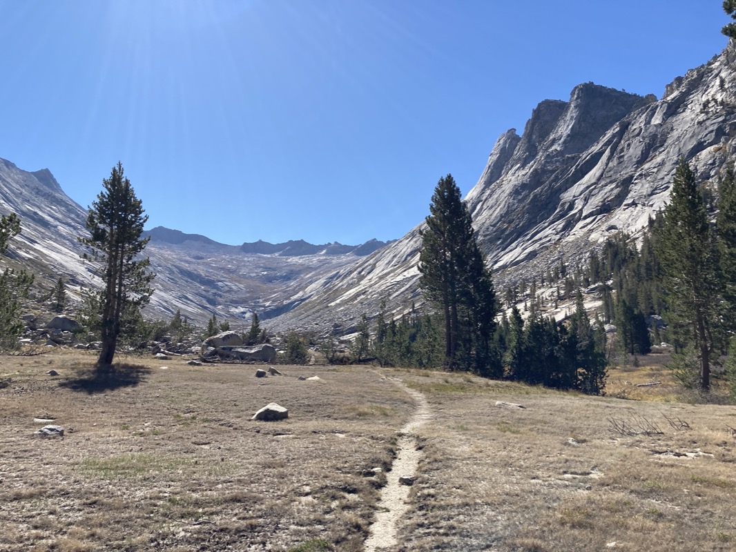
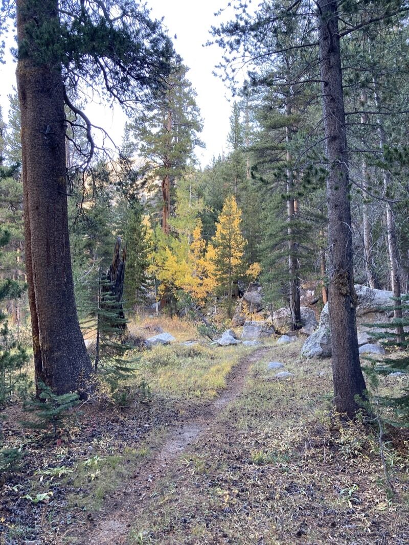
Excellent trail quality hading out on the Lakes Trail.
Heather Lake. There were several people here, as it is one of the closest lakes. I didn’t try fishing (someone already was fishing this lake)… but i could see the very big Brook Trout everywhere.
Here is Aster Lake – one of the lakes along the “Lakes trail.” No camping or fires allowed at this one. The first 6 or so miles of my route receive heavy use. Camping is somewhat organized and there were even pit toilets by one of the lakes (kind of rare in the backcountry). Fish were abundant in the lakes – and large! I didn’t try fishing, though…
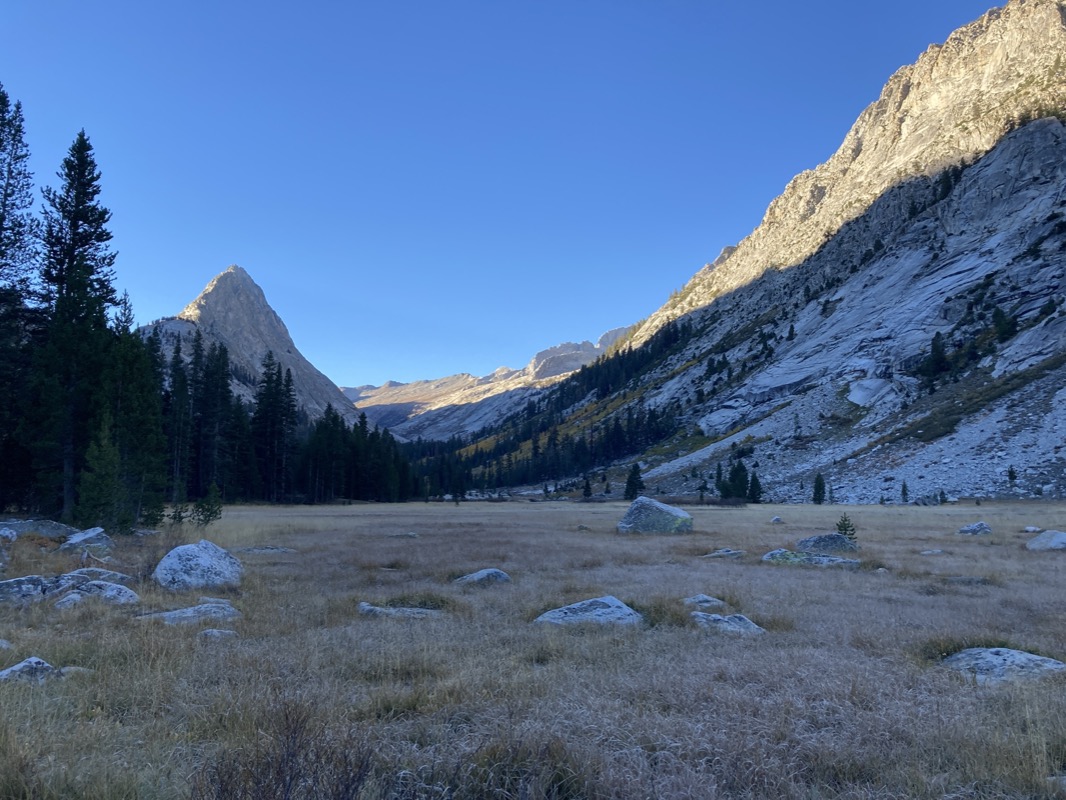
Pear Lake. I left the trail here (the trail ends at Pear lake). It was 4pm, so I wasn’t certain I was going to make my goal of Big Bird Lake. Pear lake was pretty – and no one was there. The cross country trek was relatively easy…
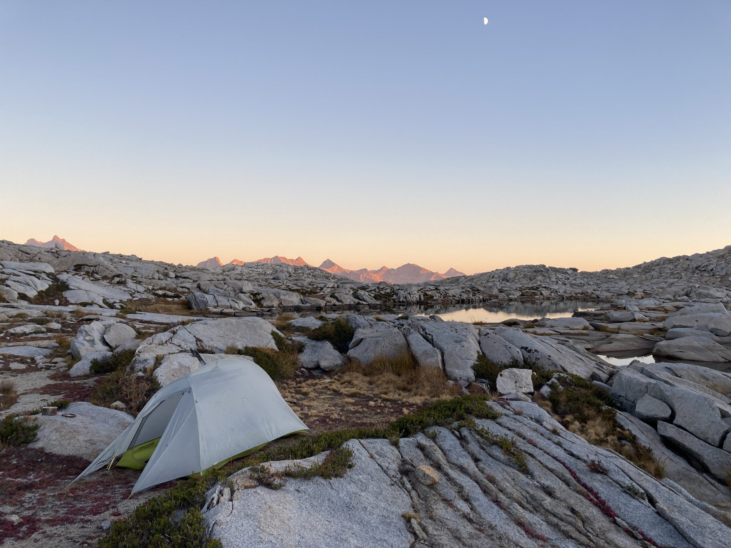
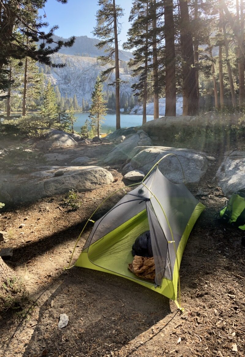
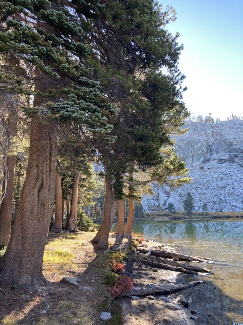
Approaching Moose Lake. Plan was to sleep at Big Bird Lake, but road work slowed my arrival and the days are shorter than they used to be. No worries, though, this ended up being a beautiful place to spend the night! Perfect temps, no wind, and a 62% full moon!
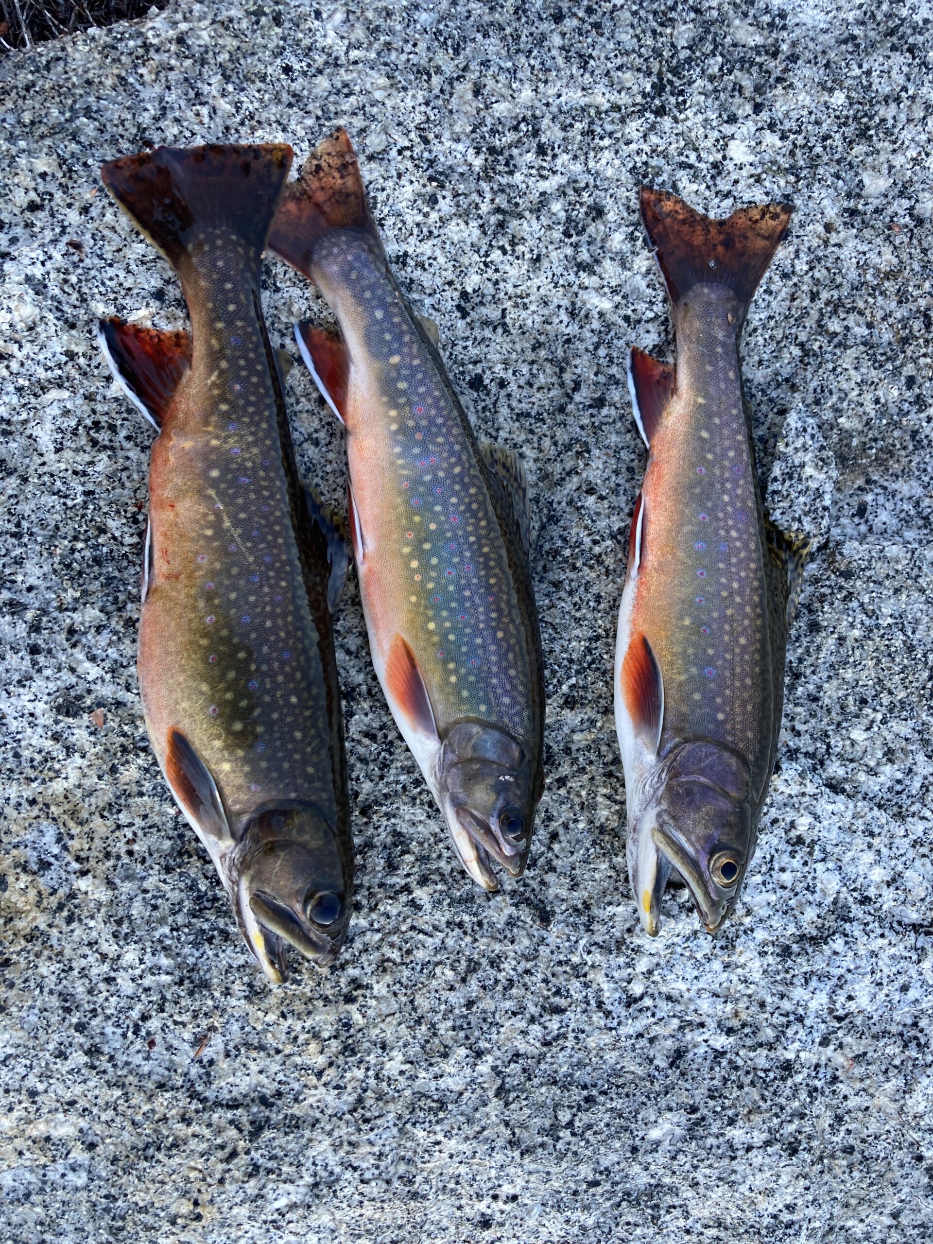
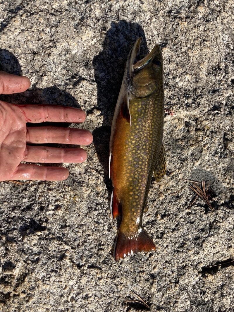
Moose lake was described as being “fishless.” That was very wrong. 3 casts; 3 fish. The limit is 5 but at this size, I only needed 3 for just me. These are Brook Trout. Aren’t they beautiful!?
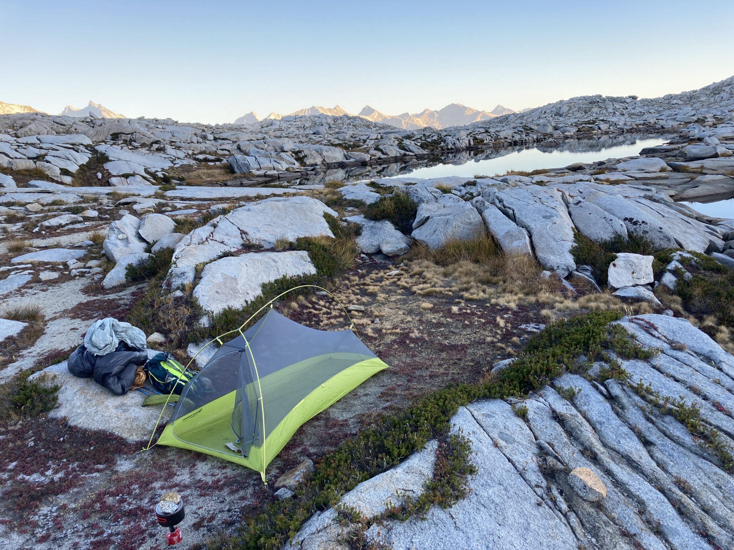
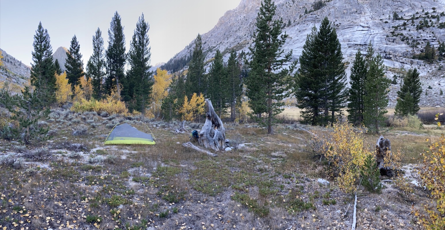
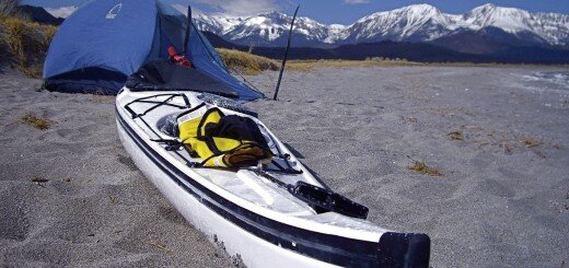
Moose Lake Camp Night 1
Day 2 morning. The first night is always hard. I thought I slept fairly well, but my heart was racing all night, and the Garmin noticed. Janet talked me into bringing the 15F bag instead of the 30F bag… and that was worth the 8oz extra for the peace of mind it afforded.
Something ironic: if my heart rate is 50bpm, it feels like it is racing and pounding compared to it’s normally relaxed 30-35bpm pace. If a physician were to measure my “racing” heart rate, they’d say, “it’s too slow”. Of course, this would be a mistake. Also interesting: Garmin now reports HRV (Heart Rate Variability). It drops WAY down (bad-ish) when going to altitude… and comes up sharply upon returning home. Well at least that happened these last 2 trips.
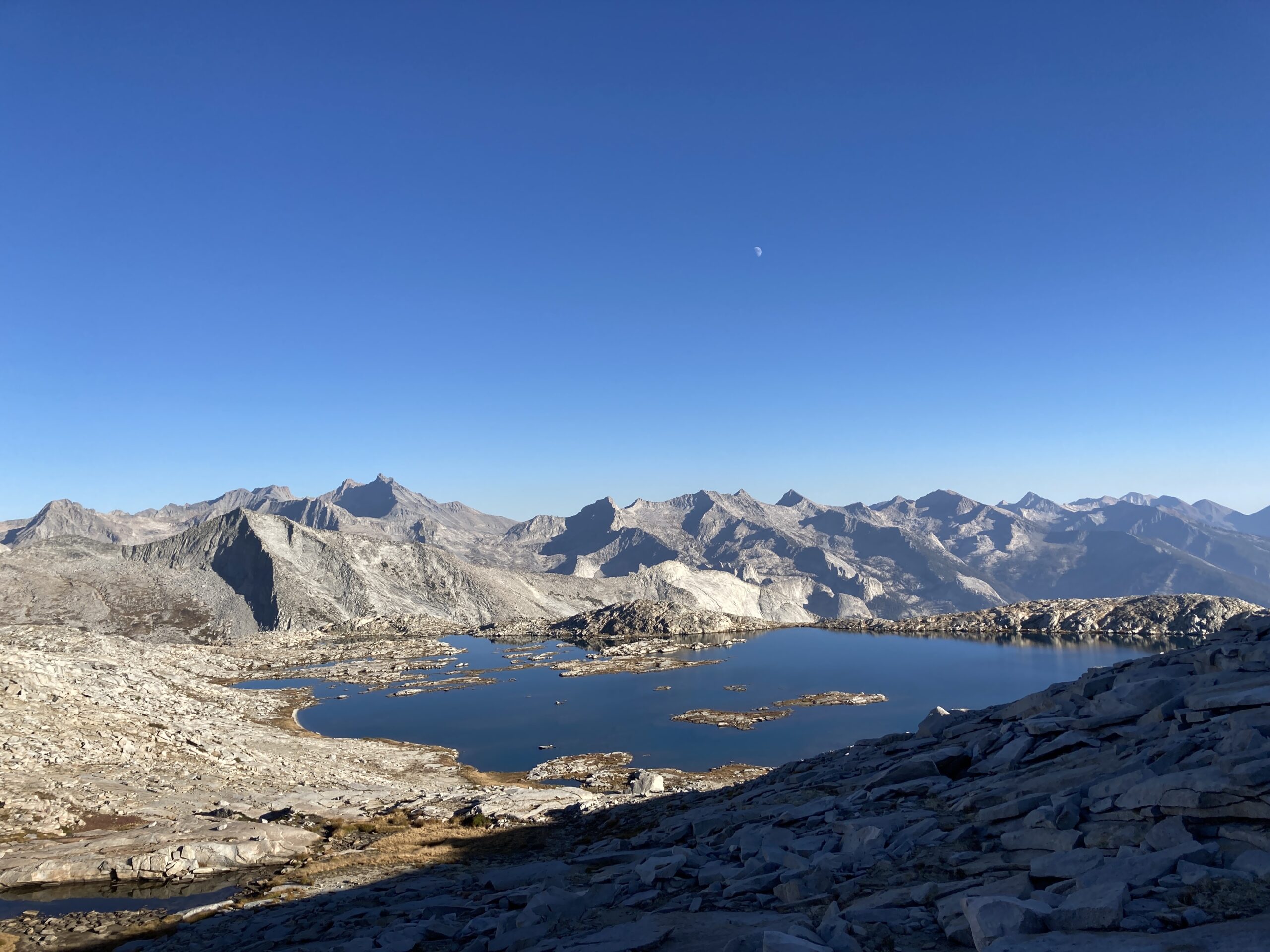
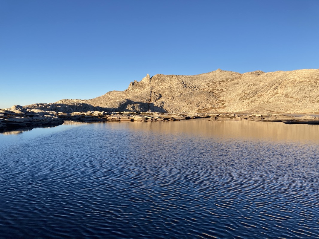
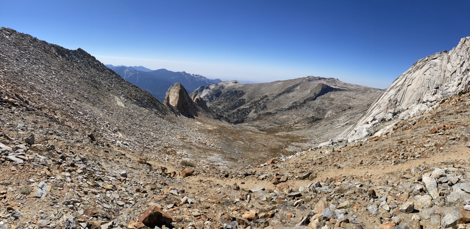
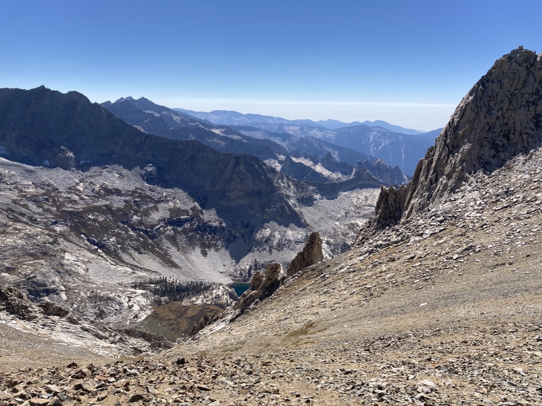
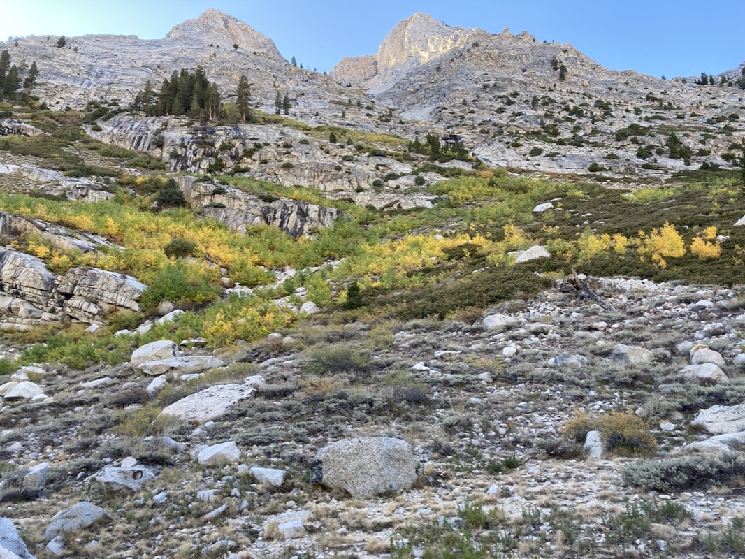
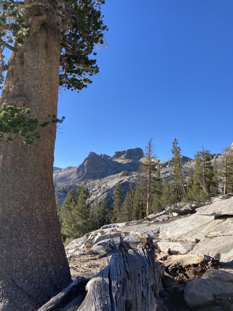
It was an easy trek to Tablelands Pass. From here you can see a Chain of unnamed lakes looking North East from Tableland pass.

Unnamed lakes below Big Bird peak. Taken shortly after tableland pass. These were some beauties! Kind of wish I had dedicated more time to this region, as they looked pretty accessible.
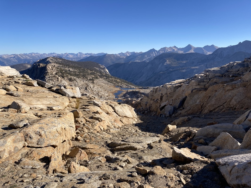
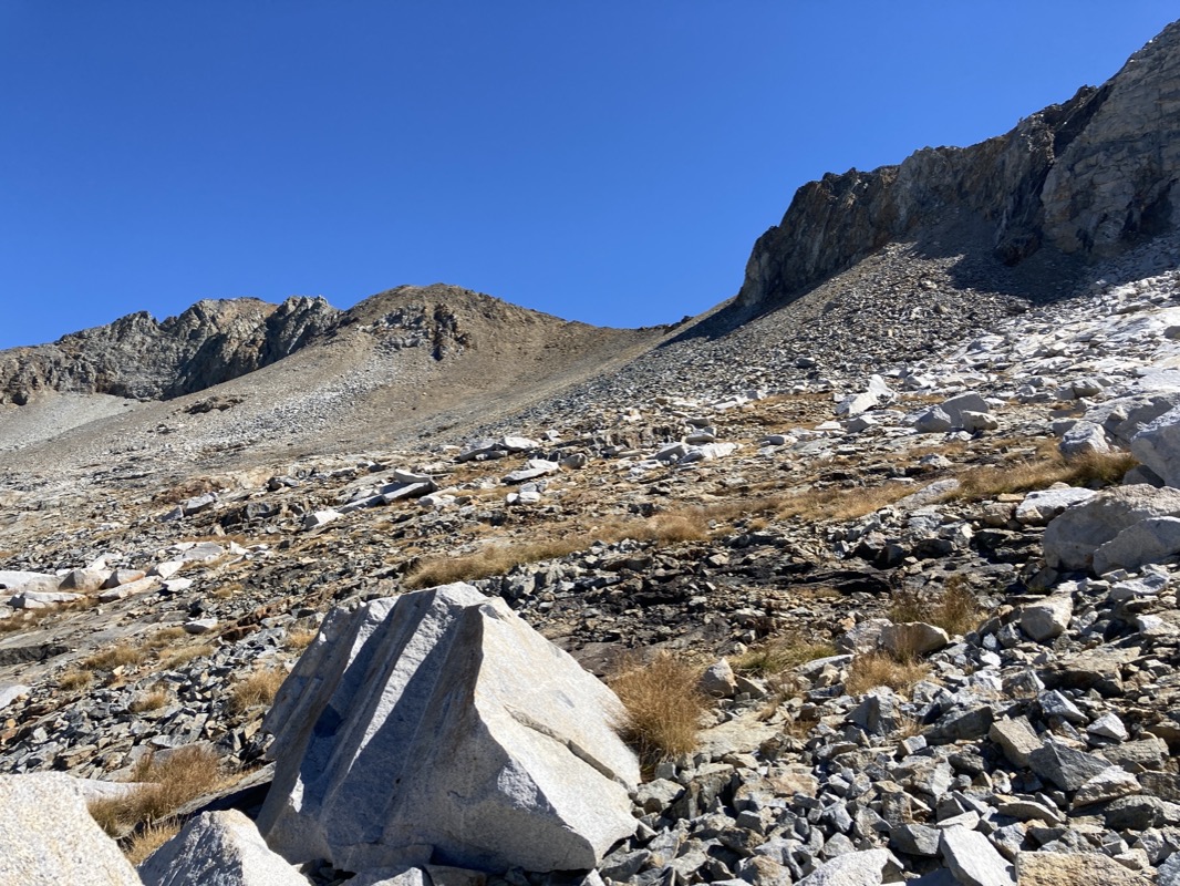
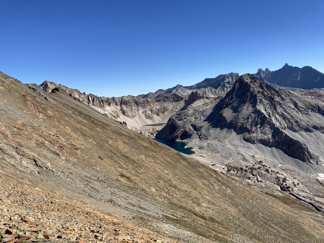
Big Bird Lake. I had been worried about steep terrain on the descent to this lake, but after working around some small cliffs, this easy descent appeared, making it a relaxed traverse.
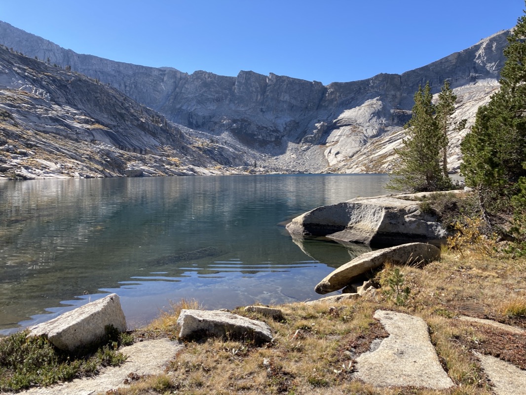
Big Bird Lake. I would catch 3 large Brook trout here – again with only 3 casts. This made for an early lunch which fueled me for the upcoming difficult sections. I really like these lakes in cirques.
After a little more navigating down from Big Bird, I popped out on this trail (the Elizabeth Pass trail).
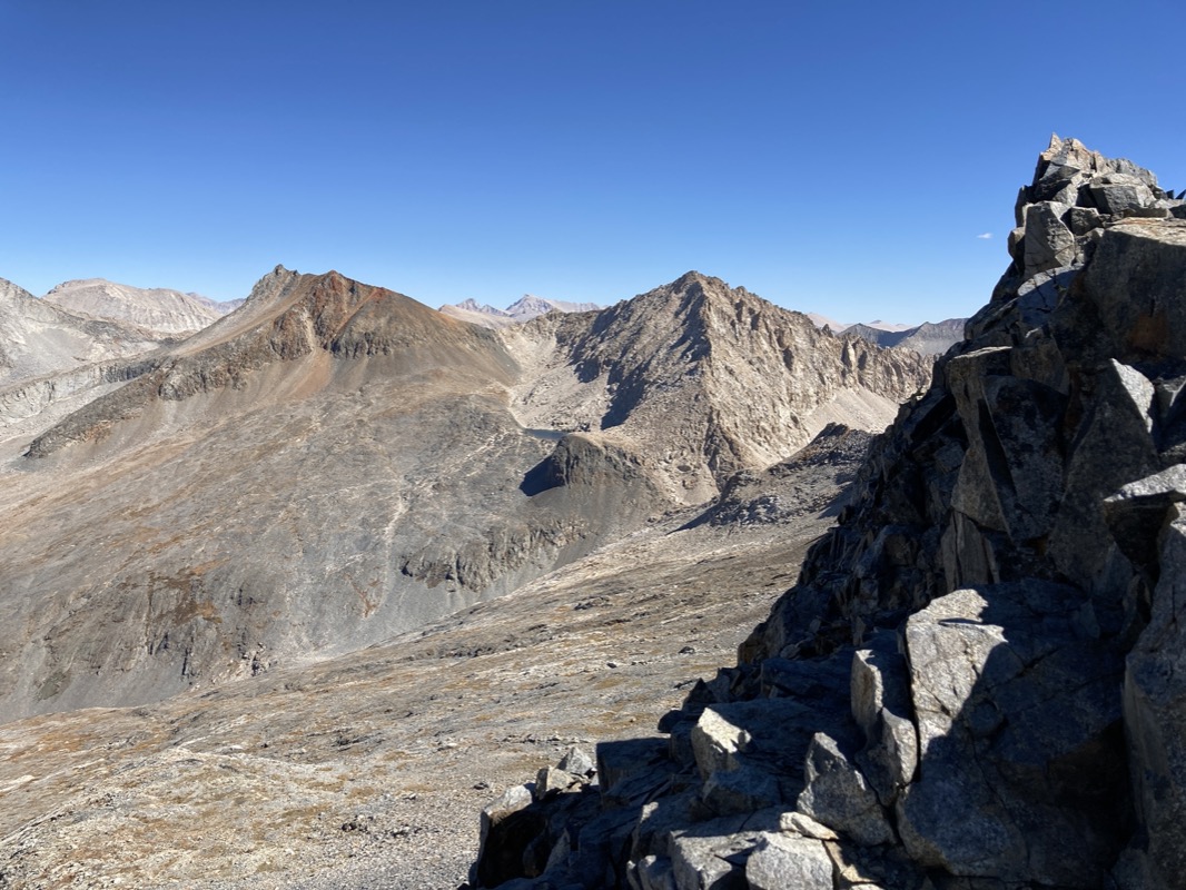
View from on top of Elizabeth Pass (I did a short out and back). From Elizabeth Pass, there are some great areas to explore: Lion Lake, and the Nine Lakes Basin. Originally, I designed my route through this region because it appealed to my sense of ruggedness and “High Sierra.” The fishing information I had, however, declared that most of these lakes were fishless… so I opted to head towards Cloud Canyon instead. That would be somewhat interesting- going over Copermine Pass.. But I could envision a separate trip in the future lining Lion lake/9 Lakes/Big 5 Lakes/Little 5 Lakes.
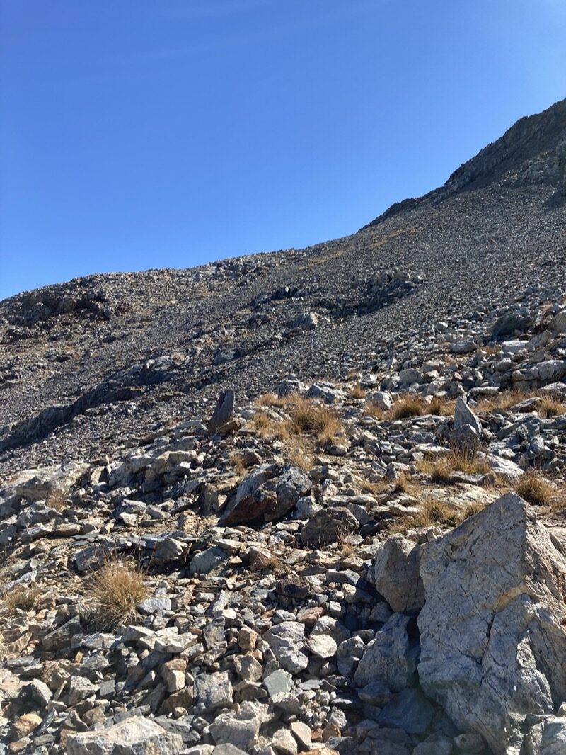
I turned around on Elizabeth Pass, went down, and then left the trail here. Copper mine pass is the saddle you see in the center. It’s a little tricky because it’s not like a traditional pass… you actually work your way around the peak just to the left. Turns out there is a very faint “use trail” that kept things quite sane.
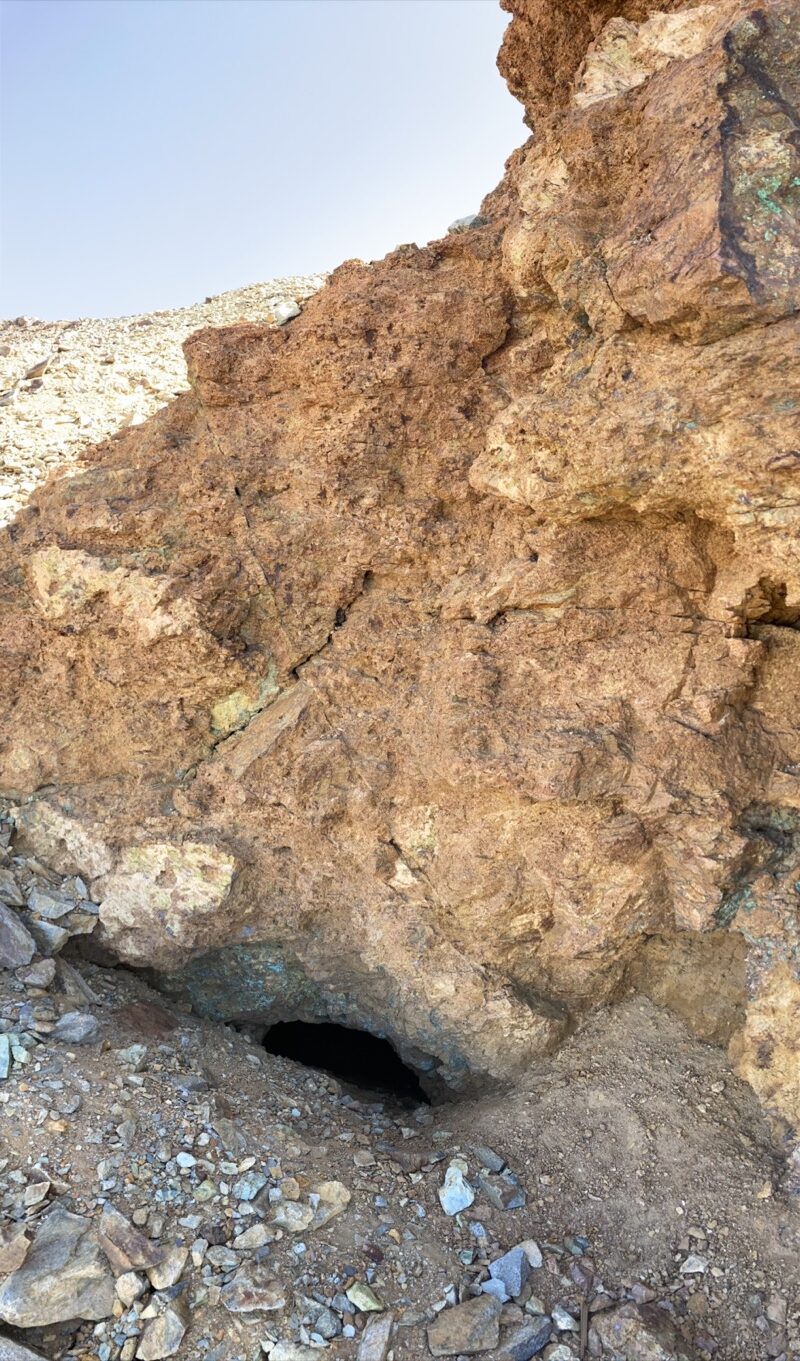
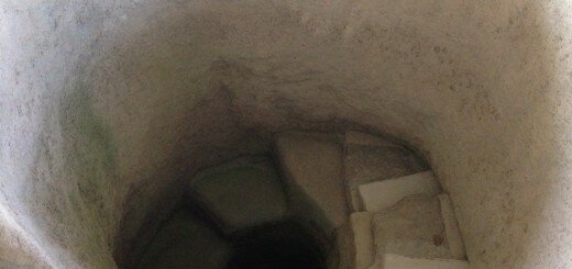
So here is the old copper mine. I can’t imagine making the trek out here to mine copper. By the time you get here, you’re pretty tired… then you’d actually have to do mining? In that hole? People used to be a lot tougher!
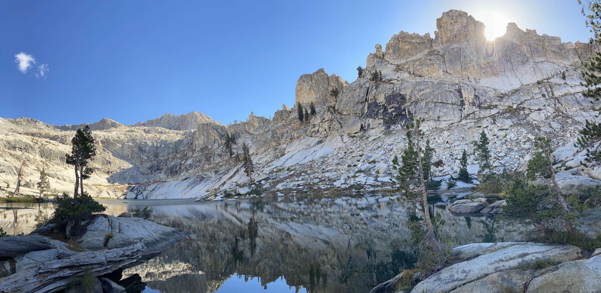
Tamarack Lake
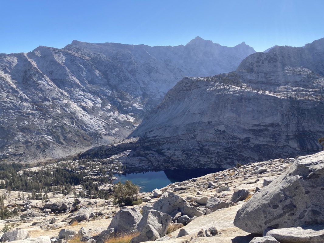
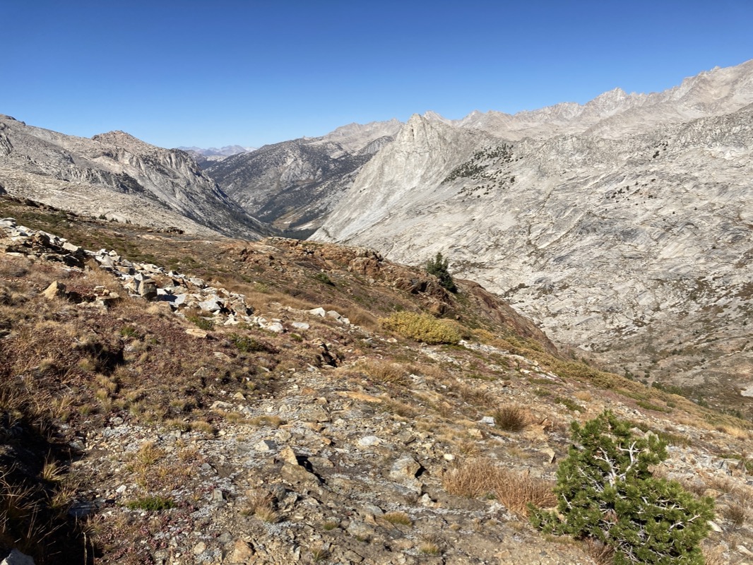
Lion Lake in the foreground and Lake 11,200 in the background. This is on the opposite side of Coppermine Pass (compared to the previous photo).
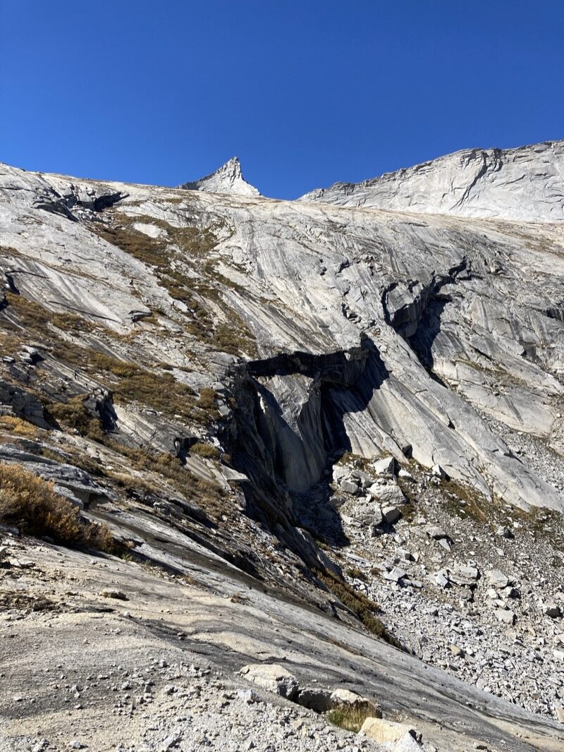
This is back on the other side of the pass. To the left is Cloud Canyon. For a moment, I thought about trying to get over to Colby lake from here – but I couldn’t see a route and too many cliffs. Later I would learn that Whale Pass is Class 3-4… so glad I didn’t try.
Looking back up the pass after descending a little.
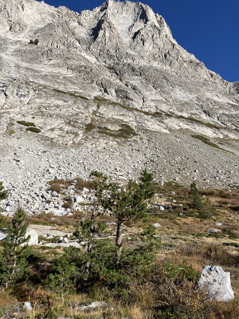
Cloud Canyon. NOTE: I DON’T REALLY RECOMMEND FOLLOWING MY TRACK DOWN INTO CLOUD CANYON. THE FIRST ~0.75 MILES ARE FINE (ALONG THE USE TRAIL)… but then I lost the trail and I suspect there is a better way. Once you reach the bottom of the canyon, there does NOT seem to be any semblance of a use trail, so it is basic avoidance of willows, talus hopping, and anything you can do to make it through.
Whew! A break from the willows. I tend to worry about talus and cliffs when doing off trail sections… but the worst tends to be willows instead. They make for some really slow bushwhacking.
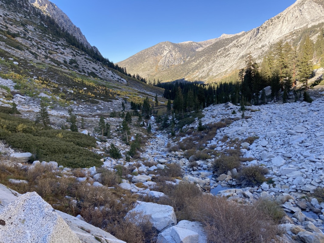
Still descending, and losing time. Going to camp in the canyon.
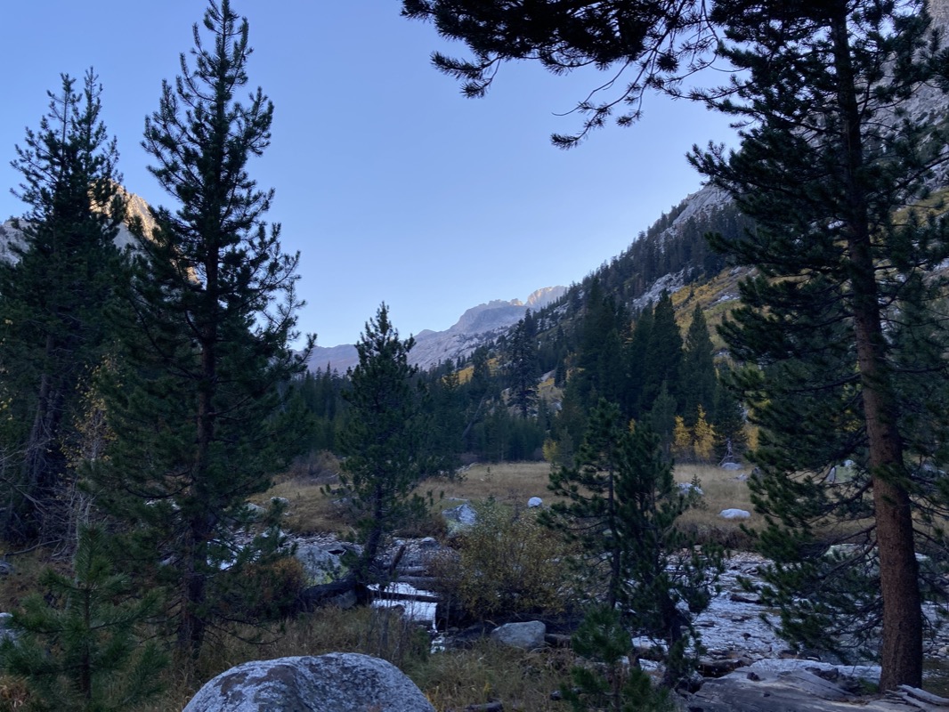
Camp in the canyon. Last night (and night 3) were warm… but this night was cold. Ice on the tent and water froze. This was also the lowest elevation I would camp. Proof that you can’t always determine if a camp will be warm based on the elevation. Cold air drains into low spots.
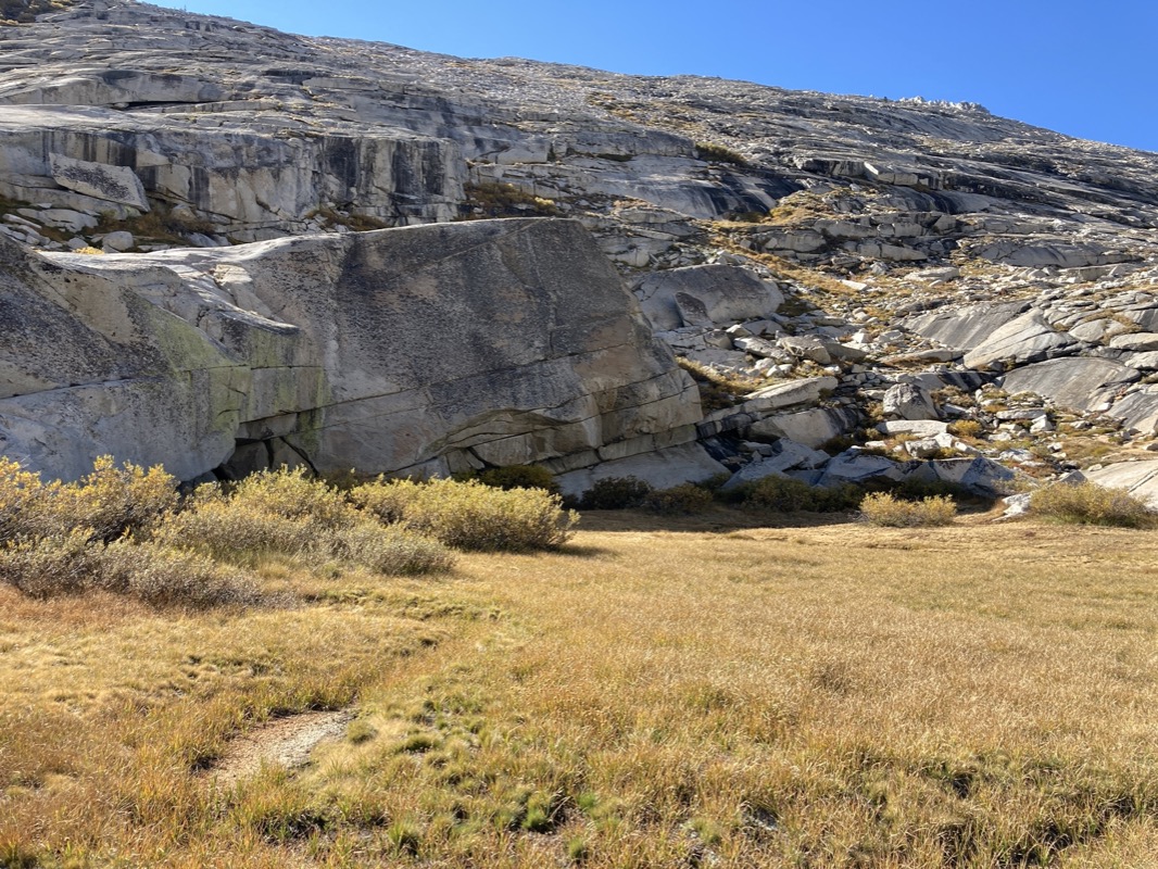
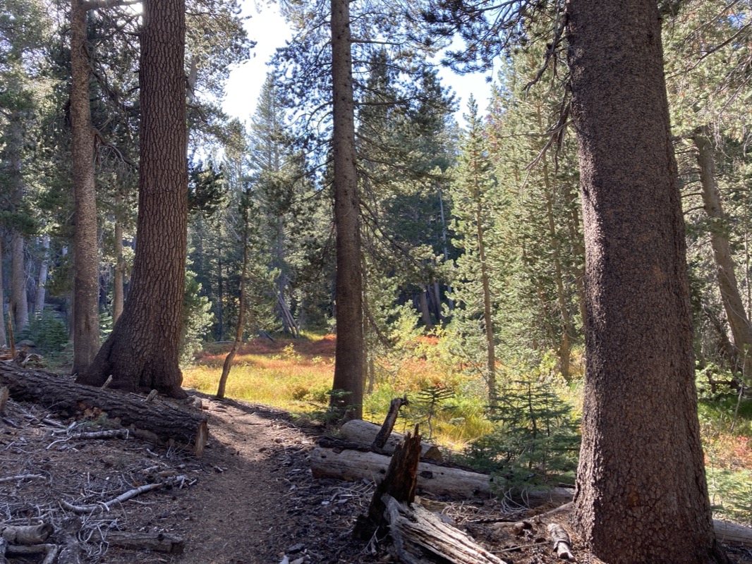
Morning meadow in Cloud Canyon (fortunately cloud free because it was icy down here)
Normally, I like to travel the high parts of the High Sierra… but also like to see what it looks like along those frolicking river corridor trails you see on the map. Usually I know that they will “just be a green tunnel…” but there is a certain beauty to that. I like the challenge and relief of the high passes, but sometimes it is nice to just relax, move fast, and follow a trail.
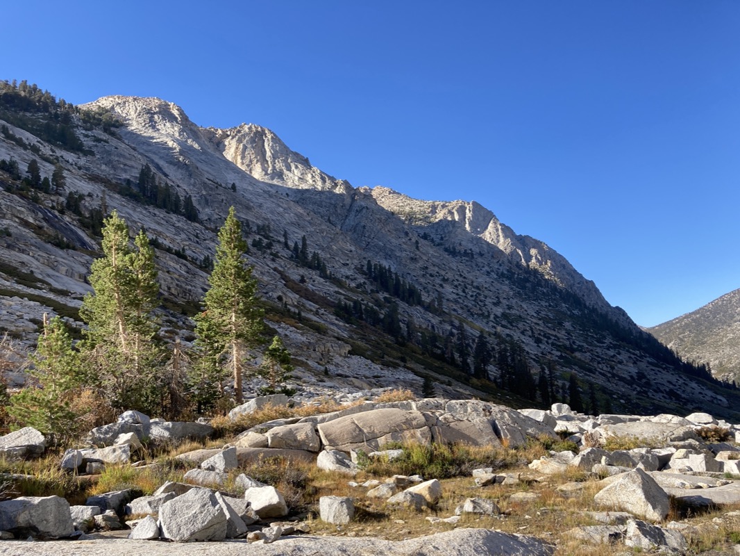
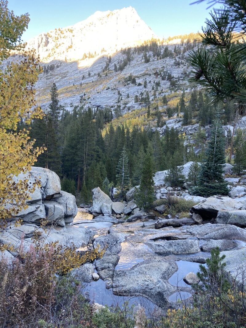
Looking up Deadman’s Canyon.
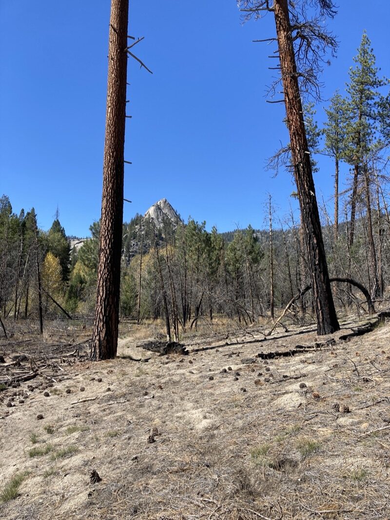
The Sugarloaf.
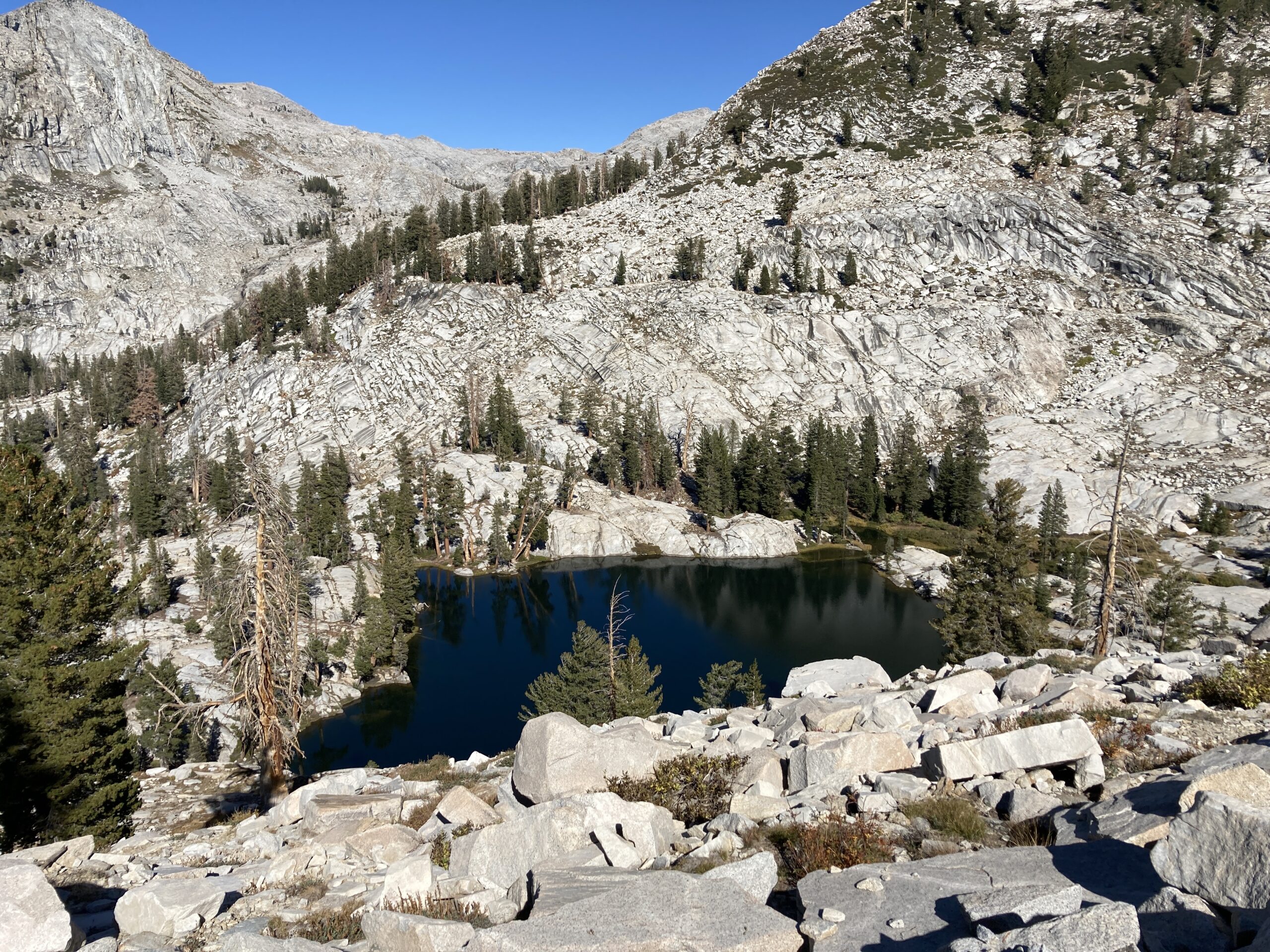
Lost Lake, how I love thee. Perfect temperatures, almost full moon, magical fishing, no one there. Wow. I would end up not seeing anyone this day either (or yesterday). By the end of the trip, It had been 66 hours since I saw some another human…. Some hikers near the Lodgepole parking lot.
I had caught 3 x 9” fish easily and figured… well maybe just one more. The next cast, this guy came along. I kind of wish I had caught him first because then I would have only caught 1 or 2 fish. There is a big difference between a 9” and 12” fish. This guy had the heft of something you might buy at the grocery store.
Morning glow heading up Silliman Pass.
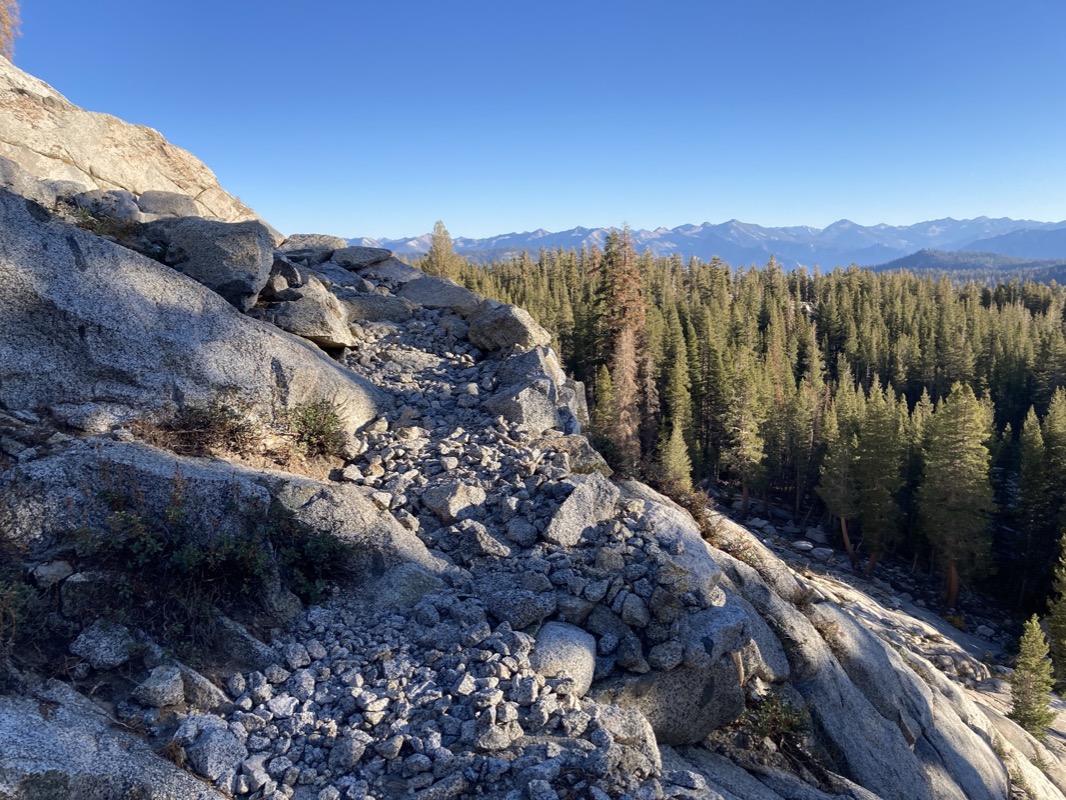
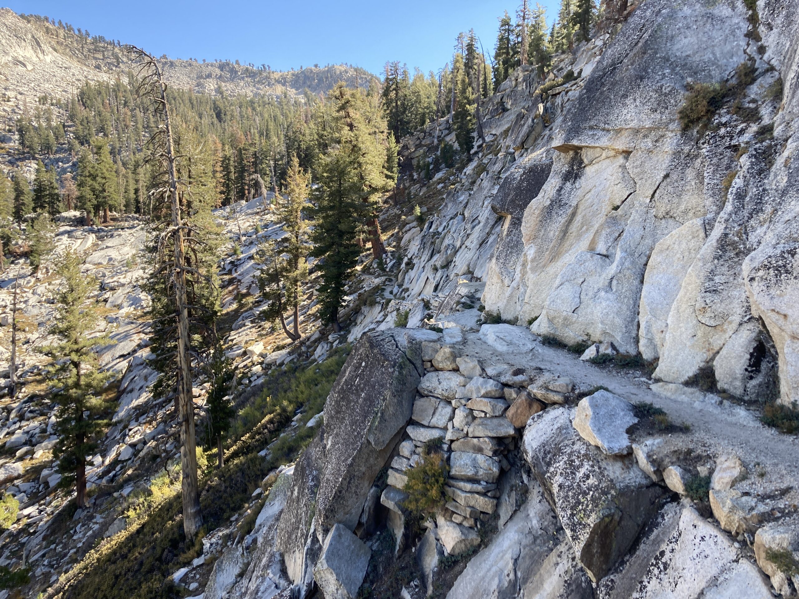
Most of the Silliman Pass trail is actually surprisingly faint – but there are very well built sections like this one.
There isn’t too much ruggedness on Silliman Pass… just at the top, but then on the South Side, you head back down into the trees again. Nice to see this part of the Sierra anyway.
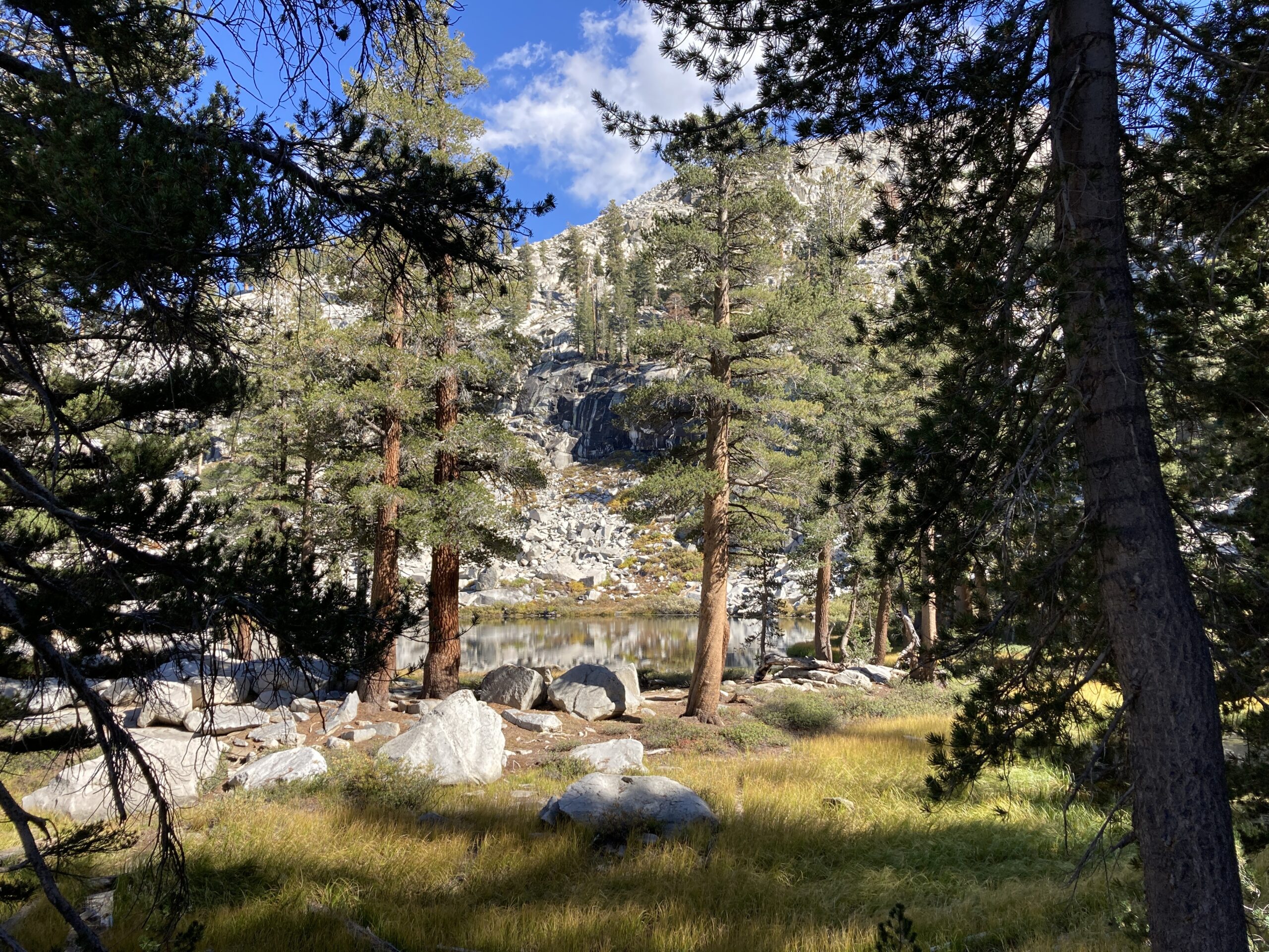
One of the Twin Lakes.


Looks nice! I didn’t know about Tablelands Pass in Oct 2002. I went to Pear Lake then east over roper’s Ptarmigan Pass. I dayhiked to look straight down on Big Bird, then hiked out via HST & Panther Gap.
I really enjoyed seeing your map and photos. I was in the tablelands this past weekend and plan to head into cloud canyon on the next trip
Thanks Brian for summarizing the whole trip and providing very valuable tips.
Beautiful photos and what a gorgeous hike!