Wandering the West Bikepack trip
In the fall of 2020, Janet and I attempted to ride the Colorado Trail. Thwarted by deep snow, we plotted a wandering route that utilized portions of existing routes such as the Pony Express Trail as well as the Comstock Epic which utilizes portions of the American Discovery Trail (ADT). The Comstock Epic Route is a good alternative to the ADT for crossing Nevada by bike because it circumvents the wilderness areas where bikes are not allowed. We enjoyed the solitude of Crossing of Nevada so much that we made two videos to share what it was like with you. The videos are an experiment to see if you get more value out of them than just the regular blog post – either as route guides or for entertainment. For us, the videos are a lot more work, but we appreciate having an animated record of the journey because it evokes a more complete recollection of the experience. As always, the map of the entire route (with downloadable GPS tracks) can be found down below.
Videos
Trans Nevada Dirt Bikepacking Route | VLOG #1
Trans Nevada Dirt Bikepacking Route | VLOG #2
Photos
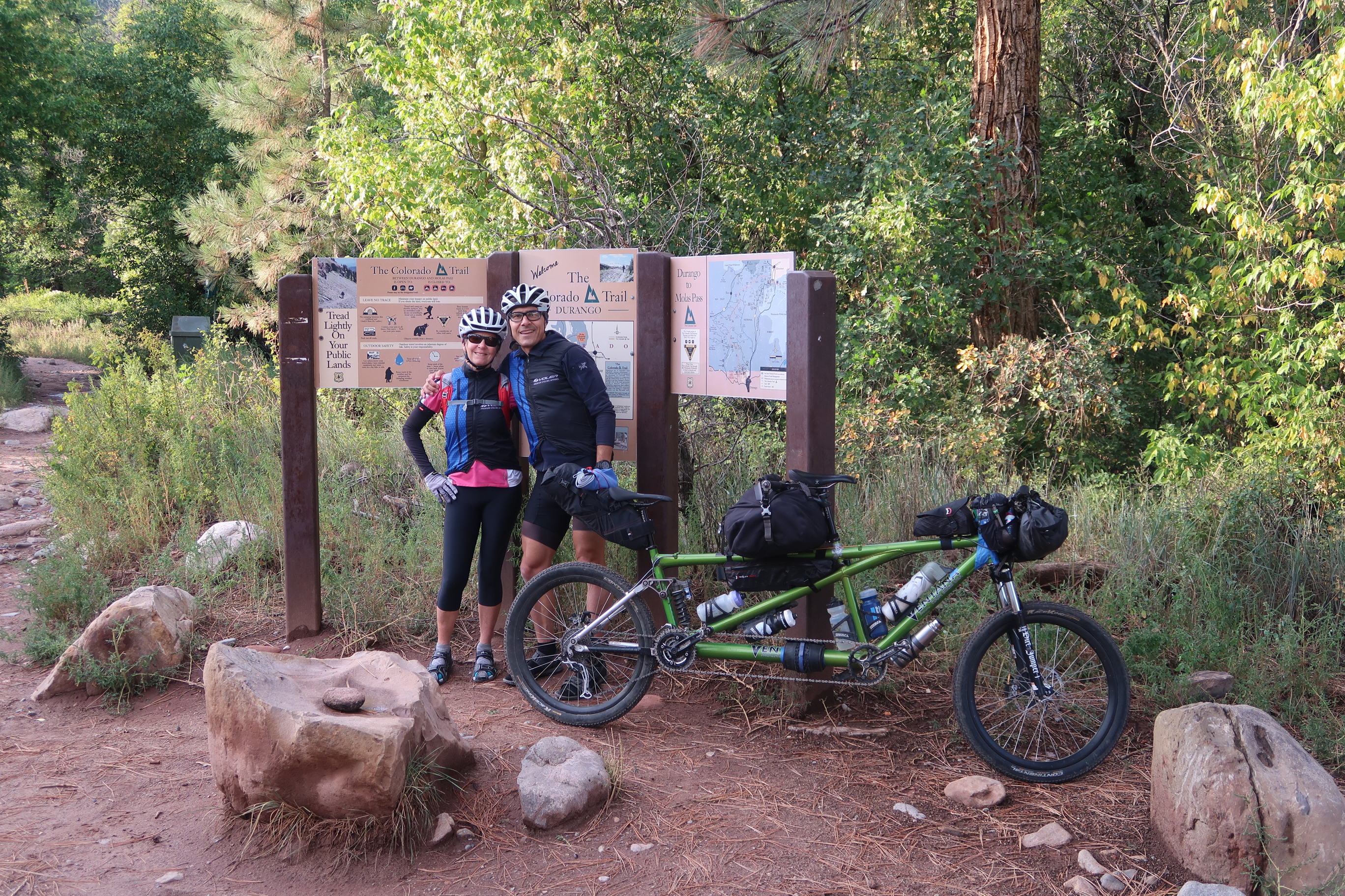
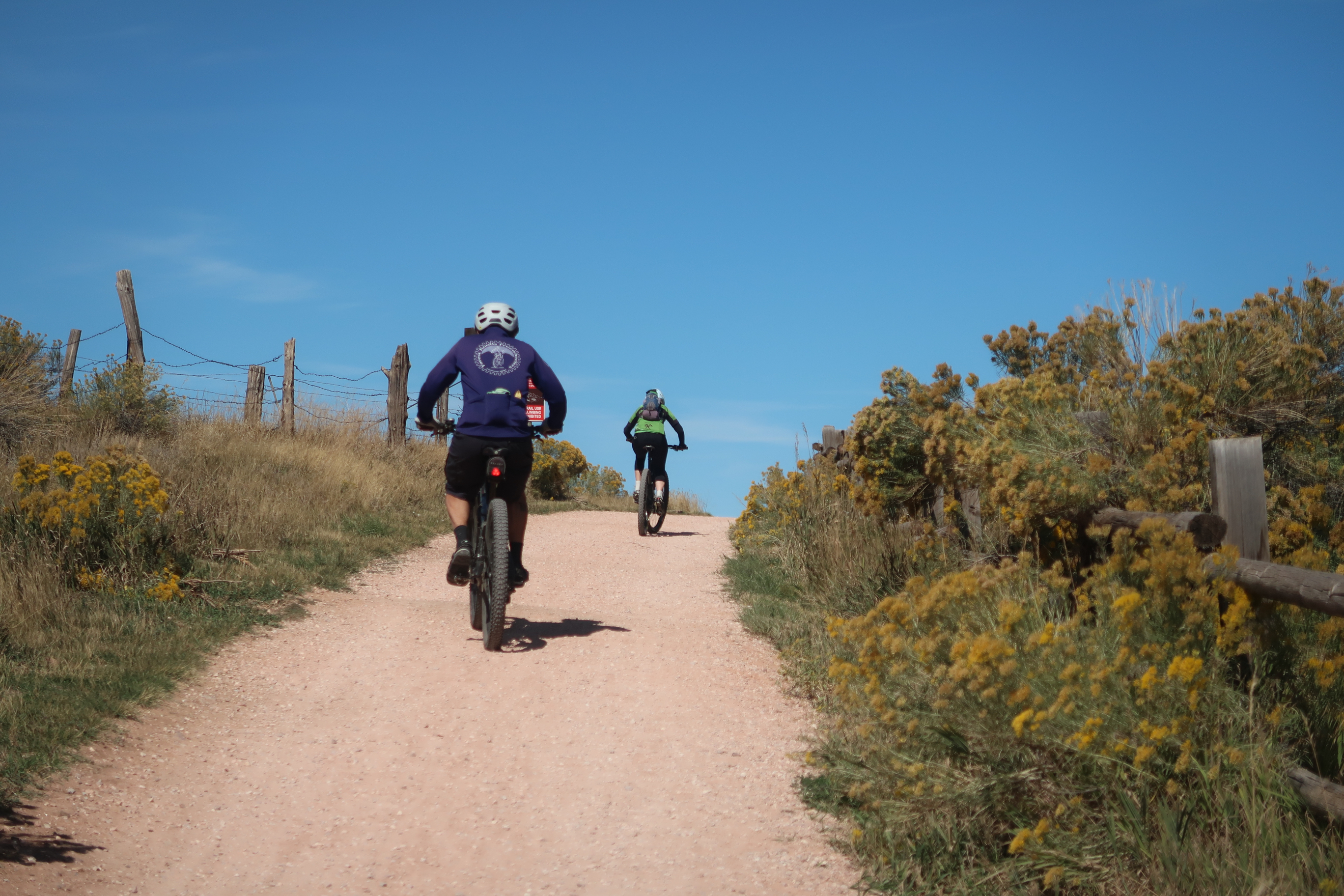
Janet and I at the start of the Colorado Trail. We managed to push about 12 miles up the trail… which took over 12 hours to accomplish with all the snow.
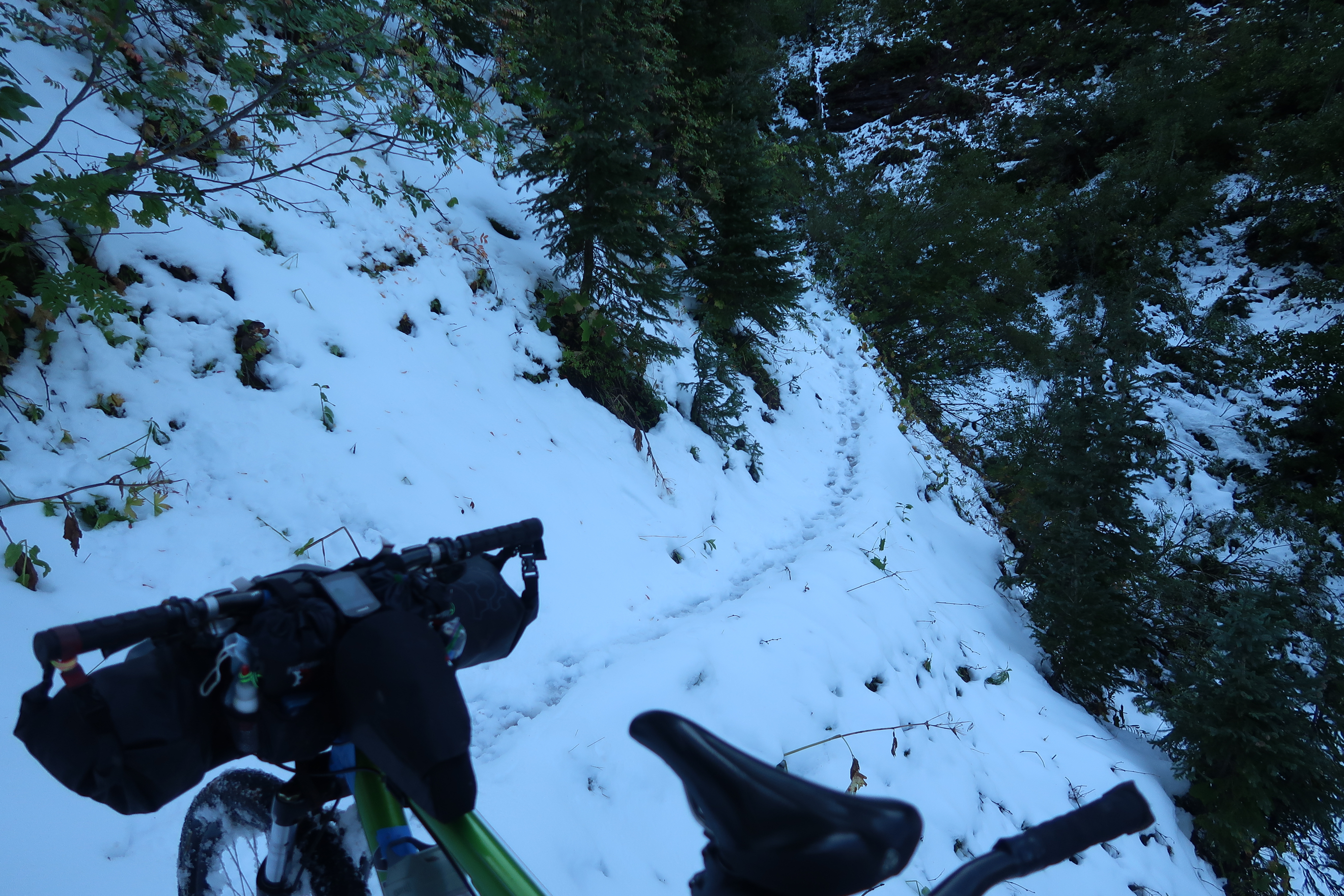
This ought to give you an idea of what the Colorado trail was like. We saw a decent number of hikers – bailing out. Even though they were trying to leave, they always encouraged us by saying, “Oh, this will melt by tomorrow”. This encouraged us to continue on. The big challenge wasn’t just the snow – it was also the deadfall, which we had to carry the 95 pound bike over… every 100 feet or so. The other big challenge was the frostbite that I acquired (and later had to treat when the edges of my toes turned black). Frostbite is never a good thing, but with type 1 diabetes, it can become very serious.
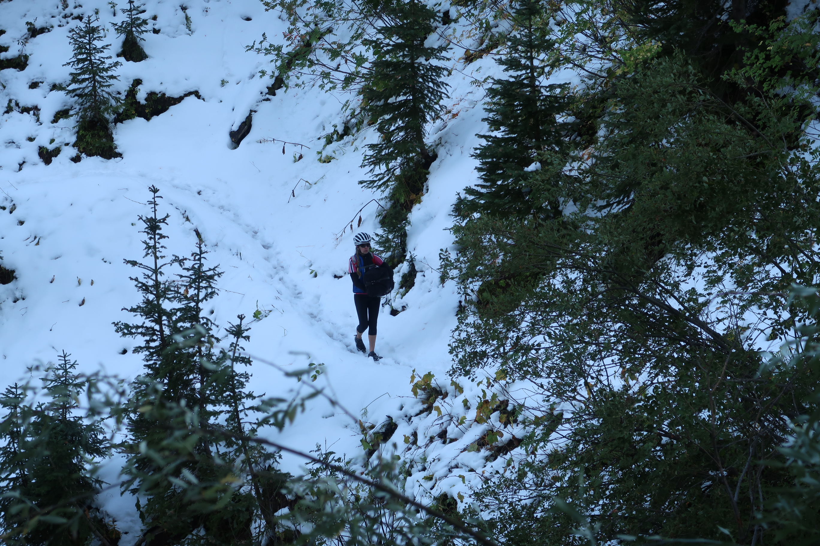
Here is Janet with LBJ. That’s “Little Bundle of Joy”. She carries the mid-bag which helps lighten the load for me. She does amazingly well, because the bag is unwieldy.
We finally bailed out of the Colorado trail. Here we are having descended a couple thousand feet on a dirt road. The final turning point was when we met a hunter walking down in the snow. The first thing he said was, “Uh, so what’s the plan here?” He told us that he was waist deep higher up the mountain. He was the first person who discouraged us about heading onwards – which is exactly what we needed. Thank you, discouraging hunter!
A couple days after we bailed out of the Colorado Trail, we got back on it! Sure enough, the snow had melted.
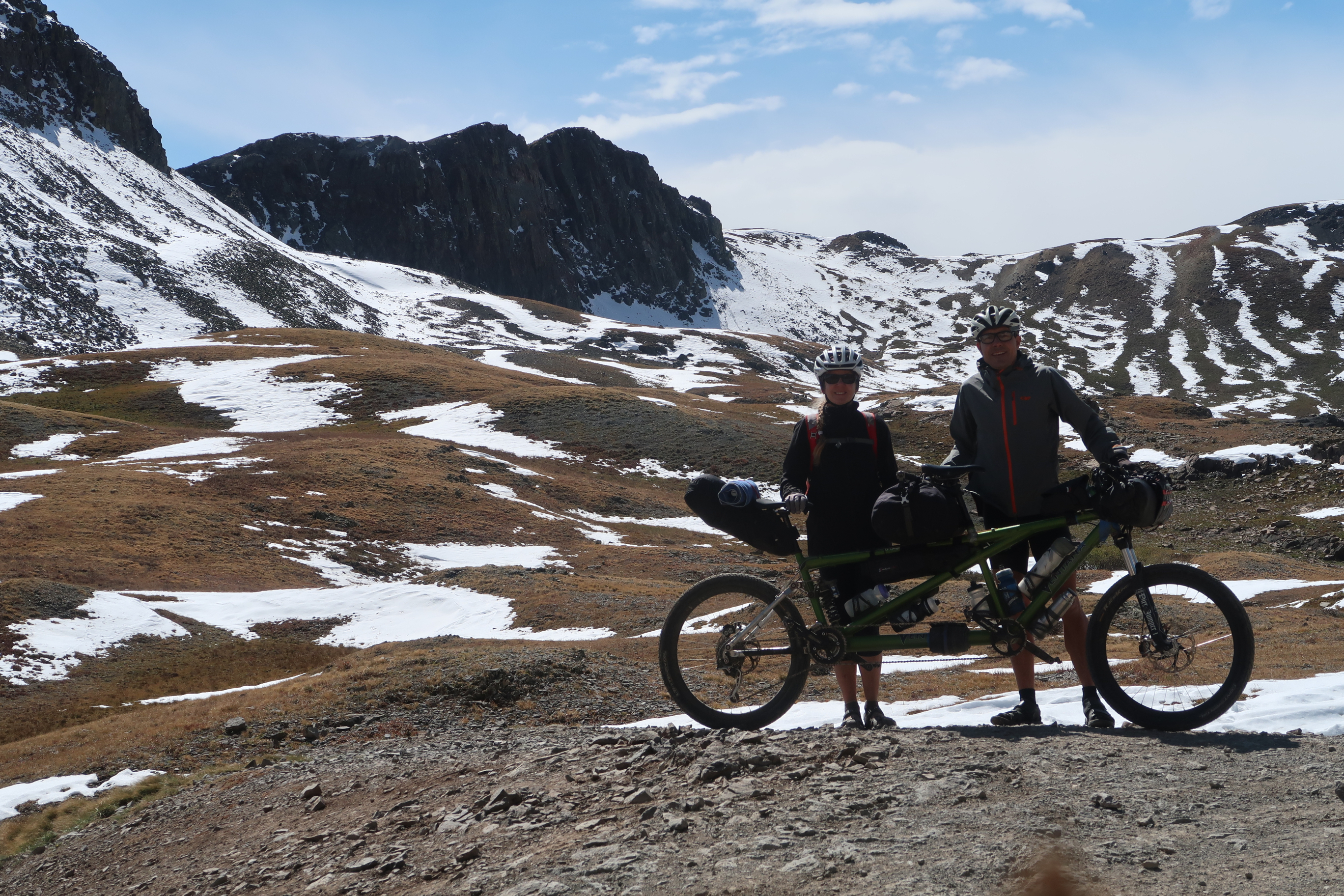
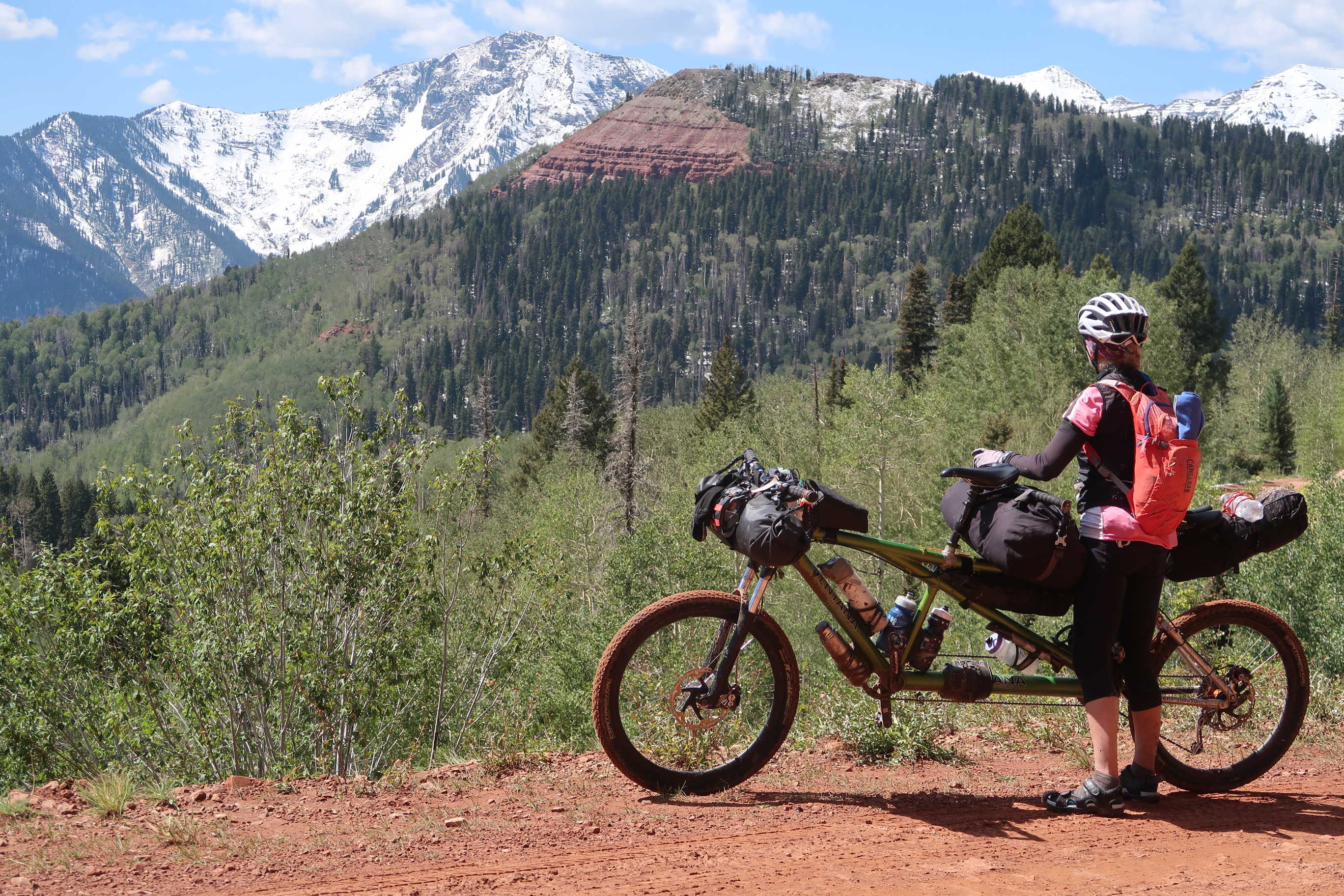
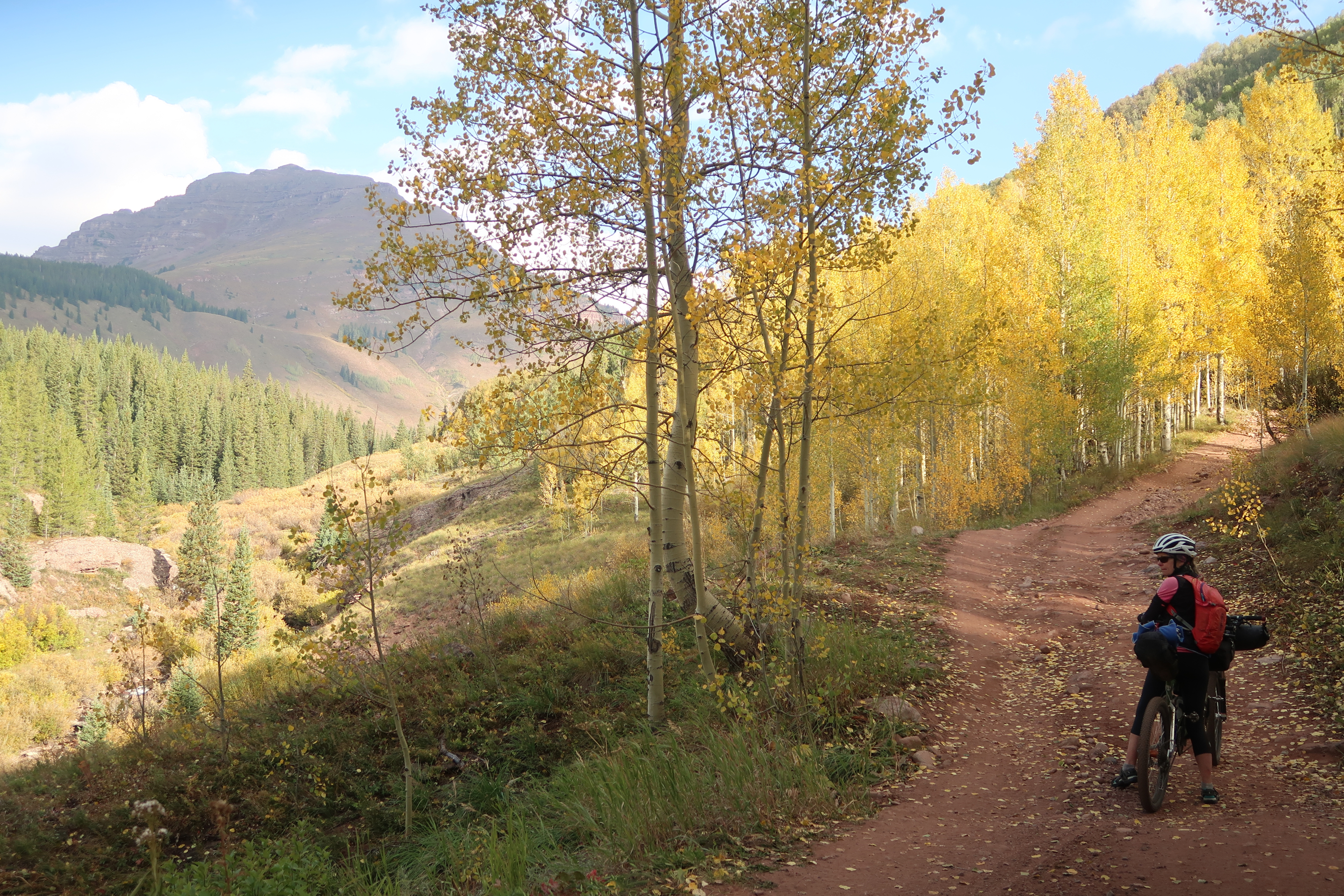
Janet and I near the top of Stony Pass. After we abandoned the Colorado Trail route, we decided to hit a bunch of bucket-list passes that I had always wanted to ride in Colorado: Pearl Pass, and Hagerman Pass.
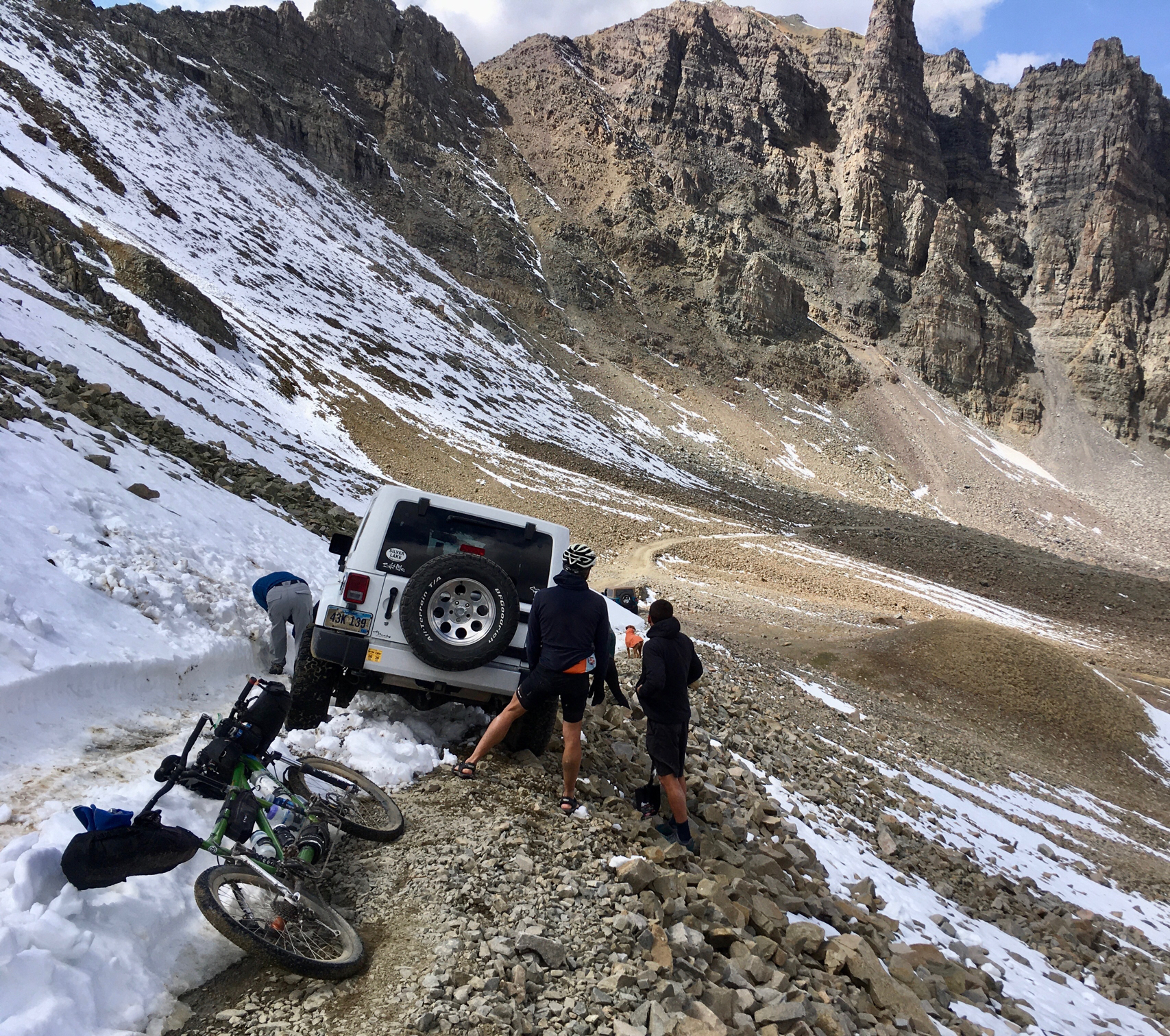
On the way up Pearl Pass, this jeep passed me. The guy rolled down his window and said, “That looks hard.” It was difficult to interpret his comment, but I thought he was kind of sneering at us. After we crested the top, we found them stuck in the snow. Before we helped them out, I resisted the temptation to say, “Gee, that looks hard.”
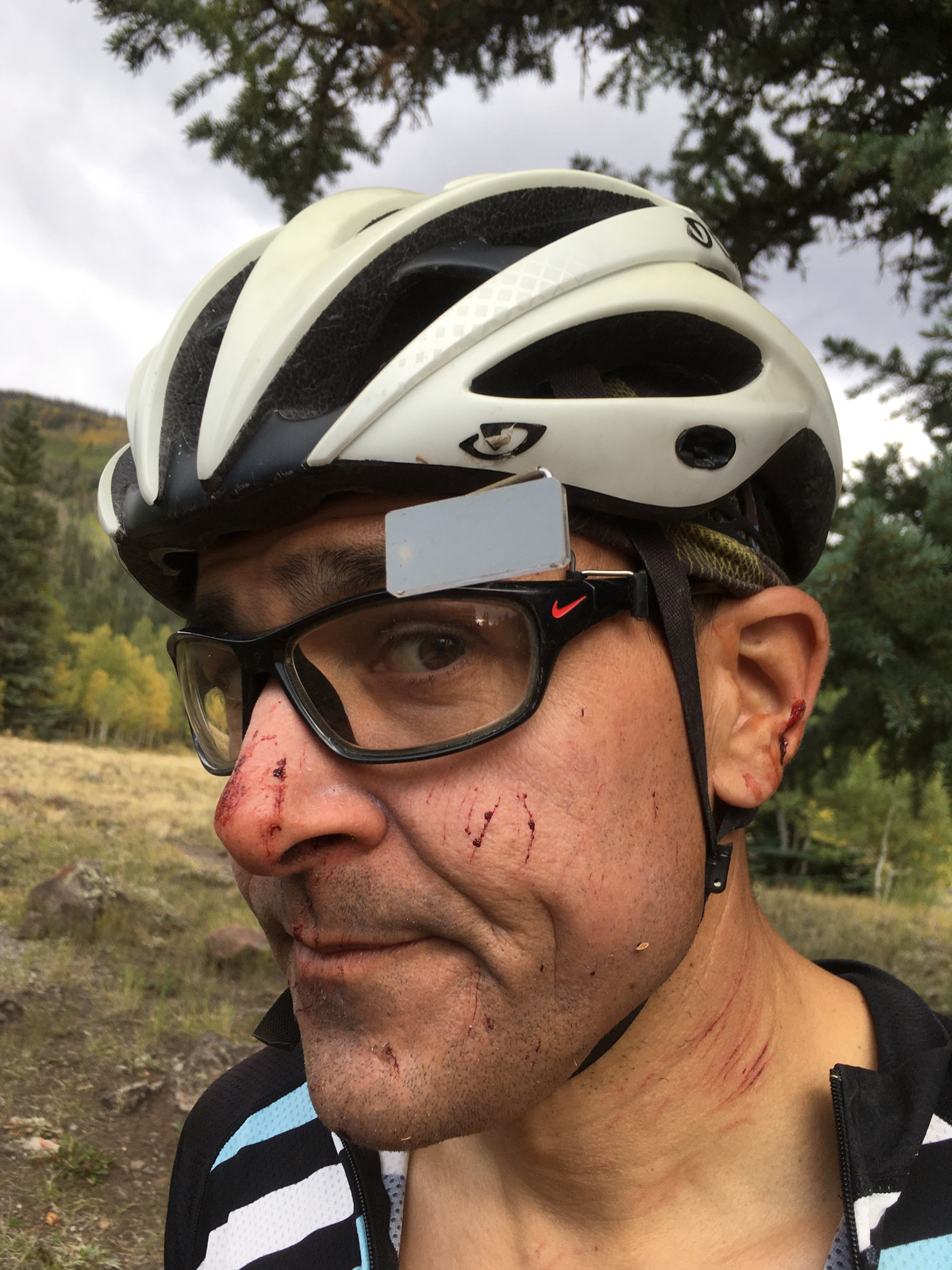
Our carbon fiber handlebar snapped as we were going downhill! We fell immediately to the ground. Janet just got a bruise on her hip, but I got face injuries, tore something in my shoulder, got carbon splinters all over my hand, and got a hematoma in my calf that hurt severely for months. I’m assuming the pedal plowed into my calf as we went down. I had to hobble around every day for weeks with the severe pain.
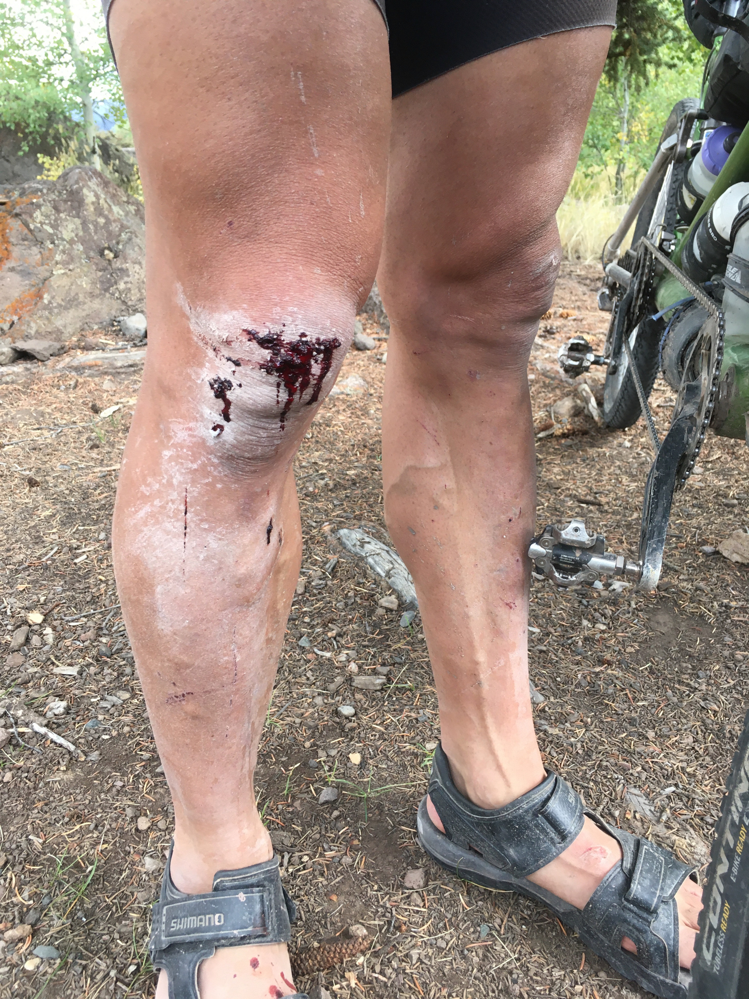
After the carbon handlebar snapped and caused a major crash, we stopped early for the day. Unwilling to quit the ride, we kept going in spite of the hobbling pain in my calf. Luckily, Janet did not break any bones considering she has osteopenia.
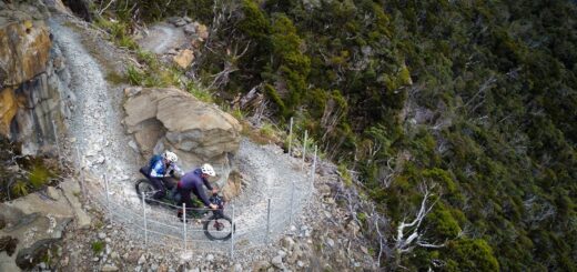
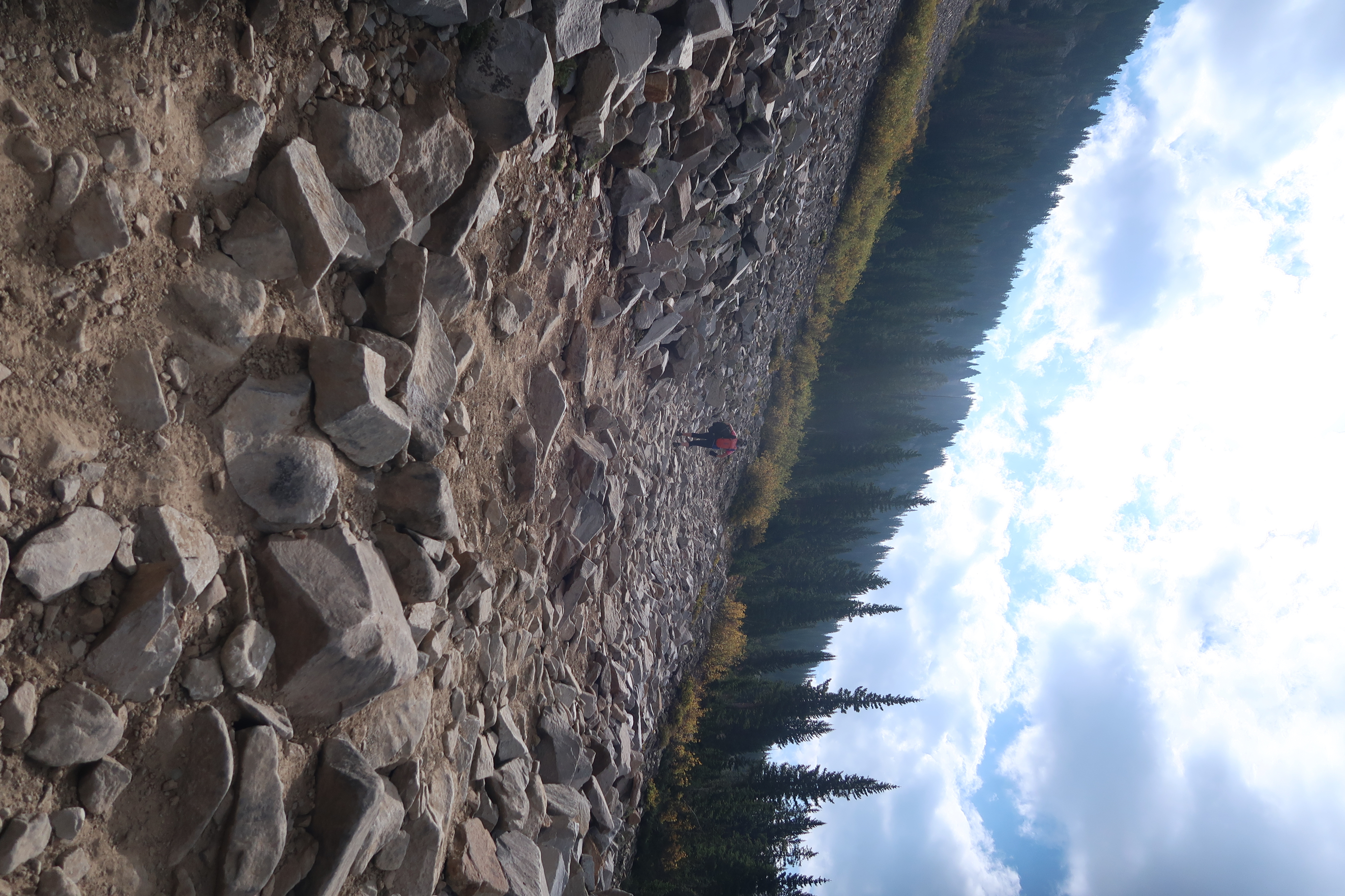
This trail was called “Death Bypass” or something like that.
Heading up Pearl Pass – near the bottom and things are still easy.
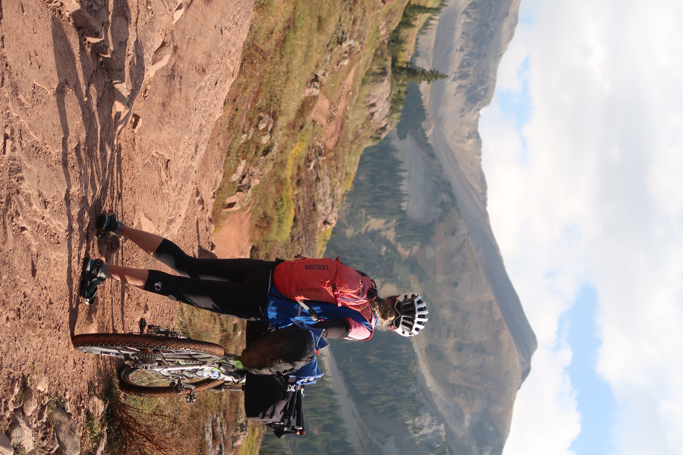
As we got higher on Pearl Pass, we definitely were carrying and pushing the tandem a lot. In retrospect, I guess it may seem a little strange that this was a bucket list ride for me.
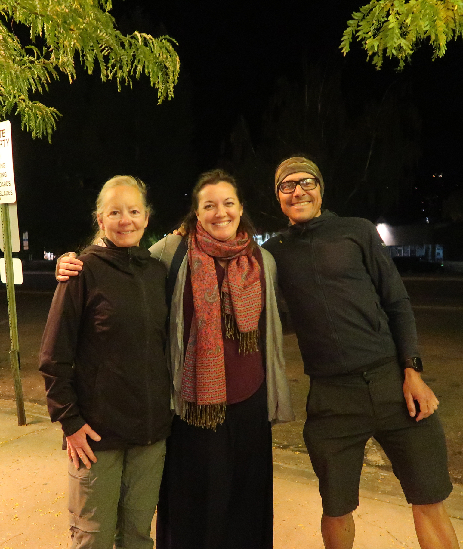
We got to visit Alana, a good friend for the last 20 years.
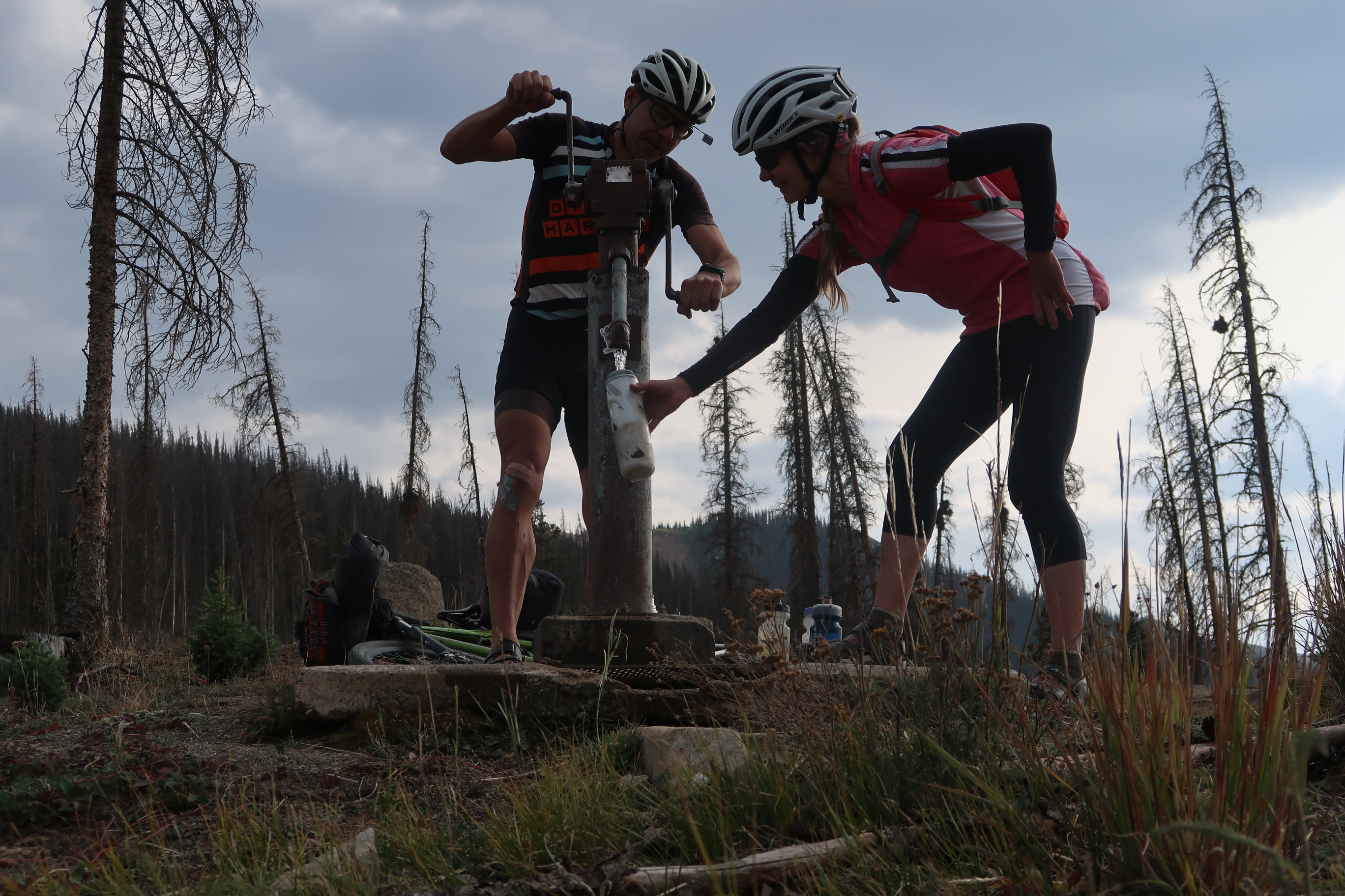
Water was generally easy to find in Colorado.
An onion can make you cry – but can an Avocado make you laugh?
Later this day, we took care of an errand… on the drive out to Colorado, in the middle of nowhere, I heard a clunk on the car roof. I looked on the rear view mirror to see an oblong object bounce off the trunk and recede quickly down the freeway. Rattled, Janet and i surmised that maybe something flew up from a truck’s tired in from of us. Only problem with that theory was that we were the only ones on the road. I came up with a better explanation: a very small meteorite had hit us. We had pulled over to let the adrenaline fade a bit, and feeling quite satisfied with the meteorite theory as the best explanation, we drove on. Later that night in the hotel room, Janet was looking for her pocket knife. Suddenly I remembered: I had left it on the roof after eating an avocado. It may as well have been an onion because it definitely made me cry having to spend $55 to get her a new pocket knife today!
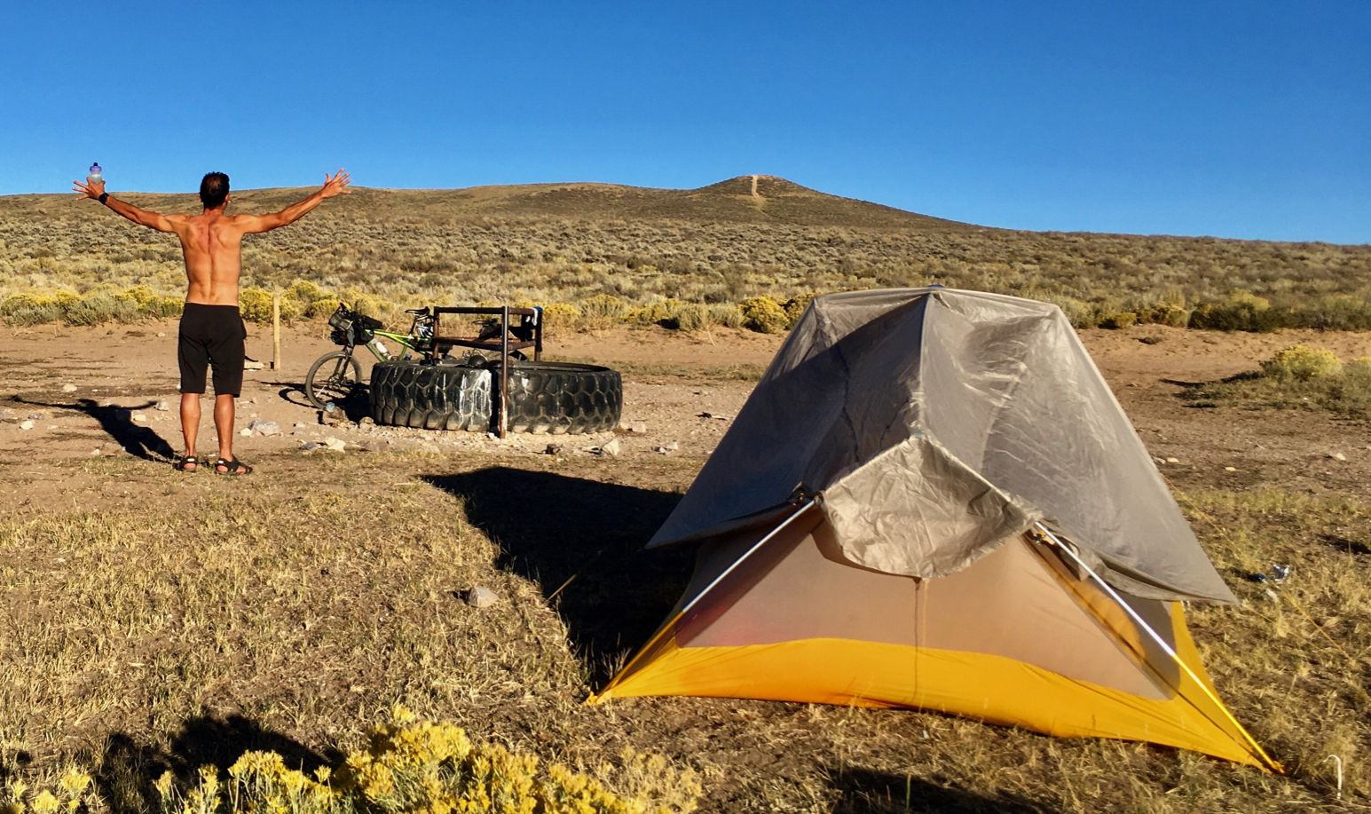
Water! We had been riding all day on dirt roads – hoping for water. We had seen a couple of muddy puddles, but finally as we were really starting to worry, this tire full of water appeared out of nowhere. I cheered the good fortune and we set up the tent!
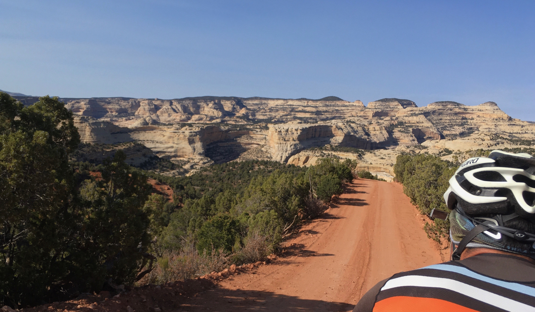
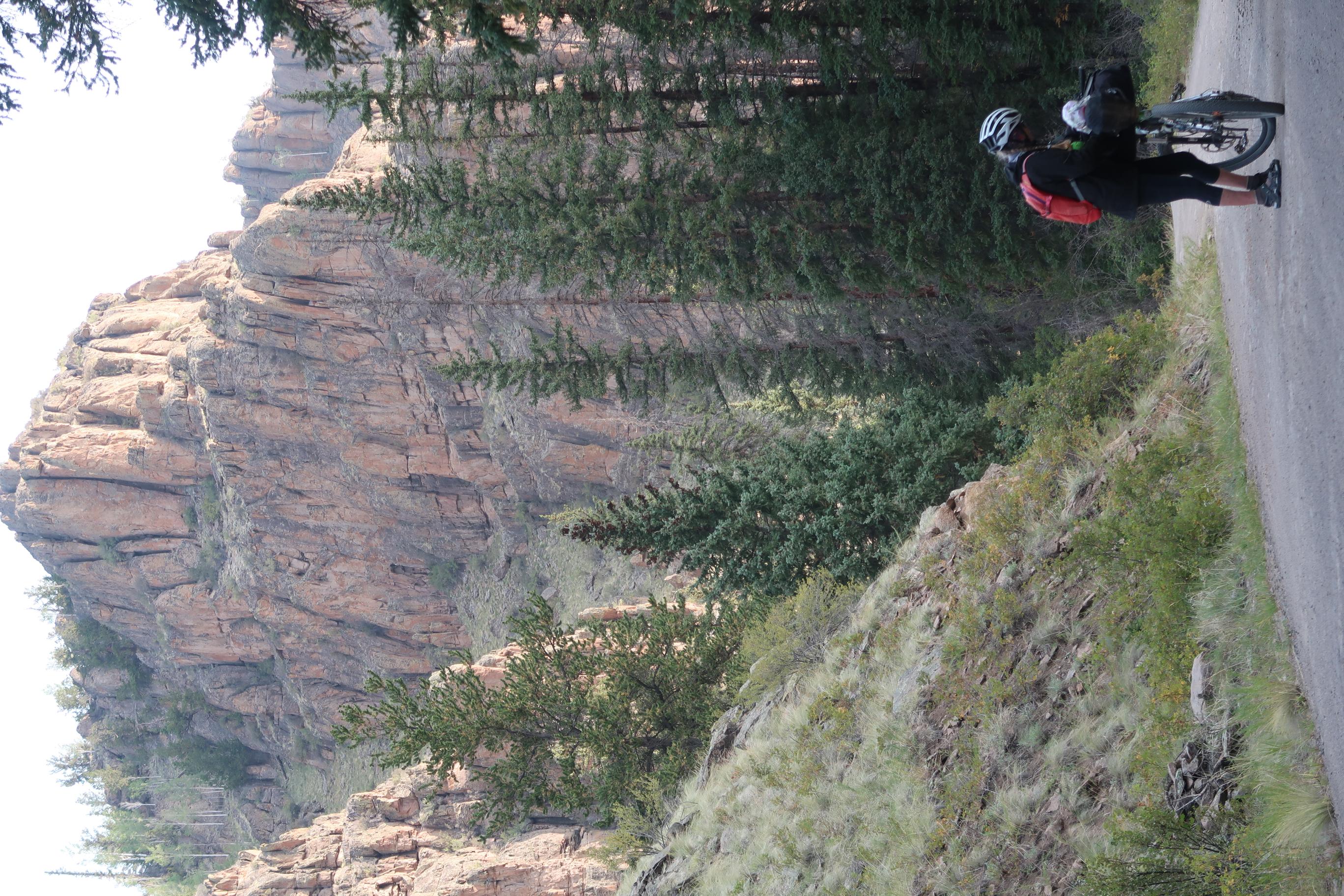
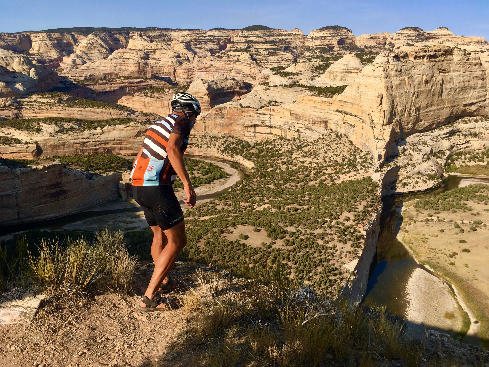
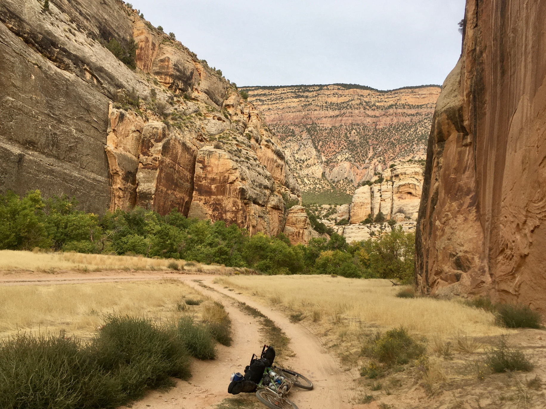
We took the back way into Dinosaur National Monument. It’s definitely the best way to enter if you have a mountain bike or 4wd vehicle!
Again we were looking for water. On my map, I saw that the water was only 150′ away… horizontally. Unfortunately, it was 700′ away vertically.
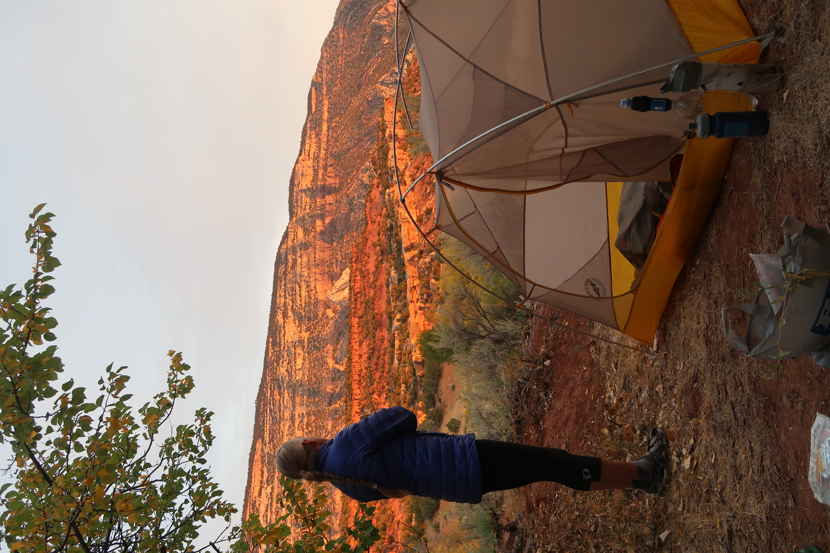
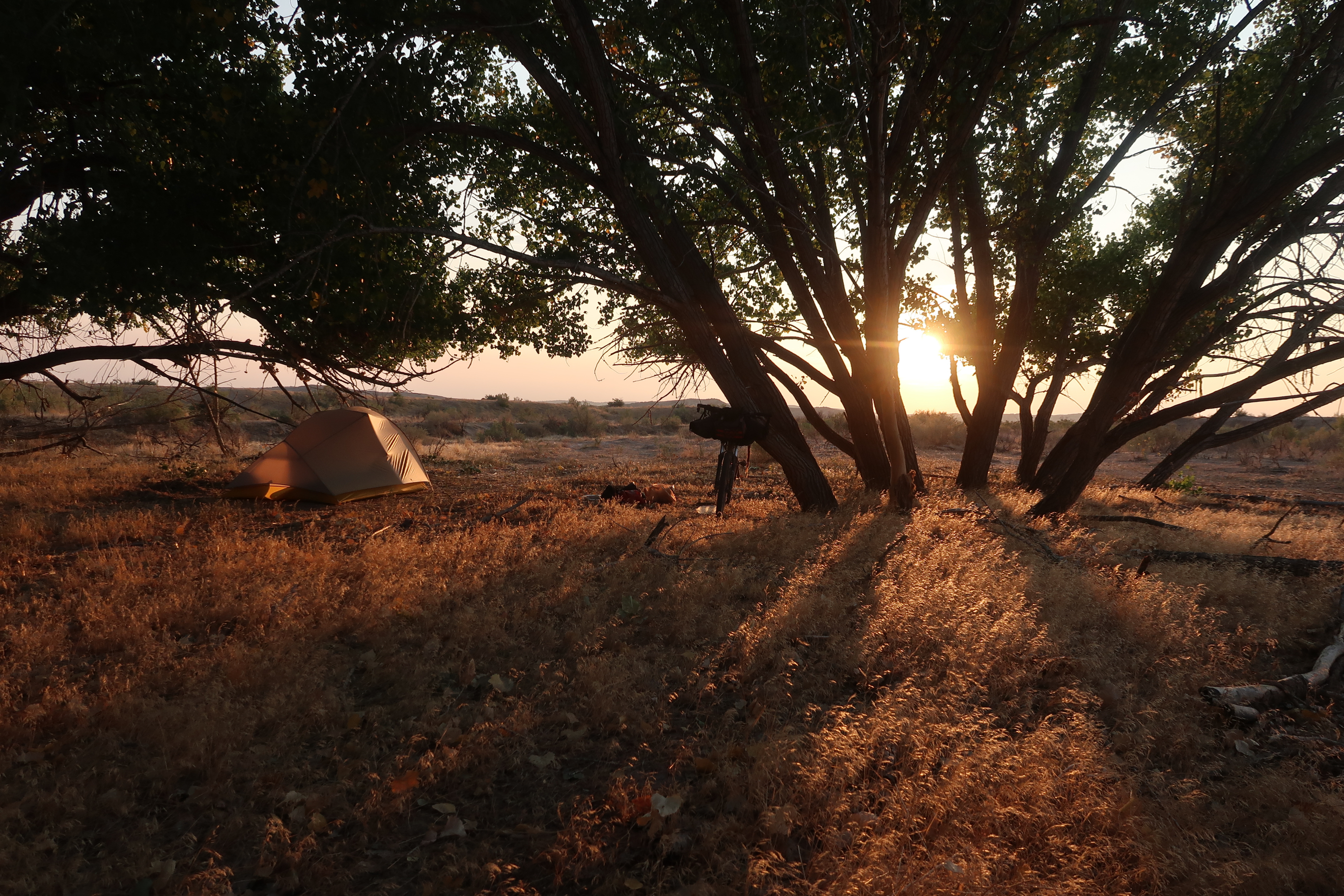
Wild camping in the wasteland. Not so bad!
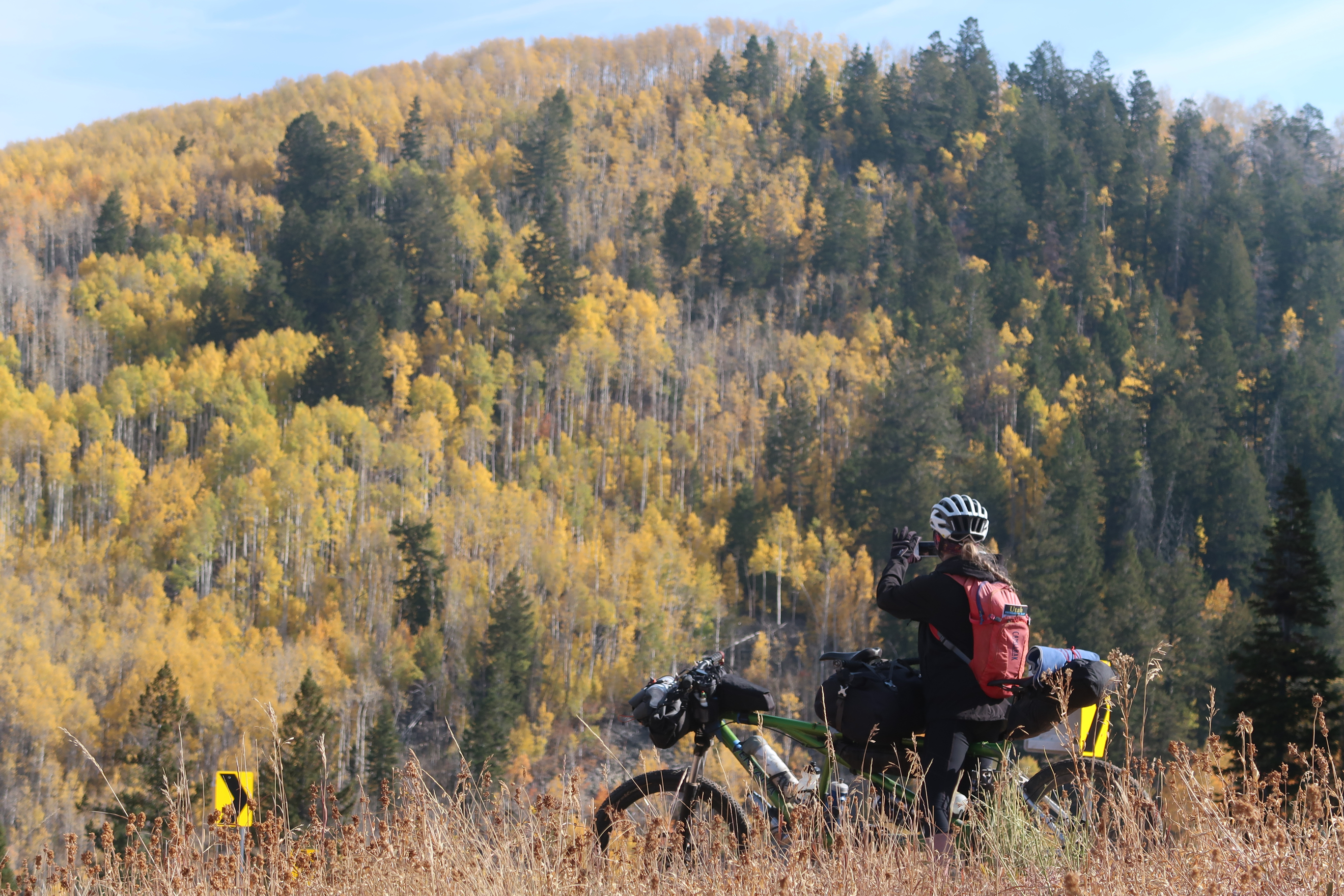
You know it is a good photo when the person in your photo is taking a photo.
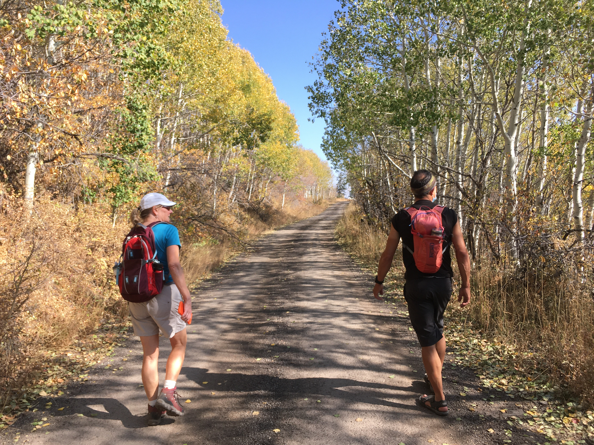
Janet and I were delighted to be able to visit our friends Debbie and Brian in Park City. Here we are scouting out a possible way to ride out from their house – but the potential route crossed private property. Two days before our departure, we left a note on the house (written on the back of a Walmart receipt) asking them for permission to cross their property – with our phone numbers. They never called, so we went out on the main road instead.
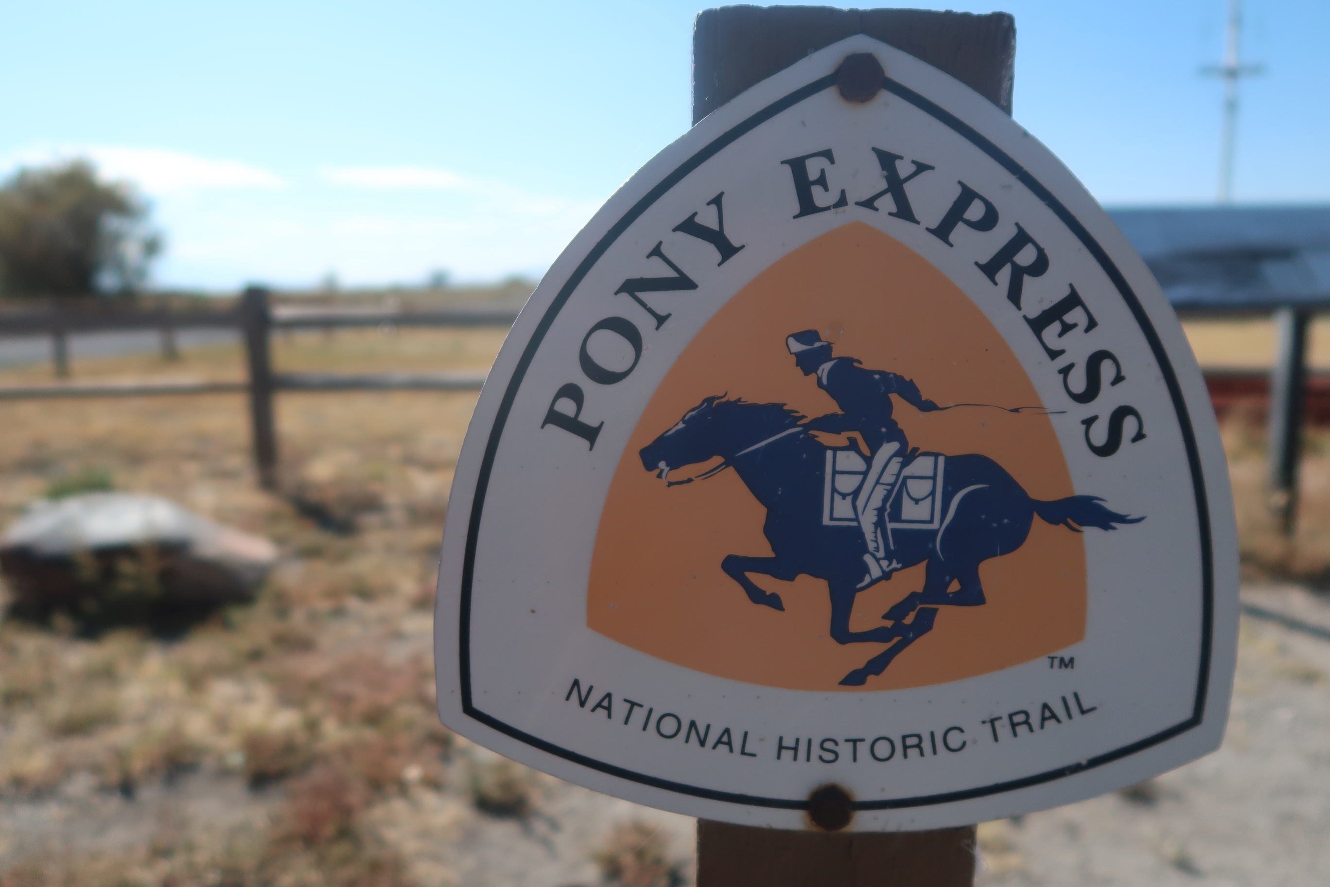
For nearly our entire crossing of Utah, we took the historic Pony Express trail. I couldn’t believe how short lived the Pony Express was – only 18 months. The technology of telegraph that made it obsolete. Knowing this makes me feel not so bad about (practically being forced to) replace my computer every few years.
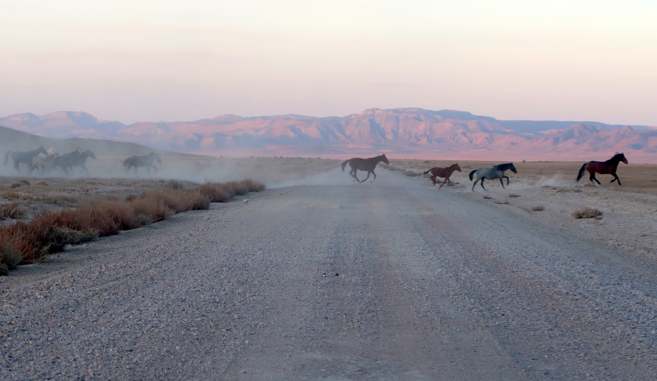
Wild horses – these are in Nevada. Did you know that the BLM actually manages the wild horse herds? You can even adopt a wild horse: https://www.blm.gov/programs/wild-horse-and-burro/adoptions-and-sales
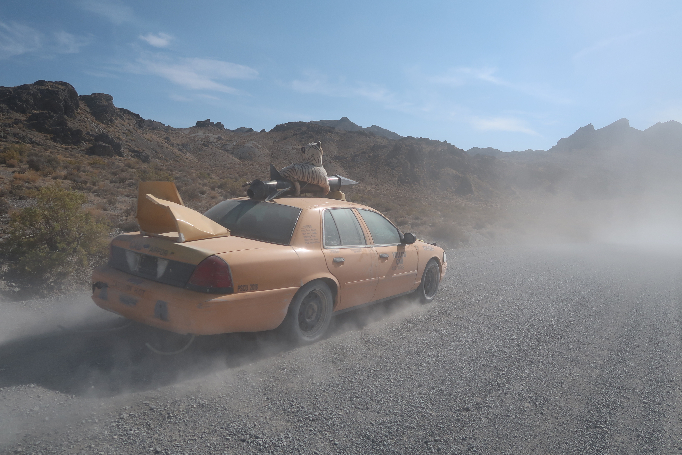
I don’t always get passed by cars, But when I do, they have a missile and plush tiger on the roof. [reference to “the most interesting man in the world” Dos Equis commercials]
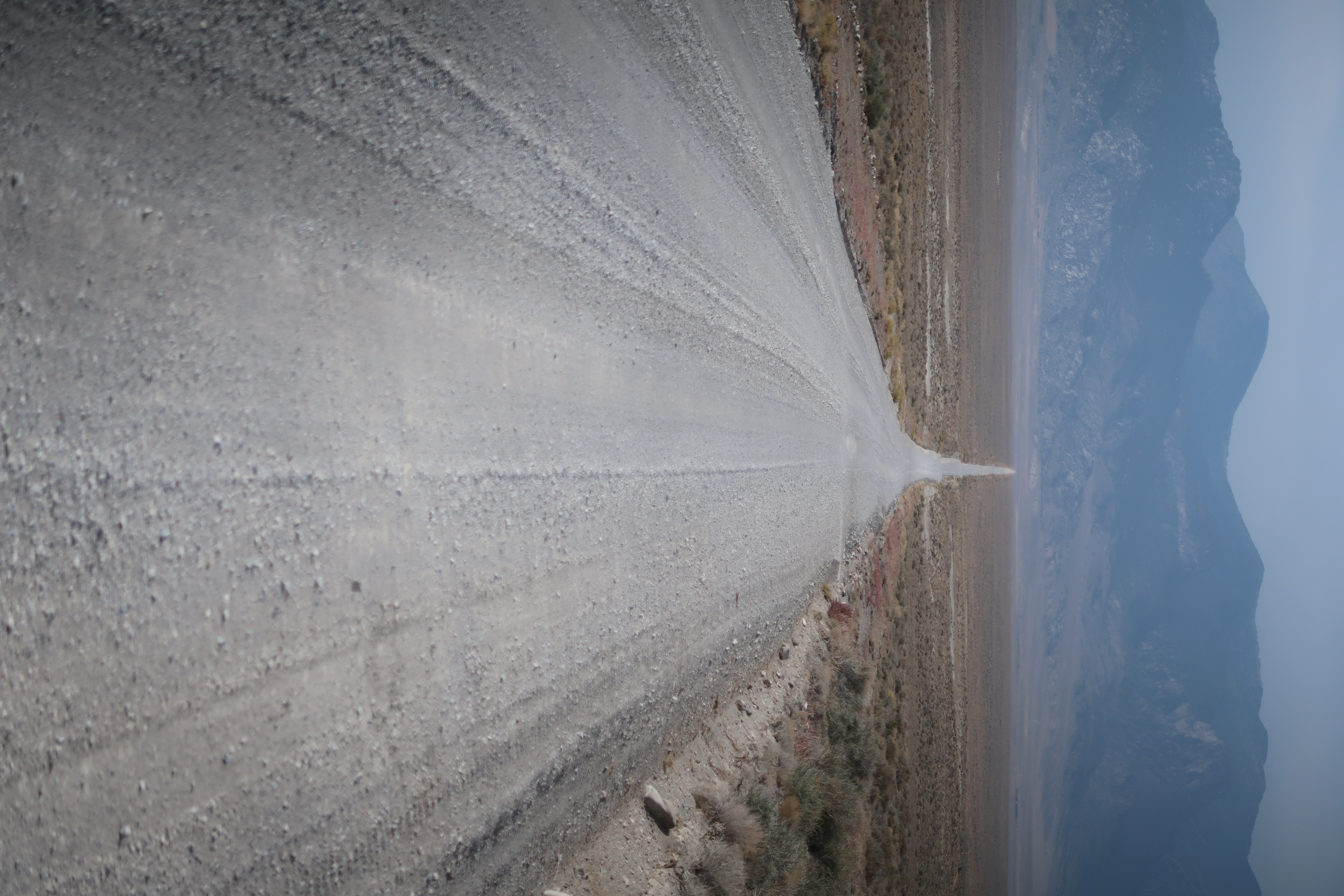
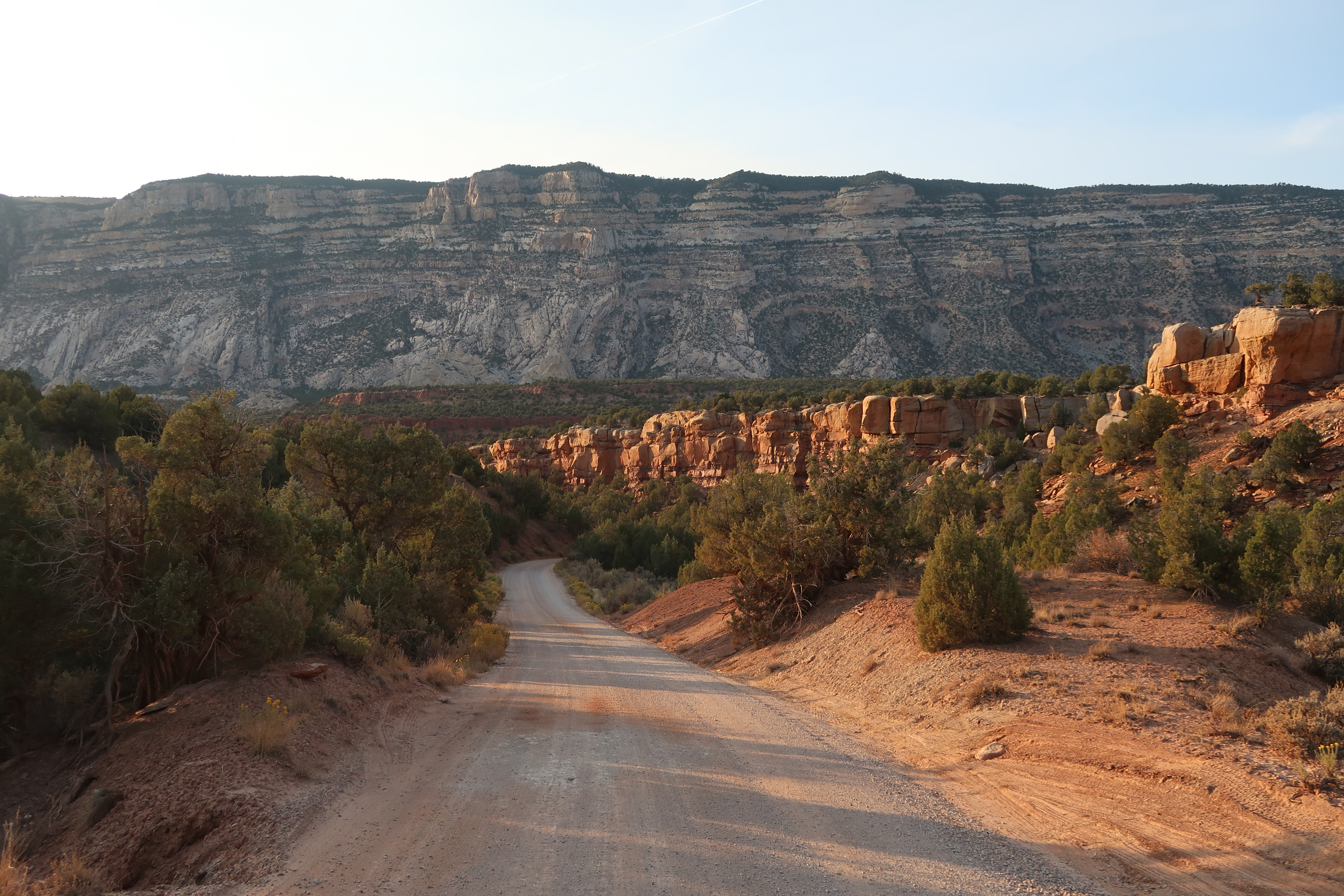
We saw a lot of long, straight roads. Not sure why I like this sort of stuff, but I do.
Map
Complete Route Map for Wandering the West Bikepack trip
This is the map for the entire route discussed in this post. To Export GPX files, click on the three horizontal bars in the upper right hand corner of the map and select Export selected map data... To see full screen, click here (opens in new window)