Bikepacking So-Cal Roadie Style
Janet and I wanted to ride our bikes to her nephew’s wedding in Phoenix, AZ, so I spent some time studying the maps to find a creative, quiet, and almost entirely paved route into the desert. We wanted to ride road because we did not have a lot of time for this trip. For the most part, the route detailed on these pages was VERY enjoyable – and most sections were quiet or had a low volume of vehicle traffic. Our enjoyment of the trip was aided by the fact that we had nearly perfect weather (including winds) for all 11 days. This was one of my favorite tours – (though I often say that about which ever was my most recent). Of course it helps that at the end, we were able to relax, help set up the wedding and see family.
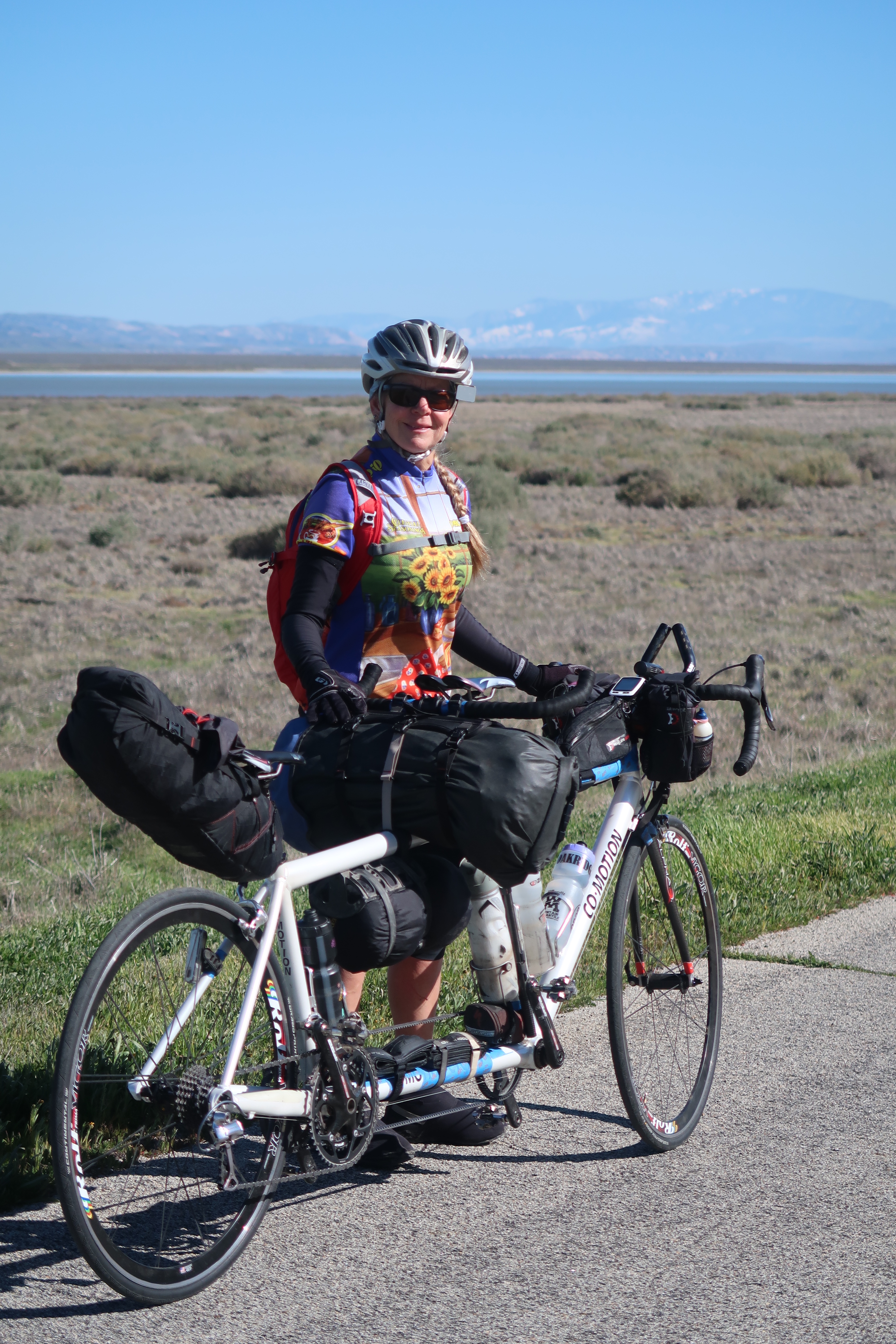
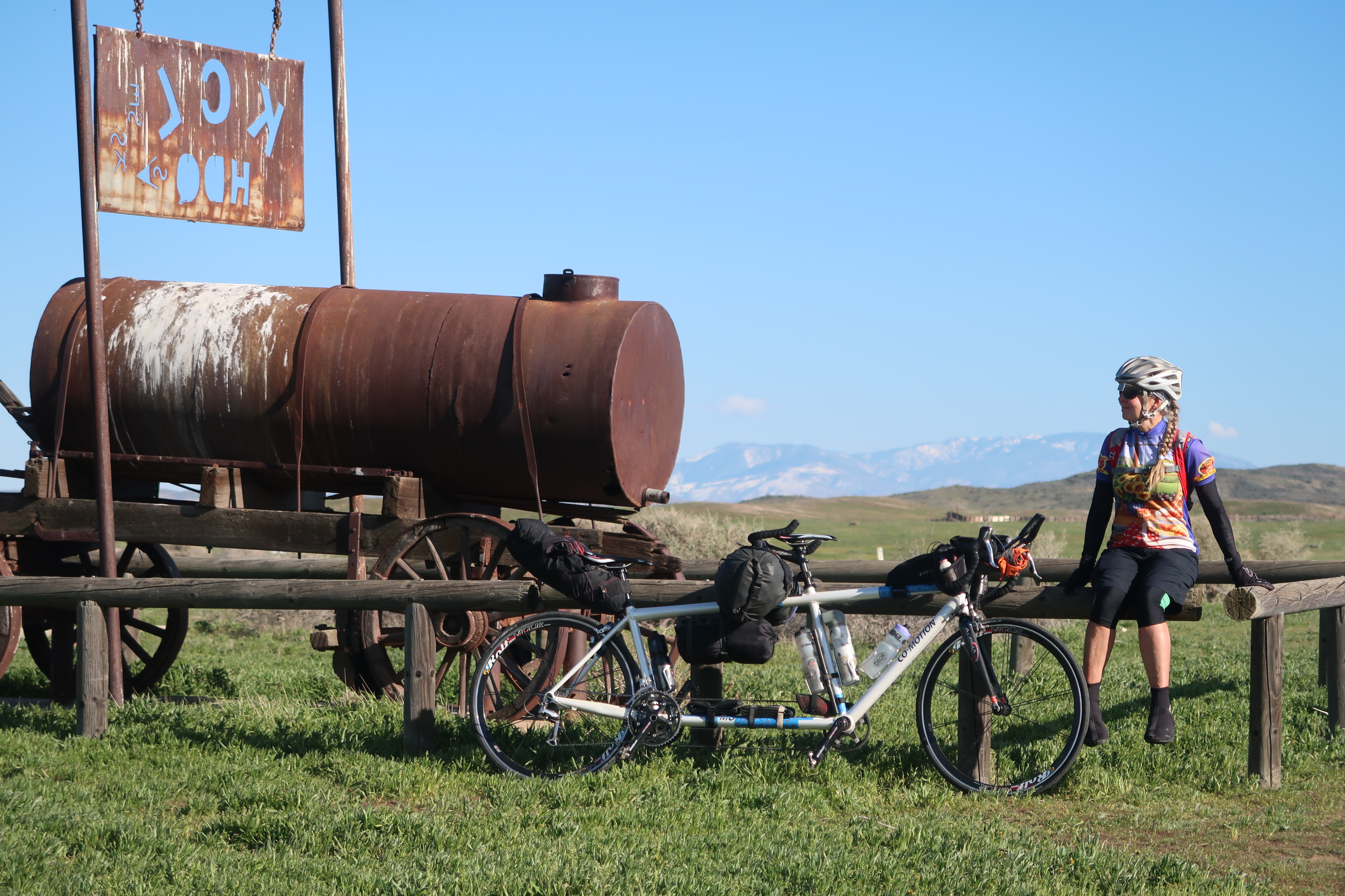
2019 Was a particularly wet and snowy winter in California. Here is Janet in the Carrizo Plains on our Co-Motion Macchiato tandem.
There is a free campground called KCL camp out in the Carrizo. You can see it on our GPS track because I went in-and-out looking for water (but it was turned off). We were having such a good day with strong tailwinds that we kept going and didn’t camp here.
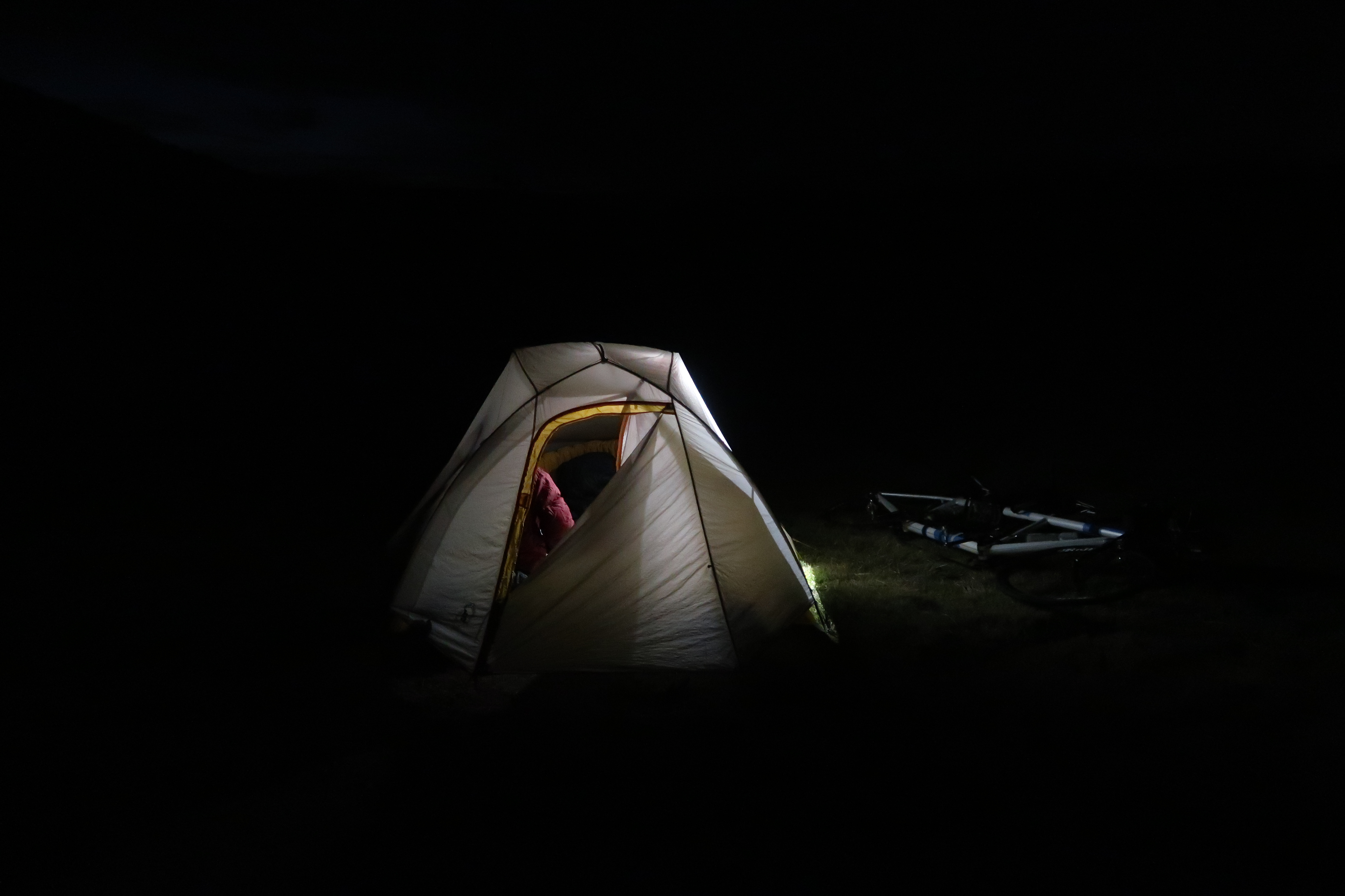
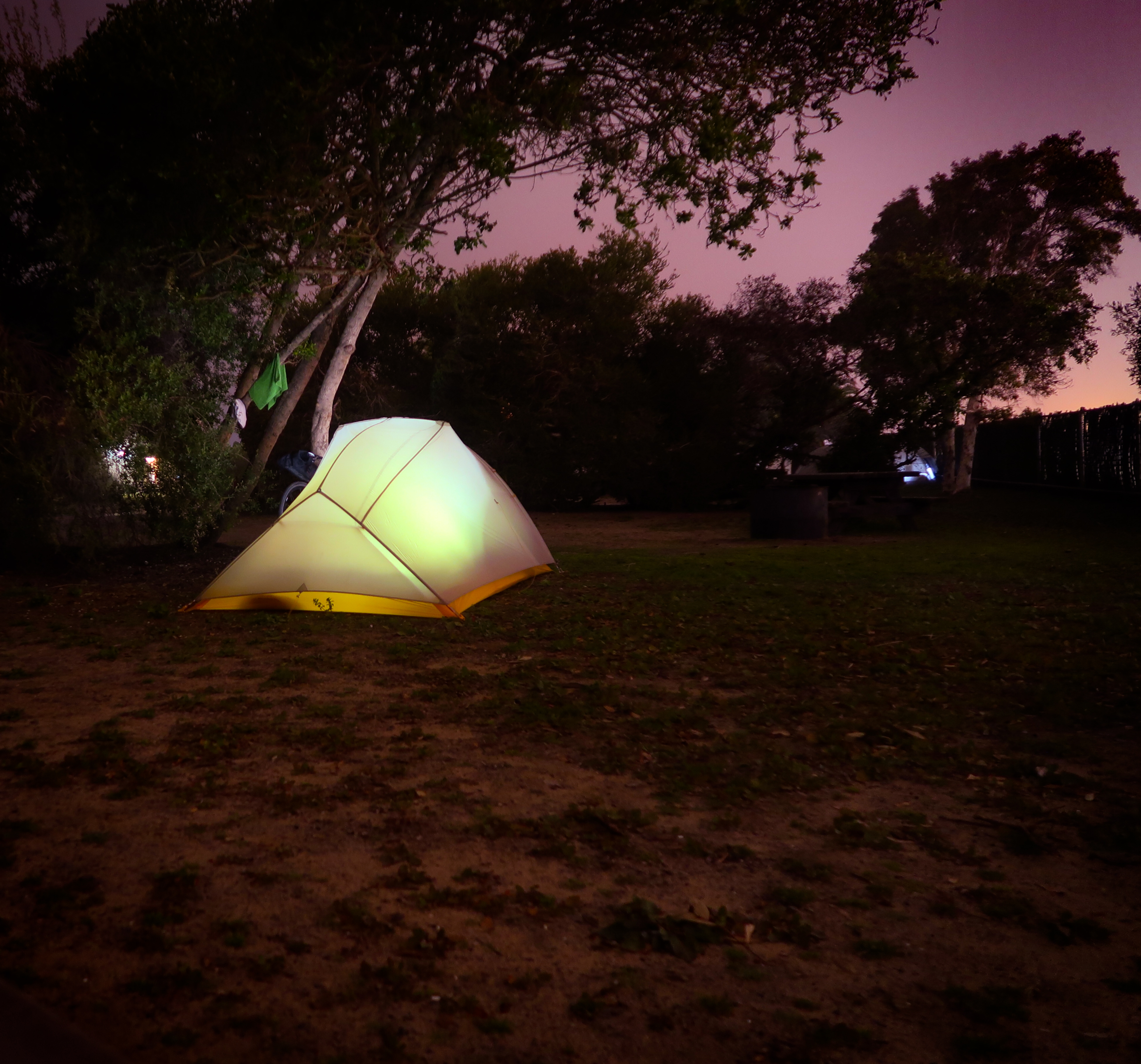
Our tent at our roadside camp.
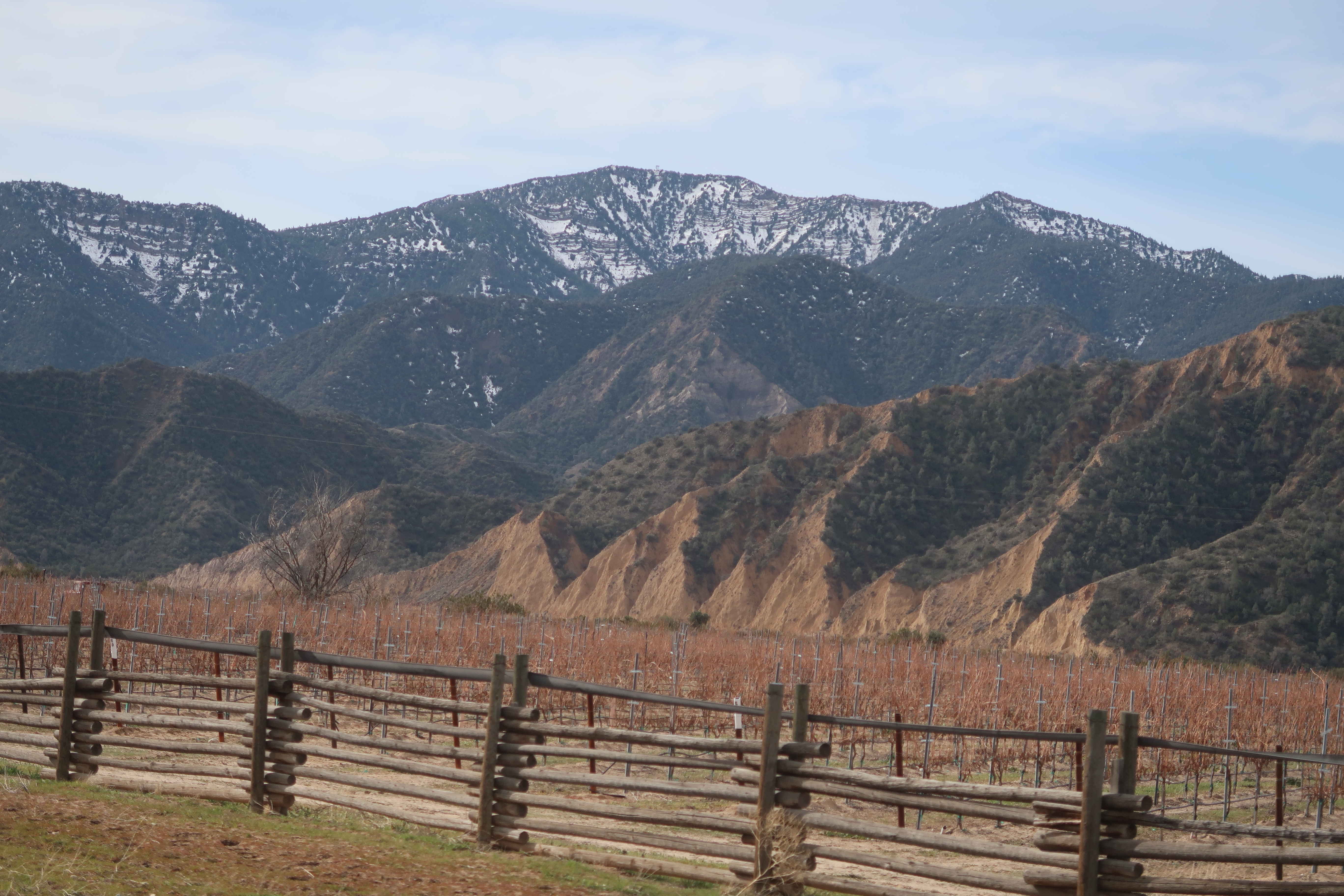
HWY near Ojai is one of my favorite cycling roads near the central coast! It is beautiful and low traffic.
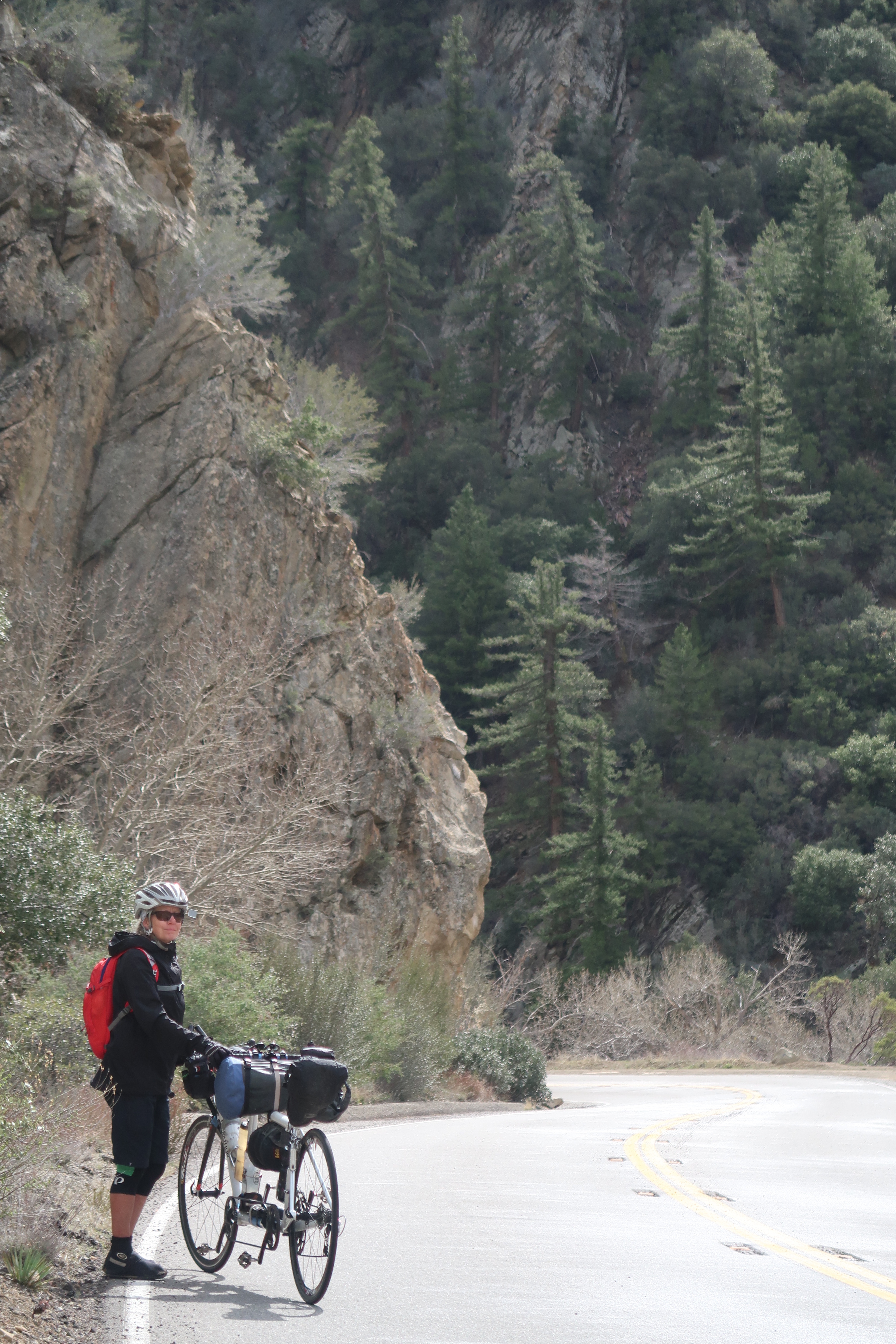
More HWY 33.
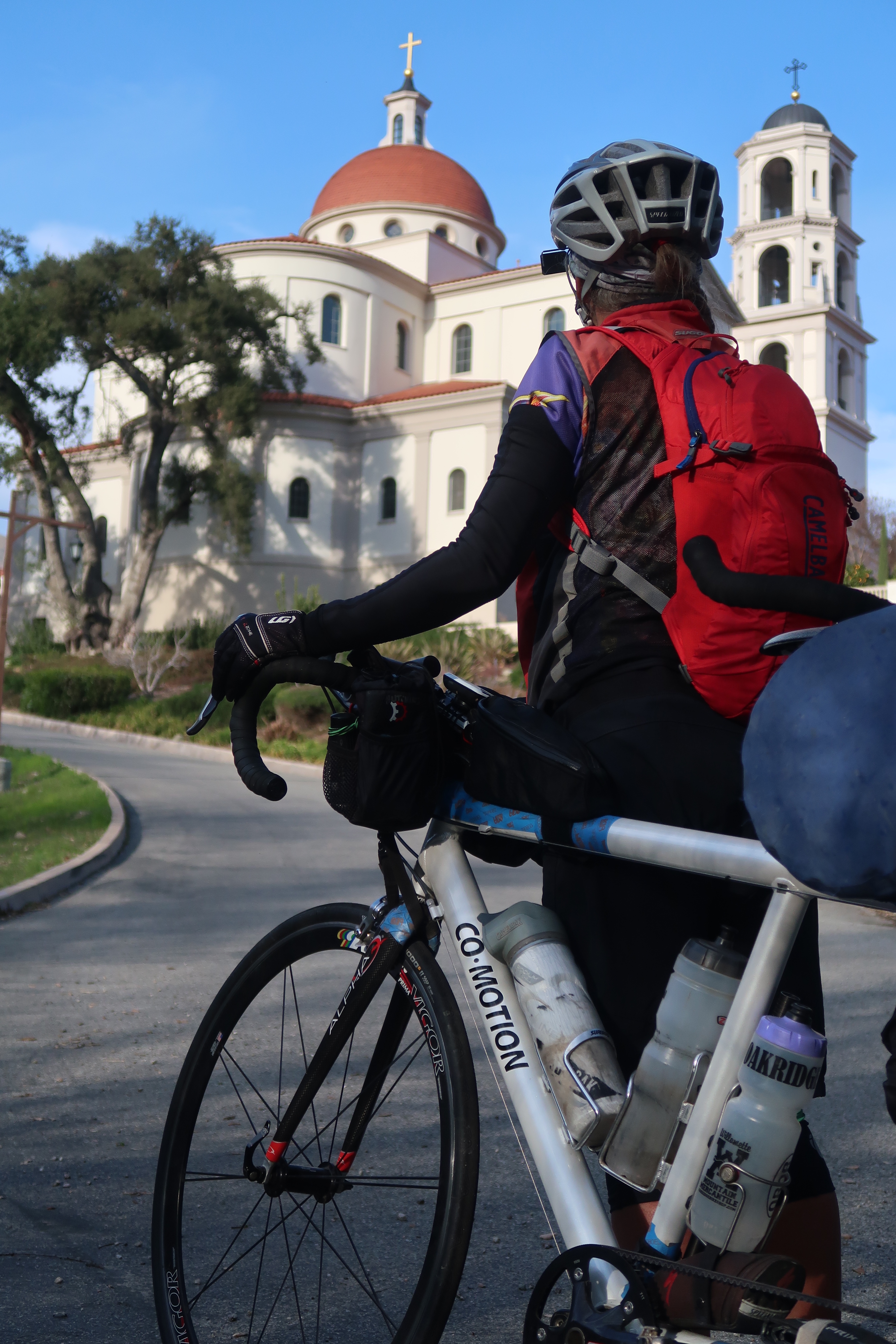
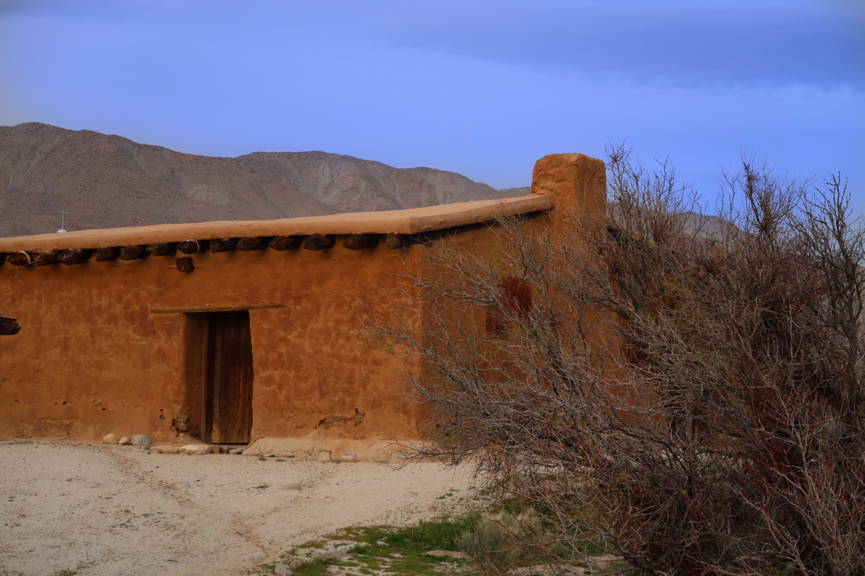
At first we thought this was a mission, but actually it was San Thomas Aquinas College.
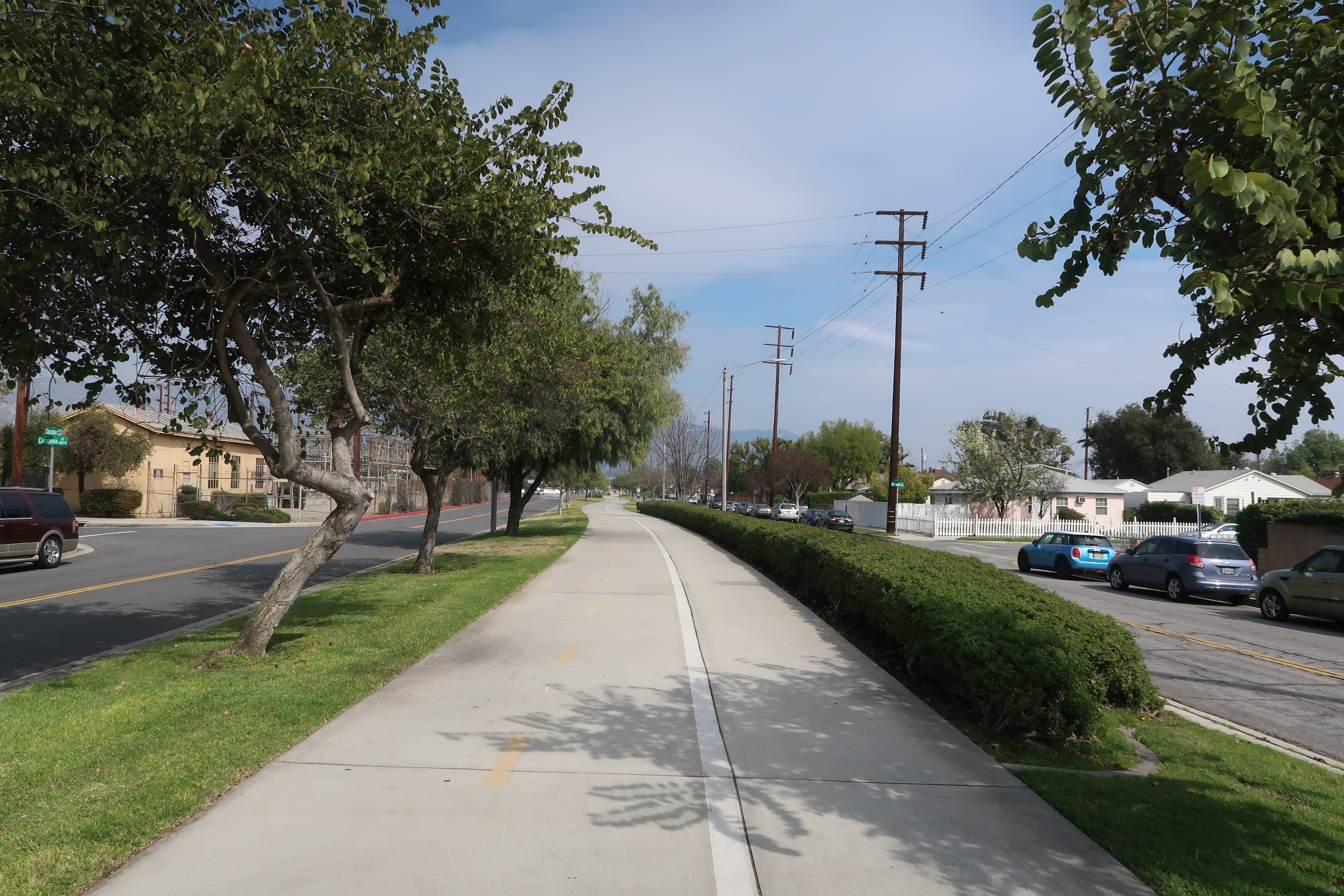
We have been finding lots of bike paths in Los Angeles making it easy for us to cross the big city. You will see that we intentionally went into LA just to enjoy the paths. I have already ridden the official coast route quite a bit, so this was a nice way to make a new diversion. This is the Orange Line Bike Path.
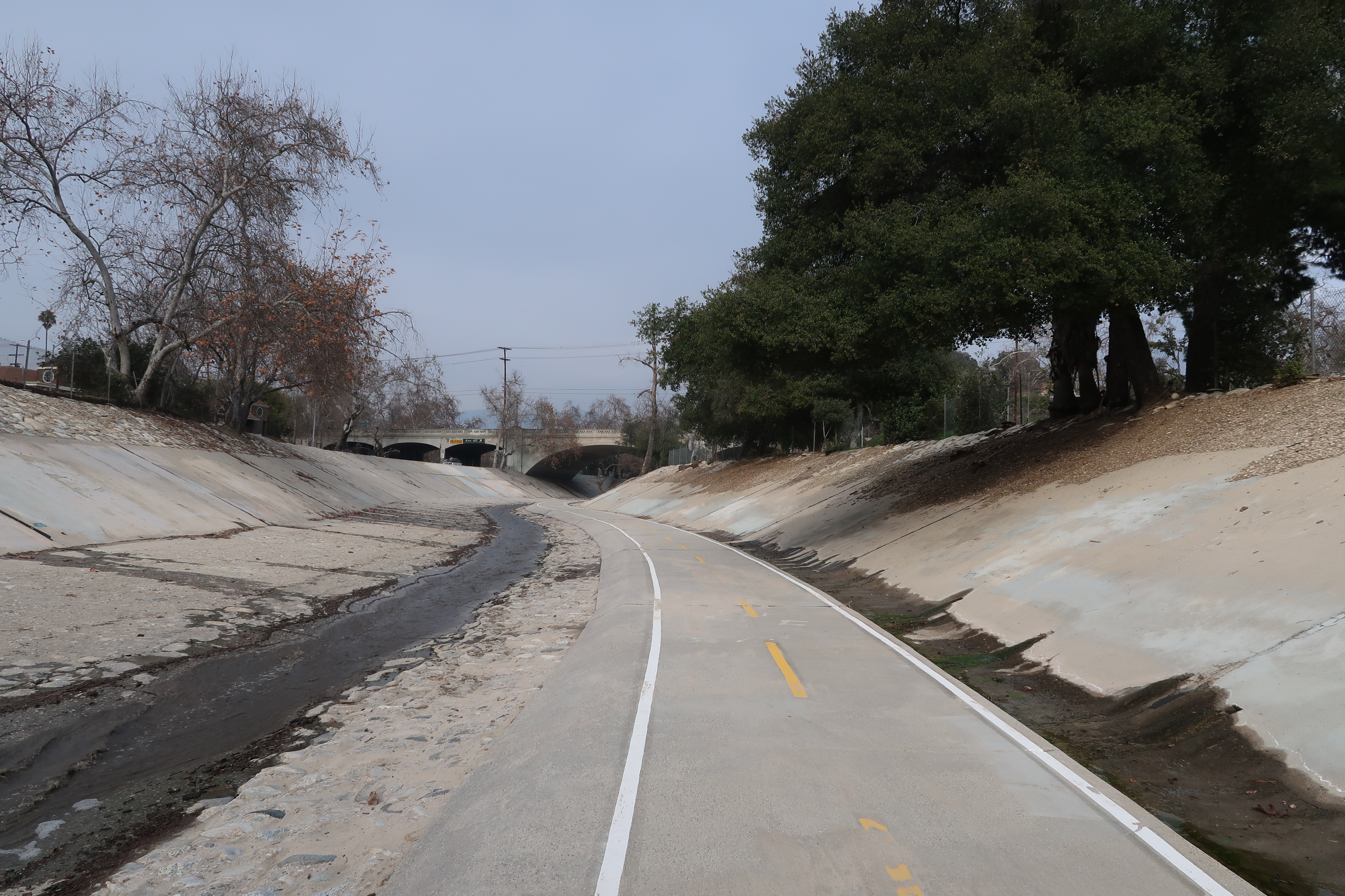
This is the Arroyo Seco bike path – one of 5 paths we connected to traverse the Greater Los Angeles Metropolitan Area.
After Los Angeles, we took as many bike paths as possible. Normally, we used to ride our bikes through Camp Pendelton – but you are now required to get a free permit. The problem is that the permit station is only on the South side of the base. So, if you’re coming from the North on a bicycle, you’re simply not allowed in – and you will need to ride the freeway like we did.
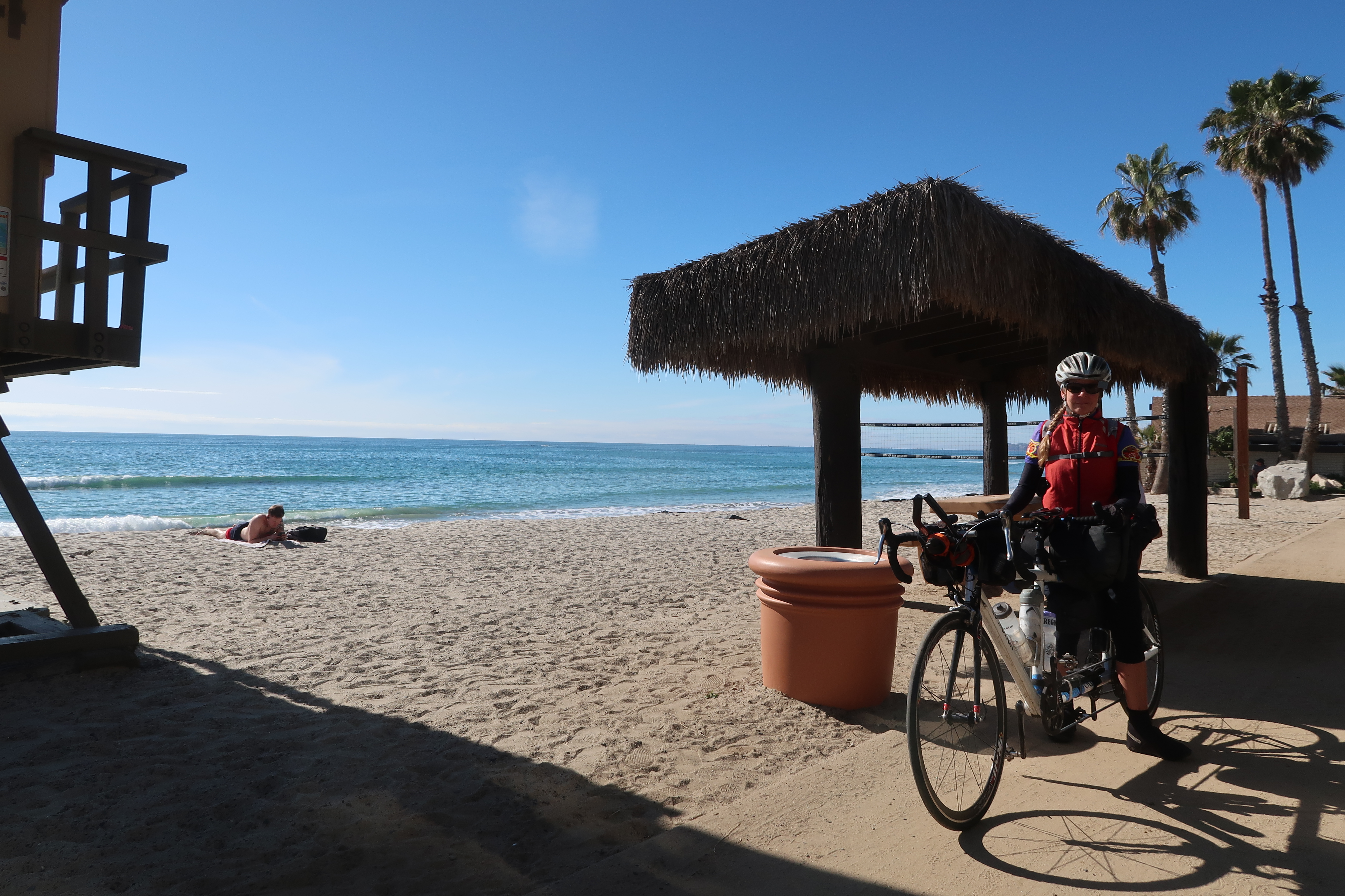
Camped at San Elijo State beach. Yes, you are allowed to camp here as a hiker biker for just $5 (and they have showers)… but it is a terrible place to get any rest with the train just a couple hundred feet from your tent.
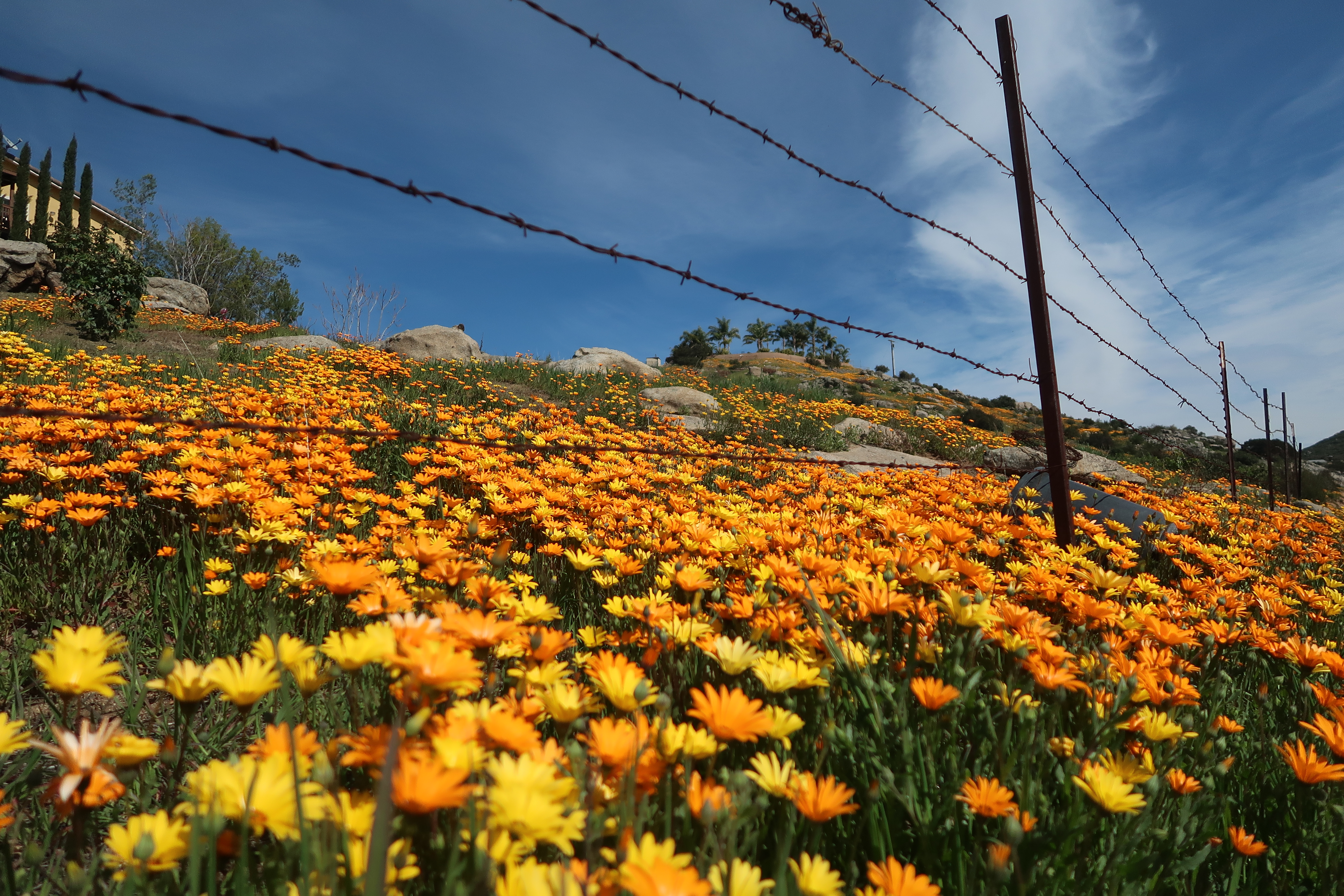
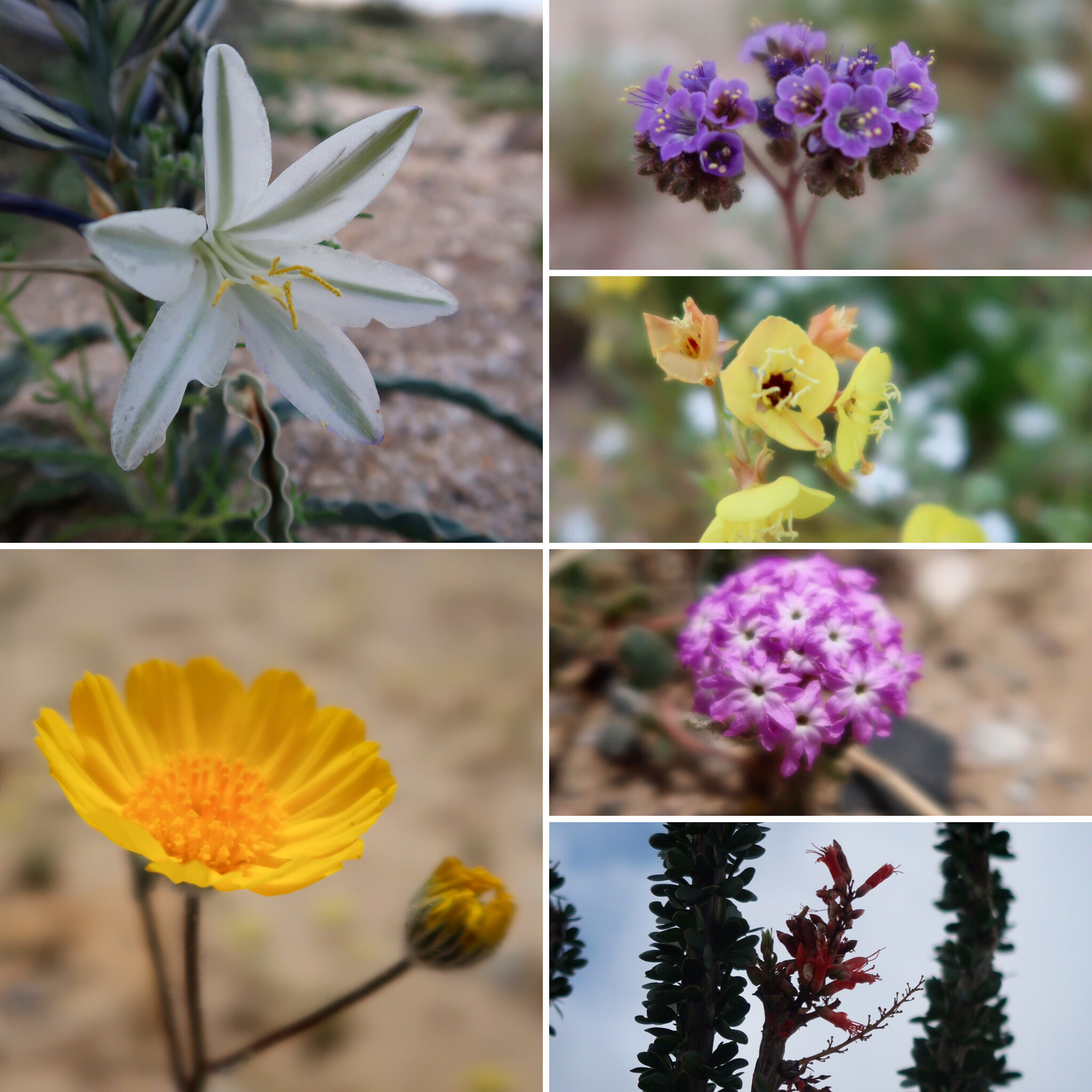
Climbing up towards Ramona we took as many bike paths as possible. Eventually, the paths ended and we did have to ride a busy road for a short distance. This was an epic year for wildflowers, as you can see.
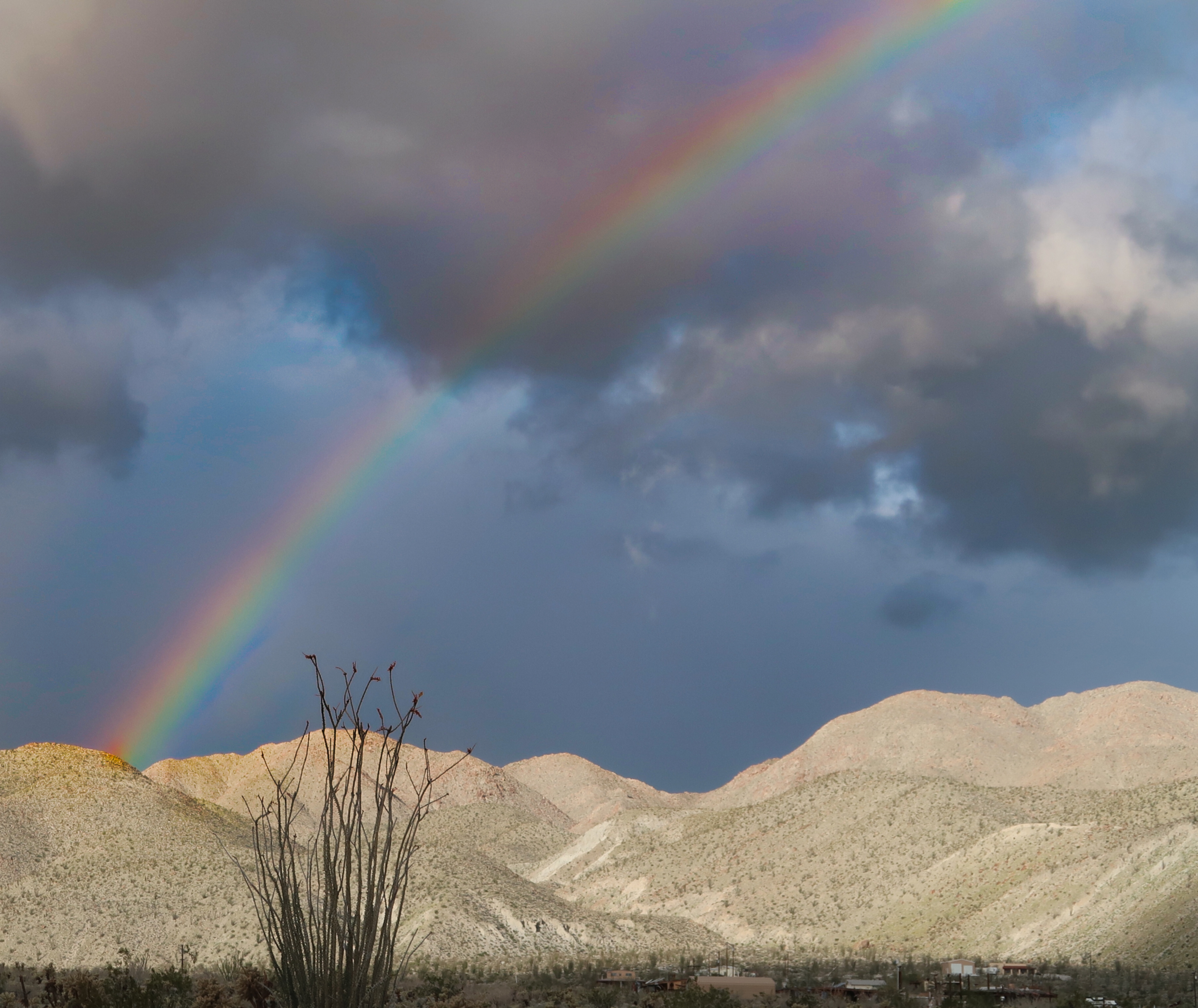
Janet and I “threaded the needle” between not one, but TWO storms on this trip. In fact, we pretty much avoided rain all together in spite of two large storms coming into Southern California back-to-back during the journey. It was mostly luck, but we did try to time/plan our route around the incoming weather.
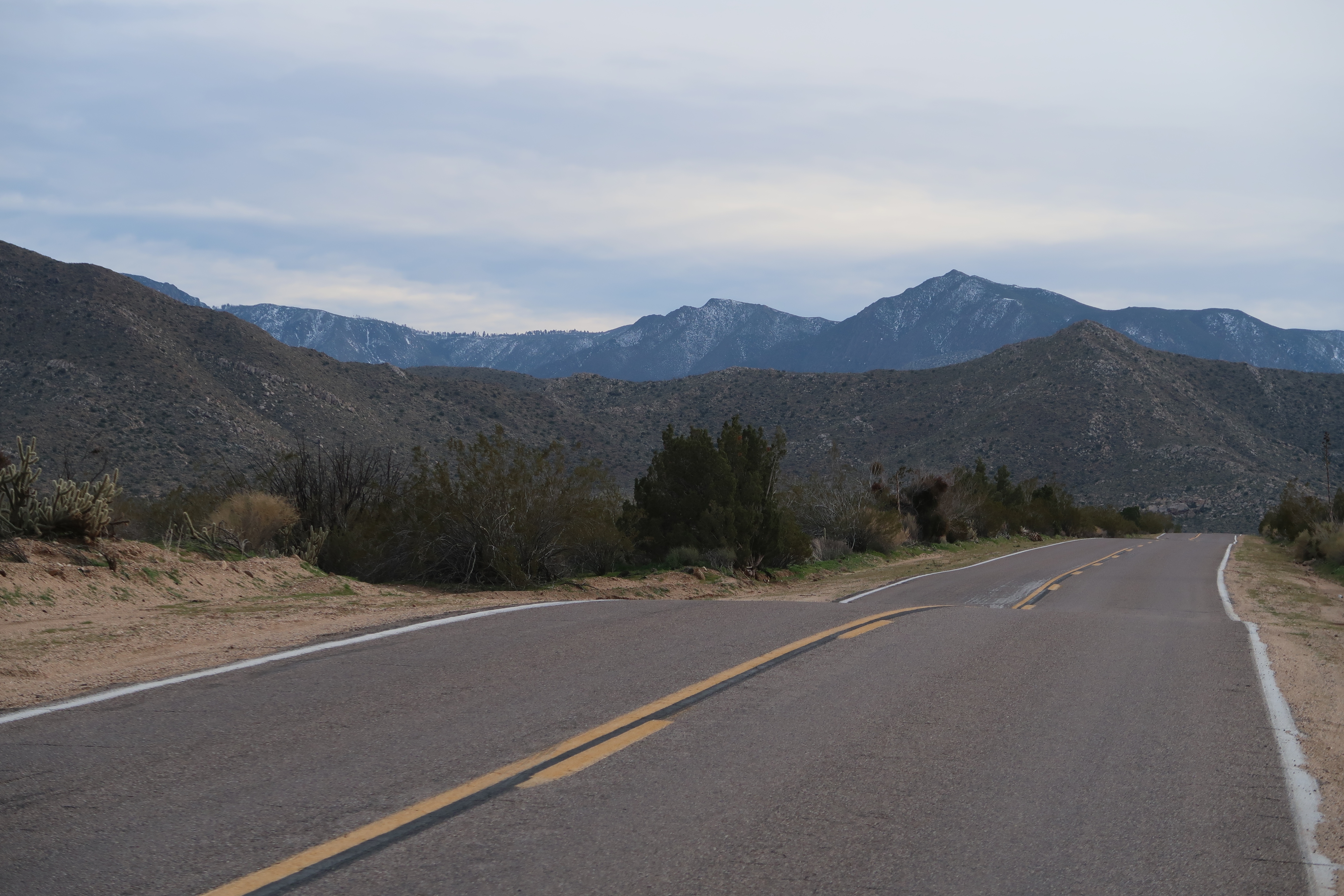
There is a road called “Wynola Road” that goes around Julian that we really enjoyed. Everything after that was great, quiet roads!
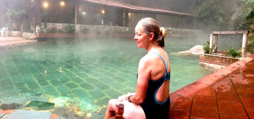
This is at Vallecito Park, which is near Caliente Park. We considered camping here: it looked to be much more tranquil (no one was there)… but we were interested in visiting the hot springs at Caliente. we decided to continue riding a few miles more to the East.
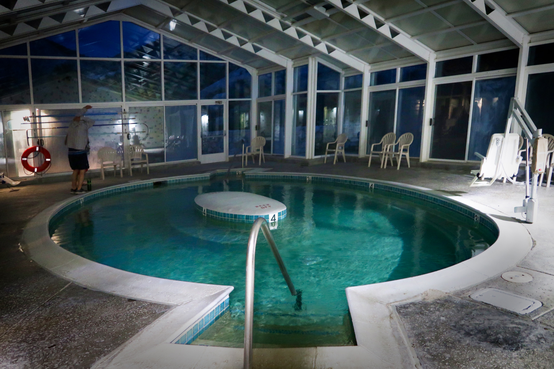
Overall, we were glad that we went to Caliente Springs East of Julian. However, the springs are more like a heated swimming pool than a natural hot spring. In the enclosed area, you can smell chlorine. If you’re looking for a more tranquil campsite without the hot springs, you may want to go to Vallecitos. Both campgrounds are relatively expensive for bike packers, but Vallecitos is cheaper – but Caliente camp, while crowded, does include the spring admission fee. With all the campers, I was surprised that very few people were in the hot spring.
Along the Great Overland Southern Stage Route.
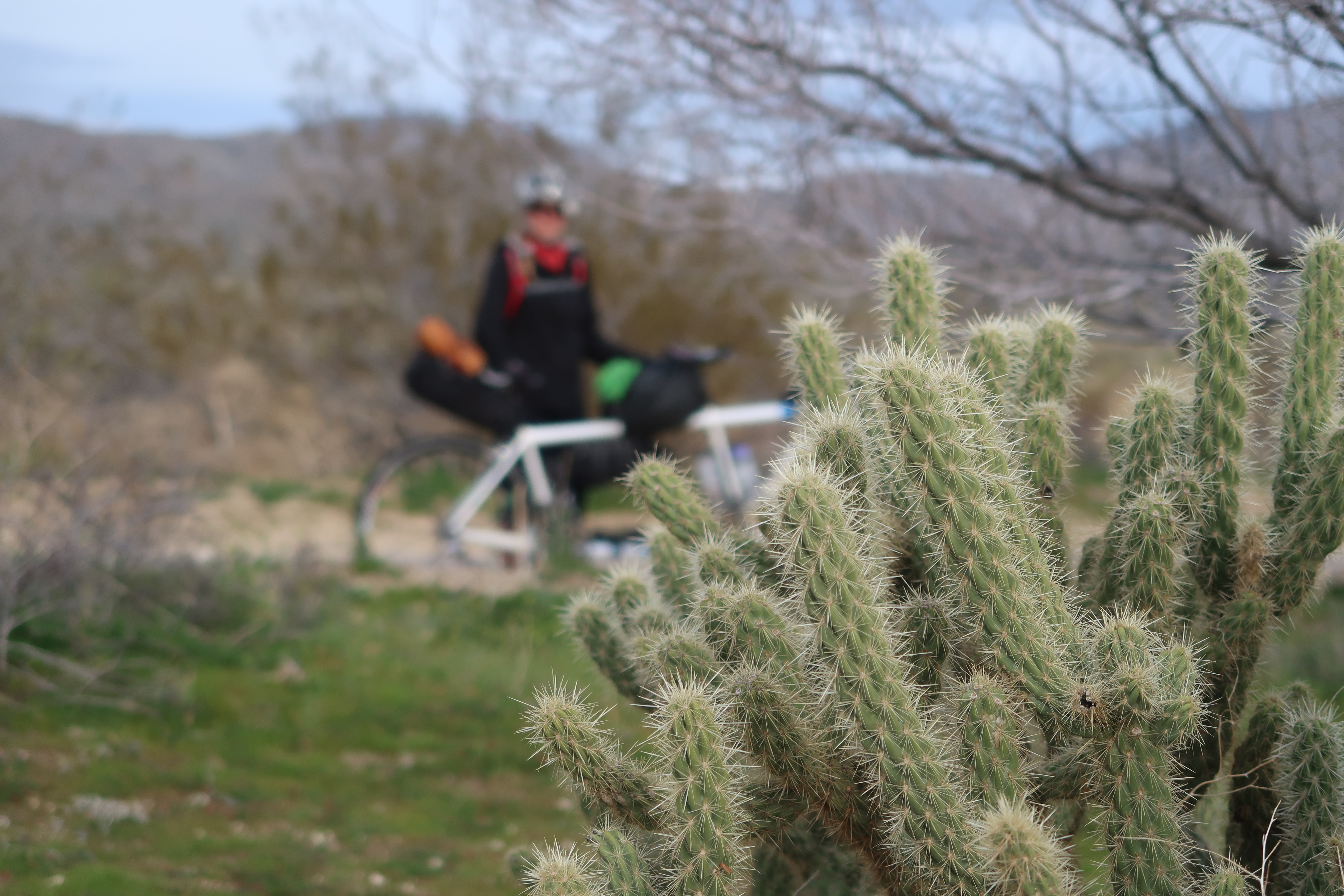
Janet and I wanted to ride from Southern California to Arizona, but we noticed that it isn’t easy to find quiet roads in the very Southern part of the USA. Since we still have our Telcel phone cards, and it is free to enter Mexico for 7 days or less, we decided to route via Baja. I have always wanted to see the Northern end of the Sea of Cortez.
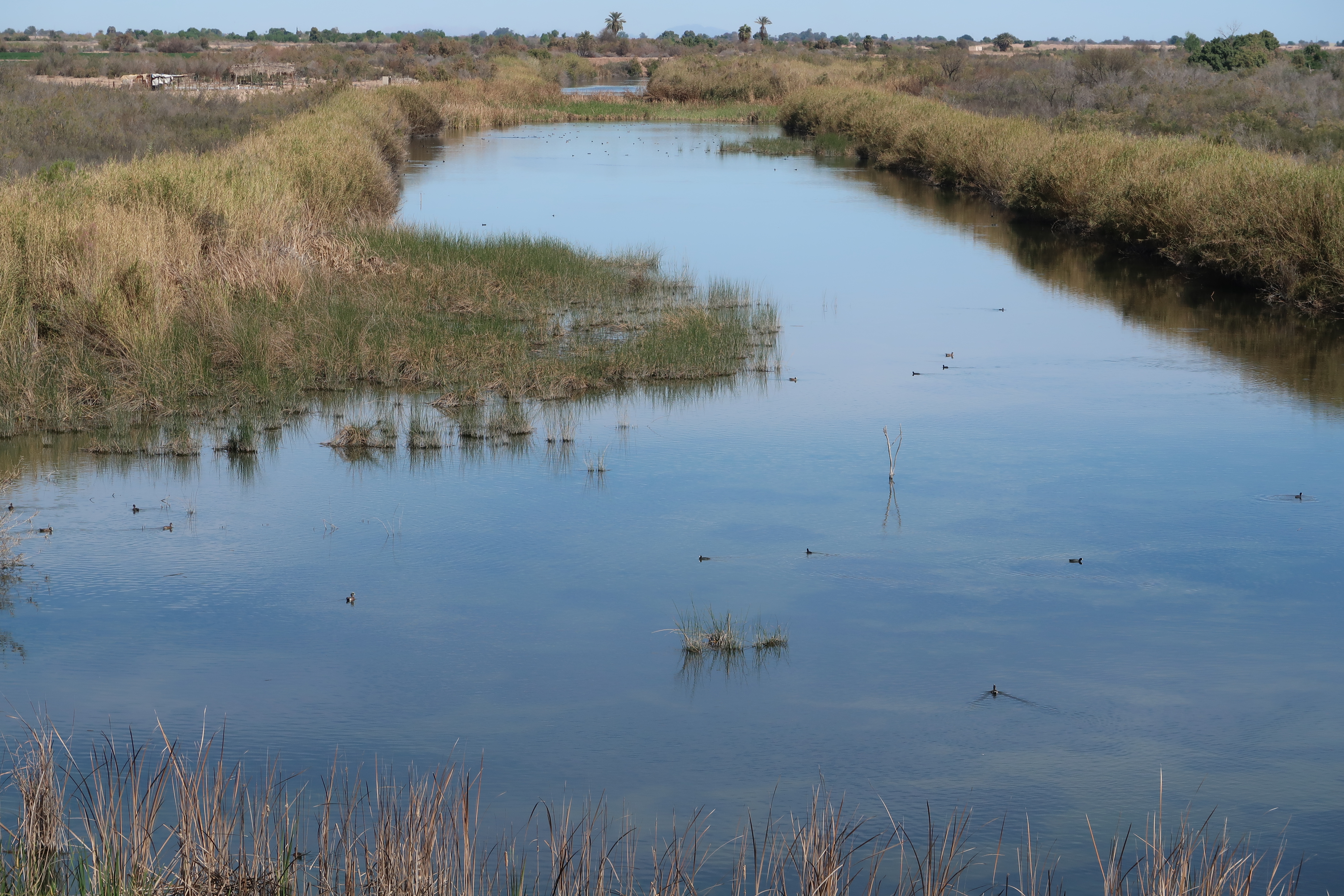
Many people ask me about the Colorado River in Baja. Here it is – about 50 miles before it reaches to Sea of Cortez. There is a story I have heard that the Colorado River no longer makes it to the Gulf of California because Los Ángeles sucks up all the water. I’m not sure that is entirely true given that there is a fair amount of water here.
Some Early glimpses of the Sea of Cortez
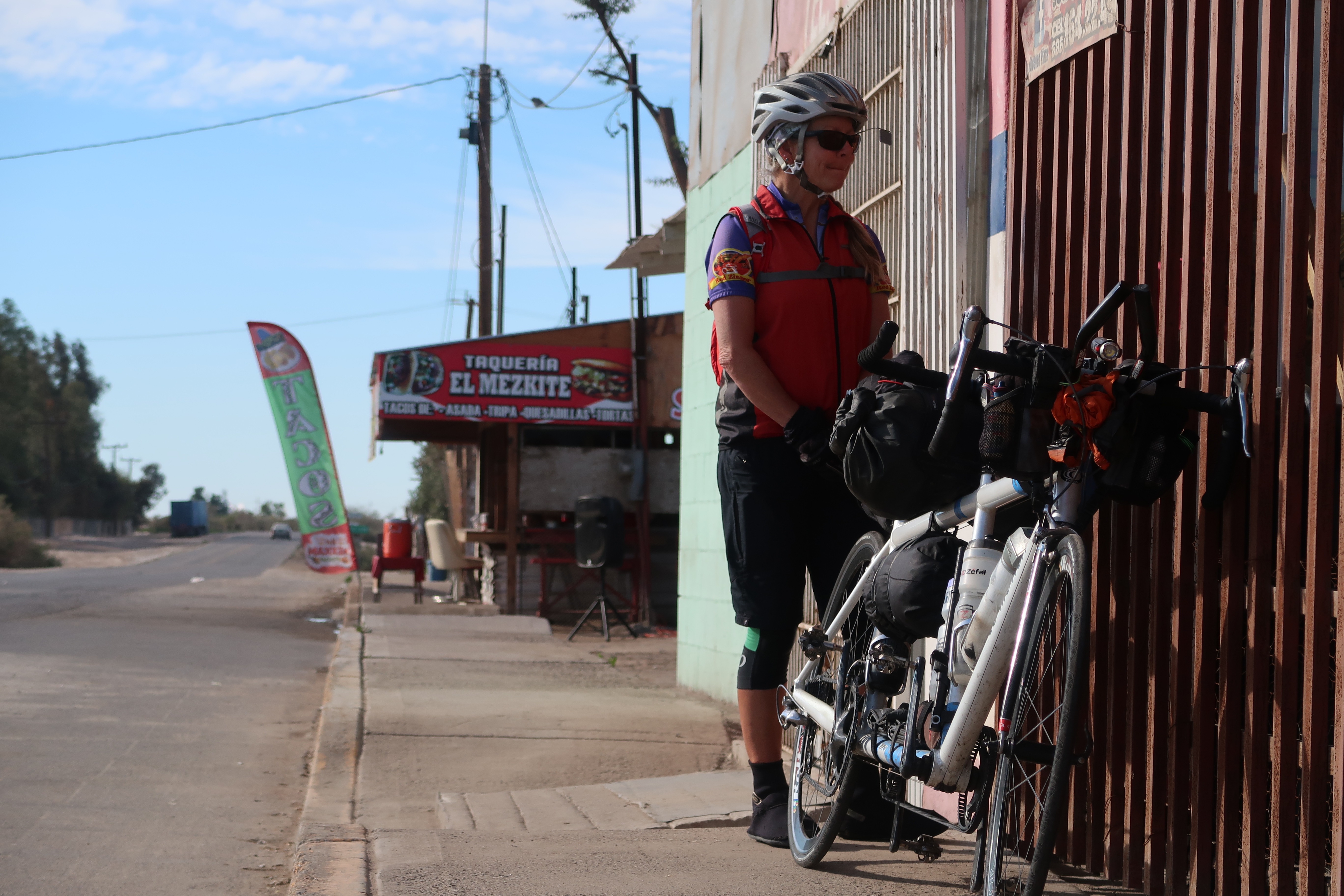
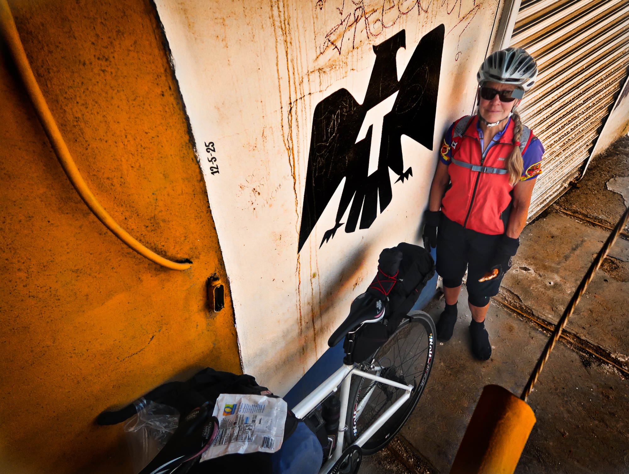
A sight you don’t often see in the US, but somewhat frequent in the North of Mexico.
We got a little lost on the wrong side of the train tracks. We decided to take a break here before hoisting the tándem over the rails. If you had told me a month ago that I would have brought our fragile tandem with 25c tires to Mexico, I wouldn’t have believed you.
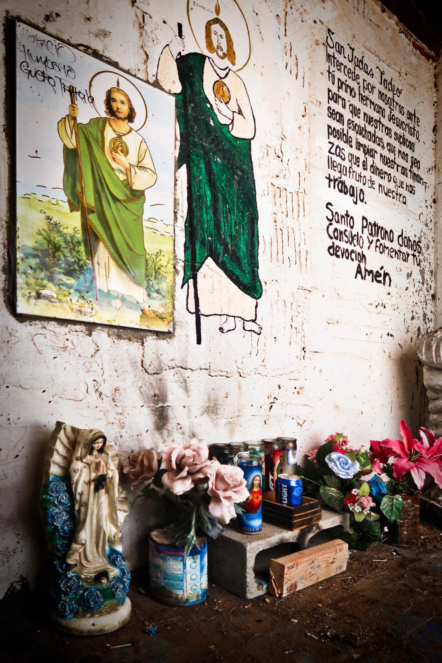
If you look at the centerpiece, you will see a Bud Light. Unopened. The 2×4 in front has been decorated to look like a dollar bill, and the writing on the wall ends with a request “that we are able to clean up our finances and that the money that comes to us is the fruit of our labors…”
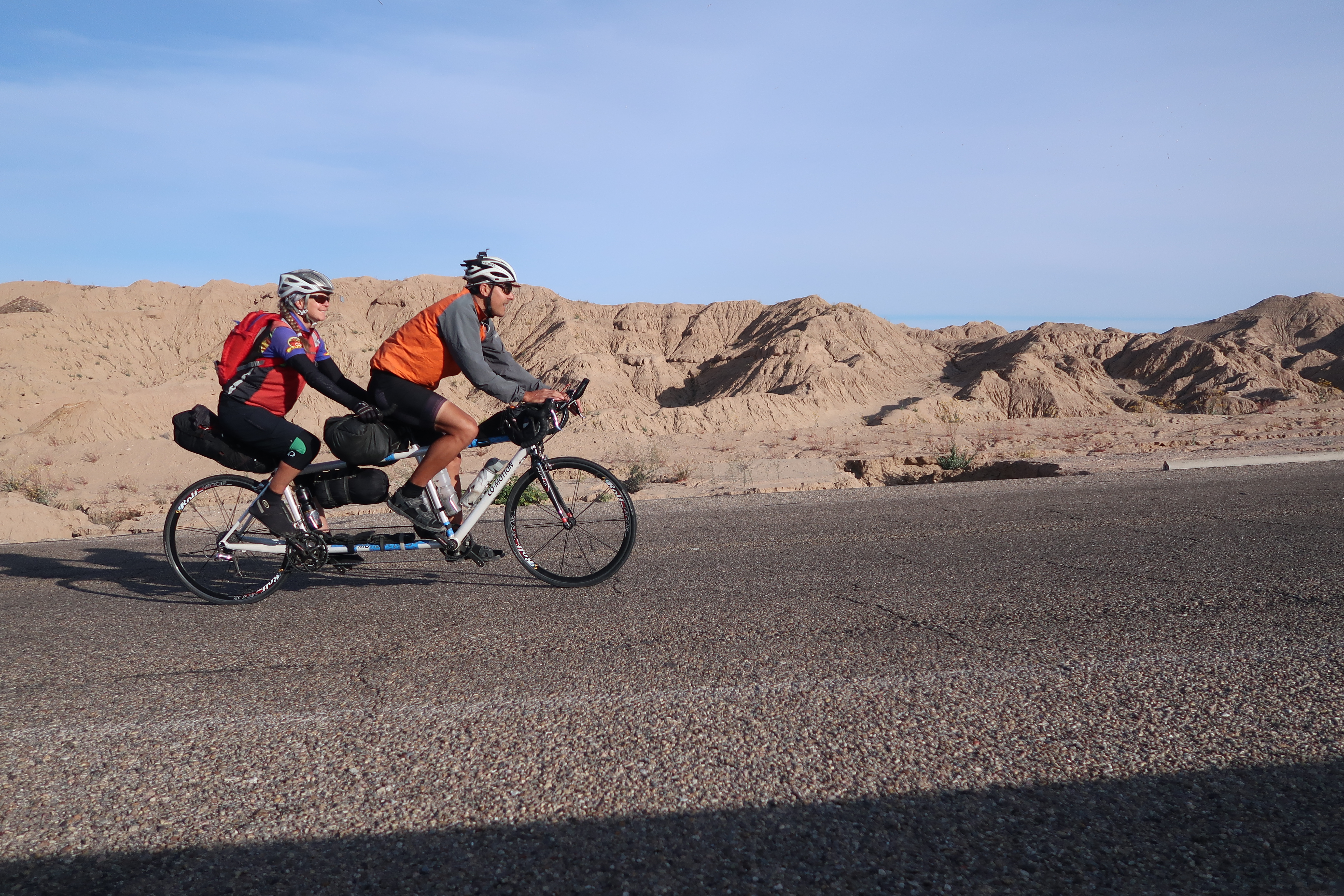
A Selfie taken on the road from Golfo de Santa Clara to Puerto Peñasco. This road was a real winner! One of my favorites with no cars, great views, good pavement, and (tailwinds).
The road from Golfo de Santa Clara to Puerto Peñasco. This road was a real winner! One of my favorites with no cars, great views, good pavement, and (tailwinds).
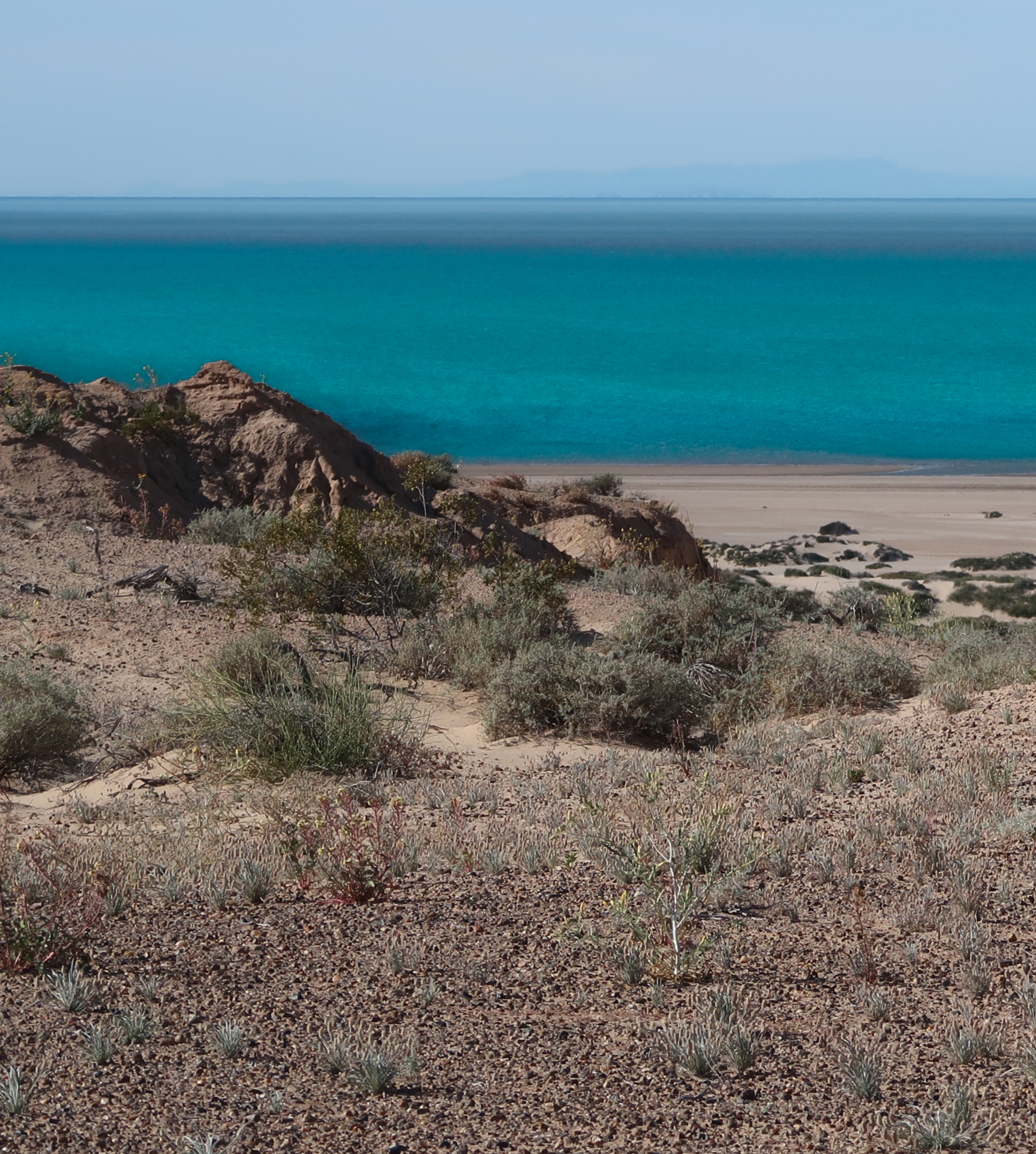
Views of Sea of Cortez
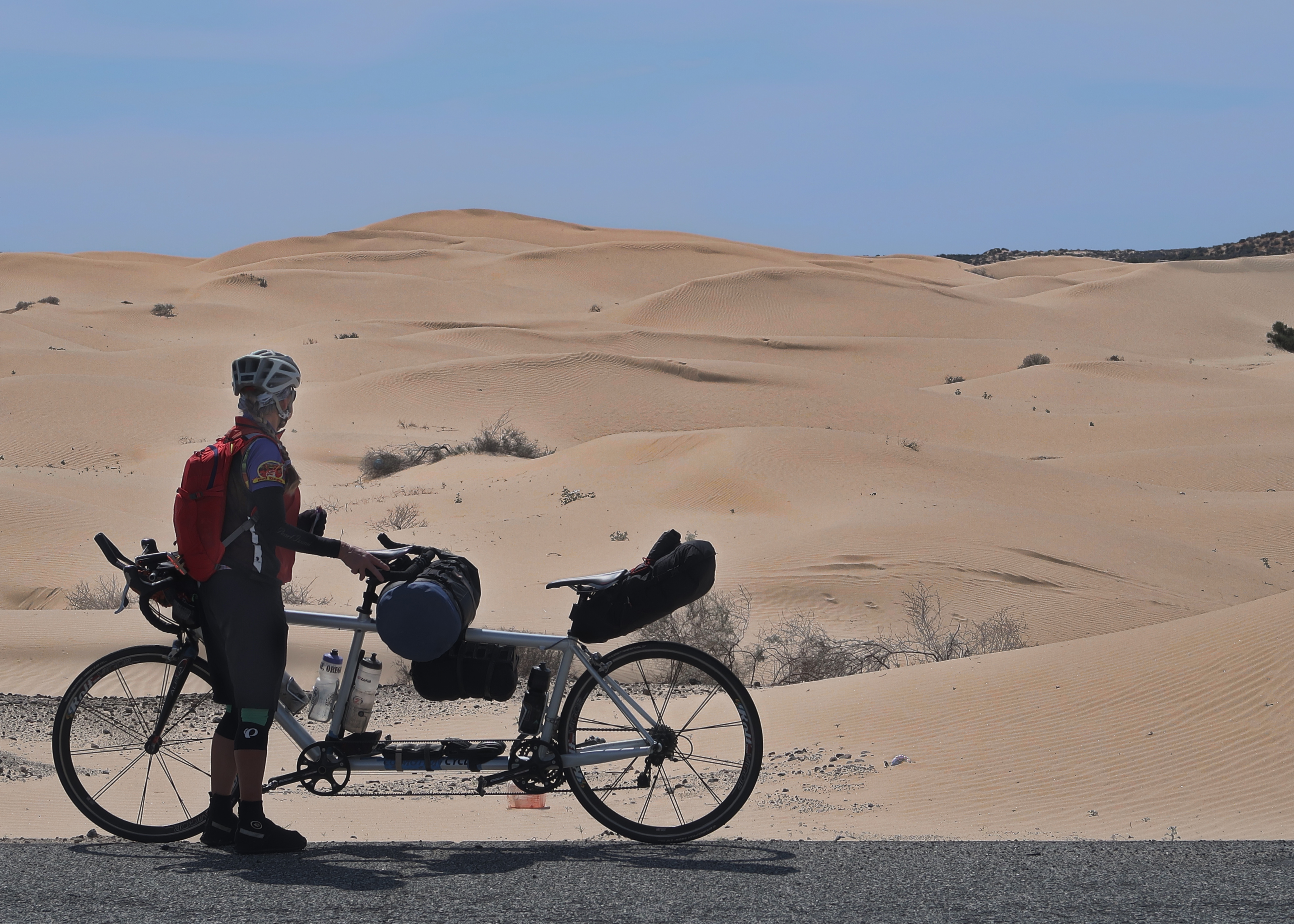
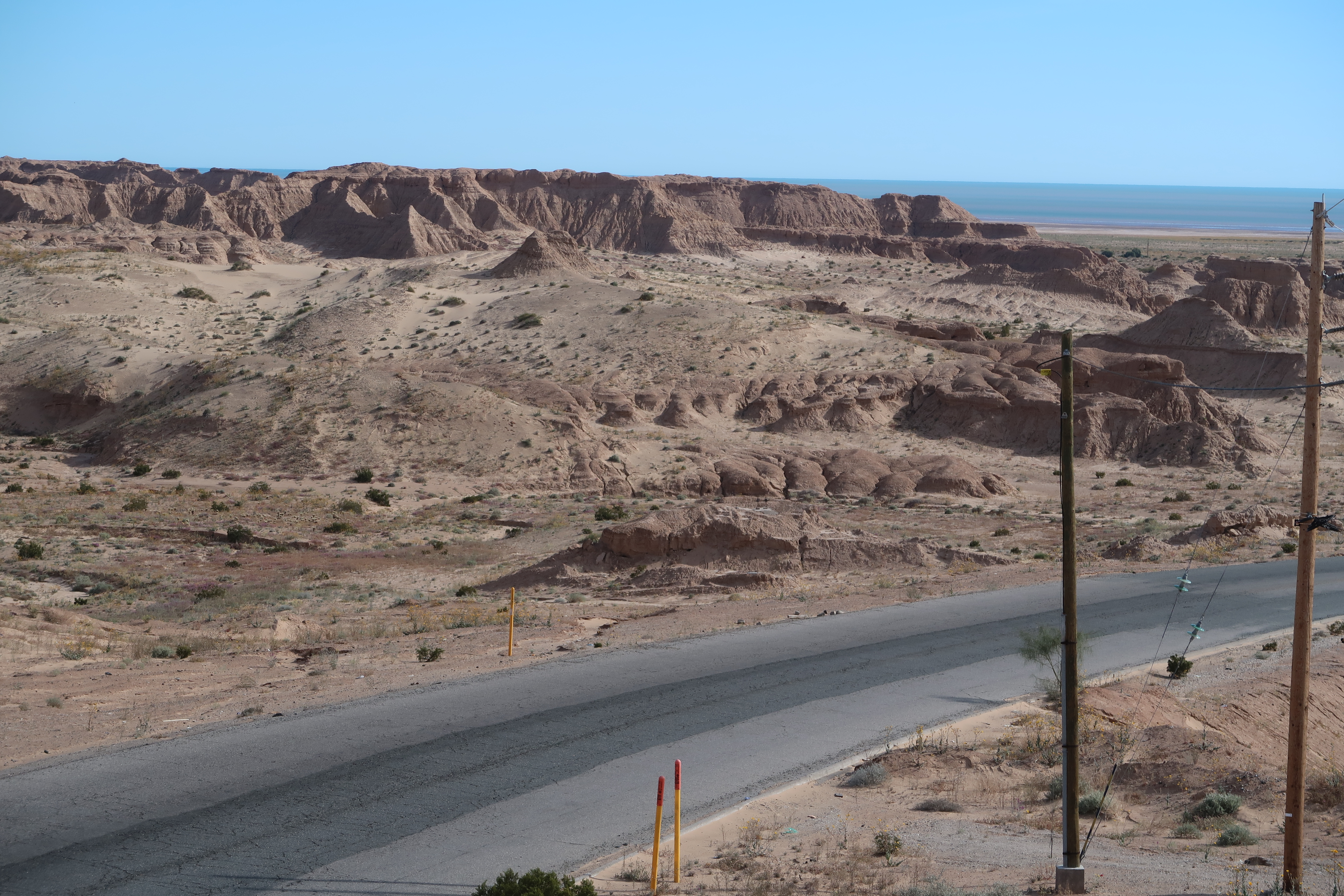
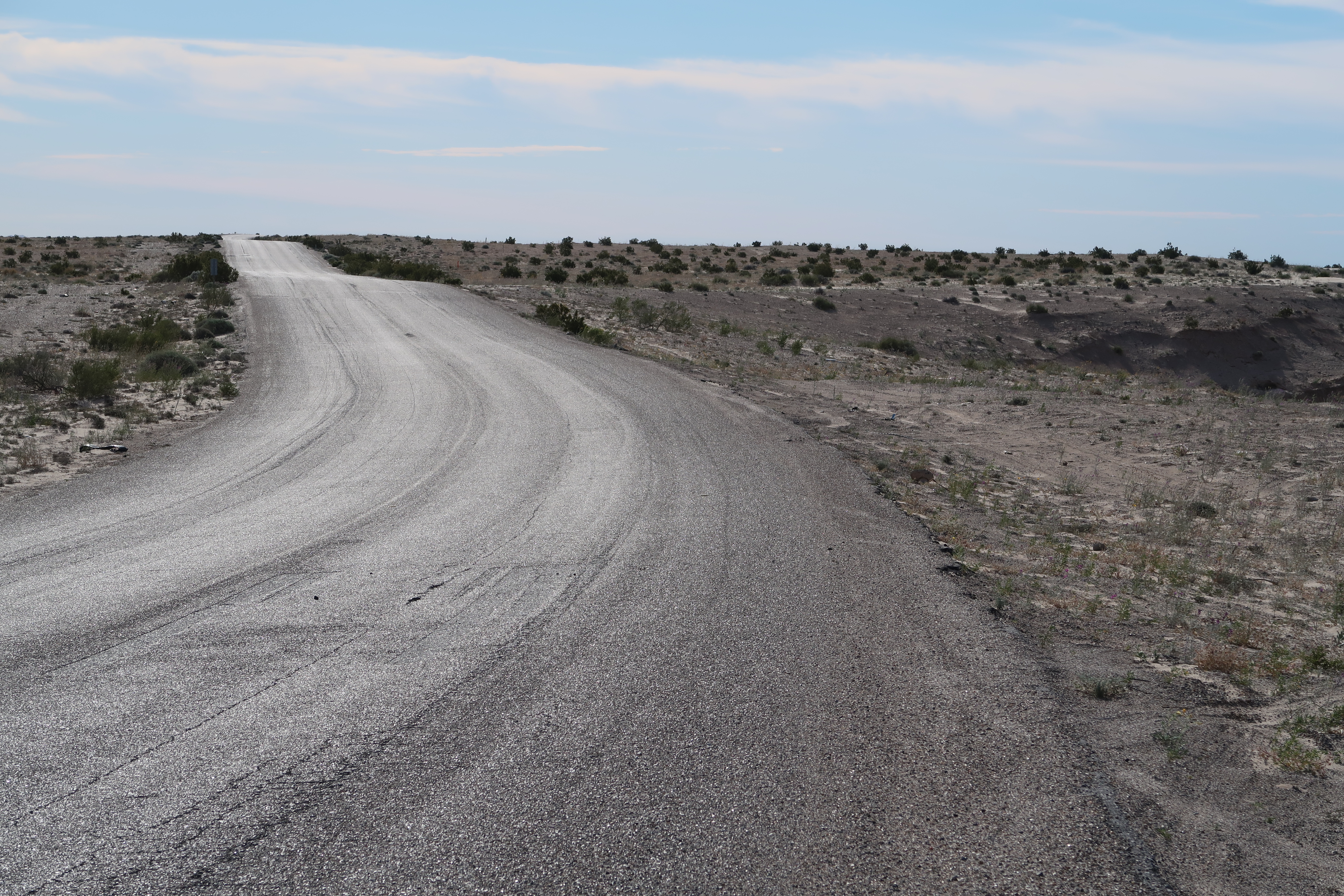
Lots of sand dunes along our route into Puerto Peñasco.
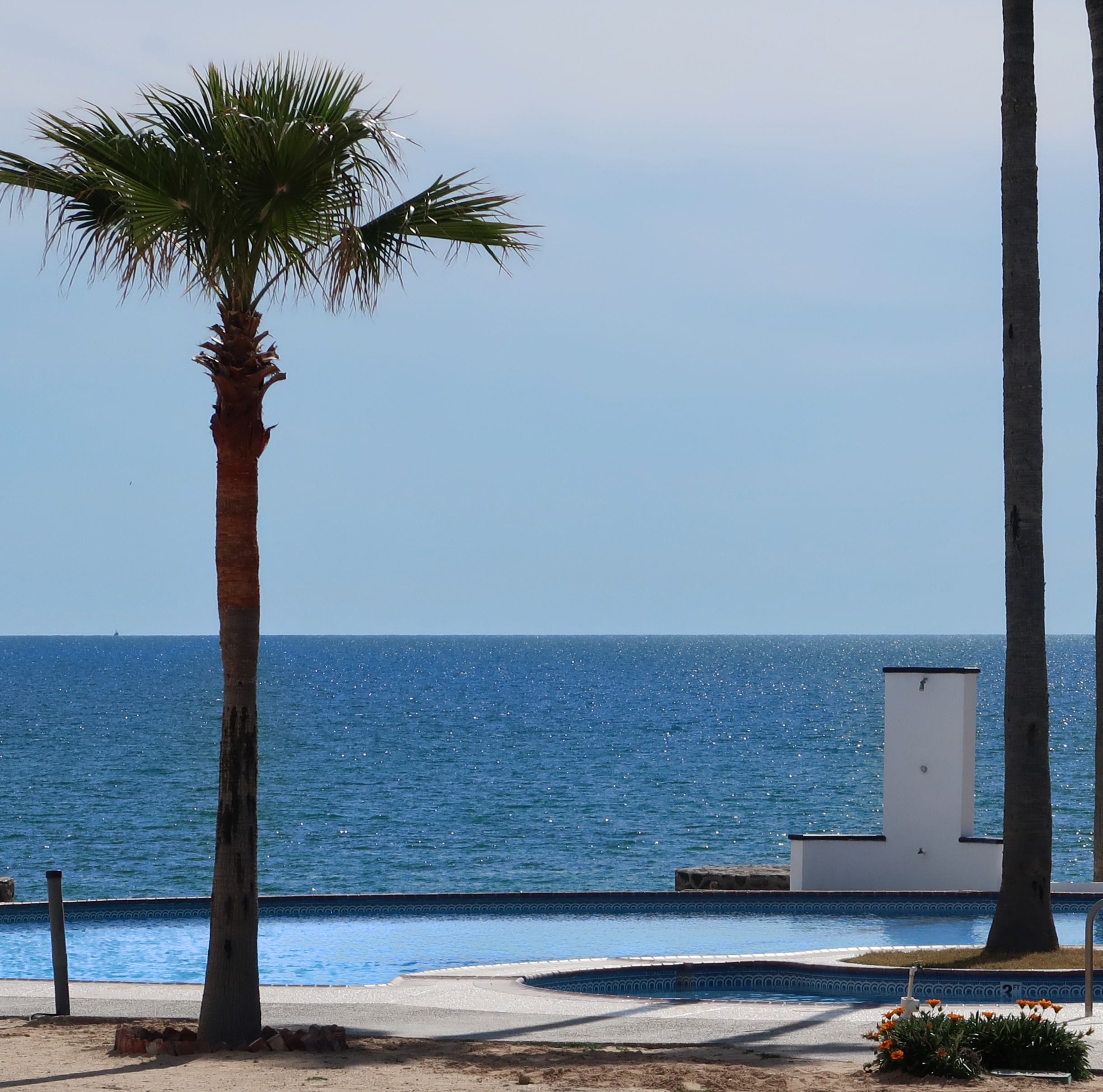
We went to look at the fancy hotels. You’re still able to sneak to the beach pretty easily (unlike Cancun, where almost all beach access is blocked and private). I think that it is headed that way here too – but construction is not finished yet, so you can slip in with a bike to see stuff.
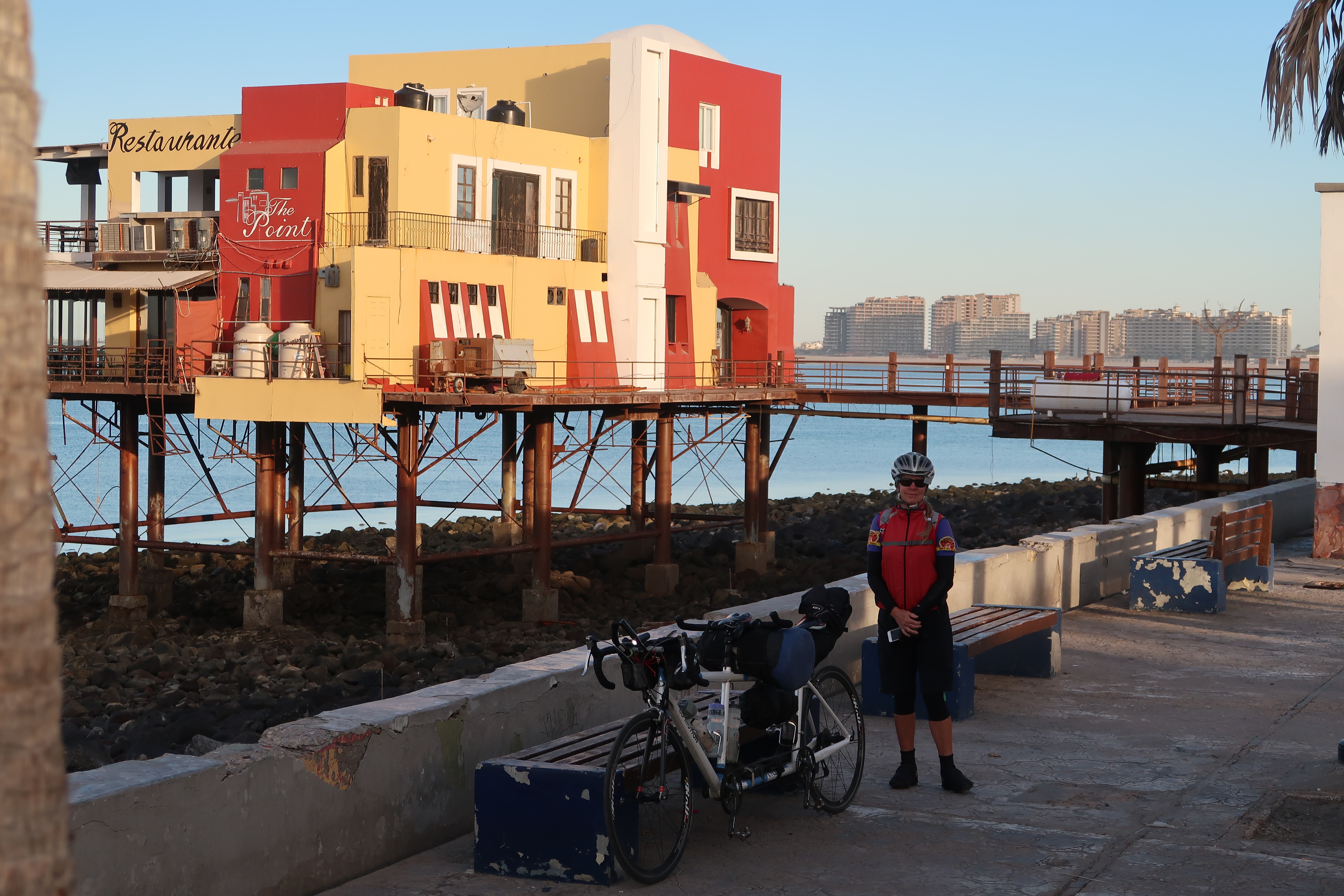
From the malecón, you can see the high rise hotels and/or condos. Most are in various states of construction or destruction. I am guessing the destroyed ones were damaged by hurricanes- like the hotels we saw destroyed in La Paz. I have a feeling that as time goes on, this will become a pretty big tourist destination for Americans because it is so close to the USA.
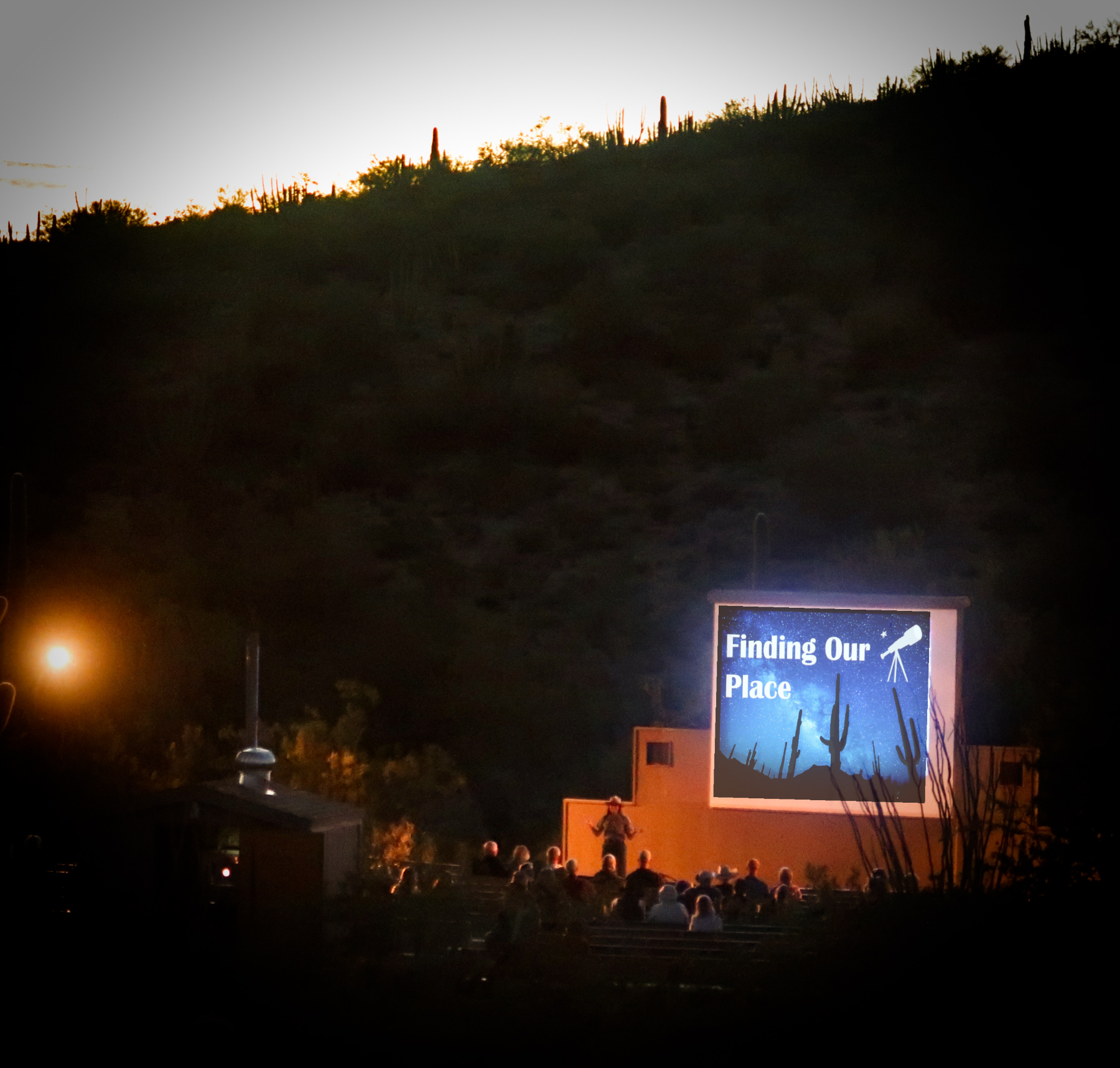
Rounding off a great day of riding, we went to the ranger talk at Organ Pipe National Monument in Arizona. It was expertly presented as she discussed the farthest reaches of the universe. Of particular interest was a photo from the Hubble telescope that had been trained to a pin head size portion of the sky. Within that tiny field of view, it had 100 thousand galaxies; imagine how many exist in all directions! She also brought the discussion back to home and one thing I found interesting from that segment was that there are 40 colonies of leaf cutter ants in the USA – and all of them are in this park.
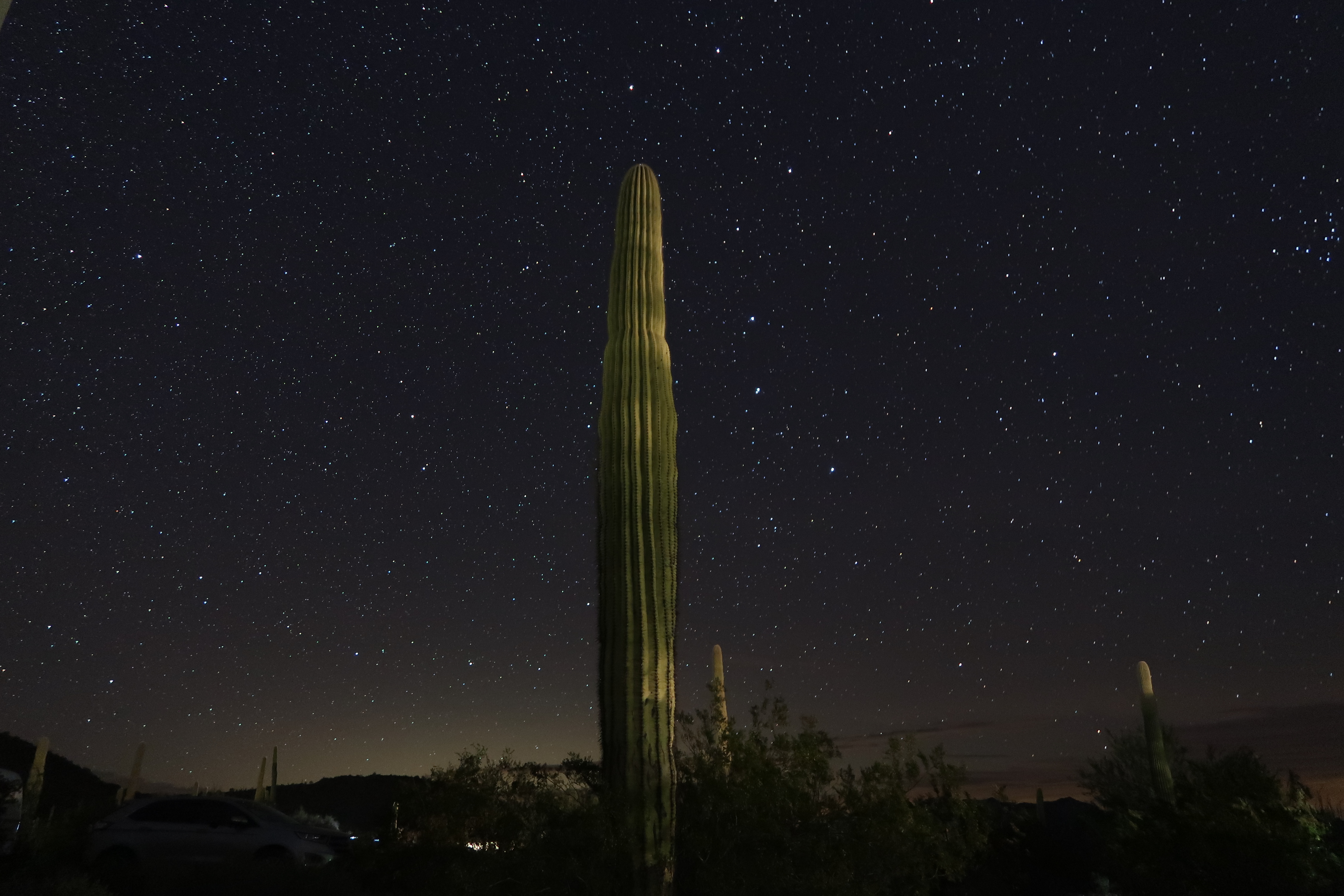
Long exposure of a Saguaro cactus taken from our tent.
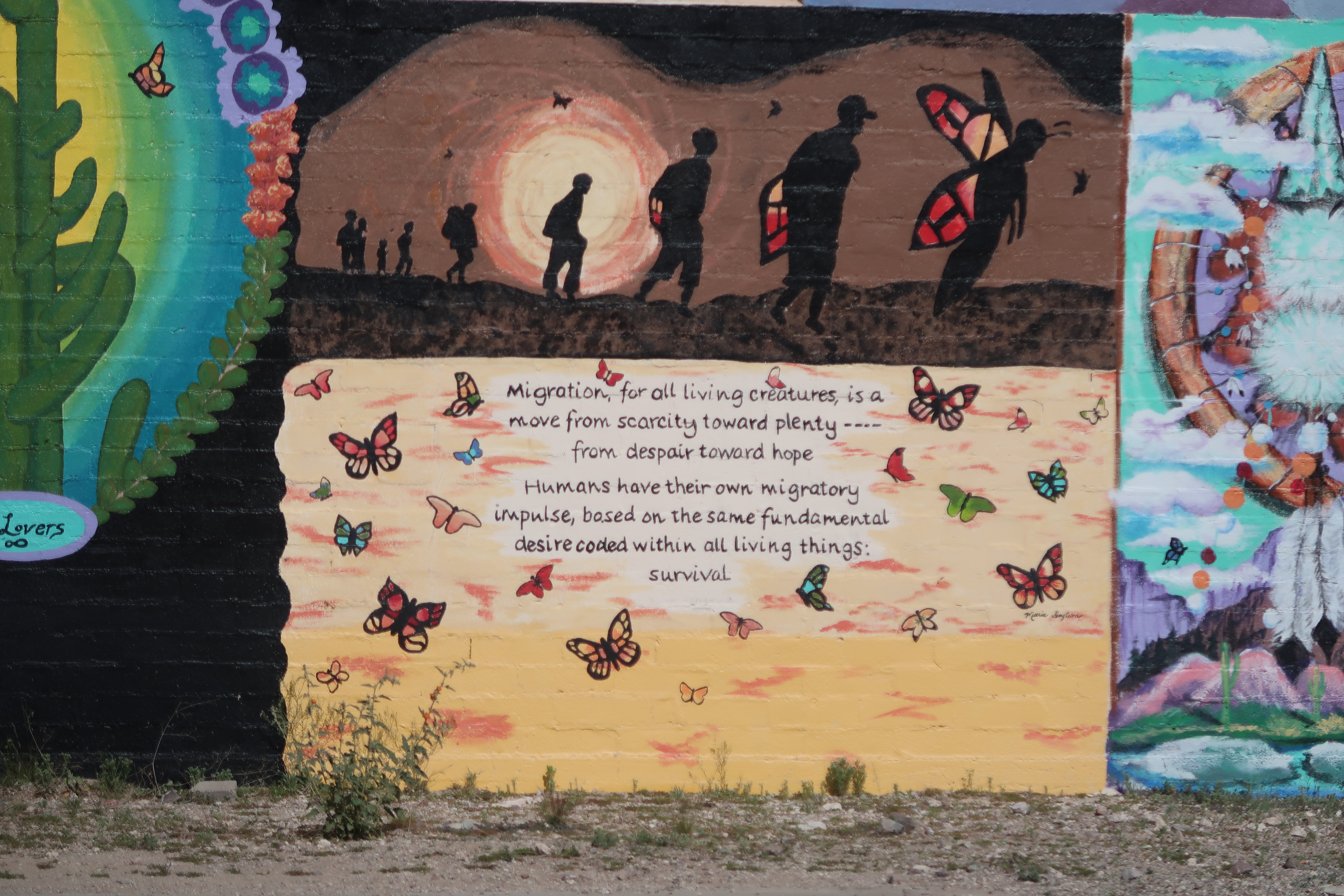
I liked these words – partly because I identify with this migratory impulse. I really feel it is why I love bike touring so much – as if it is in my DNA to always be moving to new places. Now that we have speedy vehicles like bicycles and information from the internet, it is even possible to migrate to optimal climates at optimal times like birds, whales, and butterflies.
The town of Ajo (which means Garlic) was really cool! A guy named Mike with an Ajo t-shirt came right up to us and wanted to take our picture. He then told us how he got the city to buy bikes for the kids and how he takes the school kids mountain biking every day – and how he wants to turn Ajo into the next Moab (expressly NOT Sedona). Anyway, we stopped at a cool CSA / cafe with super high prices that somehow managed to make you feel good about spending lots of money with words like “organic” and “community”. For me, plain old caffeine is sufficient to part me with money and makes me more generous with tips as well.
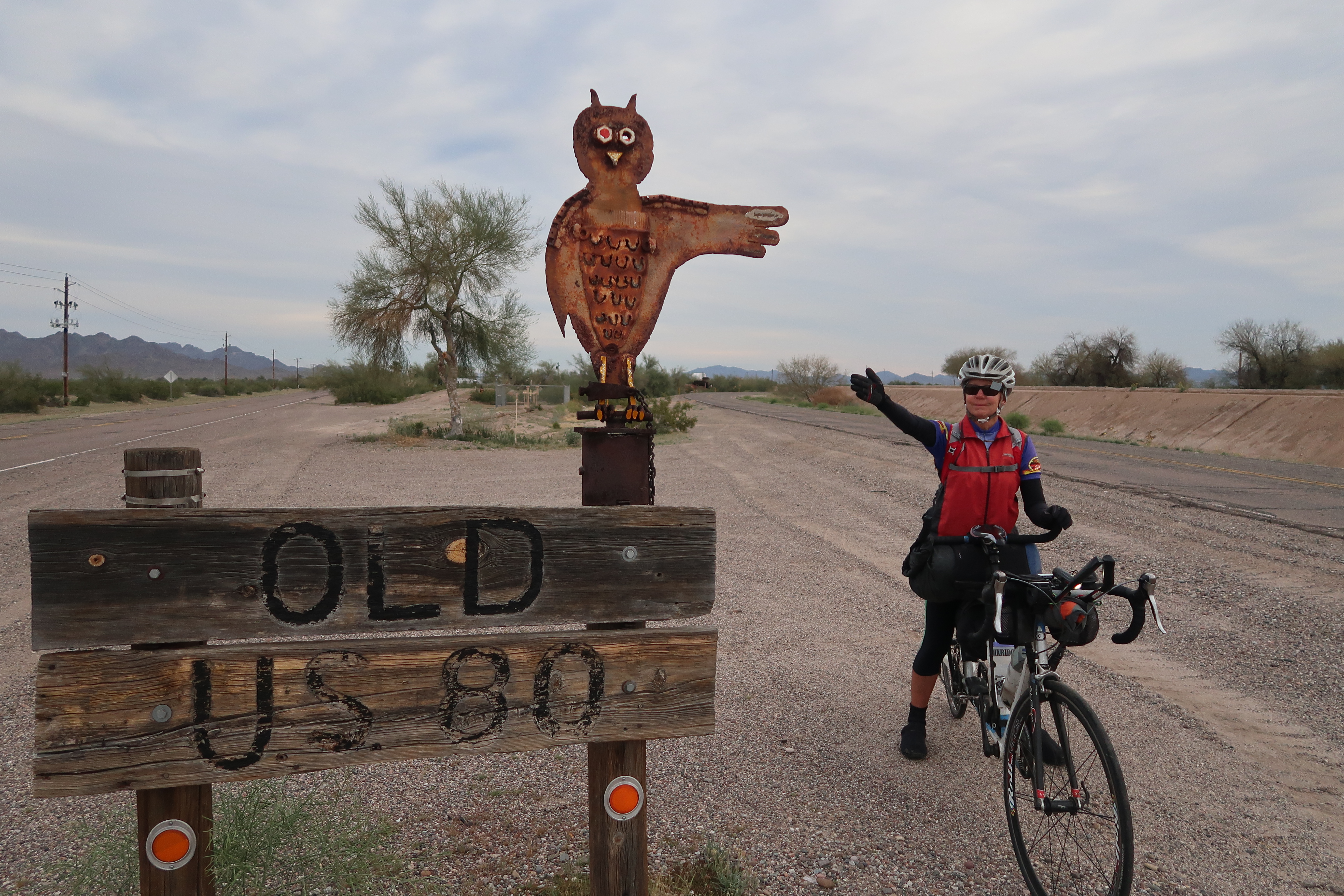
The old highway 80 towards our final destination.
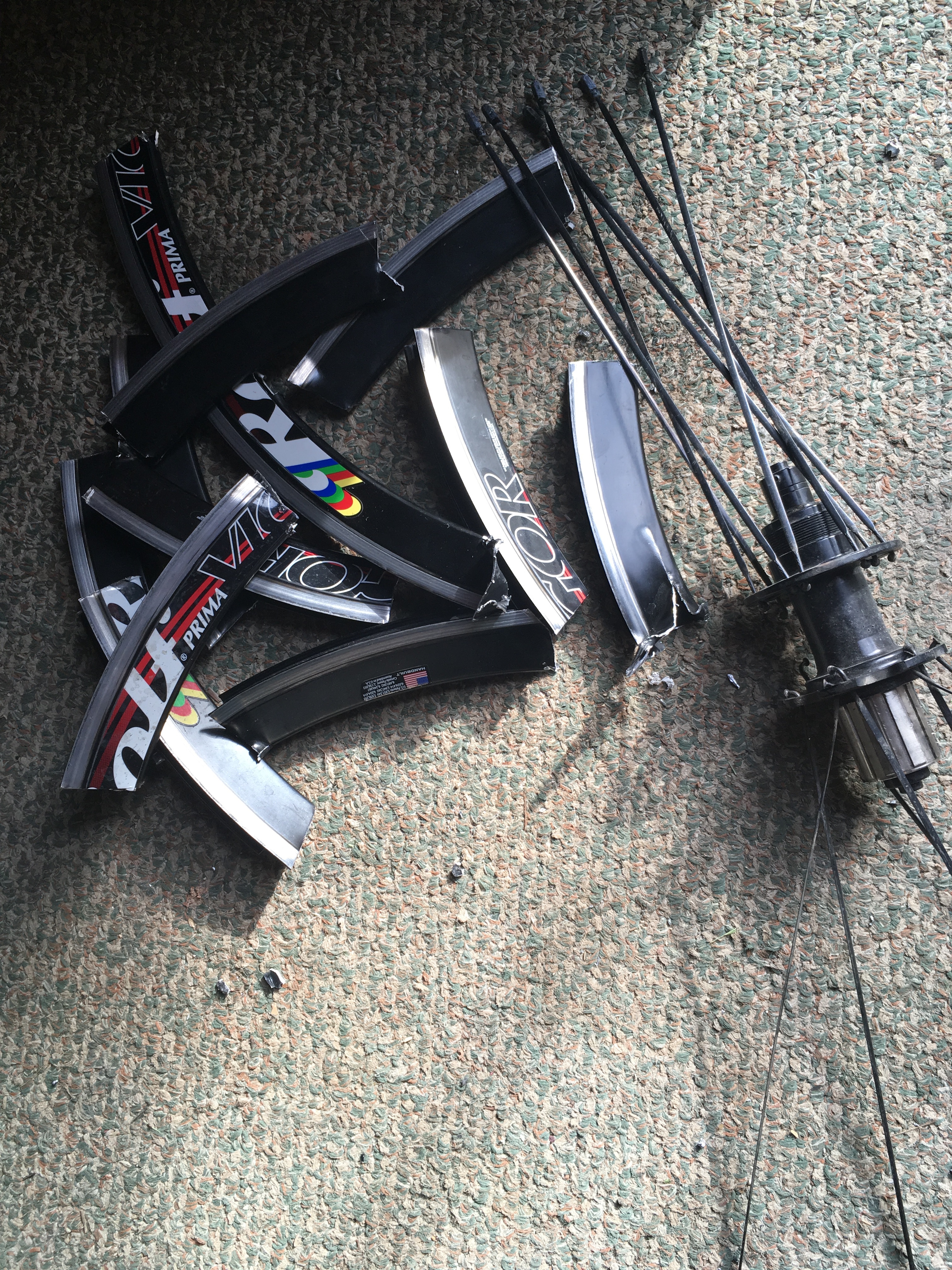
Rolf Wheels. Near the end of the tour, our rear rim cracked and the spokes started pulling through. The wheel disintegrated quickly after that. In the picture, I have cut apart the rim to send back my near-new rear hub for a rebuild. It costs about $350 for a rebuild of one wheel. Although I generally like Rolf wheels, I find their policy disappointing. $350 is a lot for a rim. The rim is proprietary, so it is not like you can do a lace over to another more-fairly-priced rim. Because of Rolf’s policy, my next tandem wheels will not have Rolf’s proprietary paired spoke technology. I did get this one repaired, though, and plan to ride it for a while.
This is the map for the entire route discussed in this post. To Export GPX files, click on the three horizontal bars in the upper right hand corner of the map and select Export selected map data…
To see full screen, click here (opens in new window)