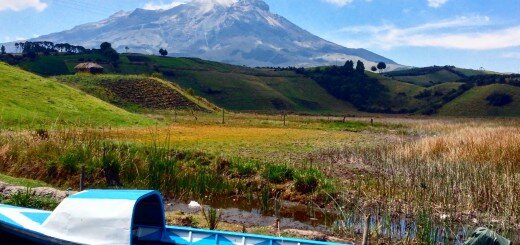
Garcia Wilderness Trails
There are a few, somewhat neglected trails in the Garcia Wilderness. These trails are perfect for running and hiking – especially in the winter time. By early spring, they tend to be overgrown with poison oak and swarming with flies. Also, the area can get pretty warm – hot in the summer. Winter is a perfect time for exploration, but access can be difficult.
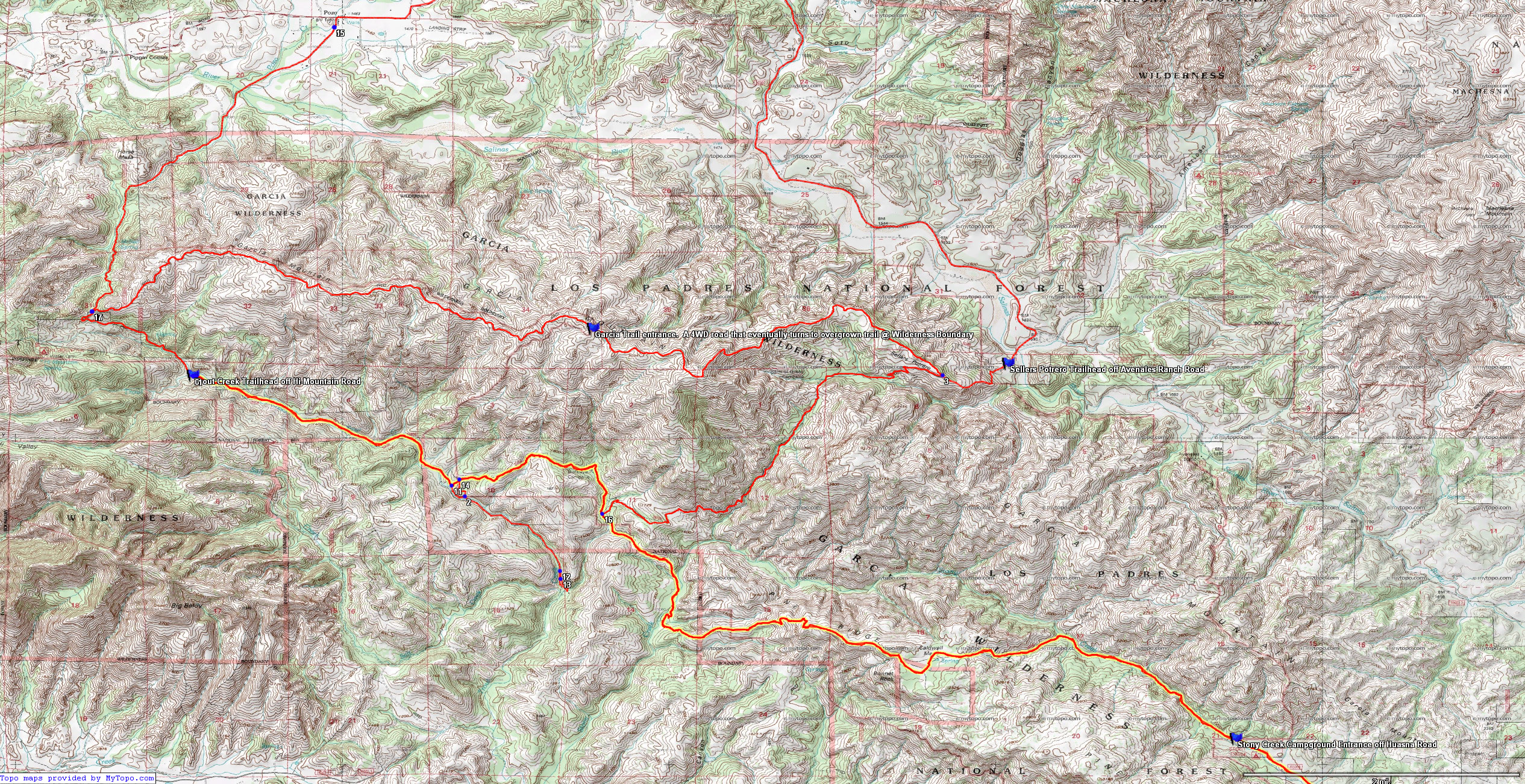
The network of routes through the Garcia Wilderness. The red line indicates the routes. The blue flags indicate the access points (most of which are not open to the public – see discussion above). The pink line represents the boundary of the Wilderness
There are 4 access points into Garcia Wilderness. One is at the Trout Creek Trailhead. This access point is on public lands, and can be accessed by several miles on a dirt road (4 Wheel Drive is required). It takes 15-25 minutes to drove to this trail head from Pozo.
Another Entry point is at the end of Garcia Ridge Road, also accessed via Hi-Mountain road (also leaving out of Pozo). It takes about 45-60 minutes to drive on a rugged 4WD road to this point from Pozo. This access point is of little interest because of the effort to get here and because the Garcia Ridge trail is overgrown, and not any more beautiful than other nearby (more easily accessed) ridge trails.
The other 2 points are both on private land, but I’m archiving them here for general knowledge/interest. Also, there is the possibility that public access will be restored, at which point I will update this post. The other 2 access points are as follows:
1) The Stony Creek Campground at the end of Huasna Road / Agua Escondito Road. The road to reach this area traverses private land that is not currently open to the public. Fortunately, though, There is an effort to find a “work around” – another way to enter the property.
2) The third access point is also through private land: Via Avenales Ranch Road. This trailhead takes you to the Sellers Potrero Trailhead. Again, this entry is currently on private land. It appears that the land-owners at the Avenales Ranch side may grand permission to access this blocked trail head. If you decide to go explore the Garcia Wilderness, you can definitely access via the Trout Creek Trailhead, and explore all the way to these other trail heads – at which point you might want to turn around.
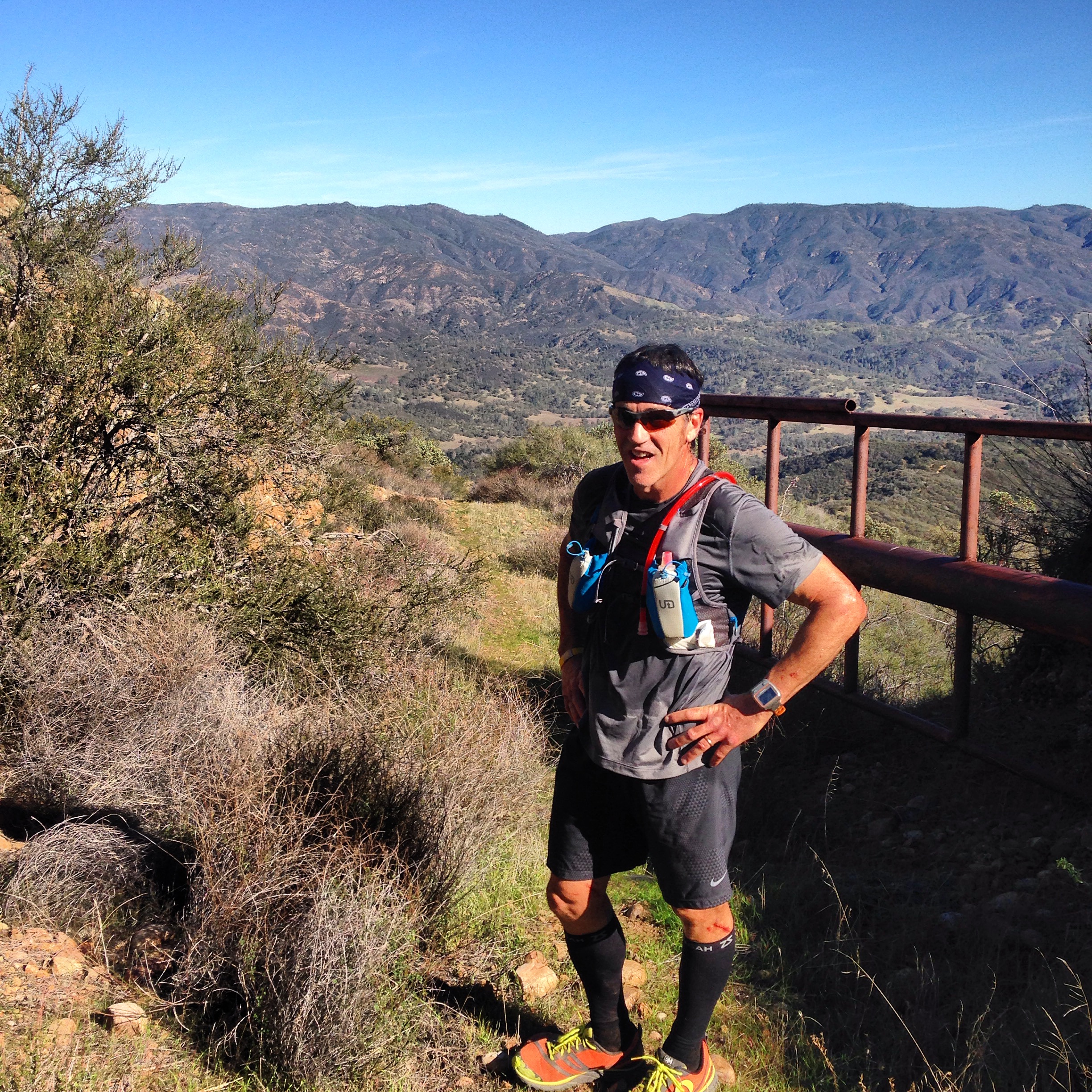
Glenn on Garcia Ridge Trail. This trail is fairly difficult on foot because it is overgrown and steep. On my overview map at the beginning of this post, the overgrown section is the portion between the “Garcia Trail Entrance” and “Intersection 3”
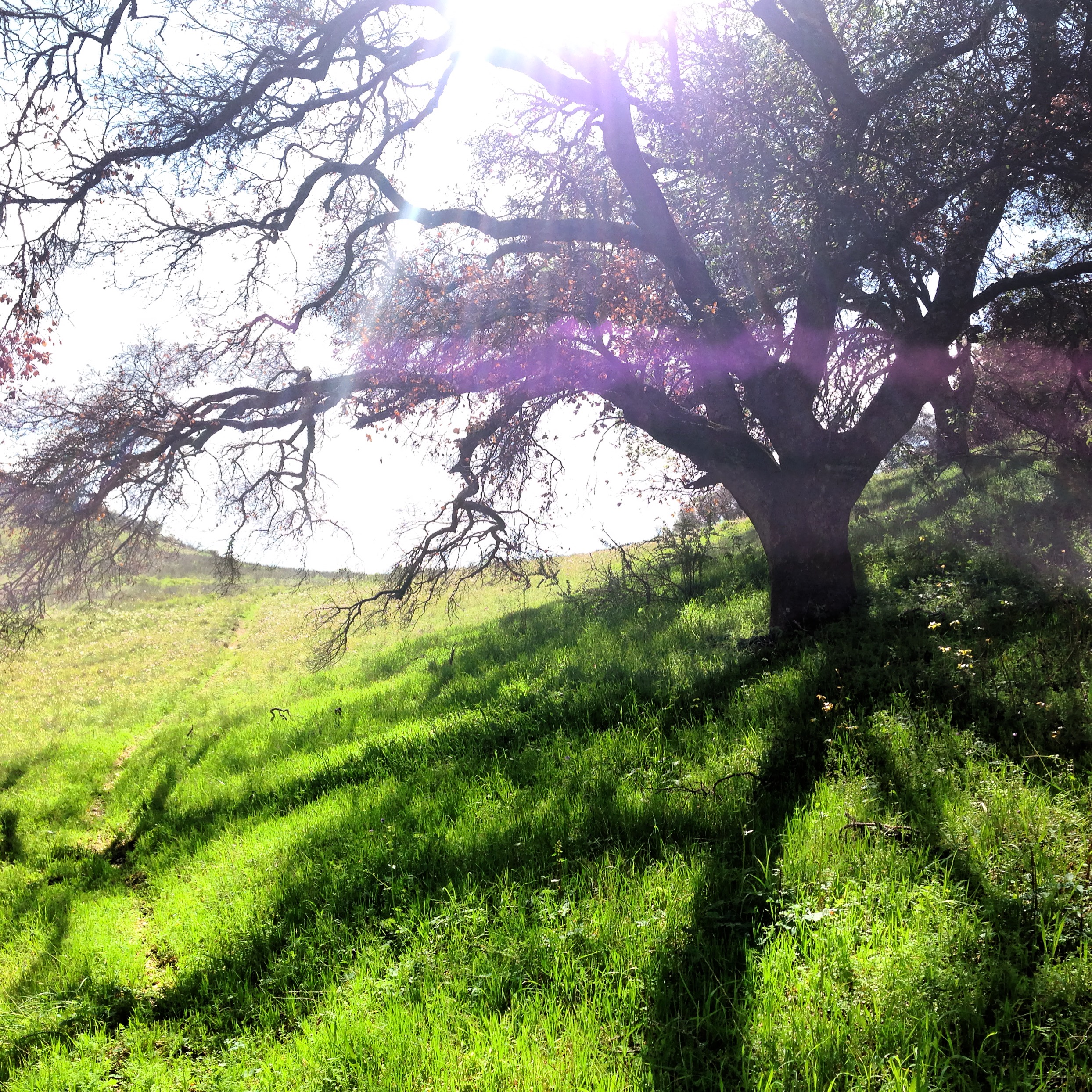
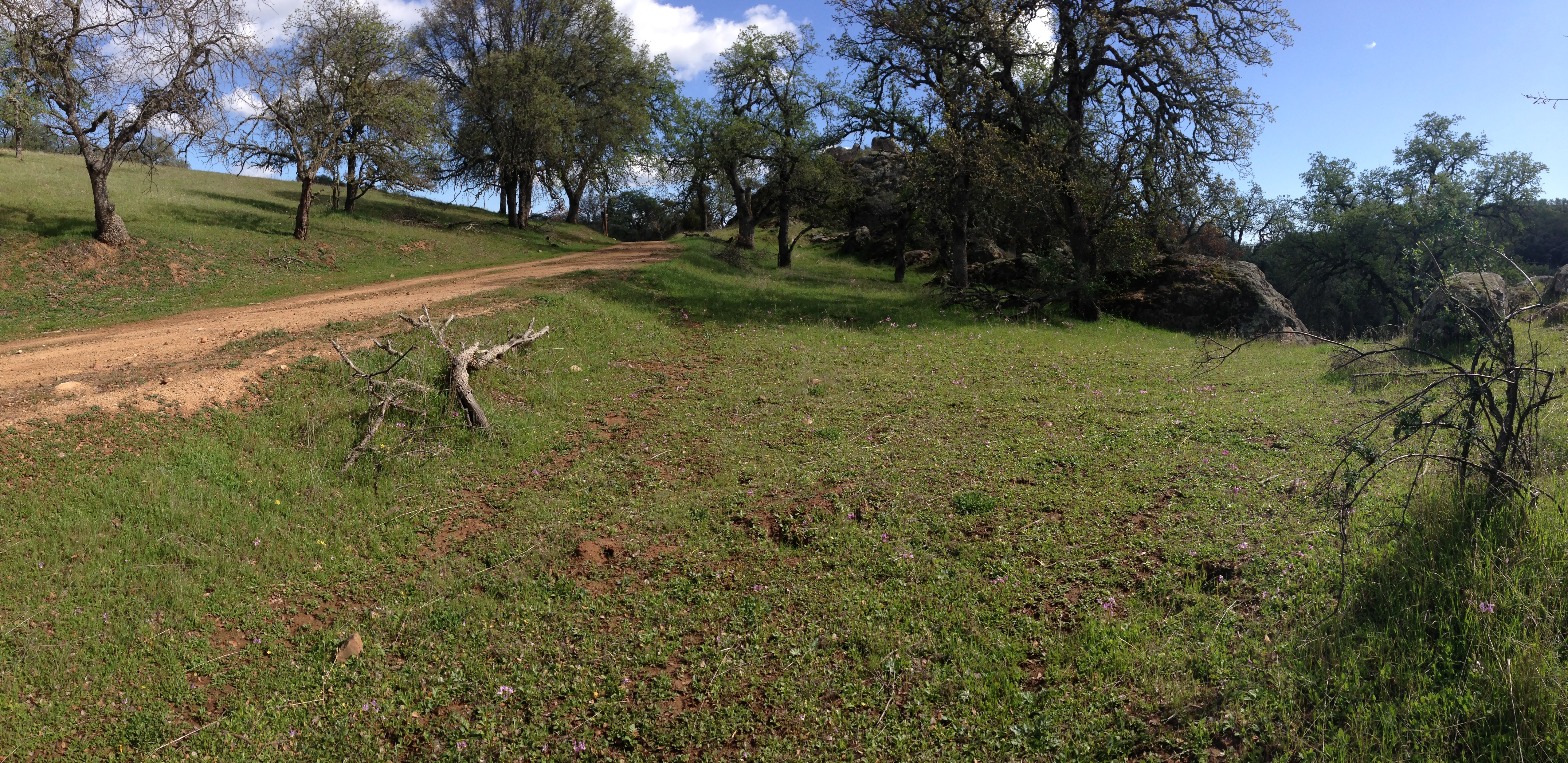
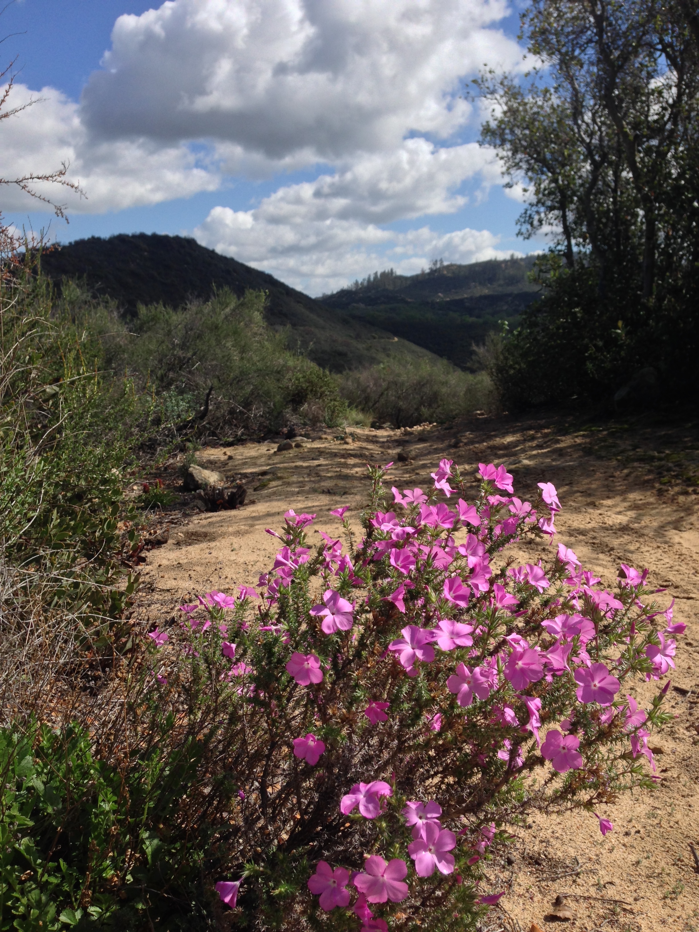
Beautiful Oaks seen along the Trout Creek Trail.
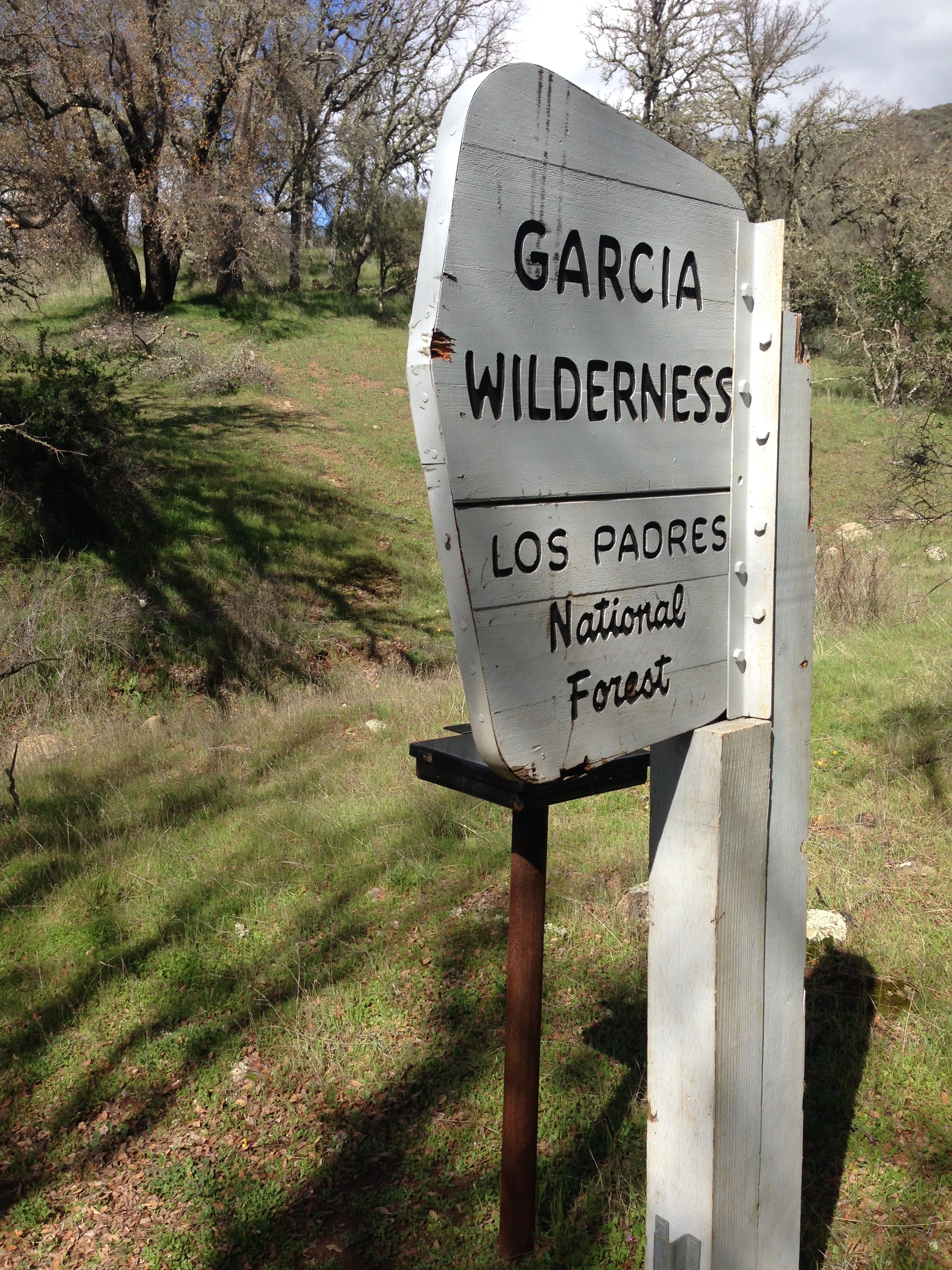
The boundary of Garcia Wilderness near Stony Creek Campground
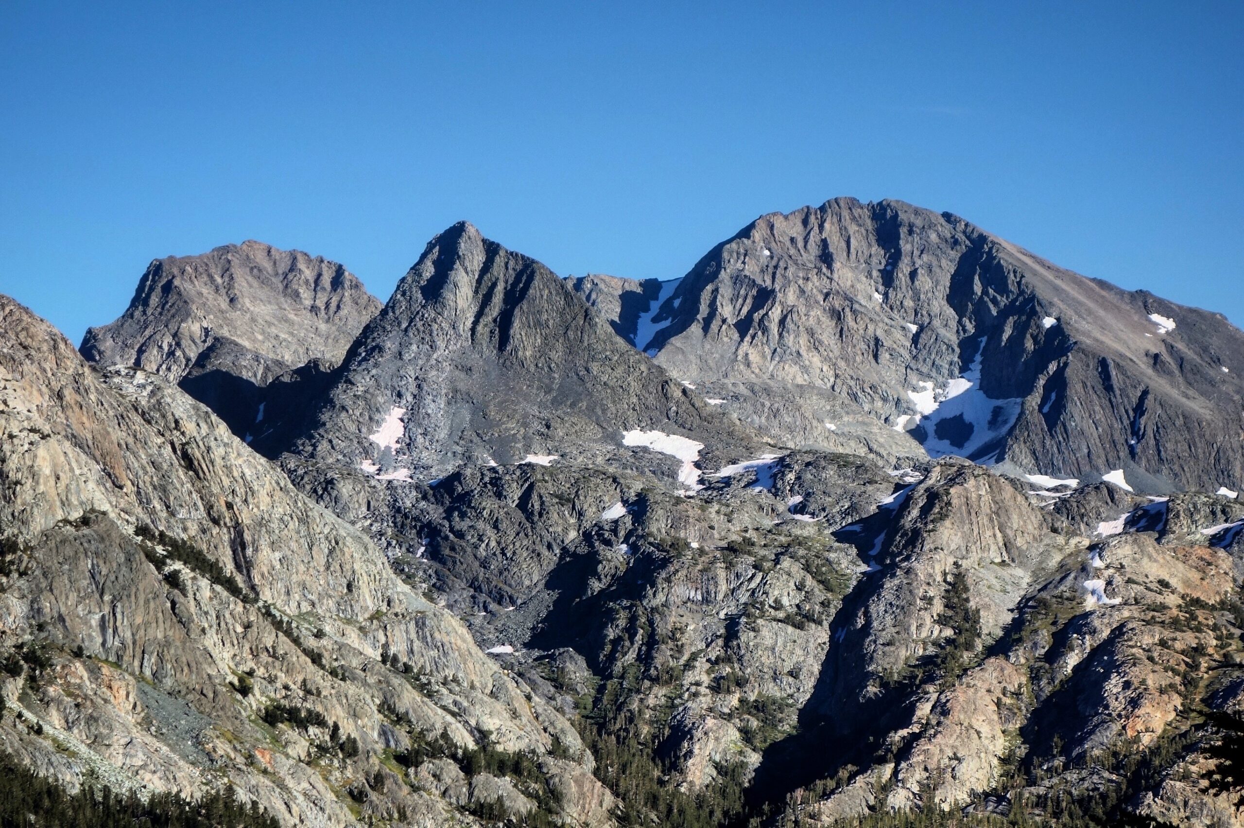
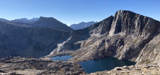
Caldwell Mesa – and amazing spot!
The trail climb up to Caldwell Mesa (this is the climb on the West side). The East side is also beautiful.
The trail climb up to Caldwell Mesa (this is the climb on the West side). The East side is also beautiful.
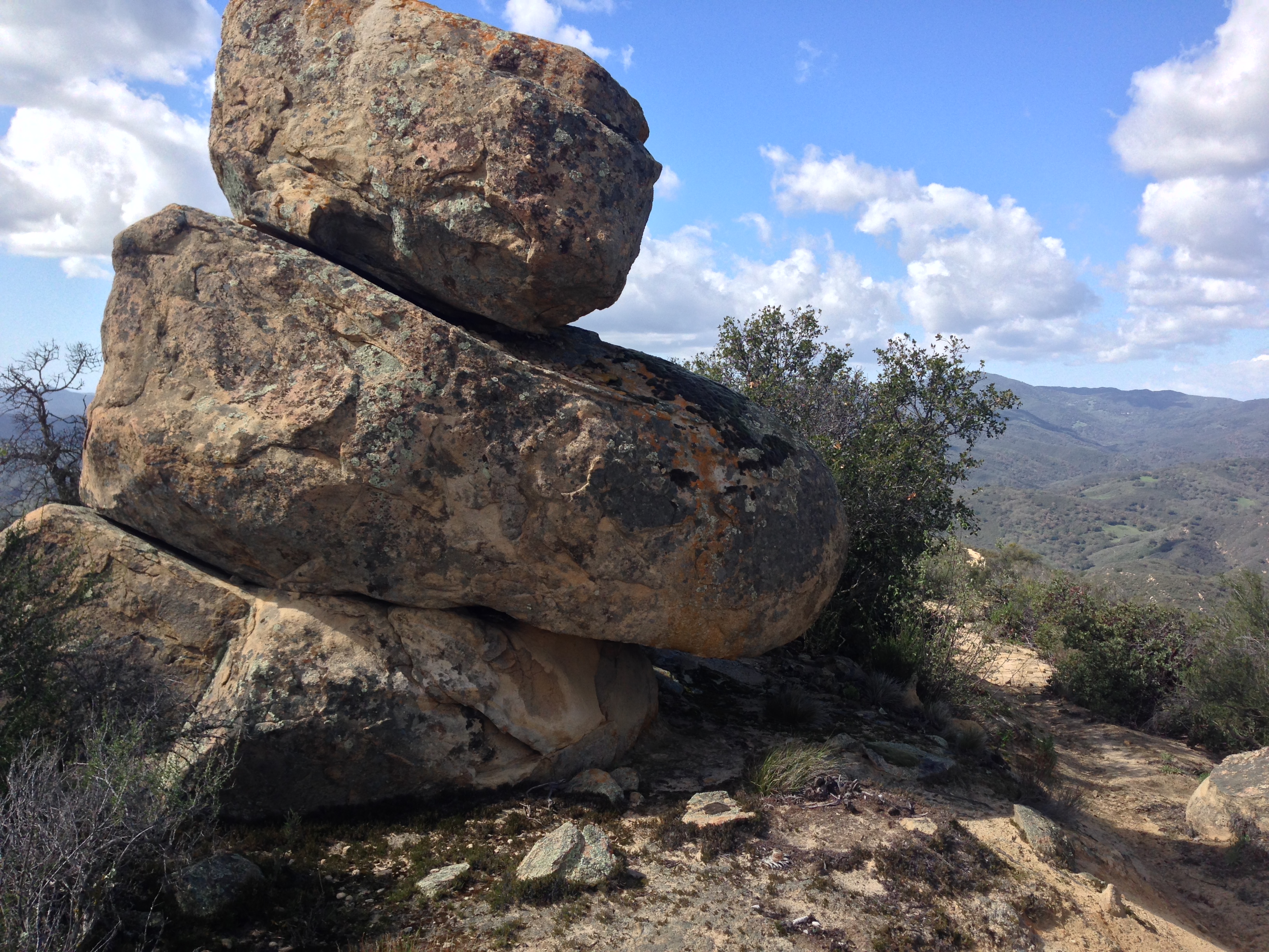
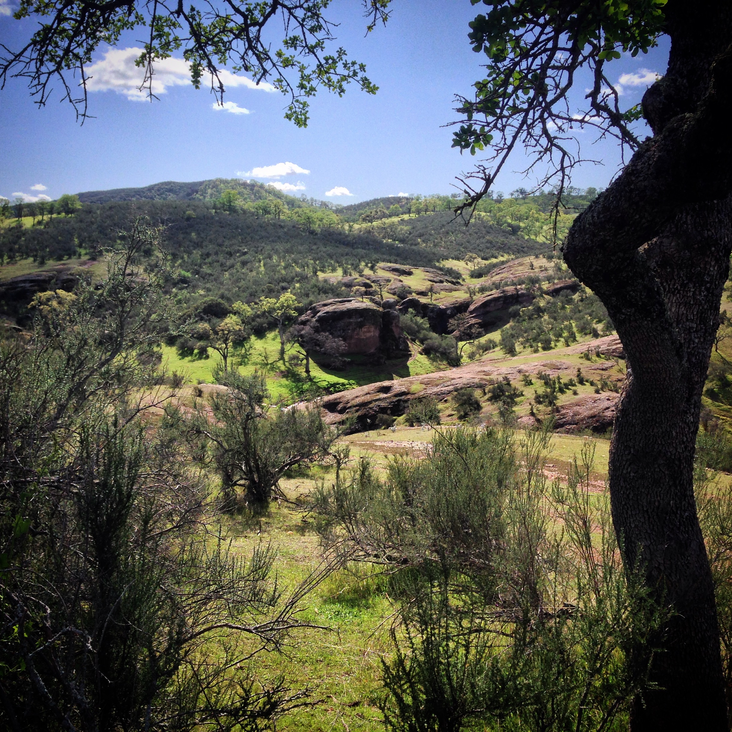
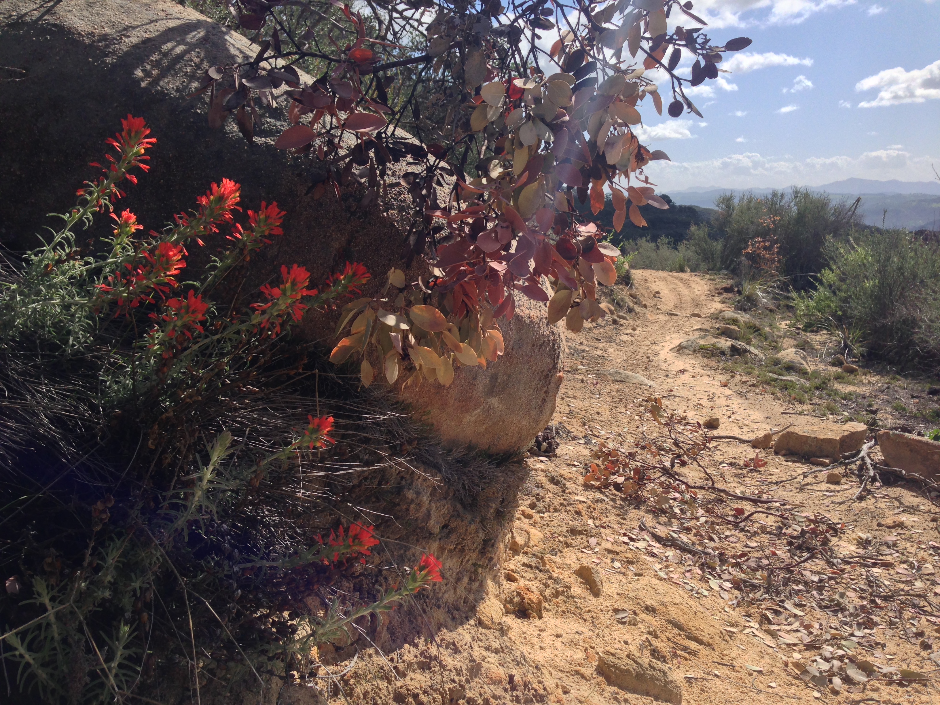
Rock seen on Pine Ridge near Caldwell Mesa

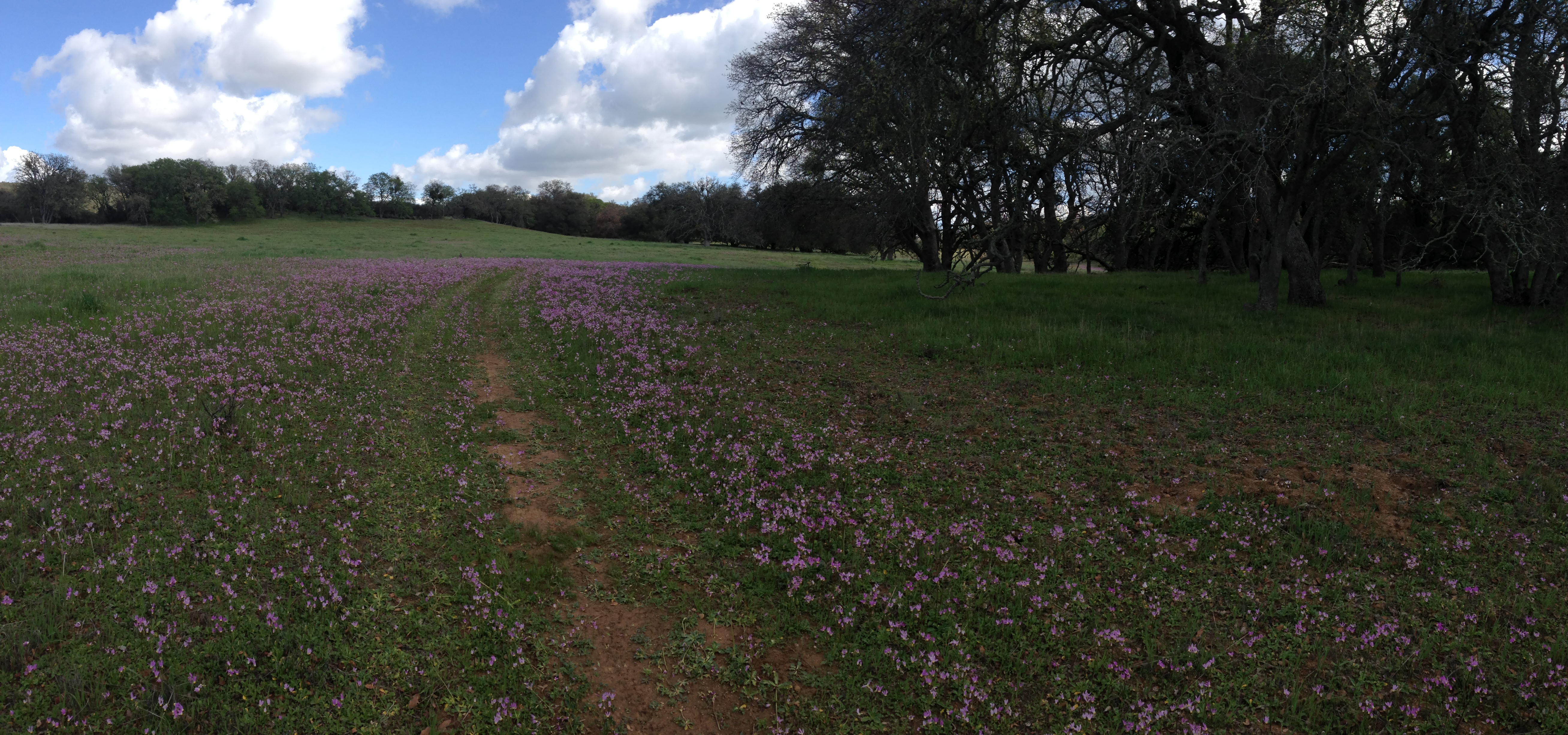
The shooting stars were abundant on the Trout Creek Trail.
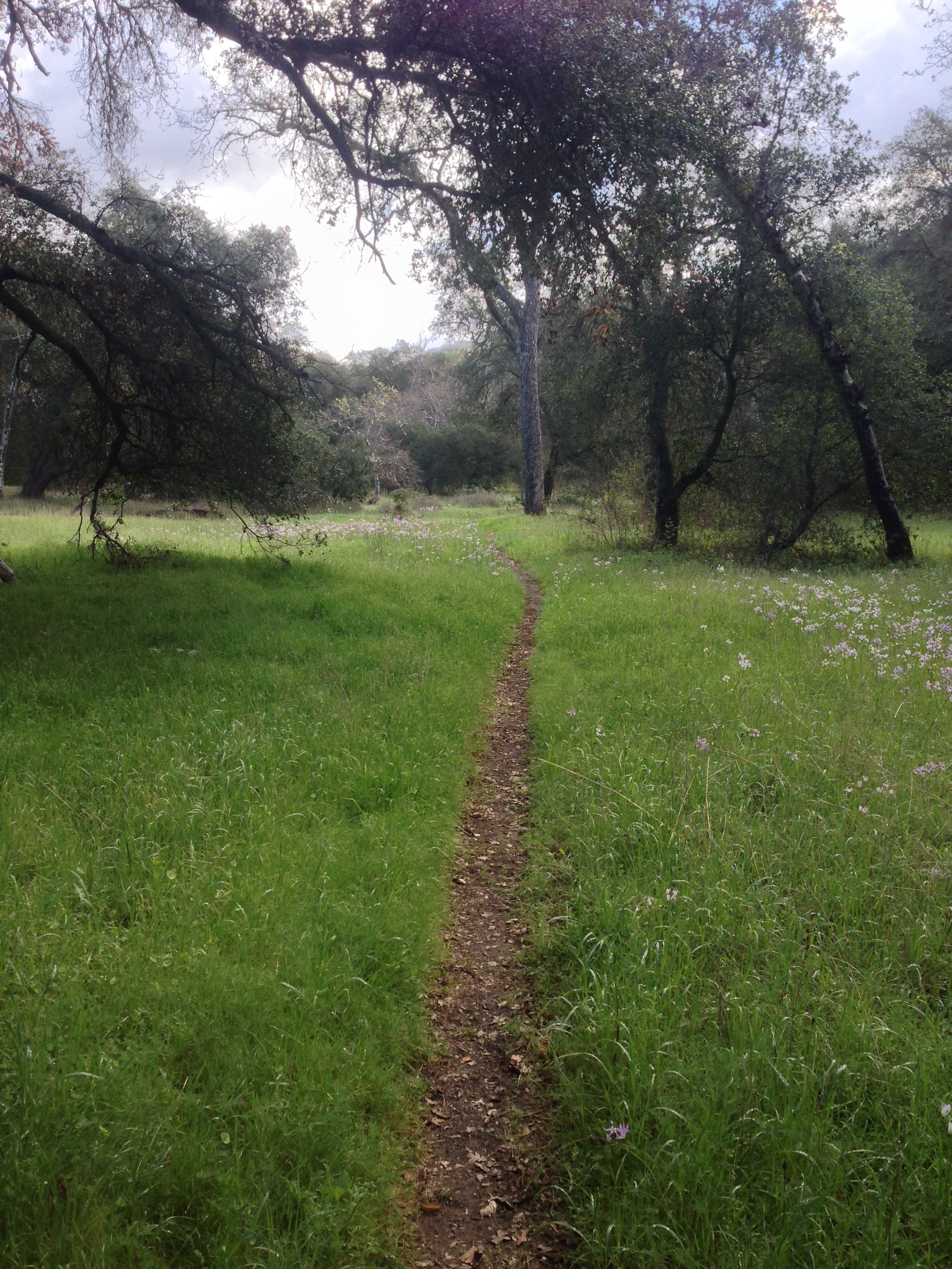
The Trout Creek trail near the trailhead (at the intersection with Hi-Mountain Road). The Trout Creek Trail is clear and open for the first couple miles, but becomes overgrown as you work your way East. Best time to visit is in the winter.
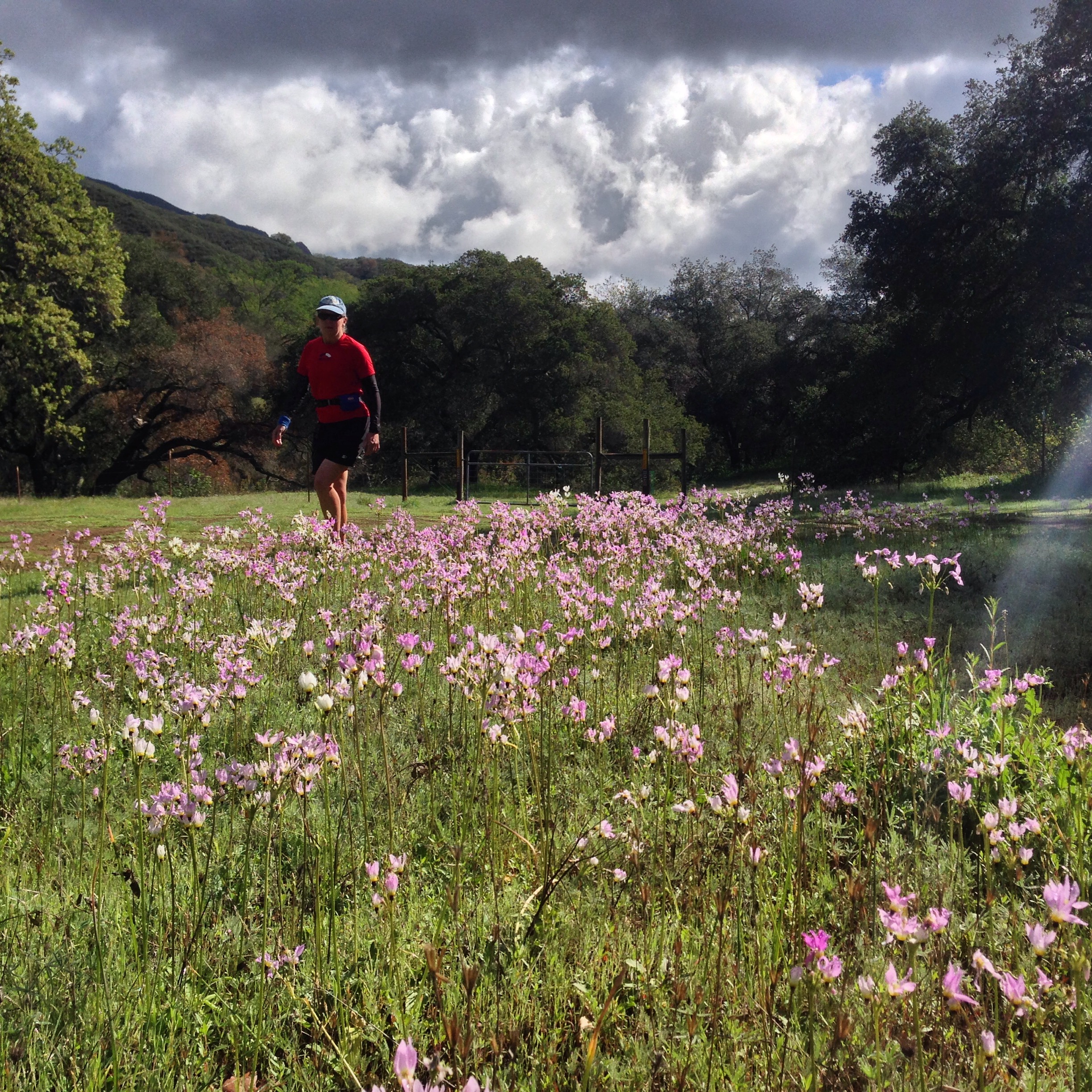
Carpets of Shooting Stars at the Trout Creek Trailhead


These areas I need to explore next spring. Garcia and Manchesna.
It seems there is quite a patchwork of a wilderness quilt out there from the 101 then east.
Mark,
Did you access this area? I’m curious about water access for a backpacking thru-hike.
Thanks,
Daniel