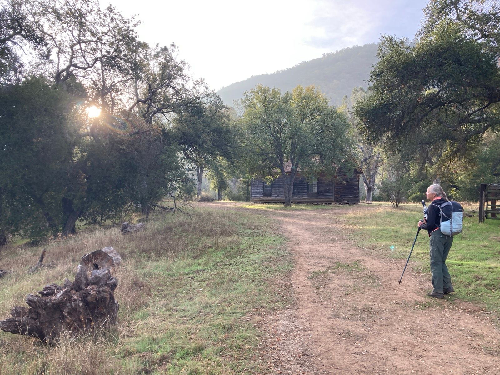
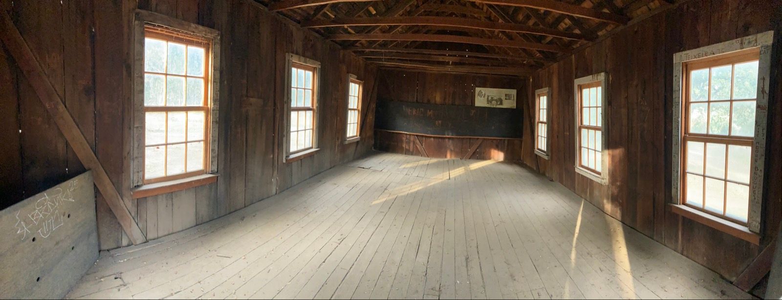
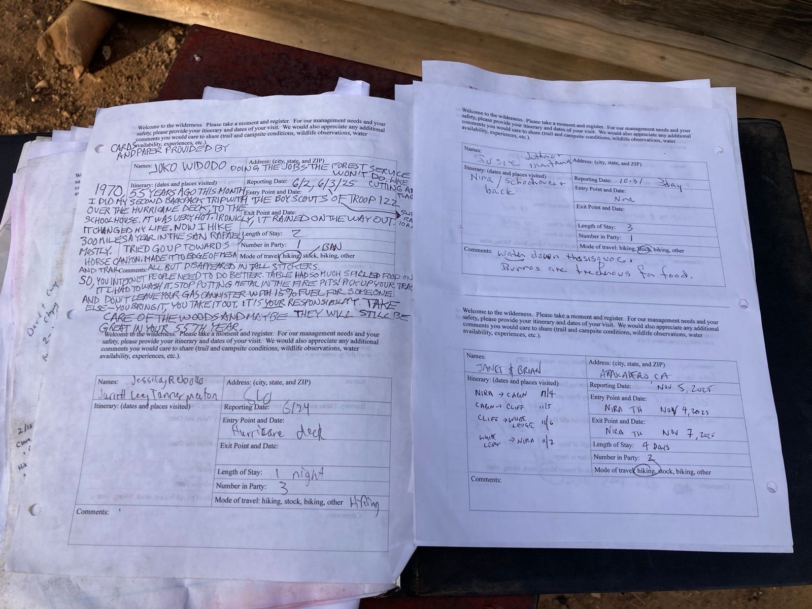
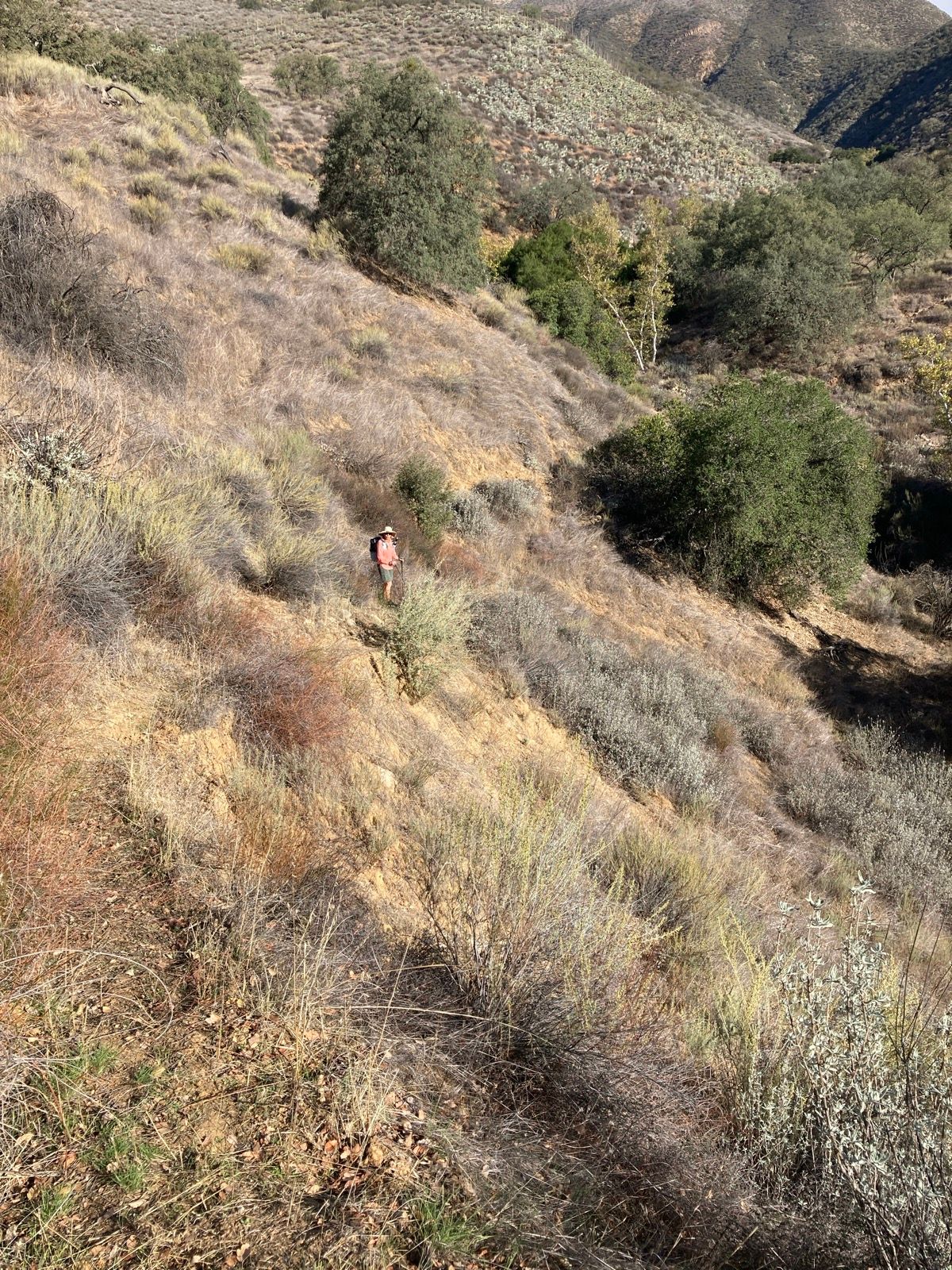
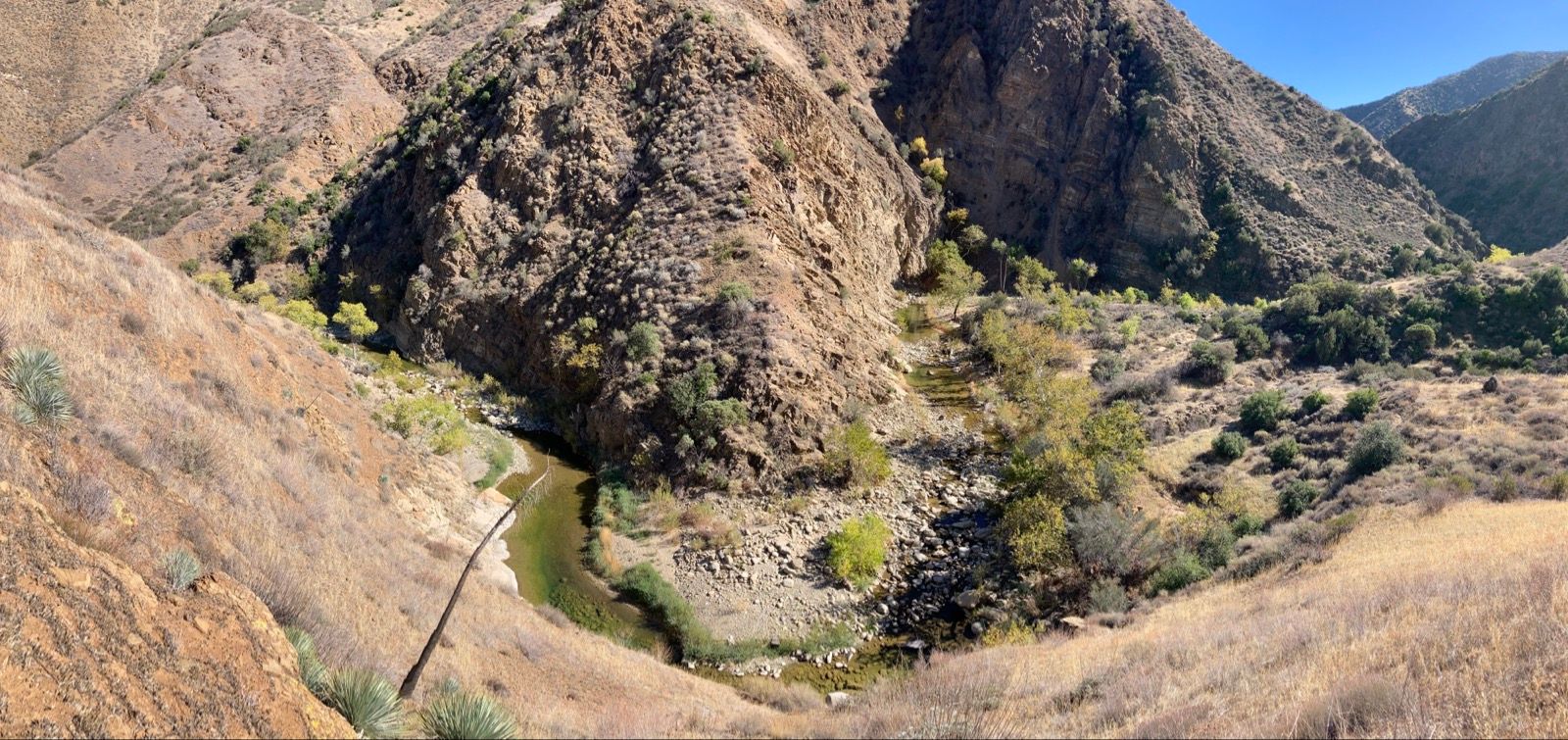
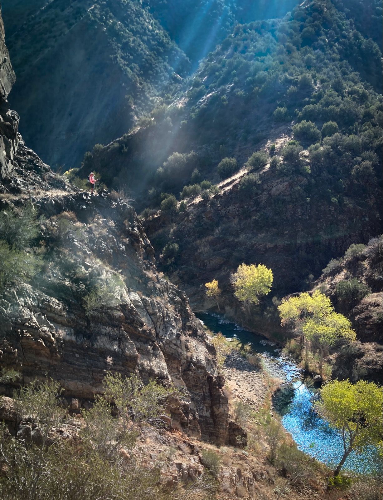
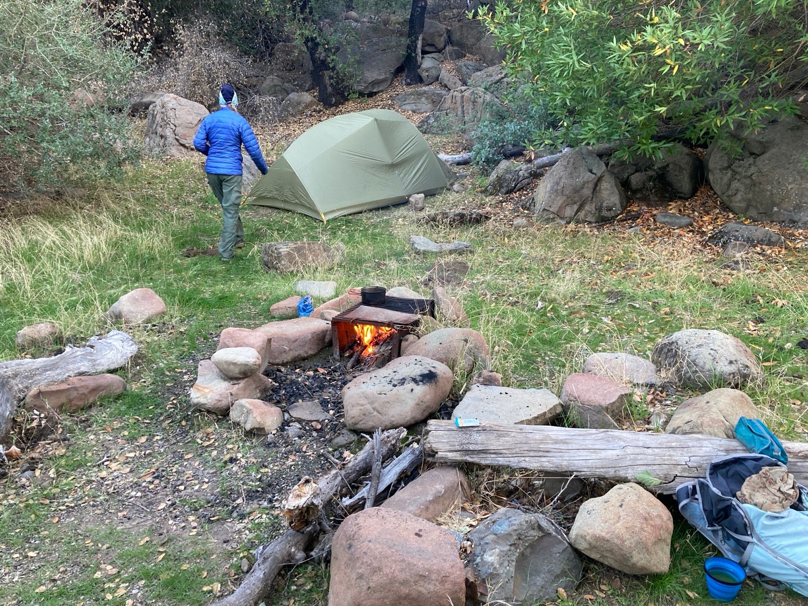
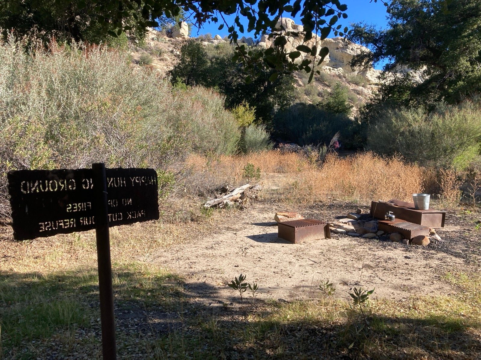
Backpacking the Sisquoc River Loop
This is the map for the entire route discussed in this post. To Export GPX files, click on the three horizontal bars in the upper right hand corner of the map and select Export selected map data... To see full screen, click here (opens in new window)
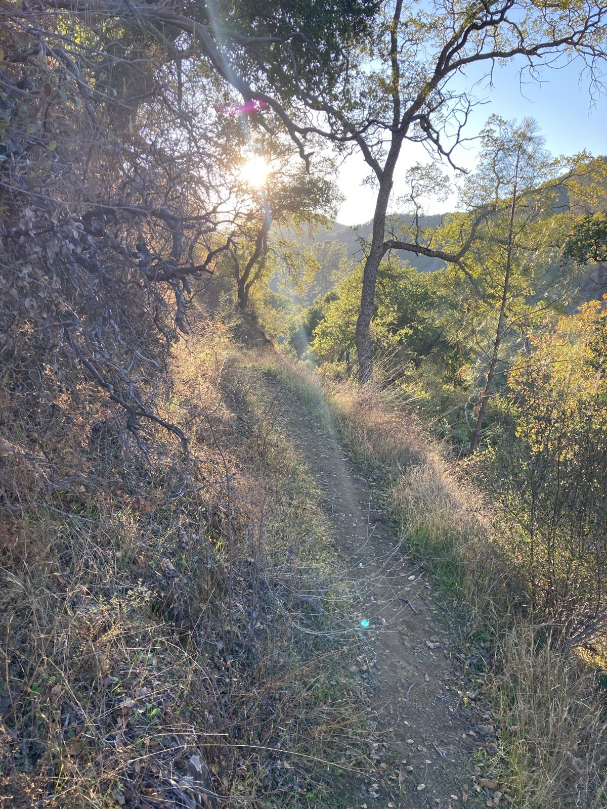
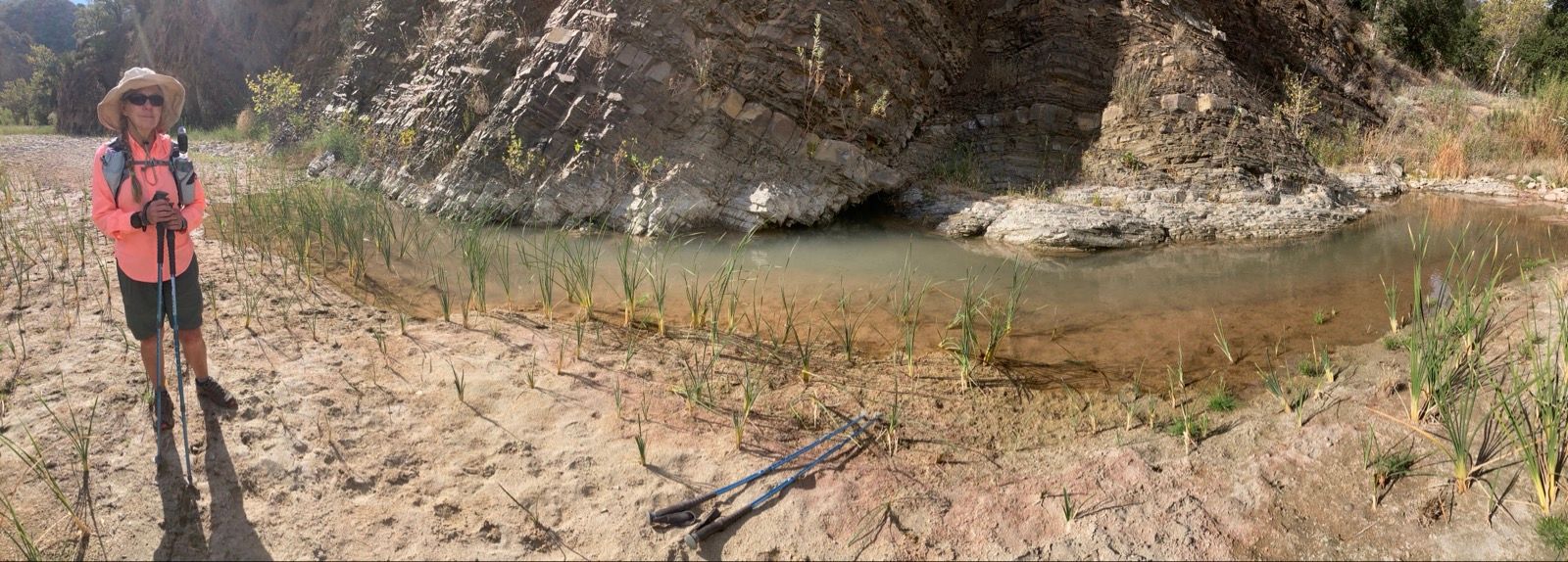
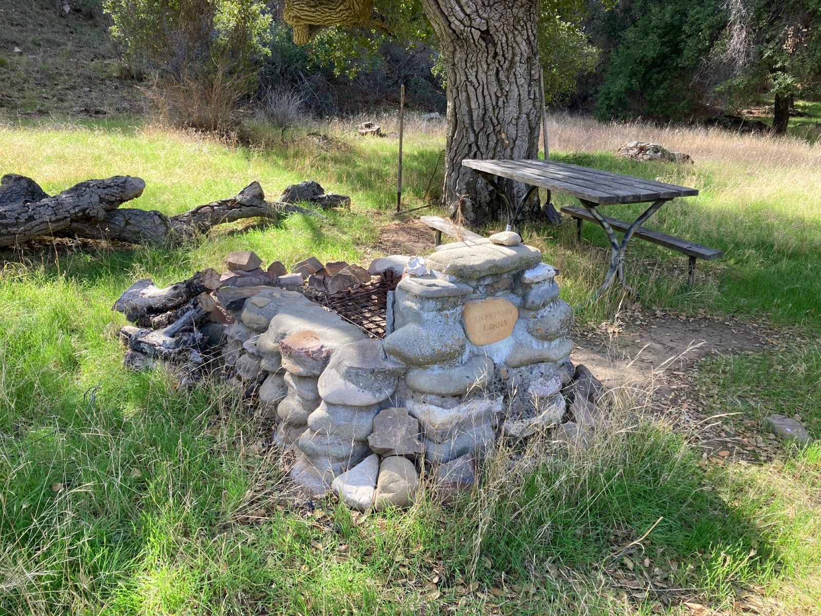
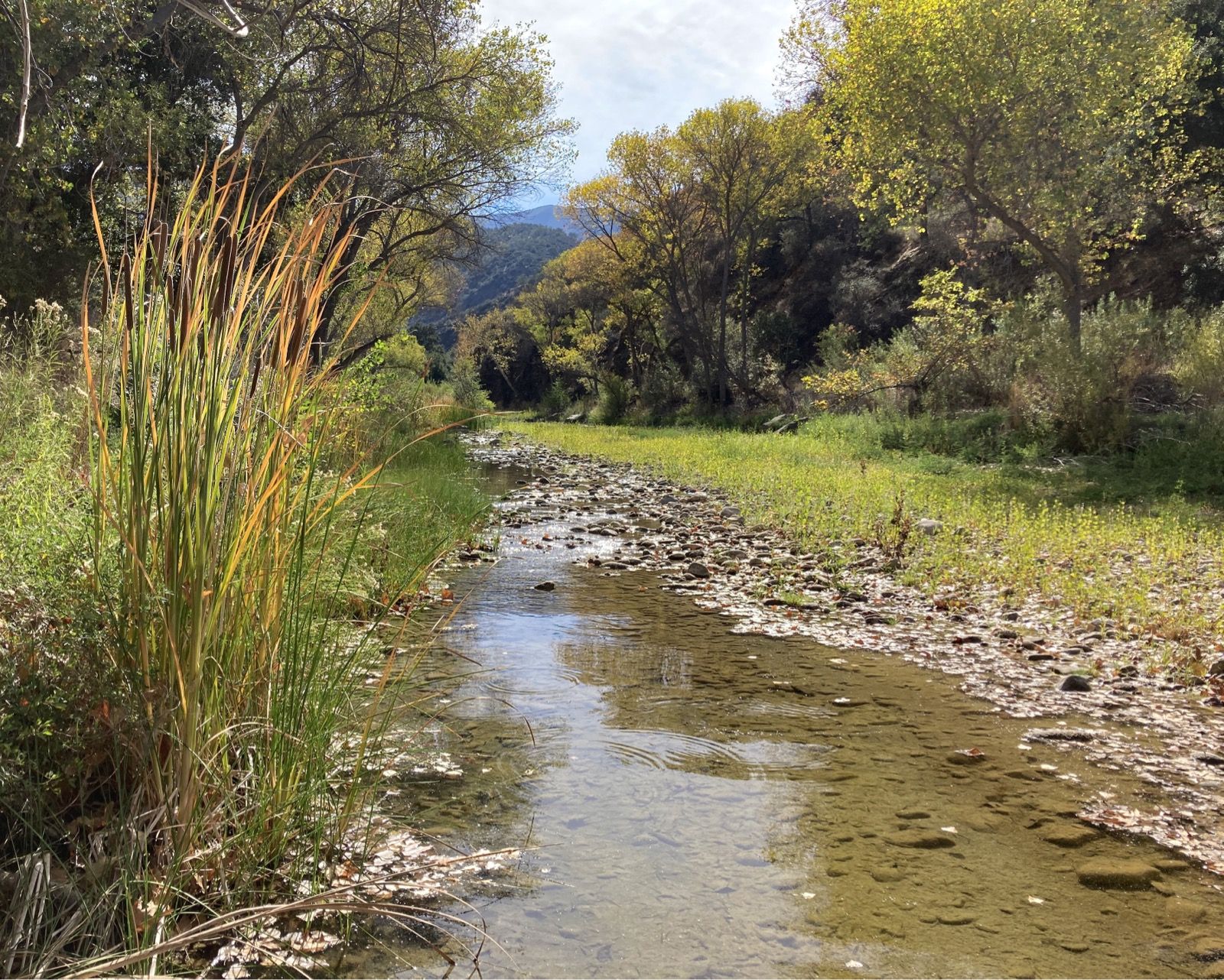
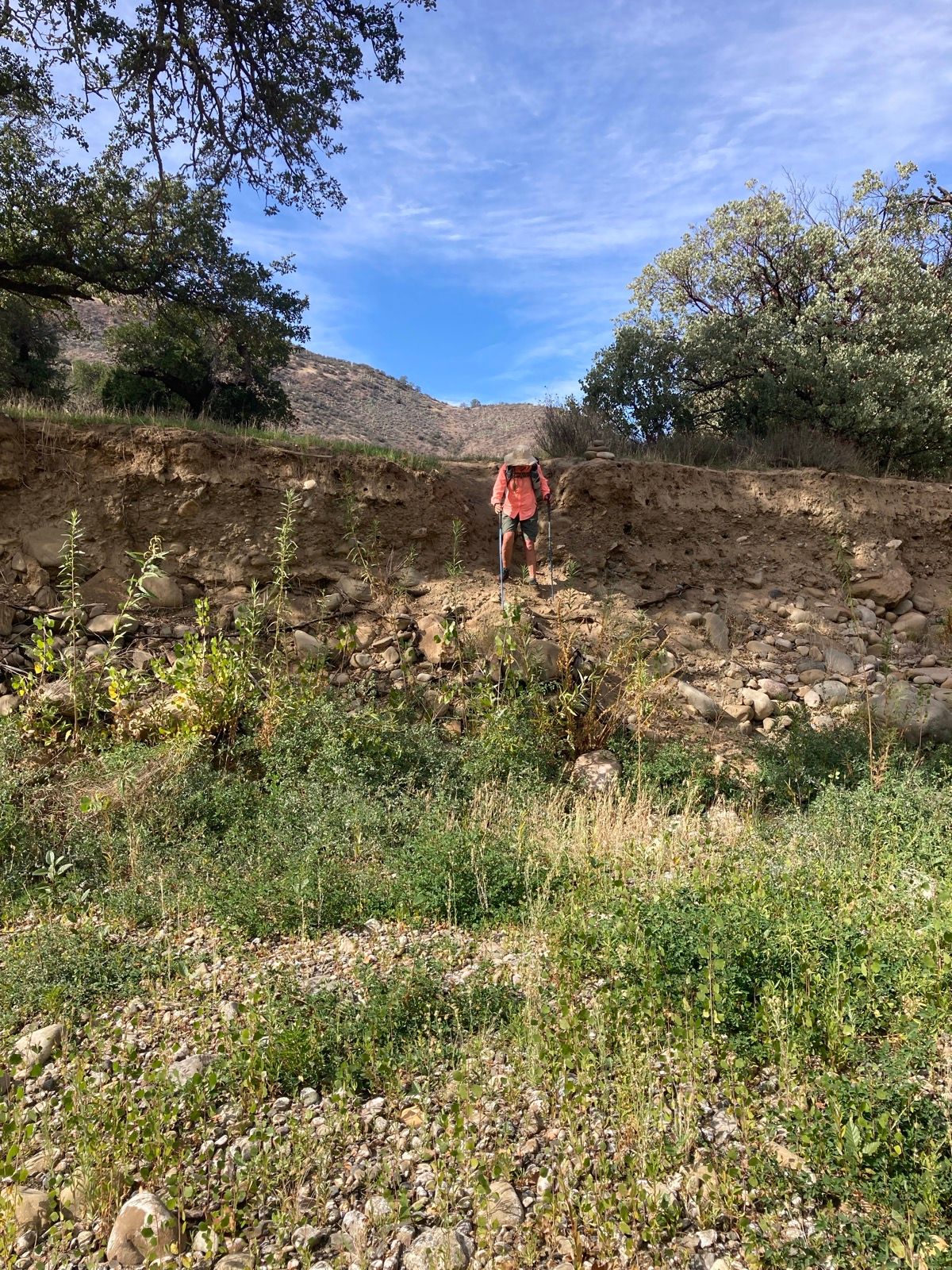
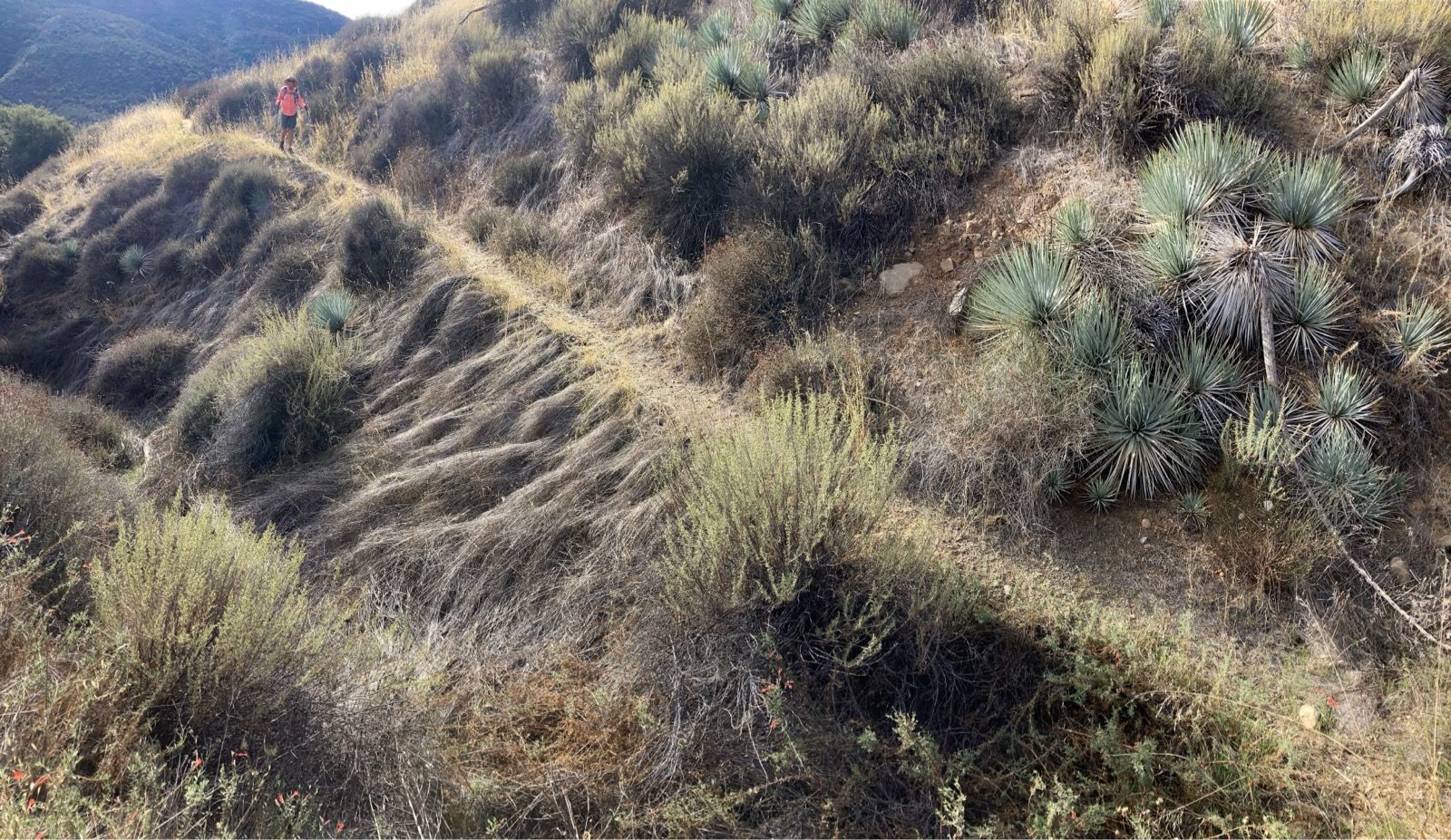
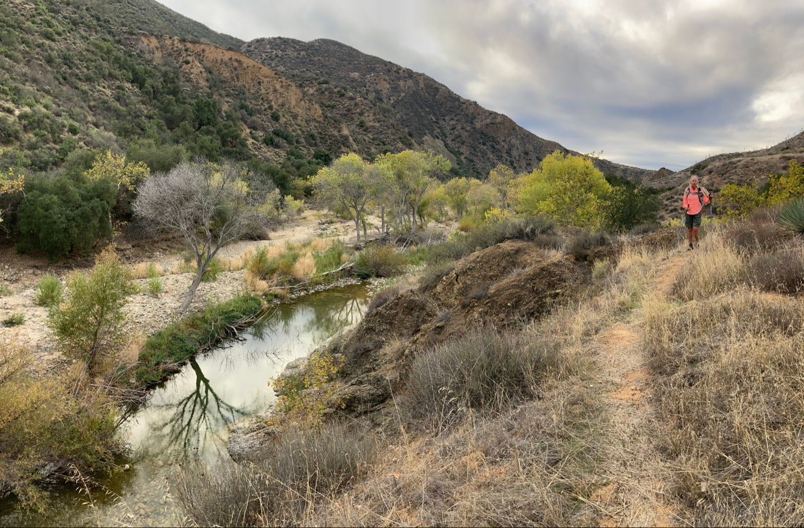
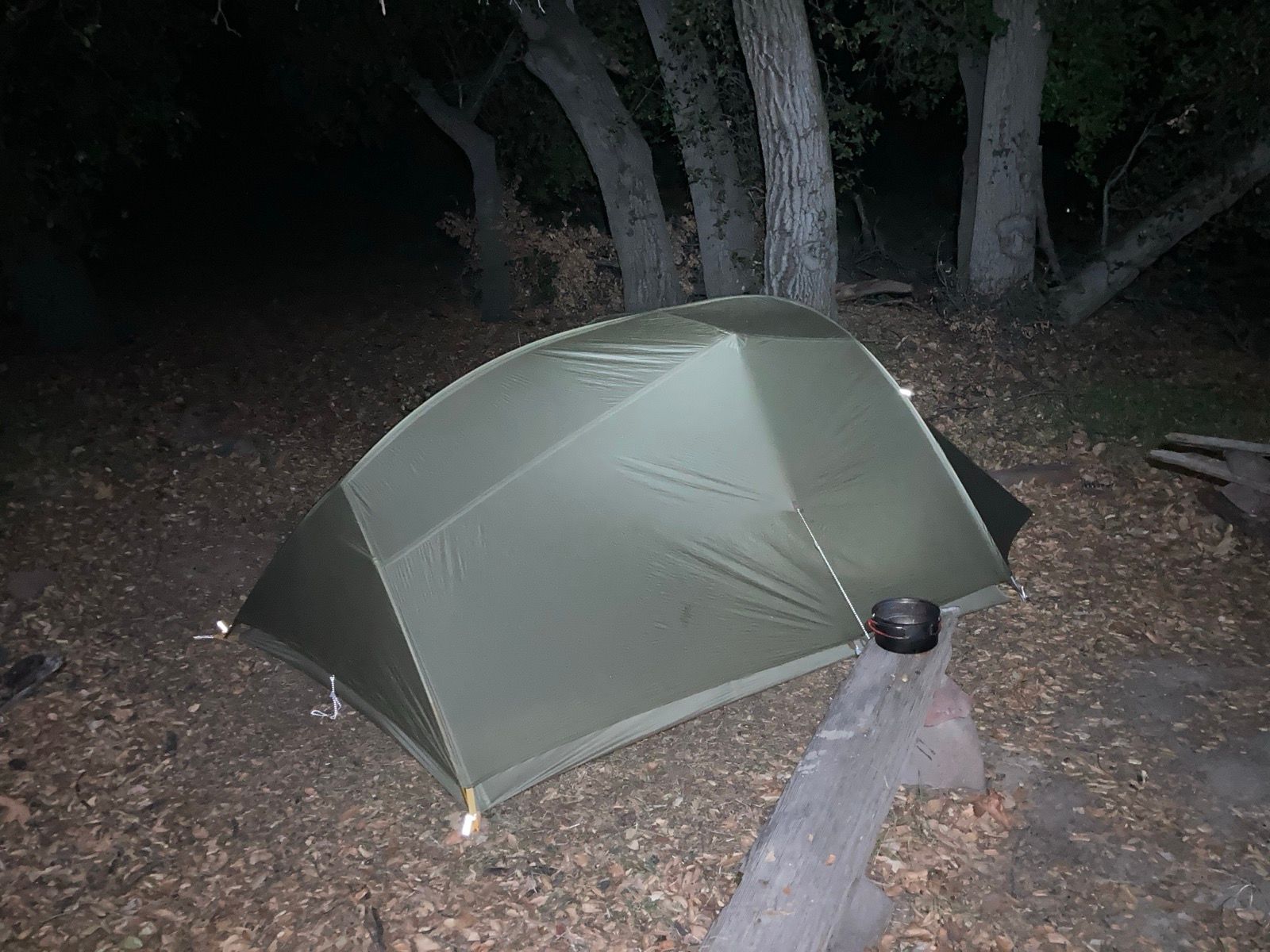
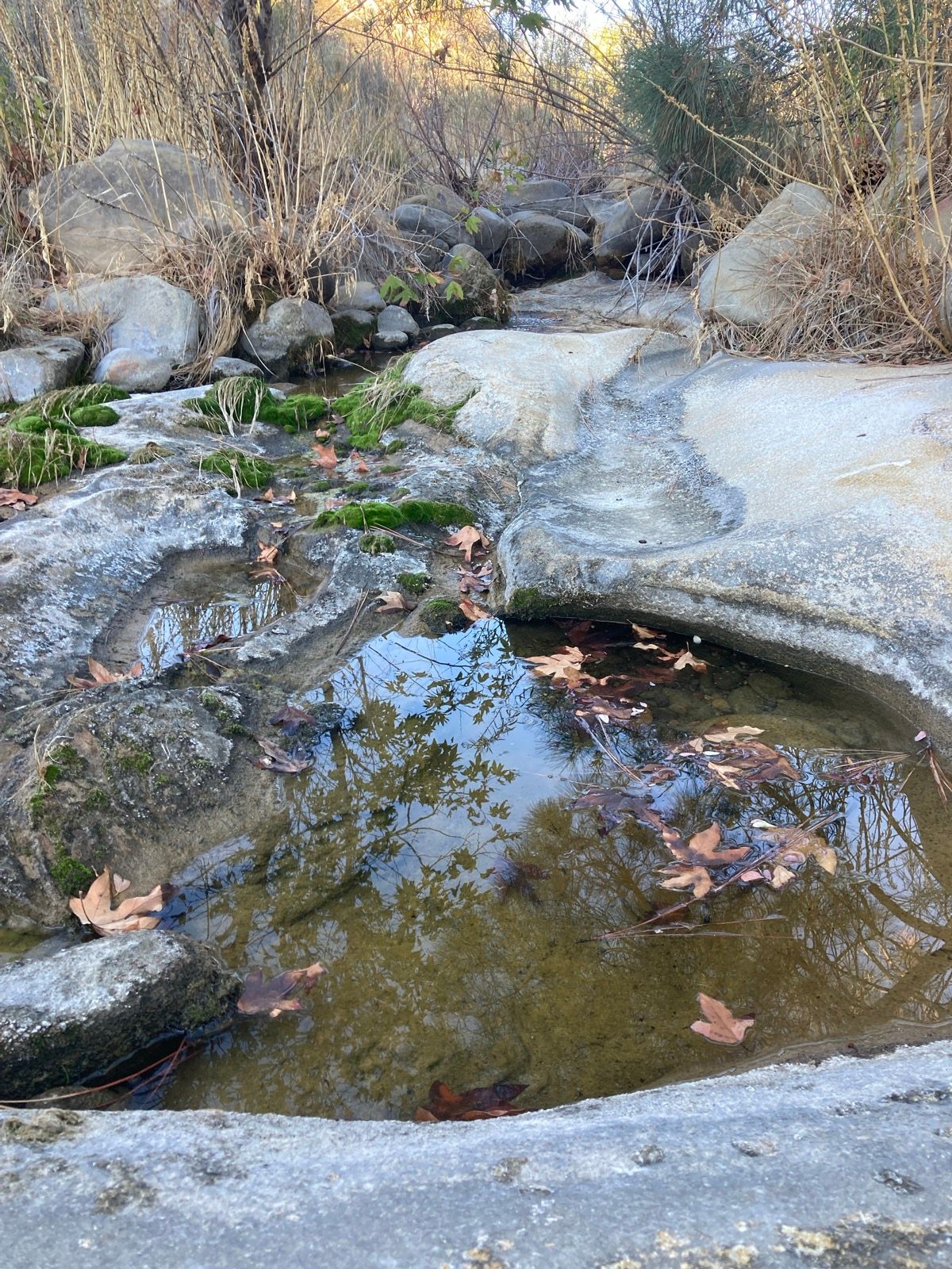
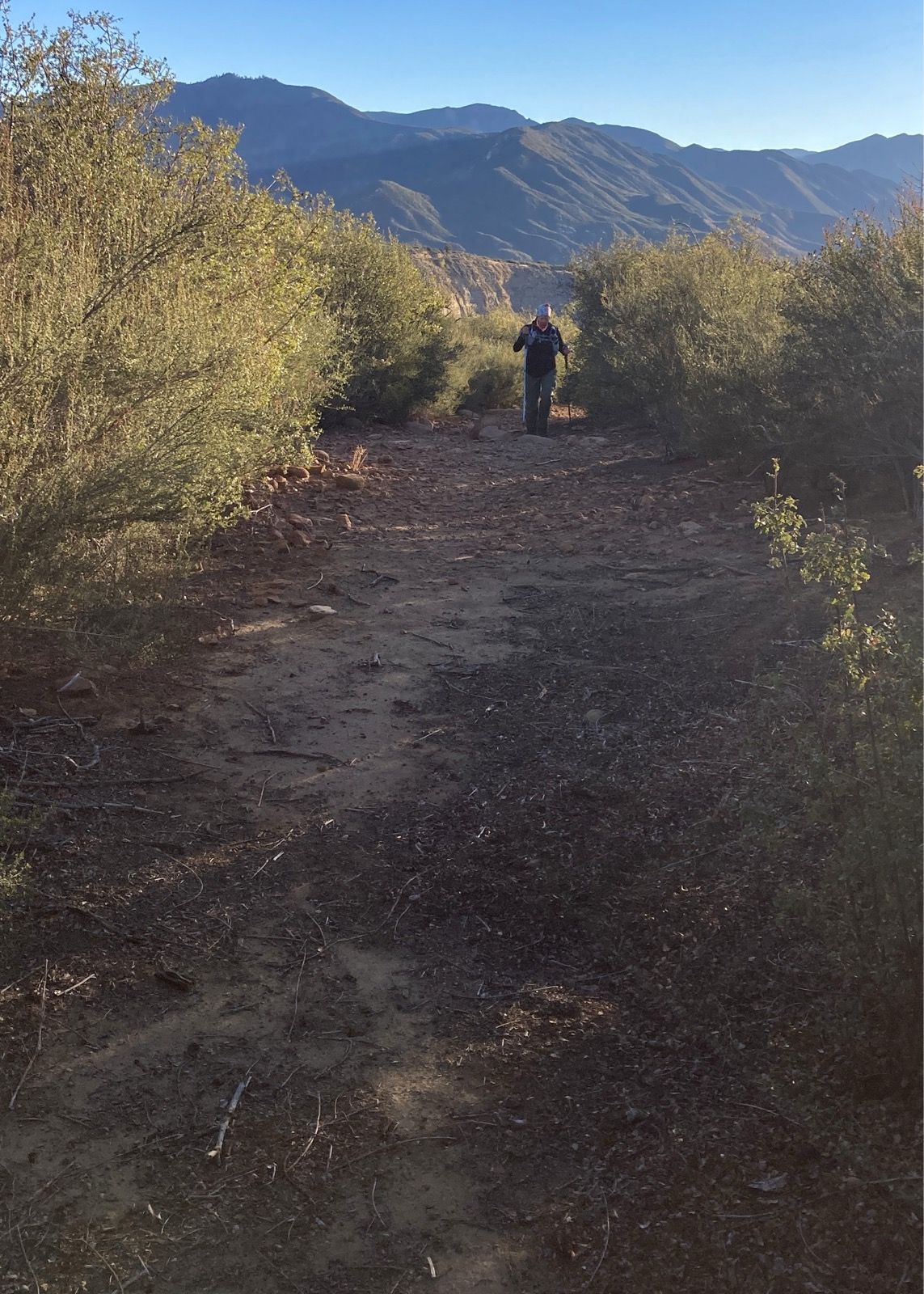
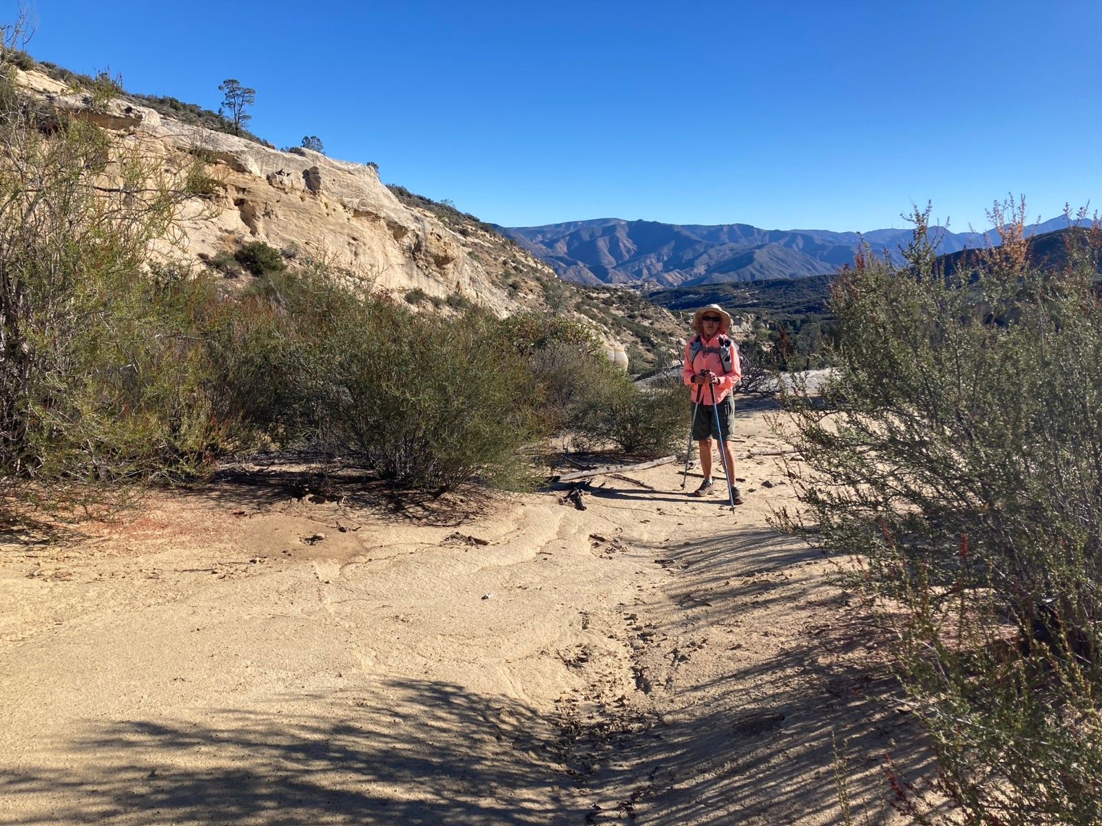
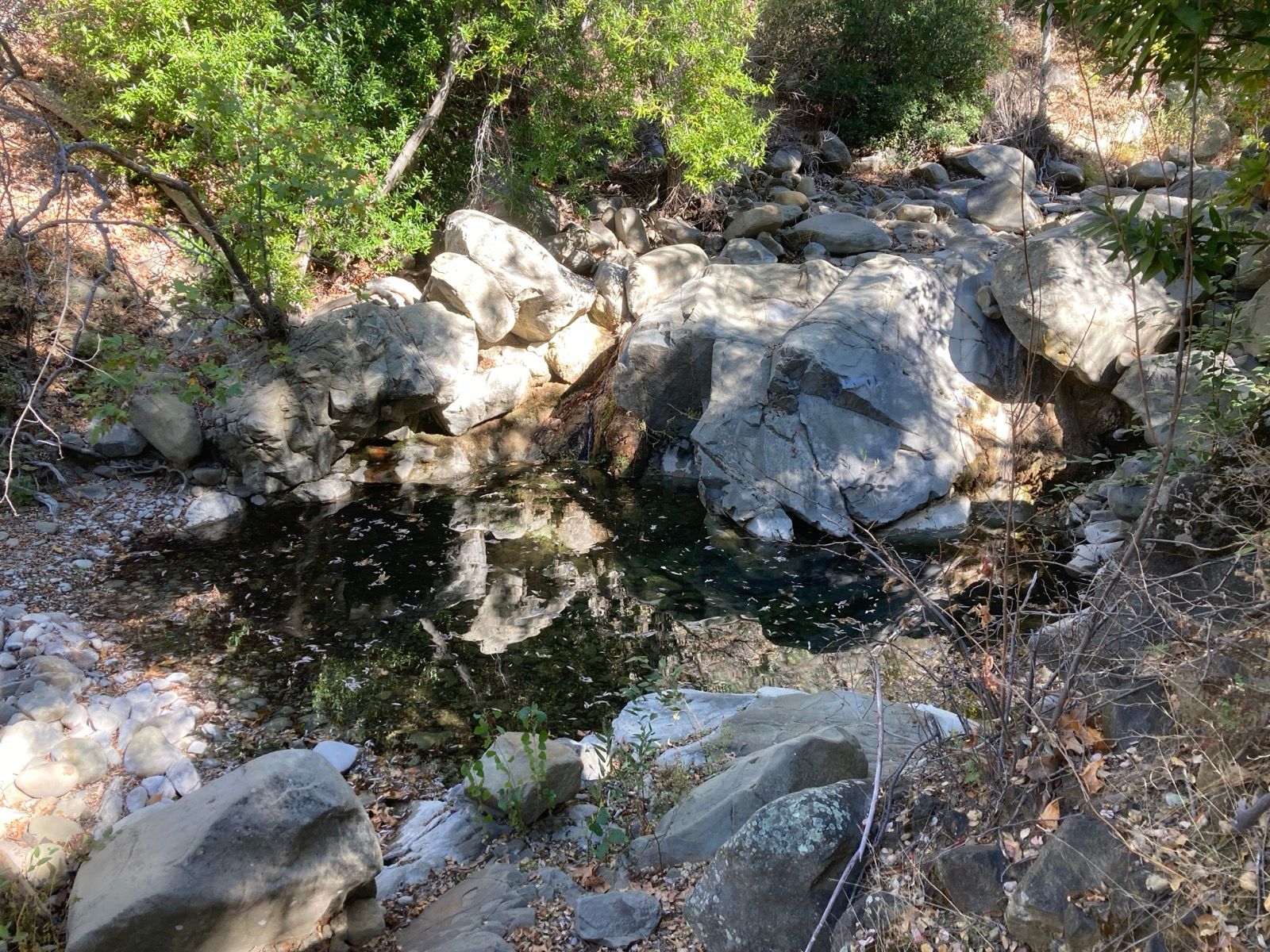
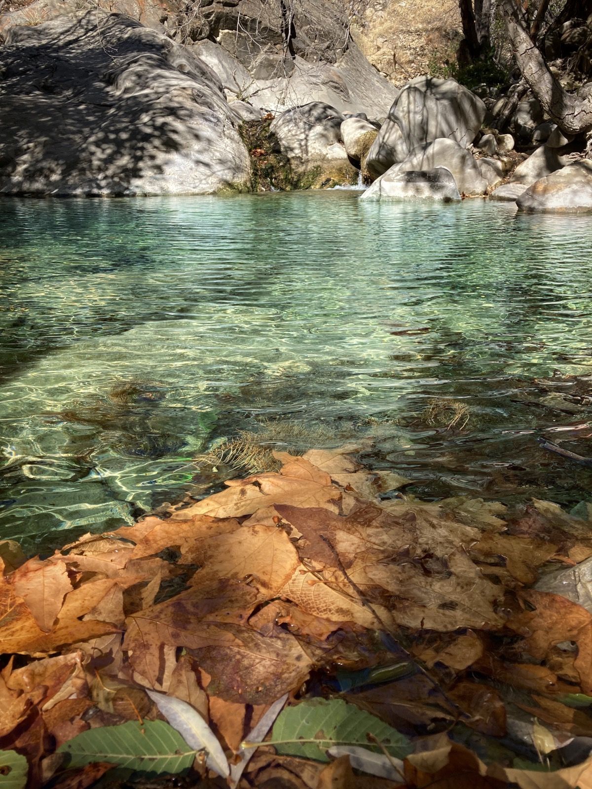
Photos:
Strava Comments:
Janet W.
Ride Stats:
| Elapsed Time | Moving Time | Distance | Average Speed | Max Speed | Elevation Gain | Calories Burned |
|---|---|---|---|---|---|---|
|
03:36:30
hours
|
02:33:13
hours
|
11.85
km
|
12:56
min/km
|
4:32
min/km
|
109.00
meters
|
717
kcal
|
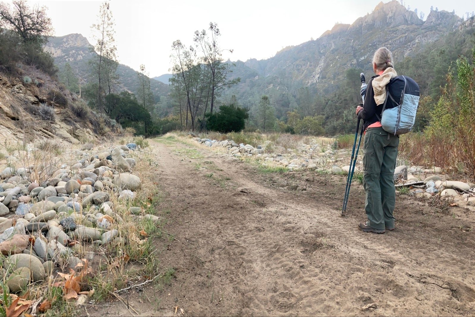
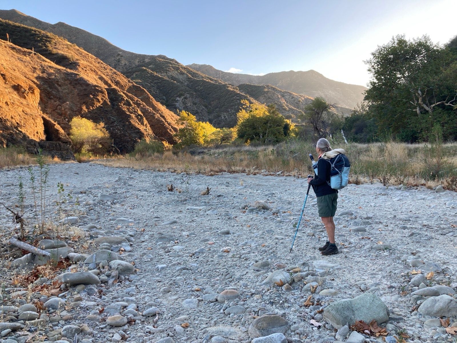
Photos:
Strava Comments:
Janet W.
Bas V.
Janet W.
Paula G.
Ride Stats:
| Elapsed Time | Moving Time | Distance | Average Speed | Max Speed | Elevation Gain | Calories Burned |
|---|---|---|---|---|---|---|
|
10:02:07
hours
|
05:28:37
hours
|
24.92
km
|
13:11
min/km
|
6:47
min/km
|
508.00
meters
|
1,727
kcal
|
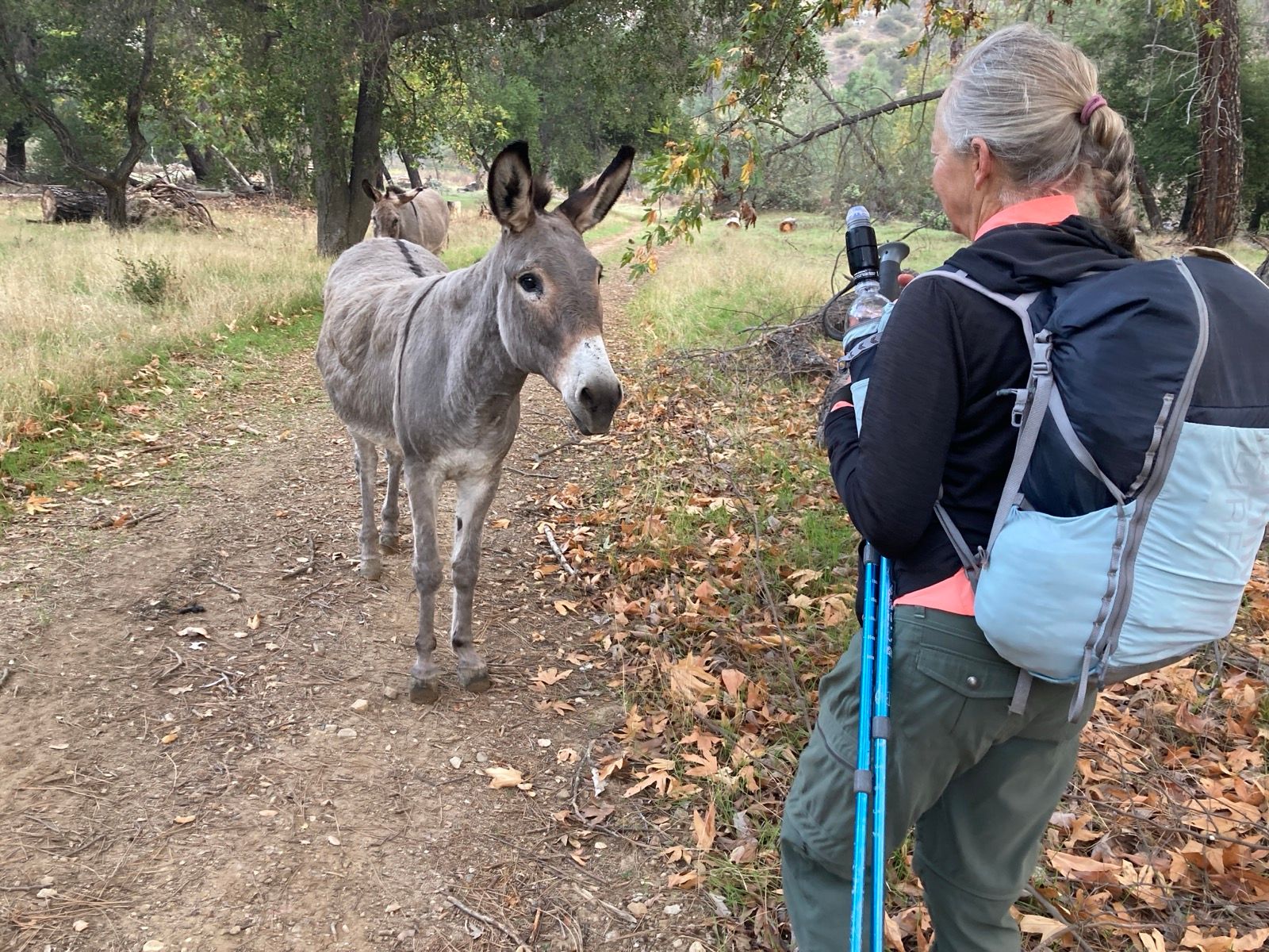
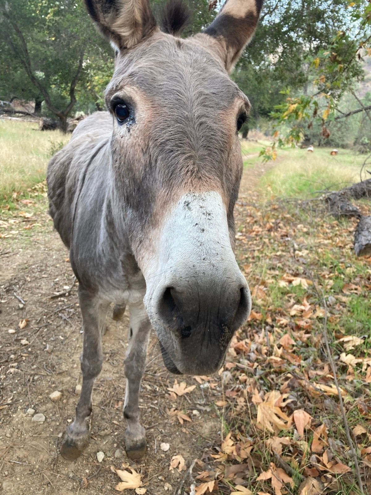
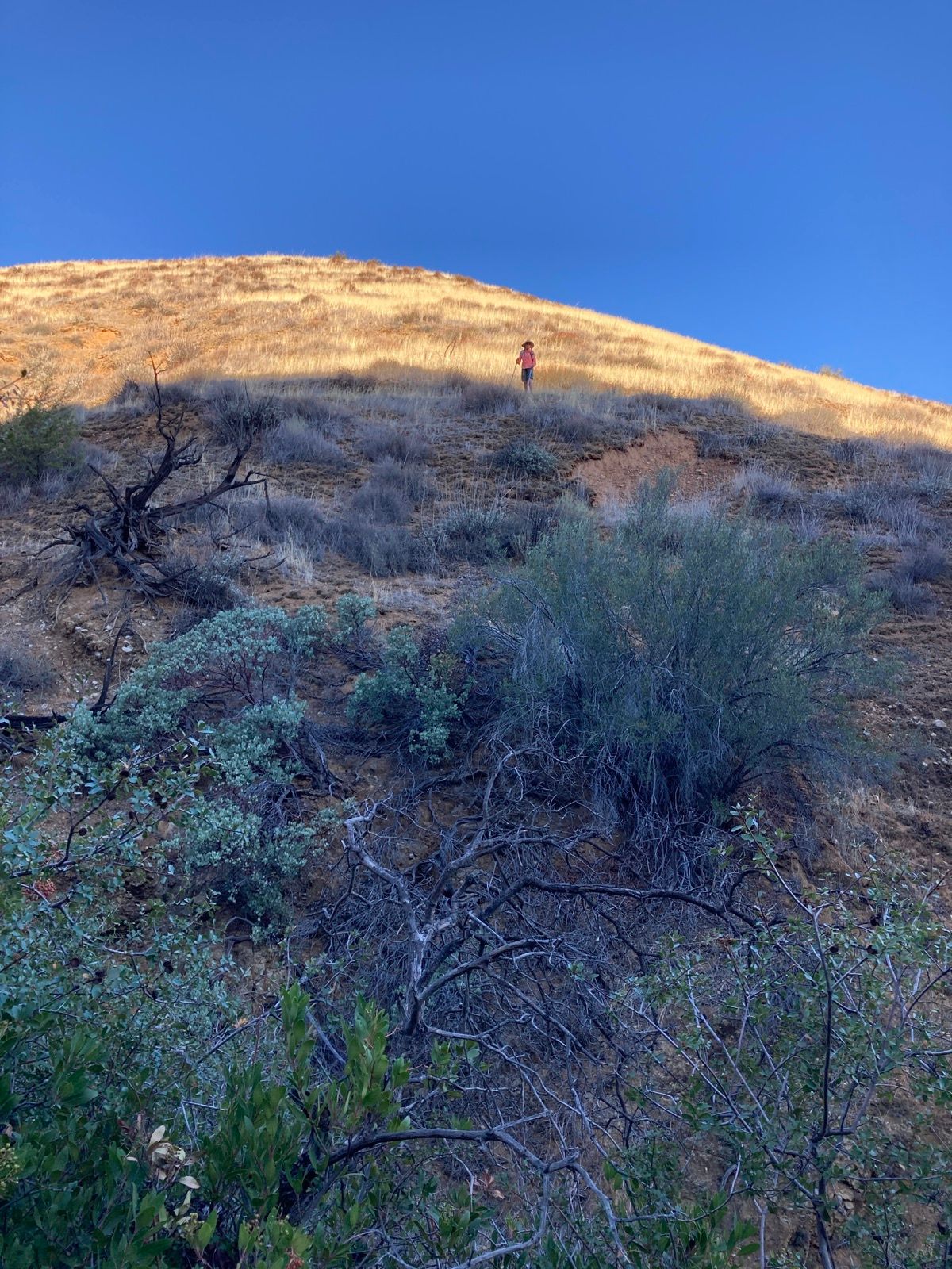
Photos:
Strava Comments:
Janet W.
Nancy P.
Ride Stats:
| Elapsed Time | Moving Time | Distance | Average Speed | Max Speed | Elevation Gain | Calories Burned |
|---|---|---|---|---|---|---|
|
09:11:03
hours
|
04:35:22
hours
|
19.71
km
|
13:58
min/km
|
8:52
min/km
|
703.00
meters
|
1,483
kcal
|
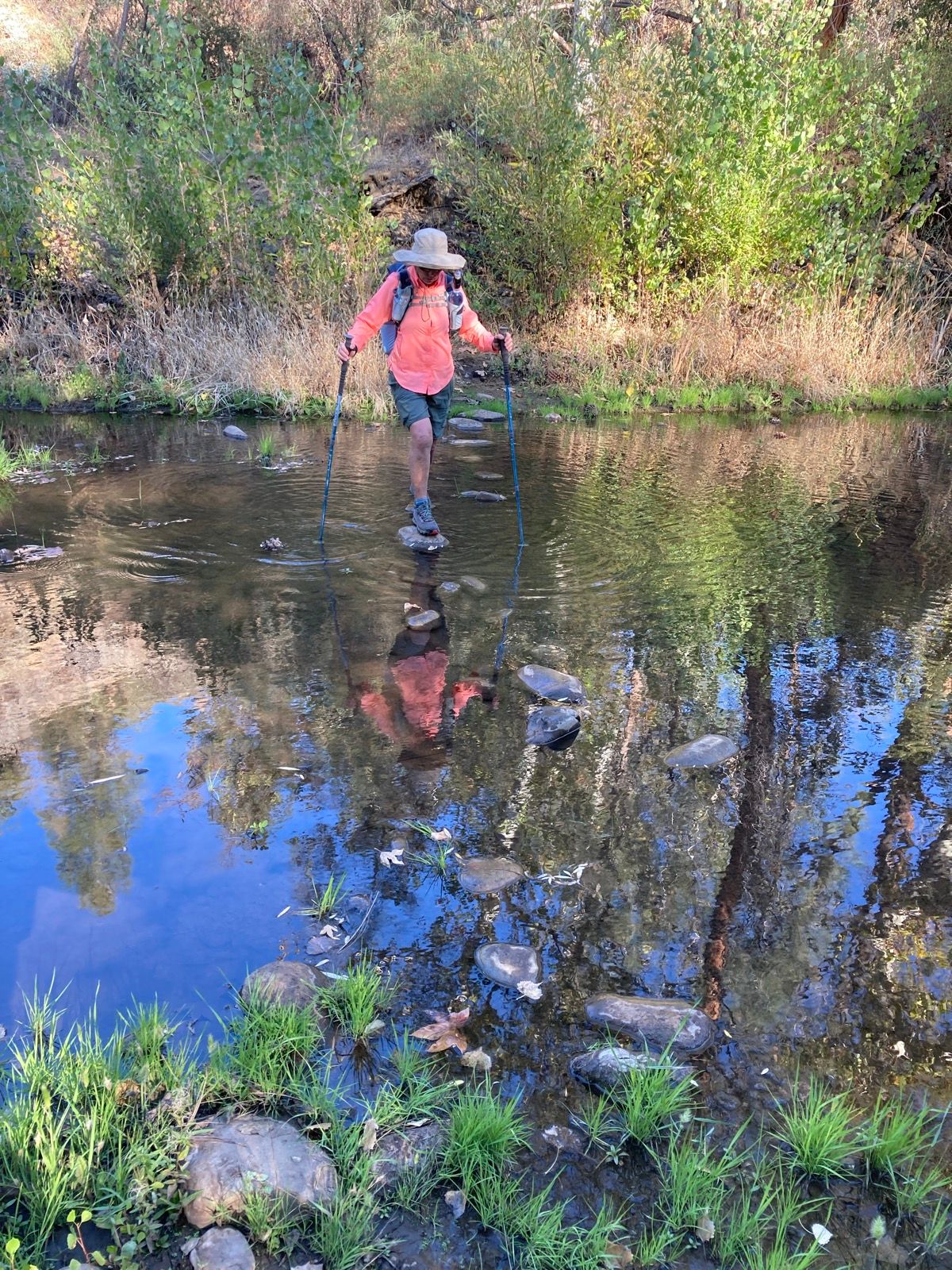
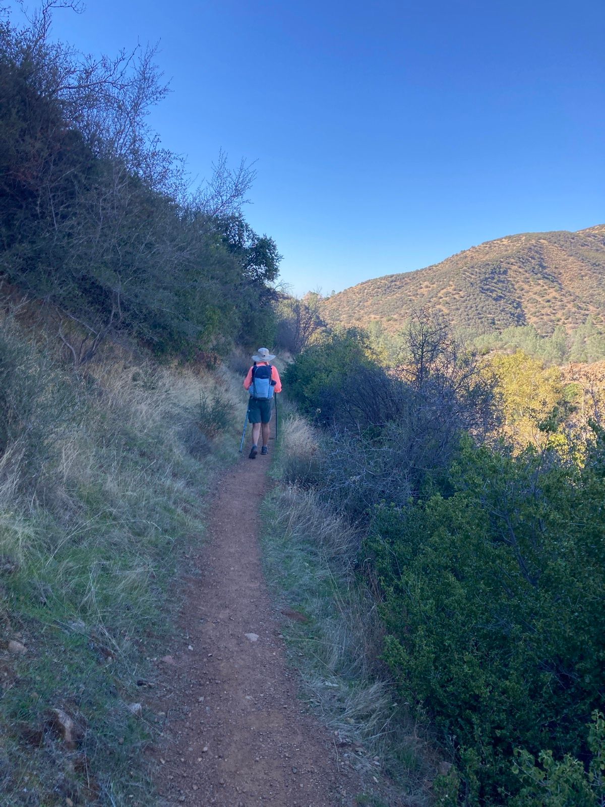
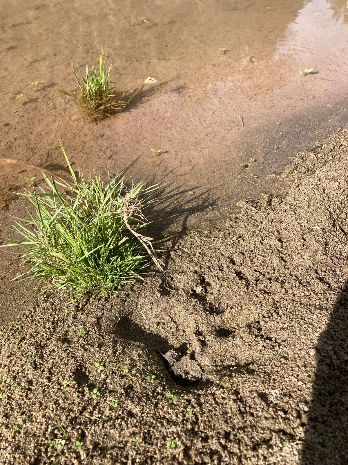
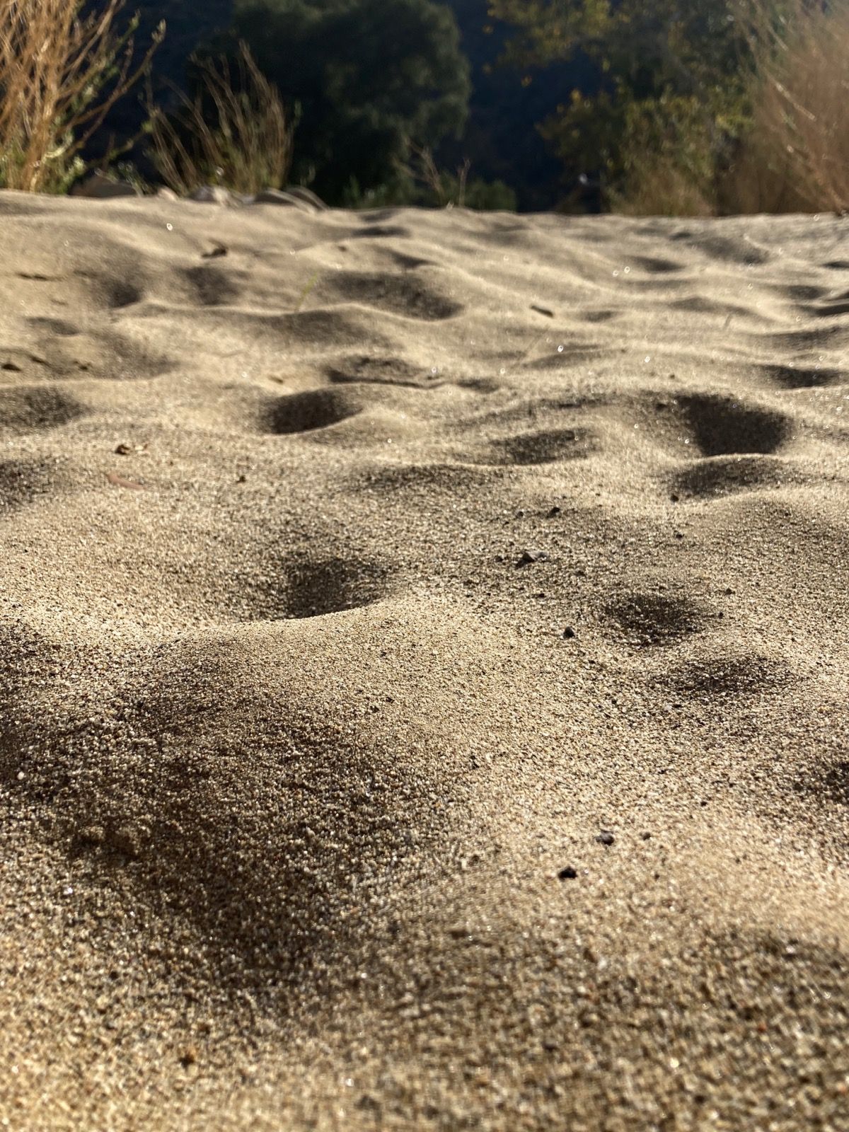
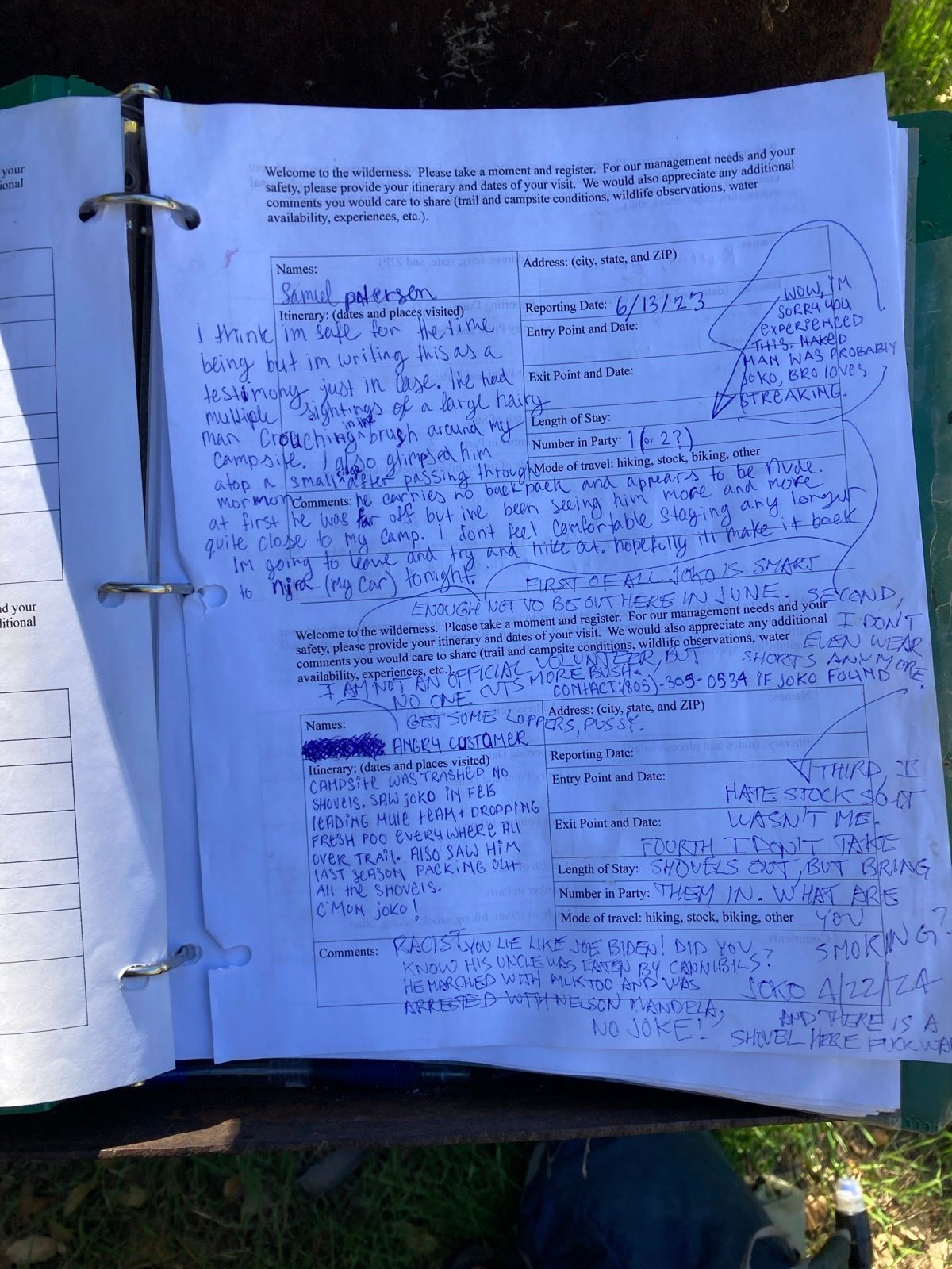
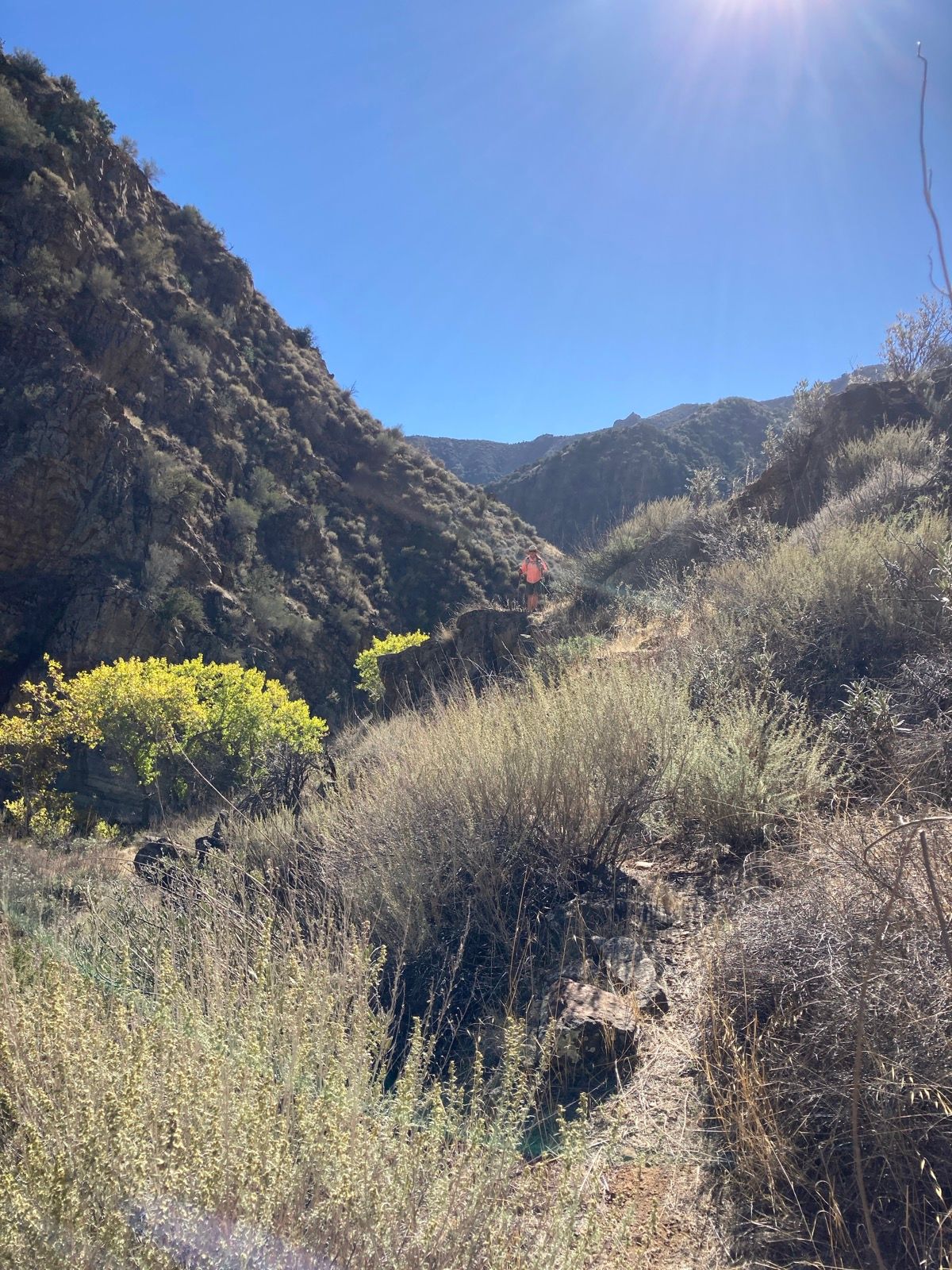
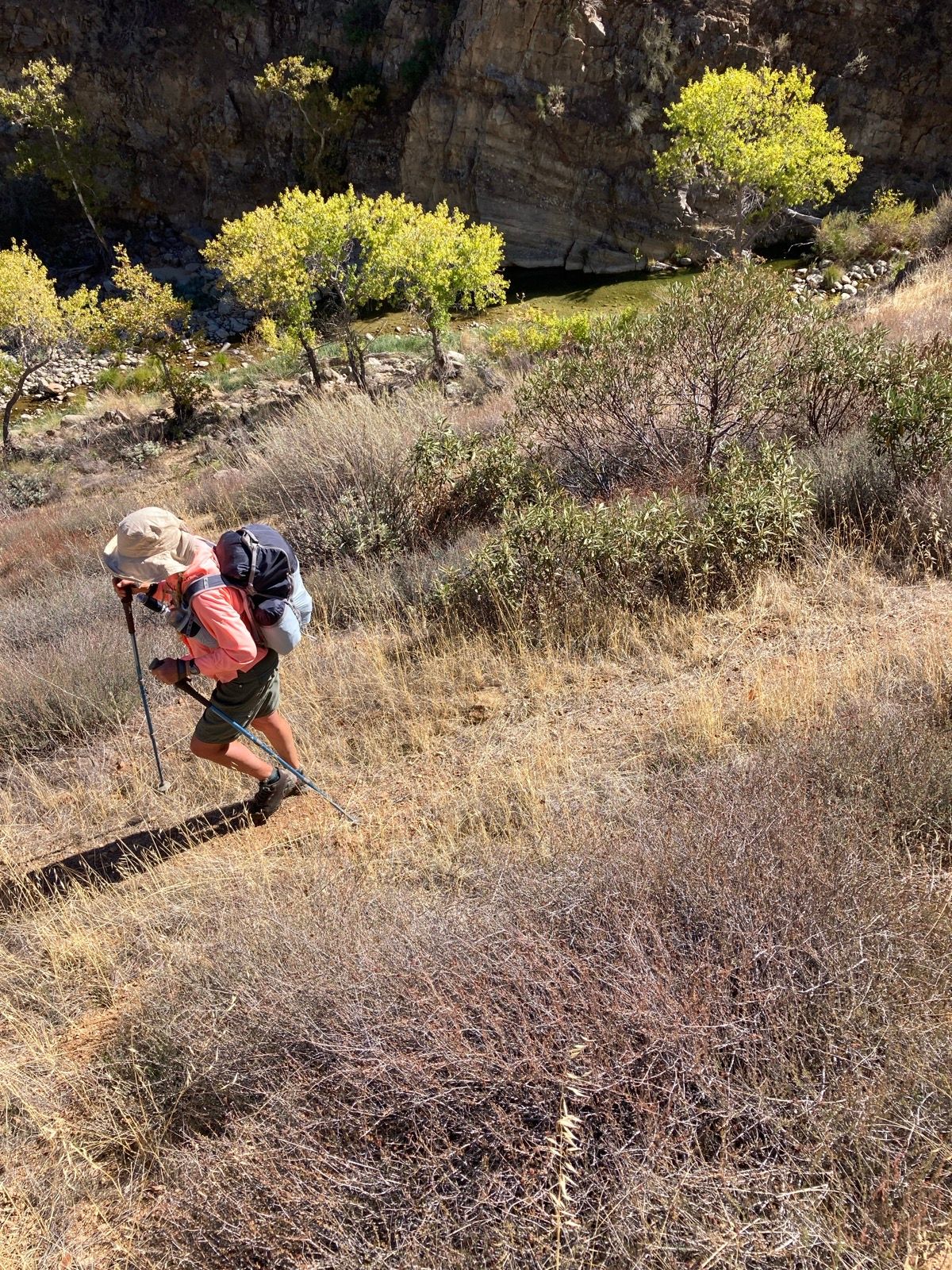
Janet hiked quickly! I think that her training in Peru recently made her very fast on the trail. I had gone to take a peek at "Alcove" camp - and she walked by, getting ahead without me knowing it. I went back and saw her distinctive footprints in the sand.
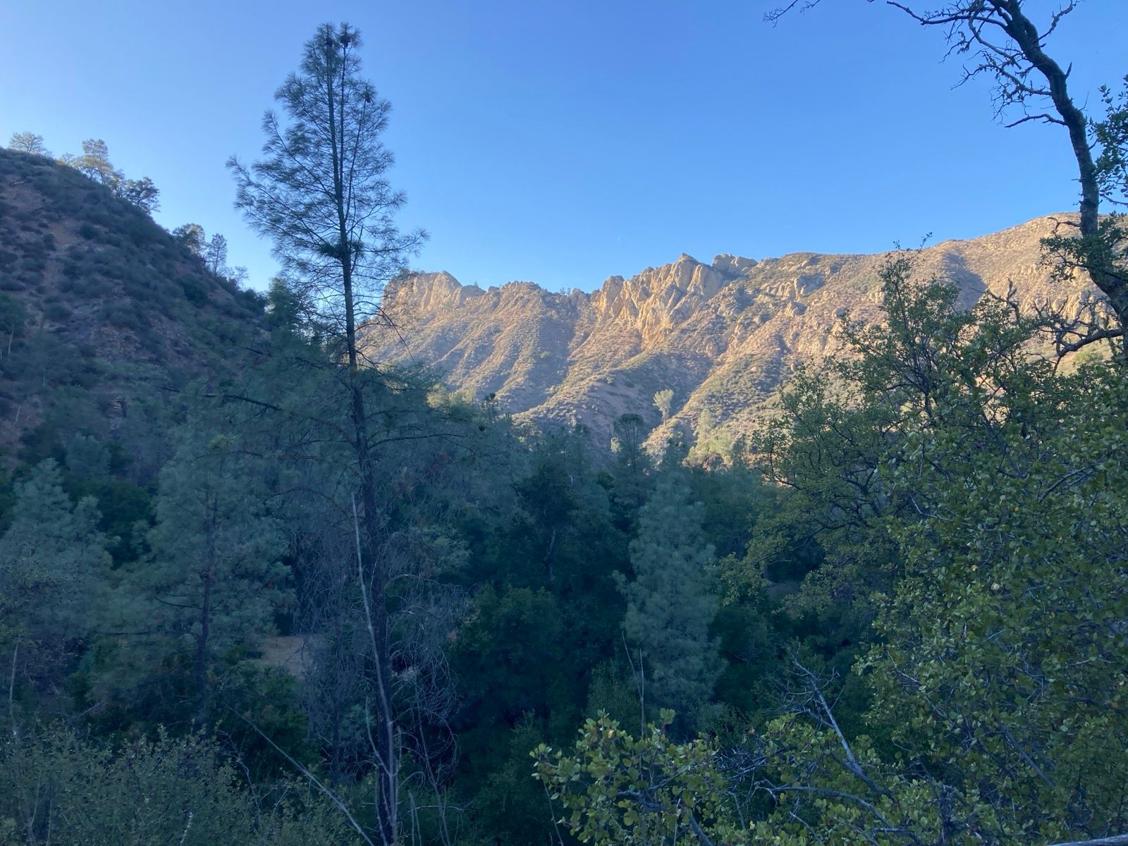
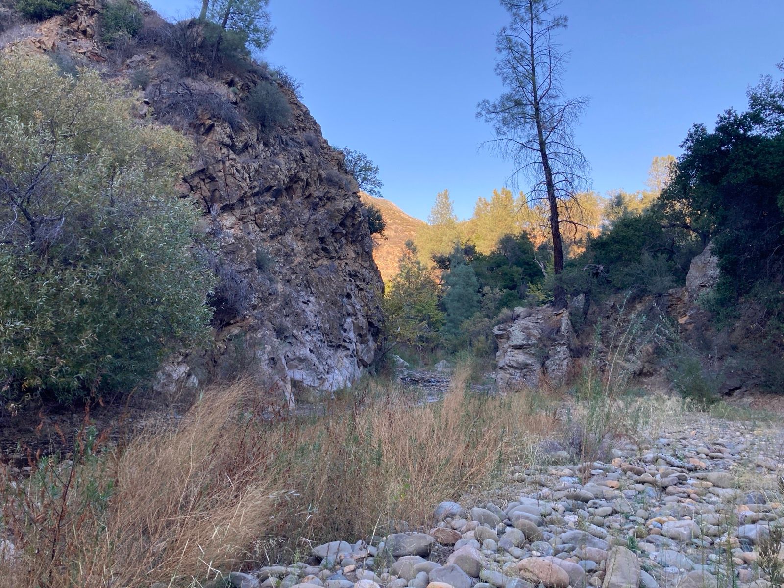
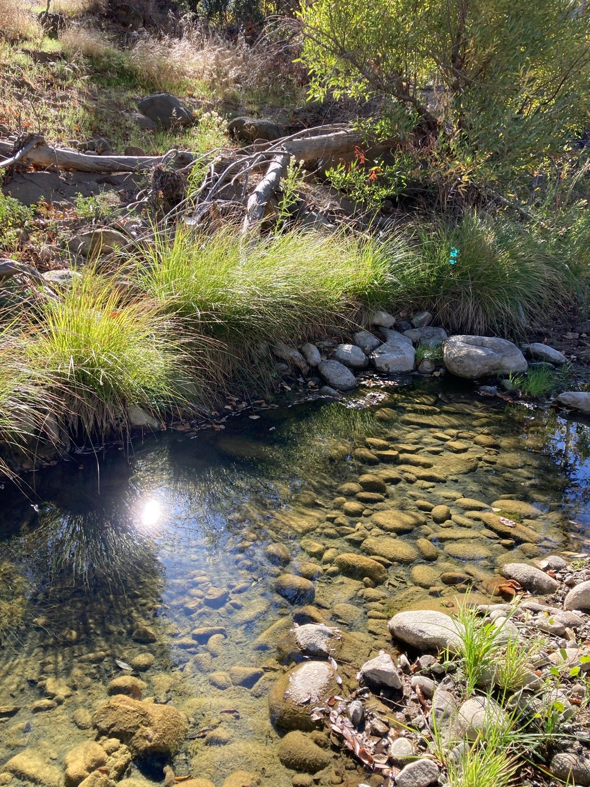
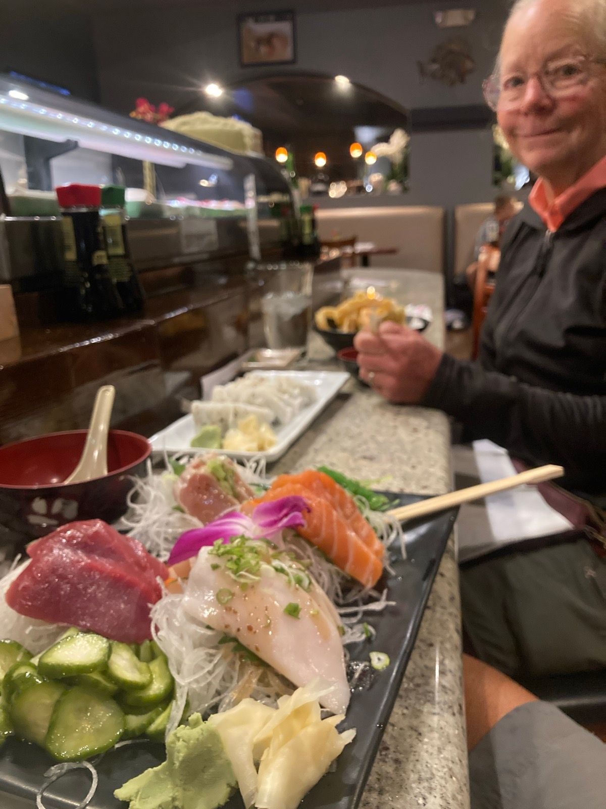
We drove back to go to my niece and nephew’s flag football games… and we got dinner at an excellent Sushi place. The phones ringing and door dash people coming in and the sounds and smells were overwhelming when juxtaposed with the tranquil waterfall noise, leaves rustling in the breeze, or hawks calling - the main sounds we experienced during the 4 day sojourn. Glad we have spaces like this so close to home.
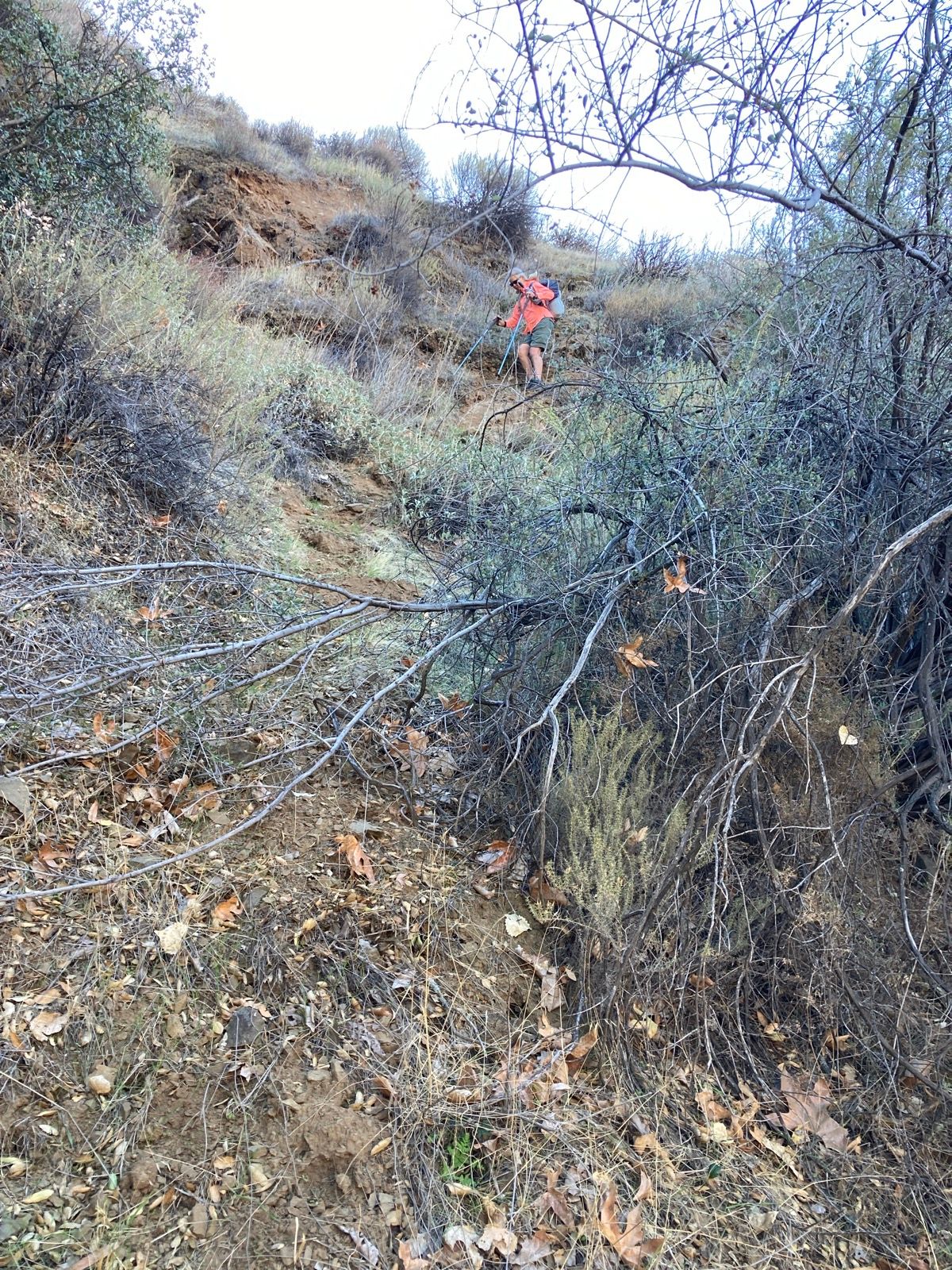
Photos:
Strava Comments:
Janet W.
Ian G.
terri W.
Ride Stats:
| Elapsed Time | Moving Time | Distance | Average Speed | Max Speed | Elevation Gain | Calories Burned |
|---|---|---|---|---|---|---|
|
08:03:37
hours
|
05:36:15
hours
|
25.17
km
|
13:21
min/km
|
4:06
min/km
|
830.00
meters
|
1,680
kcal
|
You may also like...
Type 1 Diabetes Blog
-

When is a carb not a carb? The great fructose experiment.
August 4, 2023
-
-
My Type 1 Diabetes Diagnosis Story
May 31, 2021
-
-
Type 1 Diabetes FAQs – What food do you miss the most?
November 12, 2018
-
Type 1 Diabetes FAQs – You Can’t Eat That, Right?
November 3, 2018
-
Symlin for use in Type 1 Diabetes
October 30, 2018
-
-
-
-
-
-
-


-
August 22, 2017
-
-
August 23, 2015
-
-
Ionian Basin Traverse and Tehipite Gorge
July 17, 2015
-
-
Leor’s Devils Falls and Hellhole Falls Loop
May 16, 2015
-
Little Sur River Fastpack Exploration
November 14, 2015


Highlights
-
February 9, 2024
-
Utah Bikepacking – All The Routes
September 30, 2021
-
Bikepacking Death Valley – Valle de la Muerte
February 12, 2021
-
Wandering the West Bikepack trip
October 23, 2020
-
October 10, 2019
-
October 9, 2018
-
January 12, 2018
-
December 8, 2015


