The Oregon Timber Trail
This is the map for the entire route discussed in this post. To Export GPX files, click on the three horizontal bars in the upper right hand corner of the map and select Export selected map data... To see full screen, click here (opens in new window)
The Oregon Timber Trail is a fantastic bike packing route that traverses the state of Oregon from North to South. The recommended riding direction is South to North (and I agree). Like many of the routes we have been doing lately, it is not our own invention, but instead an EXTREMELY WELL DOCUMENTED route with a 91 page guide for the year 2018. Some people ask, “91 pages!?” – But within the guide there are sections about the history of the area, great photos, and bios on the people who worked together to make this possible. To get the OTT guide, click here. Note that you need to “sign up” to receive it. This allows the OTT alliance to get an idea of who is interested in the route. At each resupply (except for Chemult and Sisters), people we met were very knowledgeable and enthusiastic about the OTT. People in Paisley, Silver Lake, Oakridge, Idhana, and Parkdale all asked us what they could do to make the OTT experience even better. These small communities benefit from tourism, and really seemed to love having bike-packers come through. Feeling so warmly welcomed in each of these communities contributed very positively to our overall enjoyment of the route.
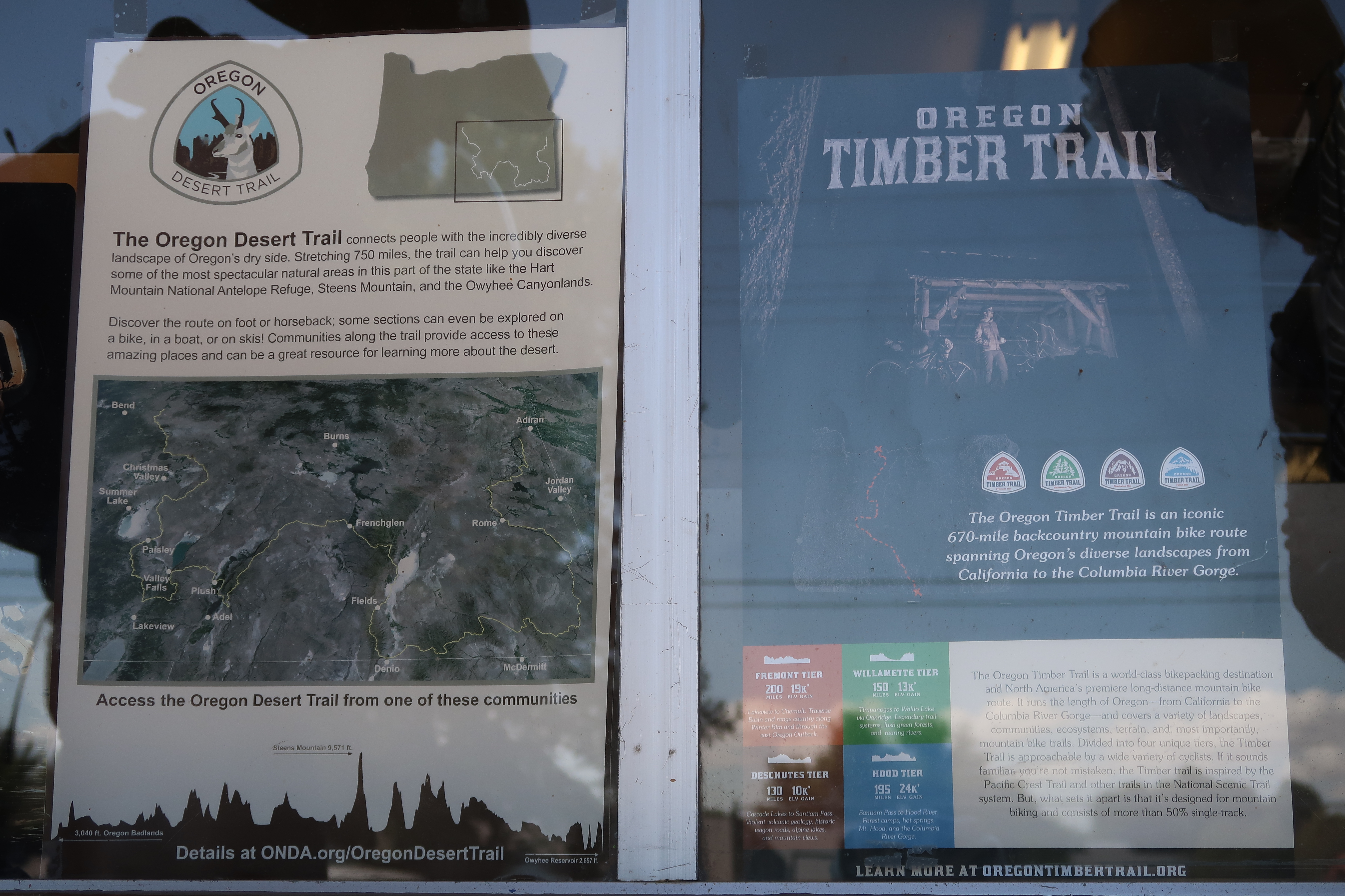
In the window of the store in Paisley, a flyer for the Oregon Timber Trail! Yeah, these guys support OTT. Also, inside, they had a book for us to sign where we could see entries of other OTT riders before us. Having log books at the critical resupply points gave us the sense that we were doing something big and we were part of a community of people who had passed through before us.
We first heard about the Oregon Timber Trail shortly before doing the Idaho Hot Springs Loop. The route had been published for about a year, and only a few people had done it. We decided to wait until a few more people had ridden it, and for the best weather (which I had scoped out to be September based on climatological data). The waiting worked out perfectly. We got one day of rain, and managed to skirt most of the summer fire smoke. We finished the day of the first significant rain. Also, as the summer went by, we were able to get reports of trail conditions on the Oregon Timber Trail Facebook Page. On that page, we kept tabs on the Watson Creek Fire, and we also learned about minor changes to the 2018 route. Furthermore, we learned about Yamsay Mountain – and how frustratingly hard it was. In July, Gabriel Amadeus posted an alternative route to Yamsay Mountain which we decided to follow.
We took the Yamsay Mountain Alternative – which was all quiet dirt roads. It turned out to be very enjoyable and we only saw 2 cars along the whole route!
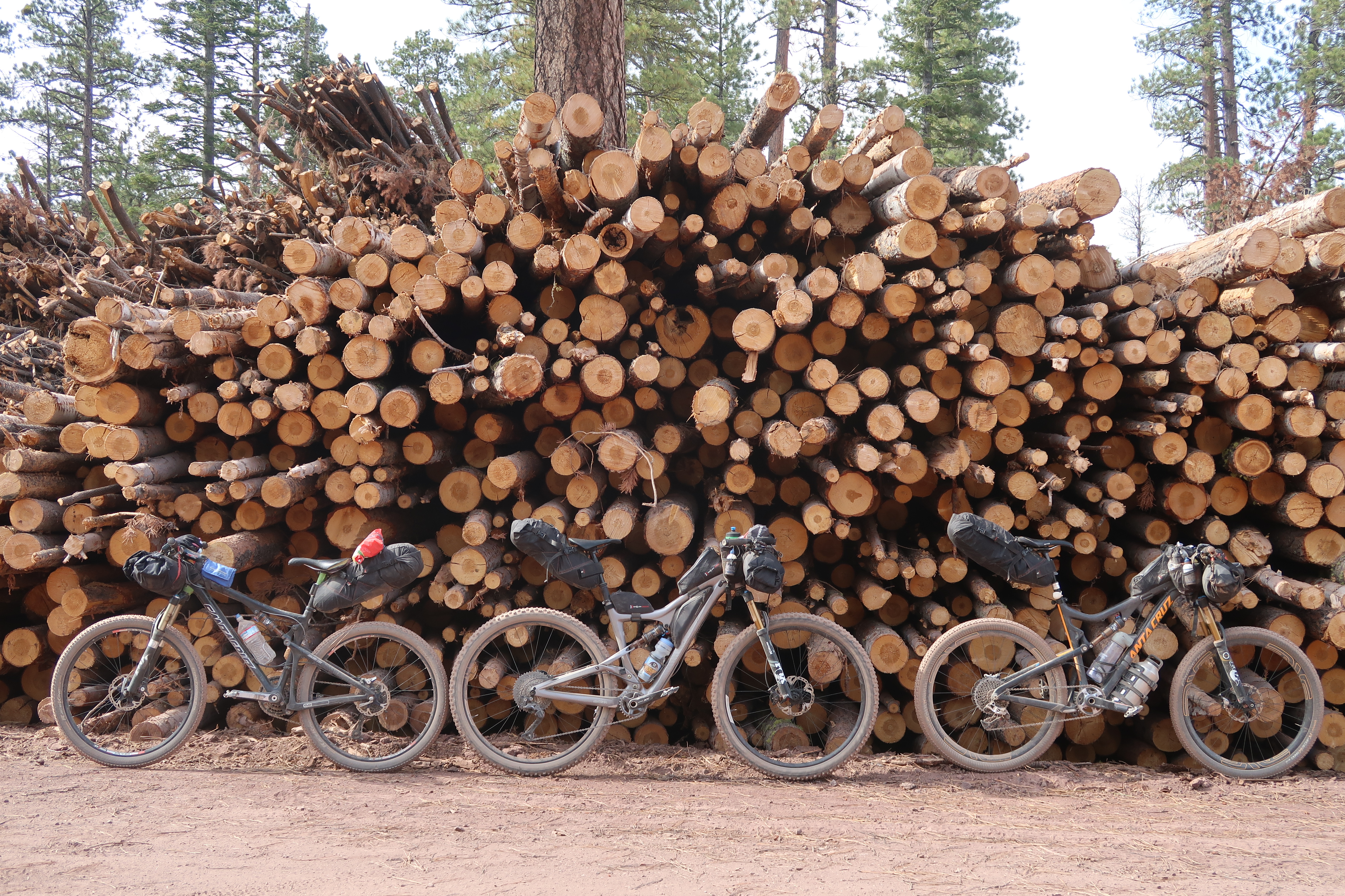
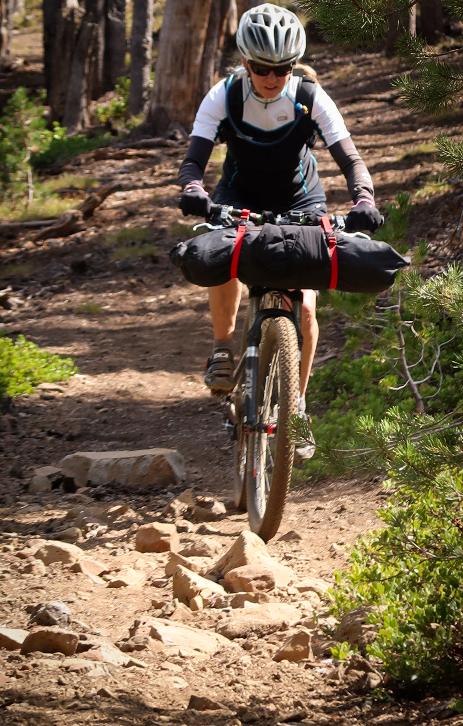
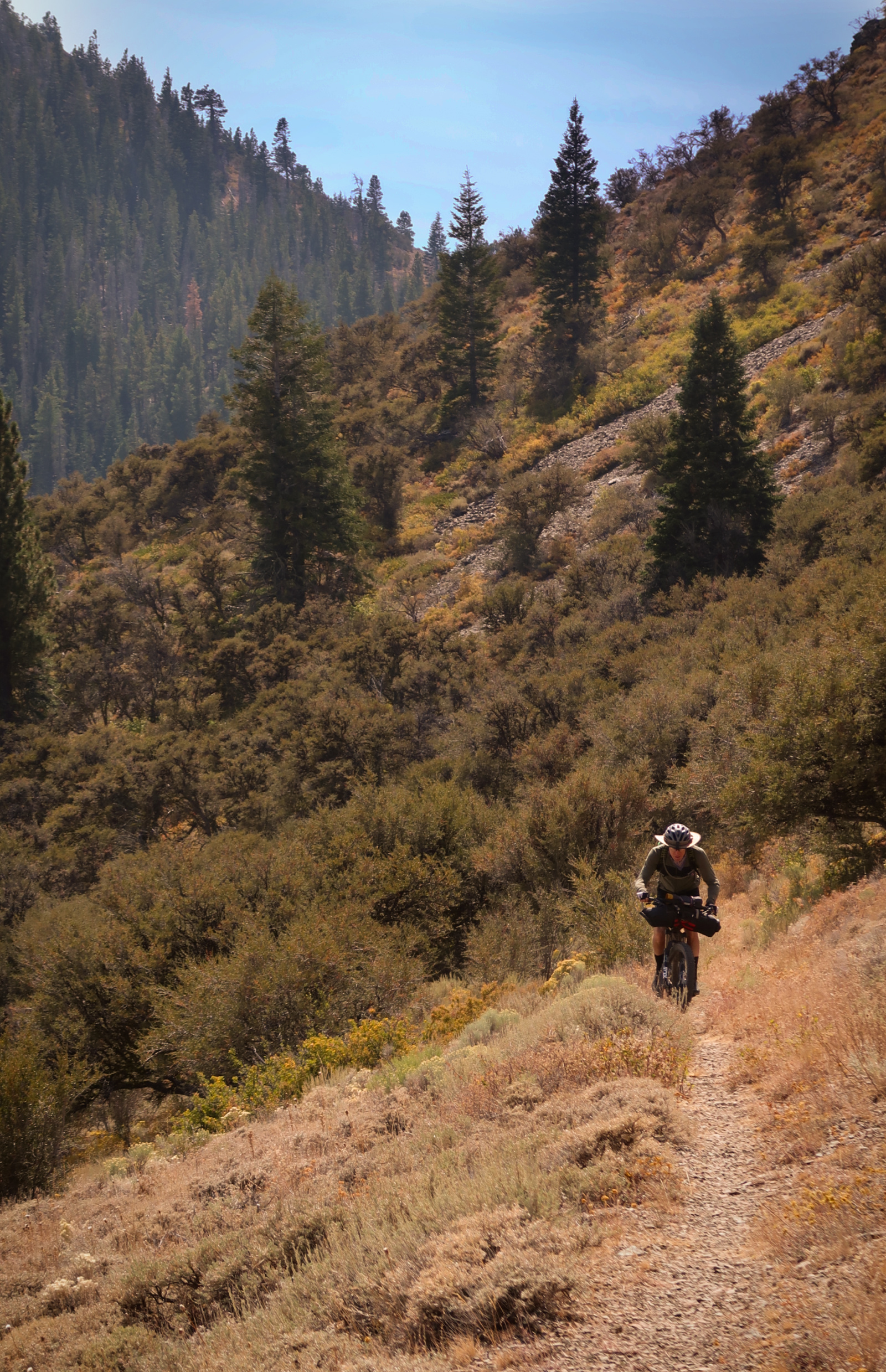
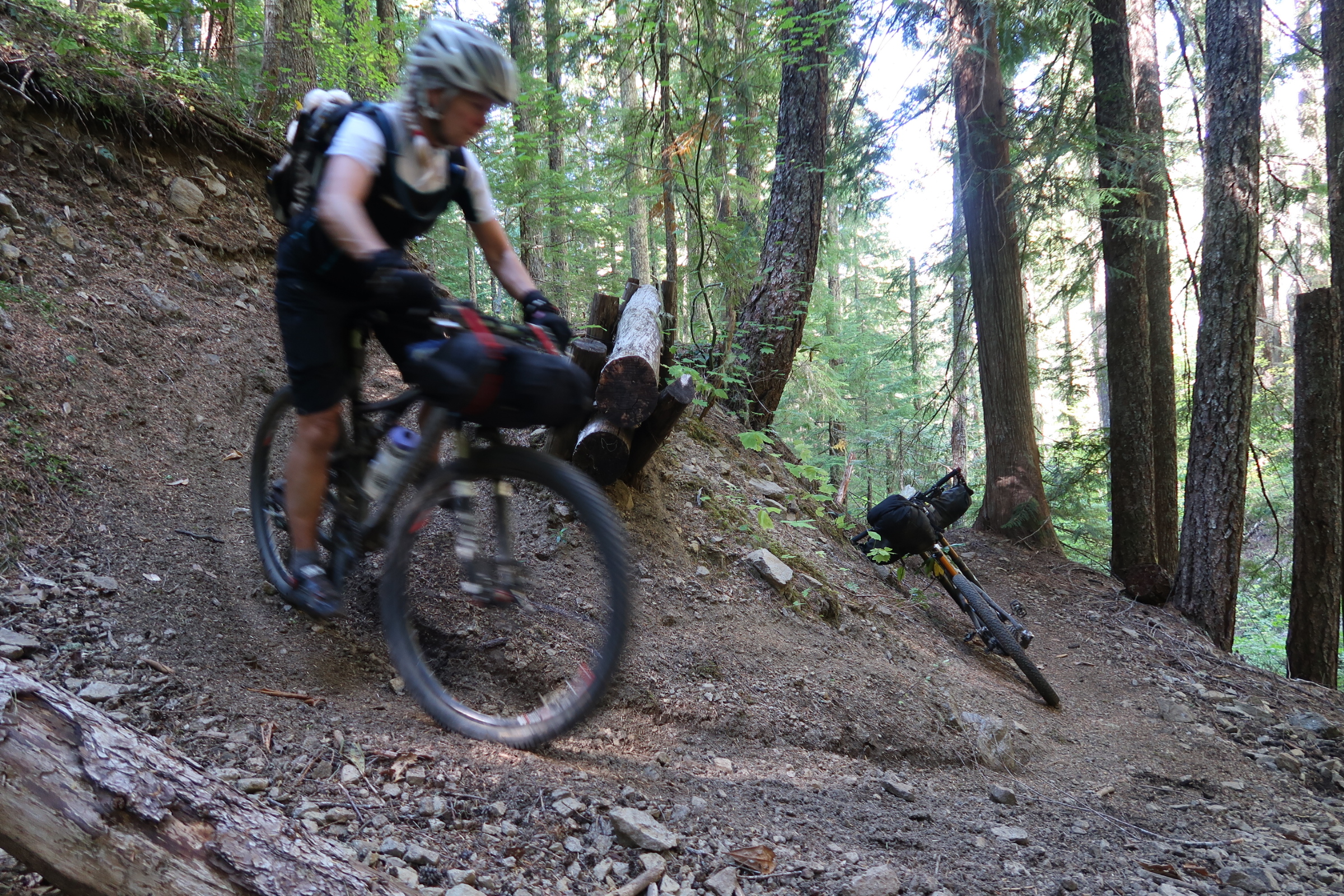
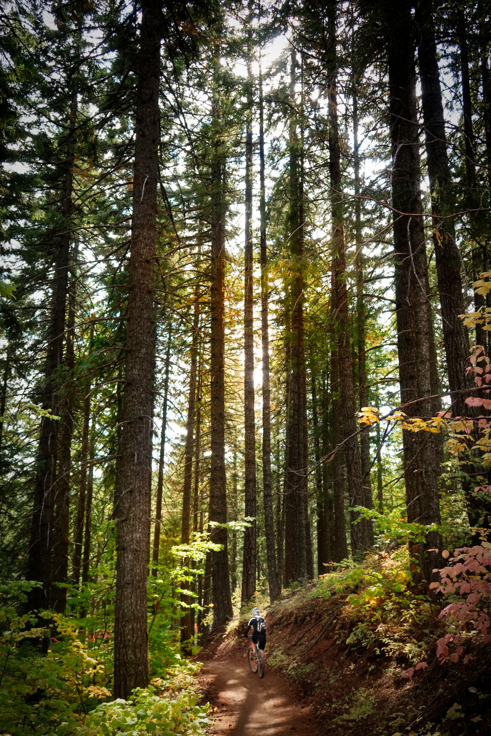
One thing that is special about the Oregon Timber Trail route over other bike packing routes we have done lately is the high quantity of good quality single track. I have mixed feelings about single track for bike packing. On an unloaded bike, single track is just fun. On a loaded bike, it is a little less fun. Sometimes, at the end of the day, we would find ourselves looking forward to some forest service roads over single track because you can let loose a little on that razor sharp focus you need to safely ride some of these narrow single tracks. I think that the best way to enjoy the Oregon Timber Trail is to allocate about 25 days (a little more or a little less, depending on your skill level). That may seem like a lot of time for 660 miles – but you need to know that several of the resupply points are off of the official route, adding quite a few miles to your ride.
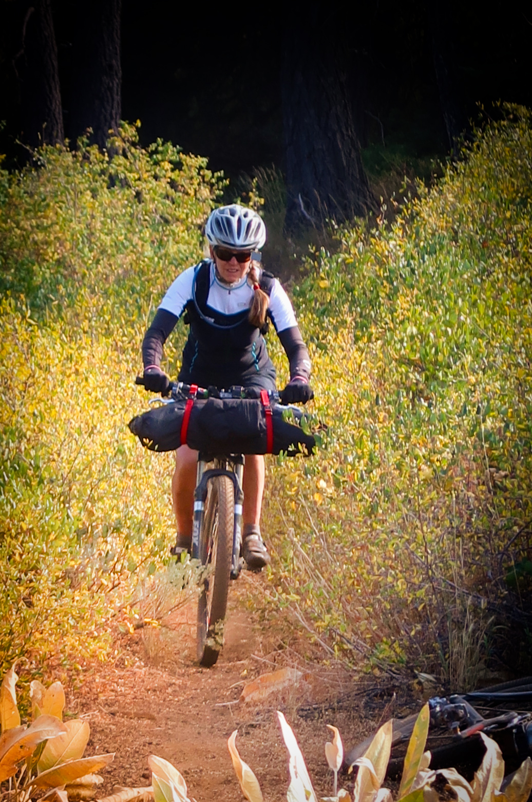
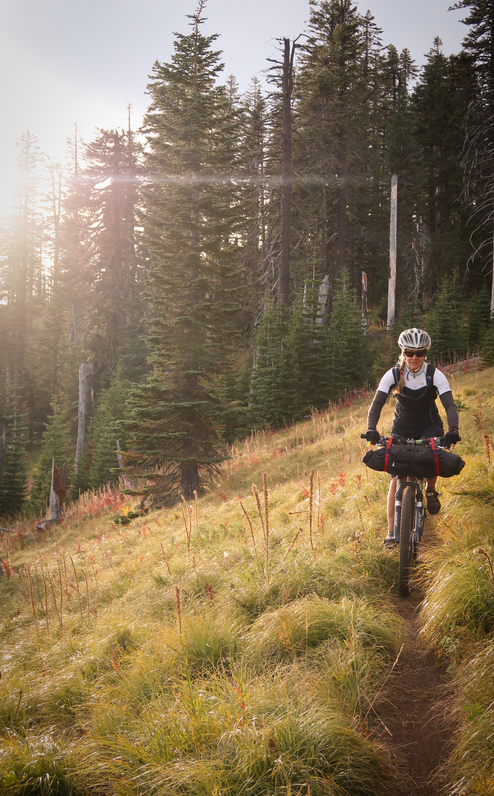
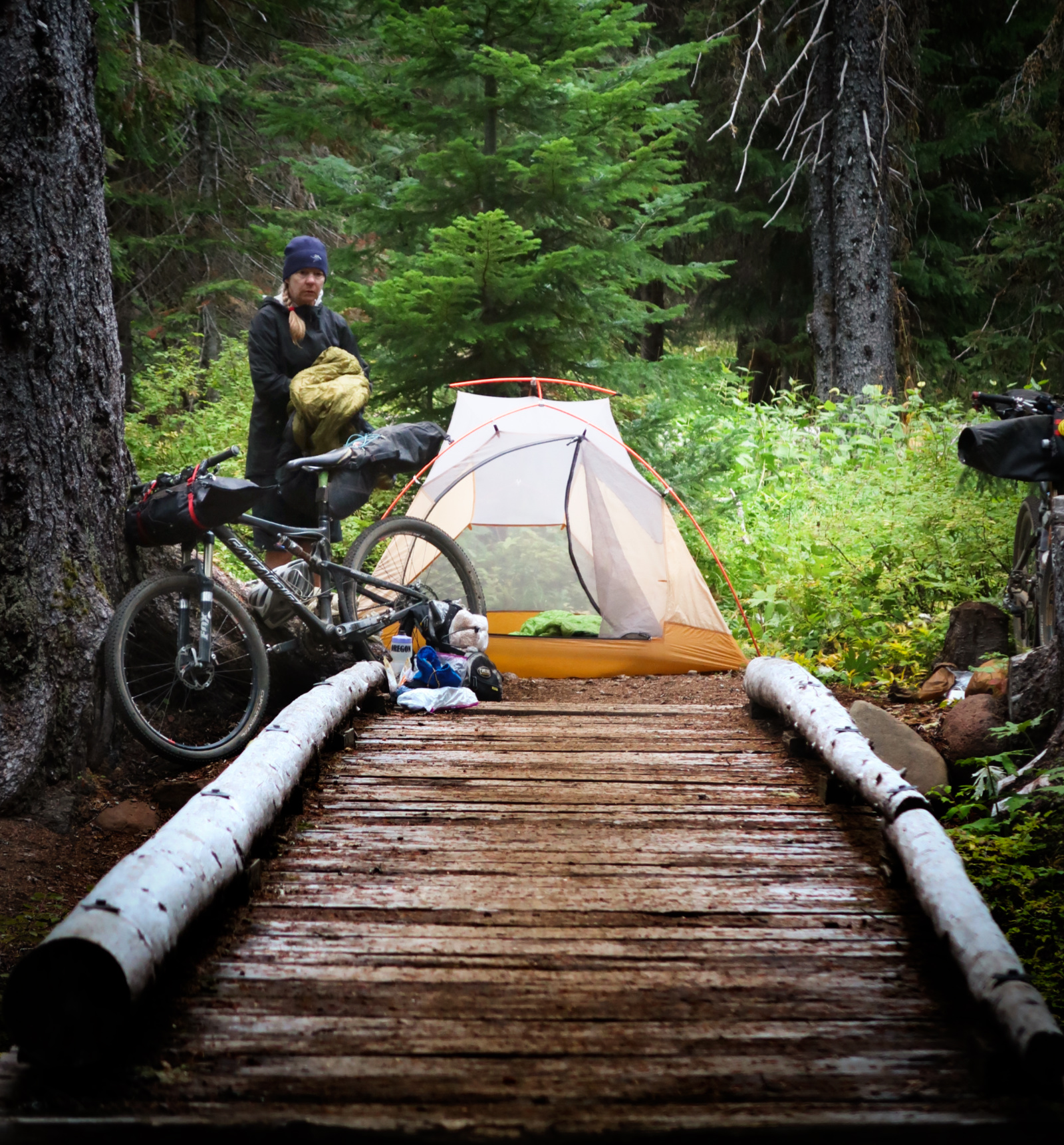
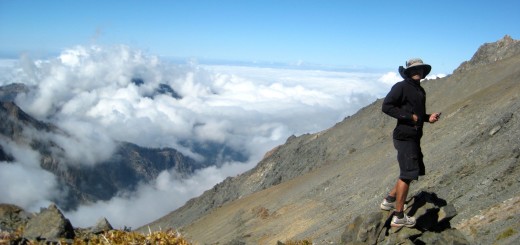
Janet on the Southernmost Tier – the Fremont Tier.
If you want to be as true to the route as possible – without riding to far-away places, here are the resupply points:
| Resupply | Distance from Last | Miles off Route (one way) | Notes |
|---|---|---|---|
| Paisley | 96 | 8 | Store is pretty well stocked; Hotel space is limited - but nice quality; Restaurant is typical diner; residents very friendly |
| Silver Lake | 68 | 7 | Store is surprisingly well stocked in spite of small size; Hotel rooms are the smallest we saw on trip; Restaurant is a few blocks away and typical diner style. |
| Chemult | 59 | 0 | In spite of being a major roadside stop, grocery store had very limited selection; Several restaurant choices. |
| Oakridge | 93 | 0 | True full services, with a full grocery store. Good bike shop. |
| Sisters | 132 | 0 | True full services, with a full grocery store. Hotels are relatively expensive here. Nice bike shop. |
| Idanha | 90 | 1.5 | The market in the guide is better than I expected - slightly better selection of food than a typical well stocked gas station. Paid camping available ~1km East of the market and across the river. Camping included showers. Laundry available. Tent sites were nice by river. We originally planned to ride to Detroit for full services, but Idanha had everything we needed. |
| Parkdale | 133 | 0 | True full services, with a full grocery store. |
I deviated 3 times from the 2018 official route:
1) Due to the Watson Creek Fire, I left the route at the Chewaucan Crossing Trail head, and rejoined by riding up FR29 (which had just opened the day before). This meant that we missed 16 miles of the official route – but it was not all bad. For one thing, we would have had to exit at Chewaucan crossing anyway in order to resupply in Paisley. If there hadn’t been the fire, we would have likely ridden back up the same road we had descended the day before… and we would have missed the wonderfully relaxing Summer Lake Hot Springs. Fire or no fire – if you do decide to visit those hot springs, the only logical choice is to either retrace your steps on several paved miles back to Chewaucan… or do what we did and take FR29.
2) Another deviation was the Yamsay Alternative. People were saying that the official route had tons of downed trees – including on the descent – so we decided to take the forest service roads around this section. I suspect it saved us a lot of frustration – and the reroute was awesome! It wasn’t singletrack, but we saw only 2 cars all day! We combined the Yamsay Alternative with our resupply at Silver Lake City. Here is the GPX file of how we managed to do this without a double-back.
3) The final deviation was that I chose to take the less rocky NF4220 instead of riding past Red Lakes. This route is quite a bit longer, but I found it to be 100% rideable. It also had the advantage of passing by Olallie Lakes Resort. There is a store at Olallie Lakes Resort that caters to PCT hikers. I didn’t find it to be very well stocked – but I didn’t really need anything at the time. I liked the location and scenery, though, and was really glad that I took this detour which is also suggested by the official 2018 guide. Here is a GPX file of that route.
I relaxed at the Olallie Lakes Resort purchasing a couple diet sodas and granola bars. This is not part of the official 2018 route (but it is a recommended alternative). I did hear that it was necessary to hike-a-bike on the shorter Red Lake route.
Besides the 3 (mostly intentional) deviations, there were a few errors in the GPS track provided. All repaired files can be found in this public dropbox directory:
1) We got lost in the woods at this point: 42.31766° N 120.20699° W – the 2018 guide has you heading into the woods here off of a fire road. There were some flags as we carried our bikes over logs and detritus on what looked like a deer path. We finally gave up and took a long, bushwhacking way around (see our GPS track on day 2). Instead of following our GPS track from Strava, we recommend that you download this little segment of GPS track that I made to help you better navigate this region. I made this GPS track by viewing 3 other peoples’ rides on Strava and compiling the average of the “best route taken” from what they did. I will also share this on the Facebook Page with Gabriel in the hopes that the 2019 GPS track becomes both annotated as well as updated with this corrected information. I made a Segment on Strava that immediately precedes the area of confusion. It was fun to look at all the various interpretations on how to get through this section. I think that Allison Wibby may be the overall winner of accuracy in terms of following the intended route!
2) There is an error in the 2018v2 GPX file near Mount Bachelor; Here is the corrected portion.
3) There are some trail closures after Parkdale. Here is a GPX file that takes you on a relatively fun route and gets you around this section.
4) Some of the Post Canyon trails in the 2018 v2 track no longer exist. Here is a GPX file of a very fun way to go instead.
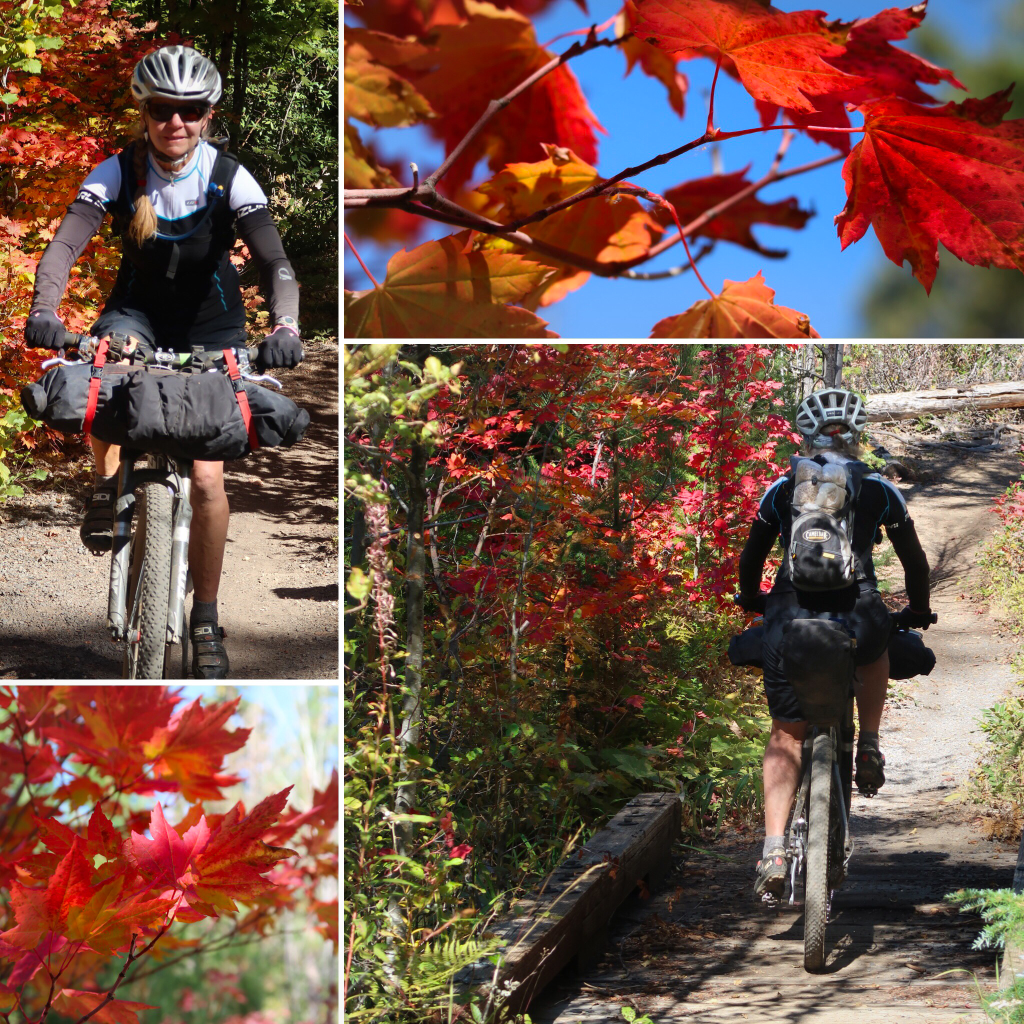
Fall colors in late September! By the time we reached the Post Canyon trails by Hood River, the colors were really popping!
Water
In the Southern Portion of the Route, there were long stretches without water. In the guide, we expected the stretches to be a little longer than they actually were. Therefore, whenever I found water that looked reliable (we were traveling in September, so late season), I would record the GPS point with some notes about the water source. You can use this GPX file as a supplemental water waypoint file to the 2018v2 GPX track provided on the OTT website.
The Winter Rim was fun and challenging. One challenge was finding water up there – we had to carry a decent quantity because we made this portion into a two-day leg.
Photos
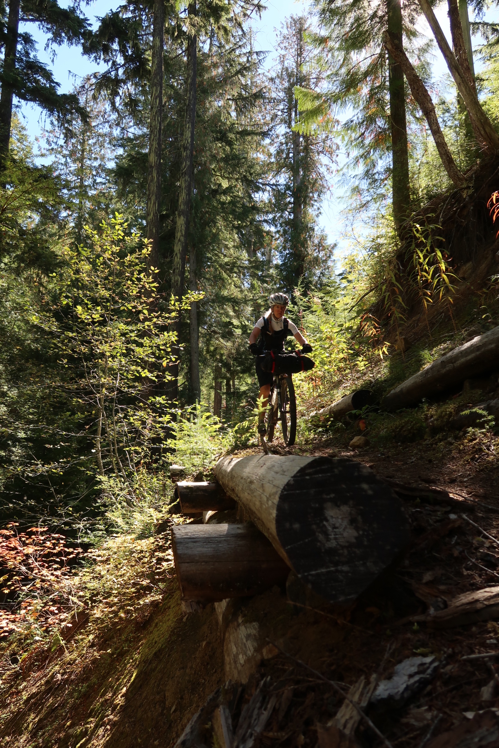
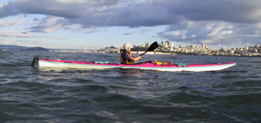
Janet on the Fremont National Recreation Trail.
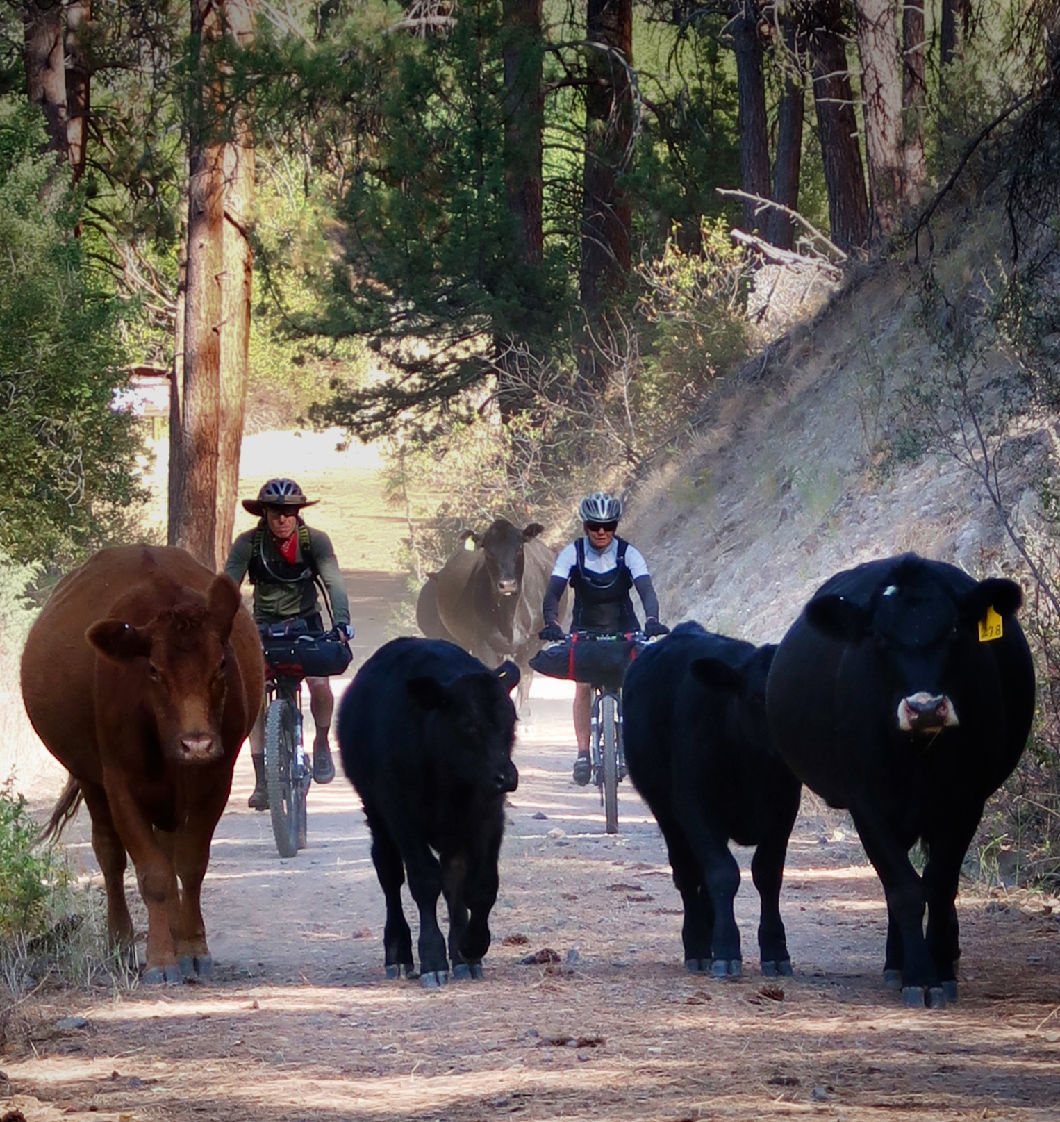
The Fremont Tier was characterized by Cattle. We went through a lot of grazing land.
Stan Hooper on the FNRT
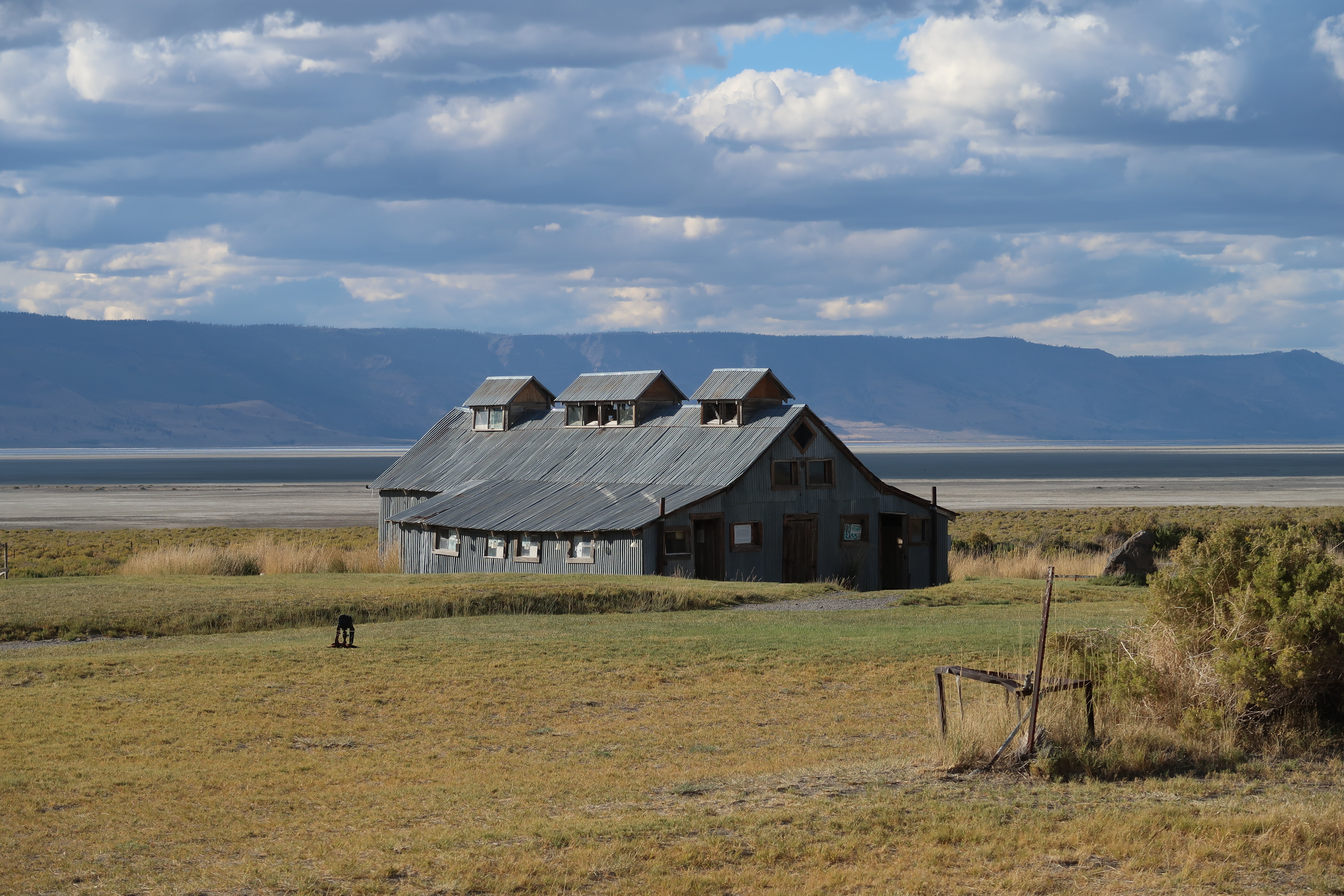
Silver Lake Hot Springs. A great place to take a rest day! The owners were friendly, and gave us a (small) discount for accepting a room that had not been cleaned. We cleaned it up ourselves – and left it cleaner than when we arrived!
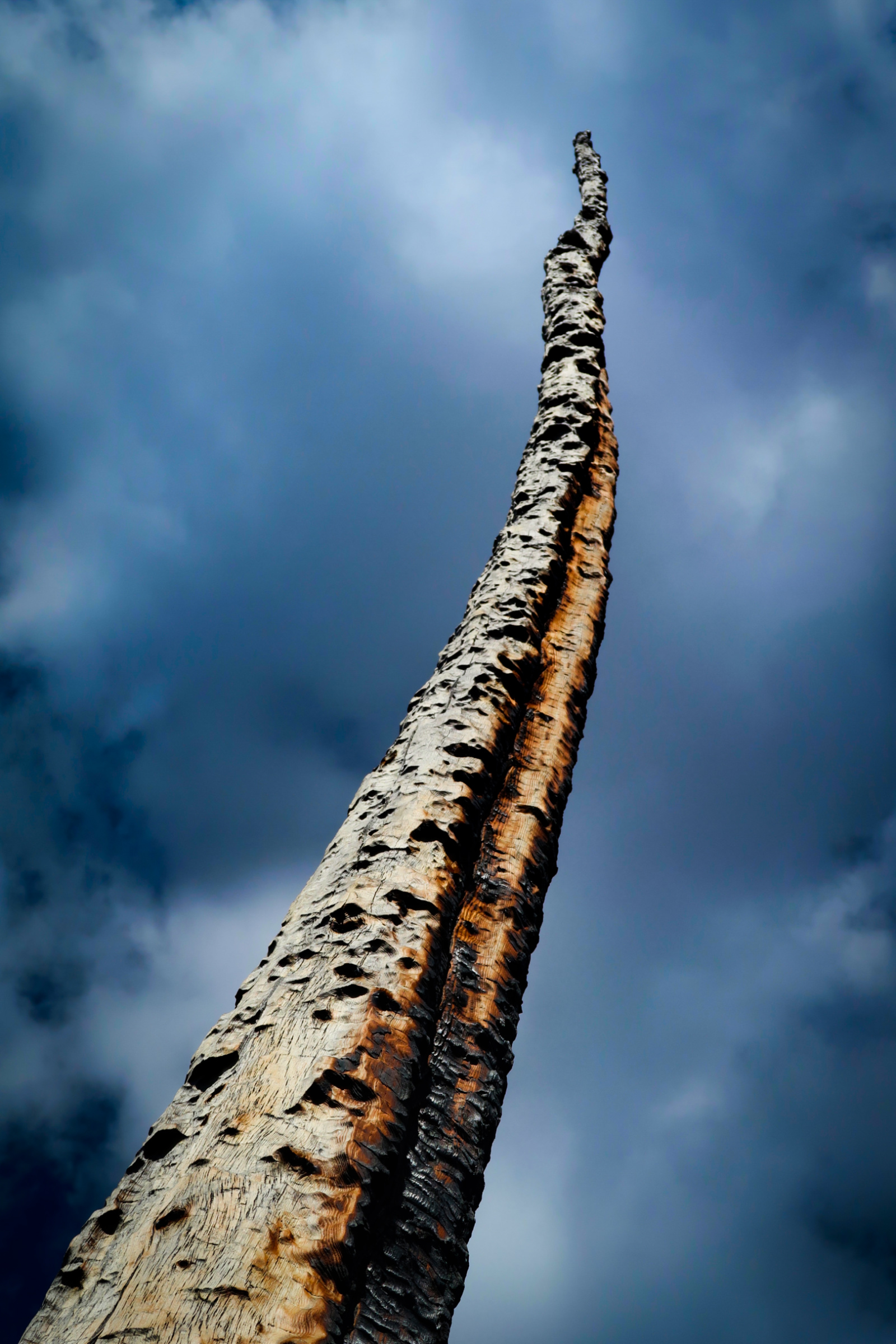
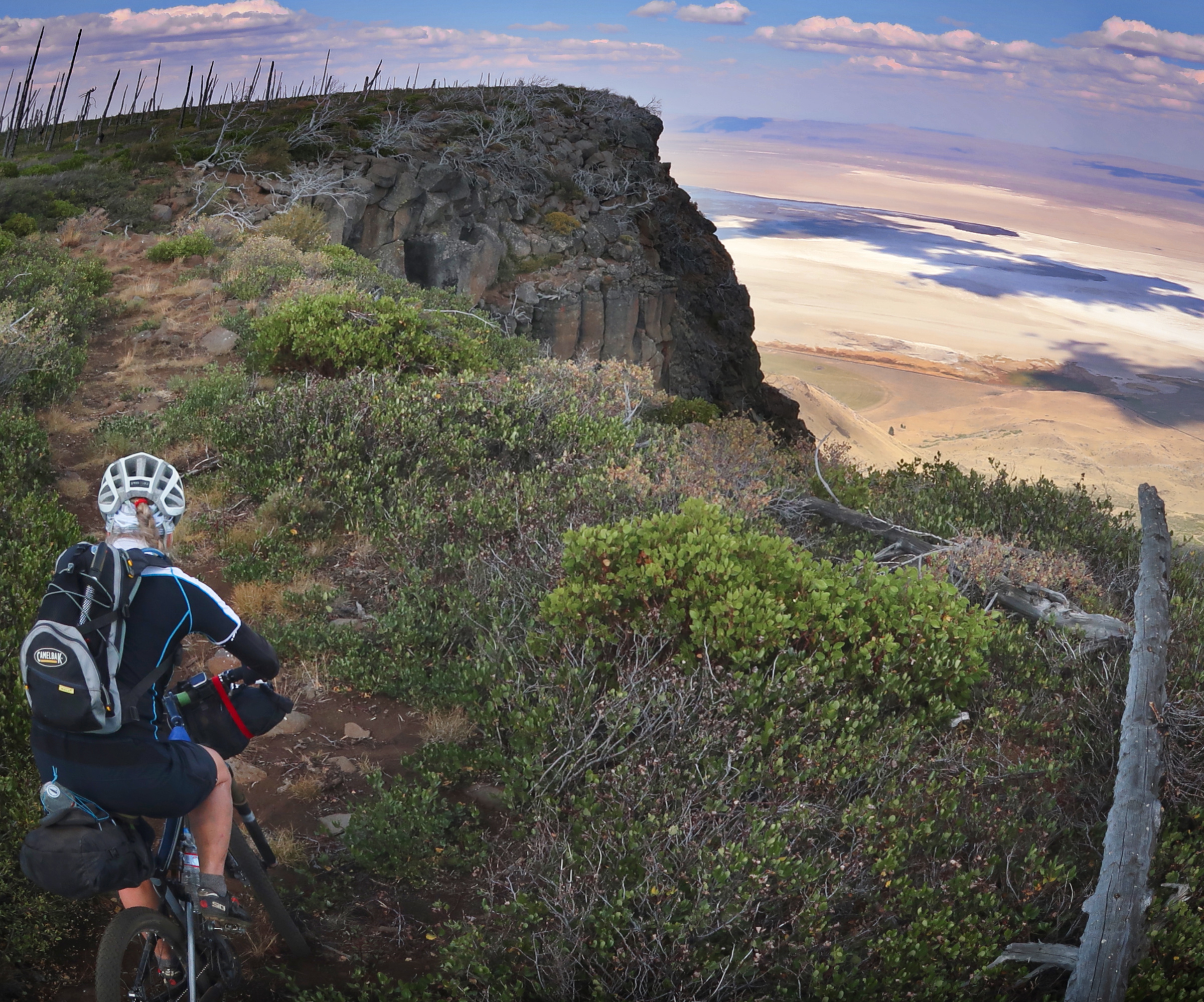
Lots of fire scars up on the Winter Rim.
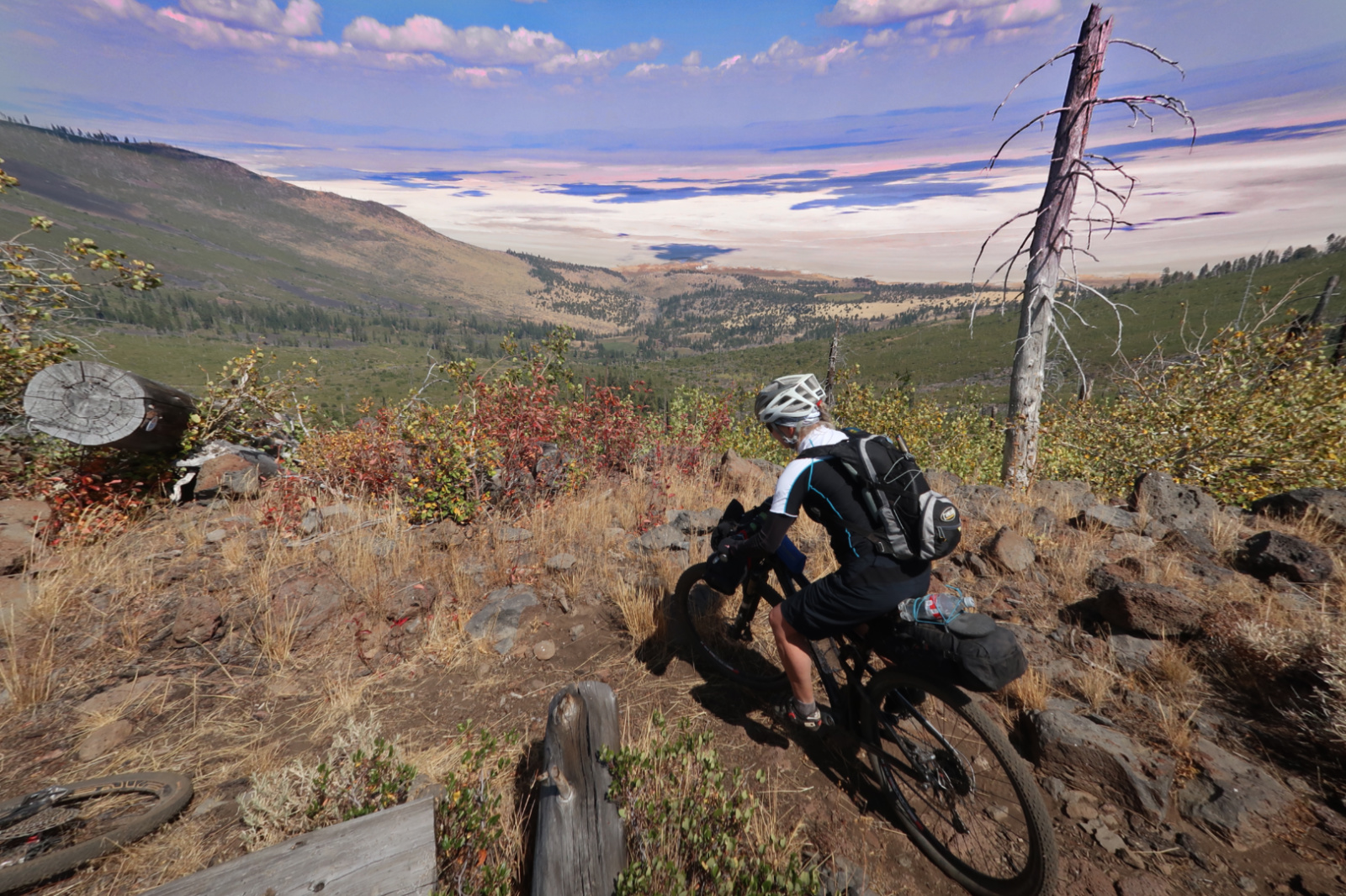
The Winter Rim is slow going. If you go into it with the mindset that it will just take a long time (maybe two days), then you should not get frustrated. We were expecting it to be horrible – so when we got there and found it to be almost 100% rideable (albeit slowly), we really enjoyed ourselves.
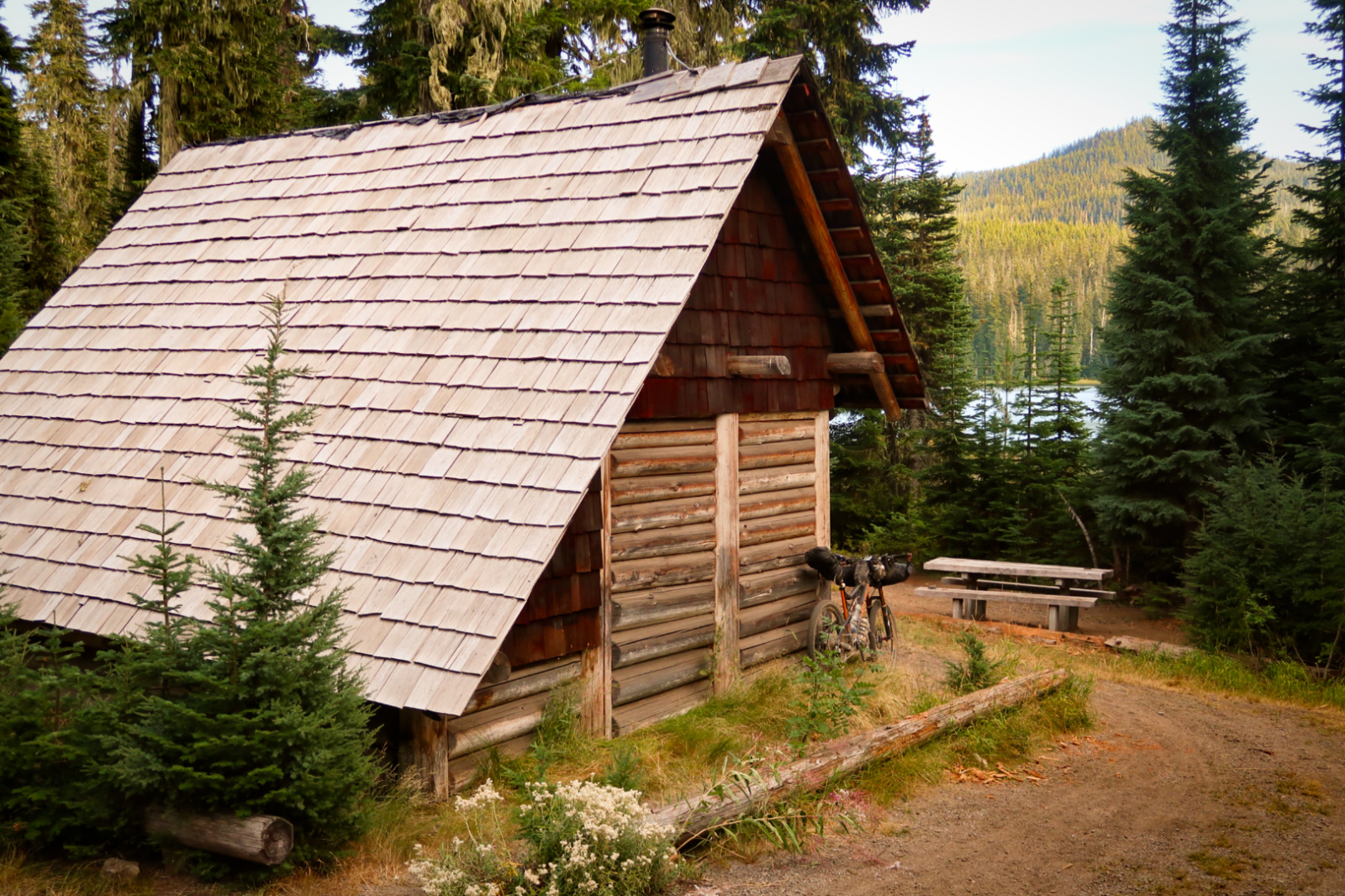
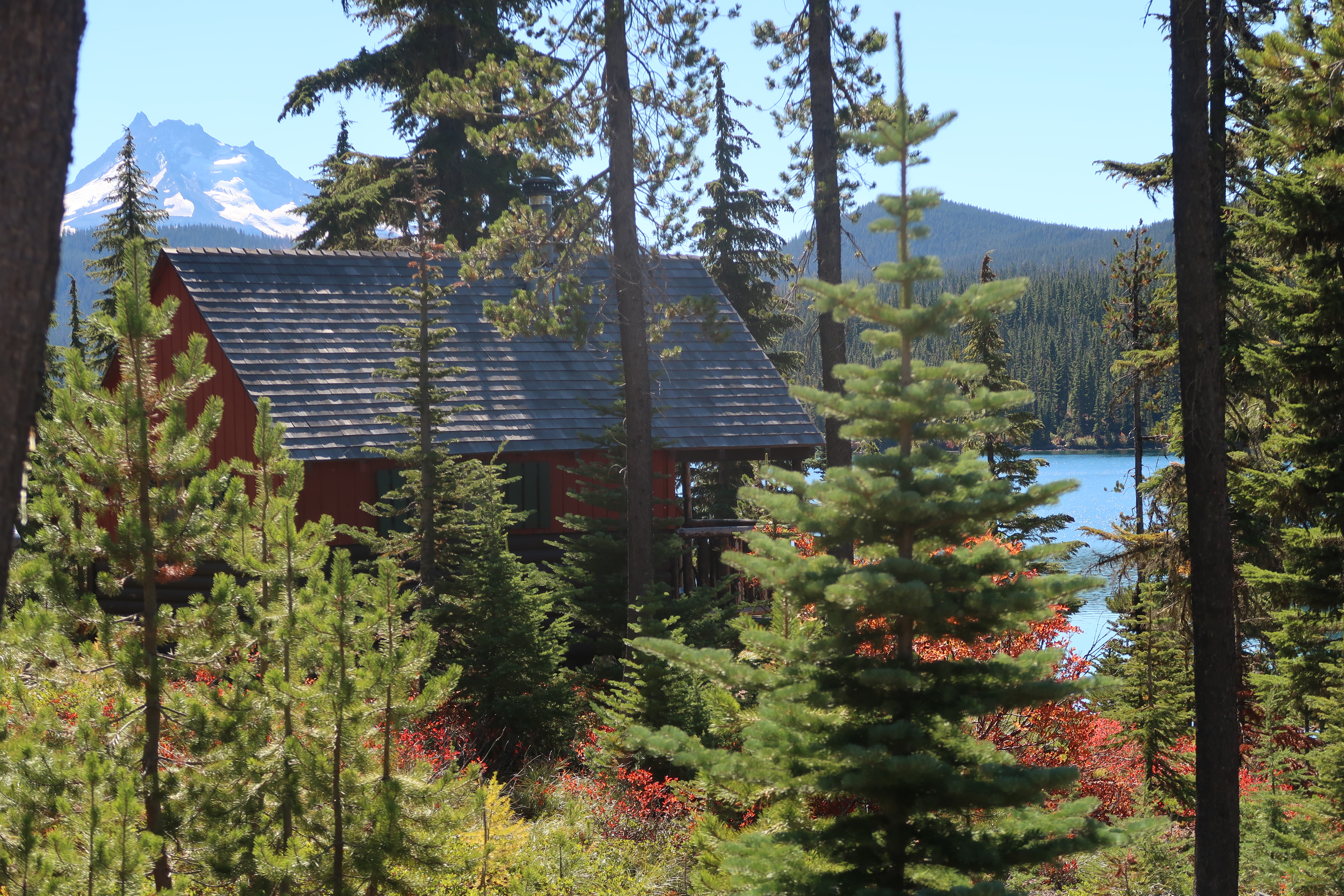
The Timpanogos Shelter. Janet and I opted to sleep outside because it was dark and smoky inside. Stan slept inside. We would have used it if it had been raining.
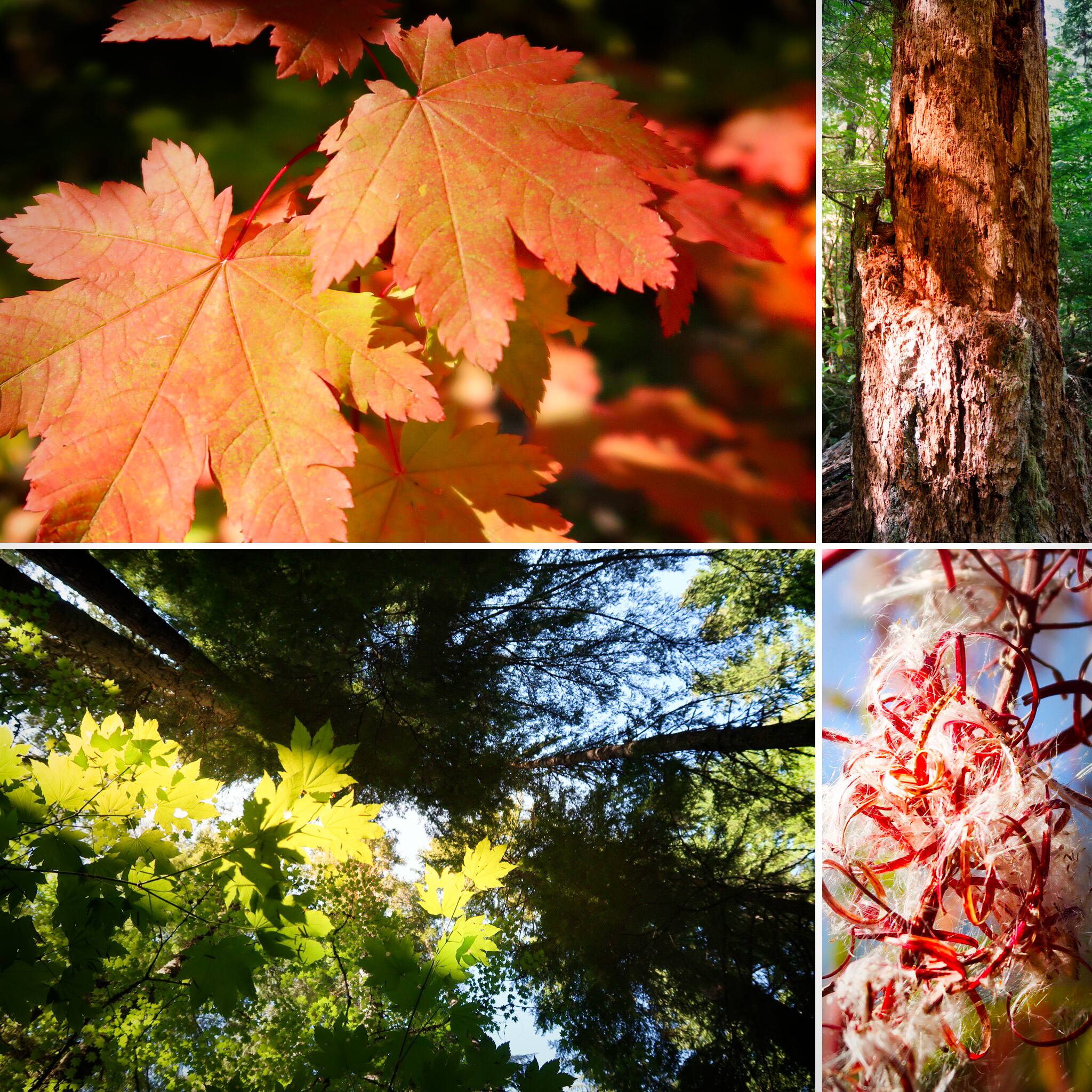
Brilliant colors and wonderful textures along the Middle Fork Willamette Trail. I loved this trail! My riding companions thought the upper portion was difficult, but we all agreed that the lower portion was pure awesome.
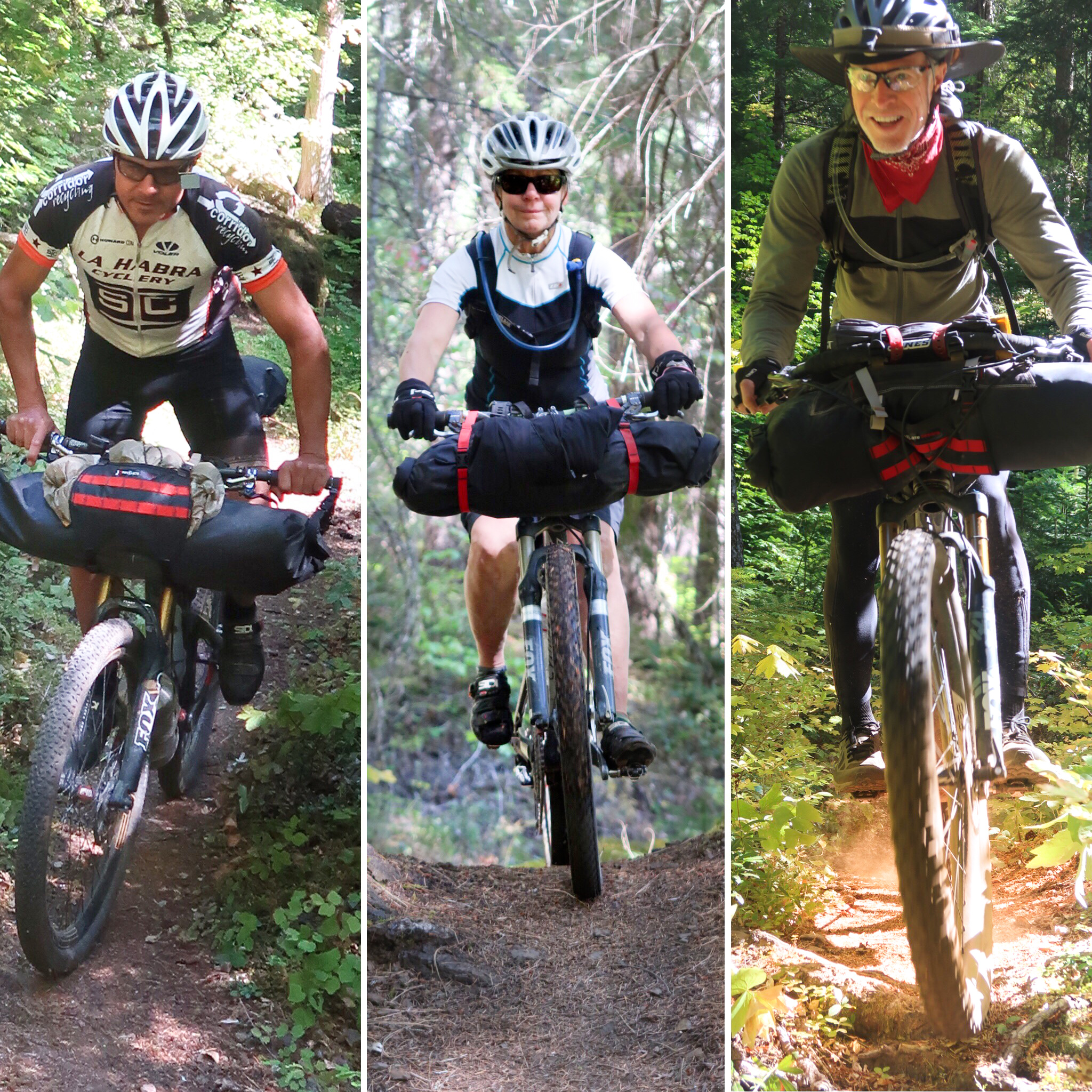
A photo collage of the three of us having a blast on the Middle Fork Willamette!
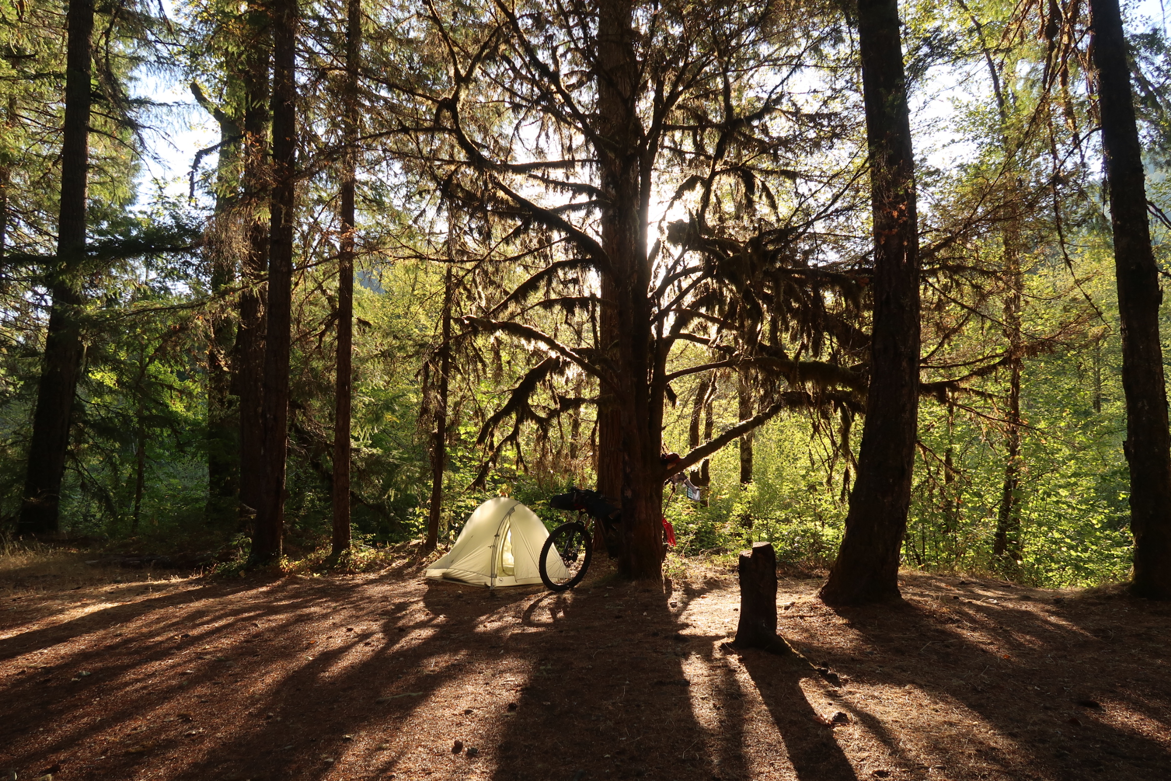
The Sand Prairie campground was closed and the water was turned off – but we camped just fine with water from the river.
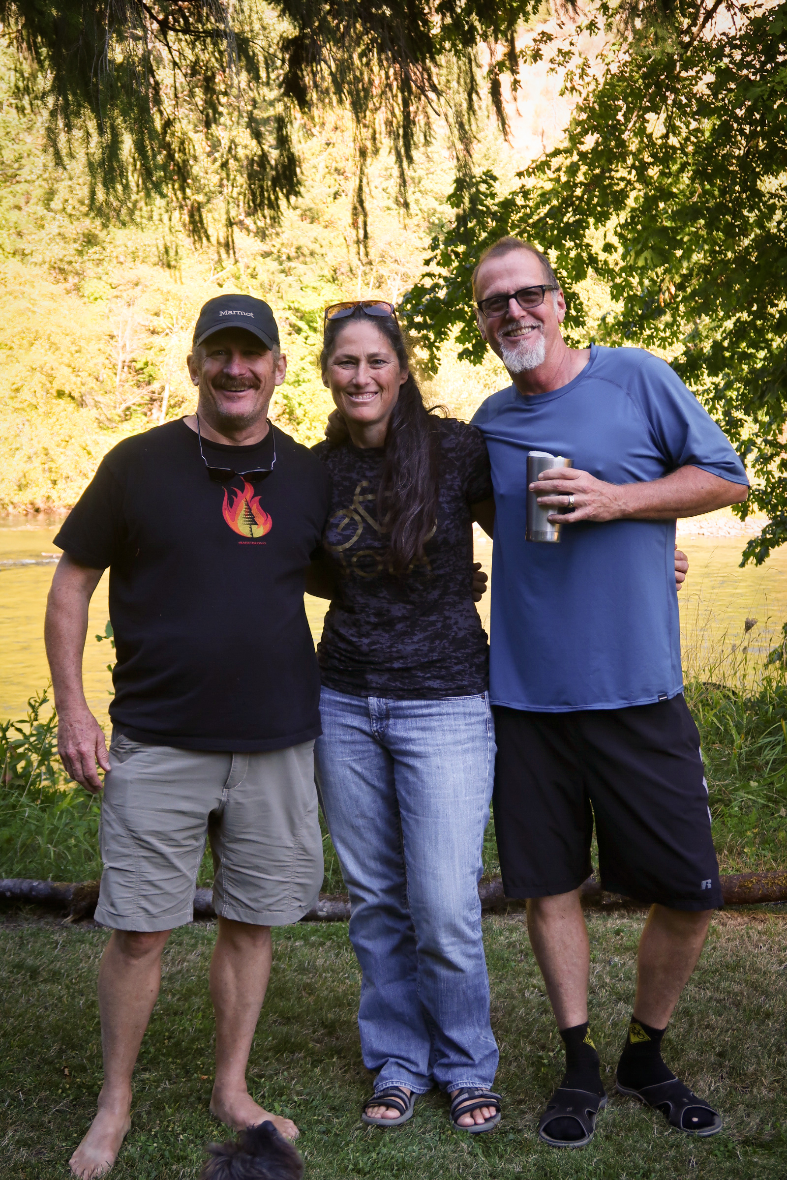
These guys! They all used to live next to us in the Bay Area – but now we have all moved to different parts of the country. We were really happy to see our friends’ new house in Oakridge, and we were very appreciative that they came to camp with us (and bring us tasty food) at Waldo Lake.
Janet on the “iconic” Bunchgrass trail. By the way, you might want to skip this trail. I’ve pushed my bike through here twice – once in the other direction. I can now say that Bunchgrass isn’t really worth riding in either direction. It WAS pretty, though. The fire road leading up to Bunchgrass is fine, and the first couple of miles of Bunchgrass are decent as well. The middle miles are tough and a lot of walking. Once you get through the tough section, it does get better again, and eventually as you head down to Gold lake, the trails get really fun.
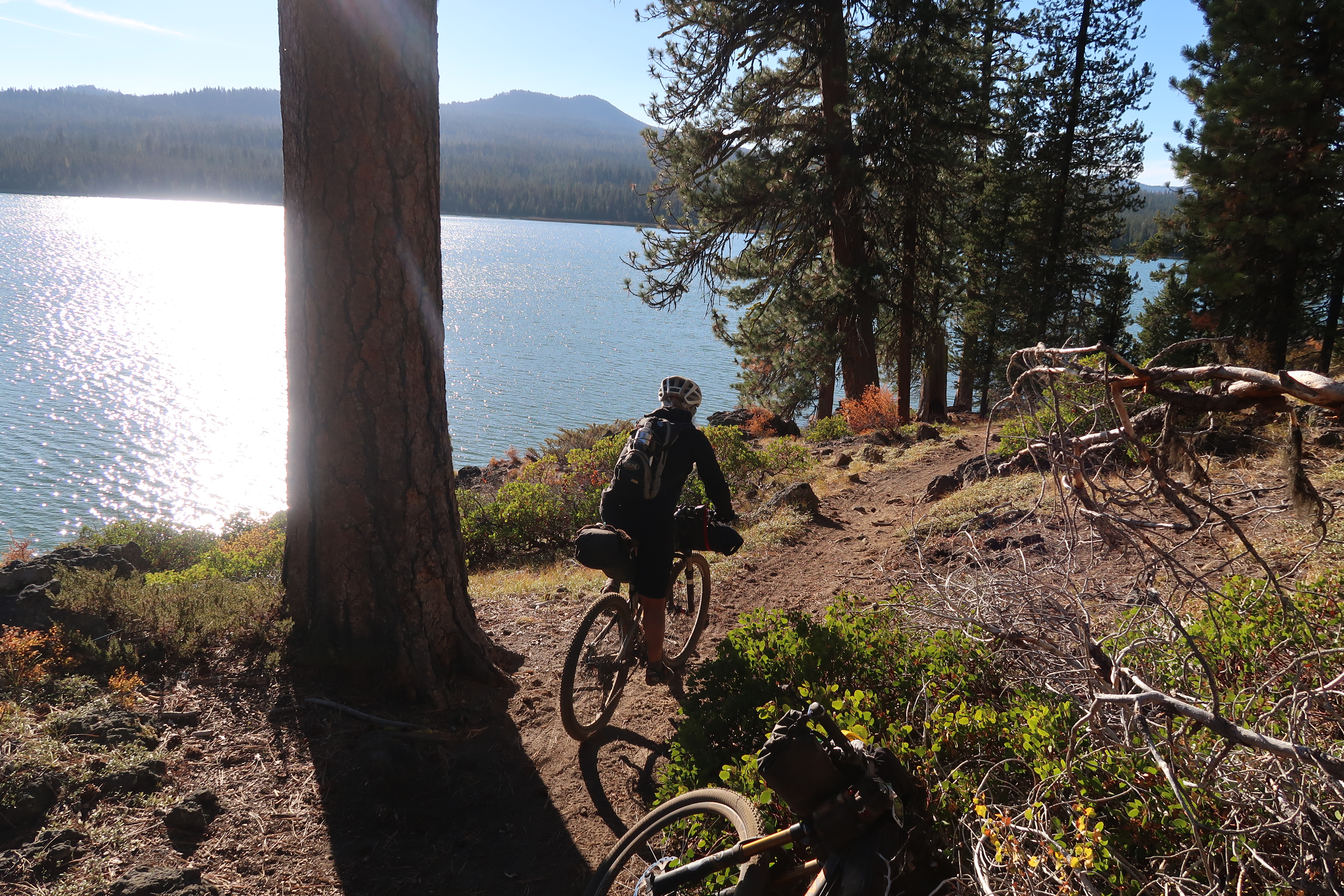
Janet in front of Lava Lake. There was a small store at Lava Lake resort. Stock was approximately what you would find at a gas station.
This is along the old Santiam Wagon Road. We really enjoyed this leg in spite of the sand. The lower Santiam Wagon road was just great (kind of steep near the upper portion).
Out by Crescent Mountain, there weren’t many places to camp. This is just before the trail pitches upwards. We had to push our bikes up this section of trail. The trail is good quality, but it is pretty steep for a loaded bike. The trail going down the other side was fantastic, however!
Janet descending from Crescent Mountain.
Janet descending from Crescent Mountain.
I had some trouble route finding after crossing Pyramid Creek. The trail is not obvious from the other side. Therefore, I spent 40 minutes hoisting my bike over logs looking for the trail. This was not fun. The GPS track is probably a little bit off – or the signal isn’t very good deep in the canyon. See if you can find the other end BEFORE you cross the river is my only advice.
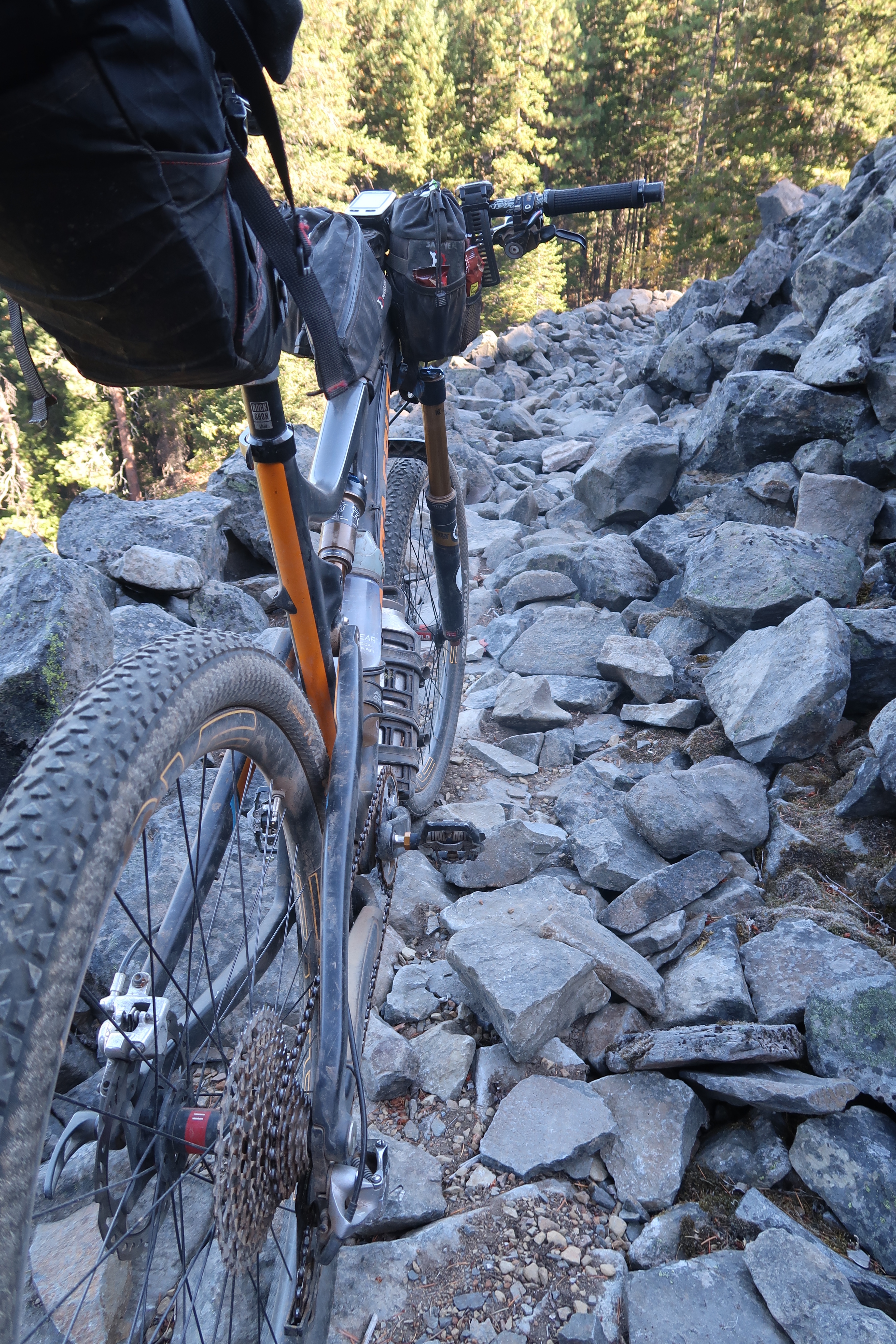
Got a lot of these rocky sections after Timothy Lake. There is a lot of single track after Timothy Lake. Some of it is great fun, and some of it is rooty or rocky. Also, there is a SIGNIFICANT river crossing at the White River (Keeps Mills). It was tough for me to cross, with water up to my crotch. It was the only river crossing of it’s kind along the route – but you should be forewarned!
The Old Parkdale Inn is where we stayed – and glad we did. Proprietors Mary and Steve were really friendly – and enthusiastic about the OTT. Mary impressed me with how much she knew about cycling in Oregon.
The Post Canyon trail area was beautiful, and the trails are literally a maze. Most of what we rode in there was very fun! One negative: Motorcycles are allowed on some of these trails, so you have to be careful to avoid collisions. Luckily, you can hear them coming for a long time.
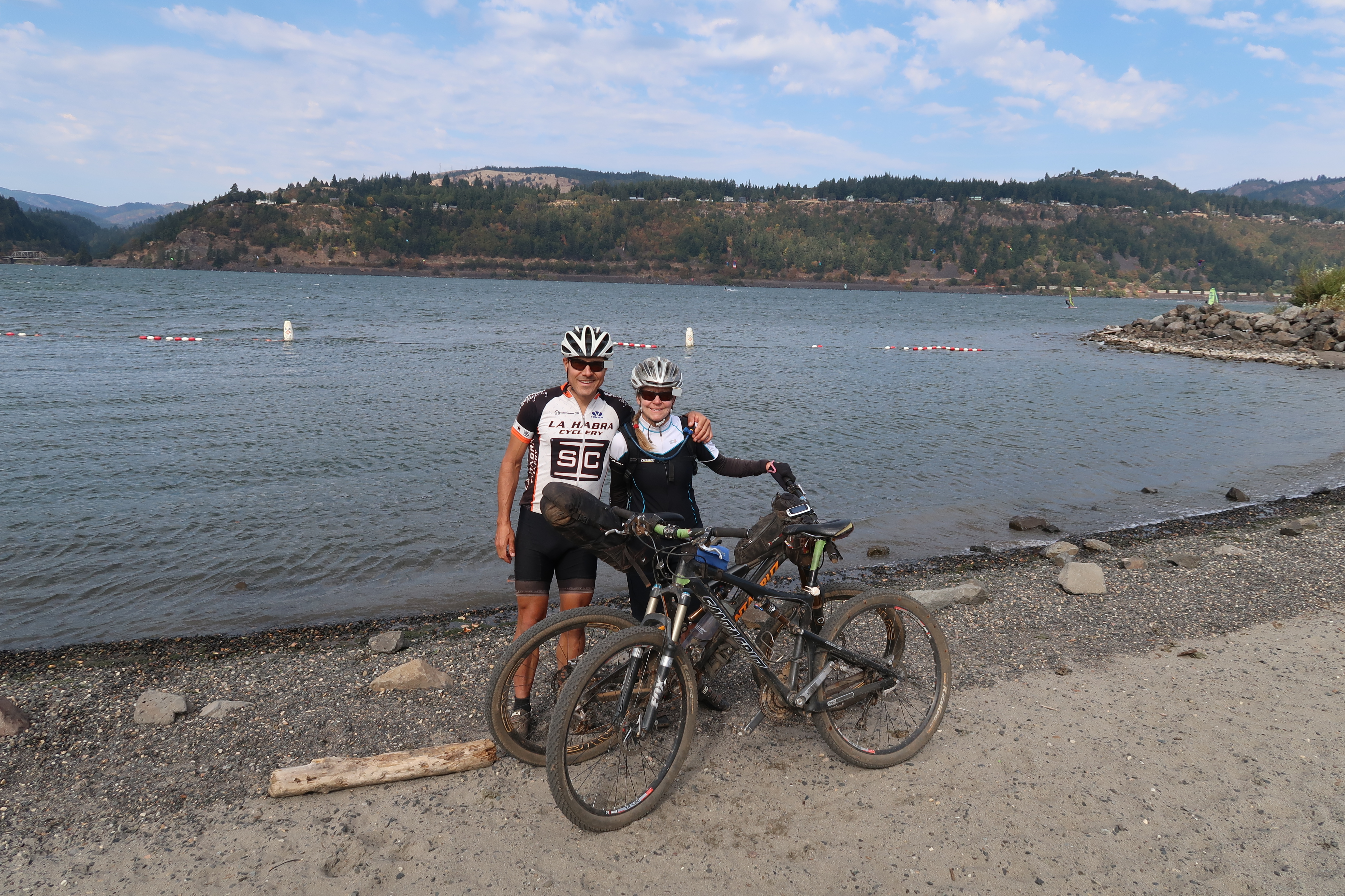
Janet and I at the Hood River finish! We took a taxi out of there to our rental car, which we drove back to the start.


I enjoyed reading this post and seeing the photos. Very cool that friends were able to join in on some camping and that you were able to visit their house in Oakridge. Although I’d say I am more of a “soft forest road ” mountain biker, many of these trails look awesome. Congratulations on a great trip.