Cinders Cones Coconino Medley
This is the map for the entire route discussed in this post. To Export GPX files, click on the three horizontal bars in the upper right hand corner of the map and select Export selected map data... To see full screen, click here (opens in new window)
Janet cleared this whole section! Today is kind of a rest day for us. Now we will switch from the “Coconino Loop” to the “Cinders and Cones” loop, which I think is going to be easier.
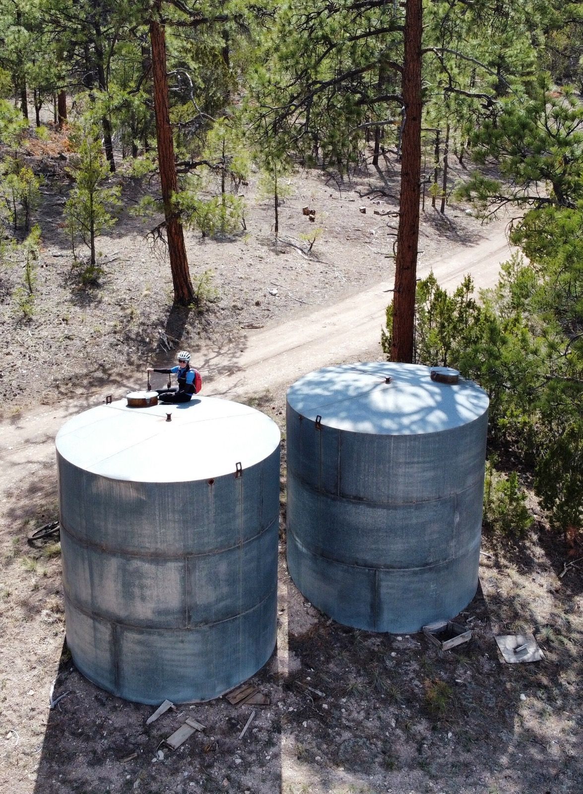
Janet checking out the stock tanks to see if there is water. They were empty.
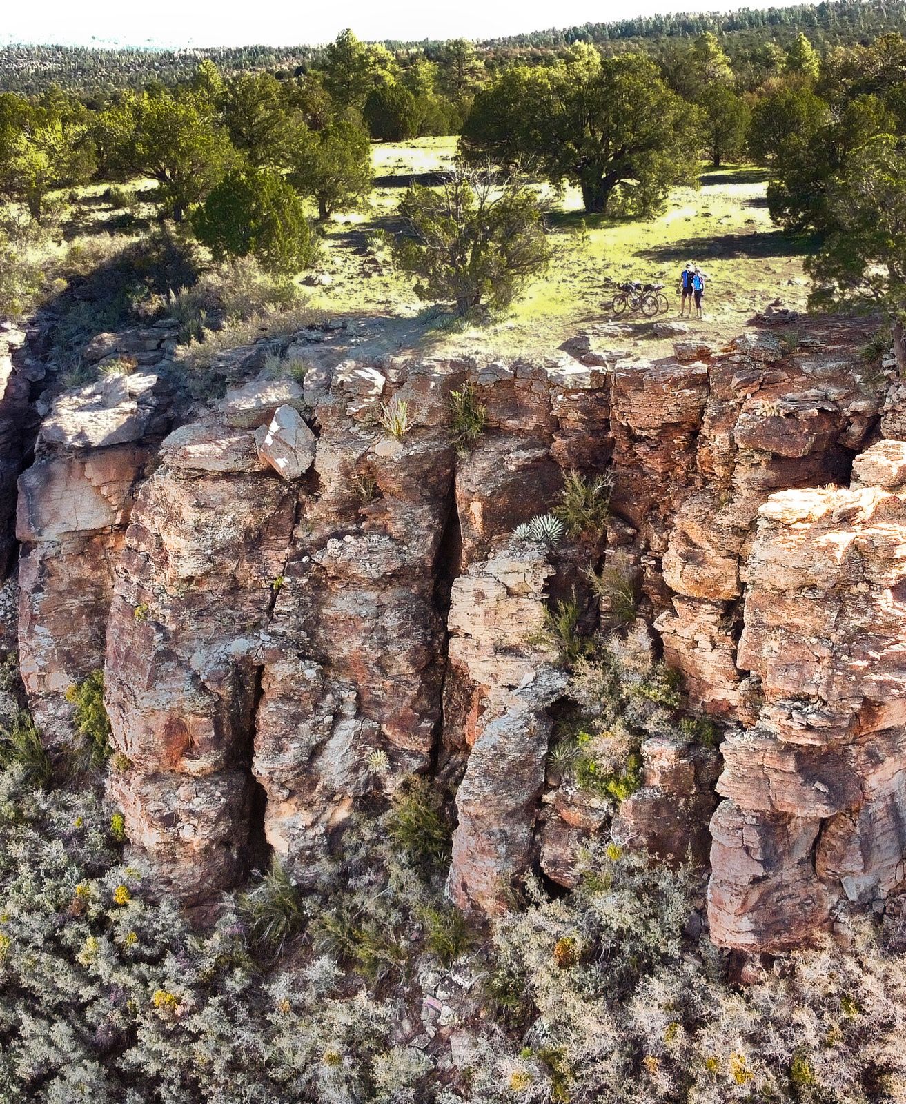
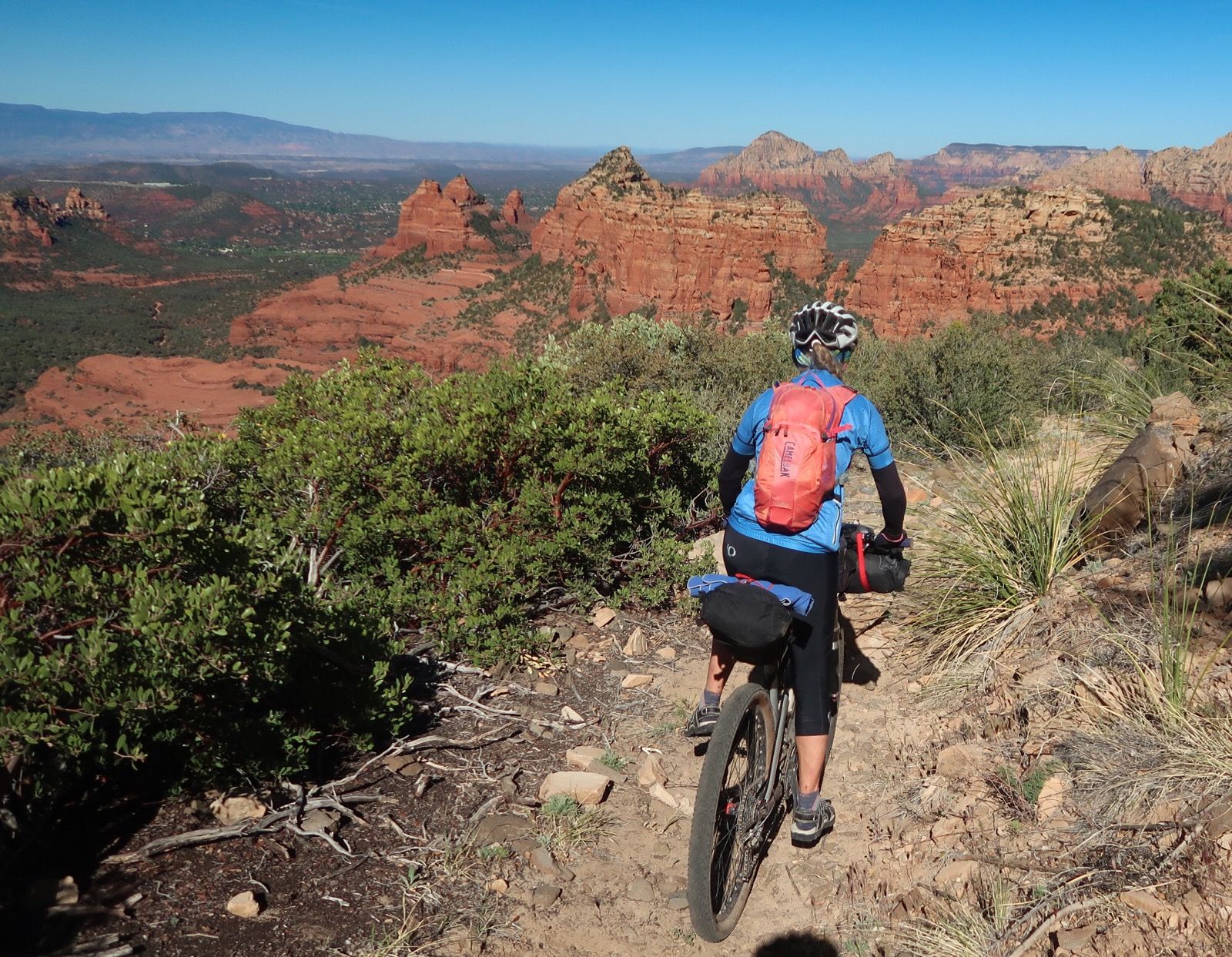
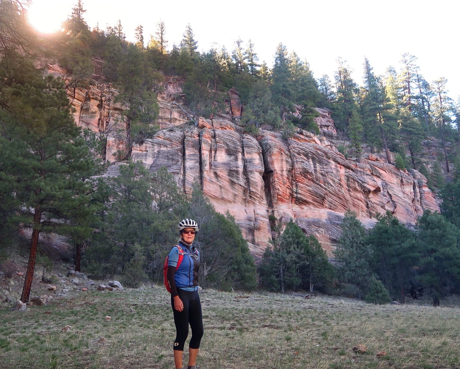
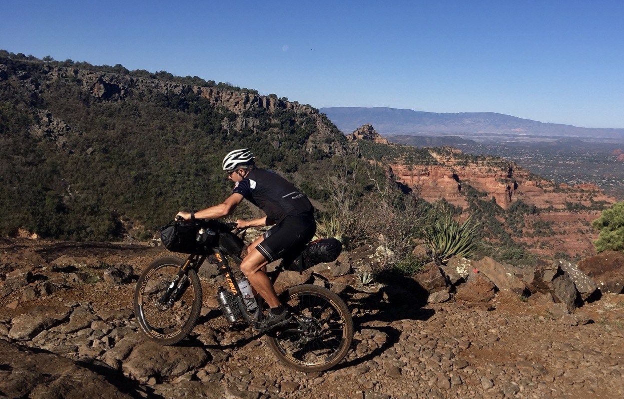
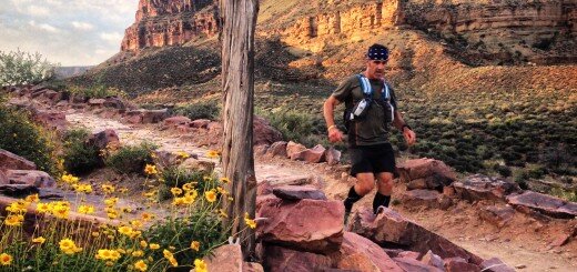
Janet and i on the cliff before today’s big descent
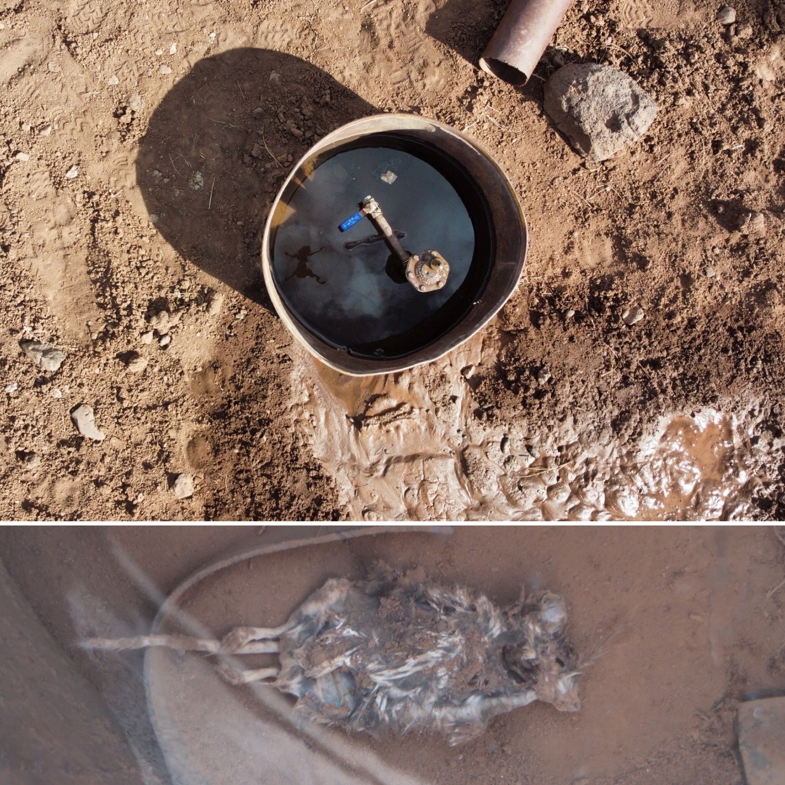
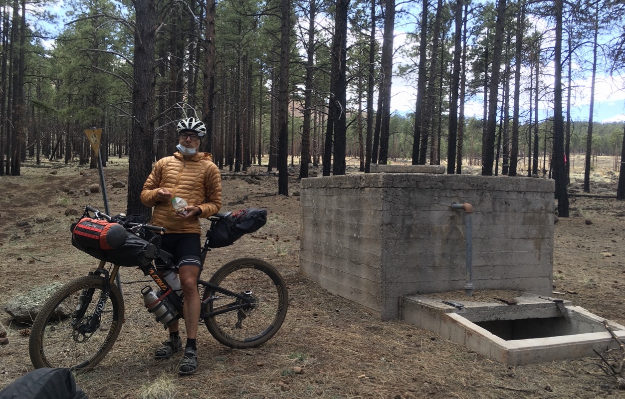
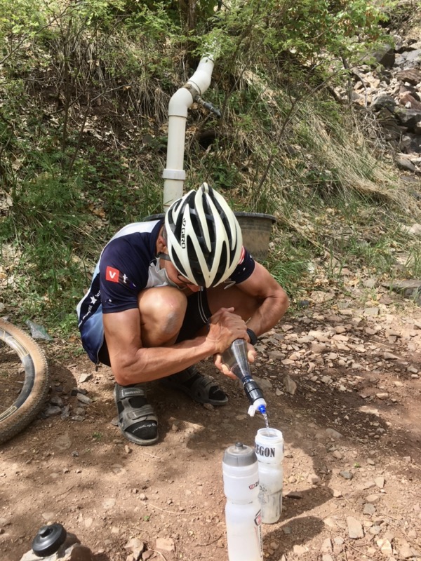
We had several stock tanks marked on our map. Unfortunately, they were all dry (except one that was dirty). At the last tank that was labeled “stock tank – good” we discovered it was dry too. I sent the drone on a mission – it could fly to the next tank in a couple minutes which would take us a while to ride. The drone saw that was dry too. We hoped for a cache or something, and set off riding again. And then, we suddenly saw this metal thing bubbling water. It had a drowned mouse in it, but there was a valve too – so we were able to filter and UV treat the good tasting water that came out. Whew!
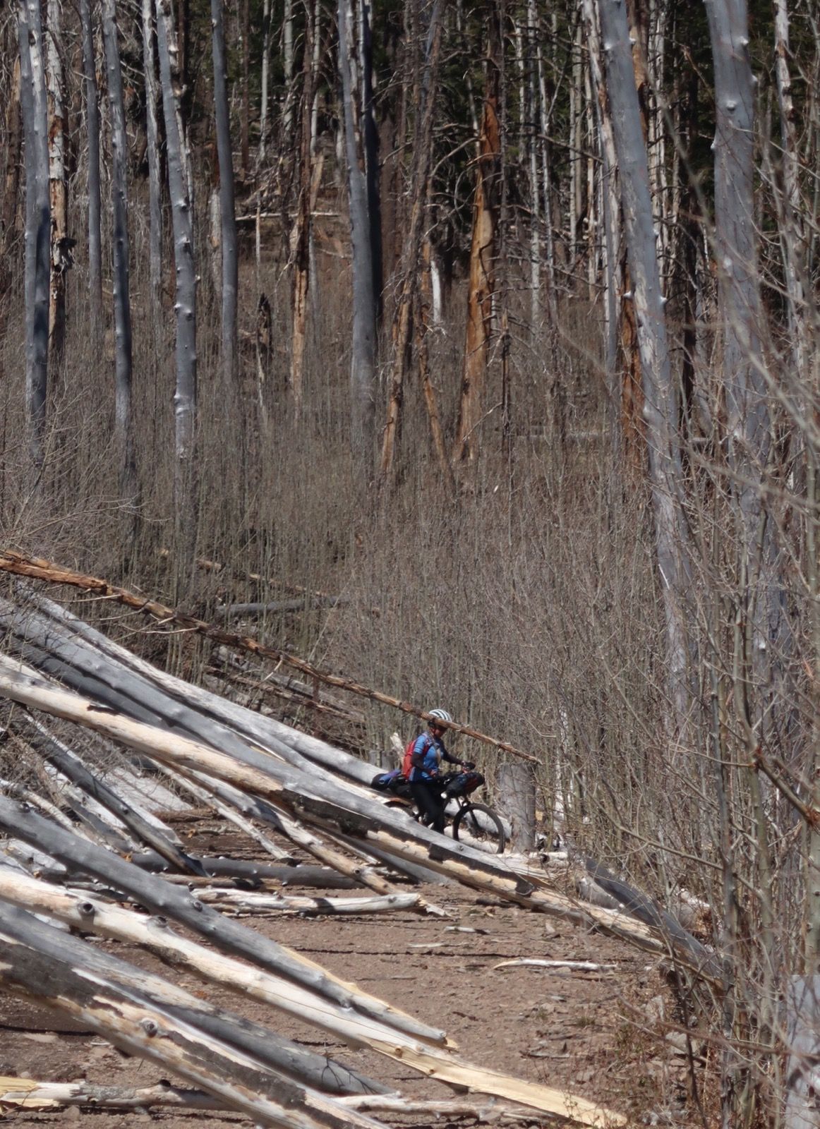
Coming down Waterline road was tedious. The road is amazingly nice grade, but there are blow downs everywhere, forcing us to get off a lot. Once cleared, it would be an excellent exit from this route.
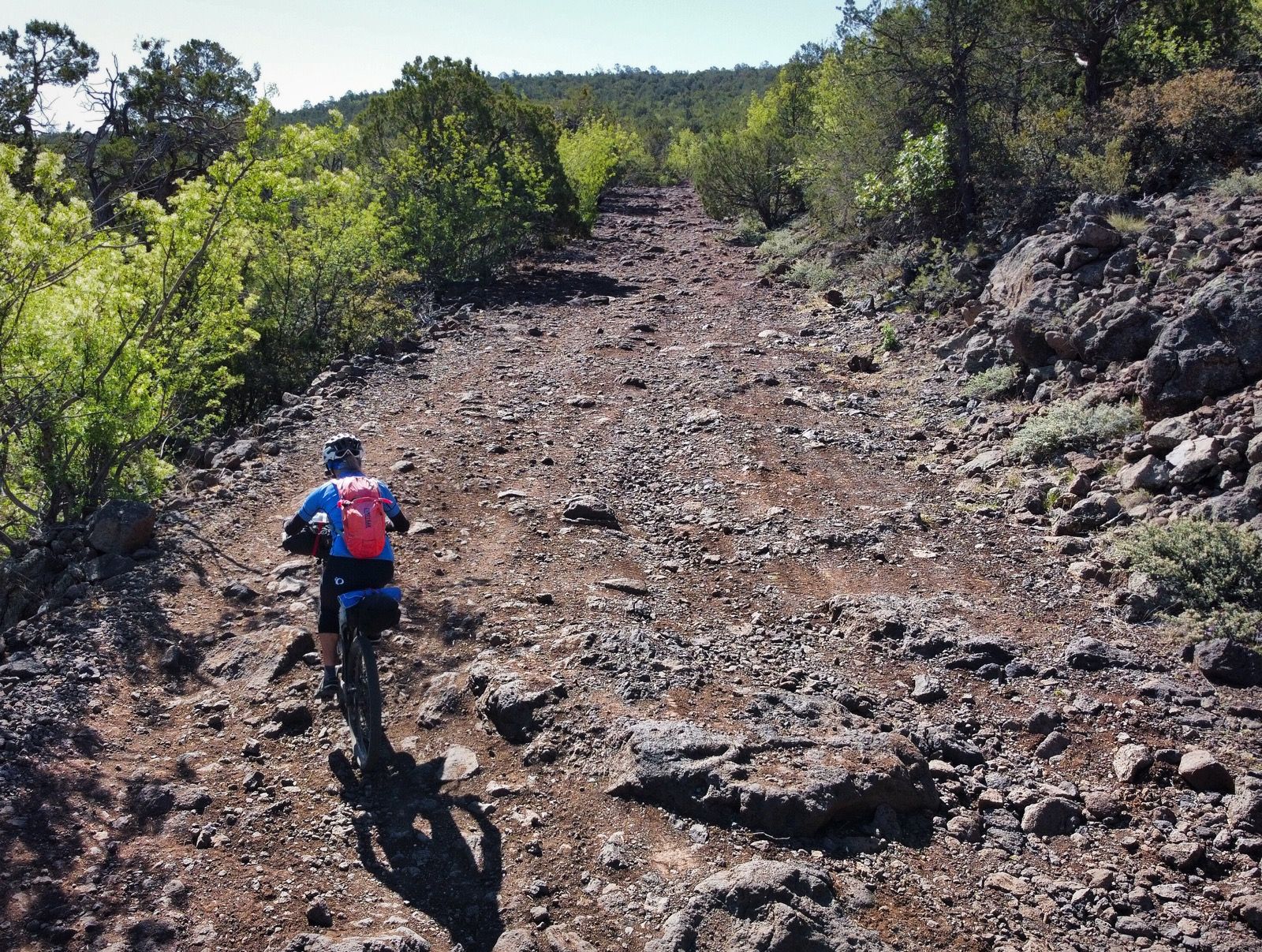
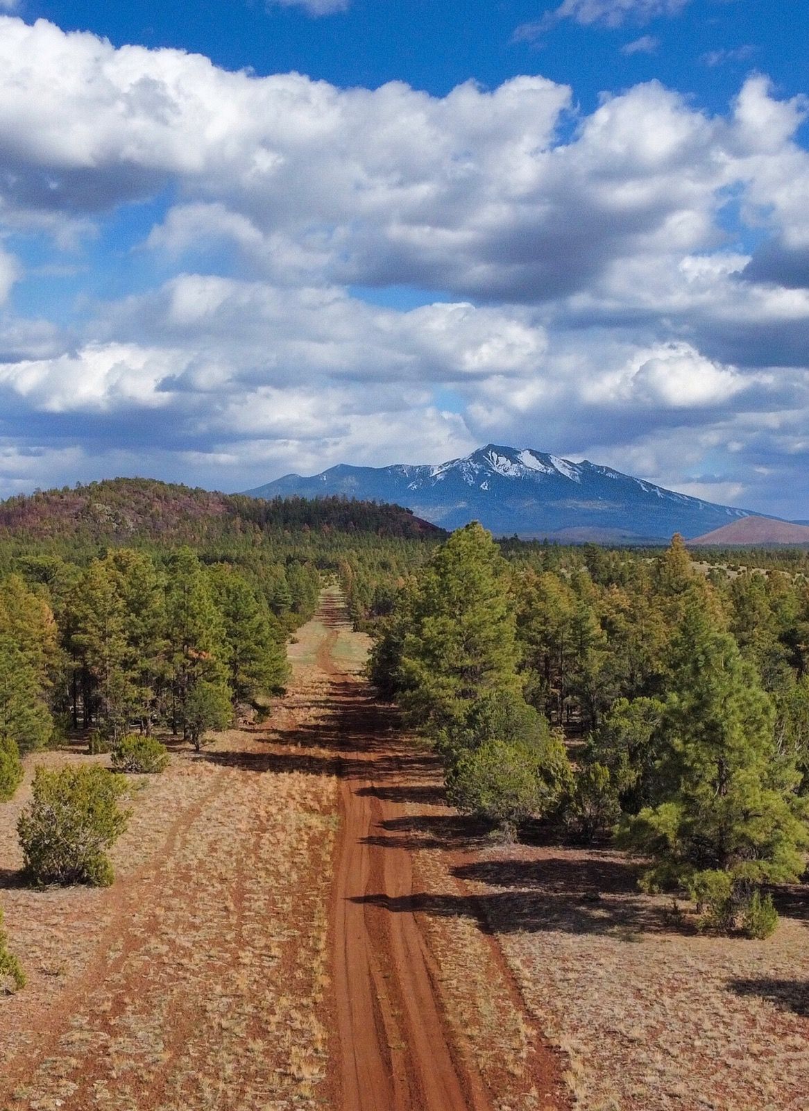
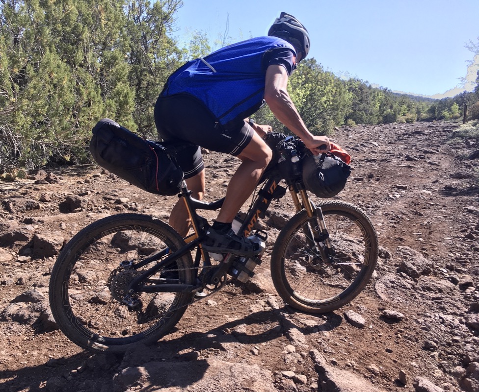
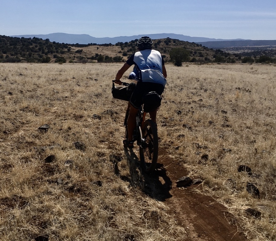
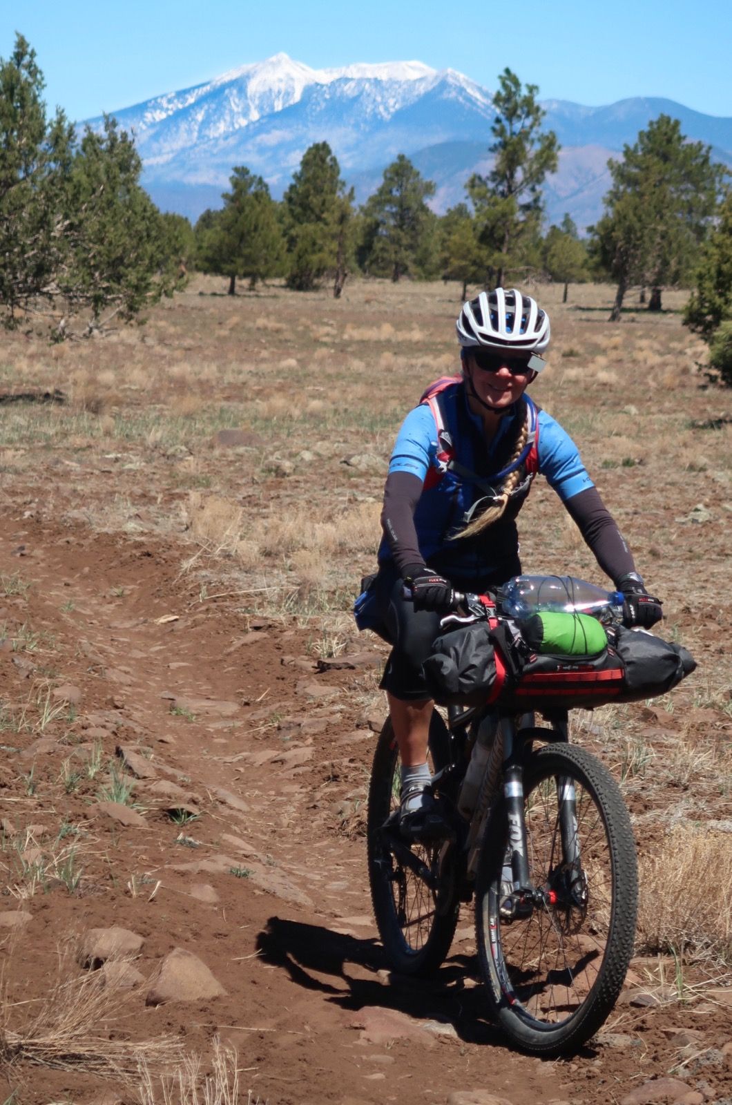
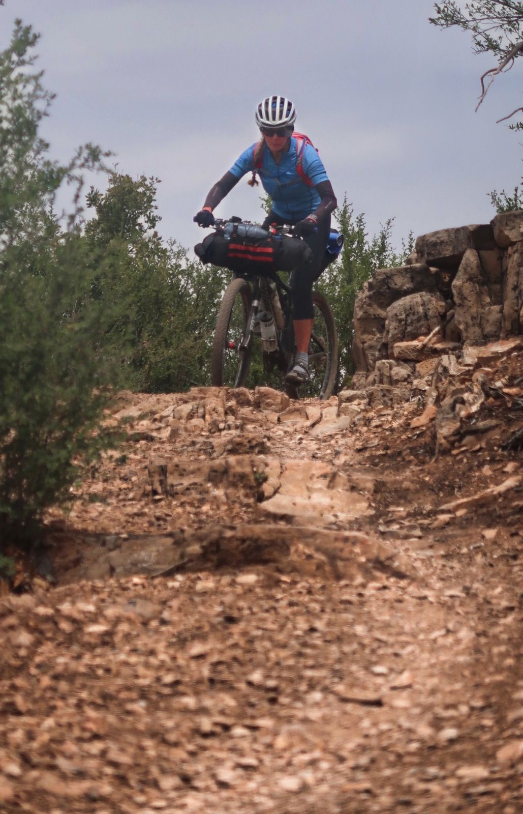
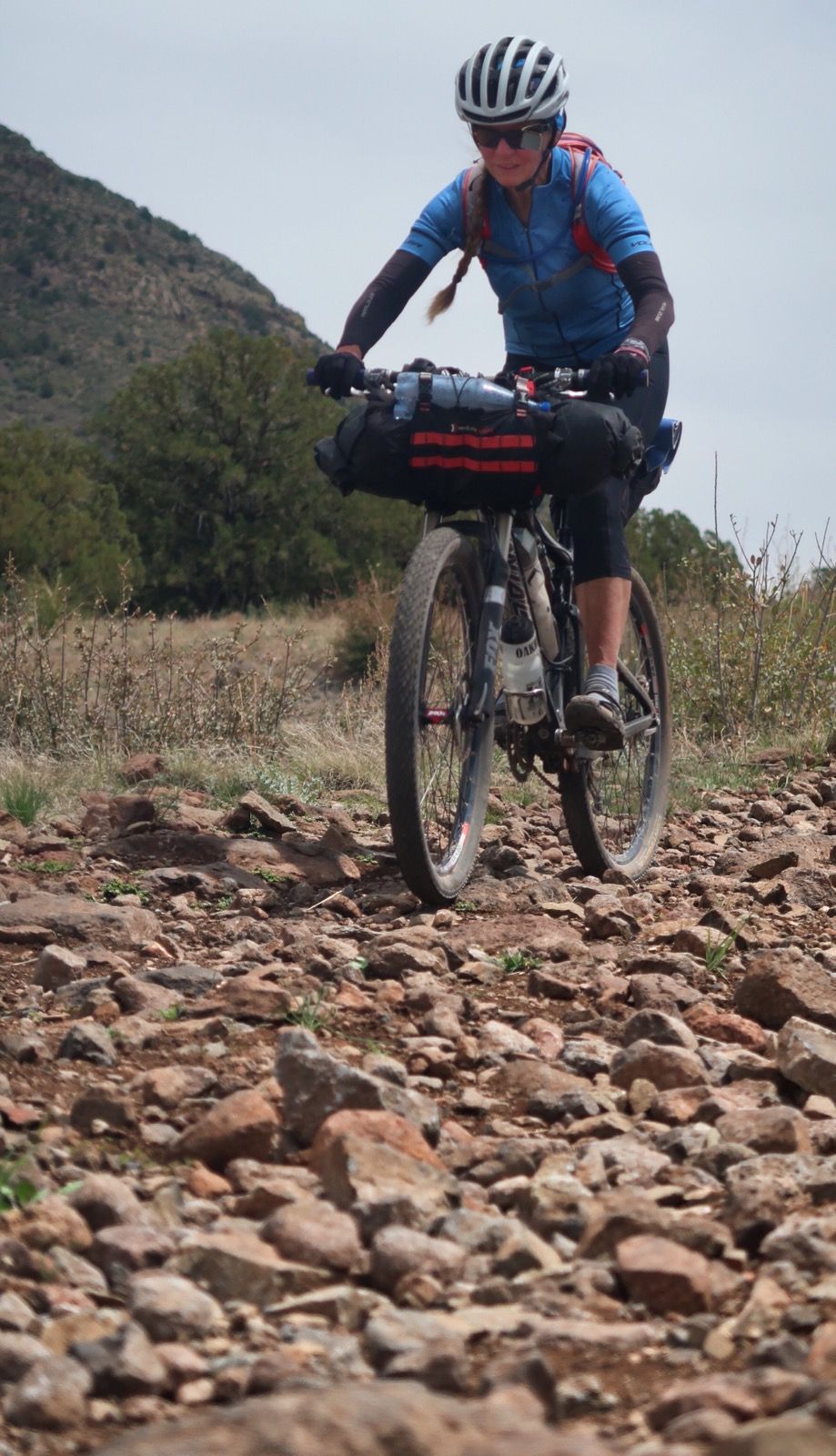
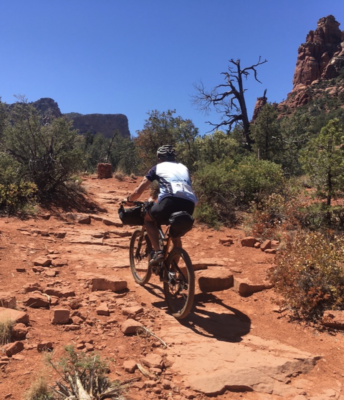
This section of the AZT was pretty darn easy. Much better than we expected, so getting in our miles was a breeze!
Kendrick spring was dry but a small tank nearby had murky water. We kept going again
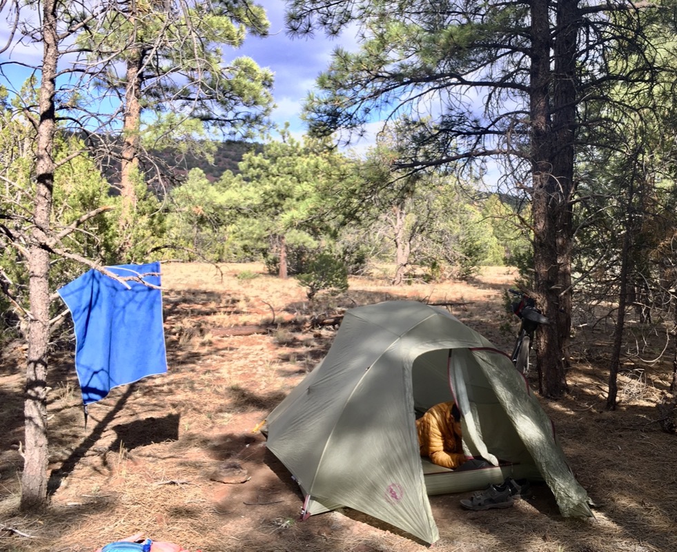
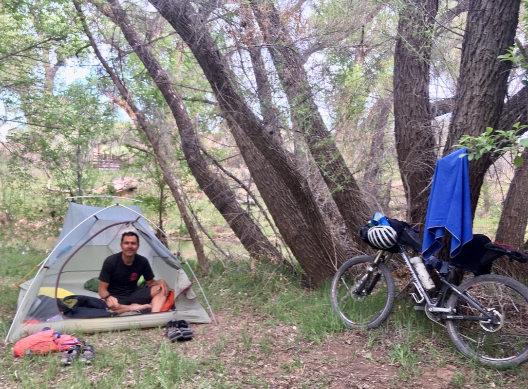
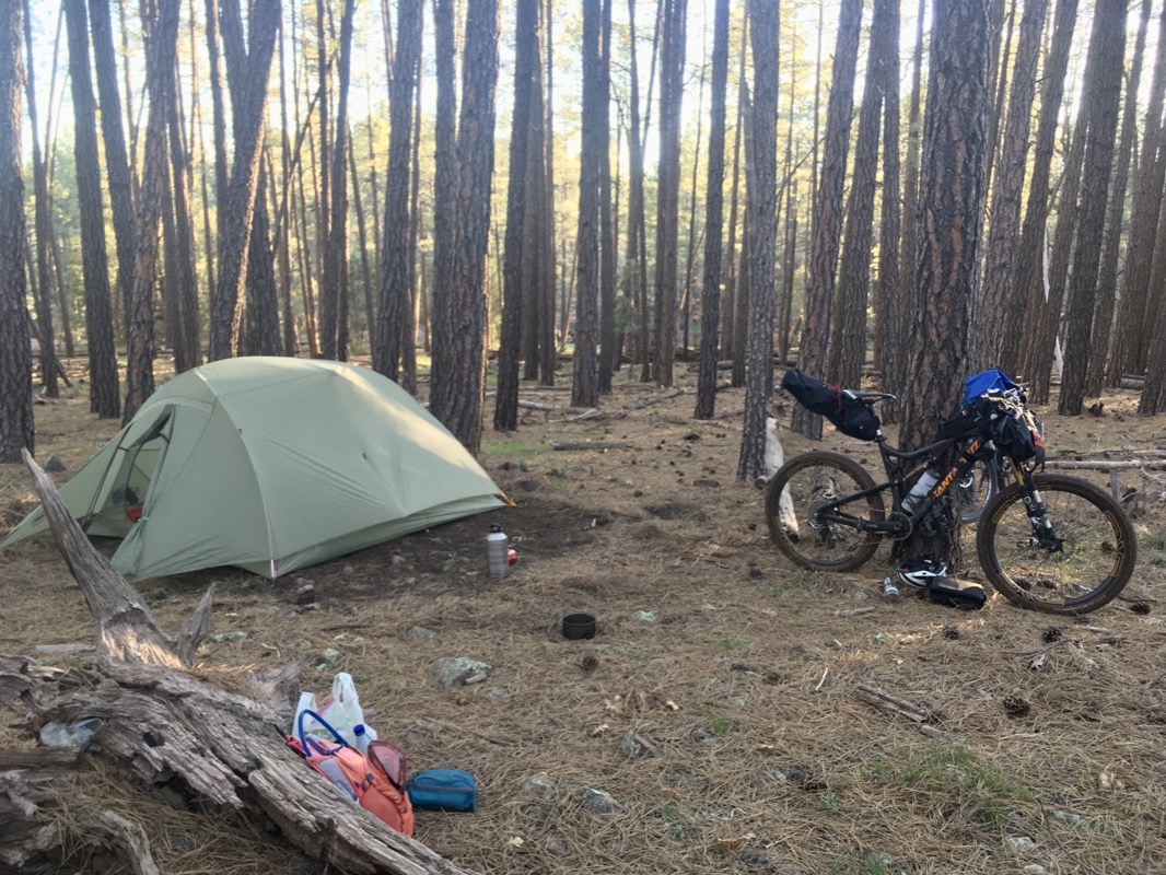
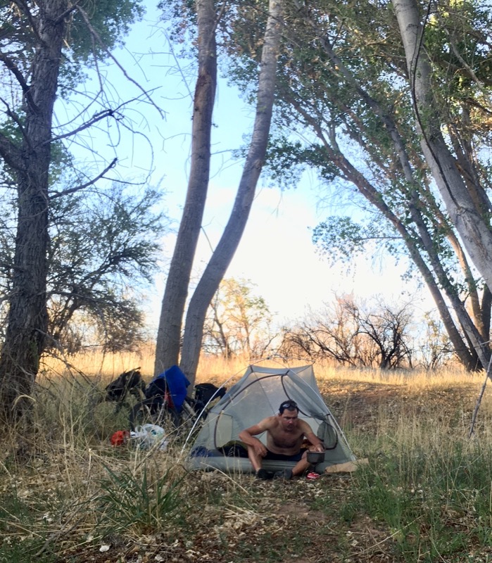
When we got to the campground, we were pretty beat from the sun. Unusual for us, we were too lazy to find wild camp – so we asked the camp host if they were “really” full. Usually there is always room for bikers. He called around, but no cancellations so far. But then he told us where we could get a pretty nice free site by the river not far away. Now we are by the lazy river under cottonwood trees.
View from tonight’s camp.
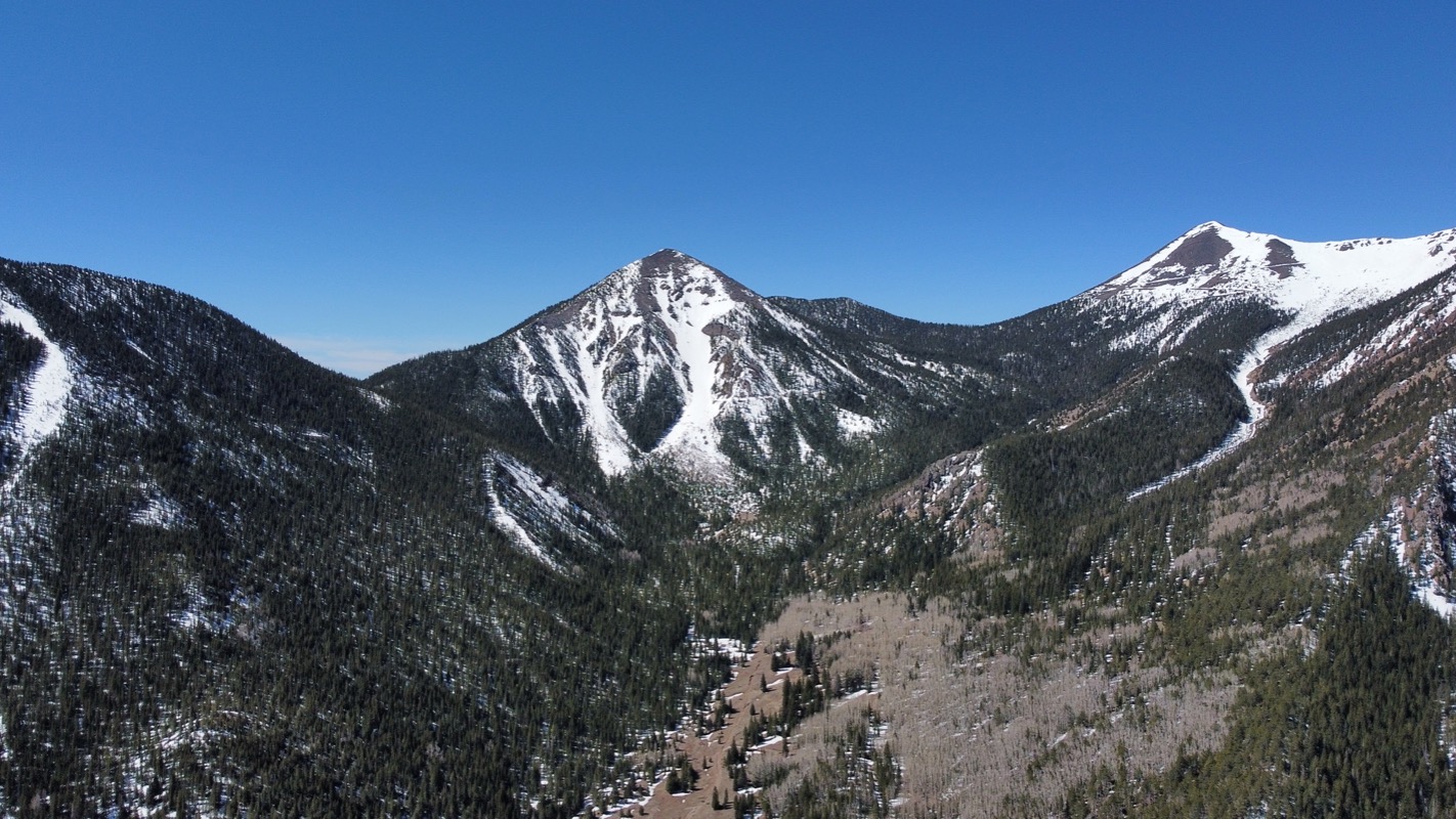
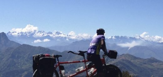
A peek at the San Francisco Peaks. Janet maintains that they received this name because Westward settlers thought they were almost to San Francisco (California).
*Fast forward one day: we learned that the peaks were named by the Spaniards after Saint Francis de Assisi. I like Janet’s version better, so may continue promulgating her legend.
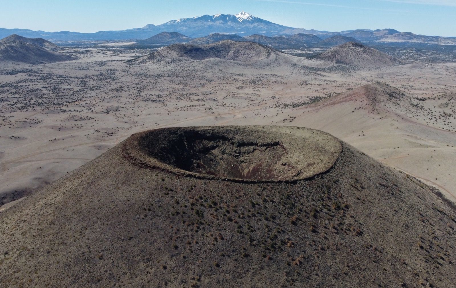
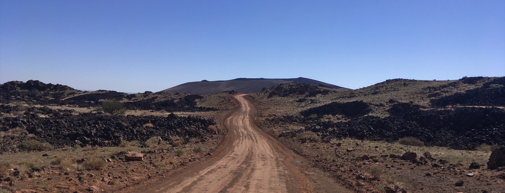
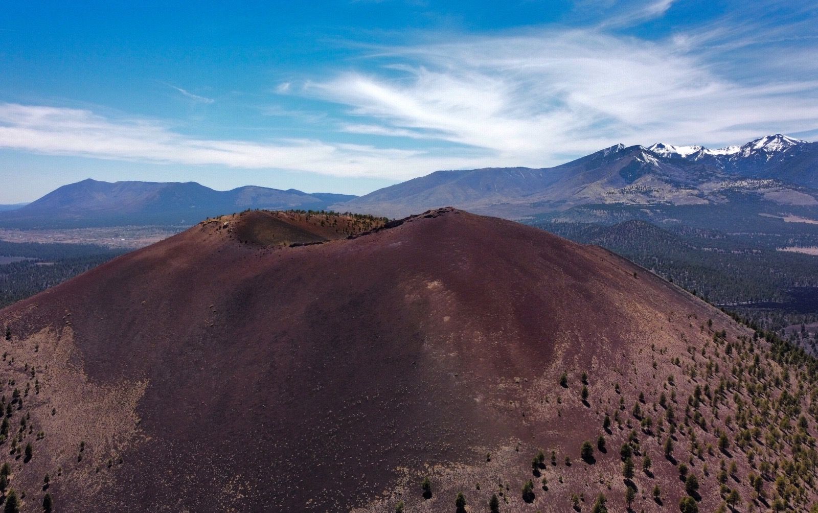
SP crater. I had been looking forward to this one after seeing the topo map. You’re allowed to climb to the top, but my drone can ascend 12x faster than me at full speed, so I let it have the pleasure instead.
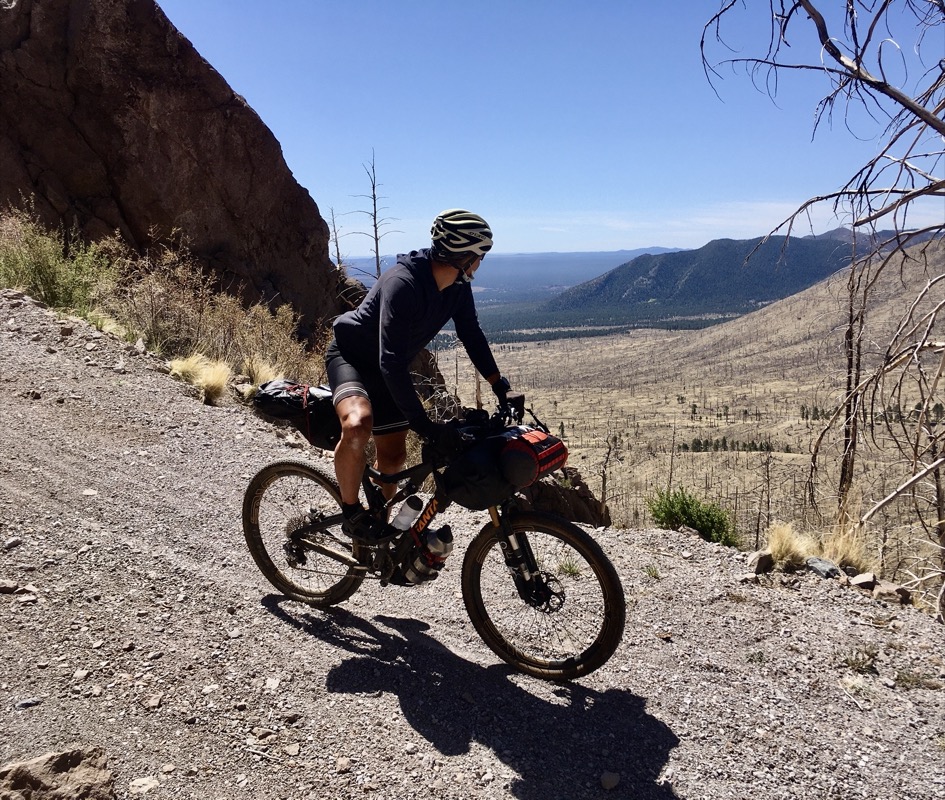
Down the Waterline road for 9 miles. No traffic as there was a lot of old timber downfall from burned trees. There is a buried water pipe here carrying water from the Inner Basin of this old volcano down to Flagstaff.
Saturday night’s campsite by the Verde River. We camped by the same river on Friday night near Cottonwood – only 13 miles away as the crow flies (over a mountain). It was a quiet night except for one bawling cow.
There were quite a few people here but I chopped them out of the photo. We talked to a couple of people today who started their sentences with, “Back during COVID…..”
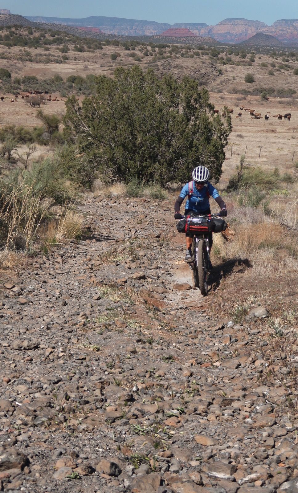
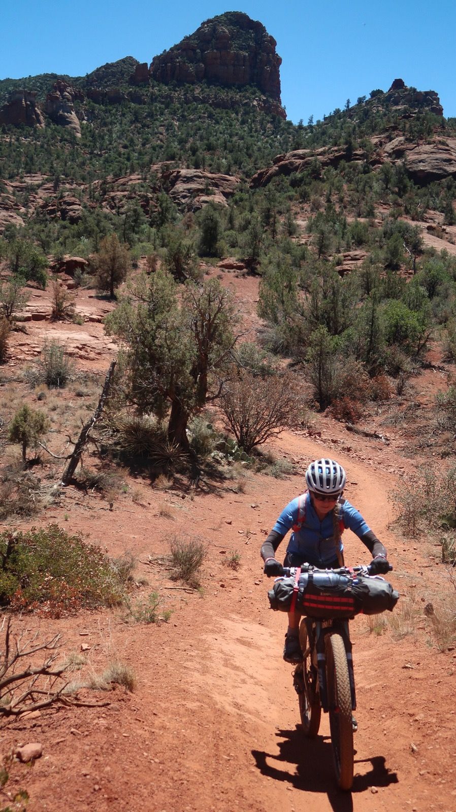
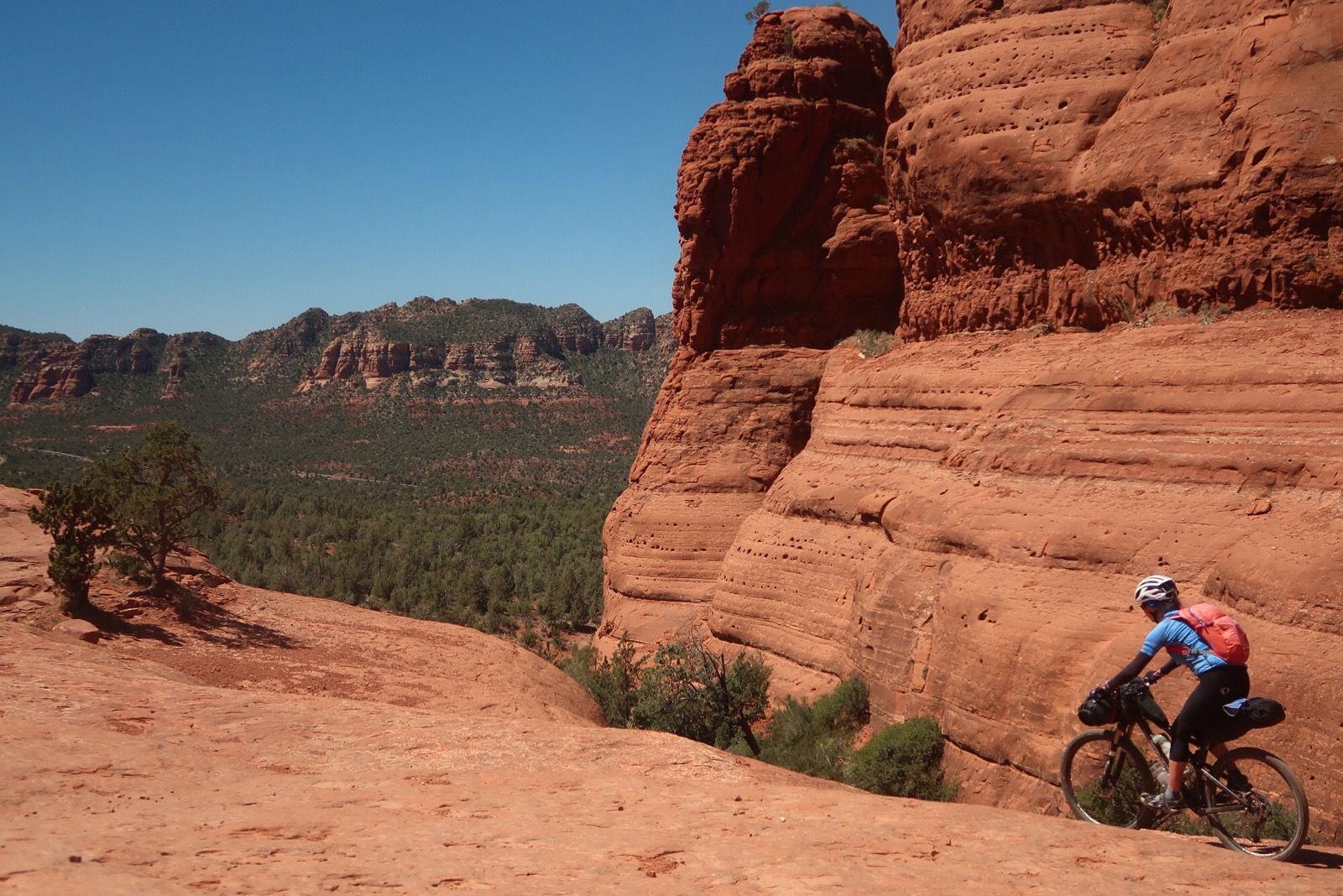
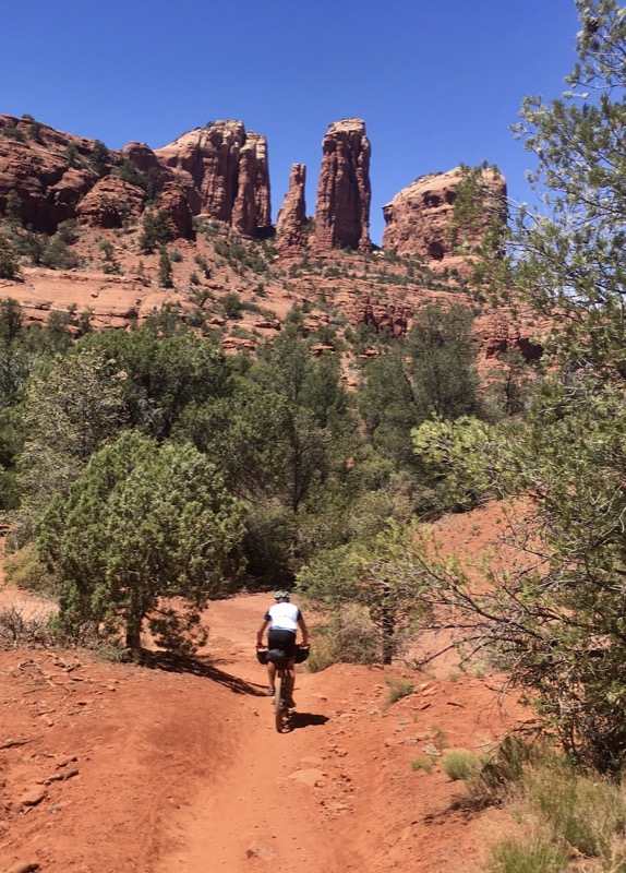
Lime Kiln trail to Cottonwood. We took this trail for 15 miles and it was mostly easier (downhill).
This is Sunset Crater, inside Sunset Crater National Monument. Janet climbed this more than once at ages ~10 to 12. It wouldn’t be easy because of the loose cinders. She was one of the last people to climb it because in 1973, they closed it to climbing!
*For those interested in details, I conducted this flight from just a few feet outside of the national monument boundary.
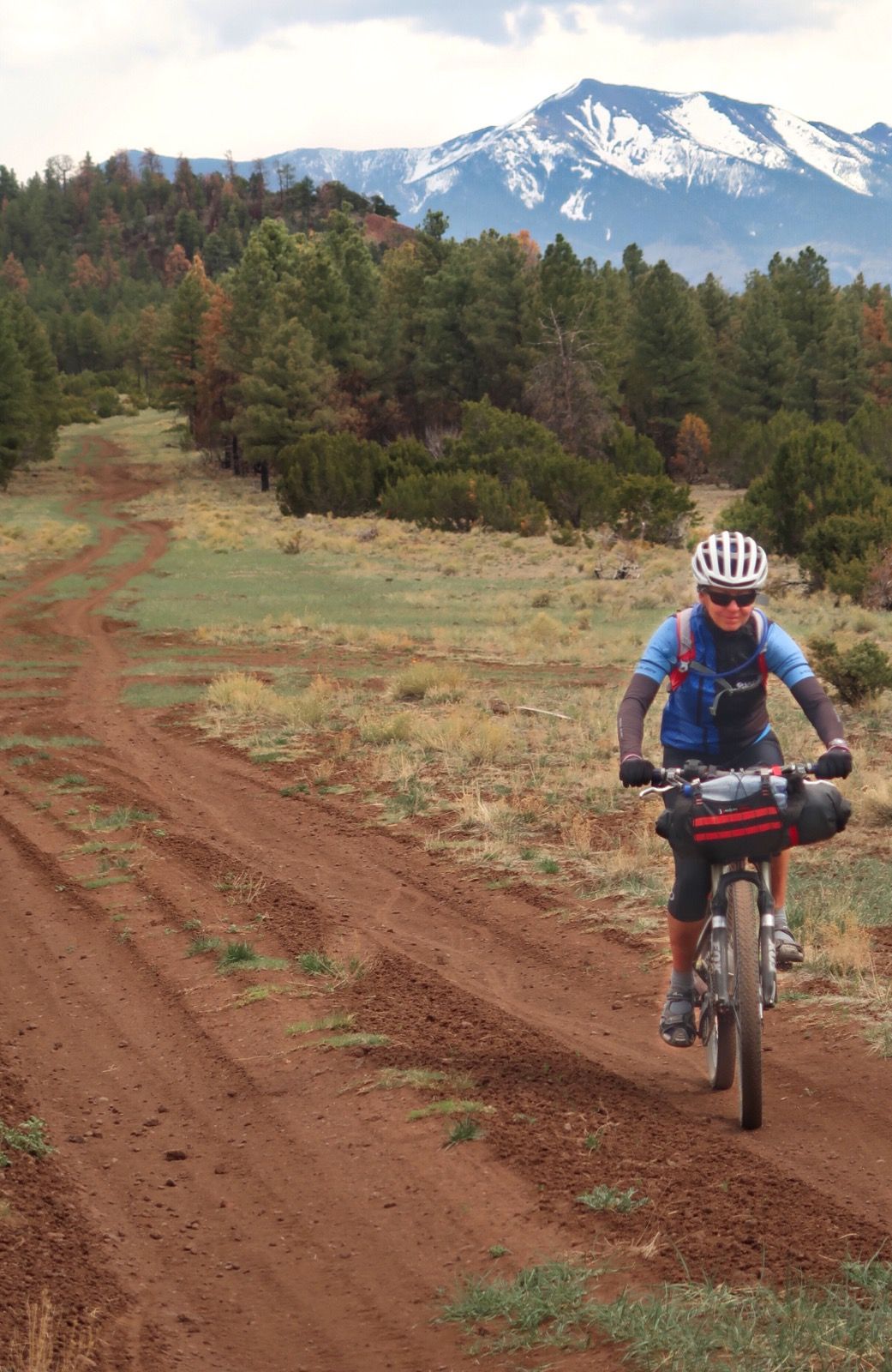
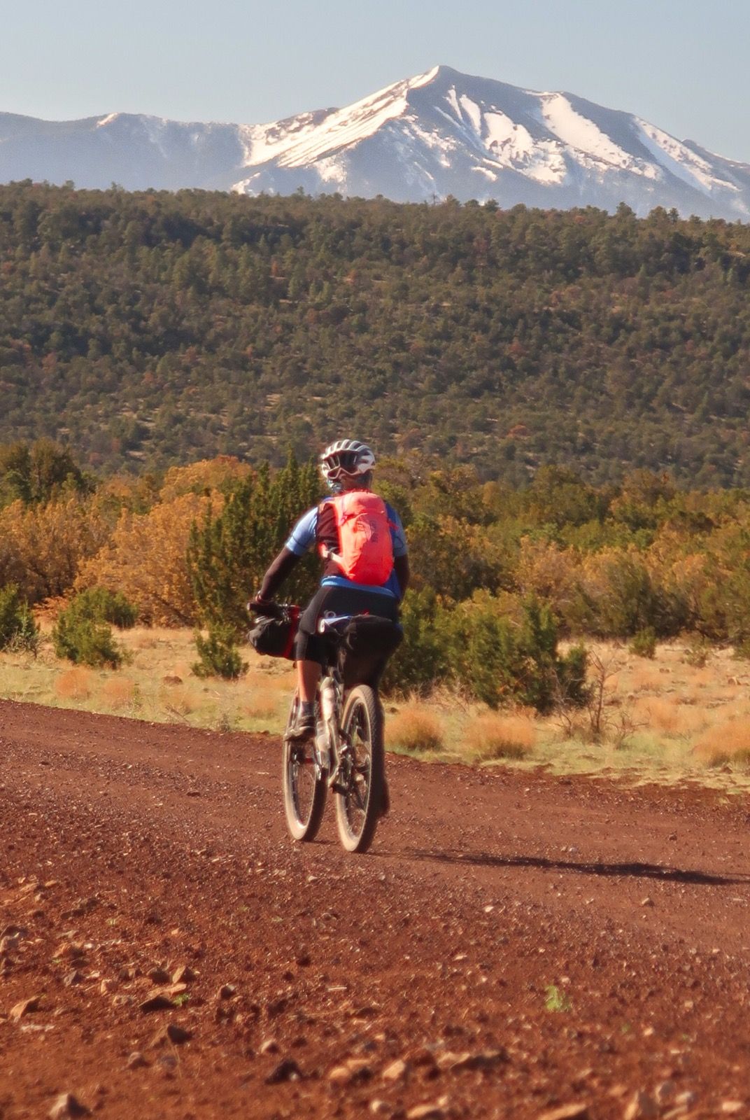
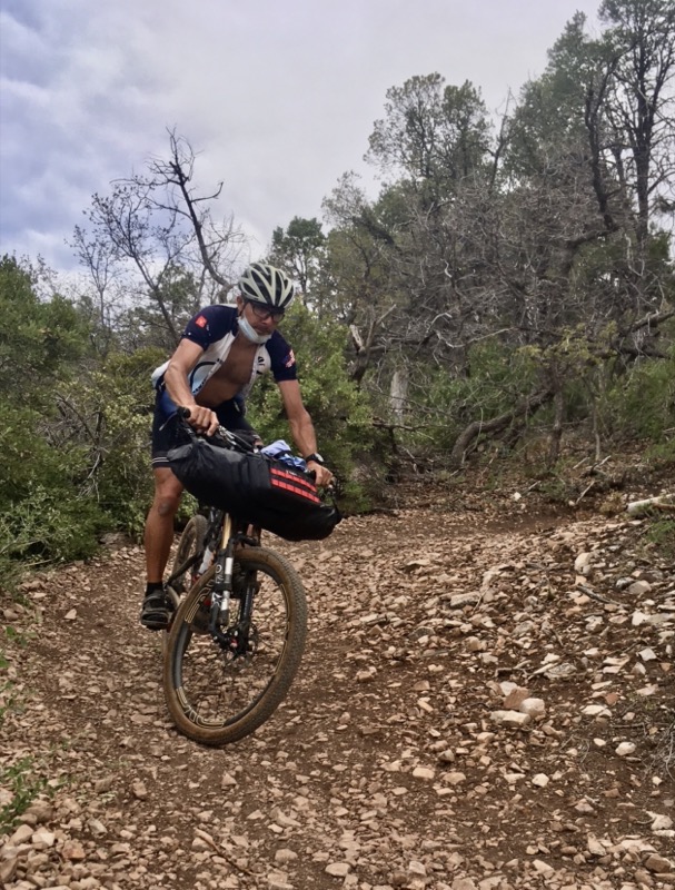
Janet doing well today! This route is technically a lot easier than the Coconino Loop, and we are appreciating that. Also, temperatures are perfect up on the rim.
Campsite by the Verde River at Dead Horse Ranch State Park. The official campground was full so the camp host recommended we camp here. Thank you!
We saw 2 springs that were not noted on the map, and filtered here on the 3000 foot climb up Mingus mountain.
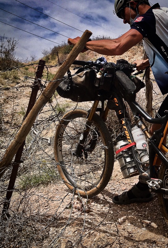
After Crossing HWY 89 on Day 3, we took Harris road… according to the route.. but it’s a semi-private road. At this time, they were allowing cyclists through the entry gate. However, when we went to exit the property, we encountered this barbed wire fence. The route might need some updating!
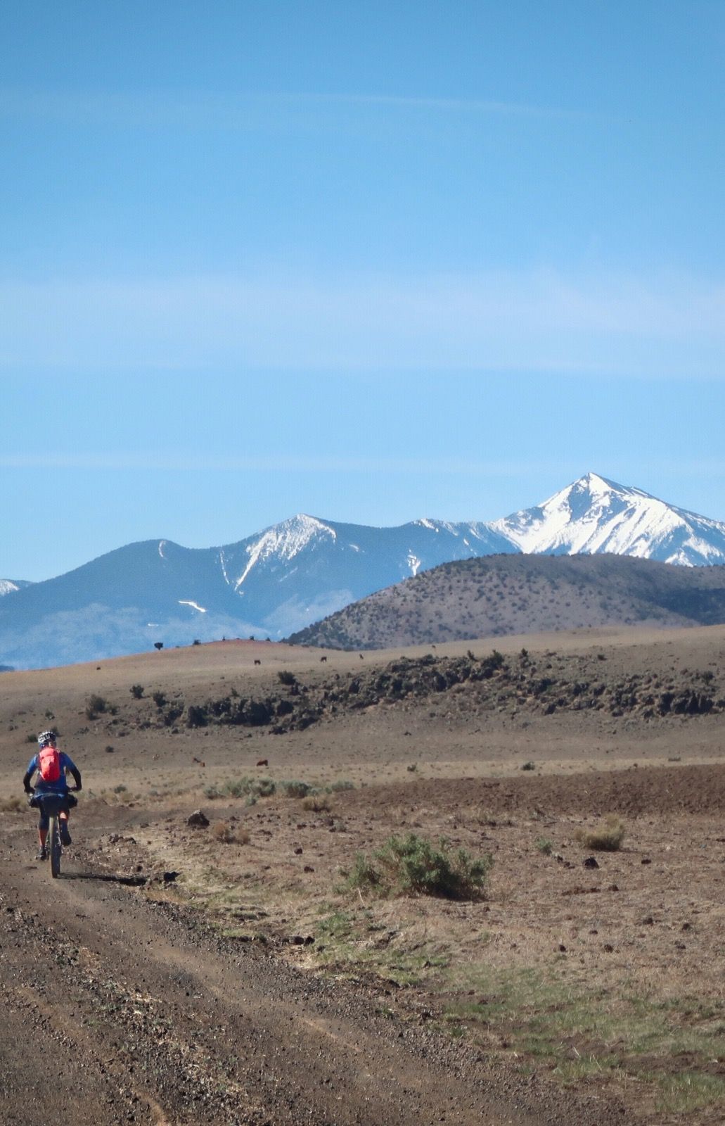
Just us and the cows out here.
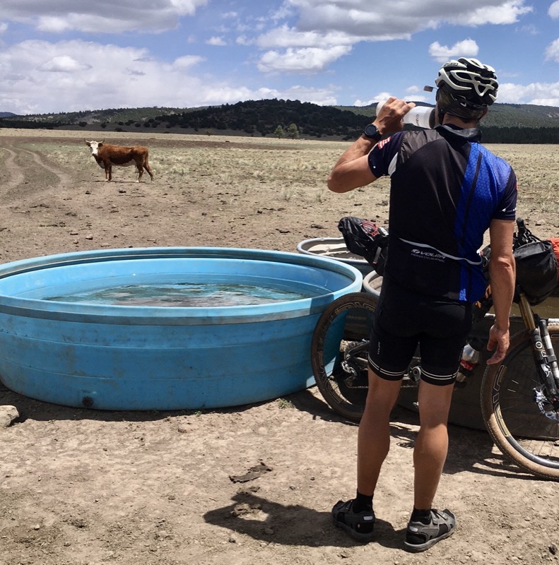
We had a lot of possible water sources marked on the map – by us, the route planners and other riders. All were for livestock and some were dry. We got the feeling this gal did not want to share so we rode on.
We dropped Little Yaeger Canyon single track.
Llama trail.
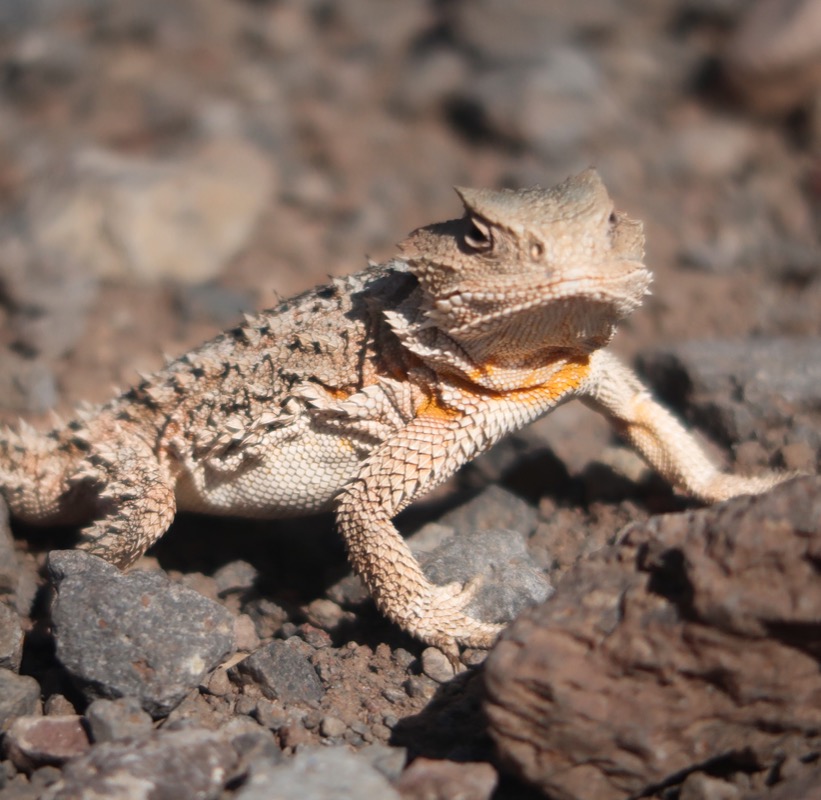
Horny Toad!
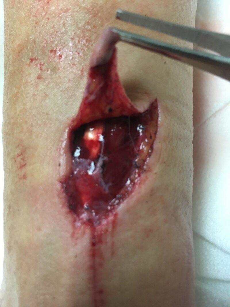
Janet crashed on Schultz Trail! A young MTB rider took her in his car to the hospital and I zoomed down on my bike to meet them. She got stitches and is OK. Whew!


Inspirational and informative. I just wish I was a bike packer!
Thanks, Nancy. You can be whatever you want… including a bikepacker! P.S. This post was supposed to be privately published, but then the notifications went out anyway 😞. Post isn’t even done yet – but thanks for the comment 😊