Bikepacking Peru – Oyon to Huancayo via Rio Cañete
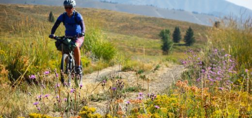
This section contains an extended section of super scenery – and it isn’t in the super high elevations like some of the other scenic routes we’ve recently discussed. Before I get into discussing the route that we took, I want to acknowledge another great cycling resource for this section. We used This Page and this page from the Pikes’ Andes by Bike website when planning our route. We made some changes to their route which hopefully improve upon it somewhat. For example, since 2015, there seem to have been legal issues with the security for a mine between Oyon and Abra Rapaz, which we sought to avoid.
Our route takes you through Churin ( 10.80884° S 76.87601° W ). You may be surprised to find that this is a “tourist hub” for the Churin hot springs. Those hot springs are up a big hill to the West towards Andajes. We did not visit these hot springs (don’t worry there are a lot of other great hot springs you can visit along our route).
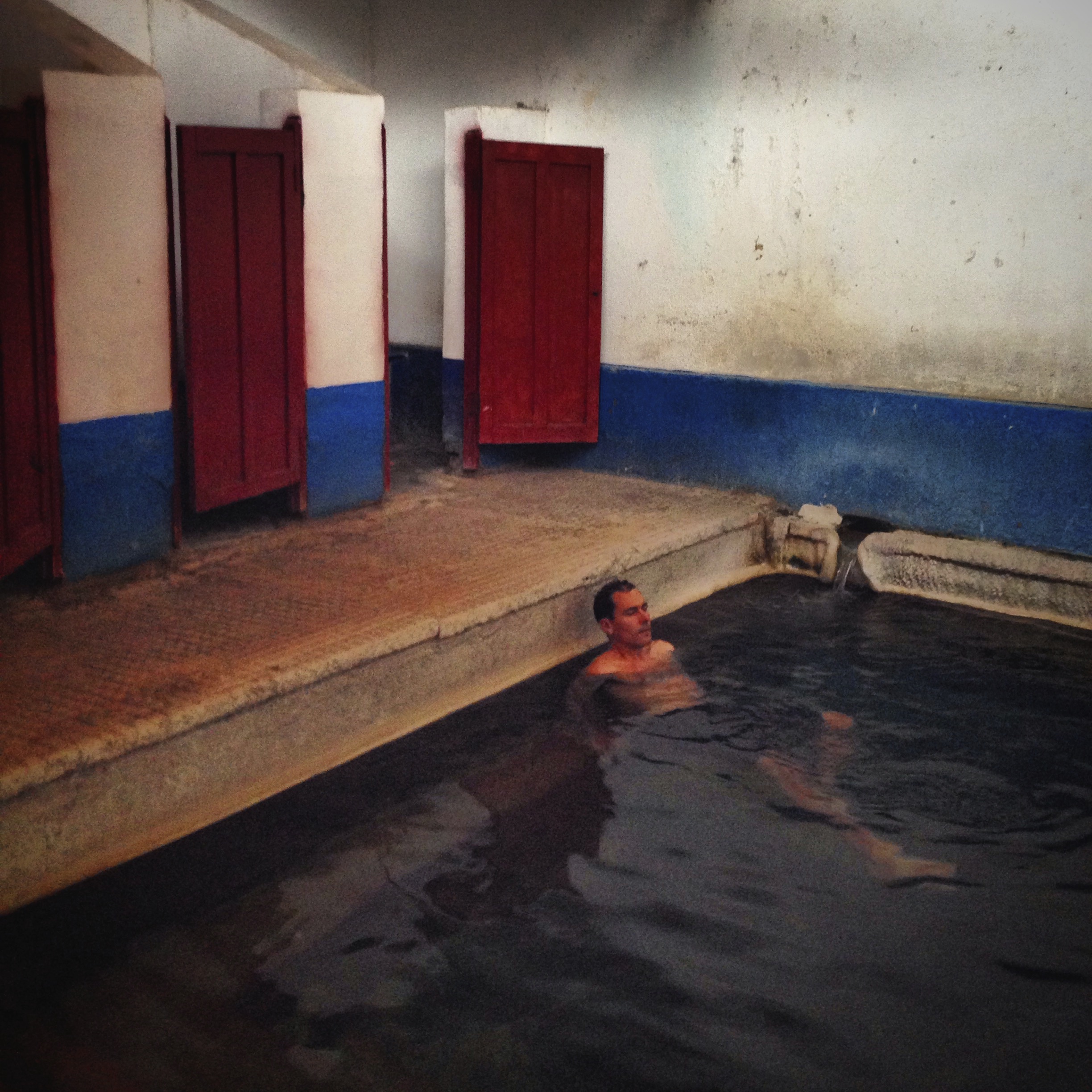
We came across some hot springs located at 10.92758° S 76.77958° W – they have many bathing options – pools and private pools. Cost was 3 soles per person (about $1). There are hotels in the area – one of which looked quite nice – but the owners were not going to be around for a few days (typical of this region).
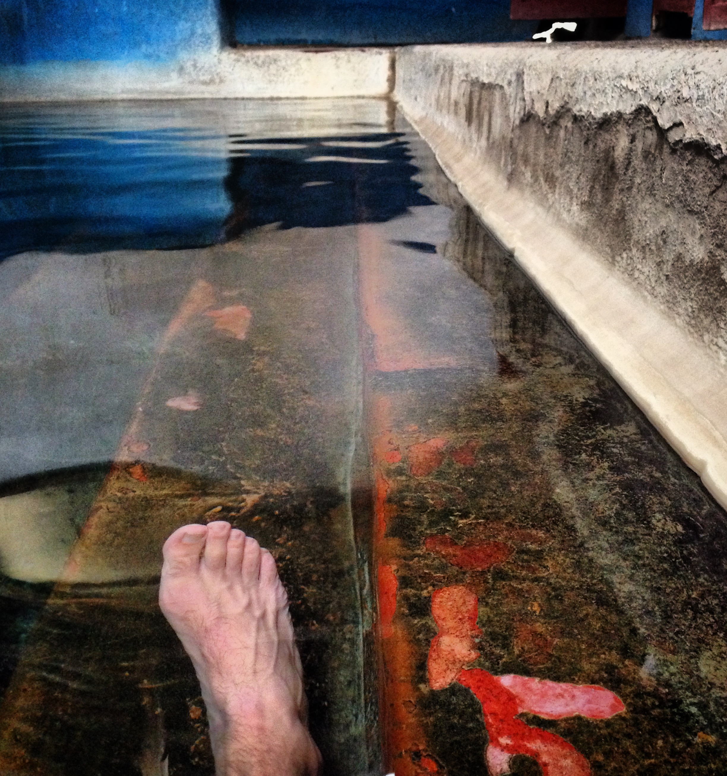
Termales Chiuchin located at 10.92758° S 76.77958° W It appears that the area is being developed – more hotels seem to be in the process of being built. As is the case with other hotels along this entire route, however, there is rarely anyone around to check you in – it is almost as if everything is closed.
The Pikes’ route takes you over Abra Rapaz. As mentioned earlier, we decide to skip this for a number of reasons. For one, our route looked easier. Instead of a long climb over 16,000′, we would descend slightly on pavement, and then do a smaller climb later to rejoin the route. If you follow our route, and you’re really into hot springs, you have the opportunity to visit 2 more hot springs than you would if you went over Abra Rapaz. Another big reason that we went around the pass is that there have been reports of the region being closed due to a mine that uses the road. We felt that there are no negatives to our route.
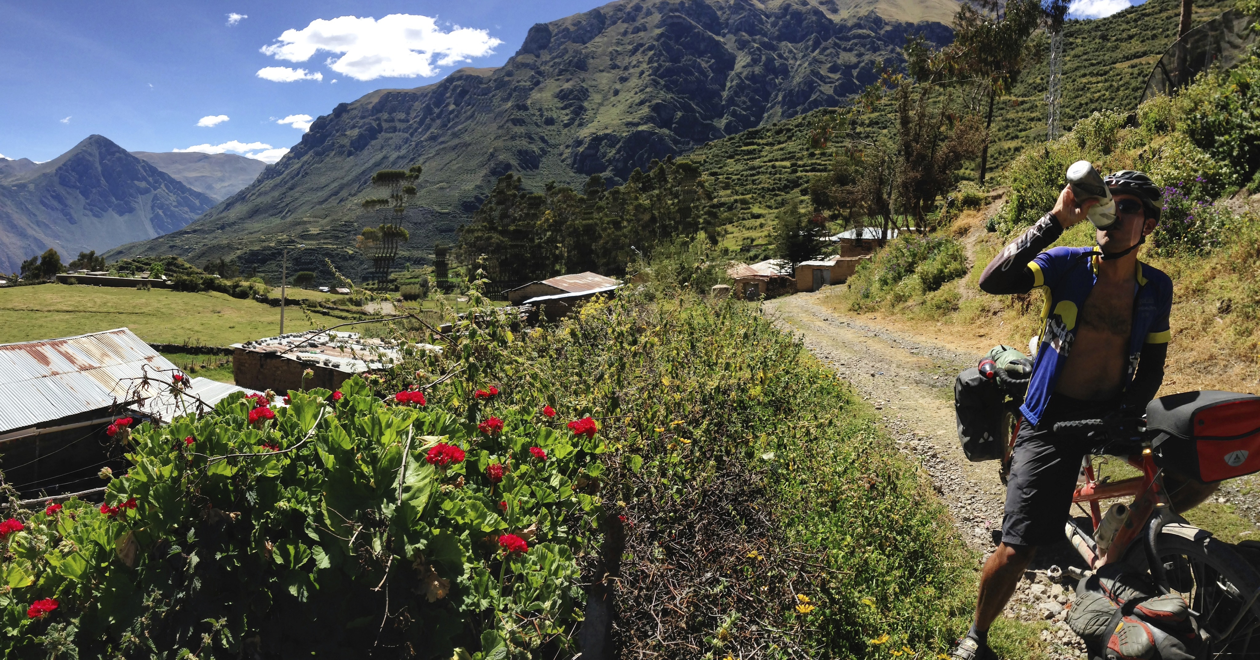
Picoy. It is more-or-less possible to resupply here. There is a little store here: 10.92757° S 76.74167° W and the woman who was running the store had her son show us a room that they could rent – but it was below our standards (open shower with no privacy, and the room was a mess)
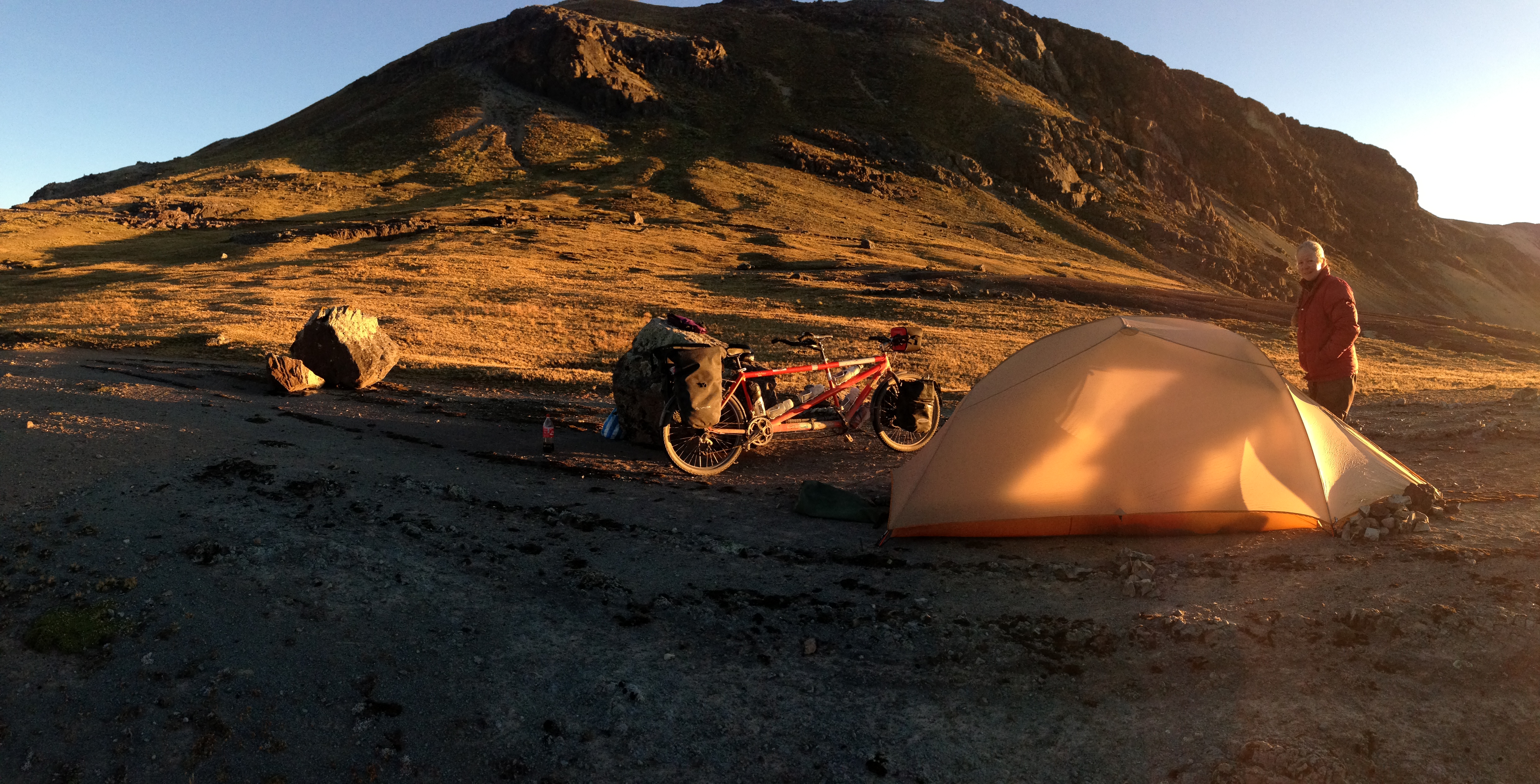
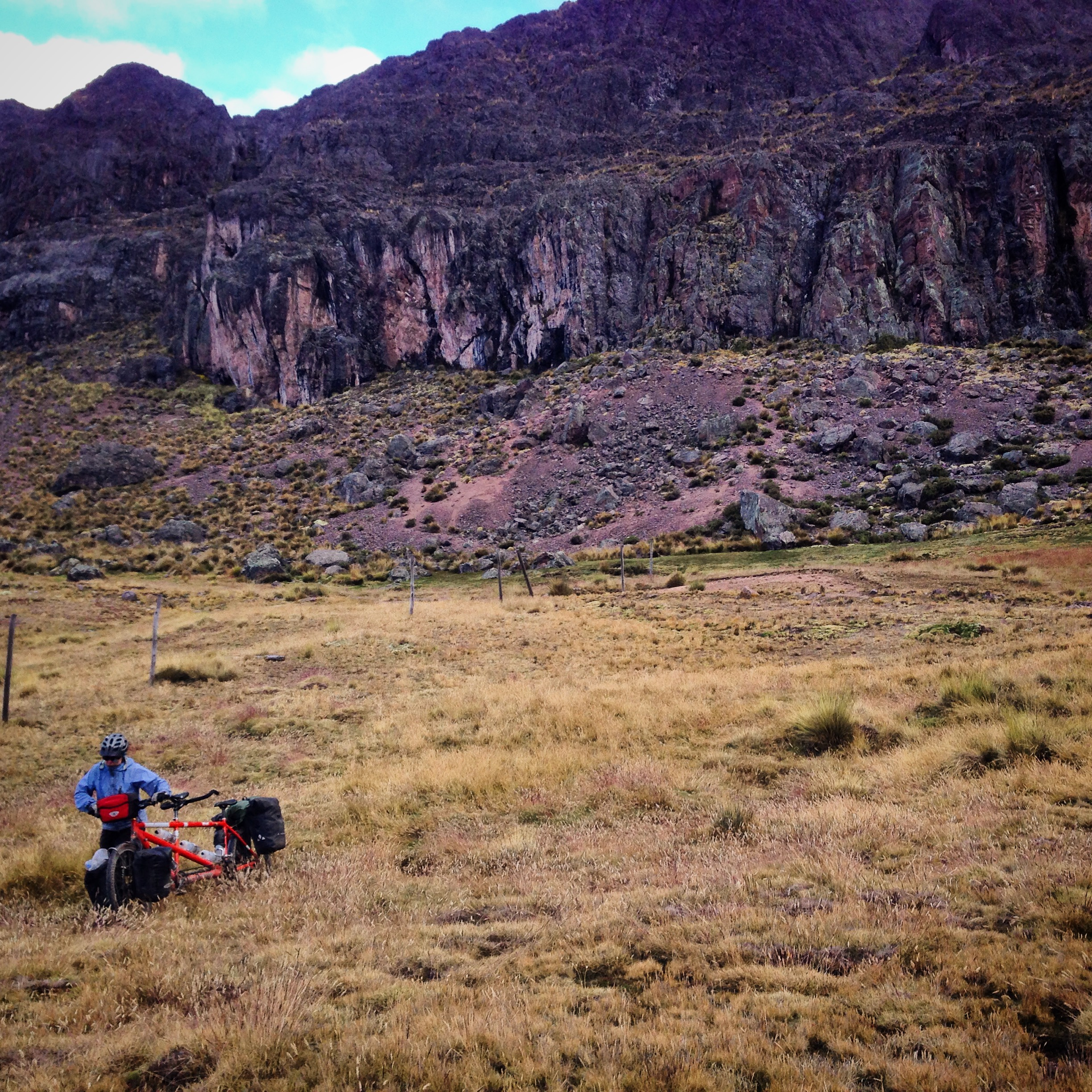
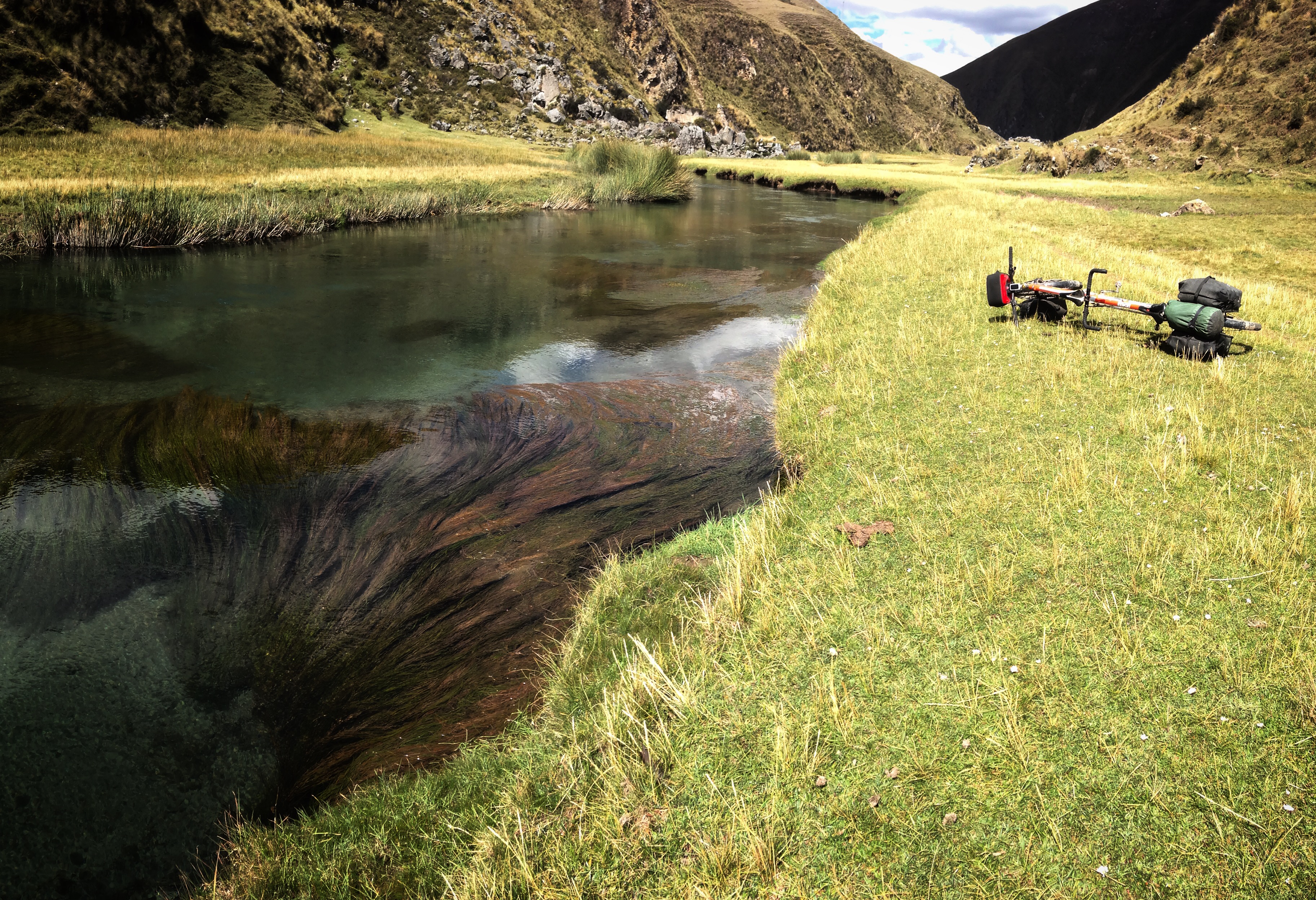
I would have liked to stay in Chiuchin – but it seemed like such a short day from Oyon. This spot seemed very comfortable for overnighting, unlike locations further along the route such as Picoy, Paquin, and Huancahuasi.
We went out of our way up a long climb (back towards Rapaz) to visit the Huancahuasi hot springs. 10.90088° S 76.72117° W They are somewhat developed, and upon arrival, we were given permission to camp on the premises. Our site was good and safe, overlooking the area. A boiling hot “stream” flowed through the campsite – we obtained water from it – which we ran through our Sawyer filter. It was then that I learned that using hot water “cleans” the filter – water flowed through very easily.
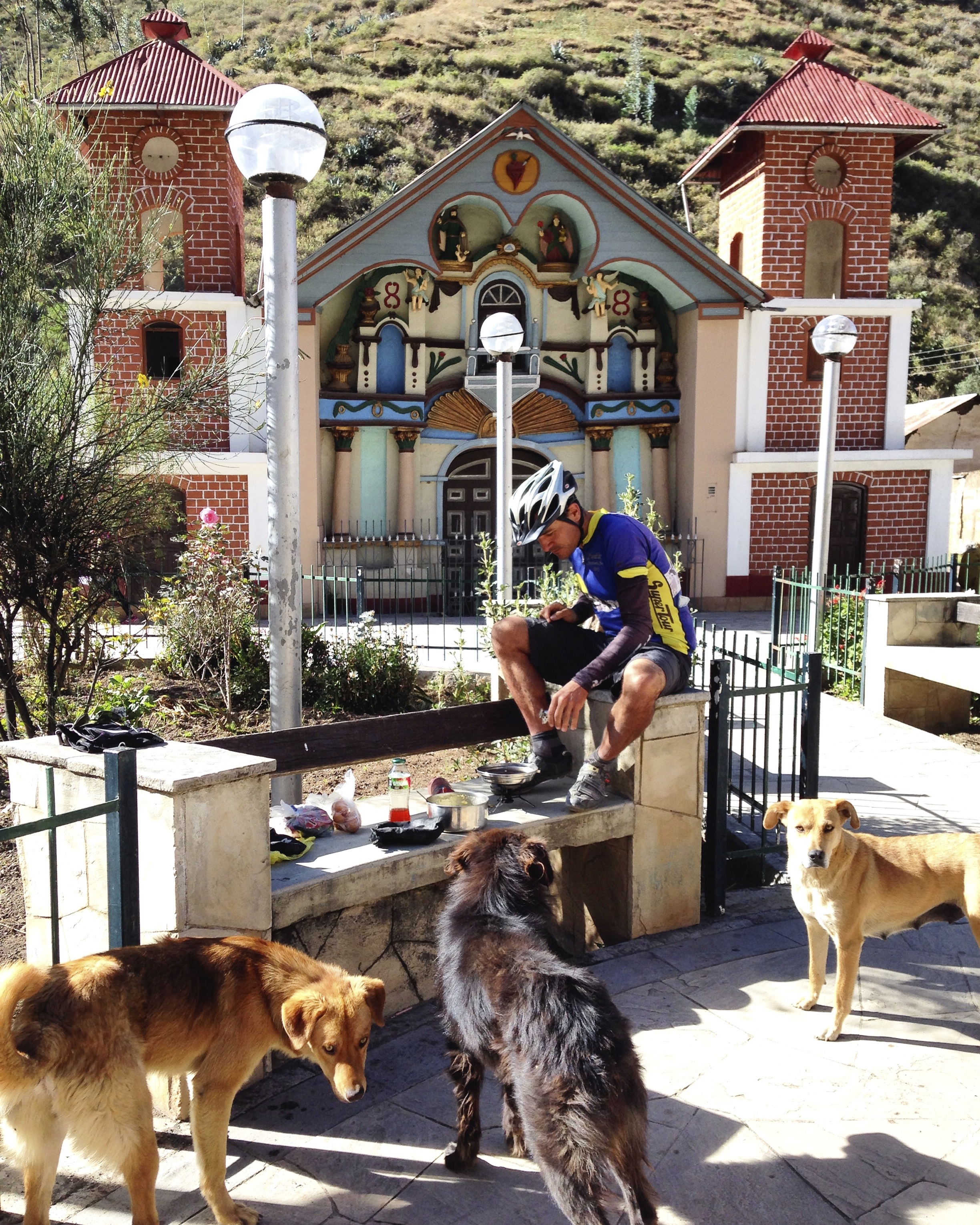
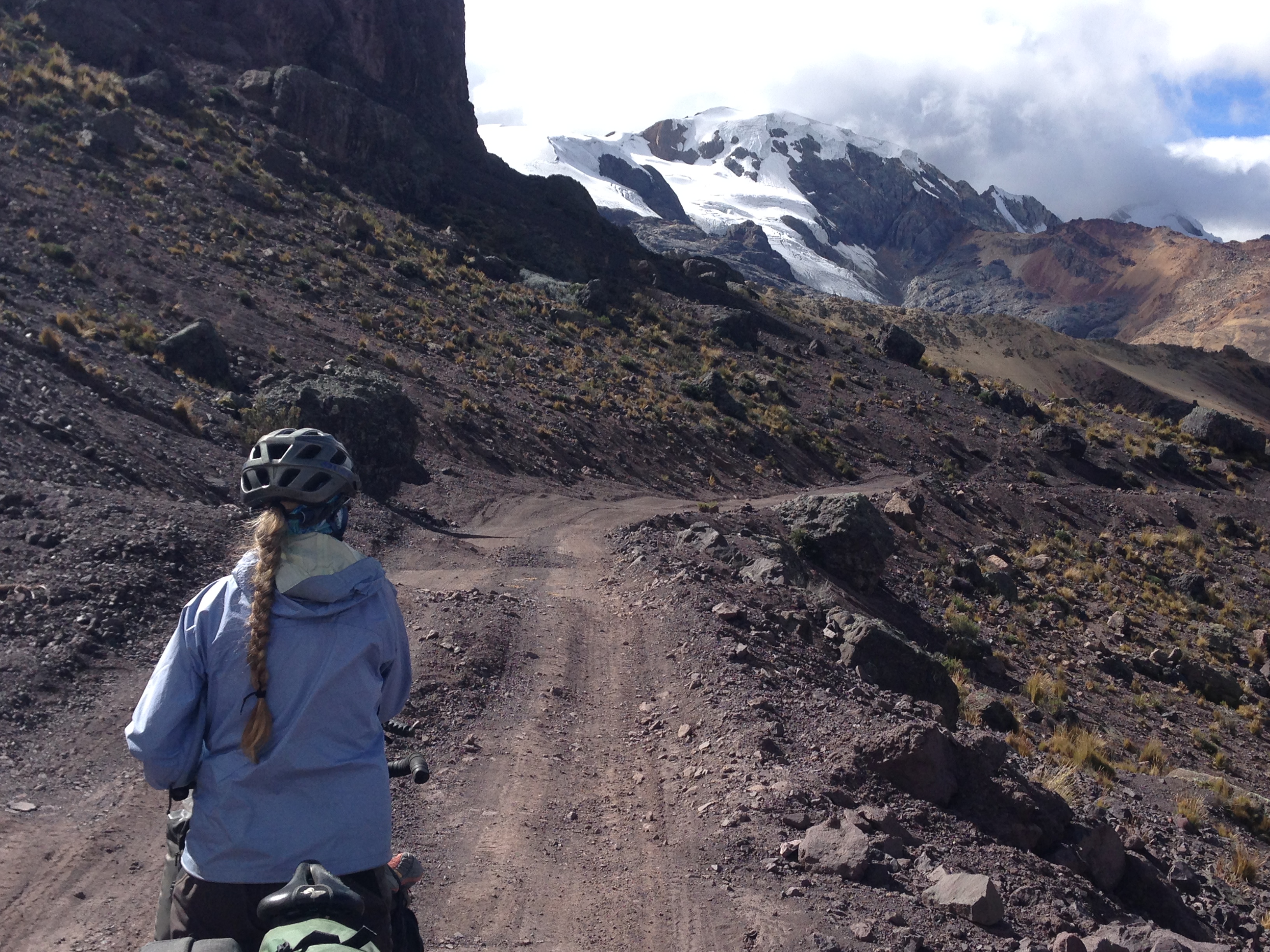
Just above Paquin. You can resupply here – this was one of our favorite resupplies. There was a woman named Amelia who told us that other cyclists come through and always stop at her store because the grade is less steep right in front. She asked Janet to sit down and told her that the Gringas are always so beautiful coming through here – and that she felt sorry for them because they were about to climb a painfully steep hill. Ameila was right – 6,000′ of climbing on a loose dirt road – in less than 20 miles up to 16,000′ plus. This probably remains as one of our slowest average speed days ever. The store is located here: 10.96499° S 76.72041° W
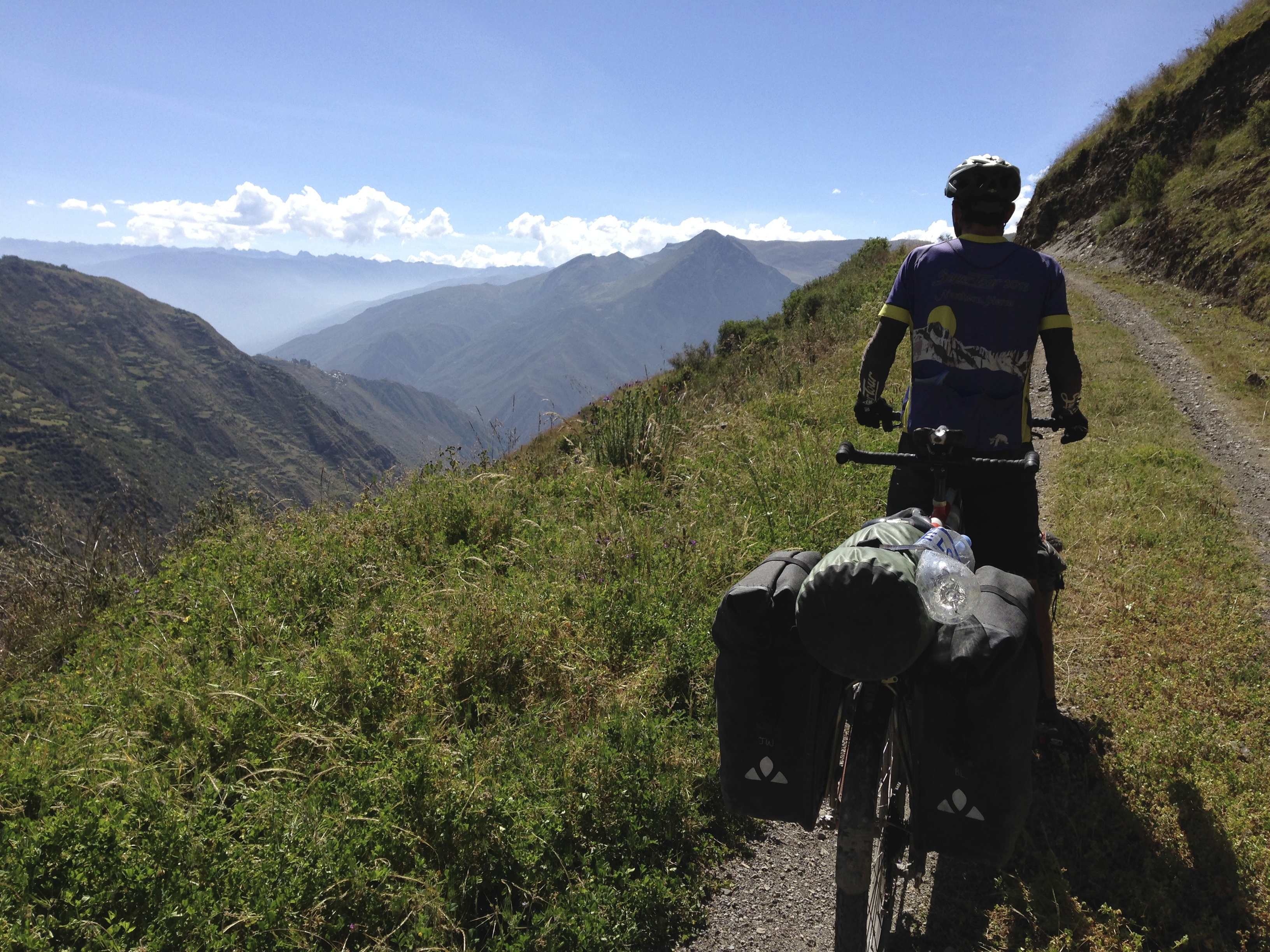
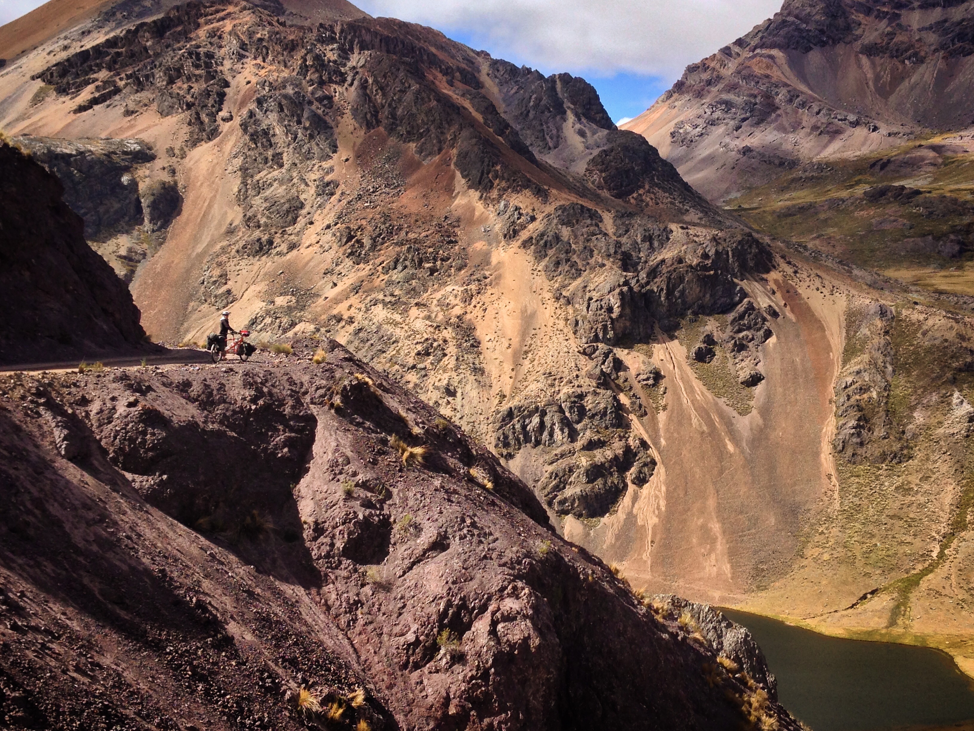
The climb is beautiful – but arduous.
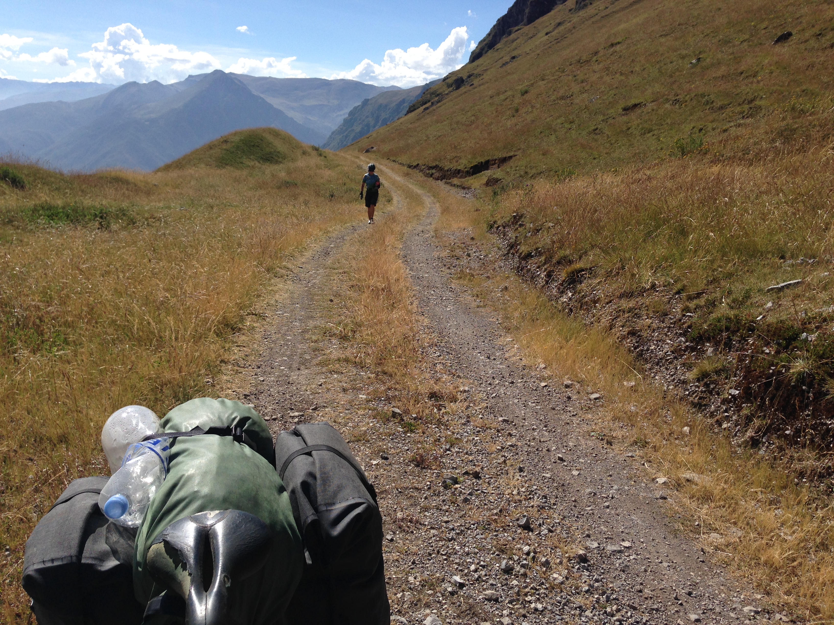
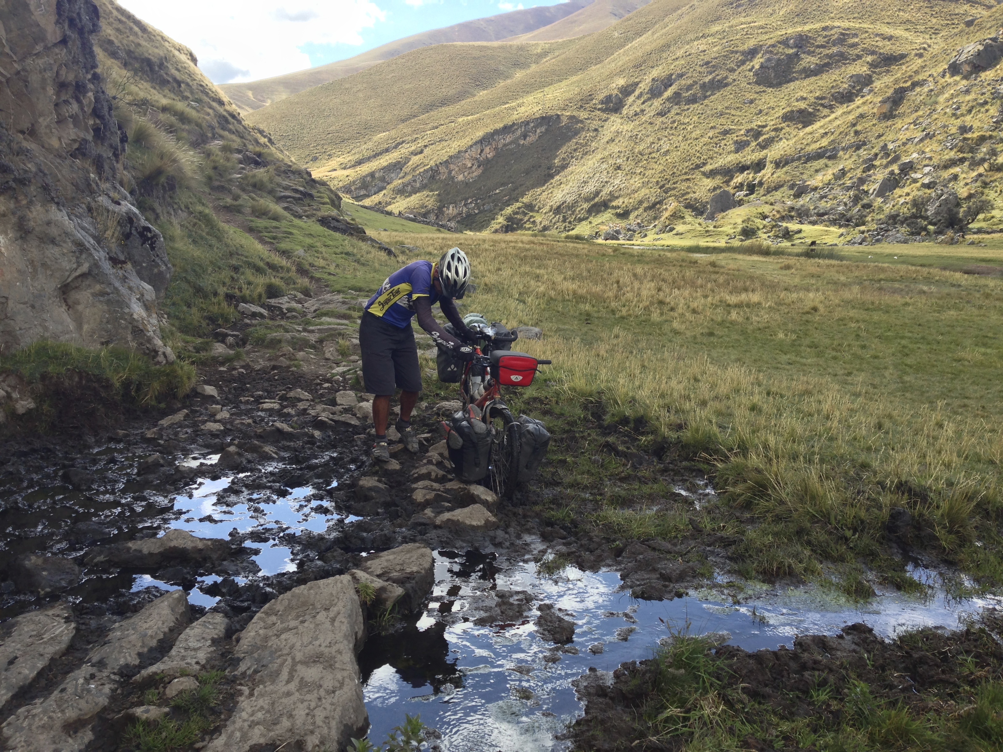
As you near the top of Abra Chucapampa, the terrain gets looser. We eventually found ourselves pushing the bike.
Camp at 16,000′
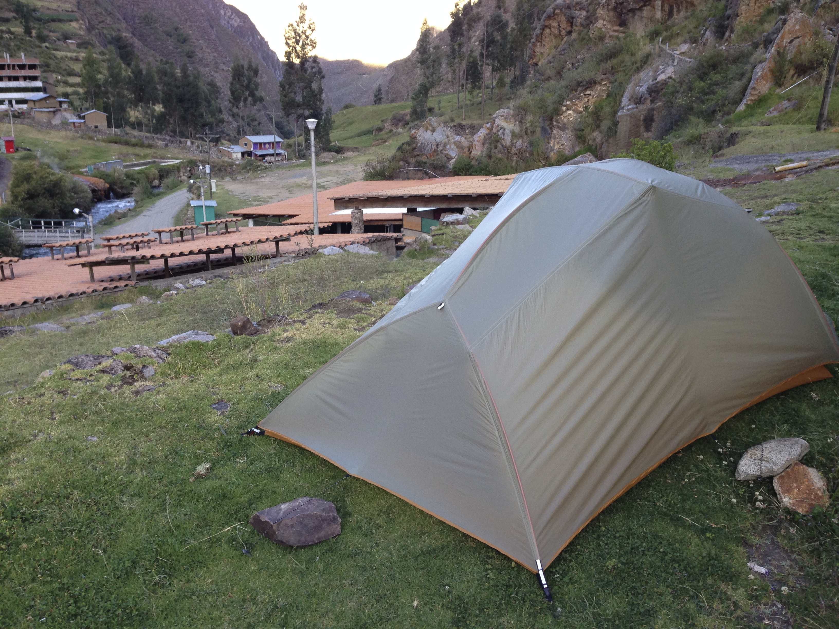
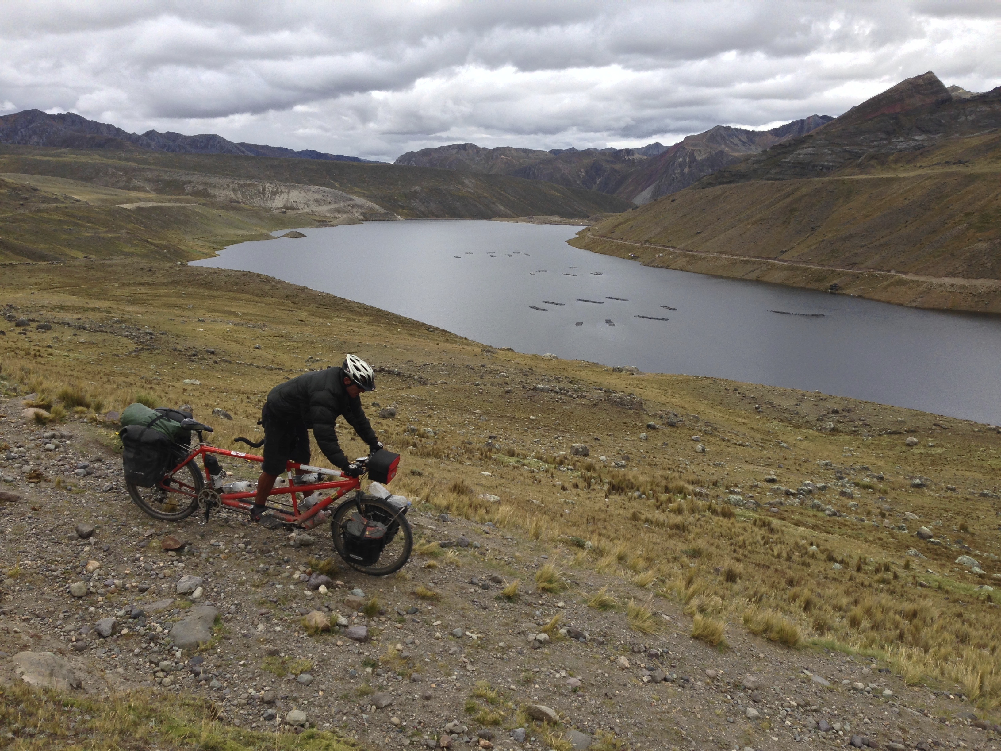
We wanted to resupply at Vichaycocha – but it is a little bit off our route down a steep hill. So, we unloaded the panniers at an intersection and left Janet there to watch them. I rode the tandem solo down to a store located here 11.14132° S 76.62294° W – it was so much easier riding the unladen tandem!
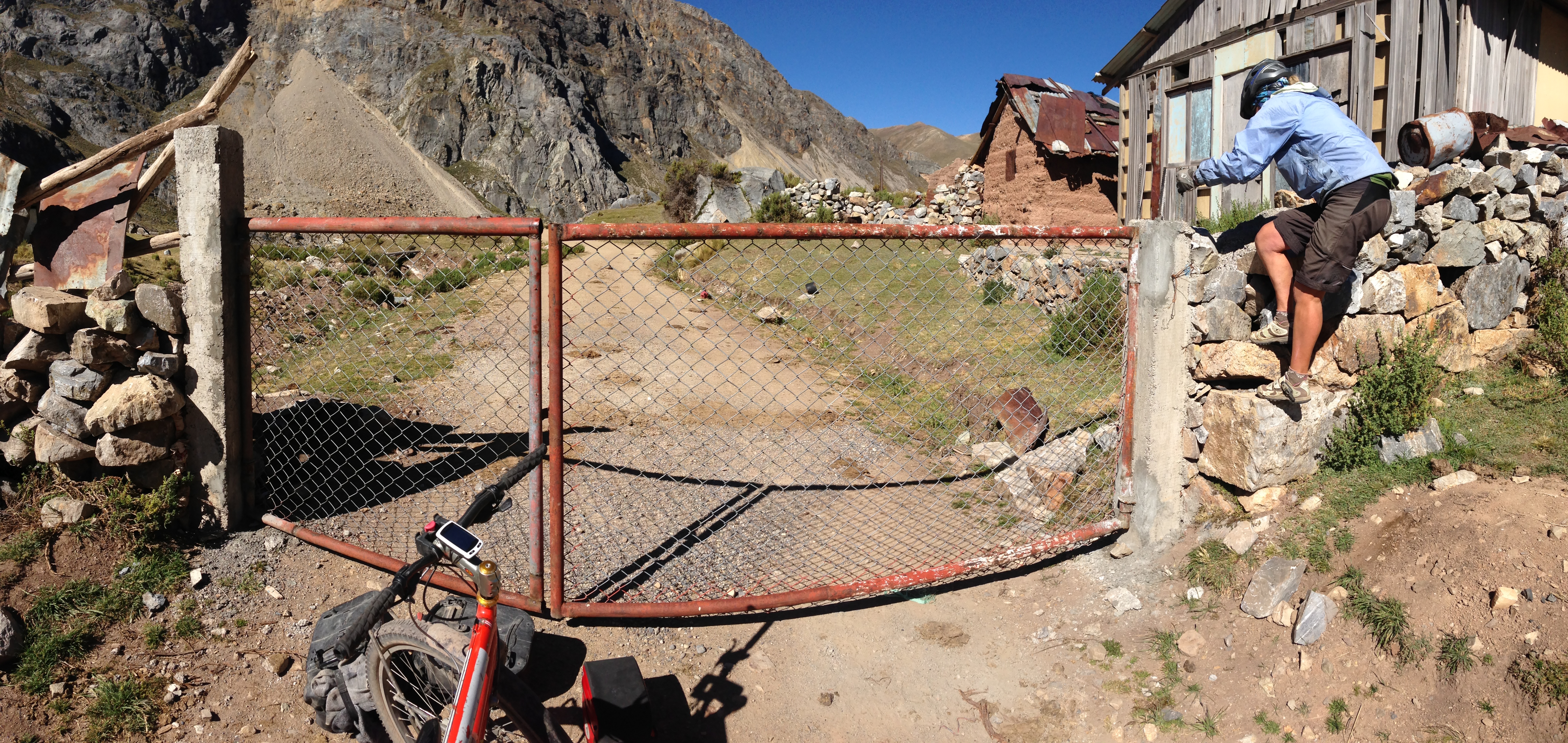
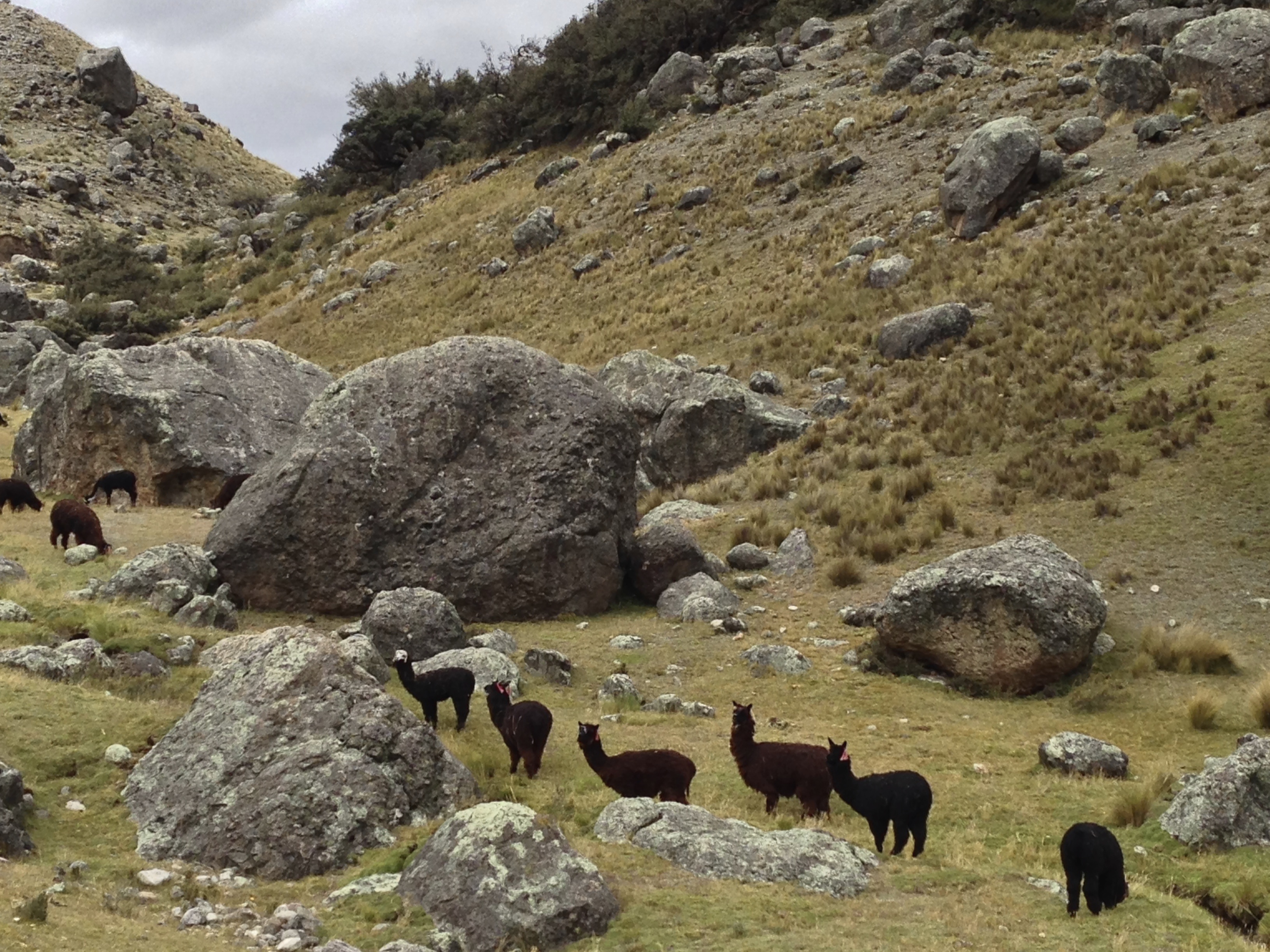
We camped along Lago Yanahiun. The next morning we wanted to ride past Chungar – but the road is closed. Throughout this route, there is never anyone around, so we decided to climb the fence located here: 11.12180° S 76.53203° W – We are not sure about the legality of this route, but this was during a 36 hour section where we didn’t see a single person.
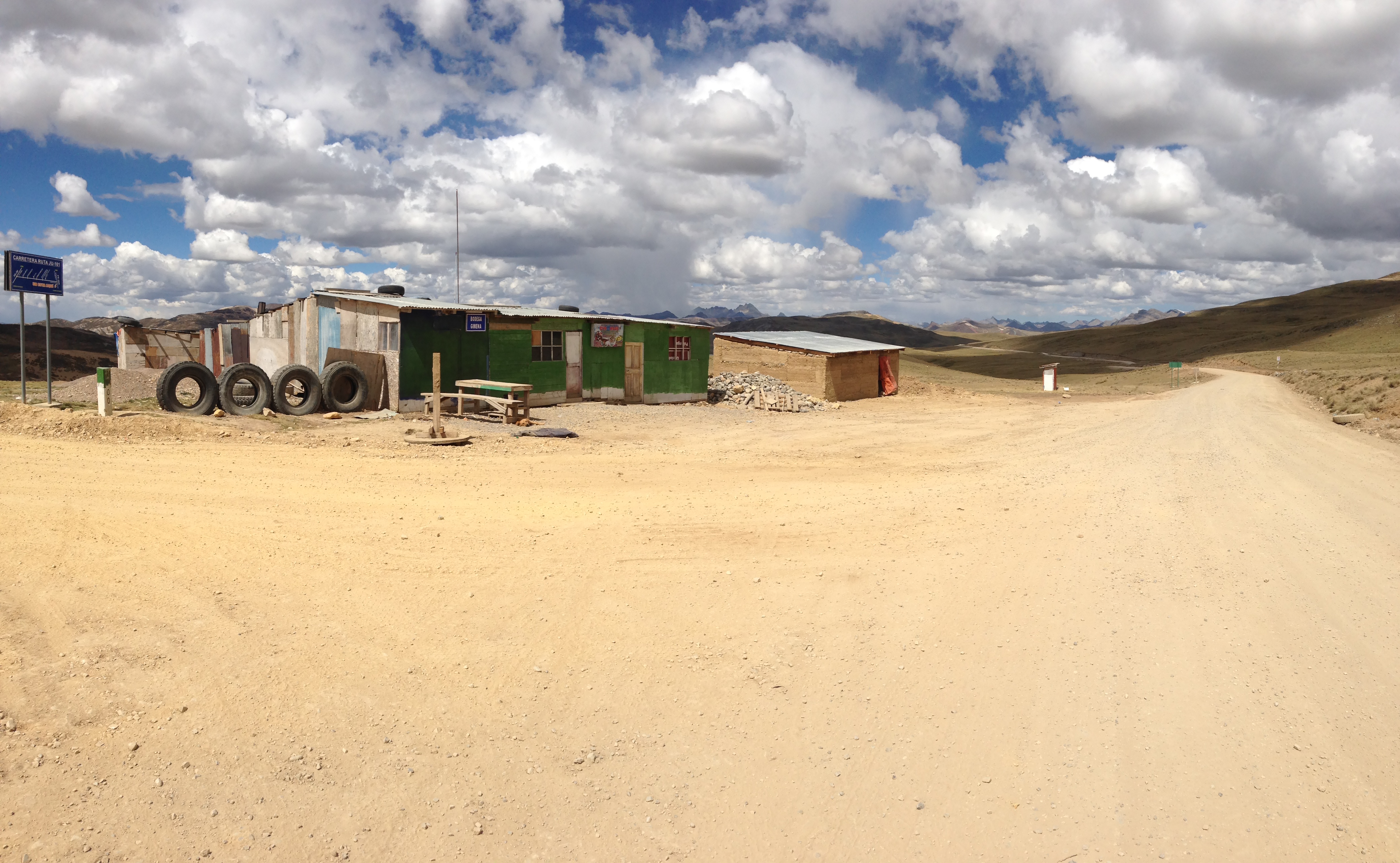
At first, we thought we might be able to grab some snacks here after climbing Abra Ferro Cruz: 11.18172° S 76.44629° W – Not! Like everywhere else, there was no one around.
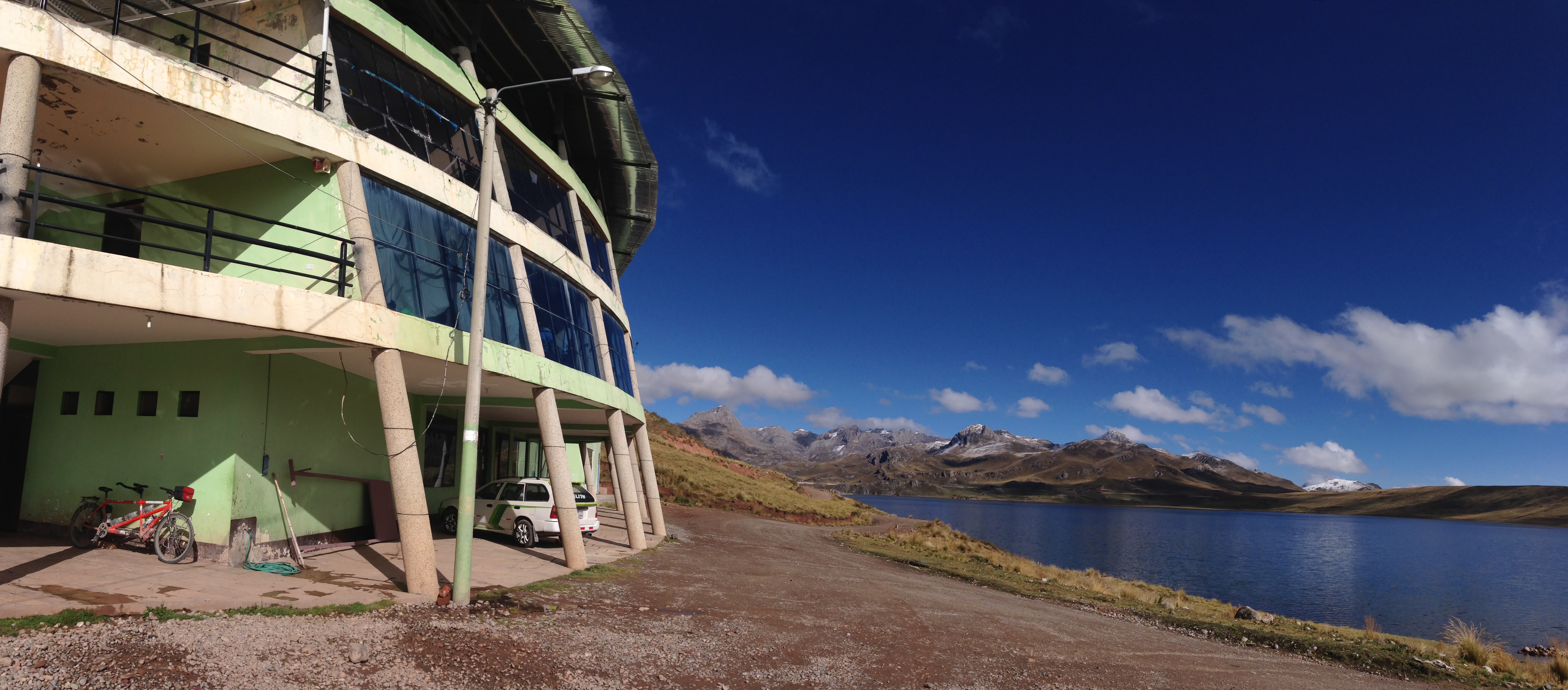
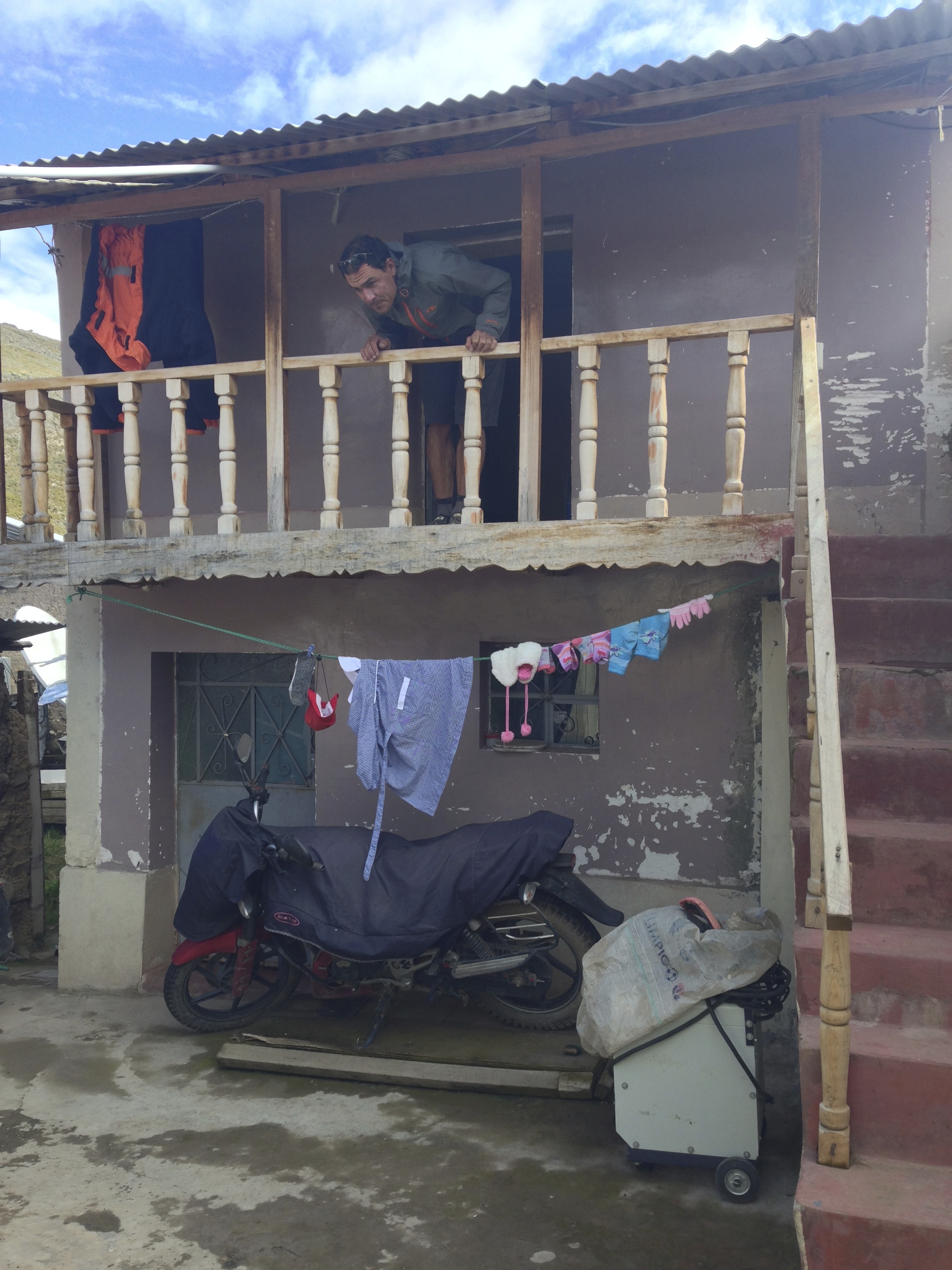
After a long day climbing over 4 passes, the last of which was Abra Alpamarca, we arrived in Yantac. This town had no obvious services. We continued to Marcopomacocha. This picture is a little deceiving (it was taken the next day). When we arrived, it was a blizzard, and we were somewhat desperate to find shelter. We went to this hotel in the picture, and it seemed to be deserted. We wandered around the halls – the wind was whipping the doors open and closed. It seemed like a scene from a horror movie. There was nobody around, so we finally went to the center of town and asked about lodging. There were a few people around, and someone knew someone who might be able to organize a room in this hotel. We did eventually manage to get a room with a beautiful view. Hotel is located here: 11.40793° S 76.33910° W There was also some talk of rooms being available closer to the center of town, but the person who knew the person who knew about this never materialized.
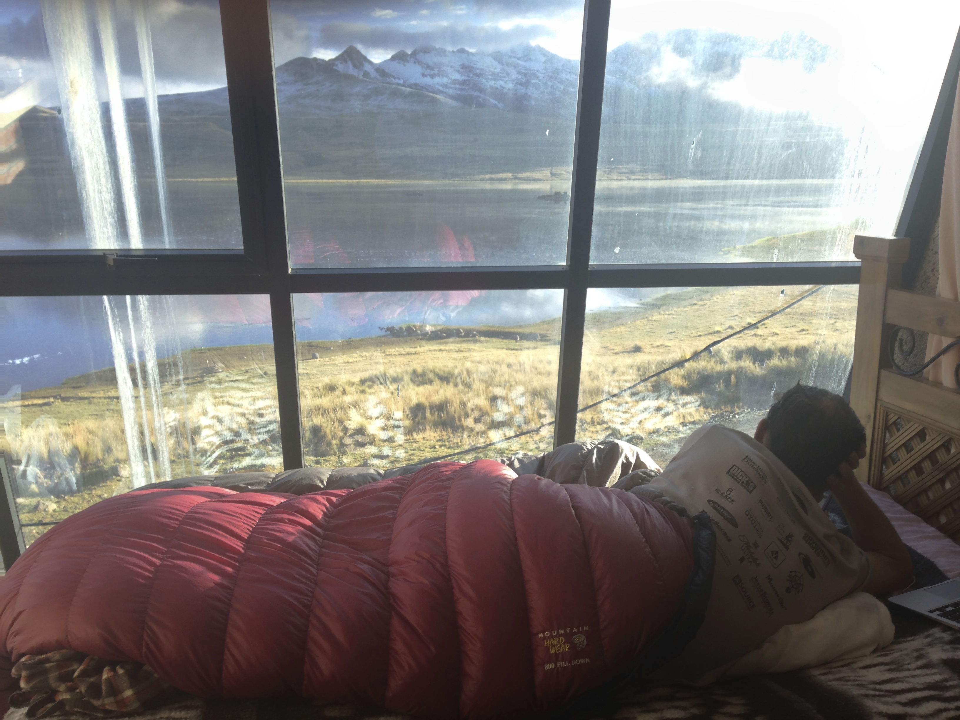
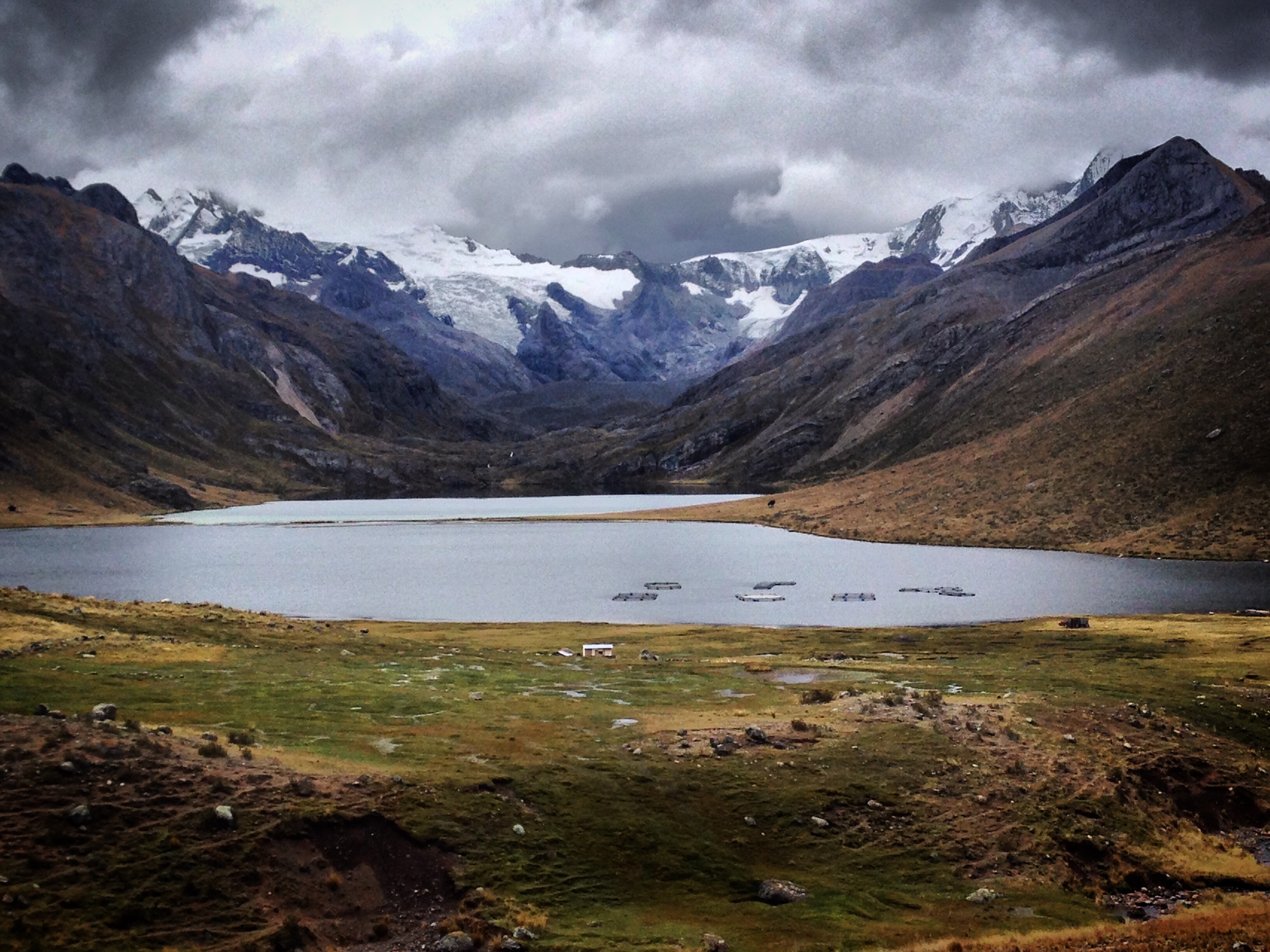
The view from our room was actually pretty good! The night before, in a blizzard, this place seemed despairingly gloomy and haunted with no humans around – but by morning, the view looked like it was plucked from a tourism magazine. This is in Marcapomacocha.
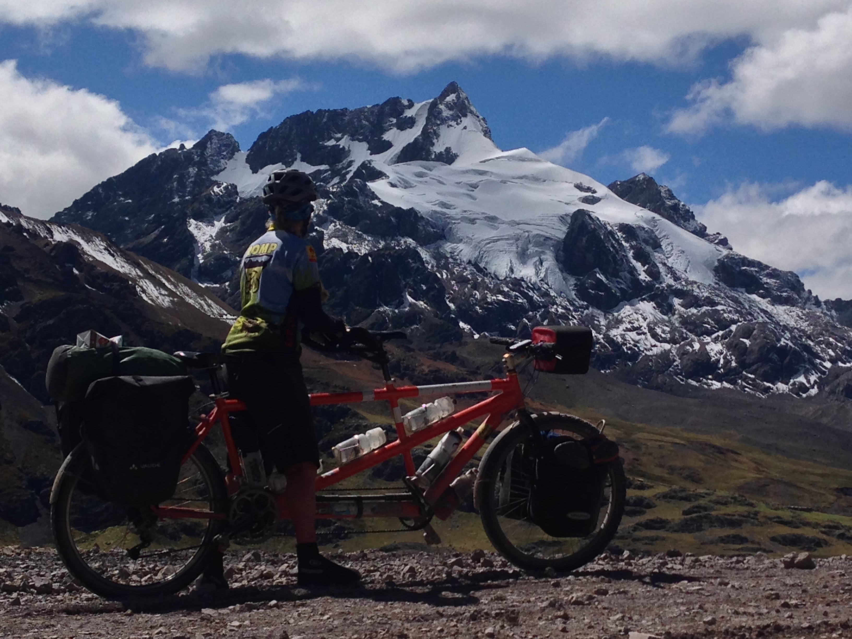
Good quality riding after Marcapomacocha with a view of Nevado Rajuntay from here: 11.56182° S 76.27014° W
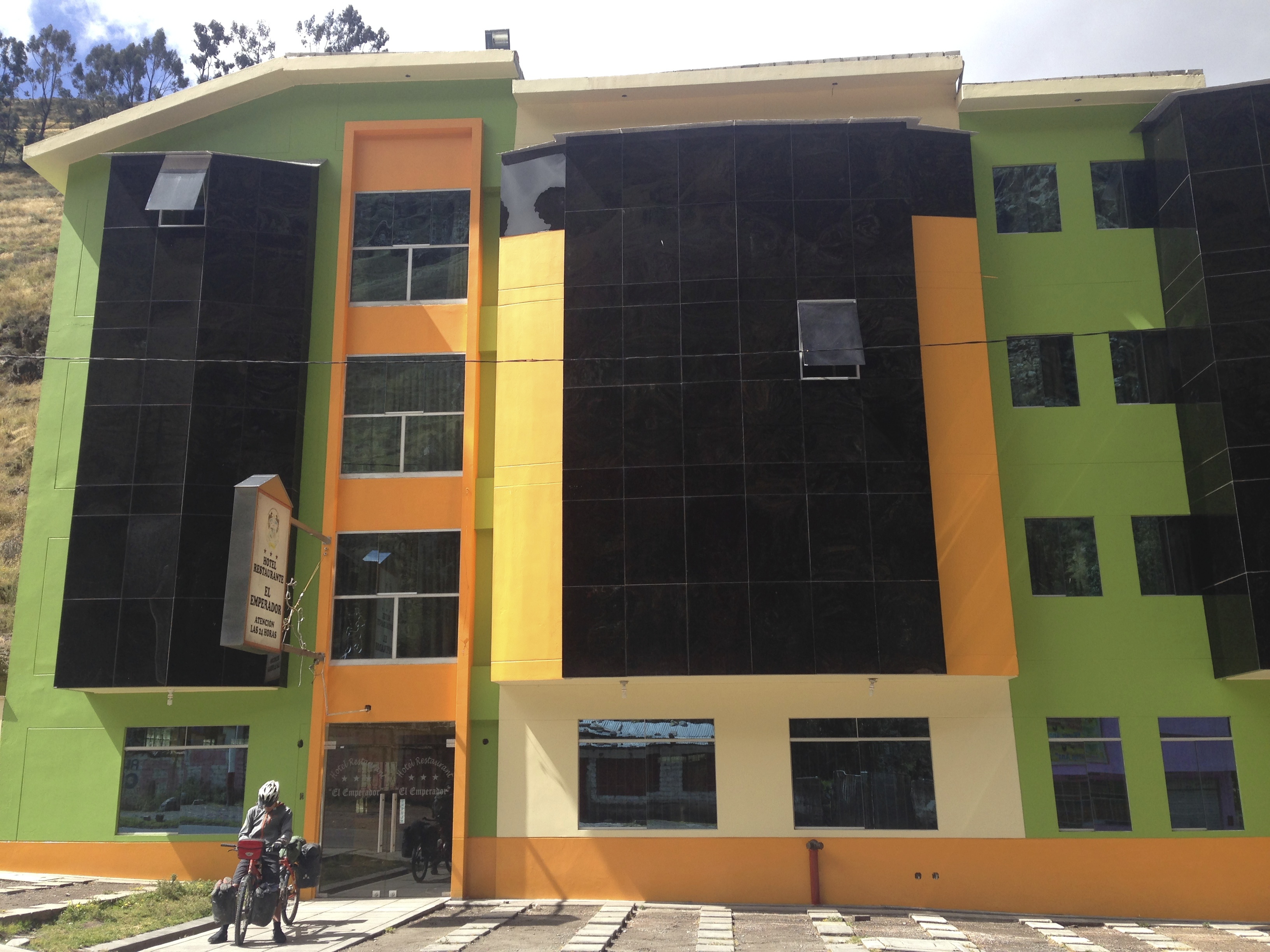
Our route takes you on a short stretch of paved highway. It is busy, but not too bad because it is in the downhill direction (meaning you are going almost as fast as the cars and don’t have to spend much time there). Chicla is a good resupply point, though there are a couple places to get food along the highway. There is also a decent hotel located here: 11.70561° S 76.26794° W
Wild camping the day after we left Chicla – headed towards Punta Ushuayca.
I was hoping that we would get some good views of the Cordillera Pariacaca as we headed from Yuracmayo (no services) to Tanta. We did, but sometimes the views of the Nevados were obscured by mountains in the foreground. This picture is from approximately 11.93139° S 76.09693° W
Looking over Laguna Suyoc towards Qullqip’ukru (the peak on the right which is somewhat obscured by clouds)
Looking on the Cordillera Pariacaca
Ha! Don’t take our shortcut that starts here: 12.07480° S 76.00898° W
We stayed here in Tanta: 12.12229° S 76.01391° W Something funny about this room is that the ceilings were about 5′ high. There were actually quite a few options for accommodation. This one appeared to be the most comfortable of several.
Rio Cañete
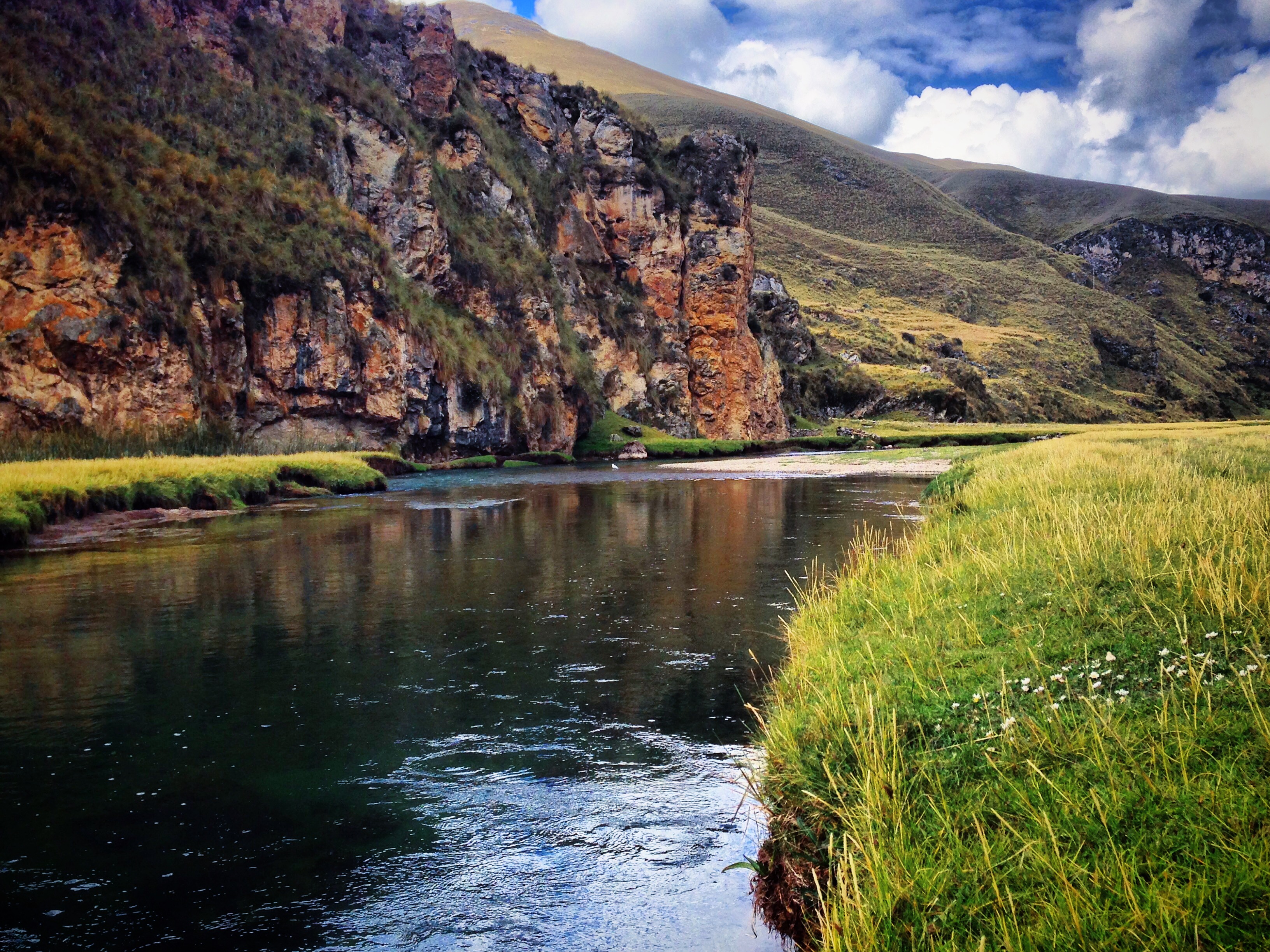
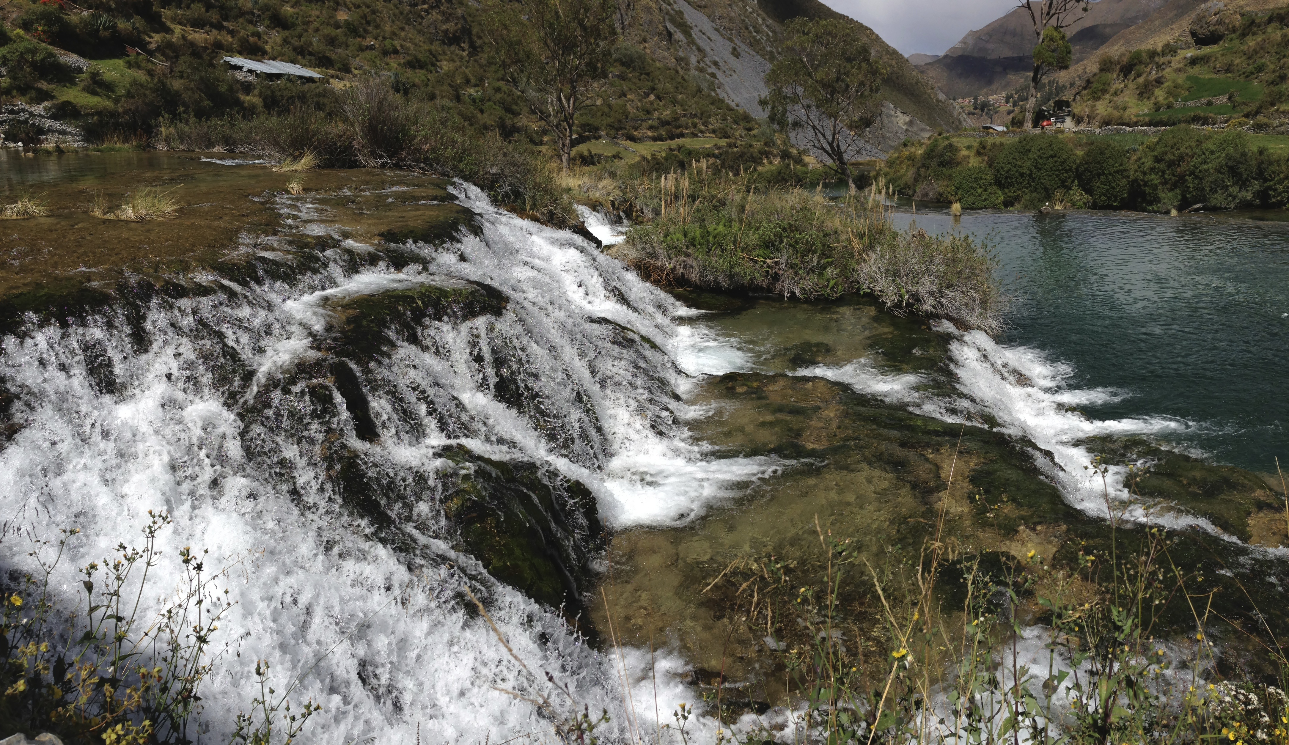
The Rio Cañete – what we had been waiting for!
I could not believe how clear the water was. The scenery kept improving as we descended the canyon formed by Rio Cañete.
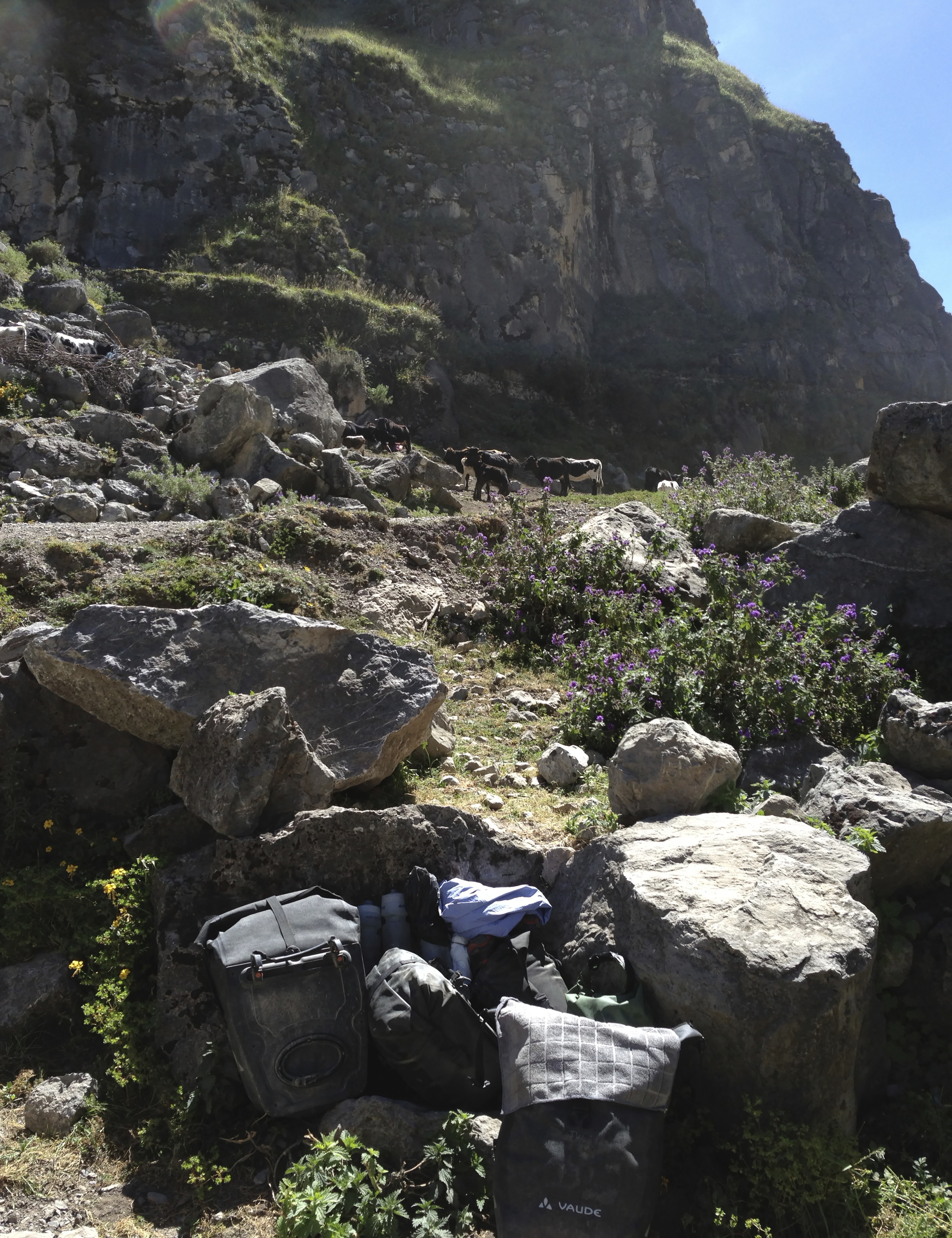
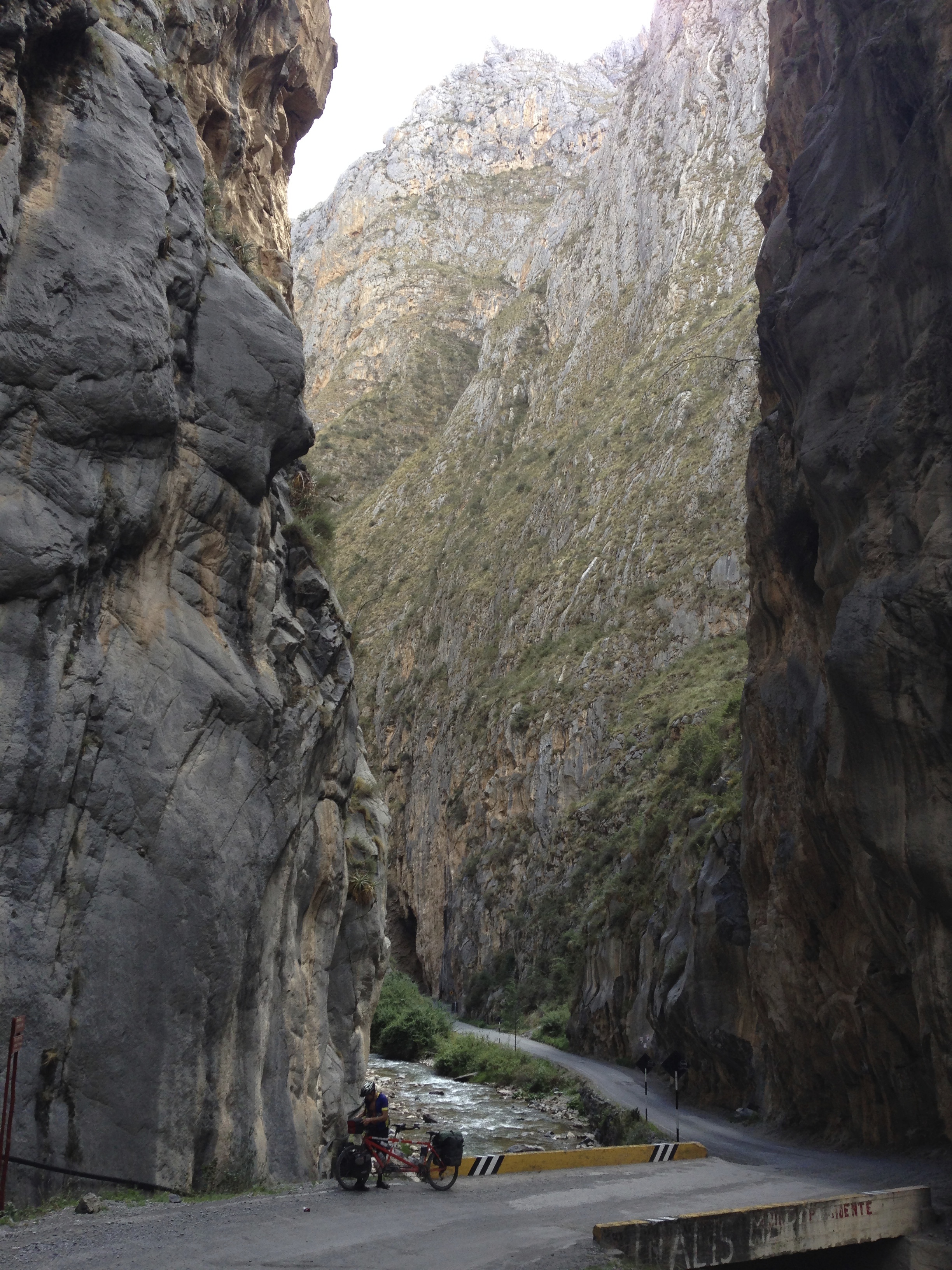
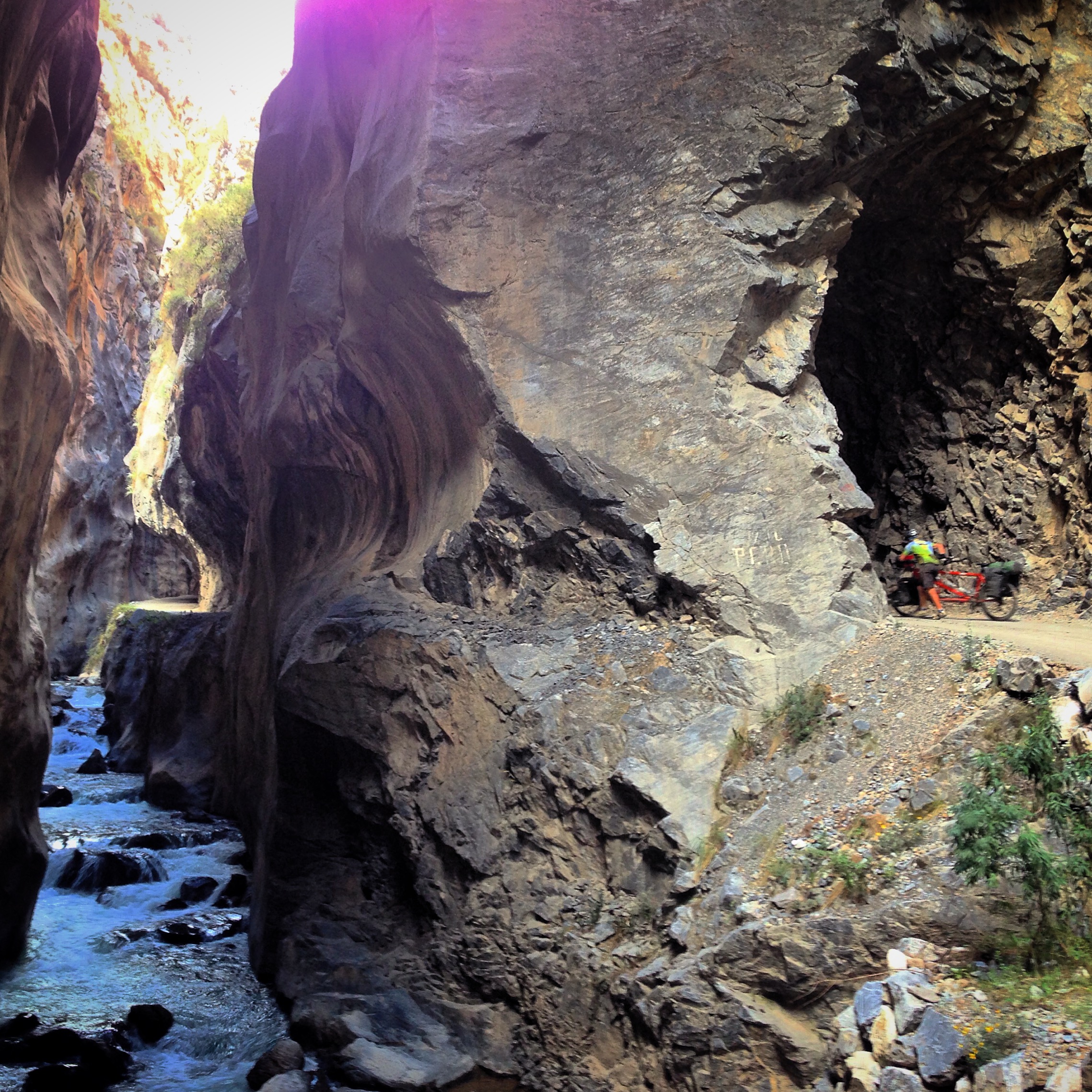
We read many reports in the Pikes’ page saying that the single track section of the Rio Cañete is unrideable. Actually, we found that we could ride over 90% of it – even on a tandem! There were just a few short (but slow) sections of pushing like this one, and another short steep ascent where we had to shuttle the bike / panniers.
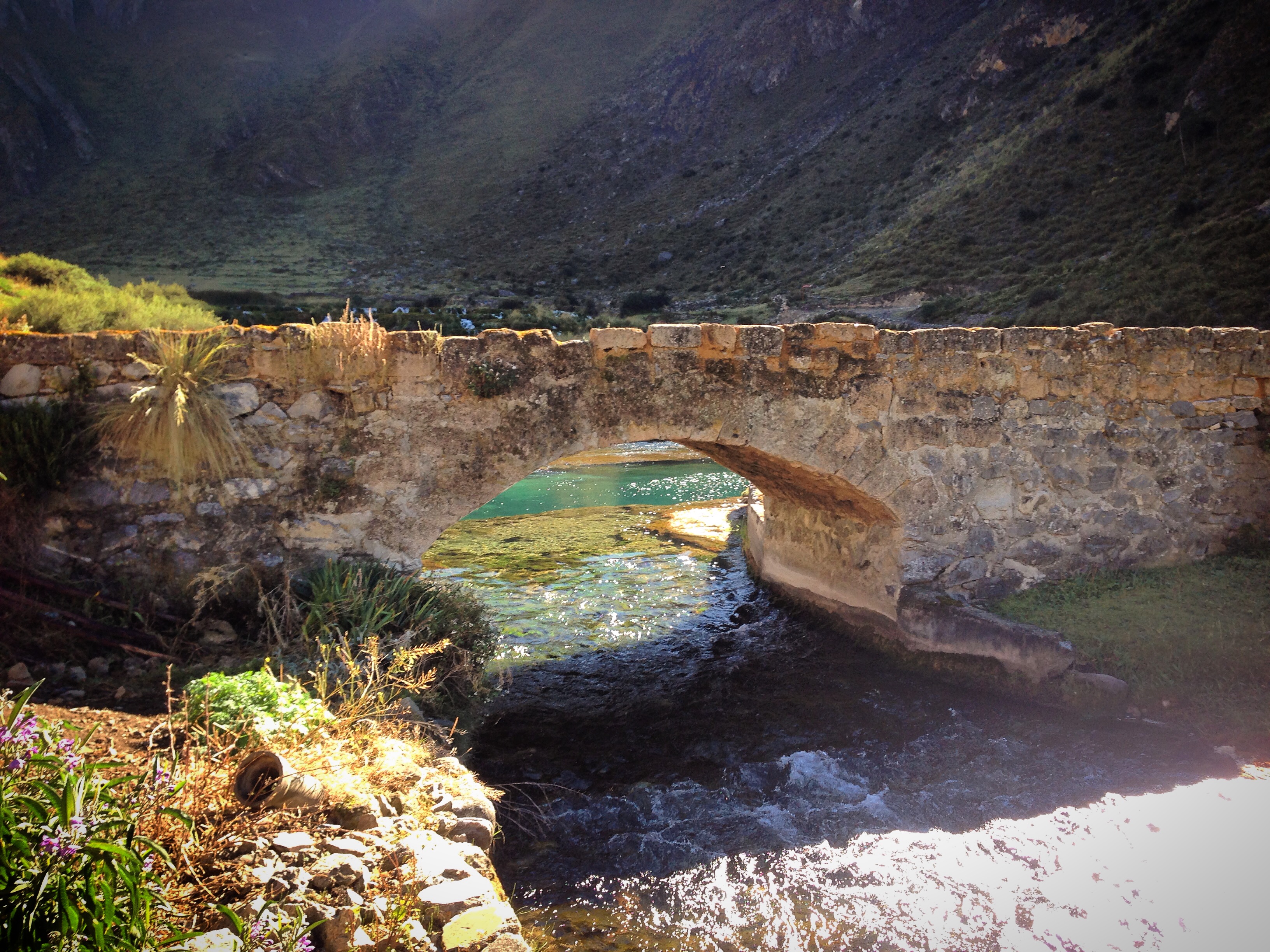
A beautiful bridge (Puente Centenario) as seen from our room at Campestre Zarate in Vilca 12.11427° S 75.82611° W There seemed to be a few options for accommodation in this tiny town. In fact, this area is touted as being touristic – but it is always difficult to find anyone attending any of the services.
It was storming when we arrived at Vilca, so we were glad that we stopped to overnight there before heading to Huancaya (not to be confused with Huancayo). The most scenic portion of the Rio Cañete is along this section – and it looks a lot better on a sunny day!
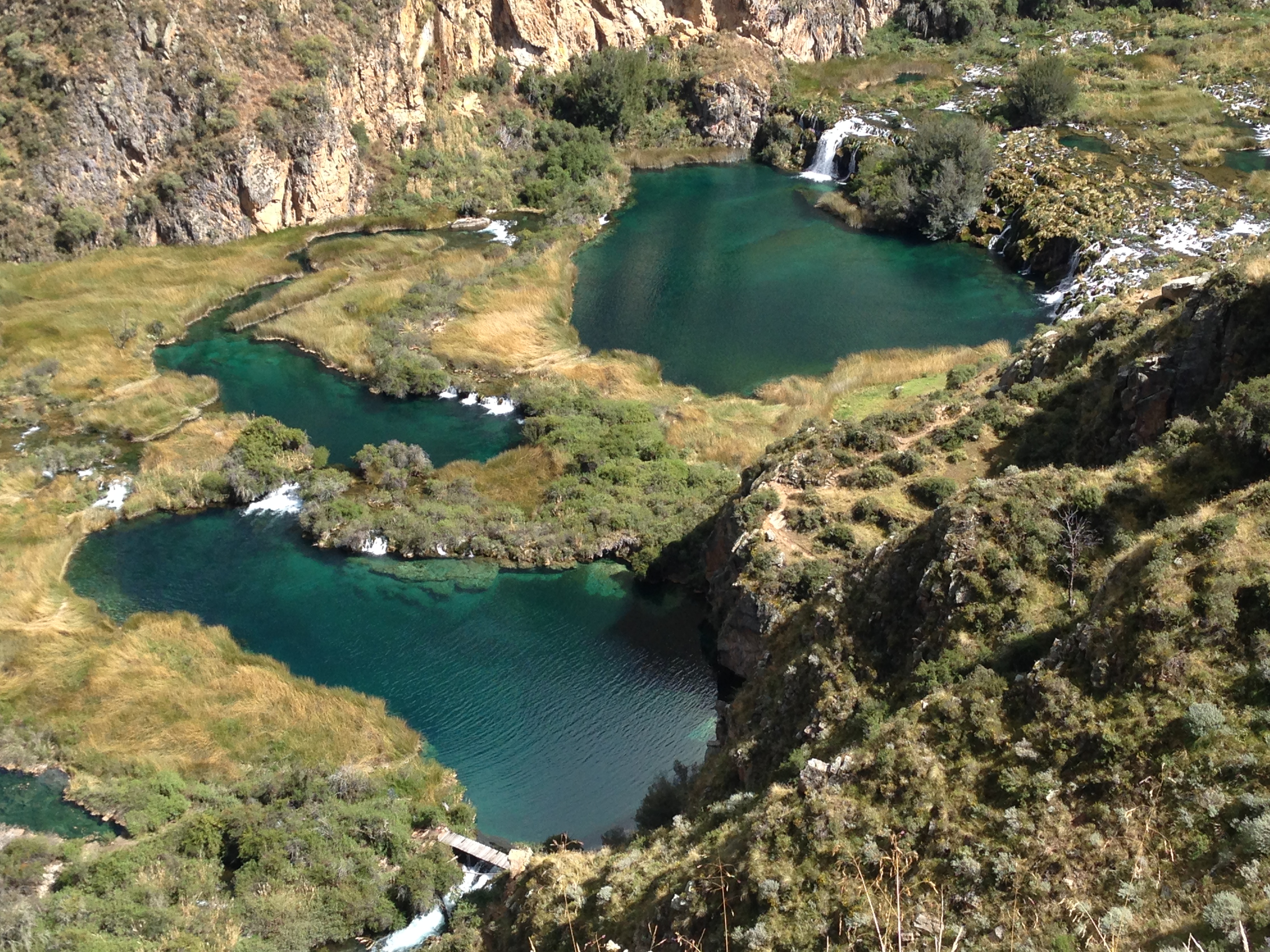
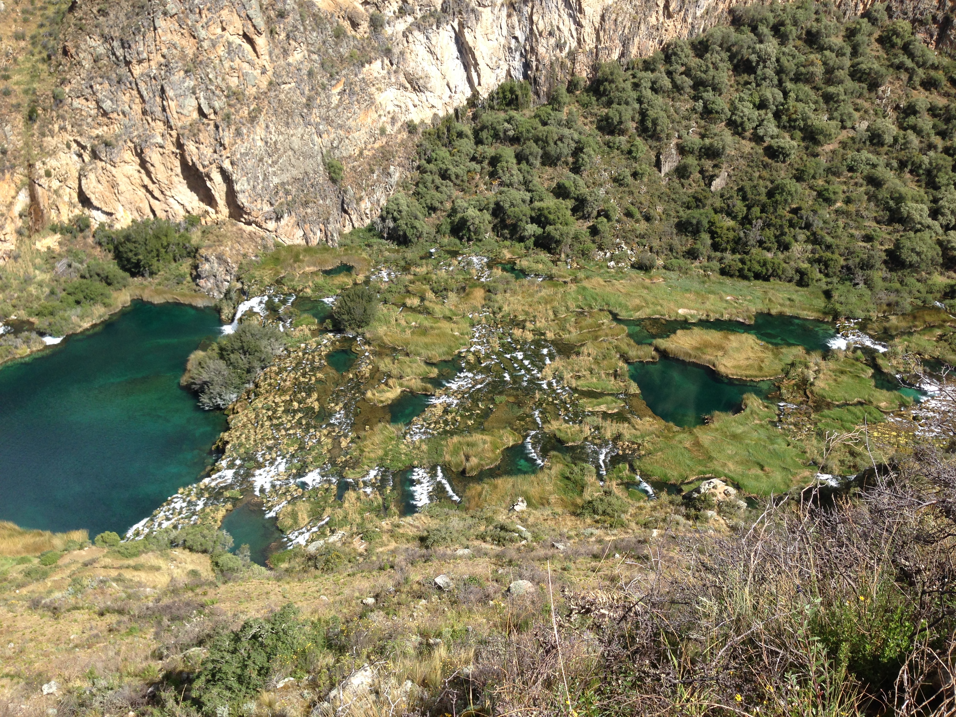
The Rio Cañete reminded us a lot of Plitvice in Croatia.
The Rio Cañete in Huancaya
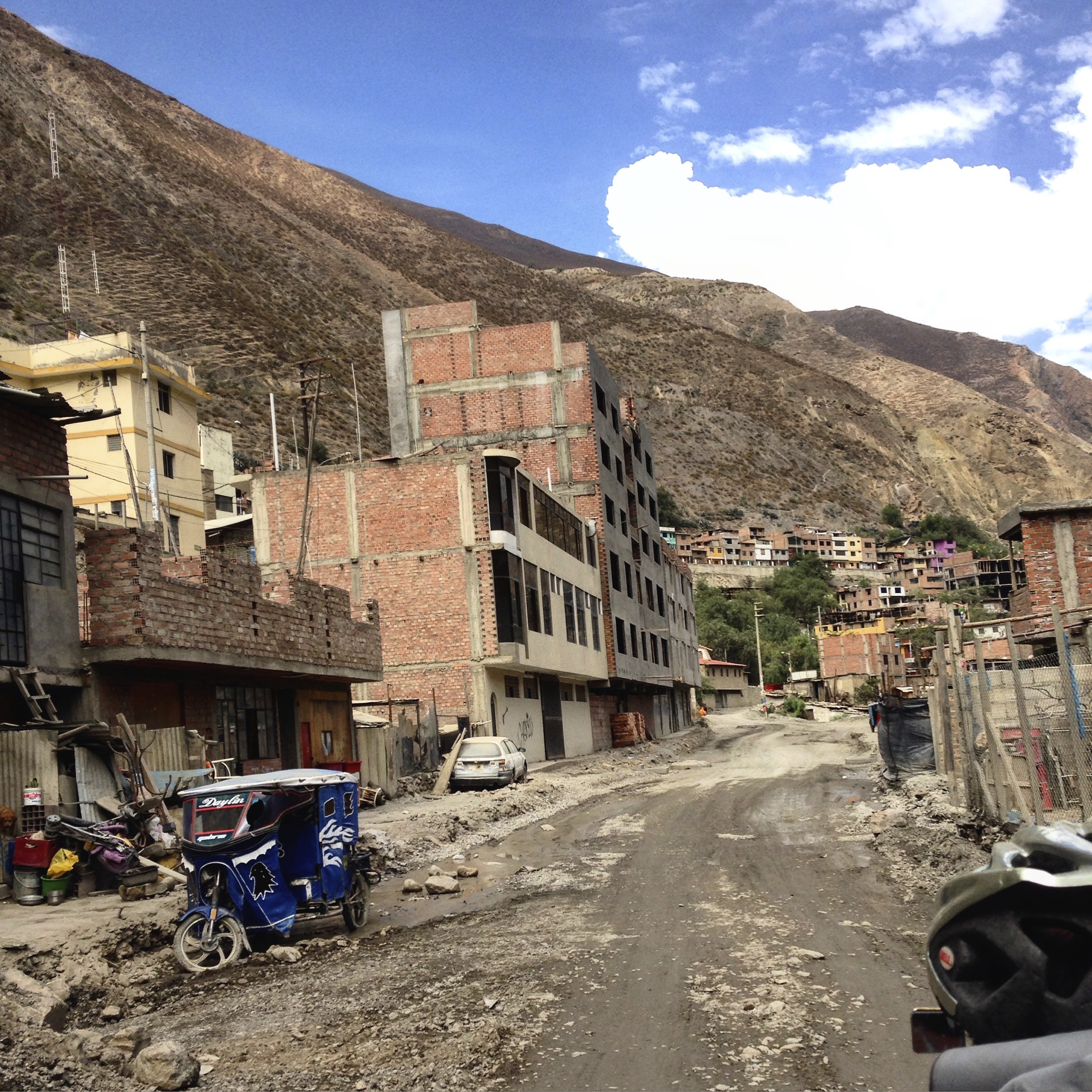
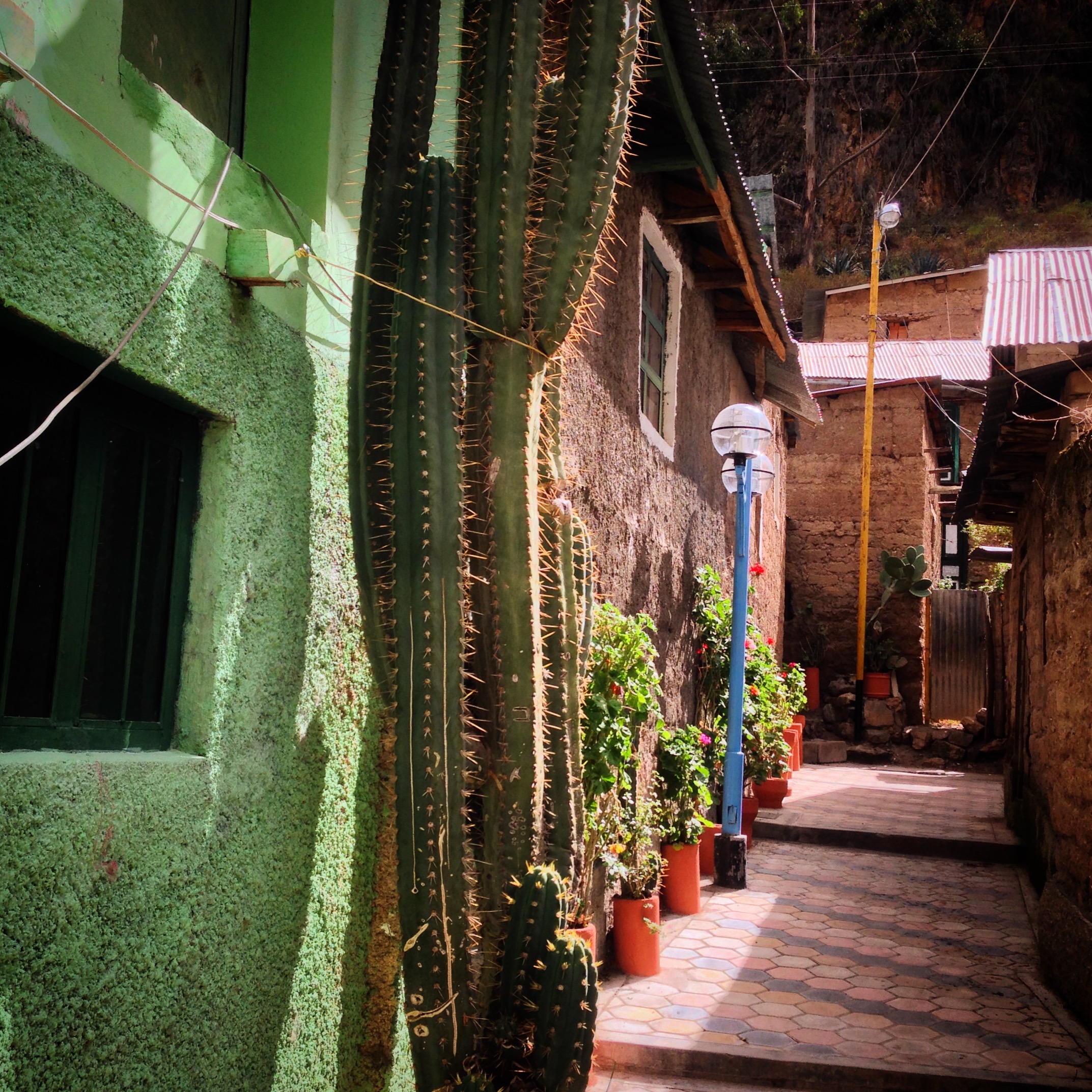
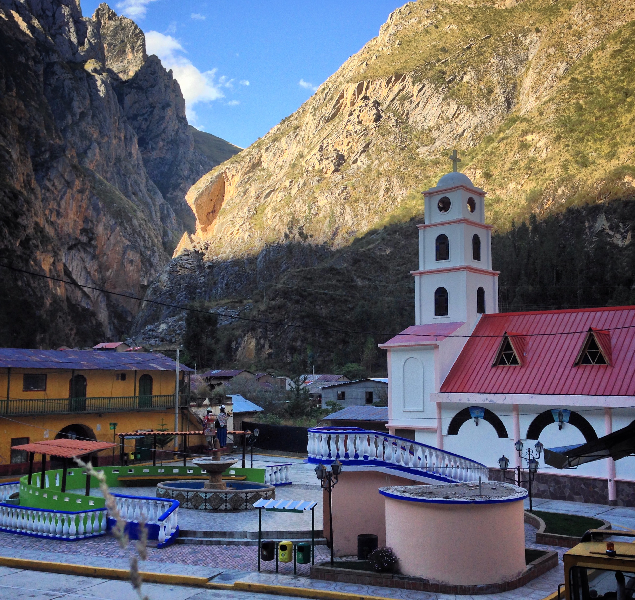
The town center in Vitis. We met a man in the square who was a teacher – he told us that all the young people leave as soon as they can because the town is too small. That might explain why all these beautiful locations always seem deserted.
The cute town of Alis. 12.27972° S 75.78652° W This is a touristic region – but we didn’t see any tourists even during a nice day during the dry season. We were warmly received in town – they were so happy to see us cycling through and wanted to know how we chose to come through this region.
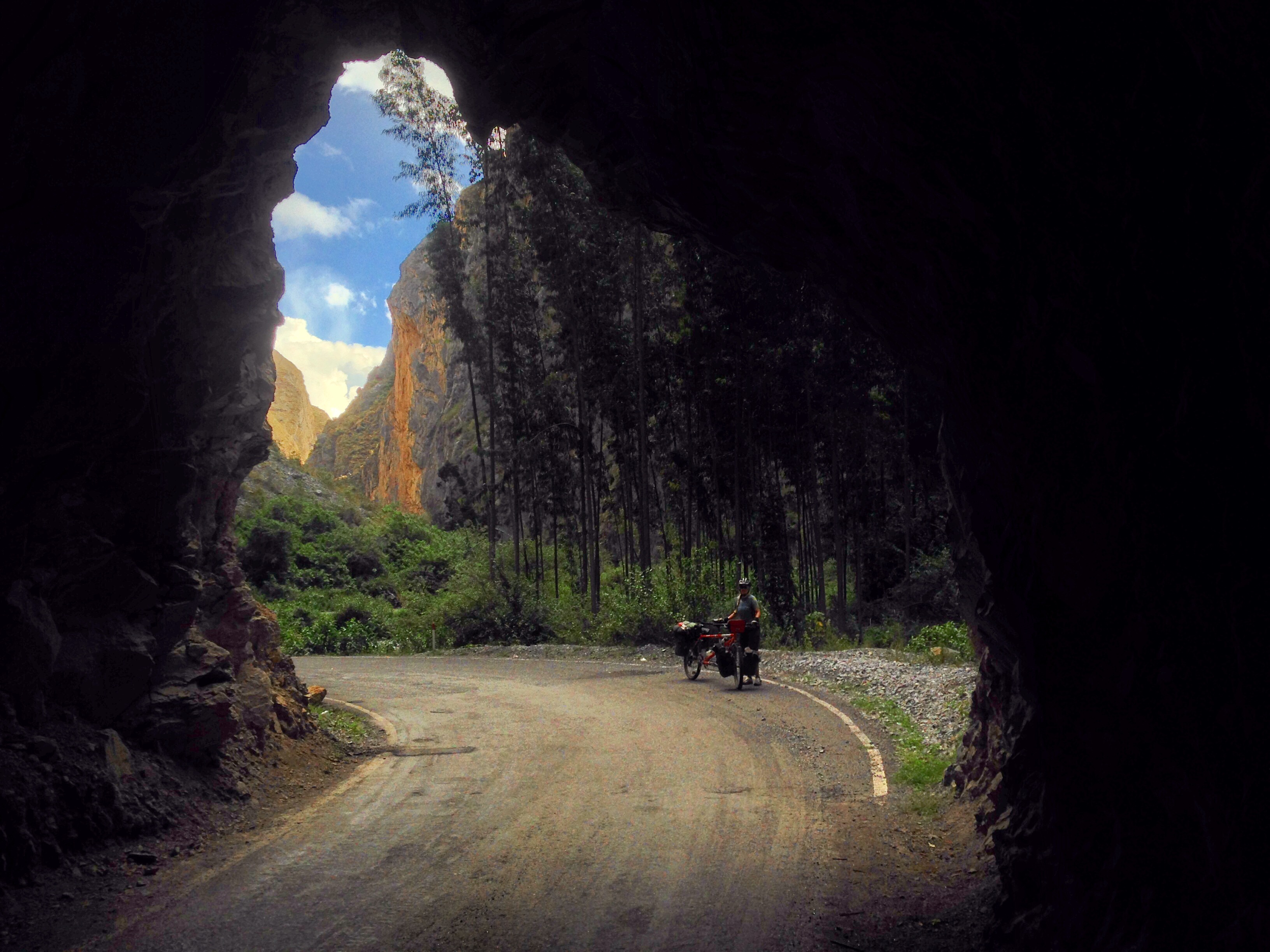
The section of road along PE 24 from Tinco to Tomas is a must-see in our opinion. The canyons are deep, and the road is paved with little traffic. The Pikes' route takes you on a different (dirt) route to continue South from here.
This is the Cañon de Uchco. A gorgeous stretch of paved road with few cars between Tinco Alis and Tomas
Cañon de Uchco
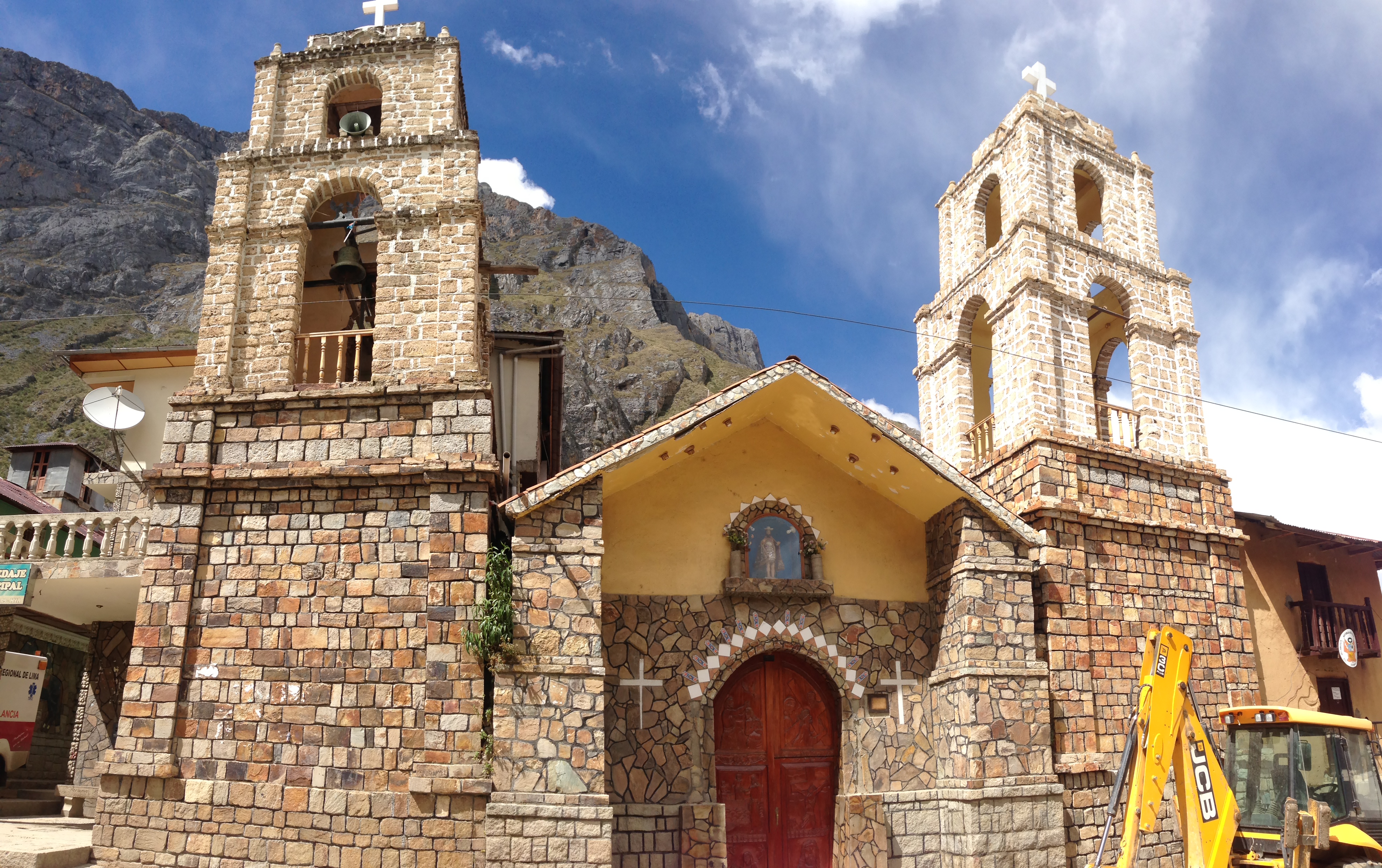
The town of Tomas. Like Alis, there are plenty of places to get food and hospedaje.
This is the map for the entire route discussed in this post. To Export GPX files, click on the three horizontal bars in the upper right hand corner of the map and select Export selected map data…
To see this map in a full screen, click here (opens in new window)