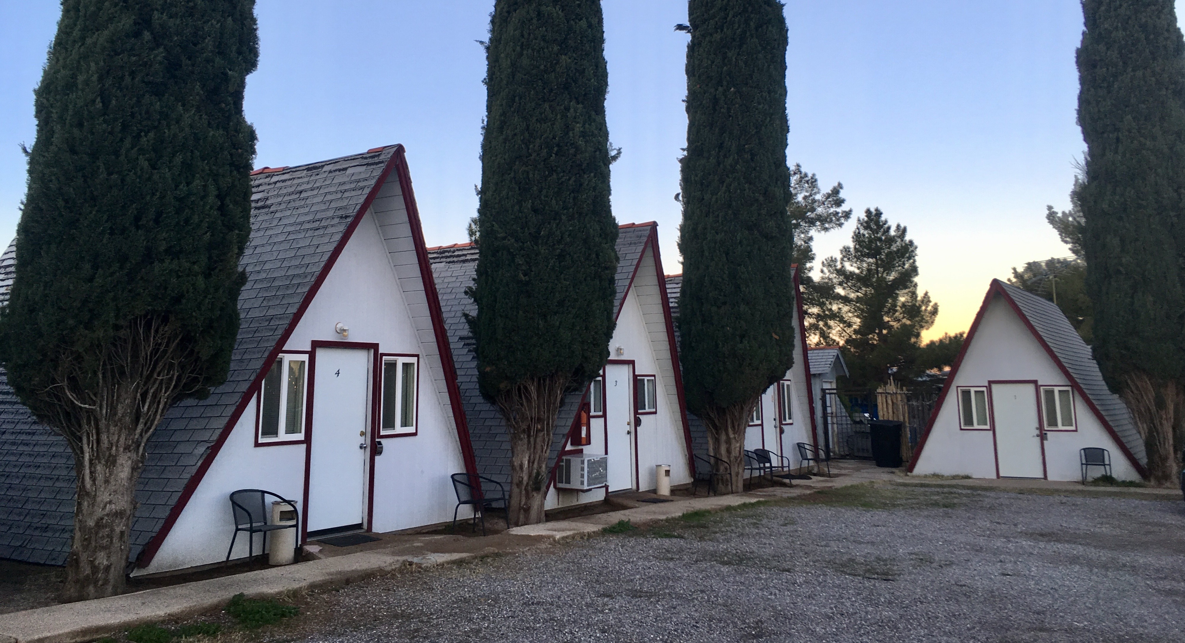
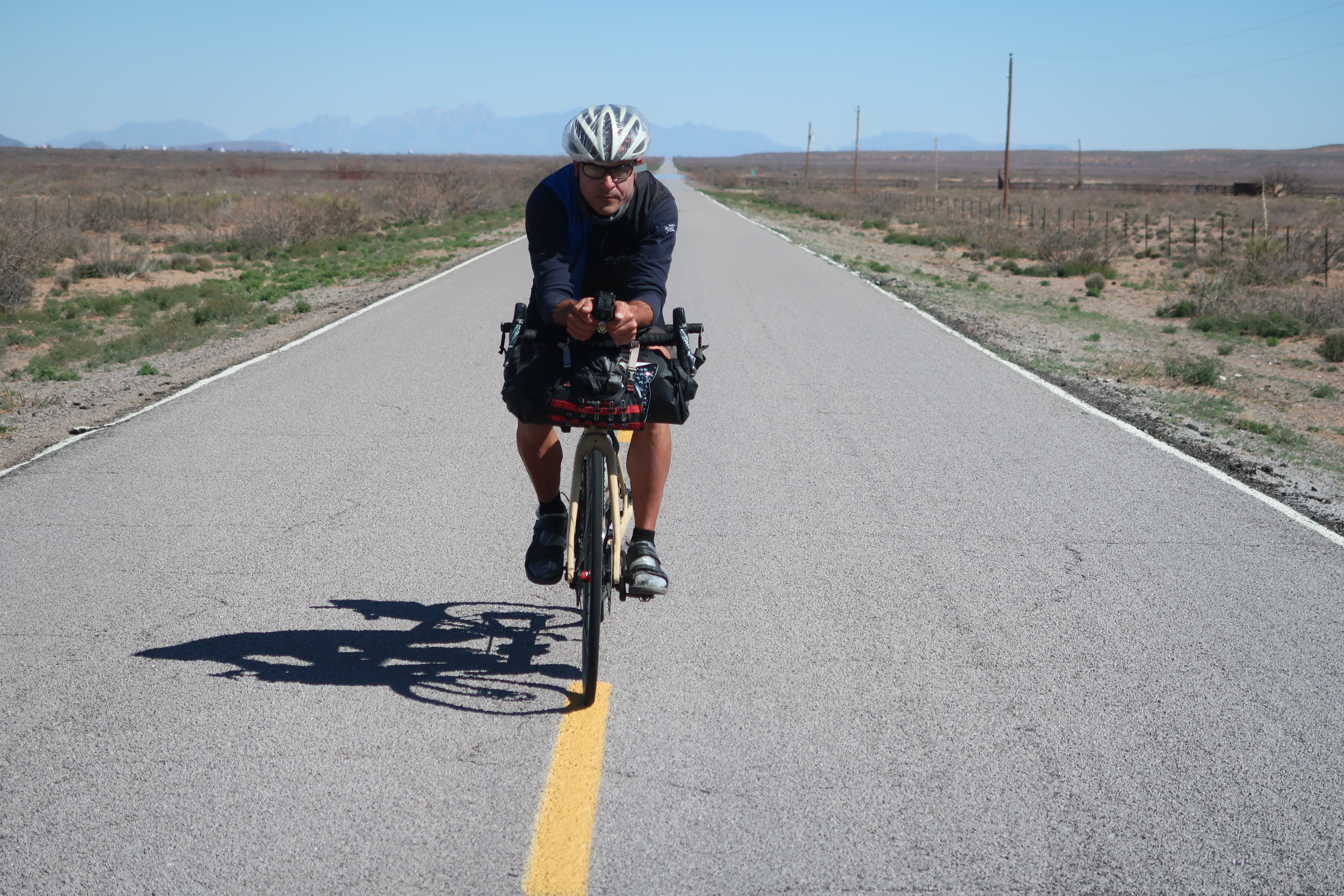
Crossing the USA by bike (aborted)
On February 1, 2020, Janet and I set out to ride our Kalapuya Tandem Bike across the United States. I had spent a couple of months designing the route and we had the bike built especially with this trip in mind. The route was to be a lot of mixed terrain: gravel and paved roads. The trip started with frigid temperatures – day and night. Suddenly, when we got to Presidio, Texas, temperatures became warm and humid. We tried to optimize the route for sight-seeing and to visit national parks. Whenever possible, we traveled backroads or even dirt roads – anything to stay as far away from cars as possible. Not all of the roads were great for cycling, as you will read below, but the majority of the route was excellent. Unfortunately, the coronavirus pandemic ended our trip prematurely – we were half way across – in Austin Texas – when we decided to go home to “shelter in place.”
This is the map for the entire route discussed in this post. To Export GPX files, click on the three horizontal bars in the upper right hand corner of the map and select Export selected map data... To see full screen, click here (opens in new window)
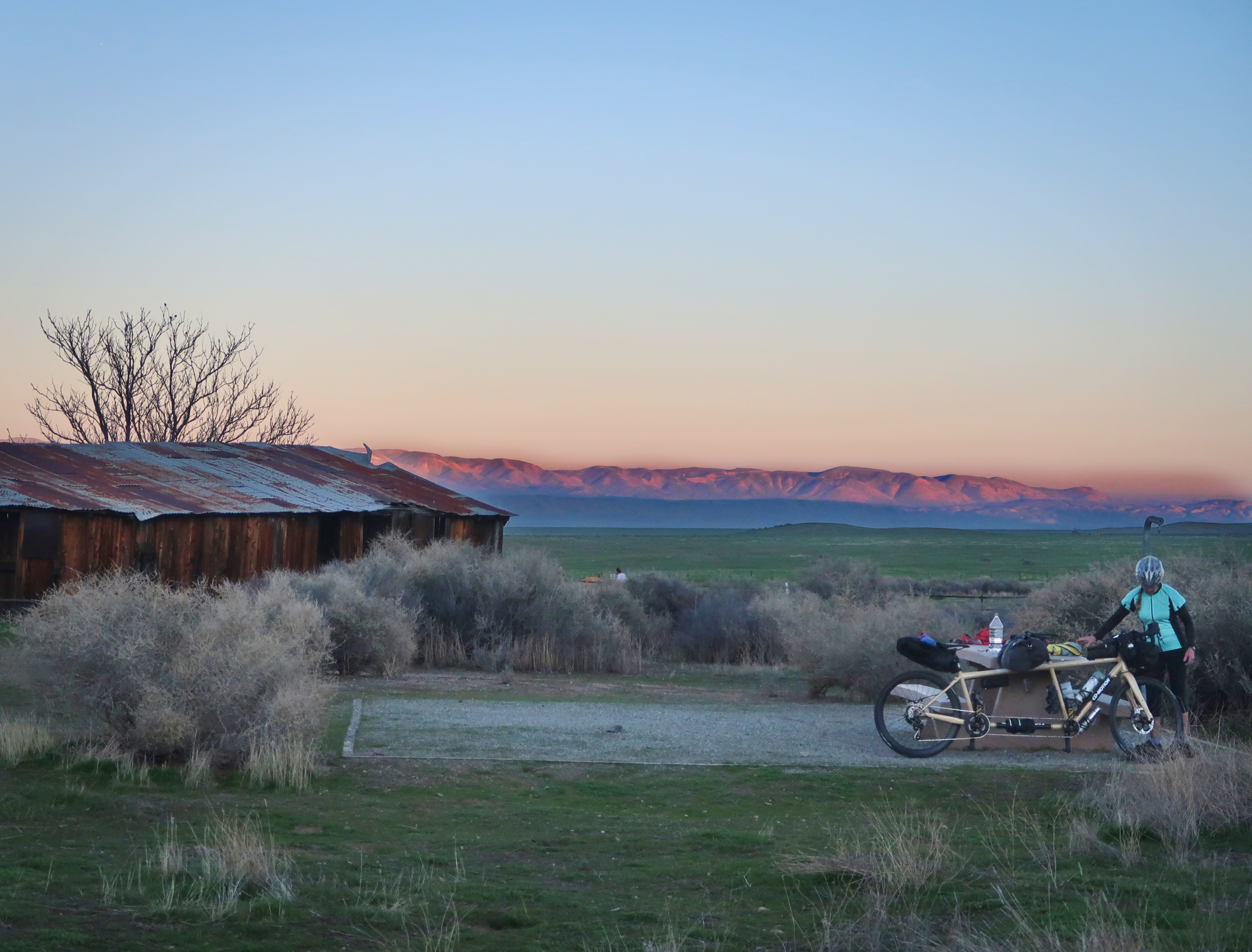
The first day in Carrizo Plain. This is one of our favorite campsites – but on our arrival, it was nearly full! Luckily, they have opened up a new section that had been previously only dedicated to picnicking. It was a perfect, quiet spot to spend the first night.
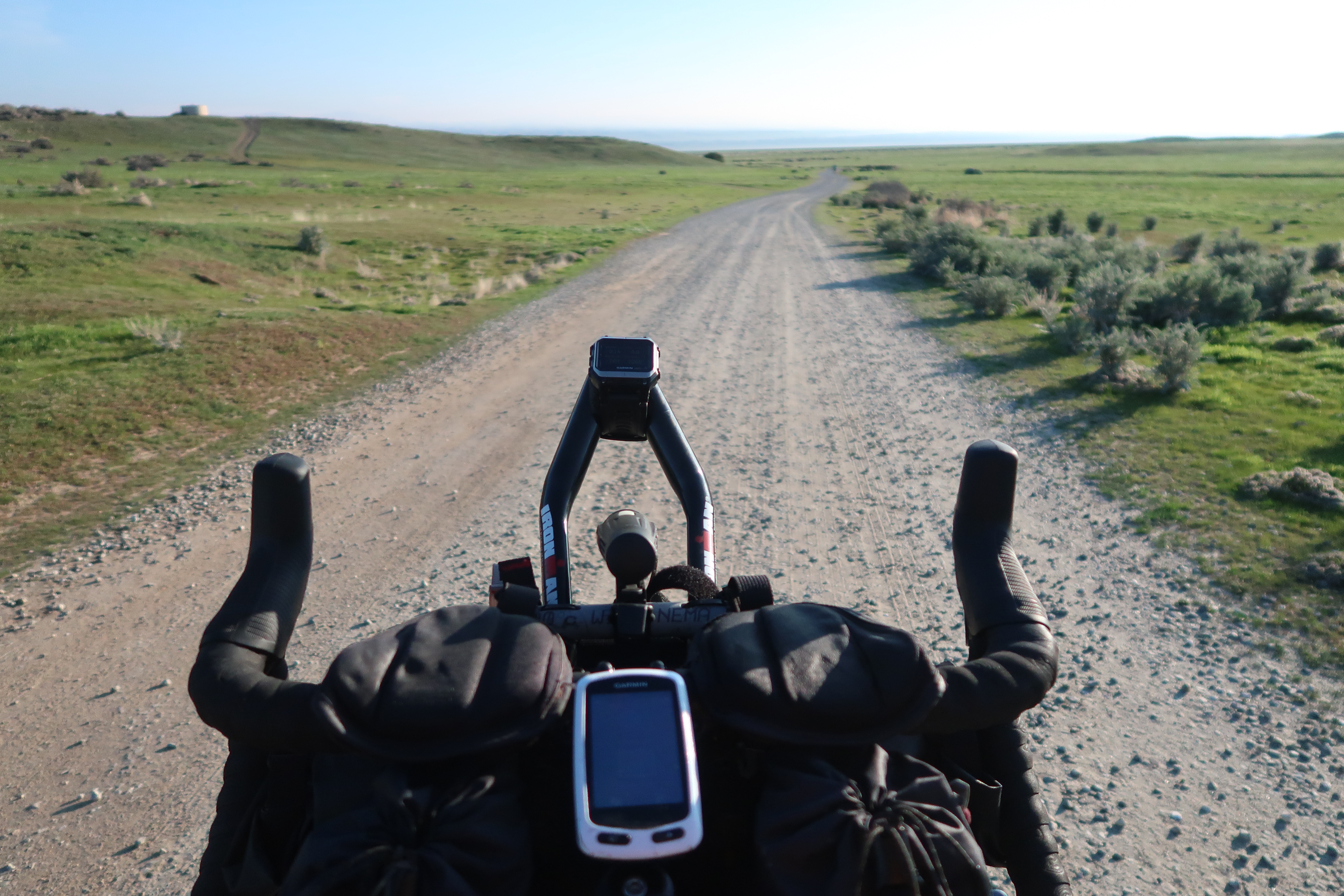
We started the trip with 25c road tires – carrying a set of 38c gravel tires. But it didn’t make sense to swap the tires for this relatively short section of gravel in the Carrizo.
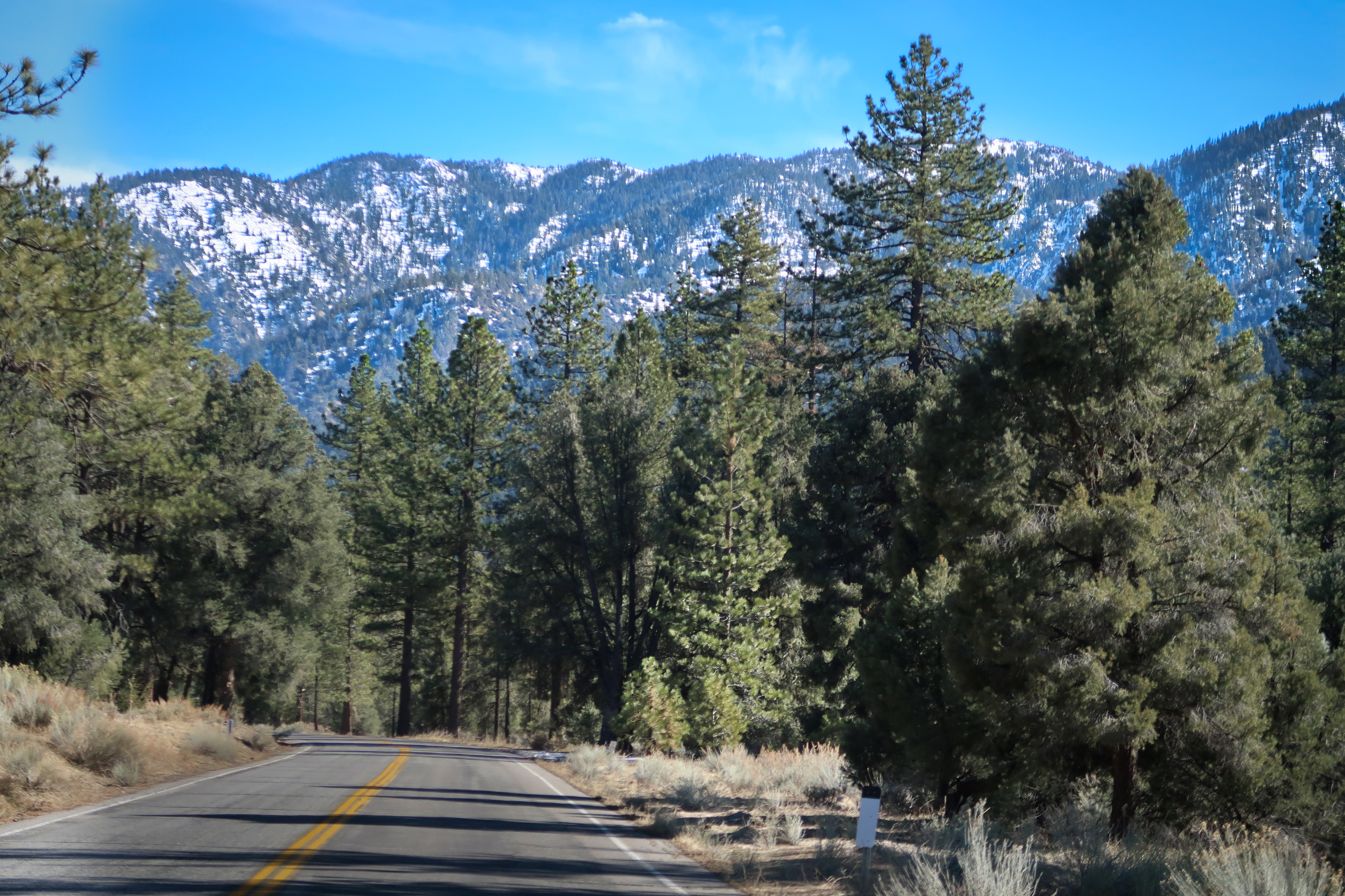
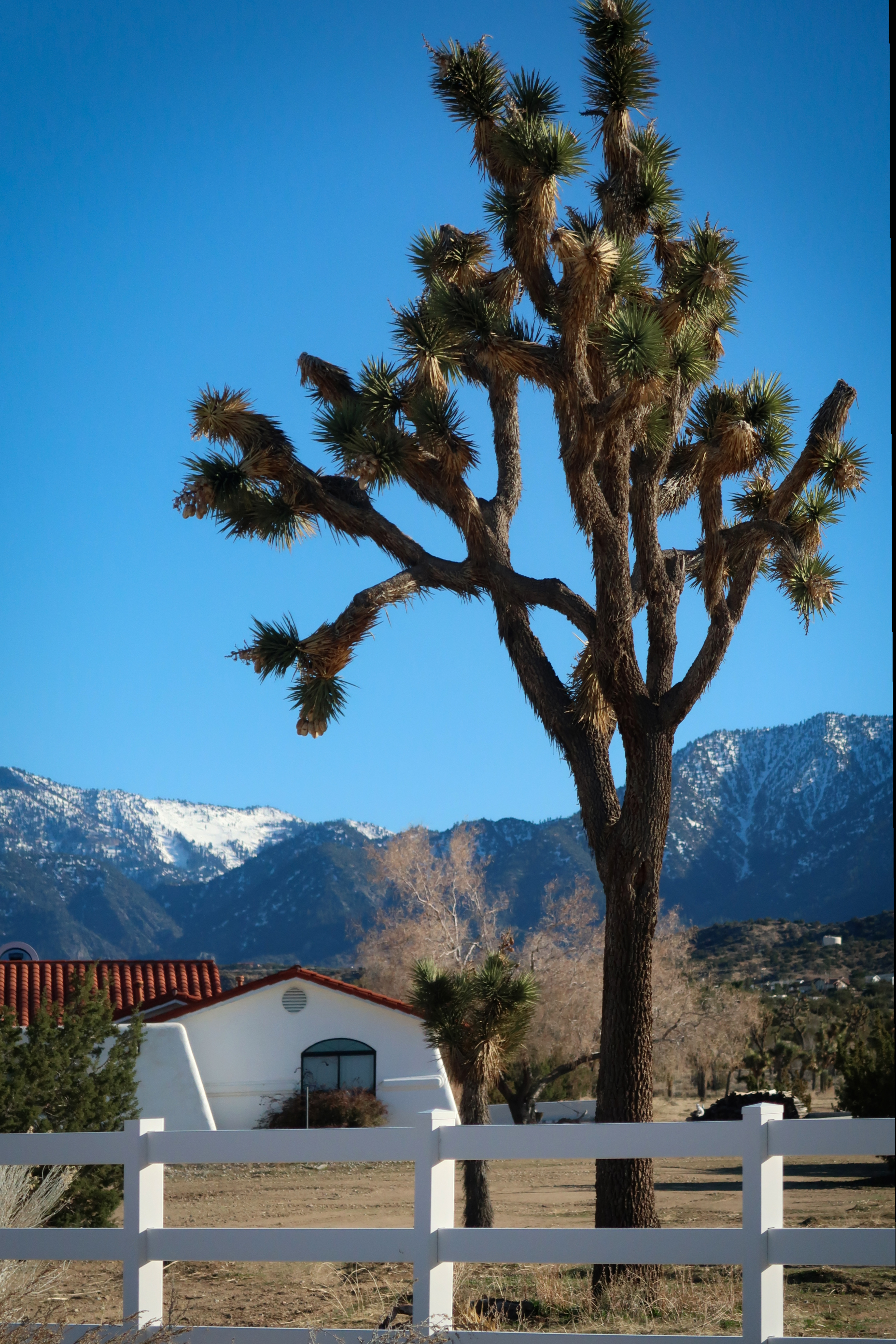
Pine Mountain Club is a small village that is only a day or two away (by bike; just a couple hours by car) from our house. I think it is so cool to be able to ride from the ocean to high mountains in such a short time. Pine Mountain is popular with sledders and families coming up from LA, so tourists are not always welcome. Luckily, there hadn’t been much snow this year, and people were very friendly towards us.
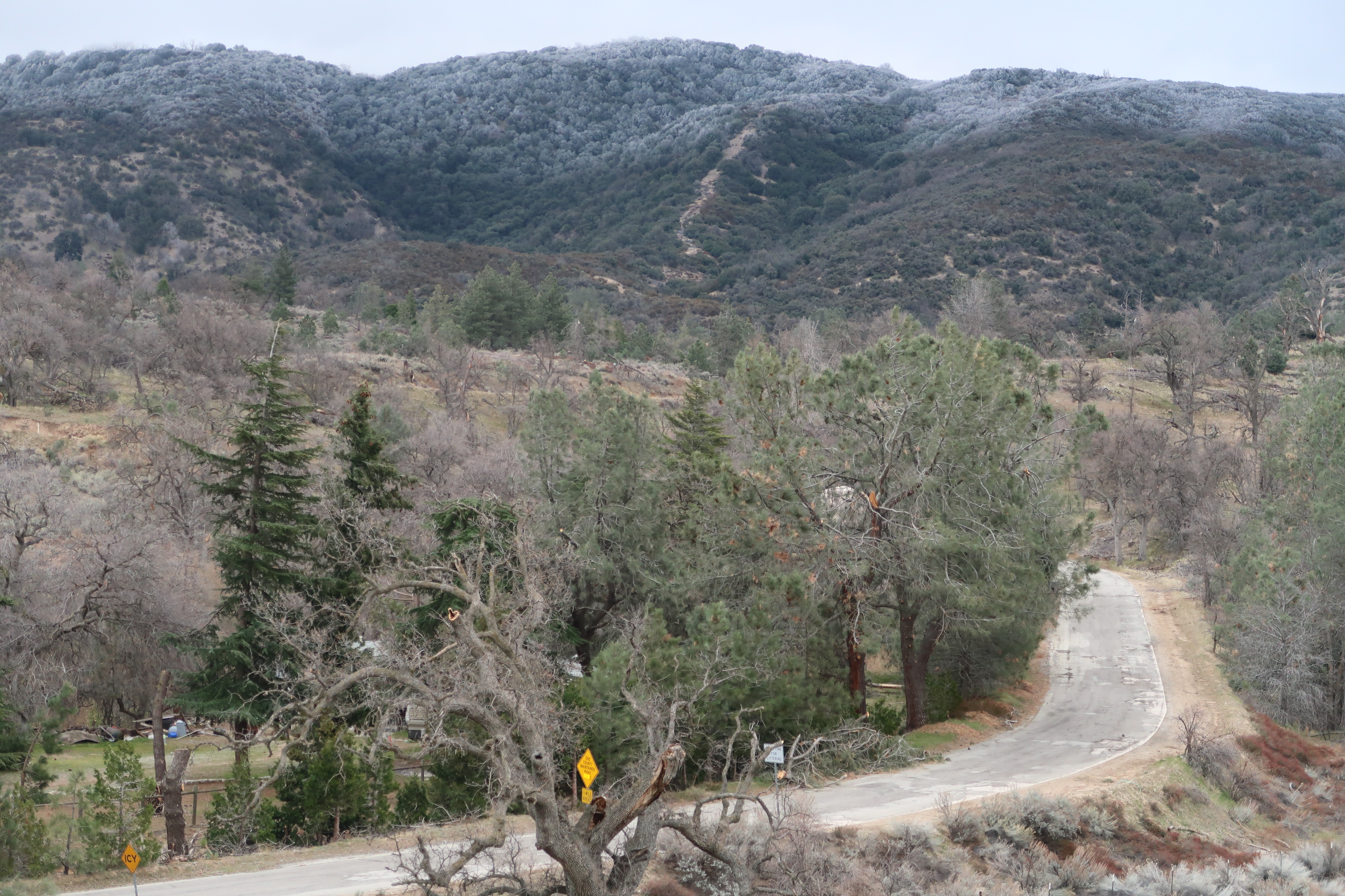
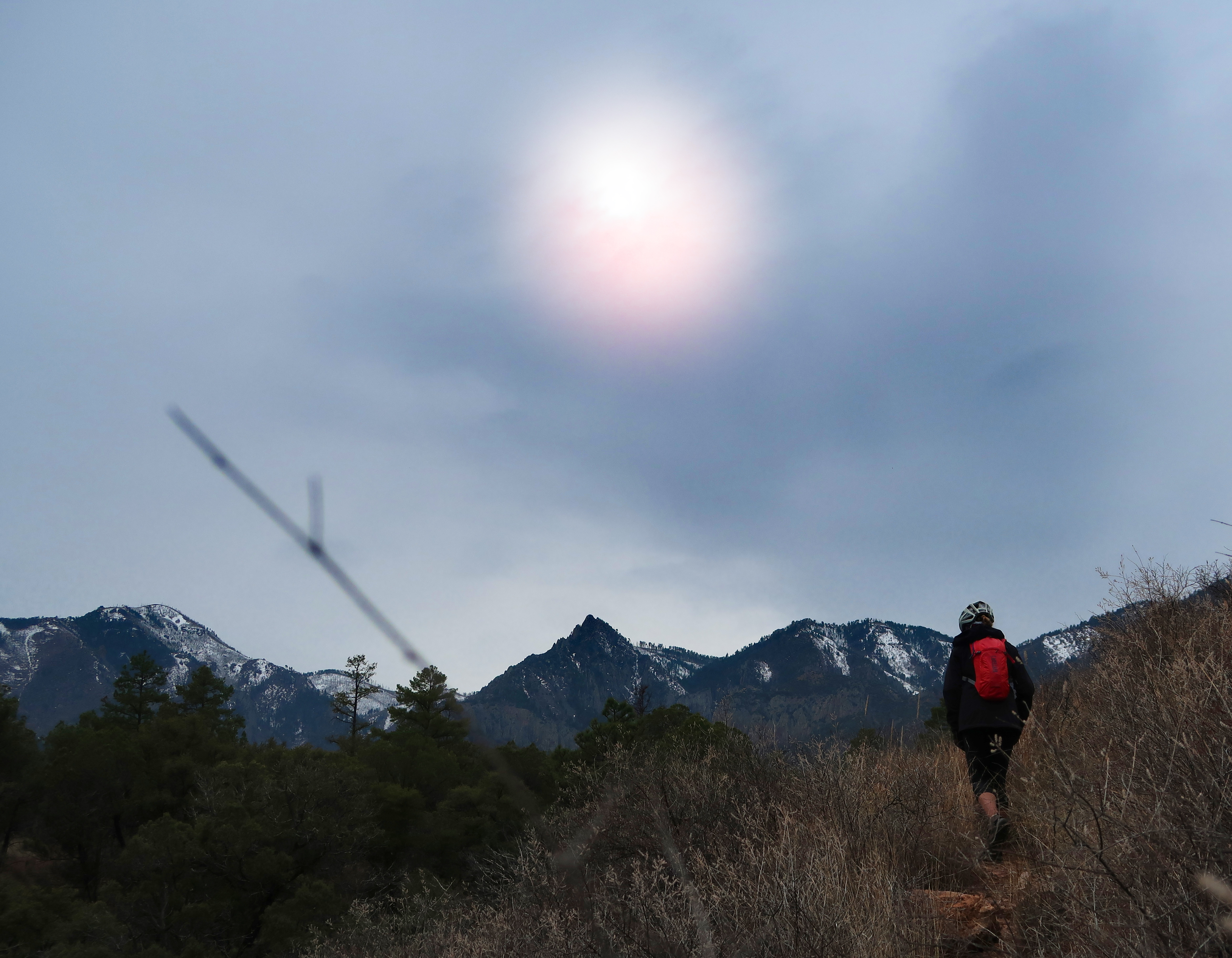
This is the old ridge road that is a ways East of Gorman. Today’s ride was quiet cycling with a lot of up and down, and no cars. Notable was the fact that Janet and I had to wear all of our clothes through the day.
We took some backroads around Palmdale, which are recommended. One of those roads was called “Bob’s gap” road. Later, we would connect to the California Aqueduct – which is perfect for cycling… except bikes aren’t allowed. We decided to ride along the paved aqueduct anyway, rather than risk our lives on HWY 18.
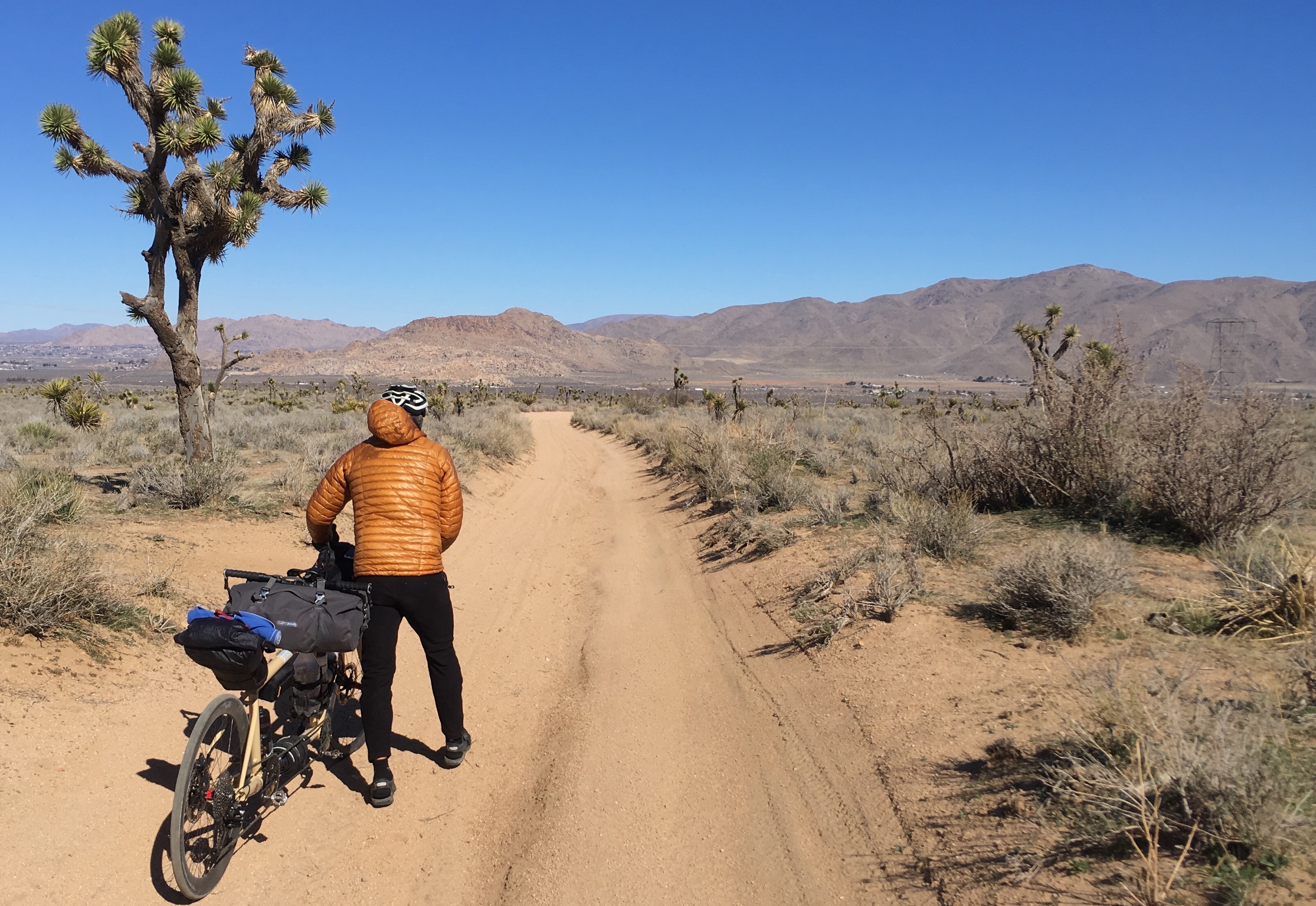
In an attempt to avoid the highway, East of Hesperia, we took a combination of dirt roads. It wasn’t too bad, but we had to walk a little on our 25c tires. If you had a gravel bike or a mountain bike, it would be pretty nice.
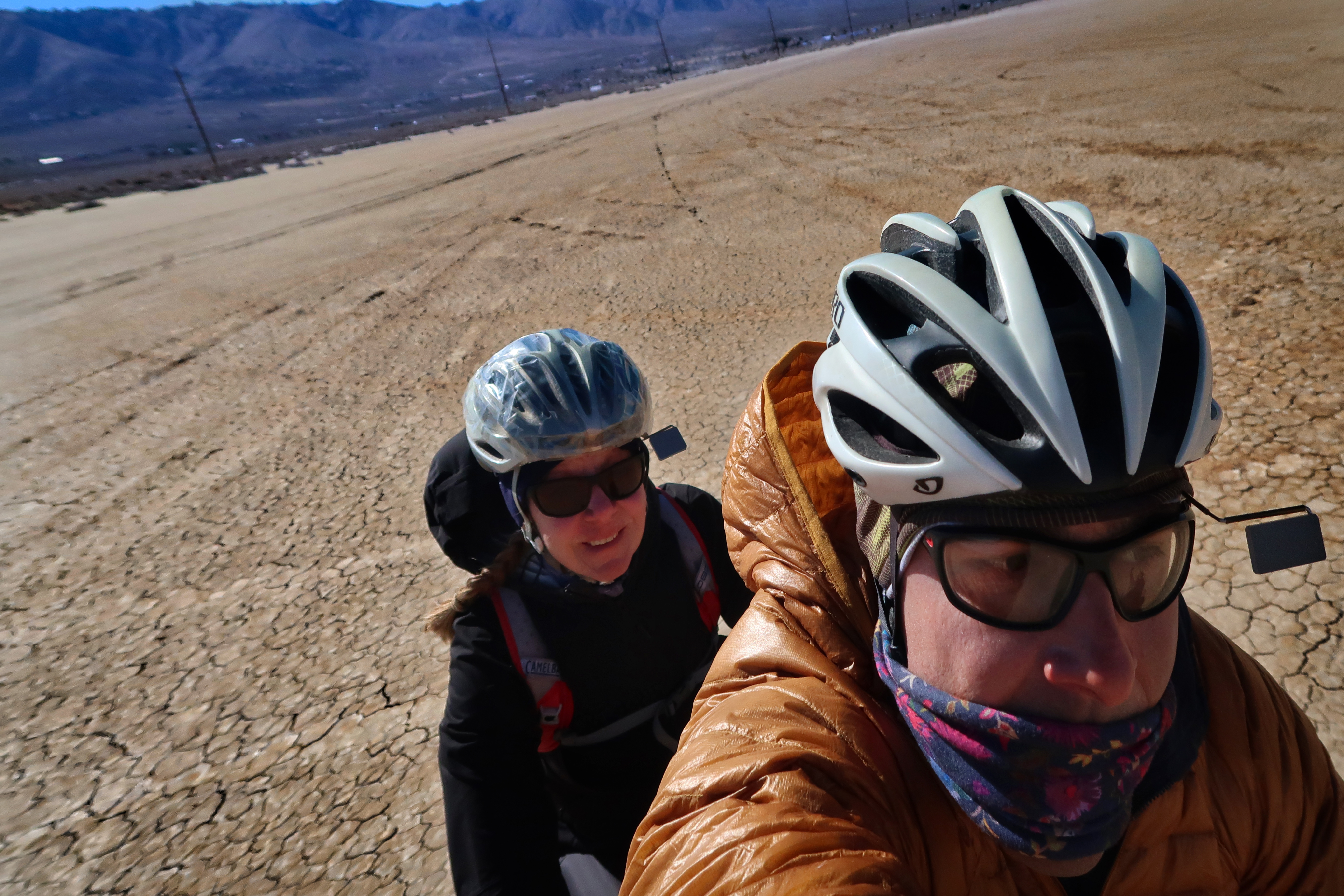
This is called “Rabbit Lake” which you can see on the map we just rode across. If you were trying to duplicate our route, you might need to find an alternative because this section could be wet. We rode to Lucerne valley on quiet roads after this. The section on hwy 247 from Lucerne Valley to where we exited on Linn road was not very enjoyable – often there is no shoulder. Unfortunately, the only alternative is unpaved road up through Bear Valley – which you could only do at certain times of the year.
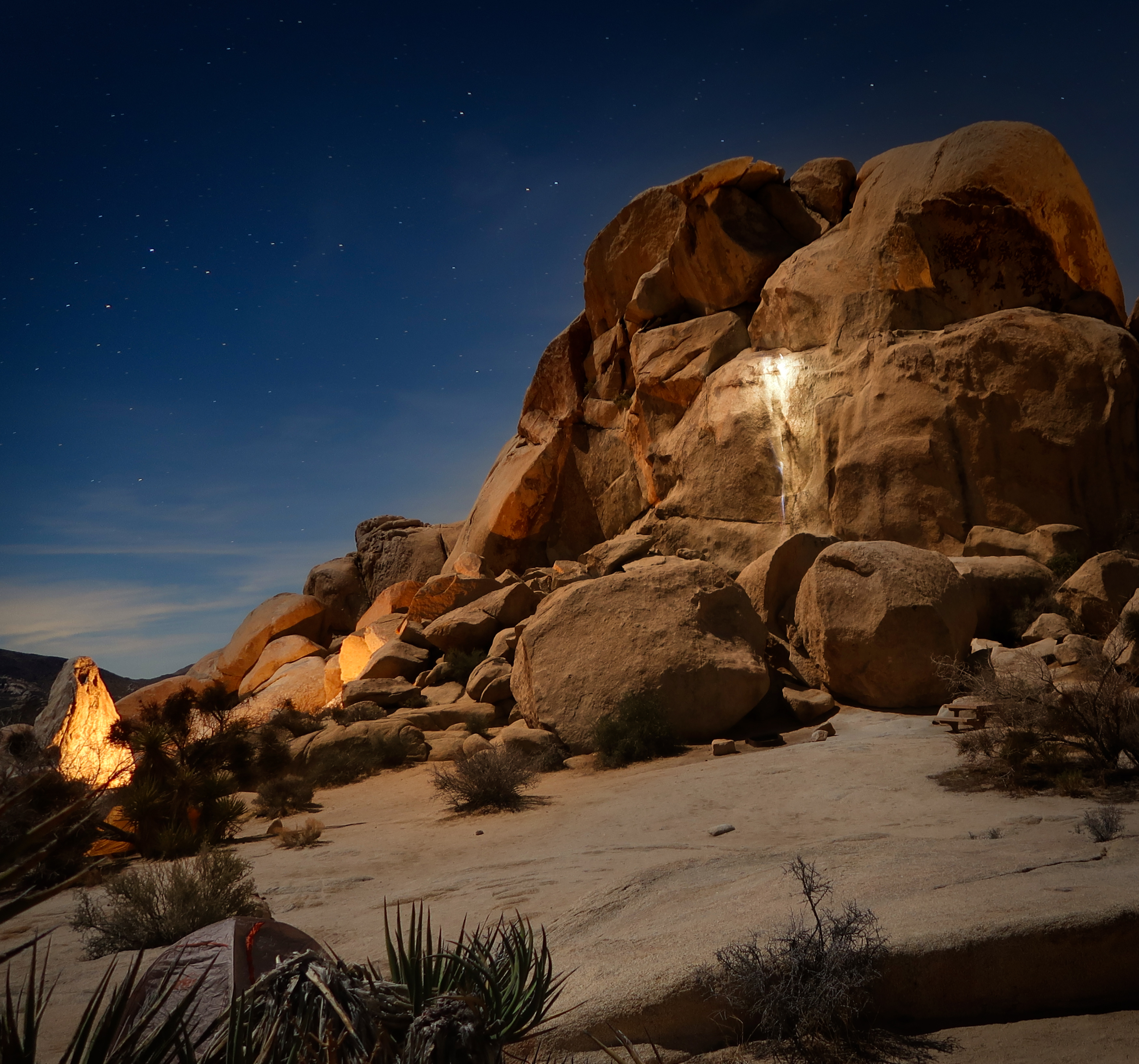
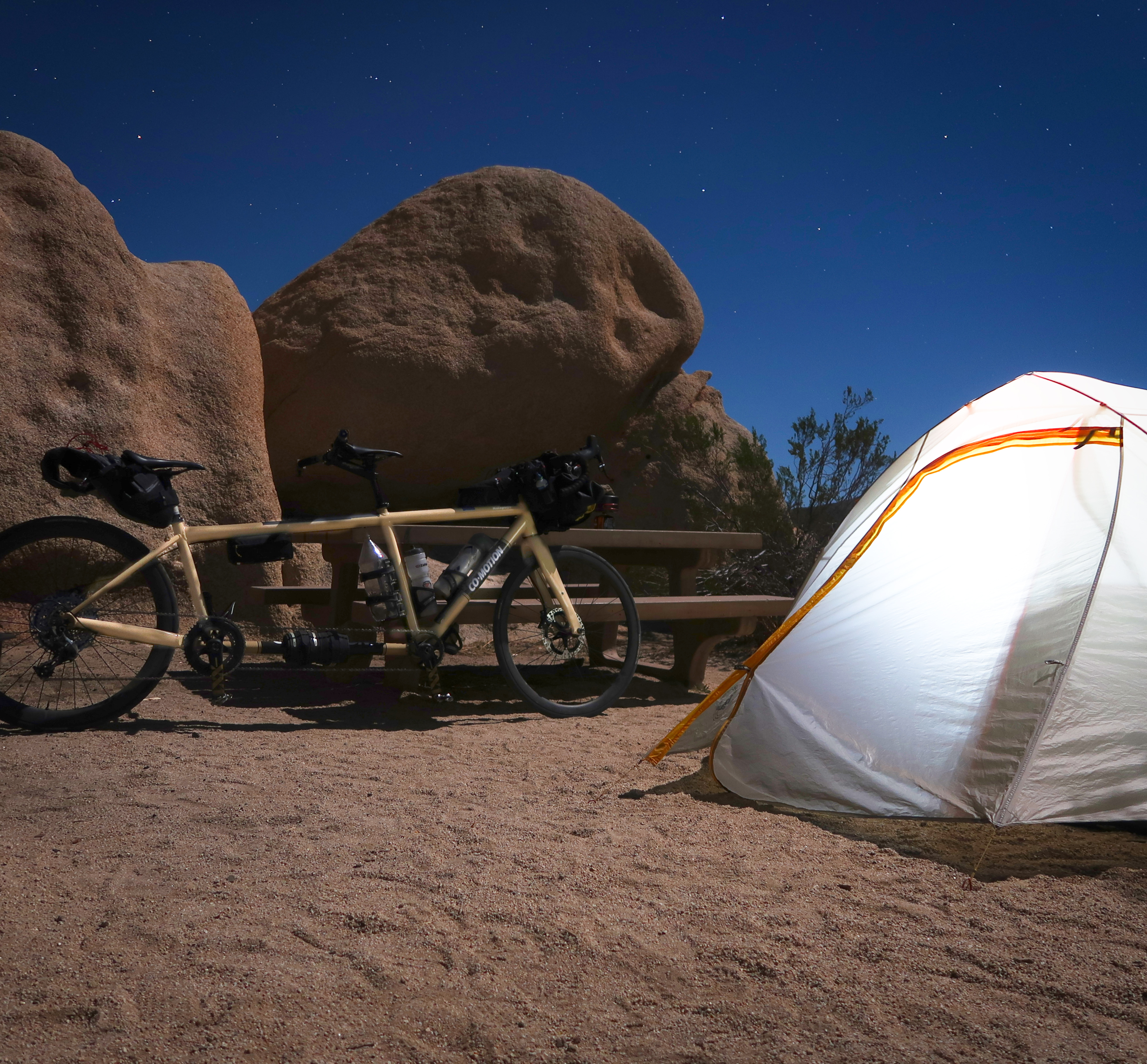
Joshua tree – we camped at Hidden Valley Camp the first night, and Belle Campground the 2nd night… but the BEST PLACE to stay if you’re on a bike is Ryan Mountain Campground. This is because they have hiker-biker sites there. Wish we had known that beforehand !
Our camp at Belle campground. We were the only tent surrounded by RV’s. The people in the RV next to us turned on their generator, which I grumbled about – then they invited us over for “tea.” Apparently, they had to turn on their generator to heat their tea – and they felt bad about us having to listen to it, so they invited us over for a long and friendly conversation.
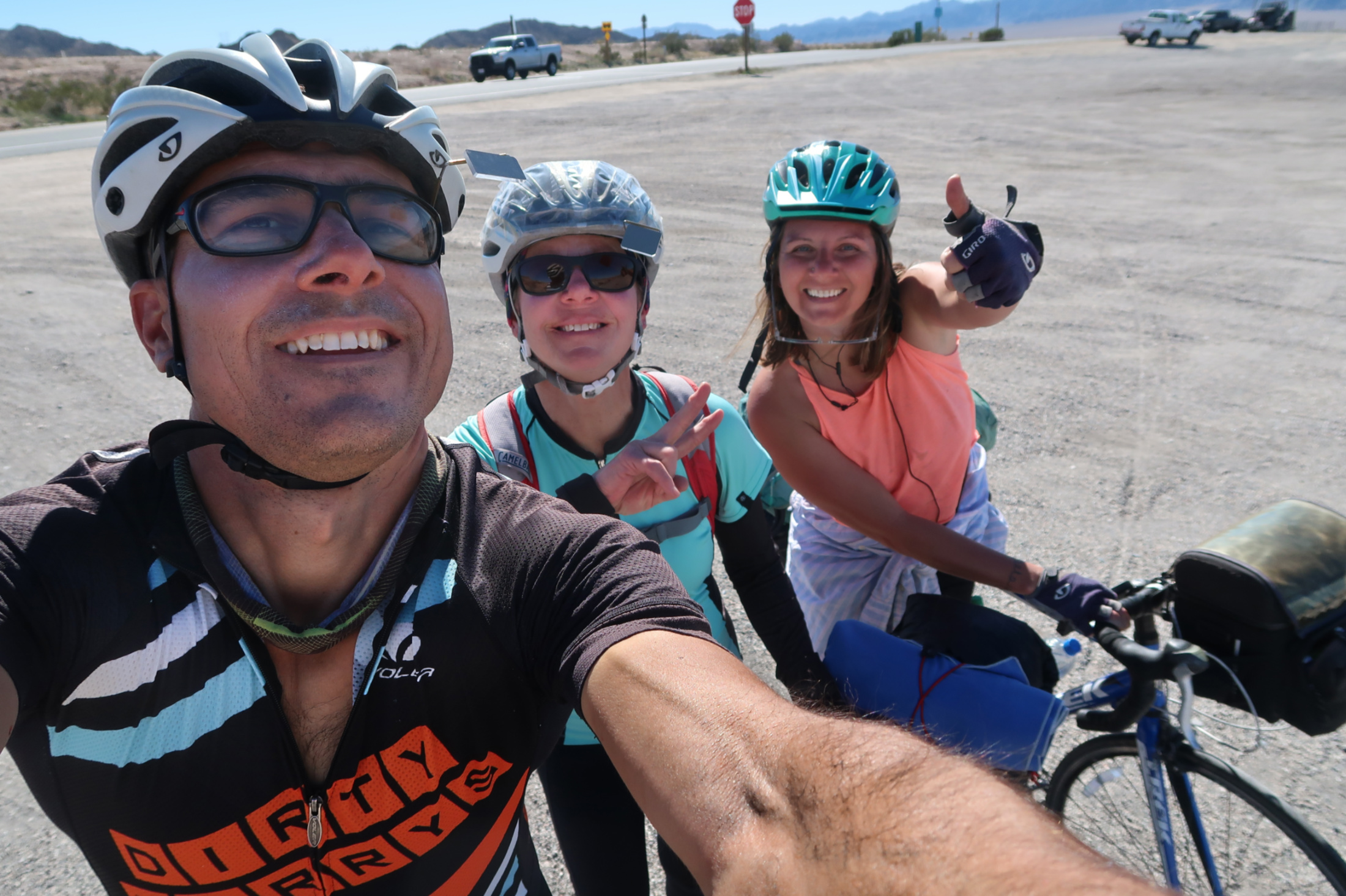
We rode HWY 62 East from 29 Palms… this was a great section. Then we met Megan at the intersection of 62 and 177. She had taken an Uber from Joshua Tree and didn’t want to ride the 100 miles with no services. Janet and I talked to her for a while; she was headed to Kansas in a mixture of biking and hitching. We later heard from a concerned motorist that she was hitching again shortly after we parted ways with her. East of 177, HWY 62 is not as quiet as the part from 29 palms to 177.
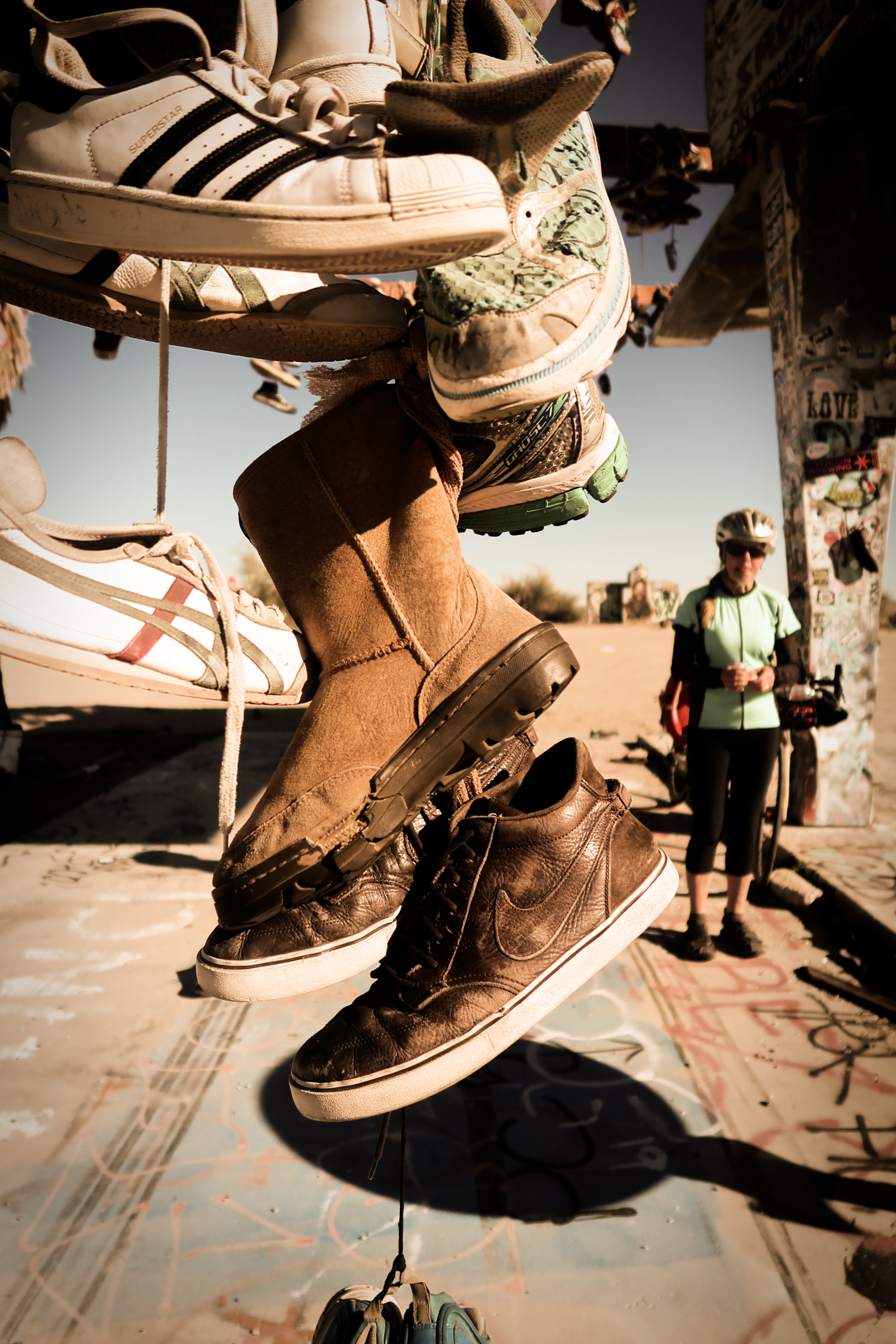
There isn’t much to see on HWY 62, but there is an abandoned gas station with lots of shoes hanging from it.. about the only tourist attraction for 100 miles!
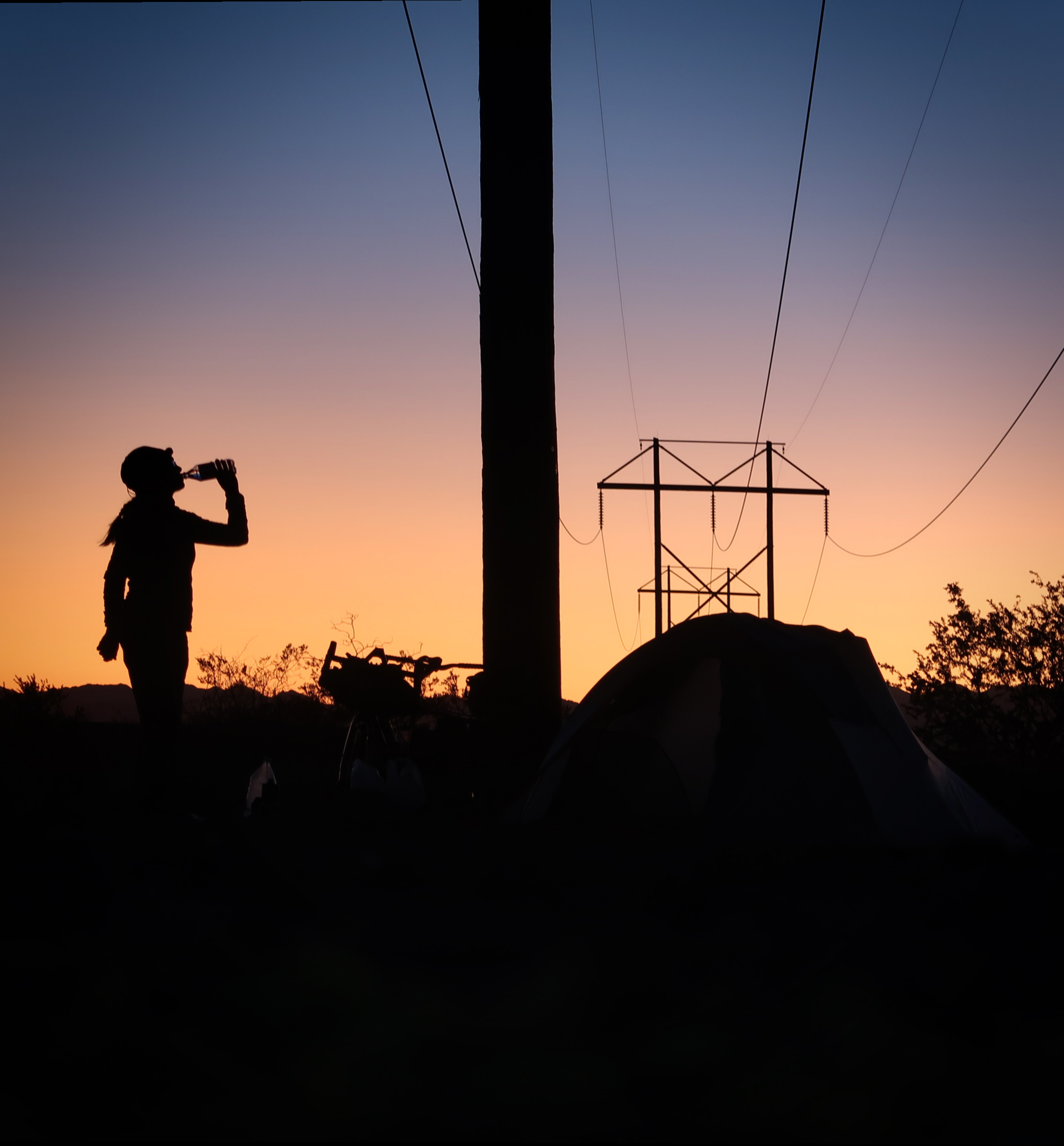
On Feb 7, Janet and I camped on some BLM land just before entering Arizona. There aren’t any facilities here, but it is a legal place to spend the night for up to 14 days. Other people were camped here in their RV’s; there was a lot of space.
Heading East from Parker, we rode on AZ95 and AZ72. Neither were good roads for cycling. Both had plenty of traffic, and 72 had no shoulder! We finally exited 72 and headed towards HWY 60. The backroad to get there was great, and 60 has a very wide shoulder. 60 is also considered a bicycle route. In Salome, we decided to take Salome road, which is also an excellent road, and probably more scenic than 60. We camped along the side of the road that night.
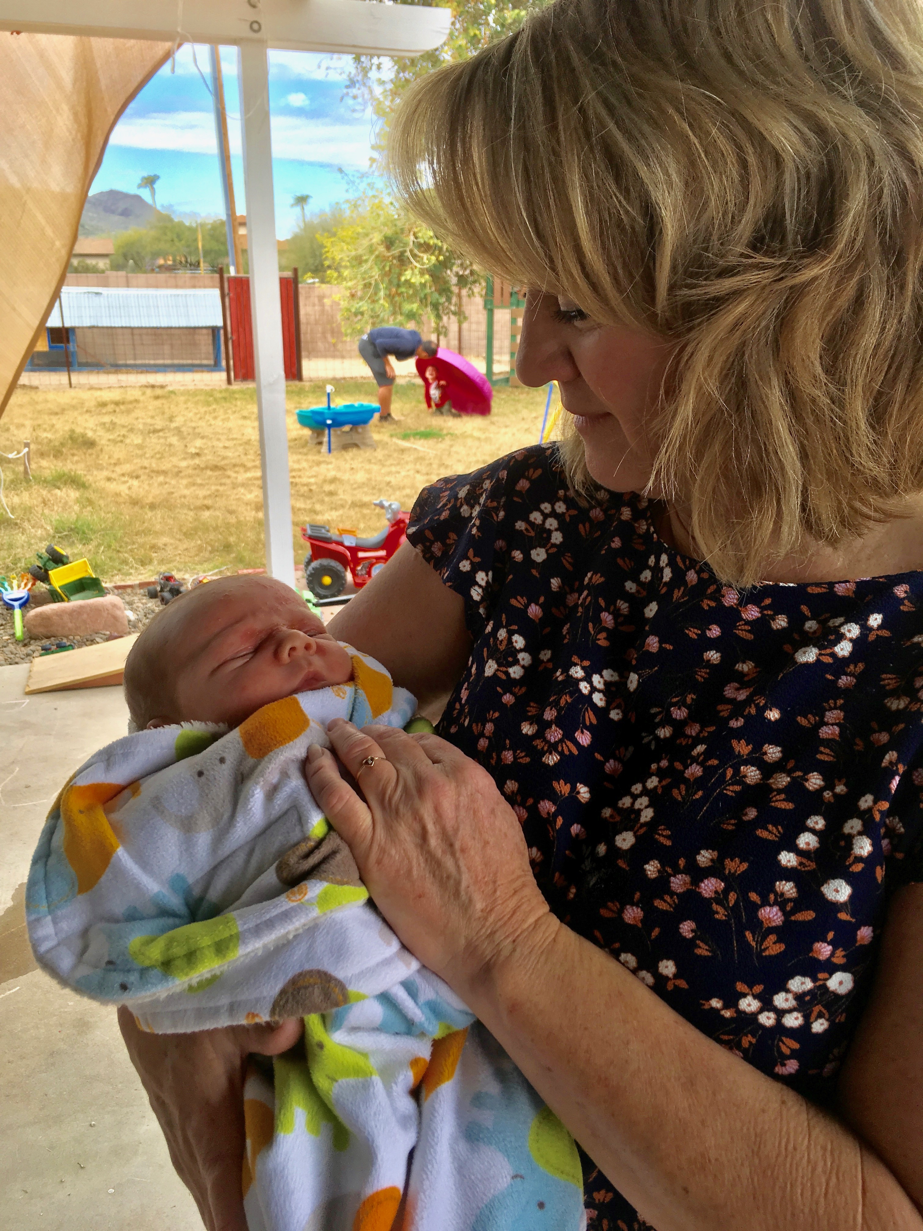
We visited Janet’s family in Phoenix, and got to meet a new great nephew, Cameron.
We left Phoenix riding mostly bike paths along canals. Before arriving here, we met a Harley guy who smoked and talked our ears off outside of Bashas. He was trying to discourage our route because it was “like nothing you have ever seen before”. Janet finally whispered, “I don’t want to talk to this guy anymore,” and she went inside to shop. I enjoyed talking with him anyway, even though he thought we could never make it over Apache trail. He claimed that he blew his motorcycle shocks out on this road. He said, “you better be carrying lube because you’re going to need a lot of it.” He asked, “what kind of protection are you carrying?” I said, “ well, we have a 3 person tent because…”. He interrupted, “no, I mean, what do you have for protection?” I suddenly realized, he meant “what kind of guns do we have?” I wish I made a list of all the shockers and warnings he gave us about this dirt road. Anyway, what he didn’t know was that this road was now closed to cars due to a landslide! So everything he said about cars racing by and throwing gravel and making lots of dust was now irrelevant!

There is a great view point just before you start the very scenic Apache Trail.
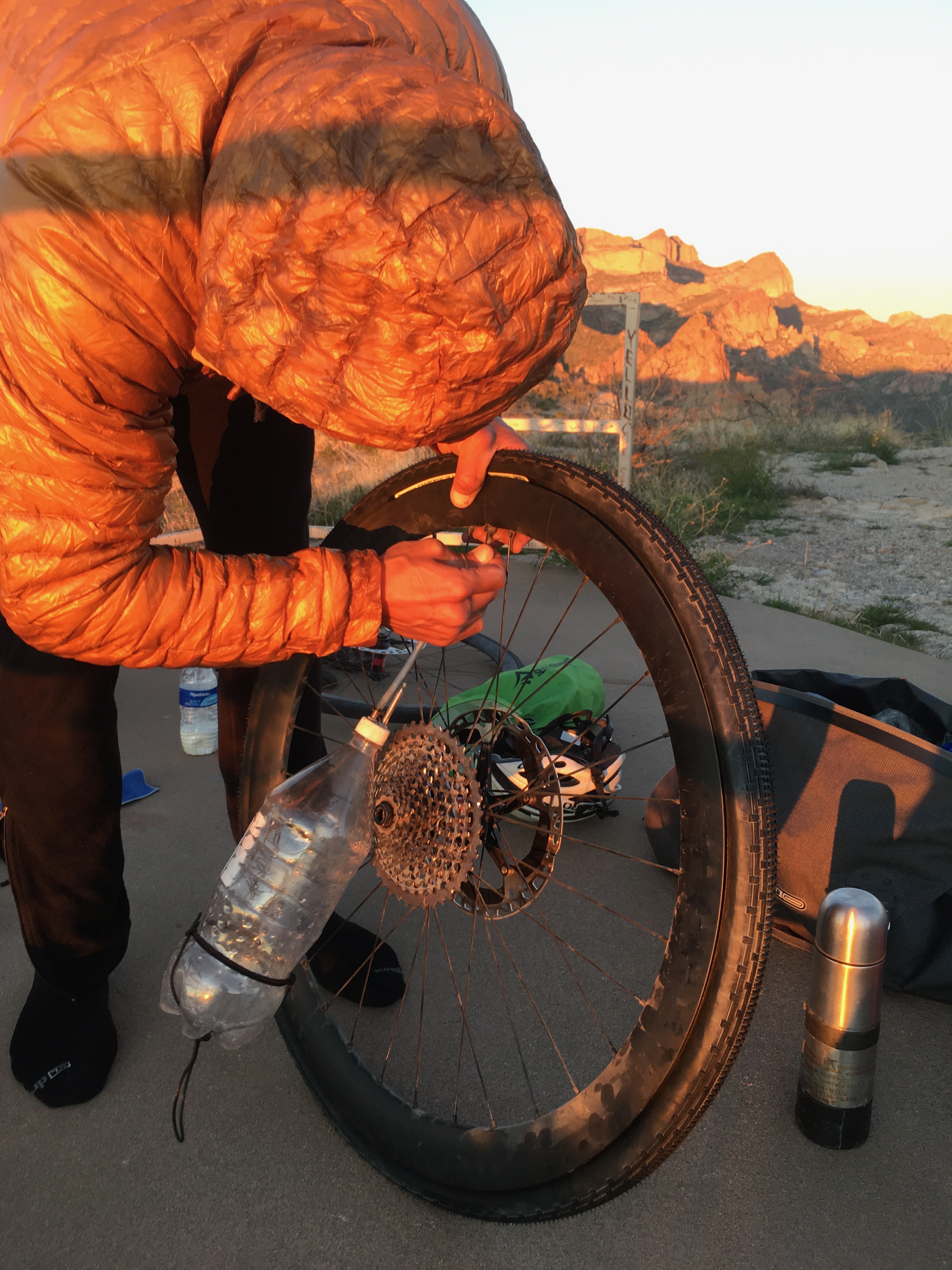
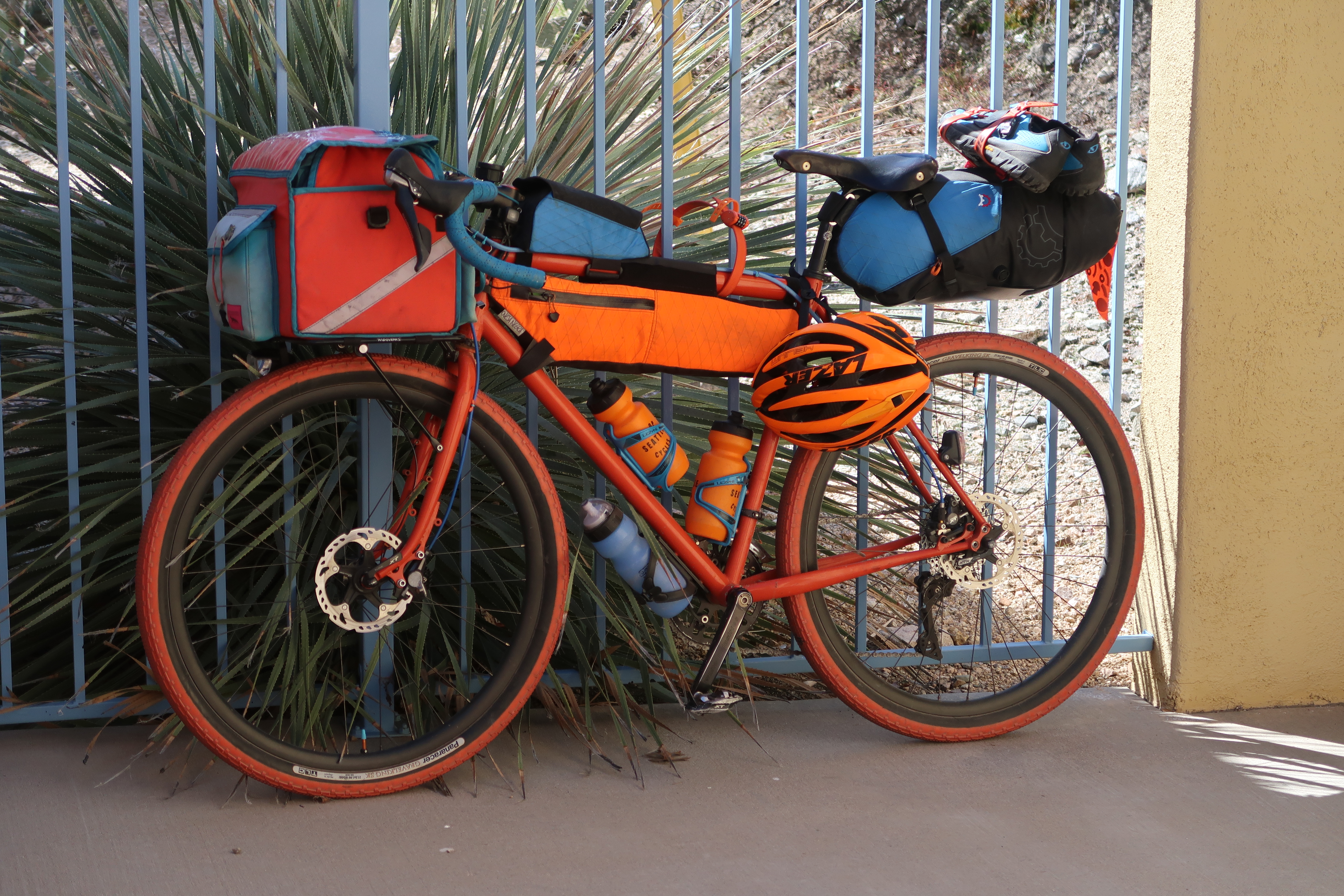
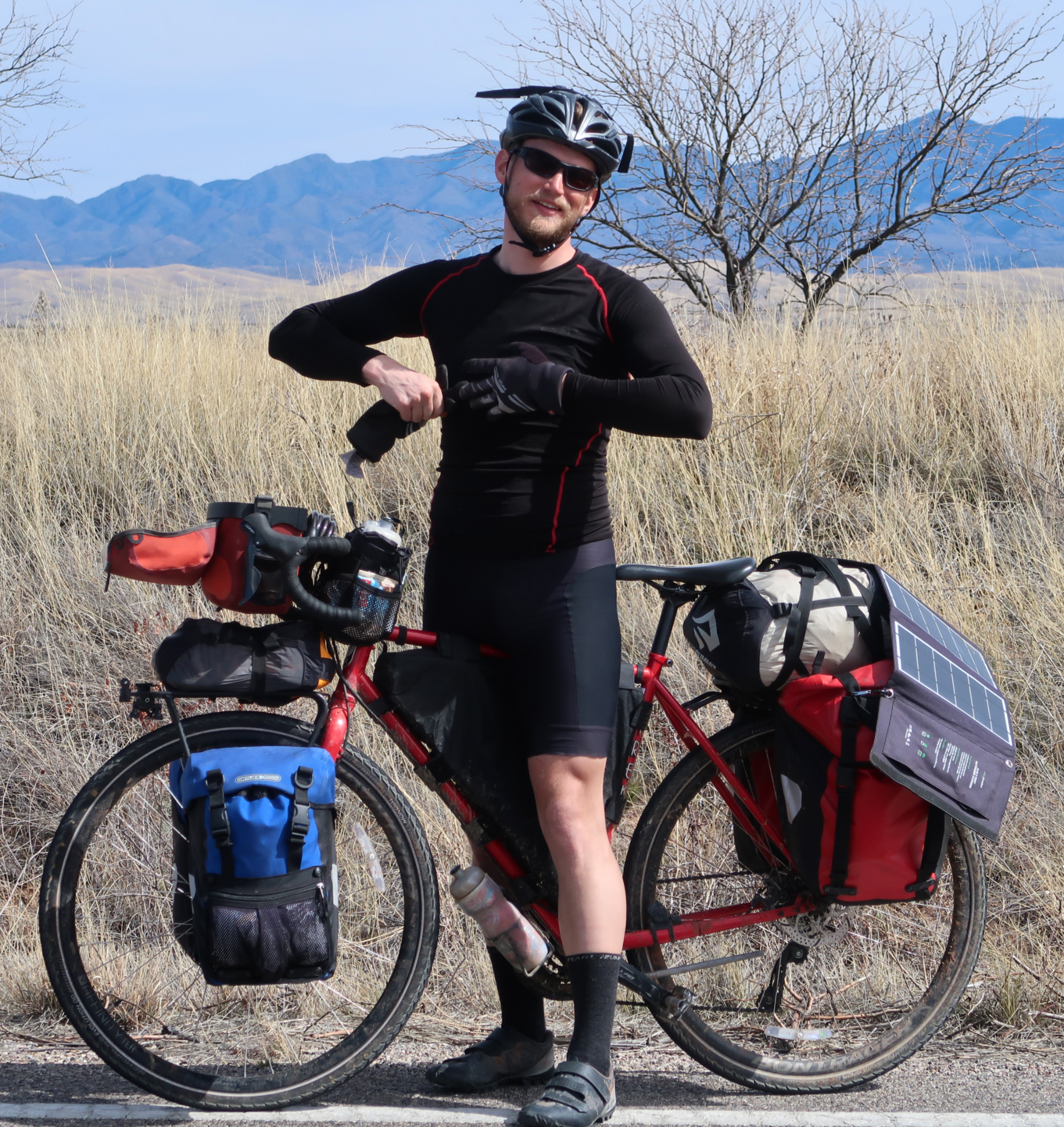
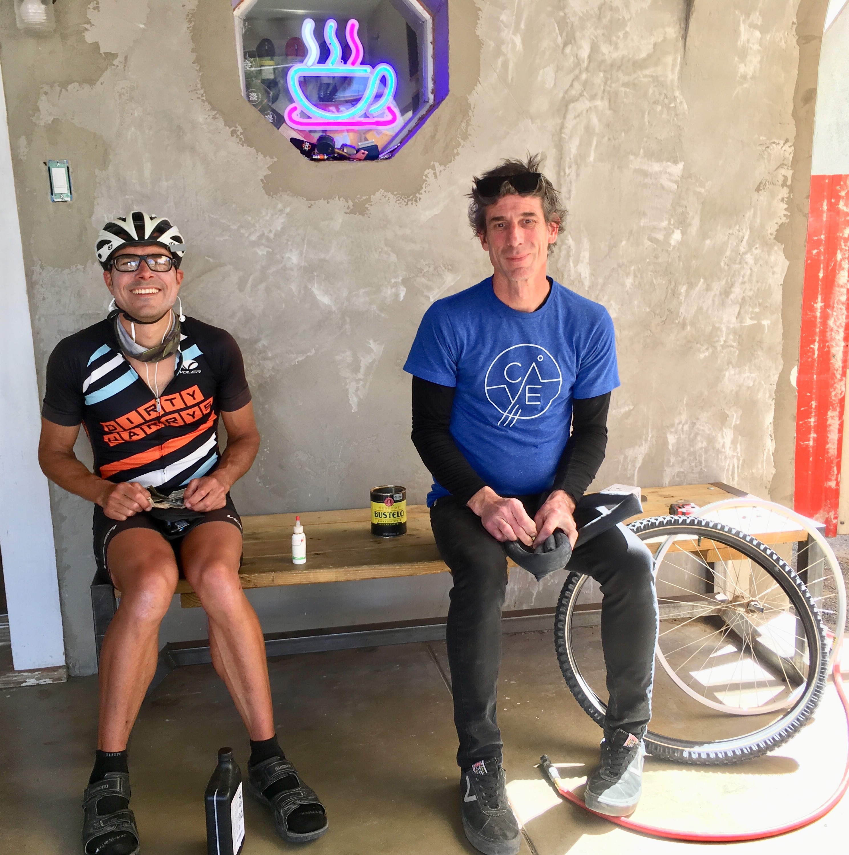
Before we started the more difficult section of the Apache Trail, we switched our tires from 25c Conti 5000’s to 38c Panaracer Gravel Kings. This bottle serves as my air compressor: I fill it with my bike pump and then let a blast of air into the tire to seat it. It’s not perfect, but I doubt I could have seated the tires without it.
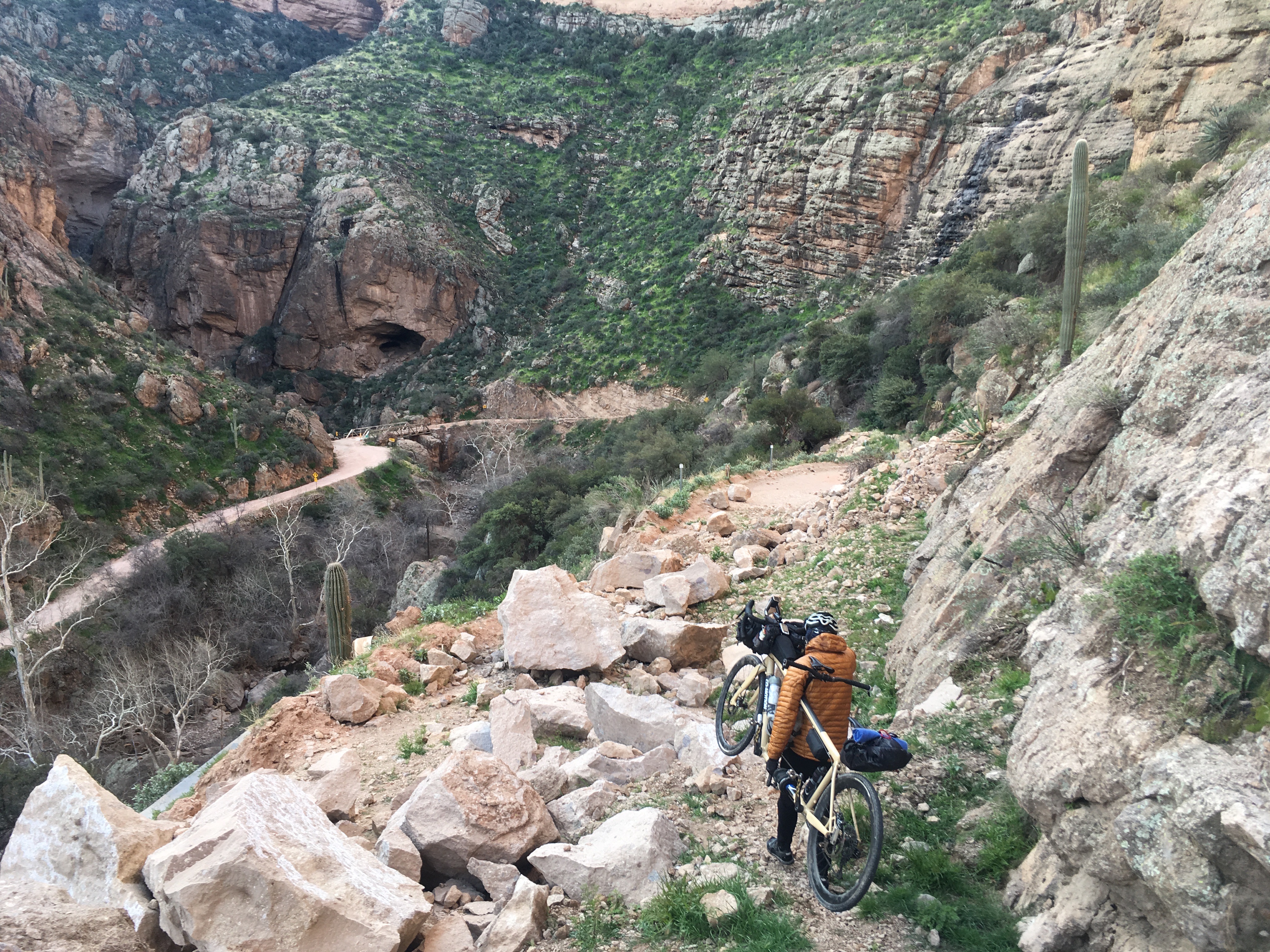
This is why the Apache Trail was closed! Bikes can get through. It was time consuming and I had to carry the bike a lot – but it was worth it for the scenery – and peace and quiet.
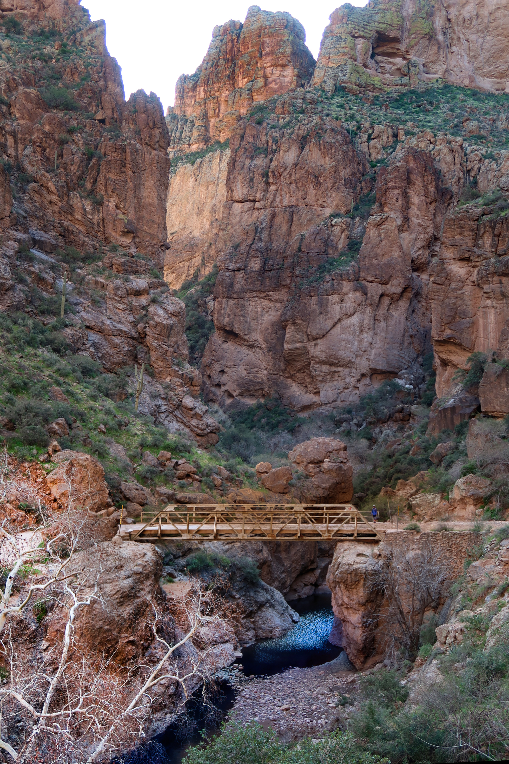
Some canyons along the Apache Trail!
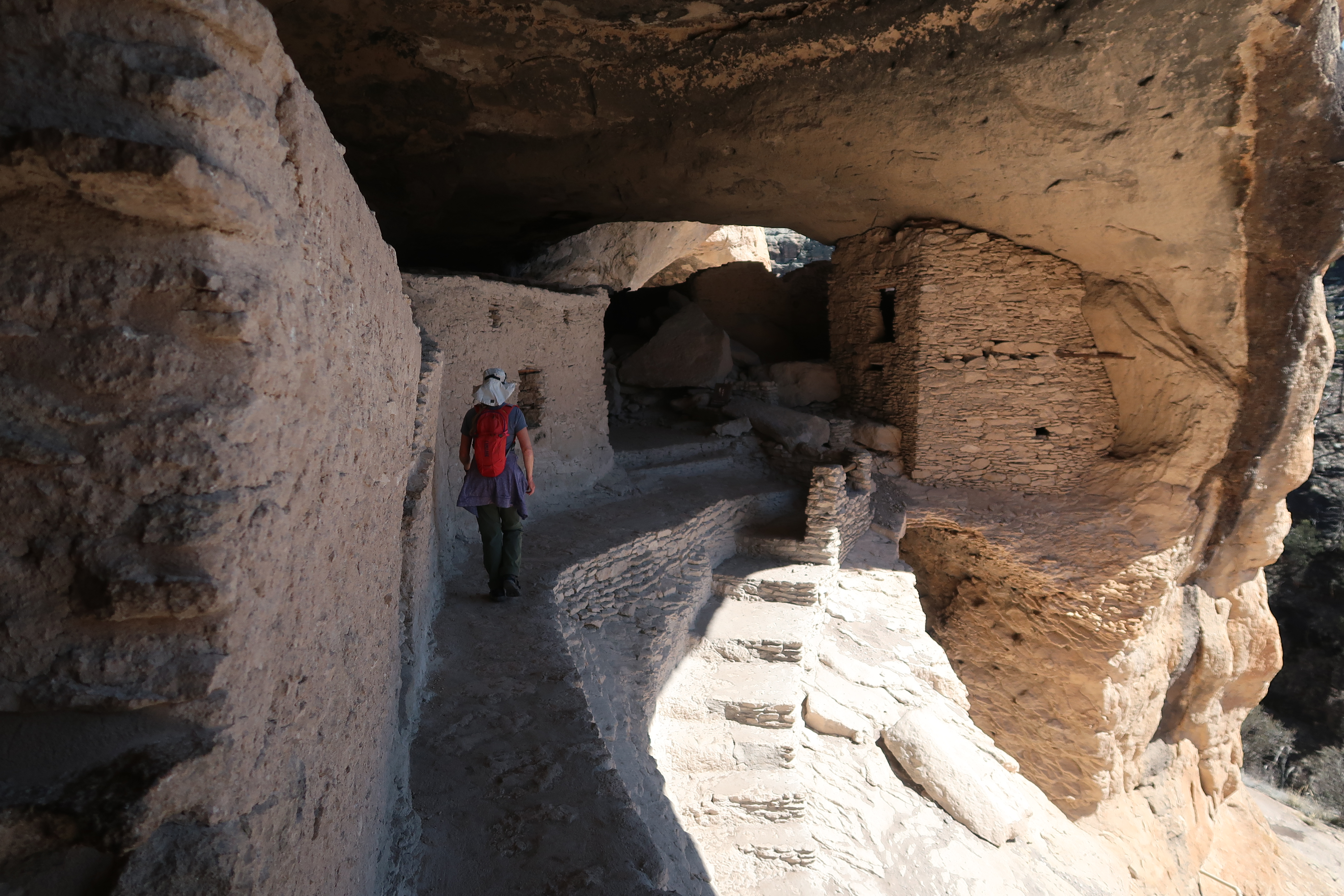
Janet and I took a side trip up to the Tonto Cliff Dwellings National Monument.
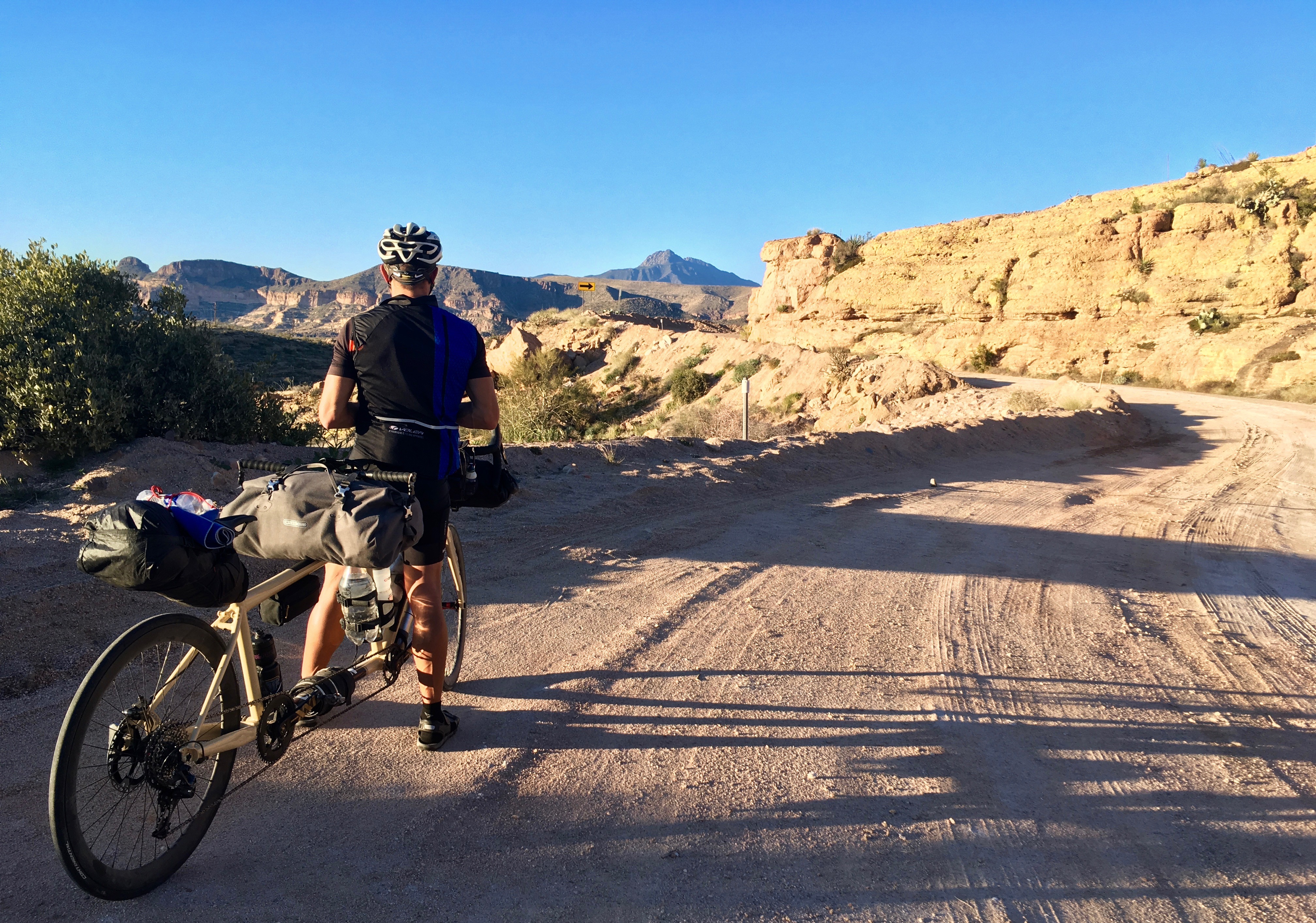
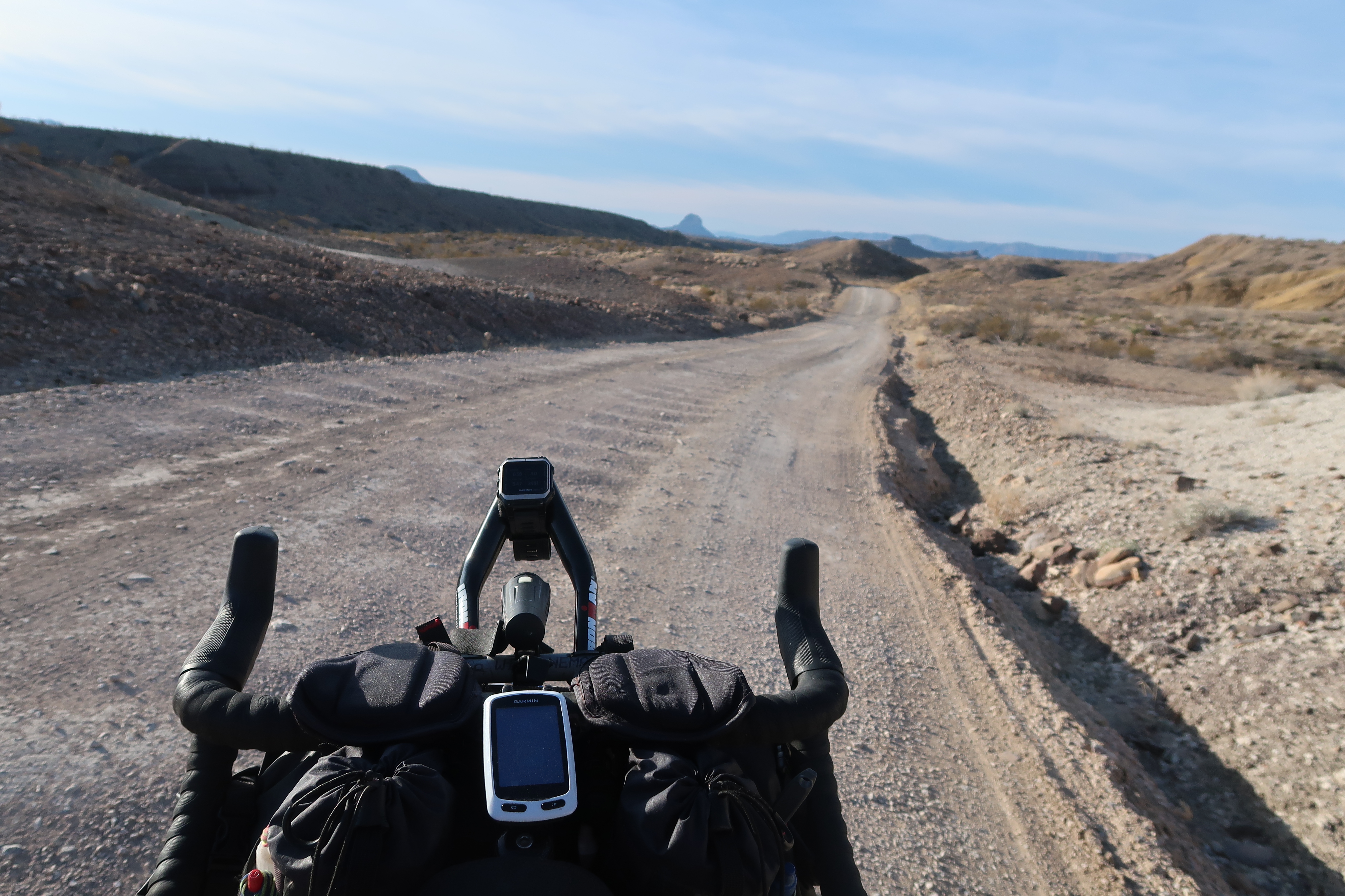
AZ77 heading South after Winkelman wasn’t too bad. I think there was even a shoulder… but we decided to take a side (dirt) route that I saw on the map. We would have saved a fair amount of time if we had stayed on the road, but this section kept it interesting!
It was the end of the day, and so far, every day on our trip has had nights well below freezing. Late in the day with nowhere to camp (as well as rapidly dropping temperatures), we decided to look for accommodation in Oracle. We tried booking.com and other websites – but everything was booked. One place mentioned that we could try “The Chalet Village Motel.” I called them – and the family that runs it was driving to a family emergency. They said that they were only open for hikers and bikers. They are trail-angels for the AZT. This was the perfect place to spend a comfortable night at a reasonable price. They had left a woman in charge to manage things while they were away. We felt very fortunate, and highly recommend them.
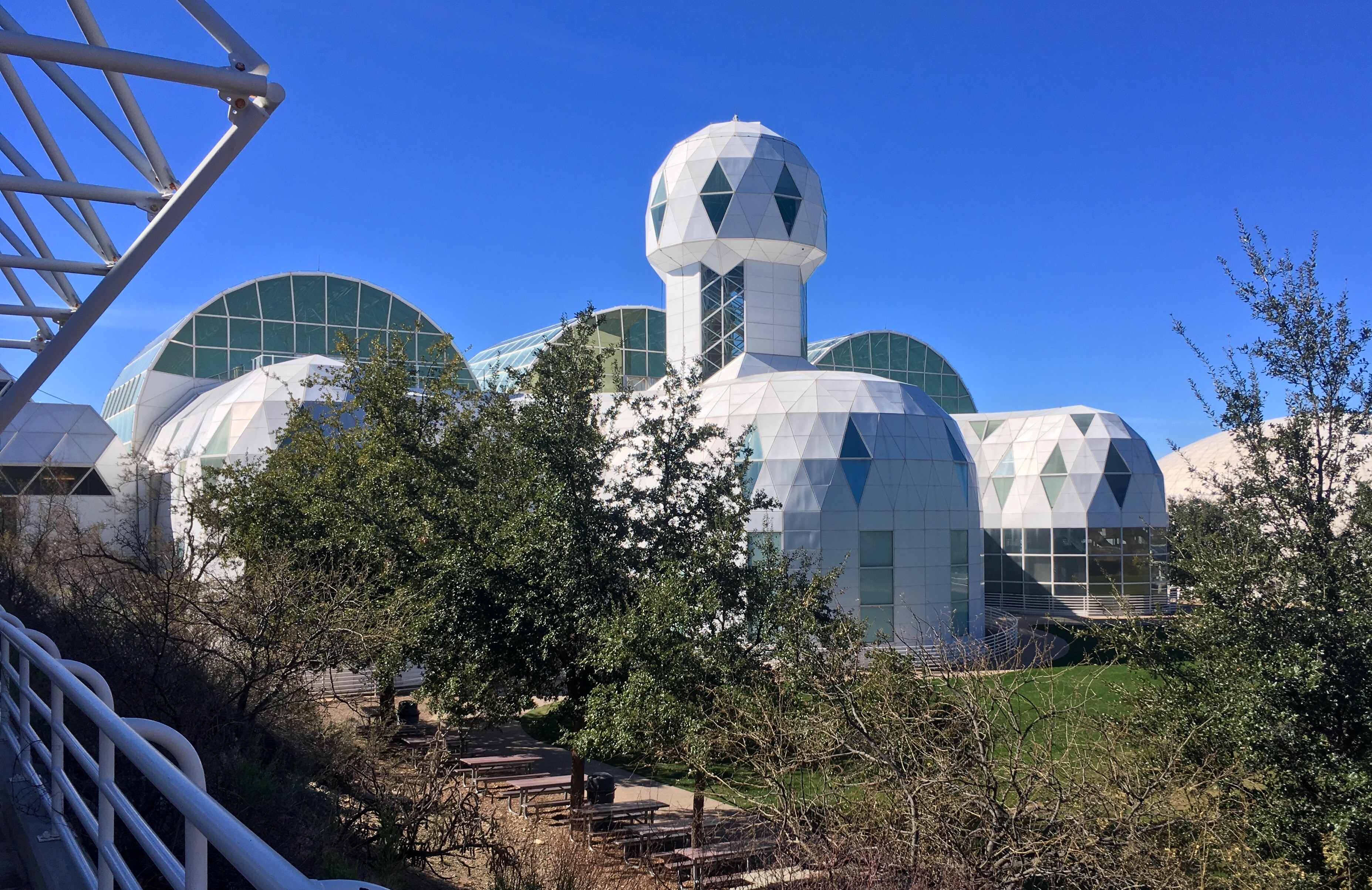
After leaving Oracle, we decided to visit Biosphere2. This is where experiments were conducted to see if people could survive in a contained environment for years at a time and self-sustain. We had our doubts about paying the $20pp entry fee – but we ended up being glad we did. The tour did not address the original purpose of the Biosphere very much – perhaps because the story was laced with conflict and drama?
Another bike packer seen at the Biosphere2. Turns out he is named Andrew and he is on Strava
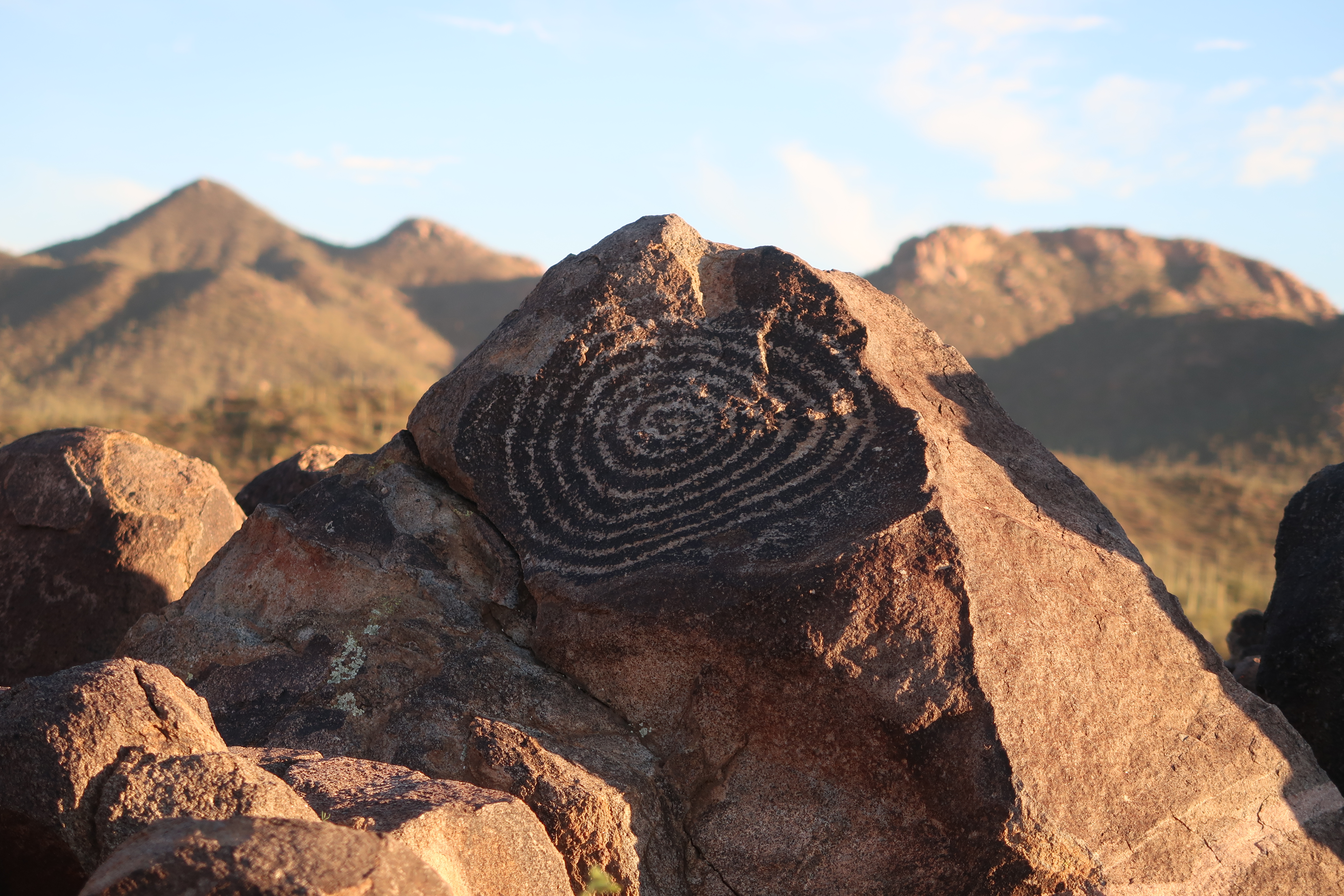
Checking out some petroglyphs in Saguaro National Park.
Our friend Steve came and joined us near Saguaro National Park to tour with us. He planned to ride to El Paso, TX. He also suggested that we go visit Colossal Cave. The cave tour was OK, but the nearby campground was great. Both the routes we took into Tucson as well as the route we used to cross the entire city on departure were great: Most of the way was on well paved bike paths.
On our way to Chiracahua National Monument, we encountered Frank who was riding from Austin, TX to Ensenada, Mexico.
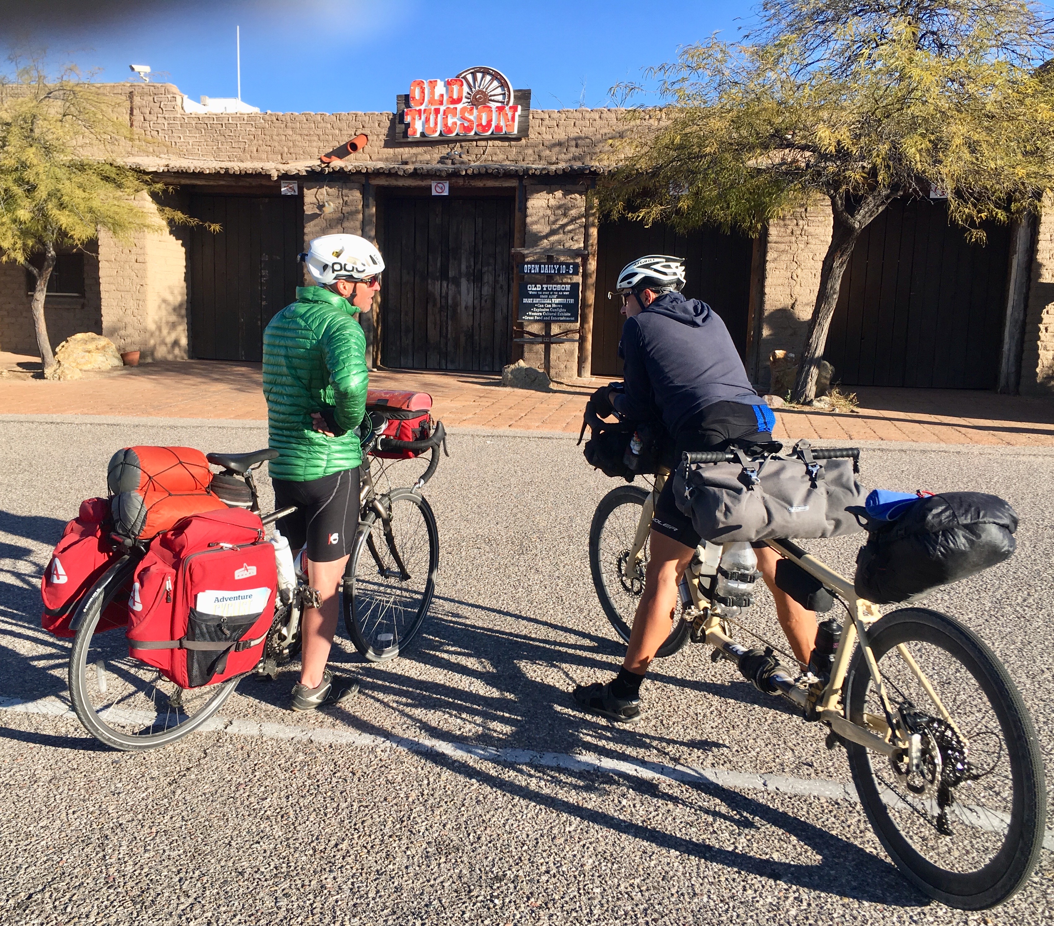
Along with Steve, we went to visit Old Tucson, which looked like it might be a tourist trap. It didn’t matter because it was closed by the time we arrived.
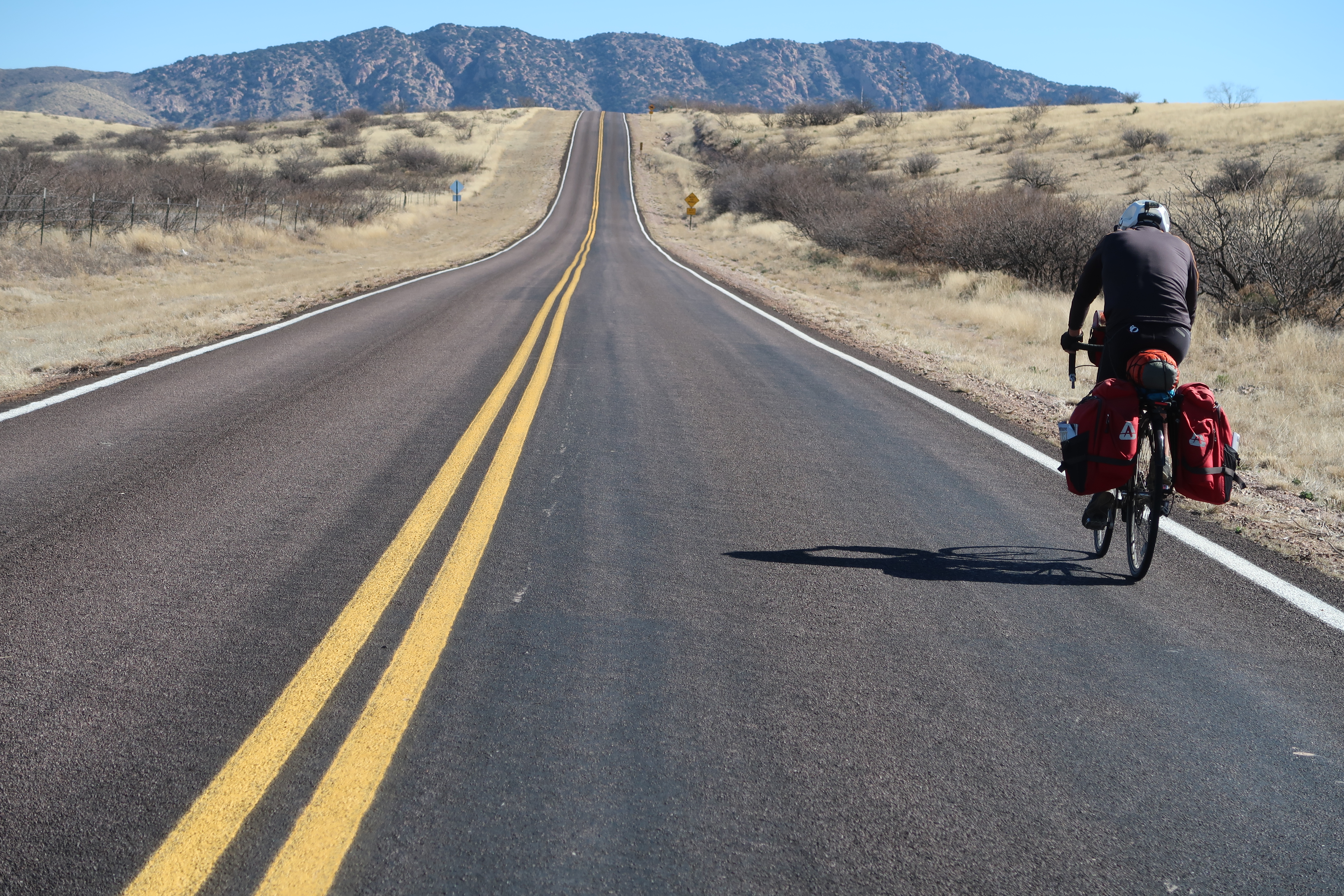
The route we took on HWY 83 and then later to HW 82 was very good and low traffic.
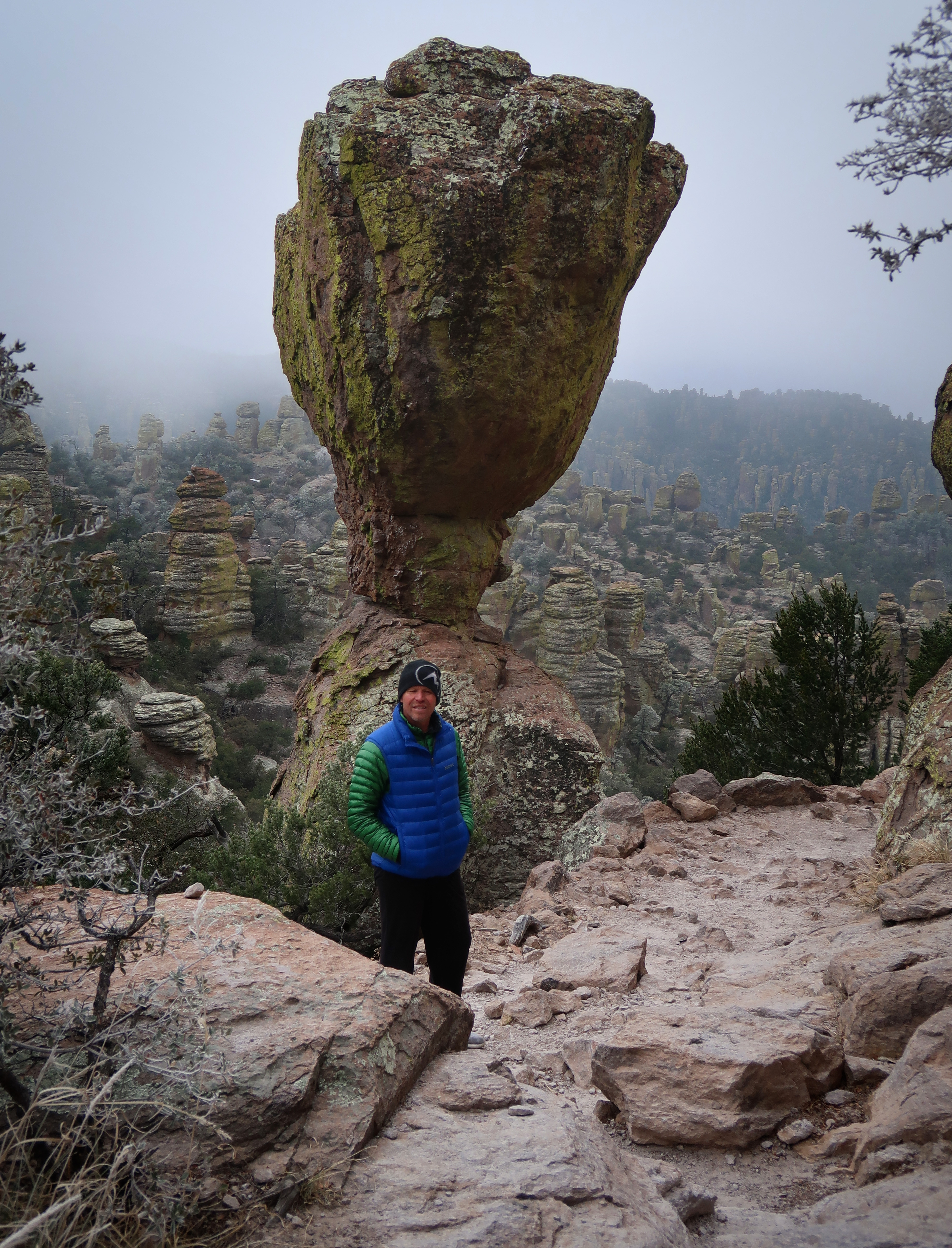
We went to visit Chiricahua National Monument – and took a shuttle to the top so we could hike back to the campground. We were glad that we took the shuttle because it was snowing lightly up top.
A section I had been really looking forward to was Forest Route 42. This is a dirt road and was in good condition when we came to it. We had to rush ourselves a little because we knew that a storm was coming in later in the day.
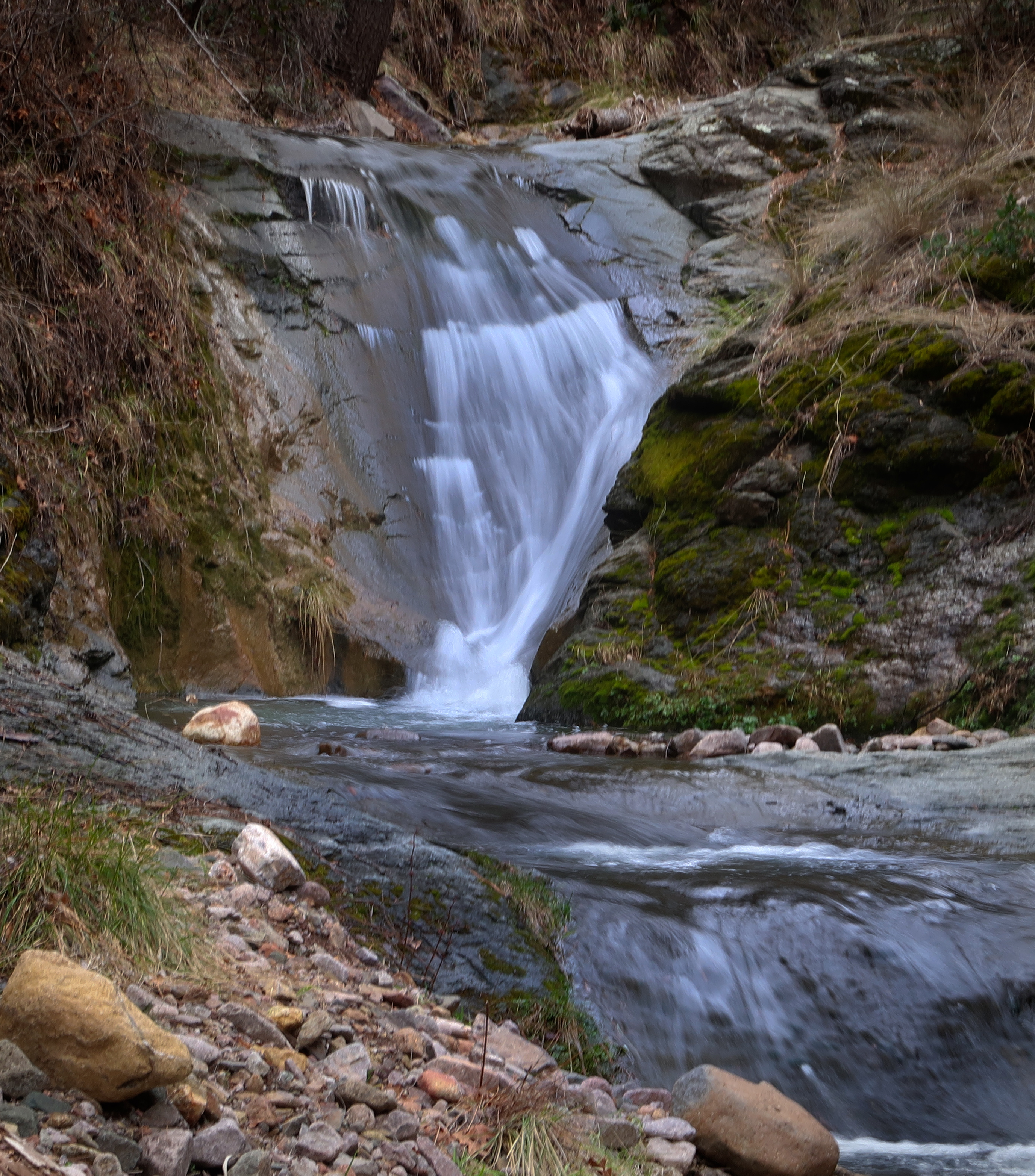
I had seen on Open Street Map that there were a lot of “attractions” along FR42. I wish we had more time to do detours, but this was one of the waterfalls that we took a side trip to visit.
Heading down FR42.
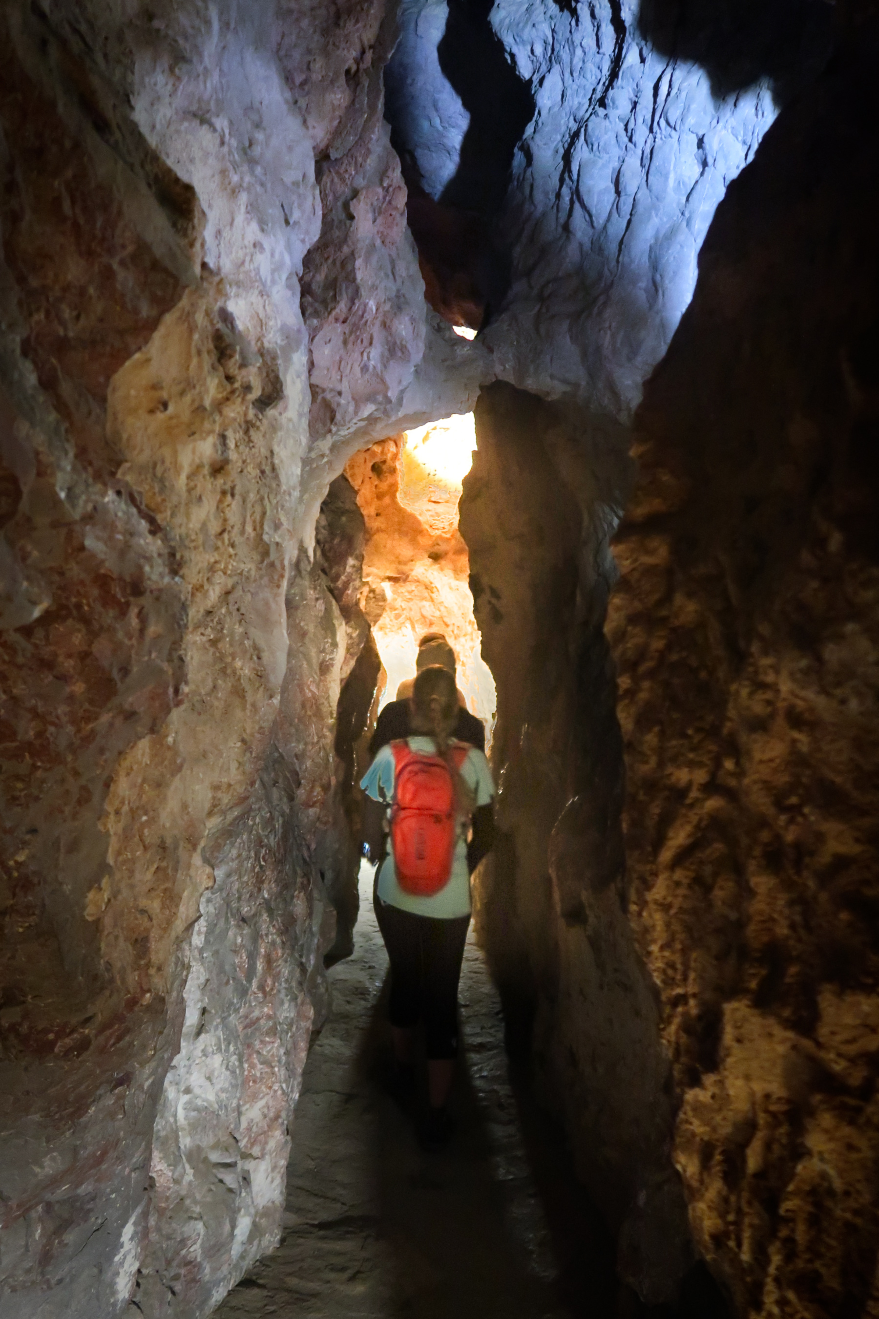
Walking to visit Crystal Cave.
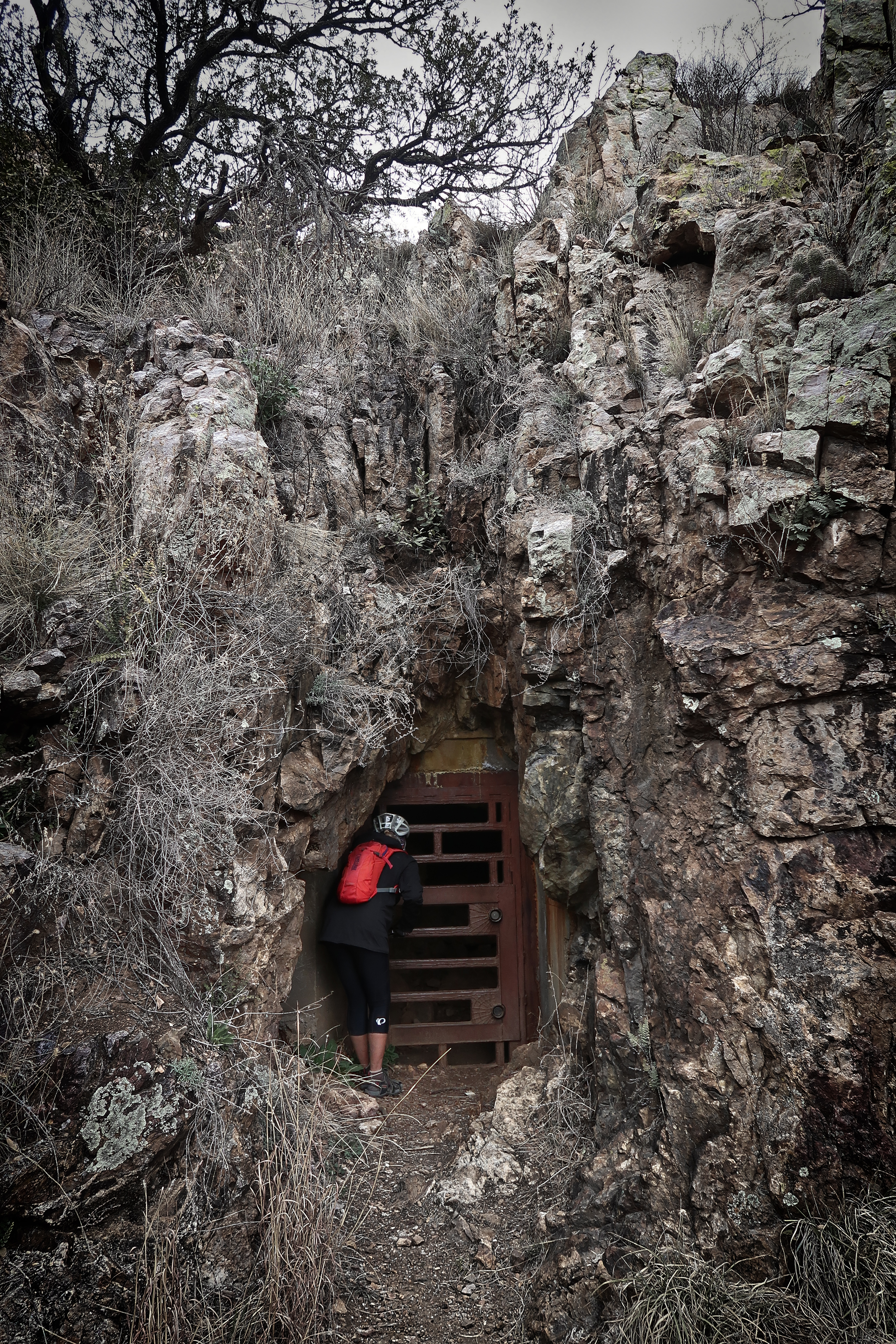
The entrance to Crystal Cave. I had seen this on a map… but didn’t realize that it had restricted access. With some planning, it can be visited.
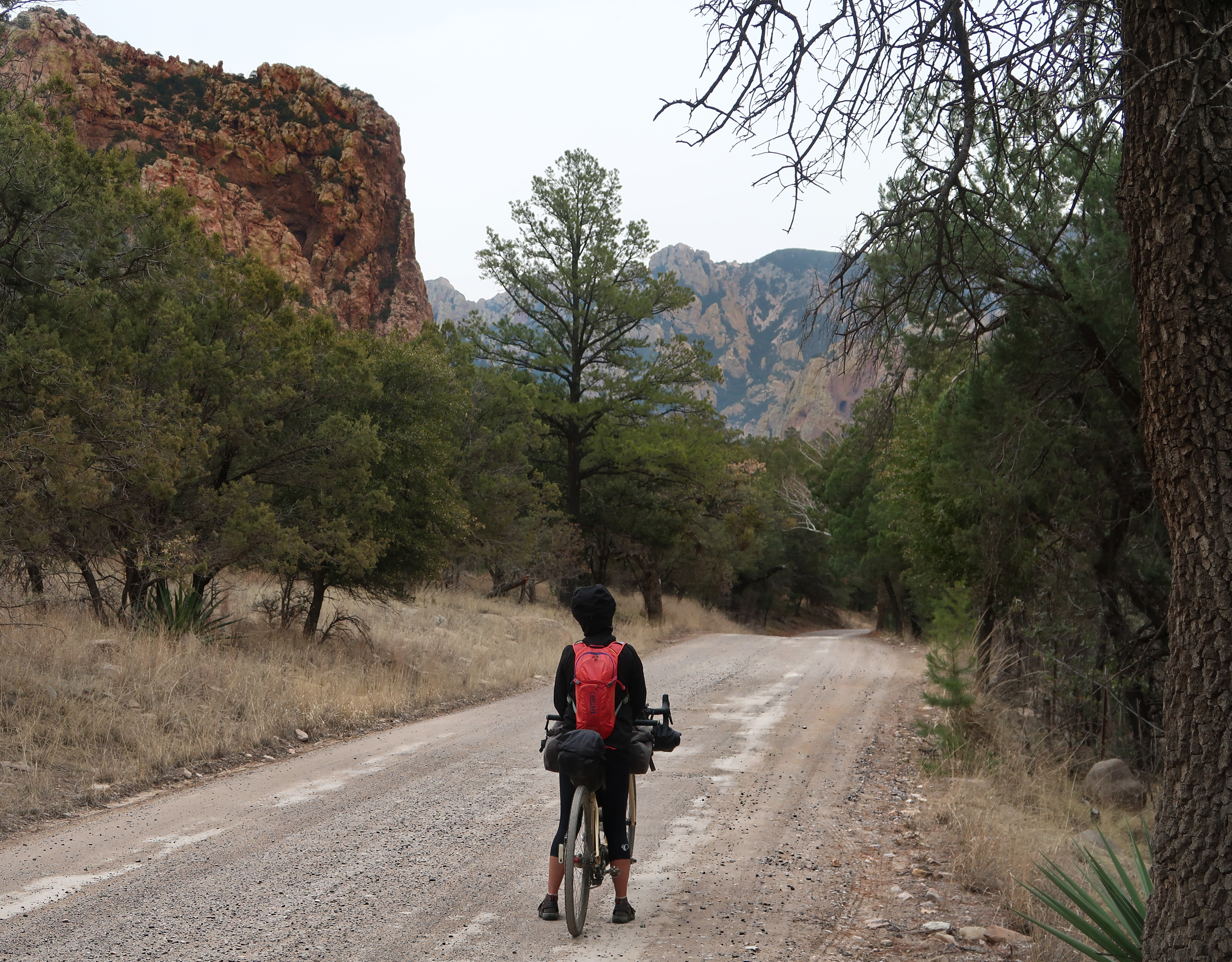
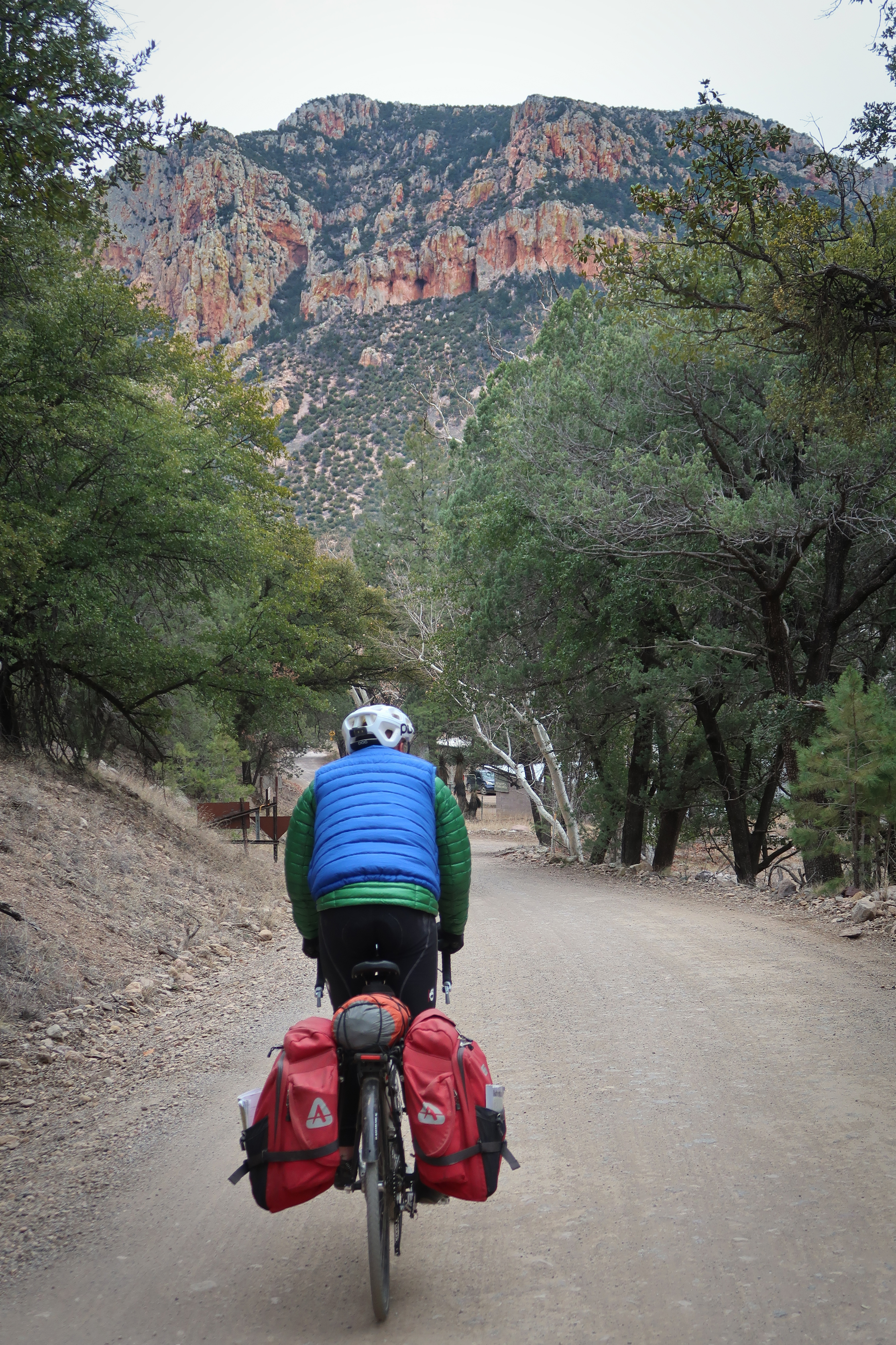
Coming out of the canyon on Cave Creek Road. This is an area that merits a lot of further exploration. It is an area rich in trails and campgrounds. It is very popular with birders.
Heading into New Mexico. This was the route for us to connect Chiricahua to the Gila.
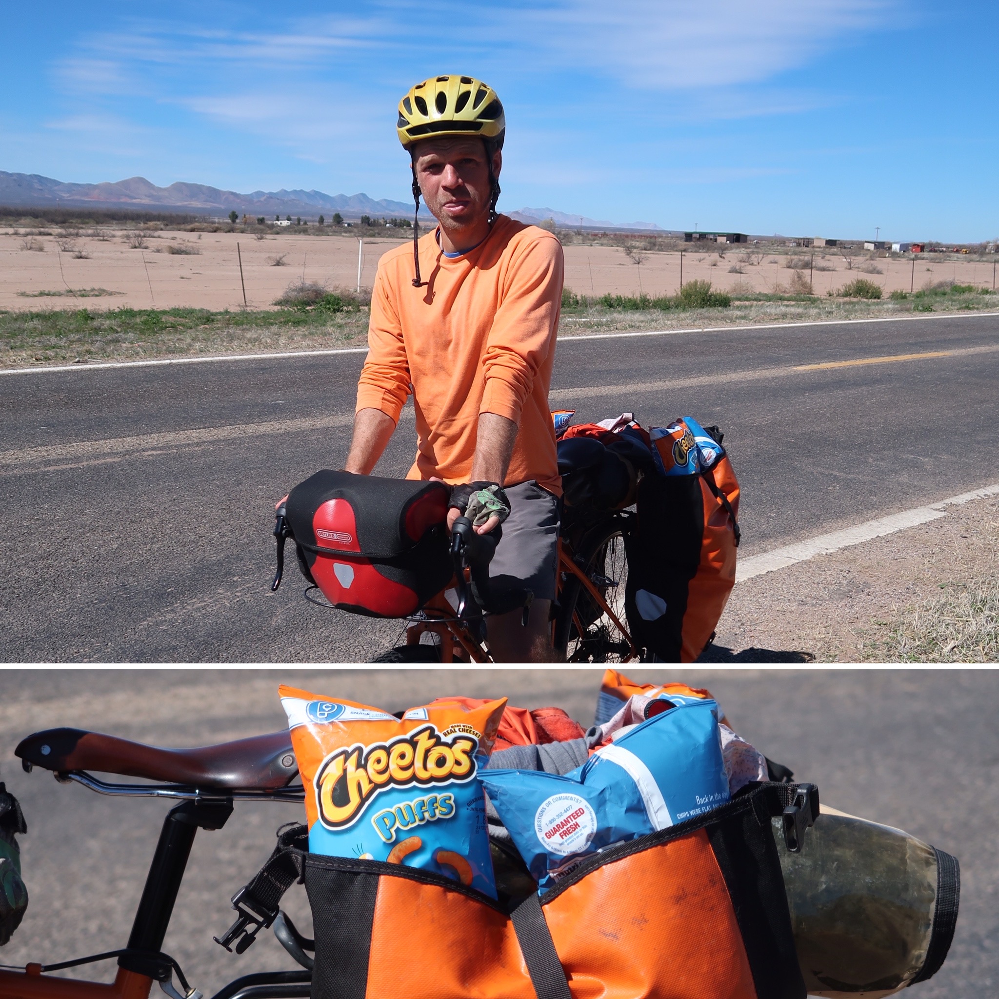
Along the way, we met Brian who seems to like Cheetos!
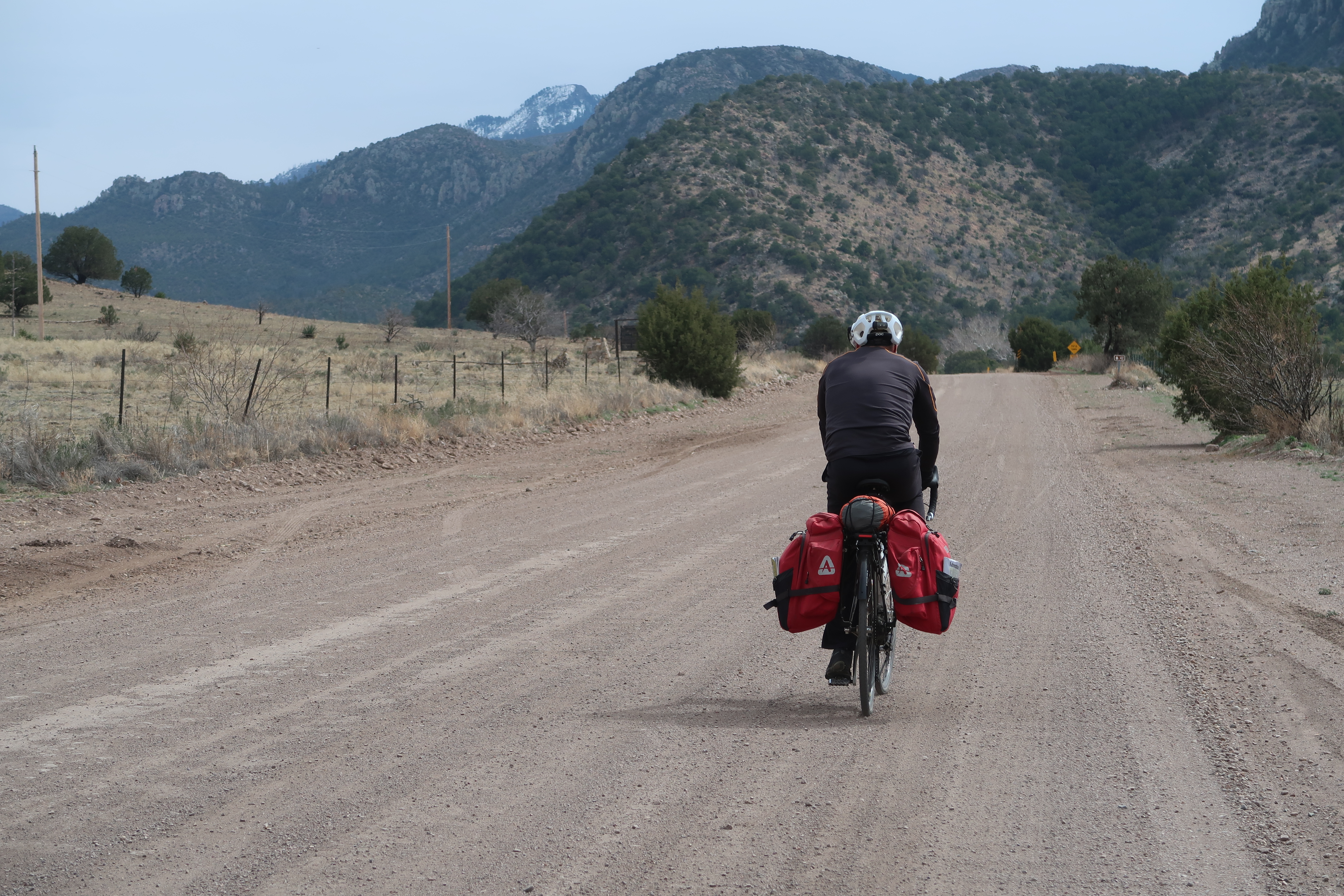
The road from Silver City to Gila National Monument was very quiet and idyllic – a highlight.
Given that the temperatures had been in the 20s and below, Steve wanted to rent a room (see cabin in background). We were planning on camping at the Gila Hotsprings campground, but we saved that for the next night instead.
Visiting the Gila National Monument.
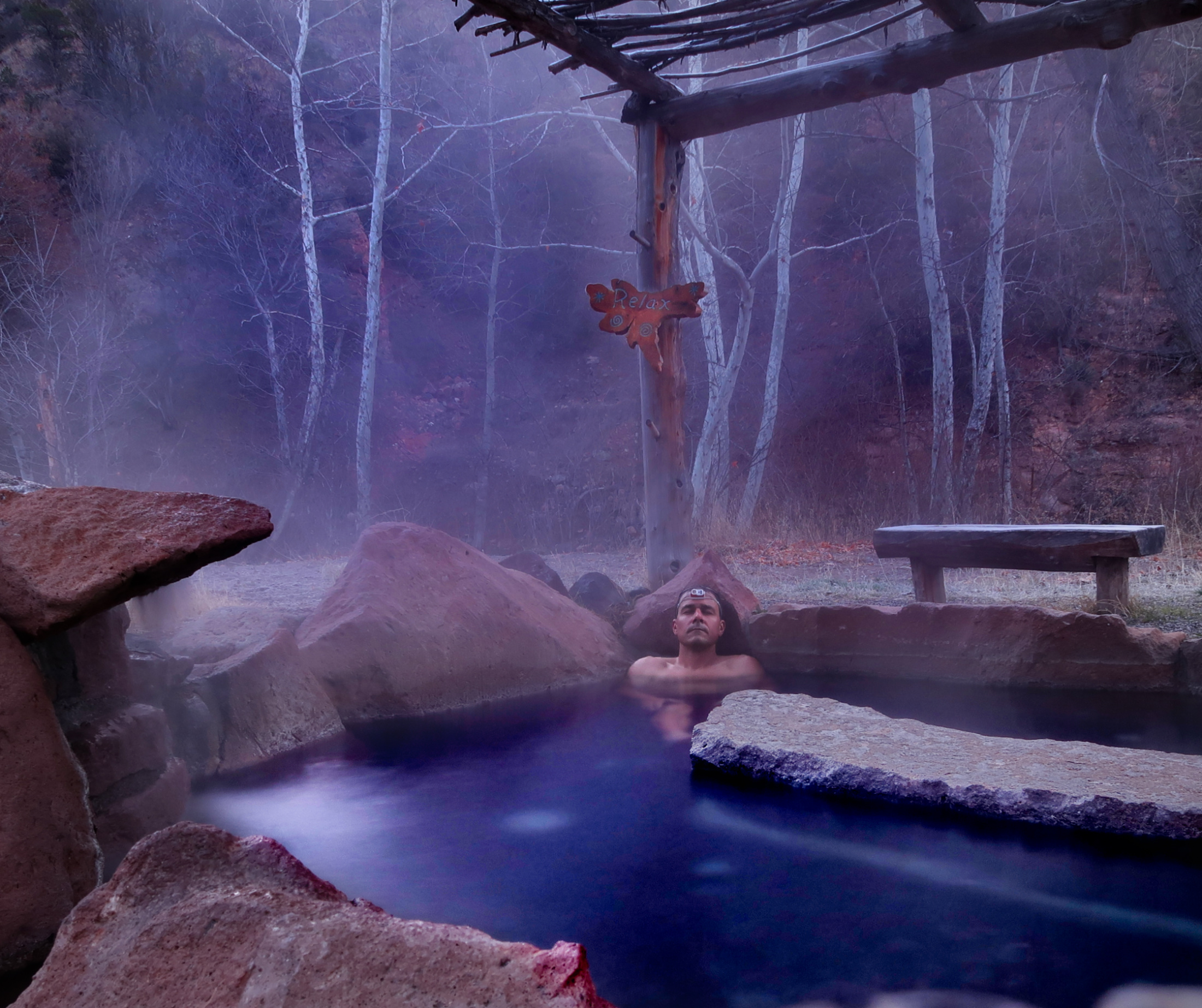
These are the Gila Hot Springs; It costs $8 per person to camp here per night, and it makes for the perfect place to stage for the next leg up to Gila.
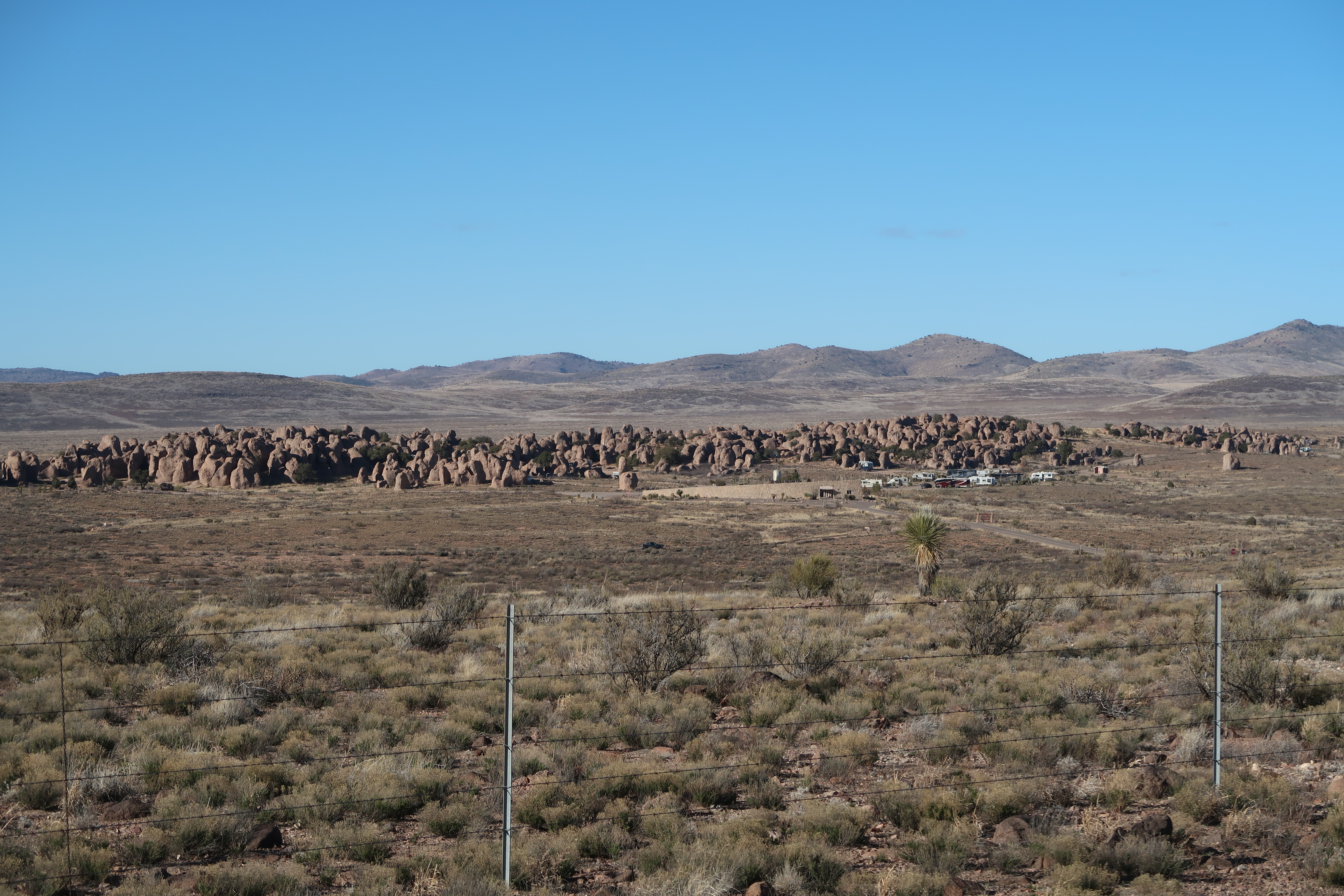
On the way way to Deming, we took a side trip to “City of Rocks.” The ride on NM61 to City of Rocks was fantastic. Our original plan was to ride NM152 over the mountains, but the wind direction and very low temperatures encouraged us to choose a new route.
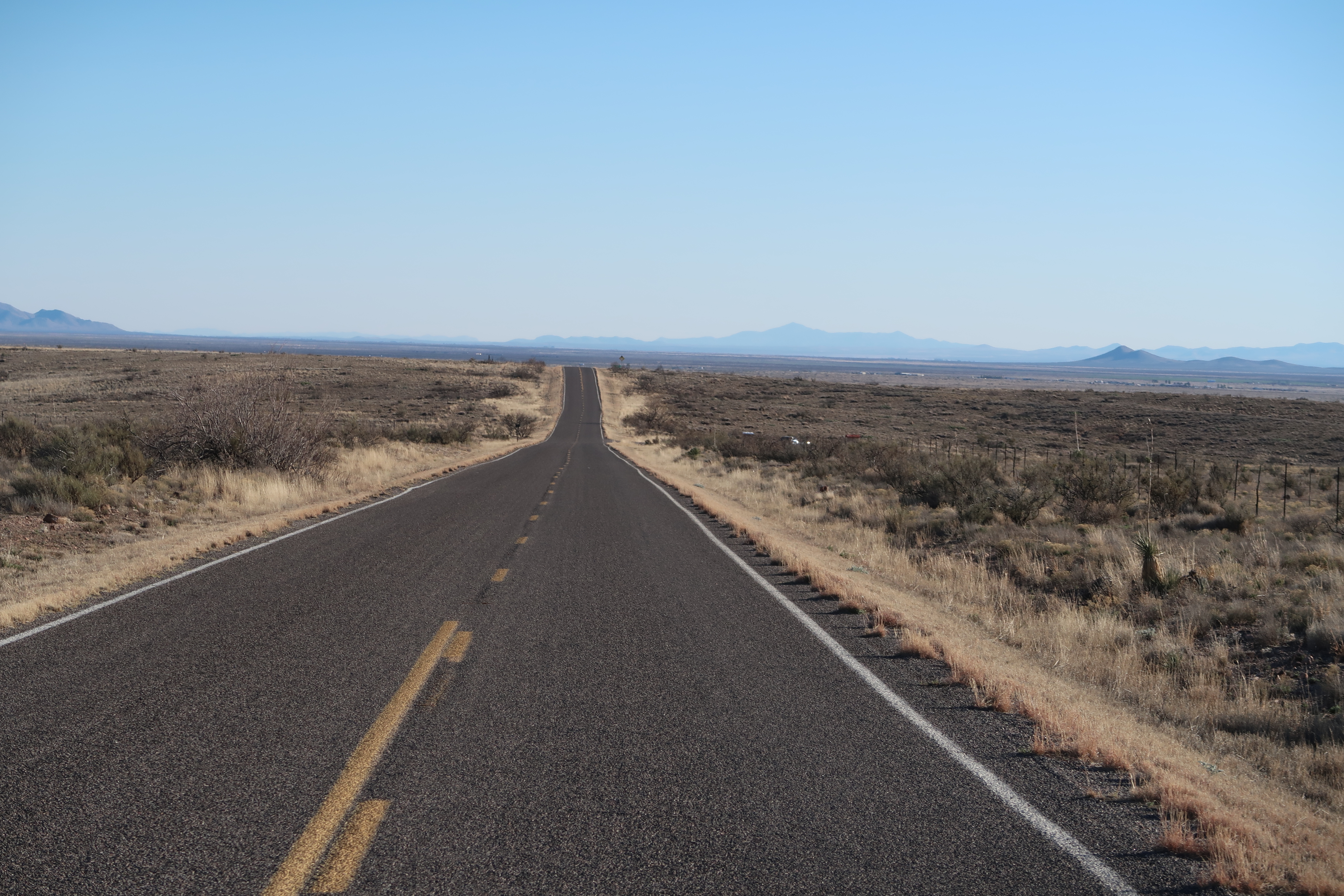
This is the road heading to City of Rocks. NM61
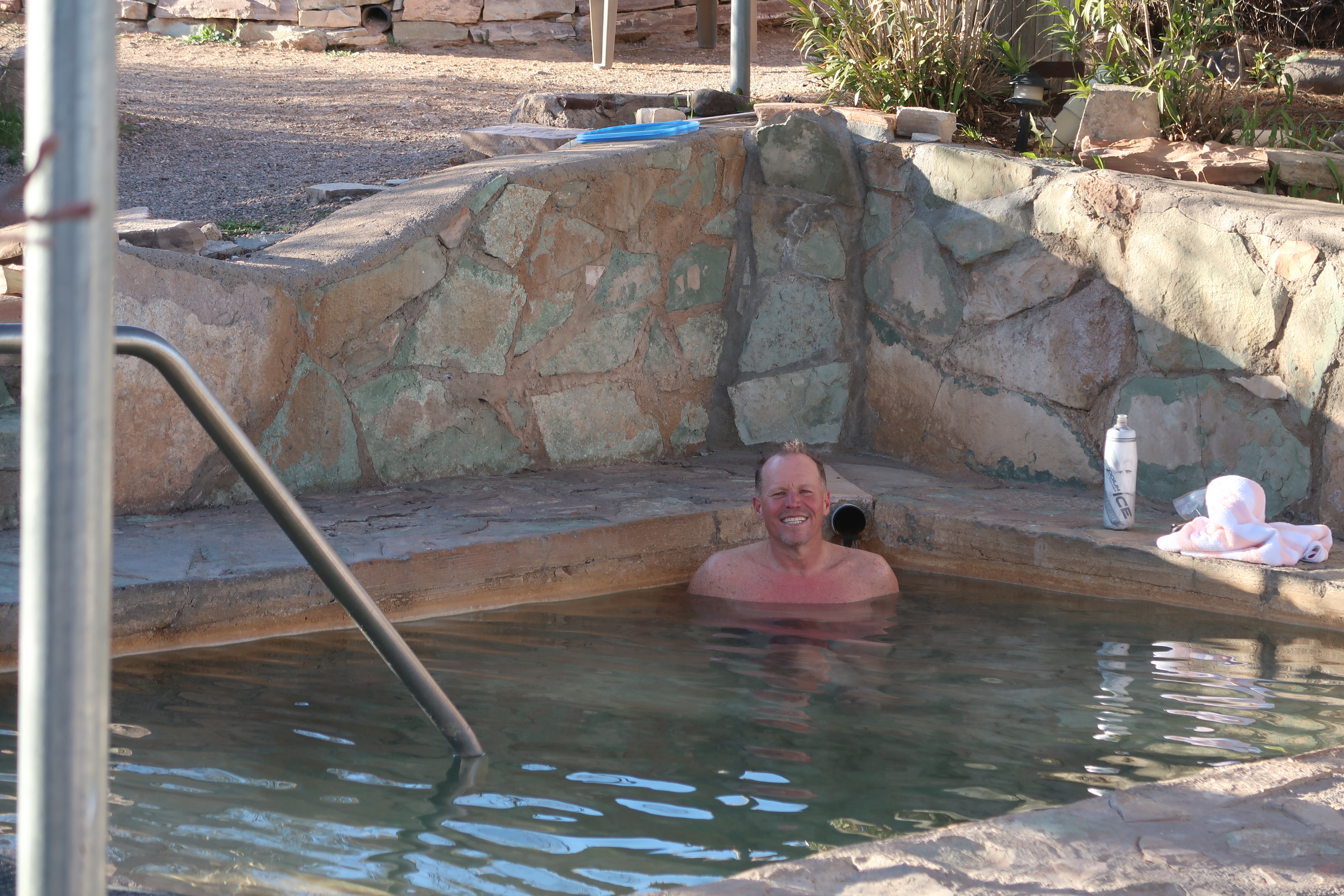
Steve had enough of the cold, so he arranged an Uber to take him from Deming to his train in El Paso. Here he is enjoying the (private) hot springs just 1 mile West of City of Rocks. Janet and I decided to continue on and said goodbye to Steve here.
I was reluctant to ride from Deming to Las Cruces – but Janet found some backroads that were pretty efficient in bridging this gap. Mostly, it was NM549, which was very quiet.
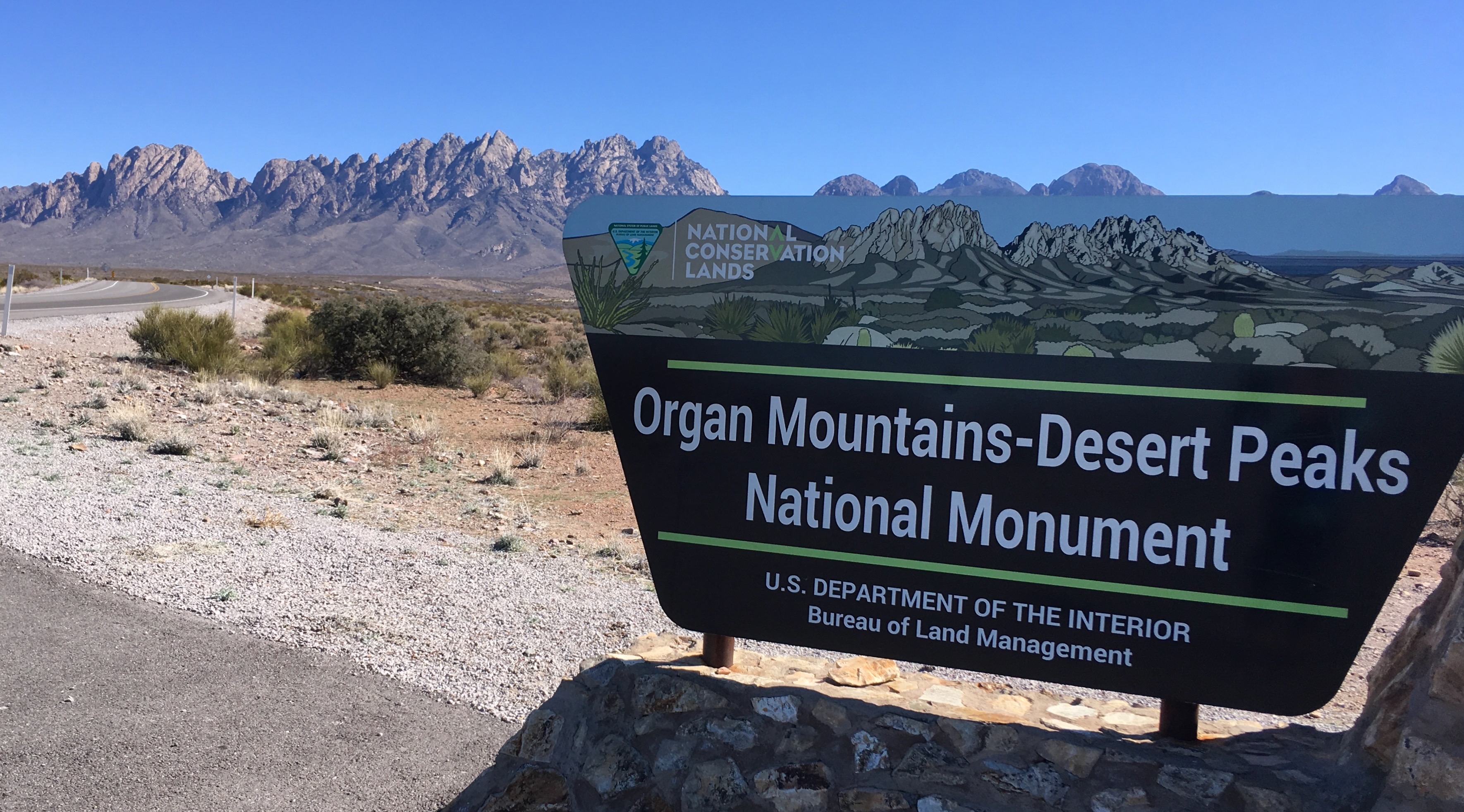
After leaving Las Cruces, we headed up towards the Organ Mountains National Monument. This section was pretty scenic, and a better alternative to HWY70.
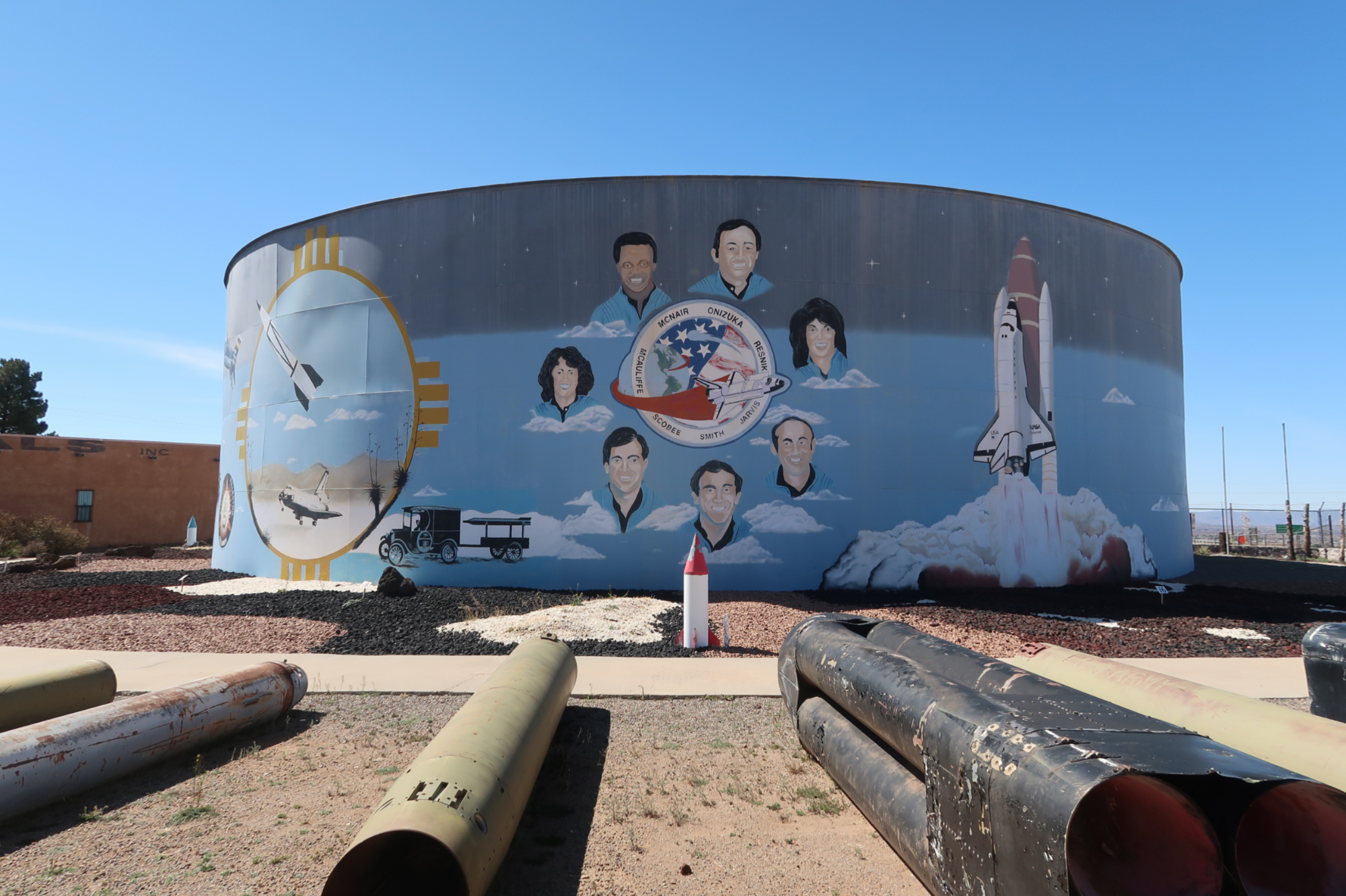
At the location we rejoined HWY 70 in New Mexico, we went to the Space History Museum. These are the astronauts on the Challenger. I remember that day. The principal came crying into the classroom and whispered to the teacher – who also started crying. We spent the day watching the news (in gradeschool) as they replayed the explosion. The teachers were especially sad because Christa McAuliffe was a teacher herself.
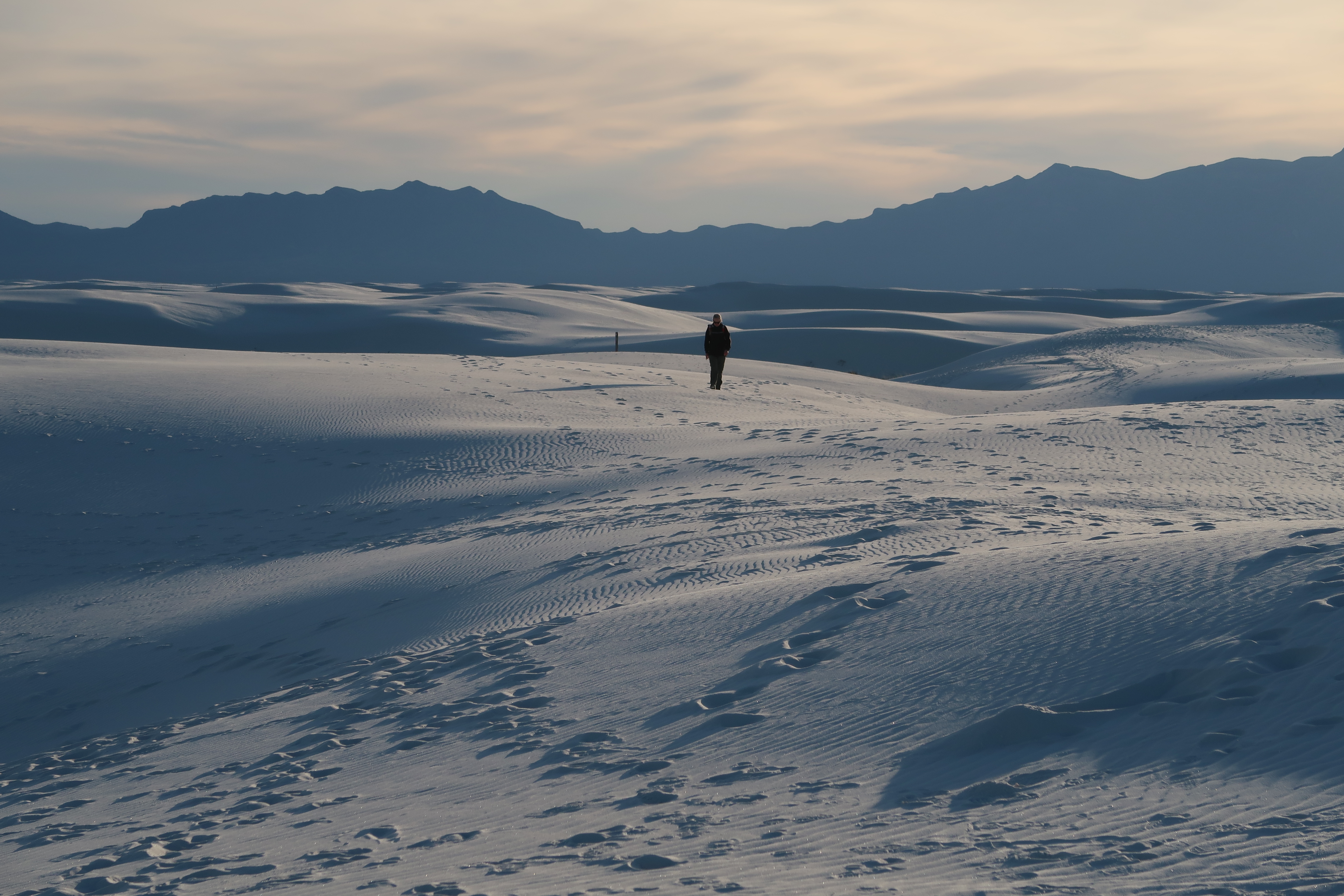
Janet and I really want to camp at White Sands National Park – but it is pretty difficult to be able to camp because if the White Sands Missile Range is doing a missile launch, then camping is prohibited. Moreover, to camp, you need to walk a mile or two in the sand. We called in the morning of our possible stay – and they said that camping was closed for the night. When we arrived to visit the monument, we asked again if camping was possible… and they had just canceled the missile launch enabling us to camp!
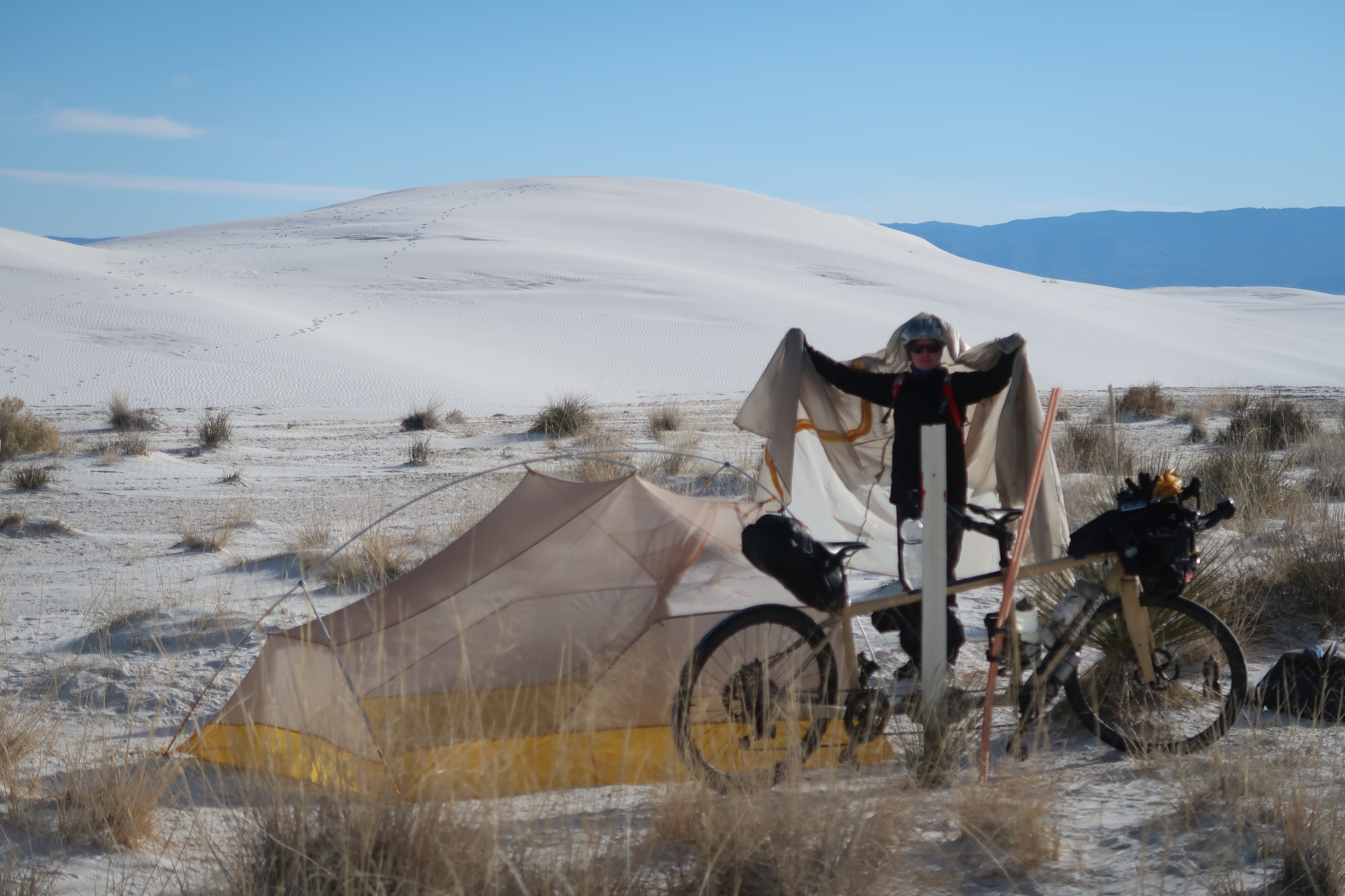
Janet and I spent a cold night in White Sands National Park. Although it looks really dry, there is actually water underneath the sands here – not very deep.
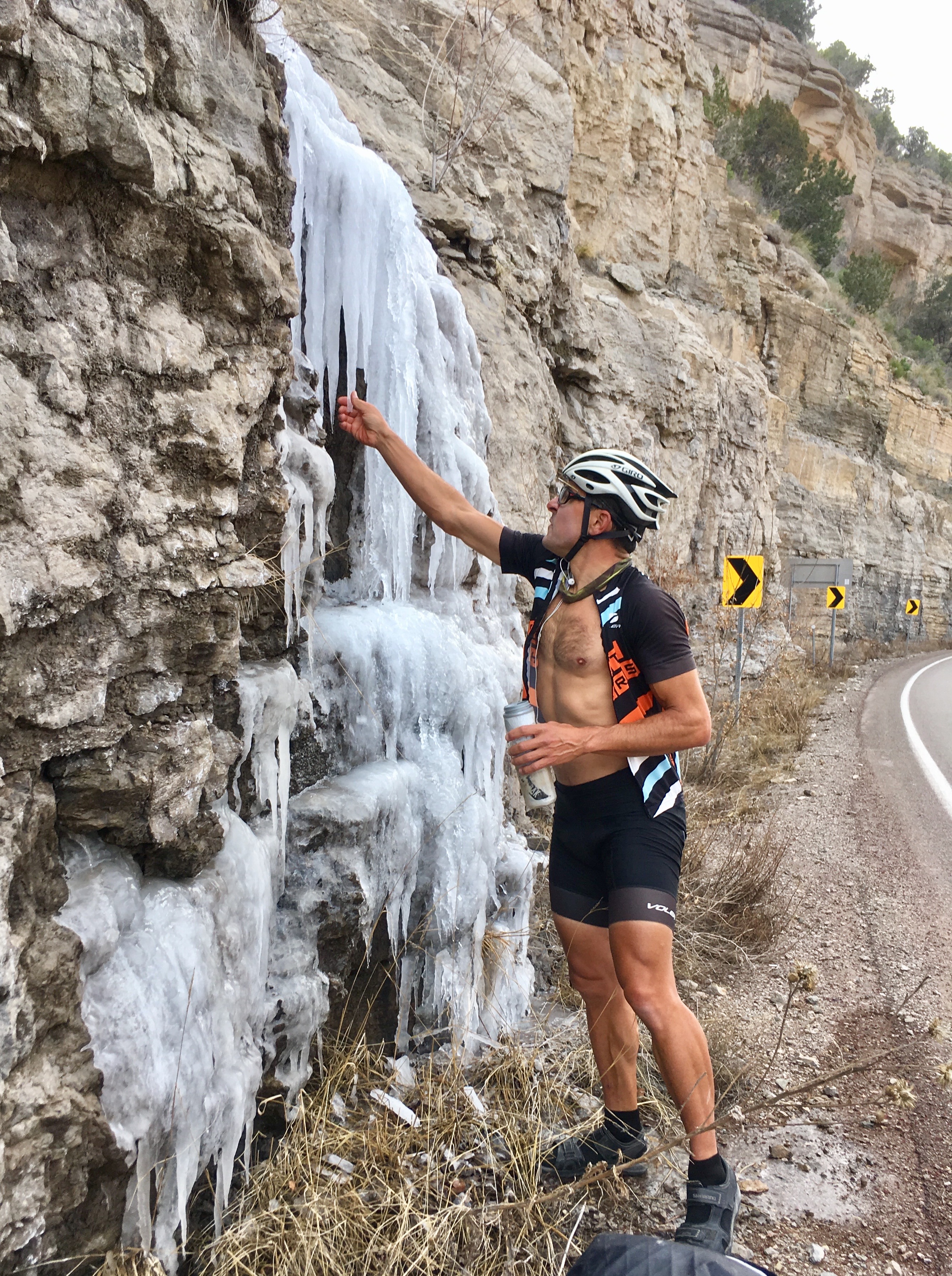
Our route from Alamogordo to White’s City basically had no resupply (except for options near Cloudcroft). Since we were low on water, we procured some ice from the side of the road.
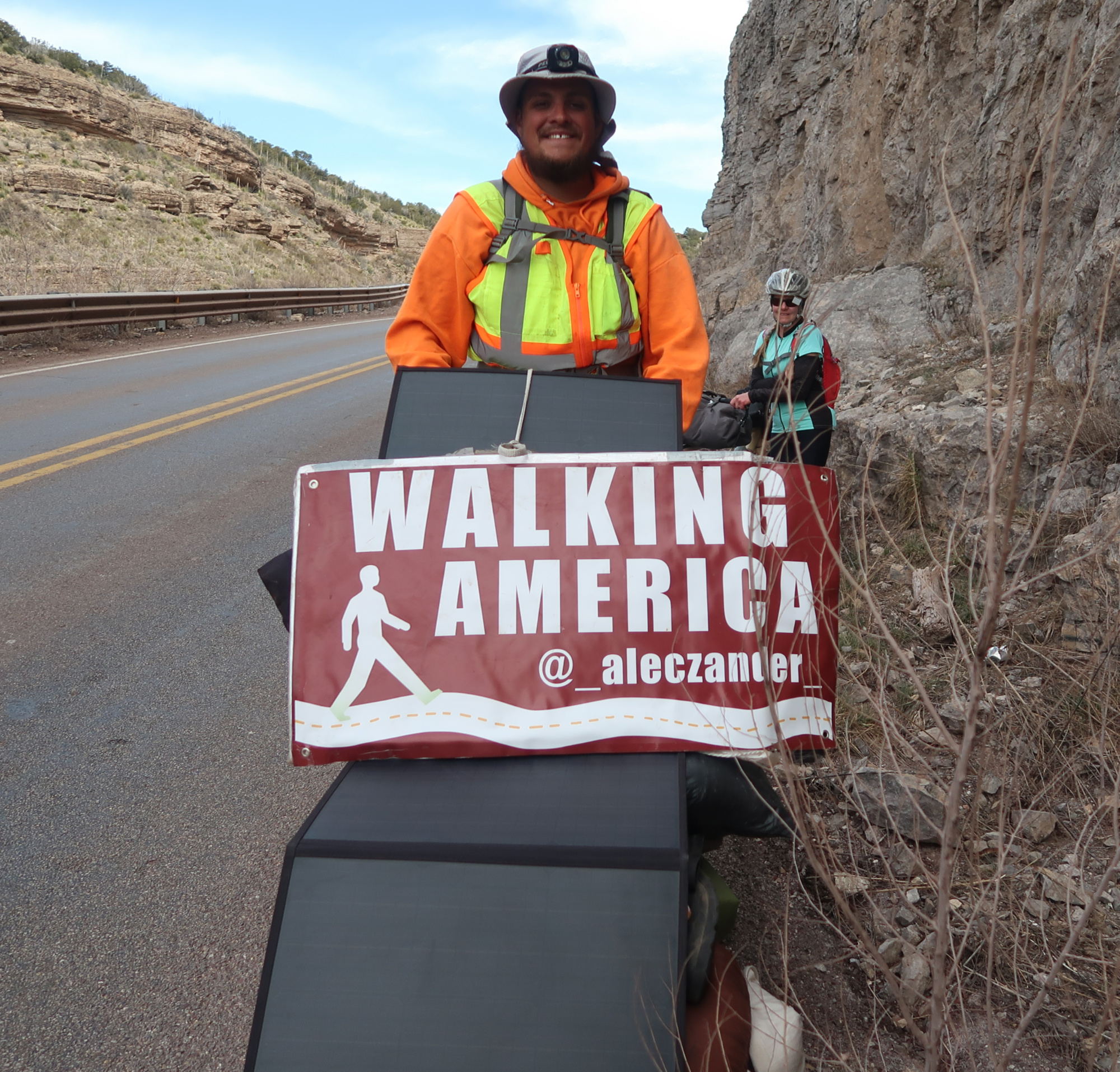
Along the way, we met Alec Who is walking across America.
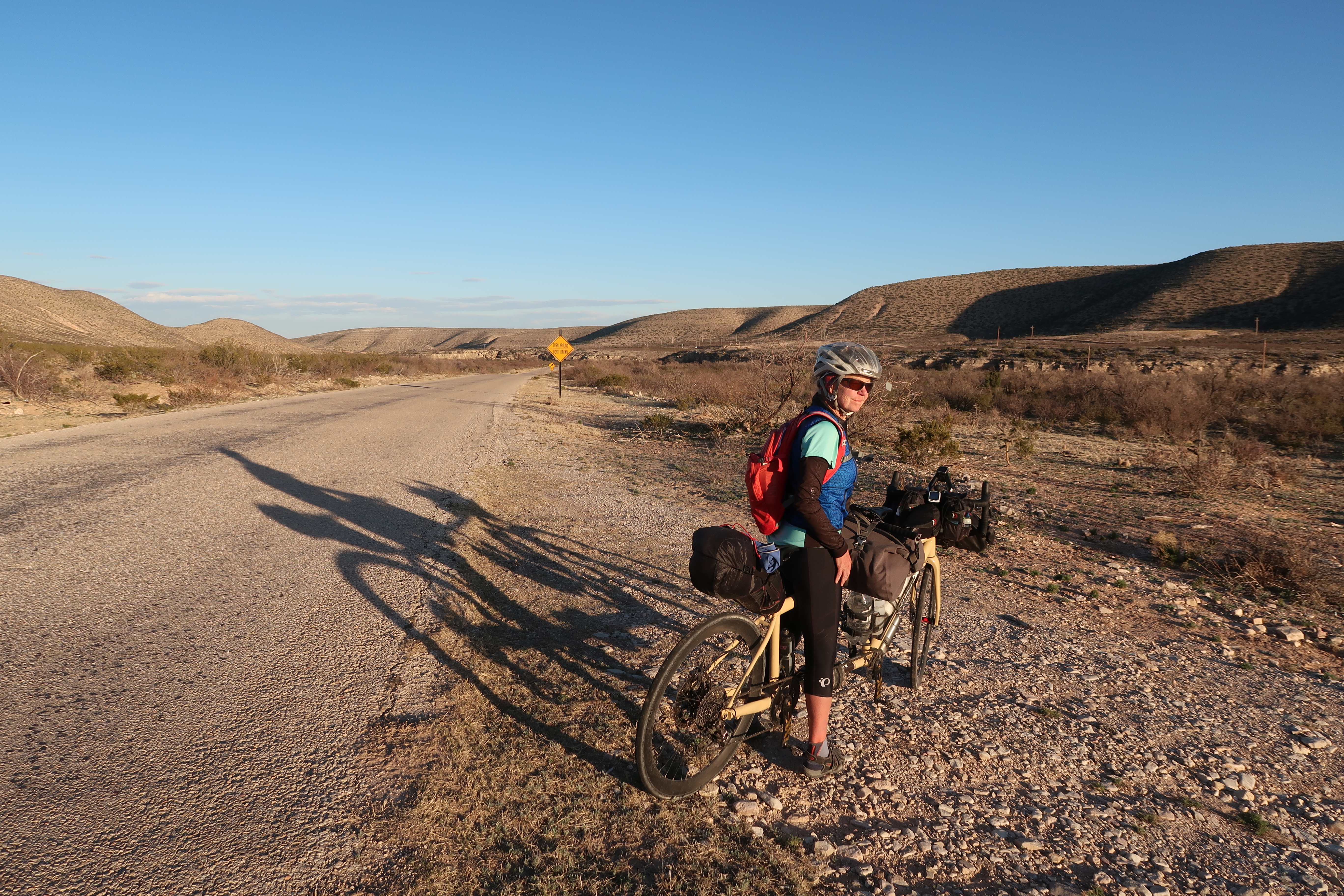
Our route South of Hope, NM was very quiet and mixed terrain. It’s a recommended route, although we battled very strong headwinds here. We ended up camping here; it turns out that this is on public land.
Exploring the backroads to the West of Carlsbad.
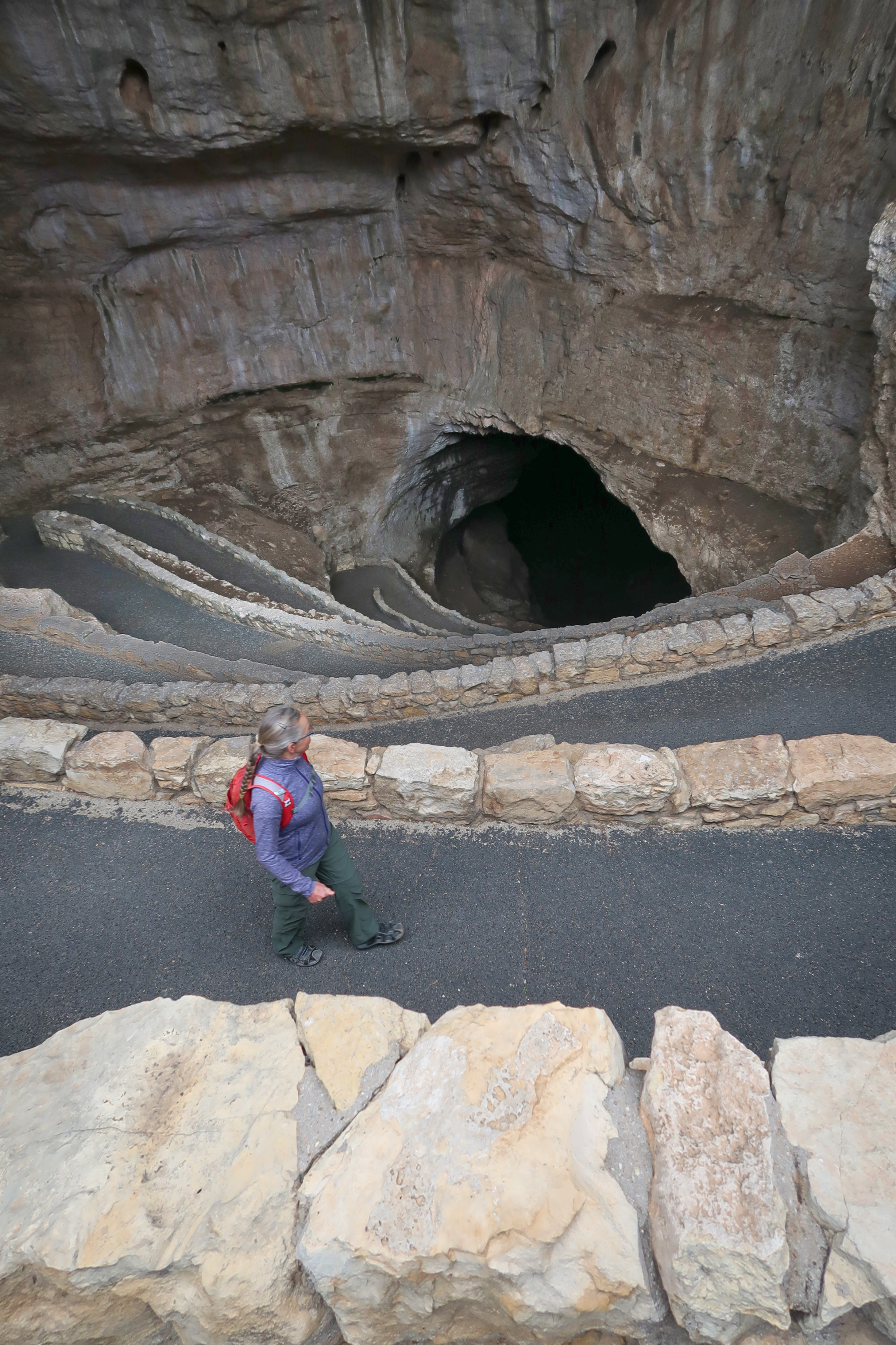
Entering into the Carlsbad Caverns. If you’re fascinated by big caverns, this is a must-visit. We did have a bad experience with our bike: We tried to park it in a safe and more hidden spot behind the visitor center, but the park staff did not like that and dragged our bike (wheels locked) to the middle of the parking lot – leaving it carelessly leaned against a bike rack. The black tire marks could be traced across the sidewalks and parking lot. The tires were ruined by this treatment, so we had to replace them.
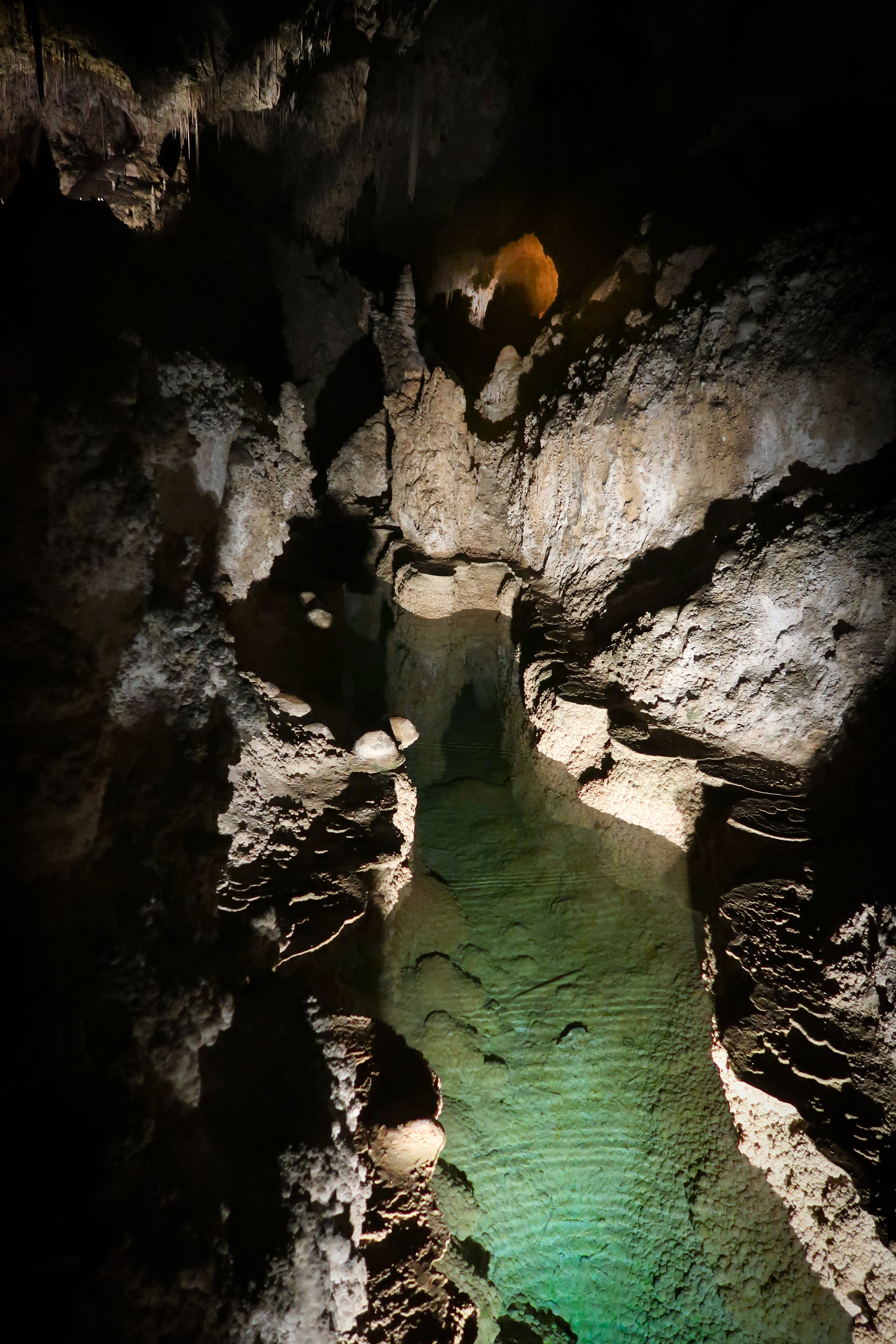
Inside Carlsbad Caverns. You can probably find a lot more pictures online.
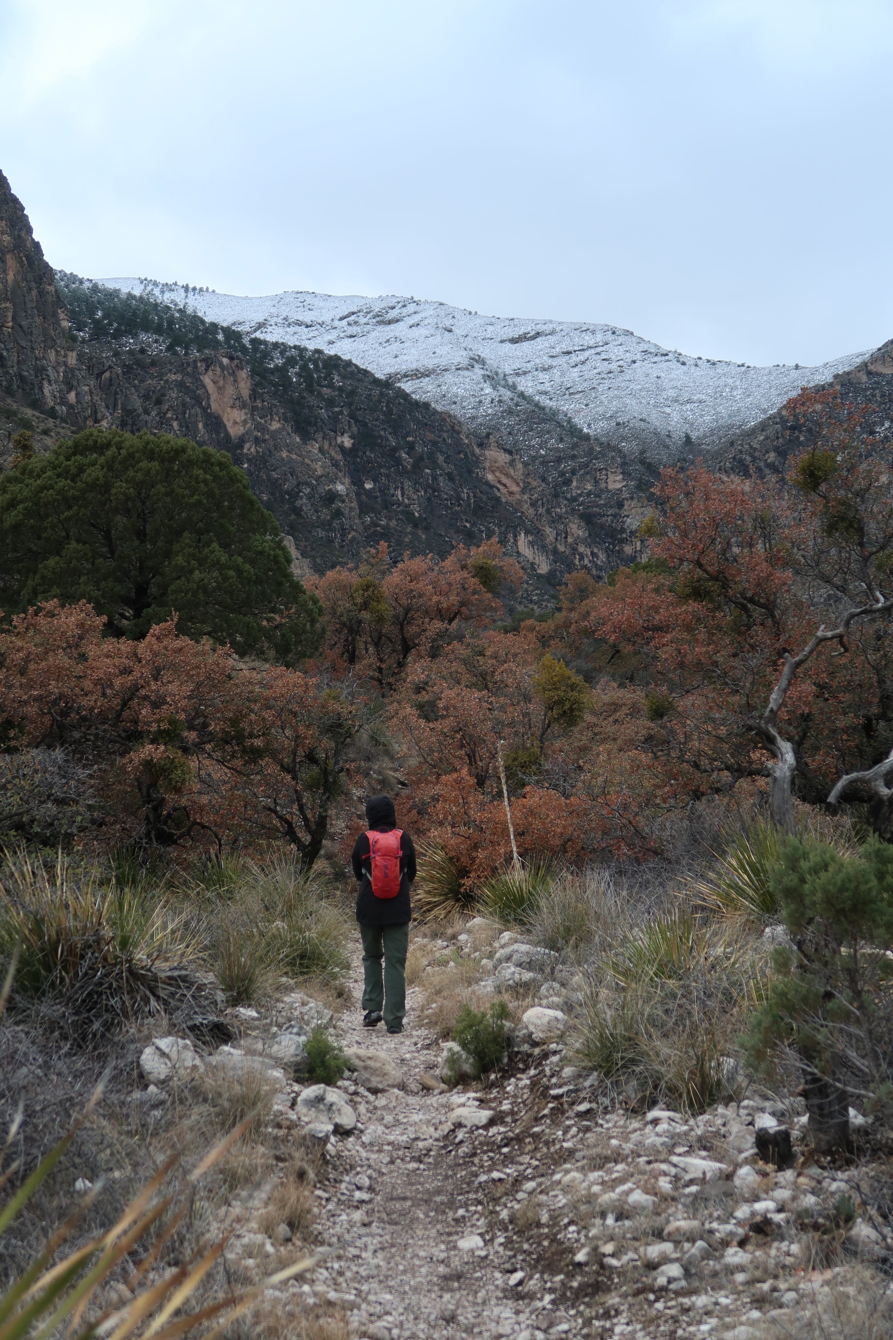
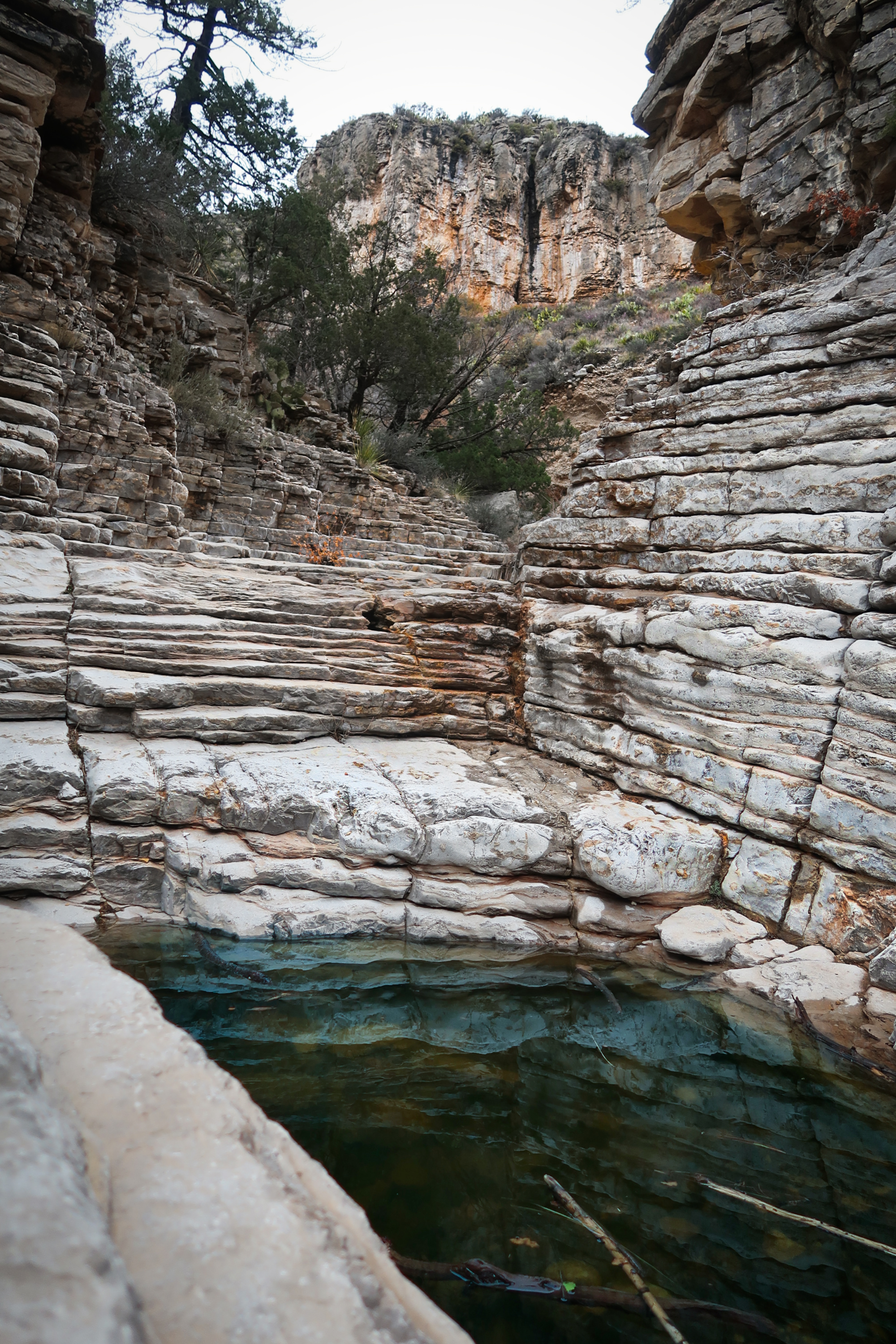
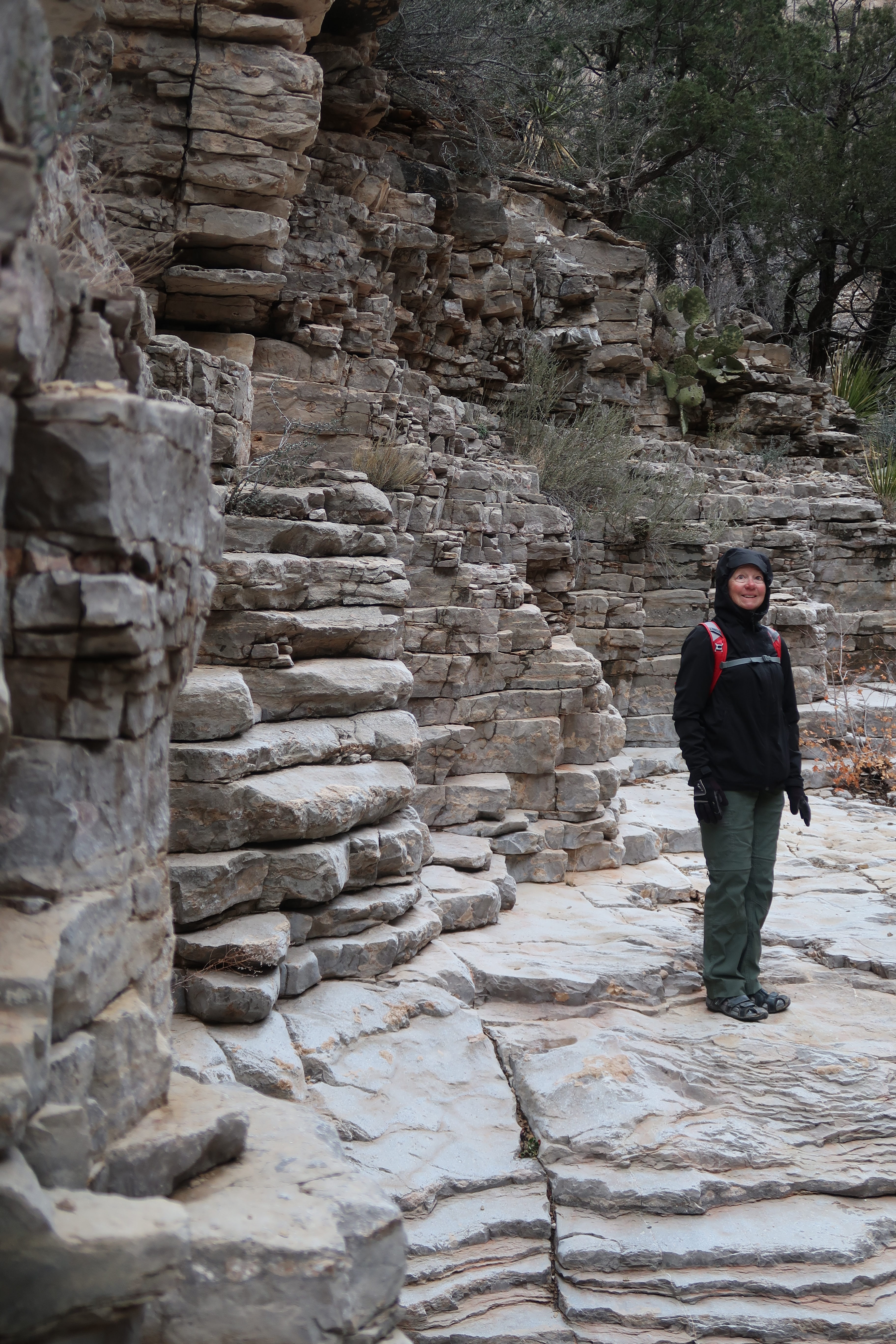
Prior to this trip, I had never heard of Guadalupe Mountain National Park. We put it into our route, and did a hike along Devil’s Hall Trail.
From the hike along Devil’s Hall Trail.
From the hike along Devil’s Hall Trail.
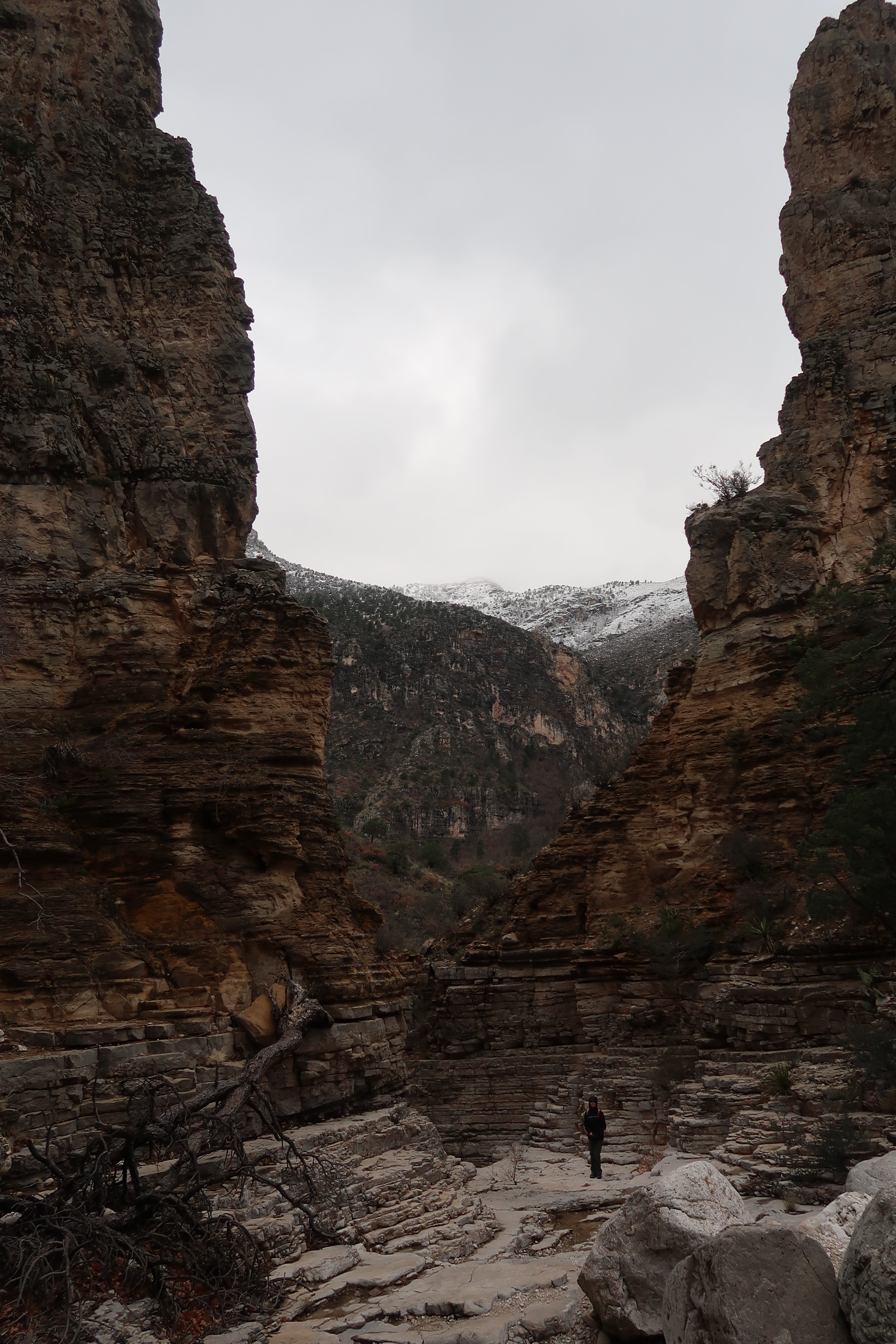
From the hike along Devil’s Hall Trail.
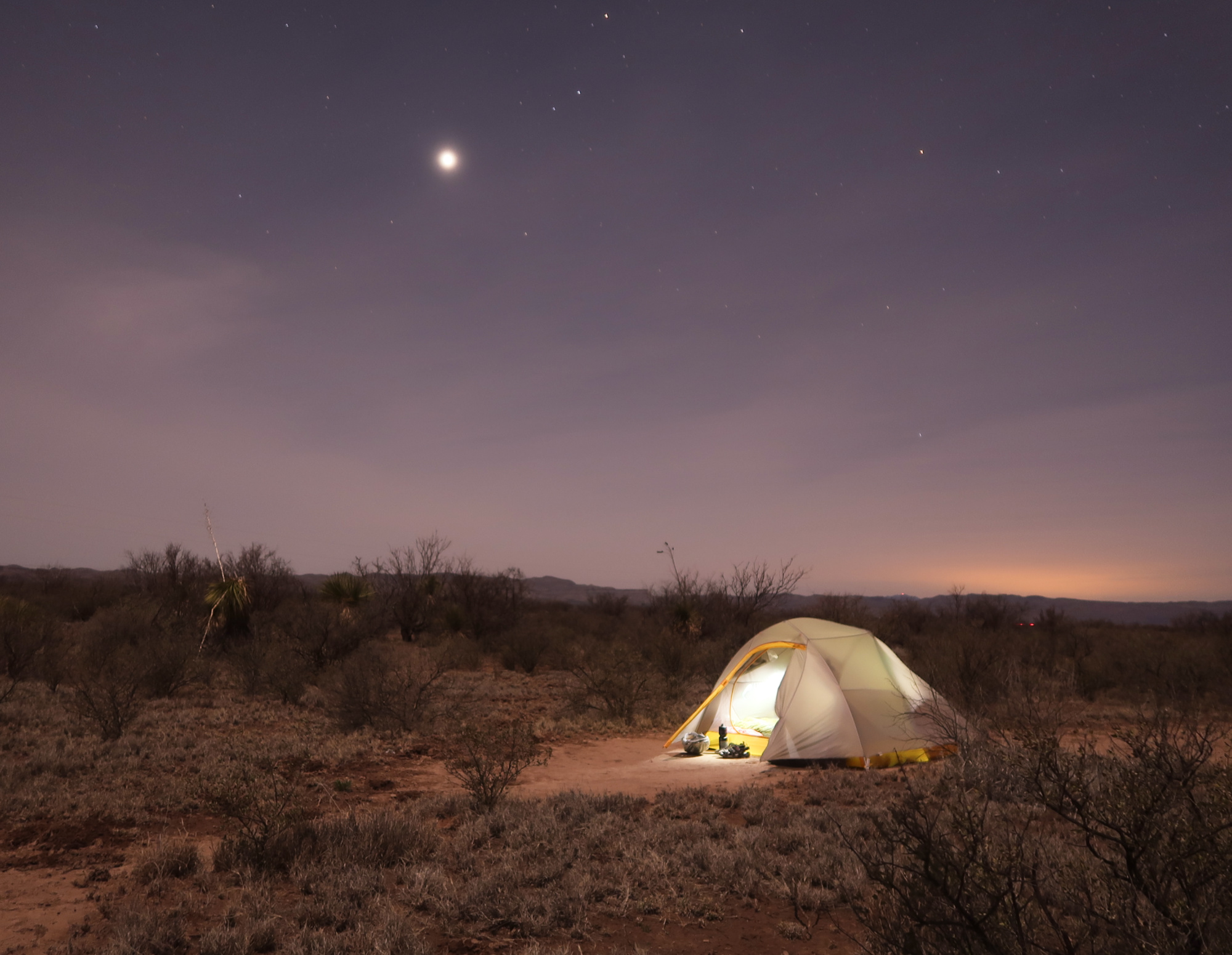
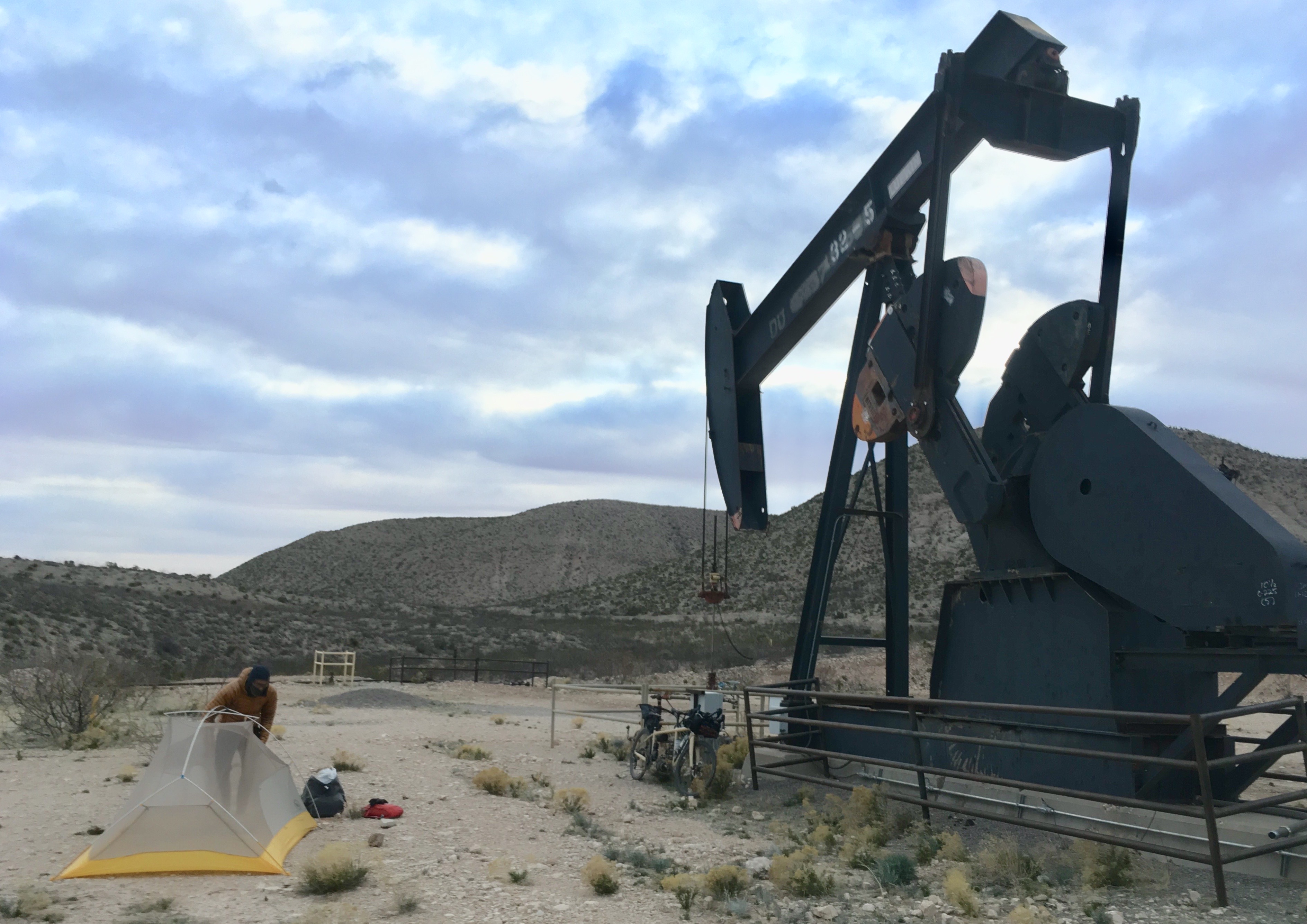
Camping in the desert of Texas – there aren’t too many areas of public land, and when you do camp, you need to be wary of Border Patrol. We were hidden from their view, though. At 4am I woke to the sound of what I thought was bipedal running. Crap, immigrants were running through our camp! Then I heard the snorting. Janet and I both assumed Javelina. But when I looked out, these Javelina were enormous. Turns out it was snorting feral horses. They periodically returned to our camp a few times in the night.
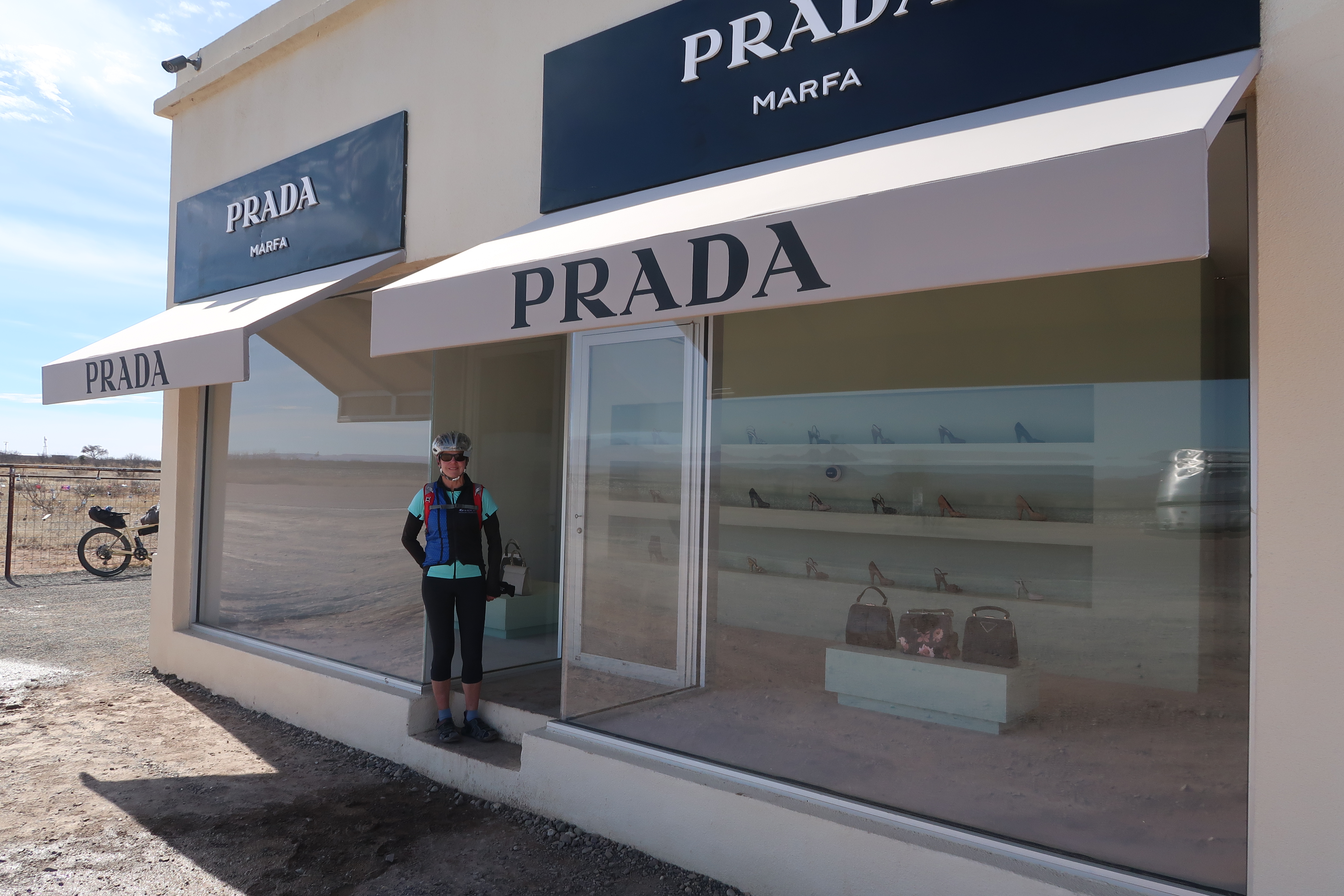
This is an art exhibit. You’re surrounded by nothing for miles – and then this store shows up! But it is never intended for commercial use – the door doesn’t open. The items in the window were donated to this art project by Prada.
This is Madera Canyon Dispersed Camping. We read on the map that camping was allowed here, but once we arrived, there were no signs saying that camping was (or was not) allowed. It was a quiet and peaceful night as the nearby road had almost no traffic.
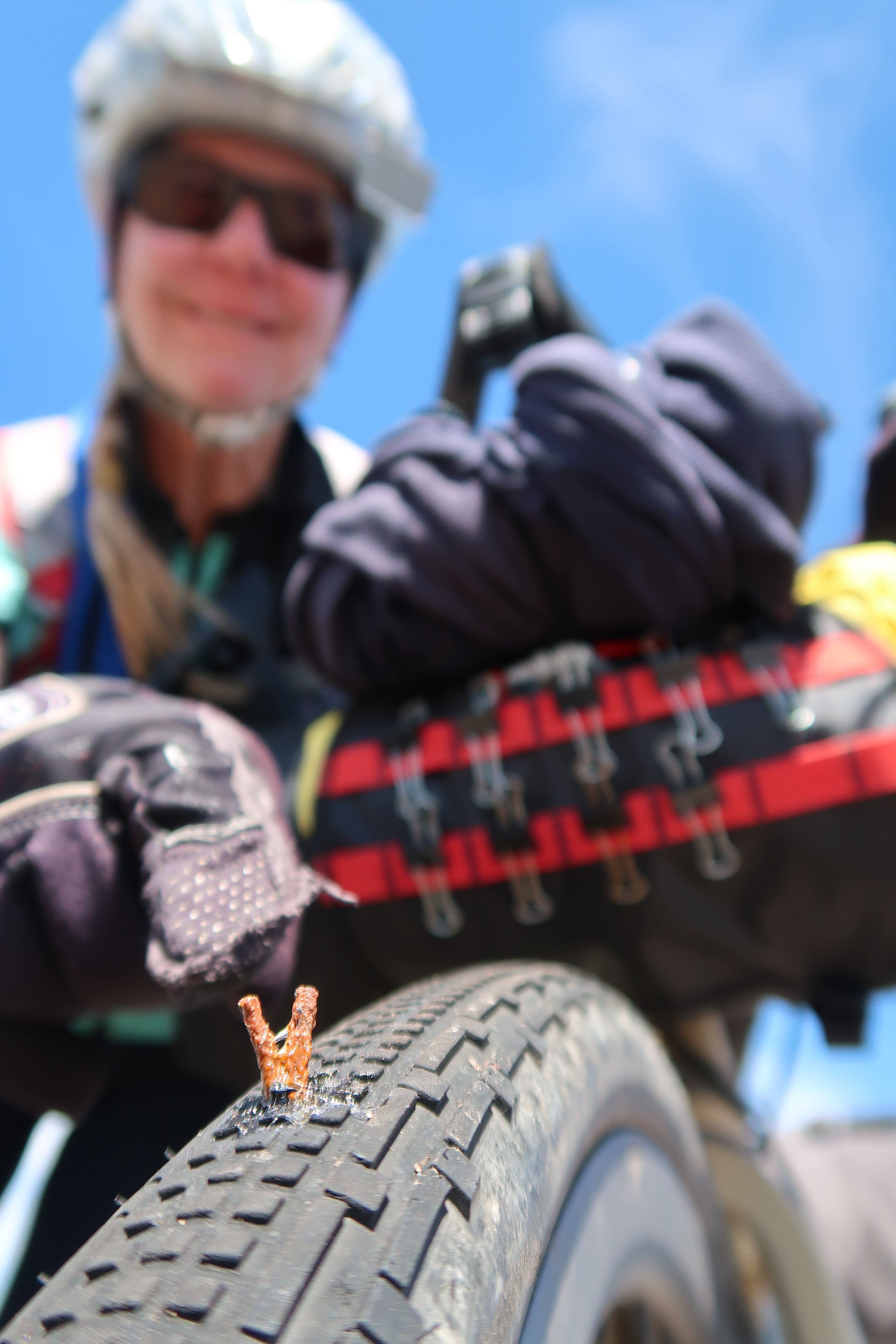
I kept feeling a gentle spray on my legs and thinking, “Did we just pass a sprinkler?” Definitely not out in the desert. Maybe my water bottle is spraying water as it sometimes does when I fill it with carbonated water? It kept happening periodically until i realized it was Stan’s sealant spraying out! No problem; a 5 minute fix with “a slice of bacon” shown here.
In Marfa, we met this guy running a bike shop and he said that before Stan’s no one would bother to ride their Bike anywhere. It was too much trouble to patch tubes. Now, he just squirts some Stans in their tubes and sends them off. He does “hundreds” a day supposedly. He was on the front porch fixing a tire when we arrived, so for $4 he filled our little Stan’s bottle up.
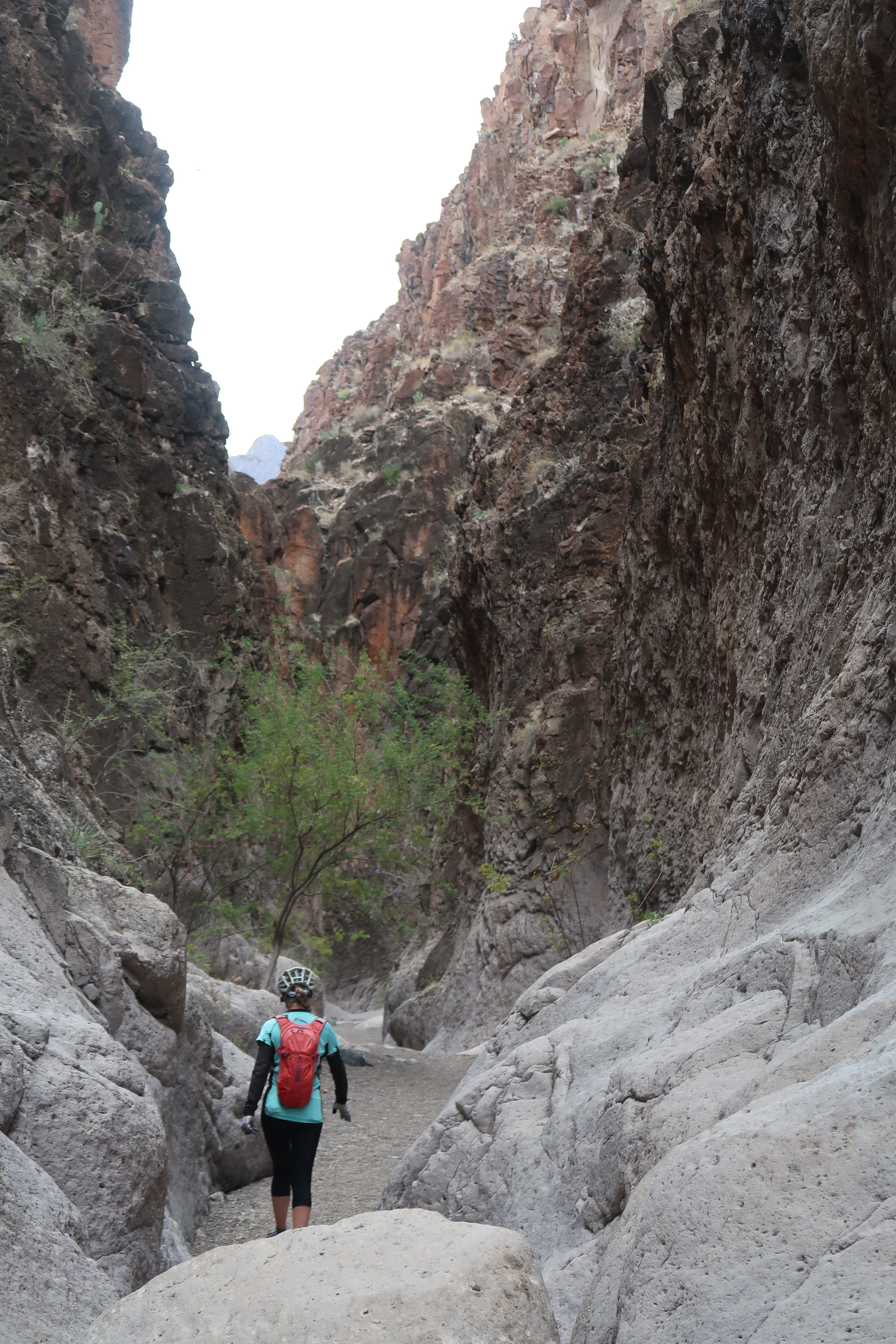
In Big Bend Ranch State Park, Janet and I took a side hike into Closed Canyon.
The riding in Big Bend Ranch State park involves a lot of climbing – short steep climbs that add up over the course of the day.
If you’re on a long distance bike tour, camping in Big Bend National Park, camping is tricky. You need to reserve the back-country campsites… and those go up 180 days in advance! There are a couple first-come-first-serve camps, but they were all full (we arrived during Spring Break). We really wanted to camp in the park, so we showed up at Rattlesnake Mountain Camp 1 (which is for one reservation). Luckily, the people who were camping there were very friendly and let us share the site that they had reserved over half a year ago!
We heard about Santa Elena Canyon, and decided we wanted to visit. The Old Maverick Road got us there, albeit with some washboard.
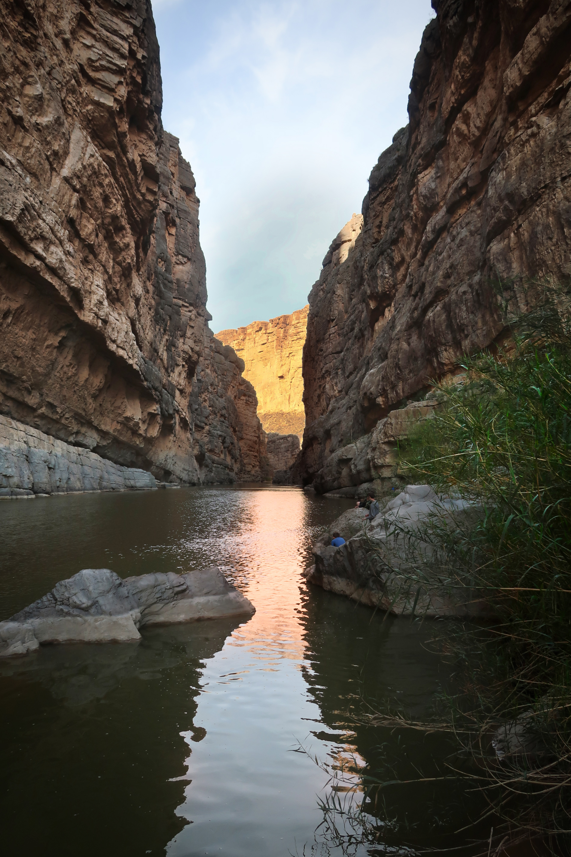
Santa Elena Canyon. Worth the visit, though we found that people were kayaking up the canyon, which looked like a great way to visit the canyon!
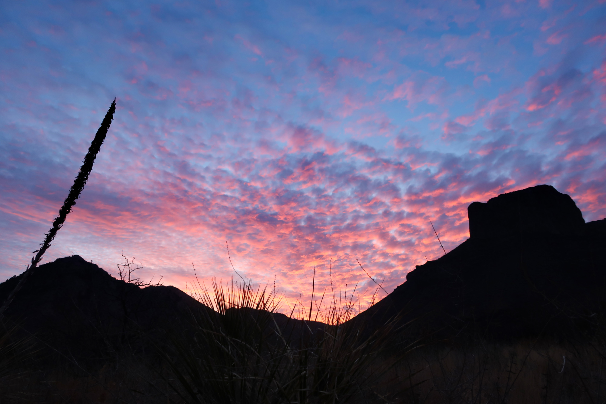
We rode to the Chisos Basin campground which was full. At the least, we wanted to hike the window trail – but we asked about camping, and the hosts contacted a person who seemed to have left. Sure enough, they were driving home & we were able to use their campsite for one night. Here is the view from that camp!
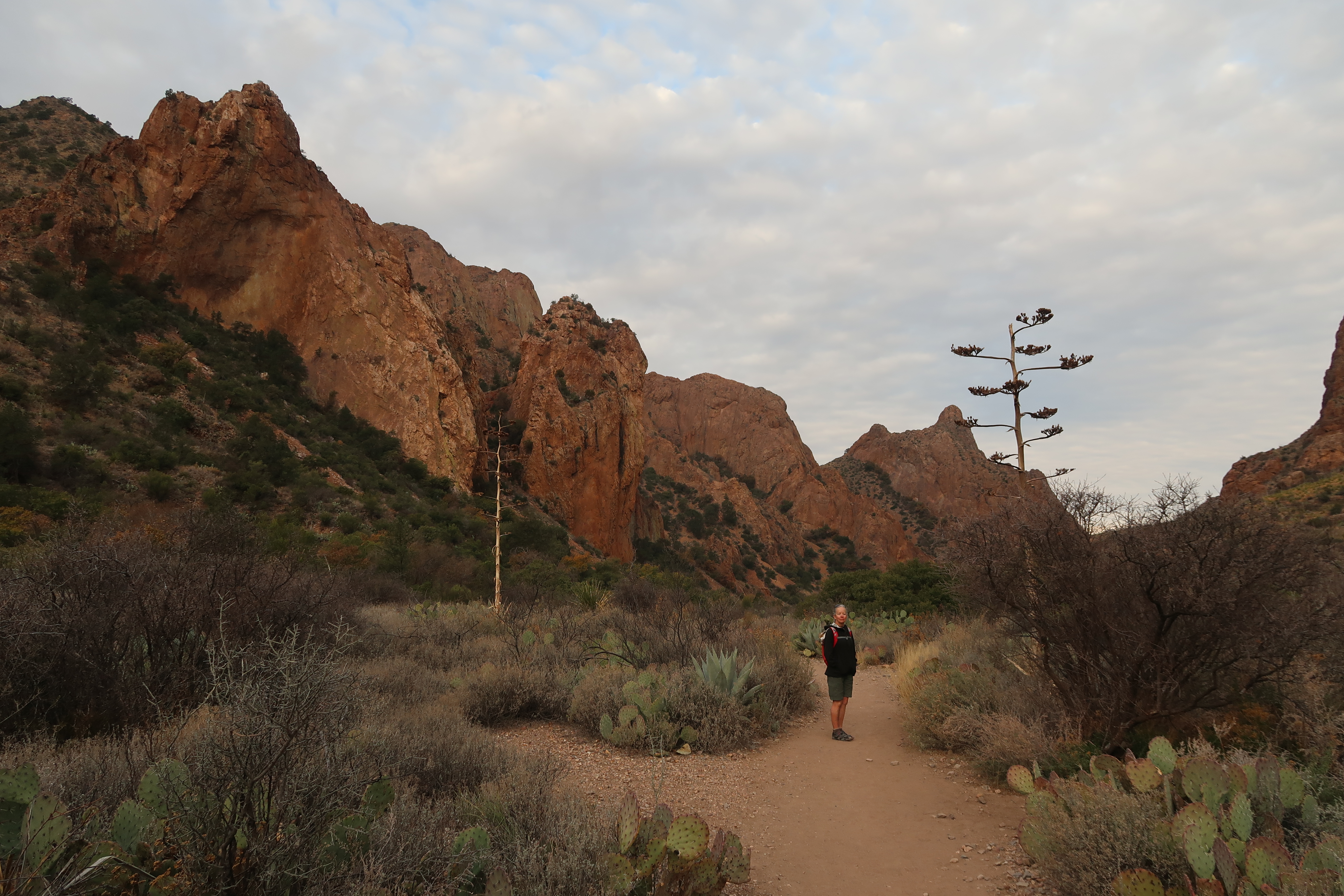
Hiking to the window from the Chisos Basin Camp.
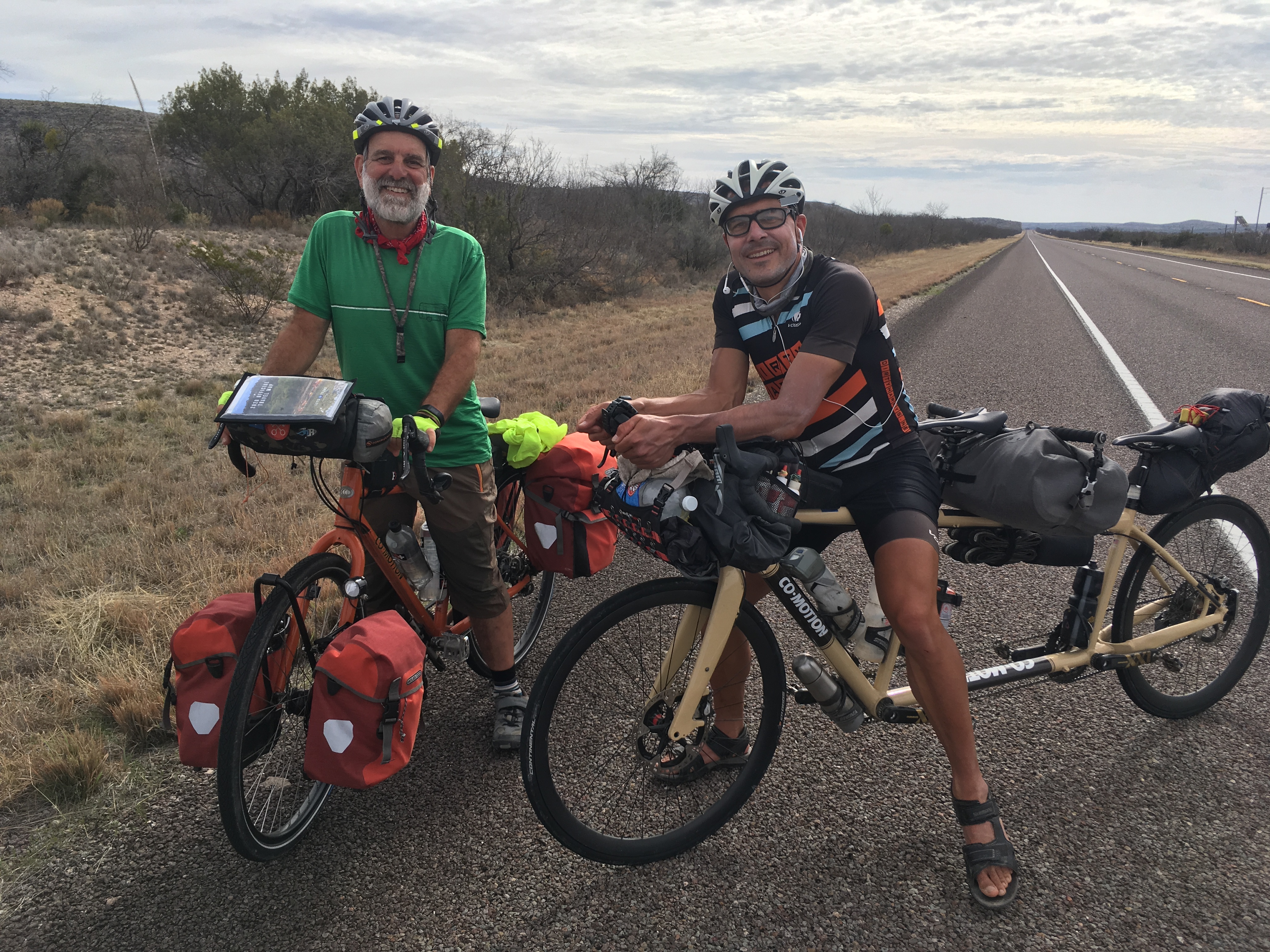
This is John. He has quite a history of bike touring. He thanked a woman who drove her car into him in 2015 because he got a new bike and “she helped me retire early.” It was the one time he wasn’t wearing a helmet – a 4 minute ride to coffee. He rides a Co-motion divide fully outfitted with a belt, generator hub and a Rohloff (which broke; ahem! (These hubs are supposed to be unbreakable, but when ever they break, the person is stuck for weeks in a far away place)). He said the dogs and people were so scary in the South that he took a bus from Alabama to Austin, TX!
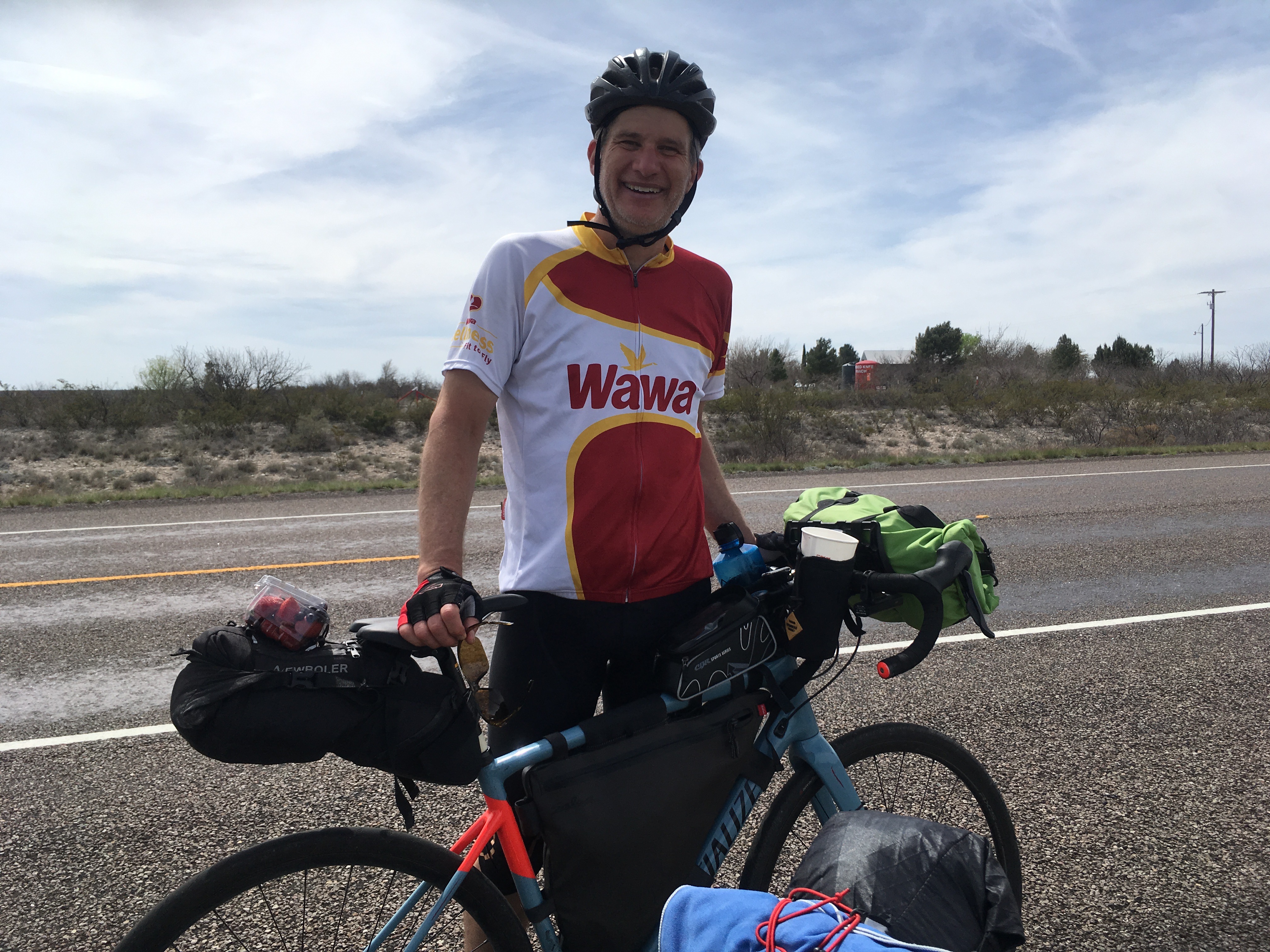
This is Dave from Seattle. He is riding the Southern Tier East to West on a Specialized Diverge. He was pretty low key. For each of our diversions, he asked, “Was it worth it?” As he contemplated leaving the route.. He said of the infamous dogs in the South, “Ah, they were nothing. Just 20 pounds.” He just started his 4th week, and never has had to ride 100 miles, and is only staying in hotels. He seemed pretty happy and relaxed!
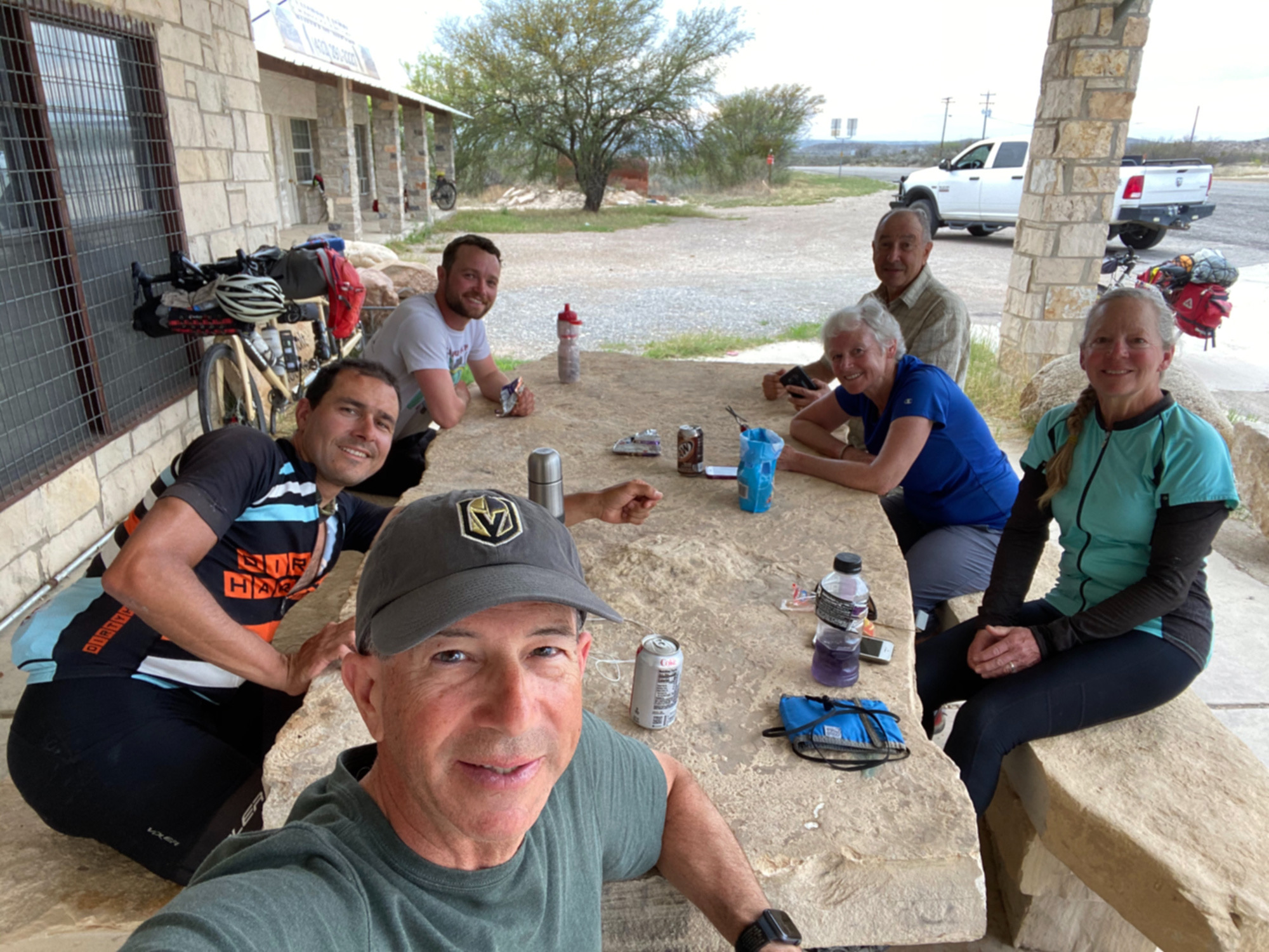
We made some insta-friends (like fast friends, not Instagram ones) when we arrived in Langtry. We had been hearing about these folks as other tourists told us about them. Clockwise: Me, Eric, Joe, Mari (Eric’s mom), Janet, Frank. Frank and Joe are traveling together on Surly Disc Truckers. Mari wrote a book about riding across the USA and will be mailing it to us. She thinks she got Coronavirus (7 weeks ago and she is still coughing!). Eric is her polyglot son who just finished his masters and has a solid job teaching French and Spanish. Frank, Joe, and their friend (who quit in El Paso) all have wives named Terry, so their blog on “crazyguyonabike” is called “Husbands of Terry”. Oh, and Joe married Franks’s sister.
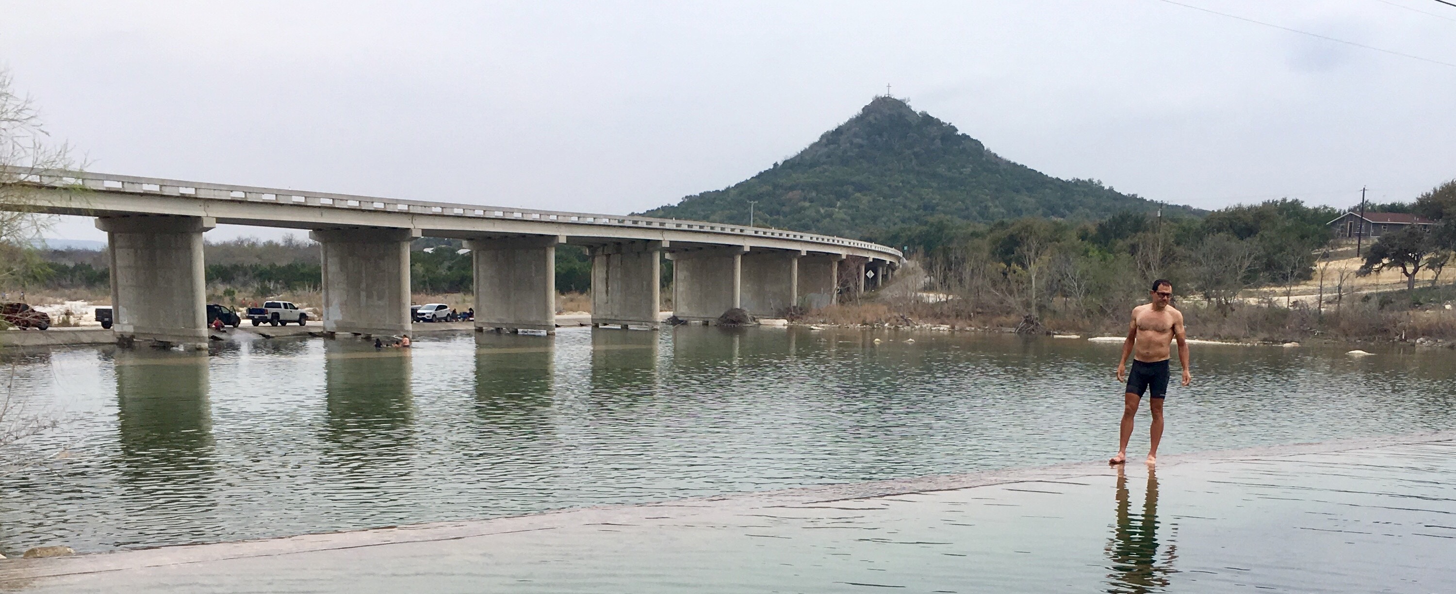
Janet and I had planned to keep riding, but then we saw this excellent swimming hole at Arnold Crossing Dam along the Nueces River. Since it was hot and humid now, we decided to take a swim and camp near here.
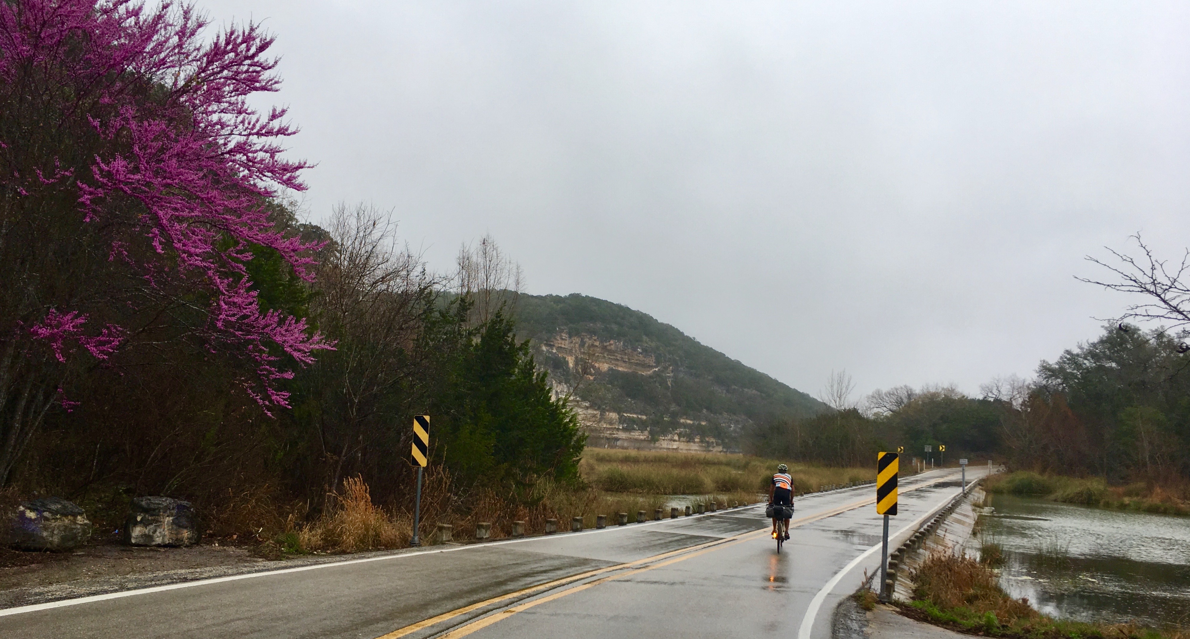
Most of our trip had been dry – being that it was in the desert. That all changed as we headed East, with either drizzle or thunderstorms each day. The forecast was looking pretty bleak. I don’t know if there is ever a good time of year (weather-wise) to visit the South. At this time of year, tornadoes are pretty common, and being that we were camping, I was particularly concerned about that.
Heading out of Kerrville, we thought we were going to be on a dirt road (I checked the satellite images)… but instead it was dirt colored pavement on Zenner-Aherns Road. This turned out to be a one-lane pastoral ride.
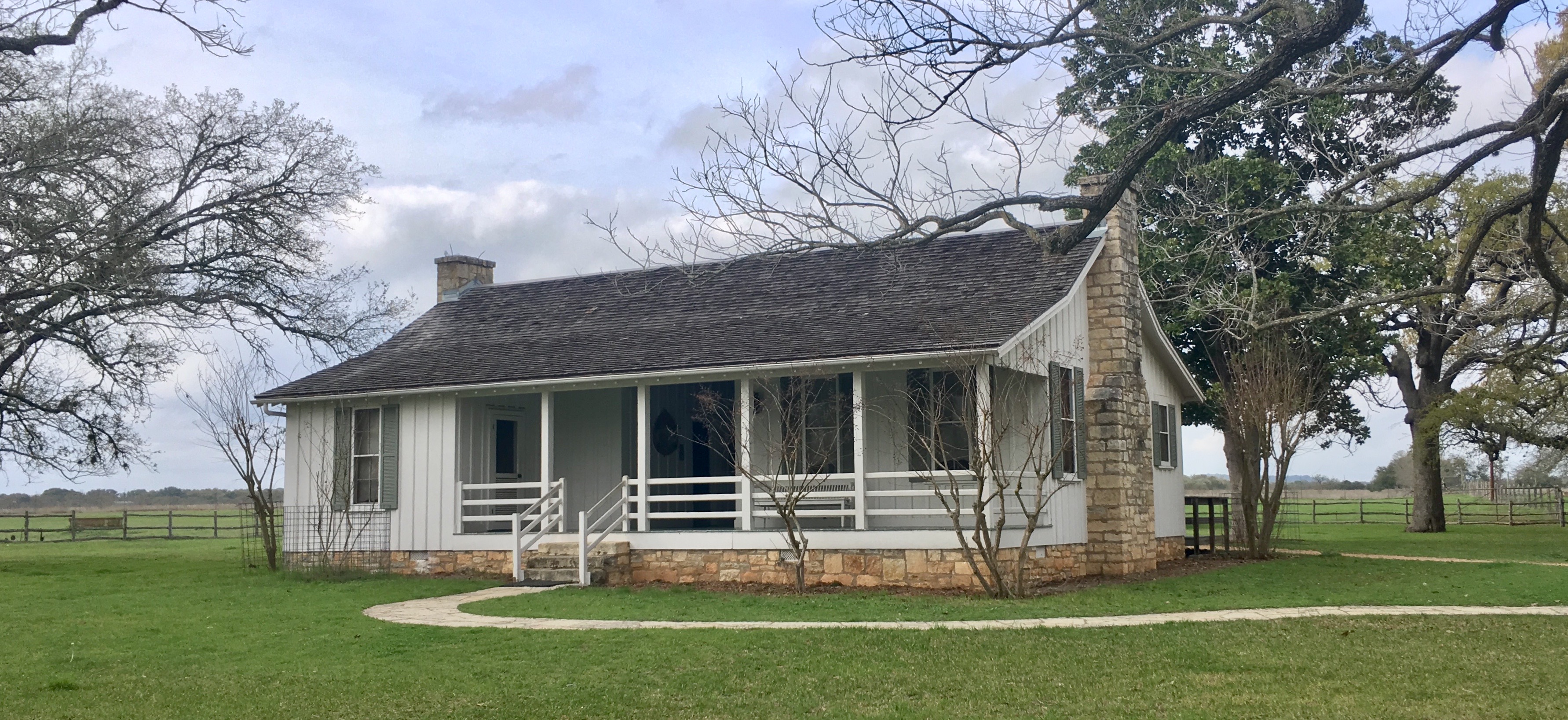
One of the things to do along our planed route is to visit Lyndon B. Johnson National Park. This house is a reconstruction of his birthplace.
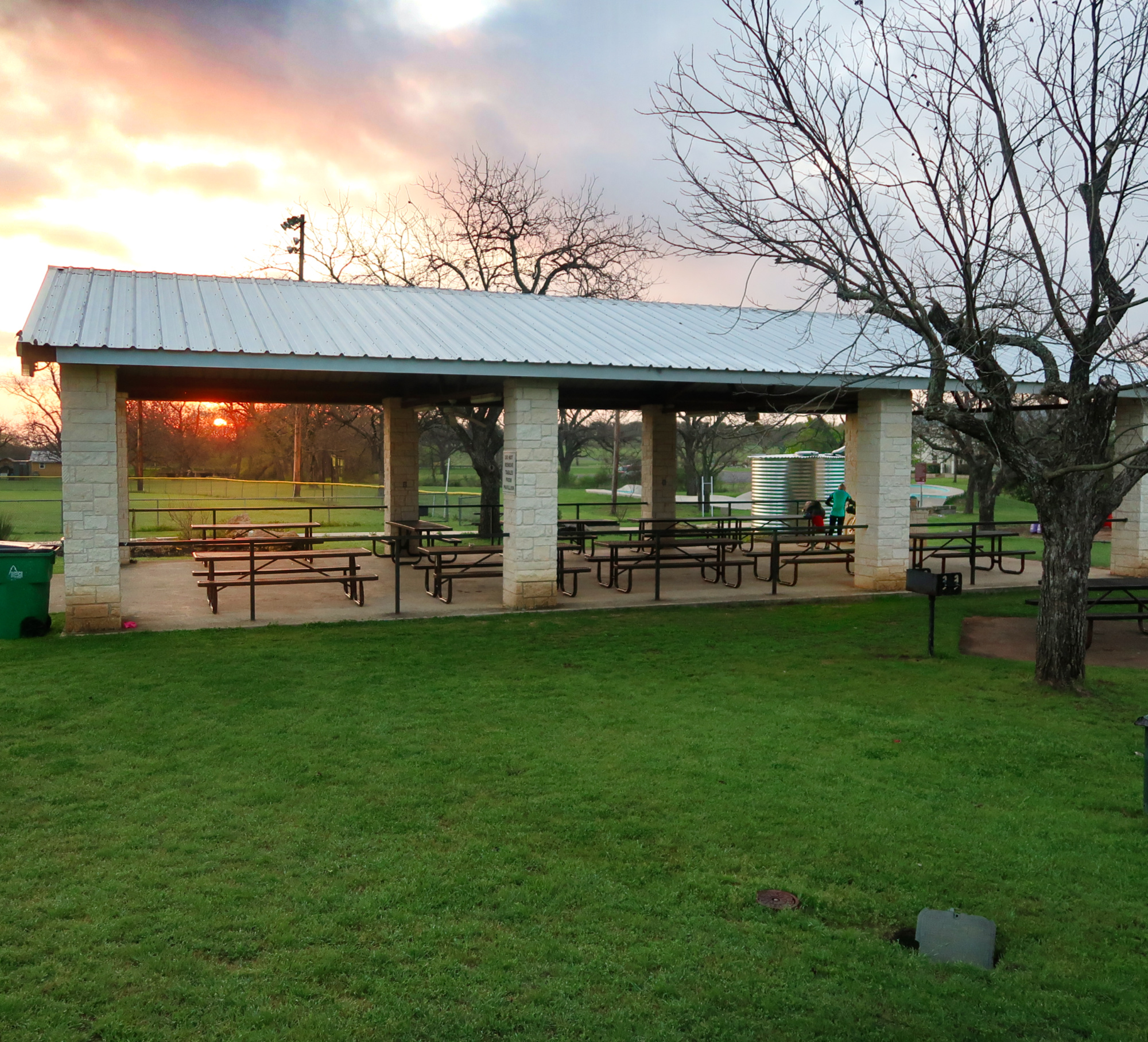
As we moved East, these types of covered picnic areas were obviously more common. This provided a good place to eat breakfast in the event of rain. We also considered them for possible campsites if the need would arise.
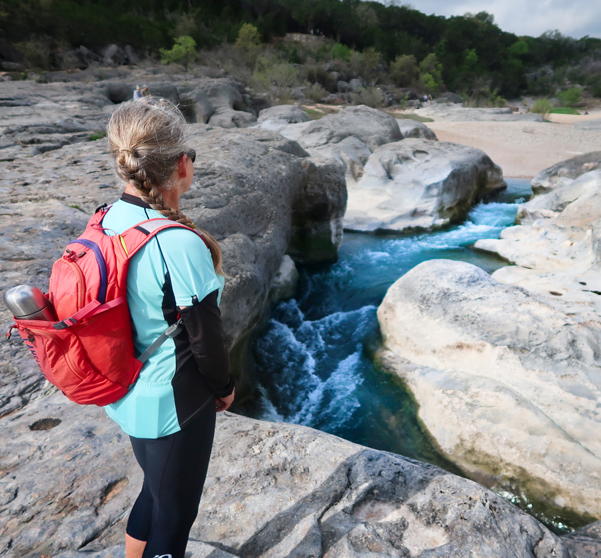
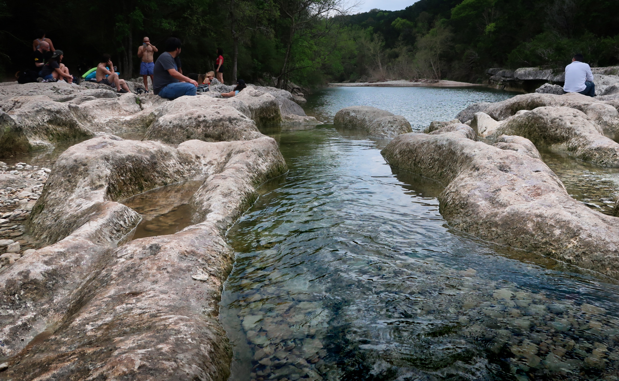
We took a side trip to do the hike to visit Pedernales Falls. Nearby, there is also another place called “Hamilton Pool” which I really wanted to see (the photos are fantastic)… but you need to make reservations half a year in advance. Plus, you need to pay a reservation fee as well as a park entry fee – so we decided not to do it.
We went to the Barton Creek Greenbelt (which is not recommended unless you have a mountain bike). We often had to push the bike along this trail. The trail was very crowded because this was the beginning of the coronavirus shutdowns in the USA. It seemed as if people were reacting to the social distancing mantra by getting outside – but so many people were getting outside that they weren’t very physically distant!
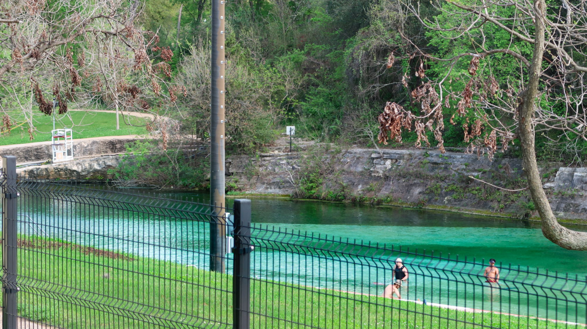
Janet and I had intentions of visiting the Barton Springs Pool – which is a clear body of water made by damming up the creek. It was closed for cleaning (probably due to coronavirus) as well.
As we continued into Austin, TX, we were finding more and more businesses were closed. Many stores we visited had many empty shelves – which included the food that we were looking for. Gas stations still were fully stocked – and we knew we could live on gas station food if necessary. It was becoming increasingly clear that future travel was going to be difficult and not socially accepted (we could be carriers). The last 2 hotels we stayed in had canceled the included breakfast due to the coronavirus. With a gloomy weather report combined with a lot of pressure from various officials to “stay at home”, we started to seriously consider aborting the trip.
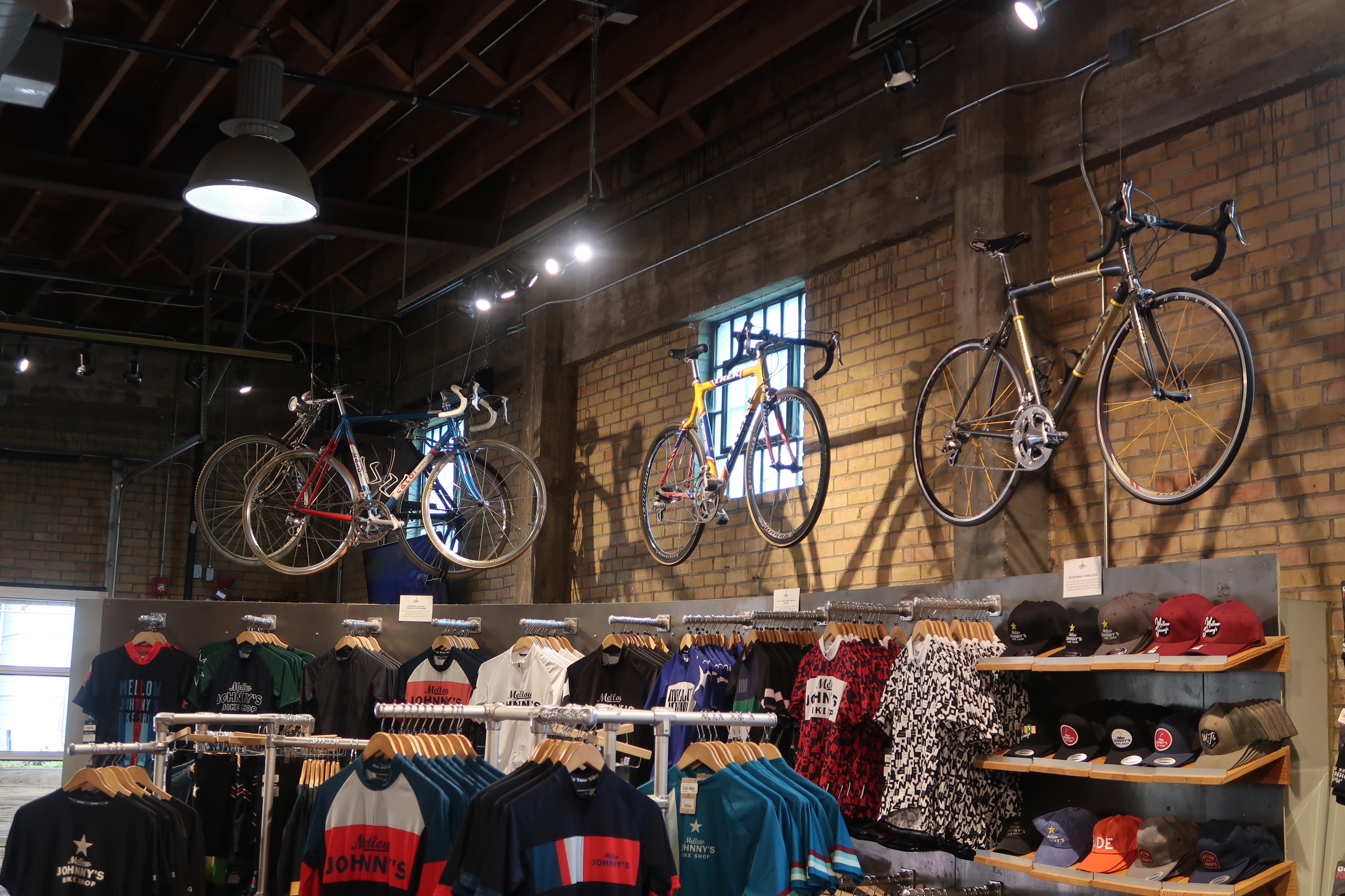
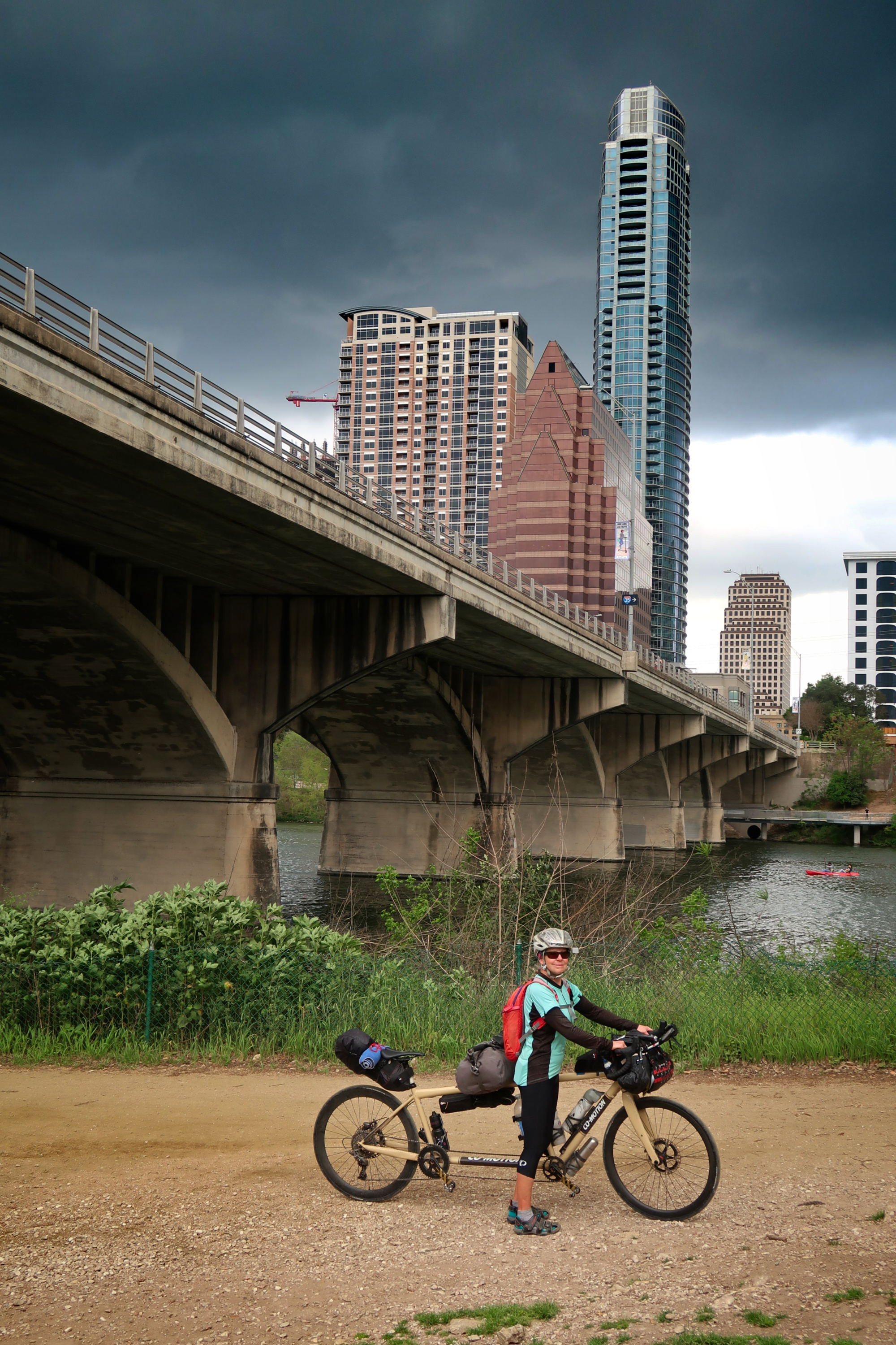
Late in the day on March 18, 2020, we finally decided to abort our bike ride across the country. Writing this on March 25th, with the help of hindsight, we know it was the right thing to do. We took a visit to Mellow Johnny’s bike shop – famous for being Lance Armstron’s shop. At this point in the day, we were still considering continuing, so I was shopping for some fenders and a new frame bag (neither of which they had).


Amazing!! This detailed route with photos leaves many(me) creating their own FOMO favorites. I have so many. Love the talk with the motor cycle dude, your pressure tank bottle is a favorite, the scenes, Megan?? where is she? Thank you SOooo Much for this post and the knowledge for all those that even attempt to follow.
I enjoyed your blog post and photos very much!
I’m also very happy you’re home and safe.