Junipero Serra Peak
Junipero Serra Peak is a peak of many names. It has also been named just “Serra Peak” (what the register says), or Santa Lucia Peak.. or even Pimkolam Summit (this was the Native American name). The peak is nearly 6,000′ in elevation, making it the highest peak in the Ventana (and in Monterey County). That’s notable to me because I think it might be the closest peak of this stature to the San Luis Obispo area (still looking into that).

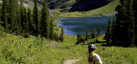
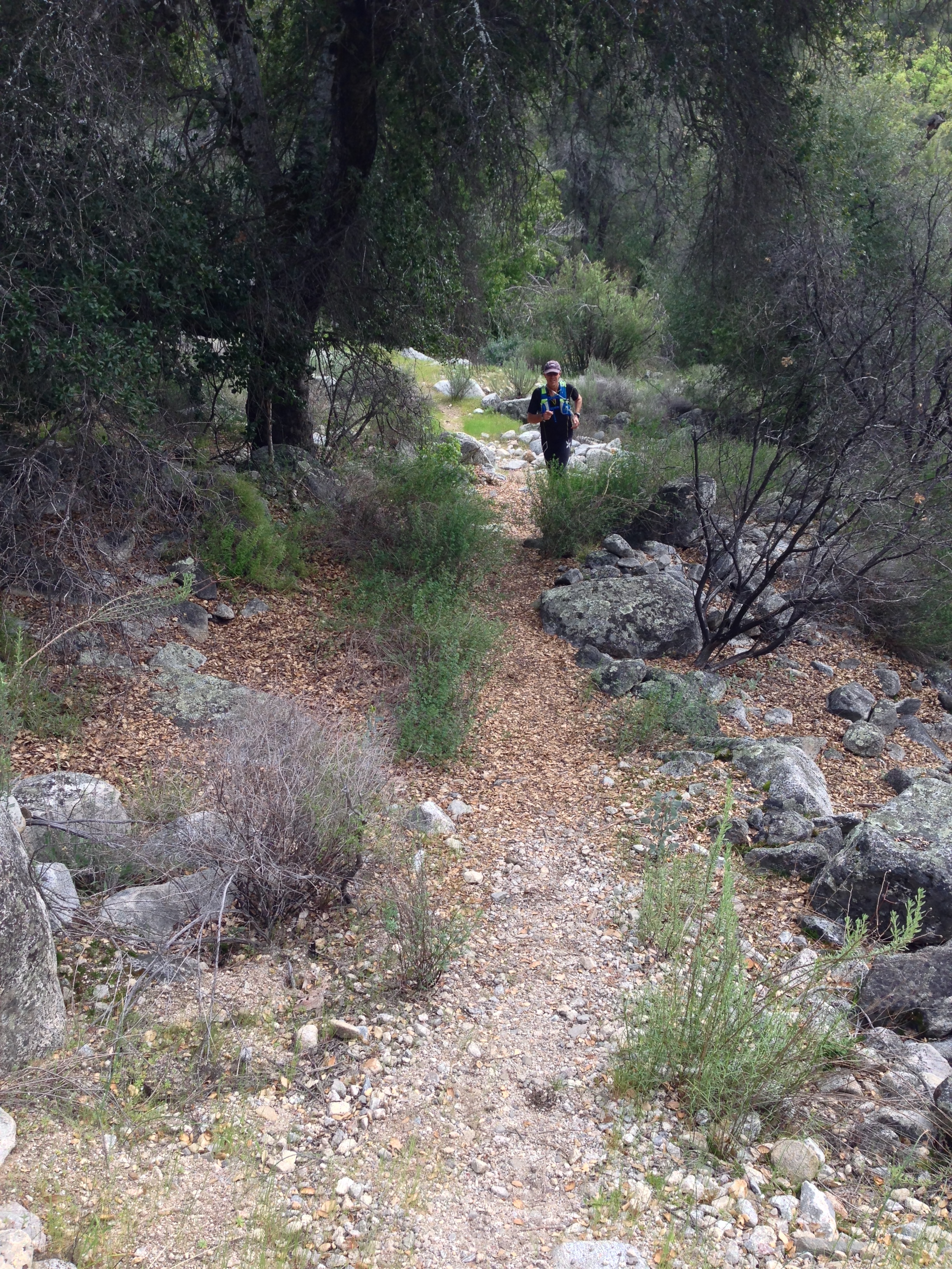
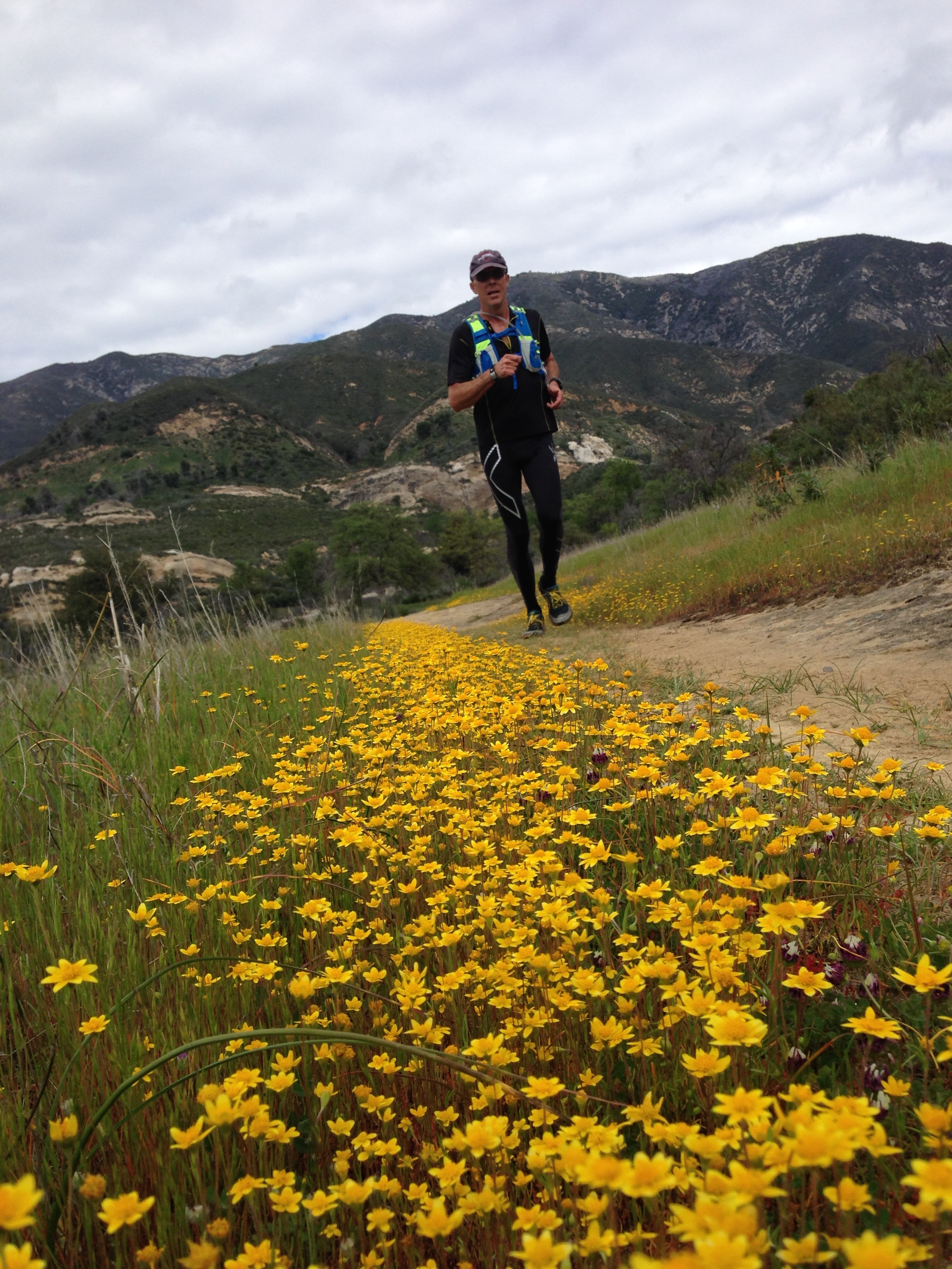
David on the well worn Santa Lucia Trail just after leaving Santa Lucia Memorial Campground.
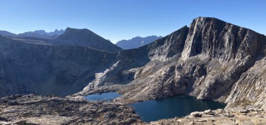
From the saddle near where the Santa Lucia Trail meets the Junipero Serra Summit Trail. Looking South West. You cannot see Cone peak; it’s obscured by the clouds in this picture.
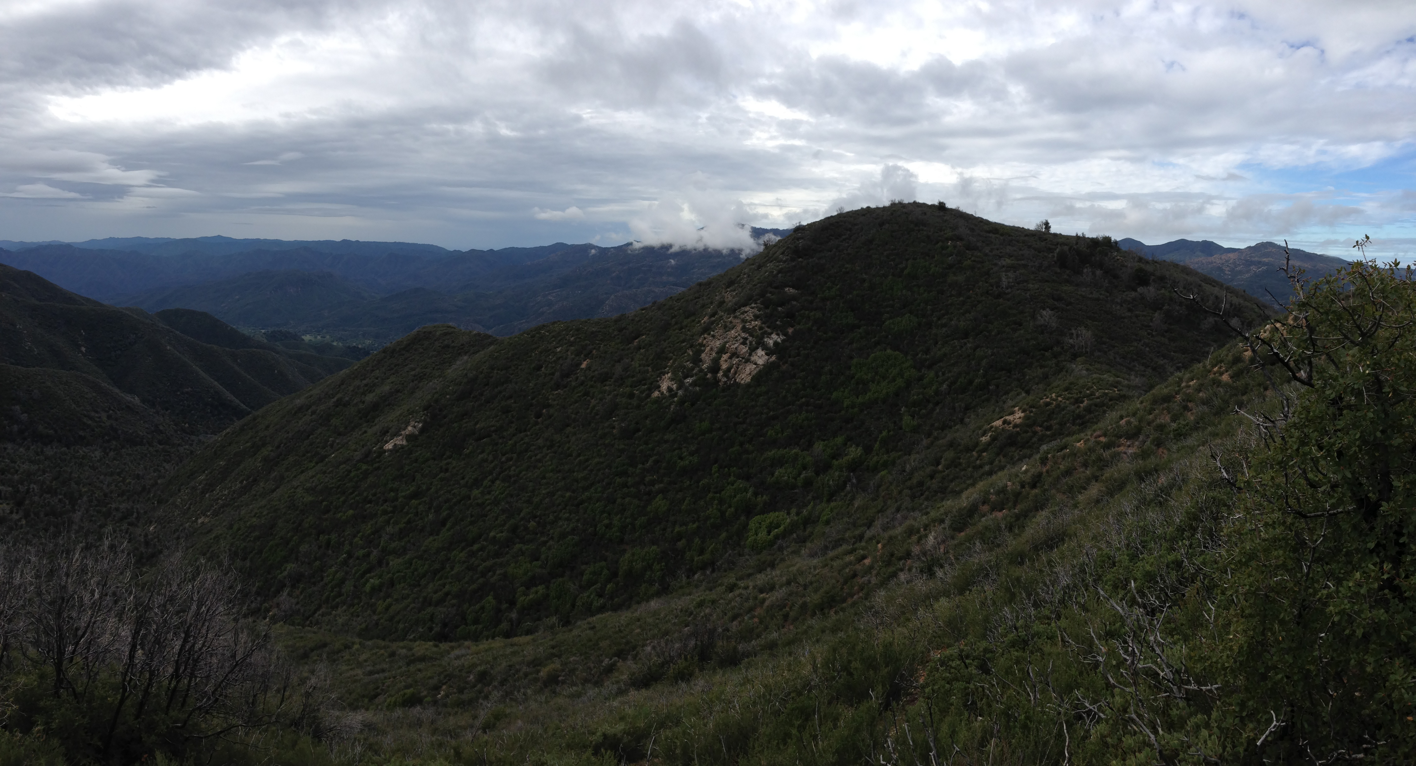
Taken from higher up on the Junipero Serra Summit Trail.
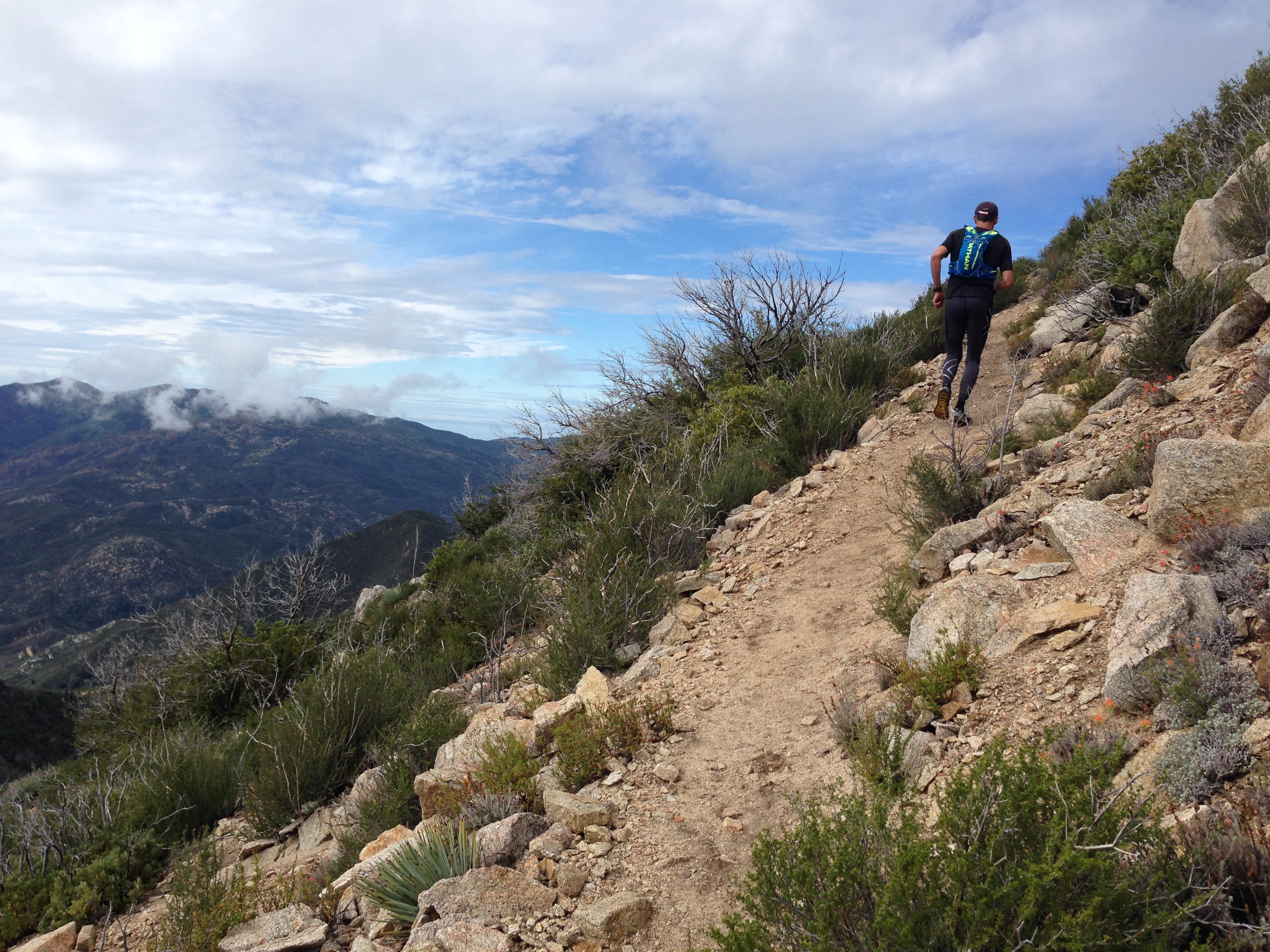
The Junipero Serra Summit trail is in pretty good condition most of the way up.
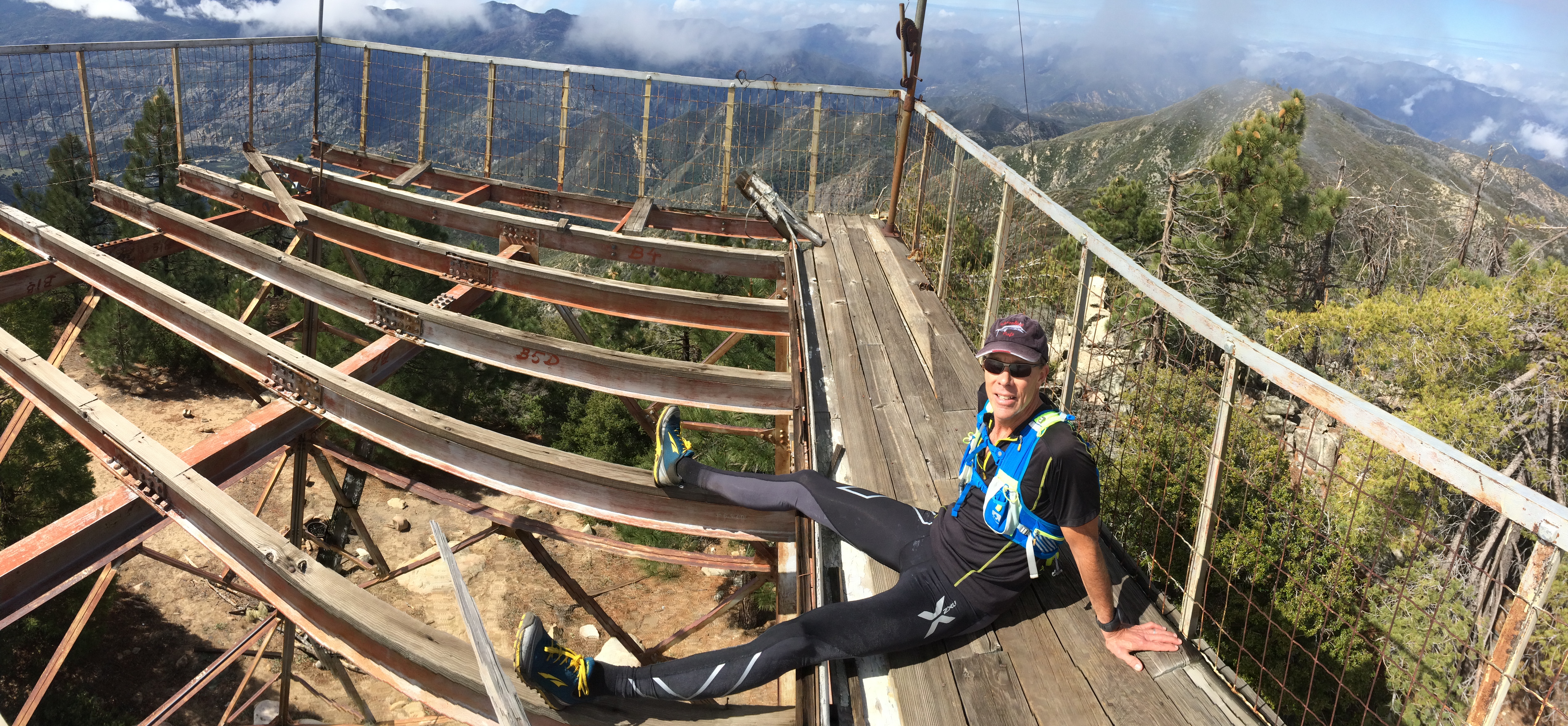
There is a tower at the false summit. There are two summits, and the highest one (the one with the register) is the one to the East.
It is very accessible via the trail from Indians, which is slightly overgrown the entire way, but very runnable. Also notable on this fine journey was the absence of ticks (in March at least) and just one small stand of nascent poison oak. We were fortunate to be able to go on a day when rain was predicted because the flanks of this mountain are fairly exposed until you reach the thin coulter pine forest near the top. The clouds lifted from the summit just before we arrived, keeping temperatures perfect the whole way.
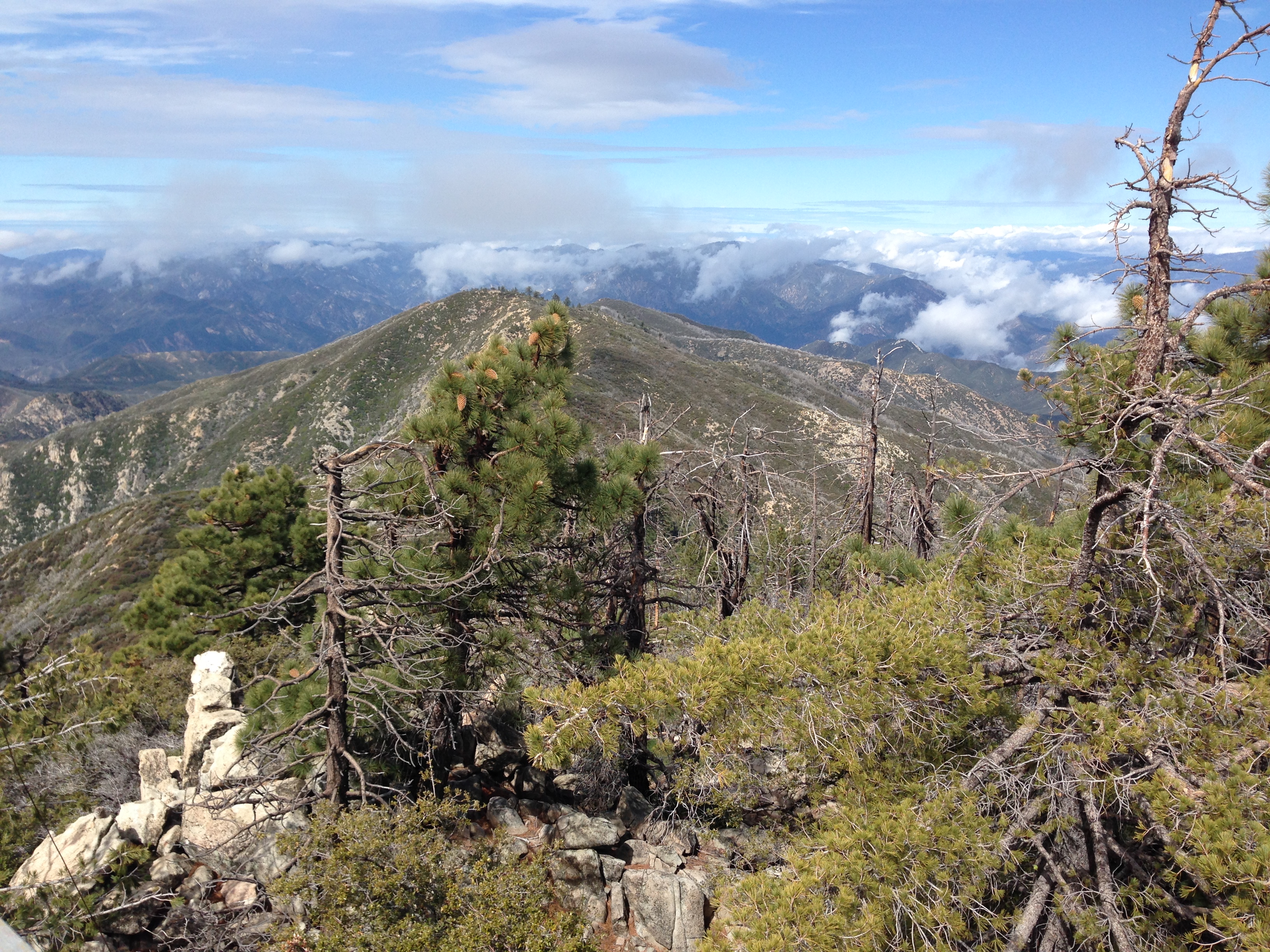
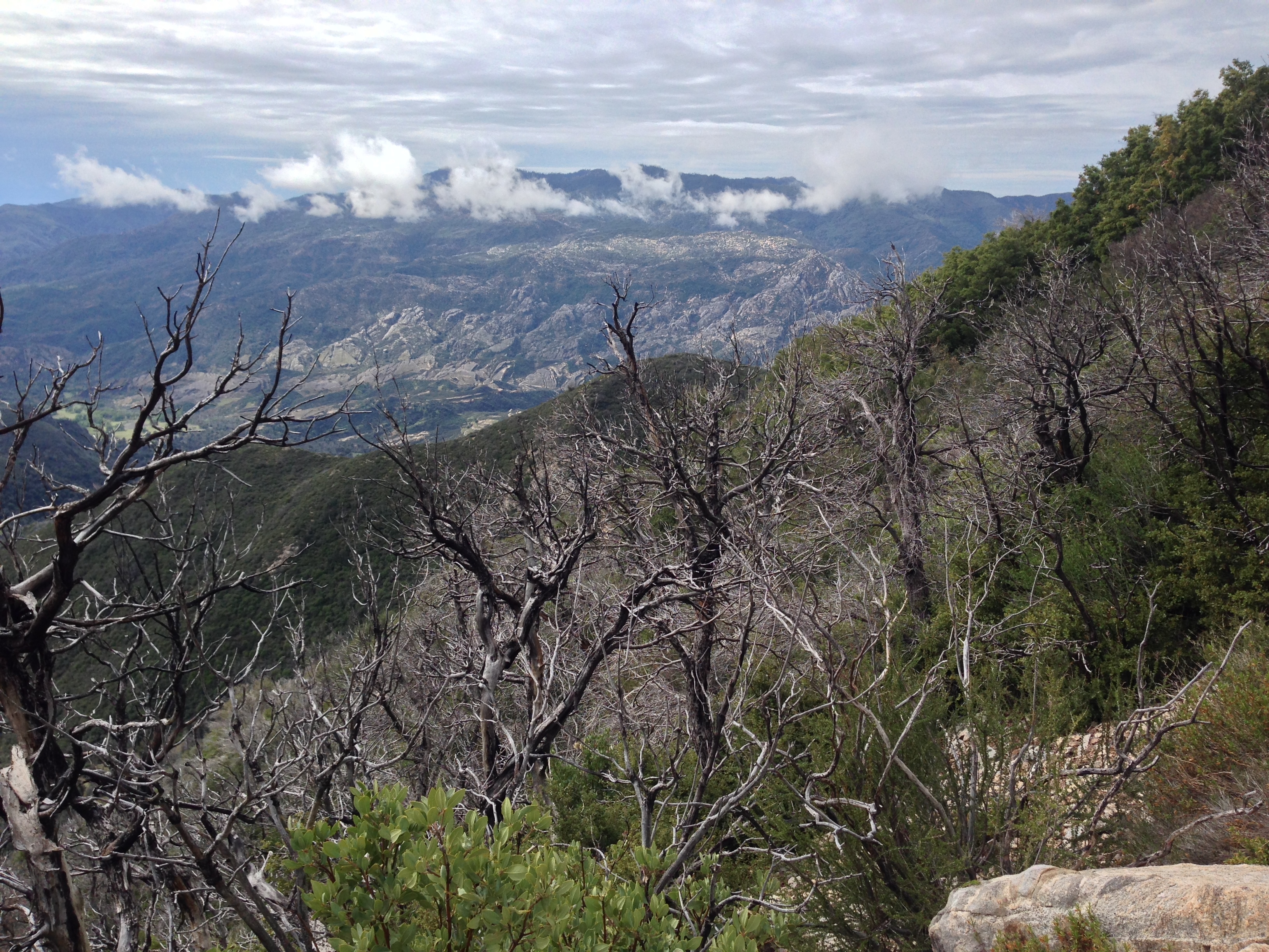
View to the North from Junipero Serra Peak
Down on the Santa Lucia Trail, the going is fast.
The register had very few signatures since 2009, but I suspect this may have to do with the fact that the highest peak is actually the Eastern Peak, and not the one with the lookout tower (hence people may have turned around at the tower and not signed the book). This area is a rugged region, and offers spectacular vistas of sand stone rock formations – from the summit AND along the beautiful drive in.
Goldfields
If you’ve never been to the end of the road here, I highly recommend the drive (between February and May) – even if you don’t plan to go to the summit. It is somewhat of an adventure just driving in: there are two stream fords that were easy for David’s VW beetle. These fords would be impassable or closed after a heavy rain. We actually circumvented the fords on the way in by taking the dirt route (accidentally).