Visit Friends And Family Tour – California to Colorado
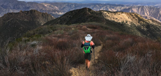
In the early Spring of 2018, I embarked upon a bike tour half-way across the USA to visit friends and family along the way. This post isn’t so much intended to provide route information, but instead designed as a log of the trip. In spite of that, some of the stretches of road such as the Extraterrestrial Highway and the Burr Road were really nice sections that I’d recommend.
This is the map for the entire route discussed in this post. To Export GPX files, click on the three horizontal bars in the upper right hand corner of the map and select Export selected map data... To see full screen, click here (opens in new window)
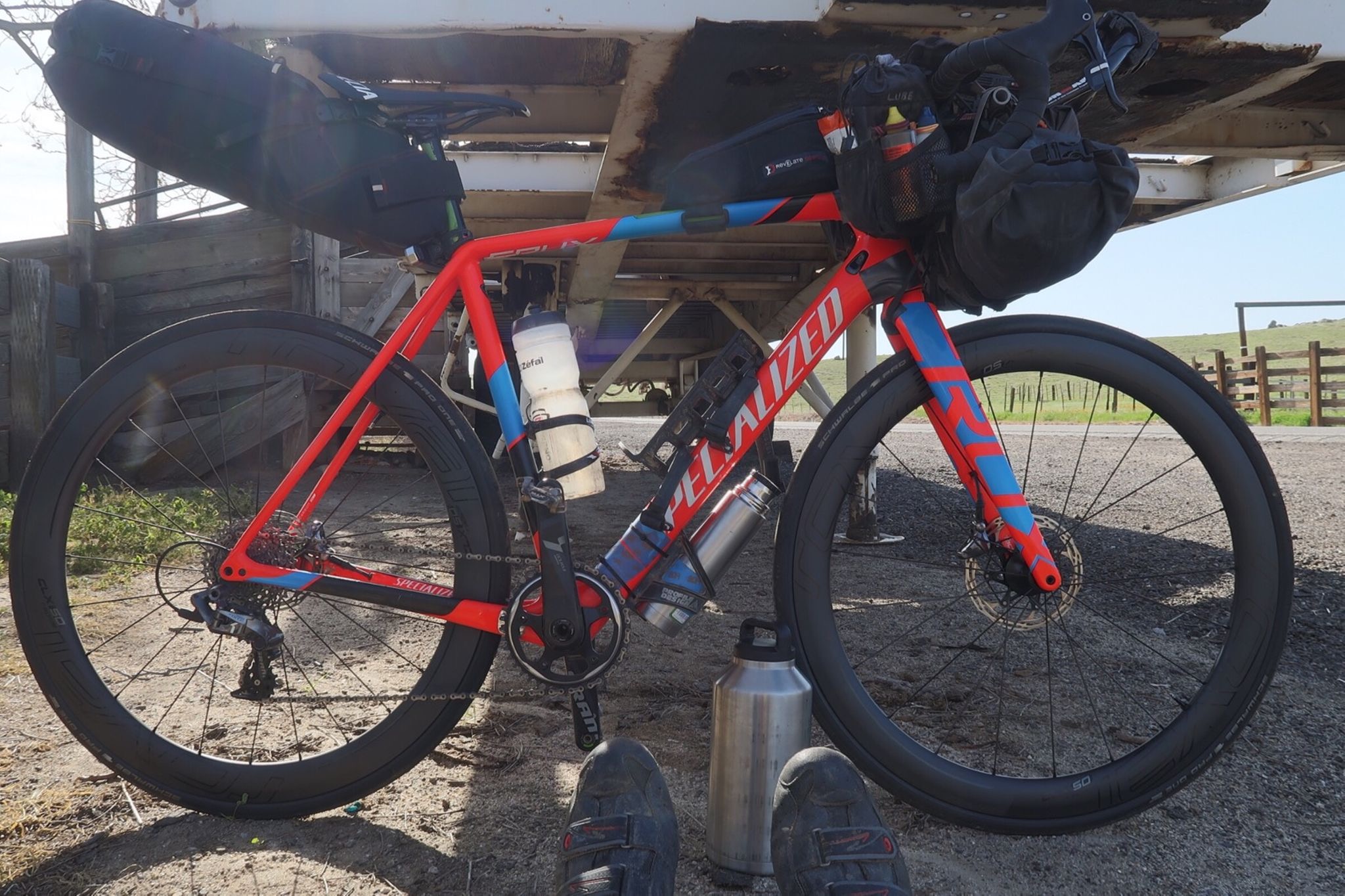
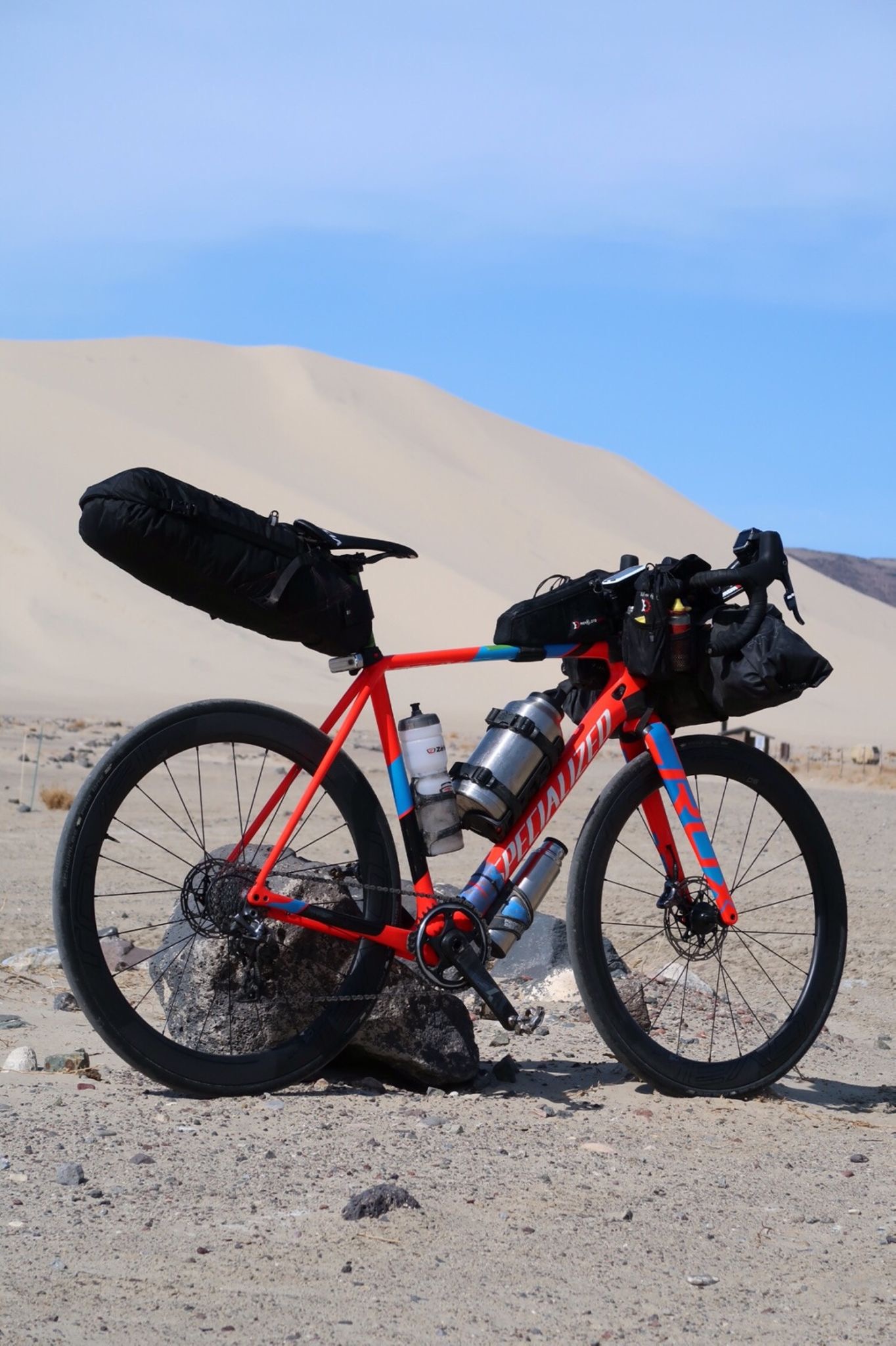
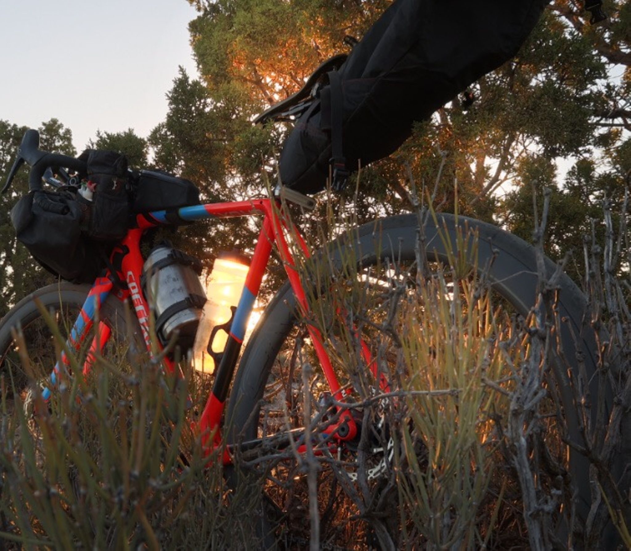
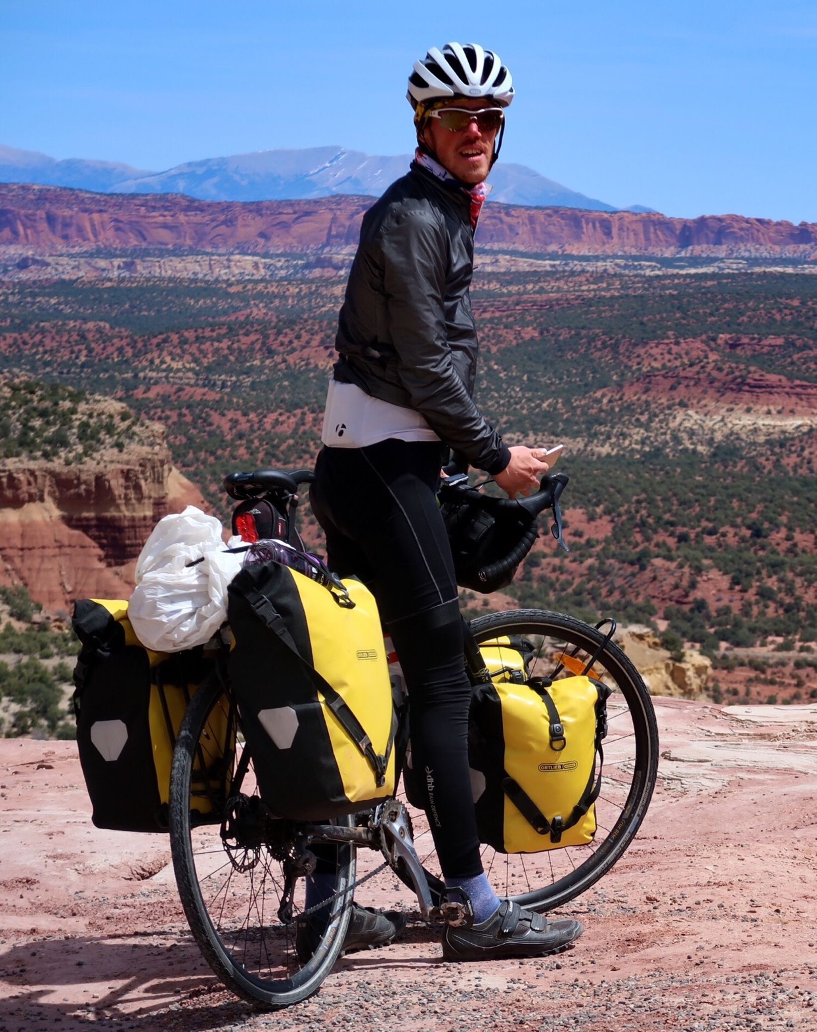
Here is the rig for my ride half way across the us. Going to visit my dad, then some friends. Today, almost all the people waved along 155. A very friendly area. Some firemen in McKittrick gave me water (store was closed for Easter). They wanted to talk my ears off – really nice guys. I ended up giving half my water to a guy on Granite road. He had been walking in the 90F heat – an no one had picked him up all day! He still had 6 or 7 miles to a town.
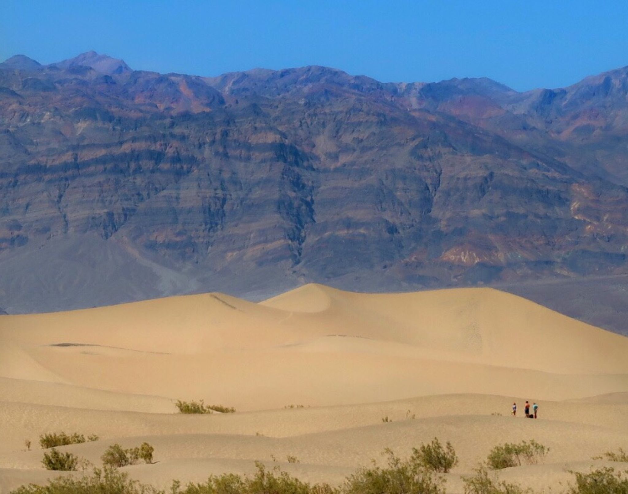
This is called “Devils cornfield”. The sign says that intriguing names were invented back in the old days to encourage people to come out to Death Valley.
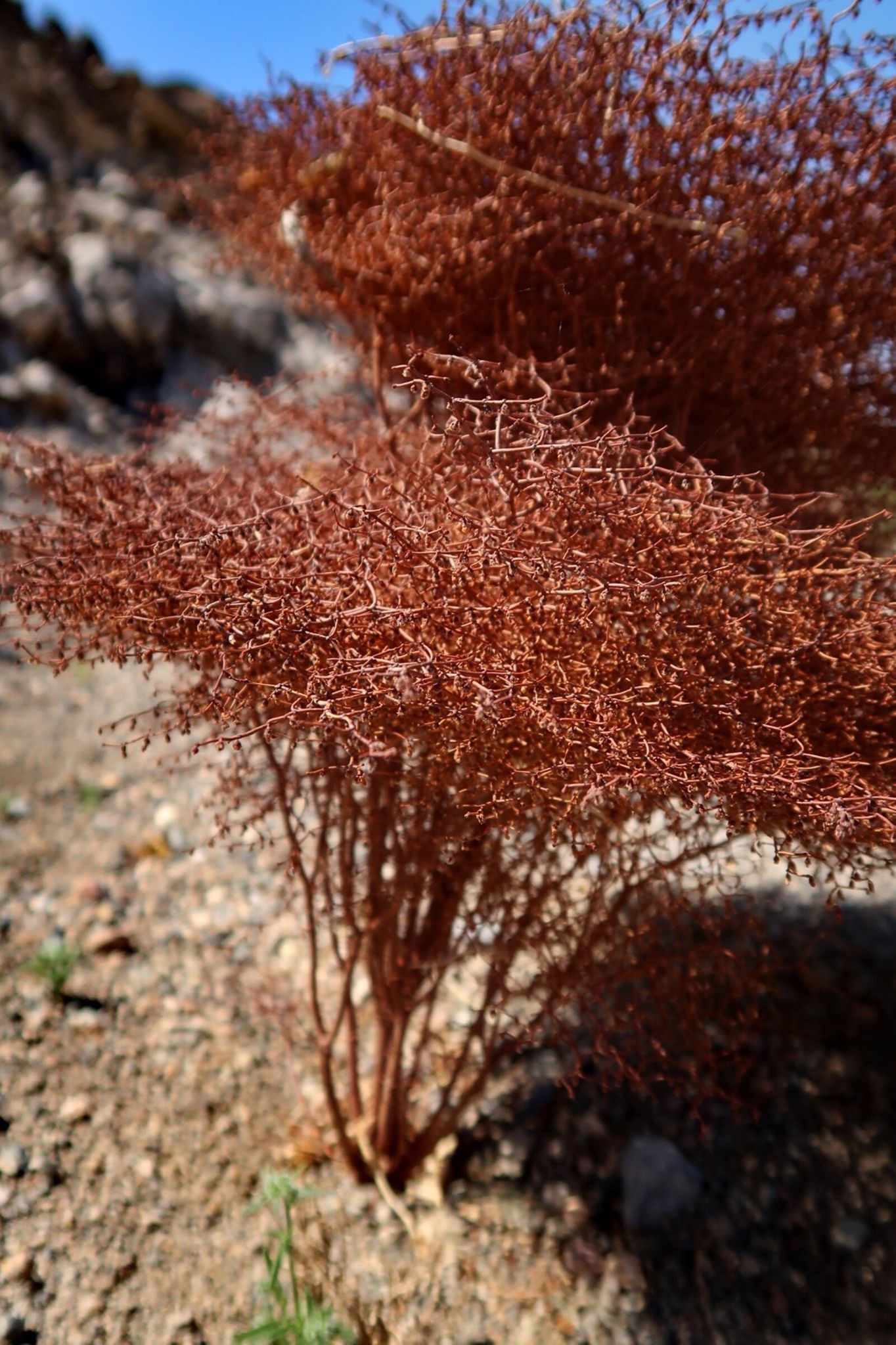
A curious little shrub. I stopped to check it out, and briefly thought it was rusted metal springwork from a seat or mattress.
92F, not bad for Death Valley. I got up to 107 later in the day.
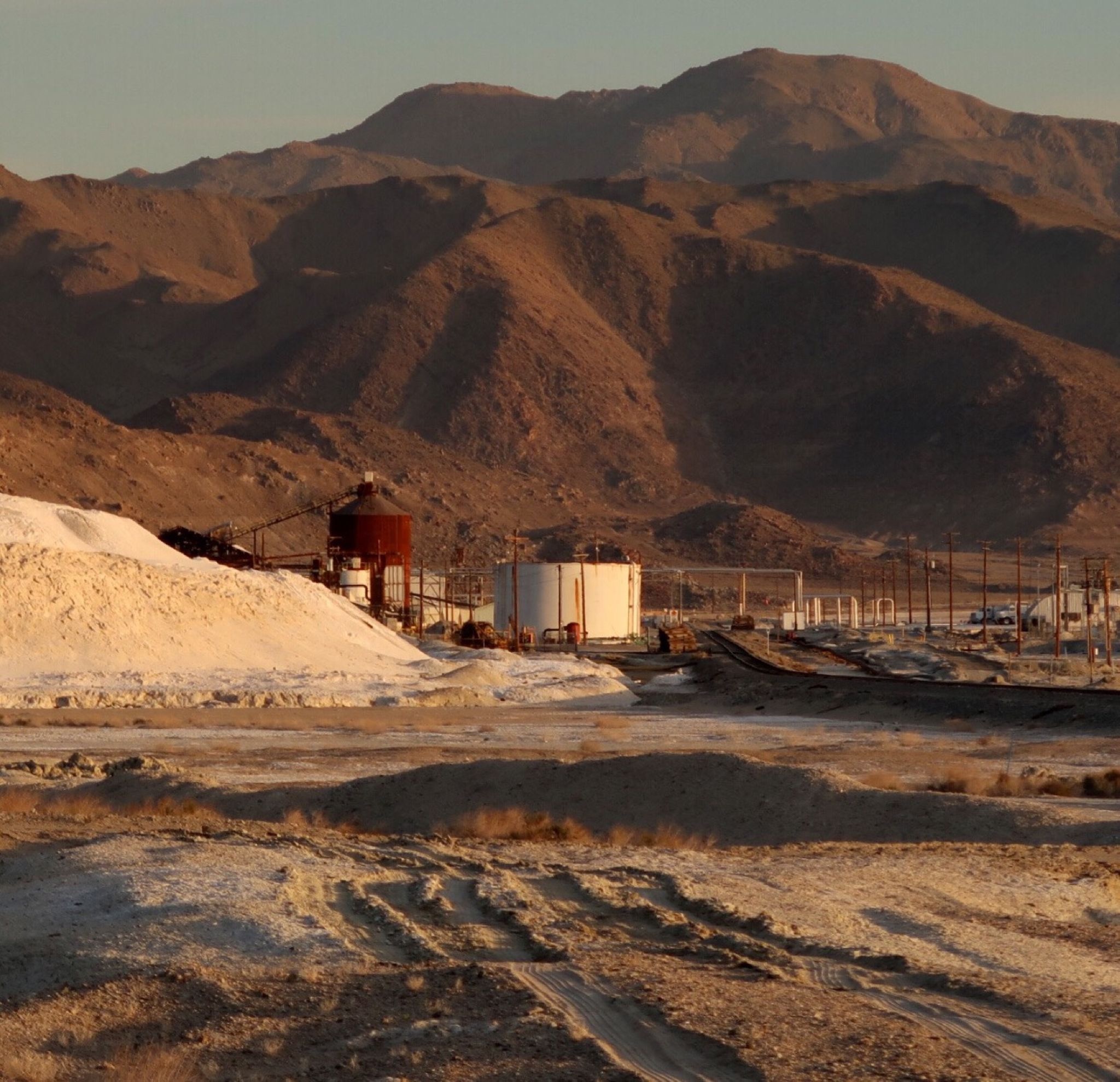
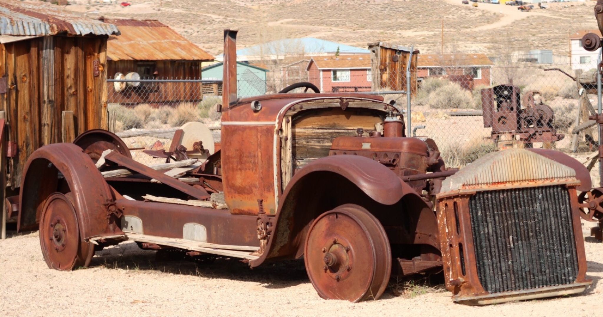
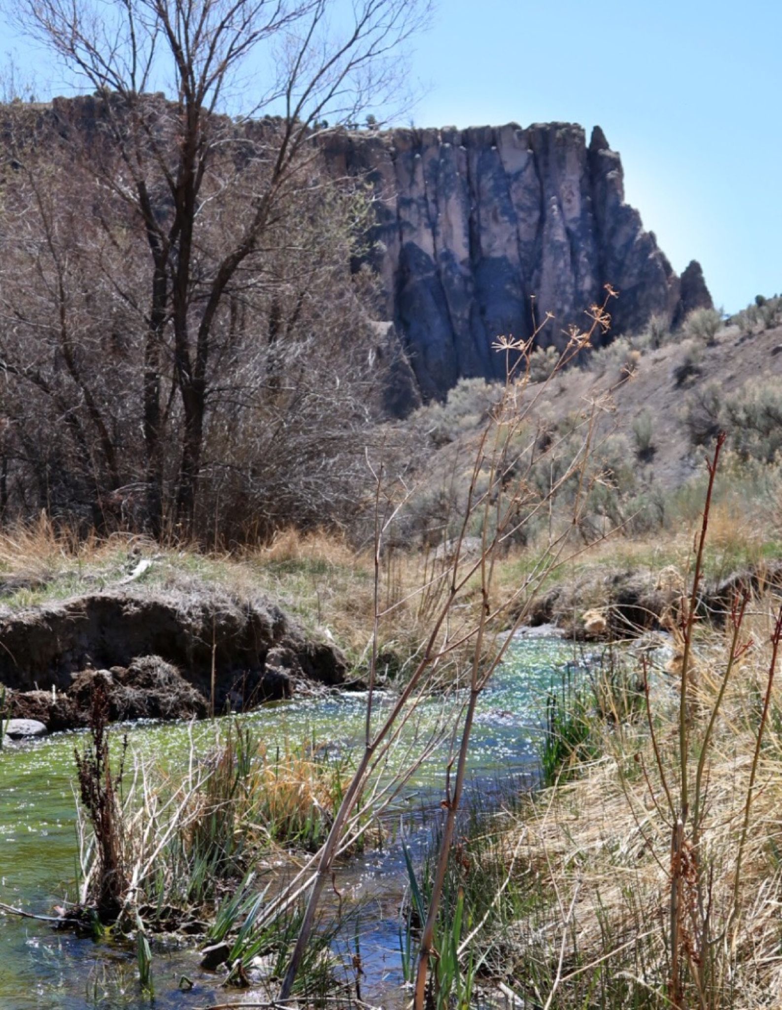
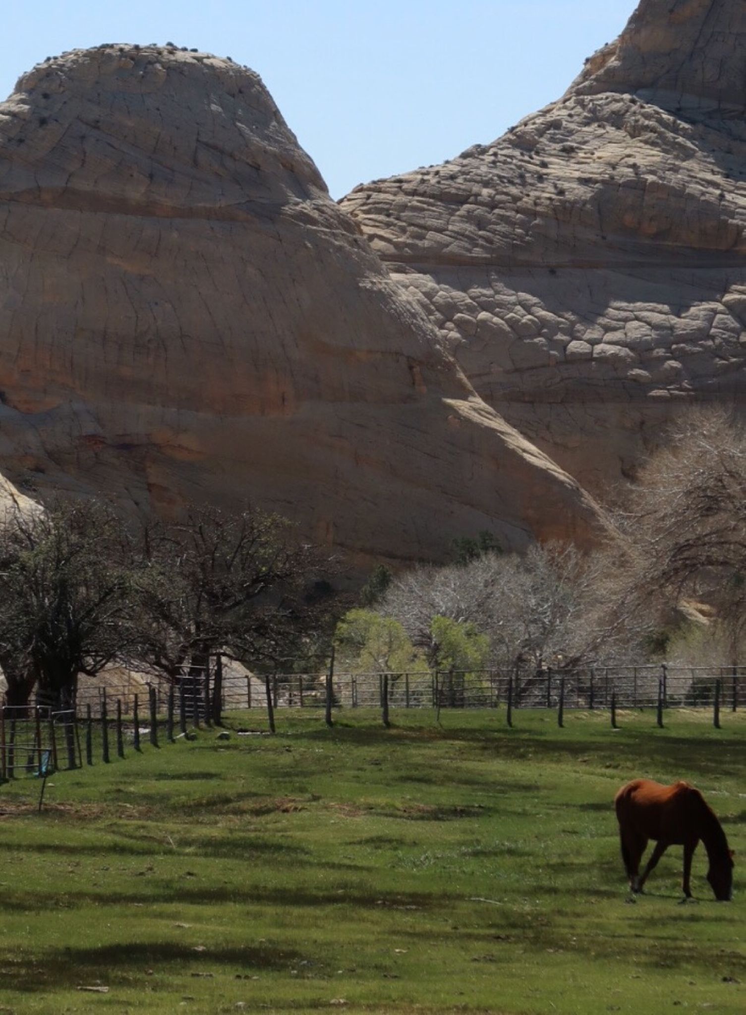
The beautiful town of Trona. A mineral mining facility.
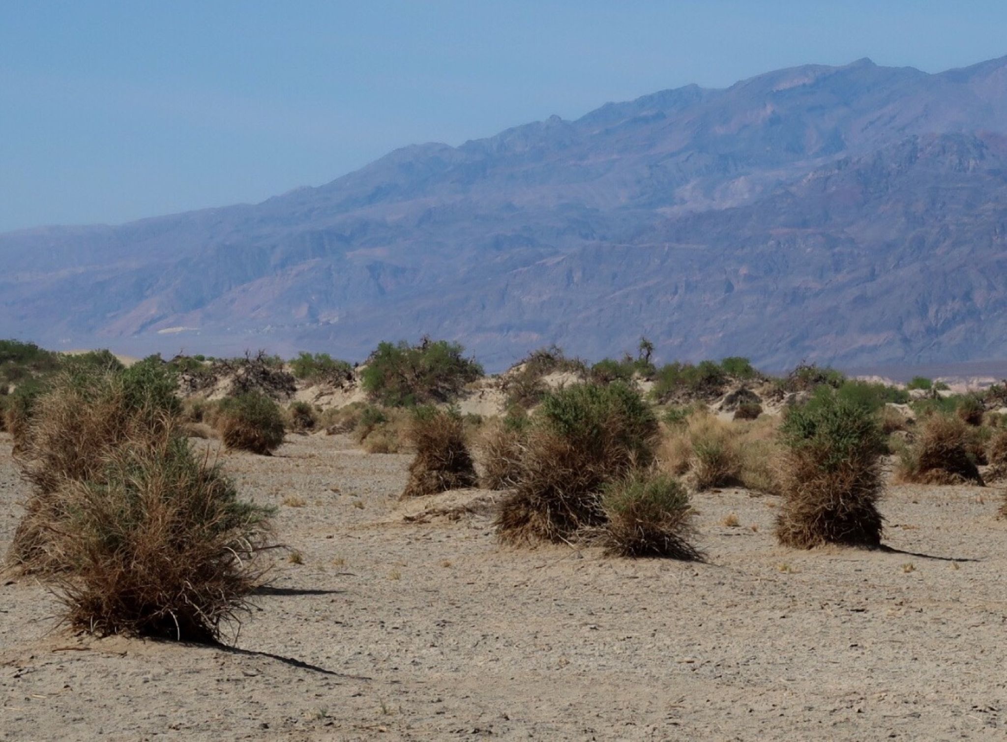
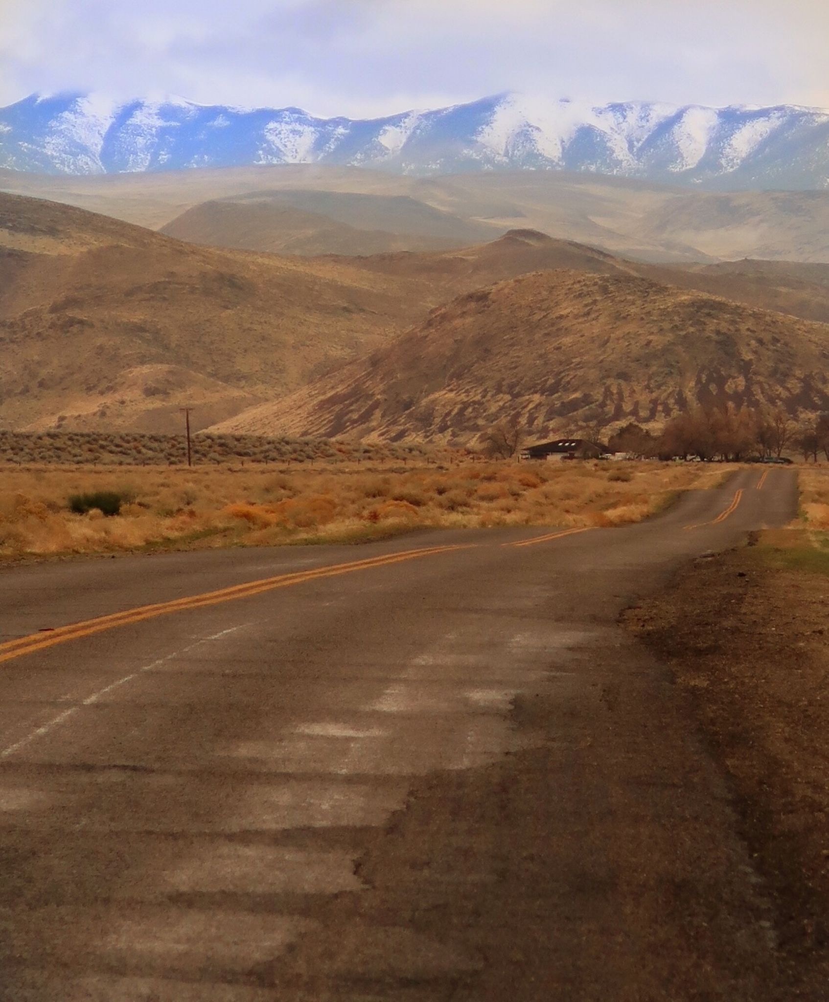
Carefree highway! After leaving 95, which was somewhat busy, I took a super quiet road which was very enjoyable. Temps ranged from 48F to 90s!
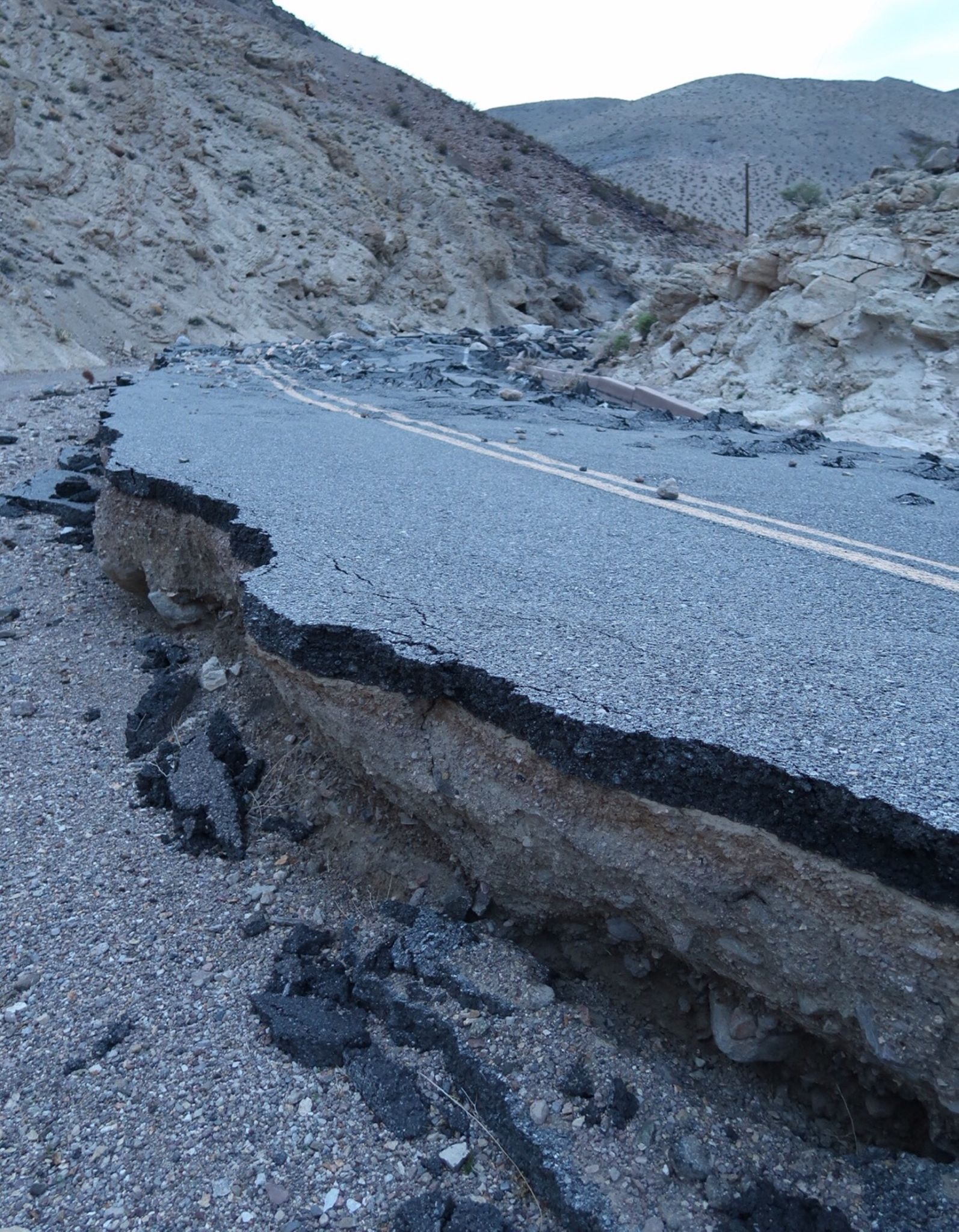
The road by Scotty’s castle was closed. I don’t know what’s wrong with me, but I really wanted to go that way. I figured it would be a small, perpendicular washout. Turns out it is devastated for miles – the road became a river! I slipped through before sunrise, walking my bike through the sand for 2+ hours.
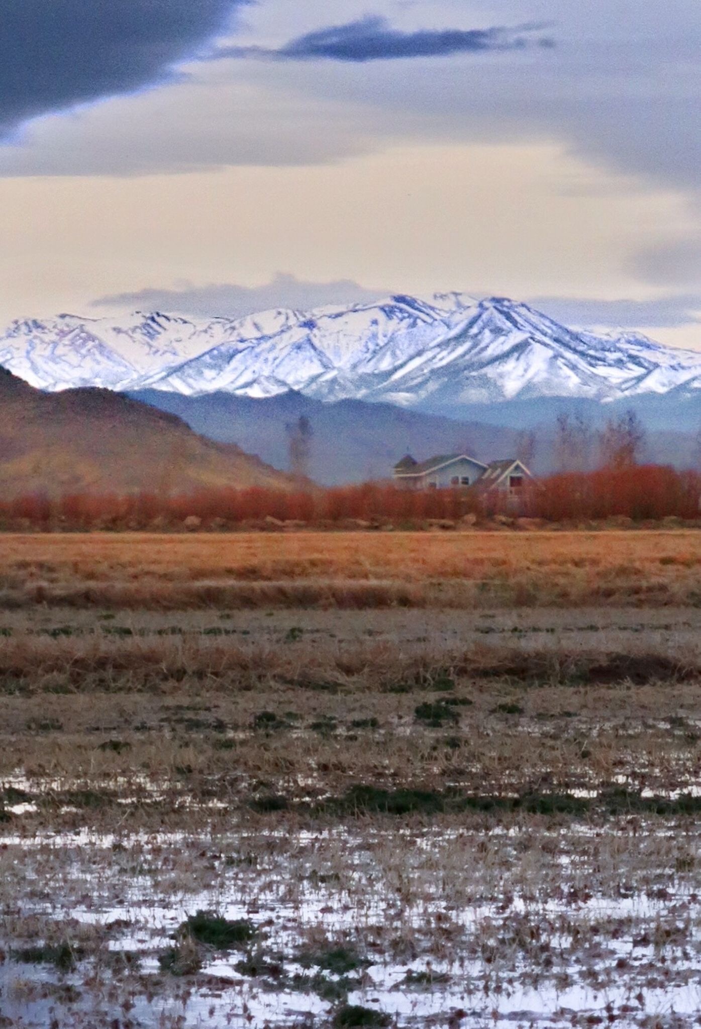
Coming into Yerington, a mix of farmland and gun ranges. In town, casinos. Sadly, the casino with the $10 rib eye and all you can eat salad bar had just closed when I arrived 🙁
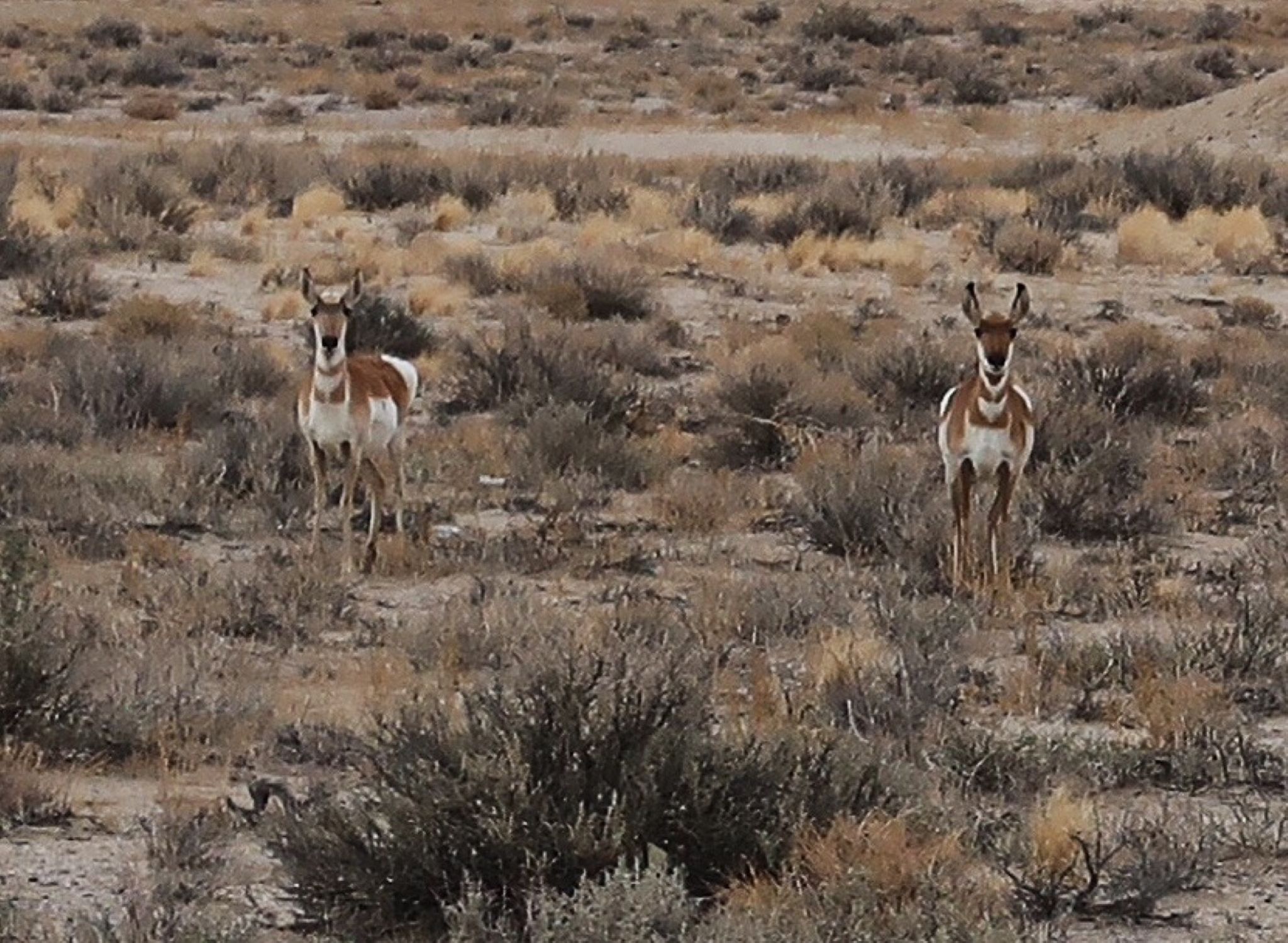
What I think are some pronghorns.
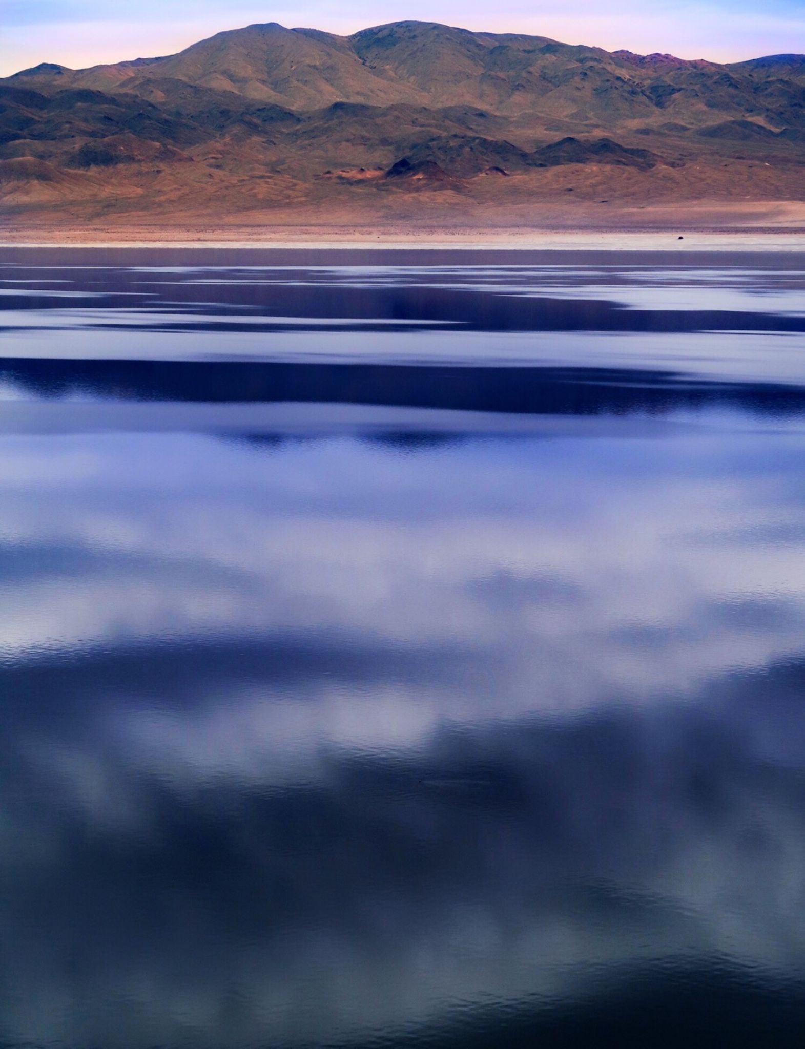
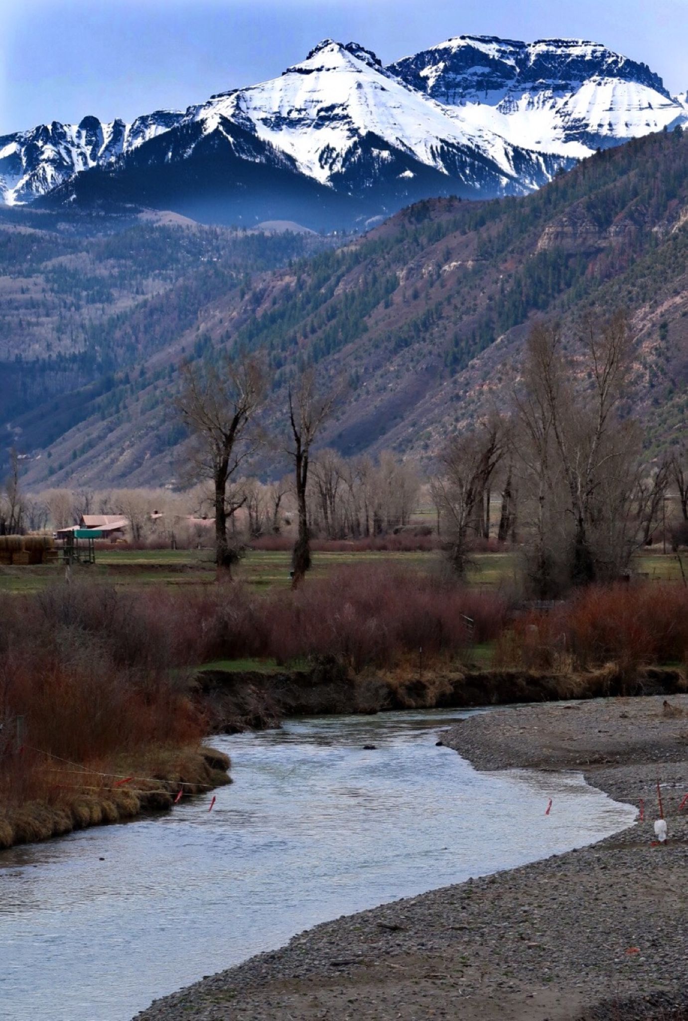
Walker Lake. The winds were against me for the last 80 miles as the storm approached, but I enjoyed the scenic Walker Lake
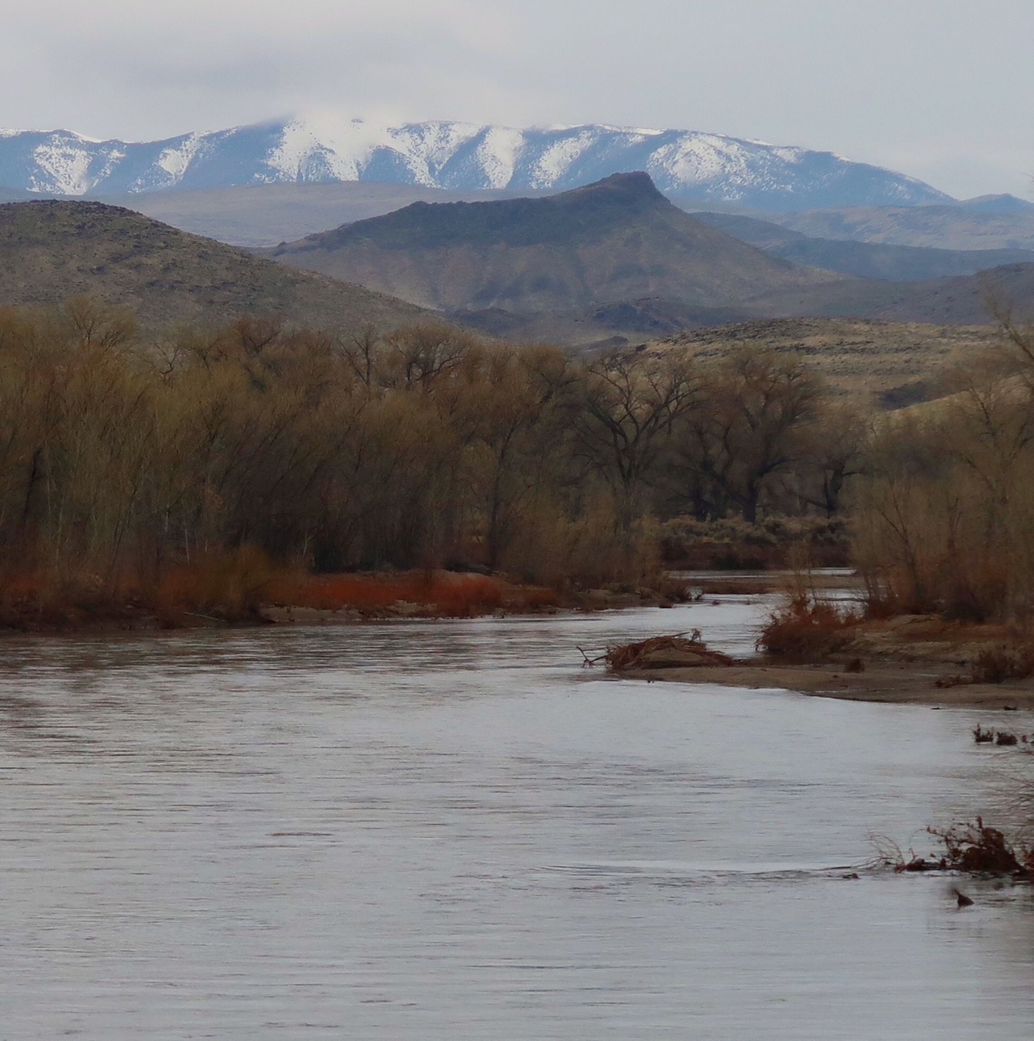
Some pretty scenery in spite of the rain.
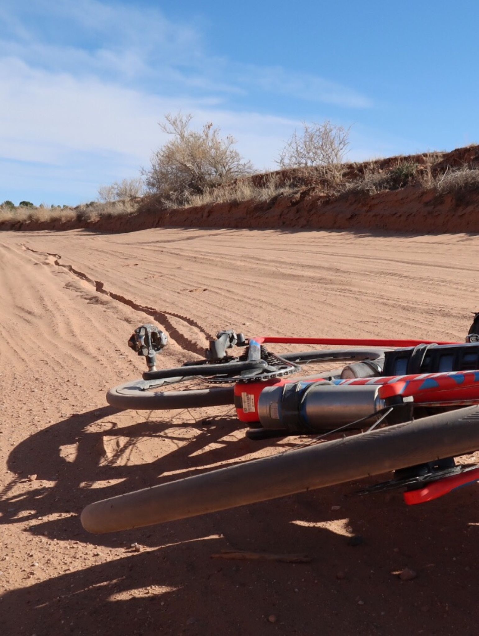
I was happy to head down this auto-tour route, but in a bit it turned to dirt. My bike is great on the road with 25c tires, but no match for 26 miles of washboard. I had to retreat!
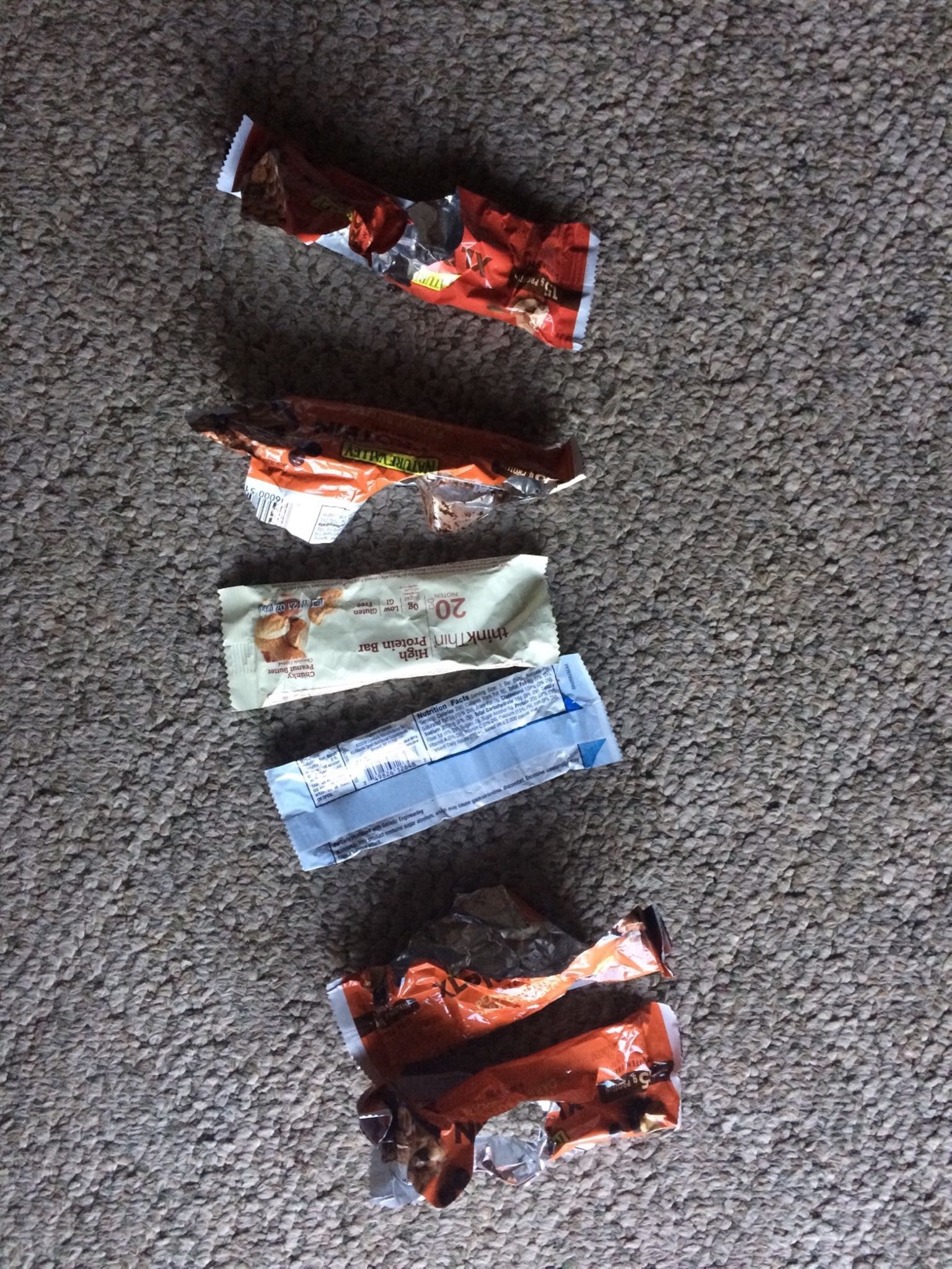
Today’s Stats:nCal: 1600nNet carb: 62gnFat: 89gnProtein: 100gnSugar alcohols (allegedly not digestible): 27nTotal insulin injected: 13UnAverage blood glucose: 110mg/dLn(normal is 85). Oddly, the total calories don’t add up from the macros on the labels.
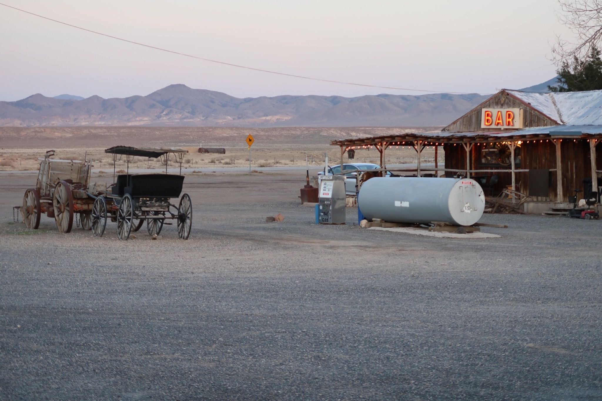
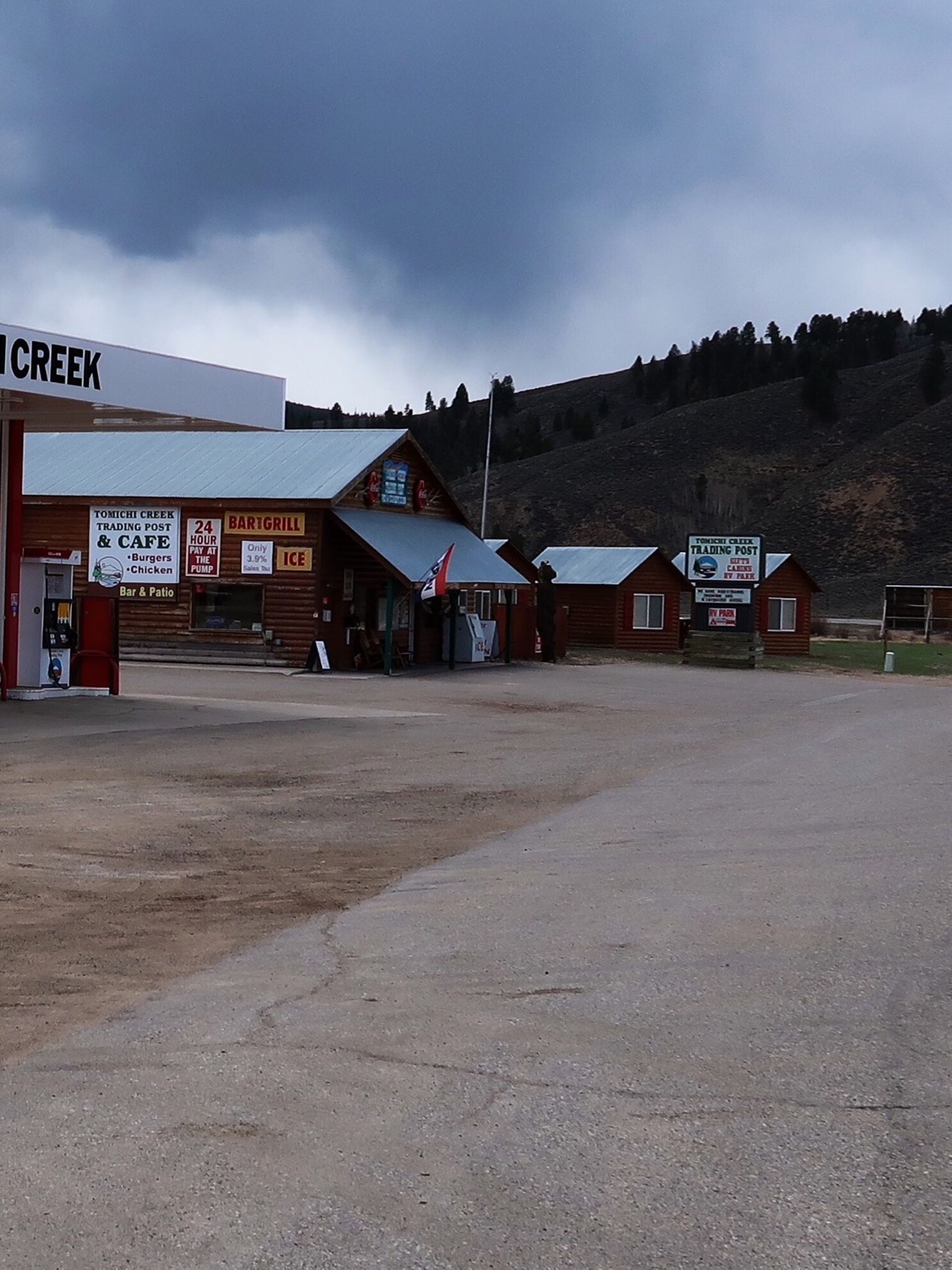
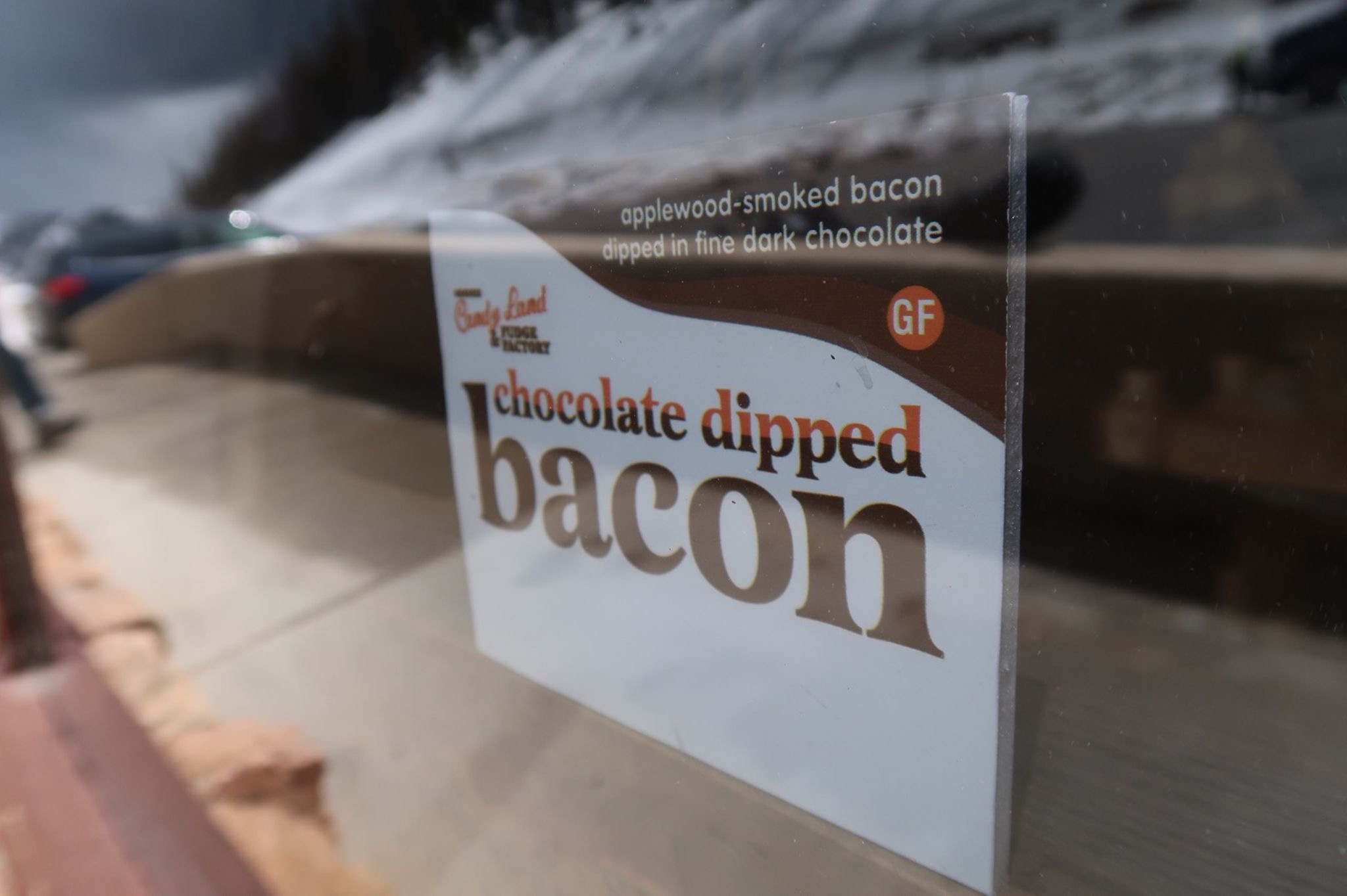
There wasn’t much on the road today, but this one stop that has everything a touring cyclist may need. I listened to 4 great science podcasts (and about 50 so far on this trip). I’m finding that you pretty much cannot believe ANY study you hear about – I am appreciating the self-critical look at science. (even though possibly fake study tidbits are fun to cite in conversations)
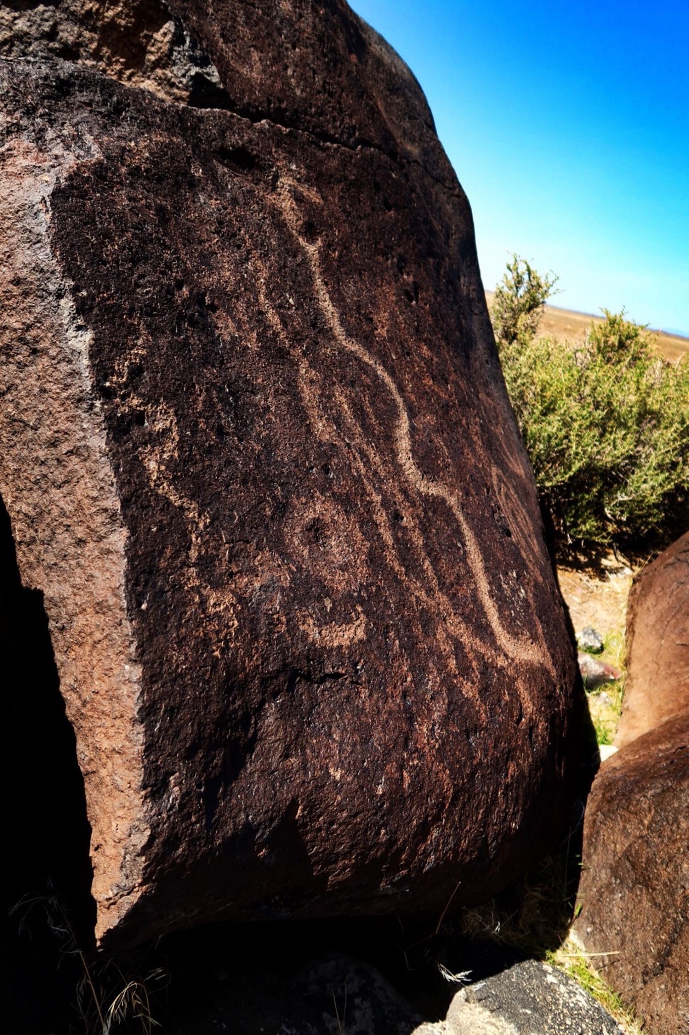
Along hwy 50 I stopped at a petroglyph site. This site had actually been 400’ under water prior to the arrival of the native Americans about 3000 years ago.
Another tourist site I visited was sand mountain. Supposedly you can see this from Mt Rose in Tahoe! It was formed by sand blowing from the formerly submerged area in my previous picture.
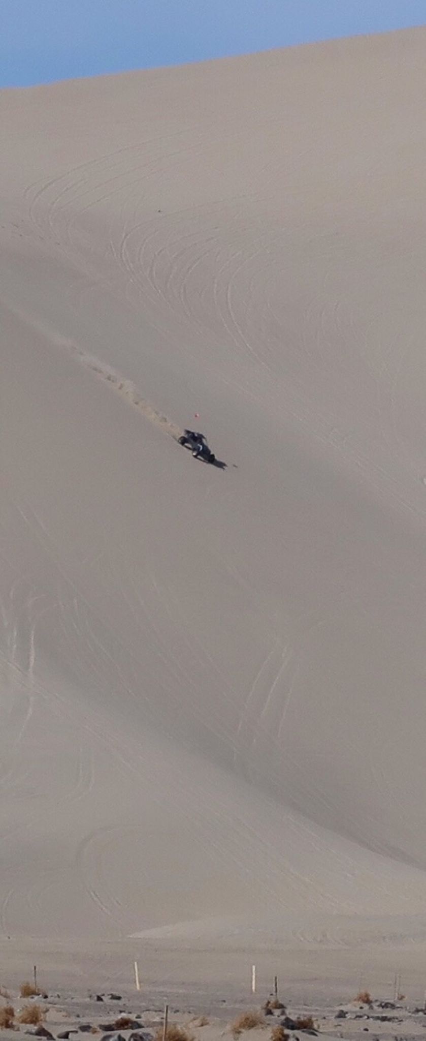
Sand mountain is now a recreation site. I was surprised that you are allowed to motor on it. Actually, this looks kind of fun.
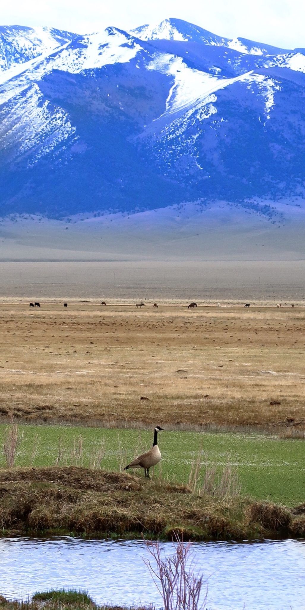
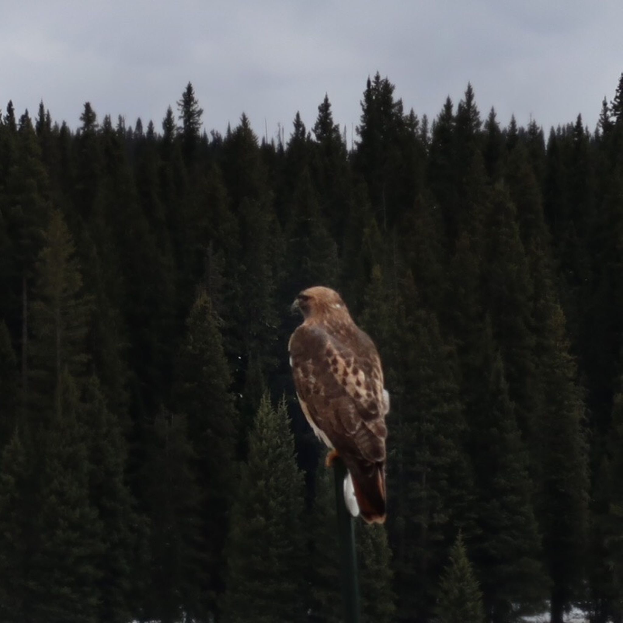
I had to de-res the photos a lot today in order to get them on Strava. The LTE is super funky here. Anyway, there was some great scenery and wild life viewing.
On a tip from Stan Hooper, I decided to head out to Spencer Hot Springs. I’m glad I did because I met a cool guy named Barak from Israel on his own solo (drive). He is married to an American and they have 3 kids and live full time in Israel. The spring was perfect temps; thanks Stan!
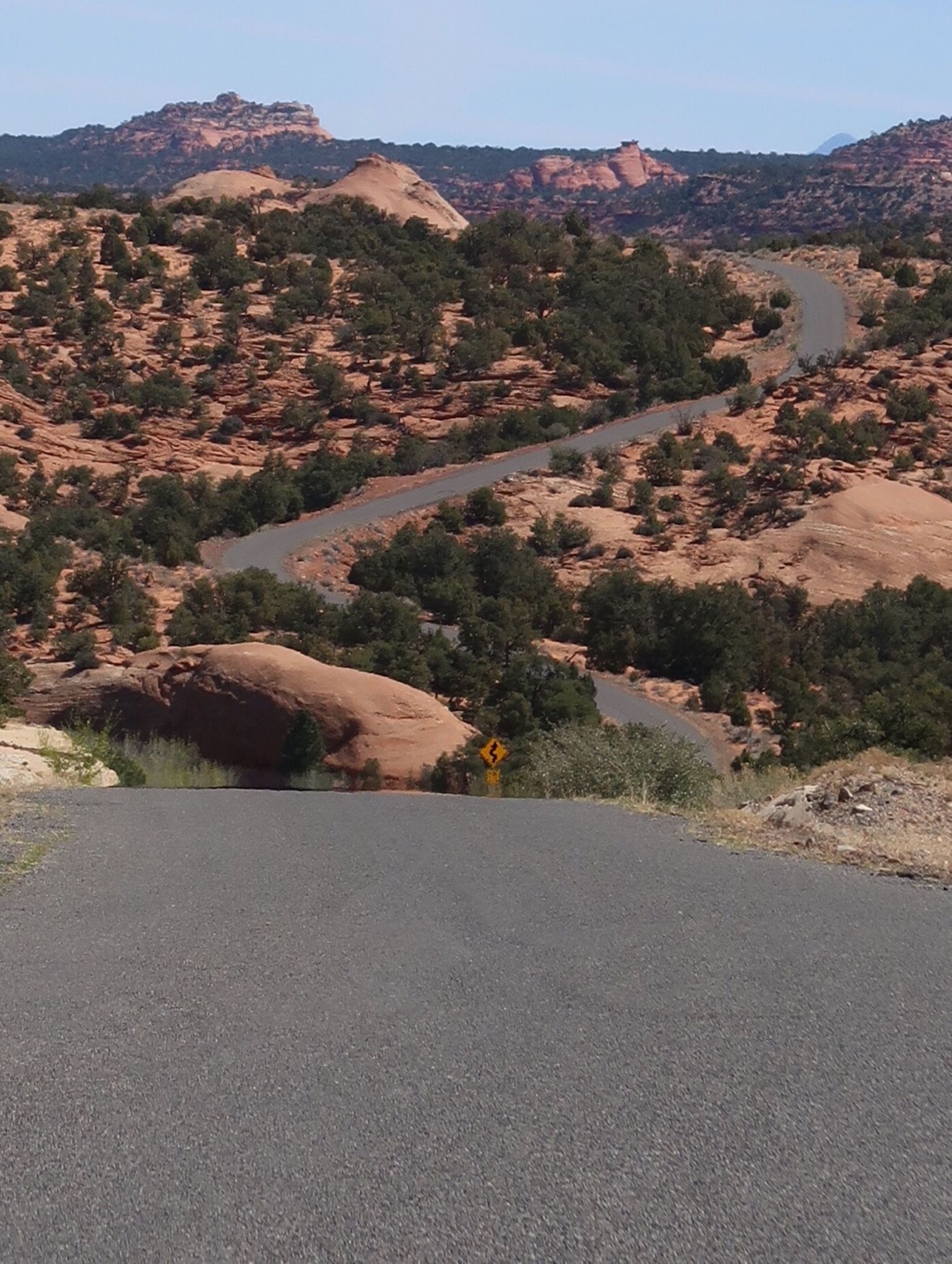
Hwy 722 is lonelier than 50! I only saw 3 cars while riding over the Desatoya mountains. It was a really great alternative to 50.
Some more of 722. When I got on hwy 50, I met two people on panniered rigs doing a ride across Nevada on 50. Stephanie and Dan.
Feeling a little guilty about hoteling it so often, I decided to camp in spite of 30 mph winds with 40mph gusts (yes, those were headwinds). Camp is under this partial shelter, but my tent is still blowing a bit. Kingston has a bed and breakfast that looks nice, as well as a hotel that looks OK. Also a store that is closed Monday, Tuesday, and Wednesday. Canned sardines for dinner!
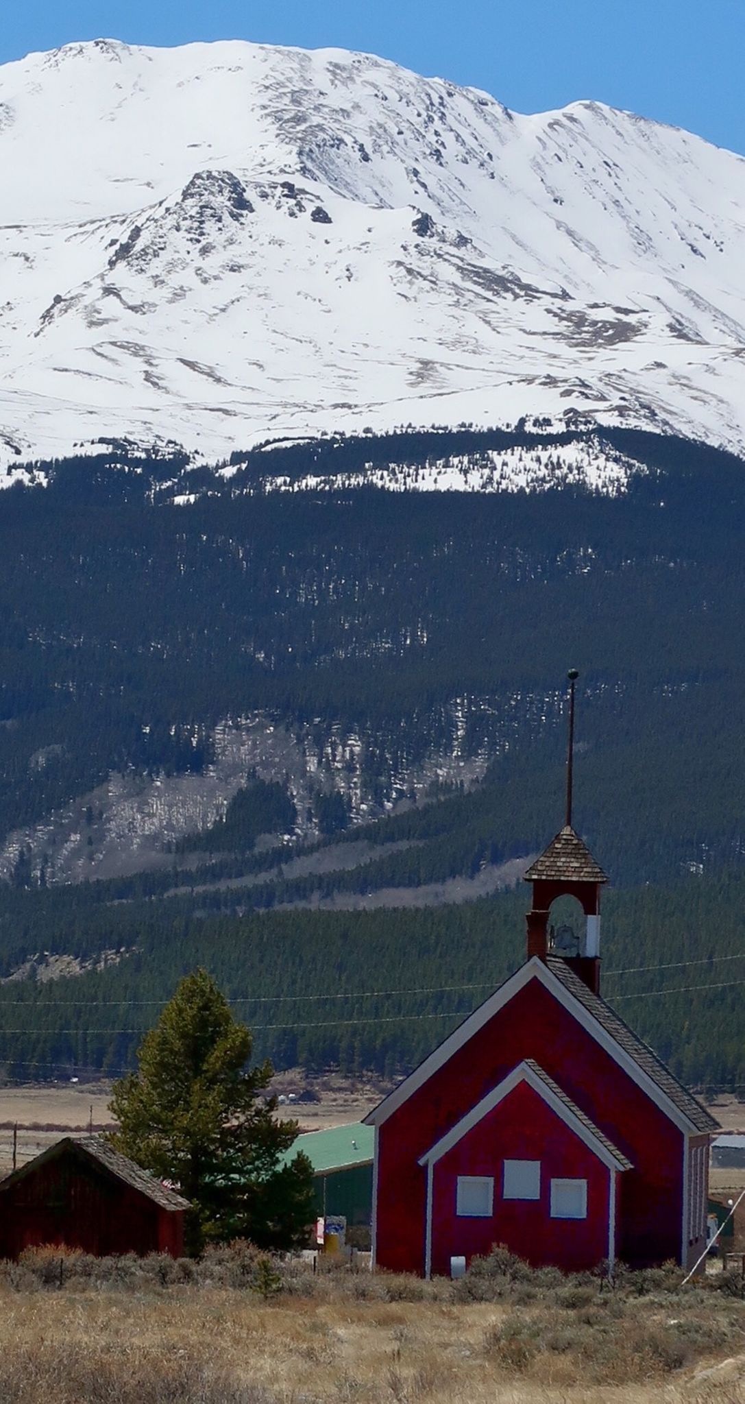
Central Nevada Museum
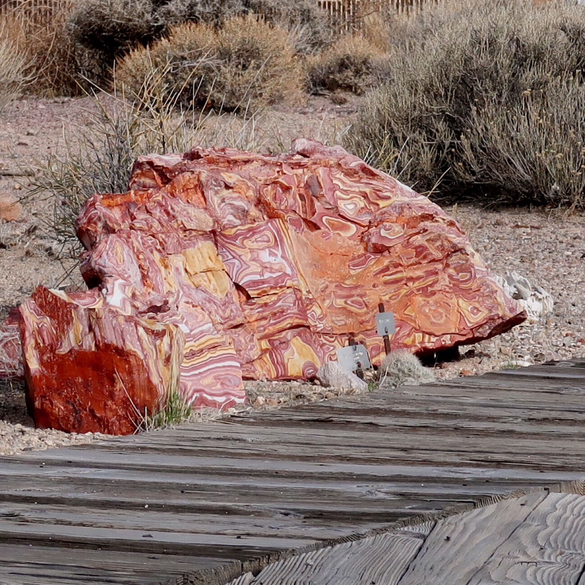
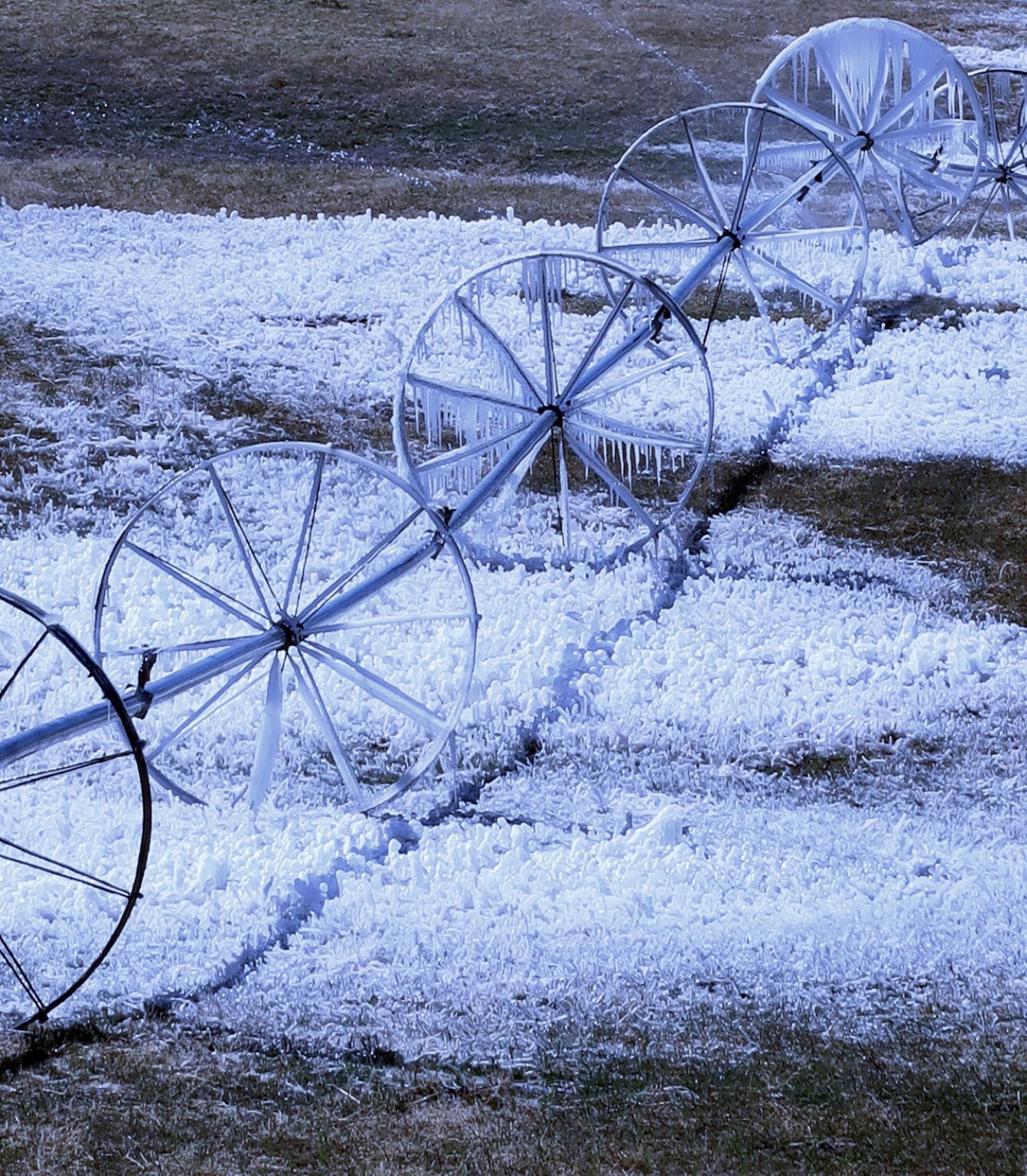
I’ve seen a lot of these type of rocks around.
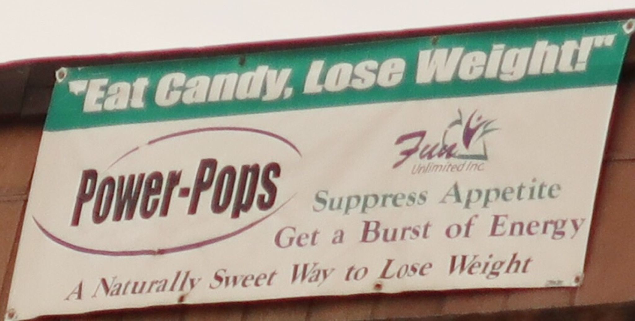
I’ve seen a lot of bold claims – but this one takes the cake.
Last night, the winds (according to the weather report) were gusting up to 60 mph. The building I was taking shelter in was shuddering. I moved into the nearby bathroom! It was only 5.5 feet in the diagonal direction, but I wedged my tent inside as the wind raged outside. Today I rode into steady 20+ mph headwinds for the 2nd half of the ride, and treated myself with a casino hotel tonight.
Before the late morning-afternoon raging winds. Headwinds were so strong that air blew up the cuff of my shorts a few times. Small Rocks blew into my face. Trucks driving towards me with flags would have the flags just hanging down gently flopping instead of dragging in the wind created by forward movement!
Central Nevada museum.
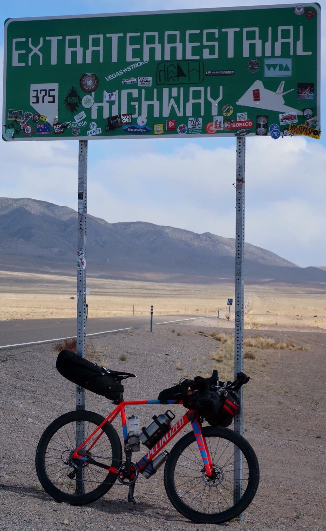
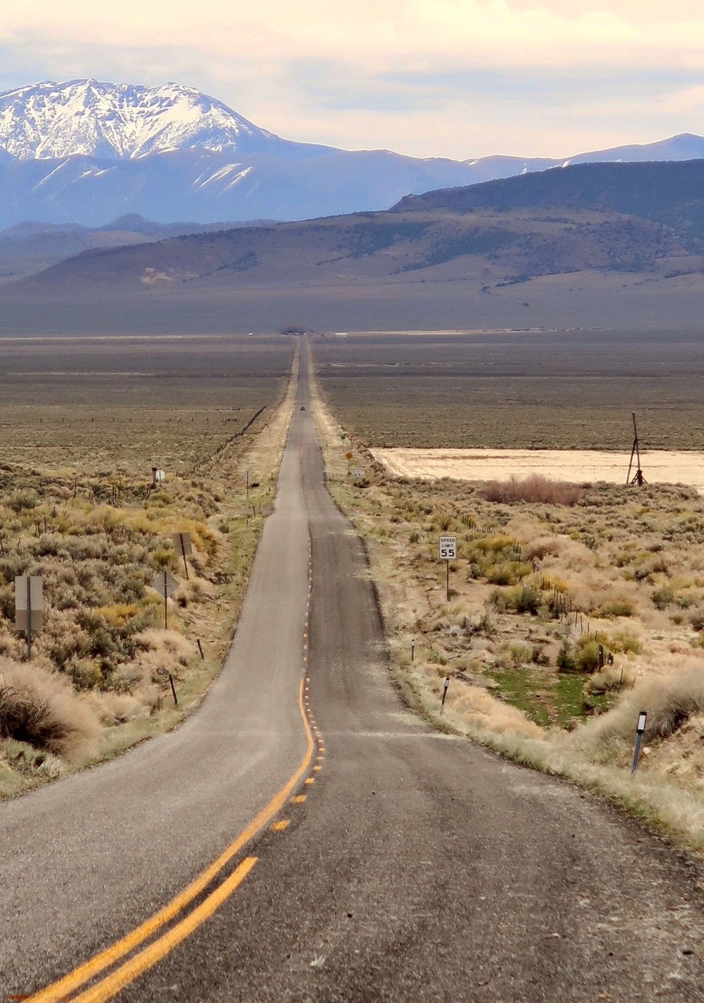
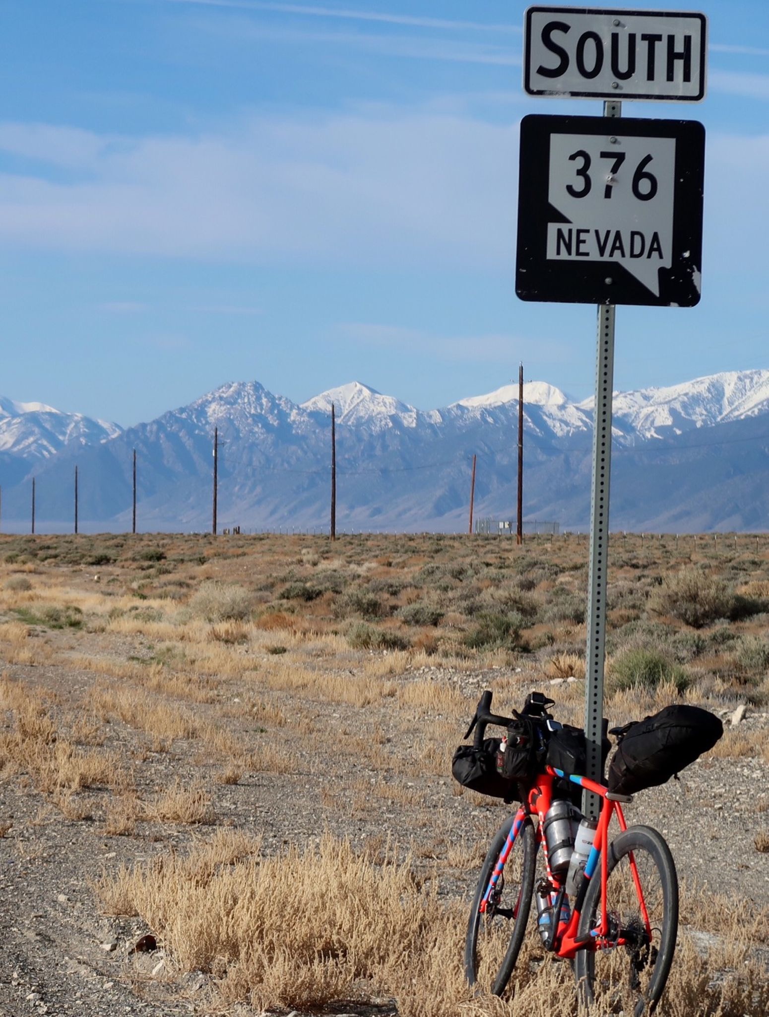
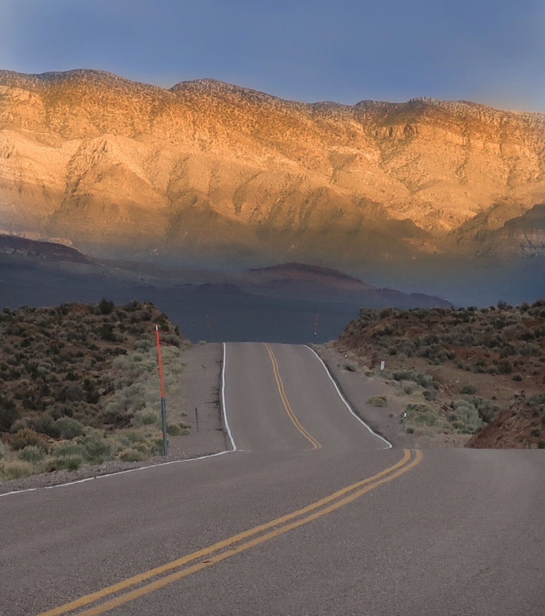
I had been looking forward to this section – the ET Highway!
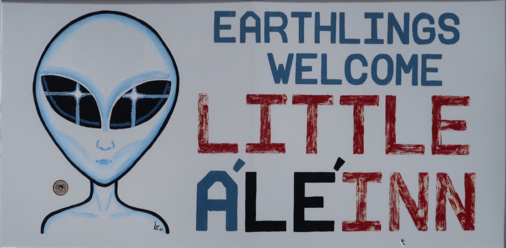
I was hoping to stay here at the inn – but they were full!
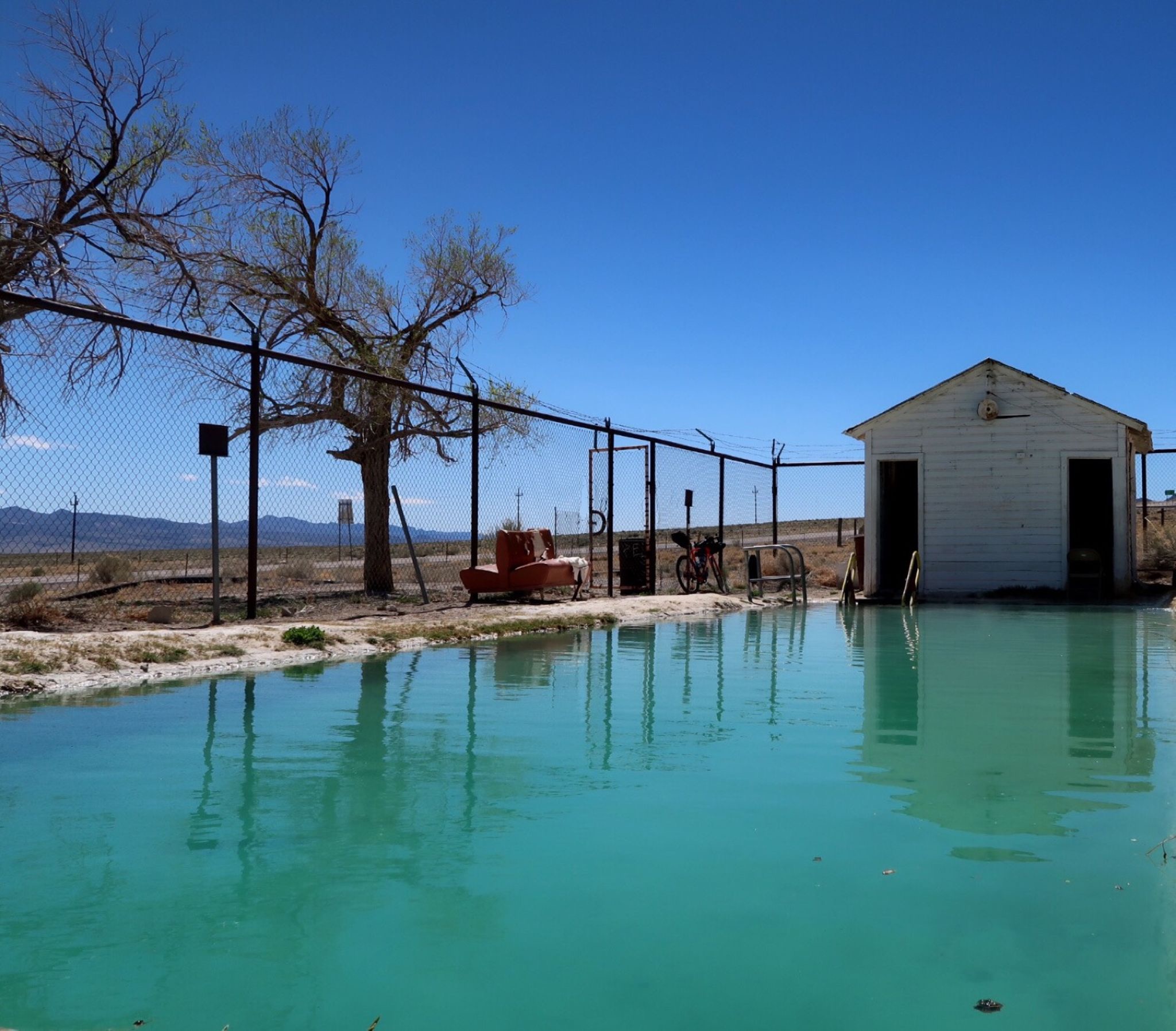
About half way through the ride I came across this wonderful hot spring!
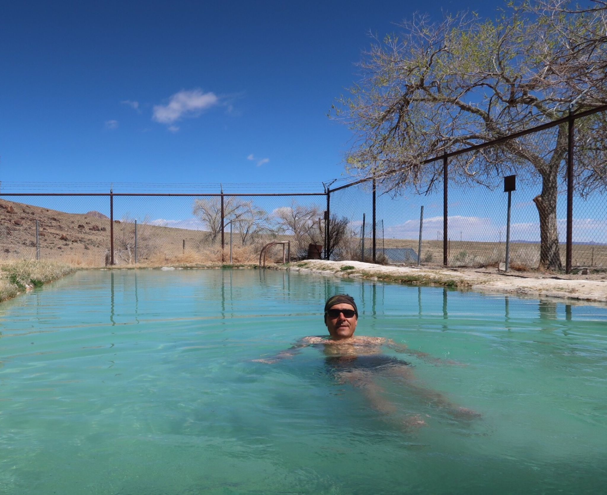
It was cold outside and perfect in the spring! I wanted to soak all day.
Very few cars on the extraterrestrial highway. Maybe one every 15 minutes.
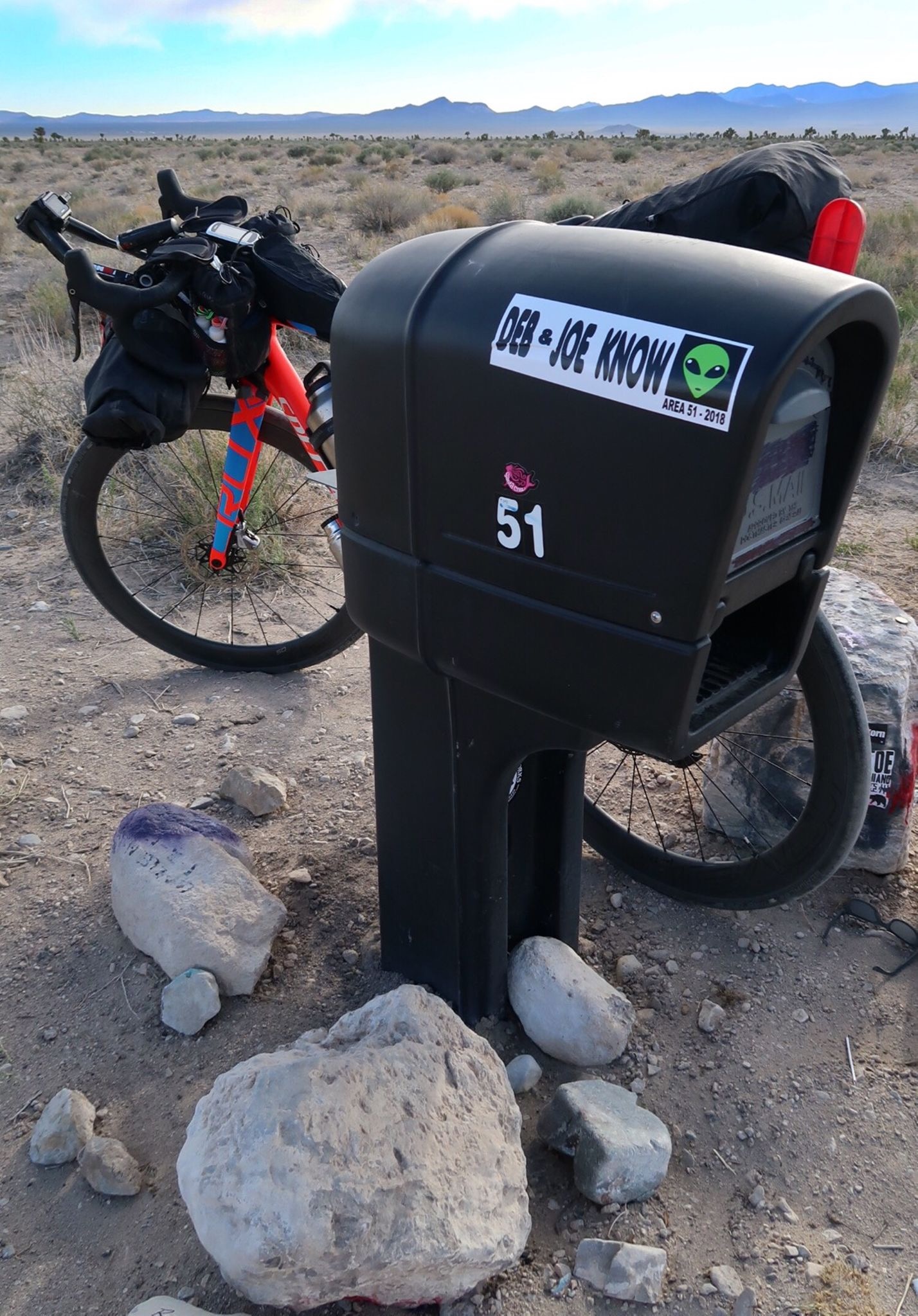
The “famous” black mailbox? It’s out in the middle of nowhere! I guess you’re supposed to send messages to aliens from here?
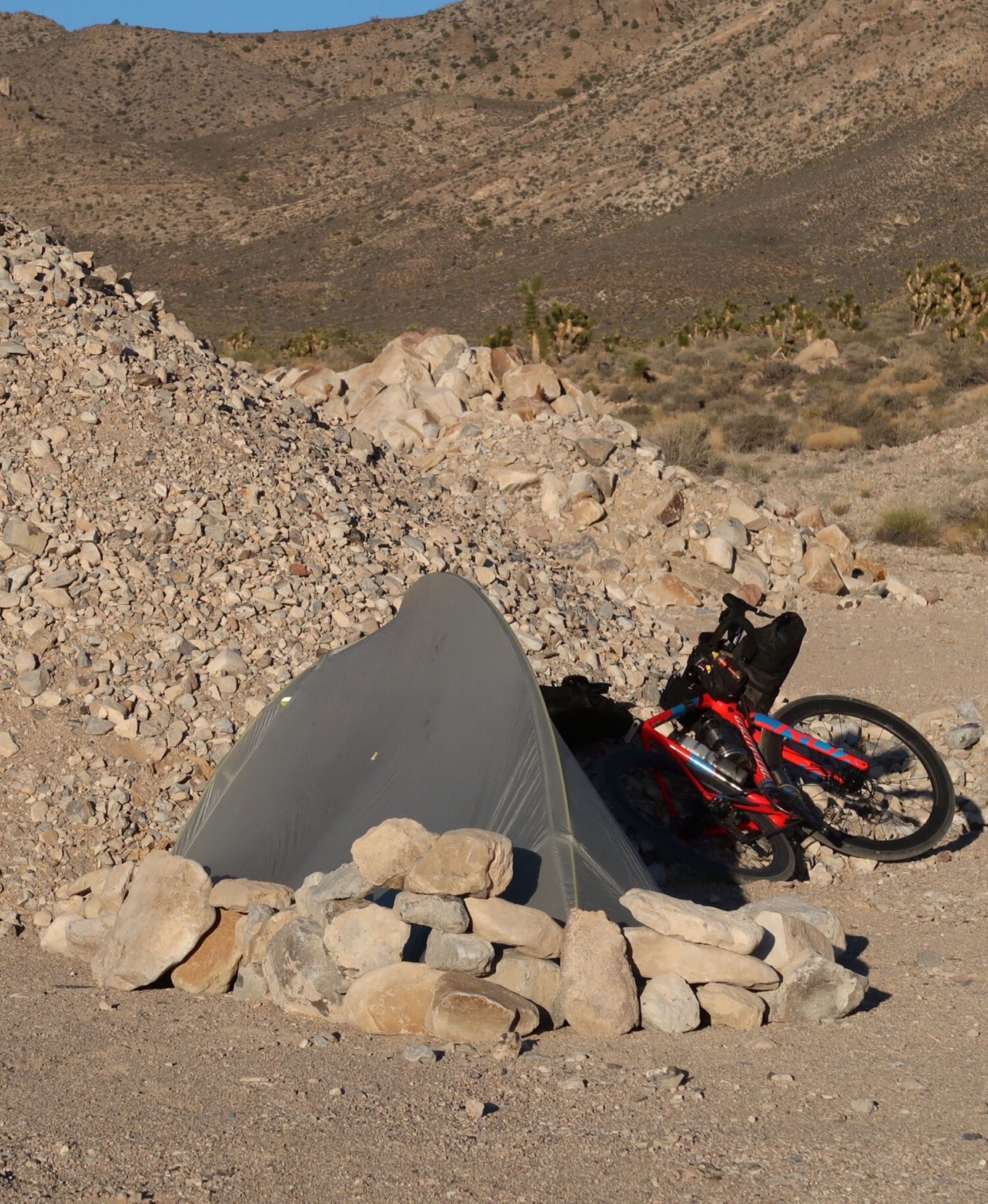
After all the crazy winds, I built a rock shelter around my camp. I really wanted to get a room, but had to keep going once I found the hotel was full!
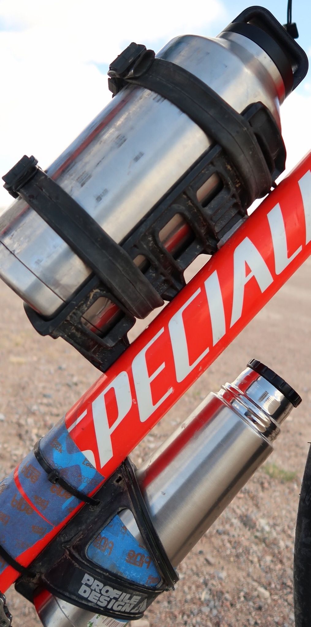
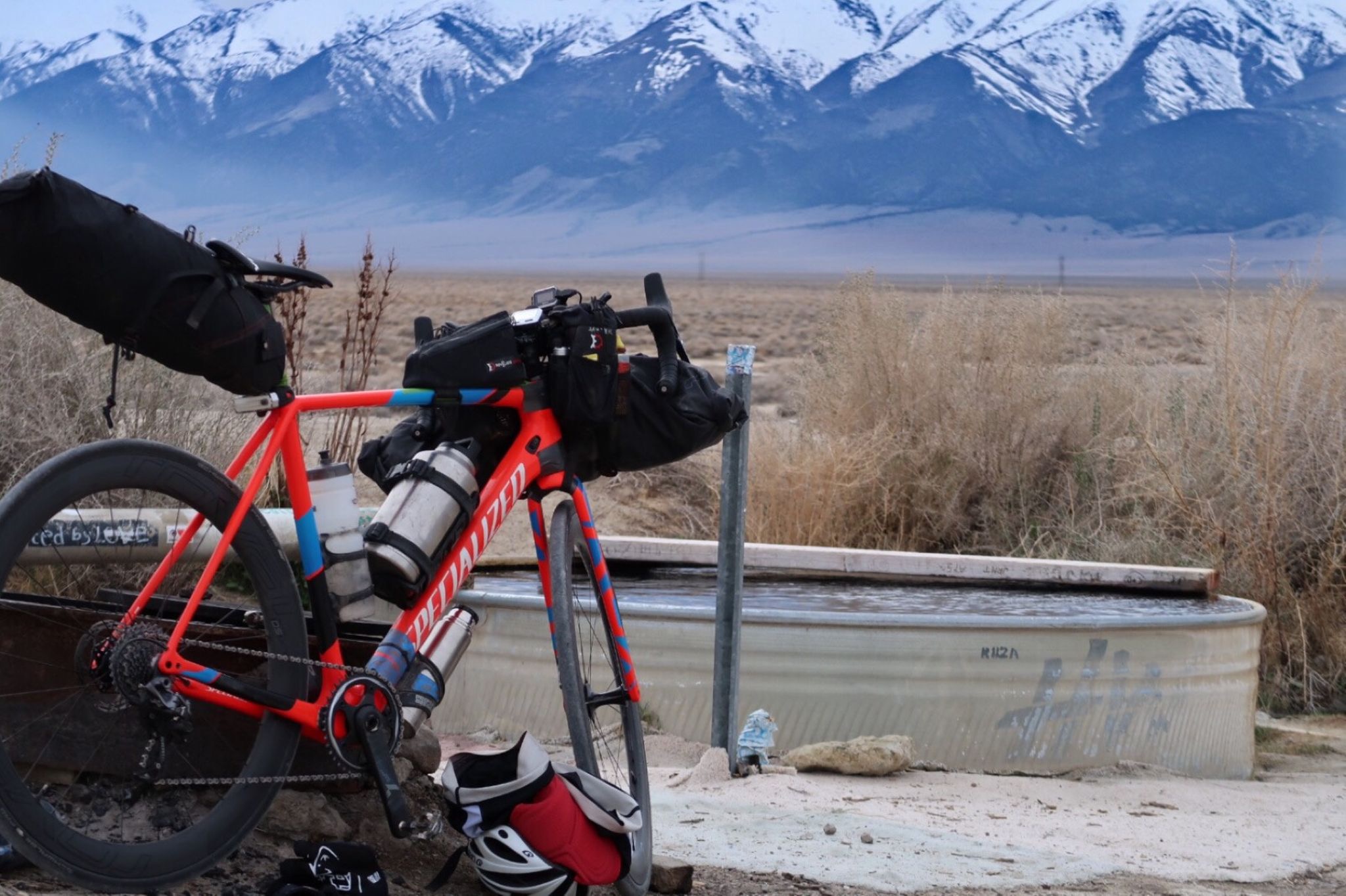
People ask about my water bottle. The larger thermos is 2 liters and amazing. Yesterday it carried hot tea for the 30-40F temps (with wind chill, 26F!). In Death Valley it carried ice water that would stay icy for over 36 hours!
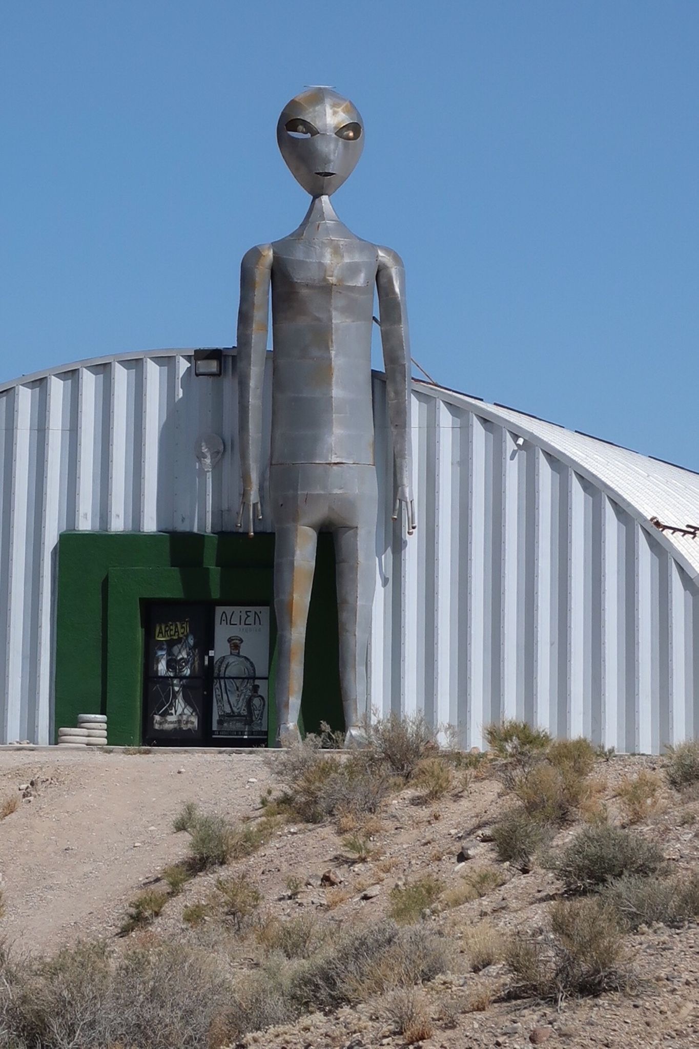
Aliens abound! I went to the Alien research center, and felt very welcomed. I talked with a guy who worked with “troubled youth” at a camp. He said that they have kids who have never poured a bath for themselves. I figured these were some smelly kids – until he explained that it was because their servants do it for them. This camp costs $6000 a month! Anyway, I began to understand a new meaning of what he meant by “troubled youth” after that.
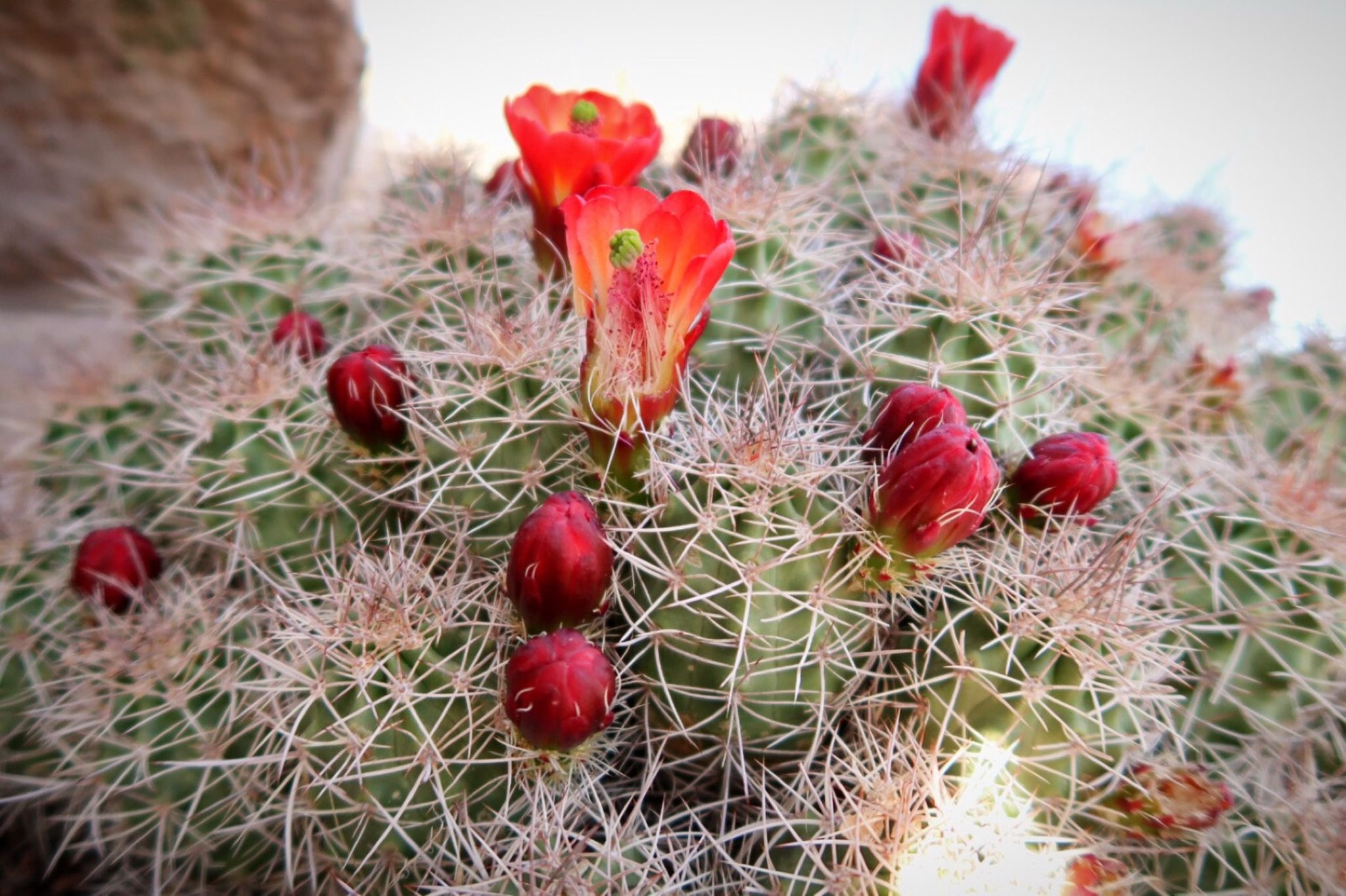
After miles of sagebrush, the scenery suddenly changed.
I went for a hike at Kerahaw-Ryan state park I felt surprisingly light on my feet and easily bounded up the trail.
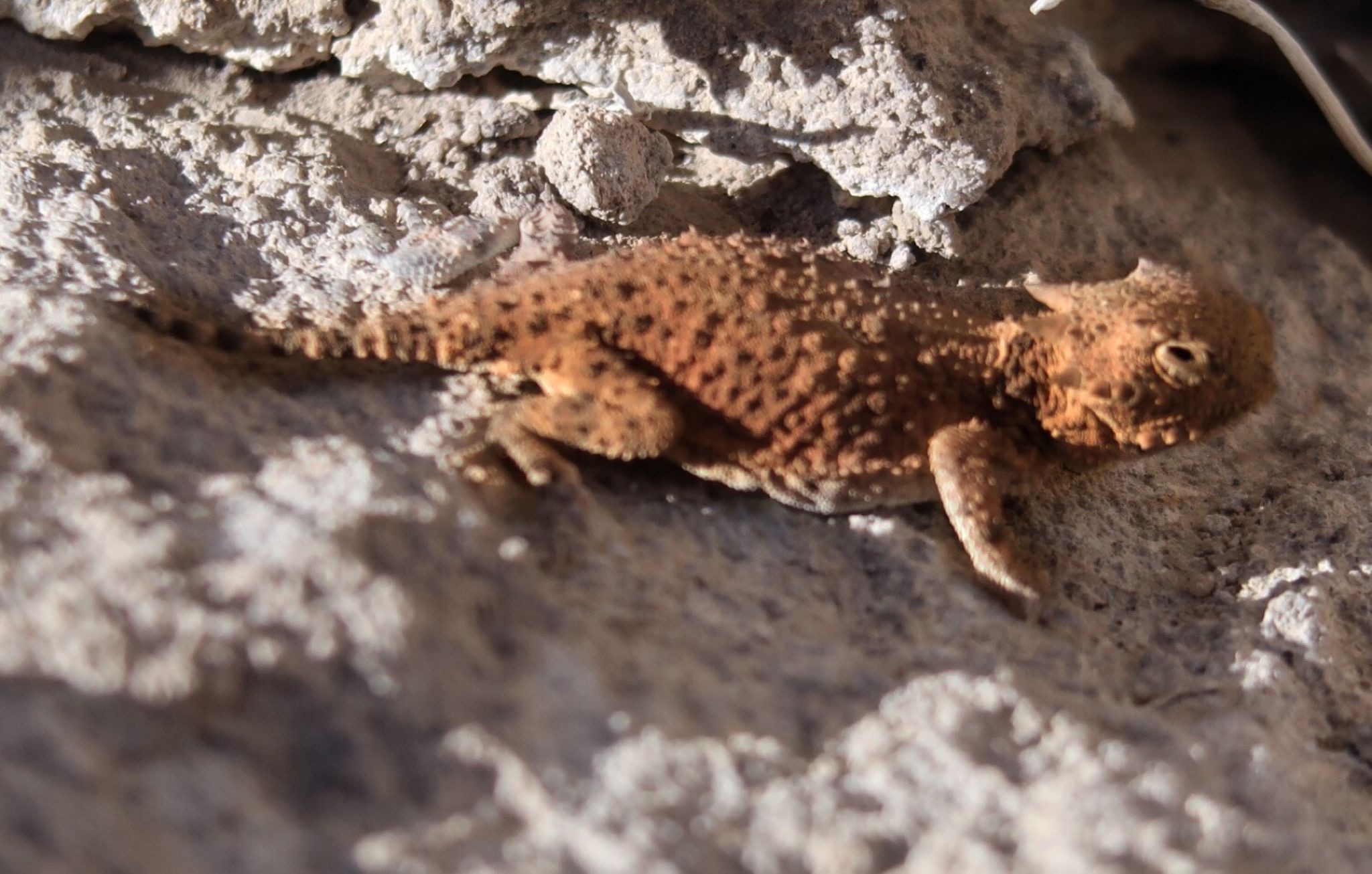
A horned lizard I spotted at Kerahaw Ryan state park.
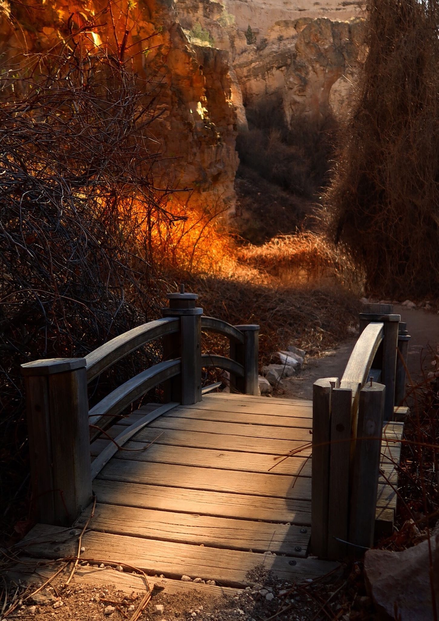
Nice light at the bottom of the canyon in Kerahaw-Ryan state park.
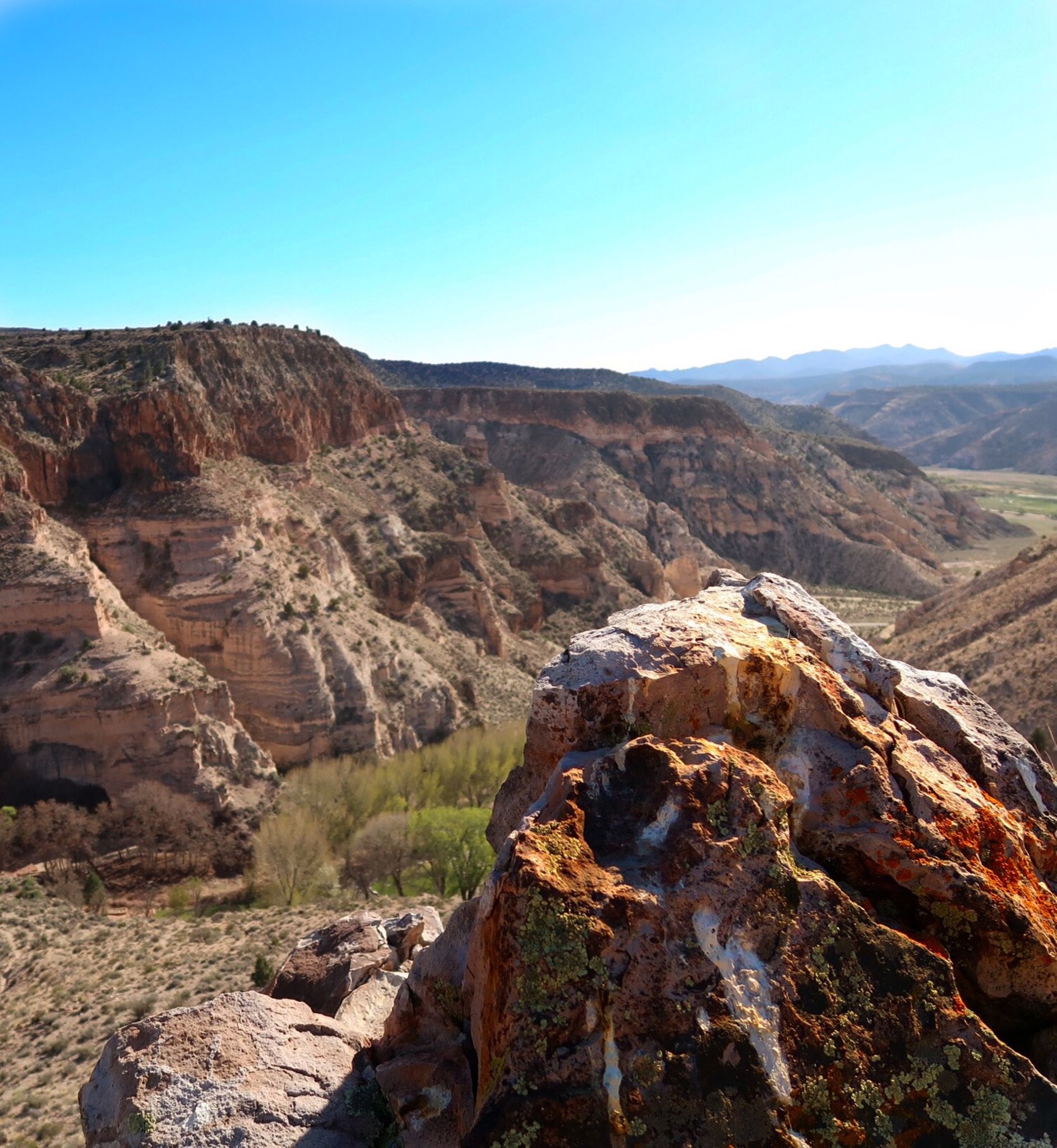
The view at Millers point. There is a lot to do in this area! Lots of hiking and even an Mtb trail (which I didn’t try)
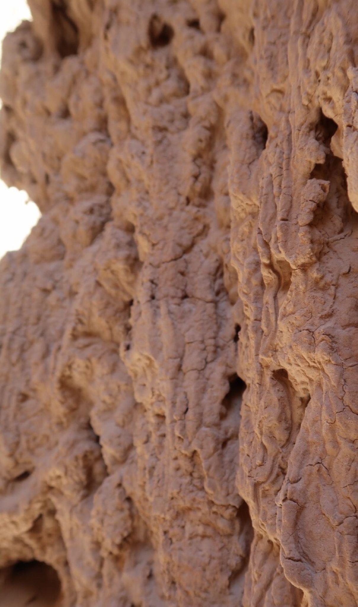
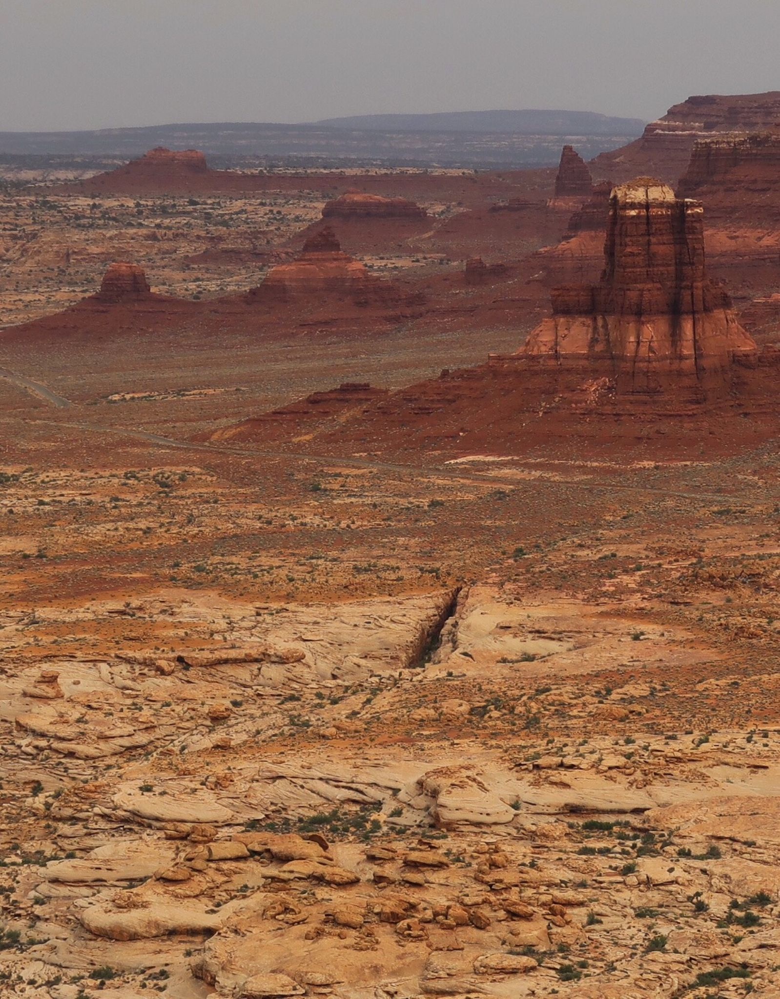
Detail of these amazing formations. This area was 400’ under water in the past.
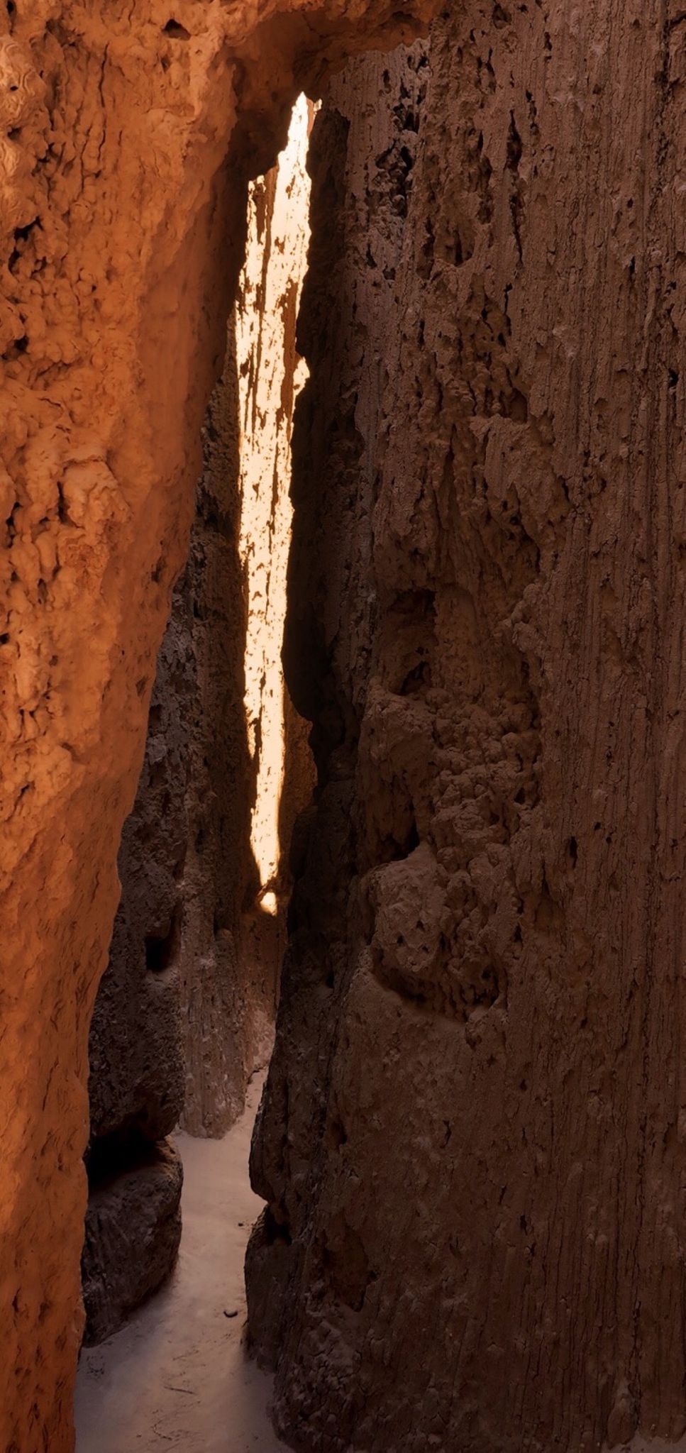
I wandered up and down several narrows in the “moon canyon” part of Catherdral Gorge State Park. There were so many cool nooks and crannies to explore.

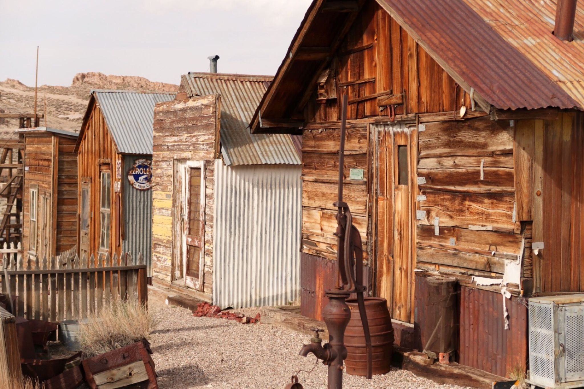
The historic mining town of Pioche. Now, you can rent a themed room at the old motel in town. This would be a good base for some quality road riding loops.
I set up camp on the side of the road. I wish Janet were here – she would like this type of desert camping!
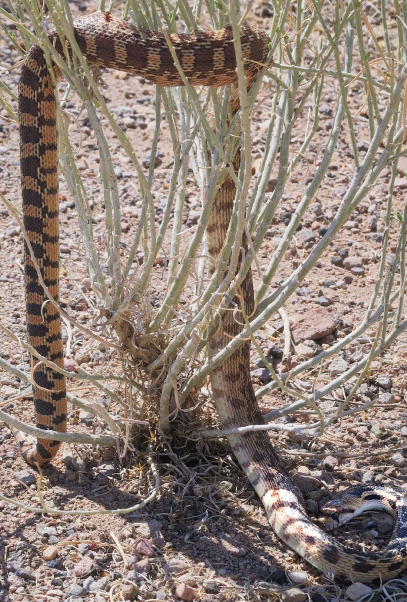
Well, I’ve never seen a snake do this before! I looked at him closely, and I think he is alive.
It wasn’t in the plan, but I met Ernest and Mary at cathedral gorge park. They were on cruiser bikes and were gushing about Echo Canyon. FOMO got the better of me and I’m glad it did! Today was a perfect day, and this was a perfect road ride – a cool loop easily added to the tour.
Welcome to Utah! Glad I’m not drinking any alcohol on this tour. Today was Special because my friends David and Aglaja Peter were driving through town on their way to Moab and beyond for some camping and mountain biking. We met up for dinner at Chili’s. It was great to see them!
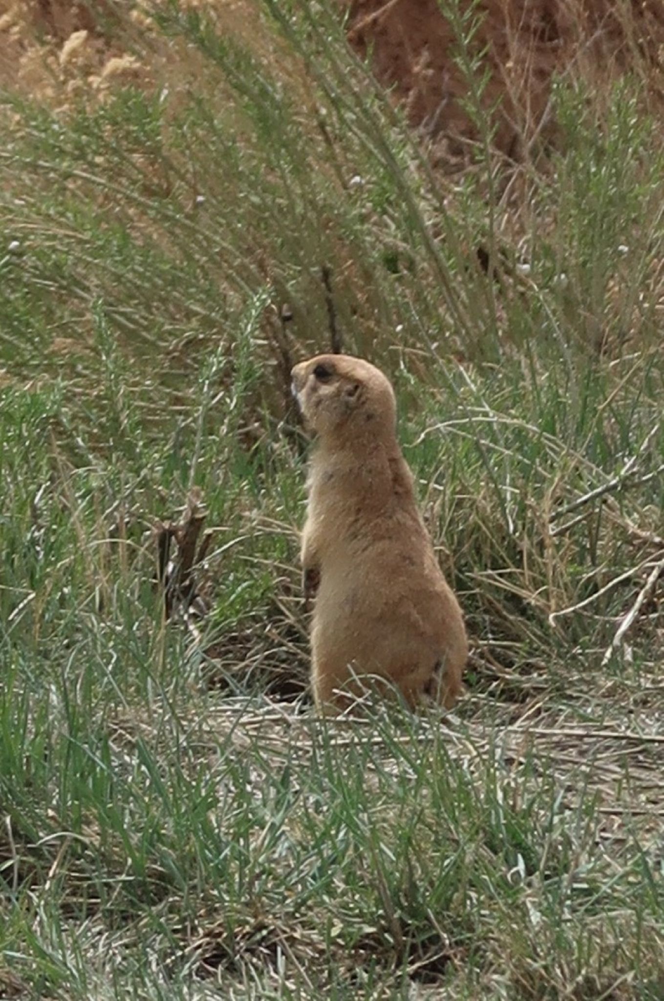
I’m guessing this is this: https://en.m.wikipedia.org/wiki/Utah_prairie_dog
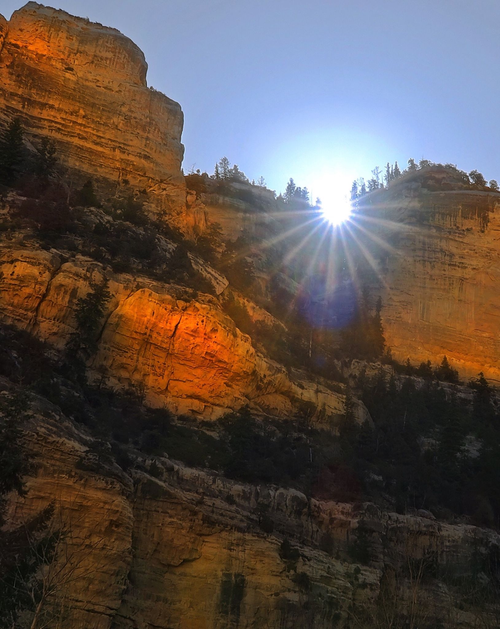
Morning rays while going through the first canyon.
Down on the other side, I had a ripping 40mph tailwind. I could ride 34 mph, and feel the air blowing past me!
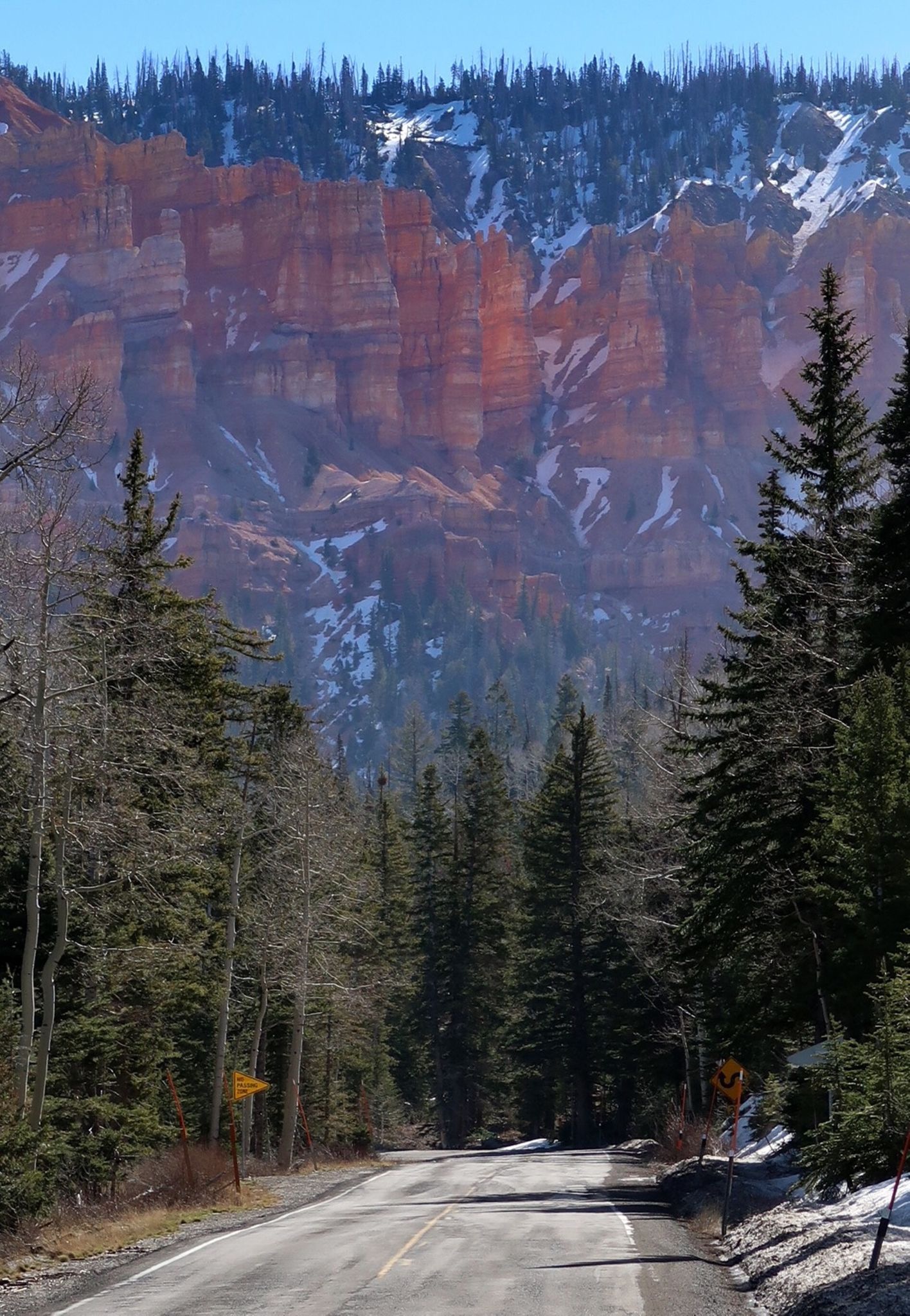
The weather was difficult, but I had fun all the way up the climb. There is something about good scenery that trumps weather (up to a point).
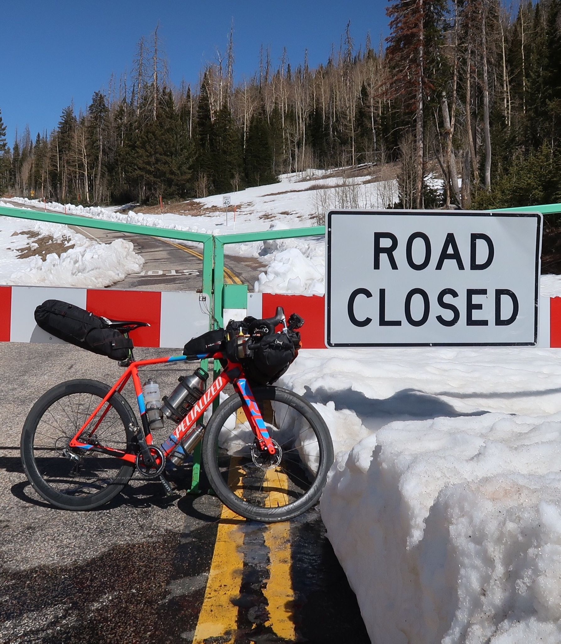
Road Closed? I see pavement on the other side! Well, after a couple miles, the wall of snow got higher – and suddenly the pavement turned to groomed snow. Had to turn around.
Winds were 30, gusting to 50. At the top, this meant some serious wind chill and (lower when there wasn’t snow) quality sand blasting. Later I would find sand inside my bags even!
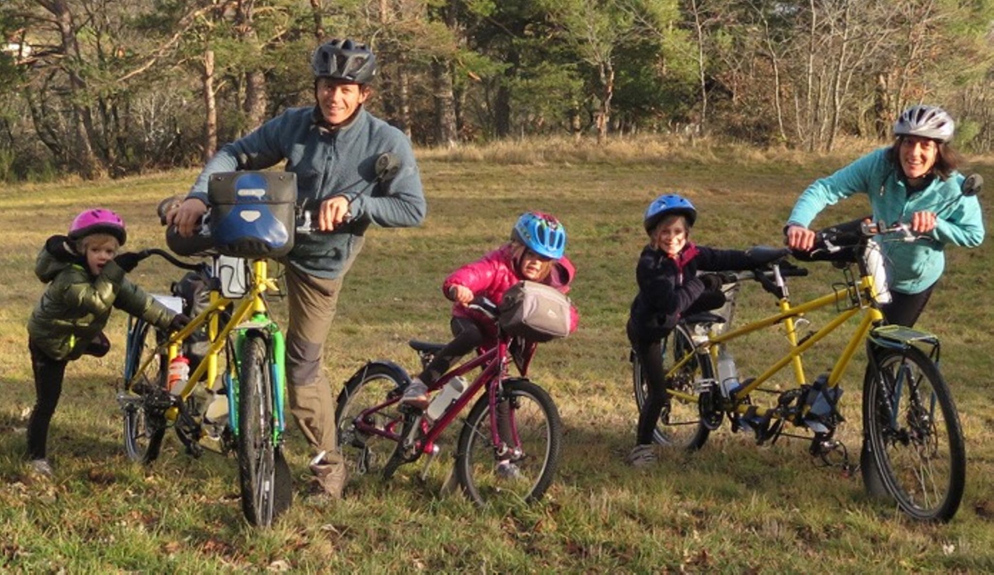
Nineteen years ago, I met Pascal at a library in Kingman, AZ. He and his buddy Luc were from France and touring the USA by bike. My buddy Josh and I camped with them two nights at a baseball diamond. Pascal said, “I have four girls,” Josh and I looked at each other – was France also into this Utah polygamy thing? He reached into his bag and pulled out a tin of Folgers coffee – “four girls. You want?” He said in his French accent. We counted stars at that camp, talked about life, and laughed about how they were living on $6 per day (Josh and I were living on $7 per day). 2 years later, I went touring through Europe with a different friend named Dennis, and made sure to visit Pascal at his tiny home in France. He introduced us to Pastis and showed us his beautiful and meticulous hand drawn plans for a boat he wanted to build. If I didn’t know better, I would have guessed they were computer drawn. He showed us his meticulous daily diary in tiny print and a record of every expense. After seeing his detailed diary, I redoubled my daily writing efforts. Just the other day, he emailed me this picture – He and his family will be biking South America for a year! I admire his can-do attitude and imagine how lucky his children are to have this experience. By the end of that year, they will surely know how to speak French, Spanish, and English… have learned first-hand about other cultures, and history… and have a little fitness on their side. If you have google translate in your browser (or already know French) here is their blog: www.envourchonsnosvelos.wordpress.com
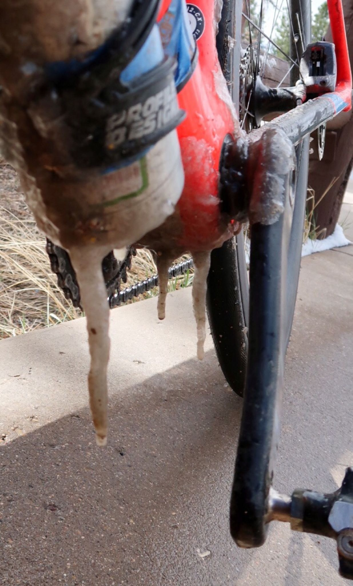
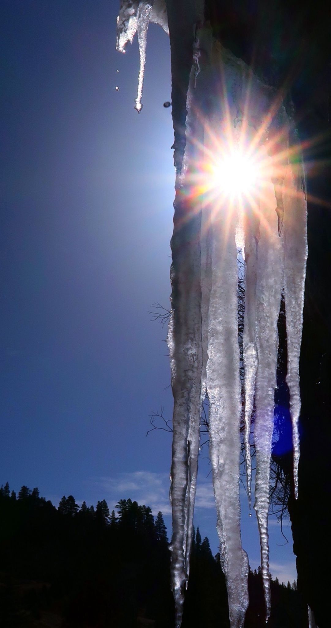
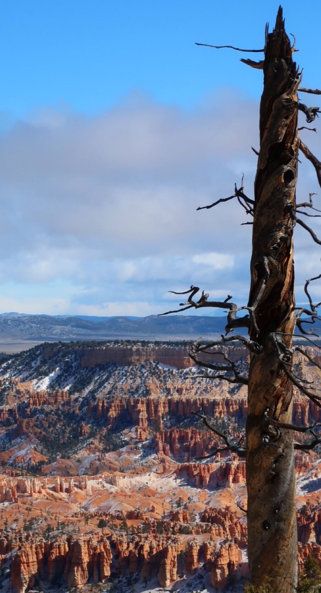
Ice beard on my bike! Today started out with a blustery snowstorm. I had arranged a one way shuttle to Rainbow point – but when I arrived, the shuttle had been canceled due to the ice and lack of visibility. The first part of the park was still open to private vehicles. I bought a new pair of gloves at the park store, and wheedled some trash bags for my feet…
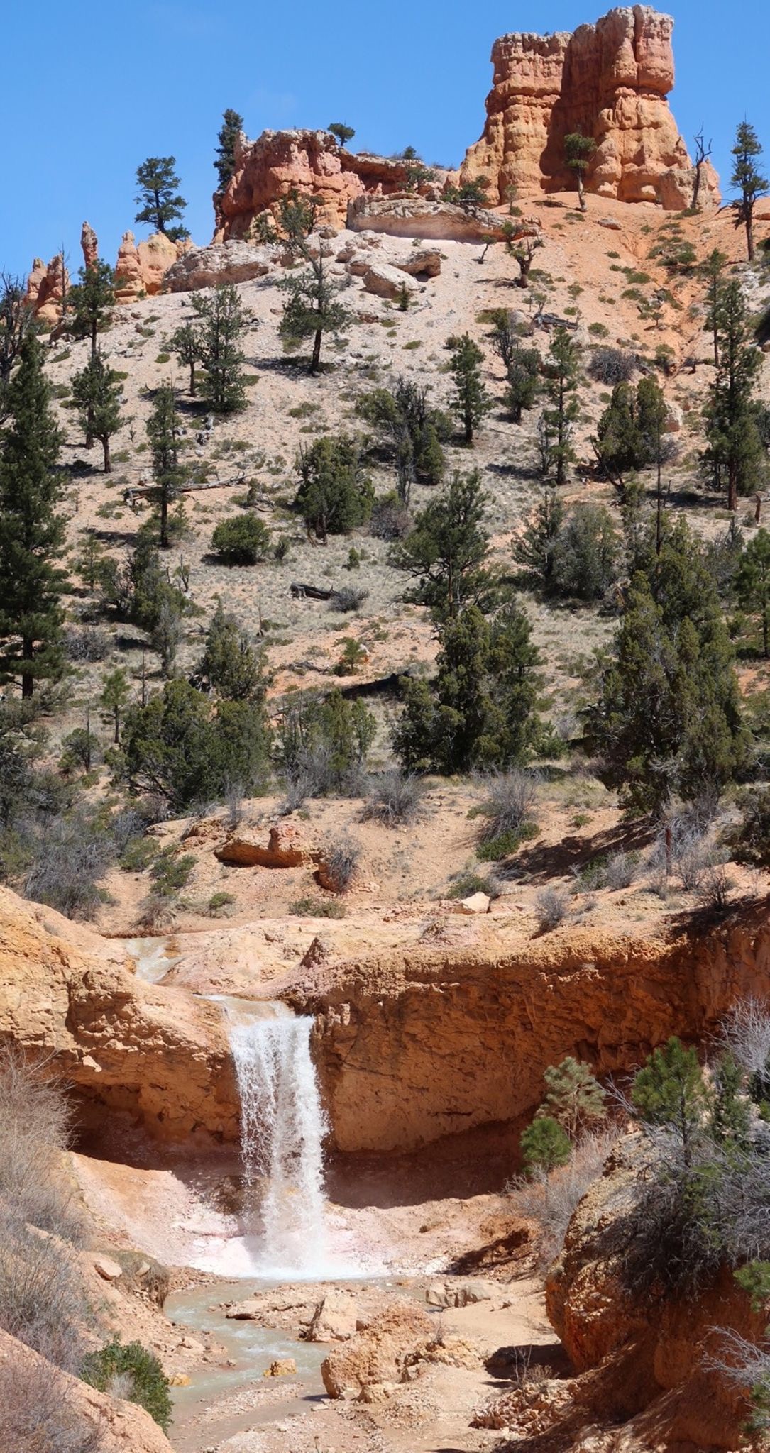
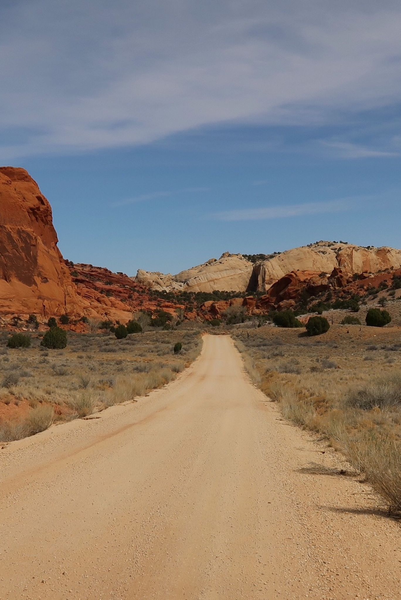
From there I visited Mossy Falls and then headed into the land of rock. In Escalante, I met a couple who were volunteers at Capitol Reef – Ed and Fran. Their job was to hike trails all day and talk to people they meet – not a bad job! Ed had ridden the great Divide 2 years ago with an American Cycling Association group.
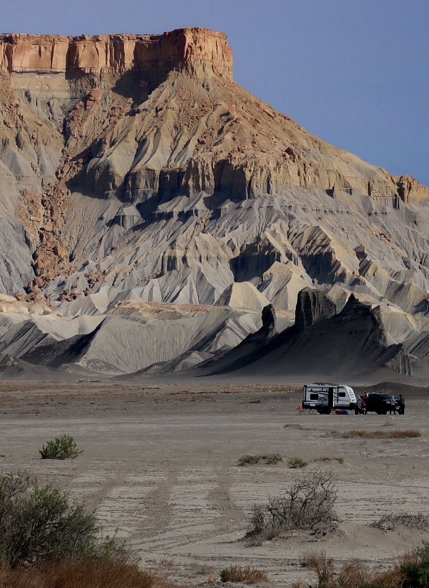
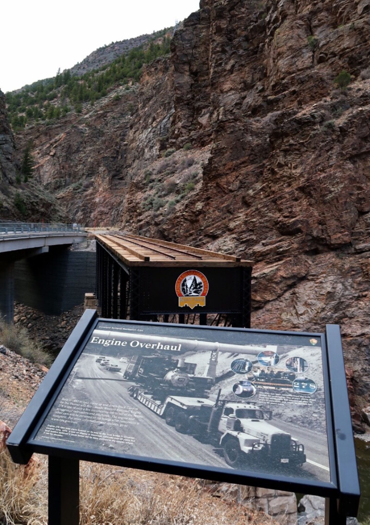
This sign board finally explains why so many of this historic sites I have visited were at one point “400 feet below water”.
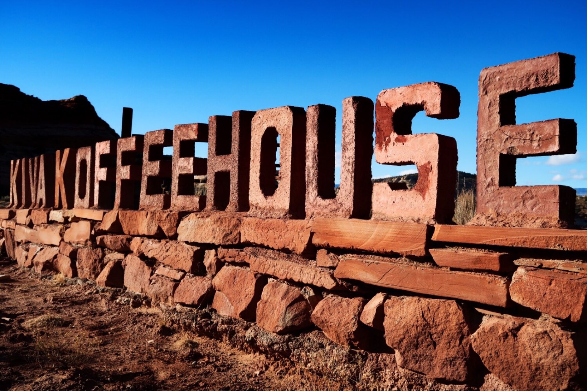
I saw this place on Scott Paulker’s blog, and this had to take a photo. They have a cabin for rent, but I headed to a campground – and glad I did…
I made it to Calf Canyon campground – but it was full. On my second pass, I started to ask a couple if I could camp near their site – but before I could ask, Gail and Gary were already offering a spot. They were from Fernie, Canada, and we shared a ton of stores – one of which was that we both knew Paul Attila from Fernie (I met him the night I arrived at seven eleven on the tour Divide Race). Paul has ridden the Divide twice. Plus, he rowed a boat across the Atlantic… so there is that. We had an evening filled with fun conversation- they even knew the Vice President Of Dexcom (the company that made some of my diabetes management gear). They said he build an 11,000sf vacation home in Fernie and is the only house with a pool. Hmmmm, makes me wonder where all my money has been going.
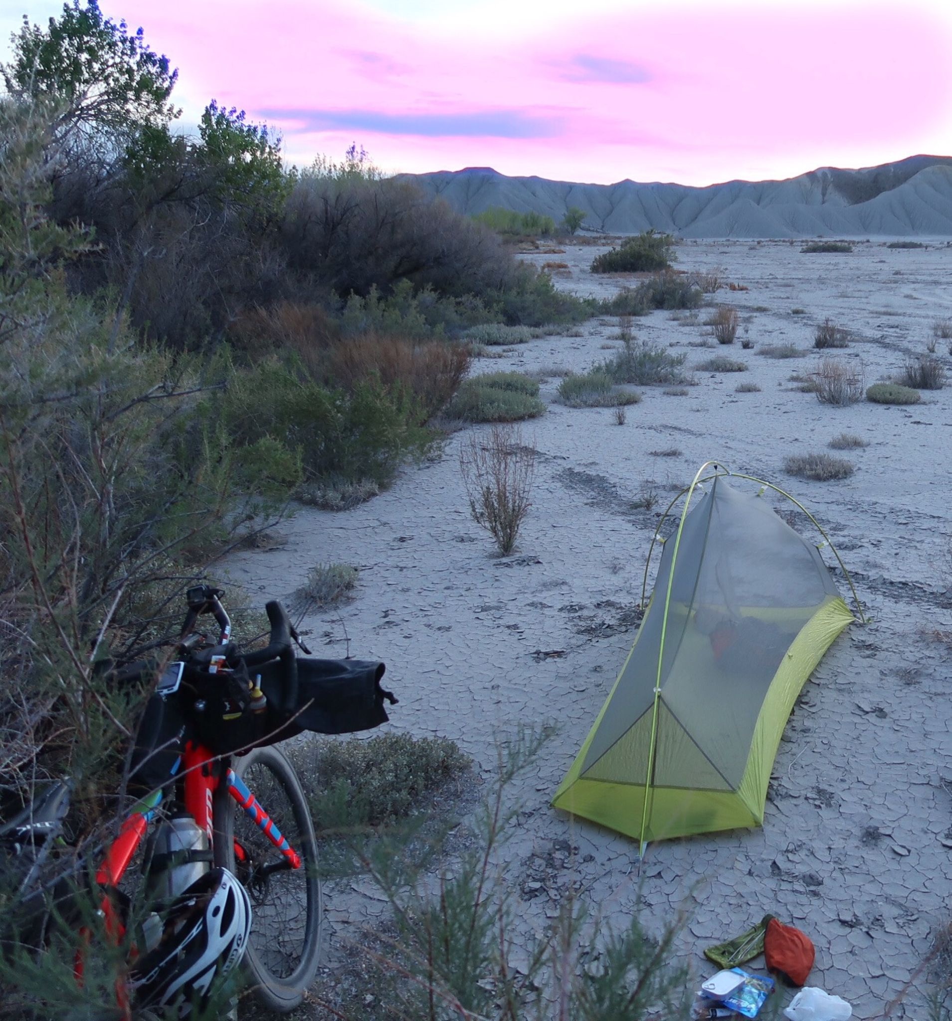
The wind was calm, so i decided to camp out again.
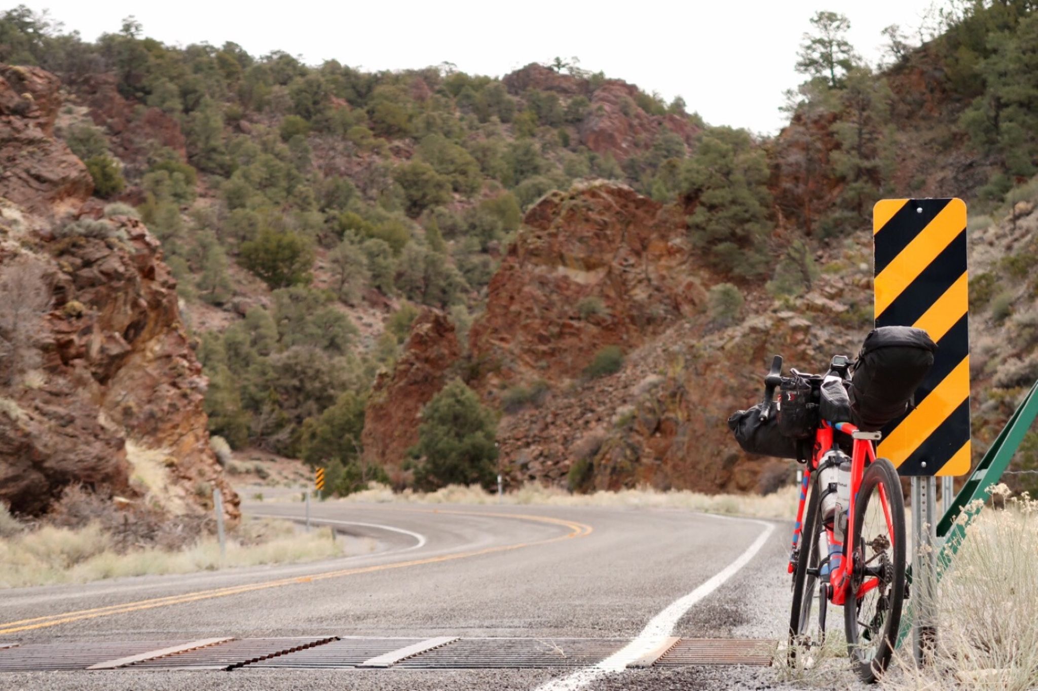
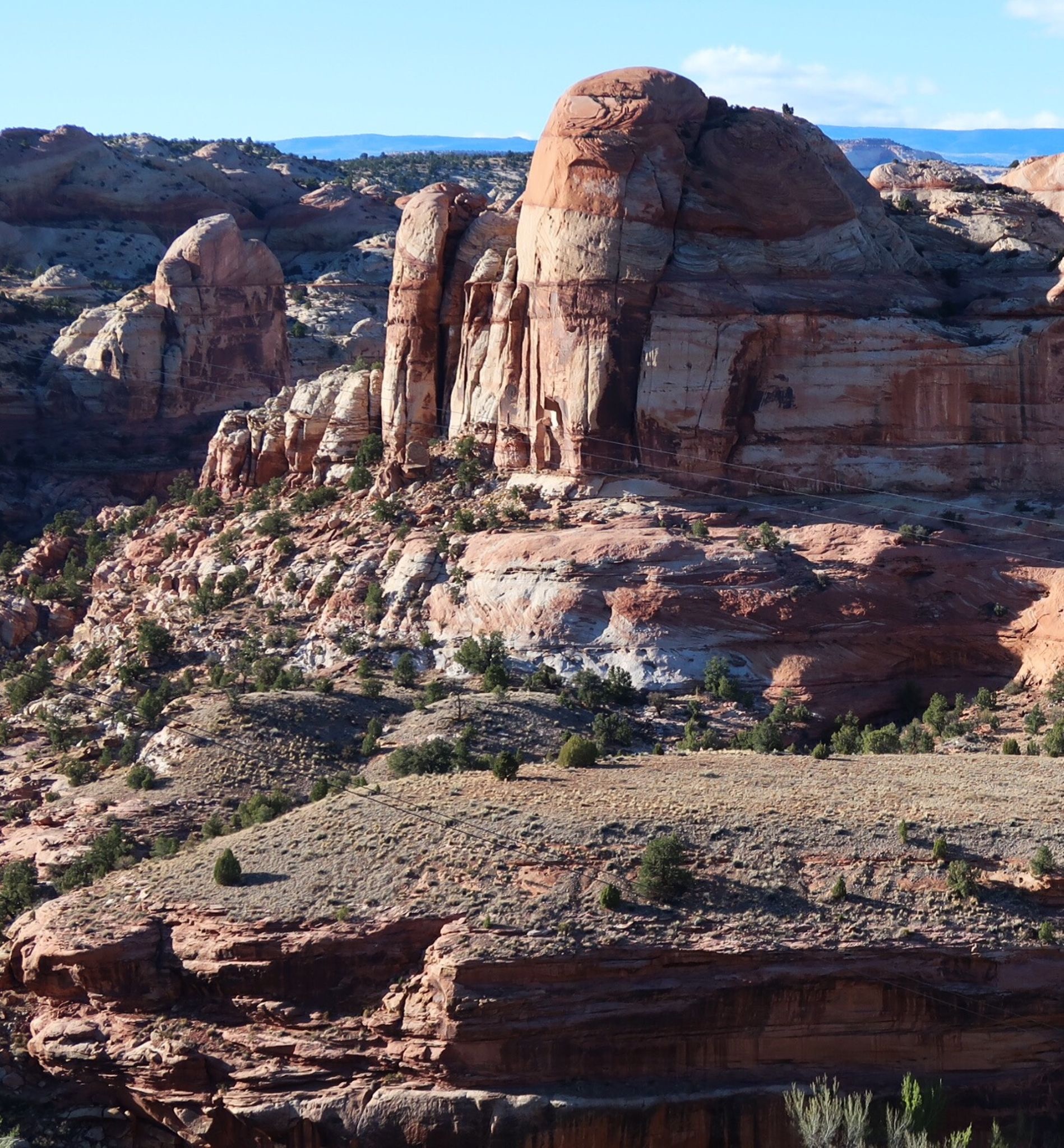
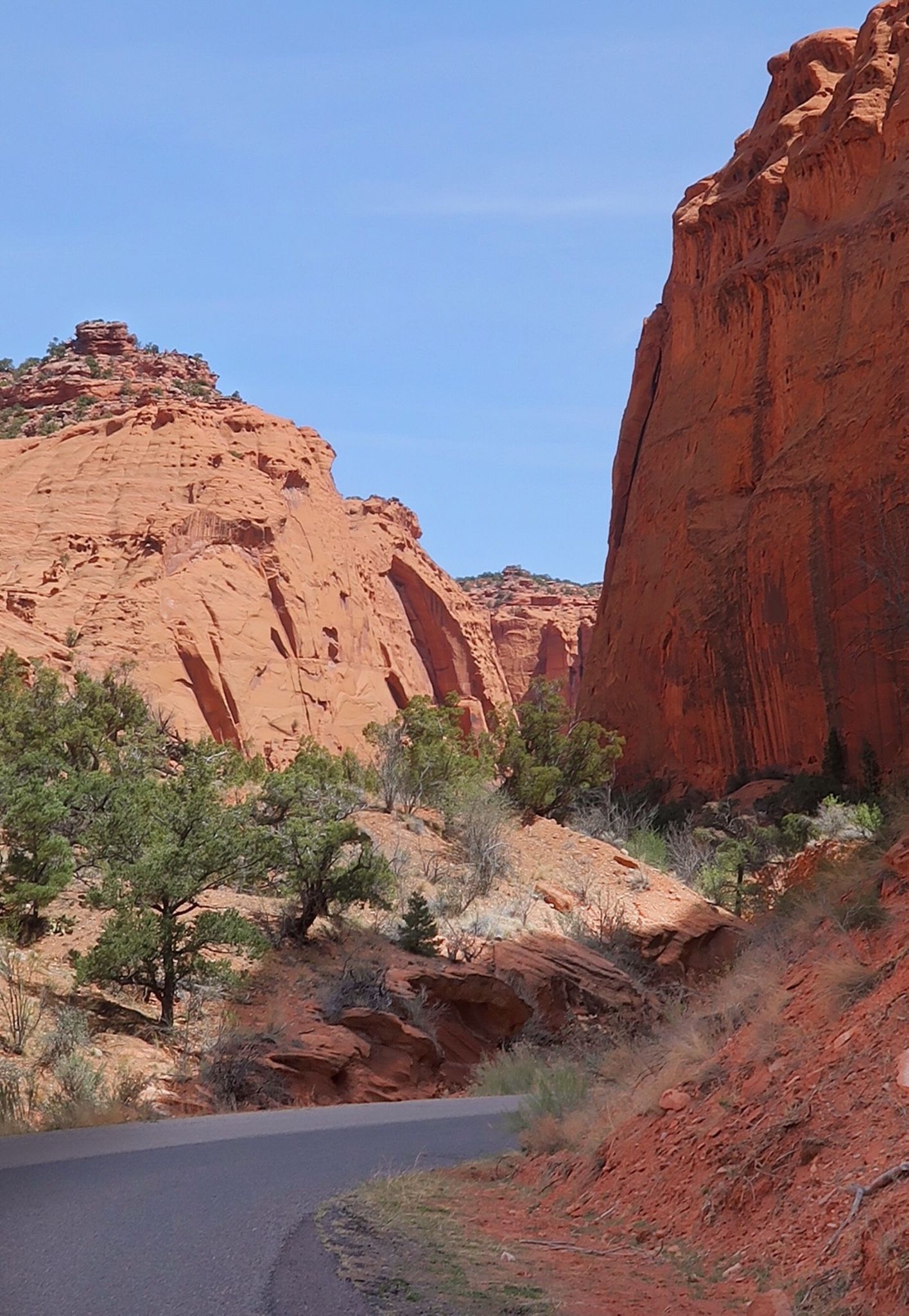
I have a penchant for taking the wrong bike for the job – and extending its capabilities. Today was no different on the 20 miles of sandy, washboarded Burr trail. I’m glad I did it, though, as it was prettier than I had imagined. Photos can’t capture the scenery, so you’ll just have to visit. n
This is along the Notom Road that connects to the Burr Trail.
Along the Burr trail, one of the few cars I saw were Fran and Ed who I had met yesterday. They brought me water, and although I didn’t need it, i took a small aliquot. It was good to see them again, as they are super friendly. You may remember the Kiva Kabin I mentioned yesterday? Well they had stayed there last night for their 40th anniversary, and it was $200/night – so glad I camped instead!
Later on, I caught up to a bike tourist named Martin. We rode together for a bit. He is from Slovakia, and he said I was the first American he had met who knew where Slovakia was. The appreciation and smile on his face renewed my interest to pay attention to the little countries. We exchanged stories of Kofola, Peter Sagan, and Bojnice. He had started in LA and had ridden through Death Valley as well. We rode together a bit and he will go to Yellowstone, Oregon, and then pass through our hometown on his way to LA. I hope he pays a visit.
The Burr trail before it becomes dirt. Not bad!
I decided to ride the Burr trail from Boulder – and I’m glad I did. Part way down, I met a guy named Alex who was hiking the Hayduke Route. It’s not a trail, he informed me, and he cited having to do a lot of bushwhacking. He would be following the creek where we met, and I could see that he had a lot of thrashing ahead of him. n
Today I said goodbye to Gail and Gary and headed off to Boulder. The lady at the store said it got down to 16 F last night.
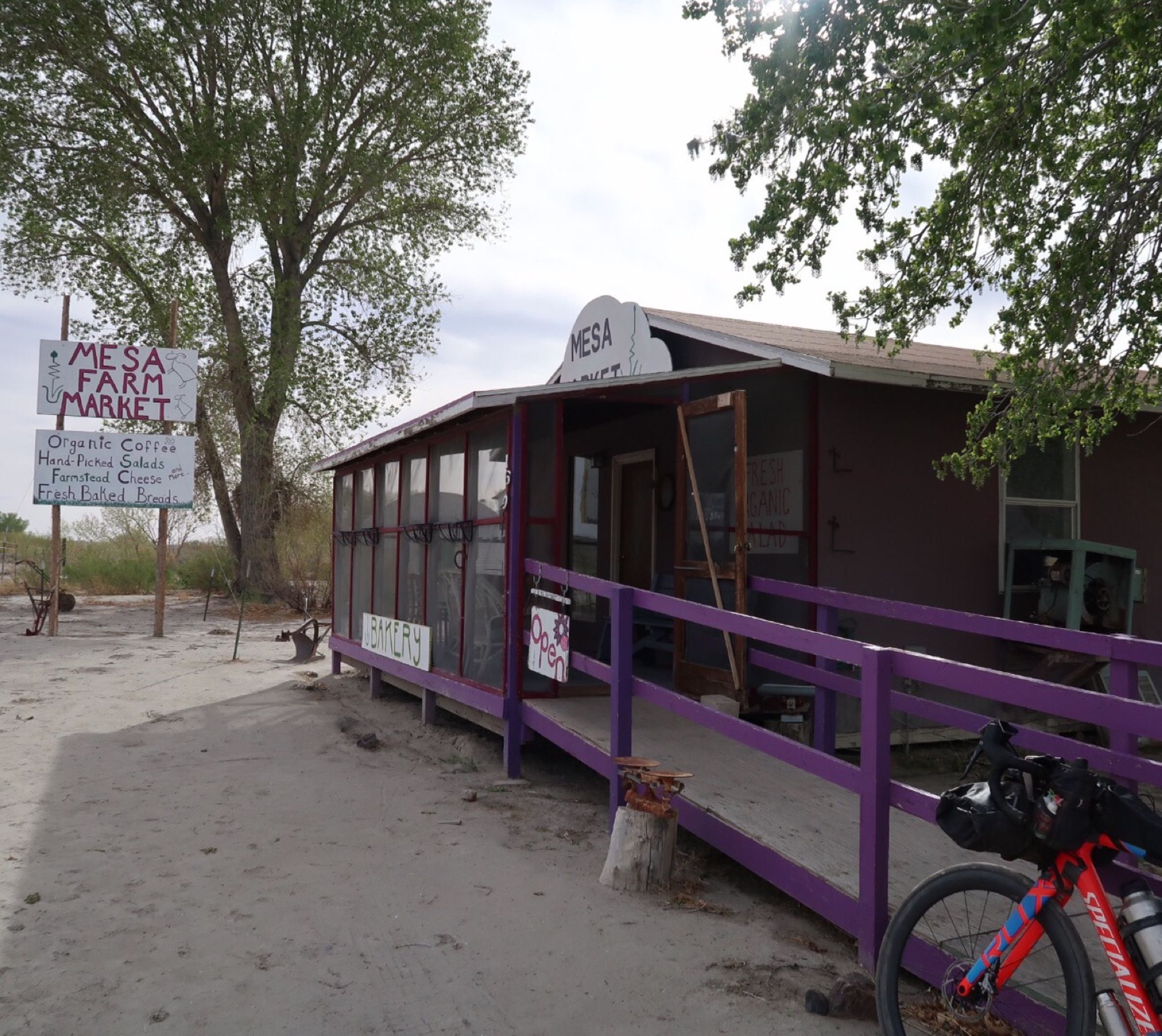
This was going to be a long stretch of no resupply, so I studied the satellite/ street view and found this Mesa farm market. Surely, they wouldn’t be open, right? Janet called ahead and they promised they would be open. When I arrived. All they had was yogurt, pastries, coffee. So I got some great goat milk yogurt and extremely strong coffee from Randy. The best part of the experience was having the coffee buzz come on and talking to Randy about how the nearby city named Torrey got “dark sky” status, which led to a conversation about exo-planets, ketosis, transgender issues, Native Americans…. I learned a lot from him, and we must have similar interests or have been listening to all the same podcasts!
Kind of a moonscape along the corridor heading towards Hanksville. The nearby locals kind of talked the town down, but I was really pleased with the few people I met.
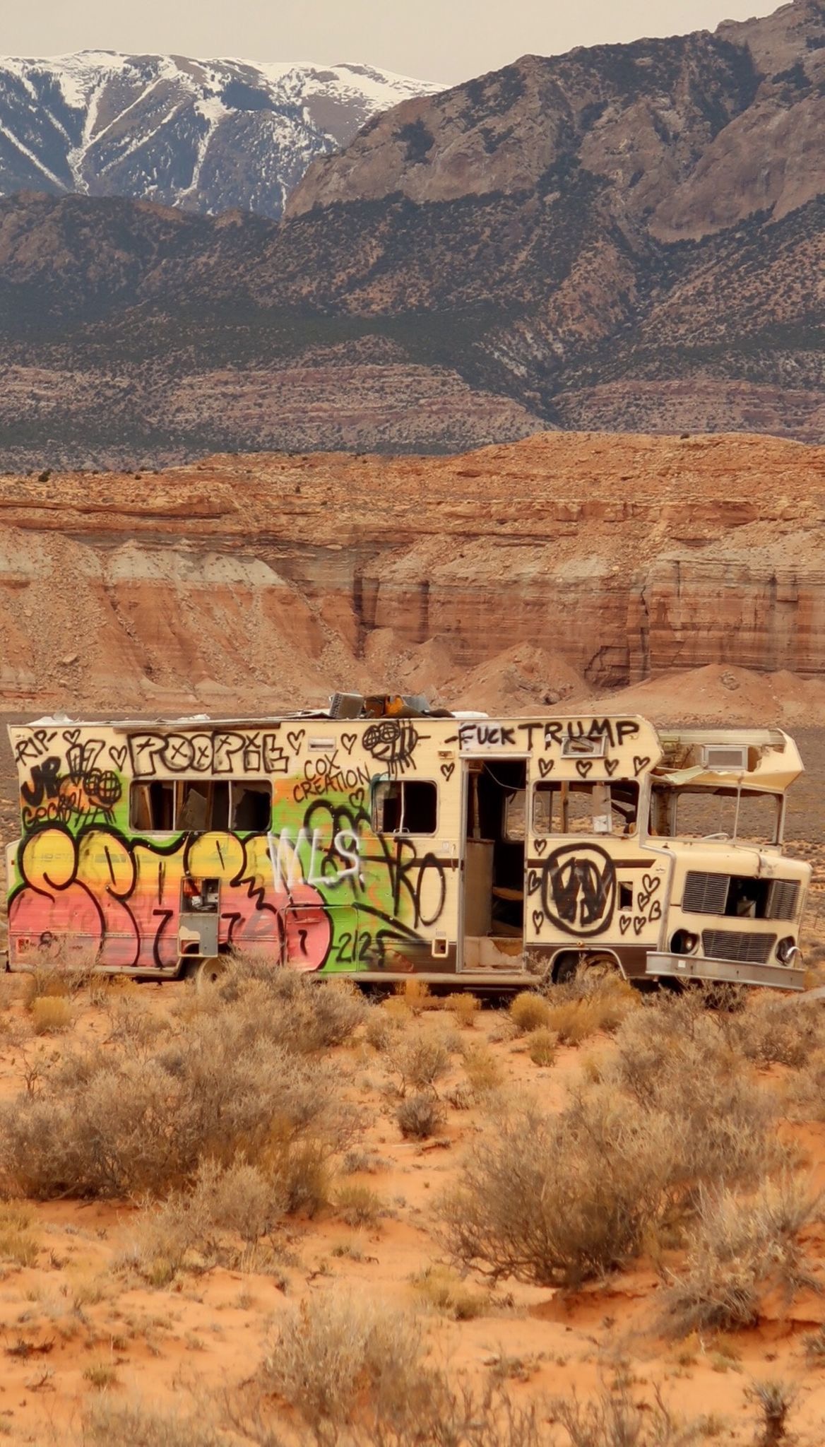
On researching my trip, I found a waypoint for “tourist attraction” along my route – the magic bus. WTF. Well anyway, here it is. I know Strava is a “Family channel,” so pre emotive apologies for the Trump commentary on the vehicle.
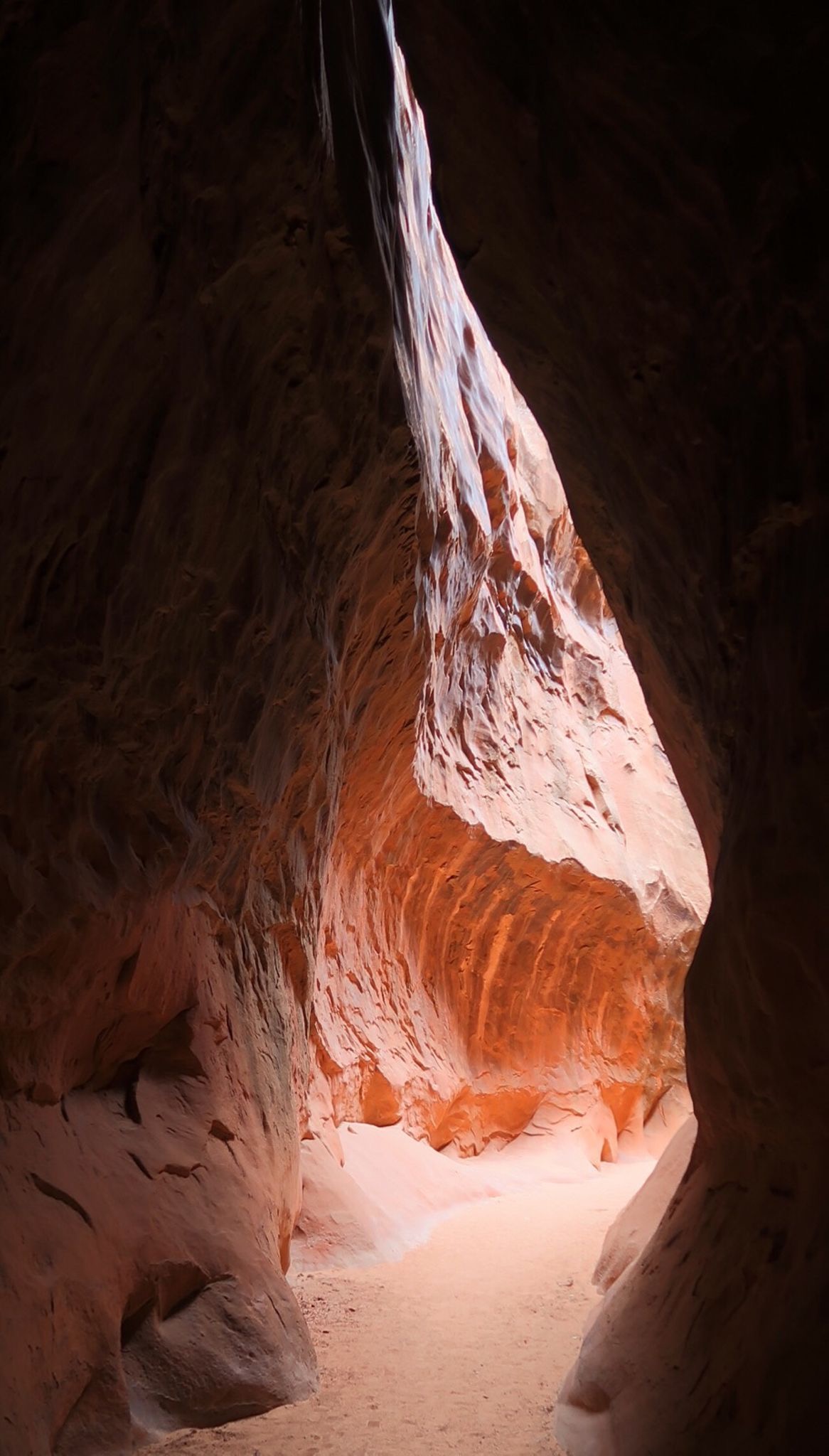
I took a hike up Leprechaun Canyon. Glad I did, as it was eerie squeezing between some gaps only a foot and a half wide! It was unmarked from the road, but I had found it online in my prep.
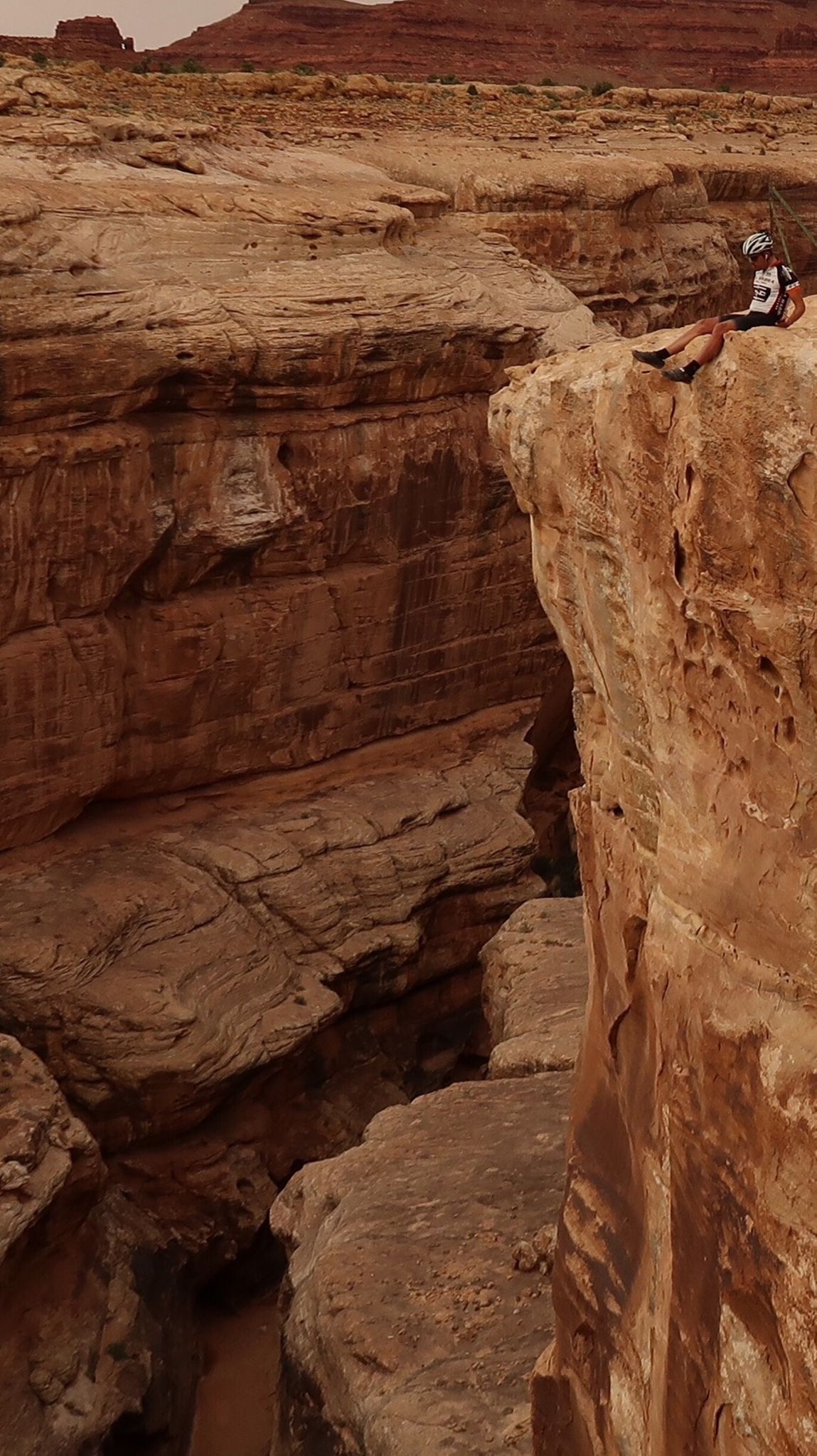
I didn’t get this picture quite right. My camera has remote control abilities, but the WiFi did not reach from the bridge to the cliff. I gave up on the shot, but then realized I could use my WiFi router as a bridge and placed it about half way between me and the camera to trigger a shot. In looking at the picture, though, I should have sat at the very edge – but that would have been scarier.
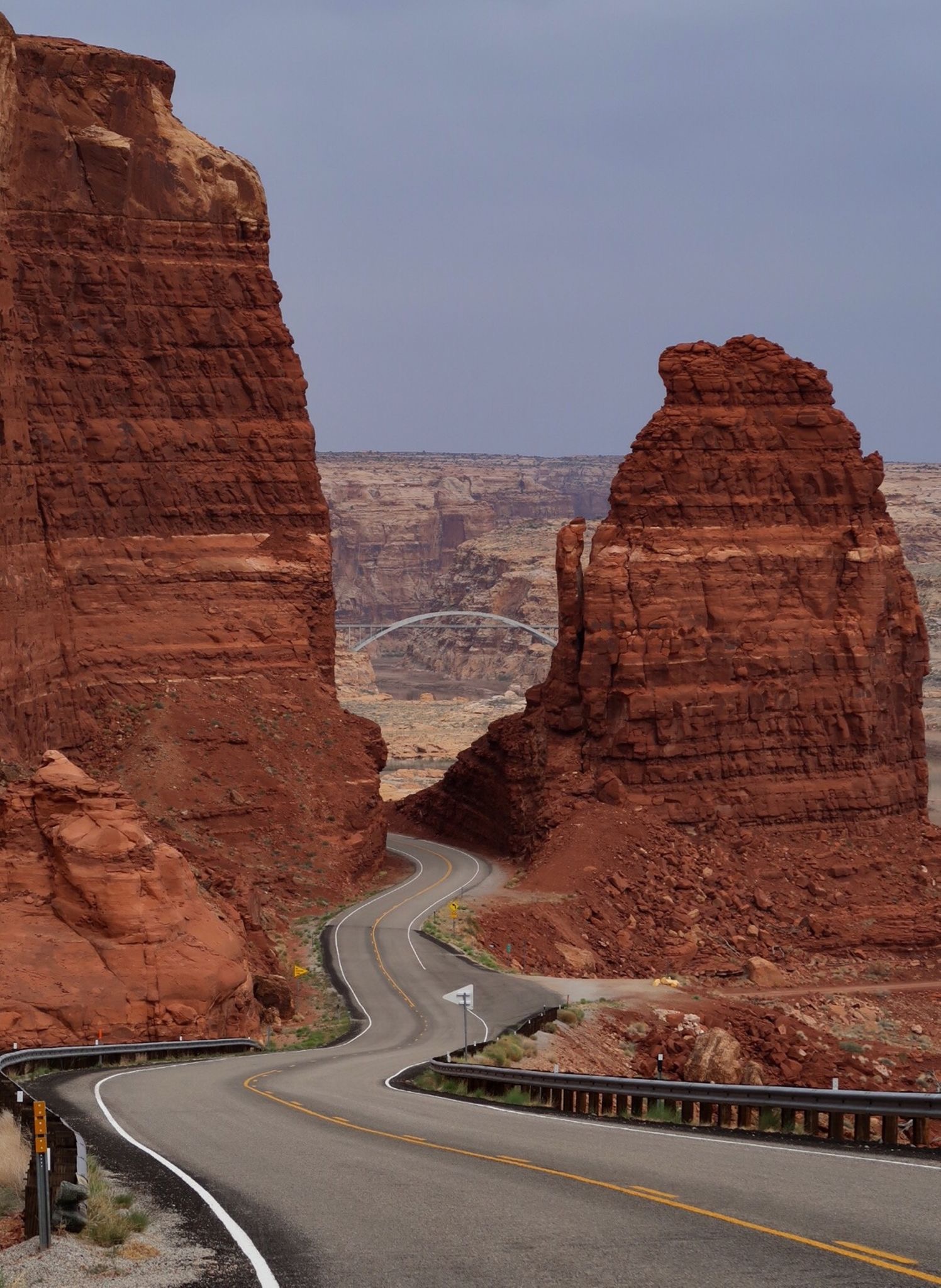
Coming down to the Colorado River!
Winds became ferocious in the afternoon. Some gusts blew me to a complete stop. Then I had hypoglycemia from pedaling so hard. Then my tire punctured. It was looking like it would be a perfect storm of badness, but I just picked the glass out of the tire and rode on as it sealed up. Yes!
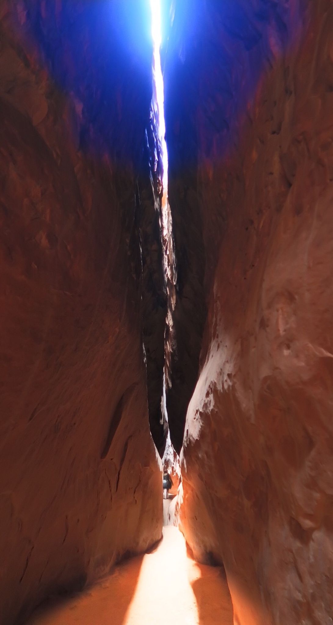
Leprechaun Canyon.
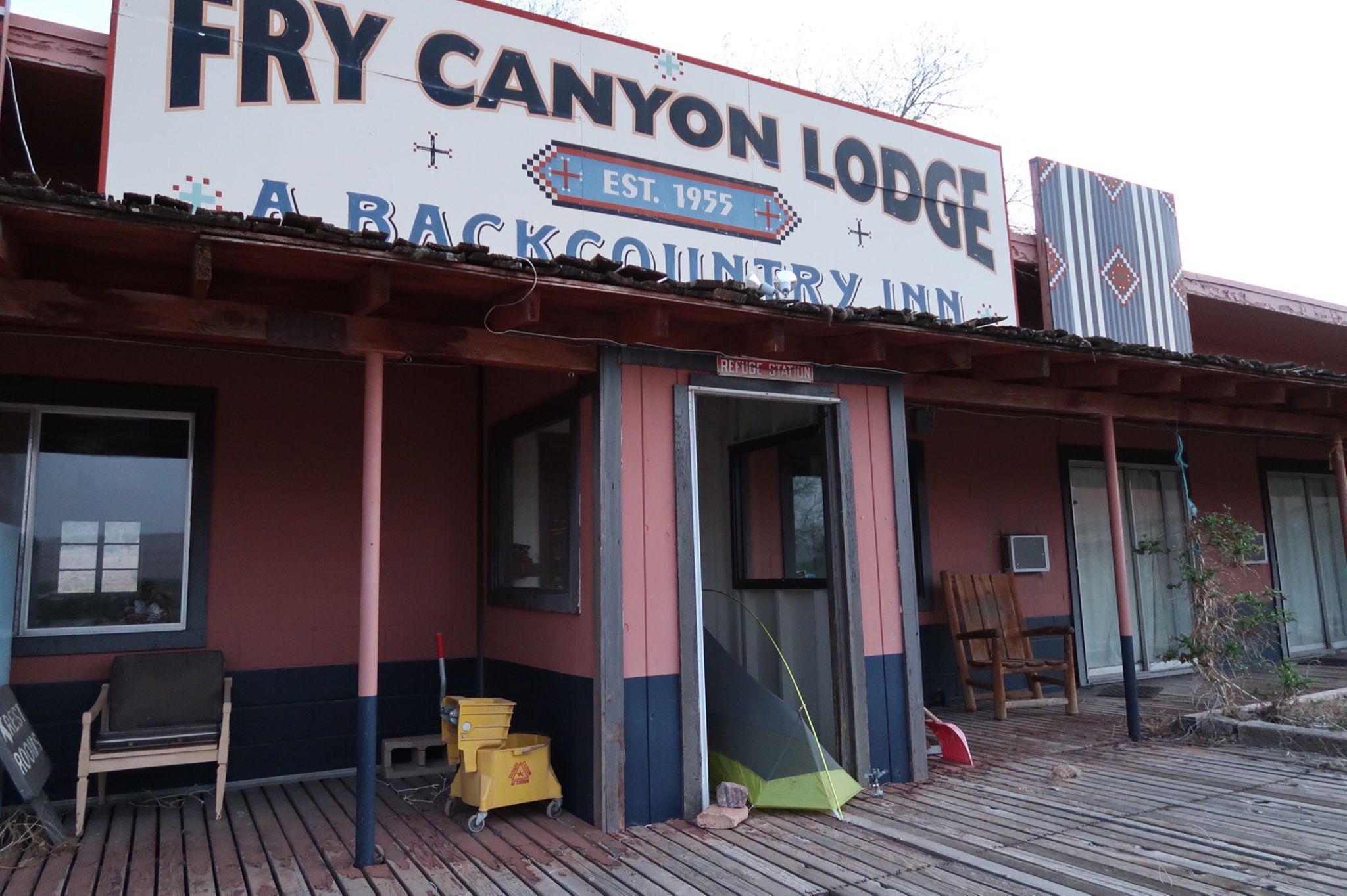
See my tent? I knew this place was closed for years, but sought shelter from the atrocious winds. It worked! Unfortunately, there was a large rat living under the floor boards, and I could hear him munching away. I had to clean up dander from the area before placing my tent, and spent some time worrying about hantavirus.
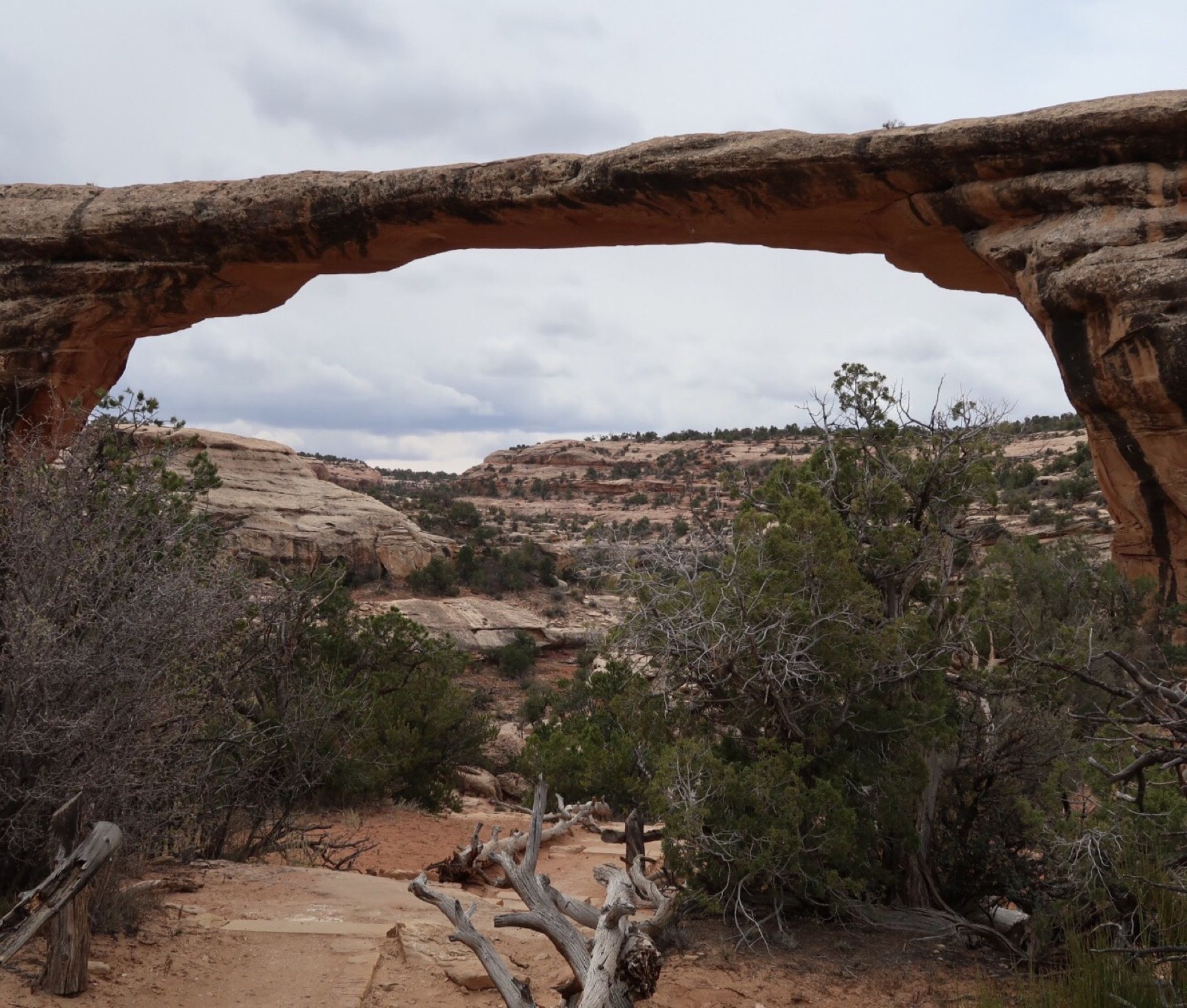
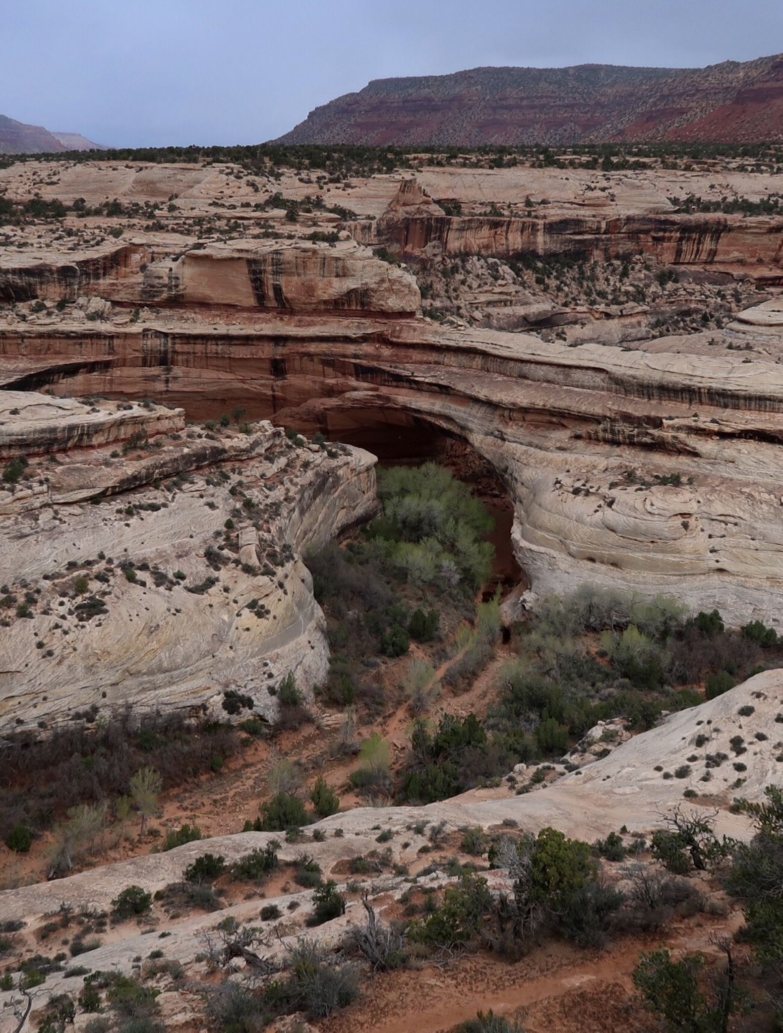
I made a side trip to Natural Bridges National Park. Today (April 21) is free national parks day, so get out there! All this rock you see used to be ancient windswept sand dunes, but over time, water seeped in carrying chemicals that cemented it forming sandstone.
A quick side trip to Mule Canyon Ruins – just off the highway. At the time, I did not realize there is quite a bit more to see with a hike: http://climb-utah.com/CM/mule.htm … maybe they are not advertising it to keep too many people from going out and causing damage. Looks like a beautiful site!
Bridges and arches are both formed by water, but the bridges here are formed by tight bends in the rivers, and the water just eventually wears through the sand stone making a shortcut in the wall. Now the river has changed course.
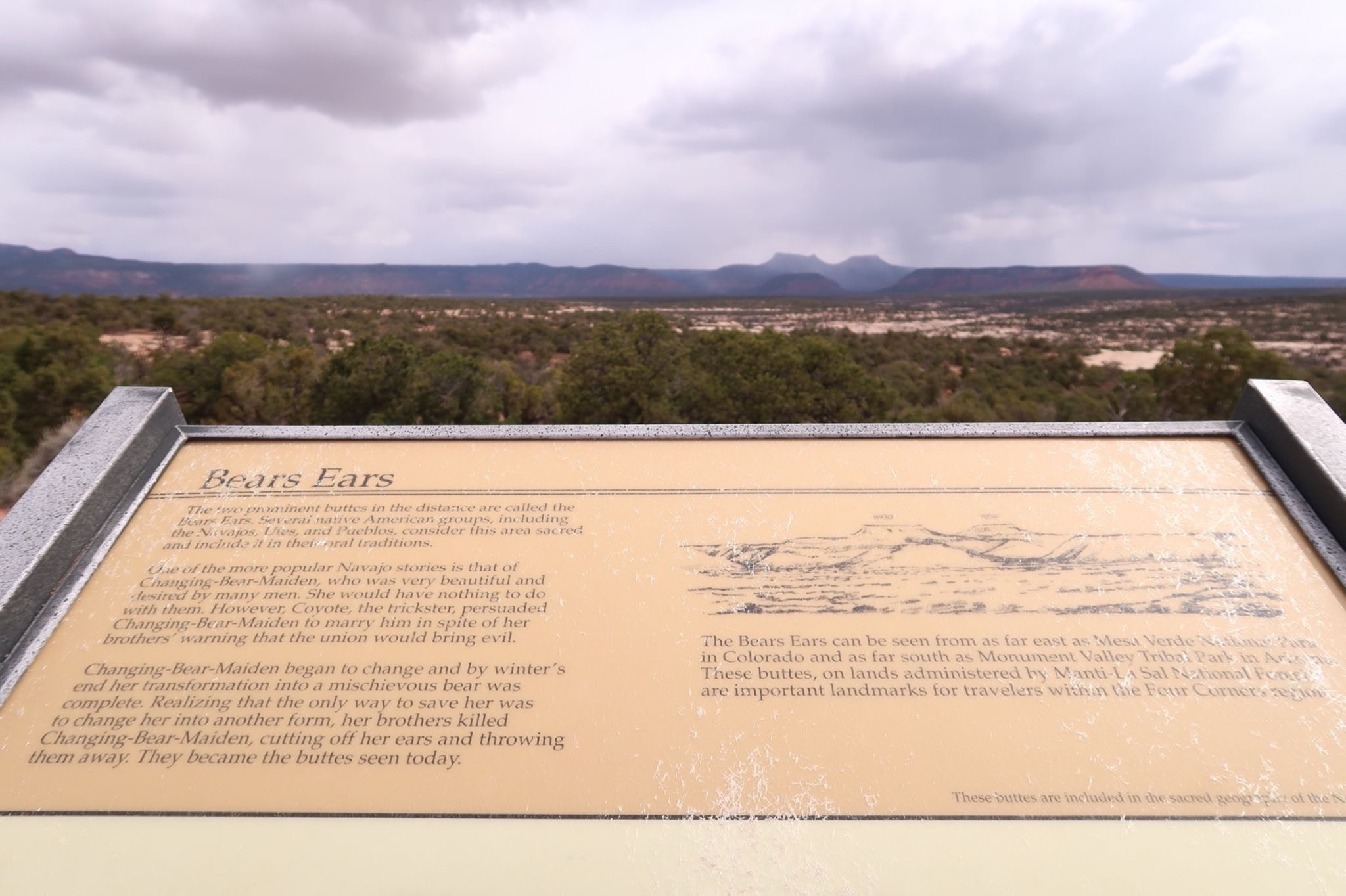
See those two distant peaks? Those are the Bear’s Ears. Everywhere I go, people are talking about this national monument. I learned that a president can simply decree a national monument (much easier Than making a national park) – but a president can also chop it down too. This is controversial in the area because people are saying that Trump shrank this national monument dramatically for oil – and the native Americans are in court trying to get it restored under the antiquities act.
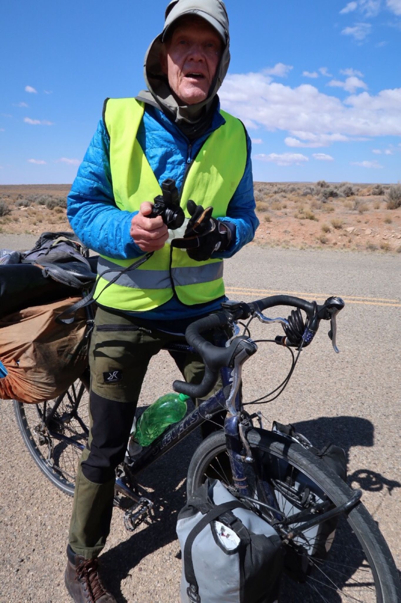
I met Lars from Sweden who had bike toured 90 countries! He is 69 and was really enjoyable conversationalist. I would like to meet him again. He knew the USA very well!
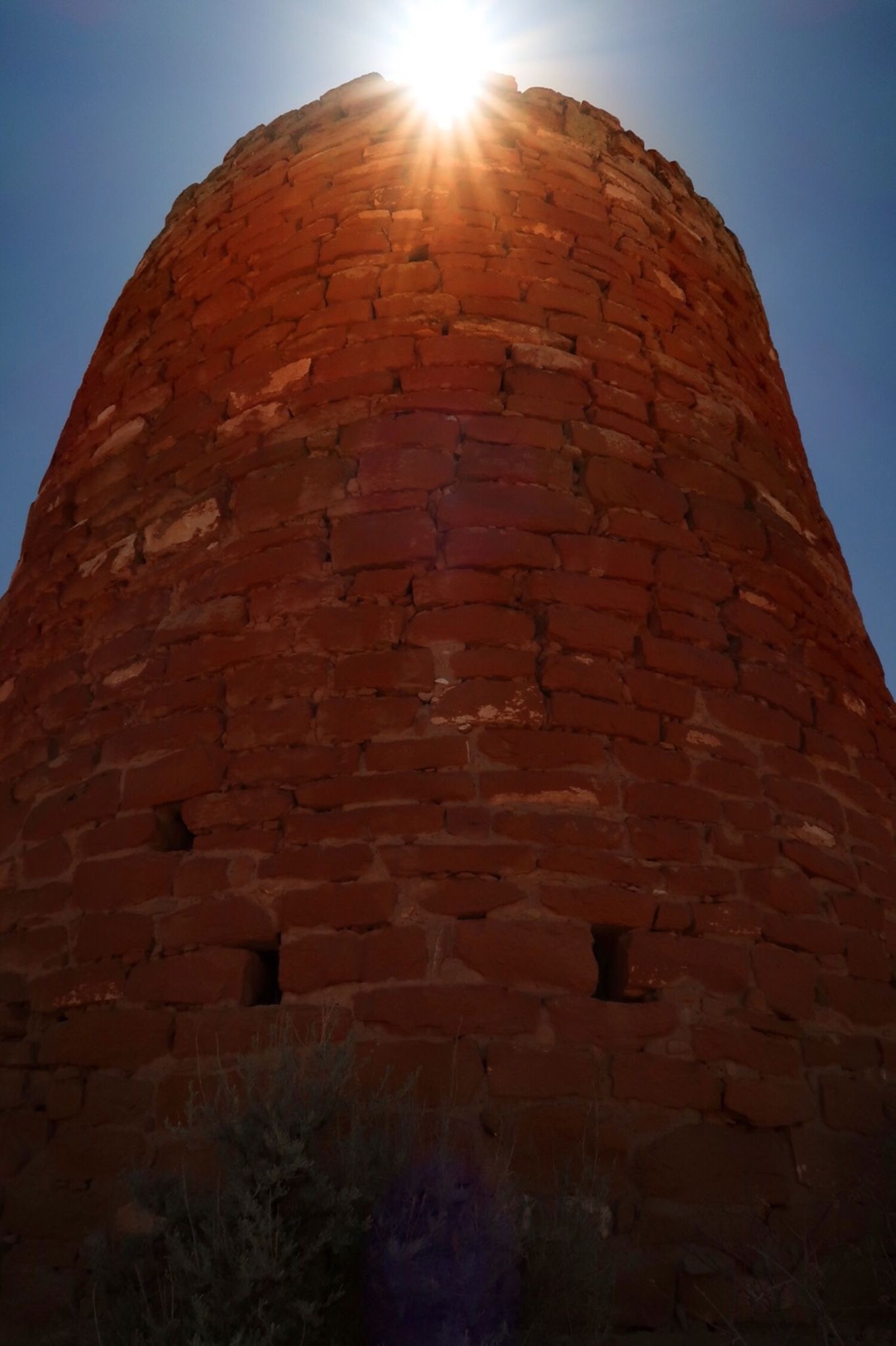
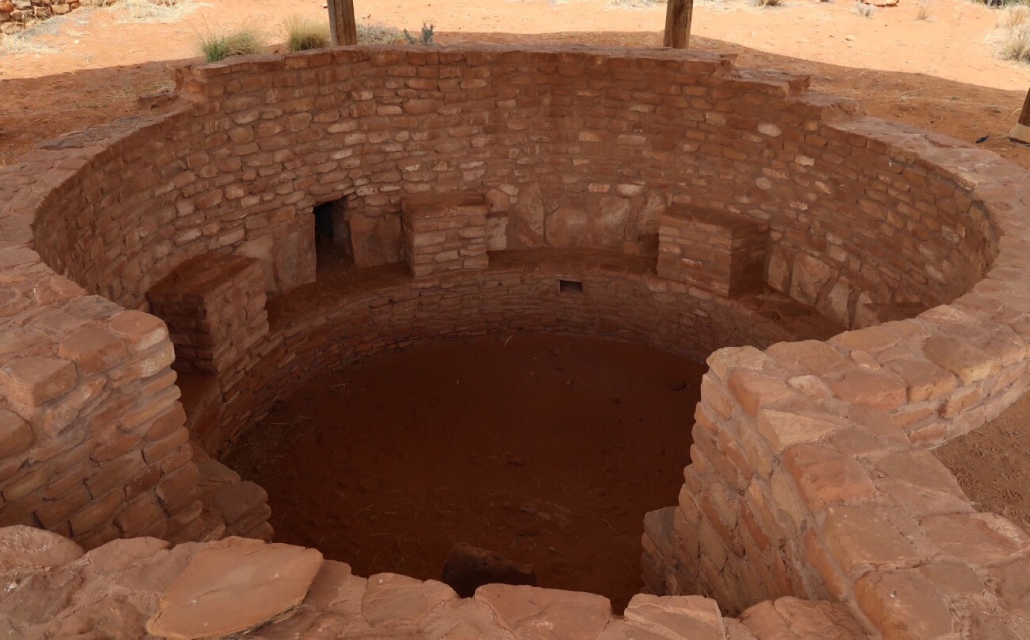
I took a side trip to visit Hovenweep ruins. 800 years old – but only used for about 20 years!
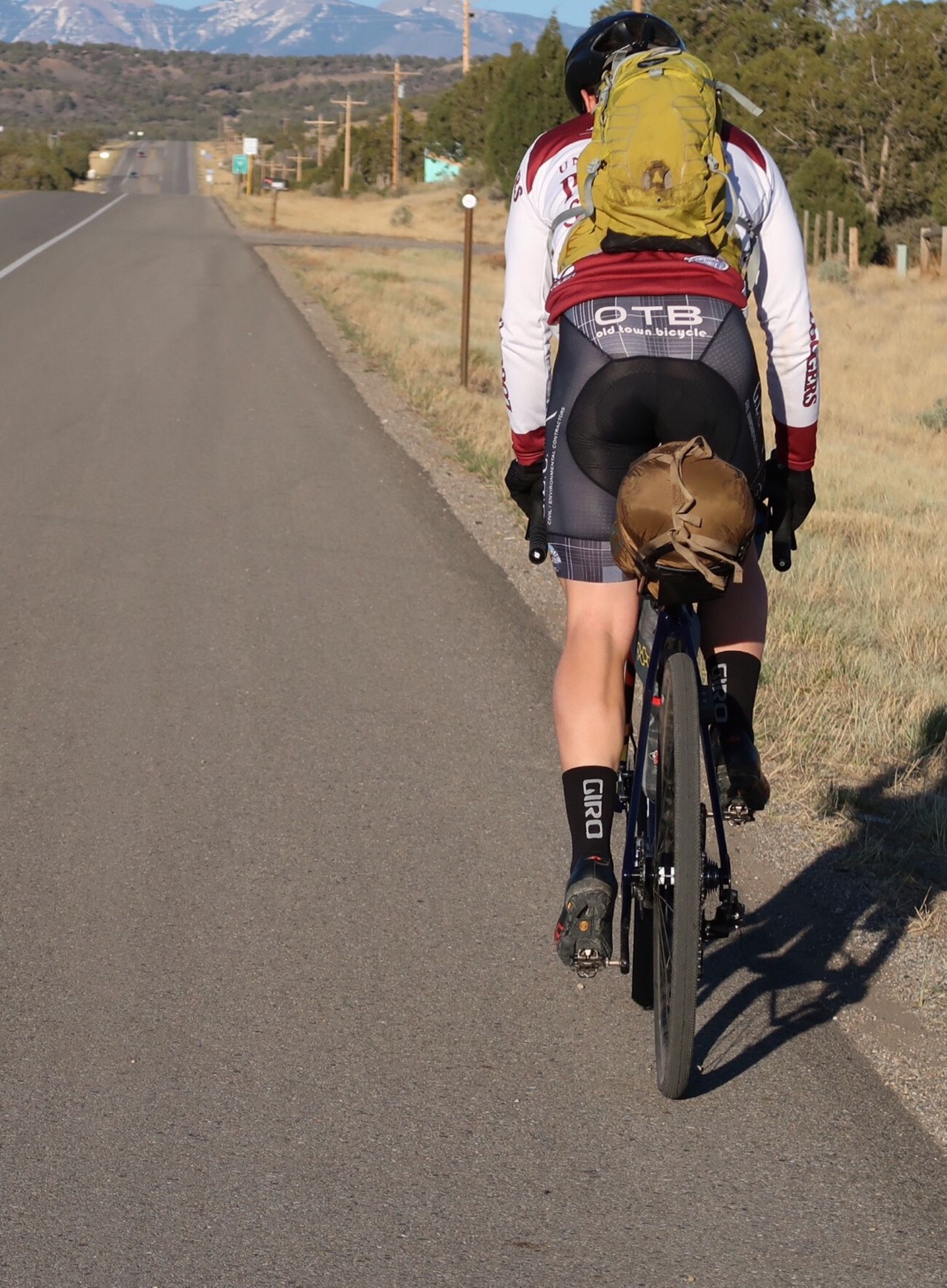
Graham, who Janet and I met and toured with for several weeks in Baja lives in Mancos. I met him at his work in Cortez and we rode together to his House. Next, we will tour together for one day (he will do a mega loop of 200 miles with 25k climbing) to return home!
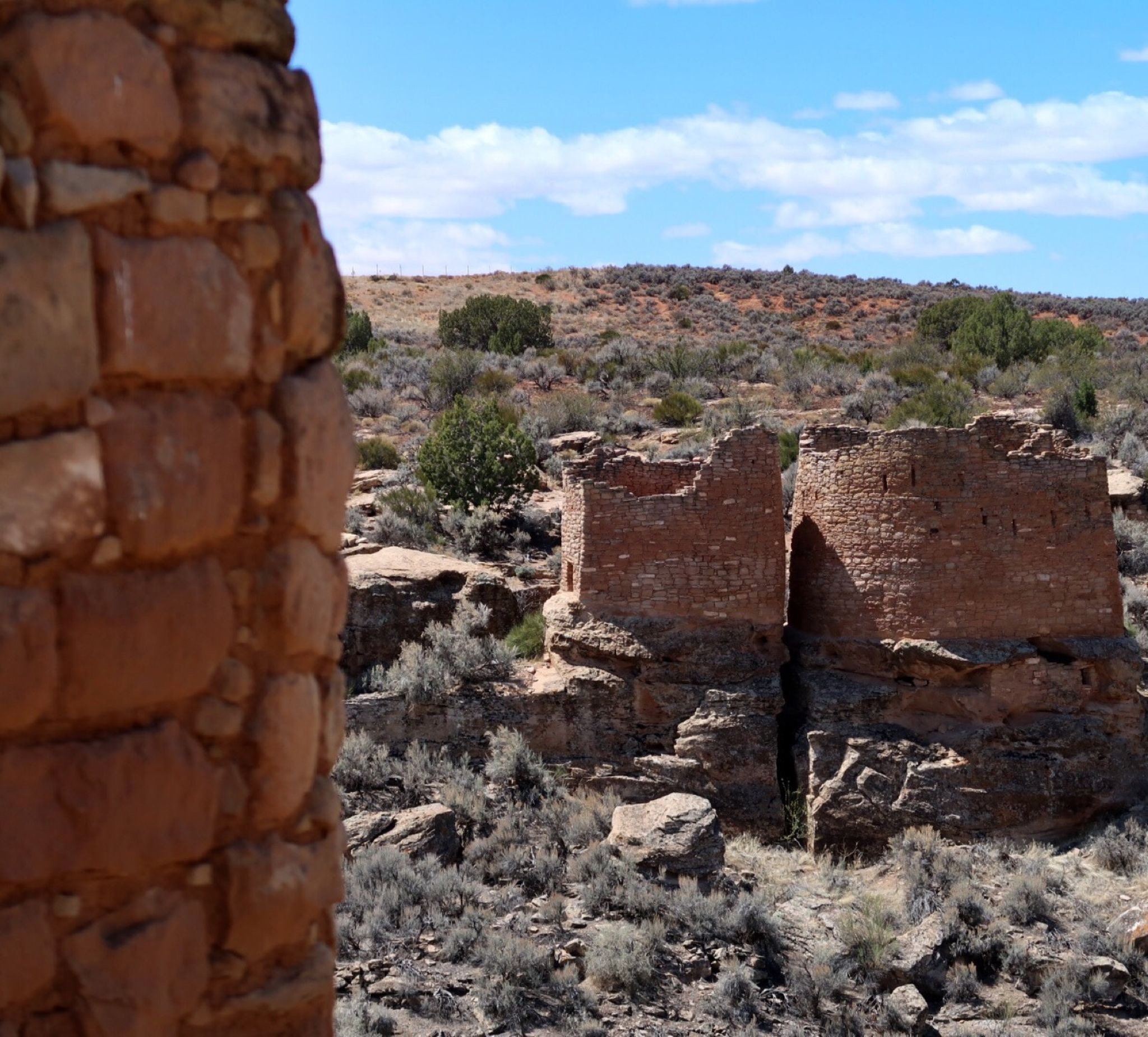
More hovenweep
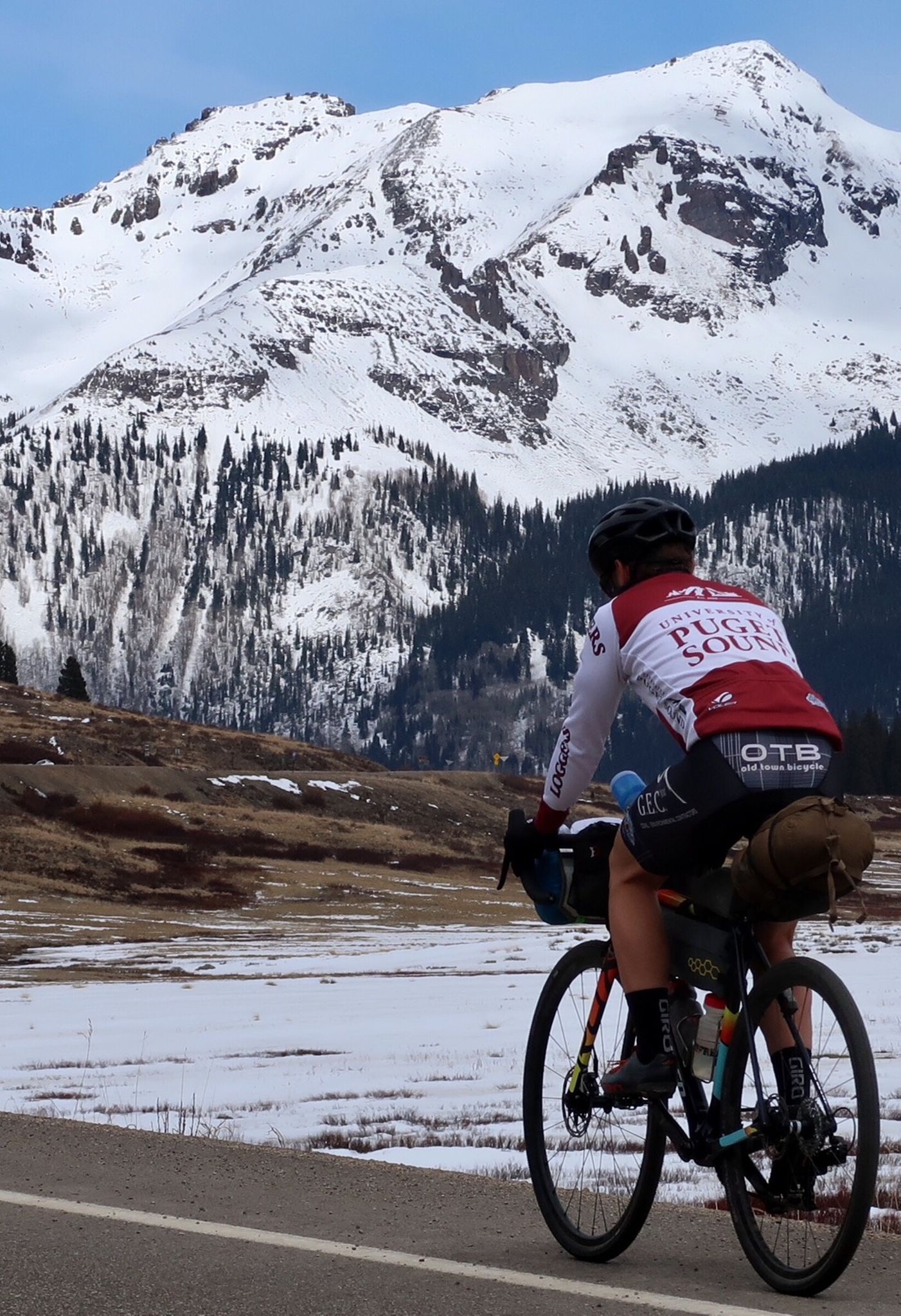
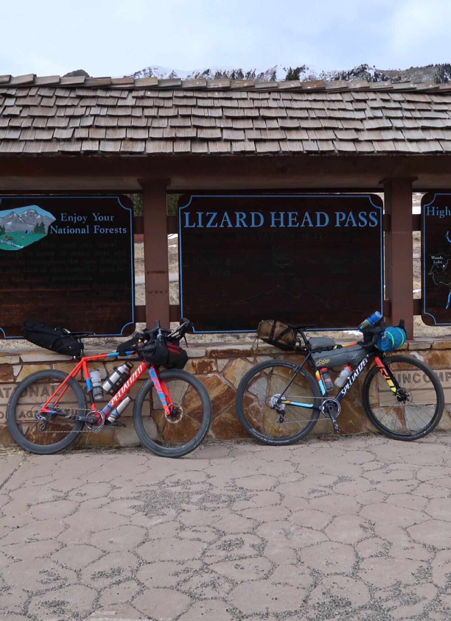
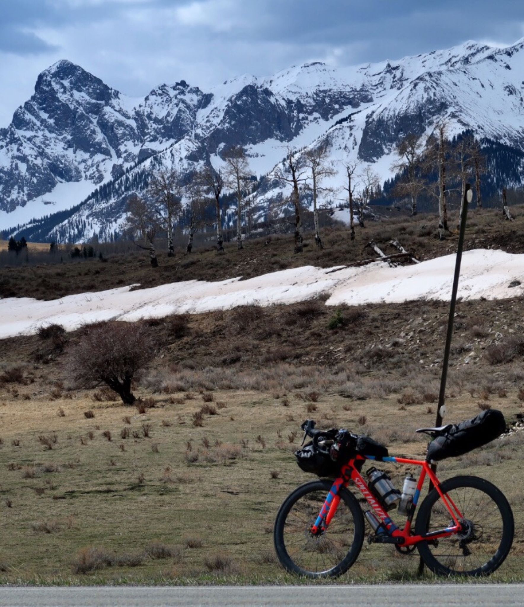
Graham led us over Lizardhead pass today on to Telluride.

Hi cute doggies!
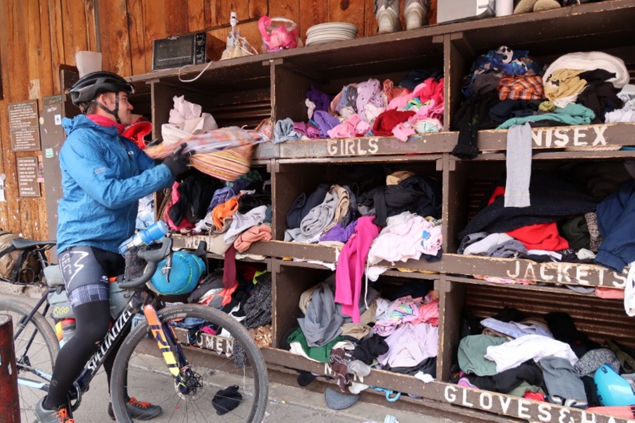
In telluride, they have this free stuff. So theoretically you could bikepack over without any street clothes, borrow some for the evening, and then return them the next day.
Coincidentally, Graham and I have the exact same bike. Uncanny.
Not many pictures today. The visibility was not very good. As I was climbing Monarch Pass, a solid snow storm came in.
I had planned to ride over Taylor River Road and cottonwood pass. But the pass was closed and I’m glad I didn’t with all the snow and cold! Instead, I passed through Seargents. I wasn’t expecting this. But I crossed the highway here on the tour Divide when I met Neil Beltchenko surreptitiously taking video! That video caused a lot of well meaning non-diabetics to chide me in person or PM me on the blog, “I can’t believe you were eating that muffin/donut/cookies and drinking a soda! It is so bad for your diabetes!” To clear this up: it was a diet soda with zero carbohydrate, and it was a muffin. I take several types of insulin, and one of them called Lantus lasts for 24 hours. It releases steadily, and the amount that keeps me alive at night is a little too much for a day of full exercise – that’s just the way the dynamics work. I ate an estimated 1000g of carb (2.2 lbs of sugar!) per day during the Divide because the insulin gets 25x (or more) stronger when I’m exercising and the liver glycogen has been depleted. That may seem like a ton of carb, but it is actually a relatively low percentage (4000 calories out of the 12,000+ calories I was eating per day). A diabetic can eat anything, but they need to take into consideration exercise, how fast the carbs absorb, hydration status (when dehydrated, insulin absorbs slower), elevation, ambient temperature, future exercise, and a little bit of random guesswork. The consequences of an incorrect dosage can be shaking on the side of the road for 20 minutes waiting for the sugar to catch up (good case) or passing out on a descent (bad case).
Climbing the pass. It got very cold and snowy. The worst was descending with the hard sleet soaking me and an icy 30mph headwind onto Salida. Luckily, it was just as strong of a tailwind going out of Salida. I guess that is why they call it Salida (exit in English) – because all winds blow you out of Salida.
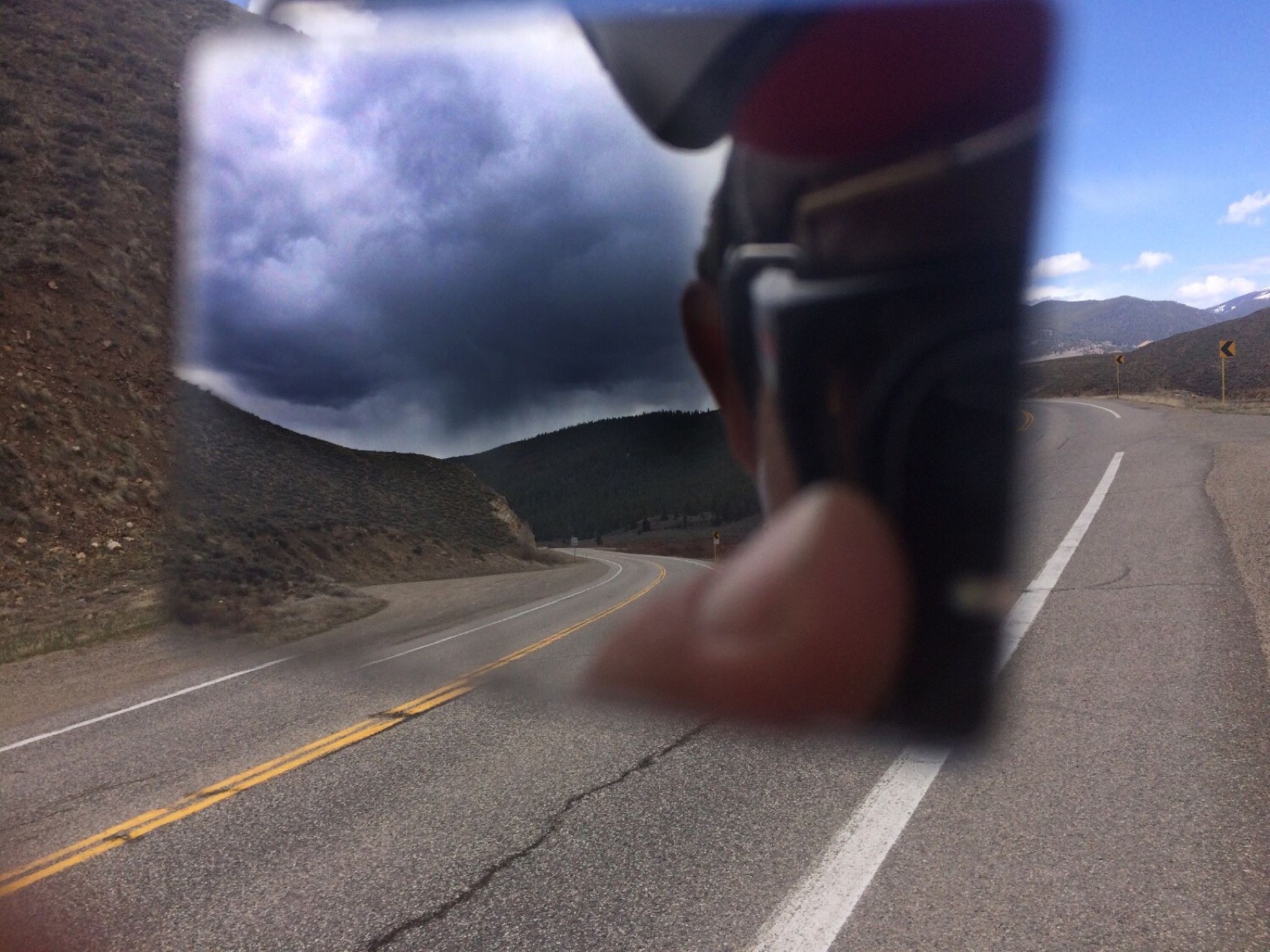
Blue skies ahead – dark clouds behind. who is going to win the race to the pass? (final score: clouds:1 me:0)
I bet this is popular! There is a big store at the top of Monarch Pass – like in Europe. They had food and gifts. I got 2 liters of hot tea in my thermos that saved me on the frigid descent!
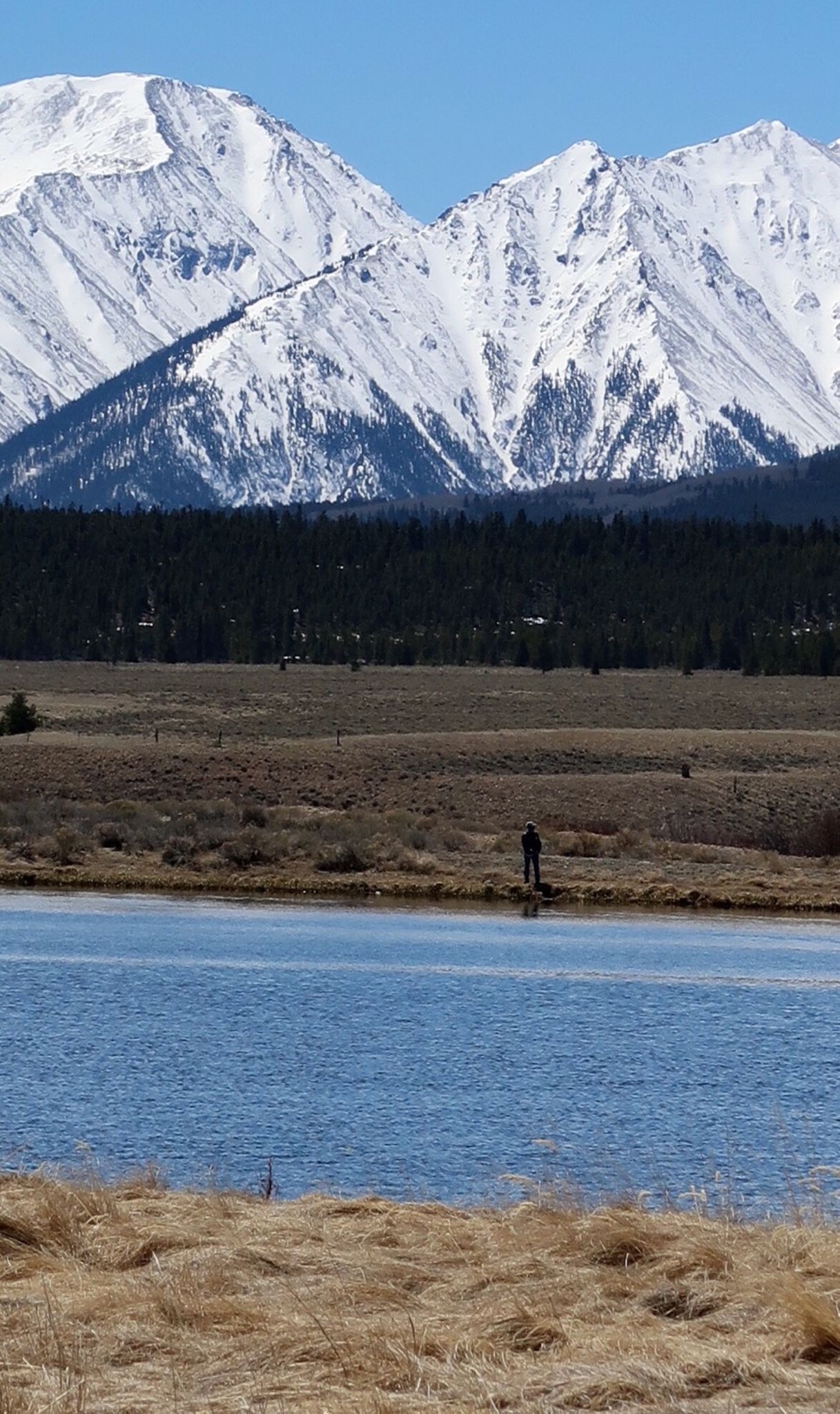
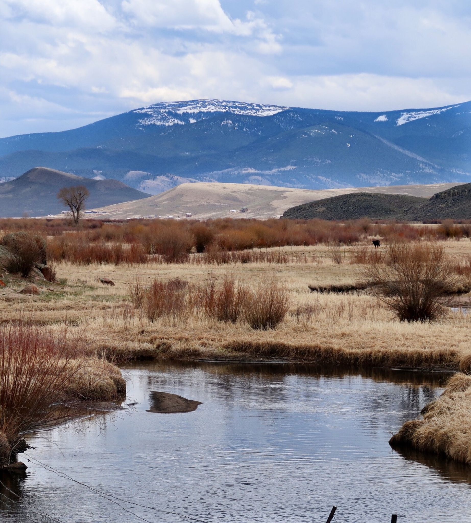
Fishing by the lake. Idyllic. n
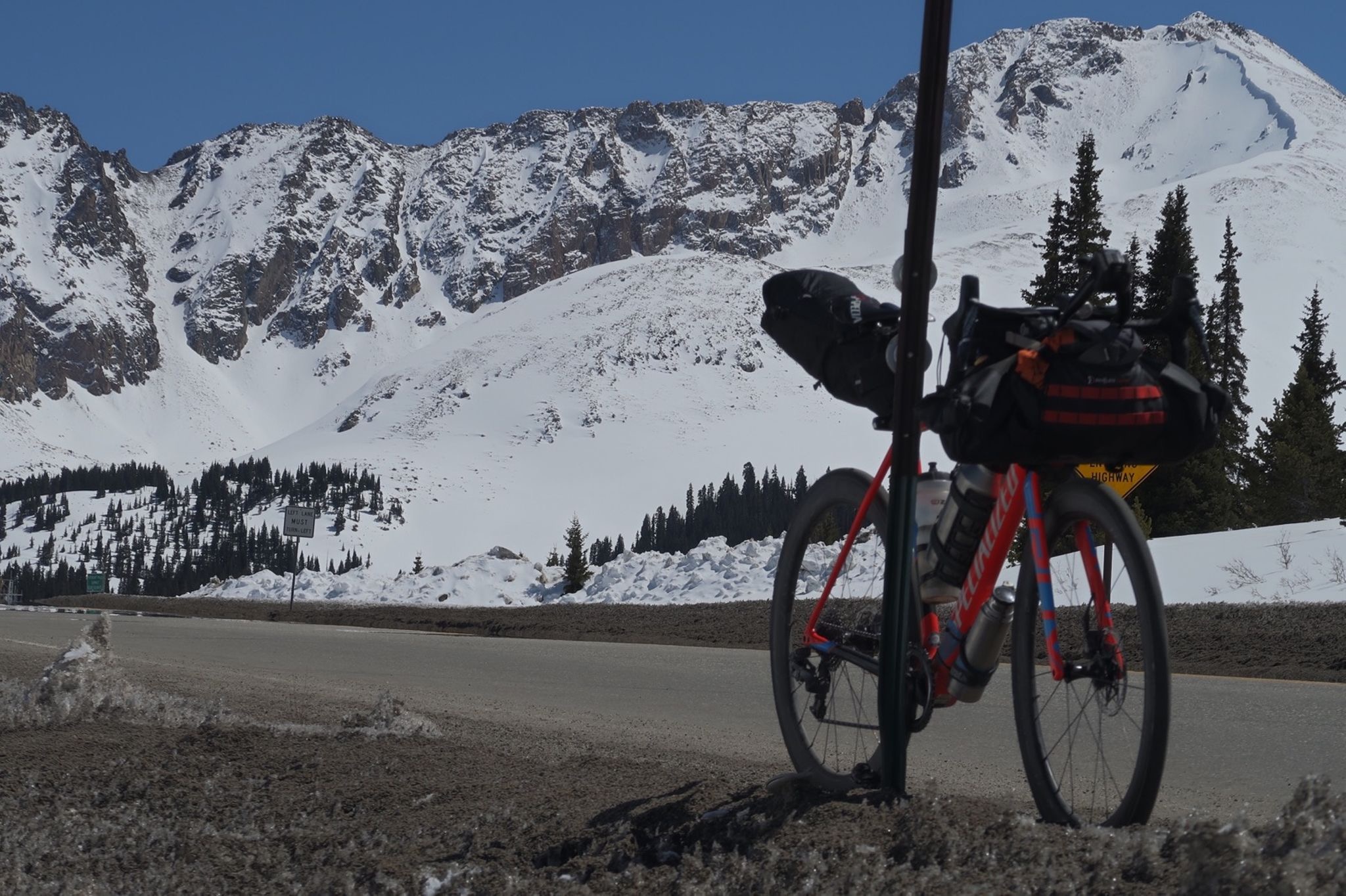
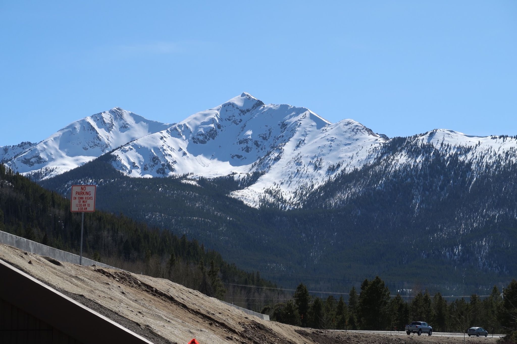
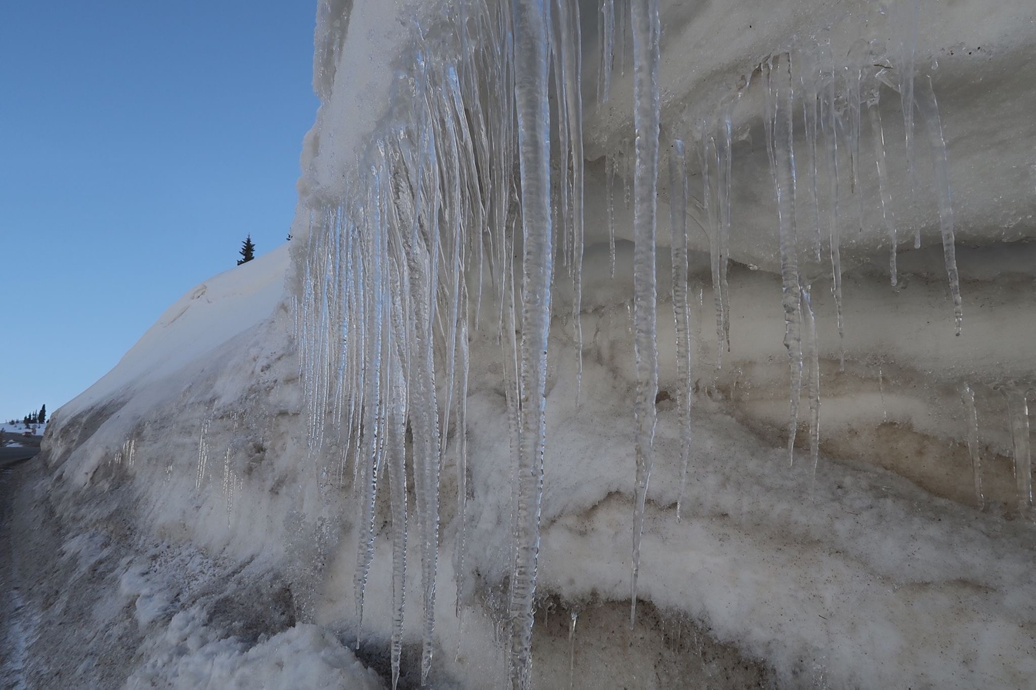
Today’s ride was all about the snow and clear skies.
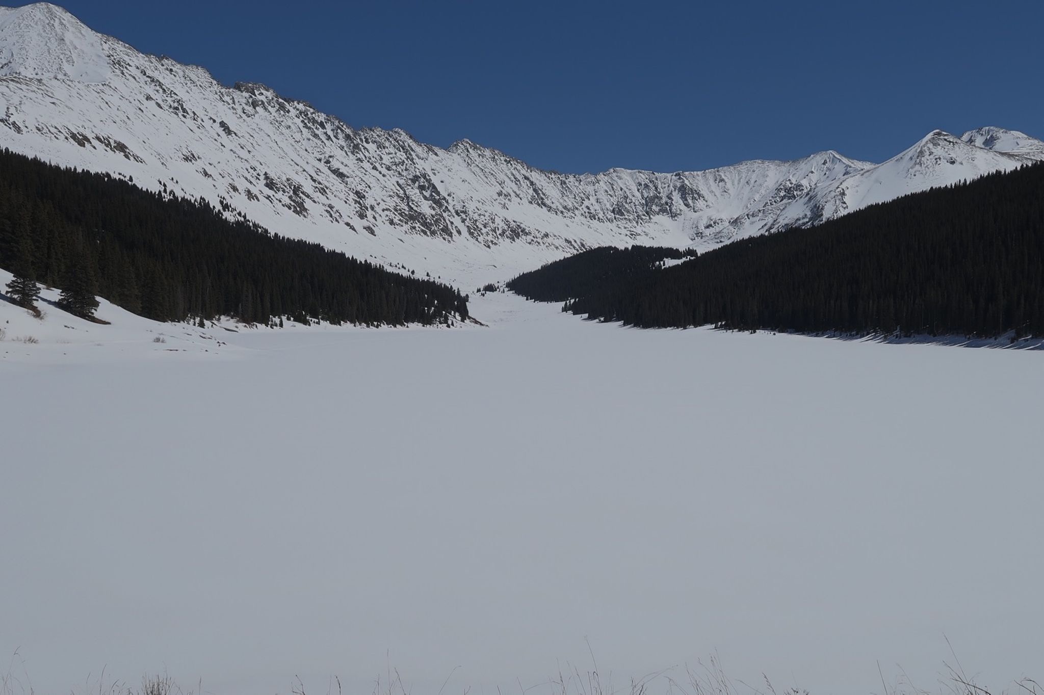
I crossed two very snowy passes.
Janet found me using the tracker on Loveland Pass! It was so great to see her!
Hmm, 43 degrees, snow flurries on the pass, Haven’t seen Janet in 3 weeks… and she is here… we can still drive the intended route… pretty easy decision.