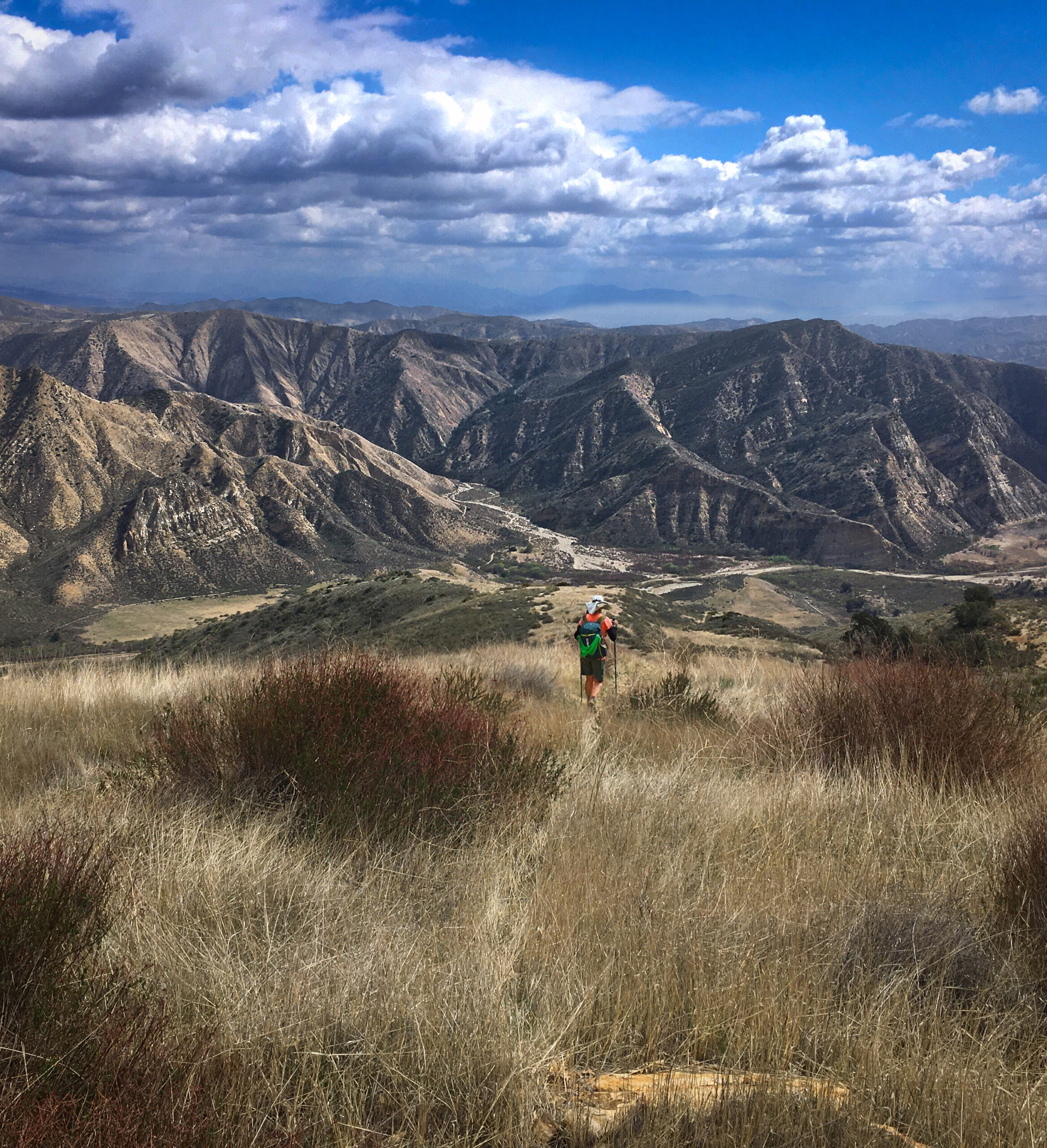
The Condor Trail (Leg One)
One day Janet and I were bikepacking some remote trails in the Los Padres National Forest and we met a couple who told us they were hiking the Condor Trail. Once we got home from that trip, we started to learn more about this route and I managed to download the GPS tracks from their website (which is no small task; let me know if you need any GPX files). Janet and I decided that we were not up for a thru-hike, and some parts of the route are not aesthetic (such as hiking on HWY 1). We decide to section-hike a portion in a region we hadn’t previously explored & looked promising with excellent scenery and the allure of Hot Springs.
The Map
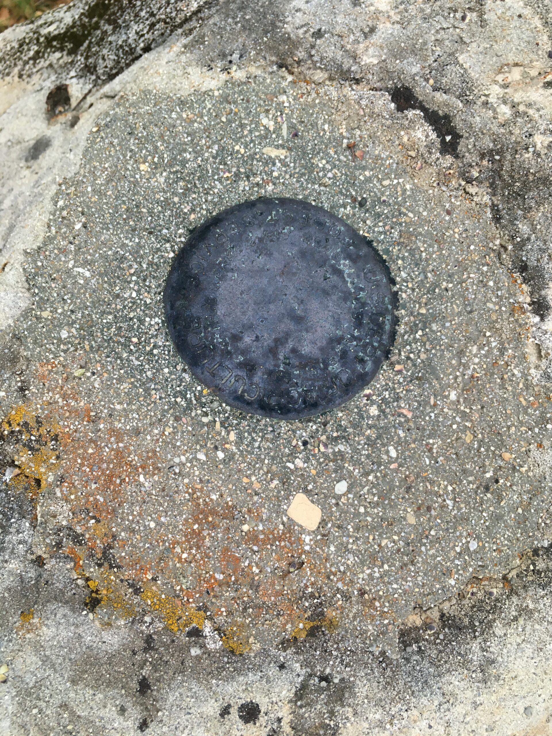
This is the map for the entire route discussed in this post. To Export GPX files, click on the three horizontal bars in the upper right hand corner of the map and select Export selected map data... To see full screen, click here (opens in new window)
Before we go any further, the Condor “Trail” is actually a “Route.” This means that it is not completely developed and there will be bushwhacking and travel on insecure terrain. I think we forgot about this aspect of the Los Padres before we departed on this trip. We found several sections that required difficult bushwhacking, route finding, or scaling loose and steep terrain using our hands. Overgrown sections were:
– From Bear Trap Camp to Pine Mountain Lodge Camp. Part of our issue was snow, though, so you may or may not have to deal with that.
– From Cottriel Flat Camp to Alder Creek Camp. Not too bad, but definitely a bit challenging in places.
– From Ant Camp to Log Cabin Camp. This was a very long section of bushwhack, route finding, and climbing (to go around Big Narrows, which may not be necessary, but was part of the official Condor Route).
In all of these sections we occasionally saw flagging or cairns, but a lot of our route finding was just intuition. Luckily, there were not any impasses, and a surprisingly low amount of deadfall to climb over.
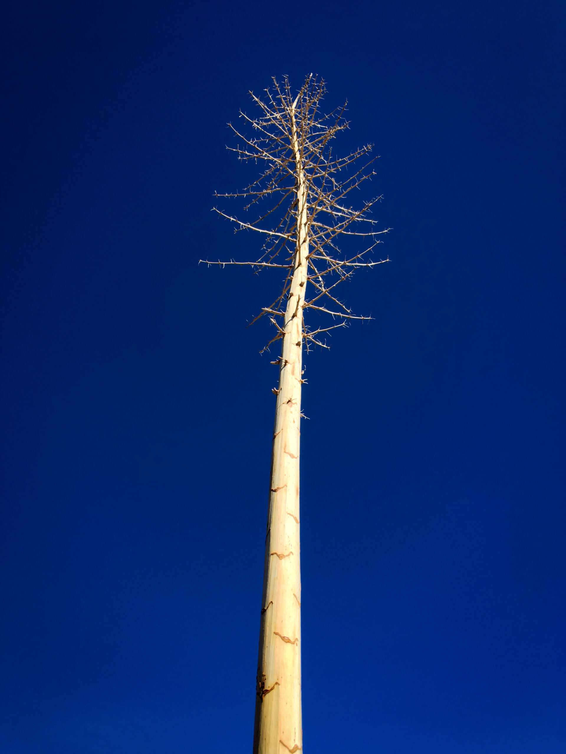
Below are pictures from our trip. If you just want the map (with downloadable GPX files and curated waypoints) Click Here.
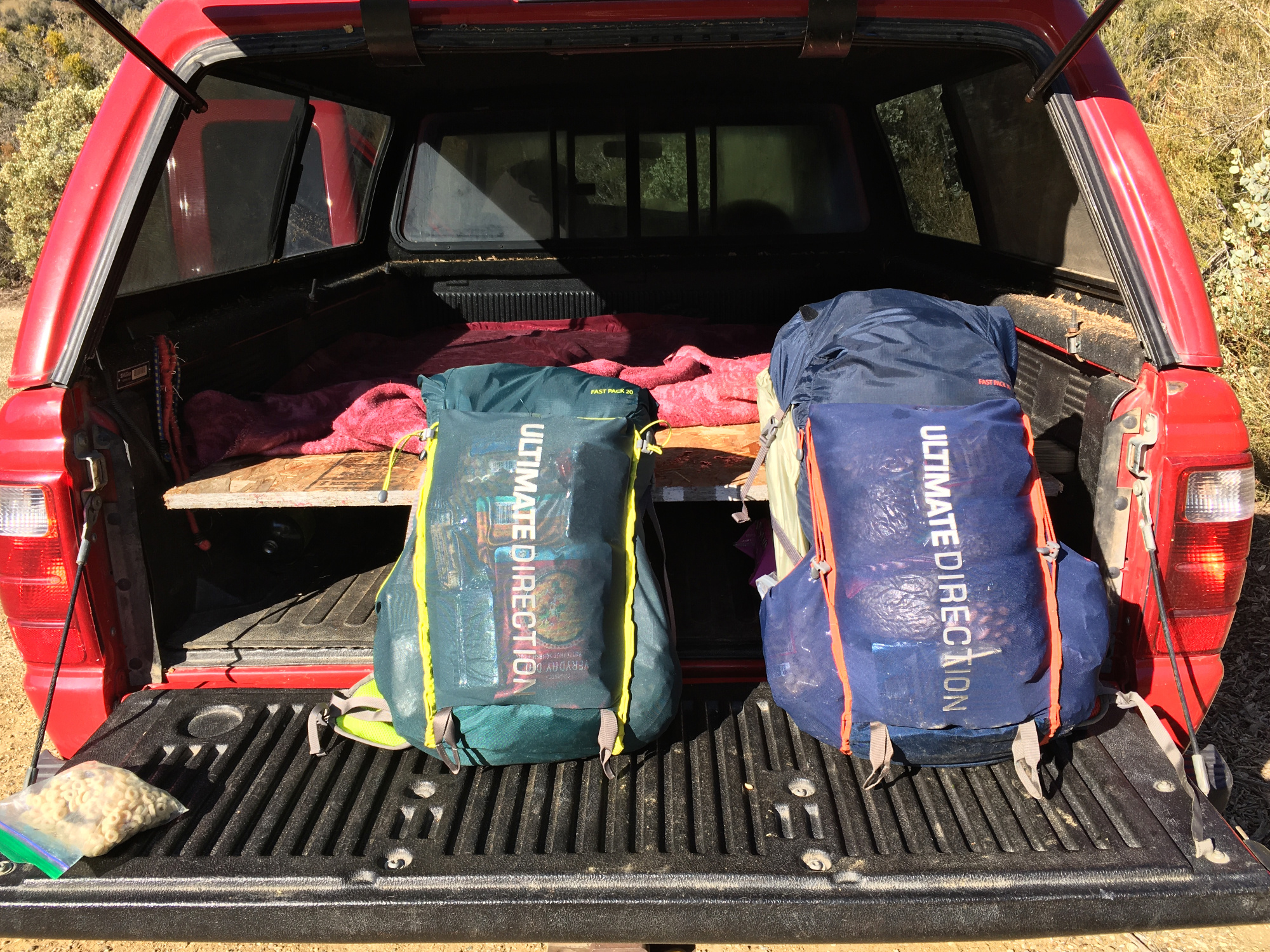
Packs loaded with food! I’ve been carrying 200 calories per ounce lately, which dovetails nicely with my low carb diet for diabetes. My Total pack weight is 15 pounds with water and 6 days of food.
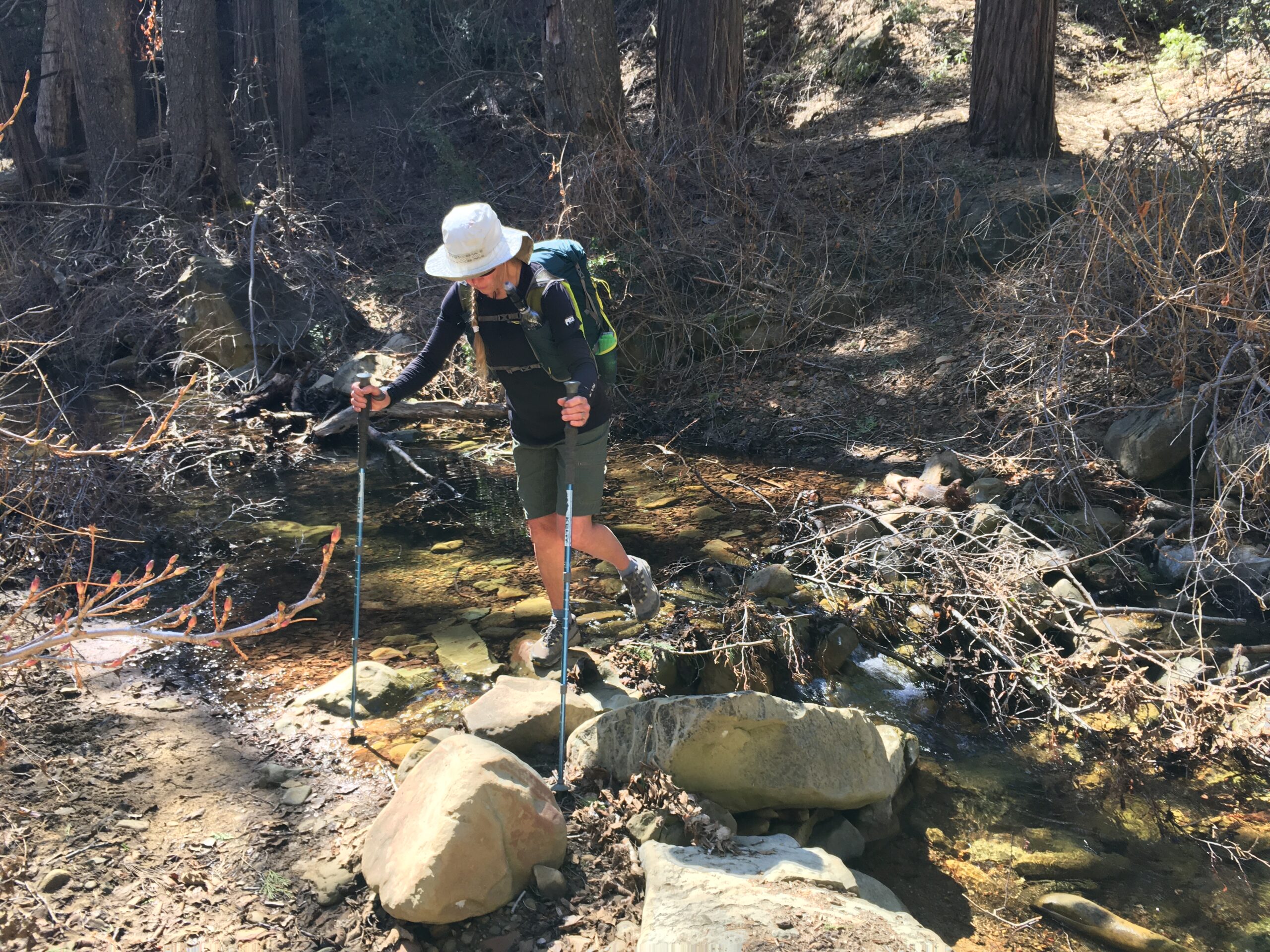
Today the trail started well, weather was perfect and we were in high spirits. As we got farther along the route turned into somewhat of a bushwhack and also some careful walking on ice. We were chilly sleeping at 6,000’.

We thought there might be some snow; it is amazing how even small patches of snow can impede progress. We had to be careful not to slip down sideways.
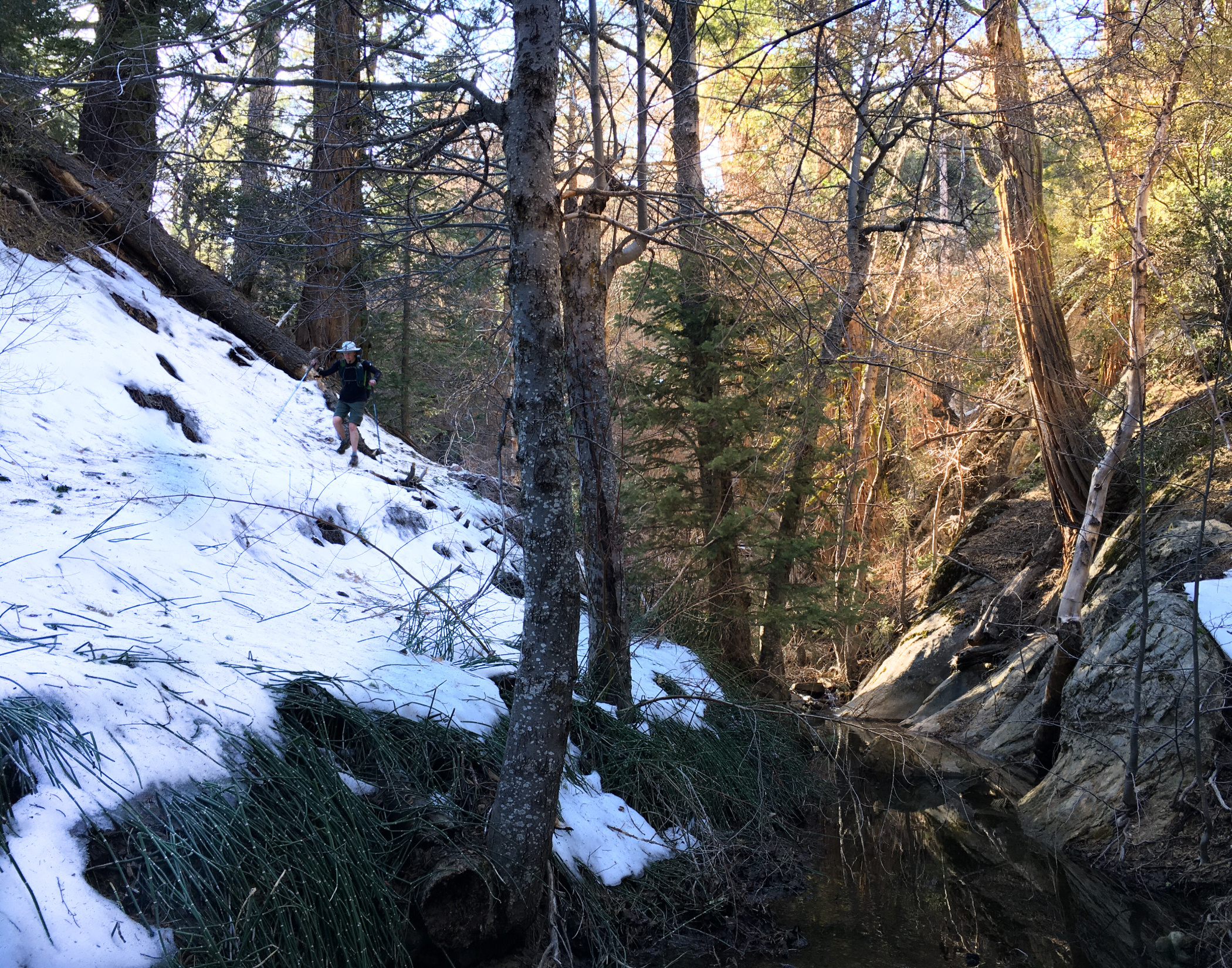
Just a little more snow and then we would be done with it for the rest of the trip!
Today was a day of contrasts. We began in freezing temperatures at camp, walking in snow, and not having seen anyone in over 24 hours – to a hot landscape with a fair number (over 12) of backpackers going to or returning from the hot springs.
Today’s hike would take us into the heart of the popular region, and then just as suddenly thrust us into the remote reaches of the Los Padres.
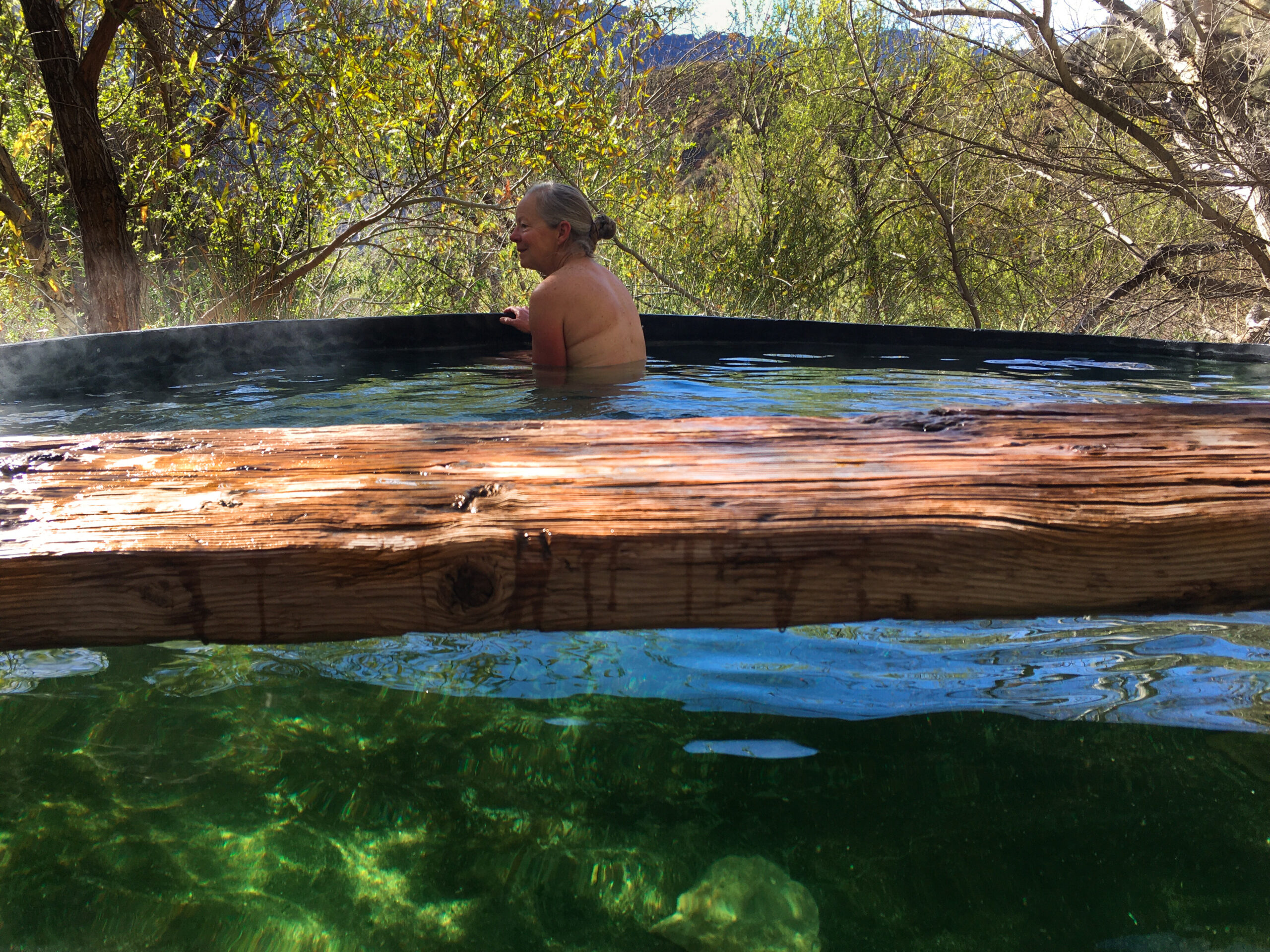
Janet in the Willert Hot Springs. We had seen some other people camped down below and we were worried it might be occupied- but when we arrived, we had the tub all to ourselves for the entire time we were there. It was perfect!!

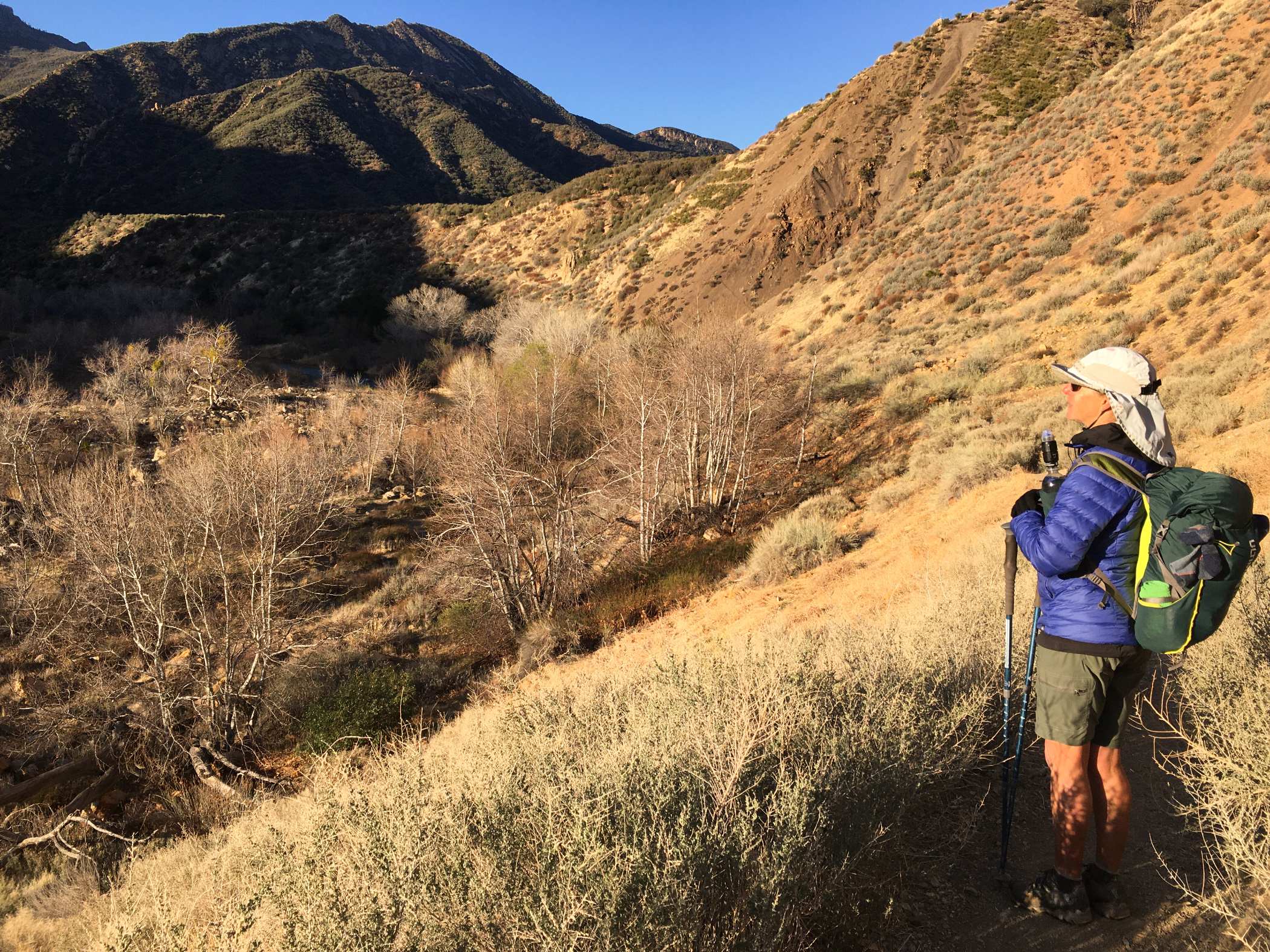
Slower progress and route finding – but good moods. Once we left the Sespe area, we wouldn’t see a single other person for the rest of the route!! The last people we saw (near Sespe) exclaimed, “oh! Humans!” When they saw me. And they had been in the popular Sespe Hot Spring area. Apparently, even though there were other people in the area, they didn’t see them. Janet and I hatched a new plan to see Sespe on another hybrid bike / backpack trip.
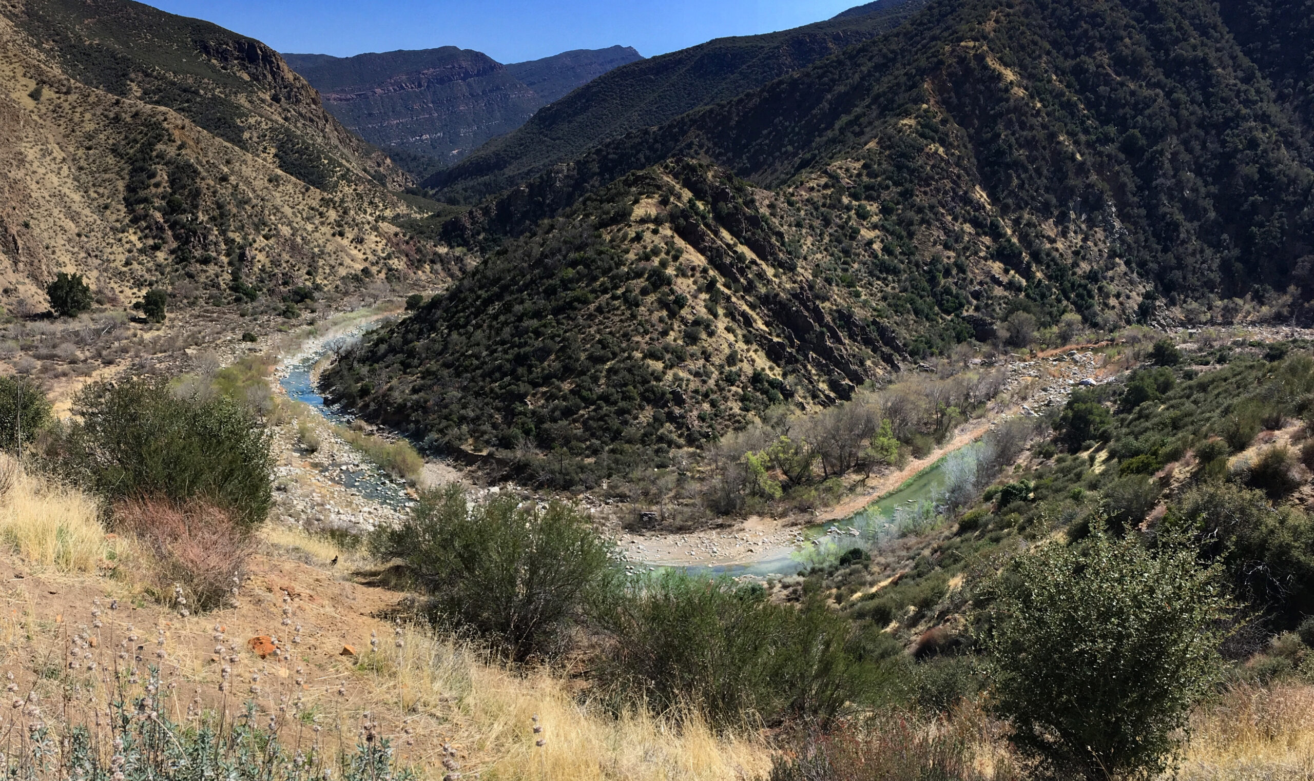
A bend in the Sespe river. We had originally planned to visit both Willert and Sespe hot springs today, but we both agreed that one was enough. Also, since the going was much slower now, we wanted to make some miles because we knew a storm was coming and we only had a 6 day window.
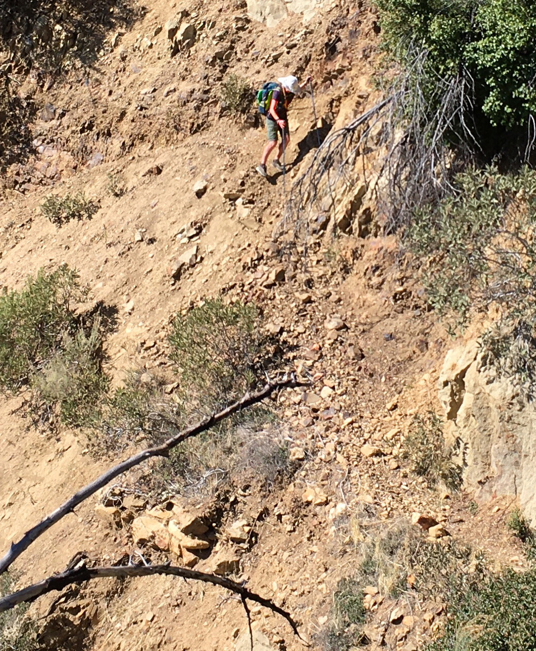
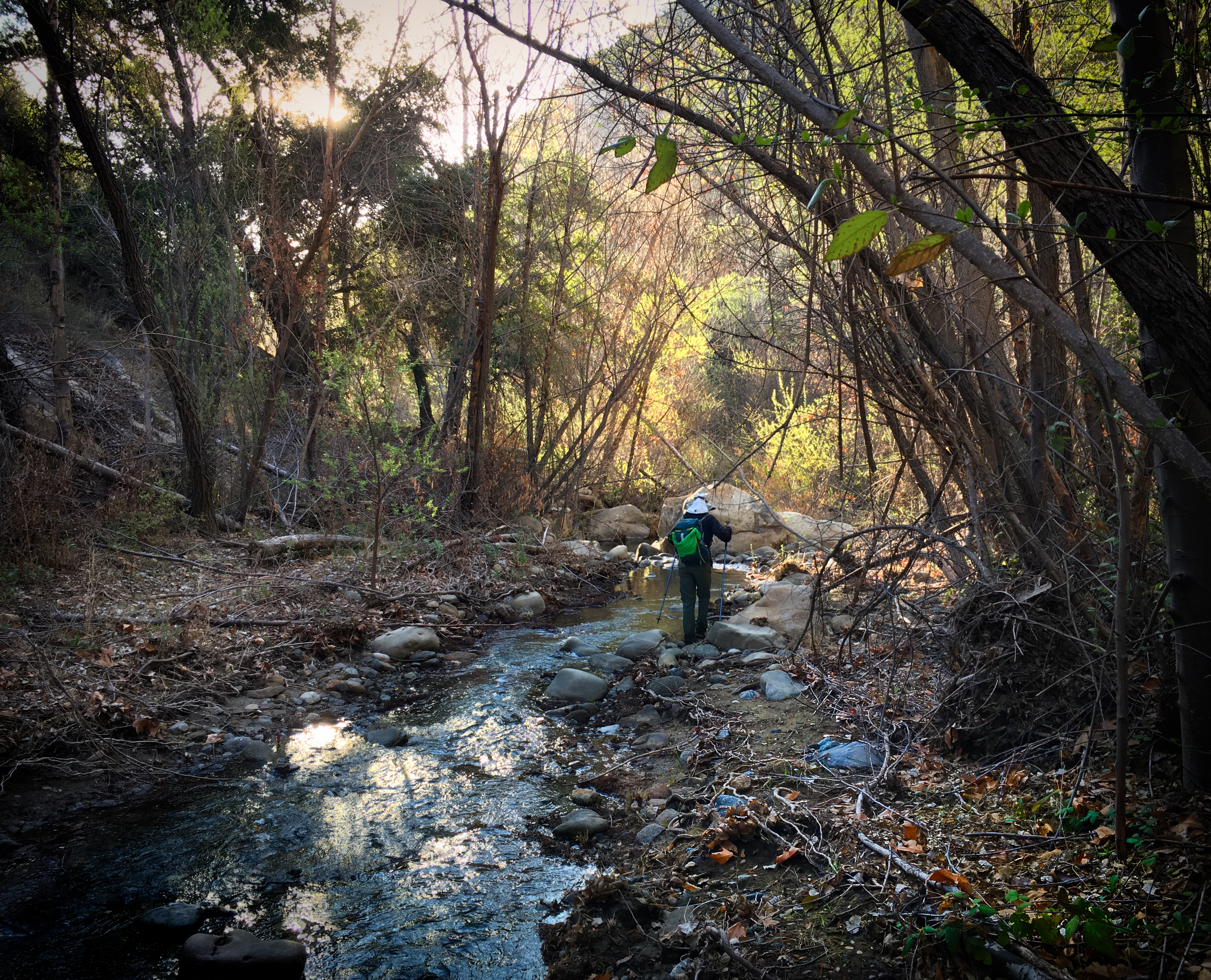
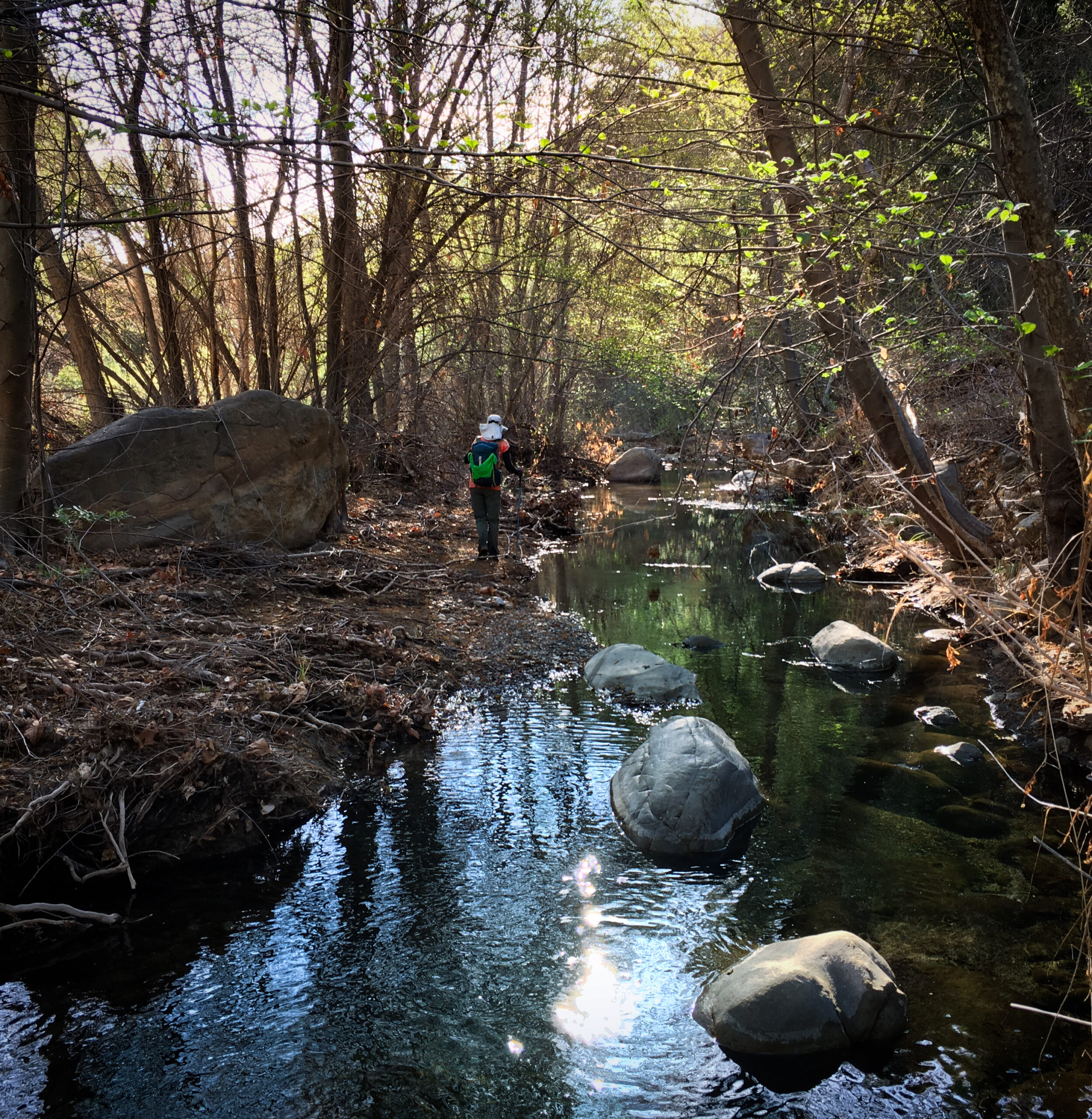
After we left Willert hot springs, we kept heading towards my car which was parked at Lake Piru. We had arranged an elaborate car shuttle. We soon found out that after the hot springs, the trail was no longer easy going. But at least there was a trail here… you can see Janet doing very well on the tedious terrain!
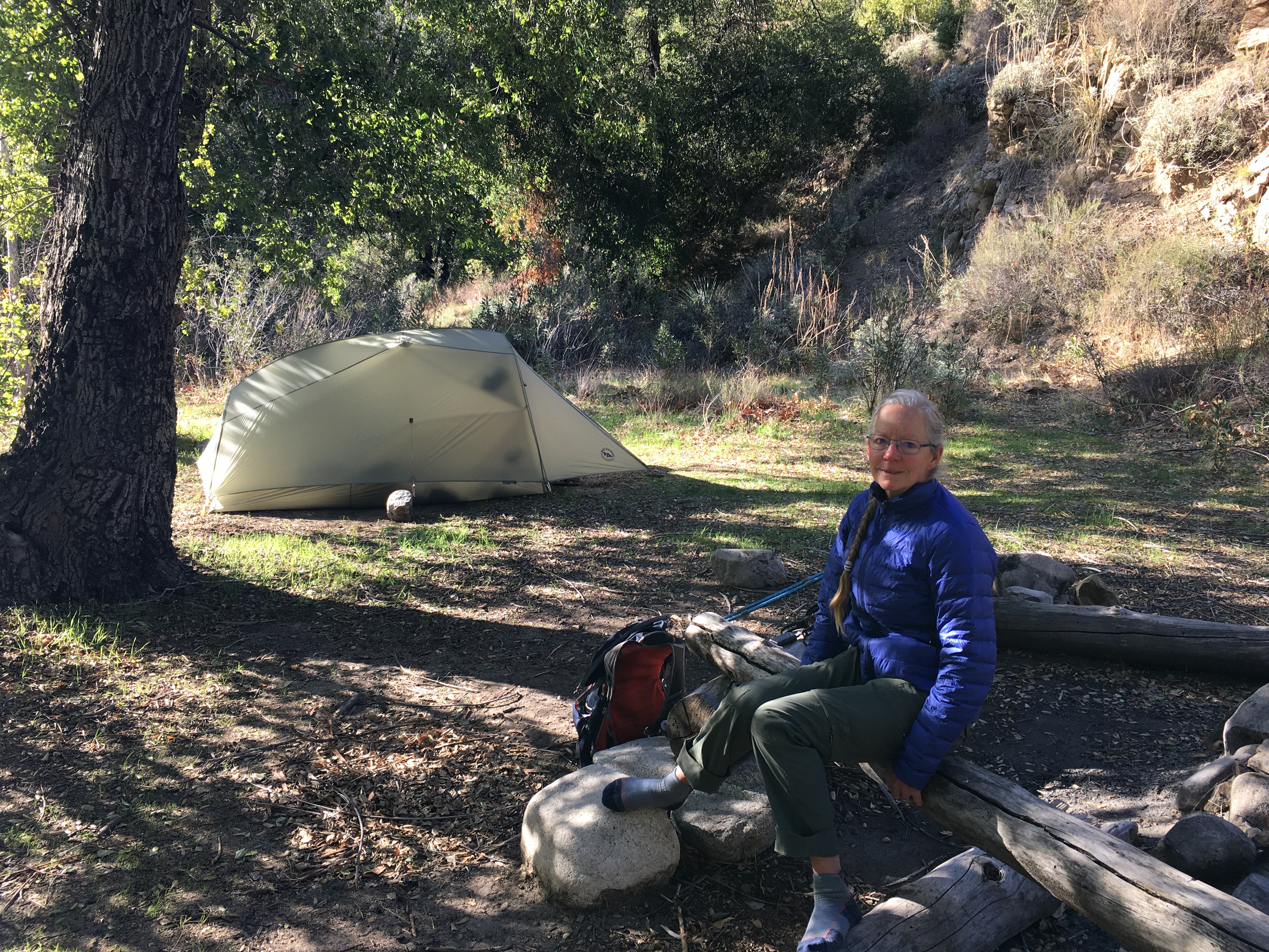
Janet at camp. We stopped at 3 pm with tired legs. It was a great place to relax and rest for the afternoon.
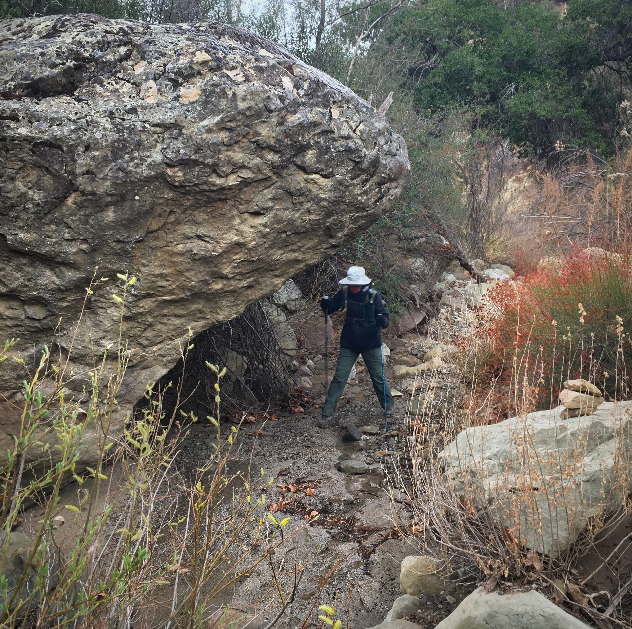
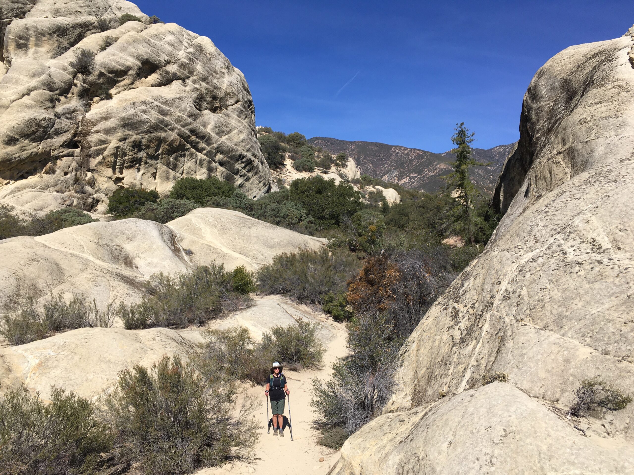
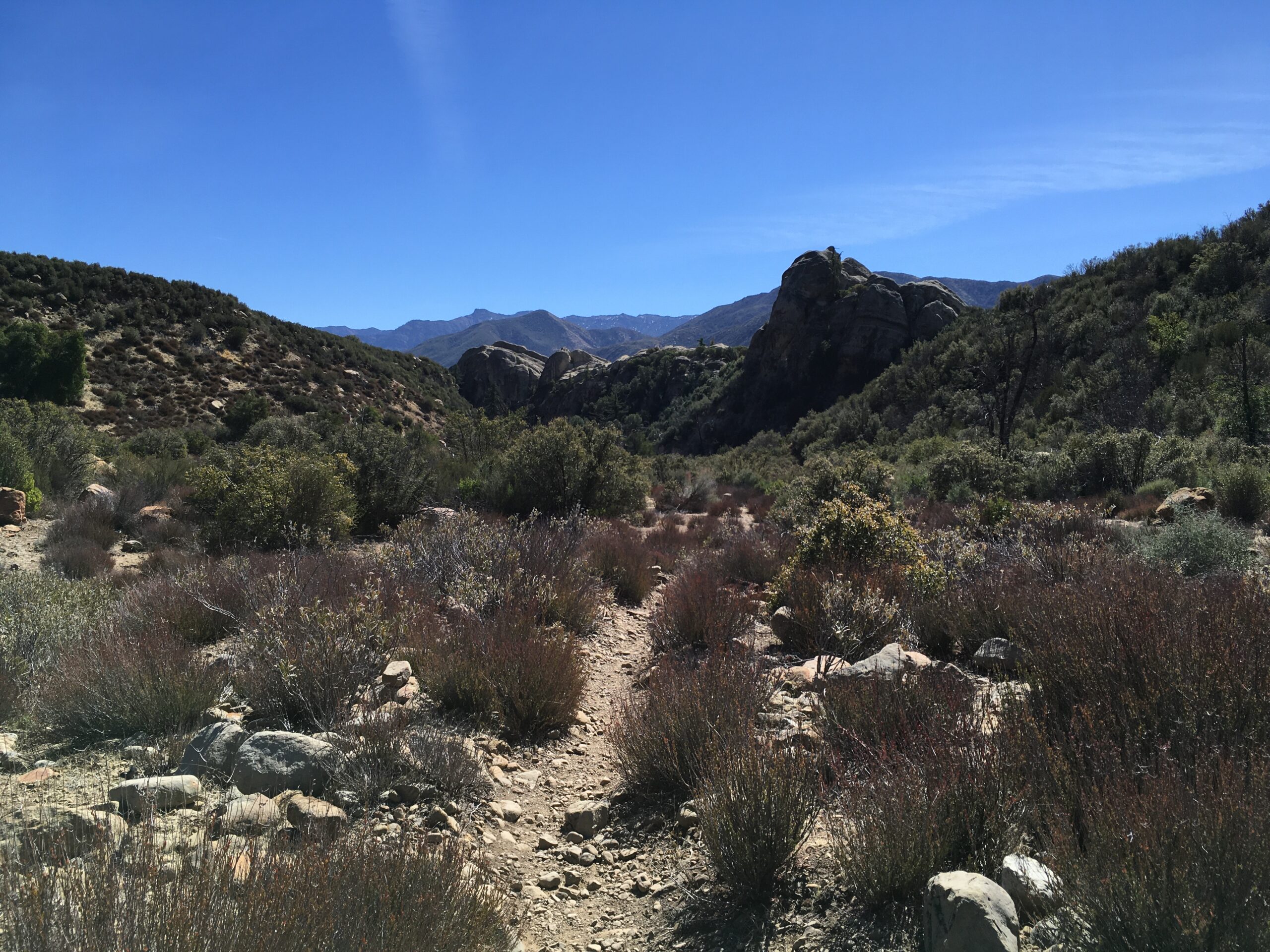
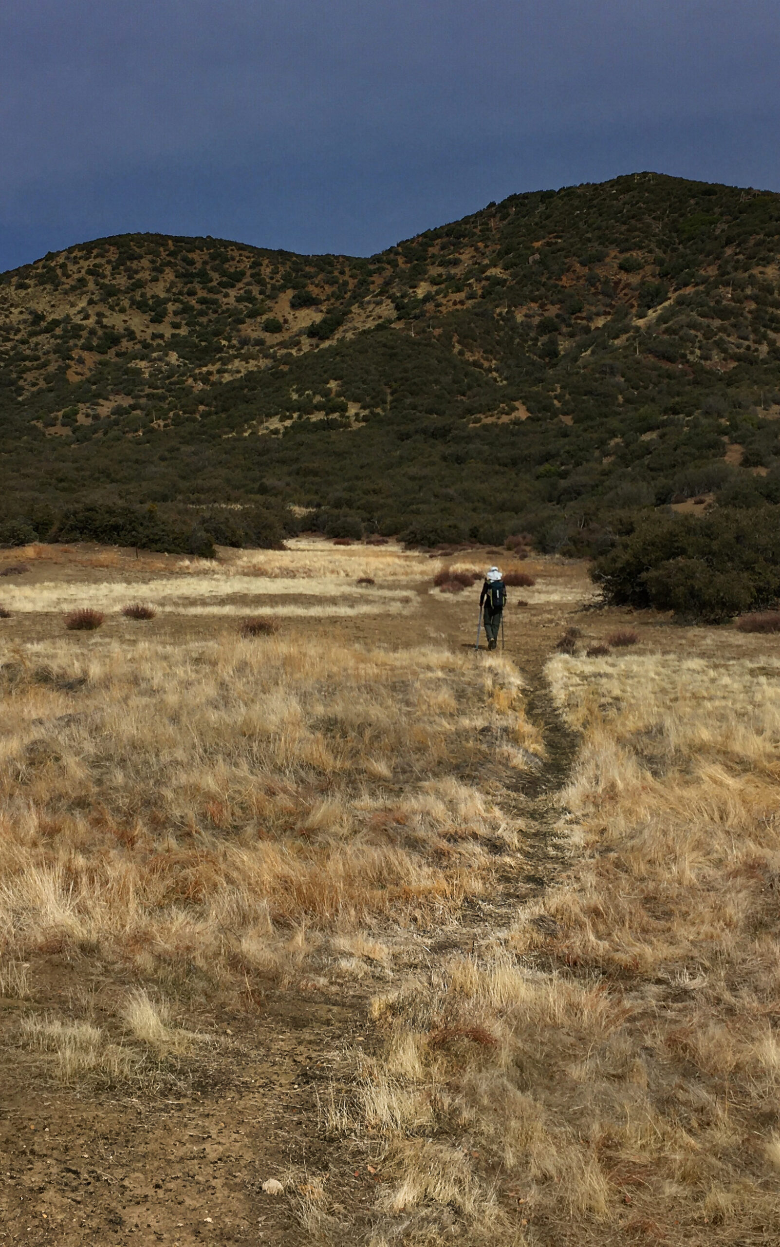
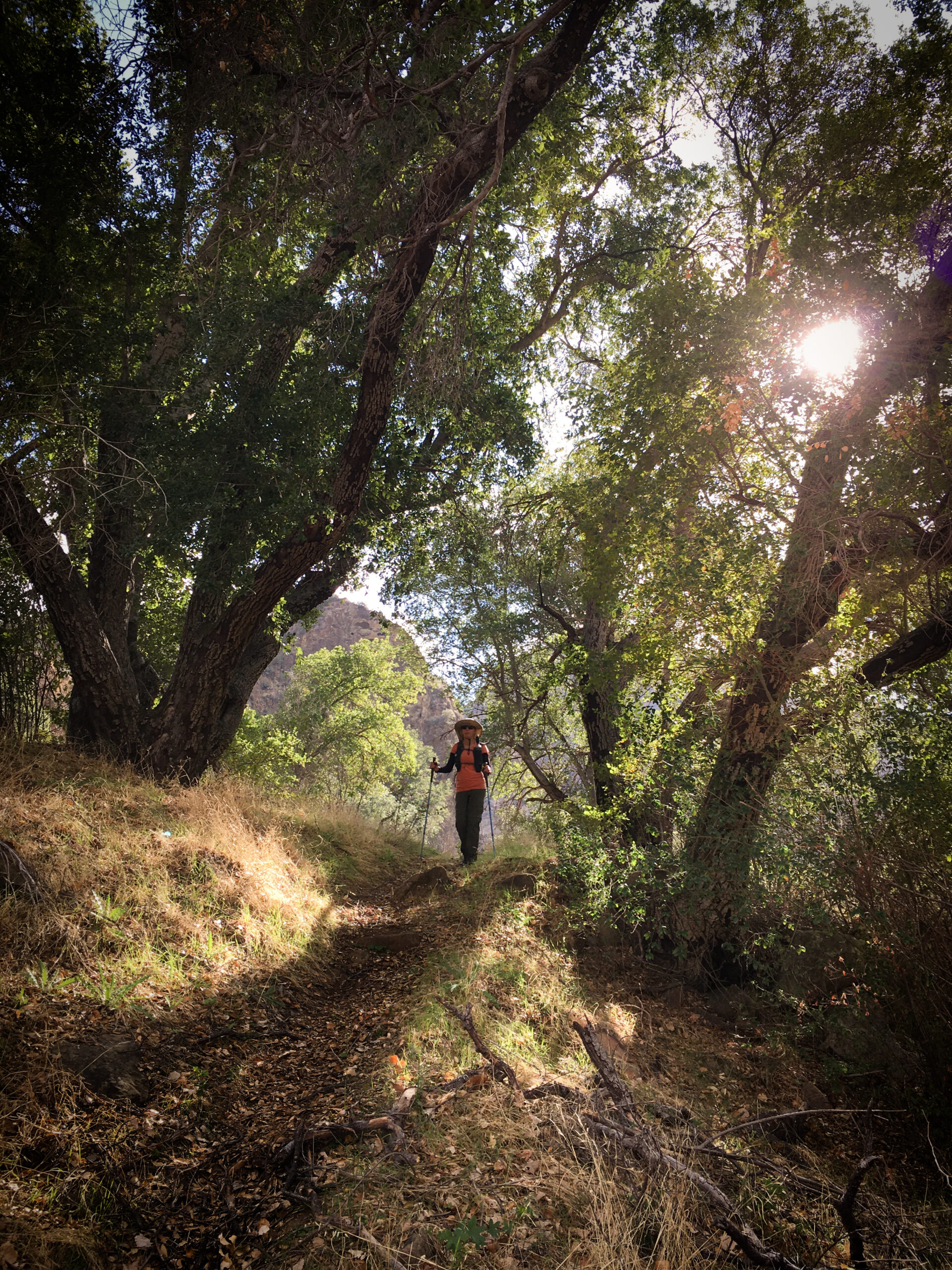
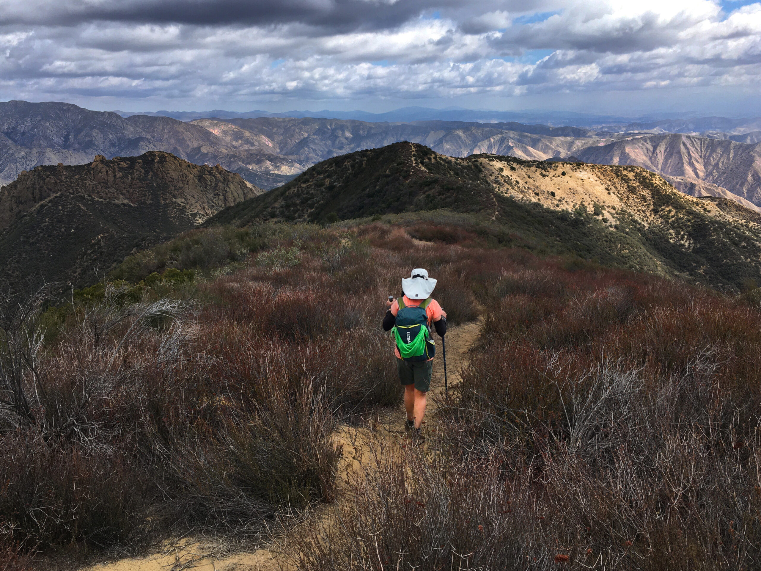
Glorious trail!!
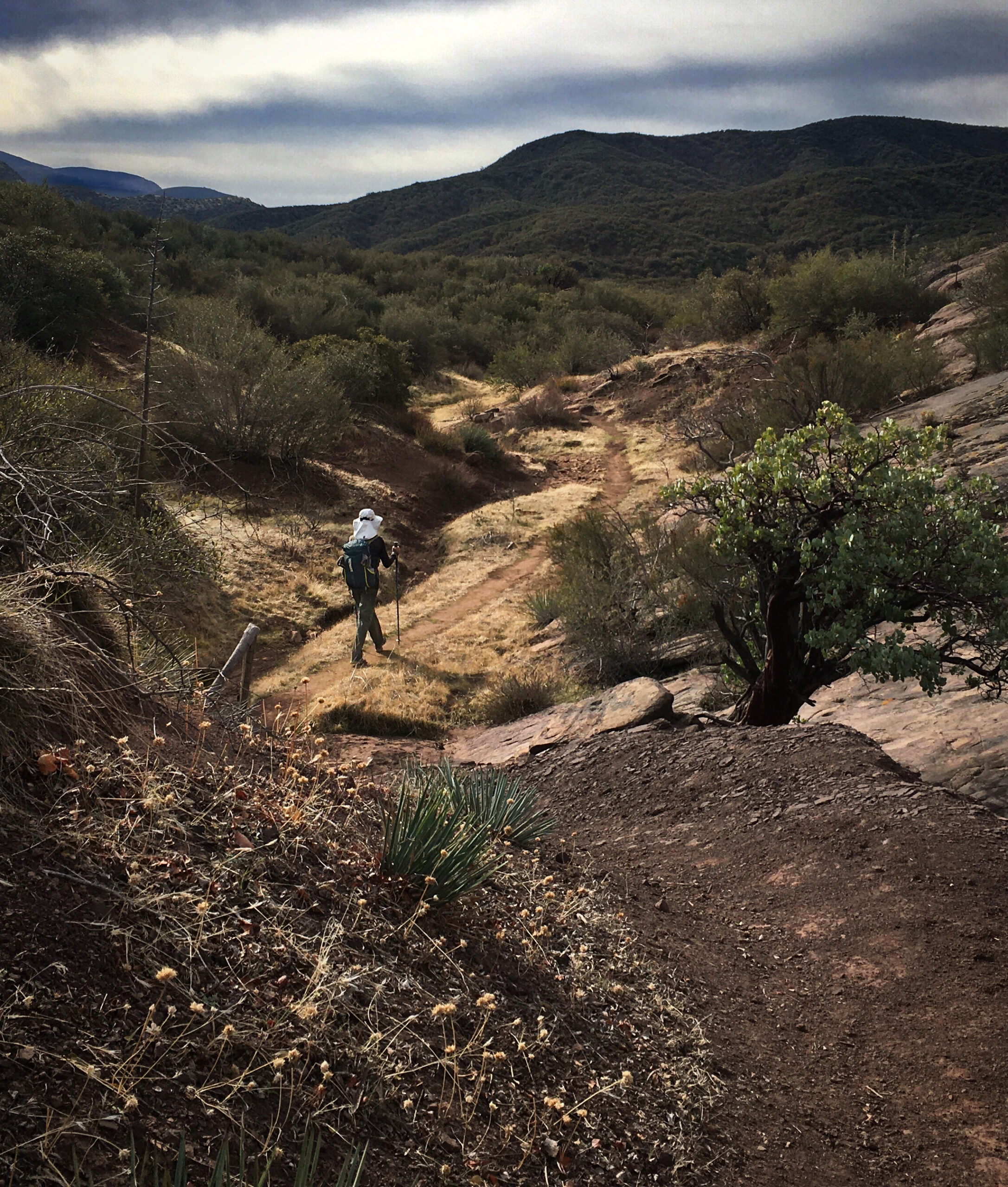
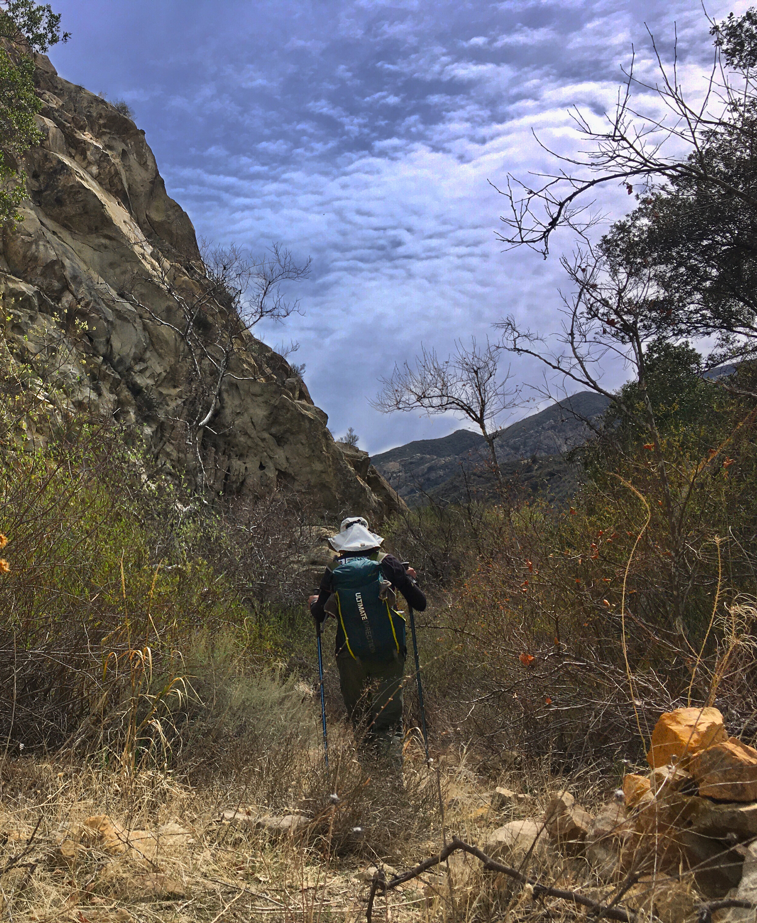
Headed off to Ant Camp. The trail started out clear!
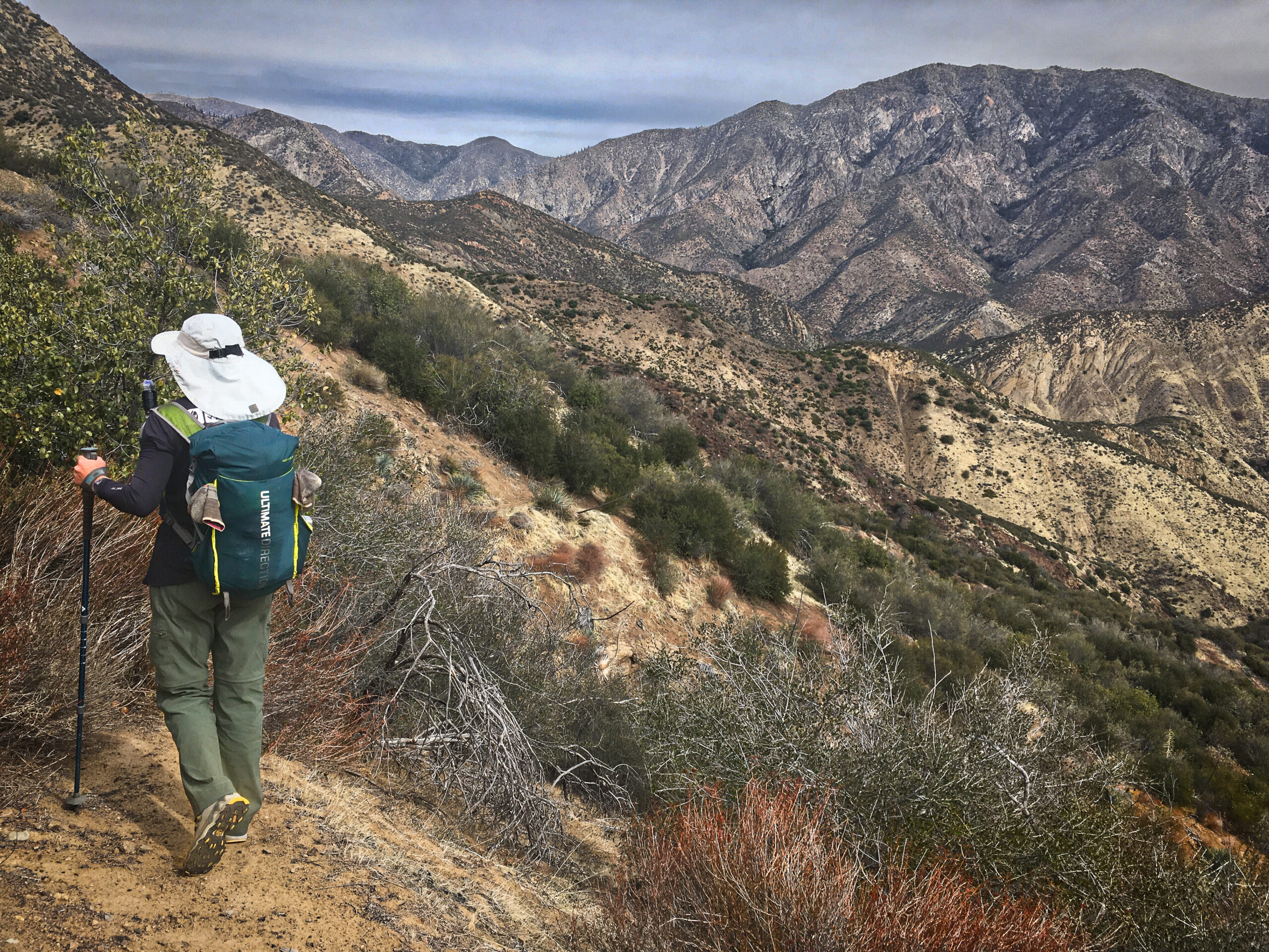
The Los Padres is extensive and wild!
A day of bushwhacking- but excellent solitude. We kept our eyes on the clouds because we knew that weather would be coming in the next day or so. Our weather forecast was a little old by this point.
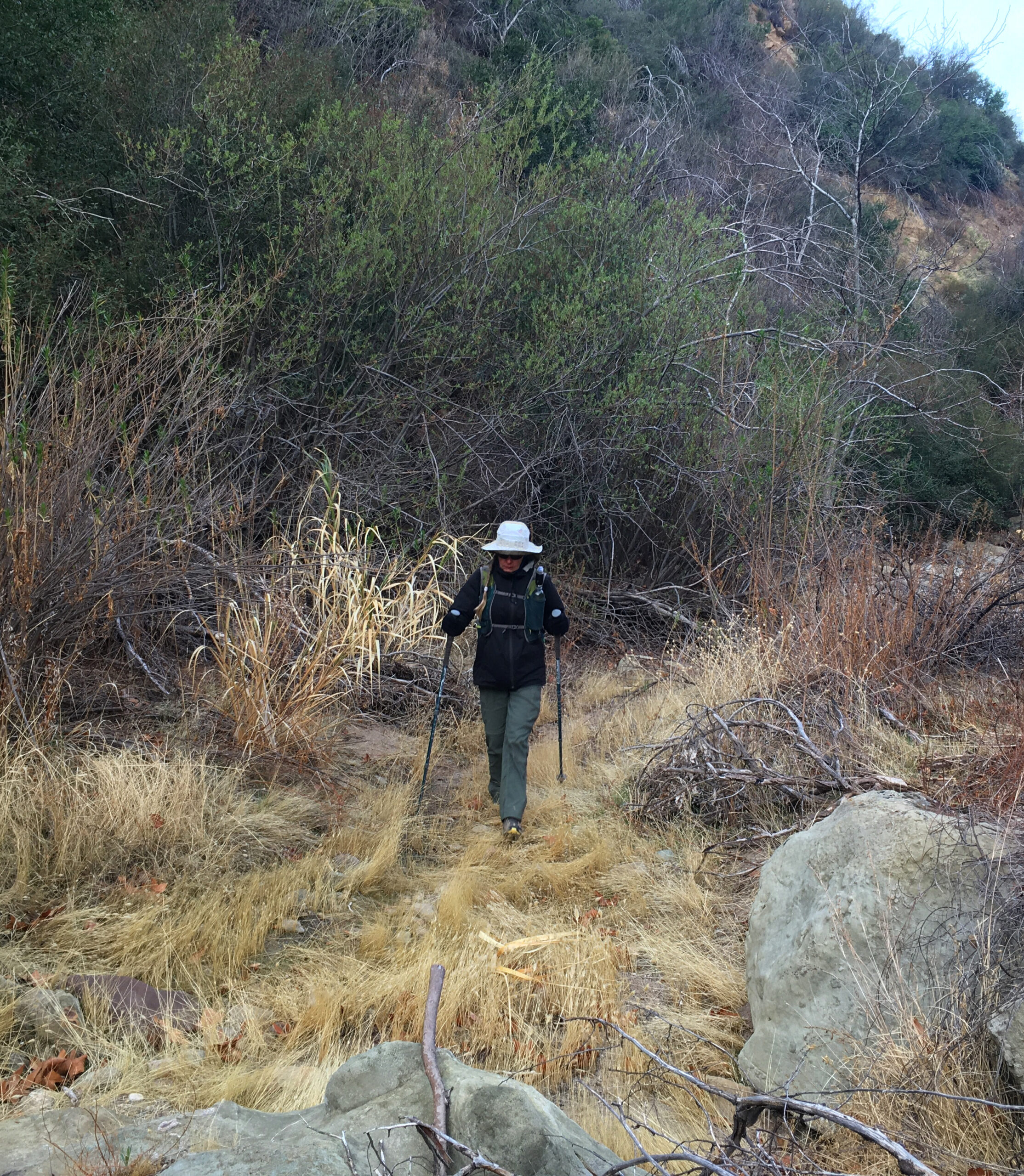
Janet navigated very well today! I was worried about her but she had no problem facing the challenges and kept on moving!
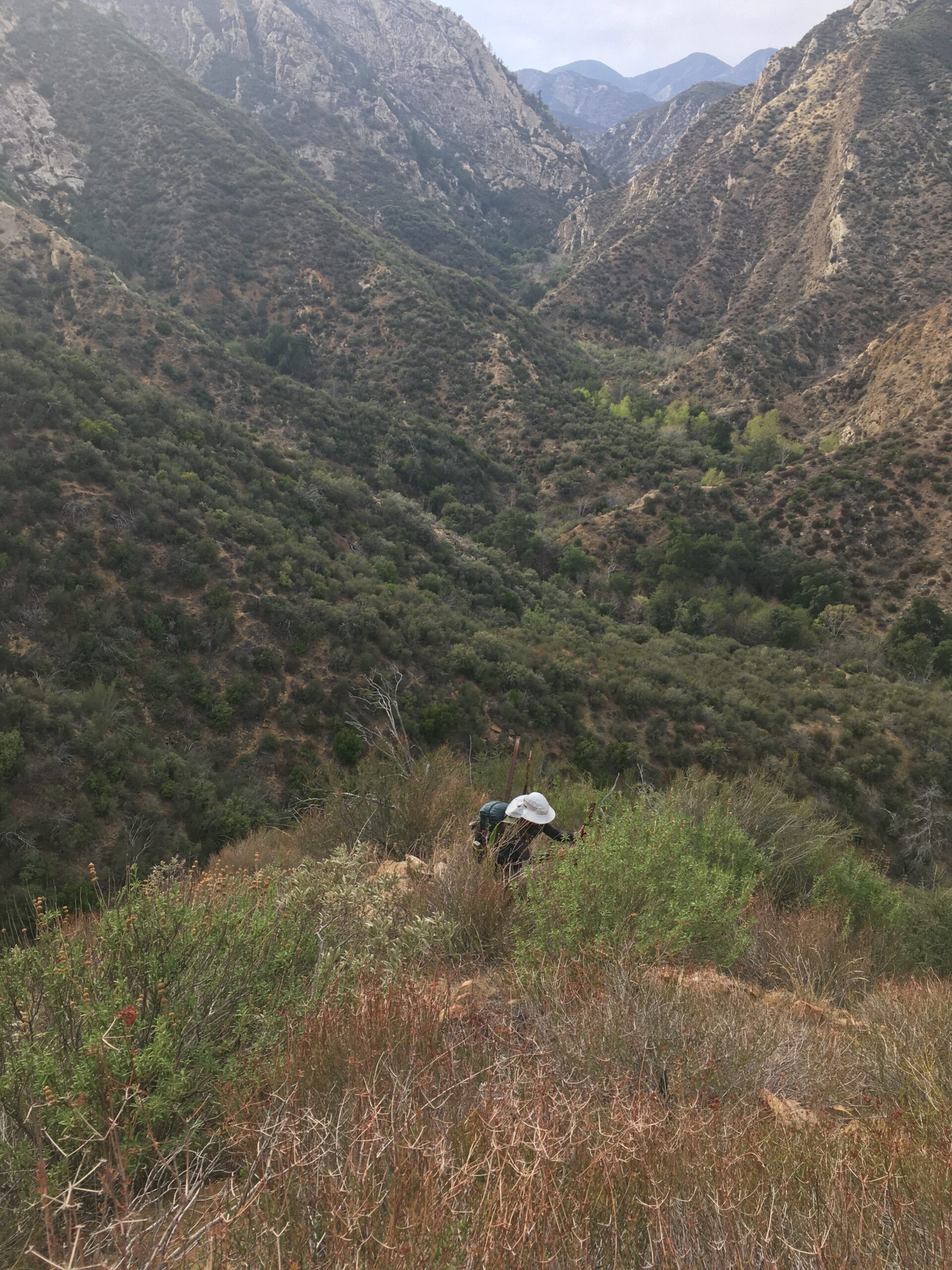
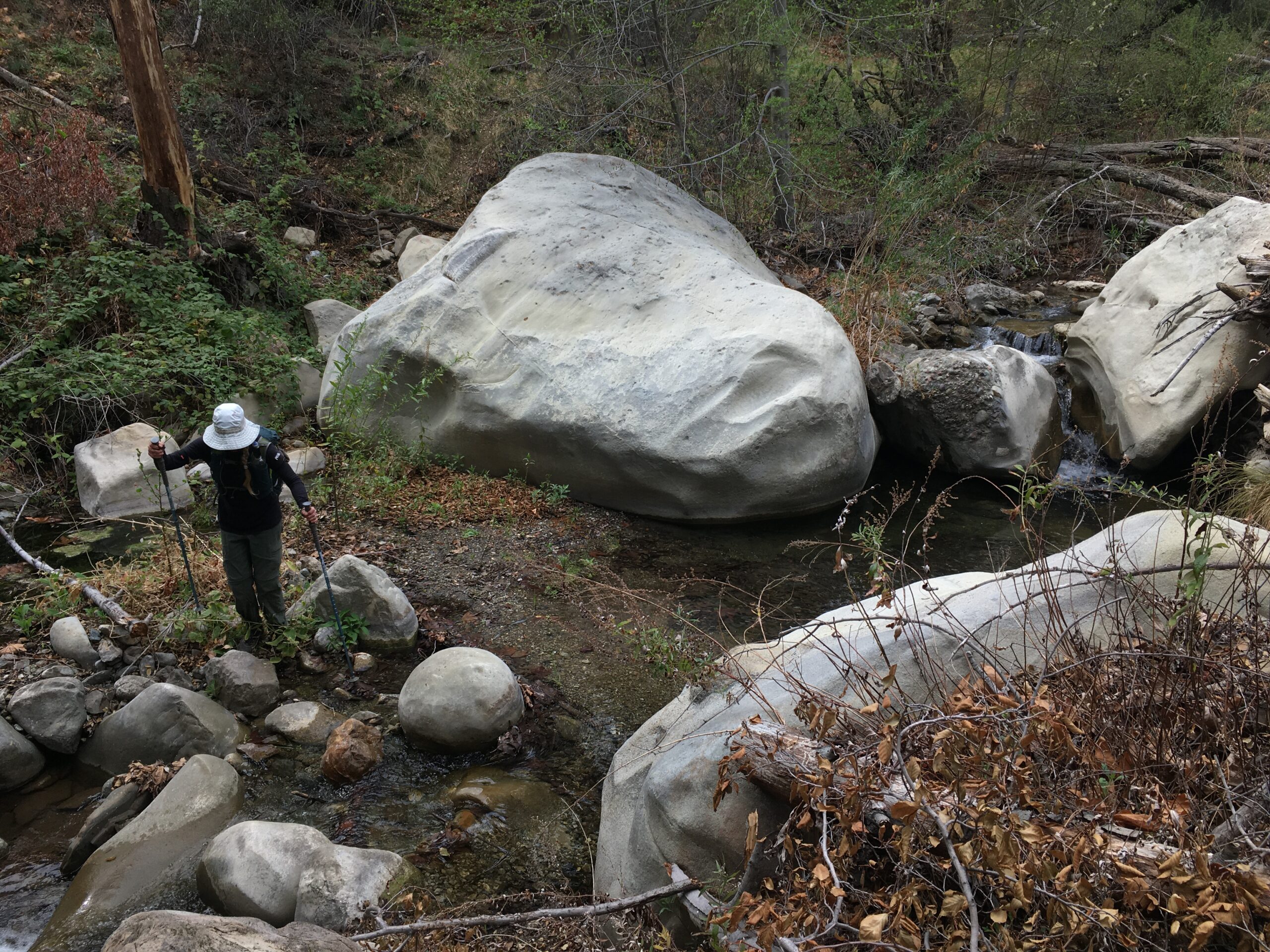
The route I had from the Condor Trail association had switchbacks going up this ridge. There was nothing there but brush – and much of it was a loose, hands and knees scramble. We ascended over 1,000’ this way. From where I took this picture, a helicopter flew in – very low – tracing the shape of the narrow valley. We were nearly eye level with it, and I thought one of our friends had called for a rescue. Since we were feeling a little desperate on the steep terrain, I tried to use my phone as a mirror to get their attention. They flew past. Later, I asked Janet: “if they dropped down a ladder to get us out of here, would you have climbed on?” She replied, “No way! Then we would have to pay for it!” By the way, all that terrain you can see behind Janet: we walked the entire way at the bottom of the creek.
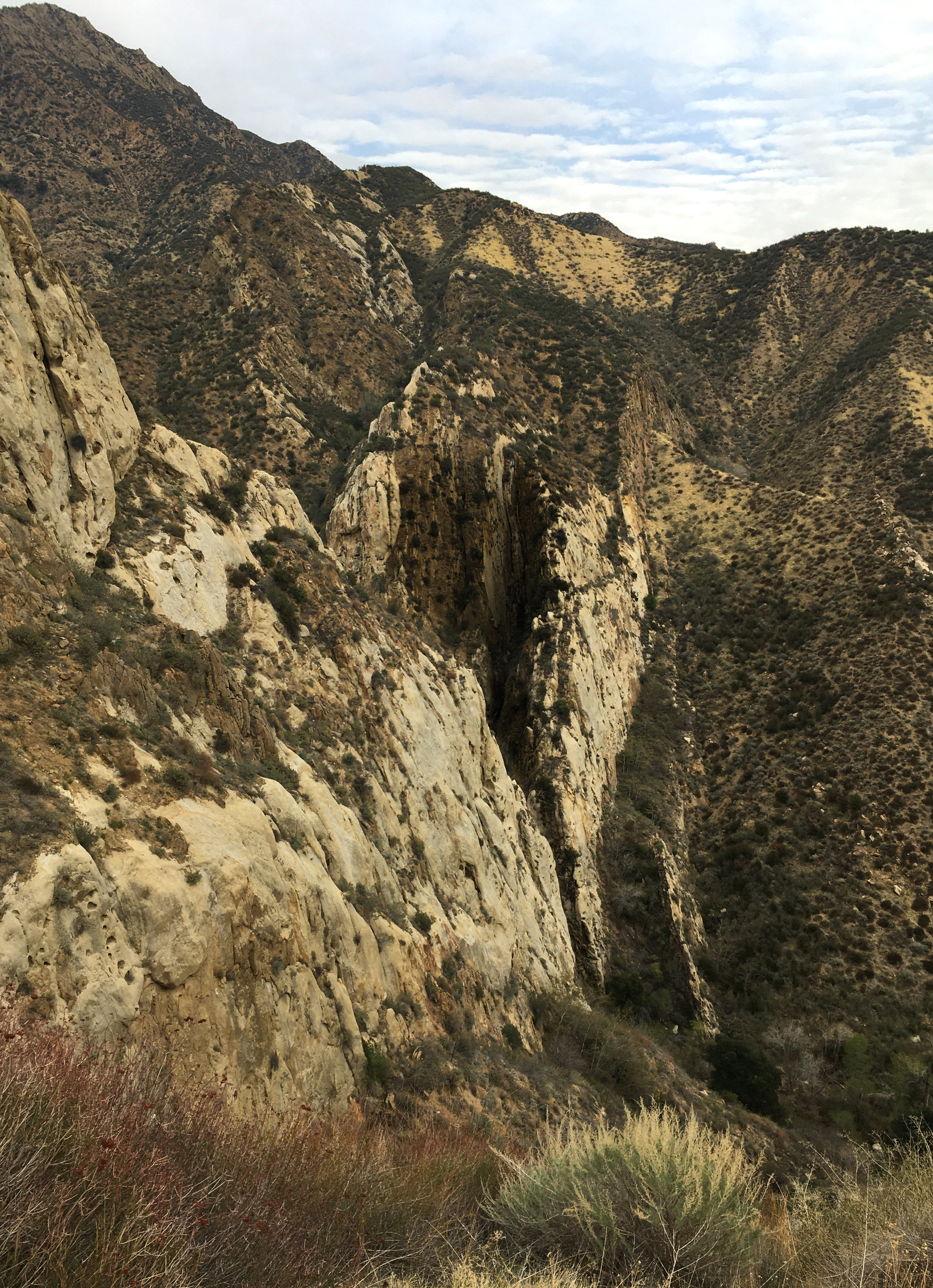
See that sliver in the rock? That is “Big Narrows,” and it is the reason we are way up here. We had been walking for hours in the river on the other side of this gorge, but the route takes you up and over a very steep and sharp ridge to avoid it. This is when i was wishing I had my drone with me – it would have been neat to check it out from here. I was also wishing we had more time – Big Narrows was pretty awesome!
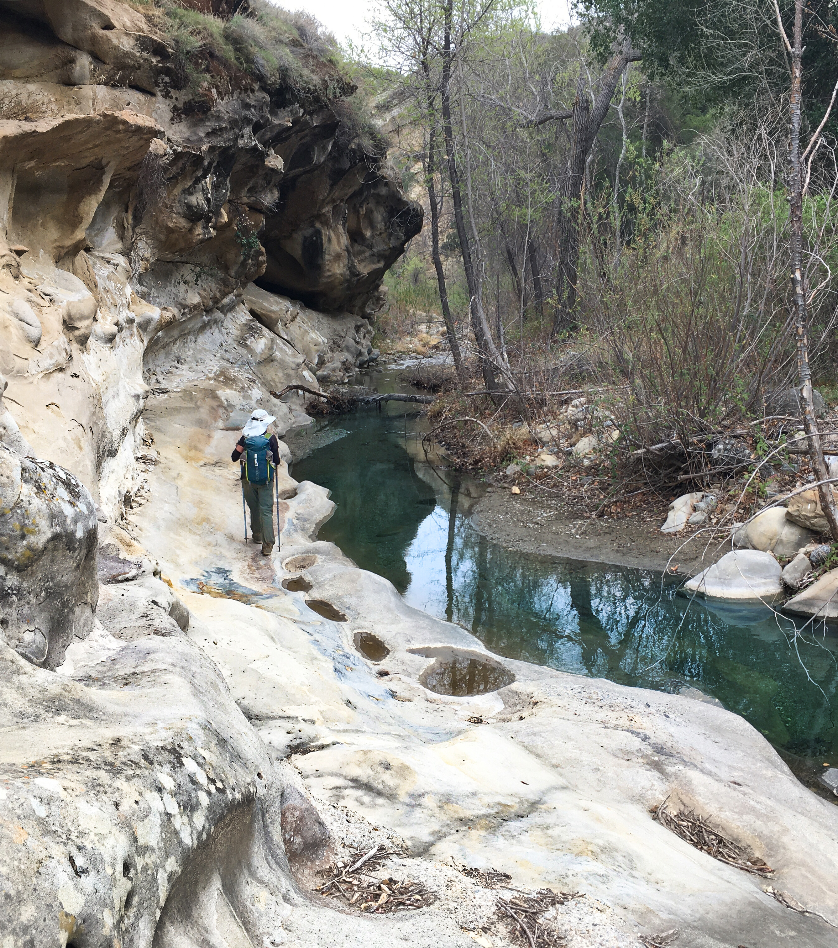
Walking along the Agua Blanca creek after a stressful crossing over a ridge to avoid “Big Narrows”.
Janet – you are so awesome! Janet and I would use clear sections of the creek and make a couple hundred feet progress. Then it would be choked with willows and we would have to go on the banks and seek routes. Sometimes there would be cairns or flags. We would get excited, but it usually only meant a hundred feet or so of overgrown deer path – and then another confusing area.
Lost my GPS track from today – and I’m in the business of repairing FIT files. What happened is I tried to use the Garmin Explore app mid-hike to re-upload waypoints which Garmin Explore had deleted the night before. Note to self and others: don’t use Garmin Explore mid-activity. Using Janet’s data instead.
This is where we finally hit trail again. We were so happy and joking with each other how what we used to consider to be “crappy overgrown trail” was actually now awesome trail!
Getting ready for the final drop into Lake Piru! It is a steep one. I only saw 3 ticks on me (Janet had zero). Only one of them managed to bite me before I found it.