Skurka High Basin Route With Steve
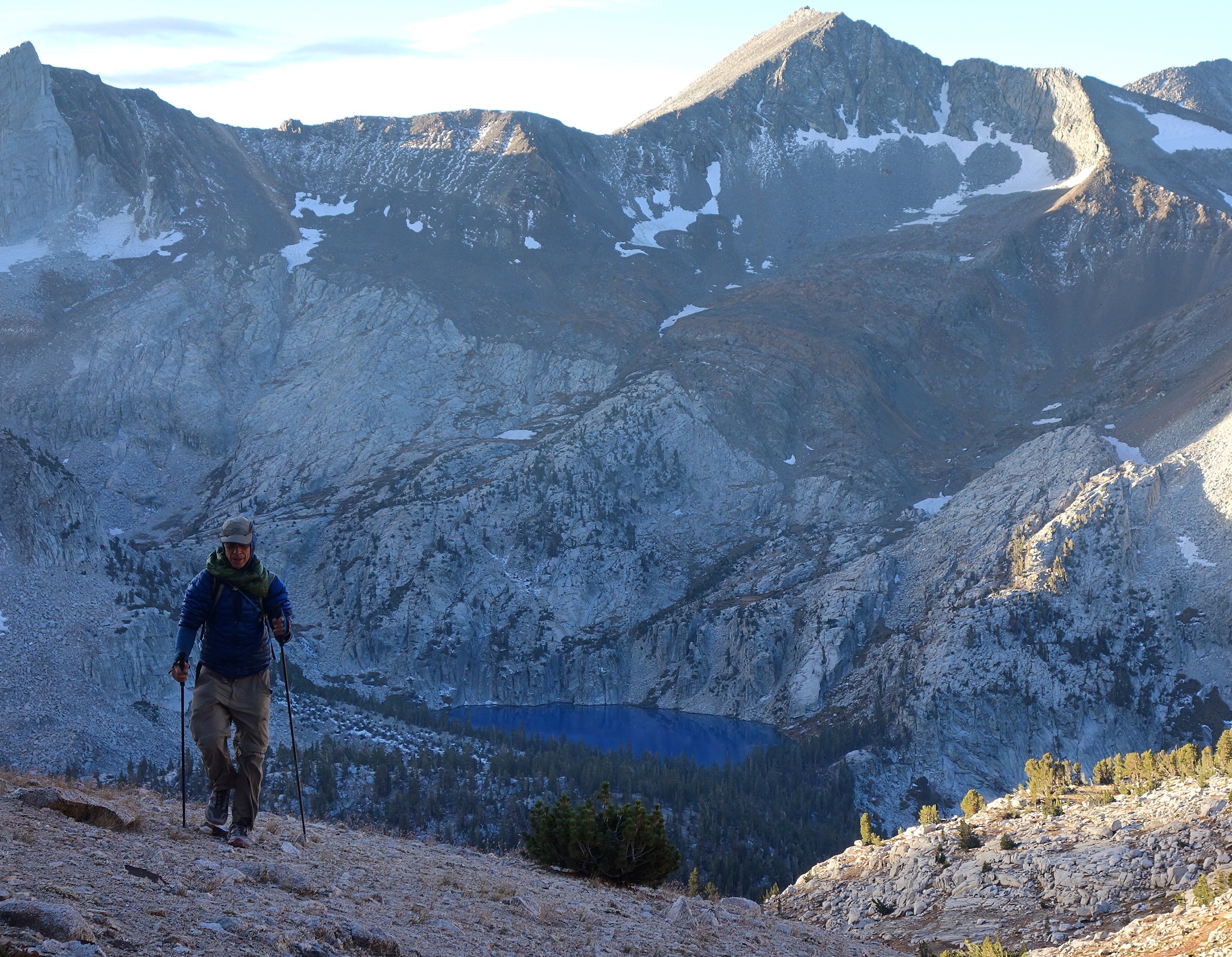
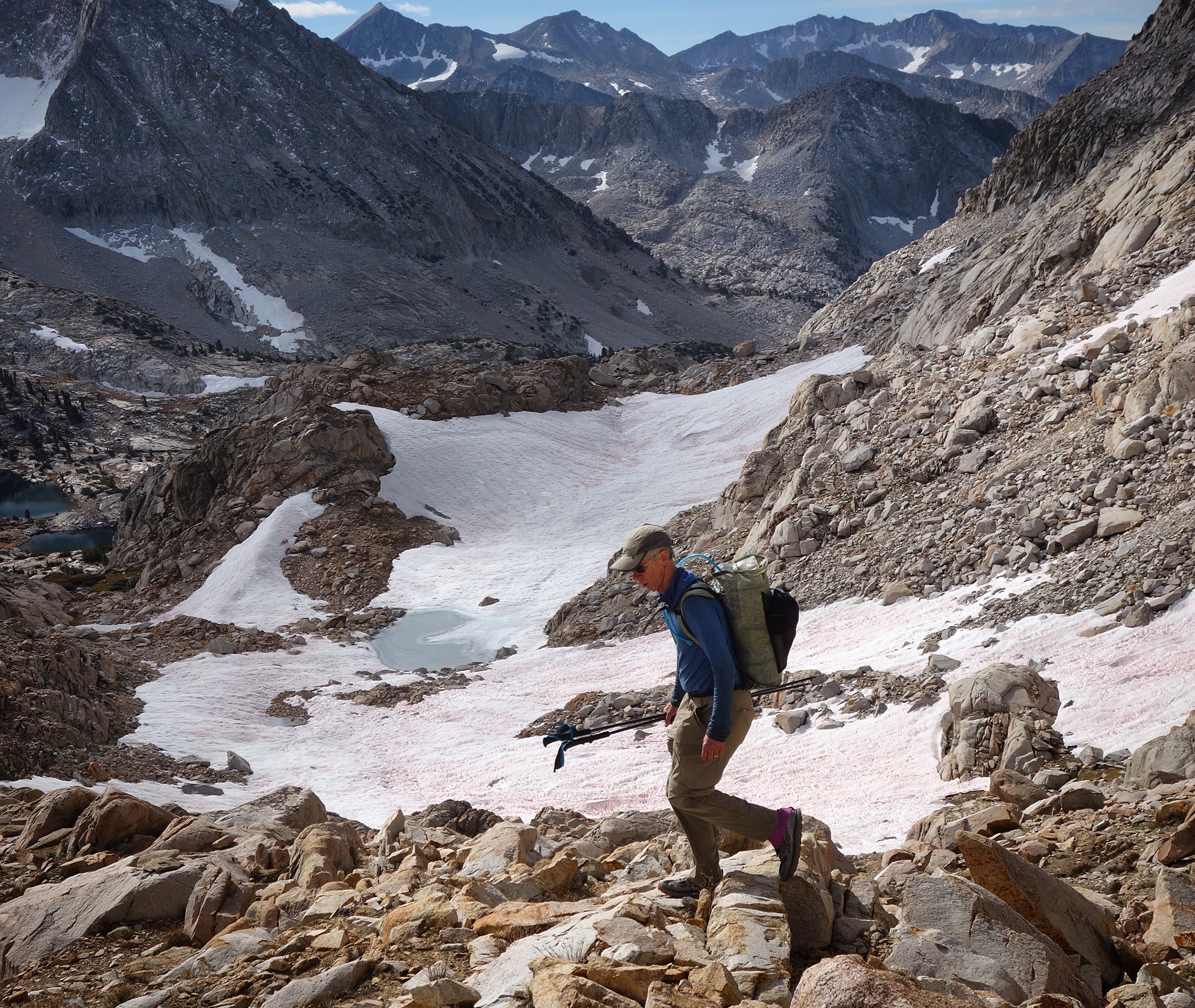
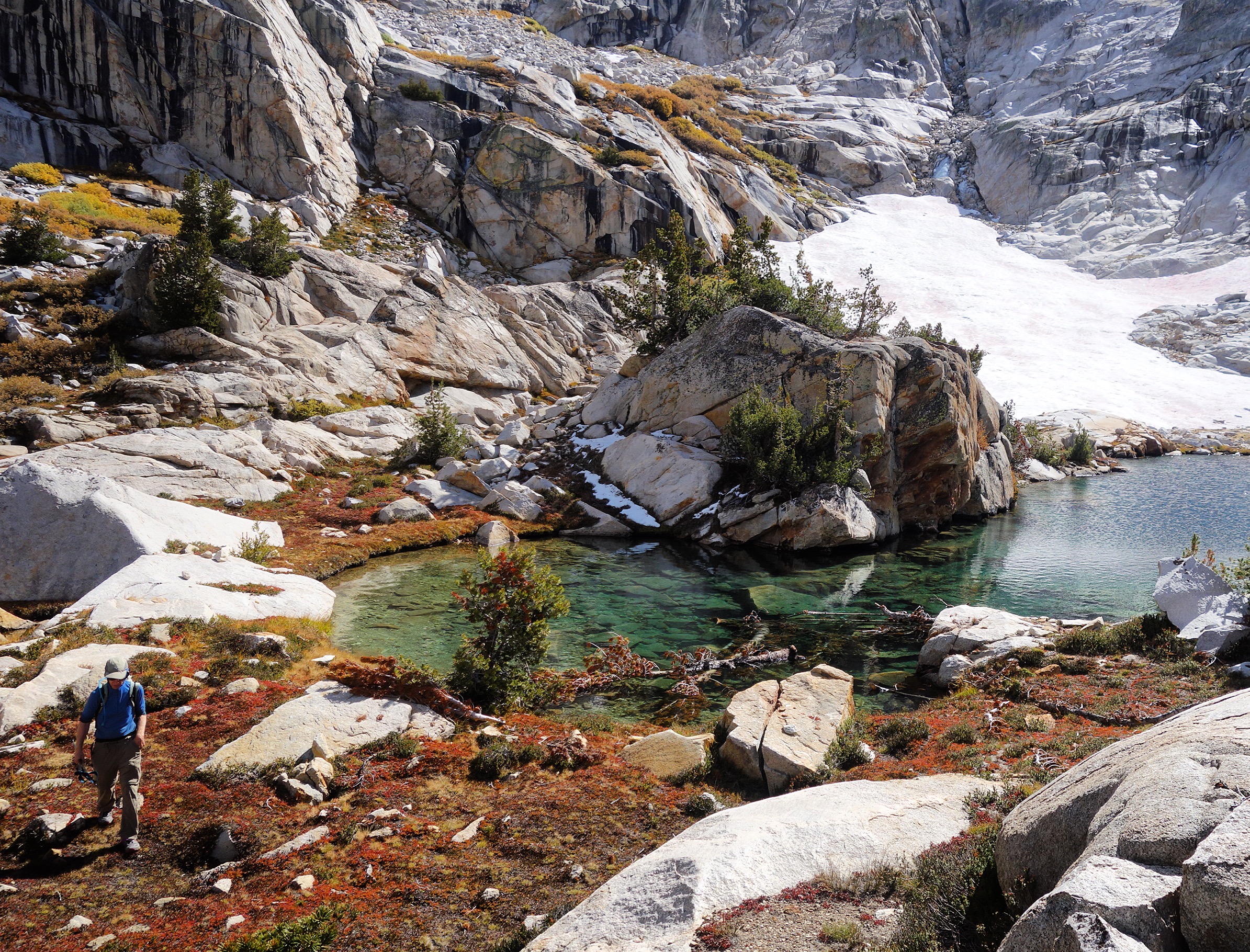
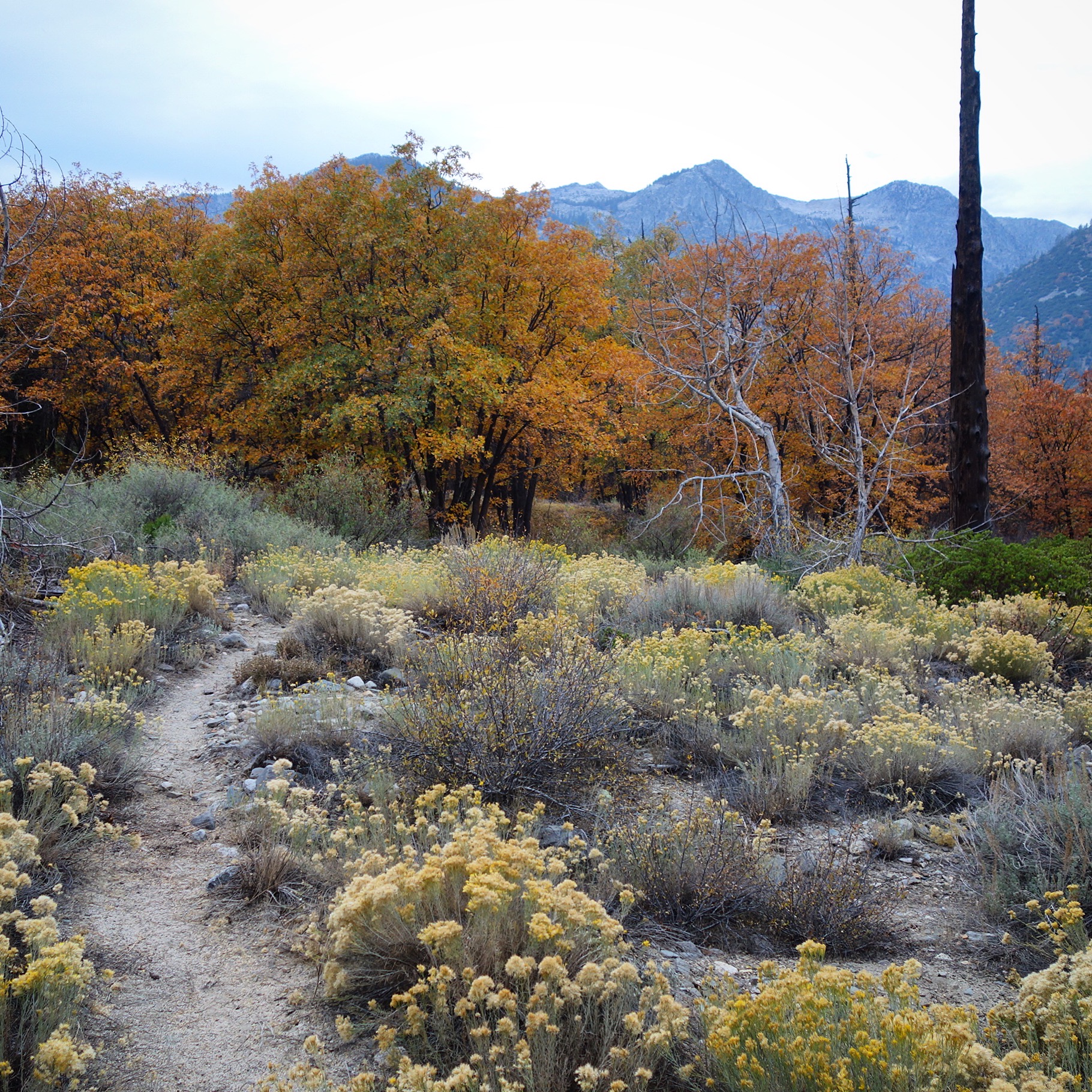
In October of 2017, my late friend Steve Purcell invited me to hike part of the Skurka High Basin Route. He had already done a previous leg of the trip – but invited me for the second portion. Steve was enamored with Andrew Skurka’s routes after having seen him speak publicly. He hoped we could do more of these routes together in the future… I did too. 😞
This is the map for the entire route discussed in this post. To Export GPX files, click on the three horizontal bars in the upper right hand corner of the map and select Export selected map data…
To see full screen, click here (opens in new window)
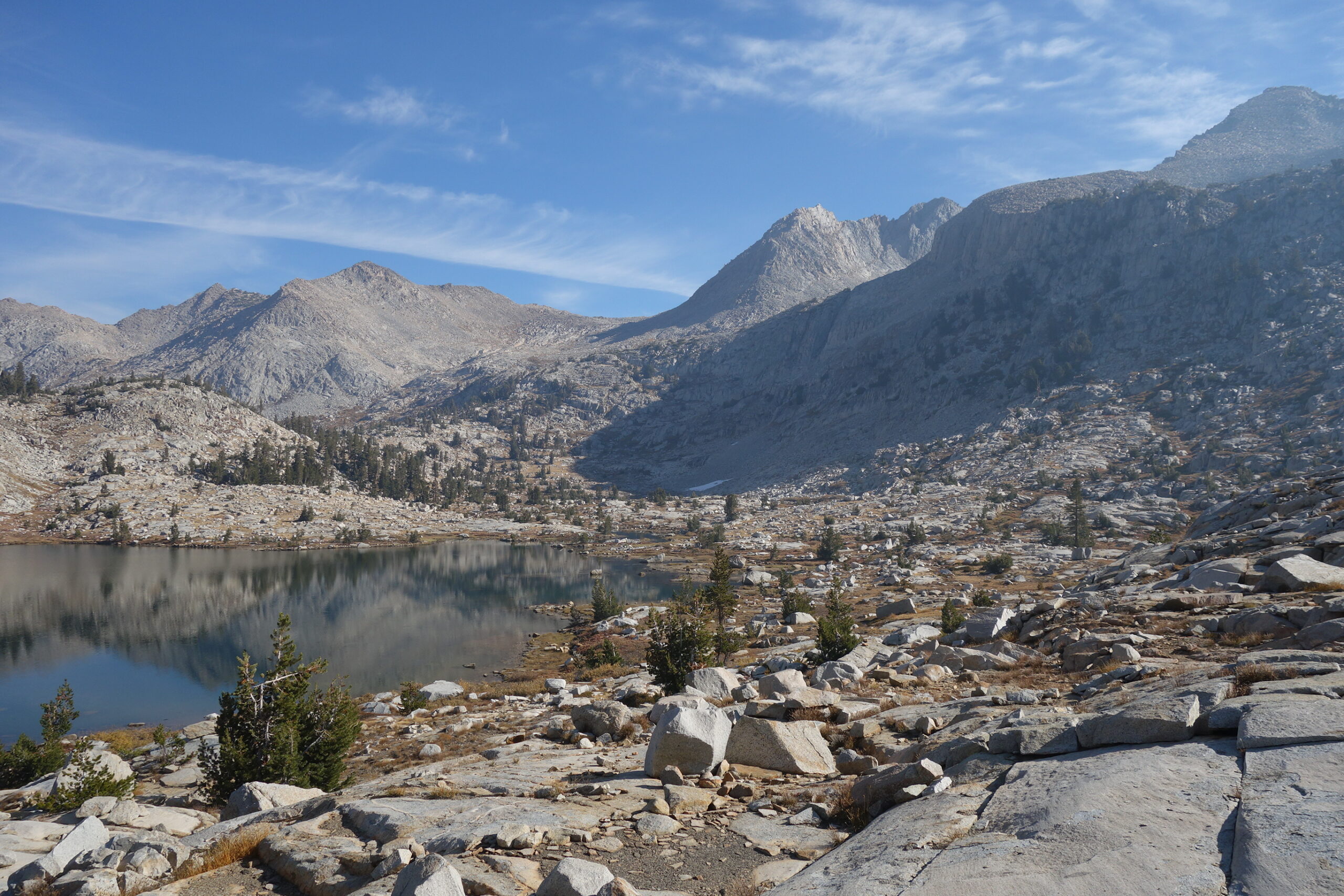
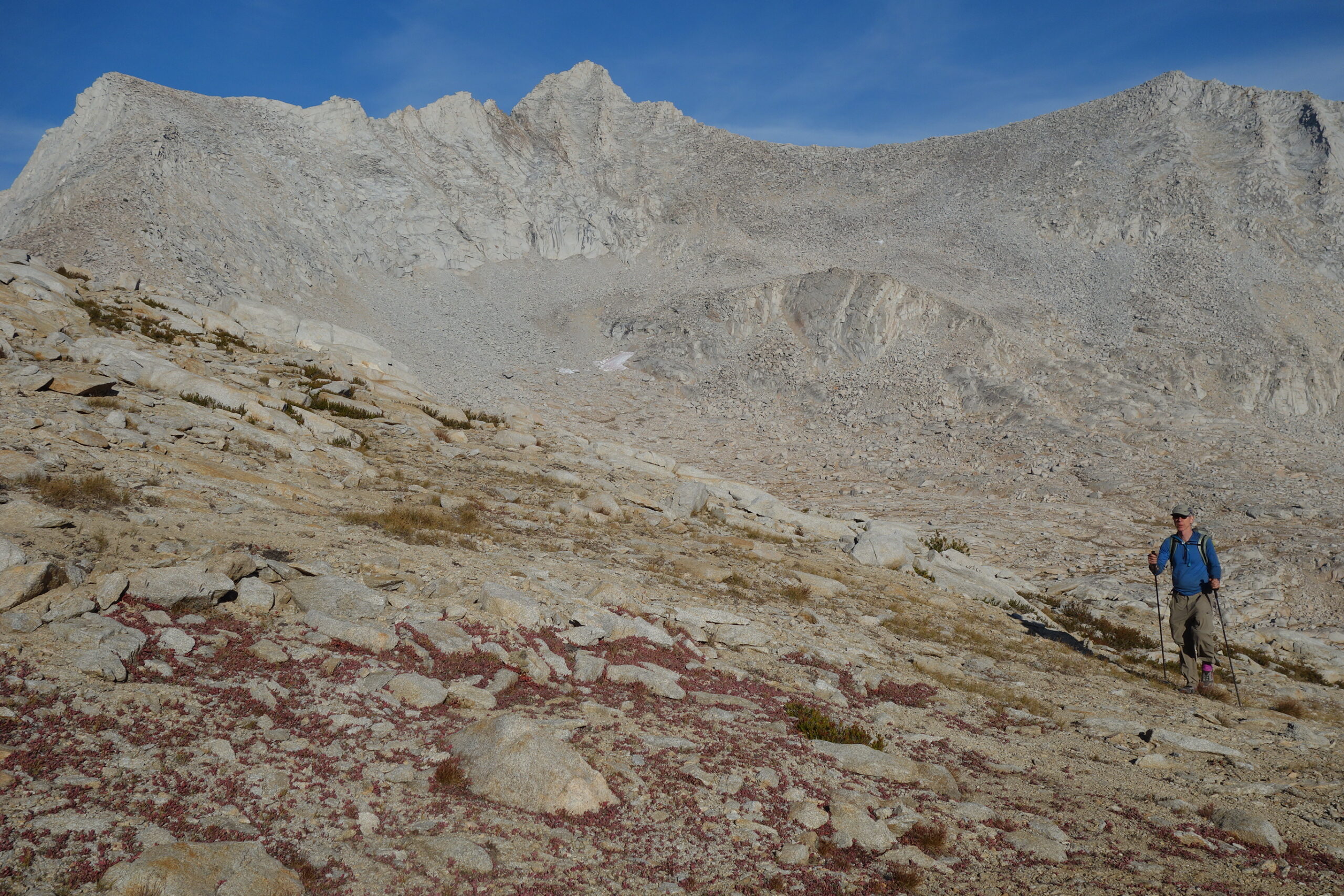
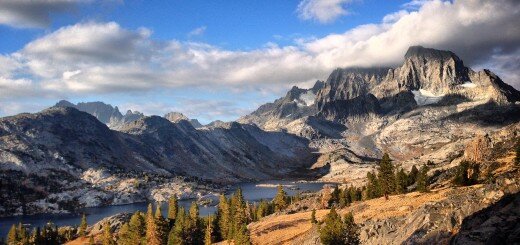
The Skurka High Basin Route is an established route, so please refer to the linked website above if you’re looking for guidance. This post is simply a photographic memorial of the trip I did with Steve, and not intended to be a guide in any way. Of note: My GPS track descends the Middle Fork of the Kings River. The intended route is to descend Enchanted Gorge. Andrew Skurka himself had NOT SCOUTED that section, and I had already been up in the Ionian Basin… and thus was aware of how unpleasant the Enchanted Gorge actually is. Between that knowledge and incoming rain/snow, I opted out of that portion of the route.
![]()
![]()
![]()
![]()


Thank you for this Post Brian. I was able to read a lot more about Steve, his passions, and his achievements. This tribute post is beautiful.