Beef Basin Bikepack Route
This route was designed by Janet – and it is possible to do the full 83 mile route in very long day. It took us two days bike packing style. After we rode the route (see what we did at the very bottom of this post), we created a map and GPX file that differs slightly from what we actually did. We believe that the GPX file is a better way to ride the route:
GPX file of Our Suggested Route
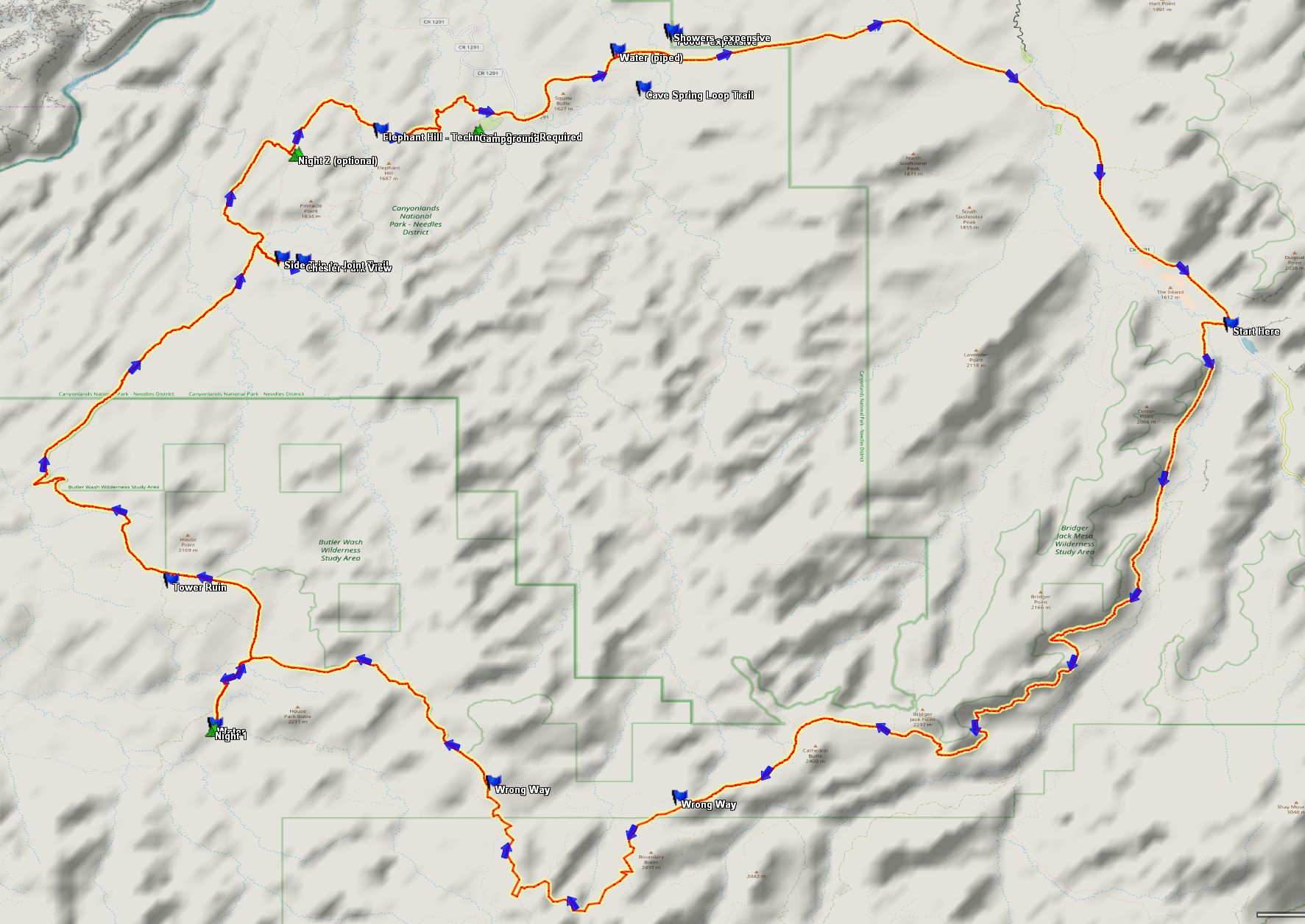
A Proposed 3-day 2-night route based on our experience. This route is in the opposite direction of what we did.
If you want to do this route in 3-days, 2-nights, you may wish to follow this proposed route. One thing that differs from what we actually did is the routing on Beef Basin road. We tried to take a shortcut that didn’t turn out so well (so the GPX track takes you around this). Also, the GPX route for our suggested route is designed around the water availability at Stanley Springs, and it allows plenty of time to take your time and visit the neighboring sites. In the track, we include waypoints for the attractions along the way – including 2 hikes. Note that you will probably have to remove the “.txt” extension before loading it into your GPS (our server does not permit storage of GPX files).
You will need to get a free permit just to ride your bike through this part of Canyonlands National Park. You can get that permit at the ranger station. It’s a day use permit – just for the Elephant Hill portion. One thing that confused us: there are two types of permits for Elephant hill – one for motor vehicles, and one for bikes. The vehicle permits had all been taken – but the ranger told us that it is “never a problem” to get the one for bikes. We just walked in and got our permit with no problem during peak season. If you take our suggestion about camping at Devil’s kitchen, you will also need to get an overnight permit. At first, we found the permit system a little confusing because there are several “districts” in Canyonlands. If you do decide to do this, your permit will need to be for the “Needles district.”
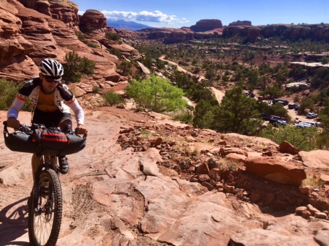
The Elephant Hill Trail is open to motor vehicles – but they only allow 12 permits per day – so you will hardly see anyone. This section is somewhat technical, but we managed to ride most of it in spite of having our bike packing bags loaded.
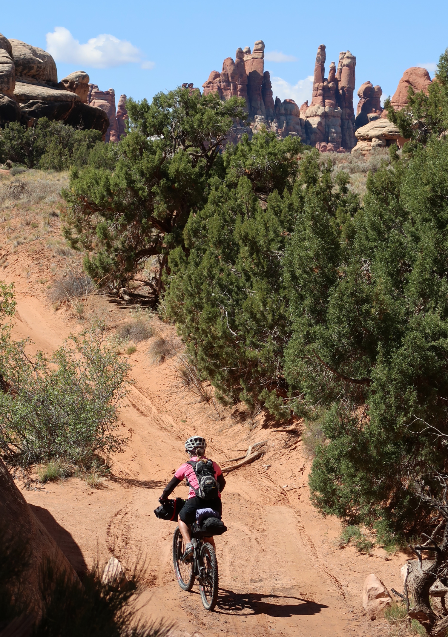
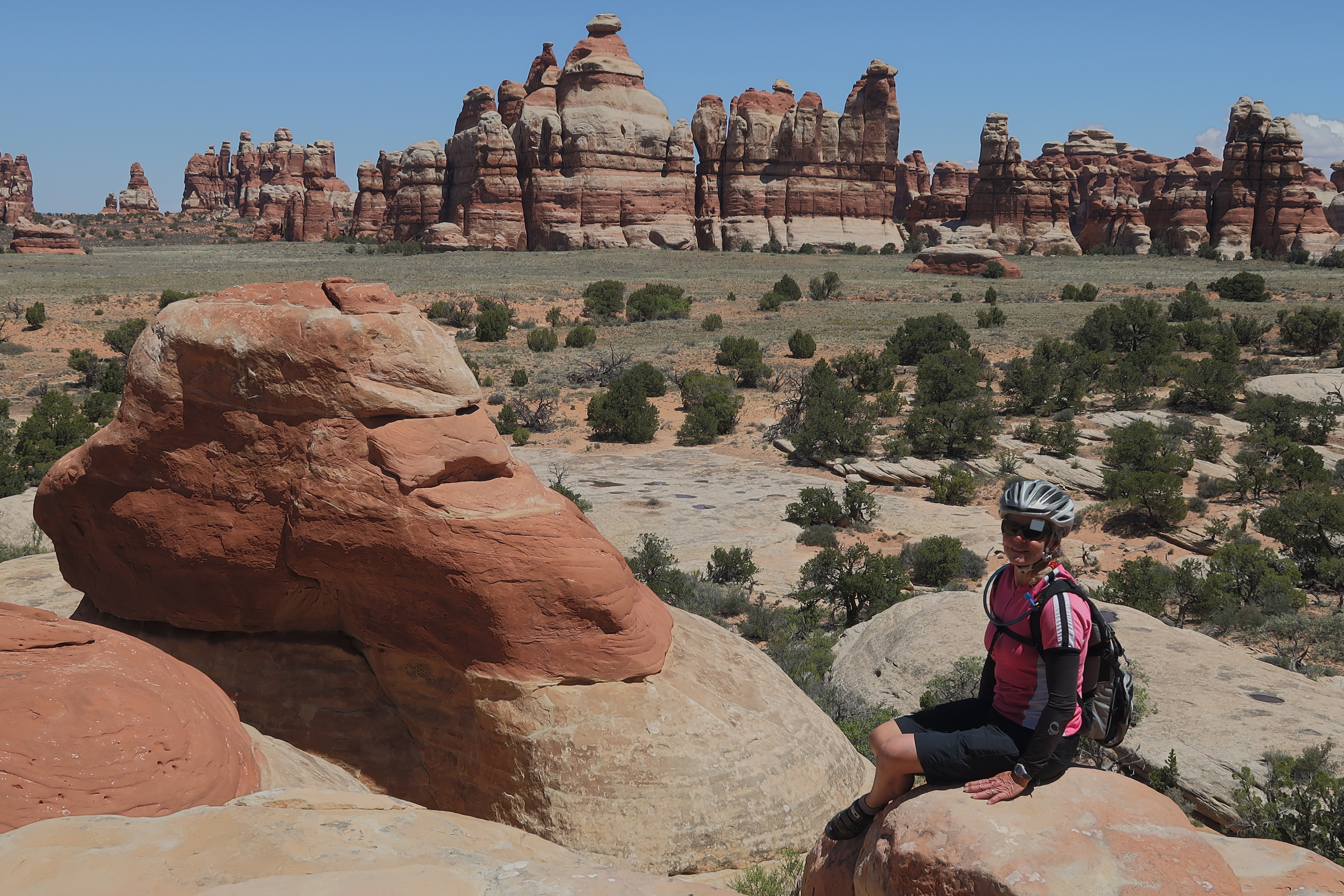
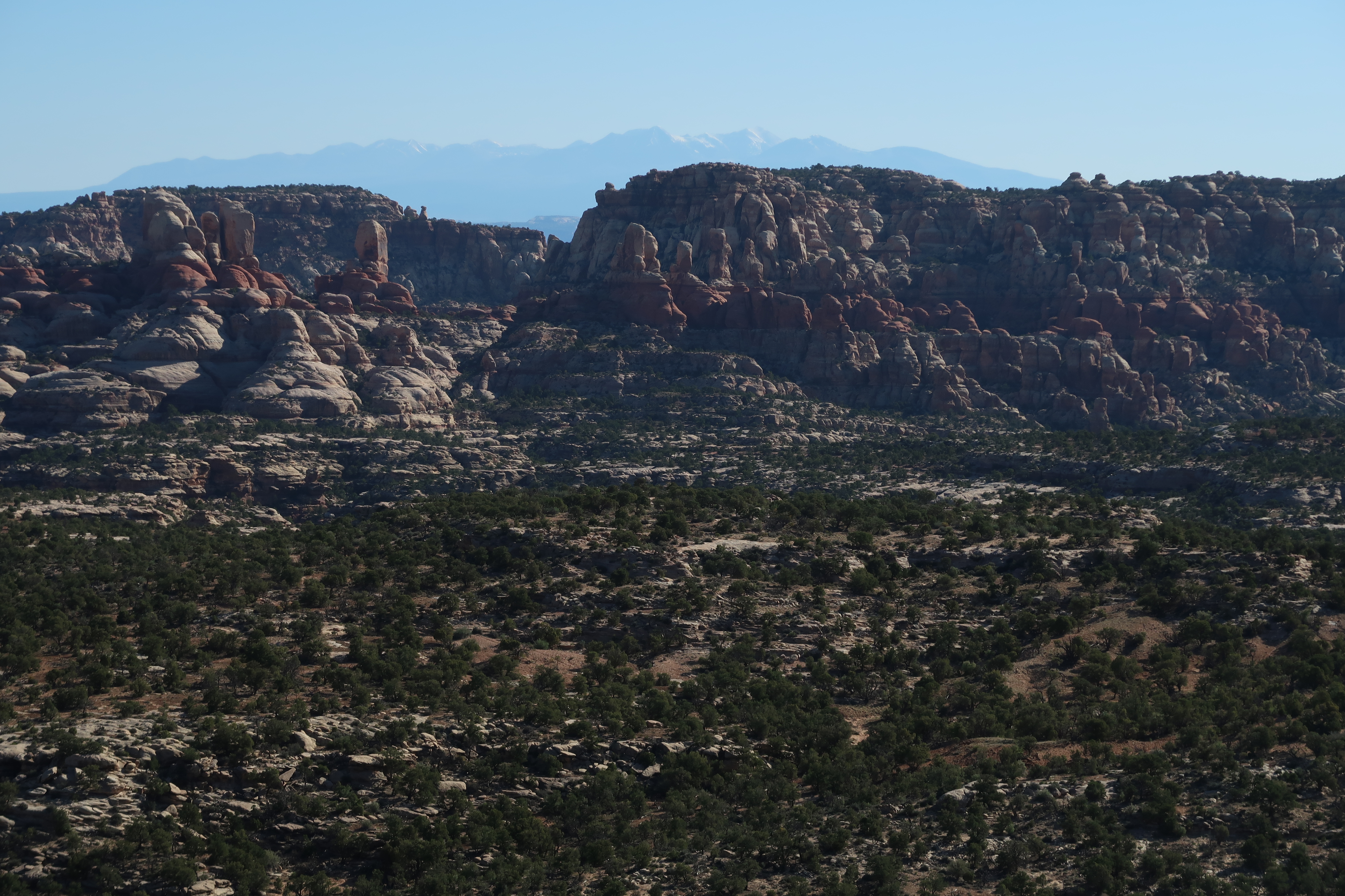
The Grabens
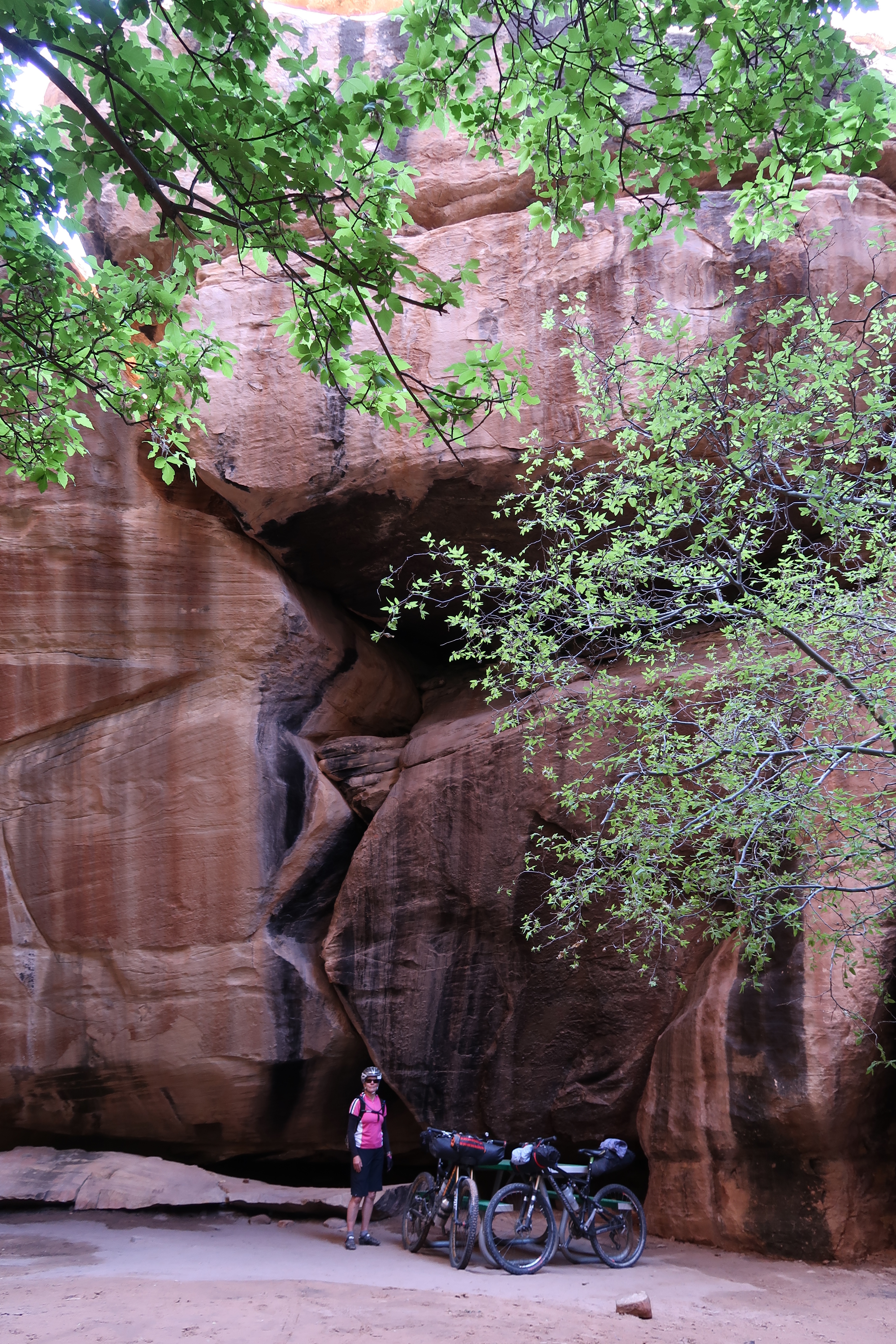
The Campsites at Devil’s kitchen were really cool! This one in particular was hidden in a little grotto. You do need to reserve the sites in advance, but if you had enough time, I think it would be worth a stay.
The view of Chesler Park from the end of the Joint Trail.
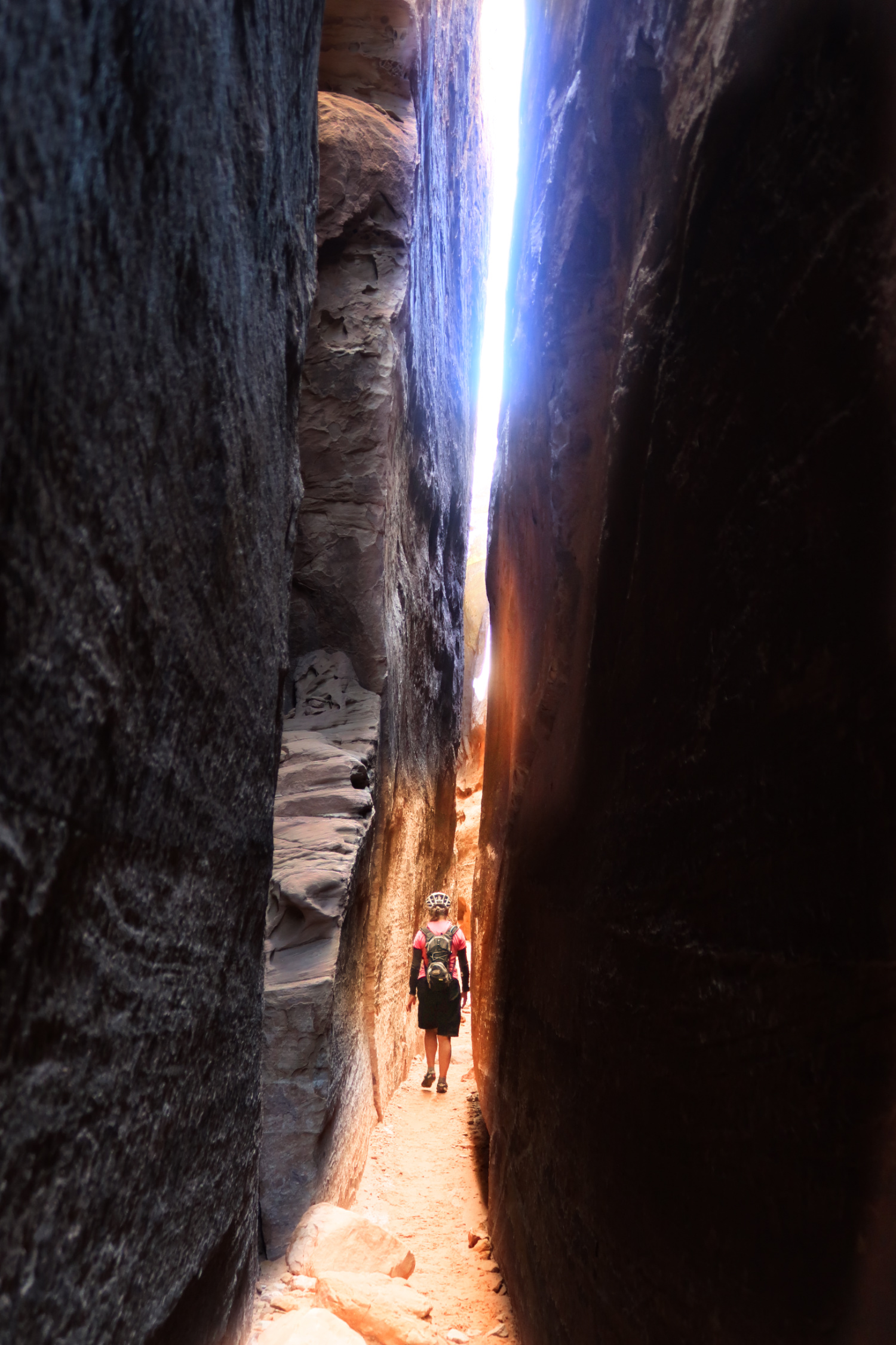
We took a side trip to hike the “Joint Trail” – I think it was well worth it!
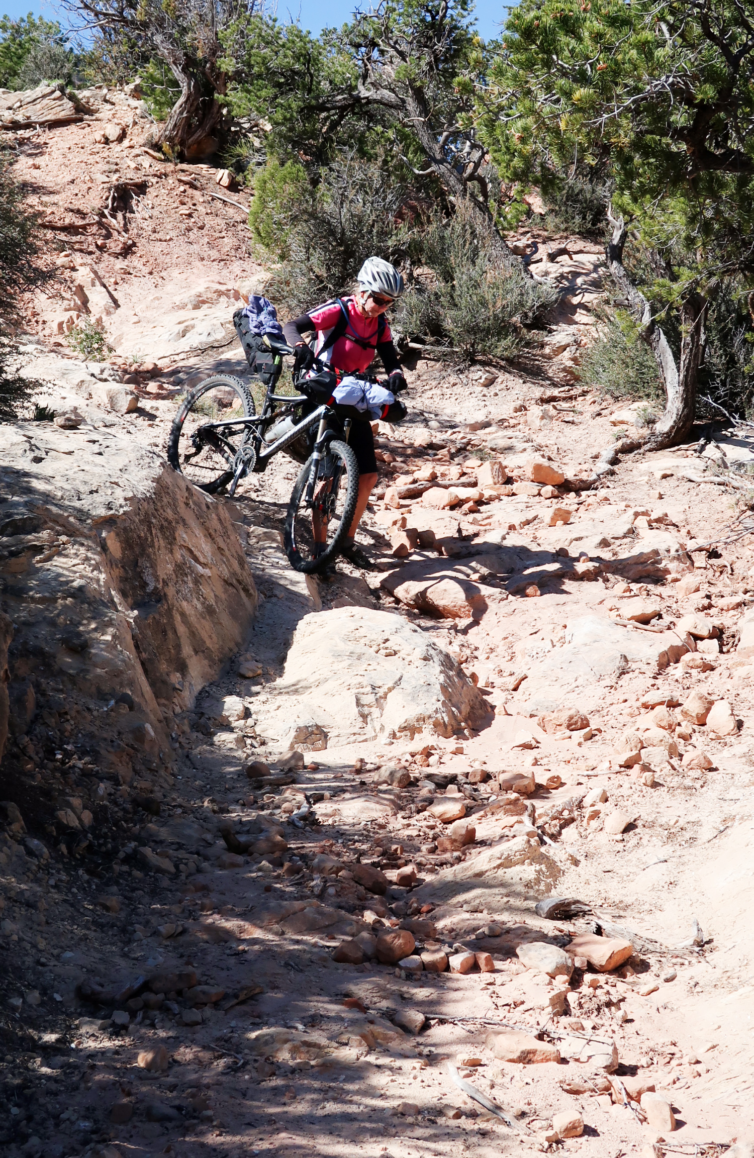
After the Needles, you will have a little work cut out for you.
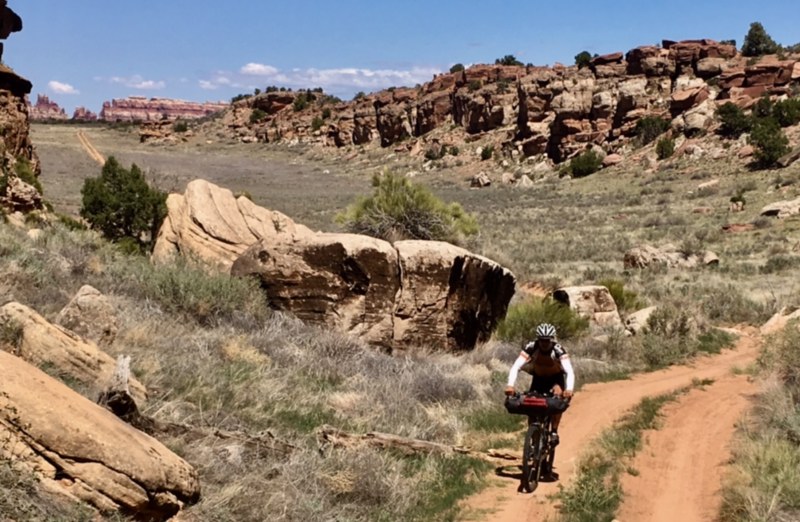
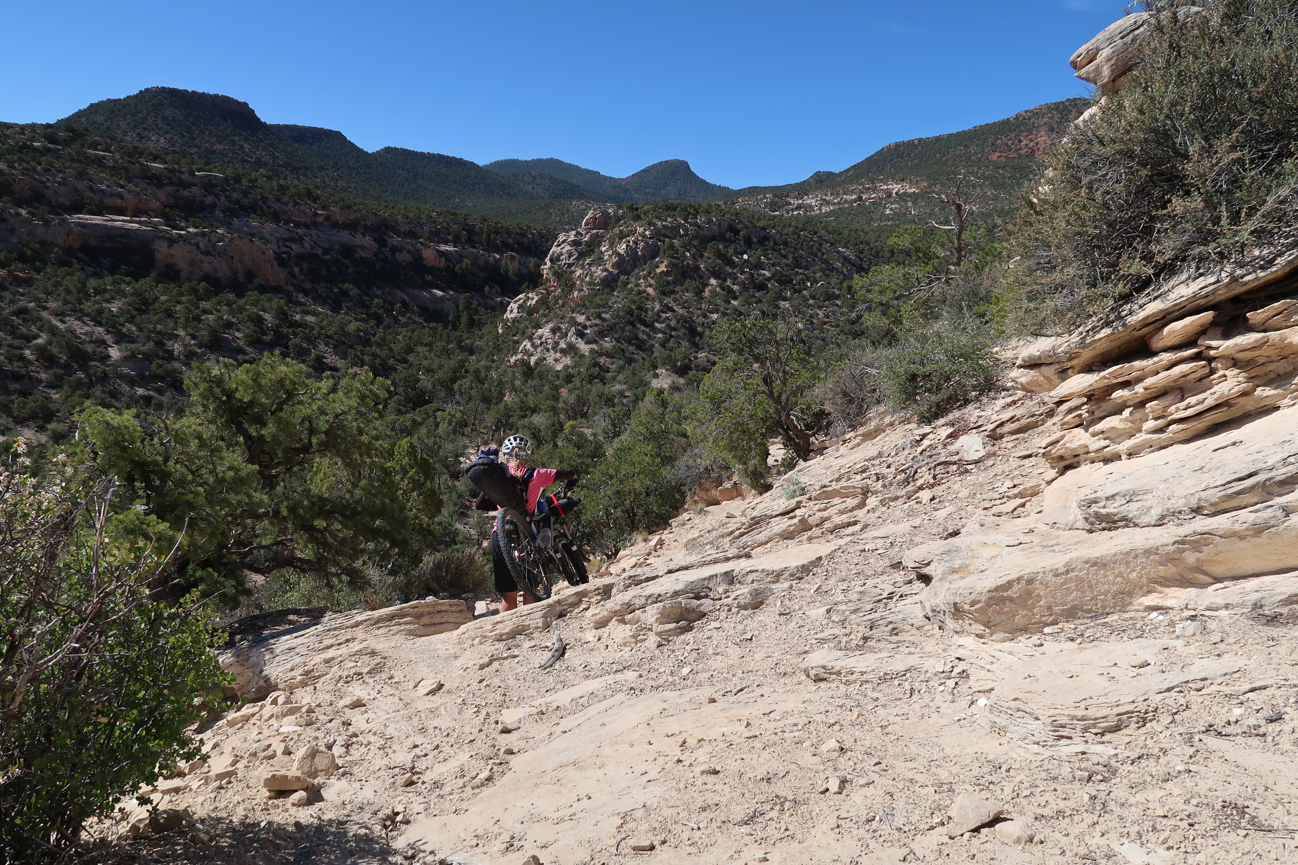
Janet on Beef Basin Road.
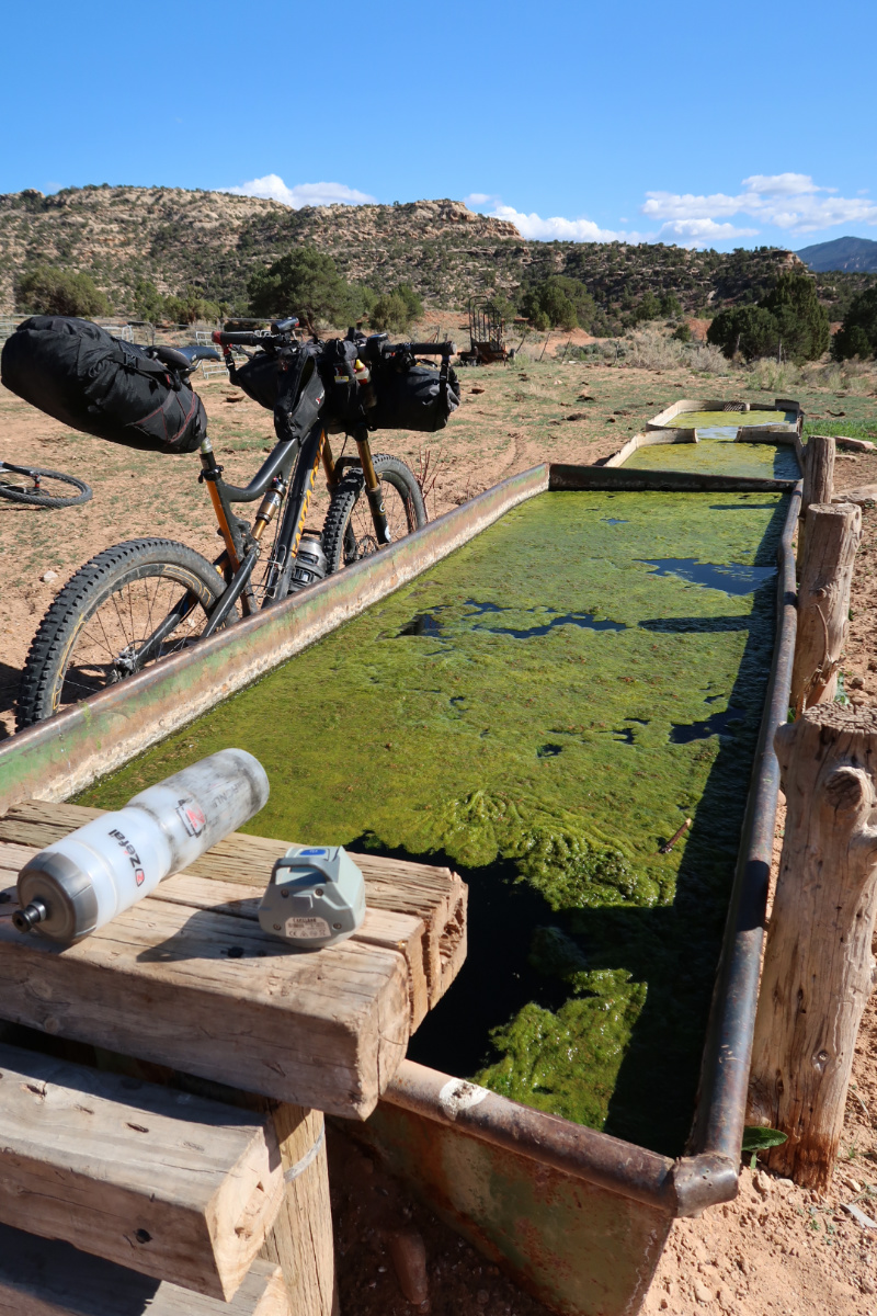
Stanley Spring – one of the few water sources along the route.
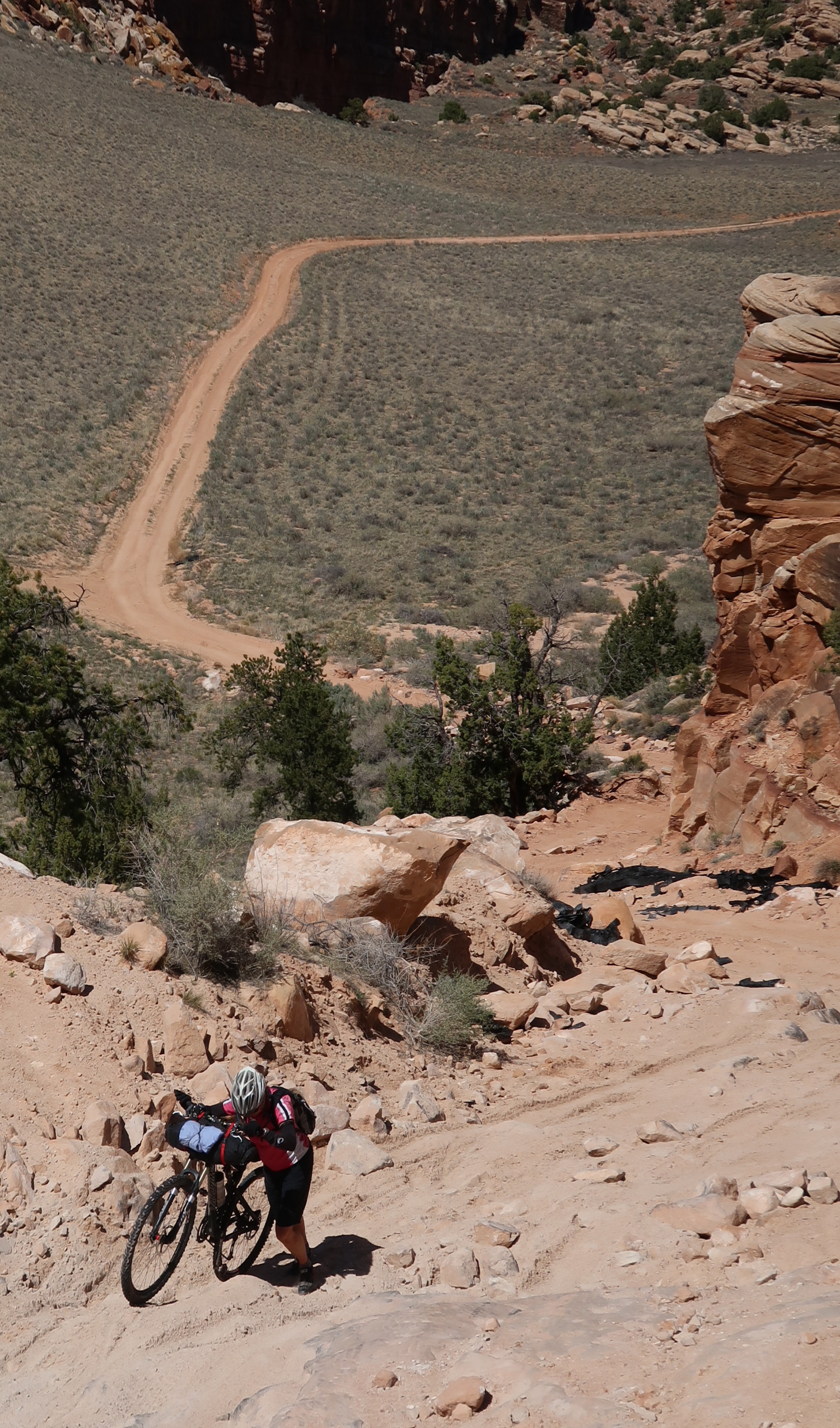
The unnamed section of trail that we suggest you avoid. It was a “shortcut” that took us a lot of extra time.
The unnamed section of trail that we suggest you avoid. It was a “shortcut” that took us a lot of extra time.
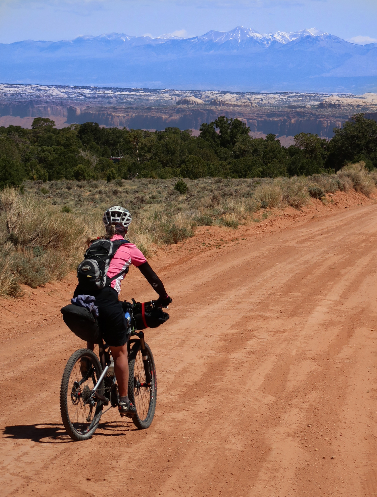
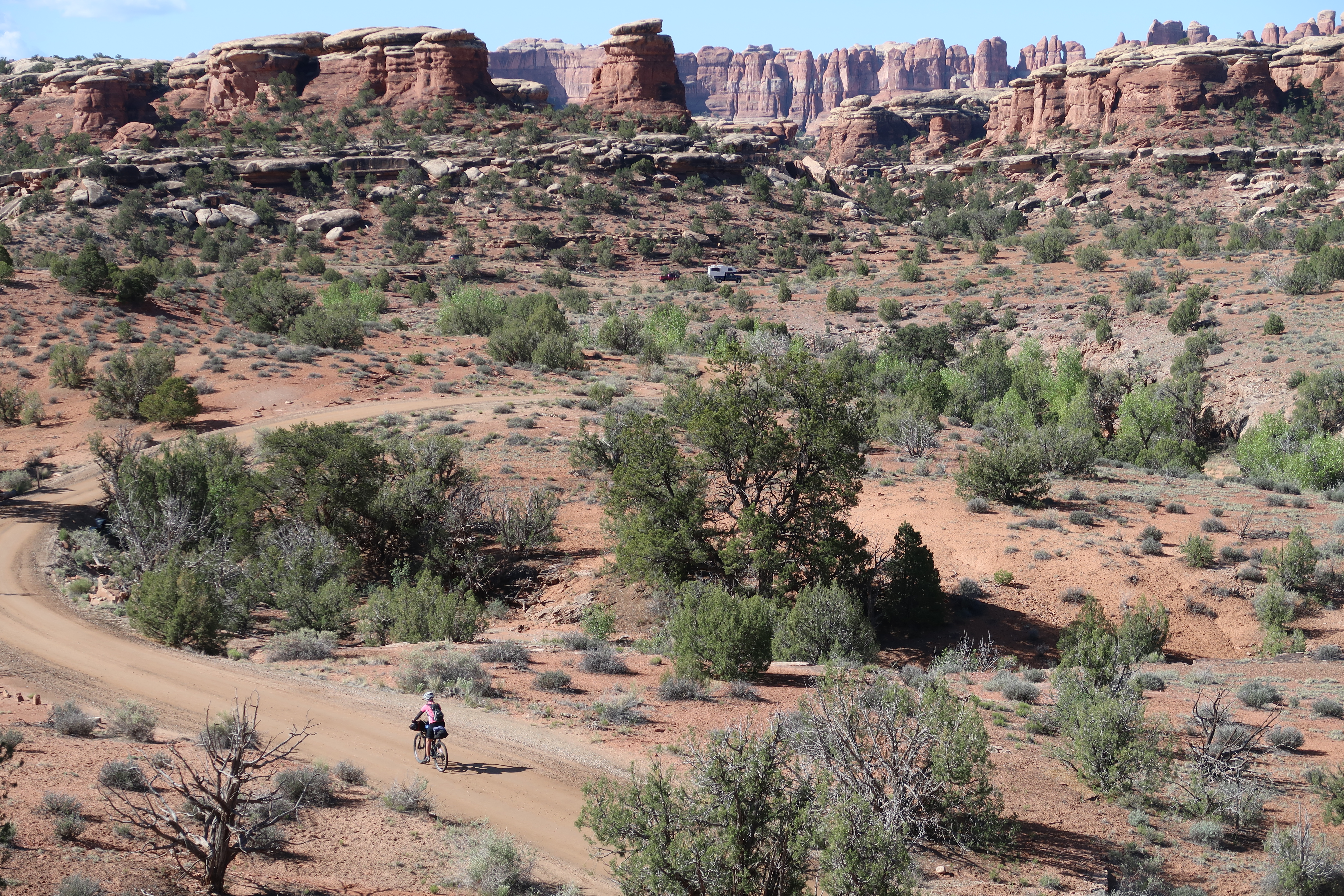
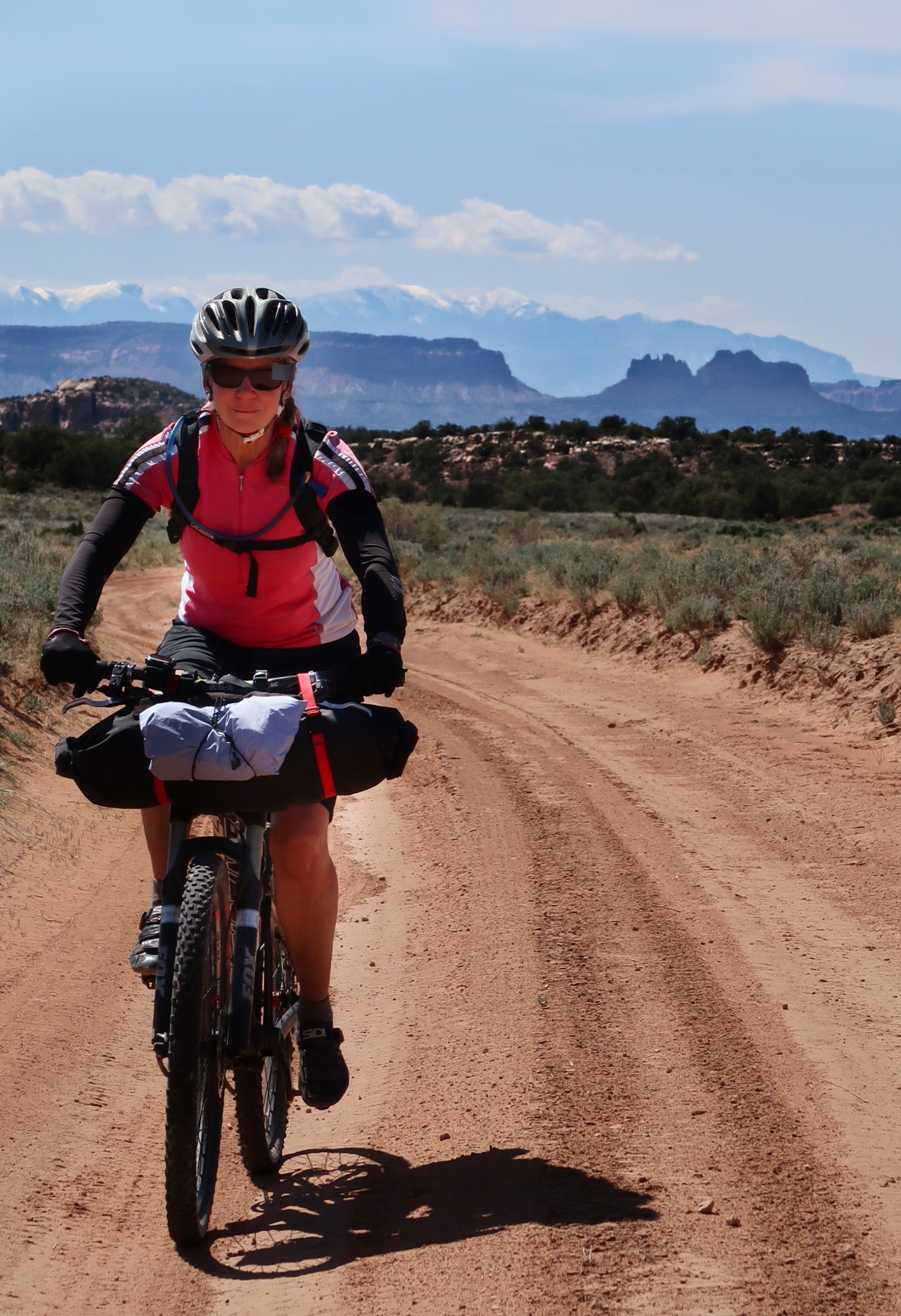
On Beef Basin Road – heading towards the La Sal Mountains.
This is the map for the entire route discussed in this post. To Export GPX files, click on the three horizontal bars in the upper right hand corner of the map and select Export selected map data…
To see full screen, click here (opens in new window)


Thanks for your write up. I’m planning to do this a version of this route next week, April 12th. Is there a way to check that Stanley Spring is flowing? Also, I was considering riding the road along the west side of Bridger Jack Mesa instead of the main road on the east side. Do you have any experience with that?
Thanks again.
Leo – That’s great to hear you will do the route. Probably the best way to find out about the spring is to call the Canyonlands Needles District Phone: (435) 259-4711. Occasionally, a ranger has been out on the roads and might know if the spring is flowing. For what it is worth, when we were there, this was a well maintained cow trough, and it appeared that there was motivation to keep it flowing. This is not inside the National Park, and there are several other possible springs in the vicinity (Including “Beef Basin Spring”).
I do not have experience with the road on the West Side of Bridger Jack Mesa, but my wife and I just looked at it on the map, and that seems like a viable way to travel. I hope that if you do it, you link a quick trip report here for others to consider. My wife also asked me to remind you to NOT take the “FS-16” trail that we did, and instead stay on Beef Basin Road!
Thanks for the quick reply! I will give that phone # a try. I’ve got a message in with the Monticello BLM field office, so will see if they call me back. Moab field office said snow levels are around 7000-7500 ft. That Beef Basin road gets up to 8000 ft on the north side of Horse Mountain, so also wondering if it’s passable (probably) and hopefully there could be water from snow melt next week.
I’m super glad that you guys wrote about that FS-16 because I had been staring at that from all angles on Google Maps and studying the grades. That’s some punishment I don’t need. Surprisingly, there is Google Street View for the entire 4wd road on the west side of Bridger Jack. The views look amazing. The road looks rough, technical, and at times crumbling into the canyon, but passable.
I will update on my return!
Thanks again.
Leo
Hi Brian, just a quick email to let you know that we weren’t able to do the ride. The Elephant Hill road was closed for repairs Monday through Thursday of our trip. This is a once in a decade event apparently. We were going to try for a Thursday/Friday ride, but it rained hard for three hours in Moab on Thursday with snow above 6000 ft so we aborted. Alas, it will have to wait for another year.