Bikepacking Peru – Jaen to Huamachuco via Kuelap
Jaen to Kuelap
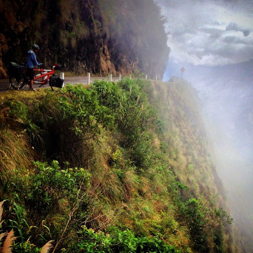
This section of Peru includes some very enjoyable cycling – it is almost entirely paved, and well graded. For us, it was the easiest riding of our 5,000 mile journey from Bogota to Cusco. Moreover, this section is one of the richest in ruin sites – locations that are far lesser known than those in central Peru, but equally important.
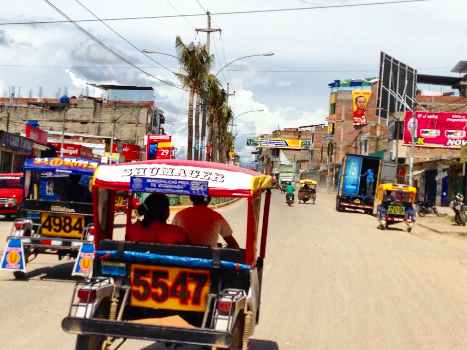
In Northern Peru (especially), expect to see these small vehicles dominating the road.
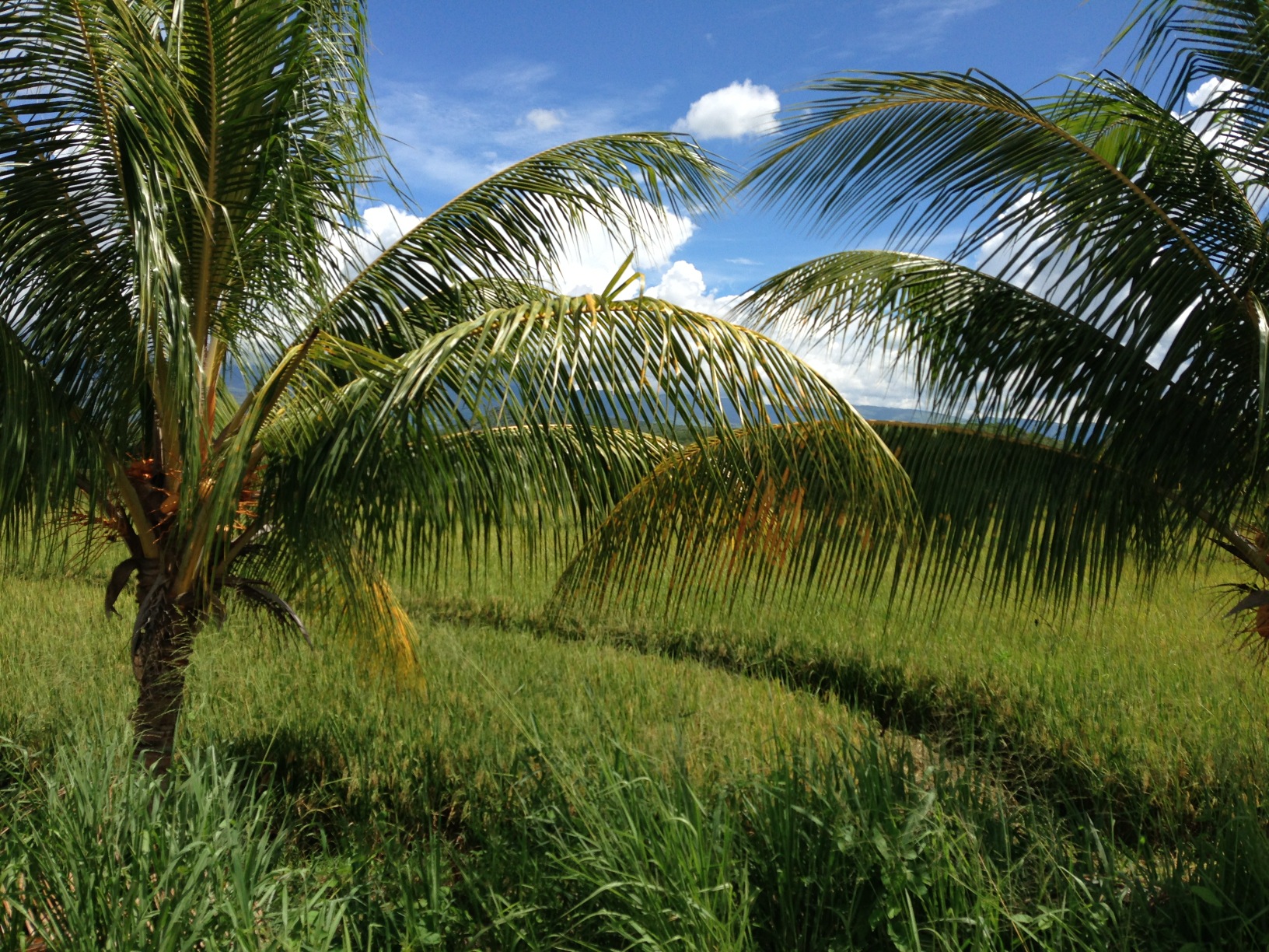
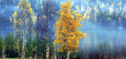
The route from Jaen to Chachapoyas is decidedly balmy.
This section of Peru won my heart over with the very low traffic (outside of the cities), easy riding, and abundance of things to do.
Located at 05.88586° S 78.16346° W (between Bague Grande and Pedro Ruiz), you will find a dirt road to the left. This will save you over 1,000′ of climbing if you don’t mind riding off road.
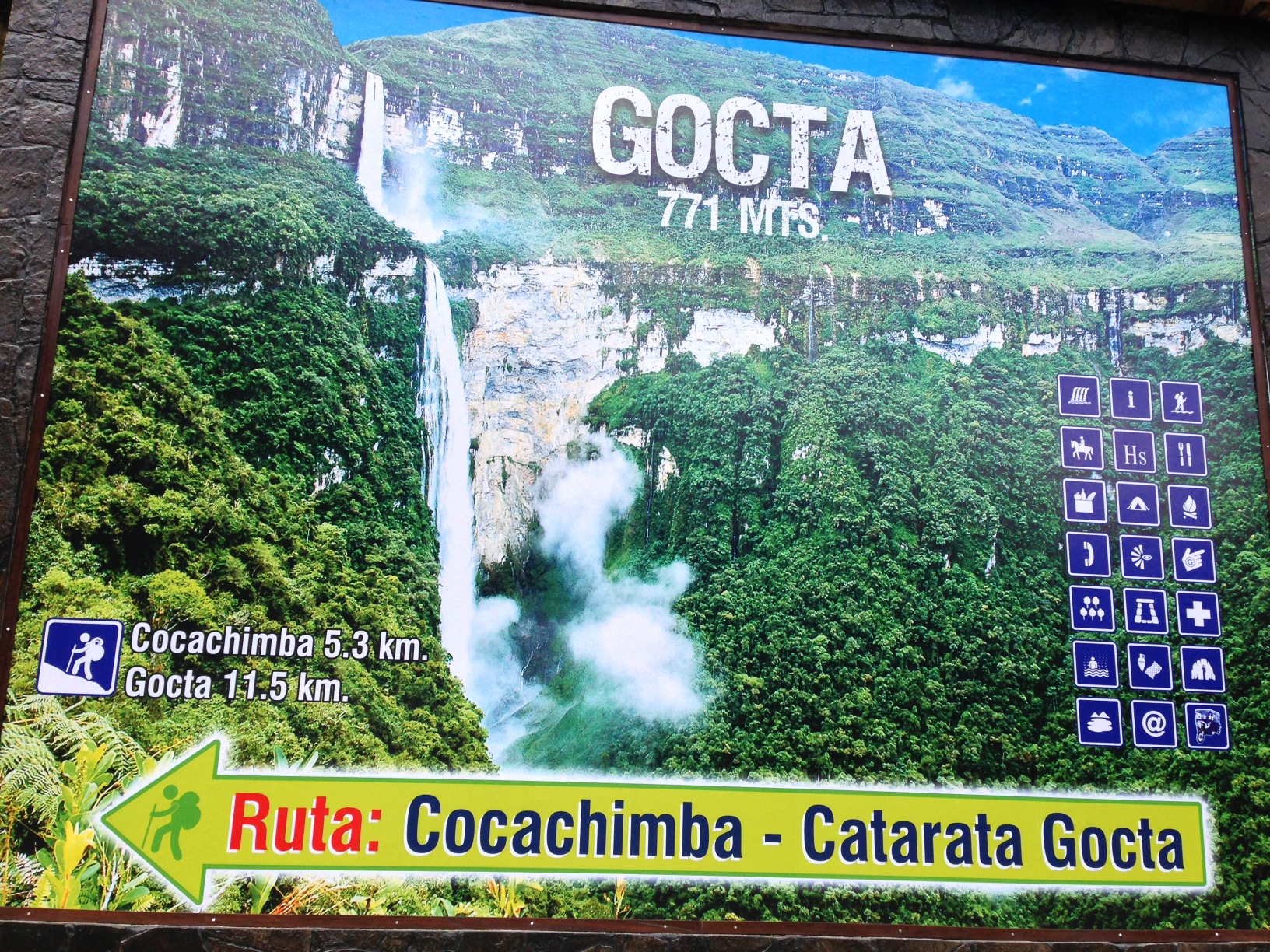
The turnoff to Gocta Falls located at 06.05815° S 77.91813° W. We did not go here, but our friends Scott and Sue did. There is one accommodation and restaurant in San Pablo. Gocta falls are a hike from the town. They are the third highest falls in the world (two drops).
I wish that we had gone to visit the 771 meter Gocta falls – we had pondered it for a moment. Like you’ll see later in this post, Peruvians cling to their tallest/highest/biggest/deepest designation for various sites. In 2006, Gocta falls were ranked as the 3rd highest in the world, but they are now listed as being the fifth highest. The World Waterfall Database ranks Gocta as the 16th tallest – but in spite of this, the locals will still tell you it’s the 3rd highest.
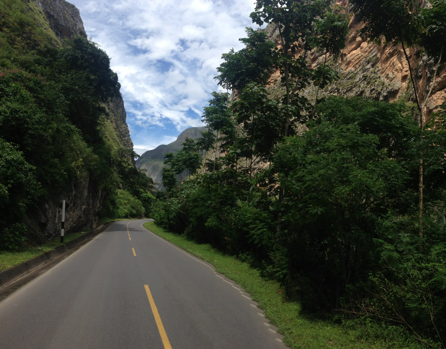
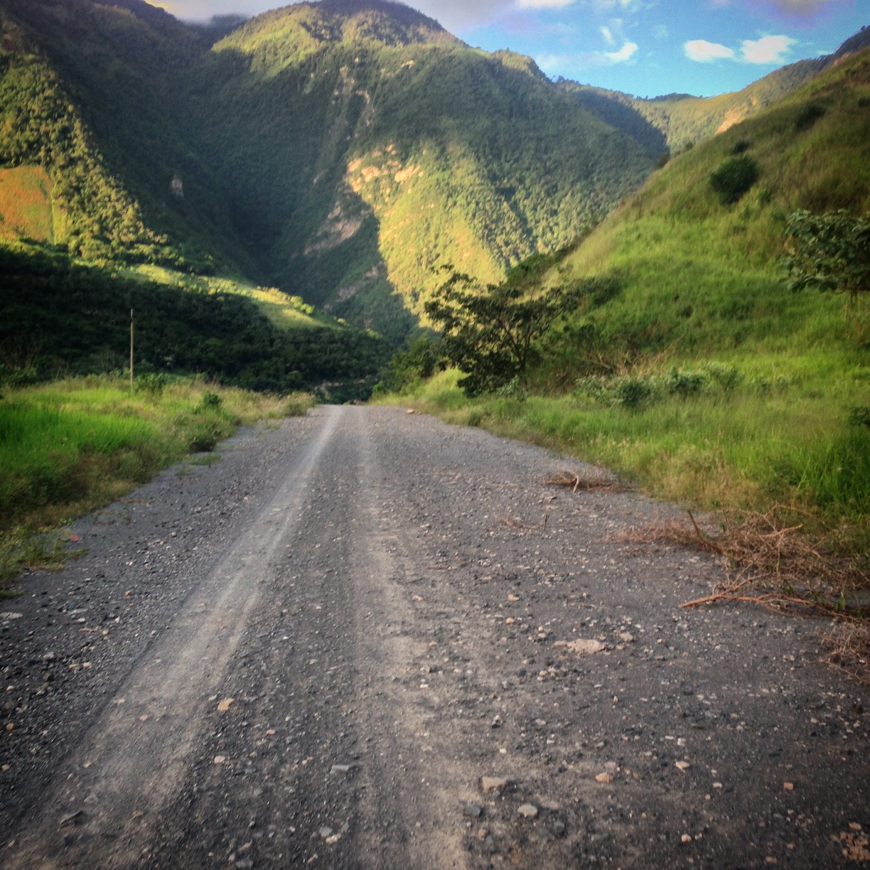
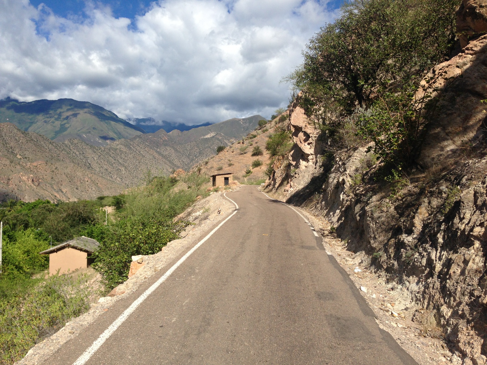
The pavement is wonderful along this route. In fact, our route is paved from the Ecuador/Peru border all the way to Huamachuco.
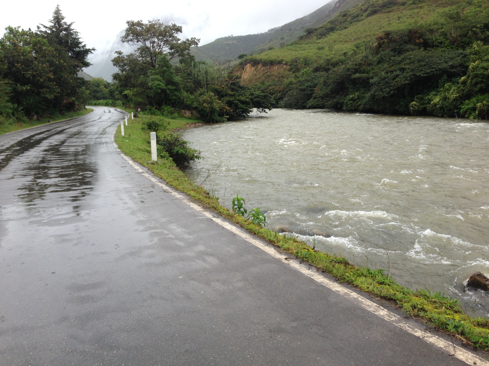
Beautiful pavement near Nuevo Tingo.

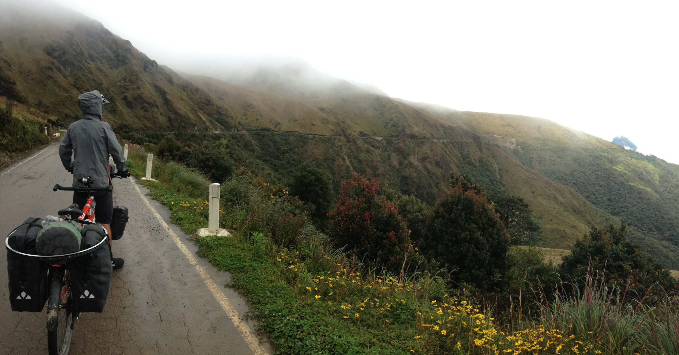
The road between Pedro Ruiz and Nuevo Tingo is nicely paved, and very scenic! Similarly, the scenery was in deep canyons on the section from Bague Grande to Pedro Ruiz (but we do not have pictures because we rode most of it in the dark!
Kuelap and Leymebamba
The ruins at Kuelap are remote, but if you’re traveling through the area, they are definitely worth a visit. This walled city is believed to have been built around 500AD by the Chachapoyas. Many years later – around the second half of the 15th century – the Inca arrived, and there is some evidence of the Inca culture mixing with the Chachapoya. This location is significant because it gives us a look at pre-Incan culture (unlike Machu Picchu and Cusco sites which are all Incan).
There are 2 ways to get to Kuelap as of this writing, and by the year 2017 there will be two (better) ways to reach the ruin. Now, you can take the dirt road that start in Nuevo Tingo up towards Choctomal, Longuita, and then eventually to Kuelap. This is the route that the colectivos now drive. It takes an hour and a half in vehicle from Nuevo Tingo (and longer from Chachapoyas). An alternative is to hike from the trailhead that starts in Tingo (presumably as in “old Tingo”). The trailhead is here: 06.38034° S 77.90603° W The elevation gain is over 4,000′ – so keep that in mind.
In the future, you will be able to take a teleferico from Nuevo Tingo to Kuelap. This should be the fastest and easiest route. In the unsigned hotel in which we stayed, all the rooms were taken by the construction crews building the teleferico. They are also in the process of building a paved road up to the ruin. This should also make the trip quite a bit less painful. In the future, you should expect to hear about Kuelap alongside ruins such as Machu Picchu. Nevertheless, it is still a very long way from Cusco – a month and a half by bicycle.
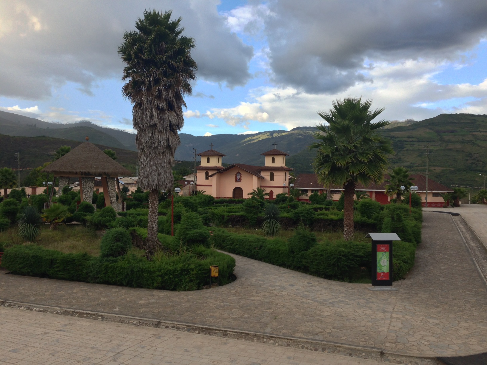
This is the town of Nuevo Tingo. We thought that we’d be better off visiting the Kuelap Ruins from this village, but after having done this, we now believe that Chachapoyas may be a better launching spot. For one, Chachapoyas has an ATM, whereas Nuevo Tingo does not. Furthermore, there is only one (unlabeled) hotel in this village. It is definitely closer to the ruins, so if you plan to ride your bike to the ruins, it would be a better spot. If you plan to take a collectivo in conjunction with a tour, Chachapoyas will be a better spot.
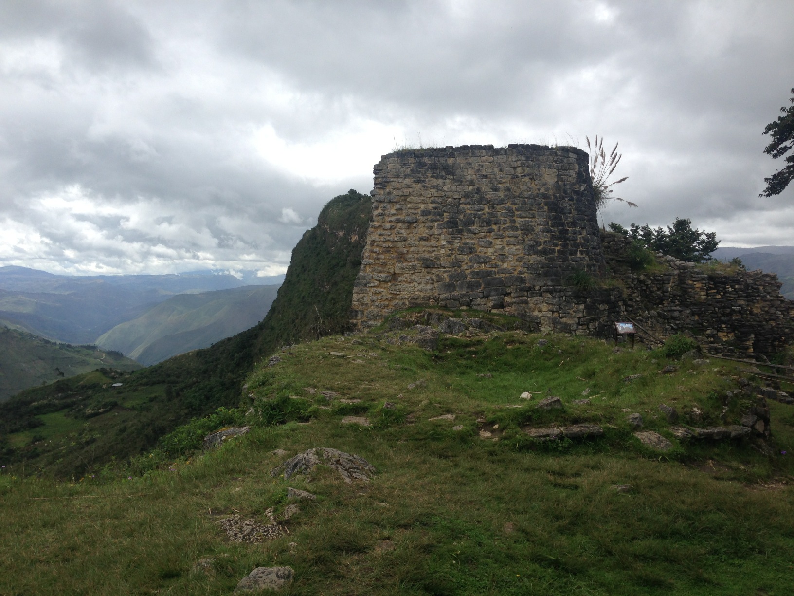
Torreon, part of the Kuelap Ruins
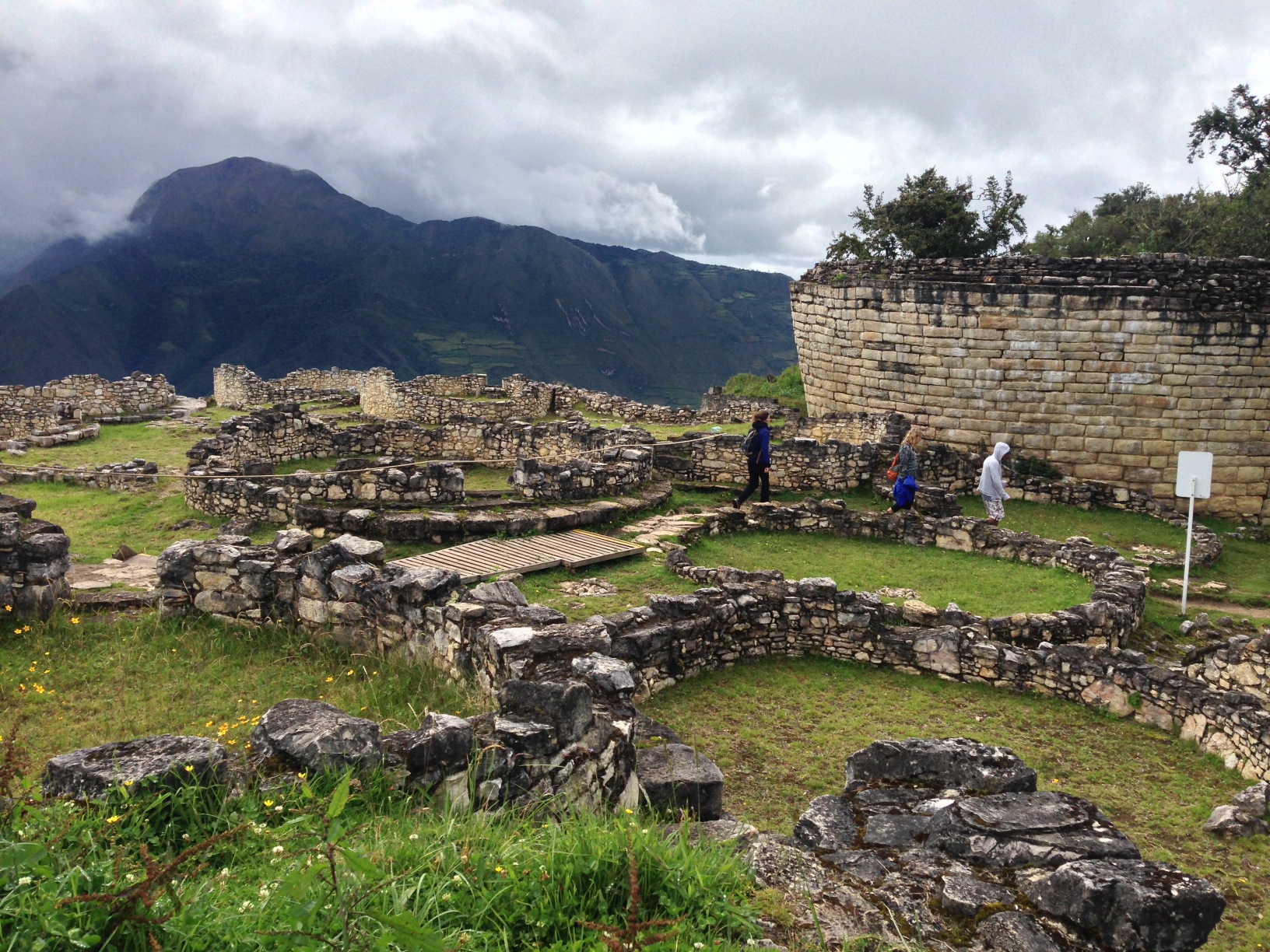
Another view of Keulap
Archaeologists have come up with all sorts of possible explanations for the patterns in these stones. They say it may represent a serpent, but really they don’t know. I think it is a little funny because we have patterns in our modern lives – but they don’t usually represent anything.
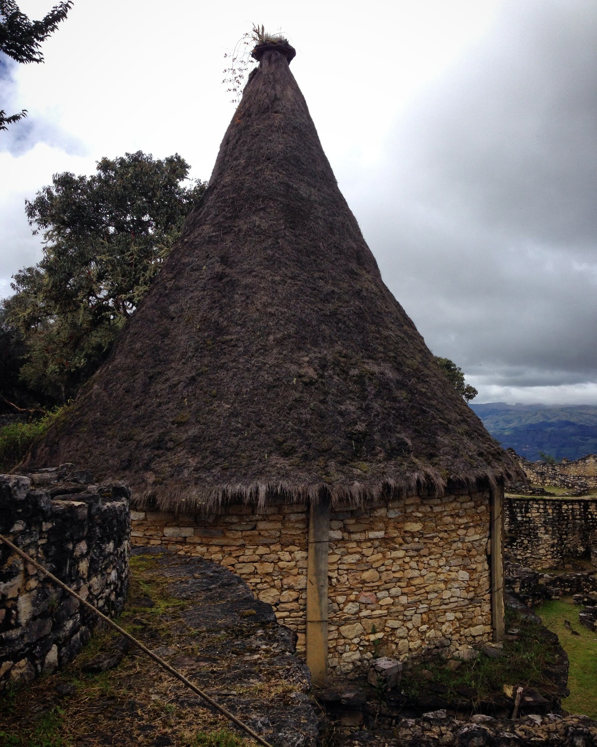
One of the most famous buildings in Kuelap. The round buildings were characteristic of the Chachapoya. This one has had its roof restored.
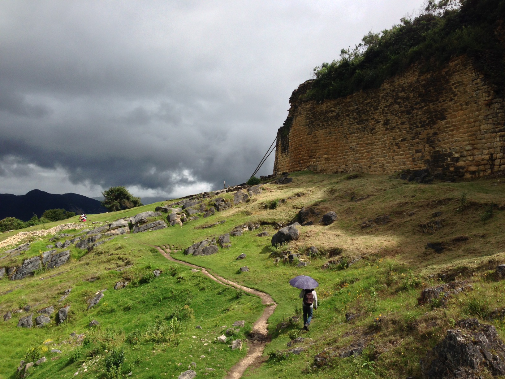
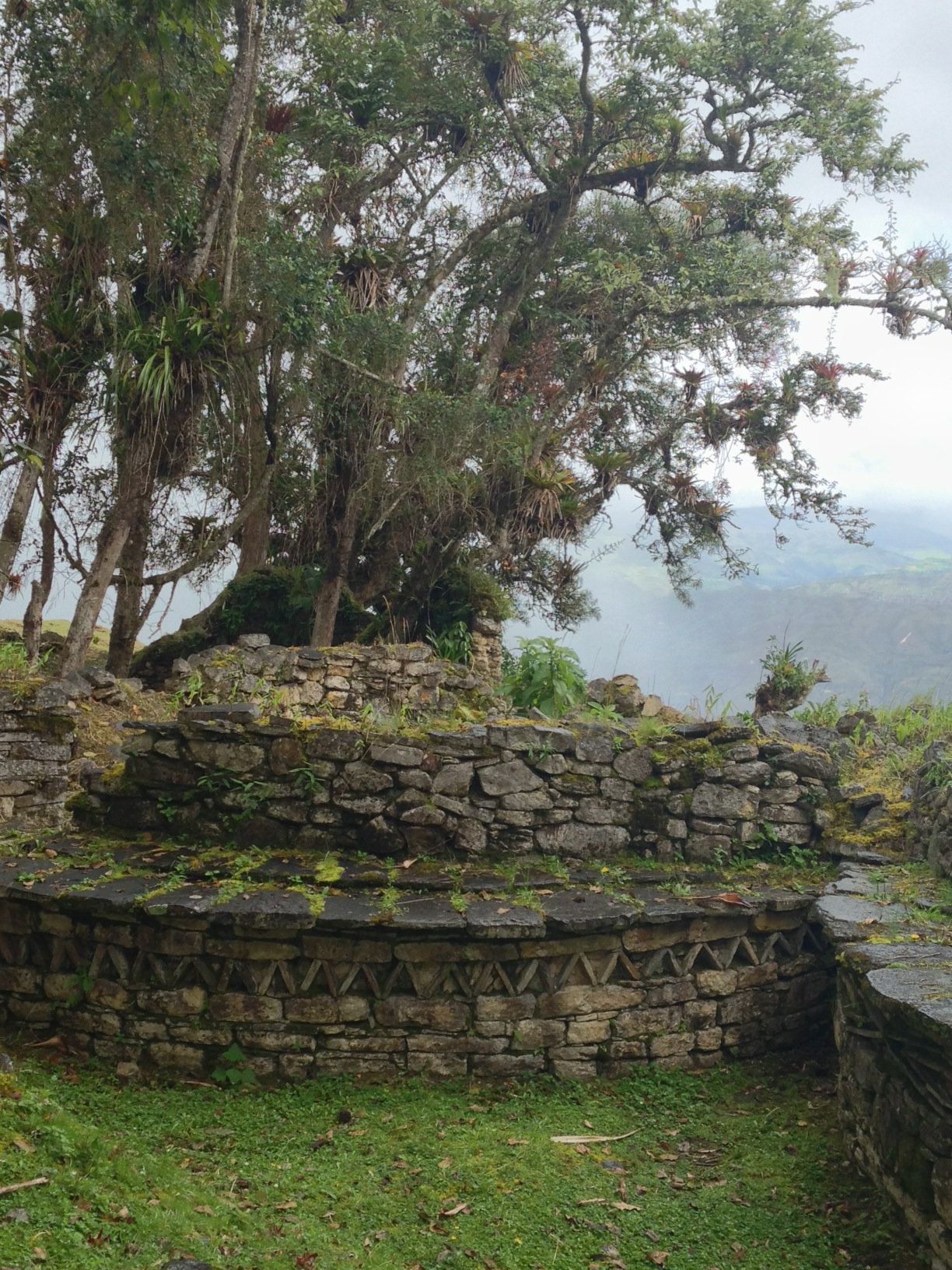
A great wall surrounds the ruins at Kuelap.

As you can see, the ruins at Kuelap were well fortified.
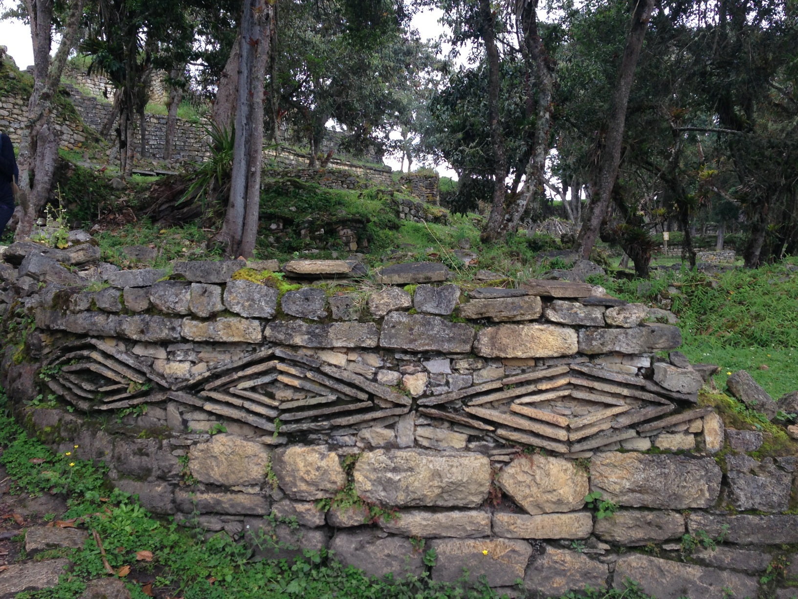
Our guide at Kuelap claimed that these patterns represent Jaguar eyes. Really, though, they don’t know.
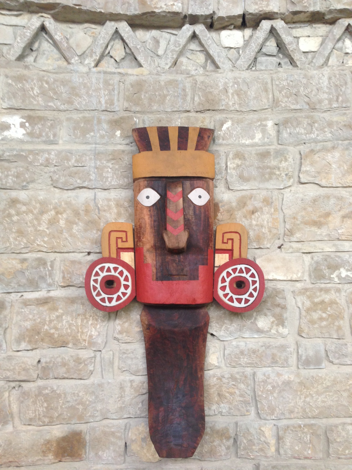
There are several other sites to see along this route, including the Sarcophagi near Karajia, Leymebamba museum, Gran Vilaya, and the Gocta Falls. Plan to make time to explore these nearby areas from Chachapoyas as a launching point.
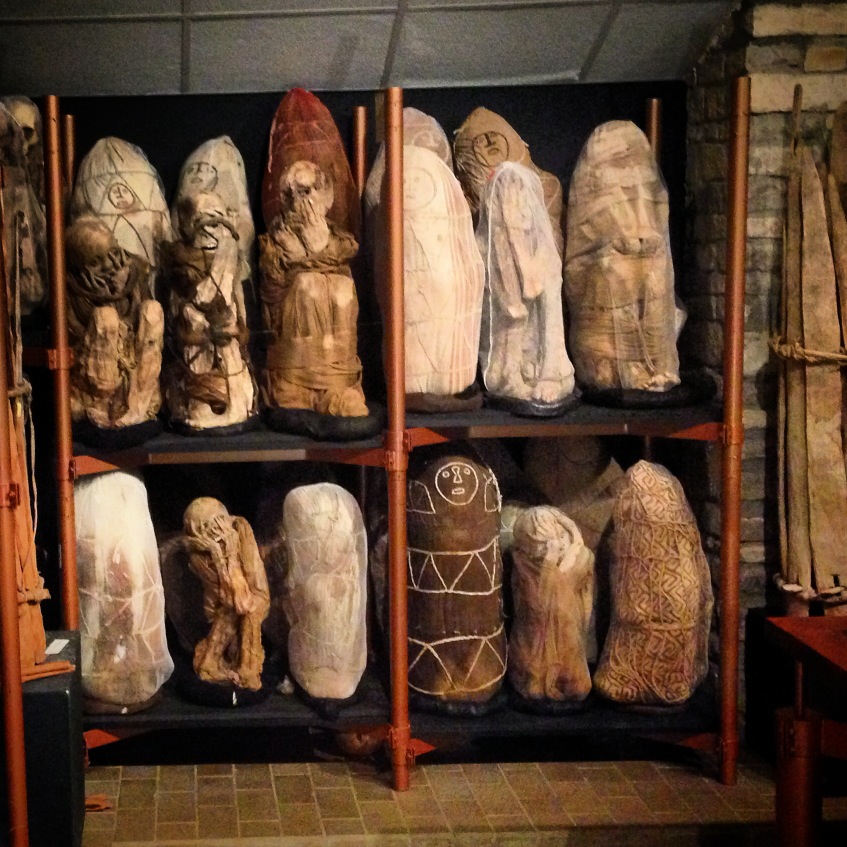
This is a picture of the mummies in the mummy museum of Leymebamba. I first heard about these mummies in the “Lost Kingdoms of South America” video below.
We happened to watch the video below prior to our trip. Although I had forgotten about the details, I immediately recognized the mummies discussed in the video when I saw them in the Leymebamba museum. Entry is 15 soles (about $5US). We were very tight on money at this point, as we found that there is not an ATM in Nuevo Tingo OR Leymebamba. The money we spent on this museum meant cutting into our remaining food budget to Celendin (the next ATM, 2 days away). Visiting this museum (the mummies in particular) was worth taking that risk!
The entrance to the museum at Leymebamba.
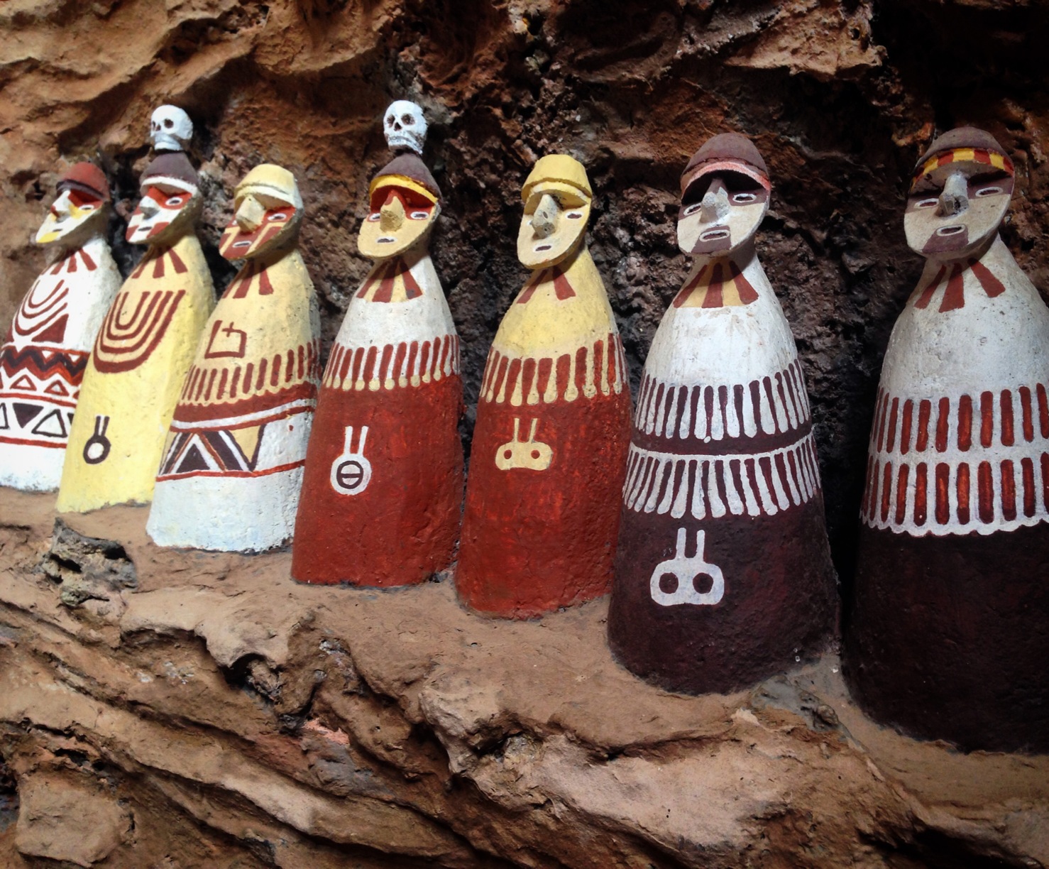
Some of what you will see in the museum at Leymebamba.
Leymebamba to Celendin
The ride out of Leymebamba is a long, but steadily paved climb.
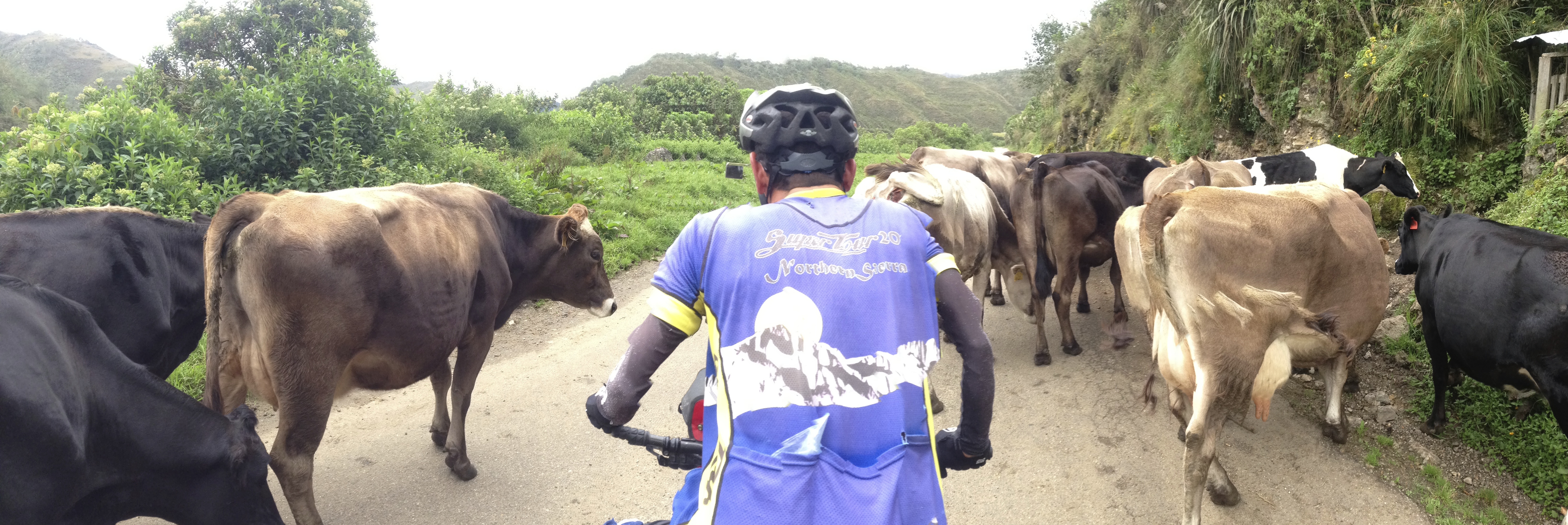
Move over, Cows!
Janet on the West side of the Pass between Leymebamba and Balsas. Excellent pavement here, and easy grades. Nevertheless, it’s a significant climb up from Leymebamba.
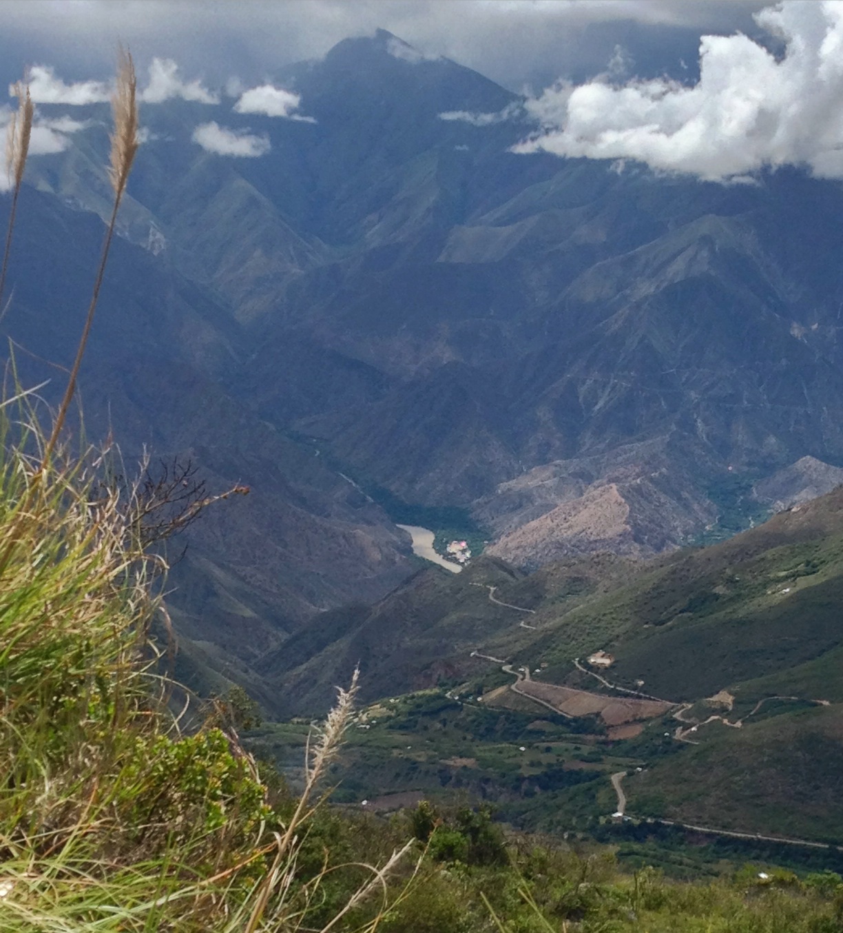
There are many methods for measuring the depth of a canyon. There also is a lot of discussion amongst Peruvians about the deepest canyon in the world. Going from Leymebamba, you will descend 9,000′ from nearly 12,000′ to 2,800′. That’s 3,000′ deeper than the Grand Canyon!
As you make the descent, you will surely stop often to take pictures and strip away clothing.
Descending to Balsas – you’re going to have a complete climate change on the 9,000′ descent. From cold wet mist to hot dry desert.
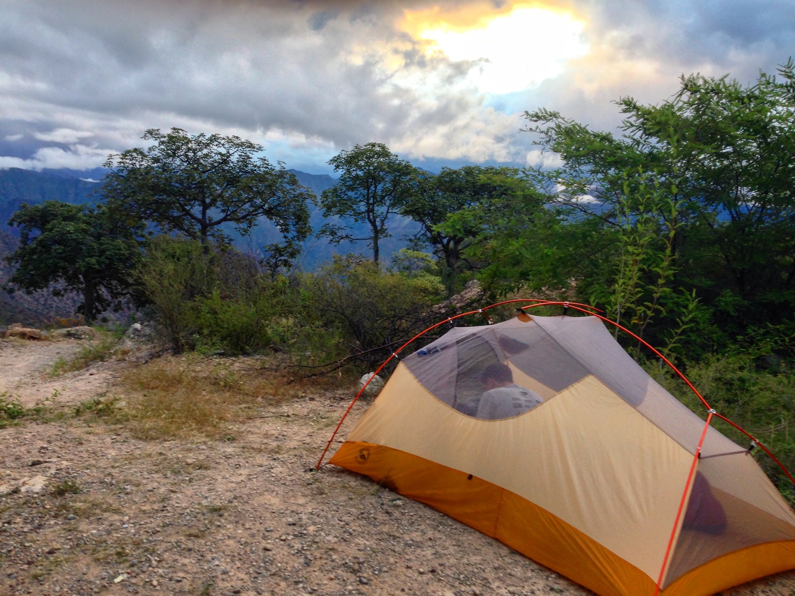
Our campsite above Balsas (between Leymebamba and Celendin). 06.84998° S 78.05258° W In order to camp here, we asked permission, which was kindly granted. There were not too many hidden spots on the climb from Balsas to Celendin, so we were grateful for this location. At an elevation of 5,000′, it is just cool enough for camping.
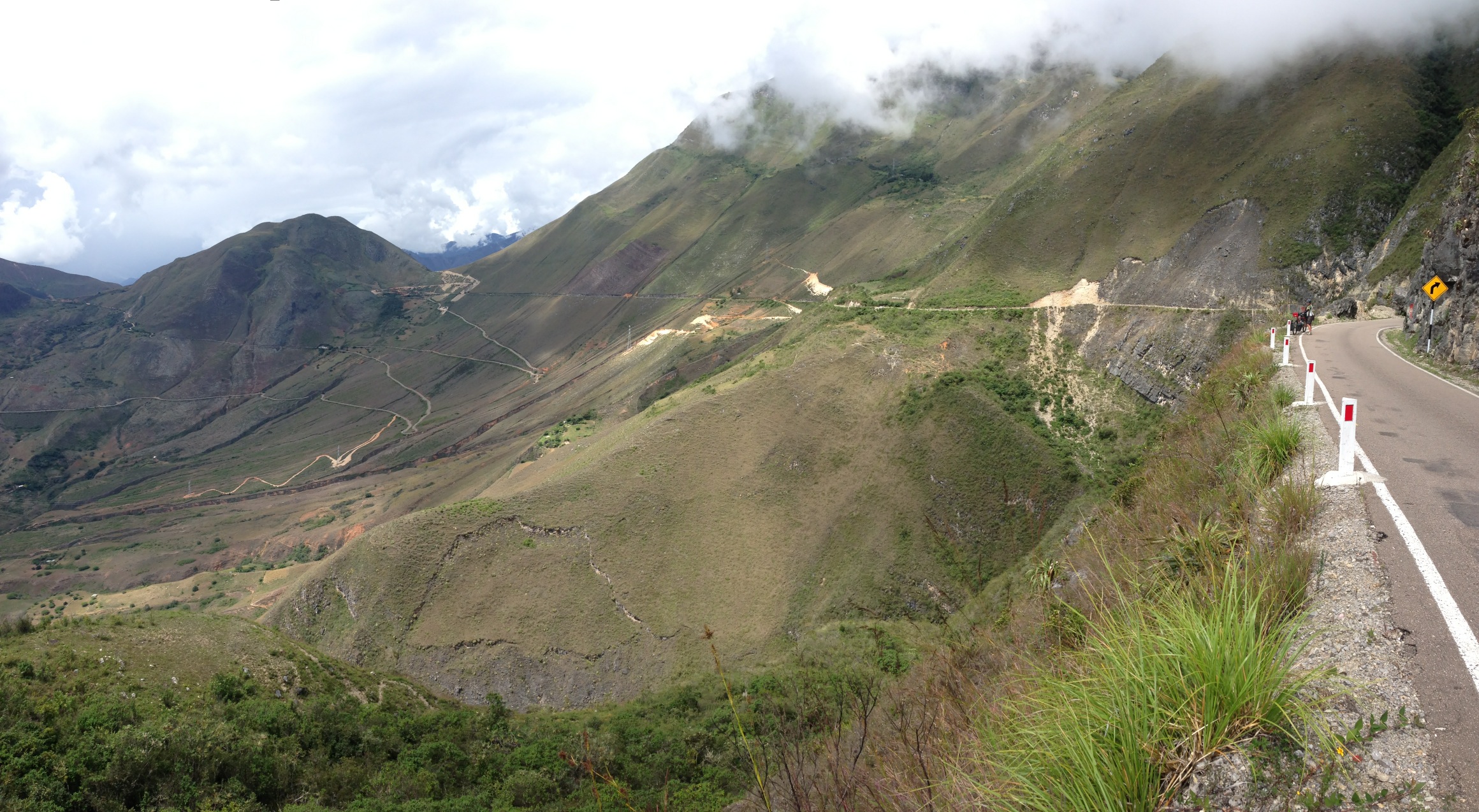
The climb from Balsa to Celendin… It’s a long one!
Rather than collect water from the river near Balsa (and have to carry it up the ascent), we delayed getting water until here: 06.85518° S 78.05007° W. There was also water available here, near our camp: 06.85082° S 78.05282° W. After that, we did not see water alongside the road, though you may be able to ask at one of the houses.
If you’re on a budget and don’t want to hotel it in Celendin, we thought that this would be a good place to camp (06.87591° S 78.11293° W)
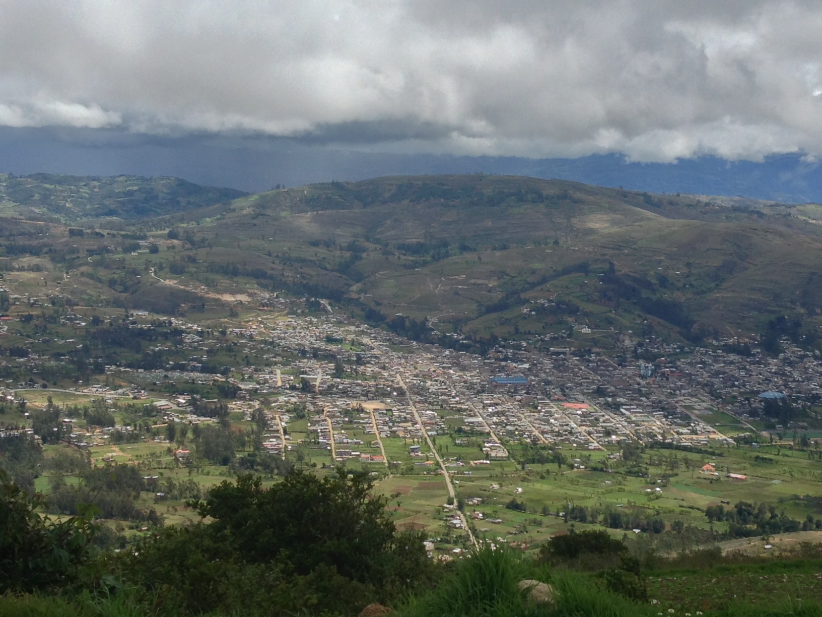
The town of Celendin viewed from above.
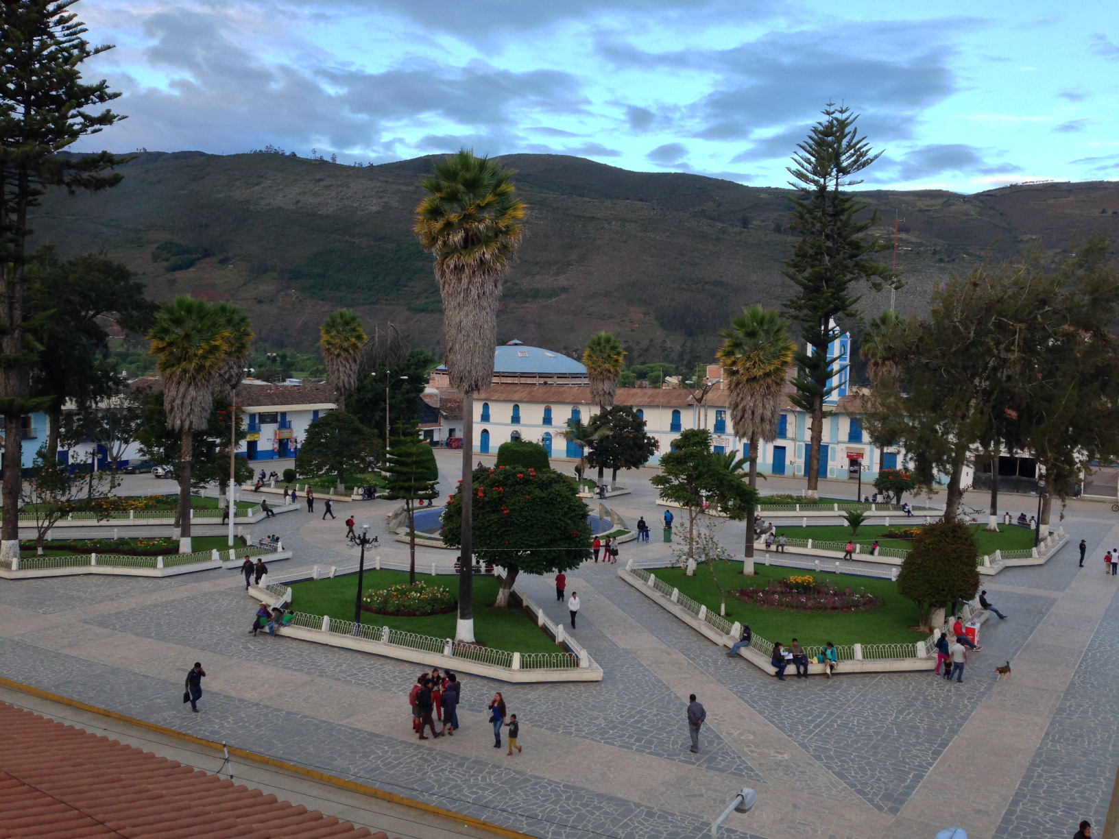
The square at Celendin. We were unable to find a bike shop here, but otherwise, this city has full services, including a couple ATMs (which are increasingly difficult to find along our route).
Celendin To Huamachuco
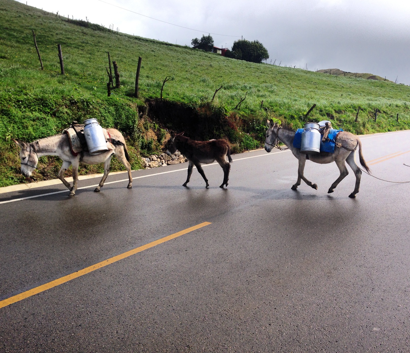
Donkey crossing. We often encounter these self-guided donkeys who are tied together carrying milk. Somehow, they know where to go!
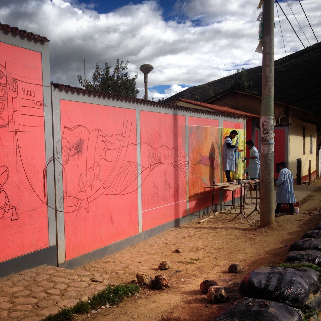
Artistic improvements in the tiny town of Encañada (07.08324° S 78.34213° W) Restaurants and food available. here.
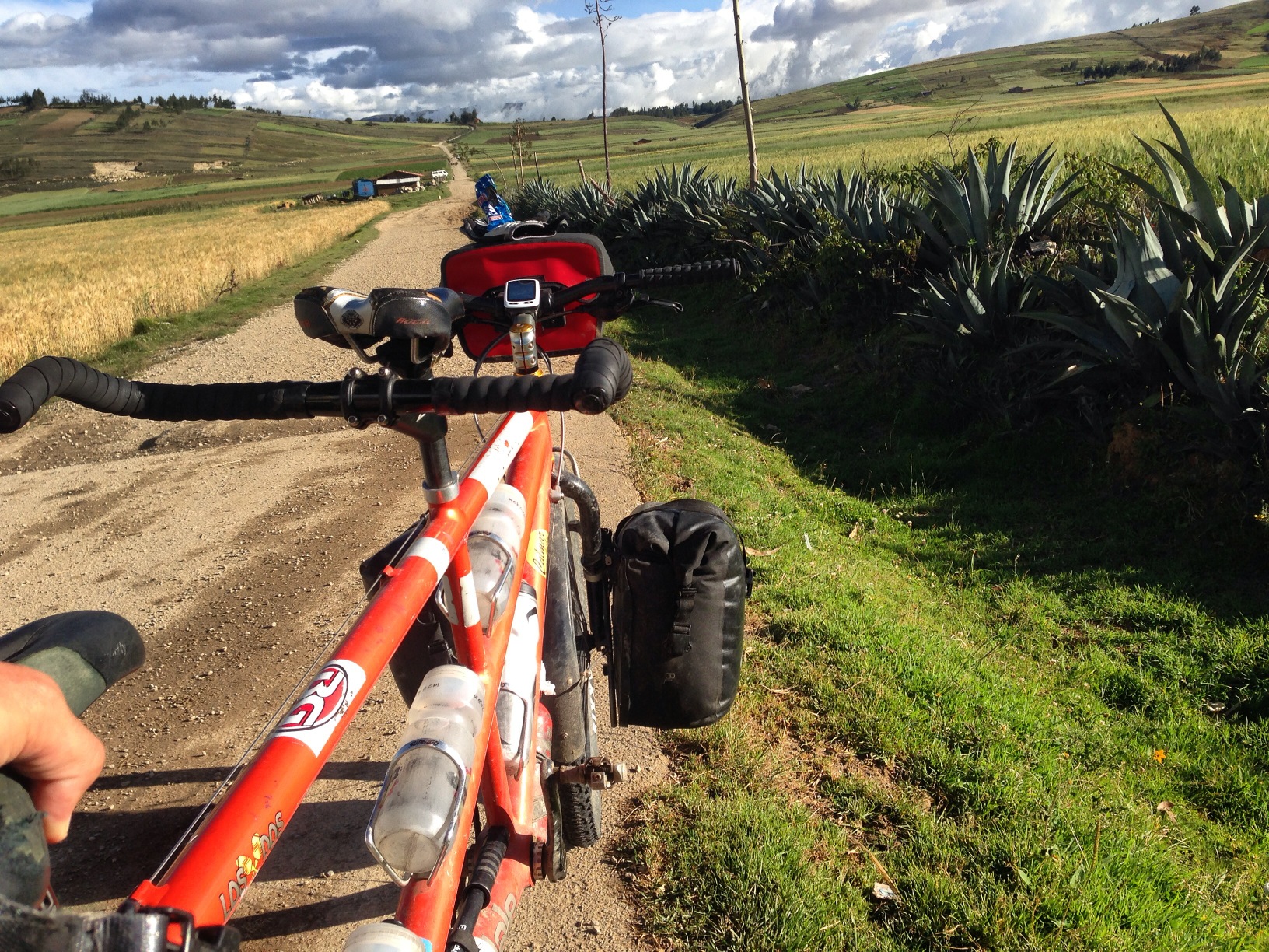
If you don’t need to go to Cajamarca, why not follow our shortcut. It’s unpaved, but fairly easy. Turnoff is located at 07.14110° S 78.36616° W
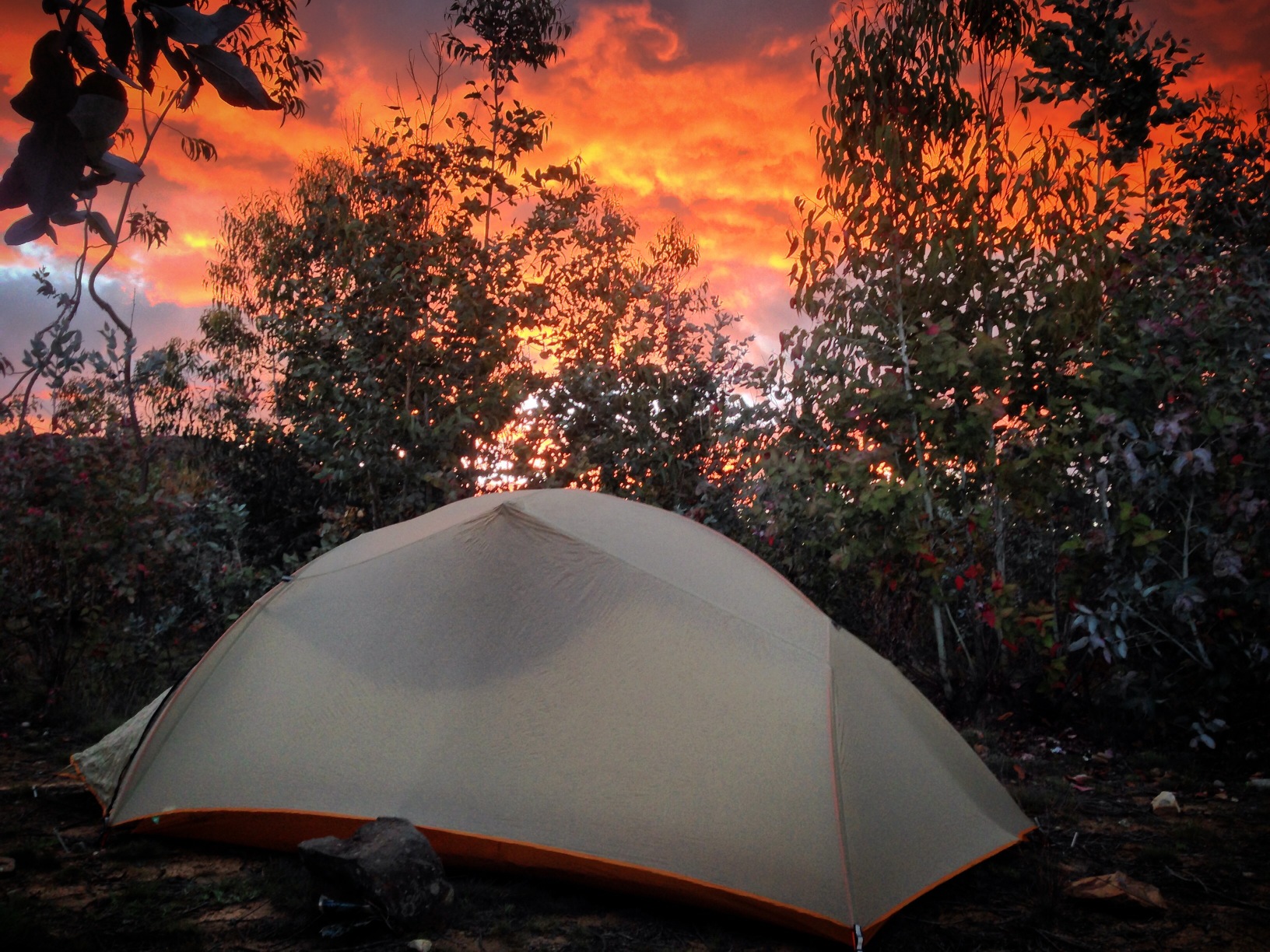
A beautiful sunset near our campsite in a grove of eucalyptus (07.18195° S 78.36732° W) near Namora. We had asked to camp near a school just before this, but were discouraged by the locals.
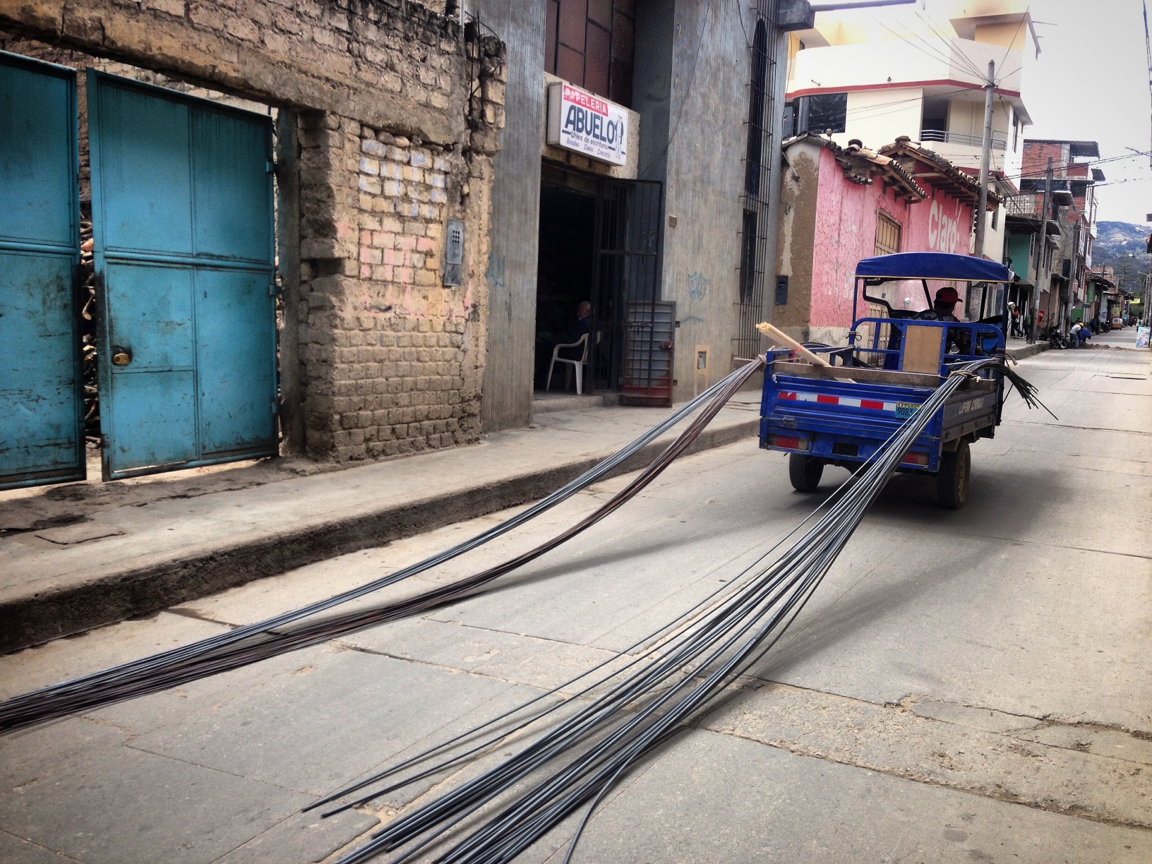
We would frequently hear the screech of metal dragging on pavement coming from behind. What you see here is a surprisingly common practice.
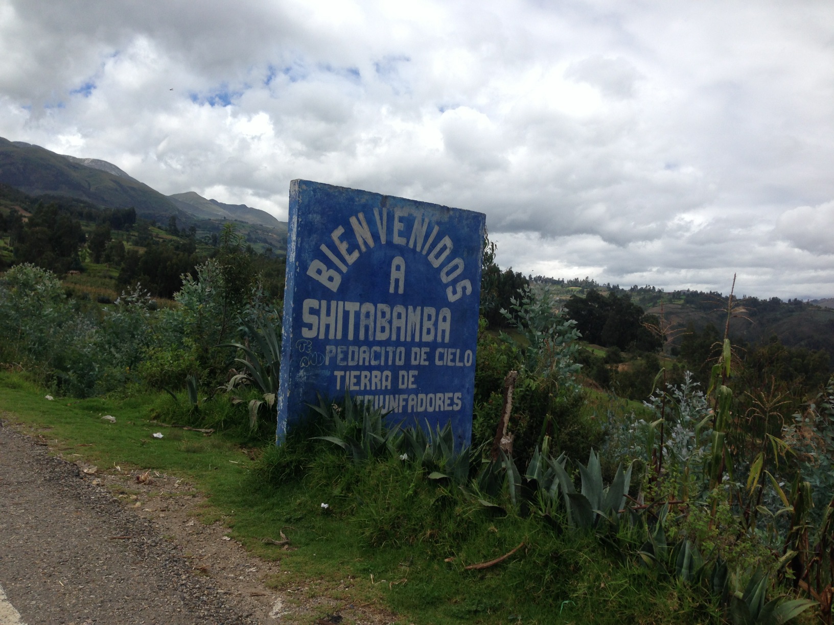
When you see shit on a sign, it is obligatory to take a photo.
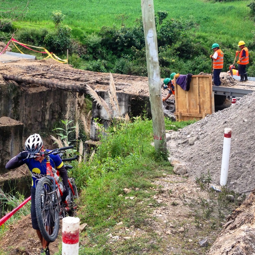
As of this writing, the road between Cajabamba (07.62353° S 78.04589° W) and Laguna Sausacocha (07.79088° S 77.98861° W) is nicely paved – but all of the bridges were out. This required us to carry the tandem through several time consuming gullies.
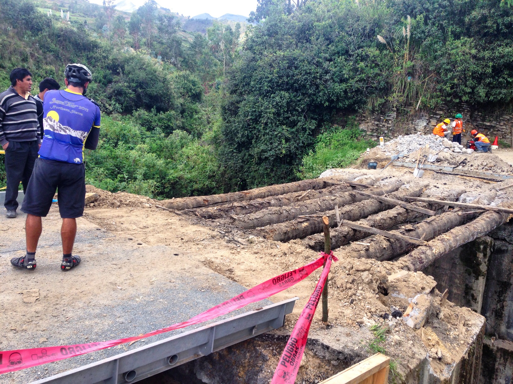
We were significantly delayed by the construction on all of the bridges. In the near future, however, I expect this section to be smooth sailing.
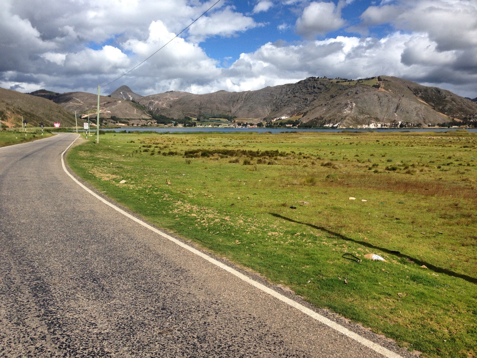
Coming up to Laguna Sausacocha
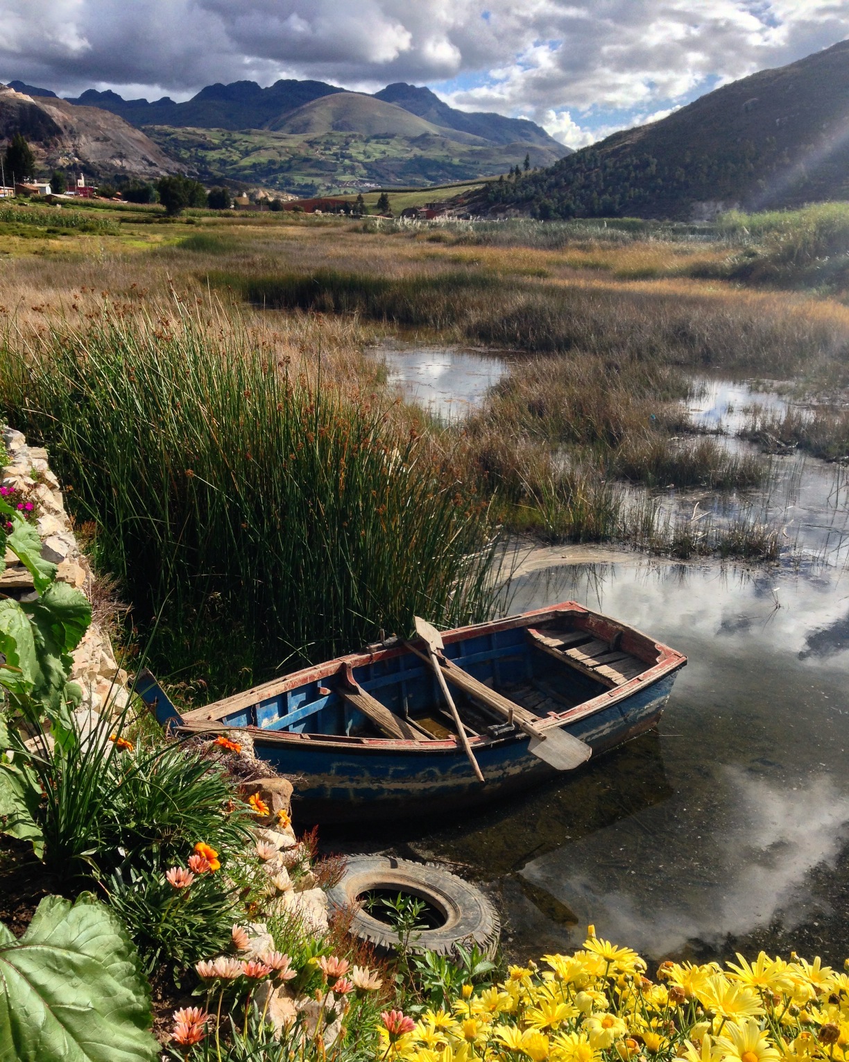
Laguna Sausacocha was a pretty location, and surprisingly more touristic than many of the locations up until this point. There are several restaurants along the South East side.
Huamachuco
By chance, we decided to take some rest time in Huamachuco. We discovered that this is a great launching point for the many activities in the area. There are two significant ruins (Marcahuamachuco (07.78736° S 78.07593° W) and Wiracochapampa (07.78940° S 78.04542° W)), a beautiful lake (Laguna Sausacocha (07.79930° S 77.98171° W)), and the El Eden Hotsprings (07.89318° S 77.94705° W). All of which we found to be worthy of a visit.
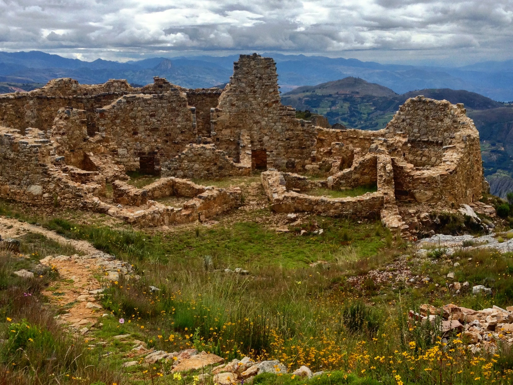
The ruins at Marcohuamachuco. These ruins can be accessed from the town of Huamachuco, and are definitely worth a visit if you are nearby – these are considered to be the most significant ruins of Northern Peru by some archaeologists. The entrance is located here: 07.78735° S 78.07588° W, and admission is free.
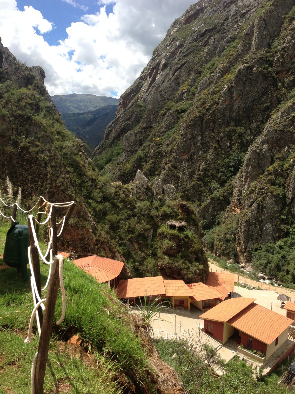
Located at 07.88679° S 77.94278° W not too far past Curgos, are the hot springs “El Eden.” Admission is only $0.33 per person, and the tubs are nicely crafted in an outdoor setting overlooking a beautiful canyon. There is inexpensive overnight accommodation here. We didn’t know that you could stay here, otherwise we would have planned on it. We took a colectivo from Huamachuco for 14 soles (about $3.50 for two people). Getting back is a little more challenging, as the only option is to hitchhike. You could also ride your bike here, but after bumping along the dirt road, we were glad that we took a collectivo.
It is possible to ride your bike from Huamachuco to El Eden hot springs, and then rejoin our route near Cochaconchucos. Nevertheless, we CANNOT RECOMMEND this at this time. Fellow bike-packing bloggers Dan and Gina were robbed near the Pelegatos reservoir – so in spite of the beauty, they don’t recommend it either. Another option would be to ride to Sarin, then Munmalca, and then turn right on LI 115 to eventually rejoin our route on AN-101. All of this is unpaved. Approximate location of robbery according to Dan: 08.07806° S 77.85333° W
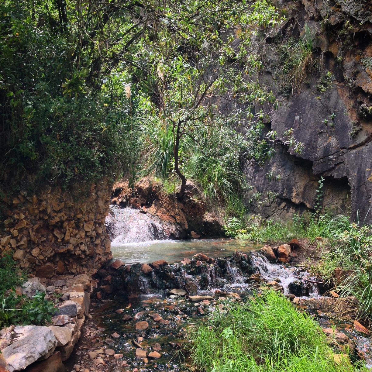
The hot springs at El Eden. We did not ride here, but we were informed that you could continue riding from El Eden via Sarin > Munmalca – and come out on LI 115 (where upon you could rejoin our route). I’m not sure what to recommend because some of the scenery on our route from Huamachuco was wonderful – and you’d miss that.
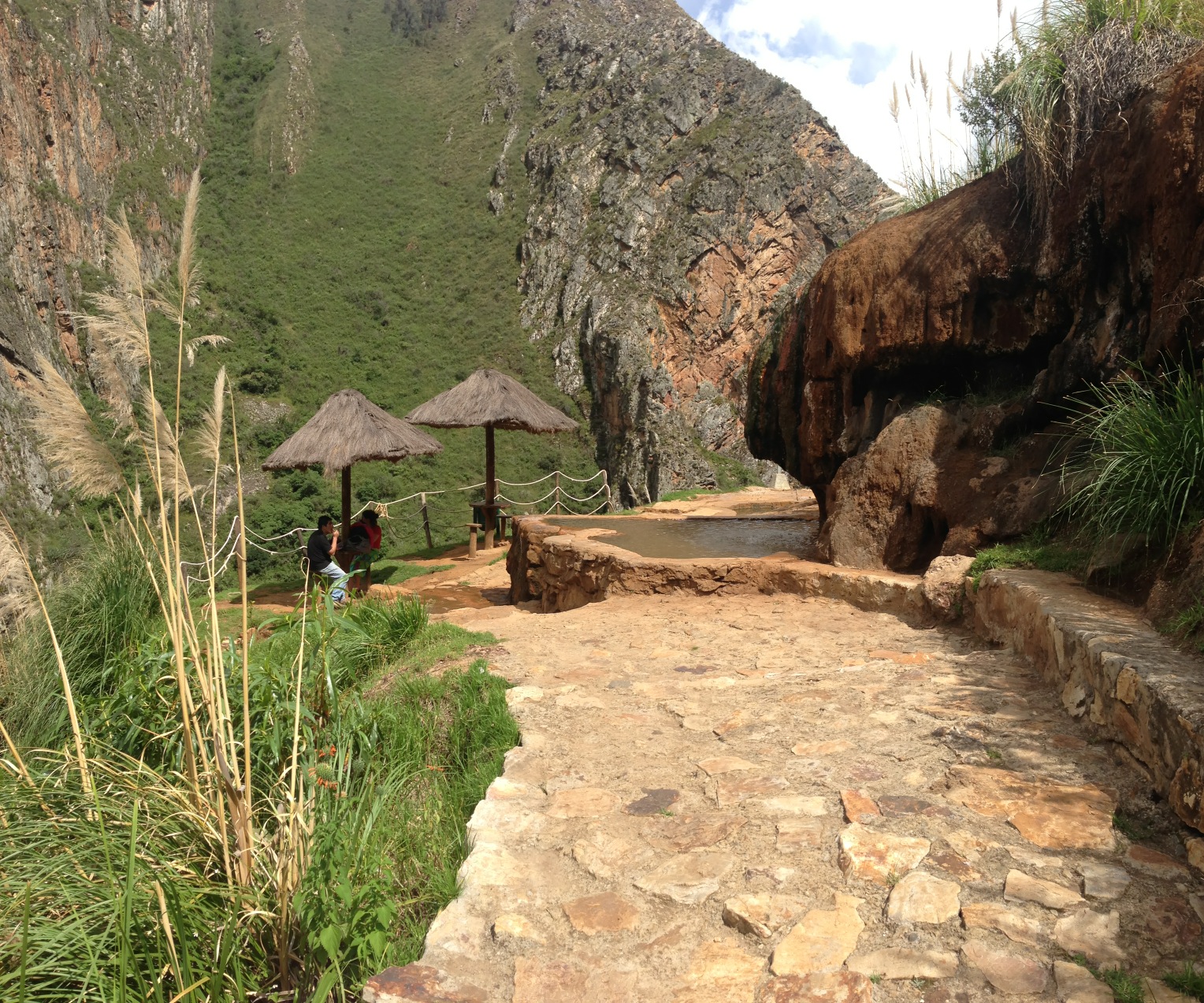
El Eden hot springs.
This is the map for the entire route discussed in this post. To Export GPX files, click on the three horizontal bars in the upper right hand corner of the map and select Export selected map data…
To see this map in a full screen, click here (opens in new window)