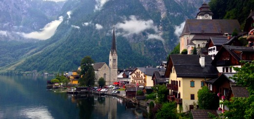
Western Europe By Bicycle
This blog is presented more for archival purposes than as a guide. In fact, the routes we took were poorly researched, and as such, many of them were sub-par for bicycle touring. I’ve learned a lot about route selection since this trip, and more recent tours have been superior for many reasons. It helps to research the attractions and places you want to visit ahead of time. That is easier to do now-a-days than it was in 2001 – but even in 2001, it would have been possible with guide books. Another big improvement since 2001 has been our utilization of GPS navigation (and GPS maps). We were slowed significantly by having to pull out the map at every intersection. The Edge Touring Cycle Computer has been indispensable in planning and navigating cycle routes. It is an amazing device; worthy of long distance bike touring. Because it was such a long trip, this post is fairly lengthy. Highlights were: riding the Slieve Bloom Mountains in Ireland, The Western Coast of Ireland, Everywhere we went in Norway, and everywhere we went in the French Alps
This is the map for the entire route discussed in this post. To Export GPX files, click on the three horizontal bars in the upper right hand corner of the map and select Export selected map data…
To see full screen, click here (opens in new window)
Day1 09/15/2001 Hounslow United Kingdom GPS Track and Map
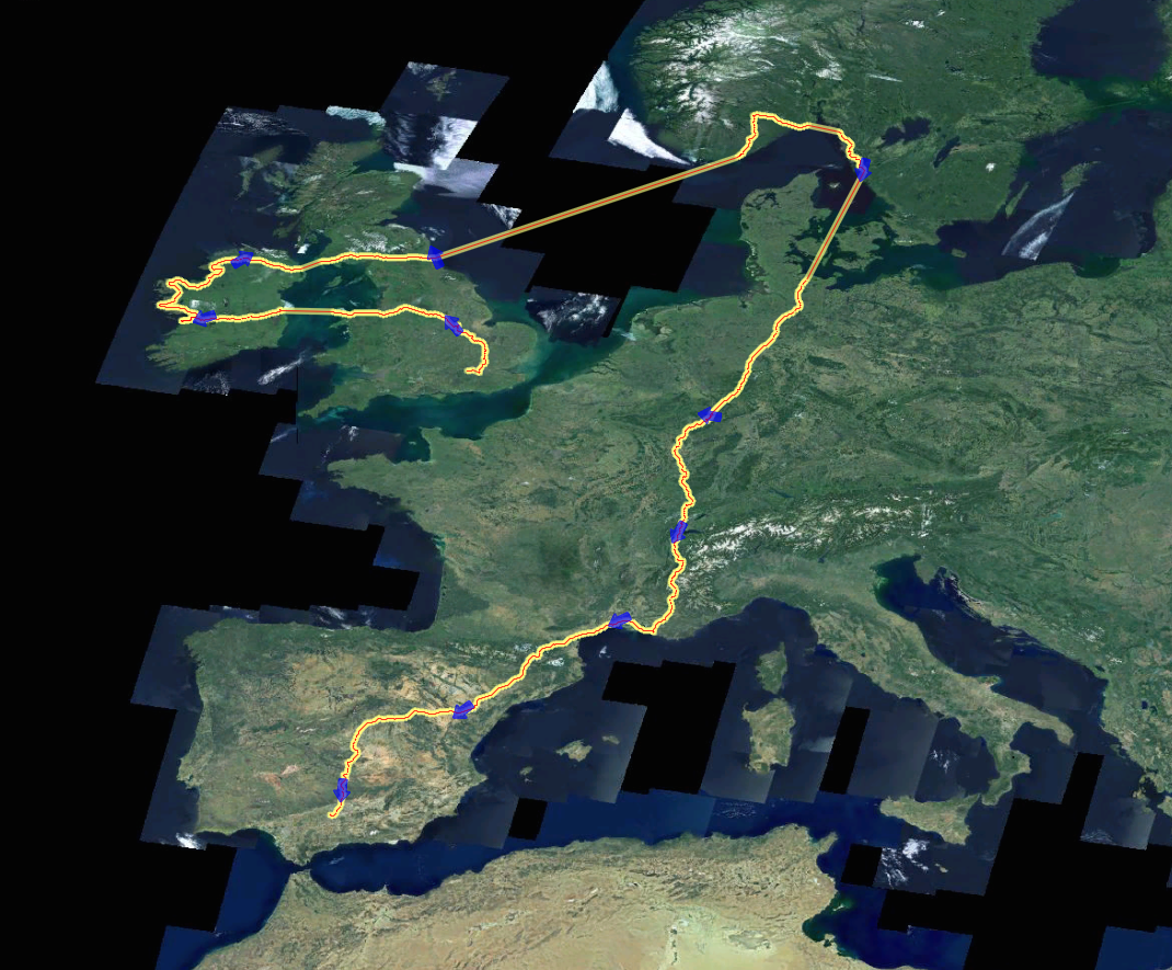
This is an overview of our route. We started in London, England, and finished in Madrid, Spain. The straight lines between Ireland and the British Isles were on Ferries. Also, from Scotland to Norway was on an overnight ferry. Finally, from Gotberg, Sweden to Kiel, Germany was also on an overnight ferry.
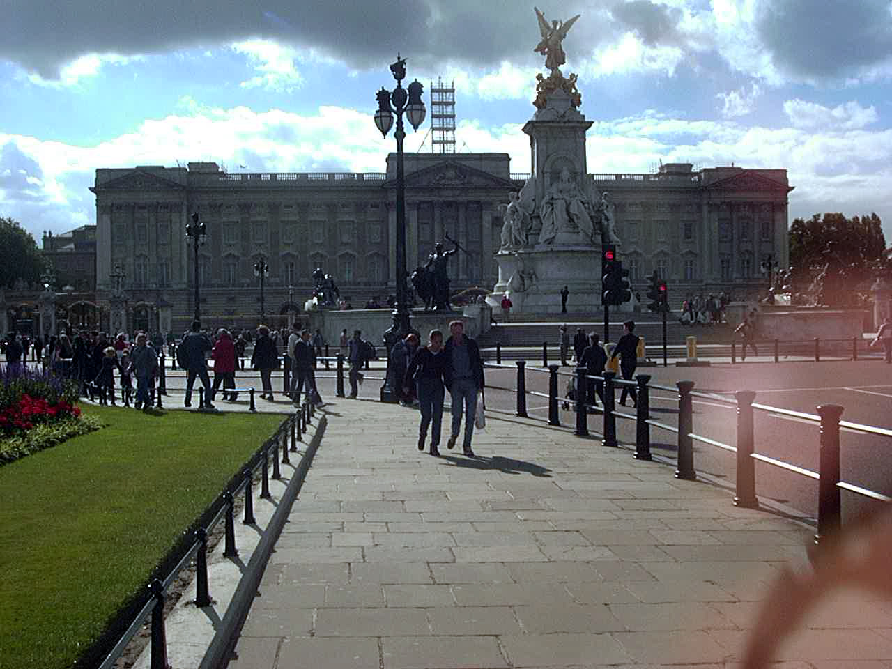
Day2 09/16/2001 London United Kingdom GPS Track and Map
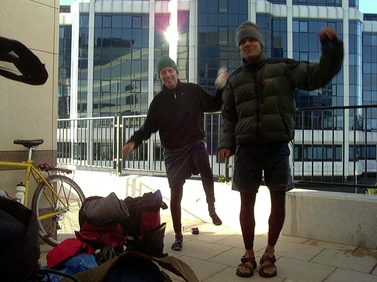
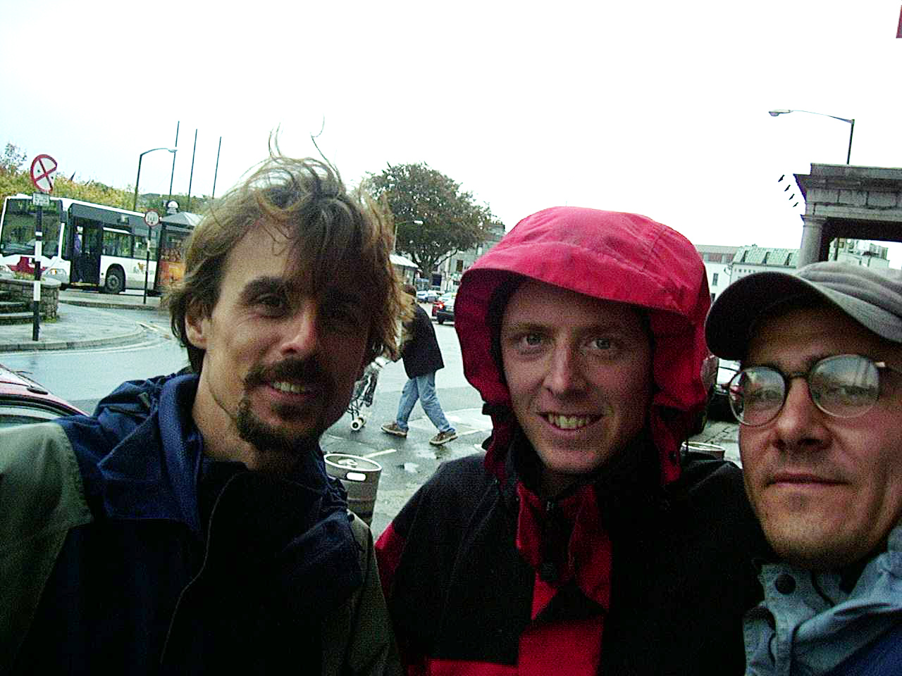
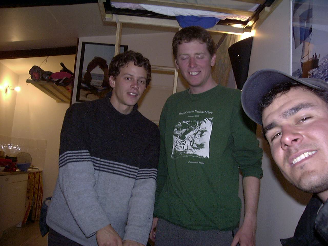
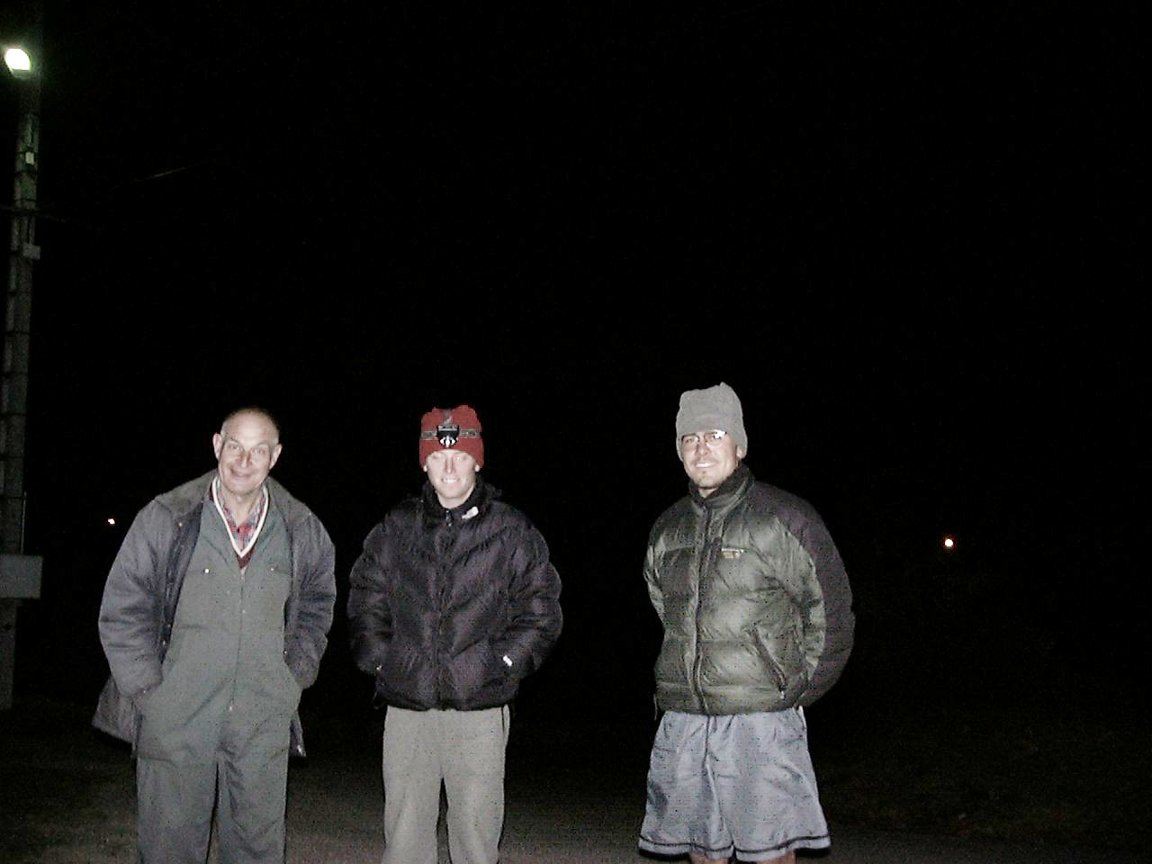
We are Happy to be in England!
Day3 09/17/2001 Beckenham United Kingdom GPS Track and Map
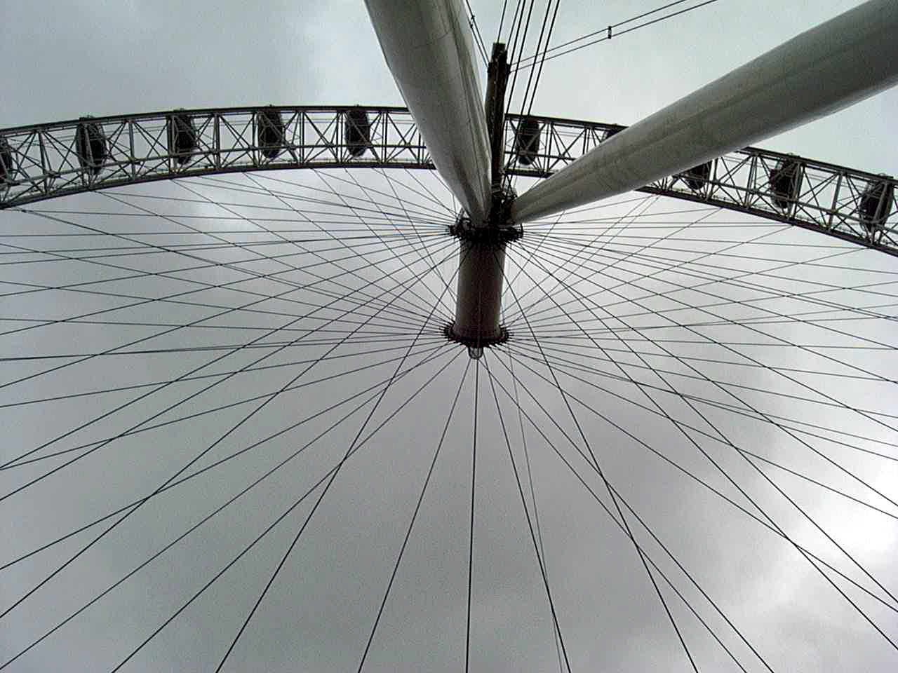
London Eye
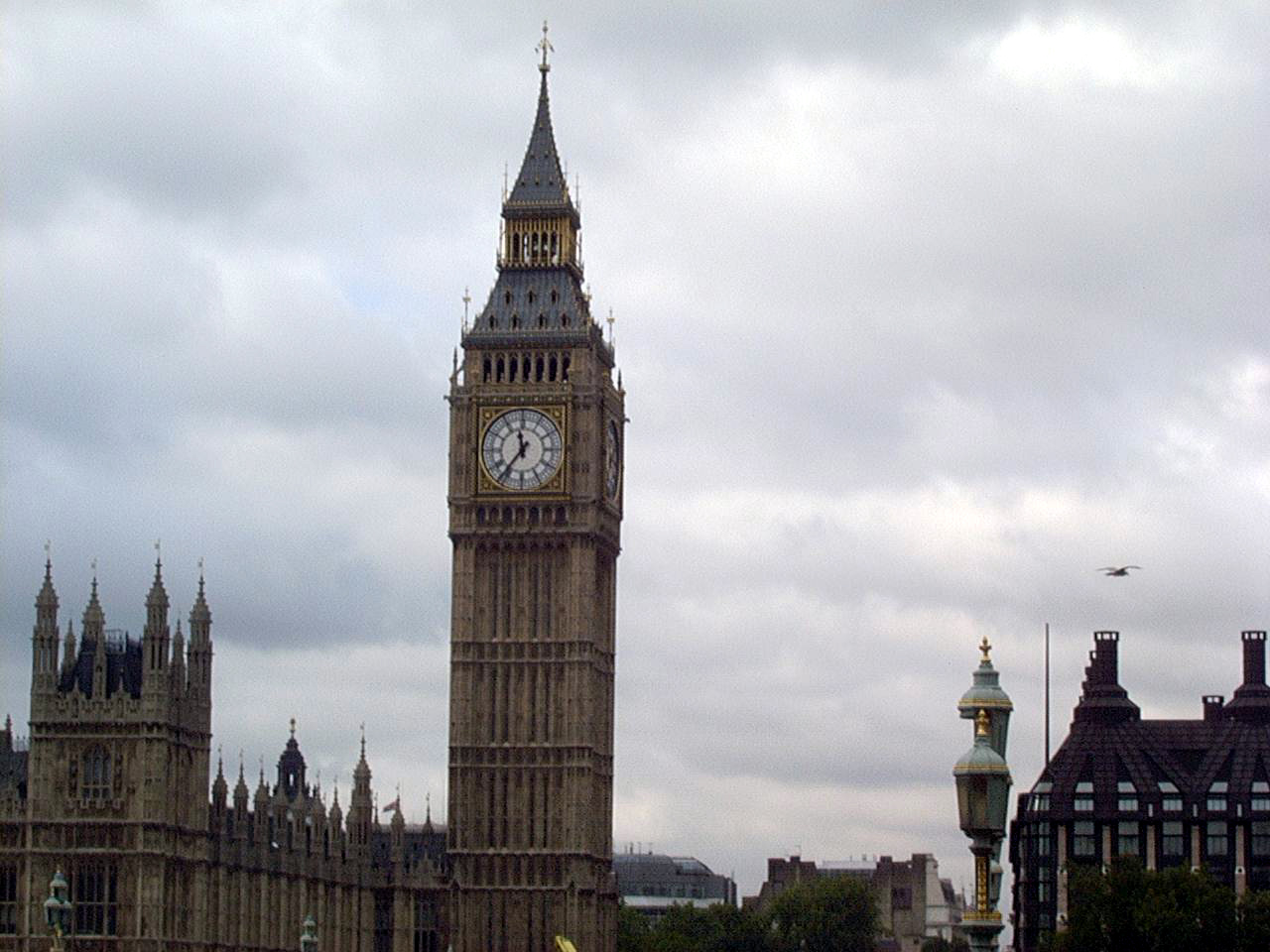
Big Ben in London
Day4 09/18/2001 Sawbridgeworth United Kingdom GPS Track and Map
Day5 09/19/2001 Cambridge United Kingdom GPS Track and Map
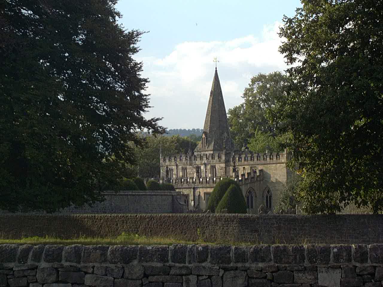
Day6 09/20/2001 Peterborough United Kingdom GPS Track and Map
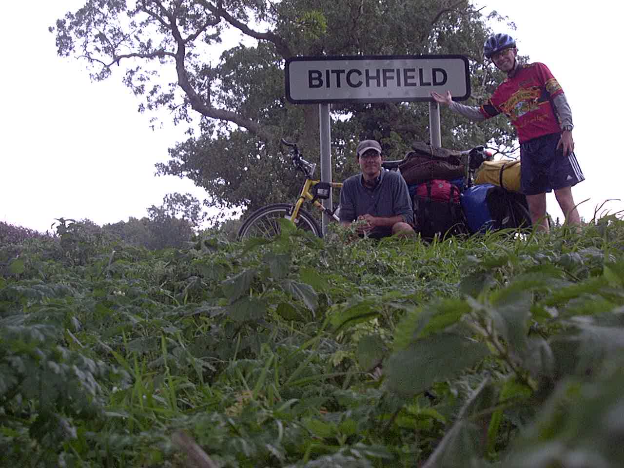
In Bitchfield, United Kingdom
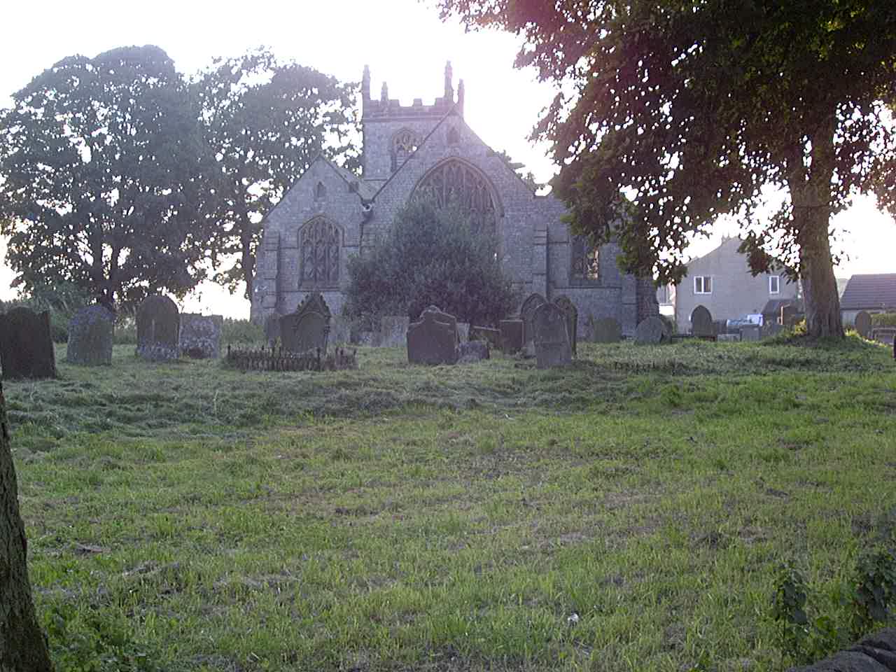
Day7 09/21/2001 Barrowby United Kingdom GPS Track and Map
Day8 09/22/2001 Mansfield United Kingdom GPS Track and Map
Near Ashford in the water
Near Chapel-en-le-Frith
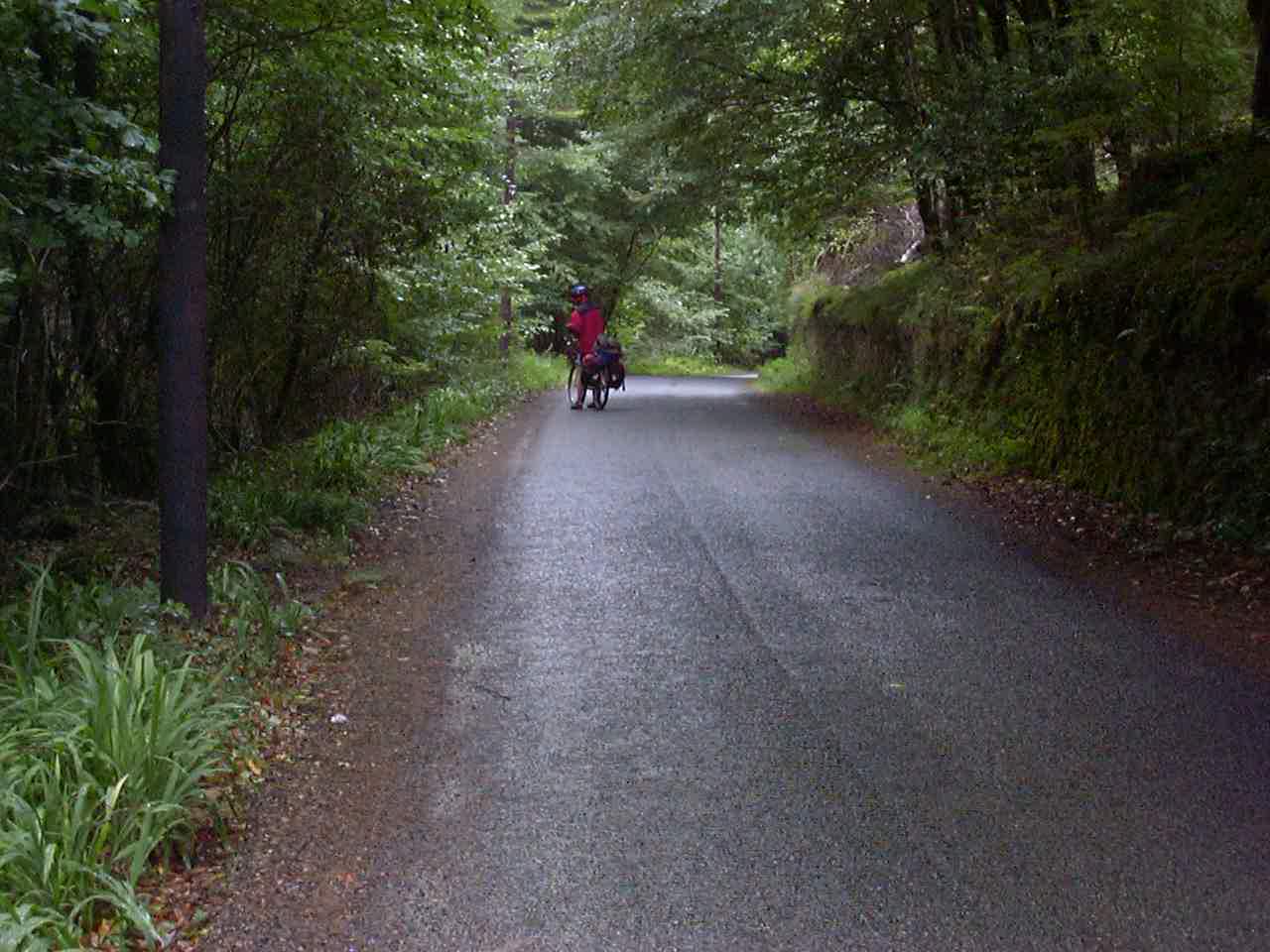
Day9 09/23/2001 High Peak United Kingdom GPS Track and Map
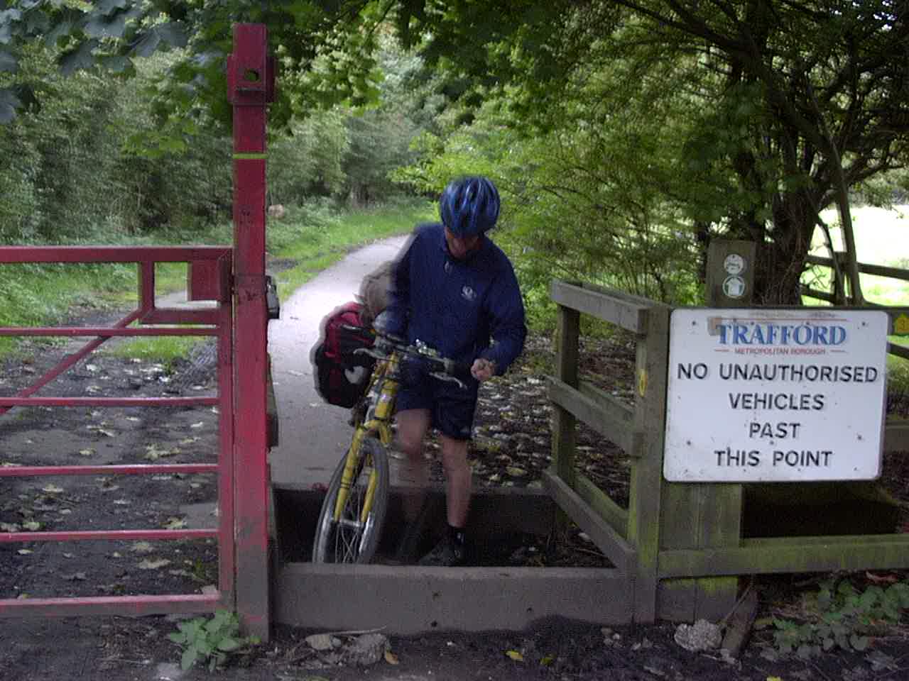
The terrible Trans Penine Trail. It’s probably OK if you have a mountain bike, but you have to carry a touring bike over tones of these barriers. Terrible transpenine trail.
Day11 09/25/2001 Warrington United Kingdom GPS Track and Map
Day12 09/26/2001 Deeside United Kingdom GPS Track and Map
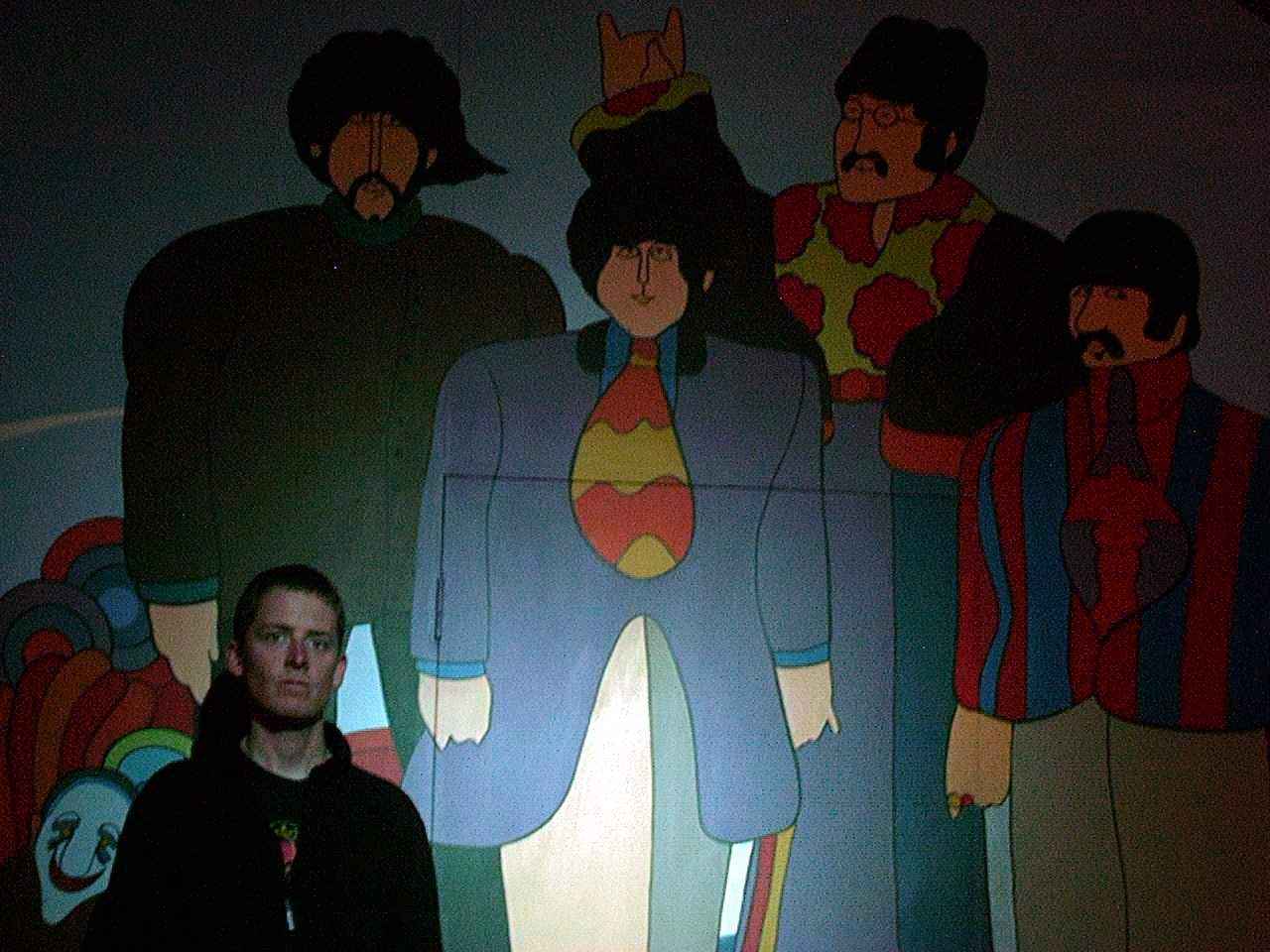
Dennis at the Beatles Museum in Liverpool
Visiting Fran near Padgate Warrington
Near Abergele, Wales
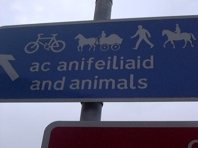
Animals can go on the freeway in Wales!
Day14 09/28/2001 Bangor United Kingdom GPS Track and Map
Staying with Dennis’ friend Rory in Bangor, Wales
Day15 09/29/2001 Dublin Dublin Ireland GPS Track and Map
Day17 10/01/2001 Dublin Dublin Ireland GPS Track and Map
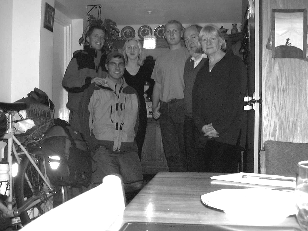
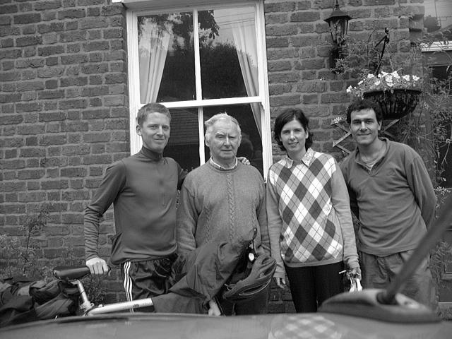
Staying with Dennis’ family: Newla, Liam, Connor, and Barbara in Dublin, Ireland
Near Portarlington, Ireland.
Day18 10/02/2001 Dublin Dublin Ireland GPS Track and Map
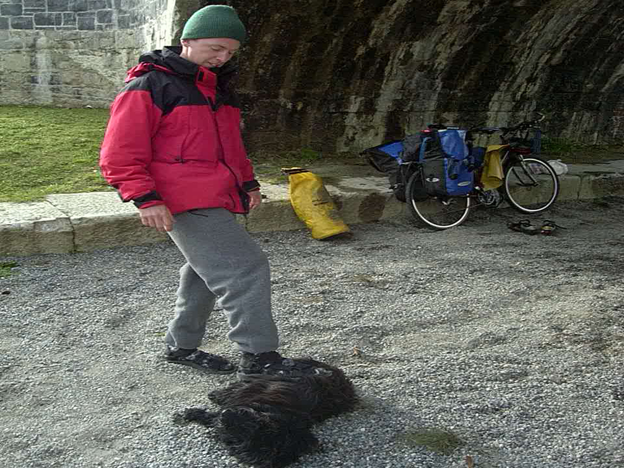
This dog followed us for almost an entire day. Near Portarlington, Ireland.
Day19 10/03/2001 Portarlington Laois Ireland GPS Track and Map
In the Kinnitty Forest. Great riding!
In the Kinnitty Forest. Great riding!
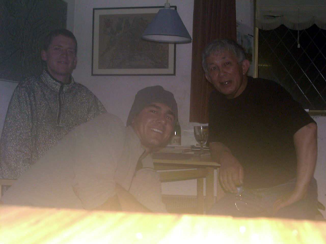
We met this man named Laurens. He invited us to stay in his home in Birr, Ireland
Day20 10/04/2001 Offaly Ireland GPS Track and Map
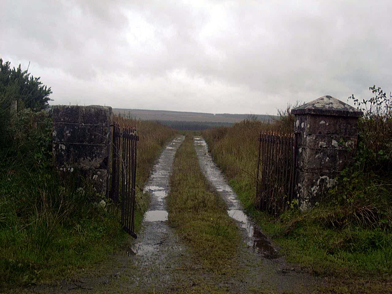
Near Porturona Forest Park
We camped a night in the church in Kinvara because it was raining outside.
Day21 10/05/2001 Galway Ireland GPS Track and Map
Day22 10/06/2001 Clare Ireland GPS Track and Map
Mark, a cycle tourist we met. Pictured in Galway, Ireland.
Day23 10/07/2001 Galway Galway Ireland GPS Track and Map
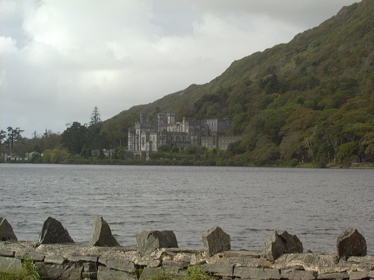
Near Clifden, Ireland
Day24 10/08/2001 Galway Ireland GPS Track and Map
Near Westport Ireland
Day25 10/09/2001 Westport Mayo Ireland GPS Track and Map
Day26 10/10/2001 Mayo Ireland GPS Track and Map
Near Ballina Ireland
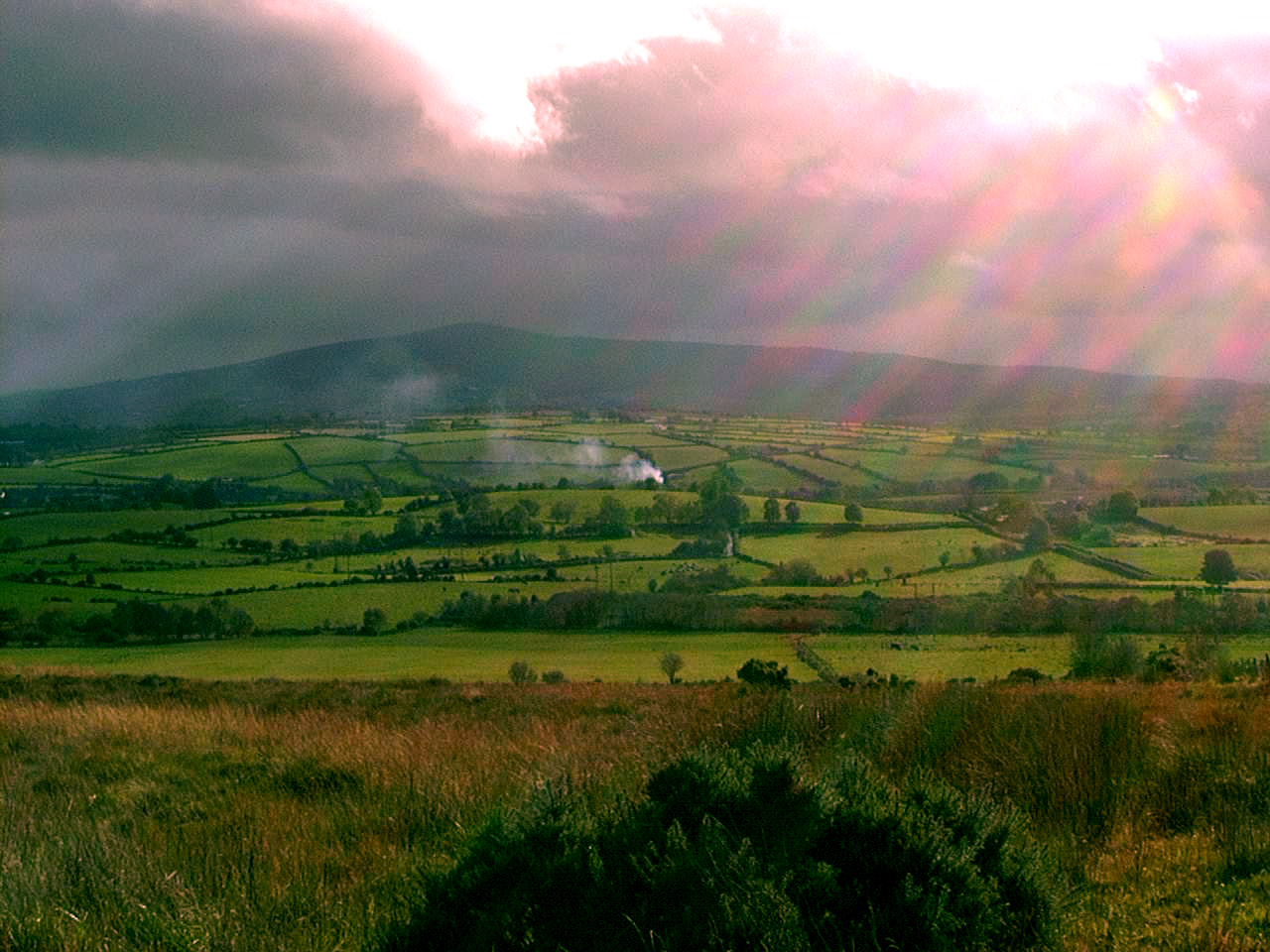
Day27 10/11/2001 Coolaney Sligo Ireland GPS Track and Map
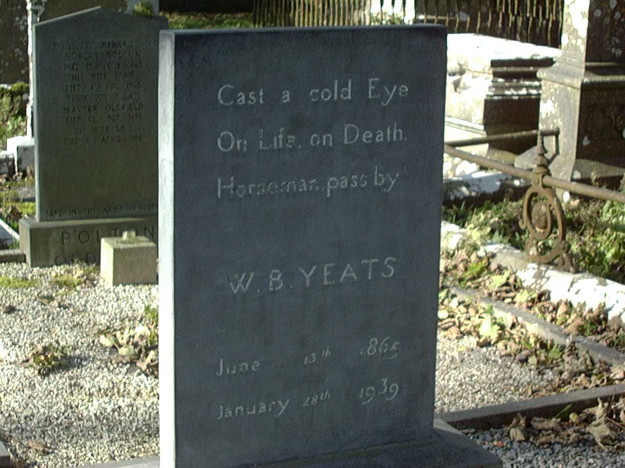
The Gravestone of William Butler Yeats in Drumcliff
Near Donegal Northern Ireland
Day28 10/12/2001 Donegal Ireland GPS Track and Map
Day29 10/13/2001 Letterkenny Donegal Ireland GPS Track and Map
Day30 10/14/2001 Londonderry United Kingdom GPS Track and Map
Day34 10/18/2001 Bangor United Kingdom GPS Track and Map
Day35 10/19/2001 Stranraer United Kingdom GPS Track and Map
Day36 10/20/2001 Dumfries United Kingdom GPS Track and Map
Day37 10/21/2001 Haltwhistle United Kingdom GPS Track and Map
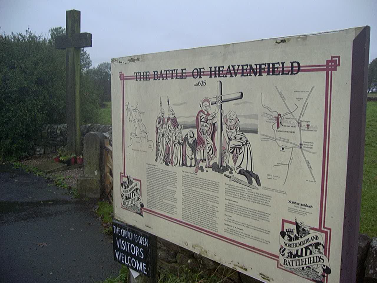
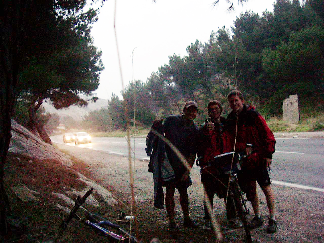
Battle of Heavenfield – Near Hadrian’s wall. Not much to see.
Day39 10/23/2001 Kristiansand Vest-Agder Norway GPS Track and Map
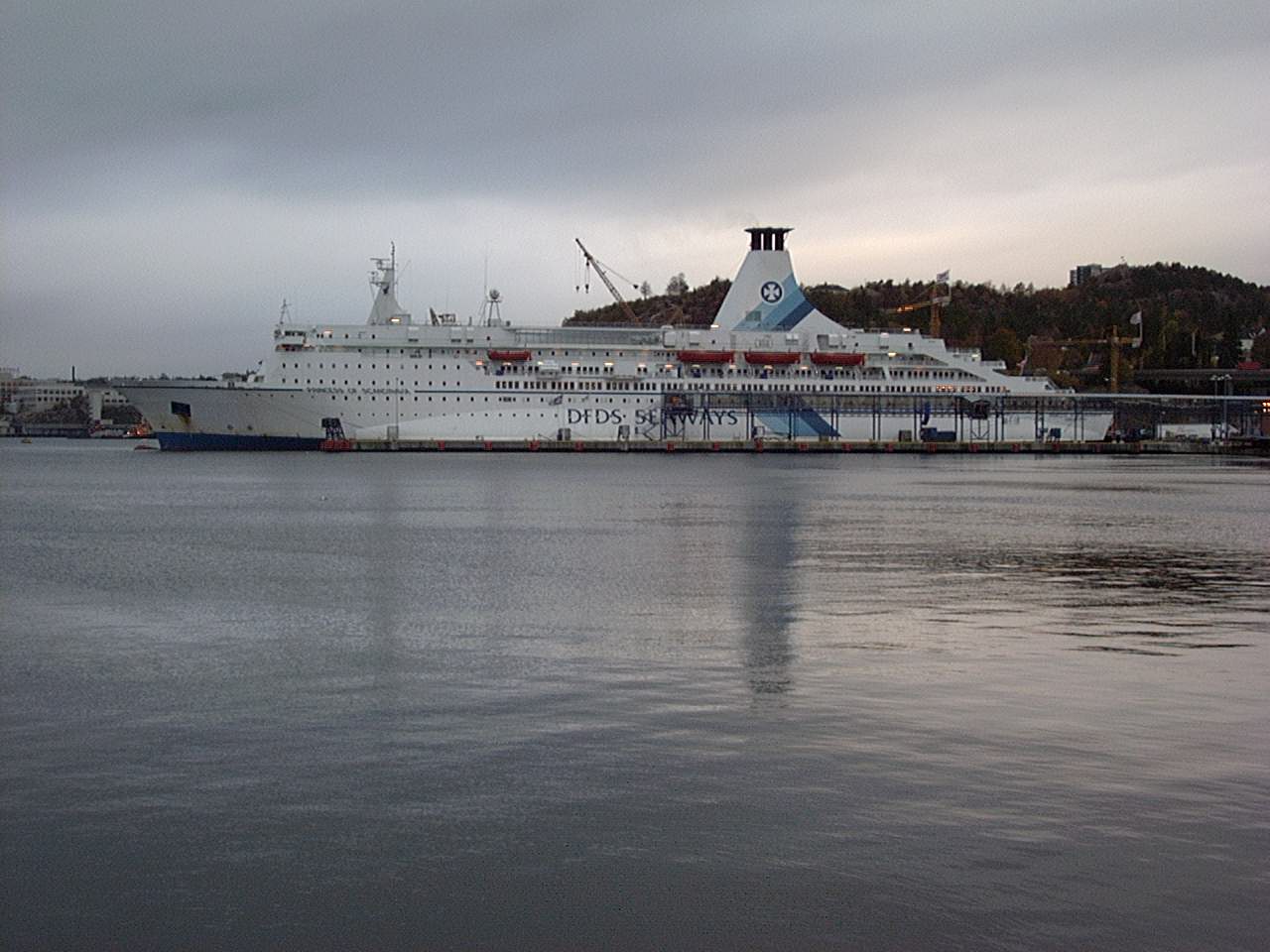
The ferry we took to Kristiansand
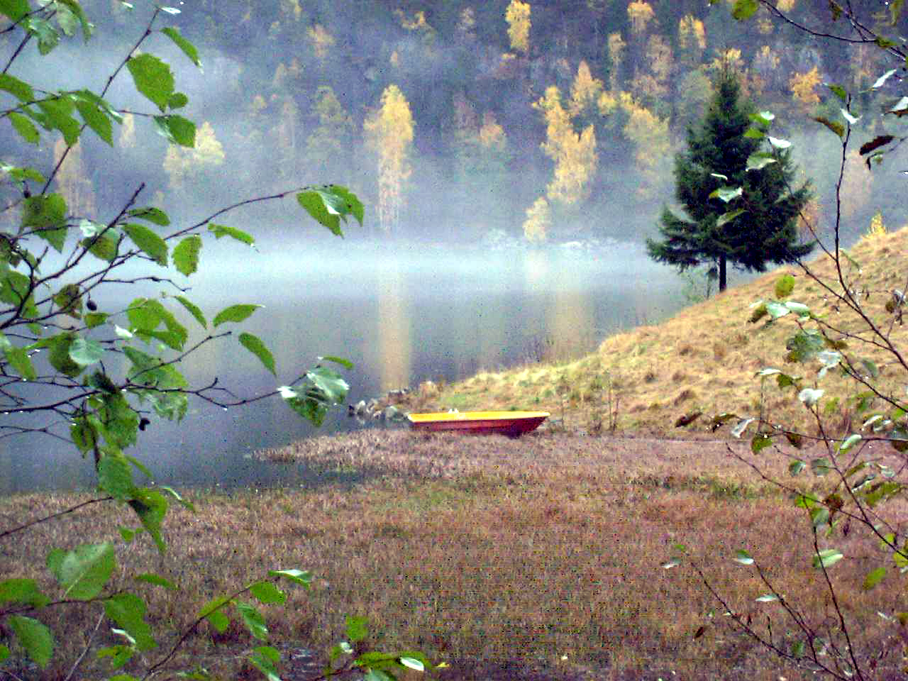
Herefossfjorden
We met some kind folks in Herefoss who took us to stay in their Cabin! What kind people.
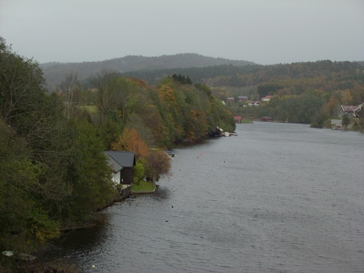
Day41 10/25/2001 Herefoss Aust-Agder Norway GPS Track and Map
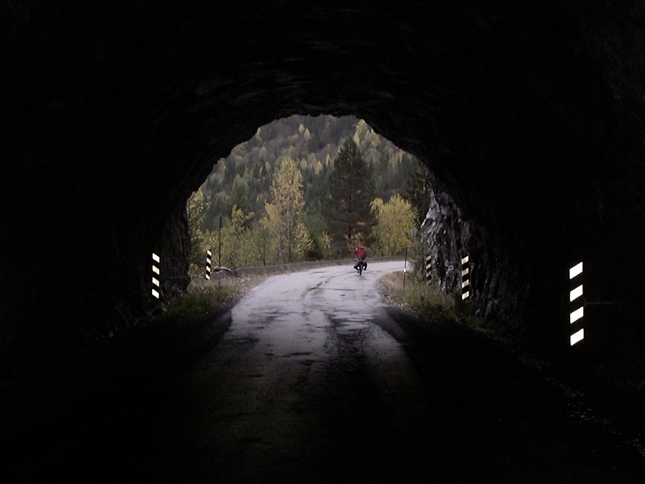
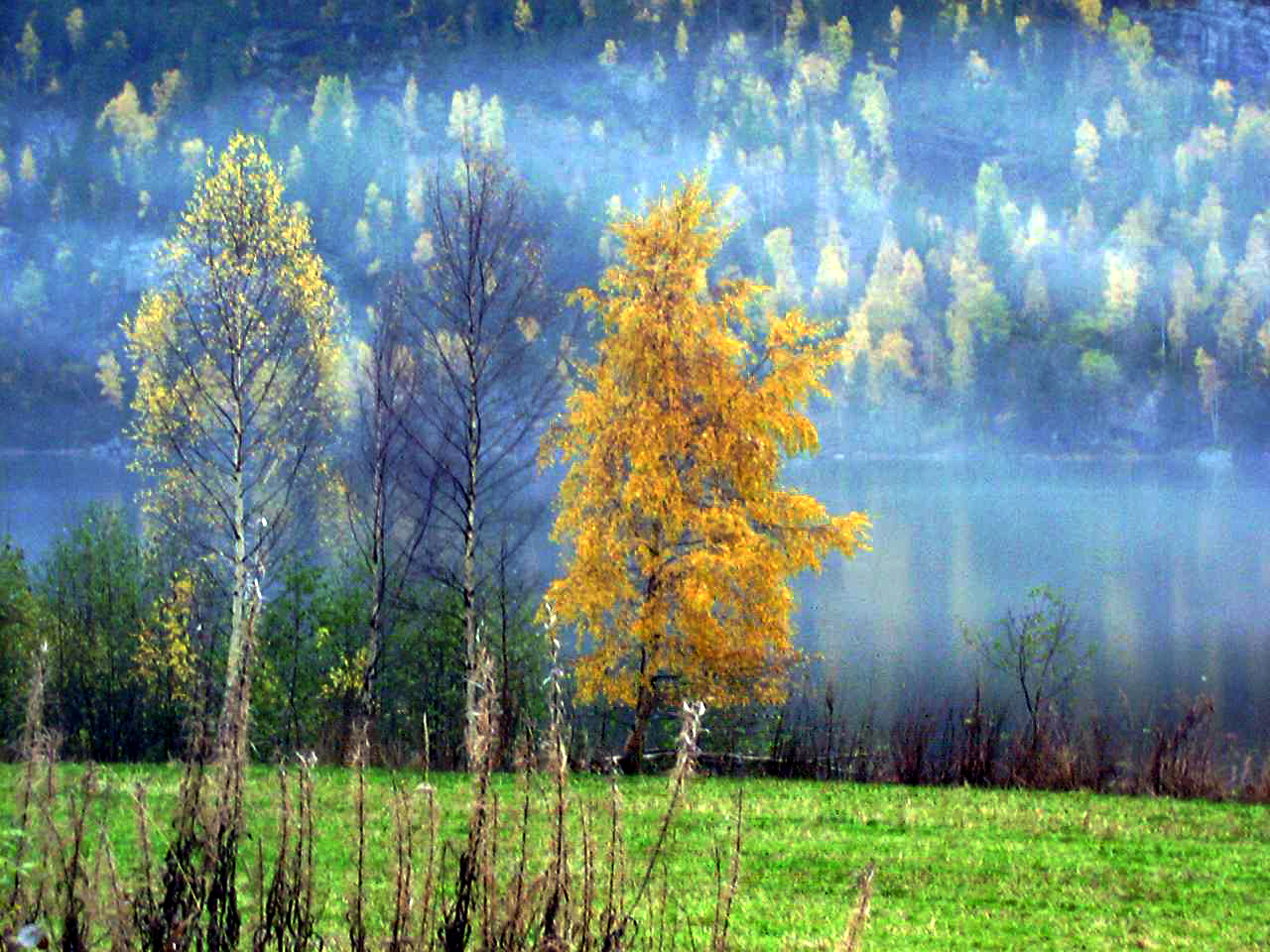
Near Kyrkjebygd in Nissedal
Day42 10/26/2001 Nissedal Telemark Norway GPS Track and Map
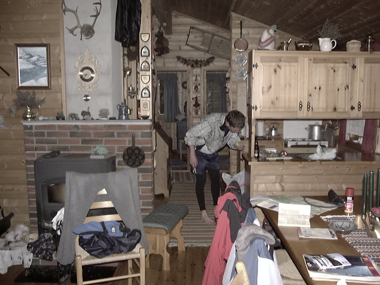
Some wonderful hosts in Nissedal took us in. Thank you for being such kind and wonderful people!
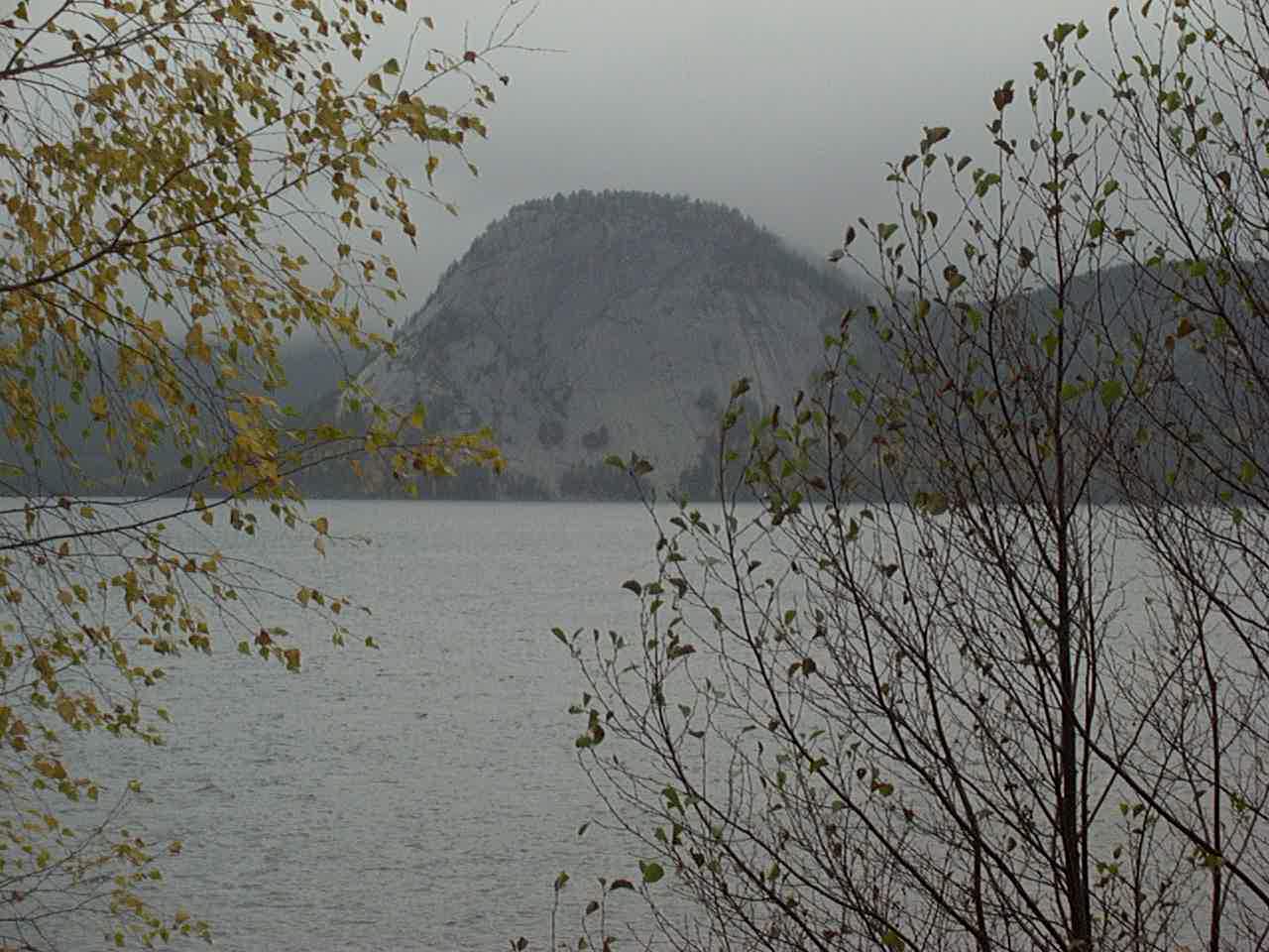
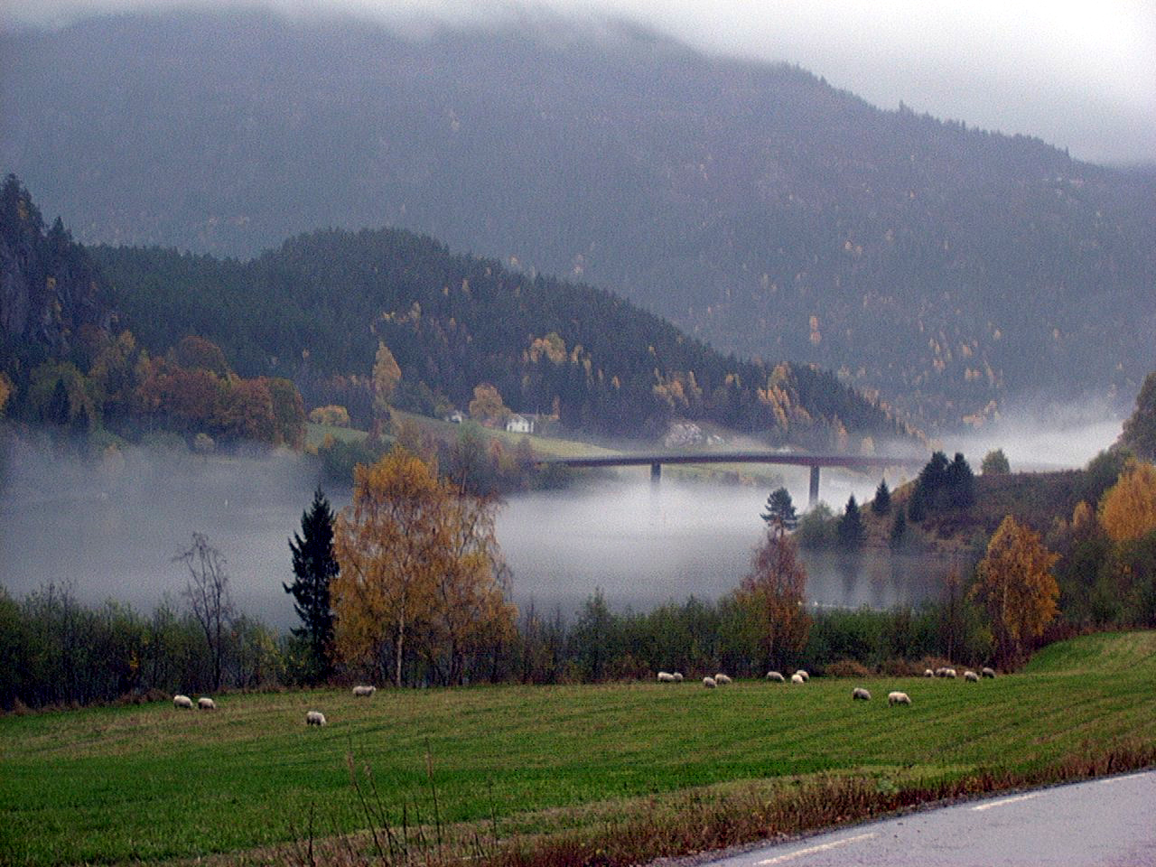
Flåvatn
Flåvatn
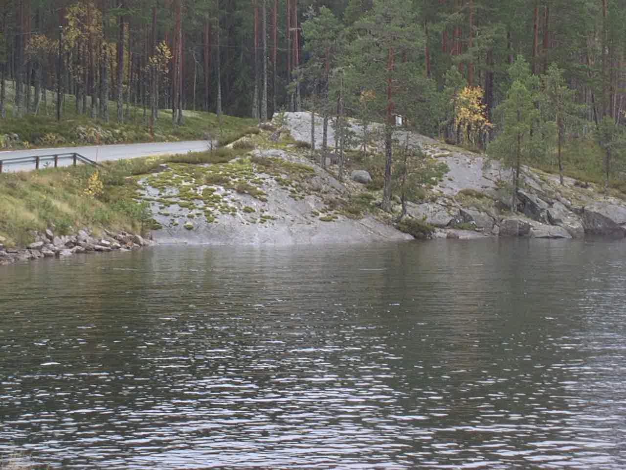
Fjågesundvegen
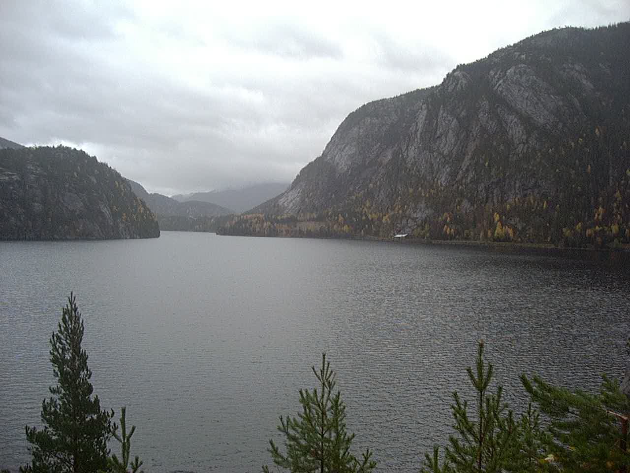
Kviteseidvatnet
Seljordvatnet
Kviteseidvatnet
Day45 10/29/2001 Bø i Telemark Telemark Norway GPS Track and Map
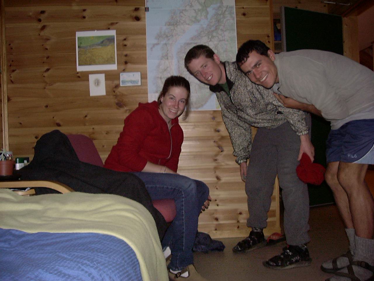
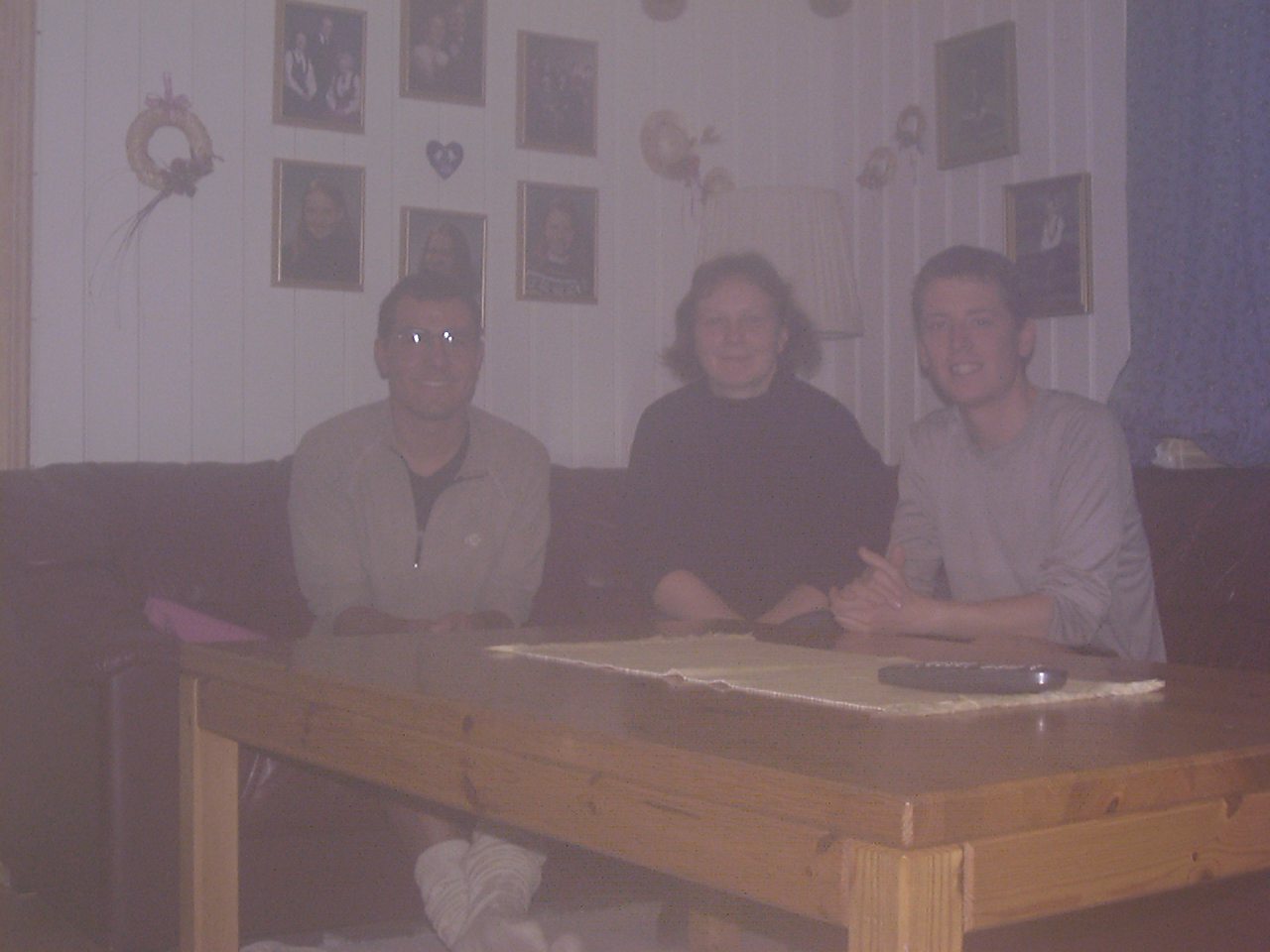
Visitin our friend Sarah in Bö
Day46 10/30/2001 Langangen Telemark Norway GPS Track and Map
Day47 10/31/2001 Tanumshede Västra Götalands län Sweden GPS Track and Map
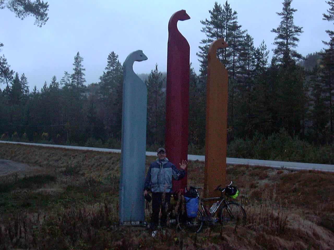
I’m not sure what is going on here.
Day48 11/01/2001 Lysekil N Västra Götalands län Sweden GPS Track and Map
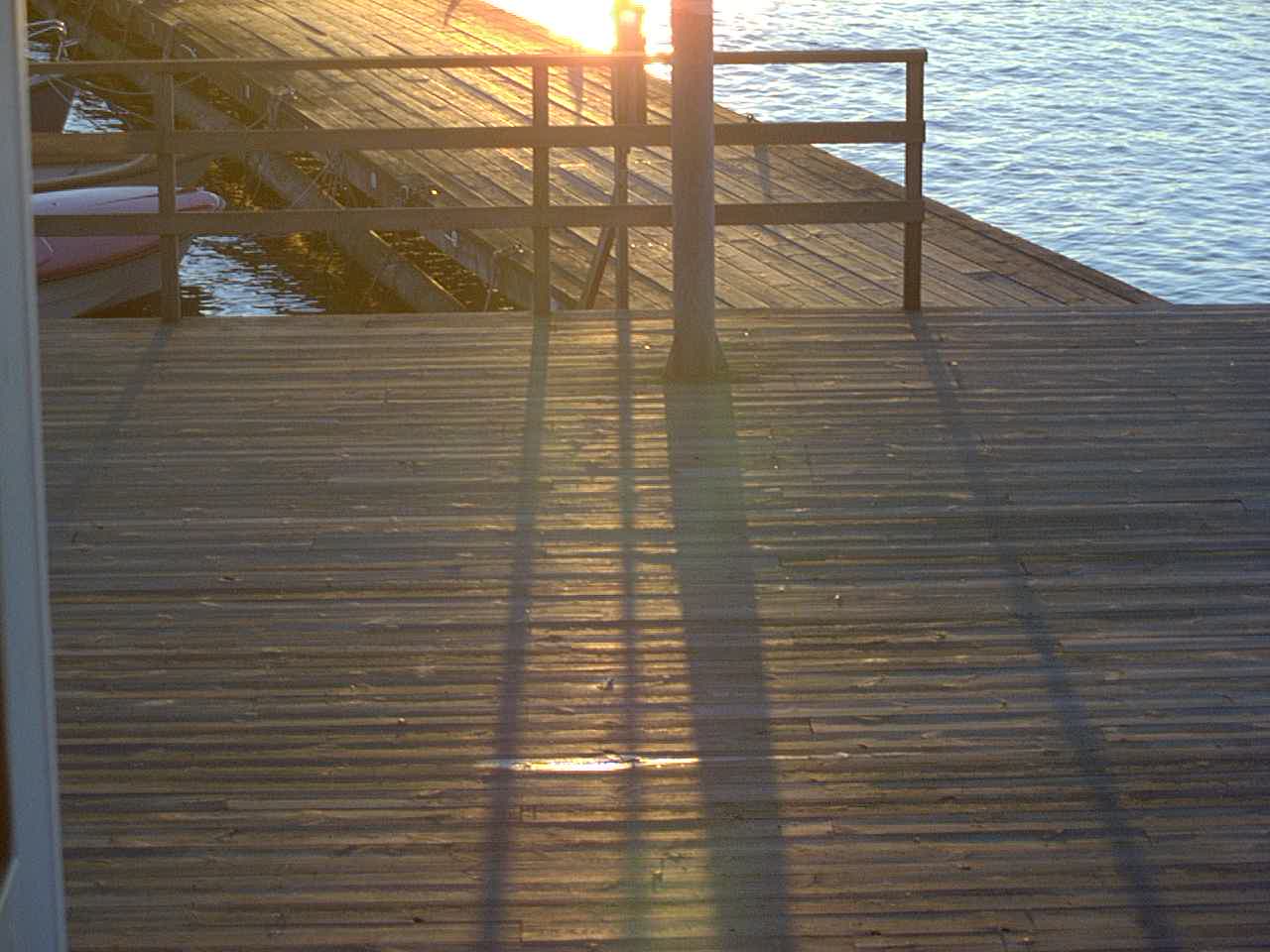
Low angle light in Sweden
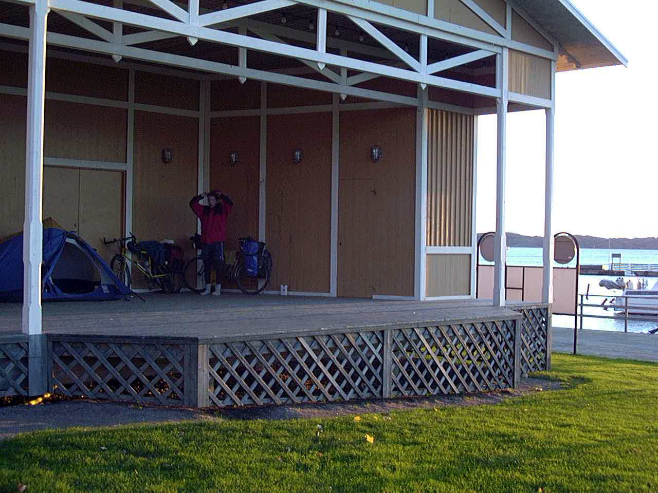
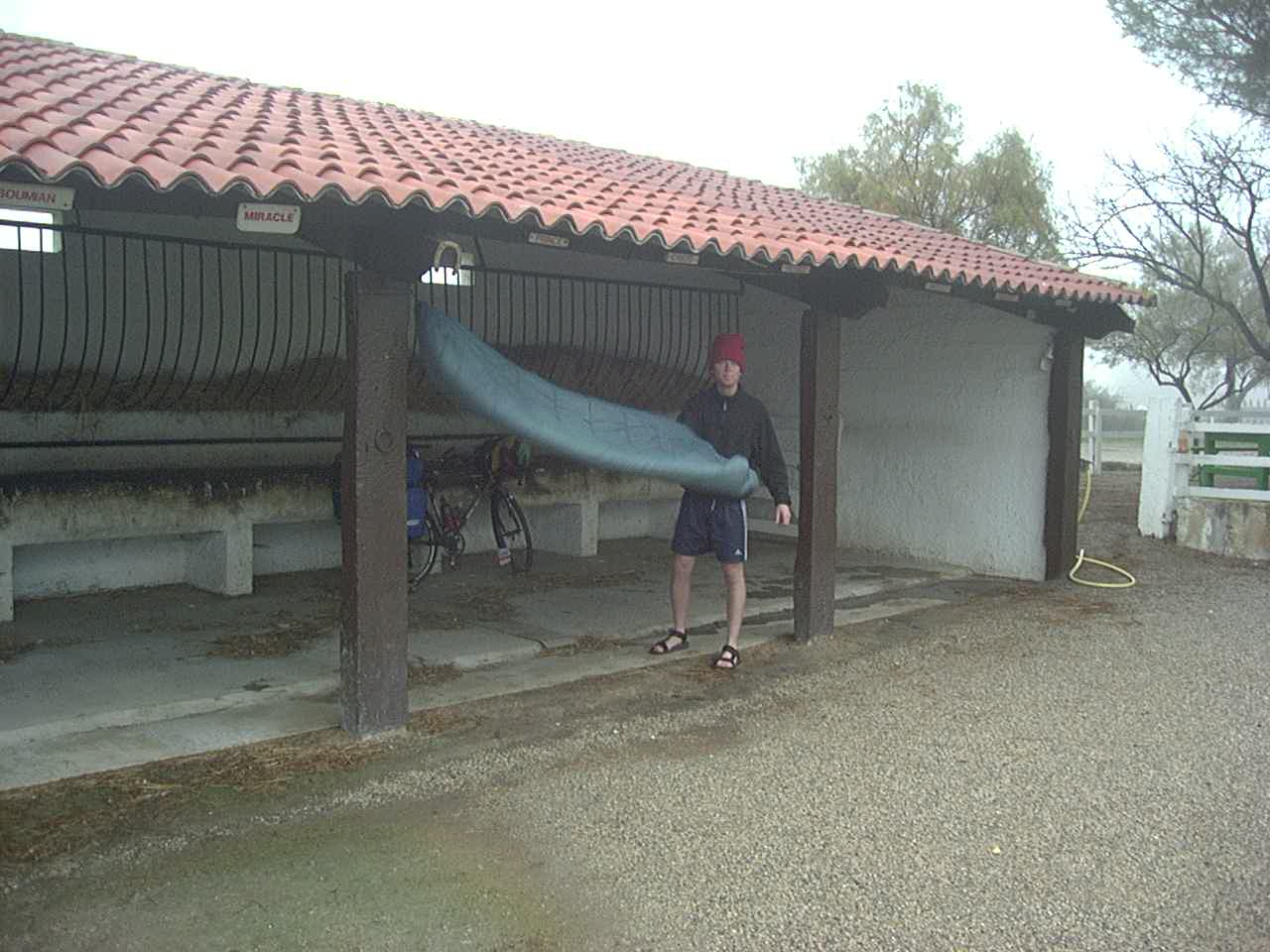
This is the perfect place to camp if there is Rain. Sweden has rain shelter everywhere I’ve been. I love Sweden for this… but I’ve also never been rained on in Sweden! Go figure.
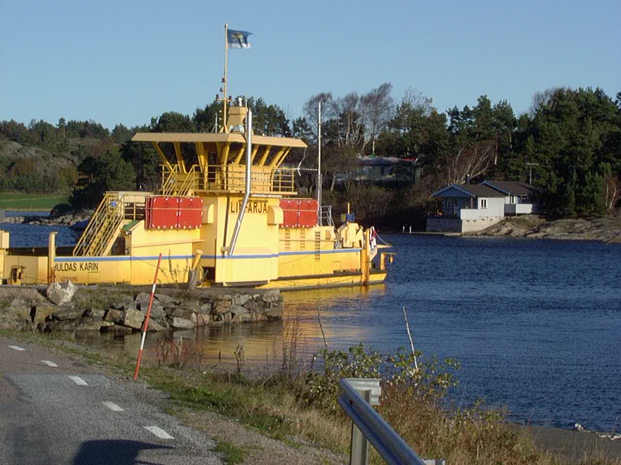
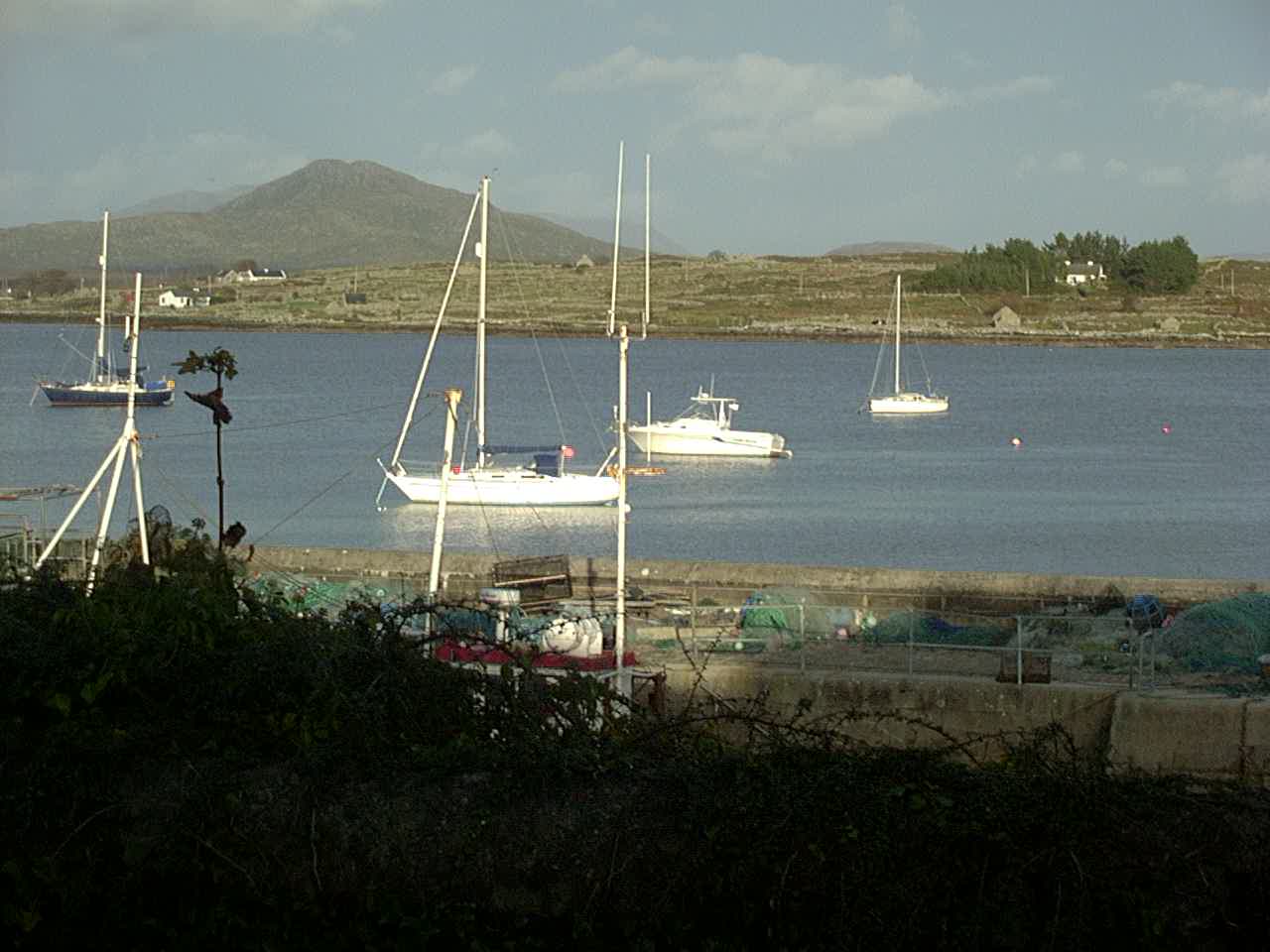
We took a number of short ferry rides in Sweden where there was no bridge.
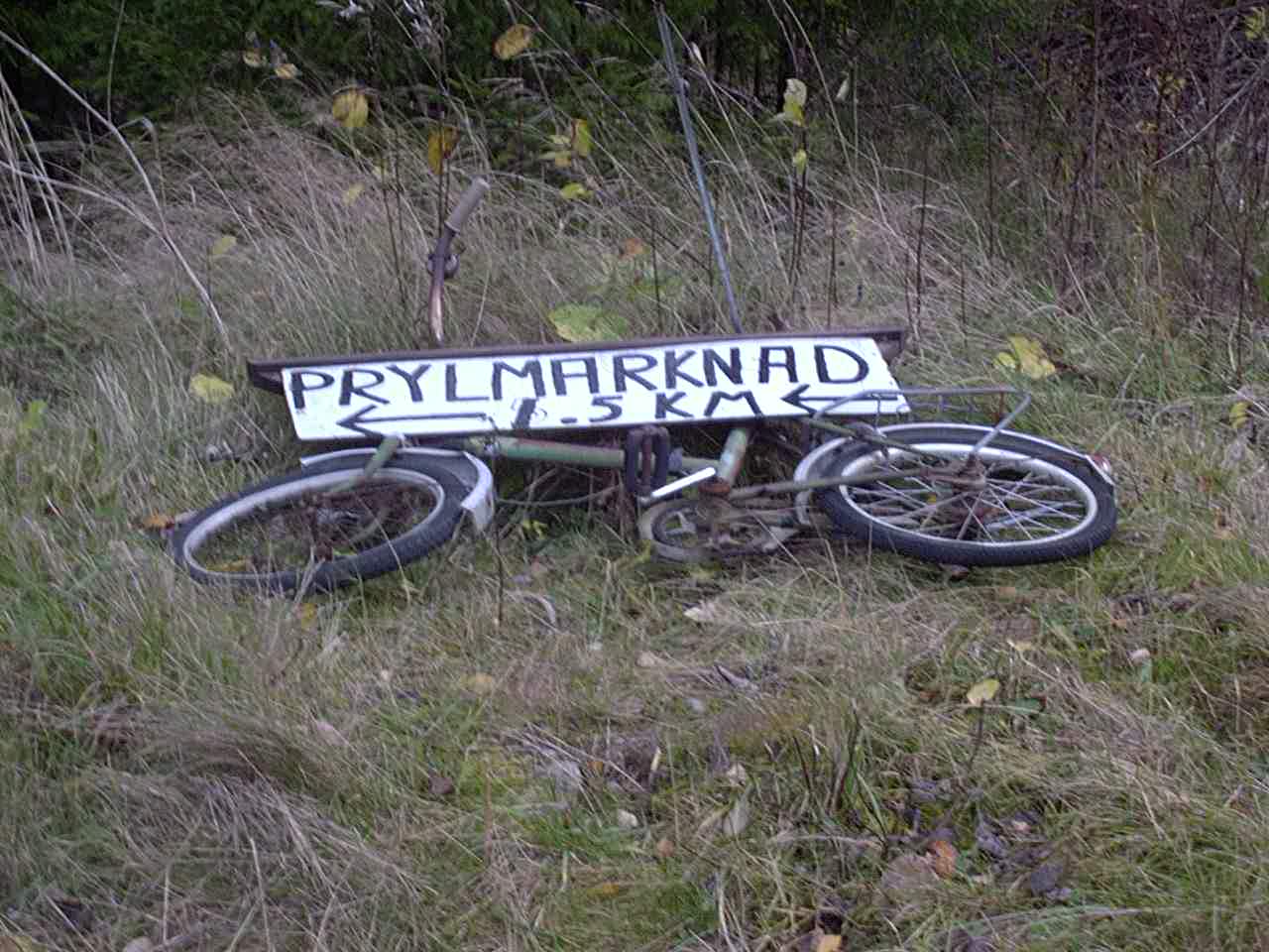
Cyclesparet
Day49 11/02/2001 Kungälv C Västra Götalands län Sweden GPS Track and Map
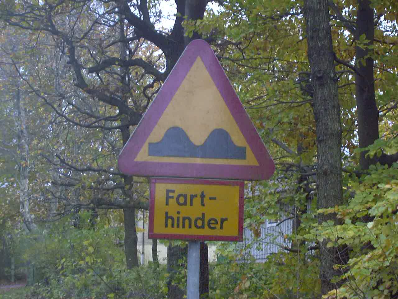
Fart means “speed” and hinder probably means “hinderance.” Speed hinderance.
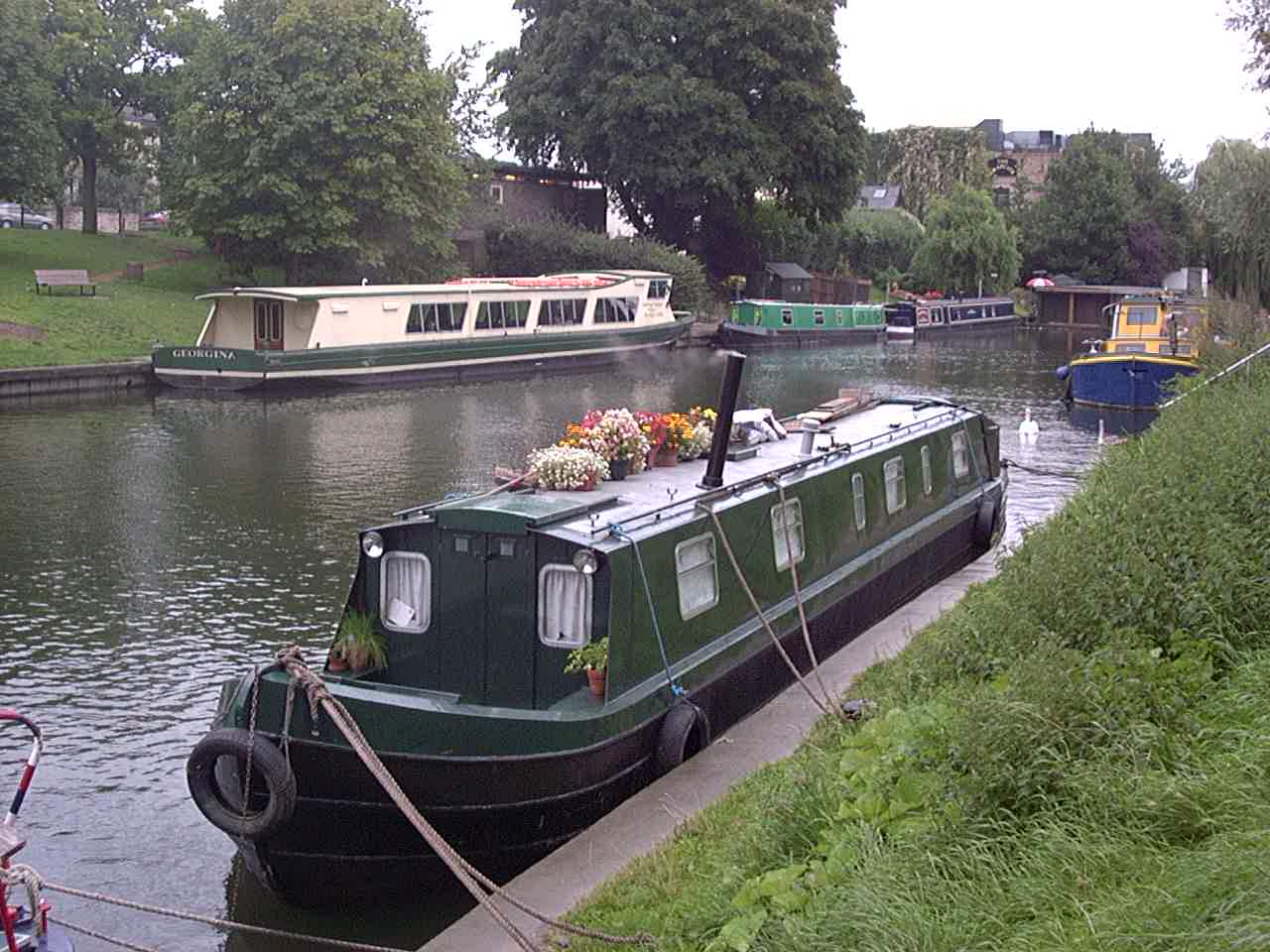
Day50 11/03/2001 Kiel Schleswig-Holstein Germany GPS Track and Map
Day51 11/04/2001 Bad Bramstedt Schleswig-Holstein Germany GPS Track and Map
Day52 11/05/2001 Hamburg Hamburg Germany GPS Track and Map
Day53 11/06/2001 Rotenburg (Wümme) Niedersachsen Germany GPS Track and Map
Day54 11/07/2001 Landesbergen Niedersachsen Germany GPS Track and Map
Day55 11/08/2001 Landesbergen Niedersachsen Germany GPS Track and Map
Day56 11/09/2001 Bad Oeynhausen Nordrhein-Westfalen Germany GPS Track and Map
Day57 11/10/2001 Lippstadt Nordrhein-Westfalen Germany GPS Track and Map
Day58 11/11/2001 Meschede Nordrhein-Westfalen Germany GPS Track and Map
Day59 11/12/2001 Siegen Nordrhein-Westfalen Germany GPS Track and Map
Day60 11/13/2001 Herschbach Rheinland-Pfalz Germany GPS Track and Map
Moselle river.
Near Moselle river.
Day61 11/14/2001 Cochem Rheinland-Pfalz Germany GPS Track and Map
Day62 11/15/2001 Traben-Trarbach Rheinland-Pfalz Germany GPS Track and Map
Day63 11/16/2001 Trier Rheinland-Pfalz Germany GPS Track and Map
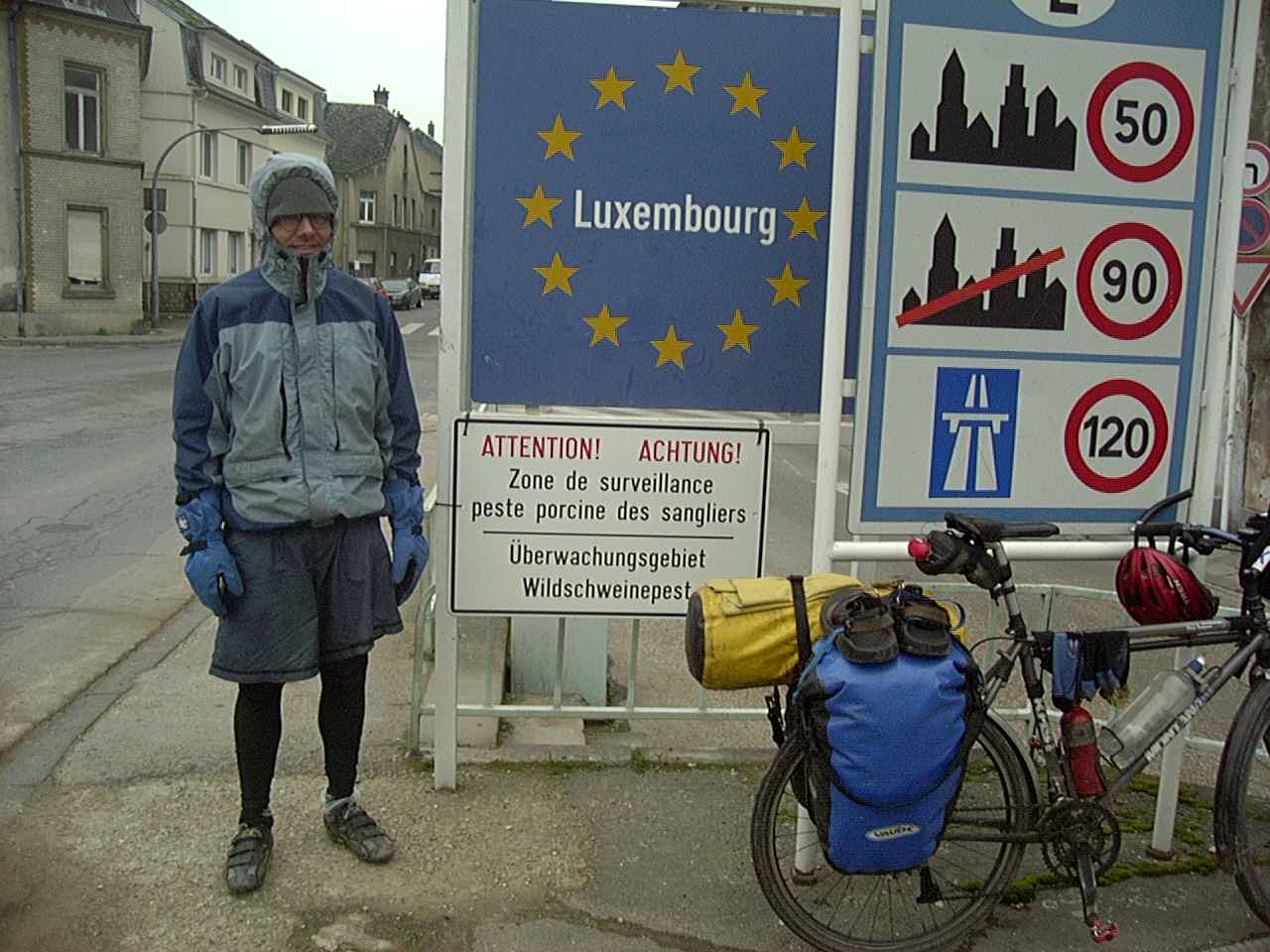
We paid a quick, cold visit to Luxembourg
Day64 11/17/2001 Kœnigsmacker Lorraine France GPS Track and Map
Day65 11/18/2001 Metz Lorraine France GPS Track and Map
Day66 11/19/2001 Charmes Lorraine France GPS Track and Map
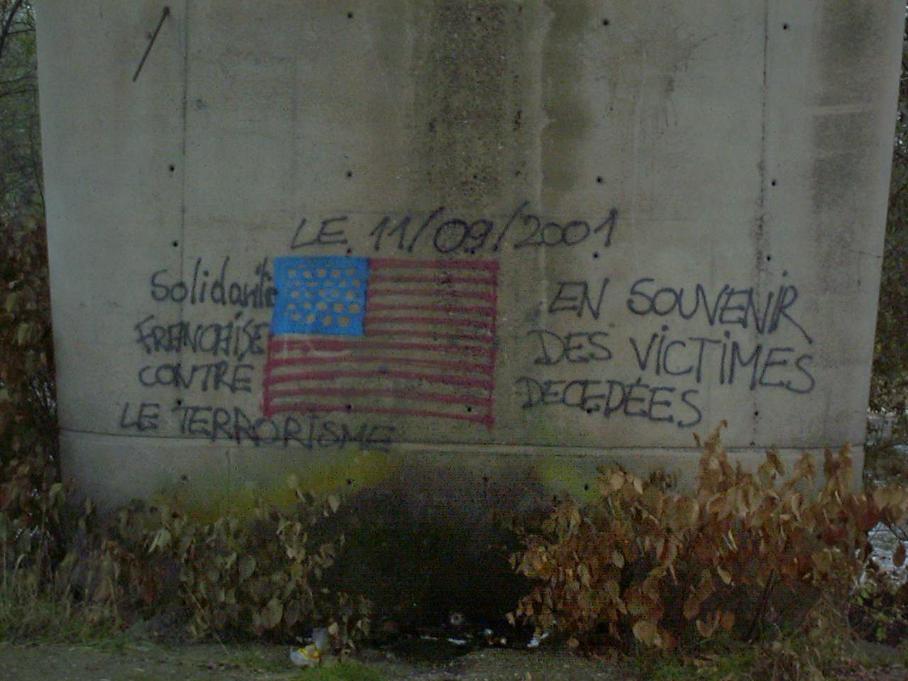
French Solidarity with the United States from September 11th, 2001
Day67 11/20/2001 Fougerolles Franche-Comté France GPS Track and Map
Day68 11/21/2001 Vellevans Franche-Comté France GPS Track and Map
Day69 11/22/2001 Les Grangettes Franche-Comté France GPS Track and Map
Lac Le Doubs
Near Lac Brenet
Near La Grange Royet / Le Bambos / Route de Mouthe in France/Switzerland
Near Derriere les Crets
Near Derriere les Crets
Near Derriere les Crets
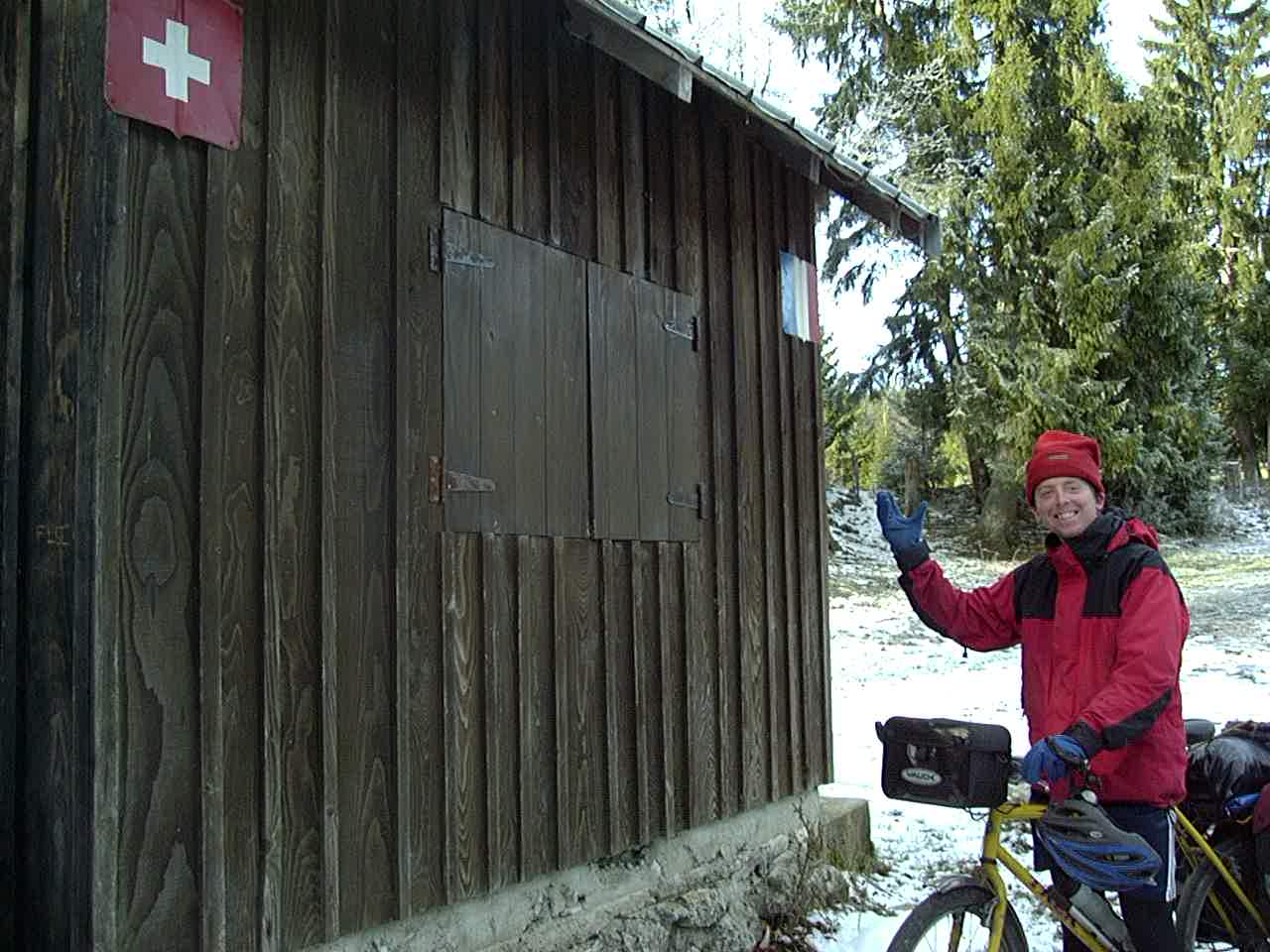
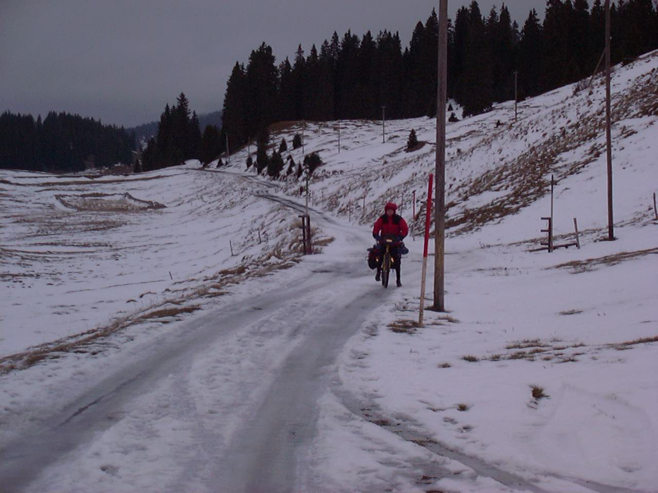
Day70 11/23/2001 Bassins Vaud Switzerland GPS Track and Map
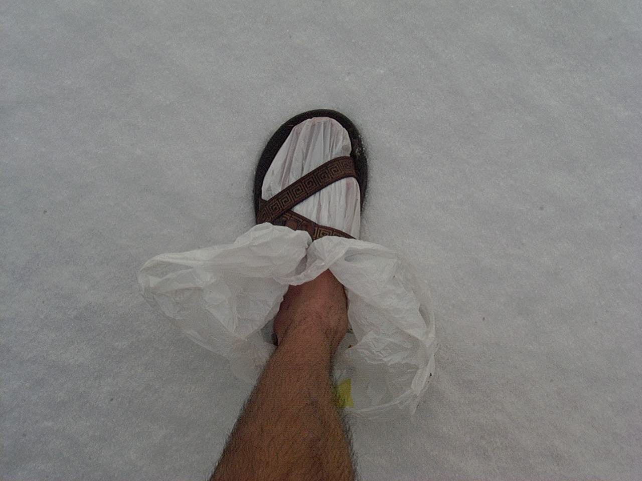
Our feet were always so cold for months. I’d wear plastic bags, with wool socks on top, with another plastic bag over the top. After many months of this, upon my return home, I had numbness in my feet. In fact, the numbness lasted almost a year after the trip. I’m not sure if it was the long term cold or the contact with plastic.
Near Cabane de
Near Arzier Le Muids France
Near Arzier Le Muids France
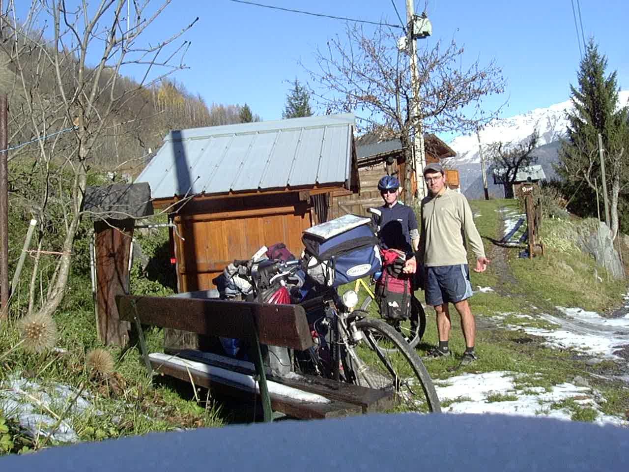
Day71 11/24/2001 Cernex Rhône-Alpes France GPS Track and Map
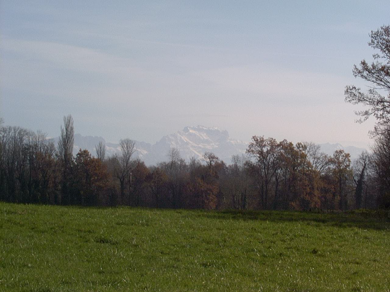
Near Saint Pierre d’ Albigny
Near Sainte Reine on D911
Near Saint Pierre d’ Albigny
Near Sainte Reine on D911
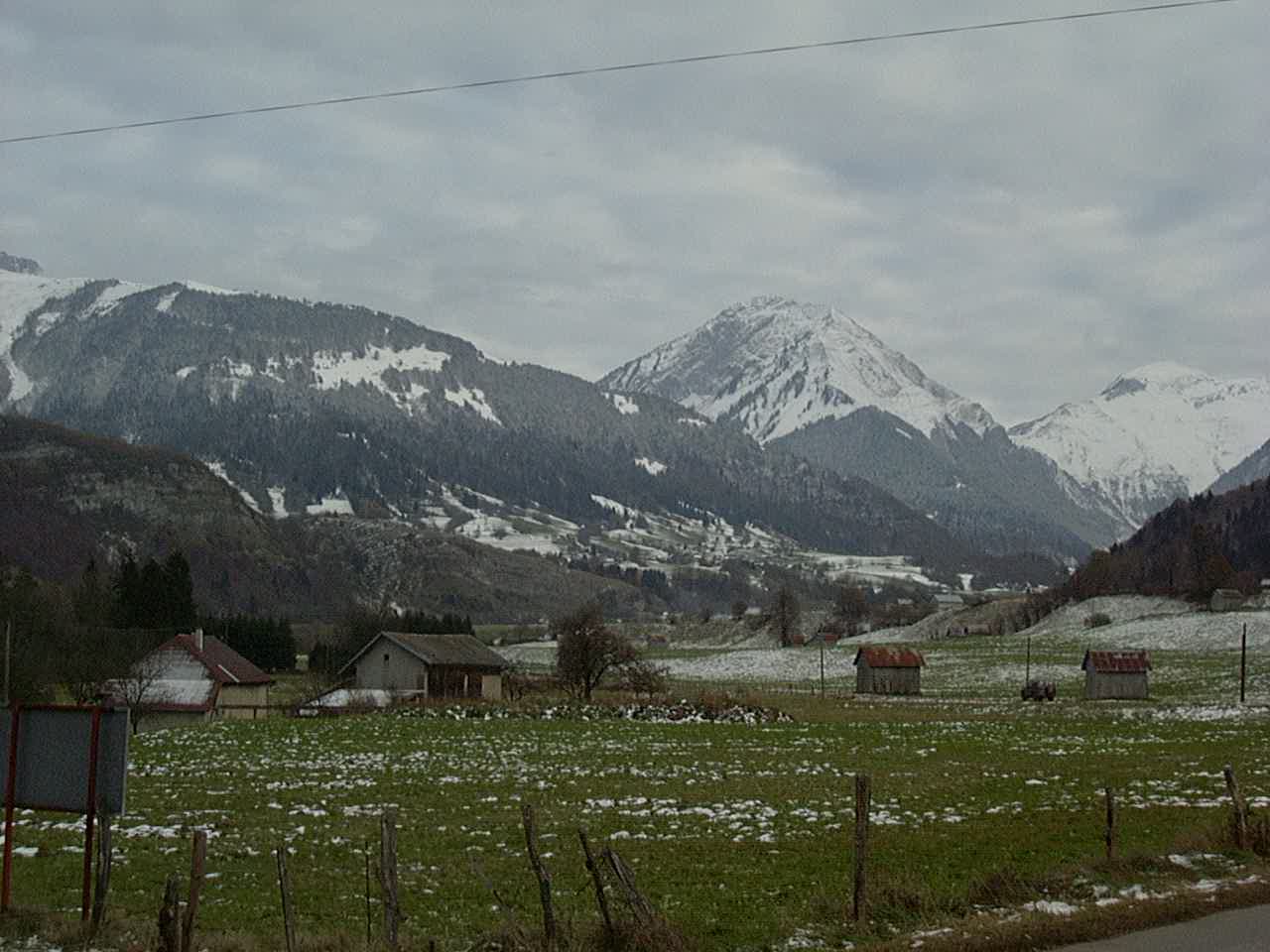
Day72 11/25/2001 Saint-Pierre-d’Albigny Rhône-Alpes France GPS Track and Map
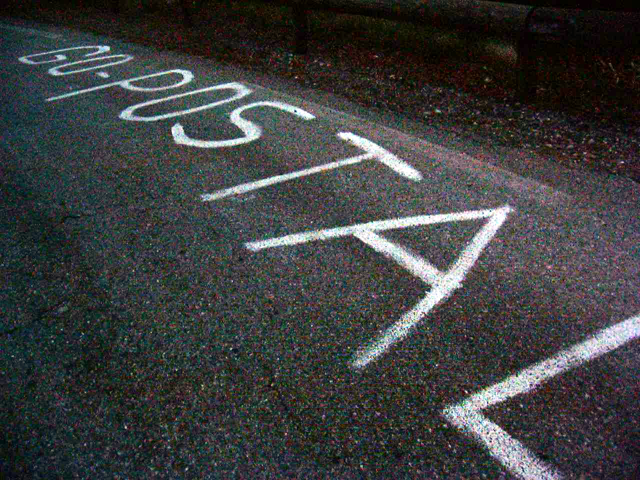
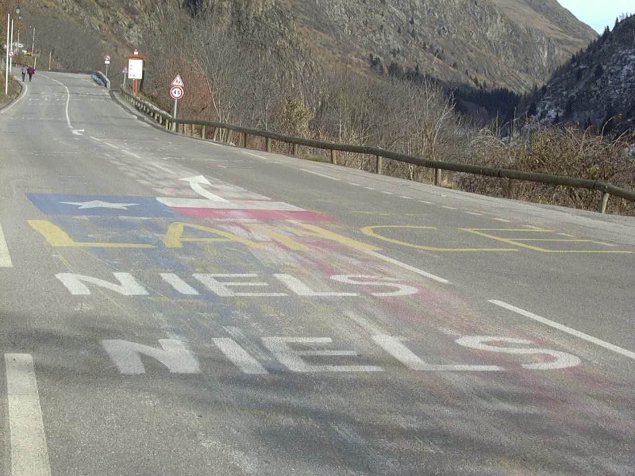
Messages for the Tour de France Riders
Near Saint Jean de Maurienne
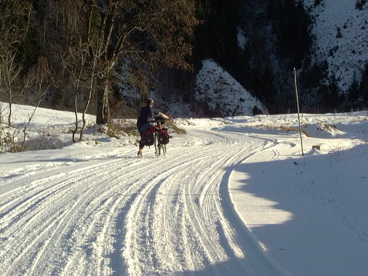
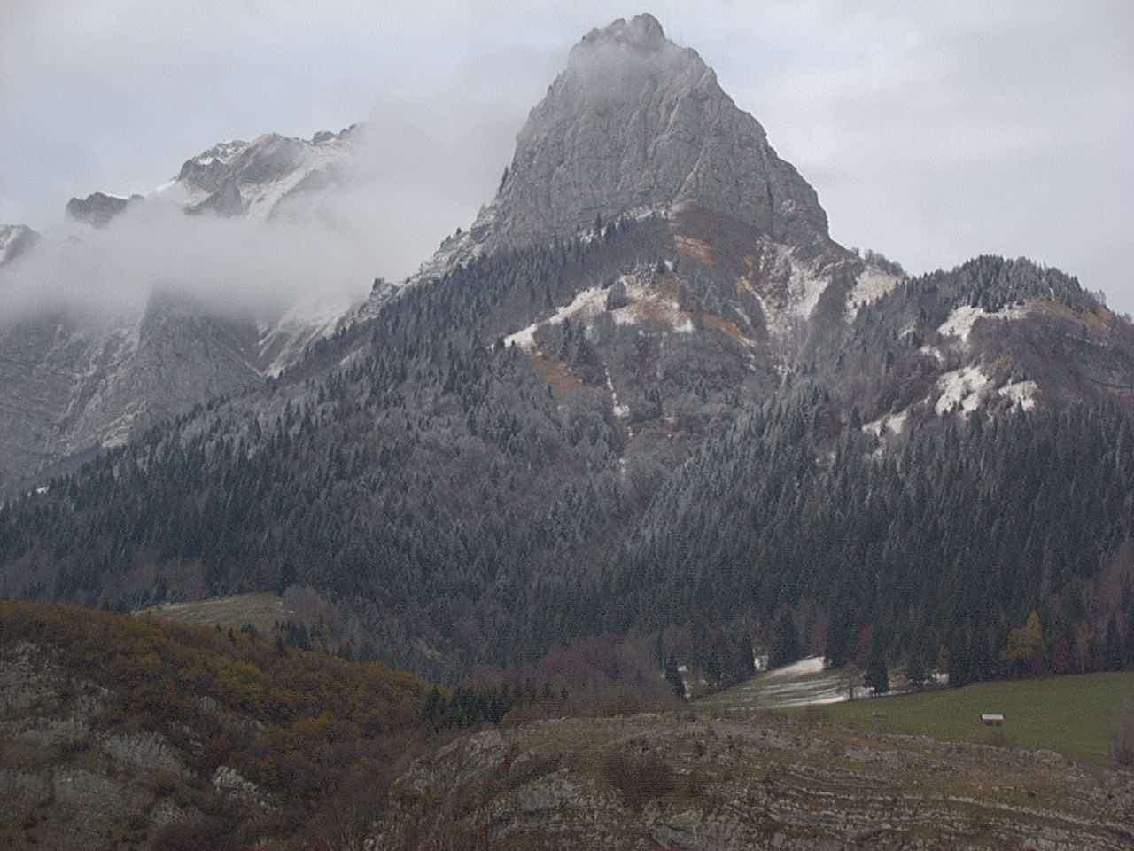
Col du Glandon – it was “closed” so we alkyd our bikes over it.
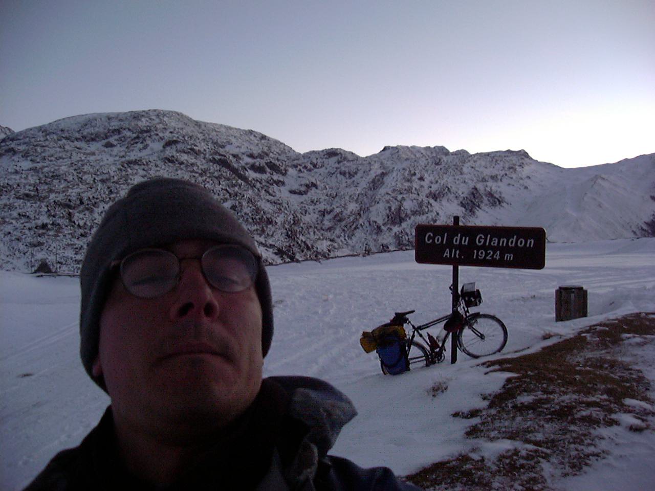
Col du Glandon – it was “closed” so we alkyd our bikes over it.
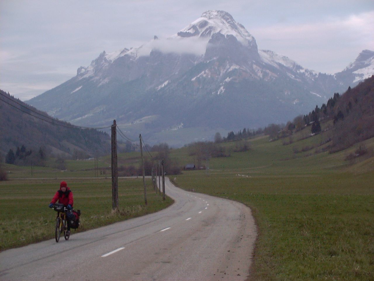
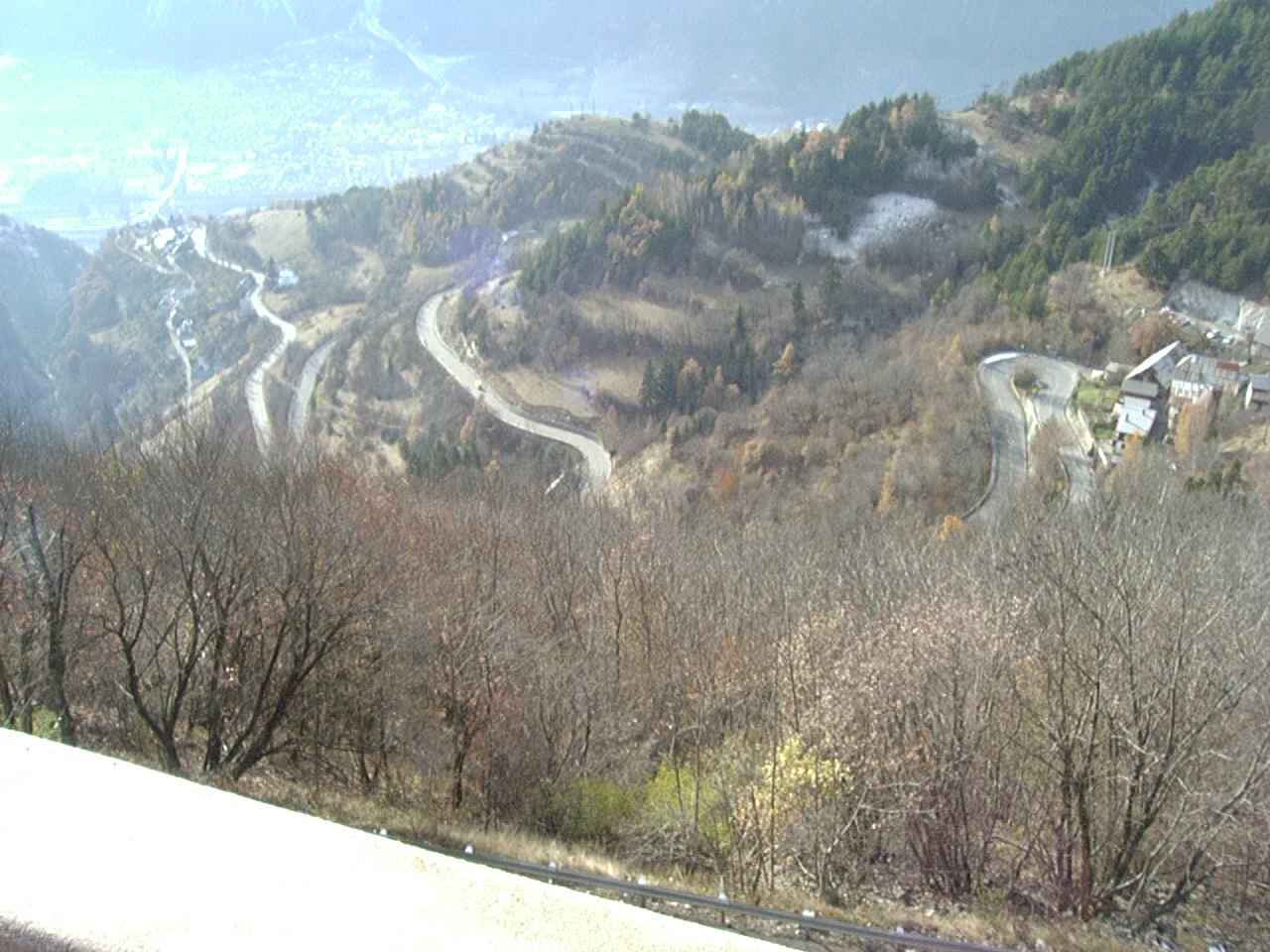
Day73 11/26/2001 Allemont Rhône-Alpes France GPS Track and Map
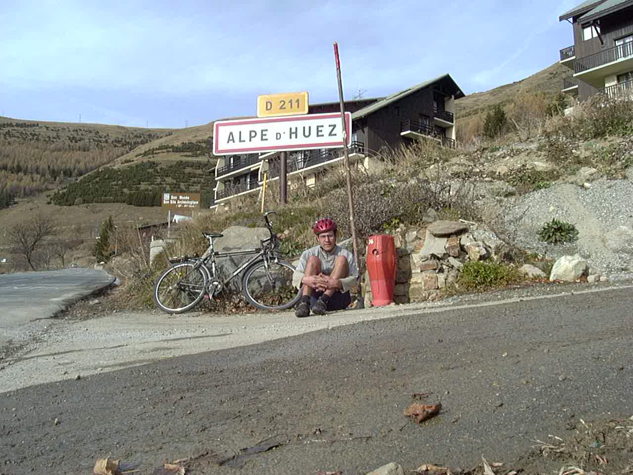
Alpe d’Huez – I made it to the top in 55 minutes on my touring bike (this is not the top). The TDF riders do it in 40 minutes… but they don’t have a 2 pound disk drive digital camera strapped to their racks!
Alpe d’Huez
Alpe d’Huez
Day74 11/27/2001 Le Périer Rhône-Alpes France GPS Track and Map
Loving the French Alps scenery
Day75 11/28/2001 Gap Provence-Alpes-Côte d’Azur France GPS Track and Map
Day76 11/29/2001 Volx Provence-Alpes-Côte d’Azur France GPS Track and Map
Us at Pascal’s apartment in Marseilles.
Day79 12/02/2001 Marseille Provence-Alpes-Côte d’Azur France GPS Track and Map
Pascal rode with us out of Marseilles for a little while
Day80 12/03/2001 Ensuès-la-Redonne Provence-Alpes-Côte d’Azur France GPS Track and Map
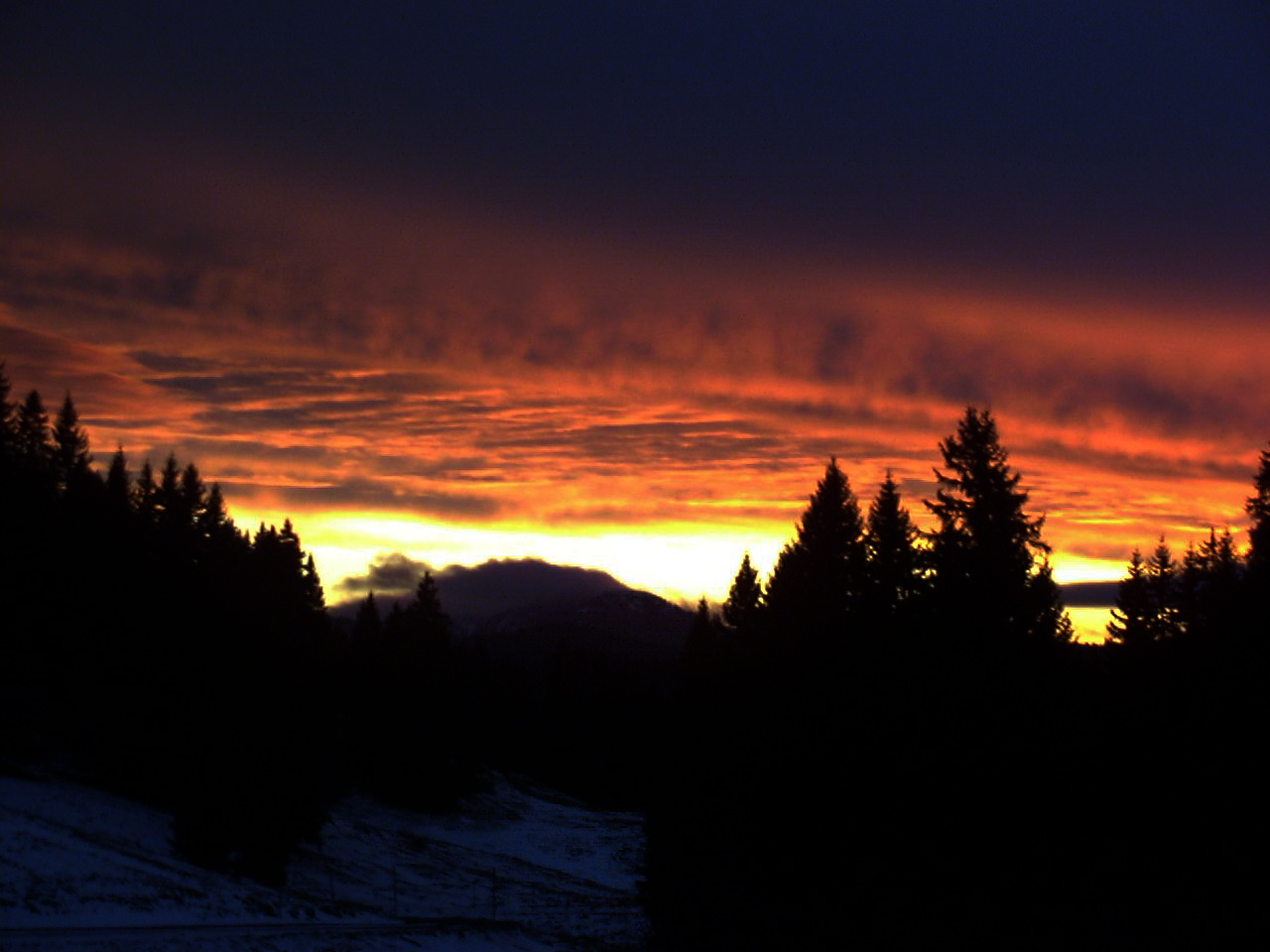
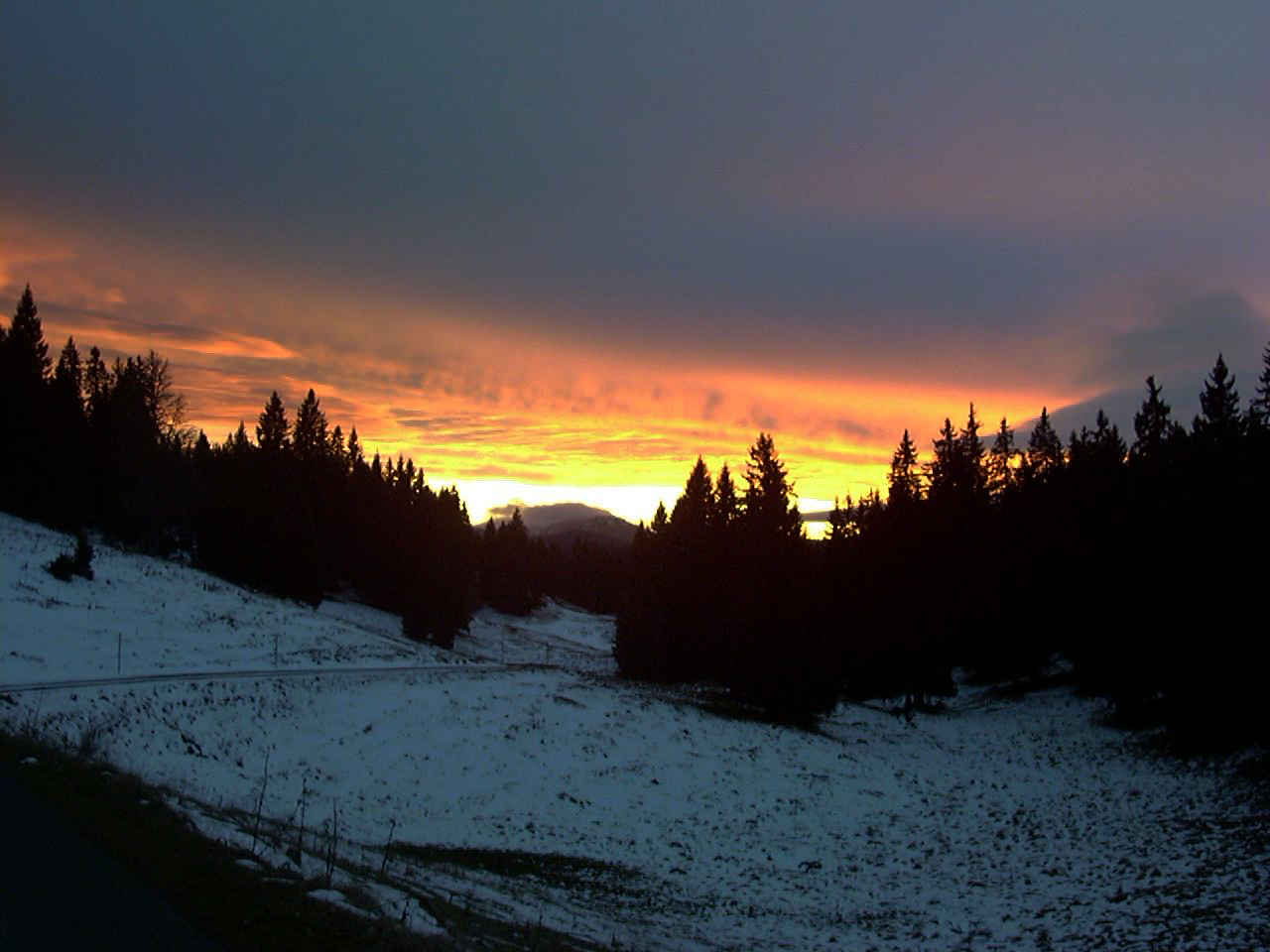
Sunset over the Mediterranean
Day81 12/04/2001 Aigues-Mortes Languedoc-Roussillon France GPS Track and Map
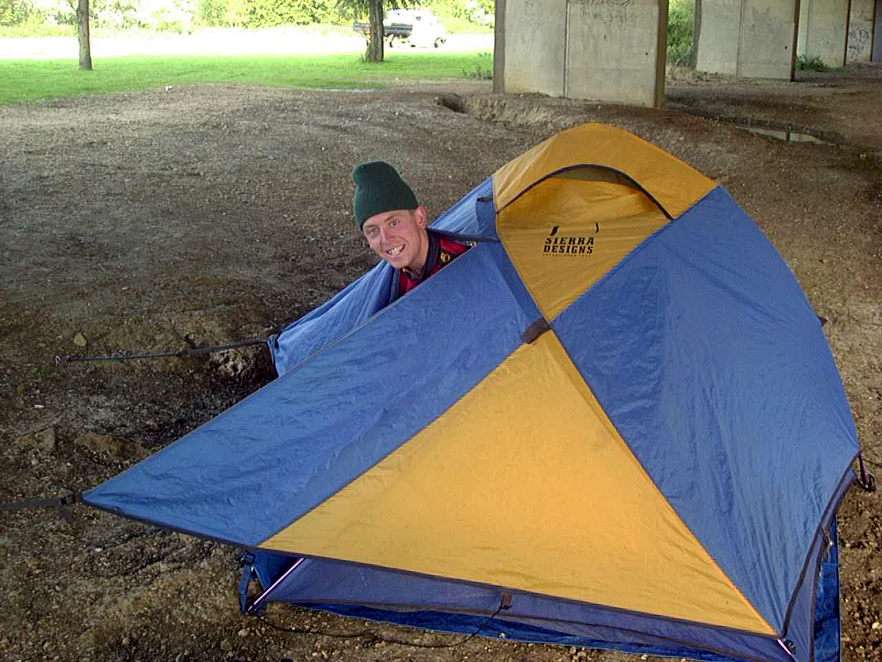
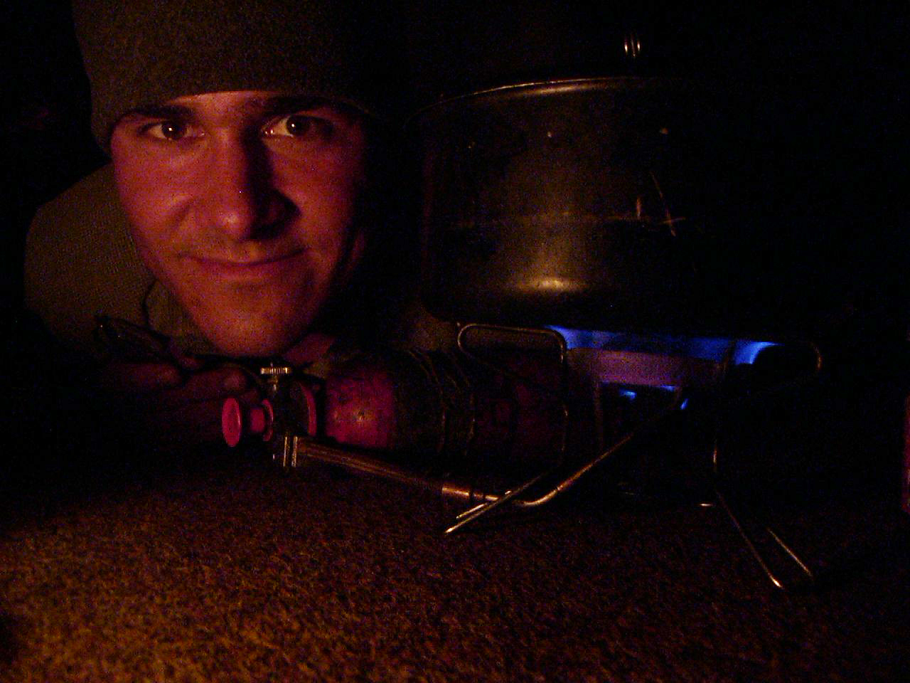
Drying the sleeping bag under one of our shelters.
Day82 12/05/2001 Agde Languedoc-Roussillon France GPS Track and Map
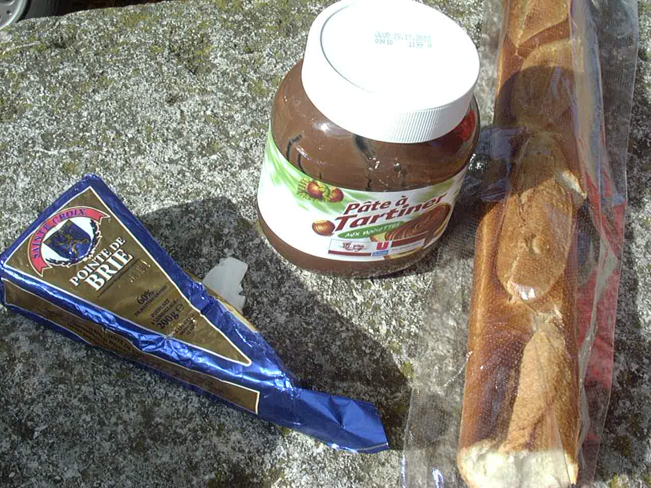
This is basically what we ate every day in France
Day83 12/06/2001 Bizanet Languedoc-Roussillon France GPS Track and Map
Day84 12/07/2001 Quillan Languedoc-Roussillon France GPS Track and Map
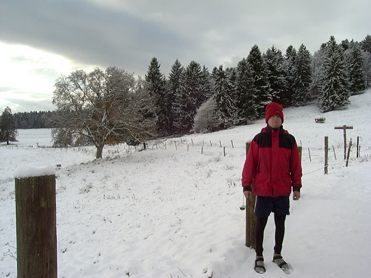
Look – we’re wearing shorts! It was below freezing most of the trip, so this was a wonderful day!
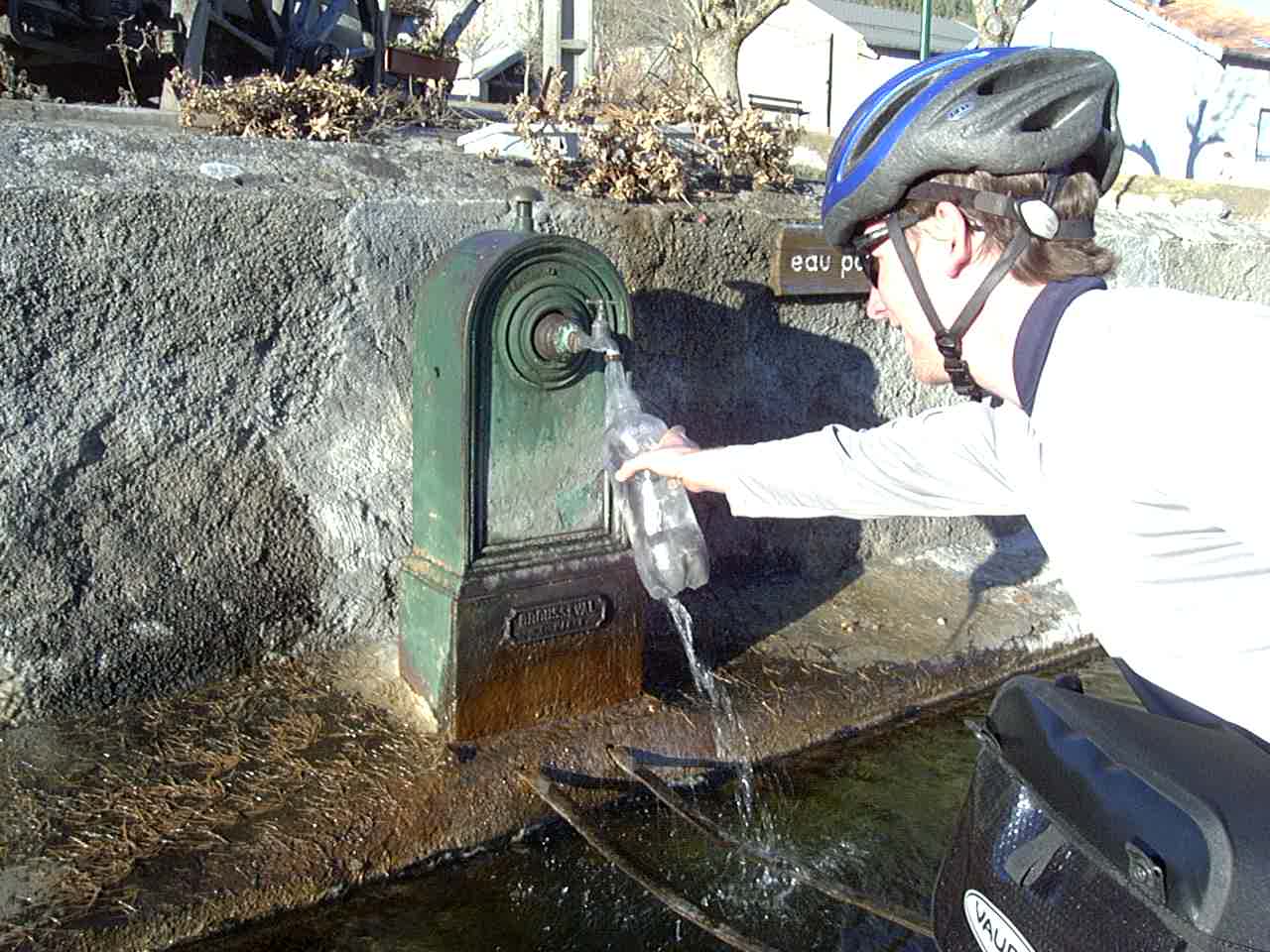
Eau potable. Yum.
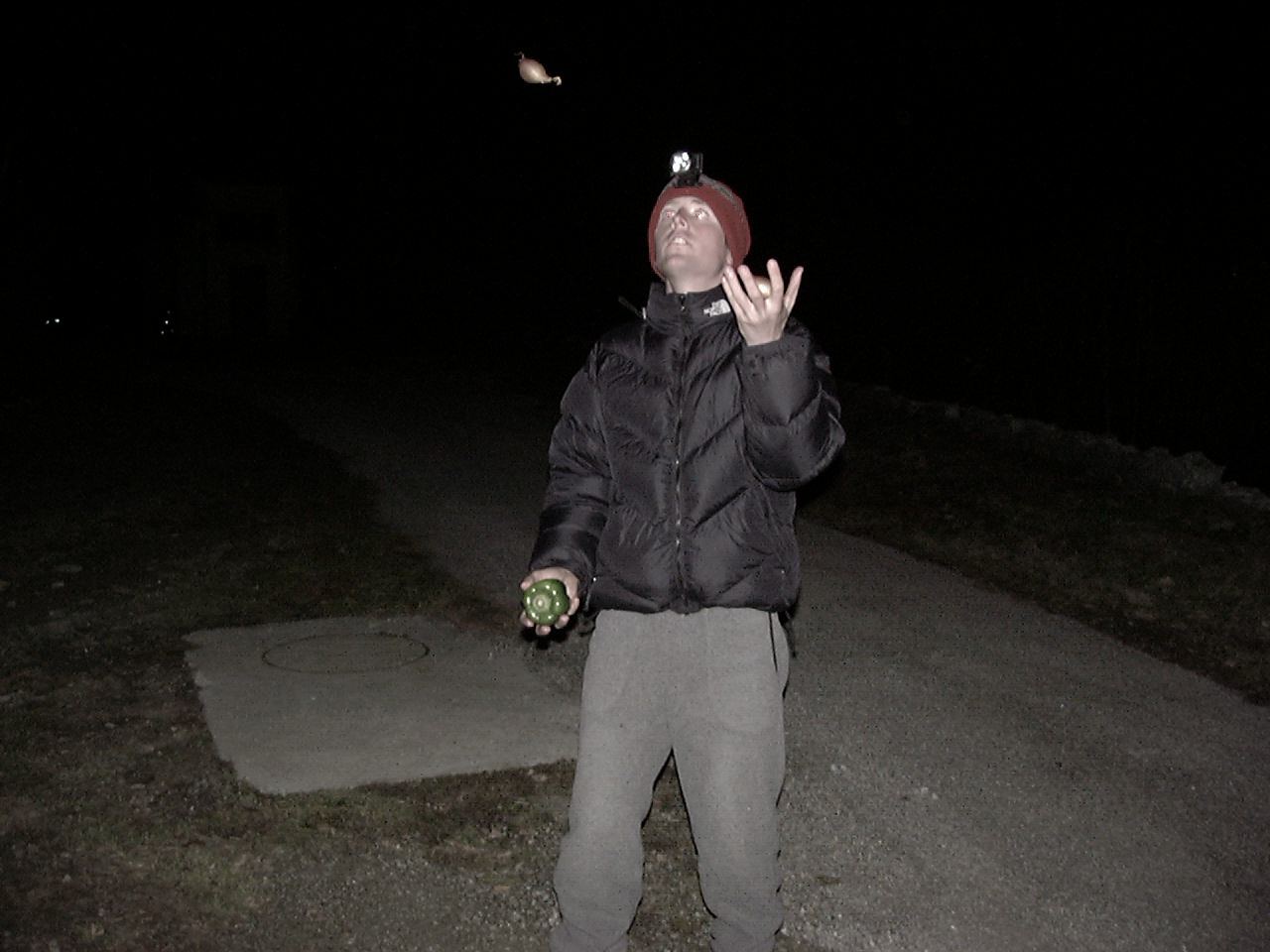
Dennis is a good juggler
We were camped out in France, and this guy comes along. He tried to talk to us in French, but didn’t understand much of our French – even when I wrote it down!
Day85 12/08/2001 Savignac-les-Ormeaux Midi-Pyrénées France GPS Track and Map
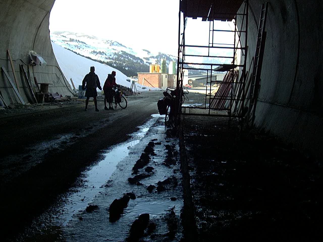
The tunnel from Spain to Andorra was still being built. I saw a hole in the mountain, and a winding road going up over the hill. I said to Dennis, “I bet that hole in the mountain is a tunnel. We checked it out and rode in the dark for a couple miles – saved a big climb over the hill!
Entering Spain from Andorra
Day86 12/09/2001 Catalunya Spain GPS Track and Map
Day87 12/10/2001 Ponts Catalunya Spain GPS Track and Map
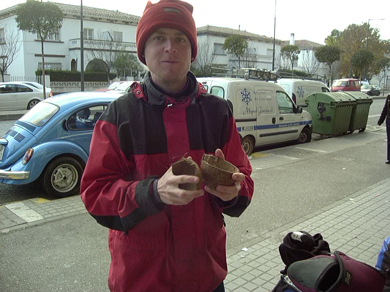
Coconuts? In Mercea? Well, this isn’t Mercea.
Day88 12/11/2001 Alcarràs Catalunya Spain GPS Track and Map
Day89 12/12/2001 Caspe Aragón Spain GPS Track and Map
Day90 12/13/2001 Castel de Cabra Aragón Spain GPS Track and Map
Day91 12/14/2001 El Pobo de Dueñas Castilla-La Mancha Spain GPS Track and Map
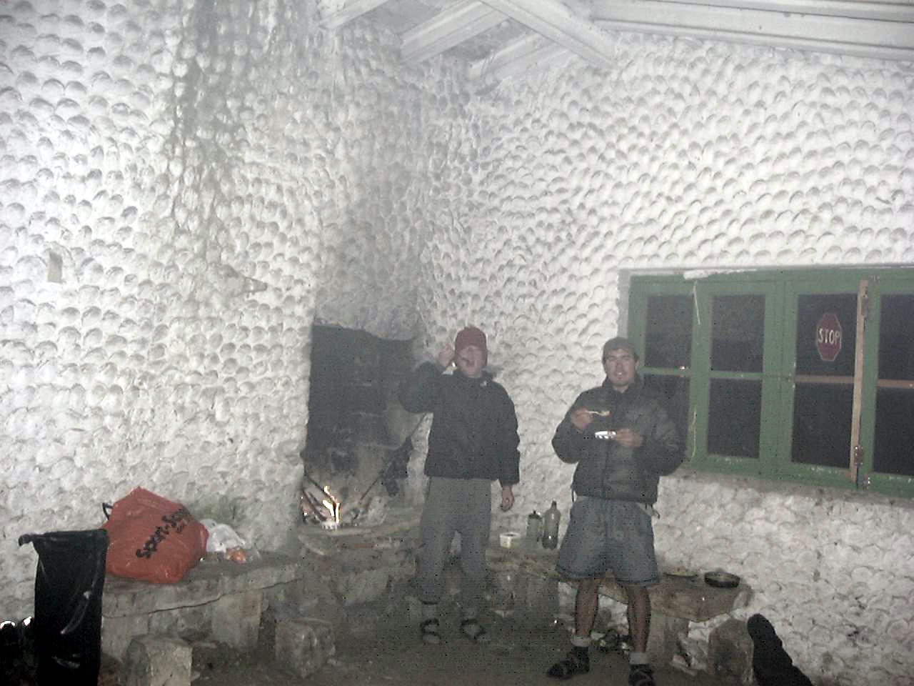
We found this abandoned stone hut in time for a freezing night.
Day92 12/15/2001 Villanueva de Alcorón Castilla-La Mancha Spain GPS Track and Map
Day93 12/16/2001 Guadalajara Castilla-La Mancha Spain GPS Track and Map
It looks warm, but it was below freezing all day long. In fact, on this day, to the North of us in Spain, people were stranded in their cars on the freeway – some of them froze to death because they could not drive anywhere.
Day94 12/17/2001 Madrid Comunidad de Madrid Spain GPS Track and Map
Day95 12/18/2001 Orgaz Castilla-La Mancha Spain GPS Track and Map
Day96 12/19/2001 Brazatortas Castilla-La Mancha Spain GPS Track and Map
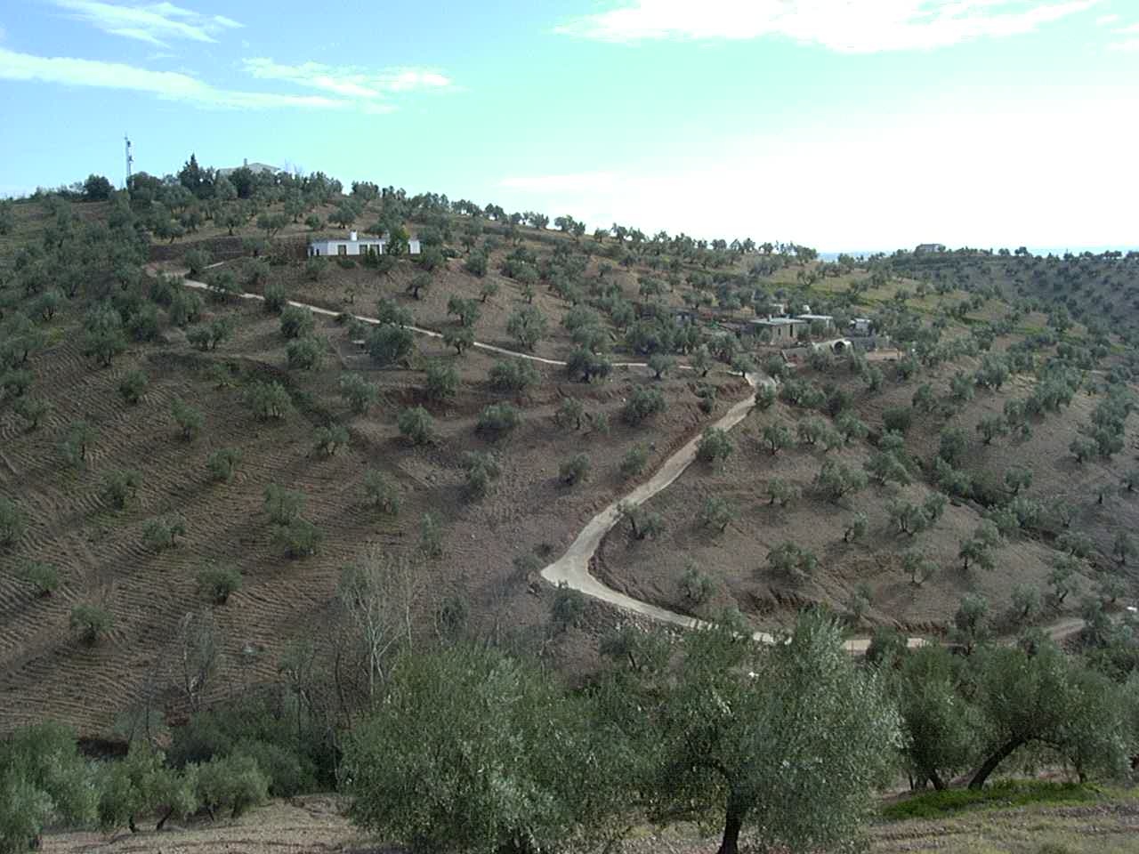
Olive trees in Spain
Day97 12/20/2001 Montilla Andalucía Spain GPS Track and Map
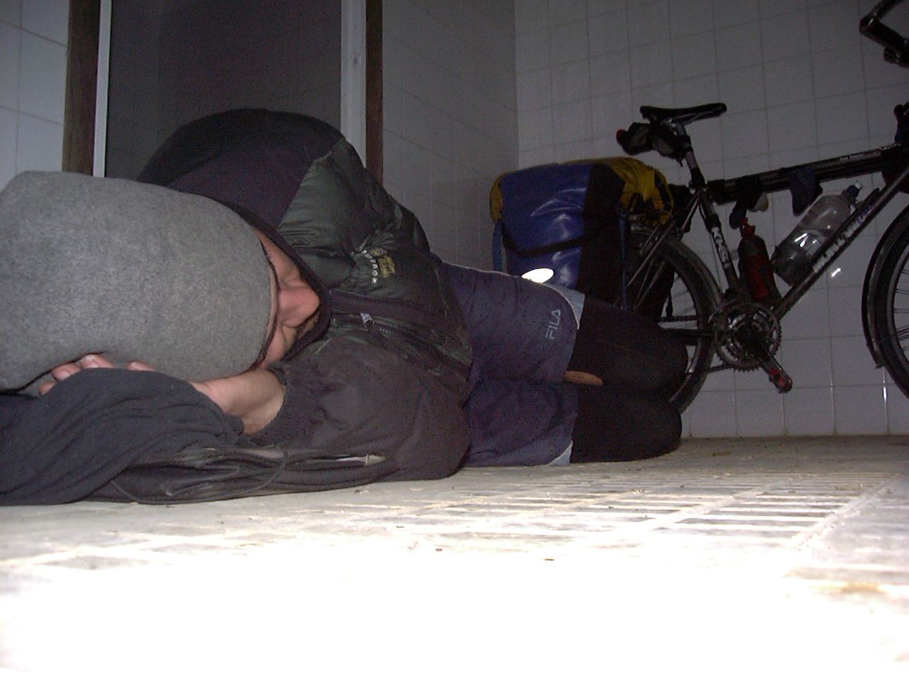
Me sleeping on a bathroom floor. Not one of my better nights.
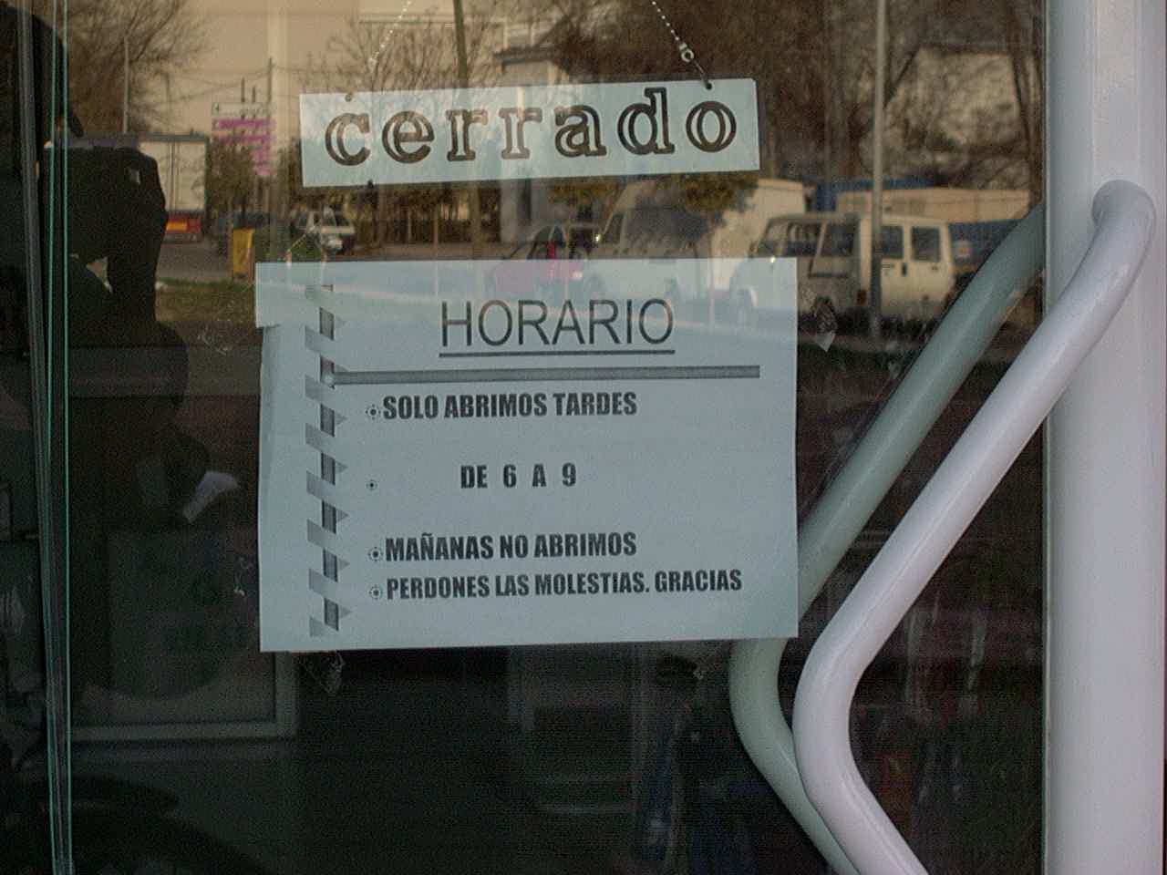
In Spain, places are closed a lot of the time!
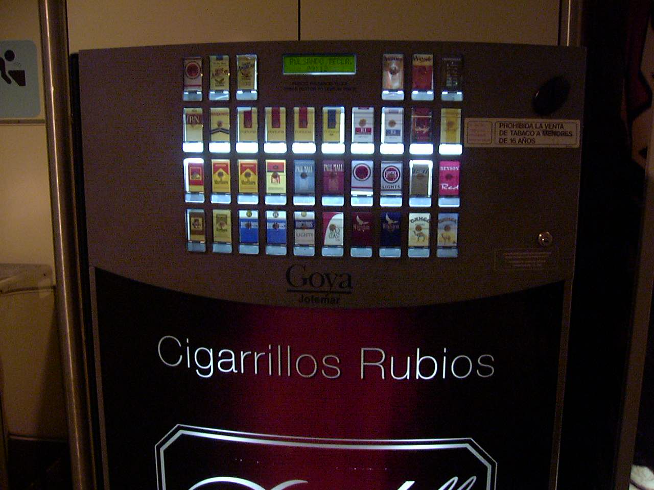
In Spain, anyone can buy cigarettes from a vending machine.


I had a numb, weird feeling, calf muscle for about 8 months after I kept ice on it for too long after a race. Basically I freezer burned my muscle I guess. All good now.
Wishing you had had warmer weather.
Love the Sierra Nevada jersey.
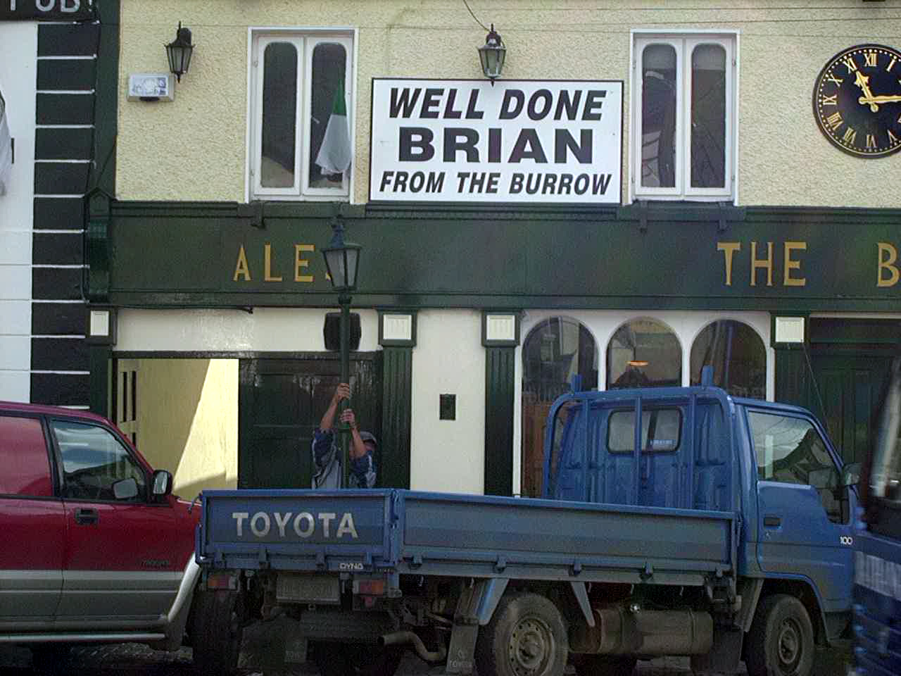
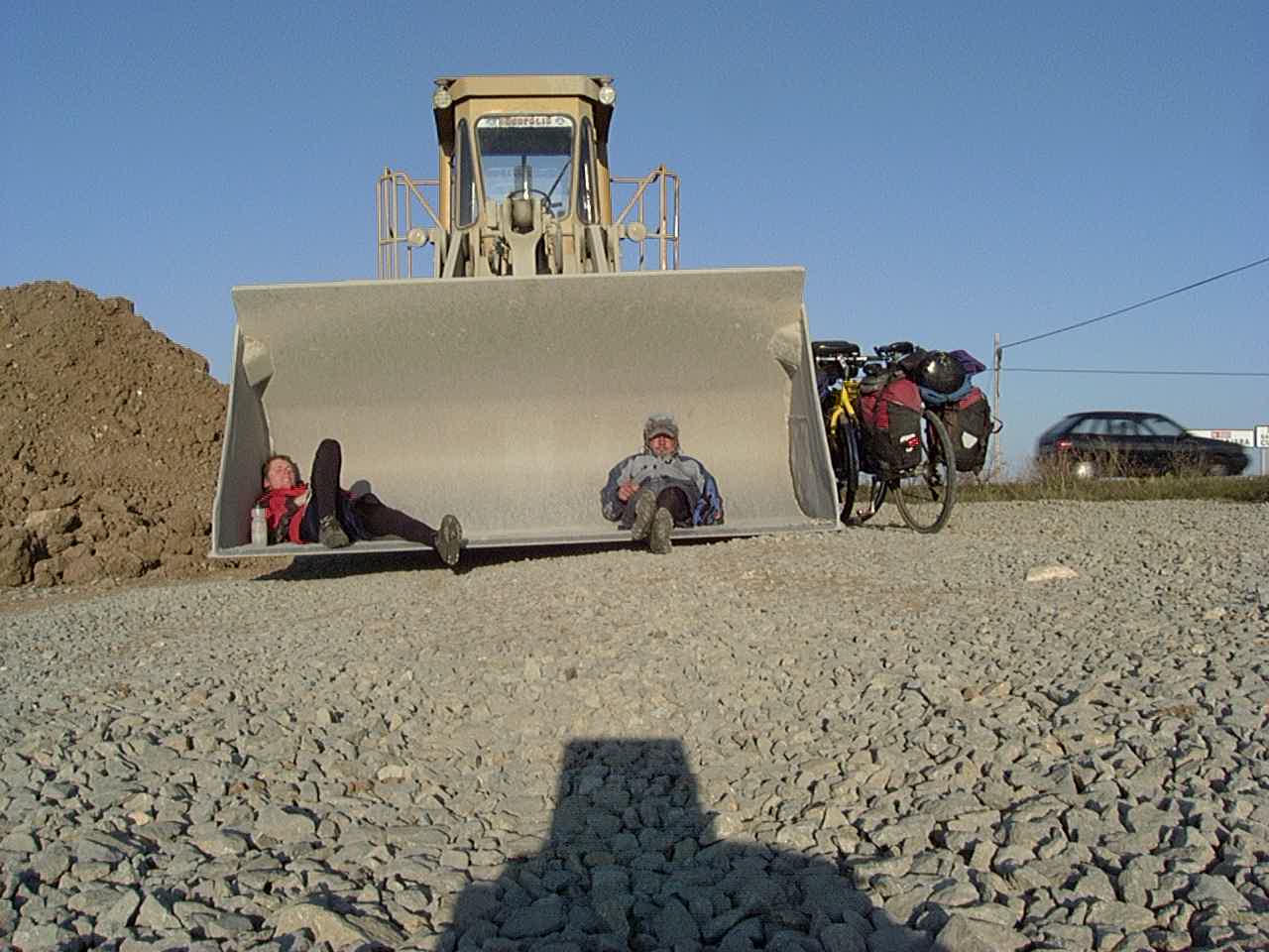
That Toyota Truck has a Loooong Bed.
I hope the dog made it back home.
I use to have those round glasses.
Love the geometry in Donegal.
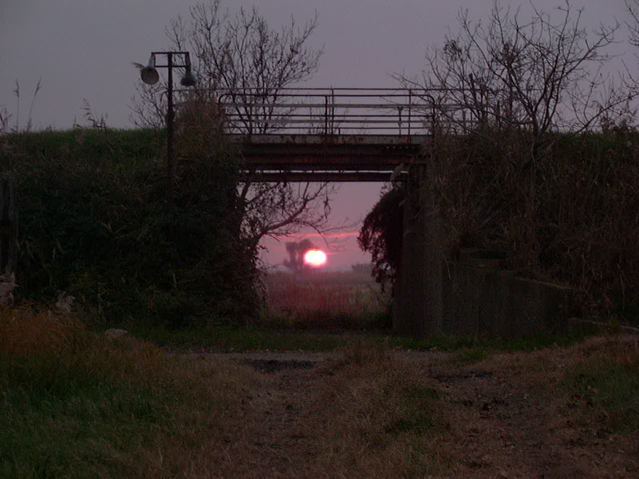
Low Angle light means a VERY long sunset/rise.
And FartLek means speed play.
In Luxembourg I slept behind the police station.
Numbness was “cold burn” I had it for 6 months once.
55 Alp D’Huez is AWESOME!!
Brie, Nutella, and Bread – That is all you need.
C-O-L-D here is the link to the Cold Snap Tragedy
http://goo.gl/1FR1PW
and
http://goo.gl/Zr9WKQ