Machesna Mountain Wilderness
Machesna Mountain Wilderness offers some beautiful terrain in San Luis Obispo County. This wilderness borders Garcia Wilderness and is part of the Los Padres National Forest. If there weren’t slices of private land in between the wildernesses, it would be feasible to link together a 50 mile route linking Machesna Mountain Wilderness, Garcia Wilderness, and the Santa Lucia Wilderness. As it sits 99% of such route is on public land.
During most of the year, access to the Machesna Mountain Wilderness can only be gained from the Chester Springs Entrance. This access is a 4WD road, though only the last 1.5 miles up Pine Mountain Road require 4WD. The other access point is via Avenales Ranch Road. This access is more convenient and less rugged, but it is limited to six weeks a year (normally August/September), during rifle deer season. The trail can be reached by taking Highway 58 to Pozo Road. Follow Pozo Road past Pozo, to Avenales Road. Turn right, and travel 7 miles to the sign for American Canyon Campground. Turn left, the campground is 1.2 miles beyond this point. The Wilderness trailhead is located at the upper end of the campground.
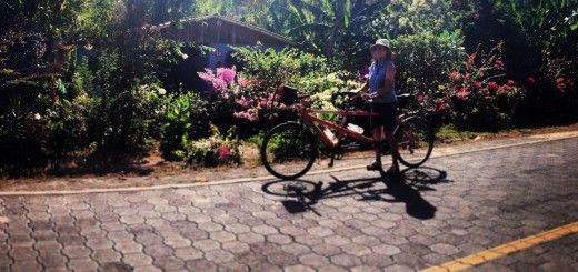
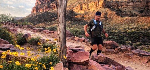
Running these trails was sublime – every bit was runnable. I didn’t see anyone (except Janet) along the way.
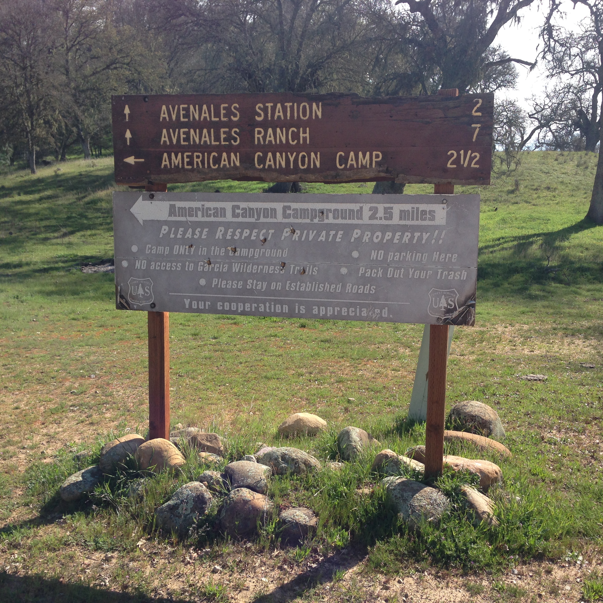
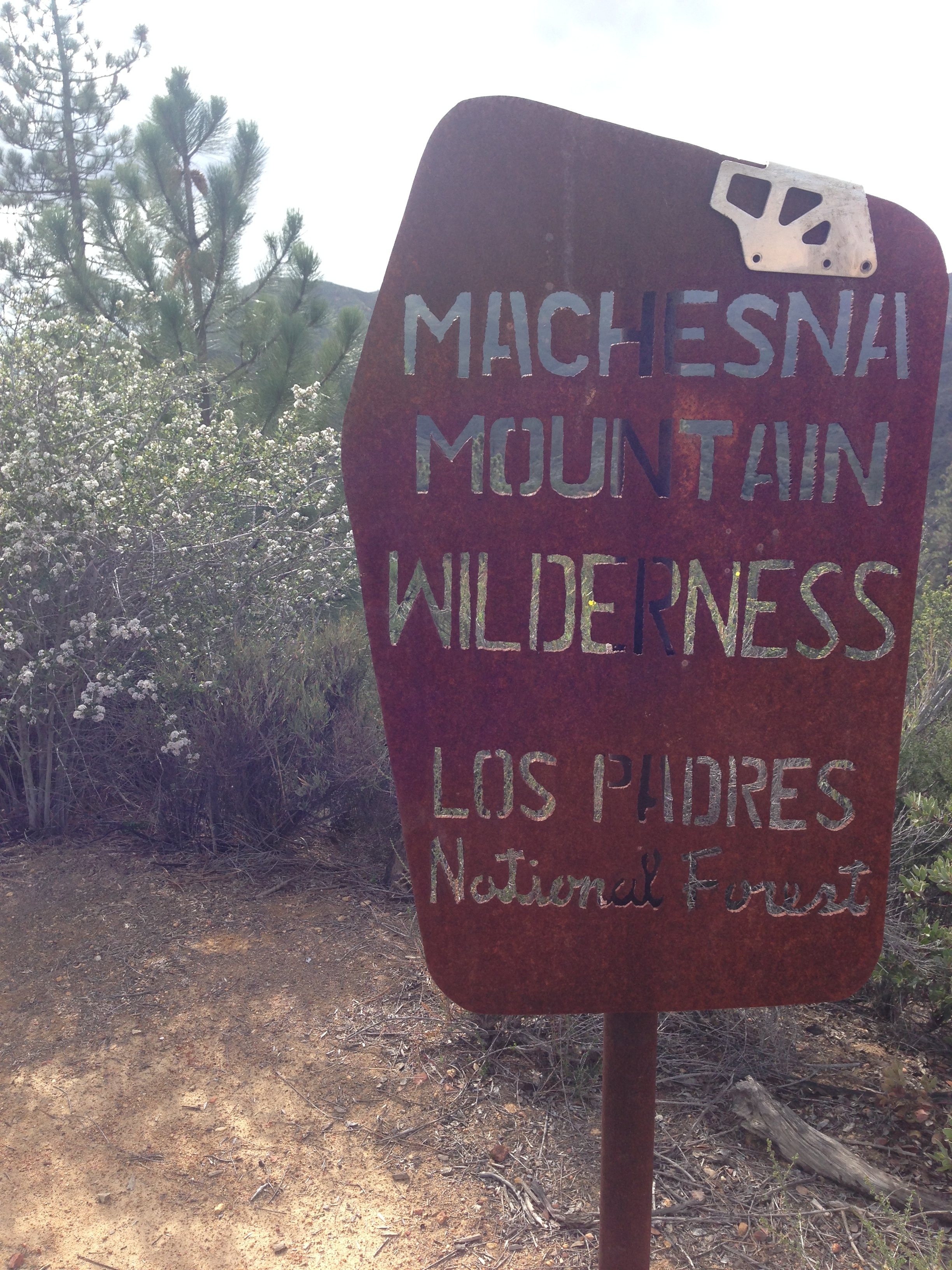
Sign at the bottom of American Canyon
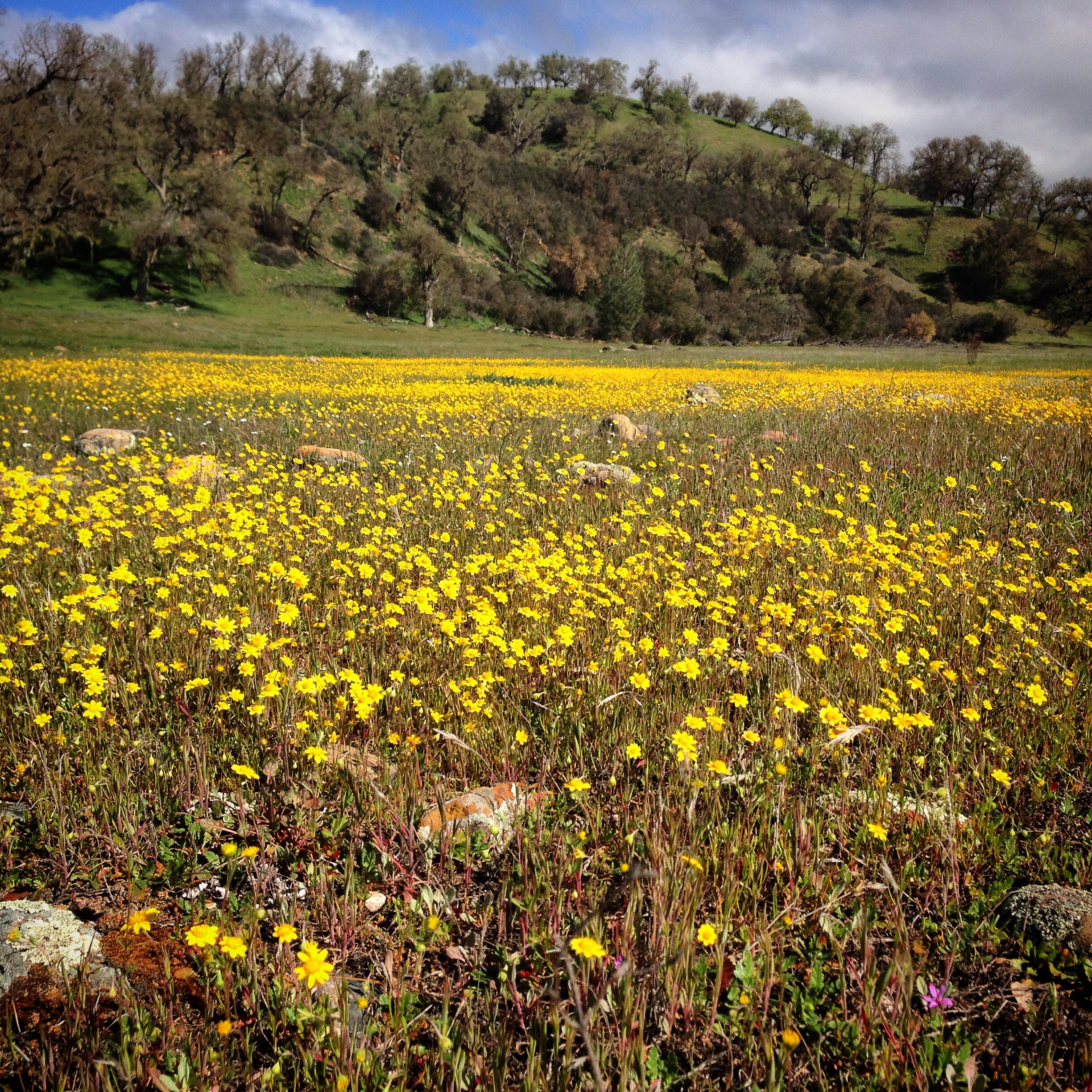
Goldfields (flowers)
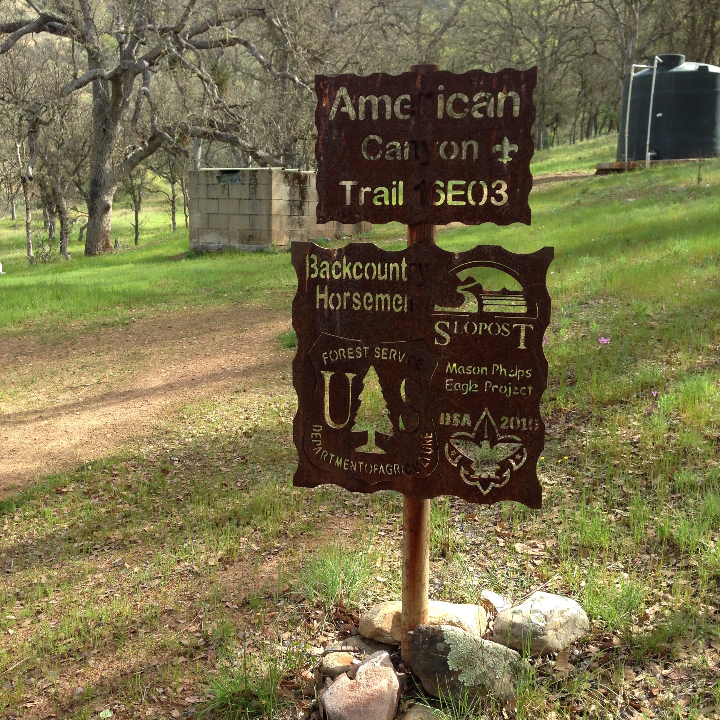
American Canyon Campground. Open during Deer Season: Approx Mid August to Mid September.
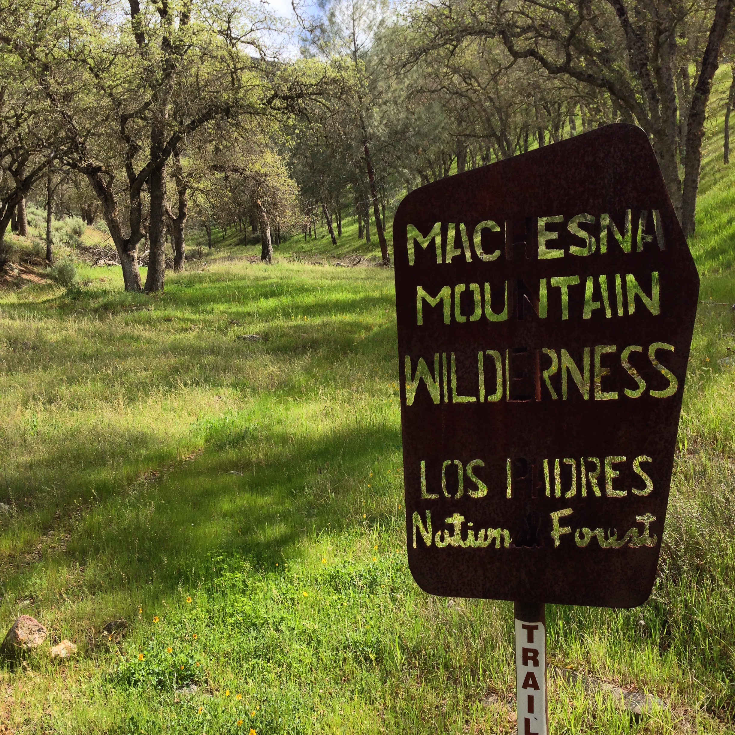
Entering the Machesna Mountain Wilderness from American Canyon Campground.
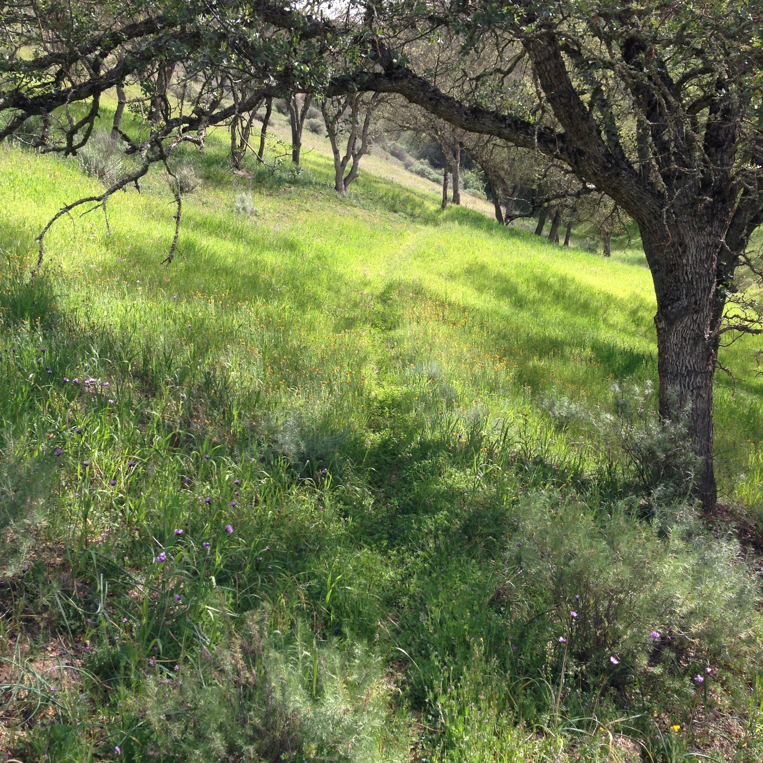
The lower portion of the trail near the campground is overgrown with grass, but not badly.
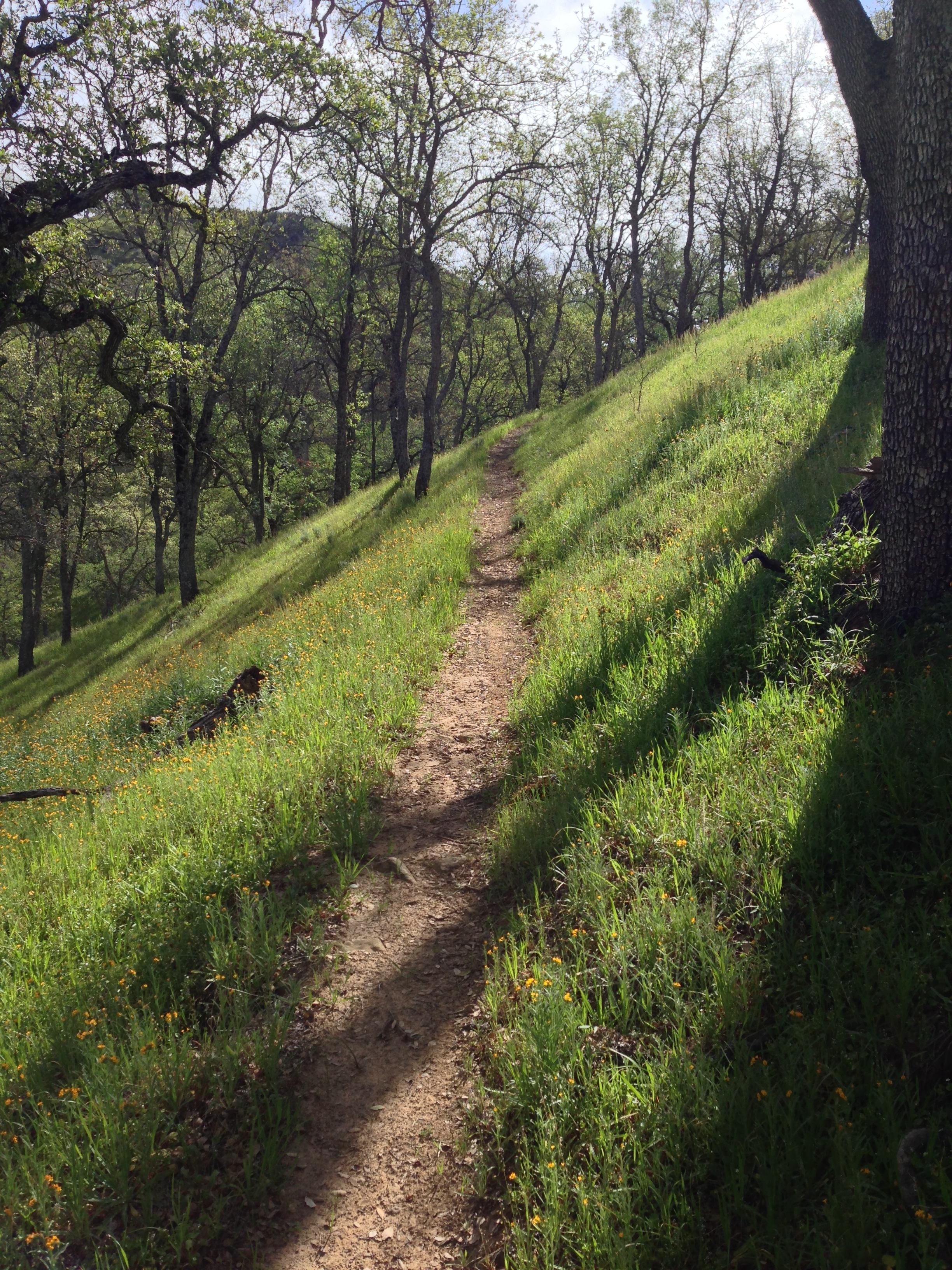
The Trail improves as you gain elevation.

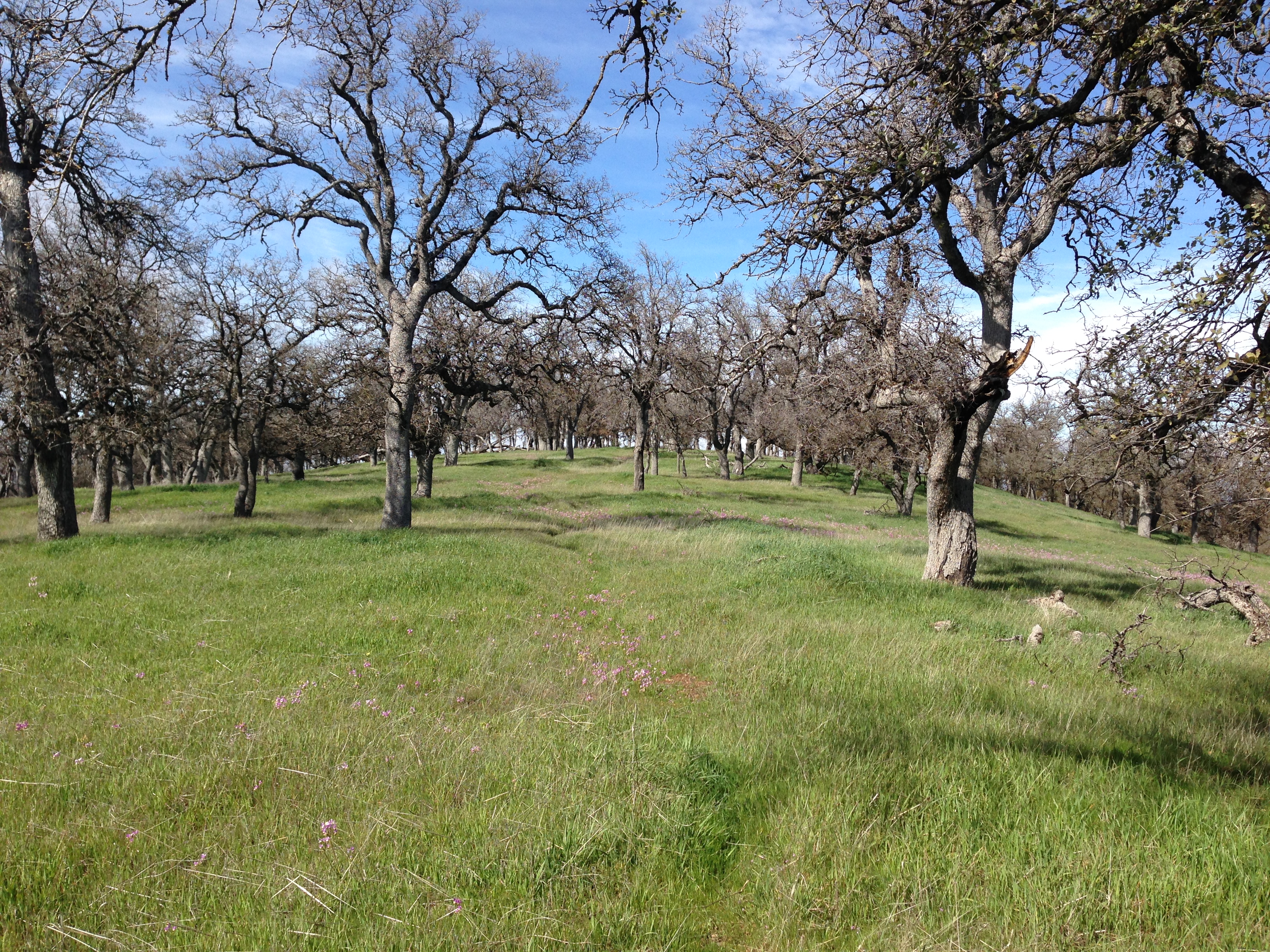
American Canyon Trail.
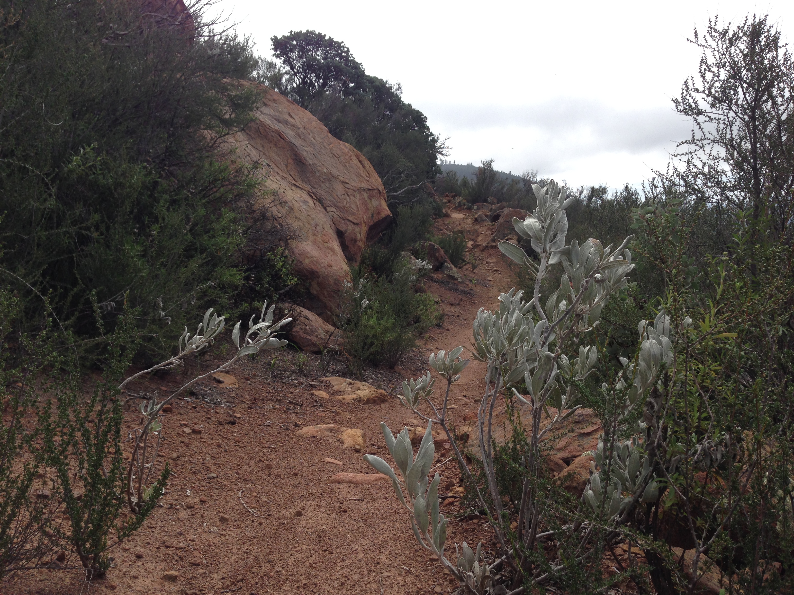
American Canyon Trail. As you gain elevation, it changes from Oak Woodland to Chaparral.
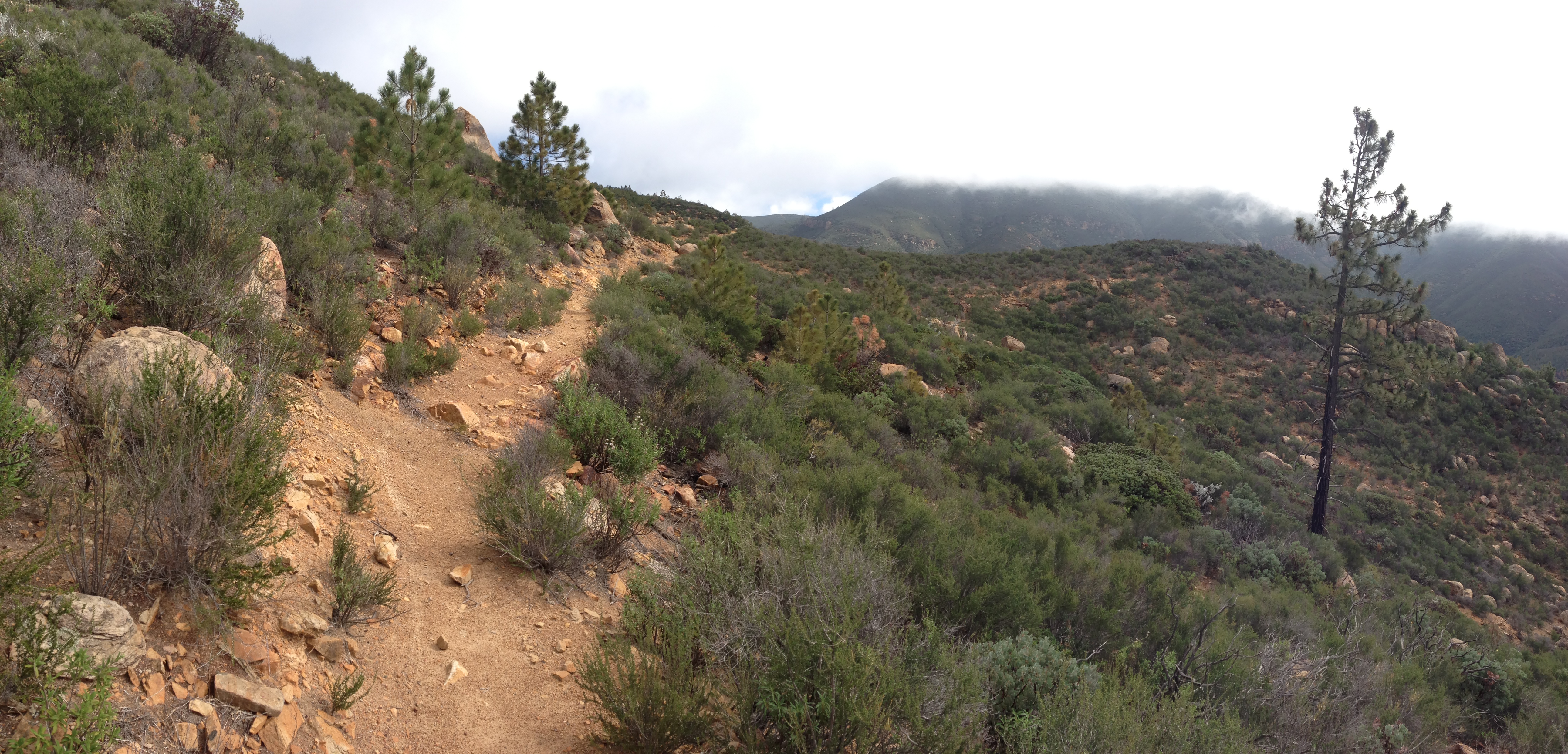
American Canyon Trail. As you gain elevation, it changes from Oak Woodland to Chaparral.
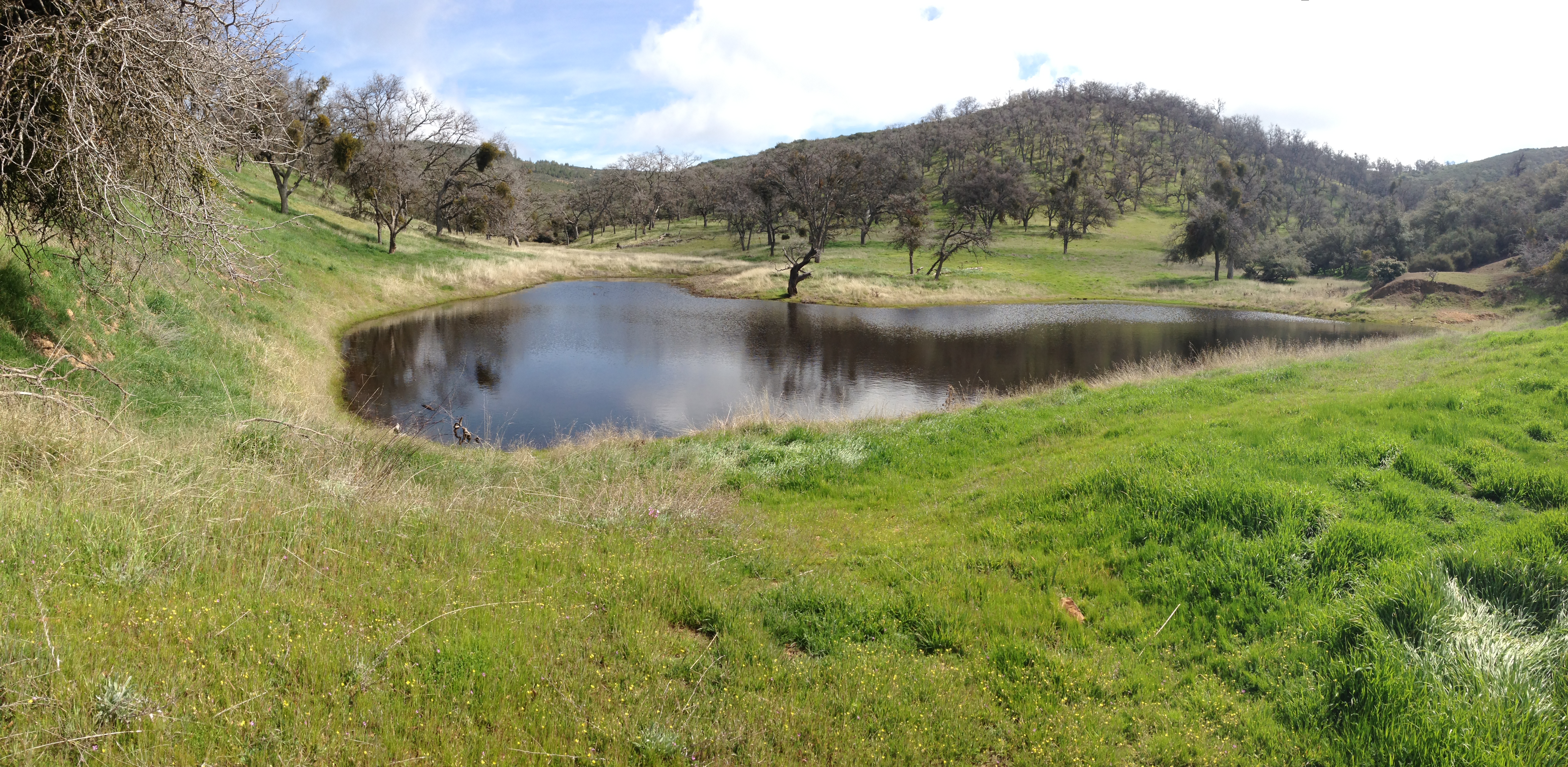
Unnamed pond at 3,794′
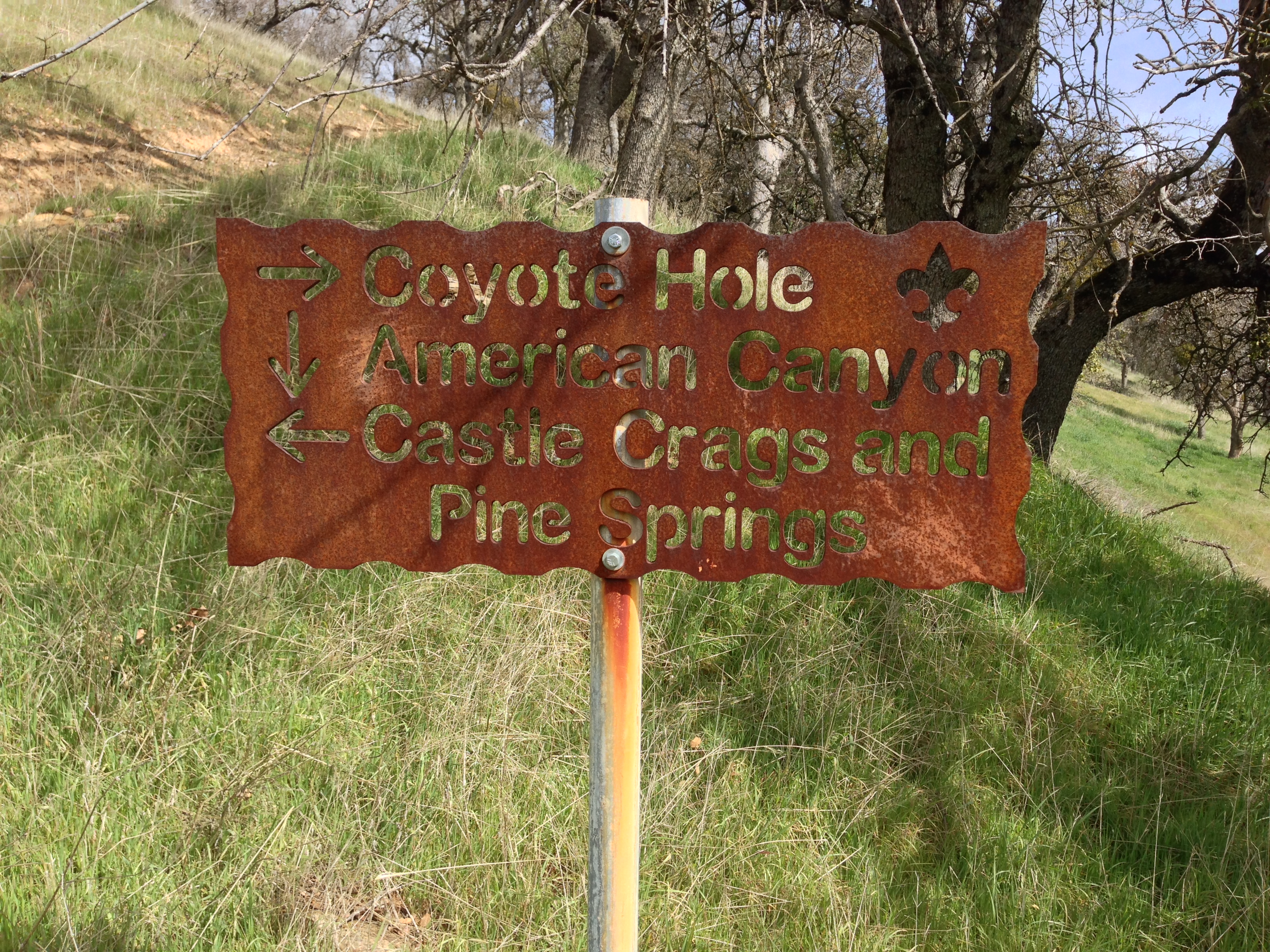
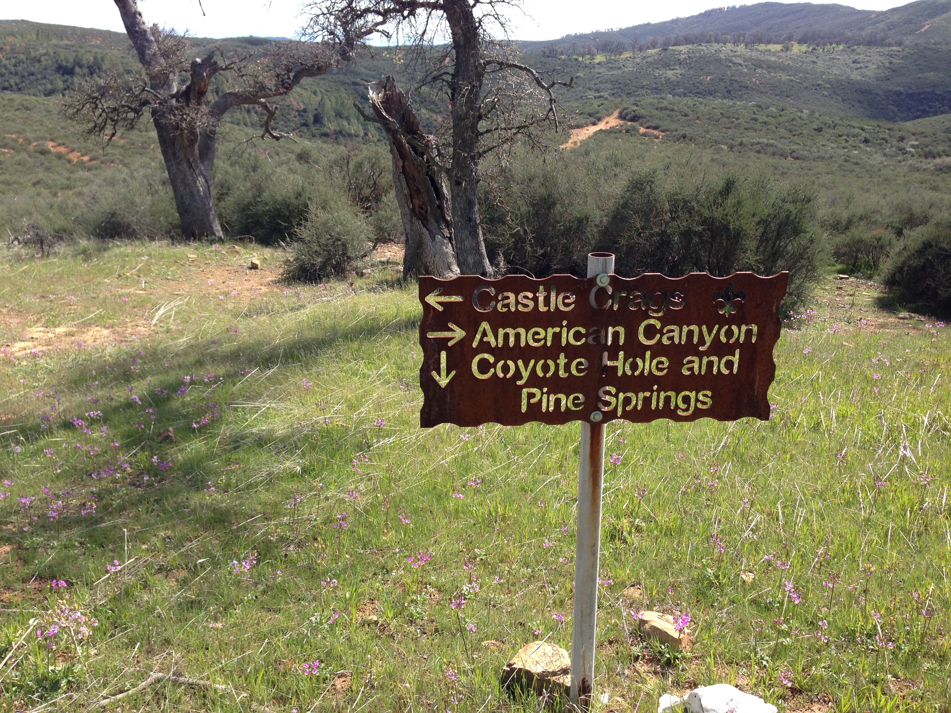
Coyote Hole, American Canyon, Castle Crags, Pine Springs
Coyote Hole, American Canyon, Castle Crags, Pine Springs
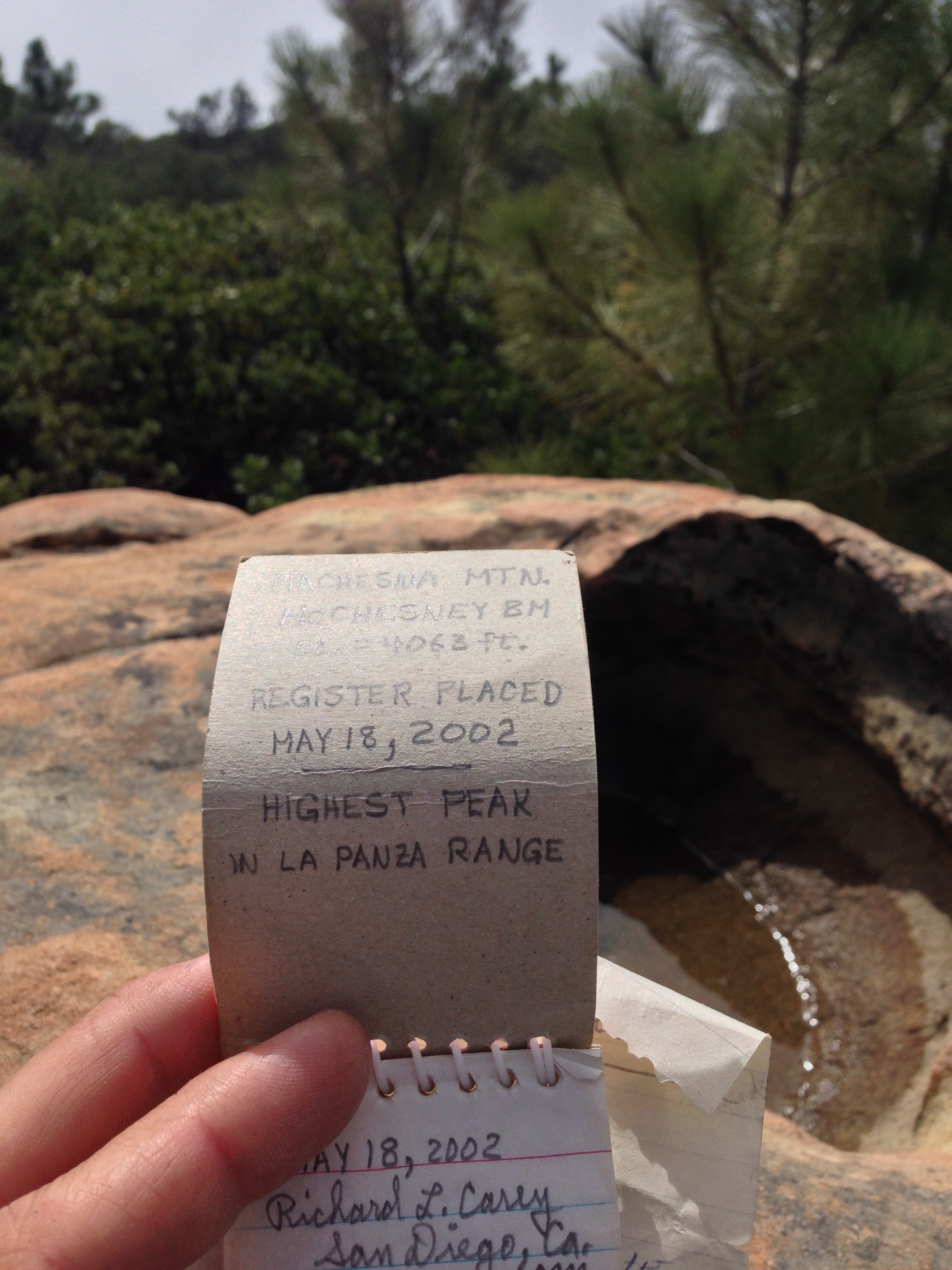
The register at the top of Machesna Mountain. At 4,063′, it is the highest peak in the La Panza Range
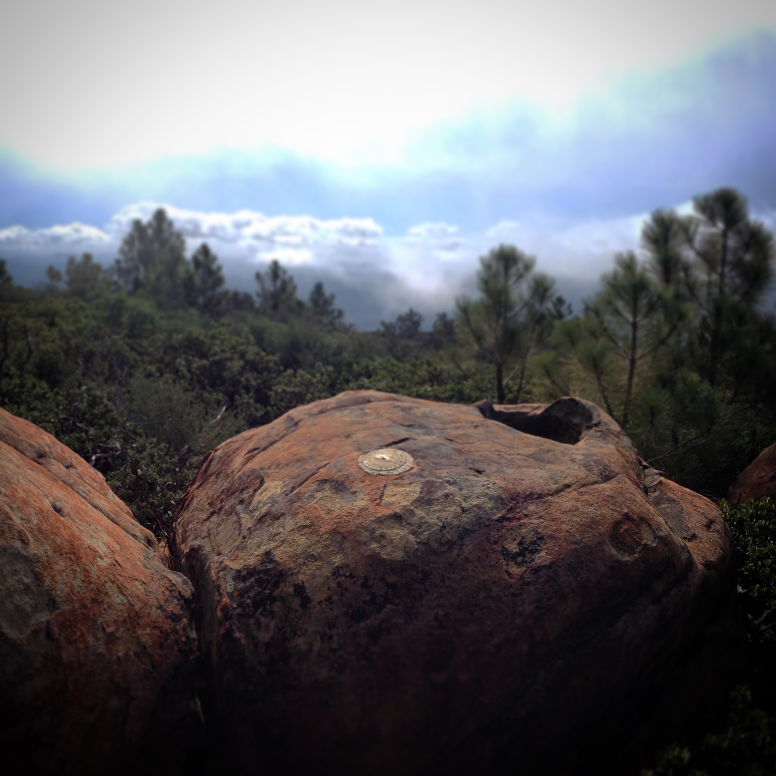
View from the summit of Machesna Mountain.
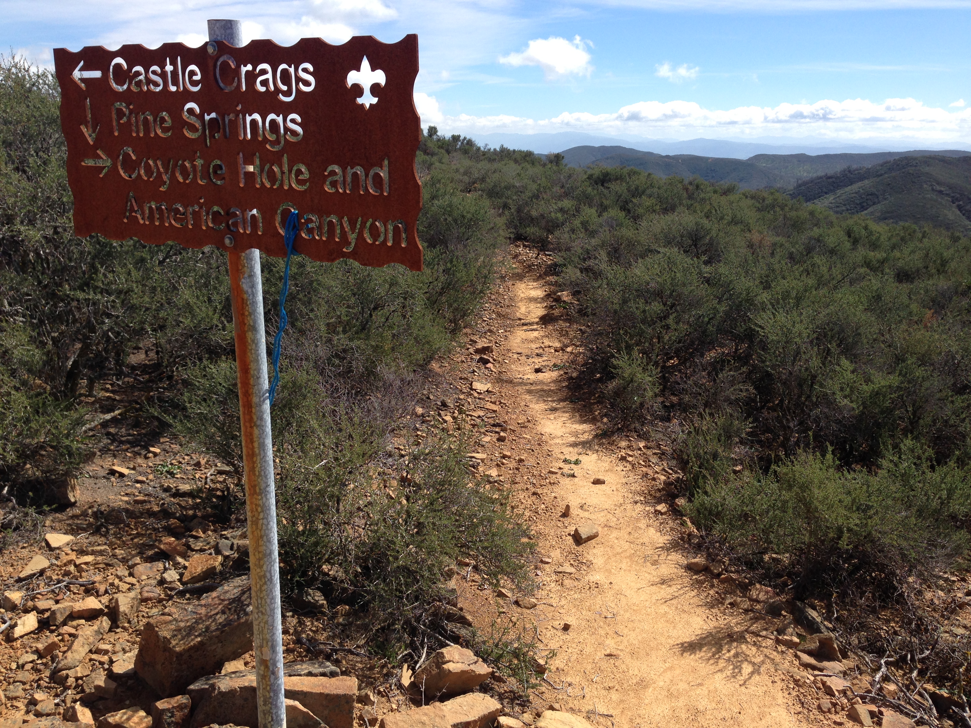
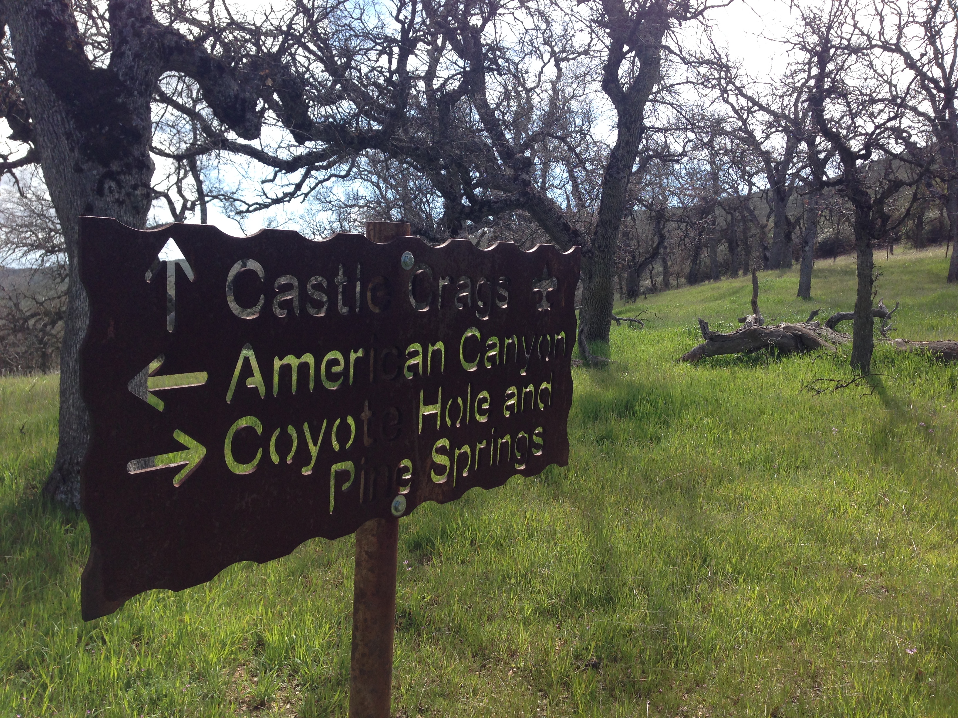
Coyote Hole, American Canyon, Castle Crags, Pine Springs
Coyote Hole, American Canyon, Castle Crags, Pine Springs
The trail along pine ridge starts as a single track, eventually turns to double track, and then appears to be a fire road (though it would be closed to cars, as it is in the wilderness).
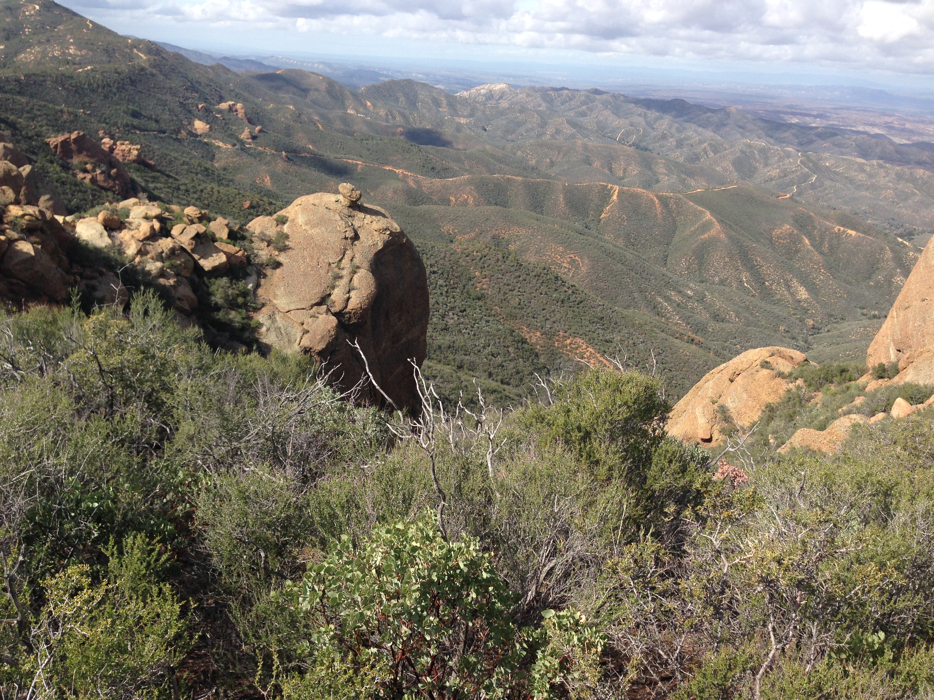
Rocks near Castle Crags
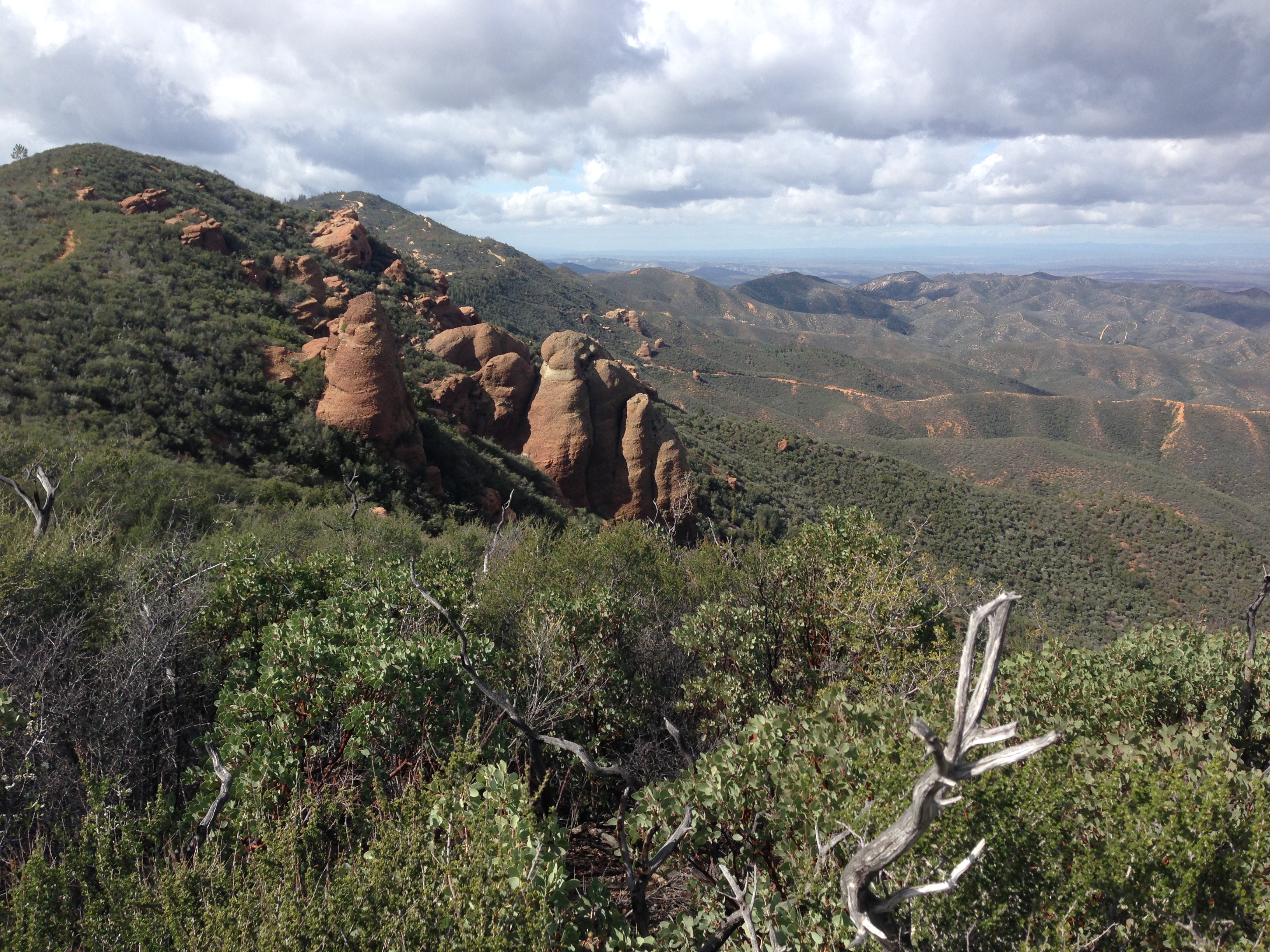
Rocks near Castle Crags
Entering Machesna Mountain Wilderness on the Pine Ridge side (Pozo Summit Side).


Enticing! Would be nice to see long/lat or map flag for the pix. Trying to check out your route on Google Earth, and how I’d try to get to Machesna Mtn. from La Panza campground, which looks the most friendly for October.