Lost Coast Run – Matole Beach to Shelter Cove
I had wanted to backpack the Lost Coast Trail for a long time. I assumed it would be a very remote wilderness experience. To my surprise, it was largely the opposite! I never went more than about 25 minutes without seeing another person, and I started pressing the lap button on my GPS to record the number of people I saw: over 100 in 26 miles! In spite of this surprise, the route is very much worth doing. I am very glad that I did it as a run as opposed to a backpack. My preference is solitude and wilderness for backpacking, which this trip does not seem to offer. Also, the humid, dank conditions on the coast mean that you’re likely going to be carrying a wet tent in your bag.
The route is great for a run, and can be done as a P2P if you have a shuttle, or as an out-and-back if you have adequate endurance for an over 50 mile run. On the North end, there are superb tide pools. The terrain is pretty runnable because it is flat, though you will have significant slowing due to the sand/rocks (and maybe climbing). The tide needs to be 3′ or lower in order to pass through. There are a couple sections where the 3′ rule is almost mandatory, but I think you could squeeze by with slightly higher water. My recommendation is to plan on going when the tide is below 3′. This is another reason why the route lends itself well to running as opposed to backpacking. There is one section where you are advised to go inland, but it only takes about 15 or 20 minutes to scramble over the large boulders. There are two ~4 mile sections (the first one is right after the Punta Gorda Lighthouse, the second is after Big Flat Creek) where you are advised to avoid at tides less than 3 feet. If you’re backpacking, you’ll need to plan your timing for both sections, but if you’re running, you would probably want the lowest tide to occur smack dab in the middle of your route.
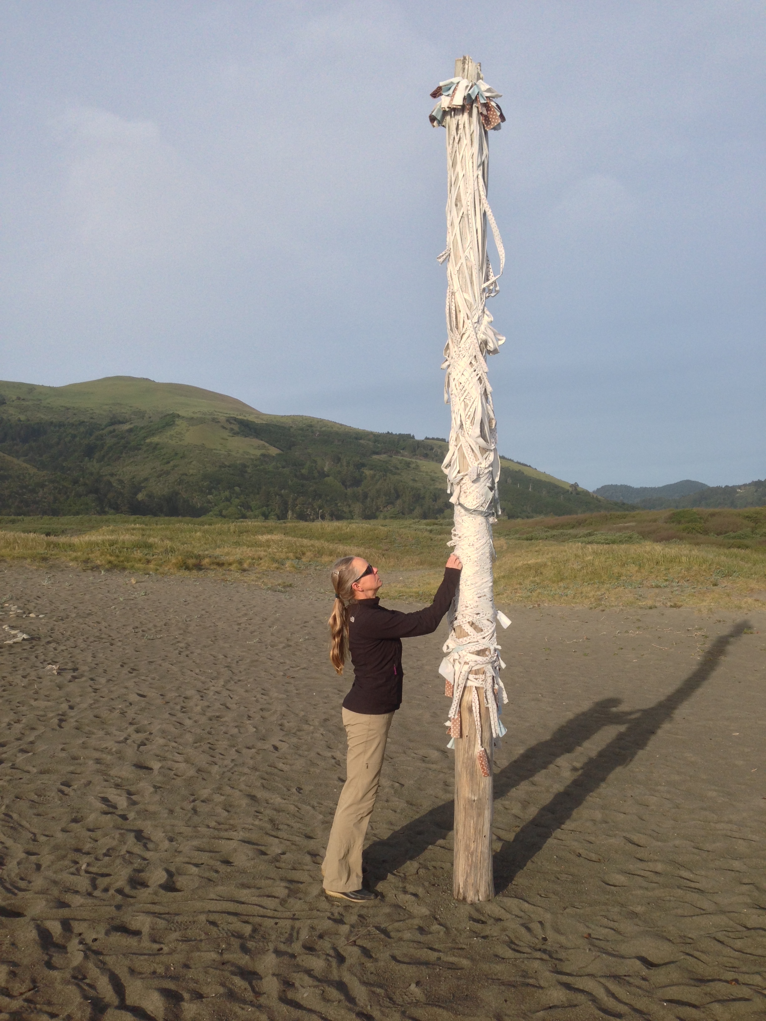
Some beach art at Mattole beach
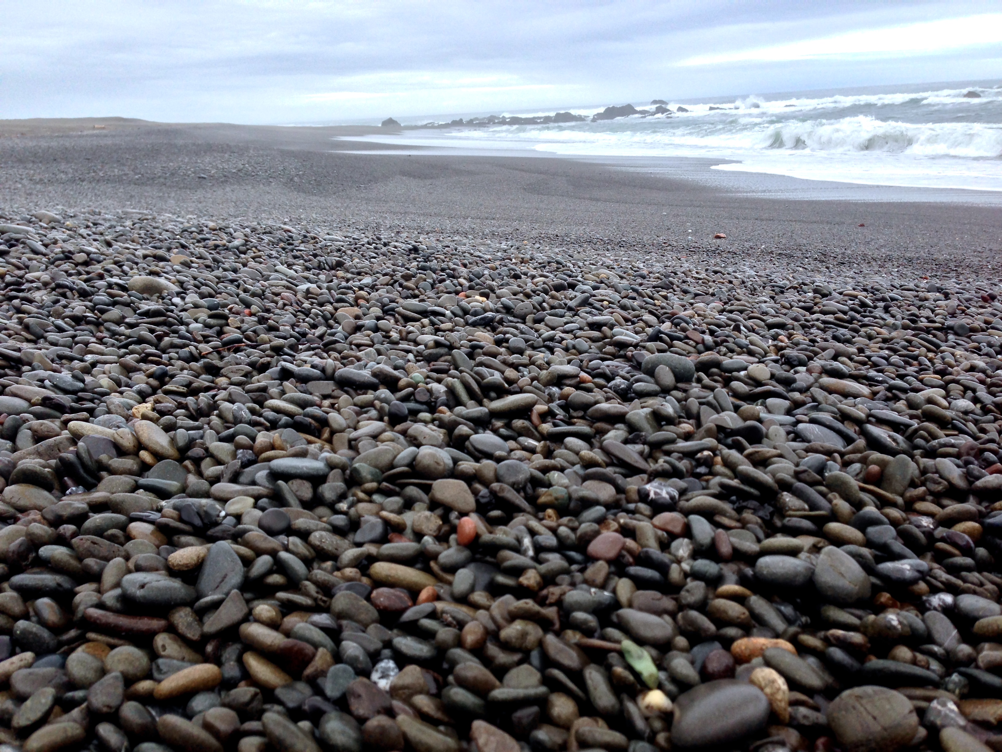
Running on this kind of terrain can be very slow going – but the loose rocks make for a good cushion, and you don’t feel much impact.
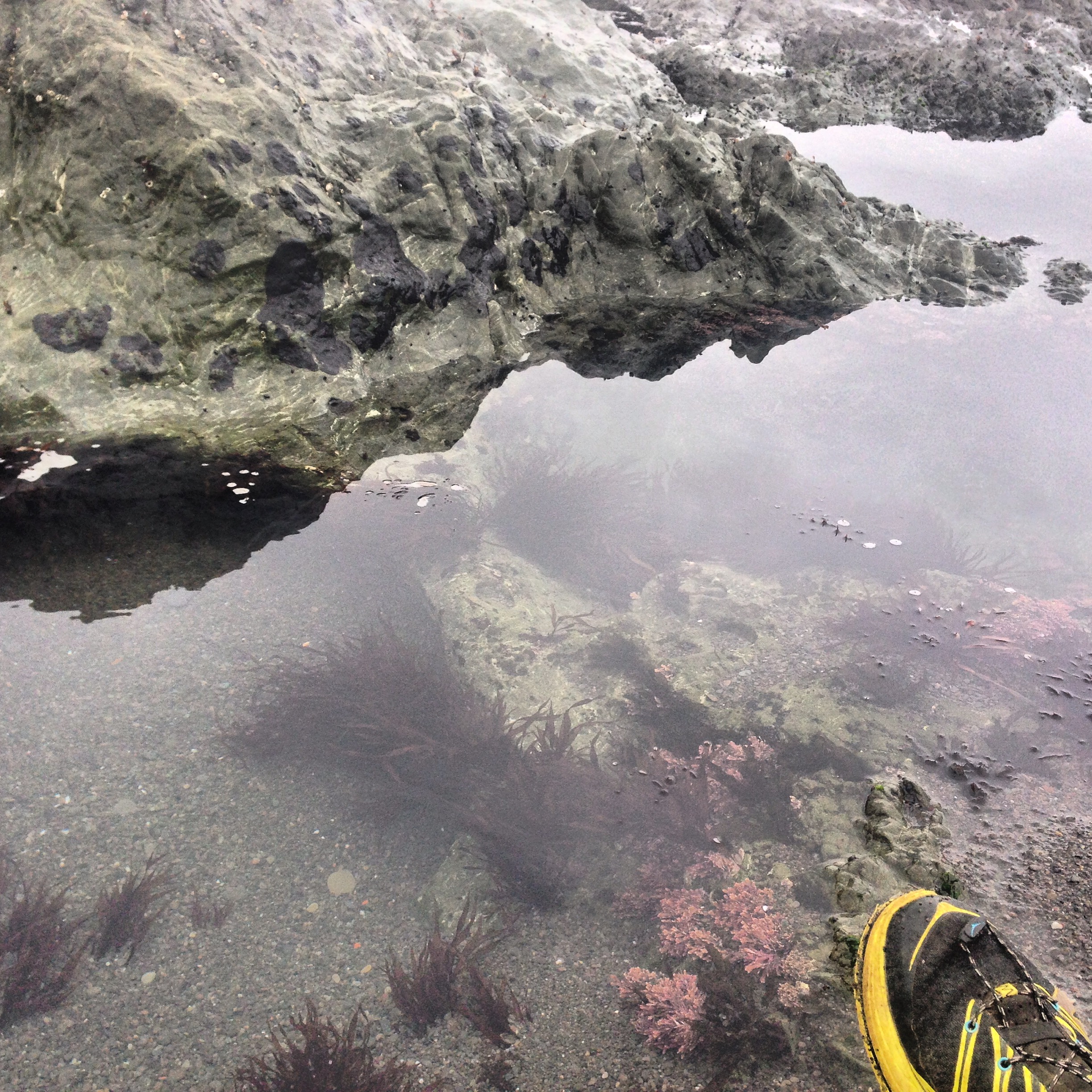
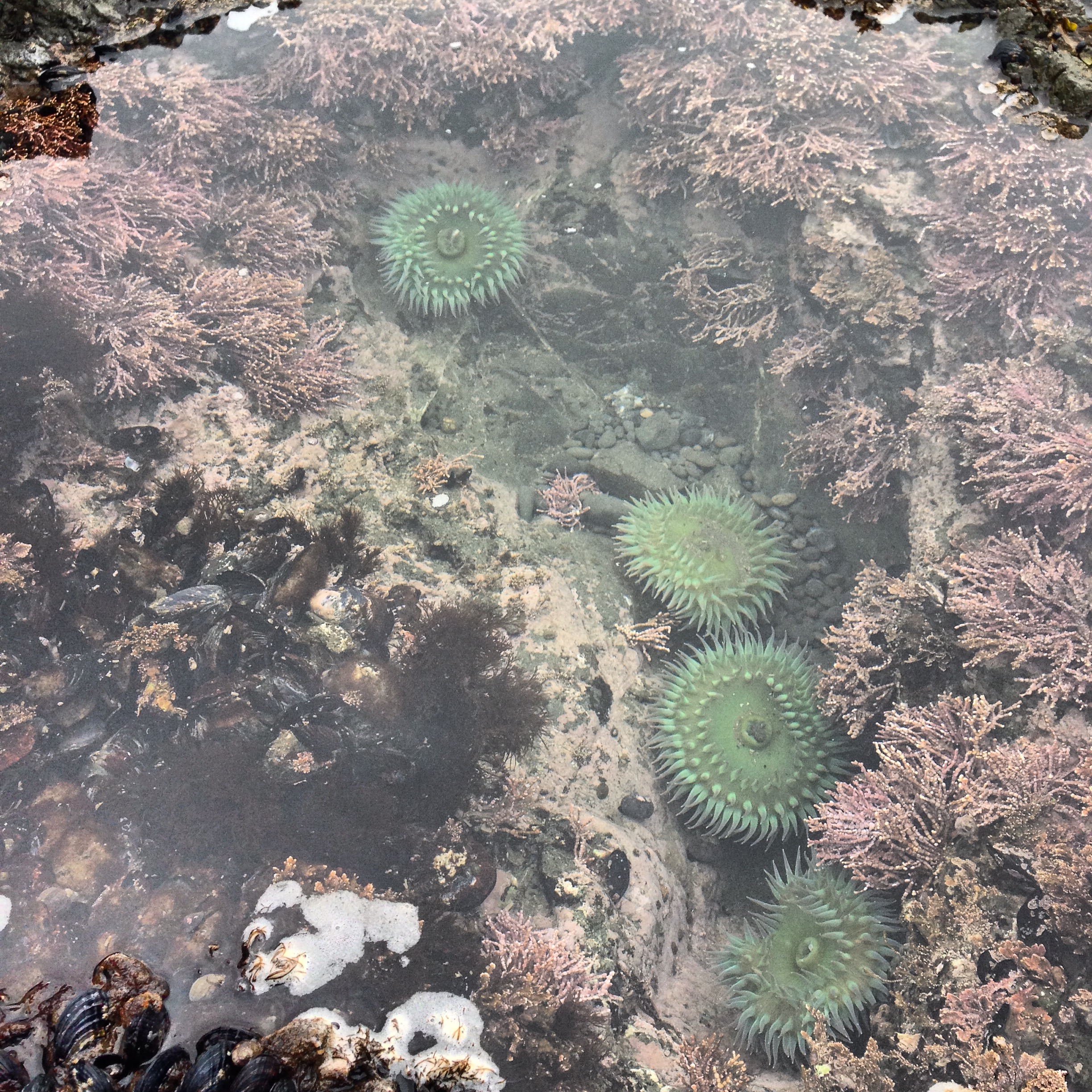
At the North end of the route, there are some great tide pools! I knew I needed to run quickly to finish the route in time, so I spent extra time at the tide pools, and ran faster later on.
At the beginning, it was quiet and rugged. It really did feel like a lost coast. As I got further in, I encountered all of the backpackers (about 100 people over 26 miles – which I tracked by hitting the lap button on my watch).
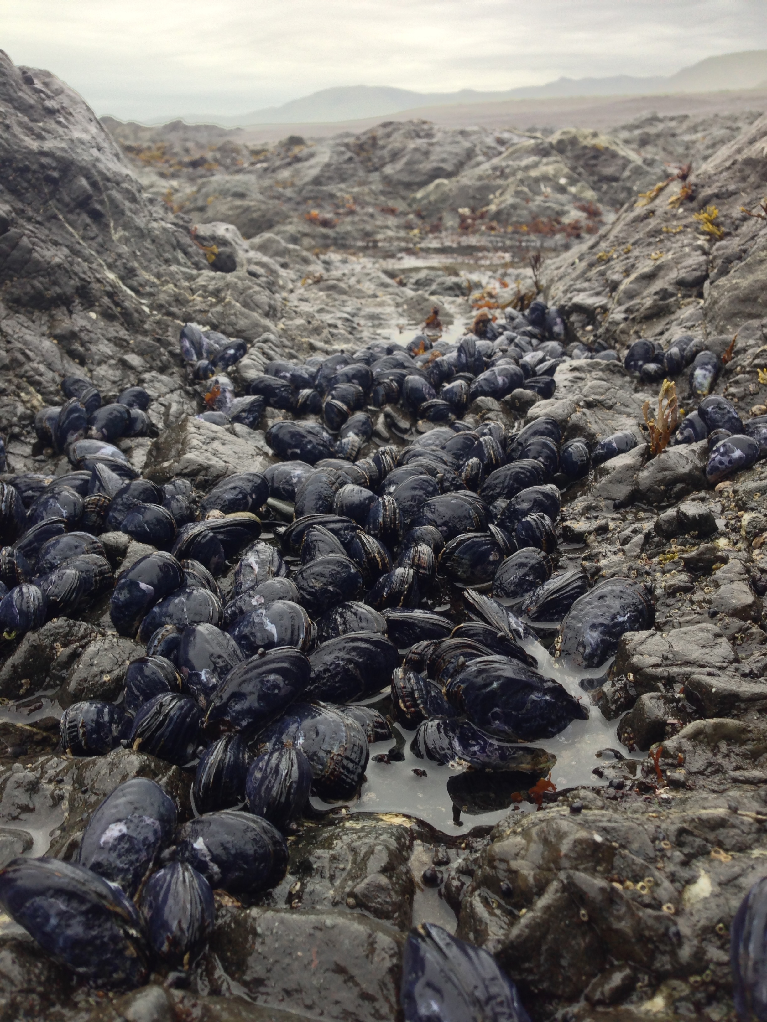
Mussels on Lost Coast
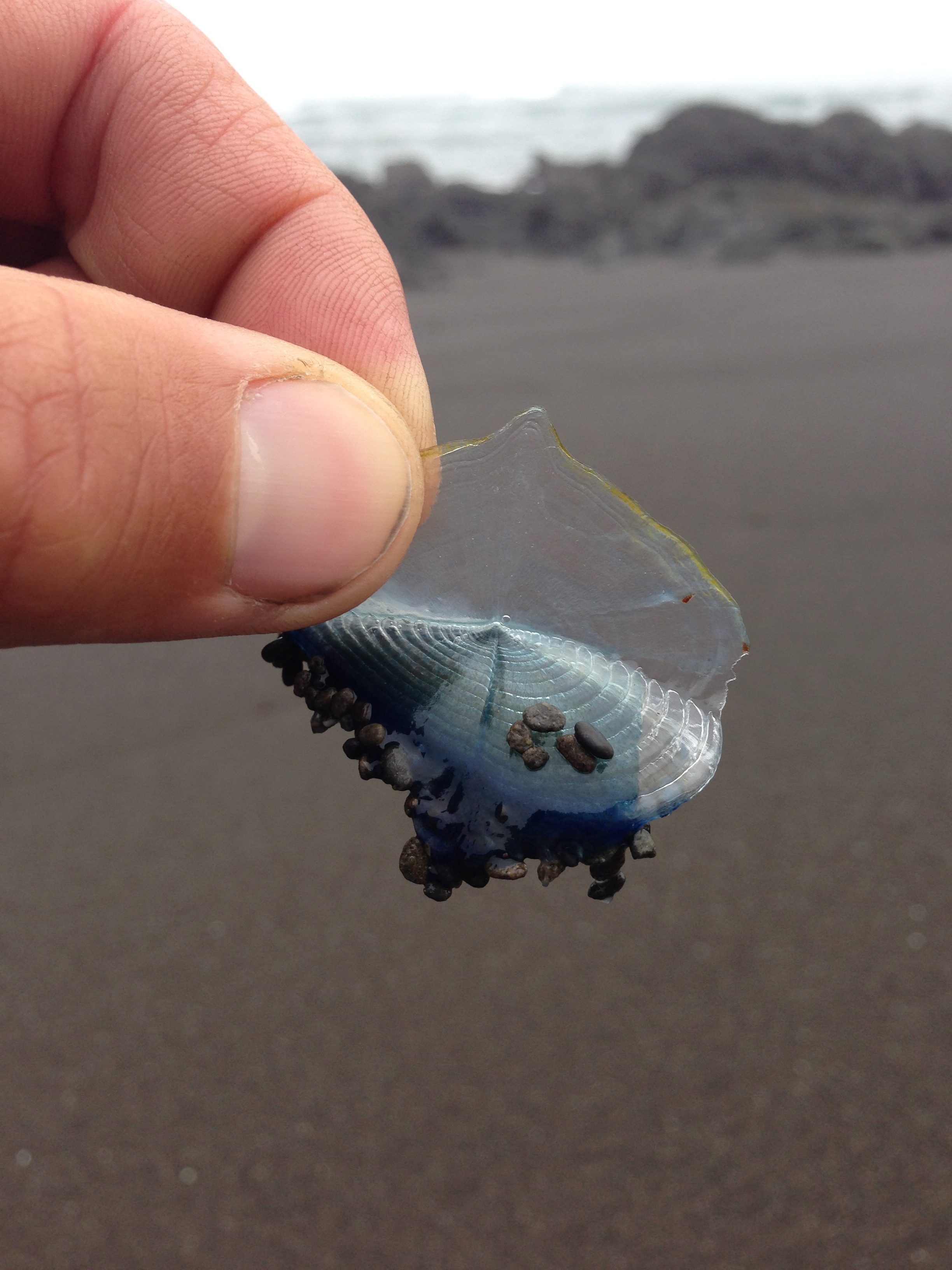
http://en.wikipedia.org/wiki/Velella These are hydrozoans that are related to the Portuguese man o’ war. The beach was littered with millions of their bodies due to a recent storm
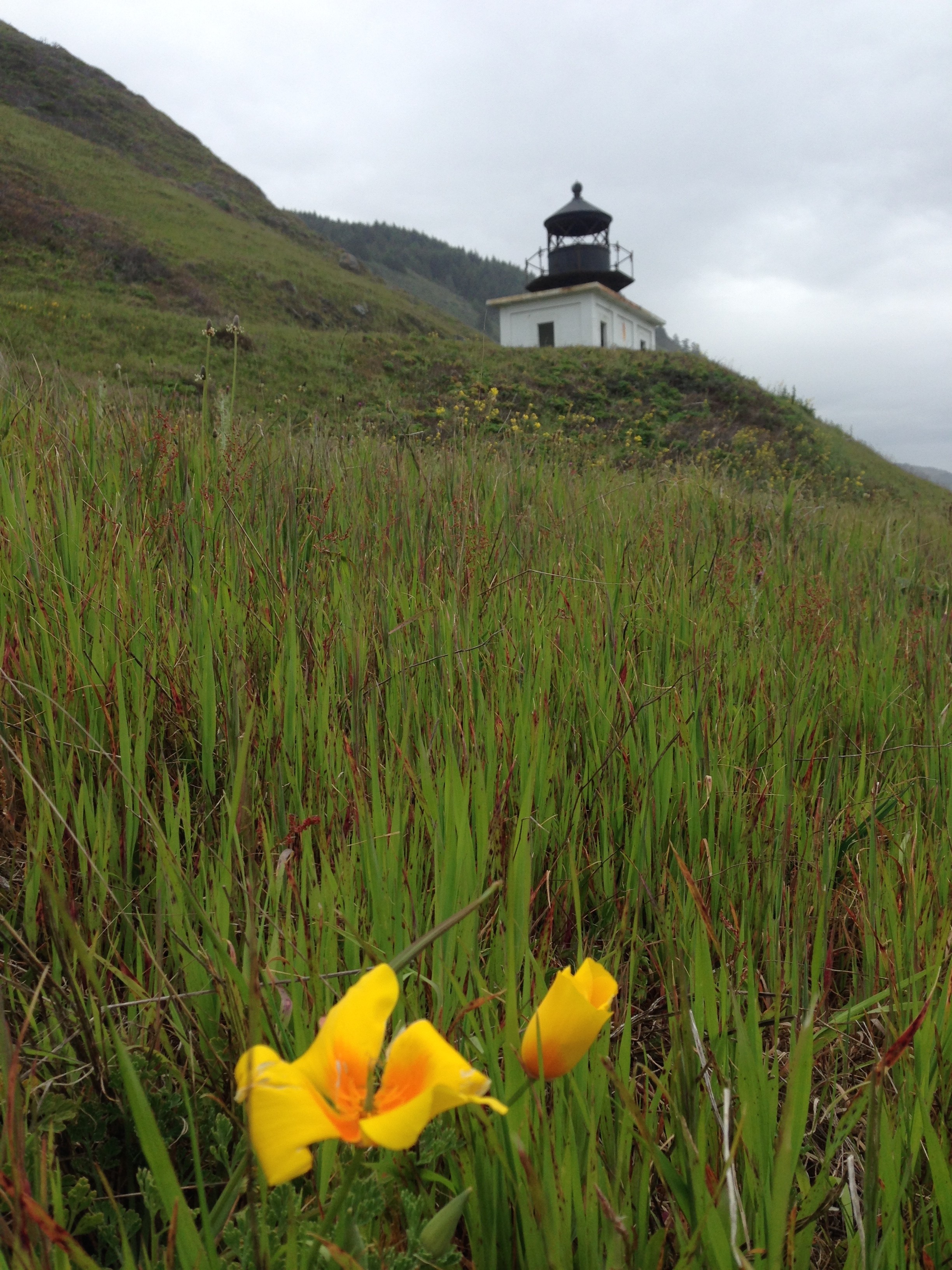
This is the Punta Gorda Light house. The sign says that they had a boat out in the ocean with a long cable connected to land. They then unloaded the boat via the cable to get the materials and supplies to this remote location
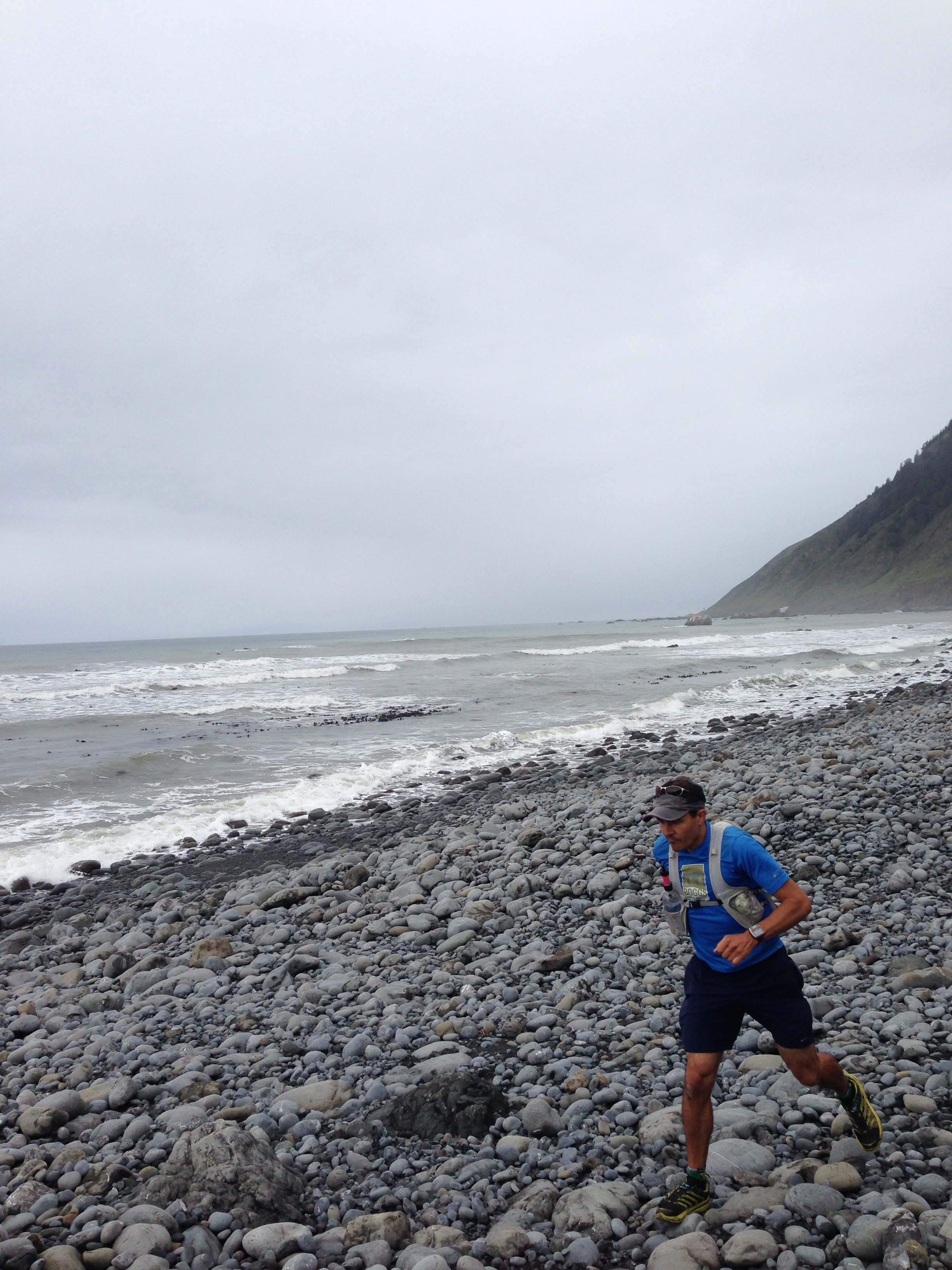
Running on this terrain is slow, but suprisingly good on the joints due to the movement of the surface beneath you.
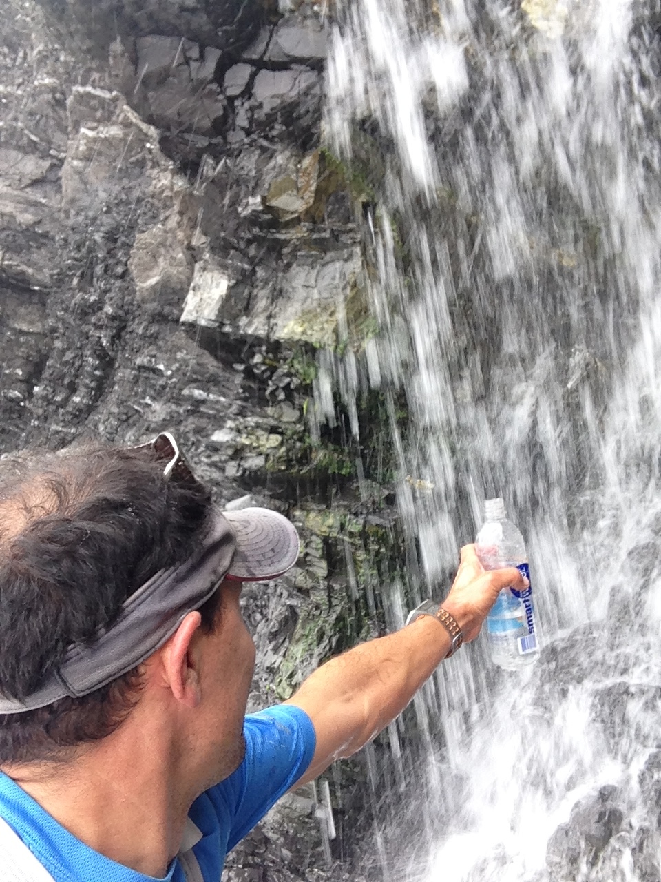
Here is me filling up! I have a Sawyer Mini filter which screws onto the bottle, making fill ups super fast and easy.
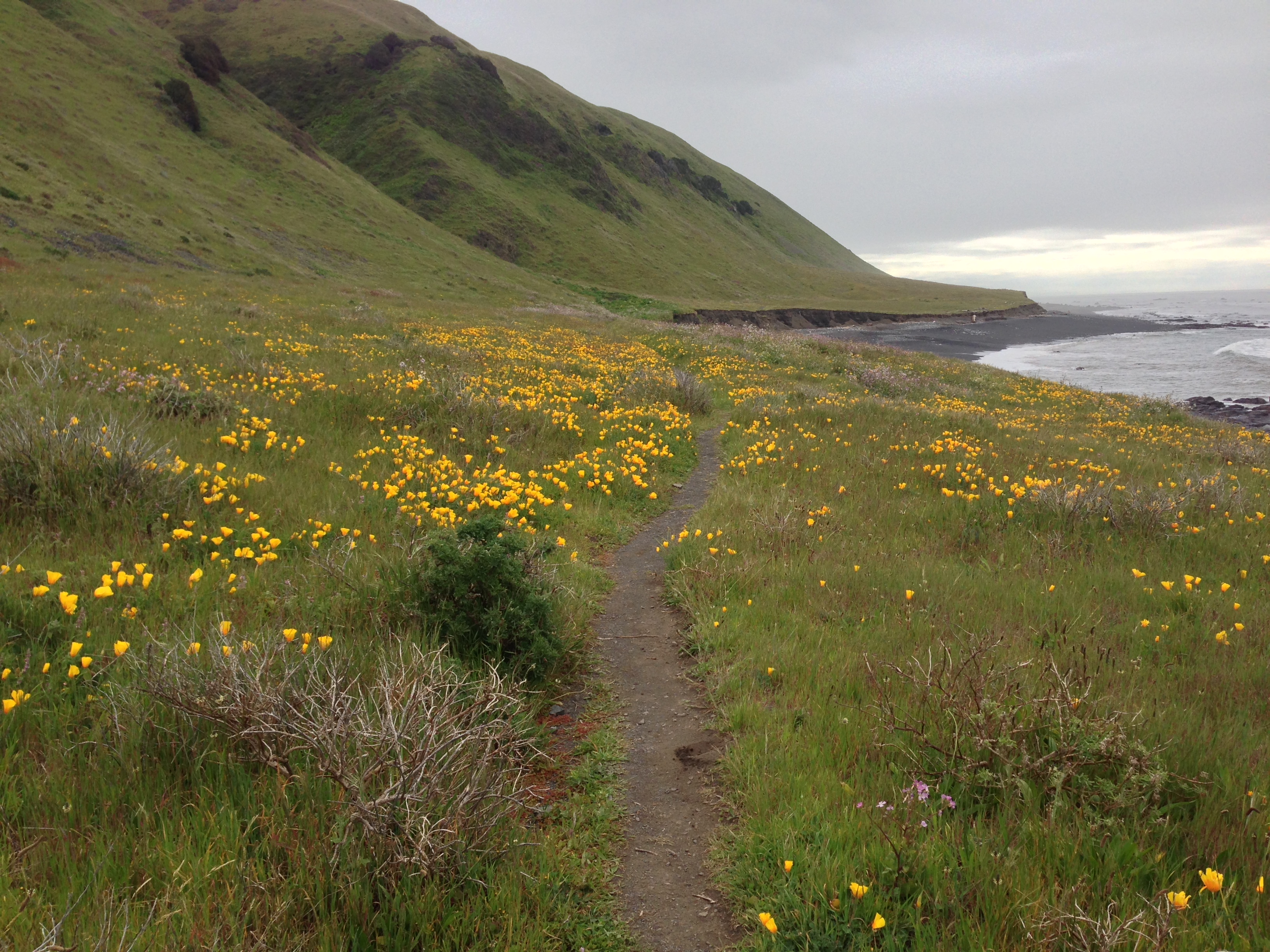
This was my favorite section of the trail! Smooth sailing, and beautiful poppies everywhere!
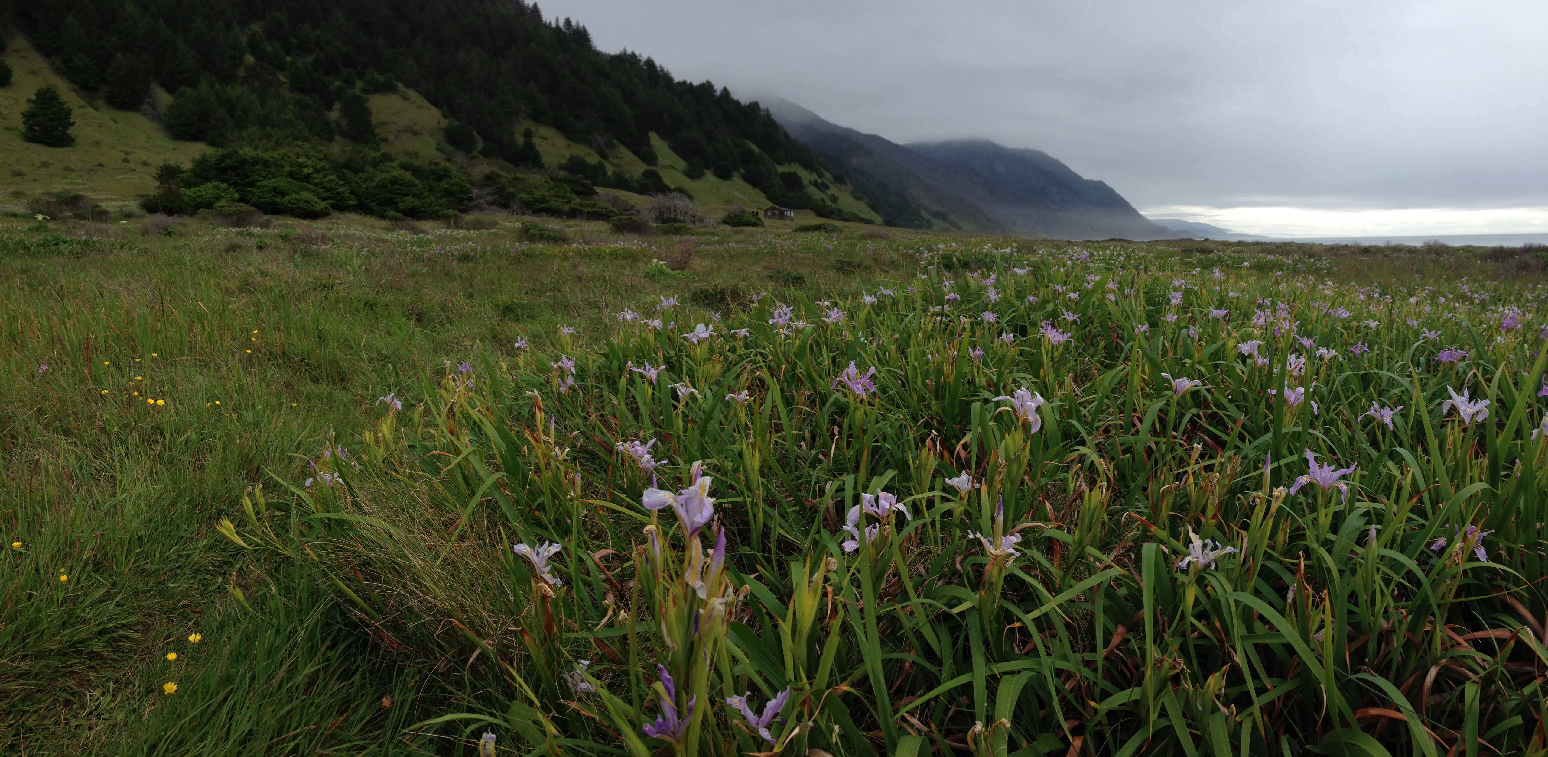
April may be a good time to go: the wild flowers were quite amazing! Notice the house in the background. I think I saw 5 houses total on this run, even though there are no roads to this area.
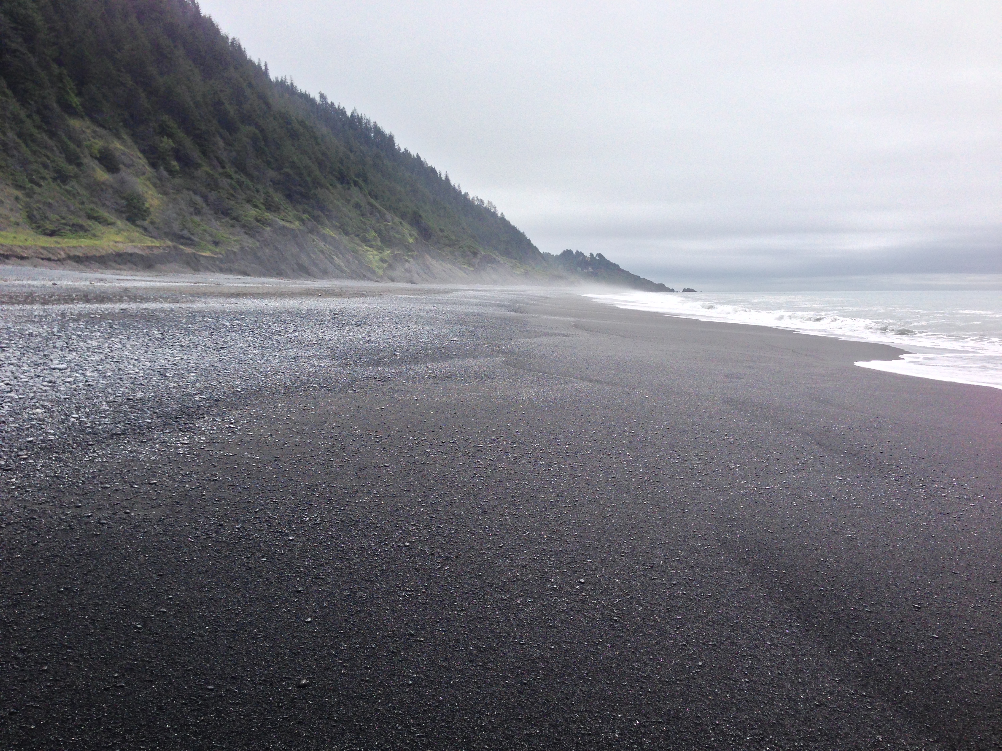
Black Sand Beach, near the end of the Lost Coast Trail. This is where you finish if you started at Mattole Beach in the North. It comes out at a town called “Shelter Cove.” This town is still a few hours drive on windy roads from HWY 101. As such, if you want a shuttle, you wil have to fork over $250-$400 (unless you have a willing sweetie like I did)


This is super helpful, I was wondering about the runnability of the surface. Nice to know it’s not too bad. Thanks!