Kings Canyon Rae Lakes Loop
Rae Lakes loop is one of the most popular routes in the Sierra. As such, I won’t go into too much detail about it, as there are plenty of resources to guide you along the way. Worth noting is the fact that during the summer season, the National Parks service allows 25 people per day to enter into the wilderness from Road’s end (the most common and logical place to start this loop).
The loop is popular because it combines many desirable traits: 3-4 days with no need to repeat terrain, It ventures up to some beautiful lakes, it is within the National park (which often brings extra attention). You can order your permit ahead of time during high season, but you need to pick it up at Road’s end during the hours of 7am to 3:30pm (you should double check, though) between ~May 22 and ~September 26 (double check these dates!) After September 26th, you’re in what I consider to be the ultimate time to visit: perfect beautiful weather, no crowds, and no requirement for pre-planning your permit. Bear canisters are required year round in this region – probably due to the number of people that come through. Please, please do adhere to the permit requirements. The reason for permits is largely due to quotas. You want the wilderness to be a natural place, and 25+ humans a day all summer long has a big impact on the terrain. Bear lockers are there, but they are intended for PCT through hikers. This is a spectacular loop – one of my favorites in the Sierra – so try and get a permit, and wait for a day that works for you. Note that while the NPS page says this is a 41.5 mile loop, our GPS units measured a distance closer to 50 miles.
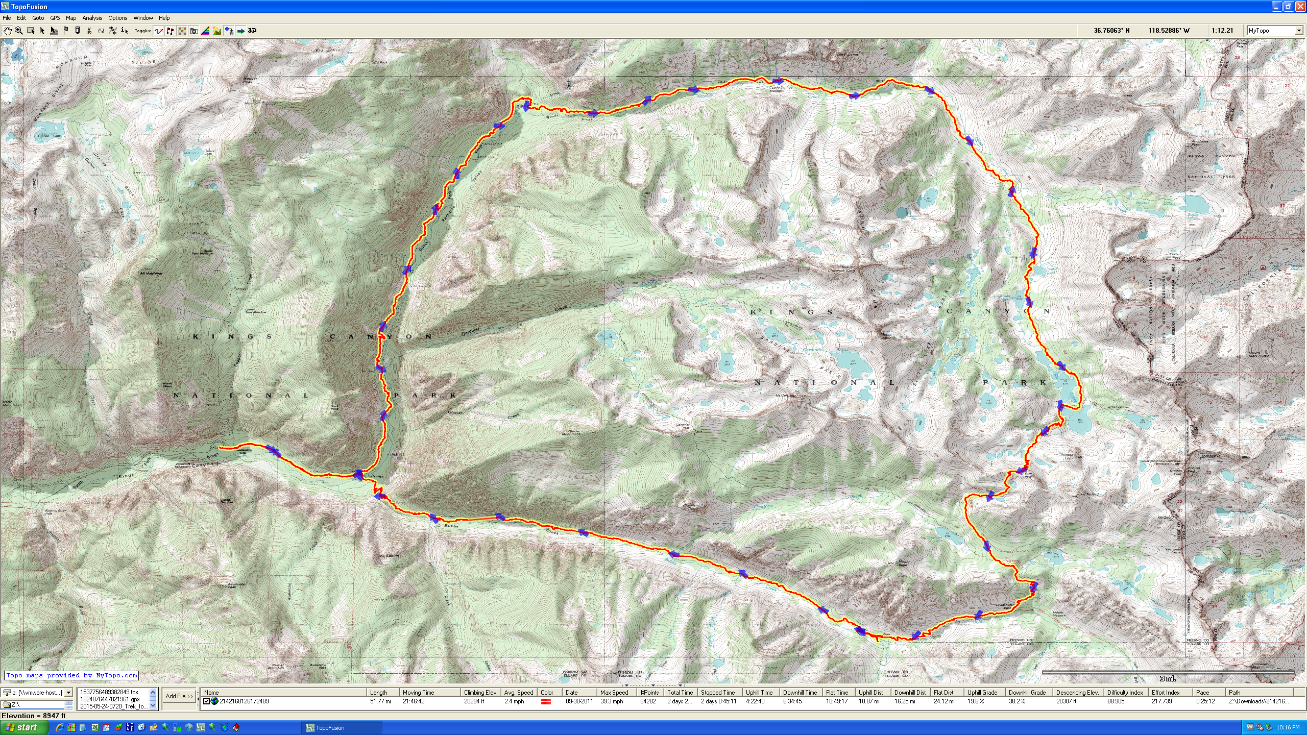
Overview of our 51 mile route. We did this route in 4 days. It is a very popular route.
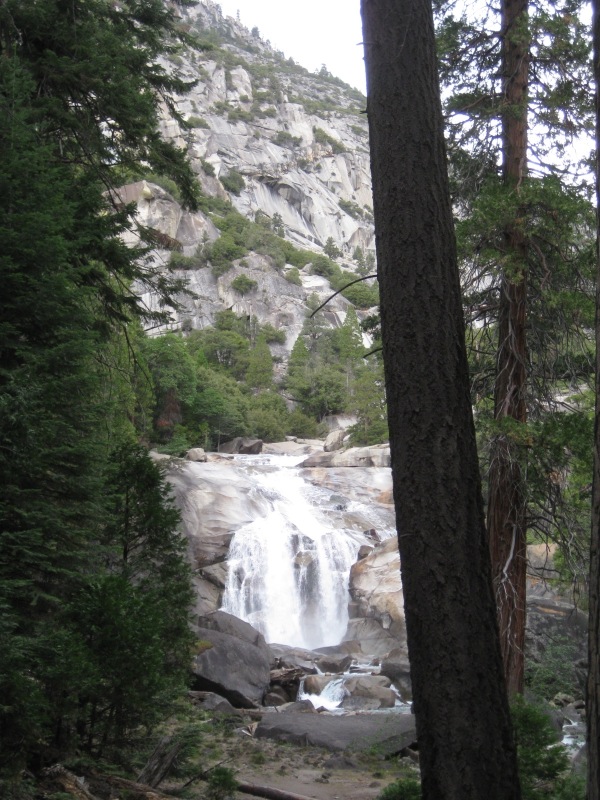
Mist Falls on the South Fork of Kings River (near confluence with Gardiner Creek)
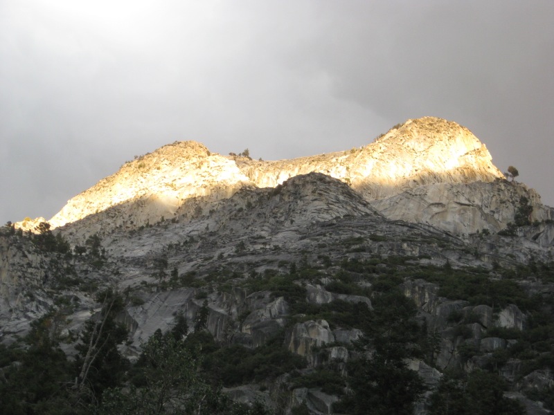
Sunlight on the Mountains above the Woods Creek Trail
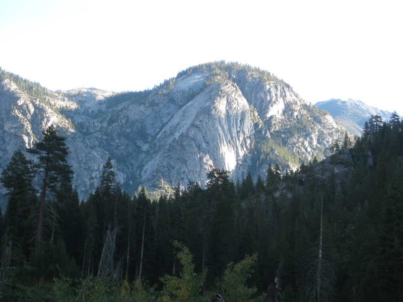
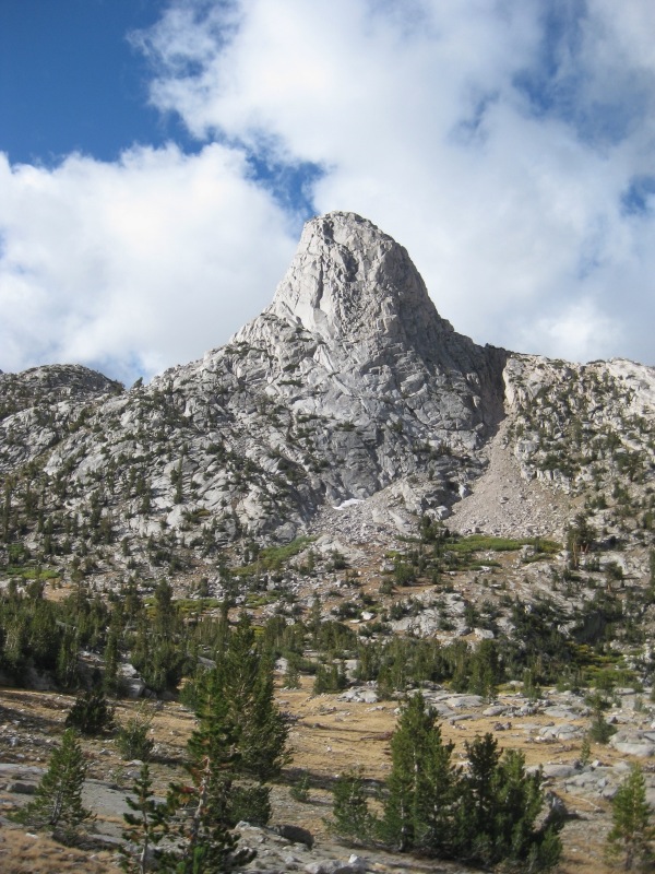
Mountains above the Woods Creek Trail
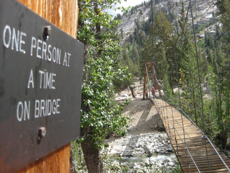
Bridge at junction with the Pacific Crest / John Muir Trail and Woods Creek Trail
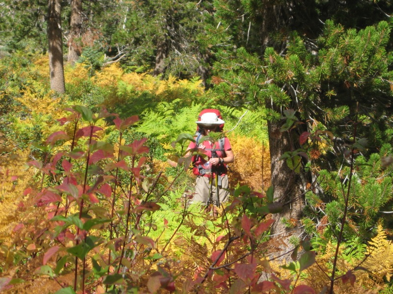
Nearly 10,000′ in Autumn can be spectacular for color!
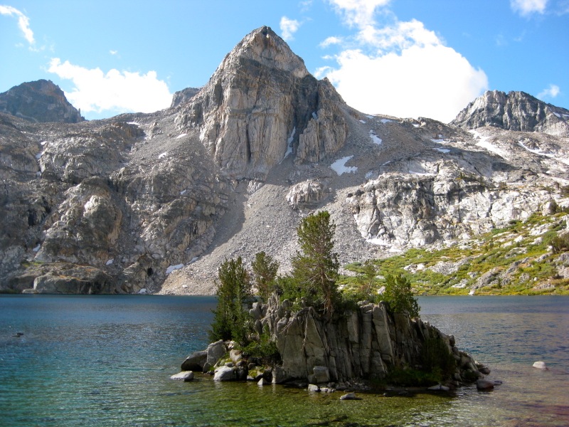
View of Fin Dome taken from Rae Lake.
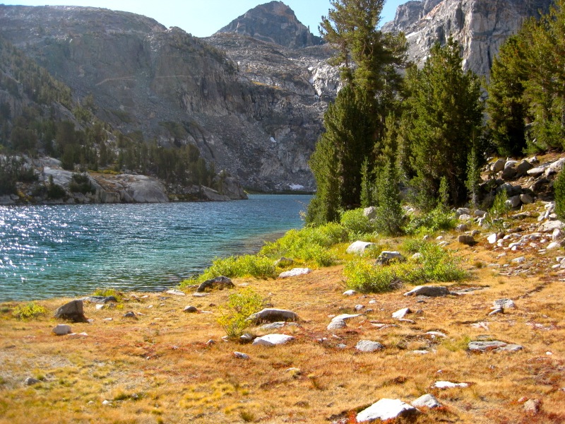
Rae Lake in the Autumn. Rae Lake is not the only lake in this area; many of the lakes are very beautiful (especially with fall colors)
Painted Lady with Rae Lake in the foreground
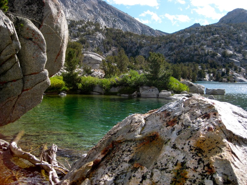
Edge of Rae Lake
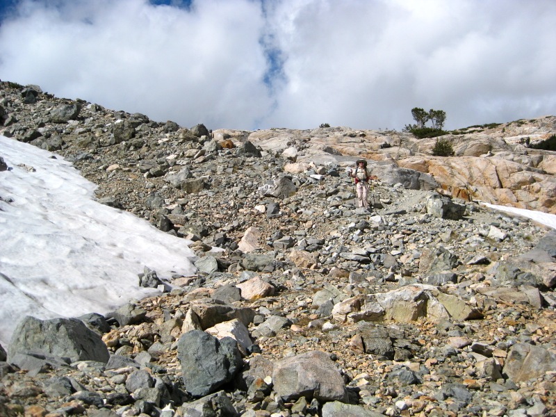
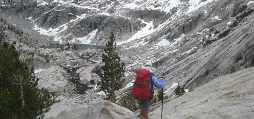
The terrain suddenly gets steep as you climb over Glenn Pass
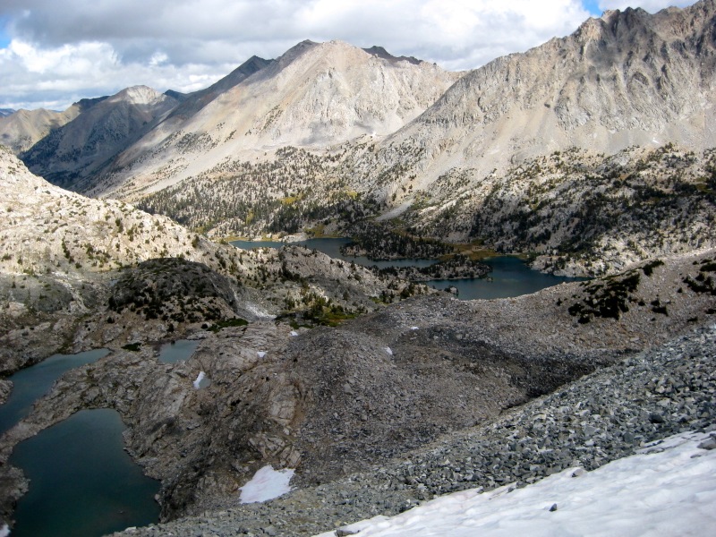
Looking down towards Vidette Meadow, you can see Charlotte Lake and Bullfrog Lake
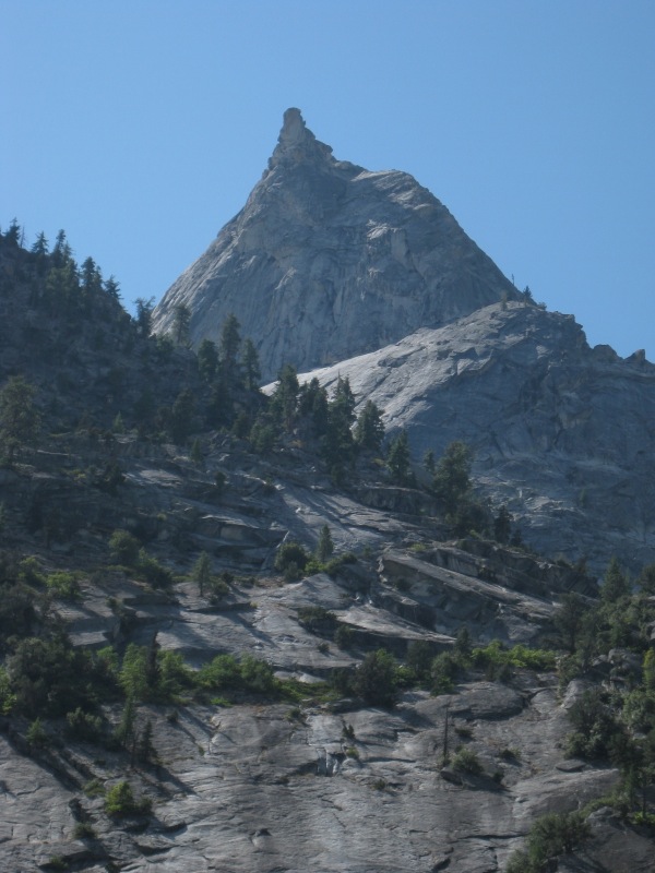
The Sphinx as seen from the Bubbs Creek Trail, near confluence of Bubb’s creek and Sphinx Creek
This is the map for the entire route discussed in this post. To Export GPX files, click on the three horizontal bars in the upper right hand corner of the map and select Export selected map data…
To see full screen, click here (opens in new window)