Kings Canyon – Lewis Creek – Copper Creek Trails
This 66 mile loop begins at the Lewis Creek Trailhead in Kings Canyon National Park. Last we checked, during the peak season, there are 25 people allowed per day at the Lewis Creek Trailhead. At the permit station, we discovered that only 4 of the available slots had been taking for the Lewis Creek trail – whereas 20+ slots had been filled for the Copper Creek Trail (which is how you exit the loop). Of course, the Rae Lakes trailhead had all 25 slots taken by early morning. So, the advantage to this route is that you can visit some fantastic Sierra scenery if you find that the more popular Rae Lakes trail is full. An added bonus that we discovered: we did not see another person in the 88 hours we spent on the route!
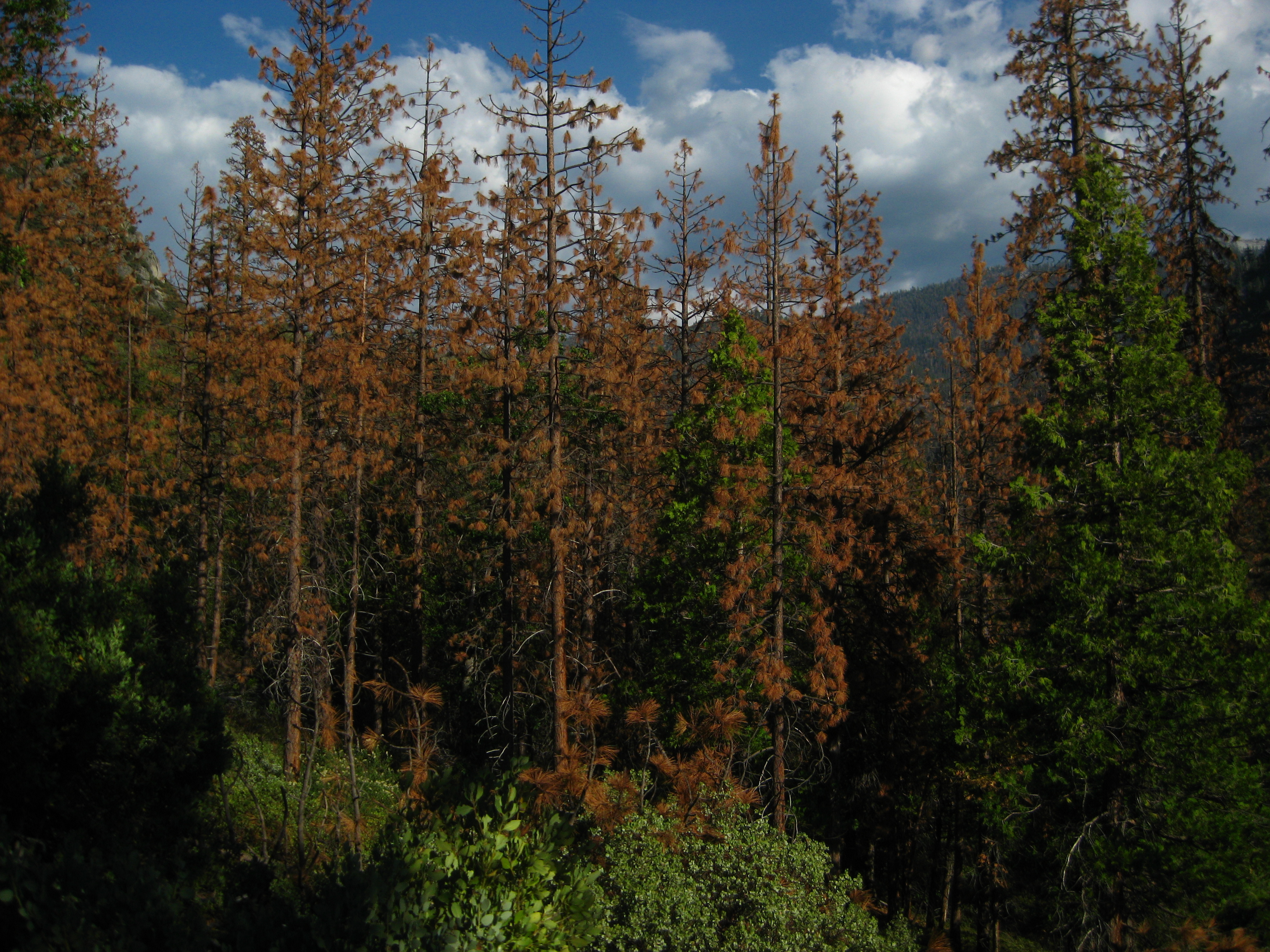
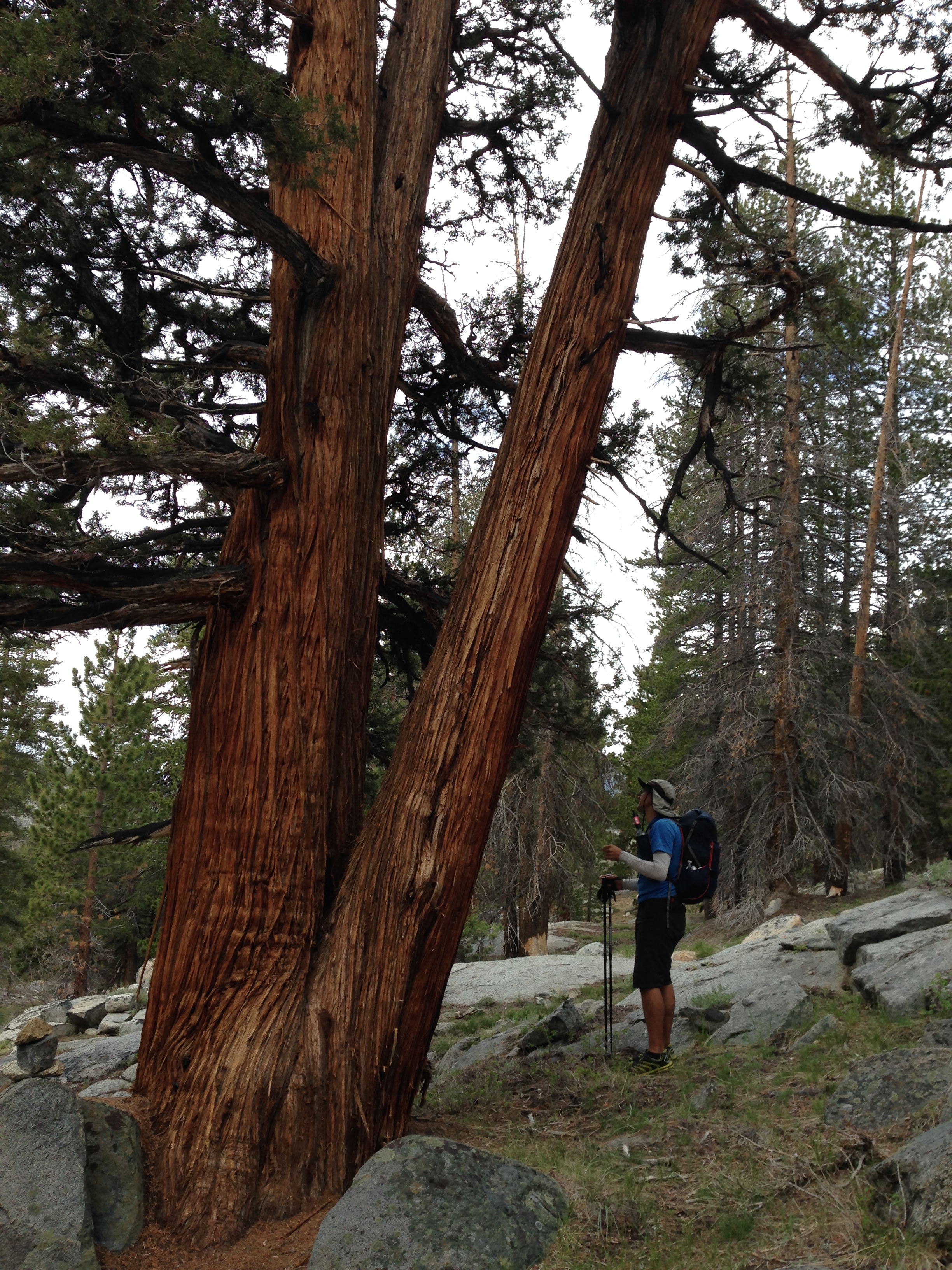
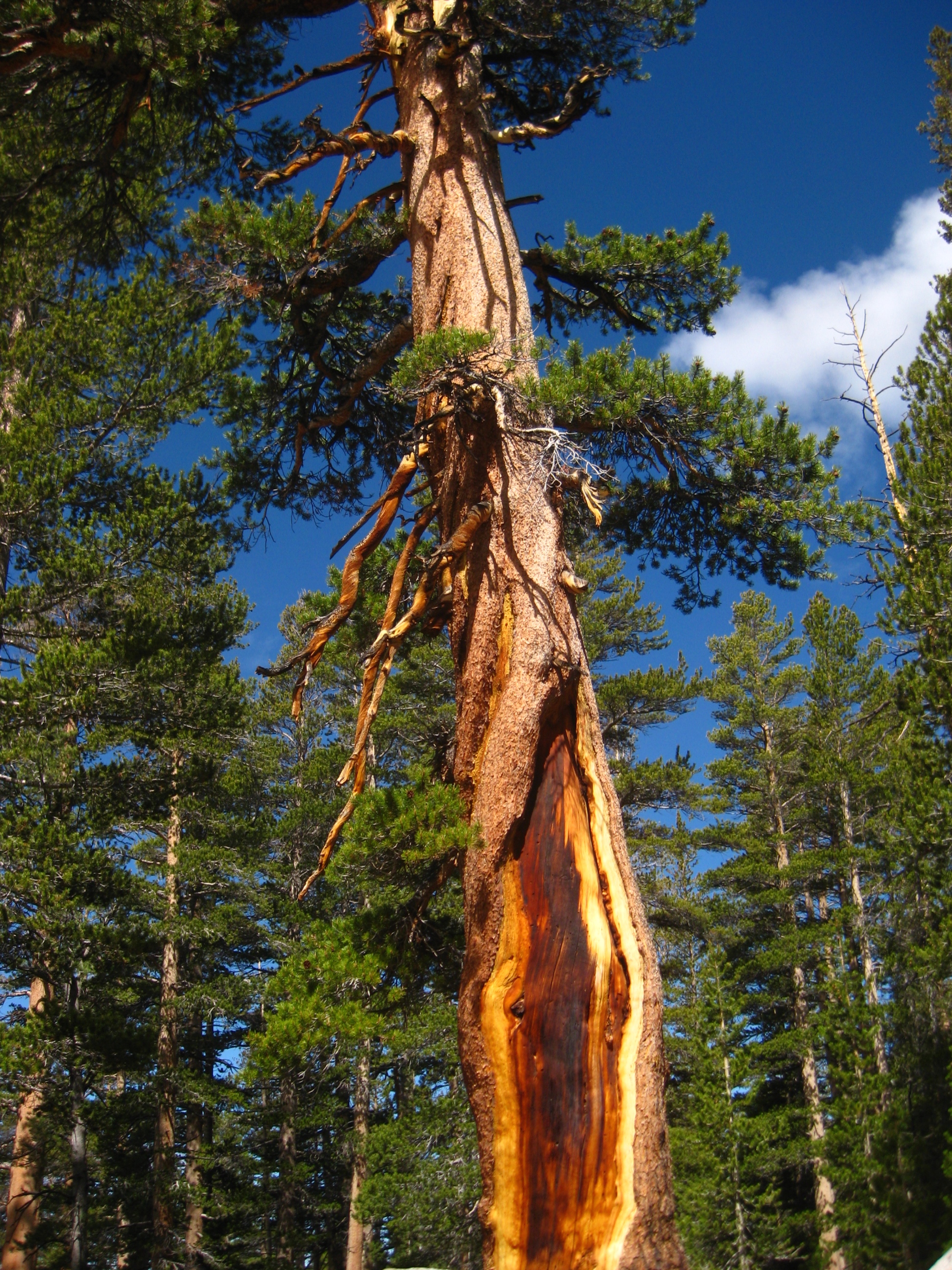
In times of severe drought, like we are seeing in 2015, many pines and cedars are dying. It’s not that the trees don’t have enough water per-se, it is that the trees are under stress, and no longer able to make enough of the protective chemicals that prevent the bark beetle infestations.
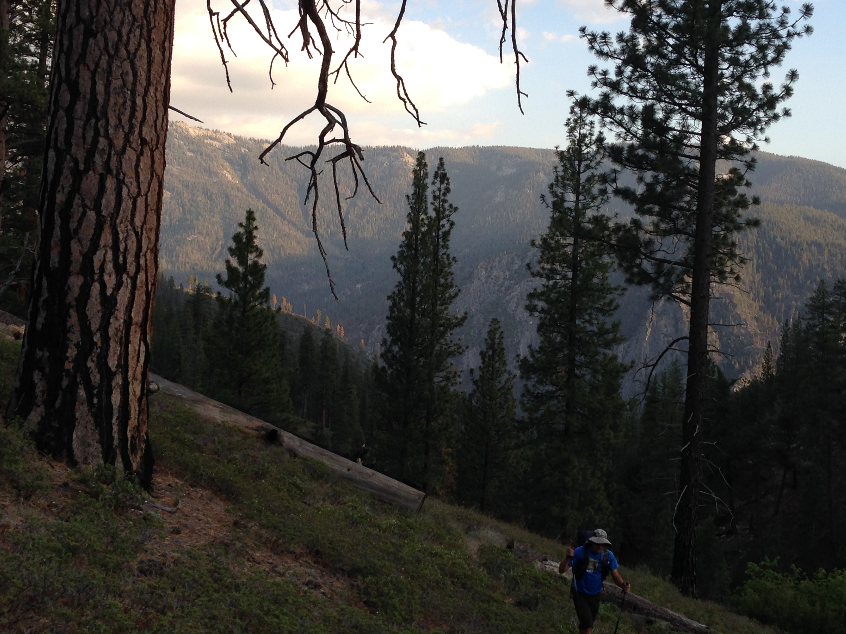
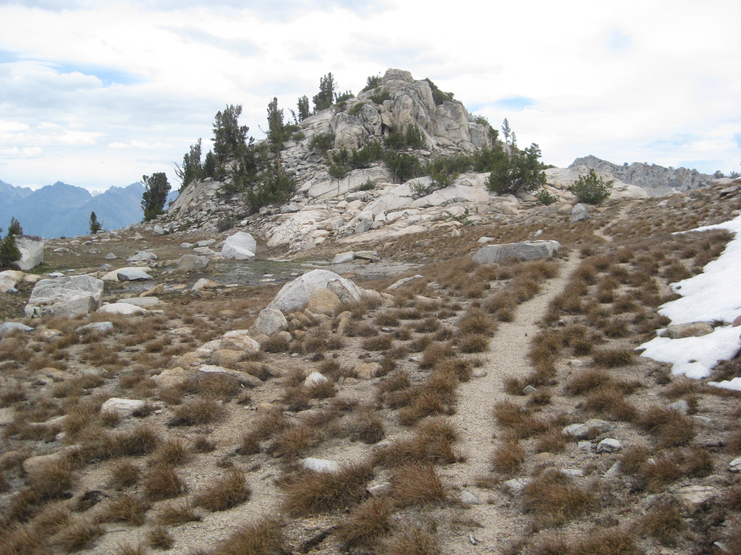
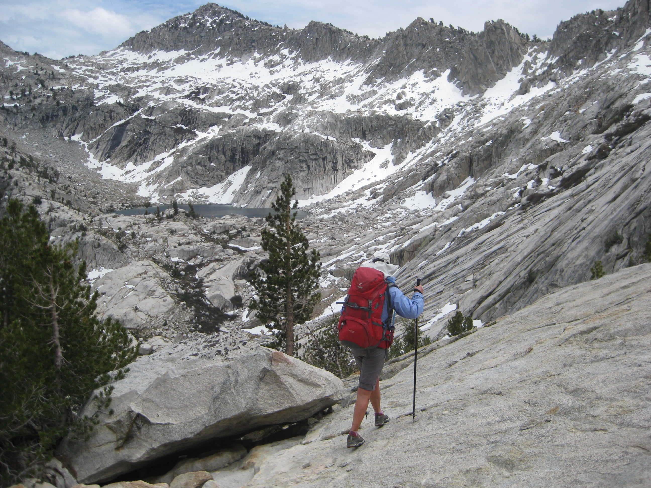
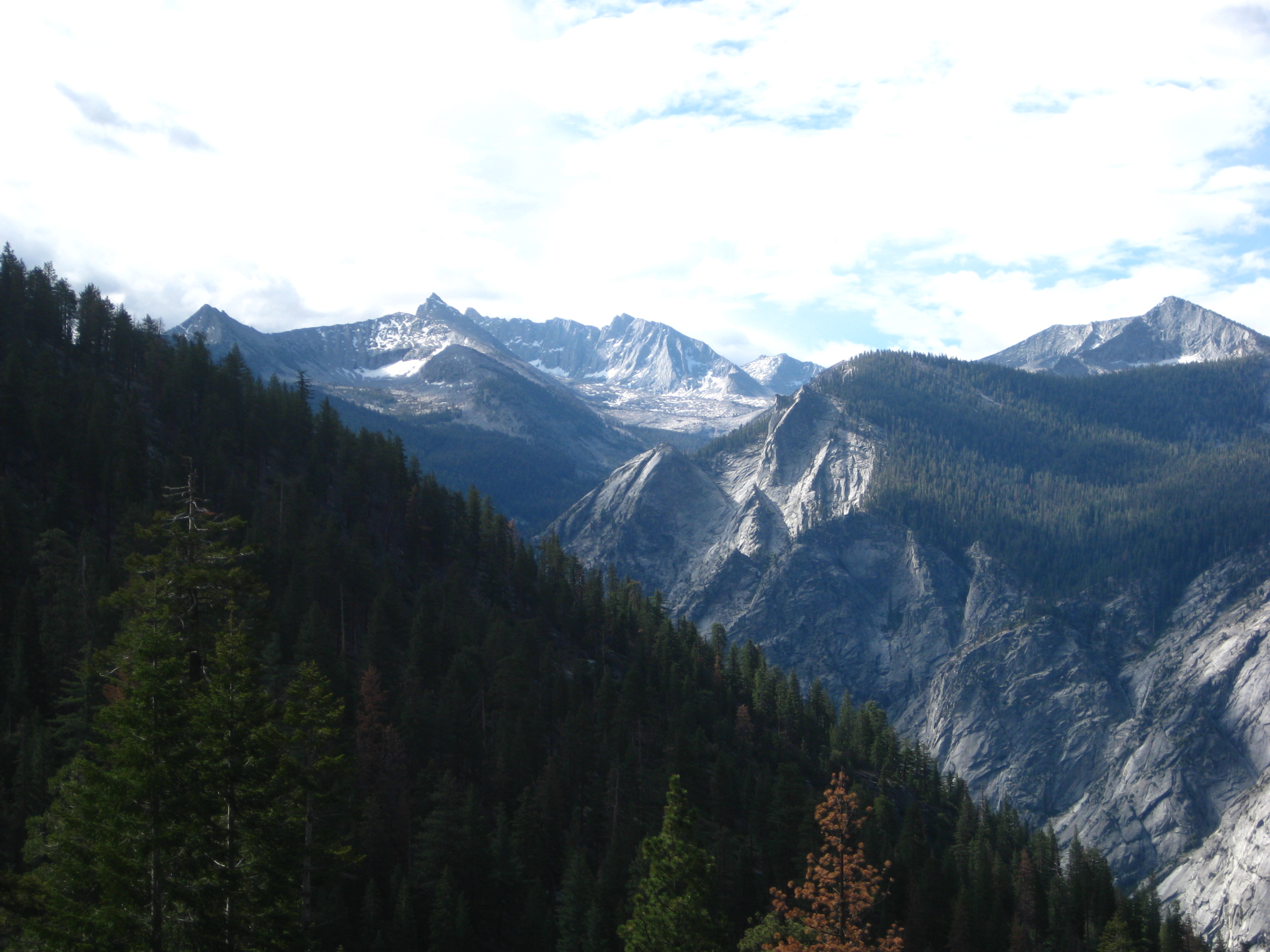
As you get higher on the slopes of the Lewis Creek Trail towards Frypan Meadow, you start to get views of the mountains below.
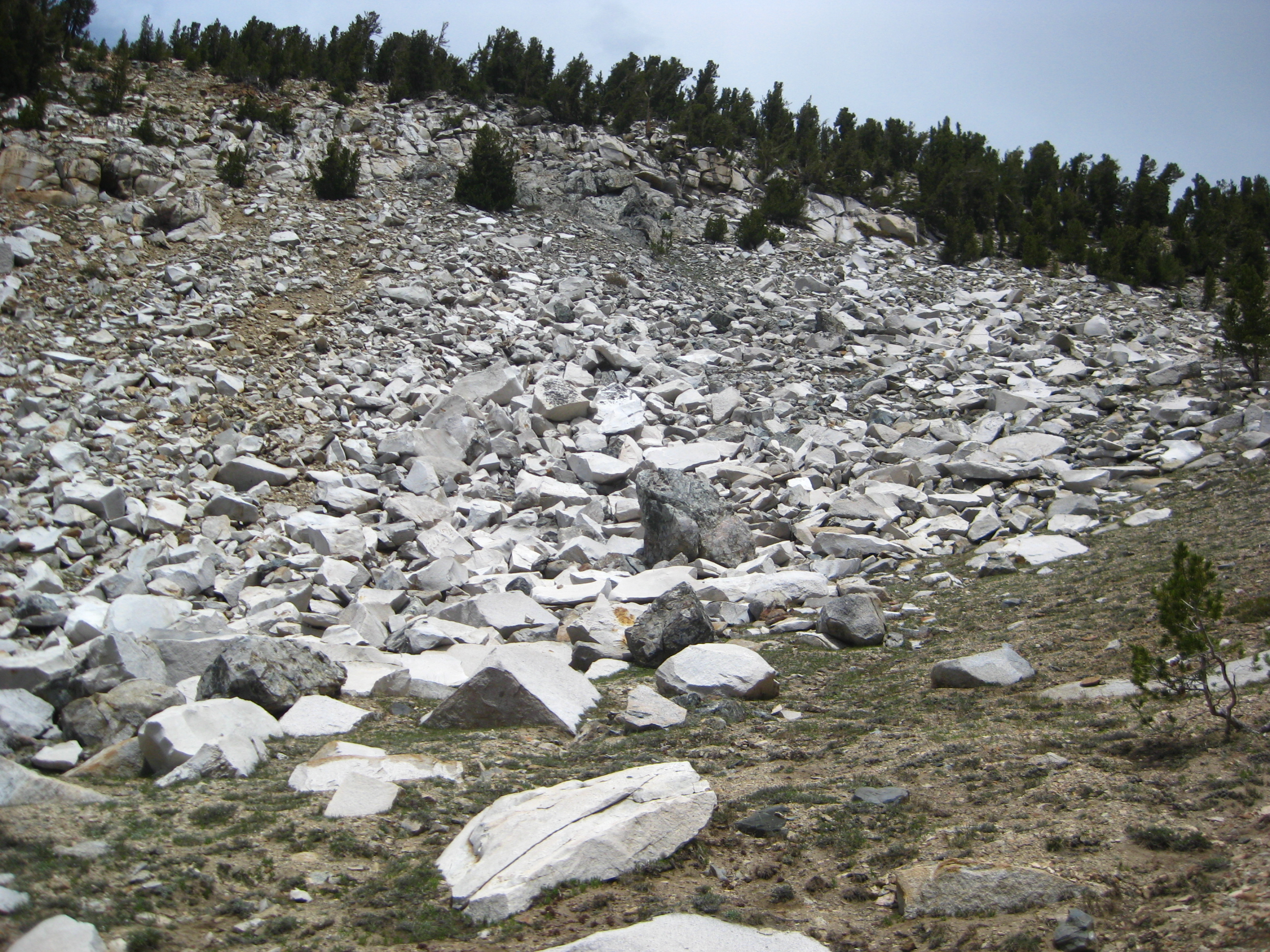
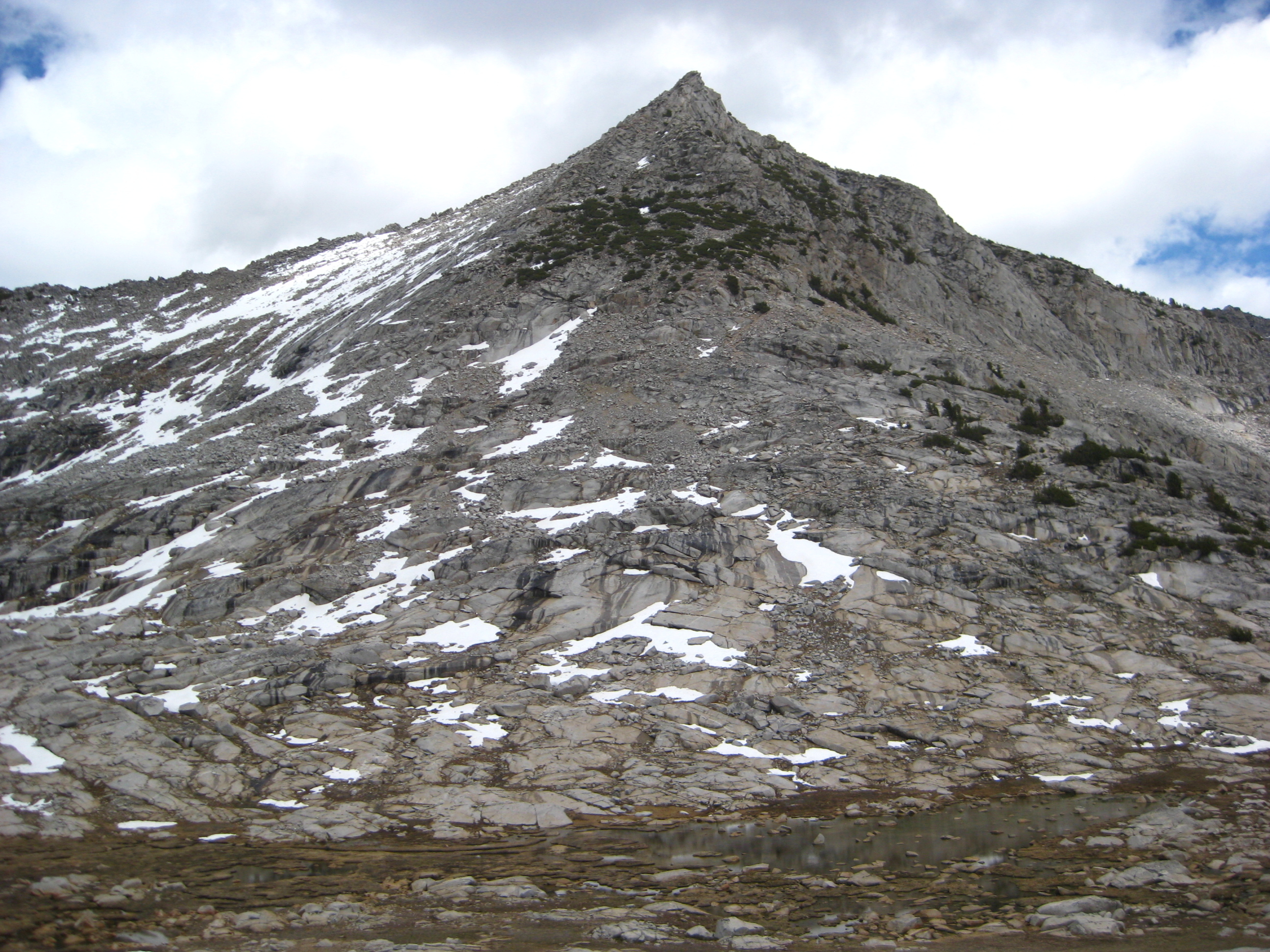
As you get higher towards Kennedy pass, you encounter Talus Slopes on the upper Lewis Creek Trail.
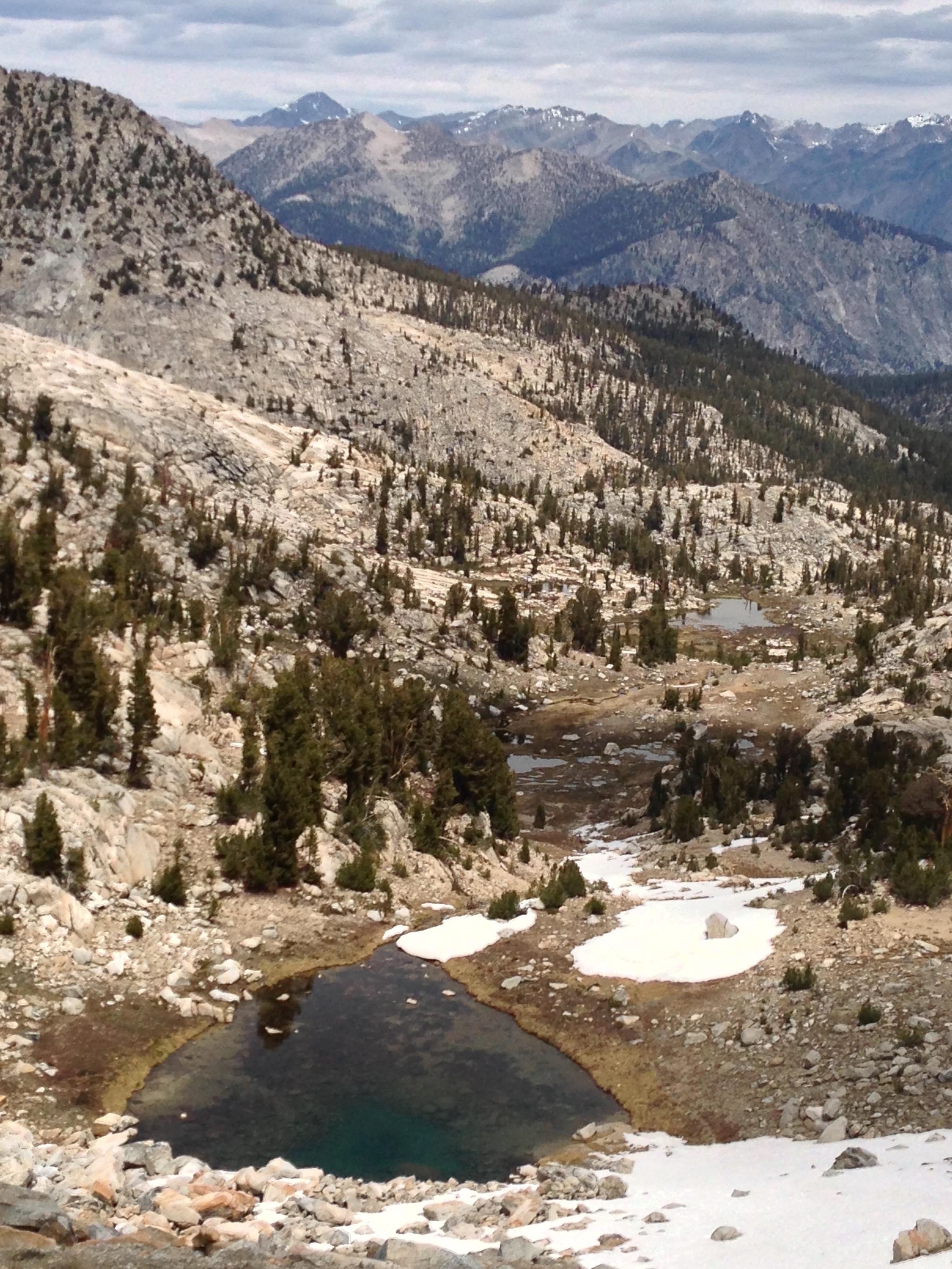
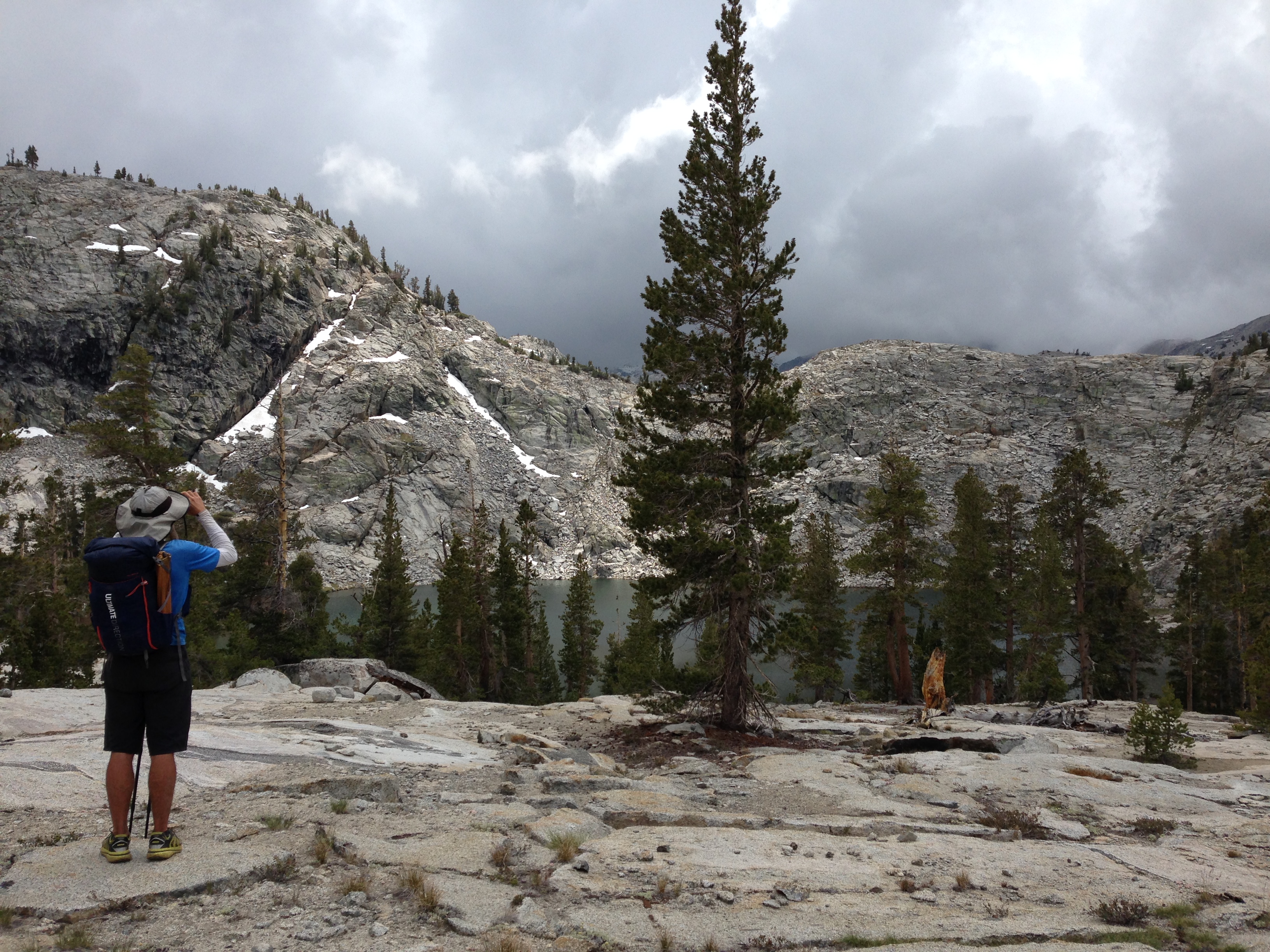
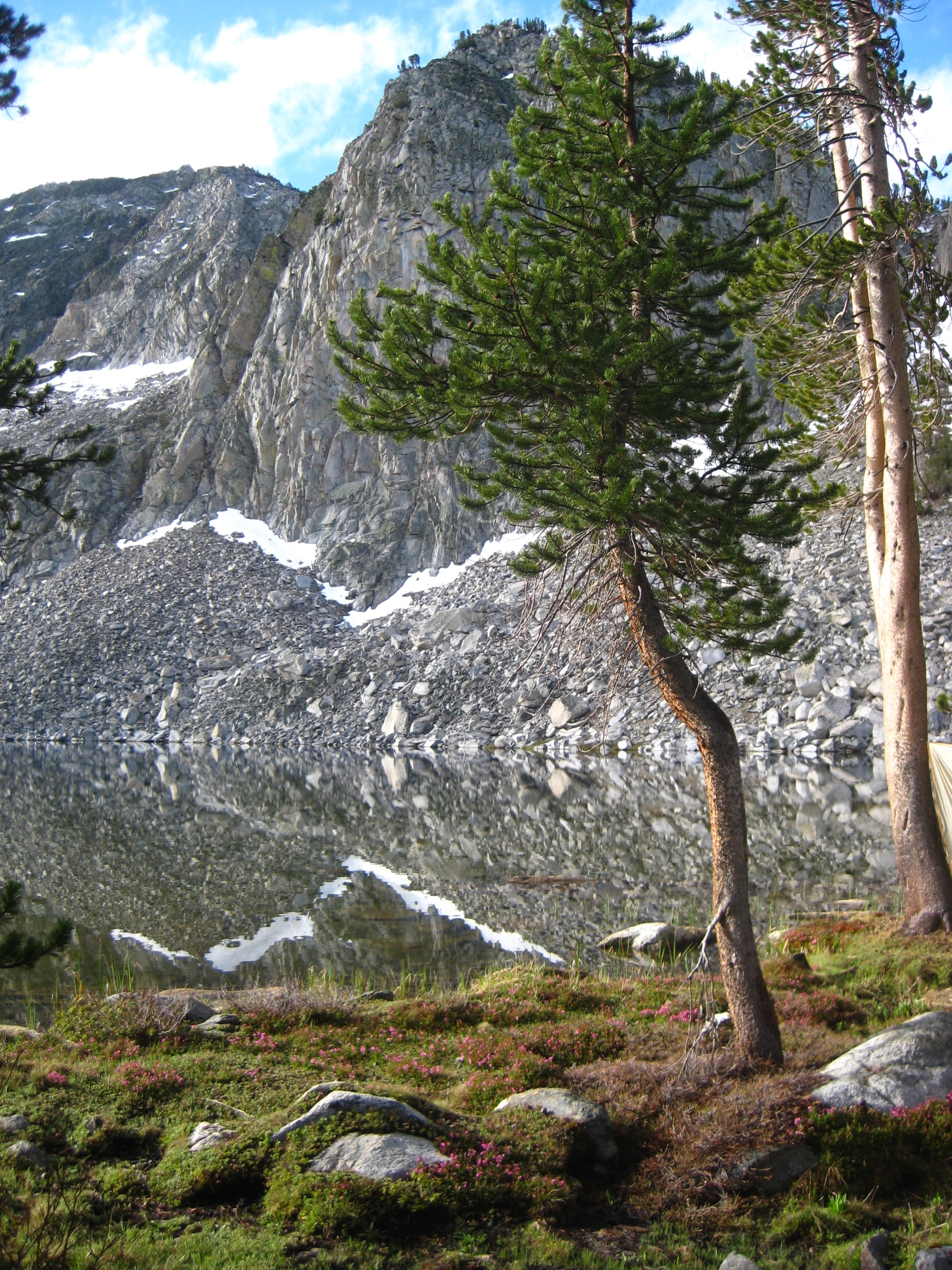
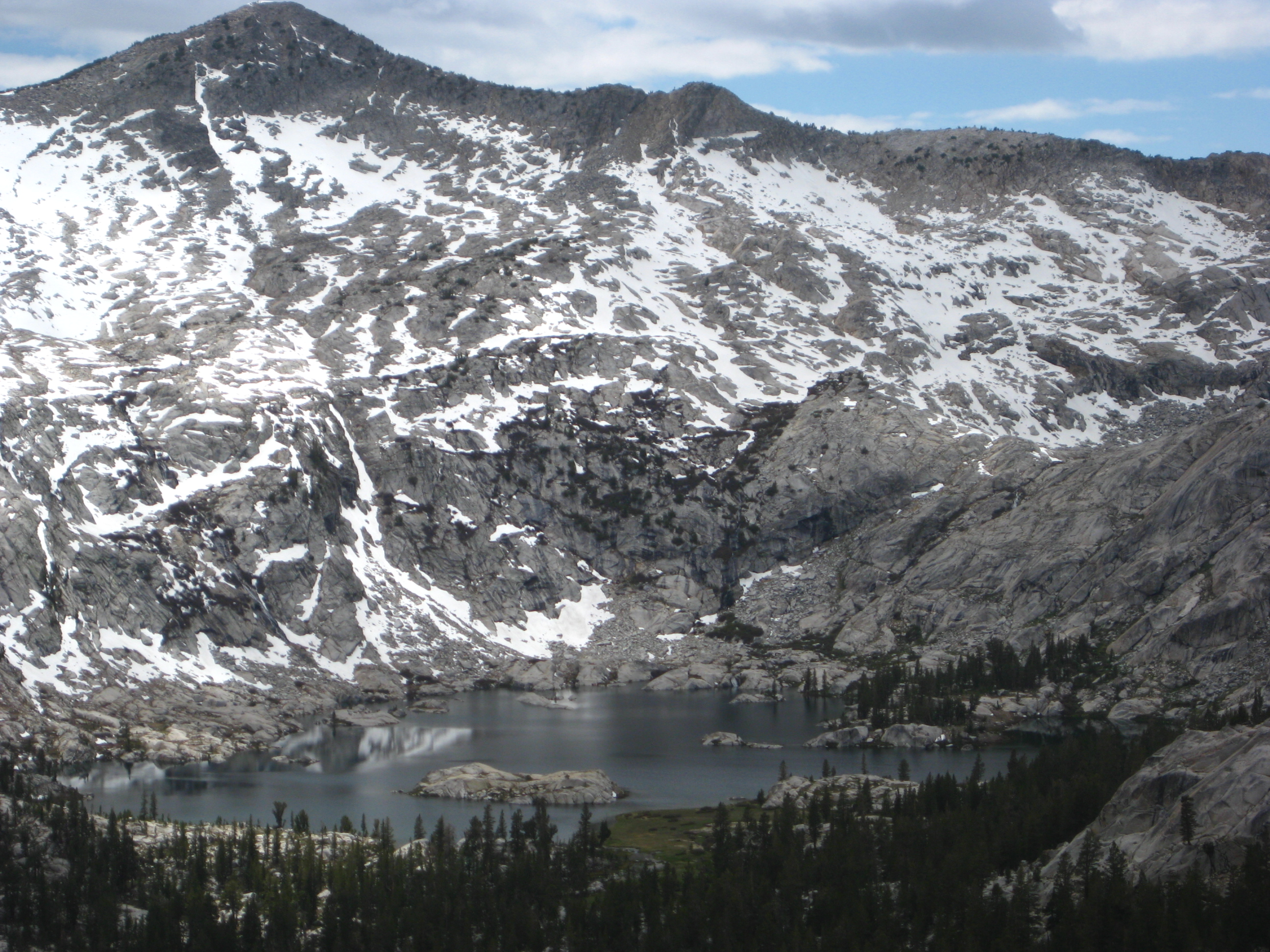
This is a seasonal lake just below Kennedy pass.
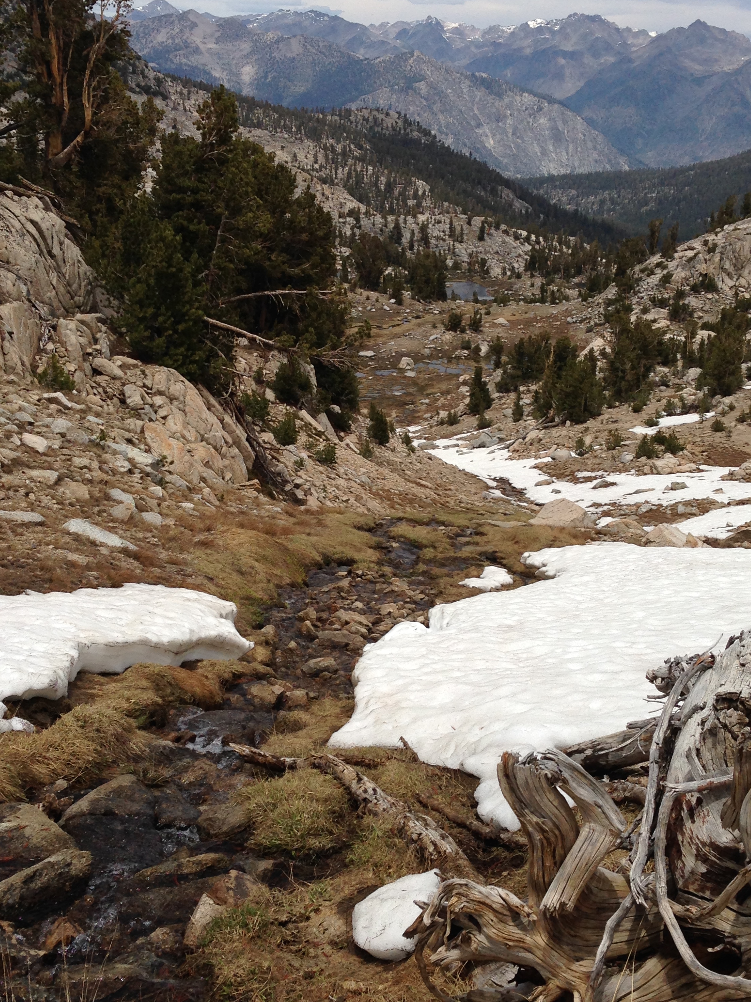
Kennedy Pass Drainage
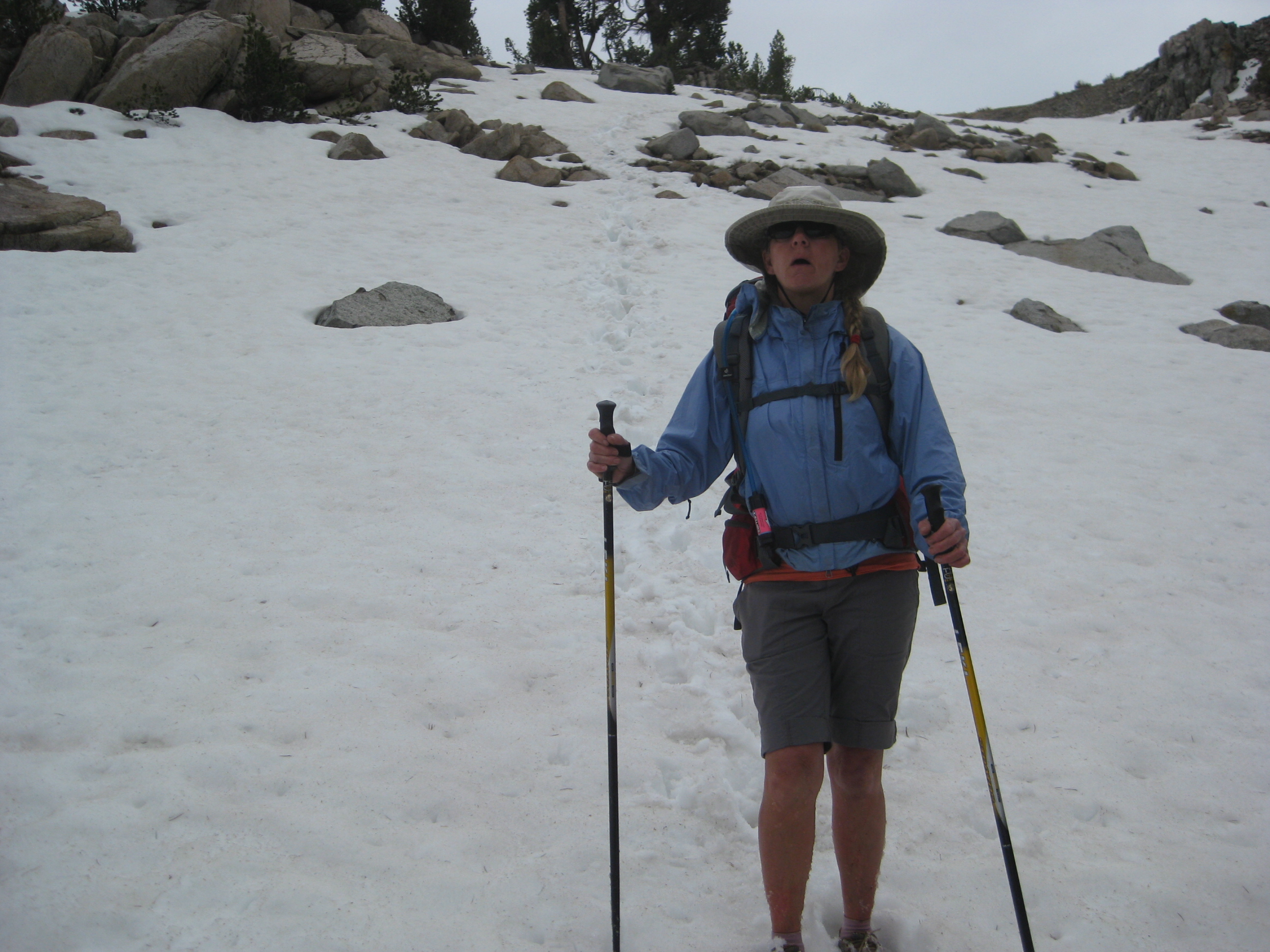
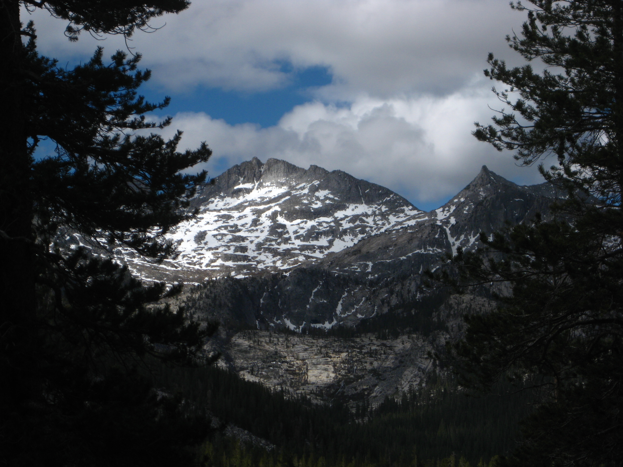
We’re deep into one of California’s worst droughts on record. In June, there is still a little bit os snow left at about 10,000 feet.
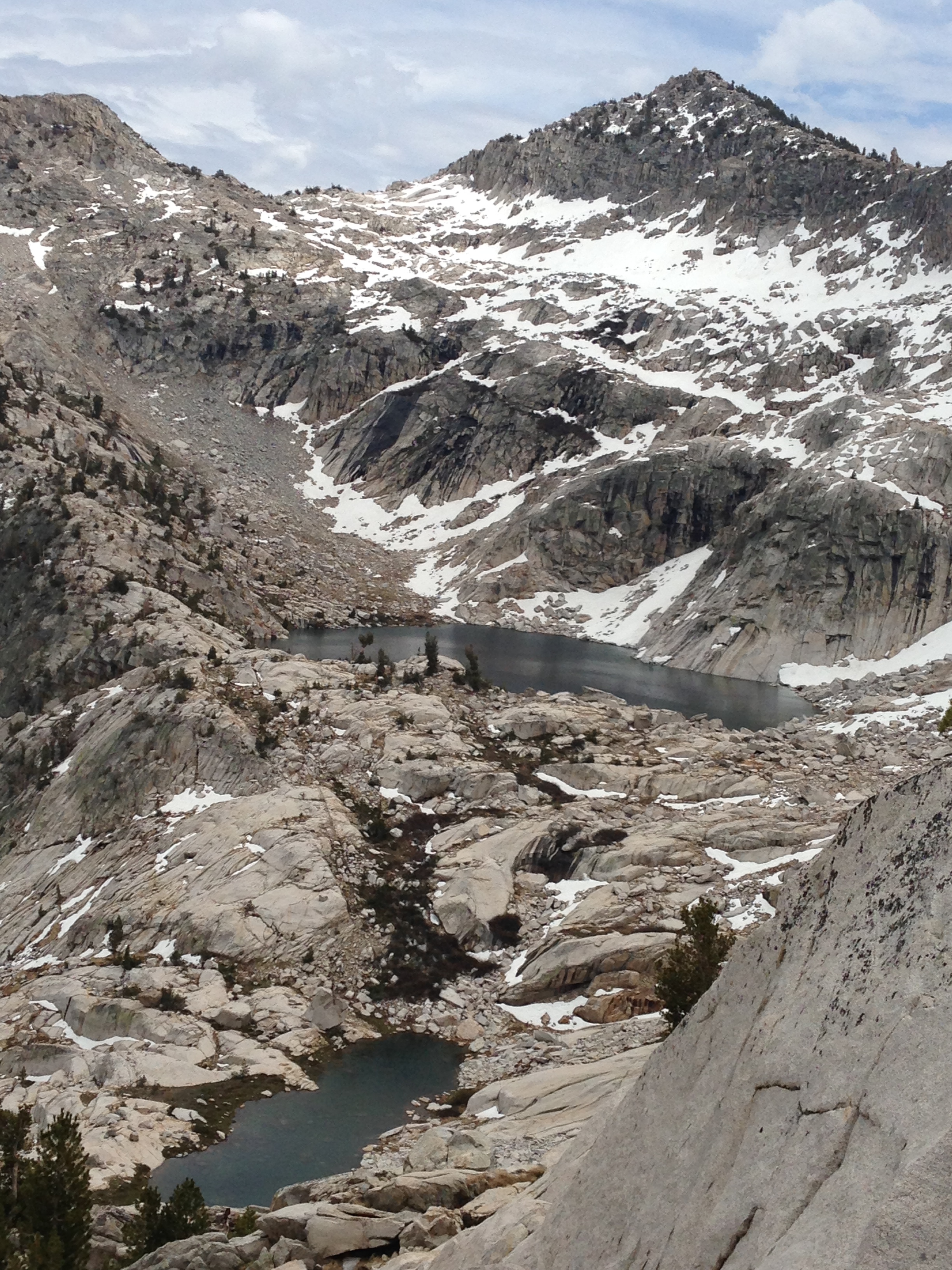
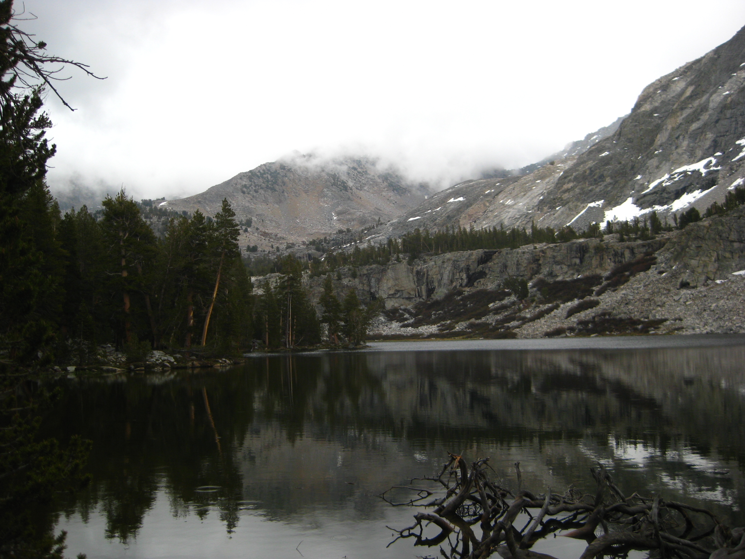
Looking down into East Kennedy Lake from the Kennedy Canyon Trail
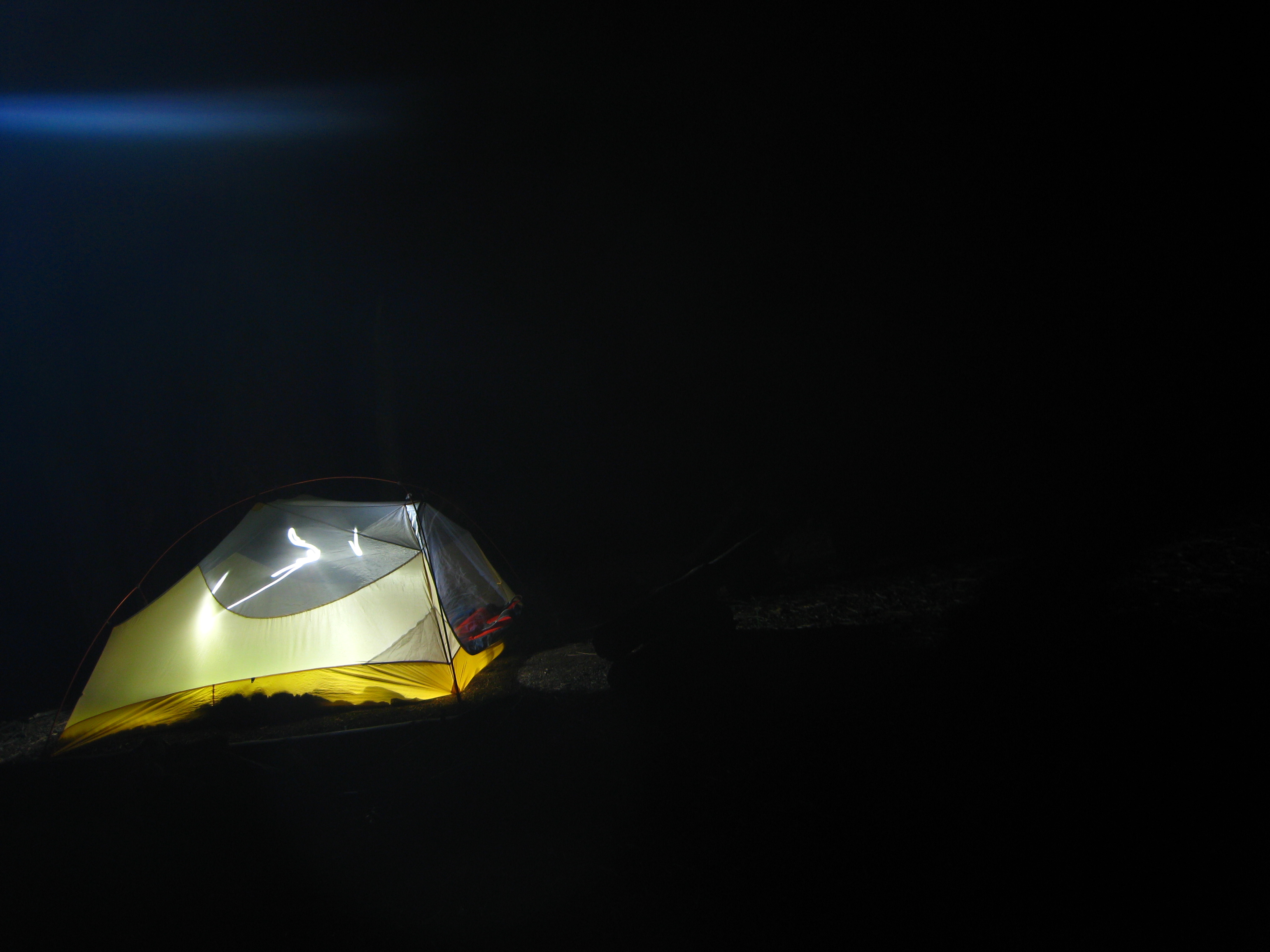
Tent at Night in Frypan Meadow
Looking down on East Kennedy Lake
The Kennedy Canyon trail is no longer maintained. As such, the trail bed is not evident about 80% of the time. The other 20% of the time, we were able to pick up remnants of the trail bed. The route is pretty well marked by cairns, cuts in the trees, and smoothly cut fallen logs. We observed horse manure in two locations, indicating that one day, someone managed to get stock down in this difficult region. We did not see any recent signs of human activity in this area.
Beautiful Kennedy Canyon Trail
Giant Sequoias
Unnamed lake after climbing out of Dougherty Creek on South side of trail
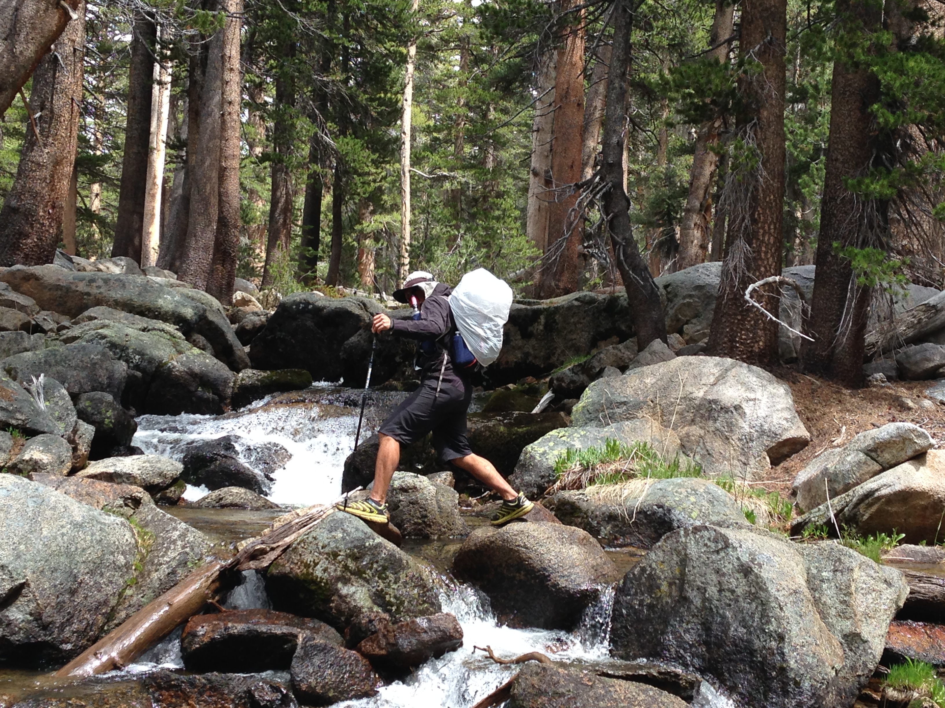
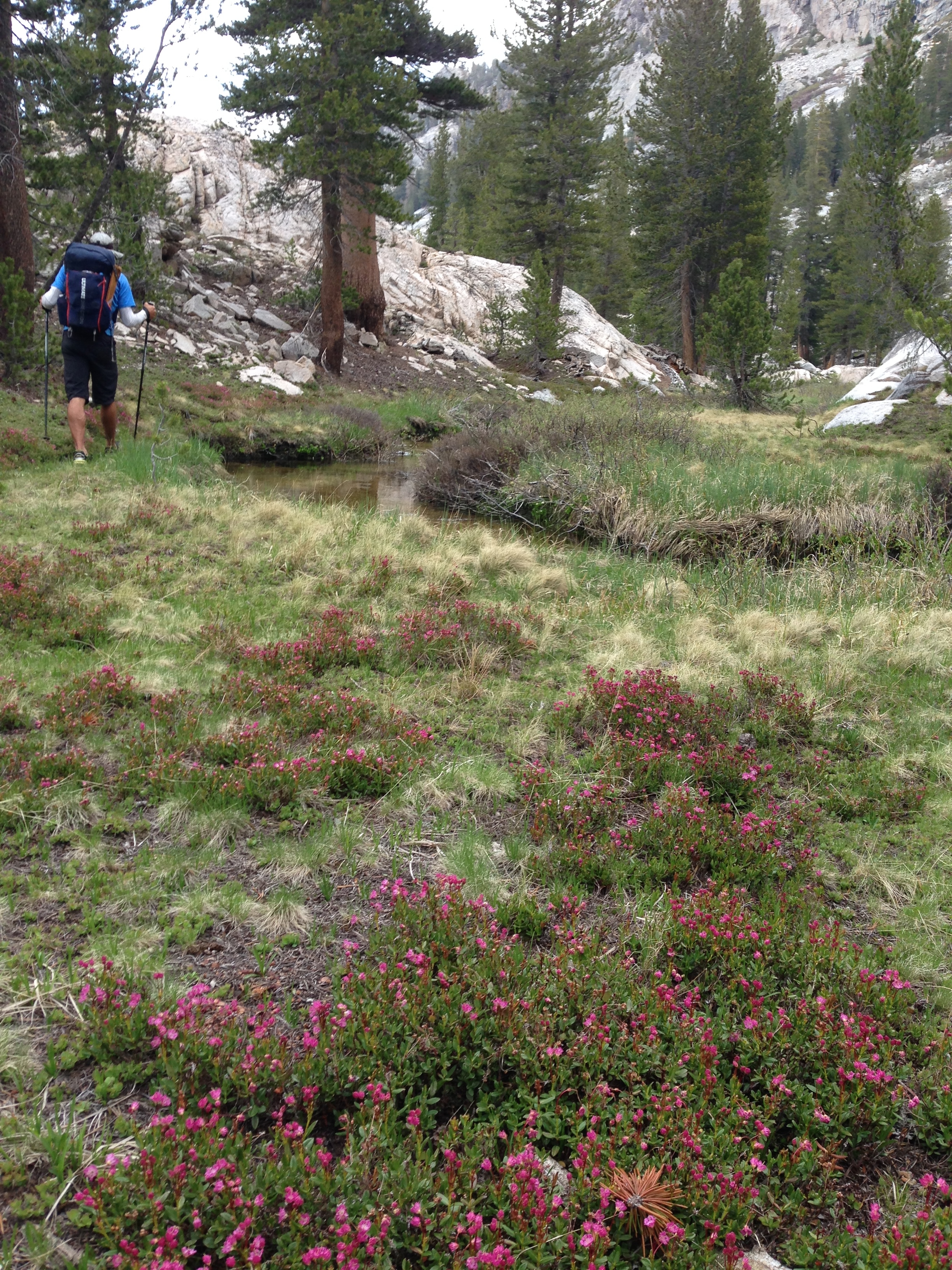
There are a number of creek crossings on this route, but it was not necessary for us to get our feet wet on any of them
The surroundings of lower state lake were fantastic! I’m excited to pass through this area again in the coming months.
Lower State Lake; we heard 3 separate very loud rock falls in the evening and morning. Each time we poked our heads out of the tent, but could not see dust or the area.
Giant Sequoia
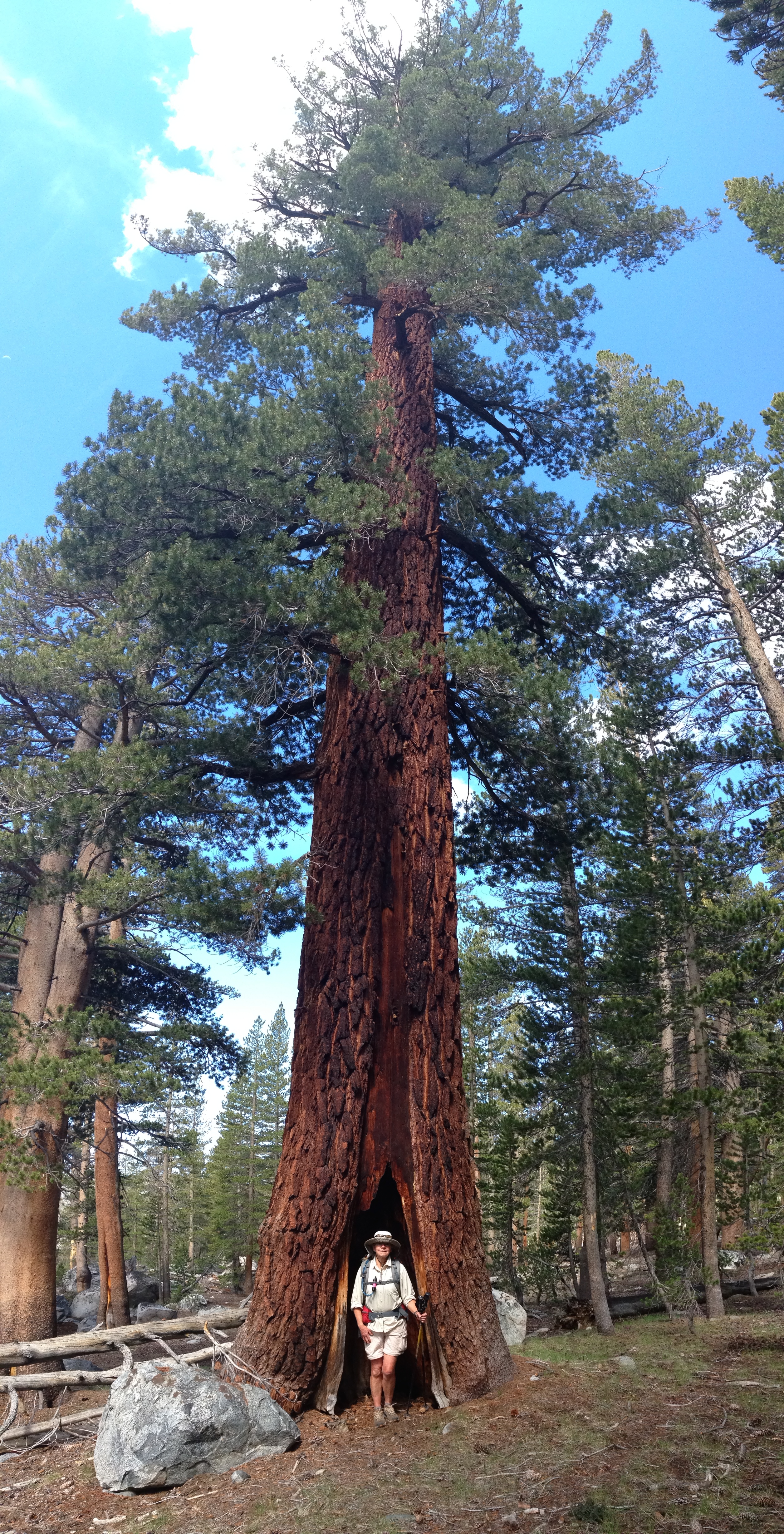
Giant Sequoia
Granite Lake from Above
Munger Peak
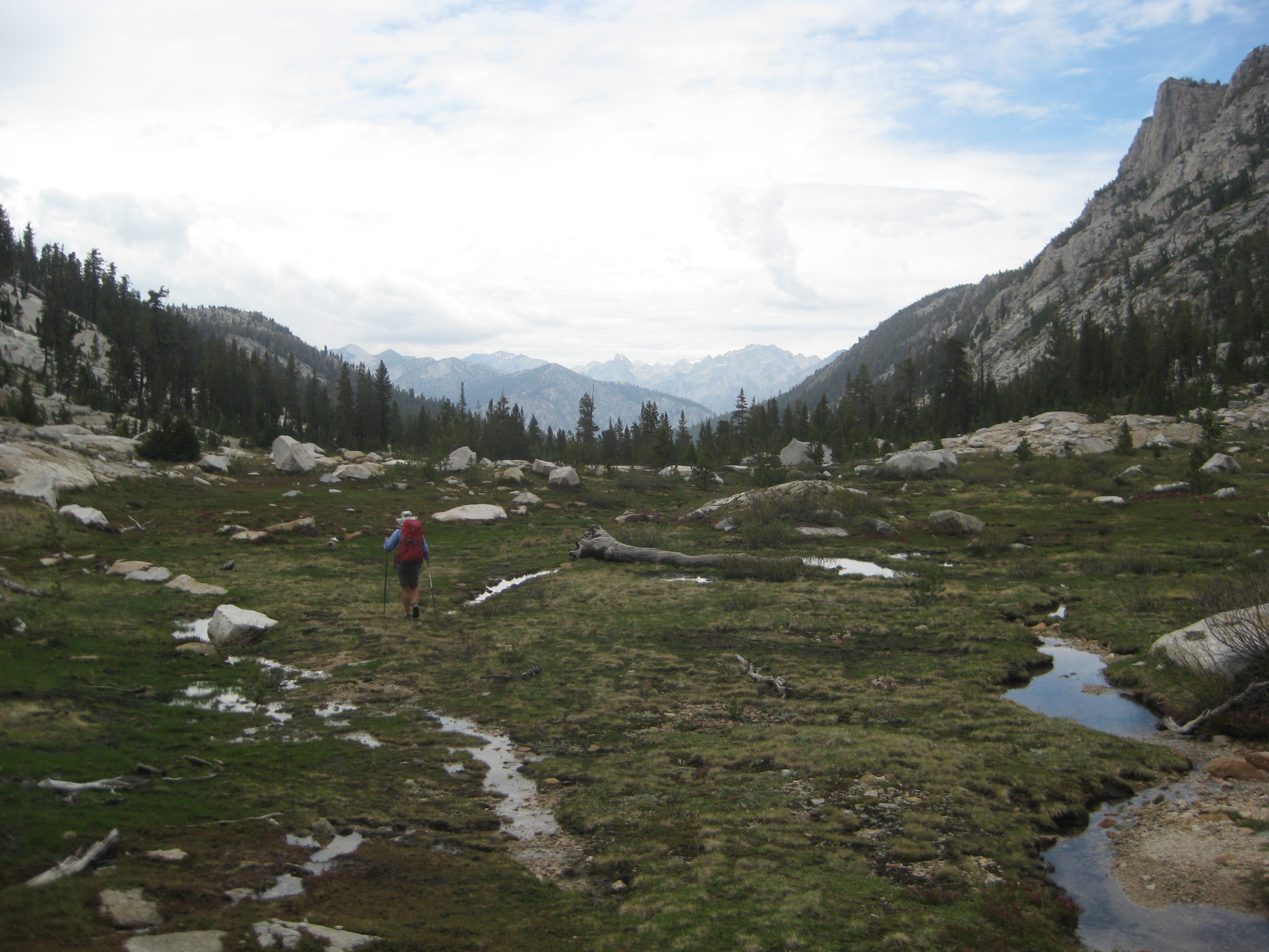
After Lower Tent Meadow, you get some great views of Kings Canyon
The trail between Zumwalt Meadow and Roaring River Falls seemed like a logical route to continue on trail, but there were hundreds of downed trees for 3/4 of a mile. This made for difficult passage, and I would recommend going around on the road at this time.
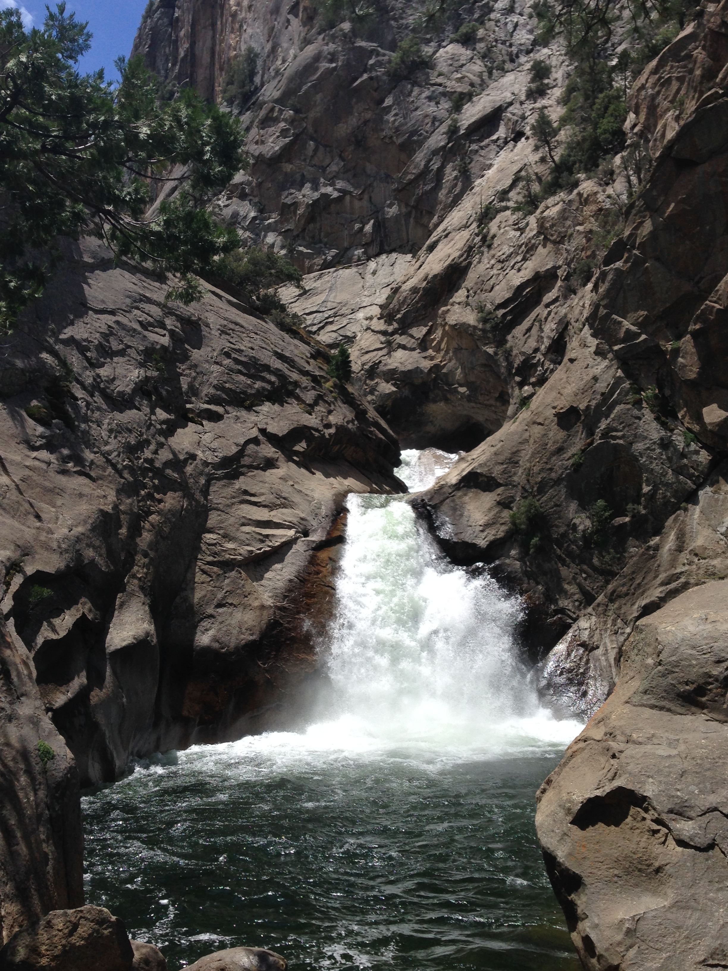
Roaring River Falls is an easy detour off the main road if you’re not on the trail. We saw a youth jumping repeatedly from a 20′ high ledge on the left hand side of the falls into the cold water.
This is the map for the entire route discussed in this post. To Export GPX files, click on the three horizontal bars in the upper right hand corner of the map and select Export selected map data…
To see full screen, click here (opens in new window)


Did you do this as a 4 night trip?
Thanks for posting your pics! Many times when younger we did the 30 mile loop up Lewis Creek trail to Fry Pan Meadows, then up and over Kennedy Pass, on down and over to the Upper Volcanic lakes, and then up, around, and back down the trial into upper King’s Canyon at the end of the highway and where the box canyon ends. Woohoo! 60 lb packs, 2800′ in elevation, and 7 torturous miles from the trailhead to Fry Pan! Note: there are small, edible trout in both Lewis and Cobb creeks, if desperate…
The Cedar Grove of the KKNP area remains one of CA’s still-pristine hideaways….and my FAVORITE place to surprise even lifetime CA residents with.
If you’re in the area and have a sporting nature for adventure….an even rarer “hideaway” is the feeder-creek waterfall and natural granite-bowl swimming hole that only the locals and docents at Boyden Cave use. in the HOT summer….a circular pool that you can climb up next to and then dive into, that is a little piece of Hawaii along the King’s River.
NOTE: You must wade across the King’s River to access, and only after parking your vehicle about 3 road curves back up the road from the Boyden Cavern parking area towards the Lewis Creek Trailhead, on the highway below Cedar Grove.
Do not attempt crossing the King’s River until the flows have slowed-down in late July or August……and you WILL see warning signs along the riverbank cautioning you against entering the river….and when the outside summer temp of 100% will be enough to sustain you after each jump or dive into that C-O-L-D-! water!
If the conditions are safe, the King’s will only be about 2 – 3 feet deep all the way across to where this feeder-creek empties into the King’s…and after crossing carefully, you just walk up the little creek’s incline and then gasp as you see a perfect, surreal swimming pool created by a small waterfall. It has been 20 years since I last did this….but if you planned correctly and the river and summer HOT weather conditions are optimal…you will probably see a car, or two cars parked along the King’s where YOU need to park, and after wading across the King’s, find a few locals enjoying this unbelievable, unknown little gem.
Take your camera!…but make sure it is one you can live without, if you drop it in the River because of a careless stumble when crossing!