Grand Canyon of Tuolumne
You can backpack from Tuolumne Meadows to White Wolf Lodge as a point to point backpack through the Grand Canyon of the Tuolumne. This trip is a real treat, and can also be done as a loop or an out-and back. The aesthetic of the point to point appeals to me, so we managed to return to the car with a facile hitchhike… but you can also take a shuttle bus from the White Wolf Lodge to Tuolumne. Here is the schedule. Other than that, logistically, it is very easy. You will want to arrange permits ahead of time online, and then you will be required to pick them up in person at the Tuolumne Meadows Wilderness Center. We did the 36 mile trip in 4 days, but it could easily be done in 3 days.
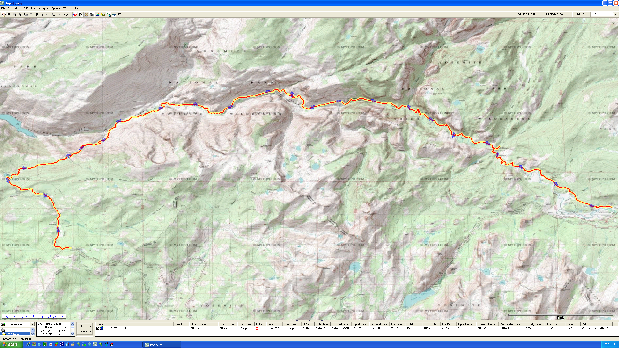
This is the overview of the route we took. It starts at Tuolumne Meadow (parking lot near Lembert Dome), and ends at White Wolf. To make this a point to point, you can take a bus from White Wolf back to Tuolumne Meadows, but the schedule is sparse – especially later in the season. We were looking at a several hour wait, so I walked to the highway and within a few minutes hitched a ride back to the car.
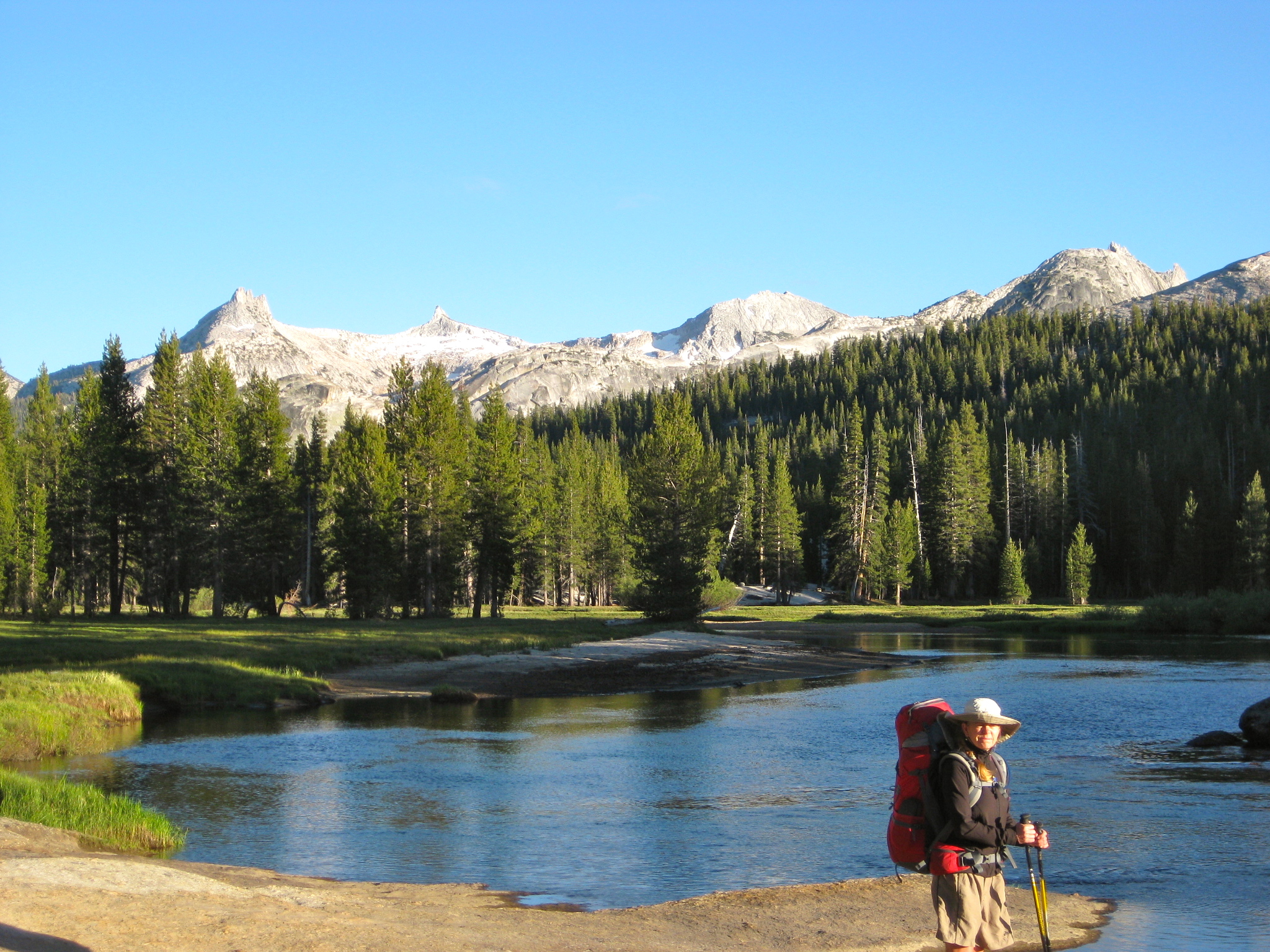
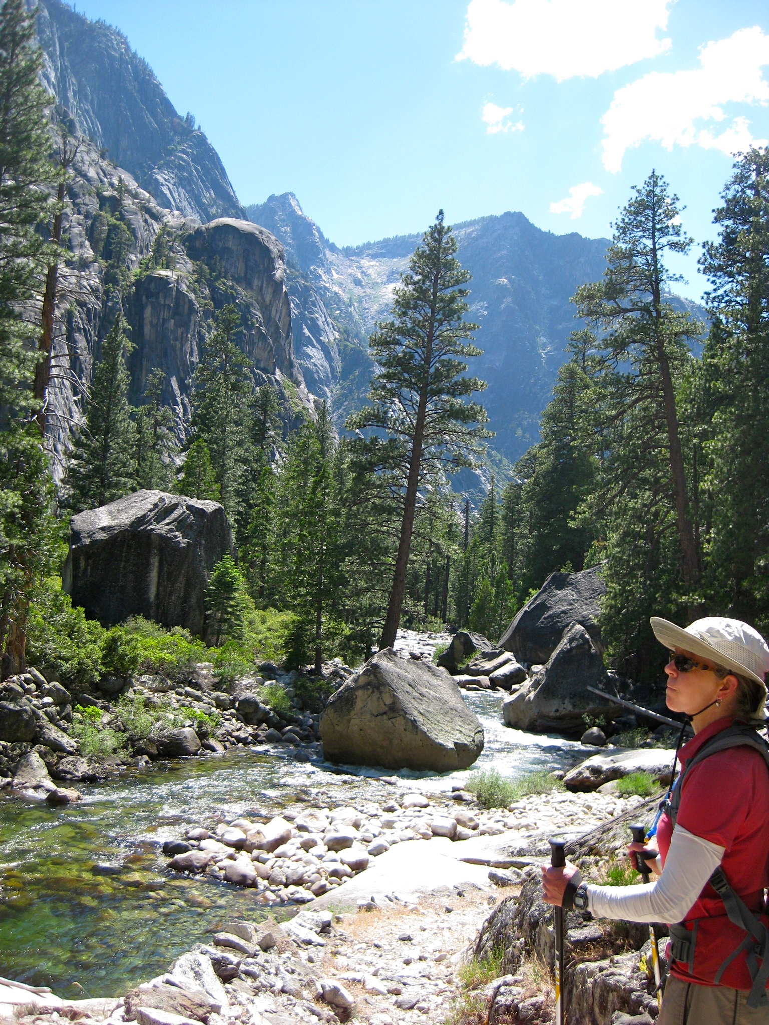
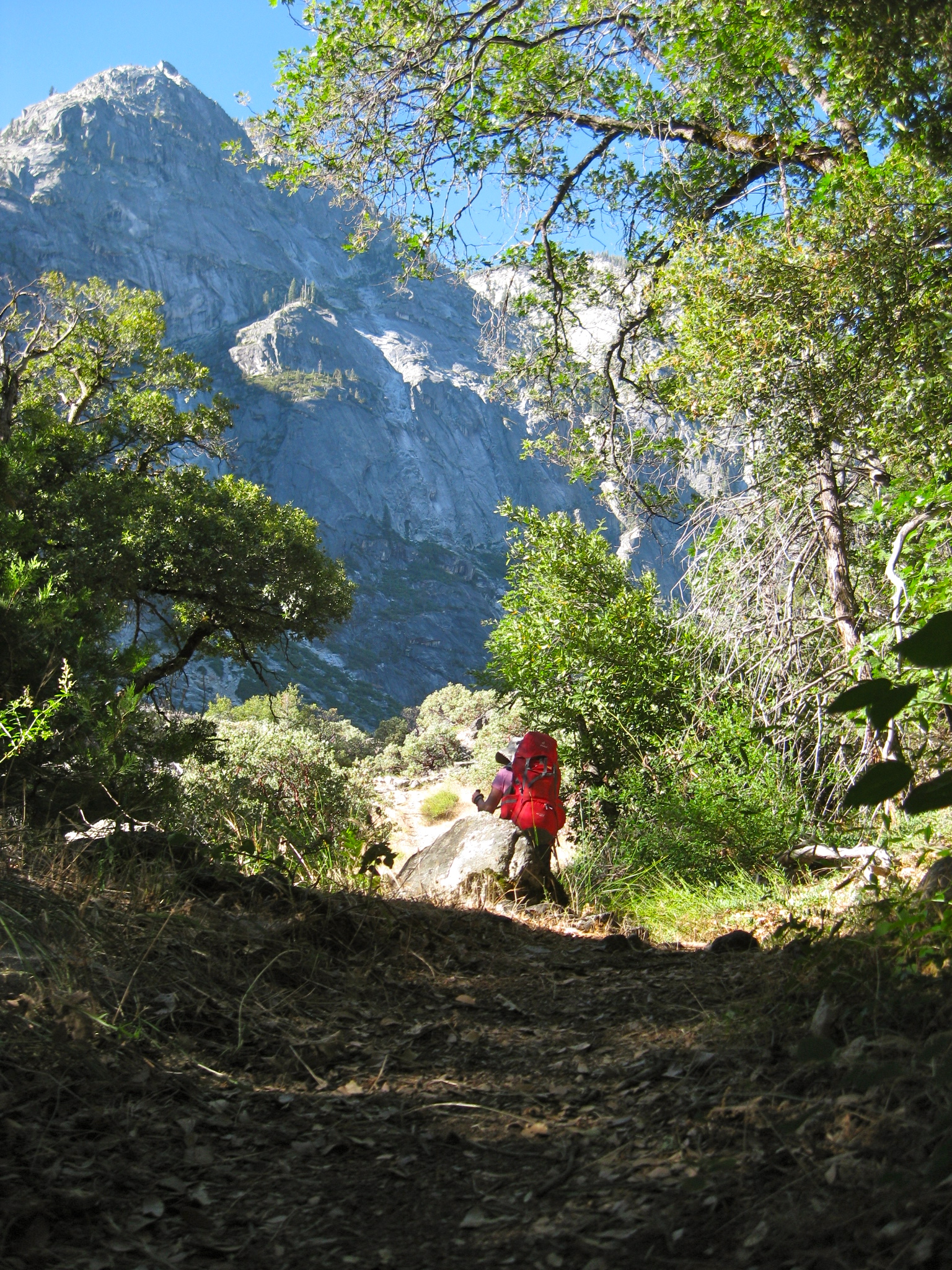
Immediately after leaving the parking lot, you find yourself walking beside the beautiful Tuolumne River
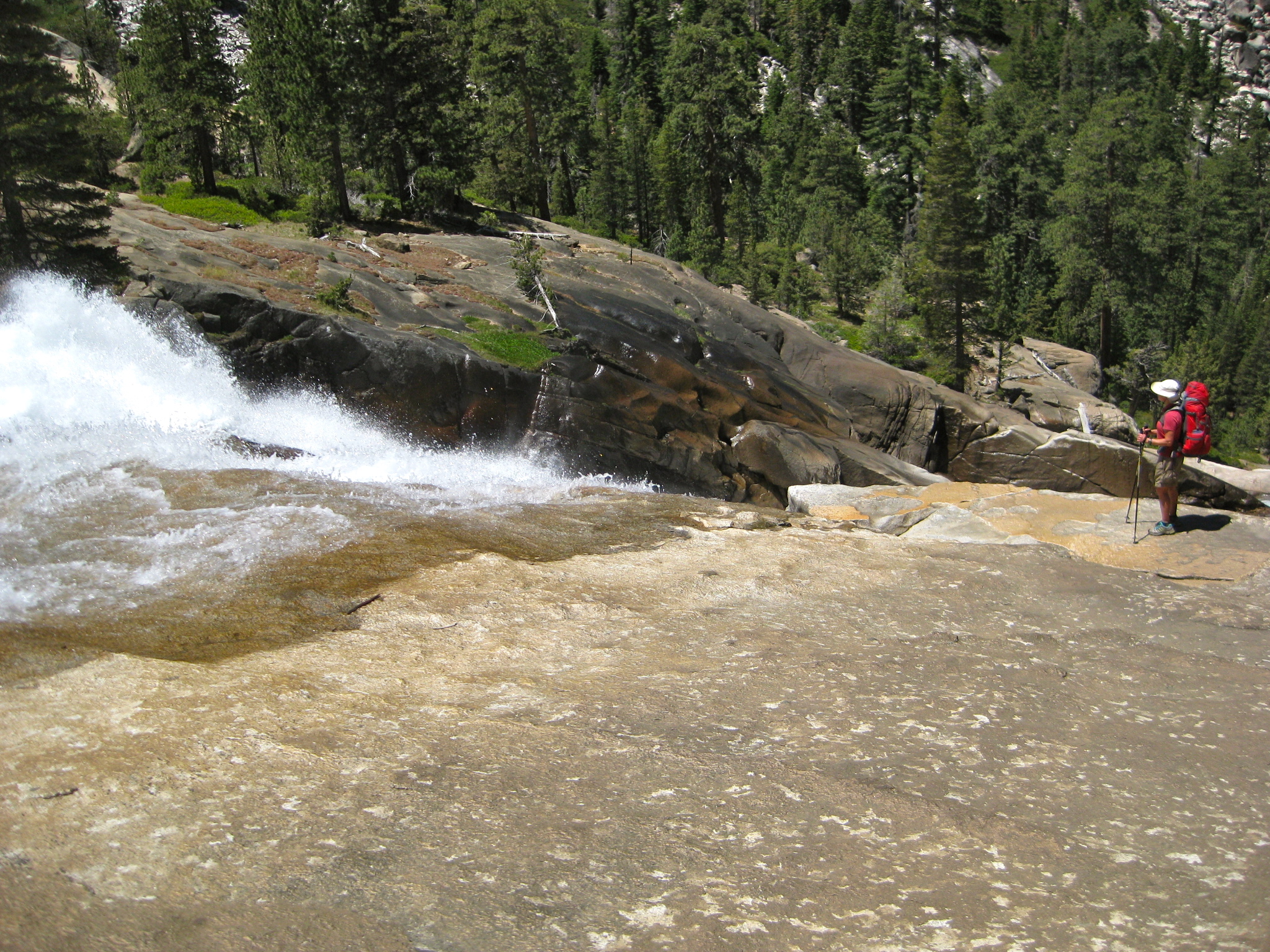
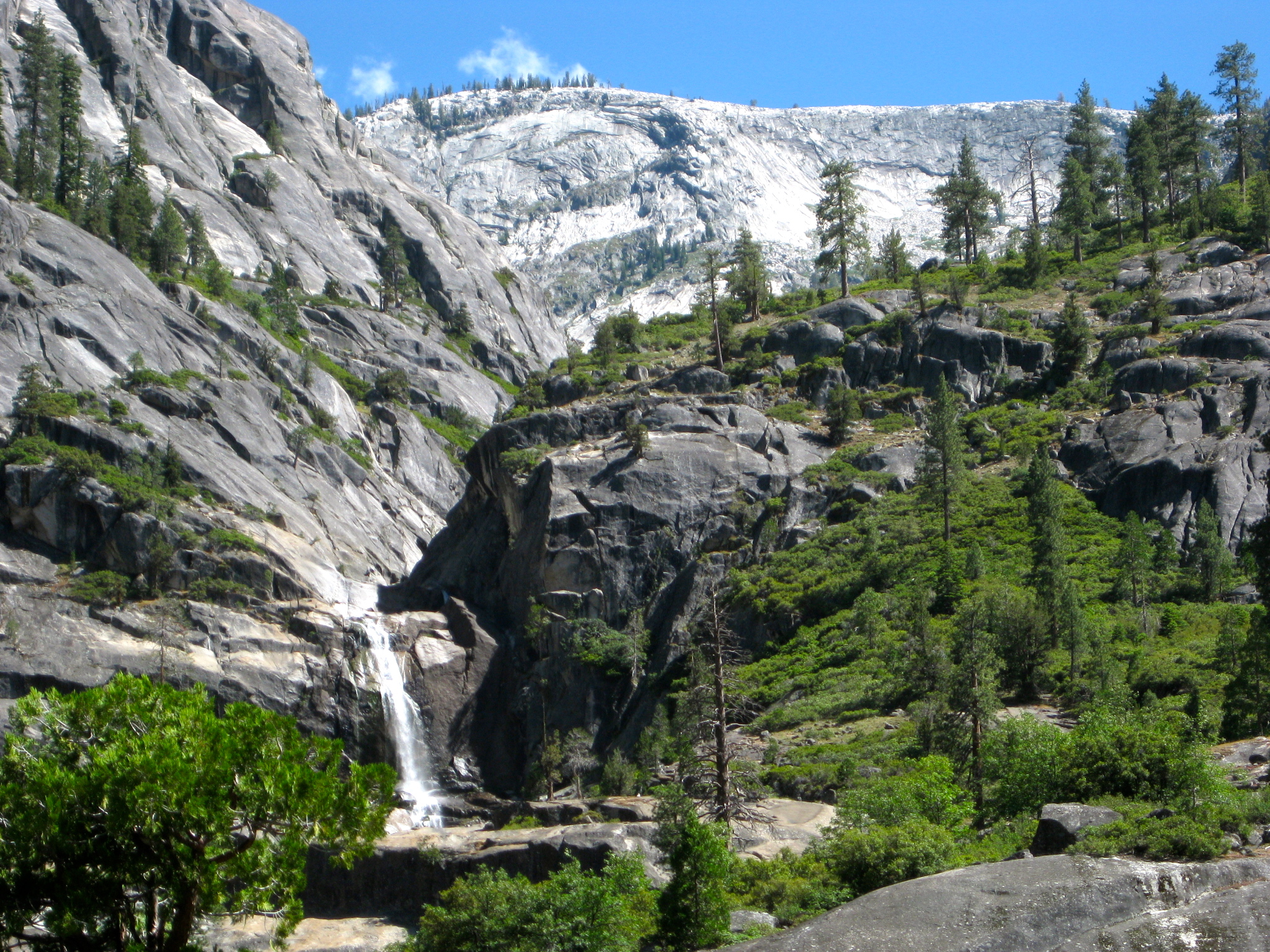
The Tuolmne River produces some good falls as you head towards Glen Aulin, such as Waterwheel Falls.
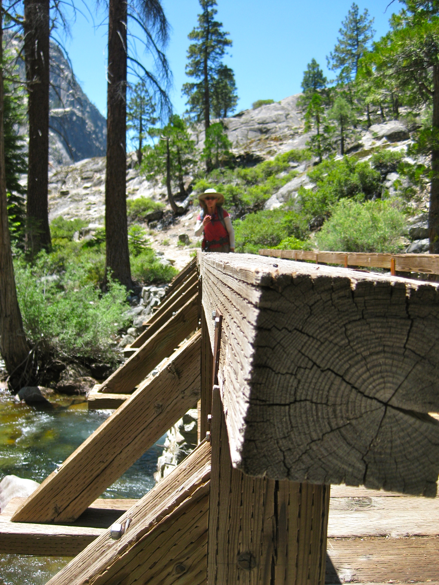
Fortunately, there are some bridge crossings over the Tuolumne River.
This is an area where the canyon gets more narrow – right near the confluence with Cathedral Creek.
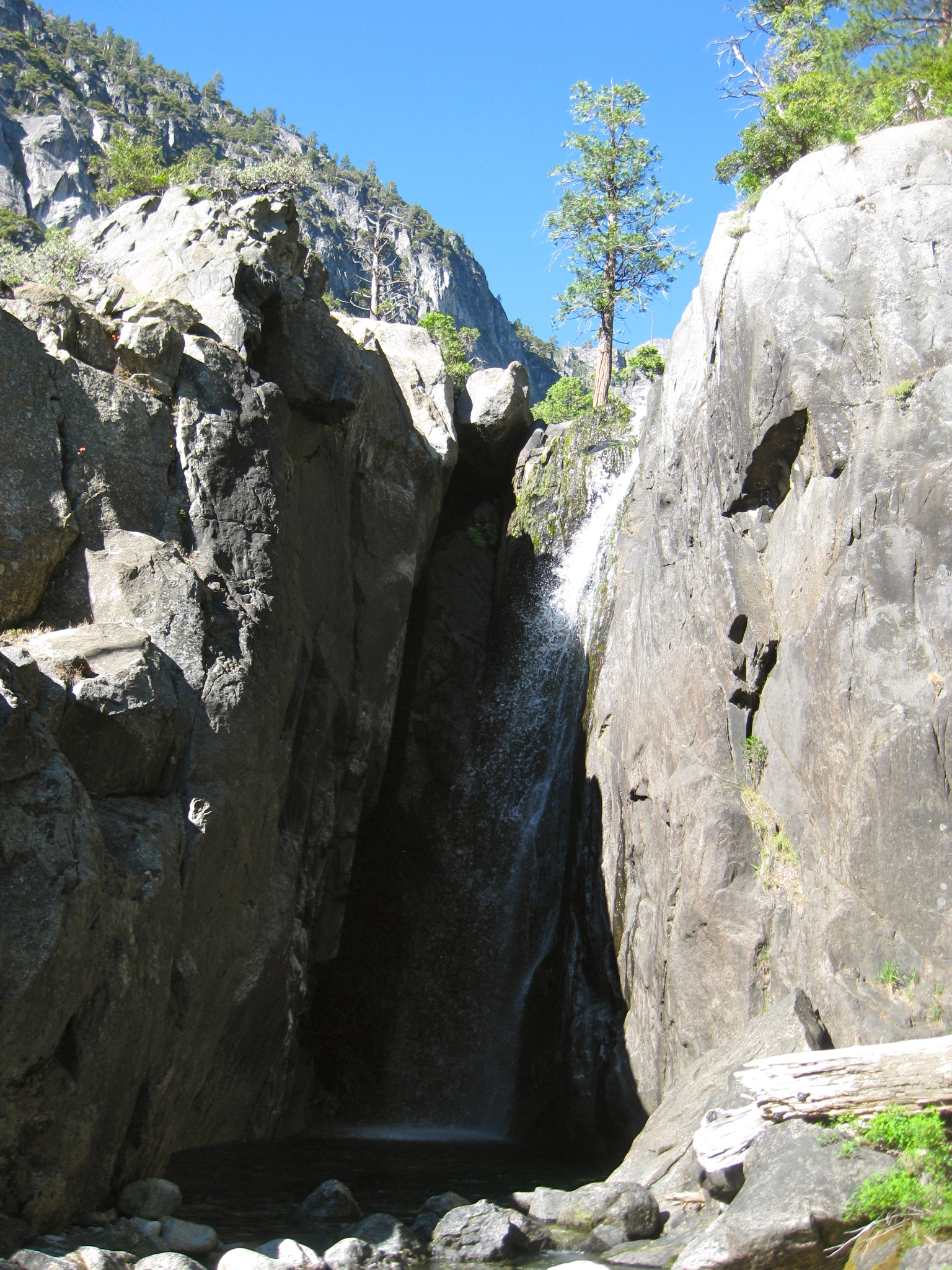
Falls at Cathedral Creek
The view from within Muir Gorge
Falls at the Confluence of Register Creek and Rodgers Canyon
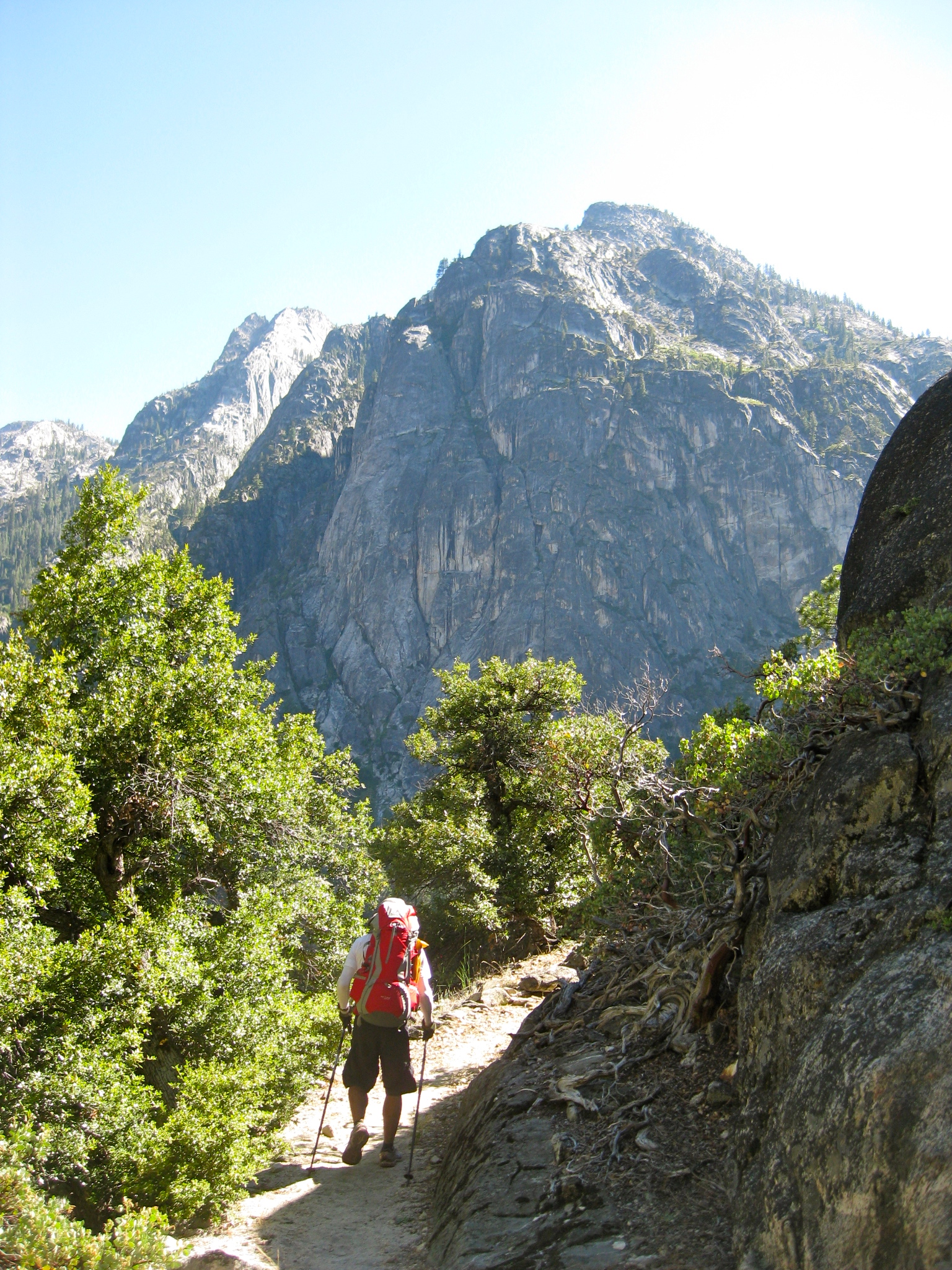
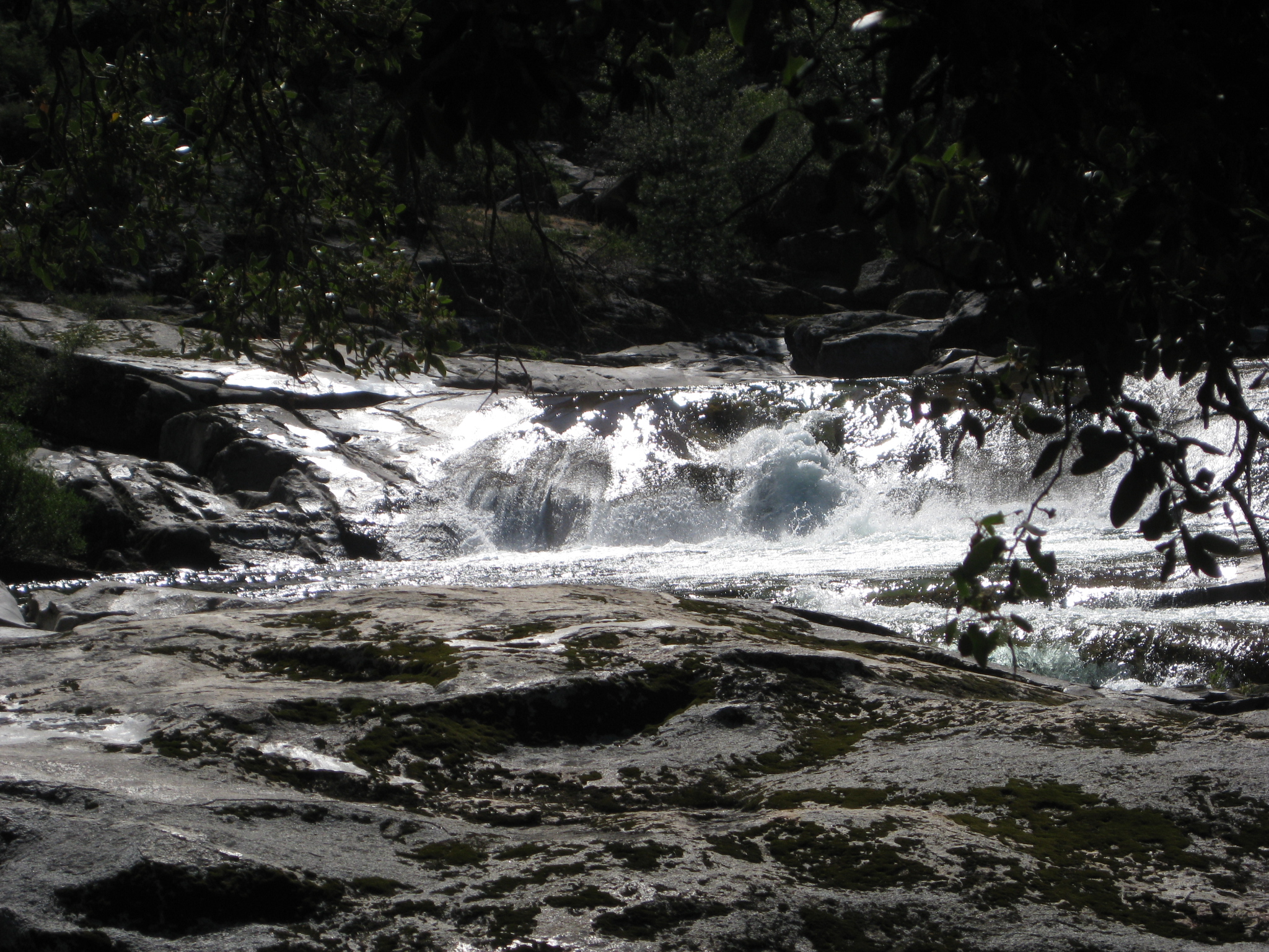
More views in the Grand Canyon of the Tuolumne
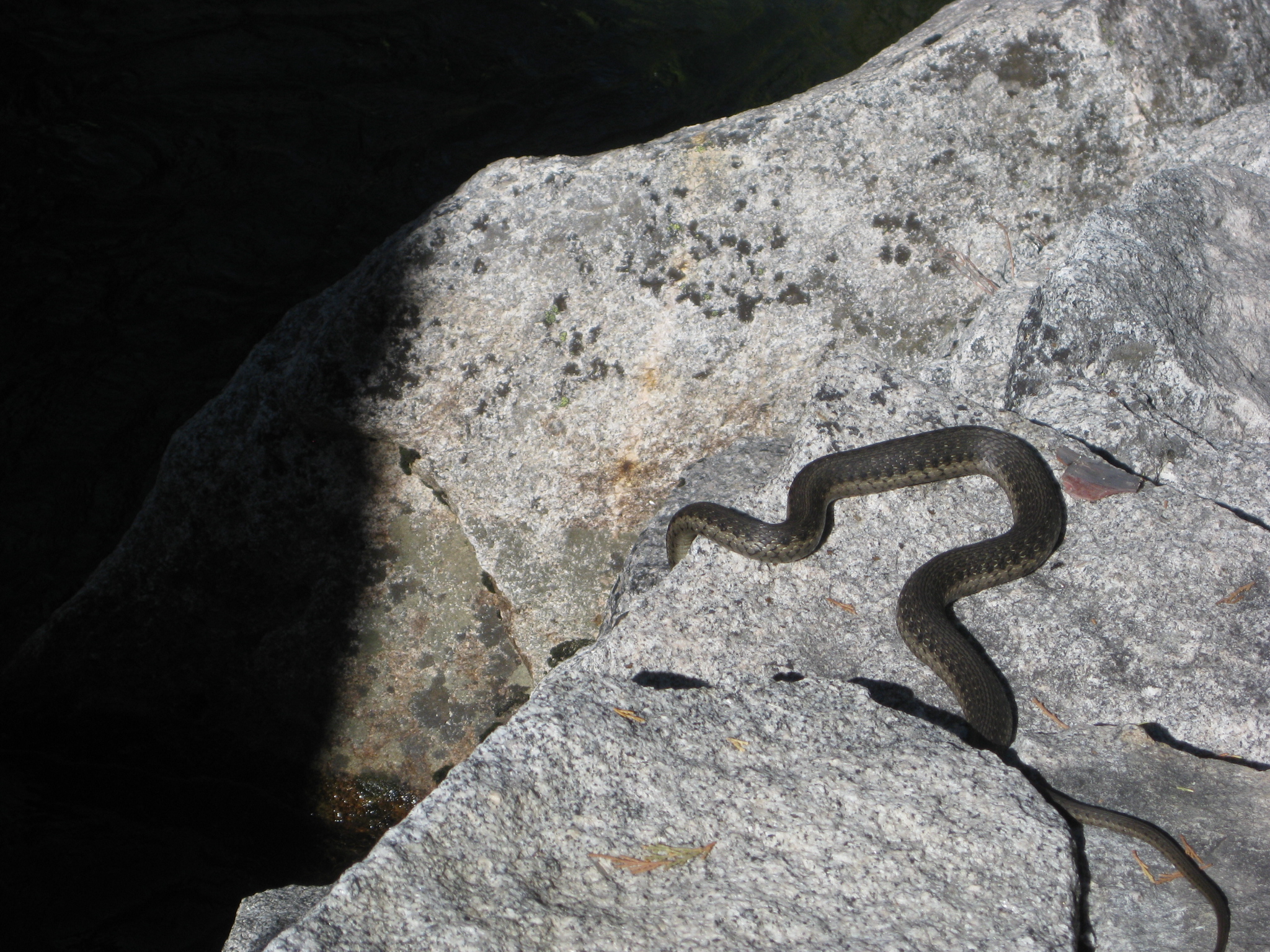
We were surprised to see a water snake swimming along
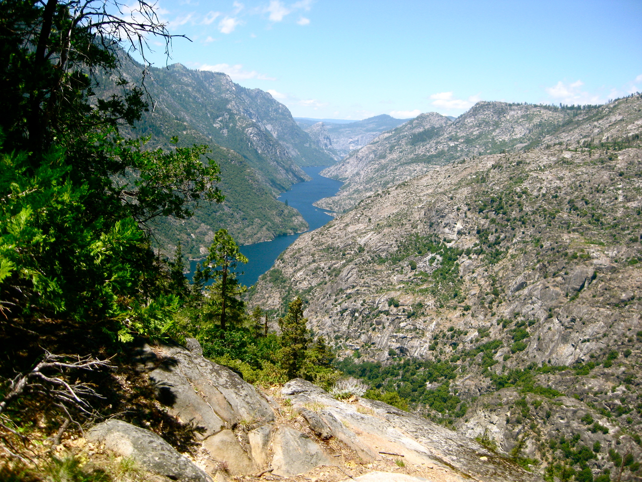
You leave the river and start heading up the Morrison Creek drainage at the head of the Hetch Hetchy Reservoir. Here you can see Hetch Hetchy in the distance.
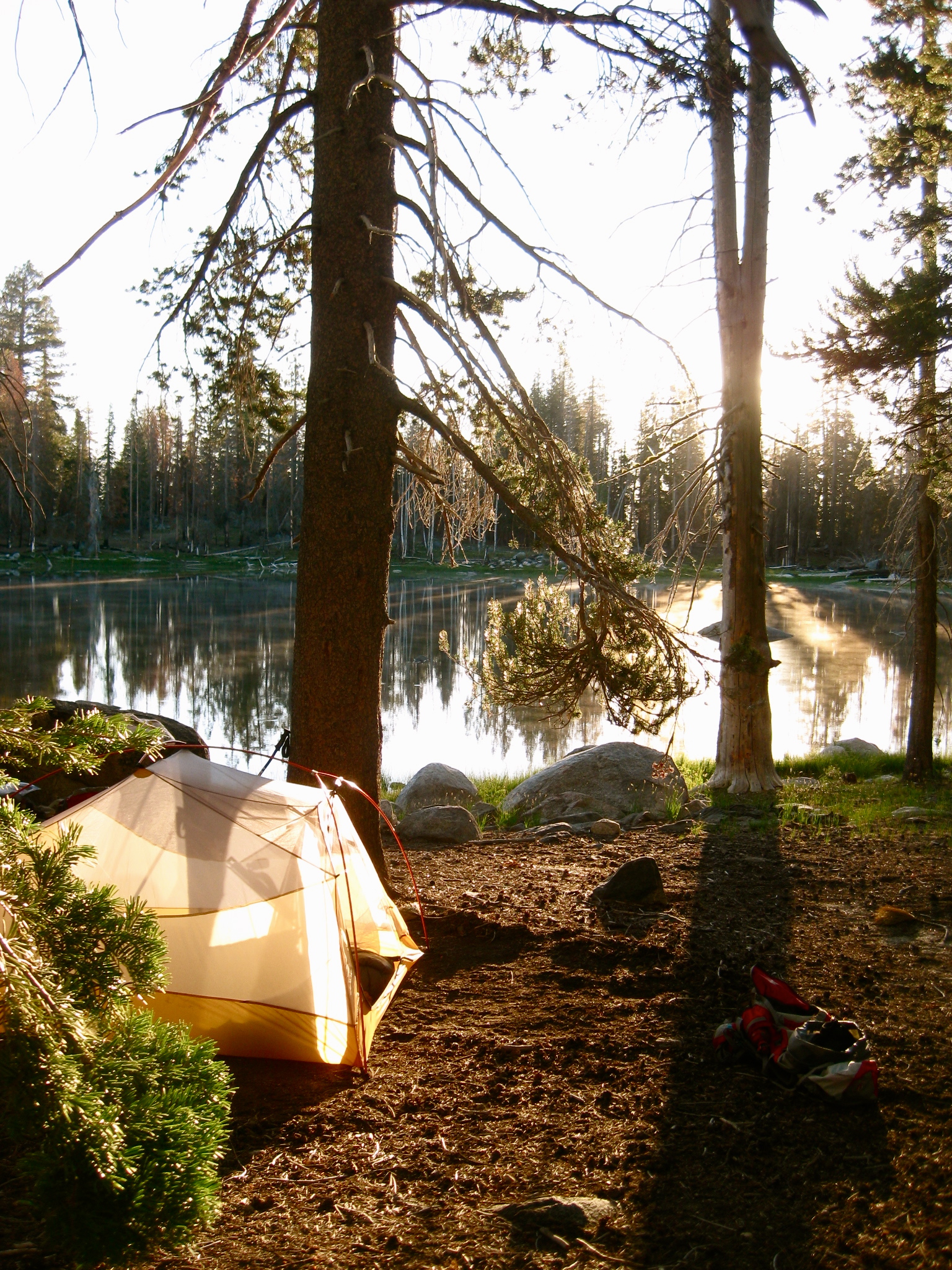
We camped at Harden Lake, which was beautiful and deserted. This was a slightly late-season trip, and the camping was spectacular!
This is the map for the entire route discussed in this post. To Export GPX files, click on the three horizontal bars in the upper right hand corner of the map and select Export selected map data…
To see full screen, click here (opens in new window)


Hi Brian:
We are hiking from Tuolumne to White wolf, which seems your exact route. We start on 8/31 and have four days. Looks like a great route, so I’m excited. Any thoughts? Thanks – Brek
Brek –
I spent some time trimming out the areas where I had stopped. When you stop, the GPS records many points approximately at the same location. Eventually, these add up to phantom mileage. I trimmed out nine chunks of this, and then I trimmed out one errant point. The rest looked good. I then Added a waypoint every mile, and took two high-res screen shots. They are attached. Even with the trimming, the mileage only got down to 32.7 miles. One thing about Glen Aulin – the backpacker’s camp is a little ways in (see 6 miles). It’s not at the same spot as the High Sierra Camp. Looks like you are off by mile 8.5, which may be related to the part going into Glen Aulin Backpack camp…
I say, tell them 33 miles, and see what they say!
Best,
Brian
On Jul 22, 2015, at 9:49 AM, Brek wrote:
Hi Brian:
Thanks so much for your reply.
I got the mileage from two sources: Trail guides @ Yosemite, and using Google maps. I know their is a variance % using a tool such as that, but was surprised it’s that much. I think it’s only a mile form White Wolf to Tioga, yes?
So this is why we double check stuff! I don’t mind for myself, but for my newbies, I’d hate to tell them it’s on X miles, and it turns out to be 30% error!
We start hiking on Monday 31st, so only about 5 weeks away!
This is what I worked up using my Topo and Google Maps: Any idea where my errors are?
0.0 – Start at Lembert Dome Picnic Area, start hike on service road. 🙁
1.6 – Cross Delany Creek
1.9 – Trail splits. Stay left to Glen Aulin
2.9 – Dingley Creek – an Alluvial Fan!
4.3 – Cross foot bridge over Tuolumne. Yay!
5.3 – Glen Aulin. Reliable water here.
6.5 – unnamed creek crossing
8.5 – Confluence of Return Creek and Tuolumne River. Crossing of Return Creek
6.8 – California Falls, should be impressive sight!
8.1 – Waterwheel Falls, should be impressive sight!
8.6 – Confluence of Return Creek & Tuolumne River
10.8 – Cathedral Creek (opposite side of TR)
12.8 – Rodgers Canyon (lot’s of water, rocky)
16.3 – Pate Valley. Nice place with shallow water for swimming.
19.5 – Morrison Creek (should be water)
20.8 – Trail splits stay right to Harden Lake and White Wolf
22 – Harden lake Swim! no water between Morrison Creek
22 + 500 feet Trail merges, go Left to White Wolf.
22.5 Merging trail, continue straight, slight left jog.
25 – White Wolf Campground
On Jul 22, 2015, at 12:43 PM, Brian wrote:
Brek –
Good questions. I reviewed my GPS tracks, and added them up to 33 miles. That’s the distance from Lembert Dome Parking to White Wolf Campground. My total GPS track was a little longer because we went to the highway (making it 36 miles)… I don’t see how you could make it any shorter. The GPS track looks pretty honest too: no errant points. Where have you seen it posted as 25 to 30 miles?
Obviously you now best about the capabilities of your group. Sometimes, climbing is a more important factor than mileage. People can be humming along on flat ground (or slight downhills) without noticing it. Then they hit a climb, and suddenly the notice that they are doing work. This first half of this trip is pretty easy: downhill, along beautiful and varied scenery. The second half, you pitch upwards, and you have views of Hetch Hetchy – but they don’t change quickly! Also, it is somewhat forested, obscuring the view slightly. If the people are mentally prepared for this, it might help.
Best,
Brian
On Jul 22, 2015, at 8:35 AM, Brek wrote:
Hey Brian.
Great web site. We are hiking from Lembert Dome parking lot to White Wolf Backpackers campground, via the GCotT trail.
I’m getting a range form my mileage estimates: from 24.5 to 30. Can you clue me in? I checkout our your GPS mapping and I think you came in at over 30 miles.
Any clarification you provide would be appreciated. I have a group of 8 that I’ll be leading. Got a couple newbies, and I’m just trying to be careful of their capabilities.
– Brek