Bike Touring Colombia – Santa Rosa de Cabal to Ibague
Climbing. The grade is steep, but the road is paved. The air is warm and humid, and I ride with my shirt off. The opaque sheen of heavy rain looms in the Cocora valley – our trajectory. Suddenly the first large drops hit. Although the impacts hurt, the initial vomit of rain feels good, cooling my overheated skin. We pass a wall-less building under construction as we head into the gray abyss. In an instant, the surface beneath us is no longer pavement, but a river flowing against us. What are we doing, I ask myself, suddenly sweeping the 8 foot long tandem into a U-turn like a boat back to the harbor. As we jump off the bike splashing through the wet grass, a dozen people are swarming the building from different directions, climbing the small wall to get under the large, completed roof. As we join them dripping on the platform, it takes a few minutes to take stock. Who are these people around us? Are we even allowed to be here? What the hell am I doing in a rain storm with no shirt on?
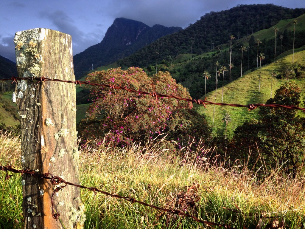
At the edge of Colombia’s Coffee Triangle, within the Cocora Valley, you can get up close to the Wax Palm. These palms can grow up to 200′, and are the tallest palm trees in the world.
Colombia’s Coffee growing region lies on the humid side of the Sierras at the sweet-spot elevations for coffee ranging from 1,200 to 1,800 meters. The region is bordered by an imaginary triangle formed by the cities of Pereira, Manizales and Armenia. It is not the only coffee-growing region in Colombia, but it is the most expansive – and popular to visit. Here you can arrange coffee tours as well as the full gamut of touristic type adventures (zip lining, finca tours, etc.) This region is thriving in tourism, and it shows up in higher prices and difficulty in finding a place to stay.
Maybe you won’t be surprised, but every single cup of coffee I’ve had here in Colombia has been instant coffee. It’s likely that the Colombian beans were shipped overseas, roasted, steeped, freeze dried, packaged, and then sent back to Colombia for consumption. Just like fruits and vegetables, the “good stuff” is sent overseas. Here where the bananas and oranges are grown, we find ourselves buying brown bananas and green oranges.
In spite of the lack of “good” coffee, I’ve been having plenty of instant “tinto” – meanwhile refining my theory of coffee as a “happiness concentrator.” My theory is that you’re only allotted a certain amount of happiness each day: You can choose to distribute that happiness evenly throughout the day by not drinking coffee… or concentrating it into some stronger happiness that you’re going to need to “pay back” later on. Just like matter, happiness cannot be created or destroyed. But it can be borrowed, loaned, and paid back. **This effect may not be apparent if any of these apply to you: 1) You’re a daily all-day coffee drinker 2) You’re a coffee sipper as opposed to a chugger.
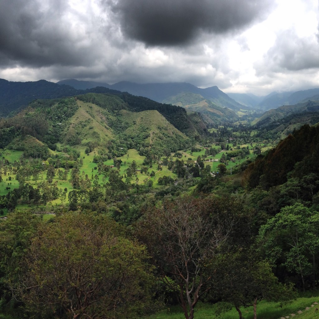
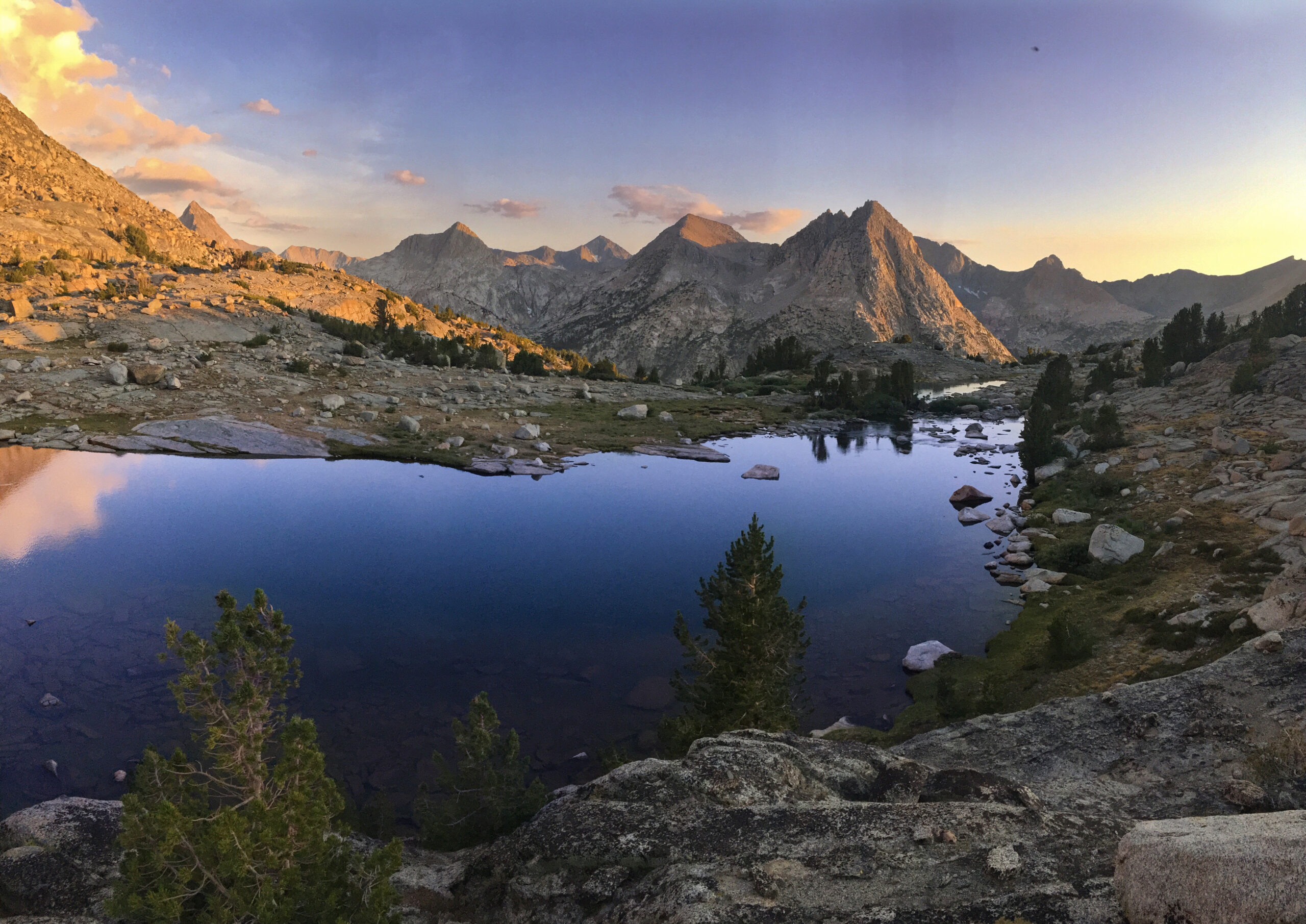
This is the Cocora Valley. The picture is taken from a mirador which some claim is the best view in Colombia. From here we saw several Andean Condors. There were some telescopes on the deck, and I endeavored to bring you a nice photo of these birds by placing my iPhone camera on the lens of the scope. Then a man told me I had to pay to use the telescope. So, you will have to use Google instead to see an Andean Condor. Interestingly, no one seemed to notice these birds except me and Janet. I guess they aren’t as big of a deal here.
Standing on the wooden platform, Janet and I started to dry, and people began to ask questions. It turns out that we were standing in a restaurant that was in the process of being built. This was good state for it to be in, because if it had been completed, 14 wet and muddy souls running in would have made a pretty big commotion. Our companions were 3 guys who had been picking avocados in the nearby orchard, 2 vaqueros who had been riding milk-jug-carrying horses, 3 other cyclists, and 4 guys who had been building the restaurant. The two horses with milk jugs lashed to their sides stood in the rain with their heads down. I’m sure our tandem bike had it’s head down too. The cows in the field across the way just stood there frozen – heads down – as the rain beat upon them. I felt sorry for the animals, but also spent a moment thinking how all of us (humans and animals alike) are quite vulnerable to an element so common as rain. That vulnerability connects us in a way…
And that’s how we came to be connected with the random group of folks on that platform. I loaned one of the cyclists my jacket as he stood there shivering. One of the avocado workers walked over smiling a huge toothless grin – arms outstretched offering me and Janet cups of hot chocolate that he had just made over a wood fire out back. The construction workers stopped everything for over an hour to watch the rain pour down, and chat with us about topics ranging from minimum wage in the USA to their belief that the dirt road we wanted to ride the next day did not exist.
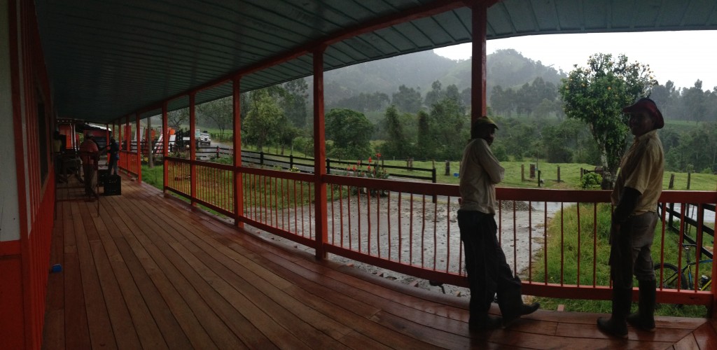
The Veranda on which we spent two hours waiting out the rain.
Eventually, work for the four construction workers resumed. One man with a big, goofy smile would sit on top of a board. The other 3 men would take 30 second rotations with a dull hand saw, cutting a 10′ long, 1″ wide strip from a long board. They asked me if I wanted to join in the rotation, citing that it would help me warm up. I thought about the nearly 2 hour break that they had taken to talk and watch the rain, and the slow progress they were making sawing these strips. How many years must it have taken to construct this building like this – by hand?! One circular saw would un-employ 75% of them!
Route Information
Pereira to Filandia
This route is “off the beaten track,” but before you follow it, realize that you might be “beaten off the track.” The intention of this route is to avoid the busy highway between Pereira and Salento. It does this quite successfully by taking you on a series of unpaved roads that descend steeply into river valleys – only to climb back out just as viciously. This route is a true test of your mettle, but you will be rewarded with quiet tracks, good scenery, and you will pass through some small villages that people rarely visit. Detailed route map below:
At the outset, you will leave Pereira on the main road – but as soon as you turn off the main road, it’s quiet dirt all the way to Filandia
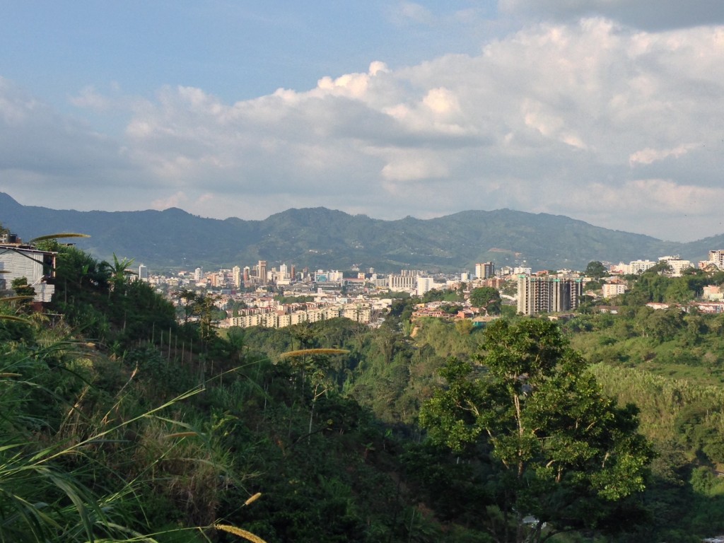
Looking back on Pereira from the departure route.
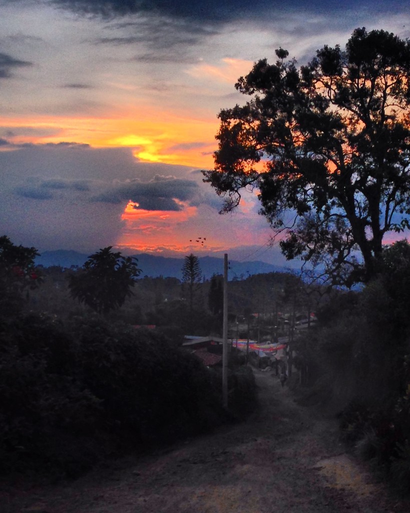
Sunset along the steep, unpaved roads between Pereira and Filandia – a great adventure route! This picture was taken coming into one of the tiny unnamed (on any map I can find) villages just above Rio Cestillal
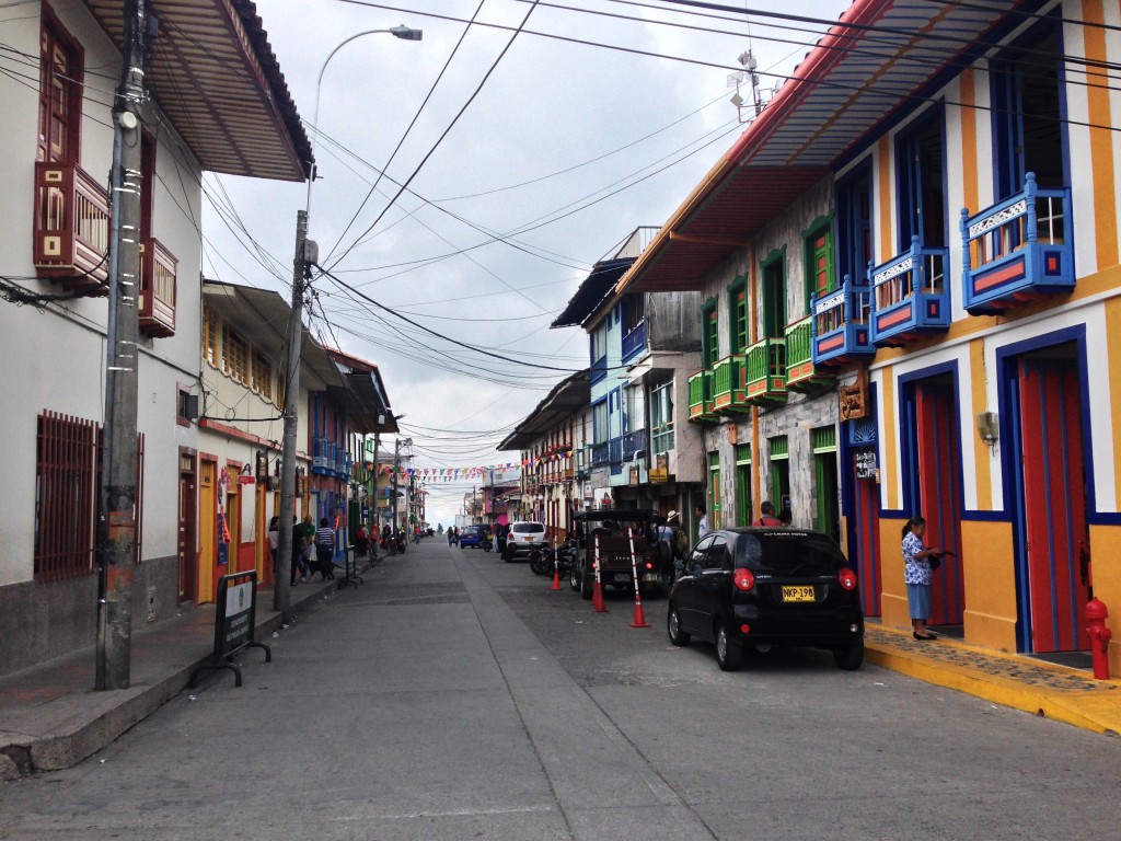
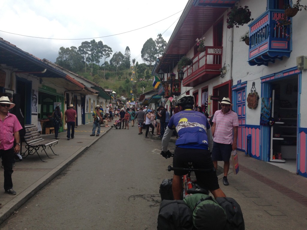
The streets of Filandia. For a while, we thought this town was called “Finlandia,” (even one of our maps had the “n” in there.)
Filandia to Cocora Valley and Salento
This route is fairly straight forward. Although it is on main roads, the traffic is light. Unlike the route above, it is almost entirely paved:
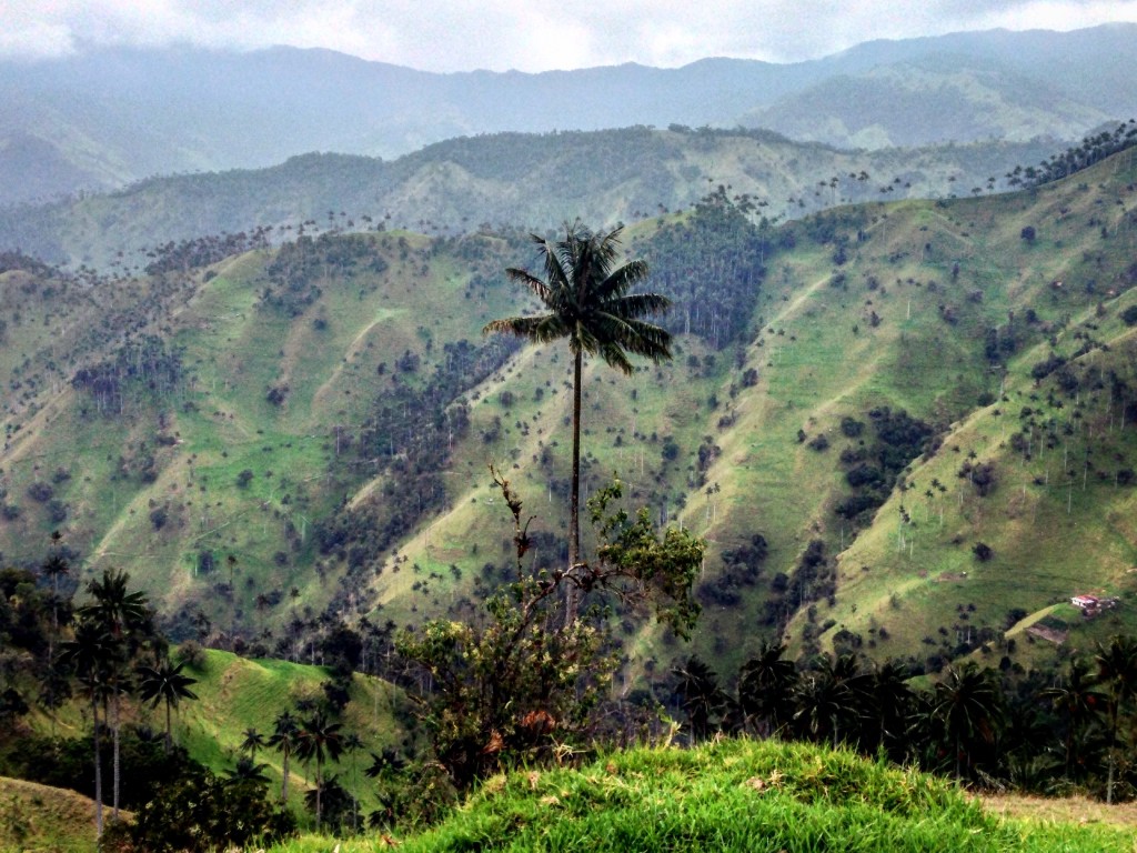
The wax palm, seen here, is the official tree of Colombia. It is also the tallest palm in the world, reaching up to 200′. The Cocora Valley is famous for these trees, but you can see them in much greater numbers one valley over – along our Salento-Toche-Ibague Route.
Heading up to the mirador (lookout) in Salento. This lookout gives you a great view of the Cocora valley.
The premises of “Hostal Arabia.” The hostel is located on the South side of the road about 4 kilometers after you leave Salento heading towards the Cocora valley. Not only was the staff friendly and welcoming, but the price of the hostel was much lower than rates in Salento or at the end of Cocora valley.
Salento to Ibague via Toche
Many people we talked to were unaware of this superb cycling route between Salento and Ibague. They told us to take “La Linea,” The name given to the main highway that connects Armenia with Ibague. We had an inkling that this route existed from our map, but had no idea what to expect. There was one village named on the map: Toche. We packed up enough food for 3 days – just in case – and headed off into the unknown.
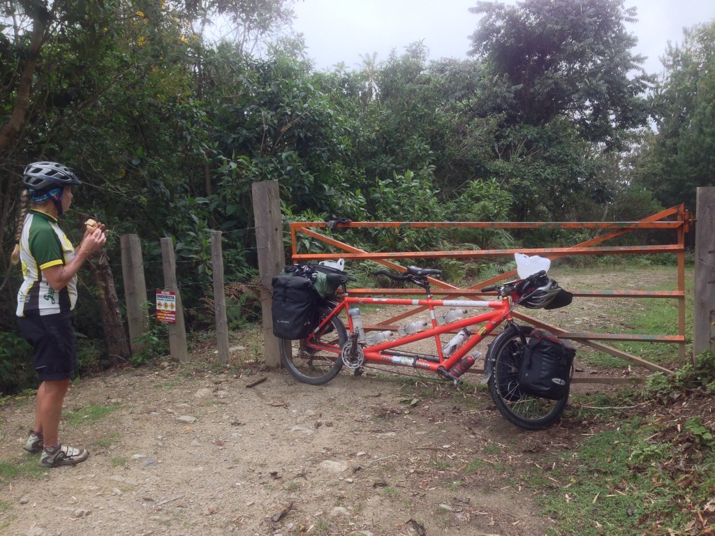
This gate marks an alternative access to the Salento-Ibague route. This trail begins down in the Cocora valley. It is very steep, so we took the road out of Salento instead.
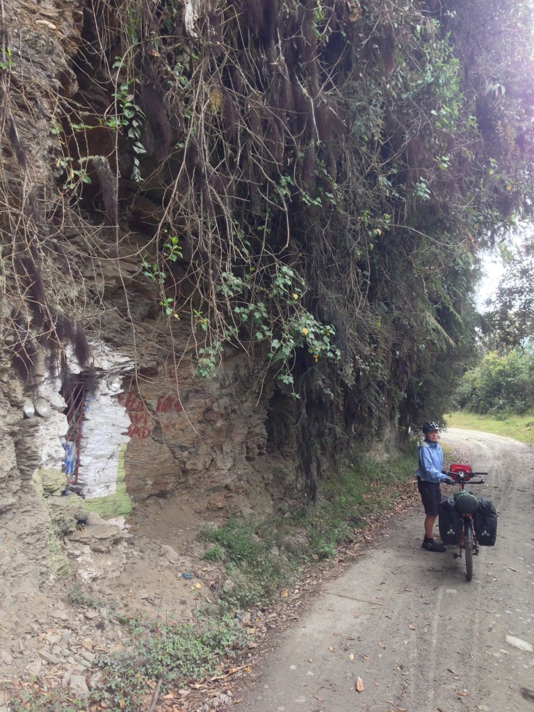
Besides great vistas along the way, there are a few shrines, waterfalls, and hanging gardens.
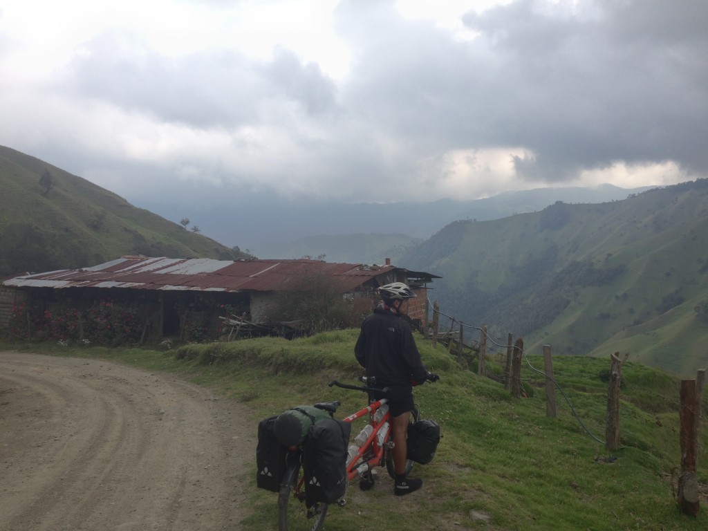
Before you get to Toche, you will have a long climb that takes you to nearly 11,000′. The track is unpaved all the way from Salento to Ibague. The portion from Salento to the top is farily smooth – but the next 40 miles are very rocky and steep (both up and down). The last 10 miles are comparatively easy into Ibague.
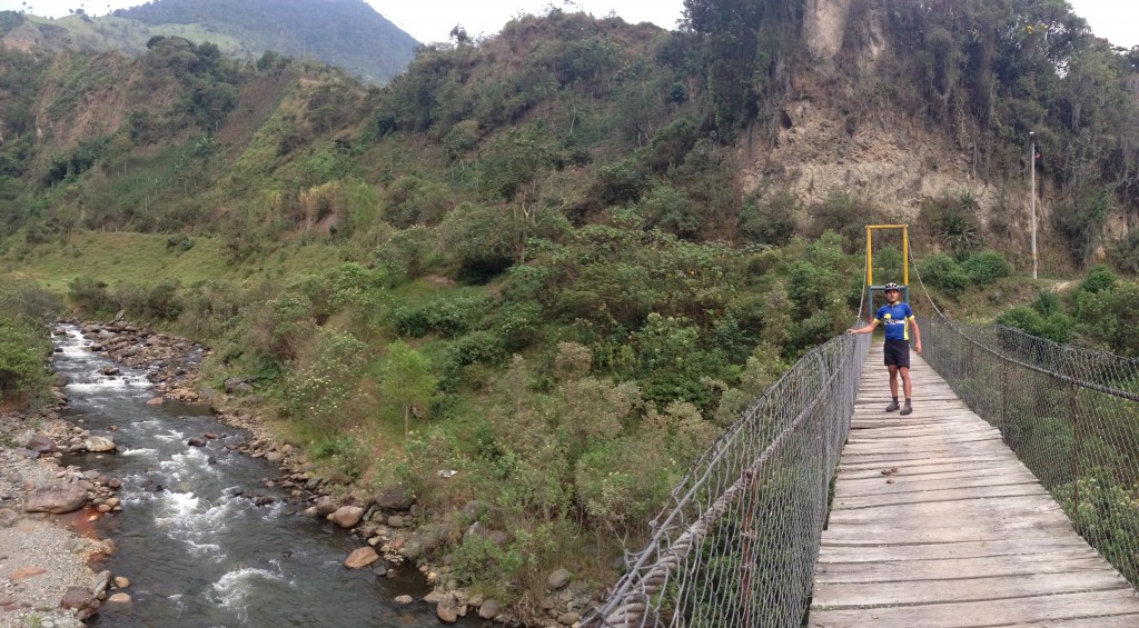
A bridge that takes you from Toche to the other side of the river.
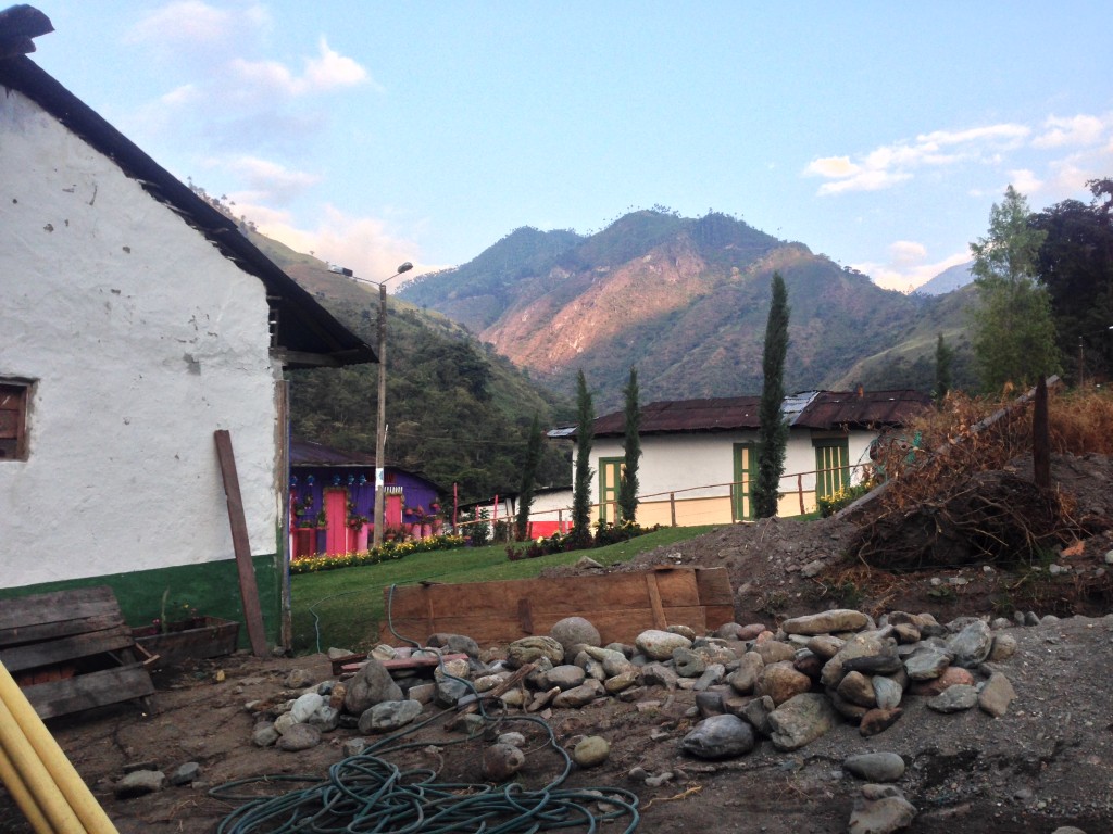
We found out from locals that there is actually a “destination” along this route. A hot spring pool, somewhere after Toche. We were excited to soak in this remote, isolated hot spring! But before we would get to the hot spring, we needed to figure out where to sleep. I had noticed a possible camping site beneath the bridge pictured above (this bridge is just before you arrive in Toche, coming from Salento)… But we decided to continue into Toche, and we were surprised to find a fledgling hotel, a small store, and a small restaurant! Part of our surprise was due to the fact that in over 6 hours on the dirt road leaving Salento, we had seen only 1 car.
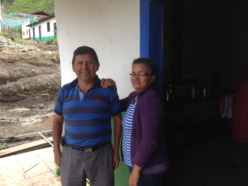
A photo of Norberto and Elisenia at their home and also Hotel Toche. +57-314-286-4022 or +57-311-534-3925. Both of them are excellent, and welcoming hosts!
Unless you are very strong and riding an unloaded bicycle, you probably won’t be able to ride from Salento to Ibague in one day. The “secret sauce” is the Hotel Toche that is being built. Right now, it is just a bunch of trenches, but Noberto projects it will be ready this summer. To find out current conditions, call Hotel Toche. +57-314-286-4022 or +57-311-534-3925
Before you assume that this is a hotel in the traditional sense, note that this is a grass roots project as of January 2016. This means that the bathroom is inside the bedroom of the owners. The shower is cold water coming out of a PVC pipe. The owners are very aware of the discomfort this situation may cause, but they made us feel as welcome and comfortable as possible in this situation when we had to slip into their bedroom for a quick bathroom break. This could all be changed by July 2016 if their project continues as planned.
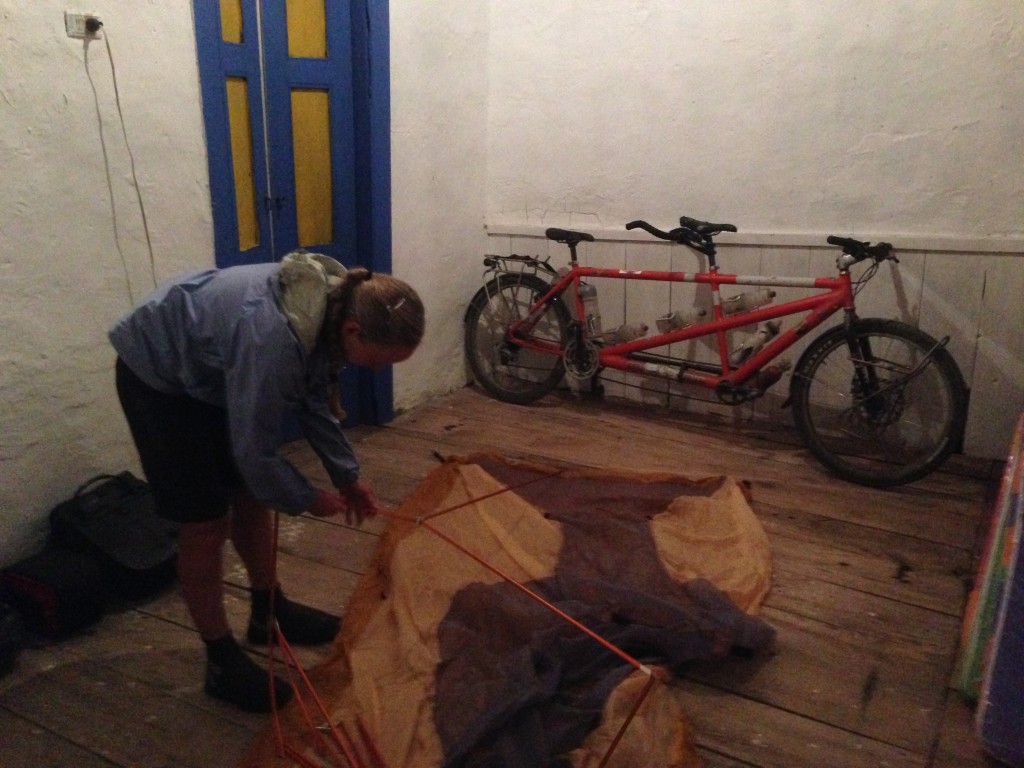
Janet setting up the tent inside the temporary room of hotel Toche. There are a few tiendas in Toche as well as a separate restaurant. Elisenia will cook you meals as well – so it turns out that you don’t need to really carry food on this crossing.
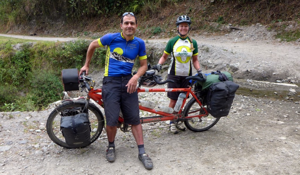
Not only did we find a hotel – but it happened to have two guests staying in it – two American bike tourists from Alaska named Scott and Sue!. These two were experienced cycle tourists, and they had already ridden from Alaska, with intentions of reaching Tierra del Fuego. Apparently, this route was not as esoteric as we thought!
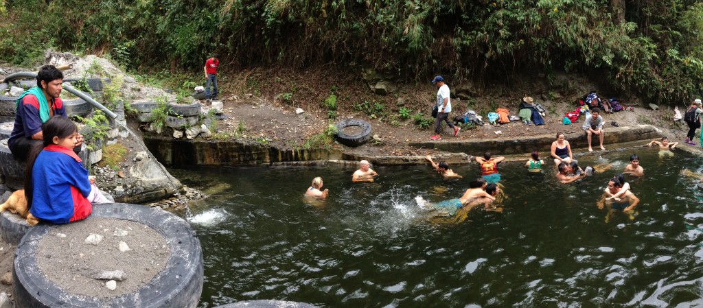
Hot springs encountered along the Salento-Toche-Ibague route. These hot springs are located at N 04° 28.494 W 075° 23.297. We figured they were fairly unknown, as some locals we asked were even unaware of this dirt route… but as you can see, the pools were quite crowded when we arrived on a Sunday! They’re right along the route, and at least on this day, a woman was asking us for $3,000 COP ($1 US) to enter.
From Toche, it is a steep climb to get to the hot springs. It probably took us over an hour (first a climb, then a descent). Descending, you will be heading into the crater of Volcan Cerro Machín. For some reason, as you’re riding, it doesn’t really seem like a volcanic crater in the traditional sense (i.e. it’s not shaped like a cone). It is in this volcanic crater that you encounter the hot springs mentioned above. I suspect that you’d want to try and schedule your visit on a week day to avoid the crowds. This is a very remote location, and chances are good that it would be devoid of people any day except Saturday, Sunday, and holidays.
(Photo Courtesy of Scott Mlynarczyk)
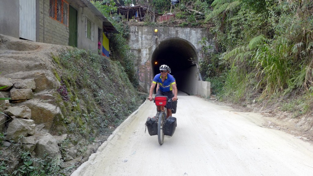
Just before you reach Ibague, you will encounter two one-lane tunnels that are 400+ meters long! This is a little scary on a bicycle! We rode through quickly, and didn’t encounter anyone coming the other way. (Photo Courtesy of Scott Mlynarczyk)
We ended up joining forces with Scott and Sue for several days afterward. We found them to be extremely compatible partners in terms of pace, interests, and senses of humor. You can imagine that with a trip like theirs, we were constantly entertained with plenty of great stories. We hope to rejoin them again in the future in our respective journeys South. They do not maintain a blog, but here you can see some of their great photography (much better than ours)
Strava Maps for the route discussed above:
This is the map for the entire route discussed in this post. To Export GPX files, click on the three horizontal bars in the upper right hand corner of the map and select Export selected map data…
To see this map in a full screen, click here (opens in new window)